
U.S. 50 West - Penrose to Cañon City
 West
West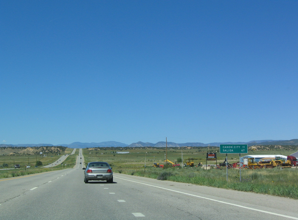
Leading west from the diamond interchange with SH 115 at Penrose, U.S. 50 advances 11 miles to Cañon City and 67 miles to Salida.
08/29/04
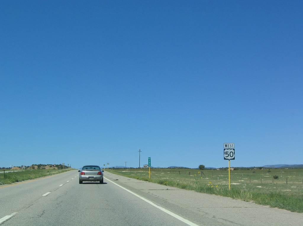
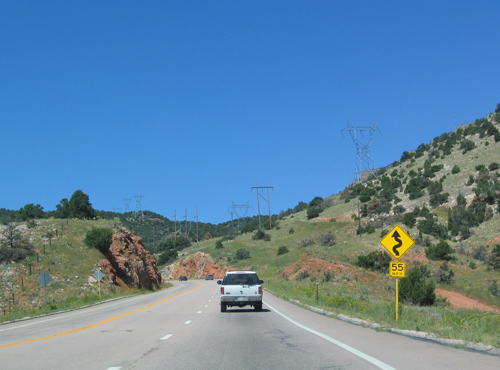
A westbound U.S. 50 reassurance shield follows by milepost 289.
08/29/04
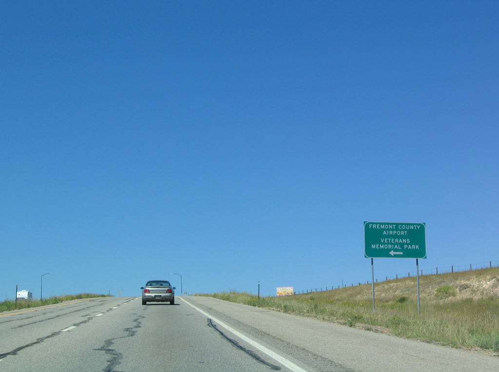
Fremont County Airport (1V6) lies just south of U.S. 50 by milepost 286. Private and commercial aviation uses the airport, which also serves some of the sightseeing tours around Royal Gorge.
08/29/04
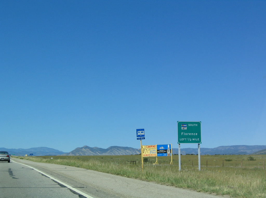
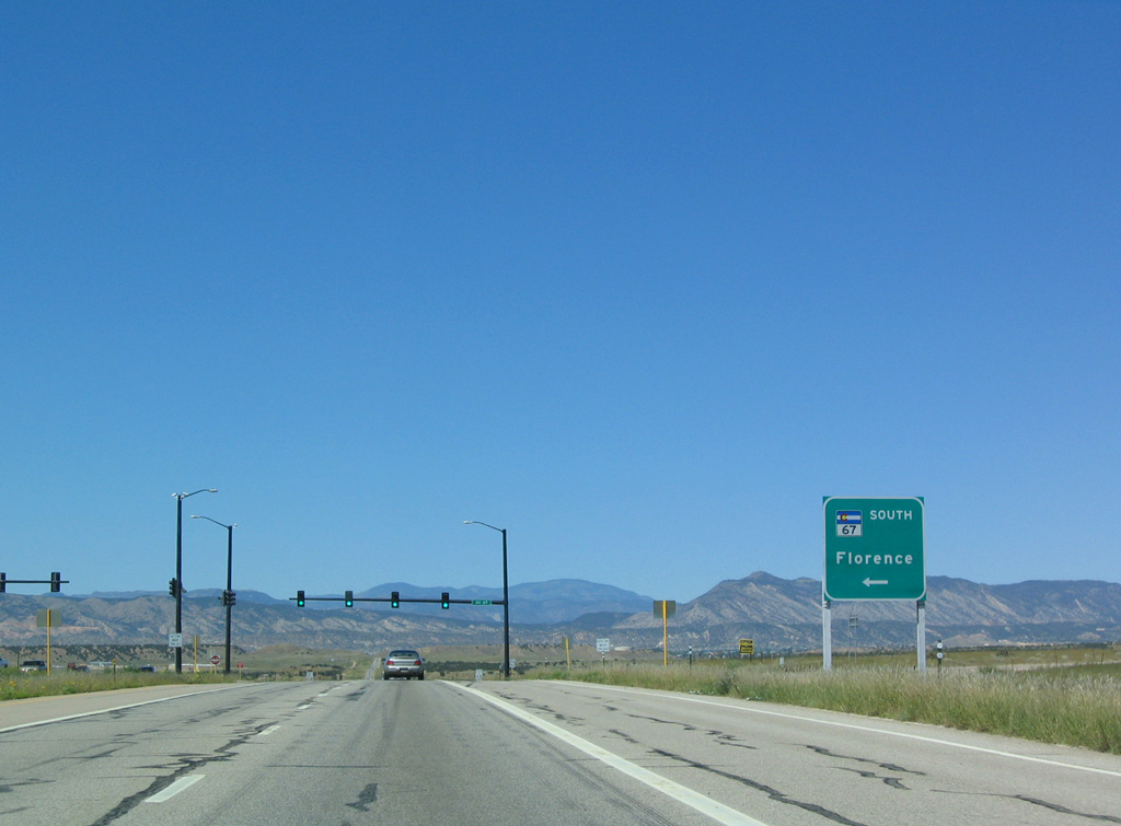
SH 67 runs just west of Fremont County Airport (1V6). U.S. 50 meets SH 67 at a signalized intersection.
08/29/04
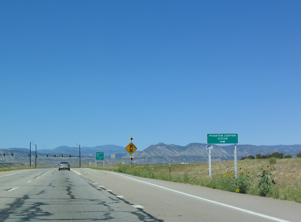
CR 67 extends north from SH 67 and U.S. 50 to Phantom Canyon and the continuation of SH 67 from Victor.
08/29/04
Traveling 127.45 miles overall, SH 67 stretches north to U.S. 85 at Sedalia and south to SH 96 at Wetmore. The route is discontinuous as a state highway, with locally controlled sections such as Phantom Canyon Road here, in between.
08/29/04
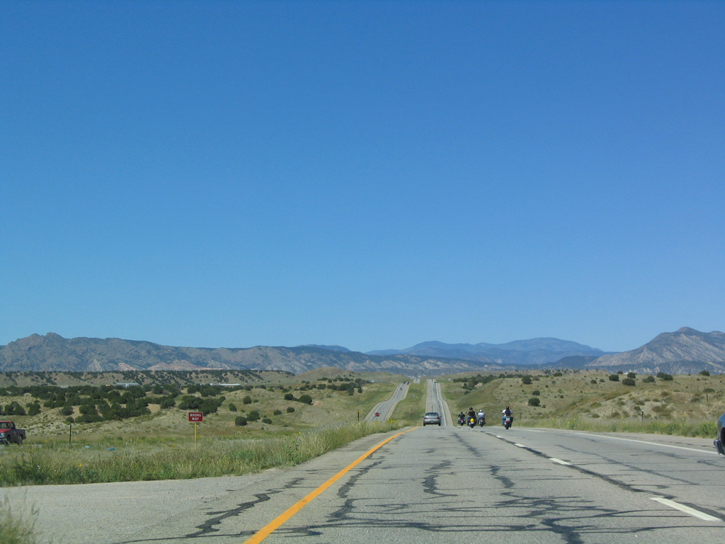
The expressway along U.S. 50 proceeds west from SH 67 across Sixmile Creek.
08/29/04
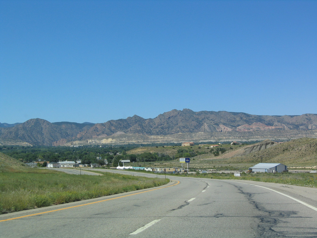
Cañon City comes into view as U.S. 50 west descends into a valley fed by Fourmile Creek. Twin Mountain rises to the northwest.
08/29/04
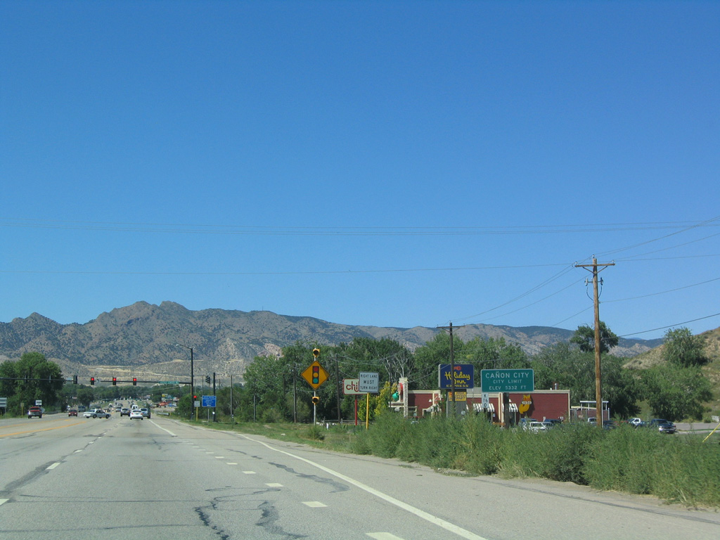
U.S. 50 transitions into a commercial arterial through the east side of Cañon City. The city is the seat of Fremont County and home of the Historic Royal Gorge Route Railroad.
08/29/04
15th Street north connects U.S. 50 (Royal Gorge Boulevard) west with parallel Main Street through the historic downtown area and business district.
08/29/04

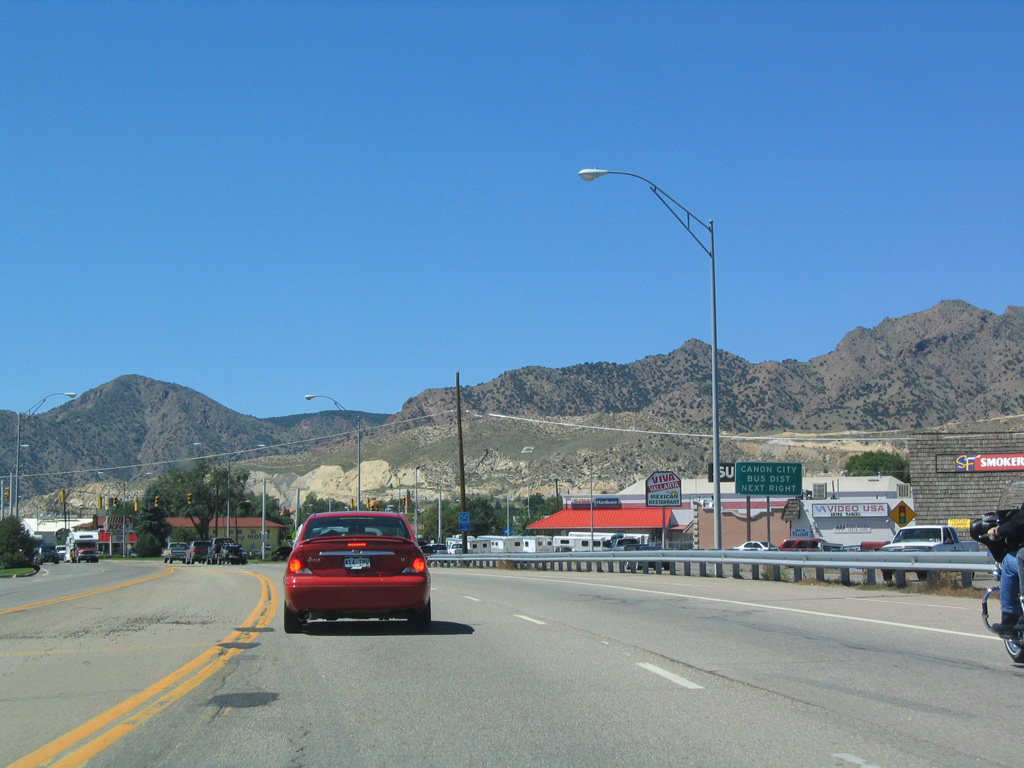
U.S. 50 converges with the west end of SH 115 in Cañon City. SH 115 travels south via 9th Street and east along Elm Avenue toward Brookside, Williamsburg and Florence.
08/29/04
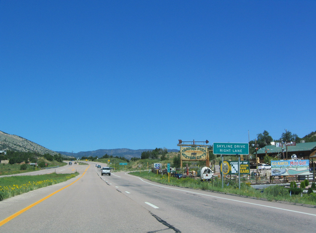
Skyline Drive flows south from U.S. 50 along the plateau overlooking Cañon City. The one way road winds south then east to Floral Avenue in the city street grid.
08/29/04
The four lane stretch of U.S. 50 concludes just north of Skyline Drive. The US highway turns northwest through Devils Gap on the ensuing stretch.
08/29/04
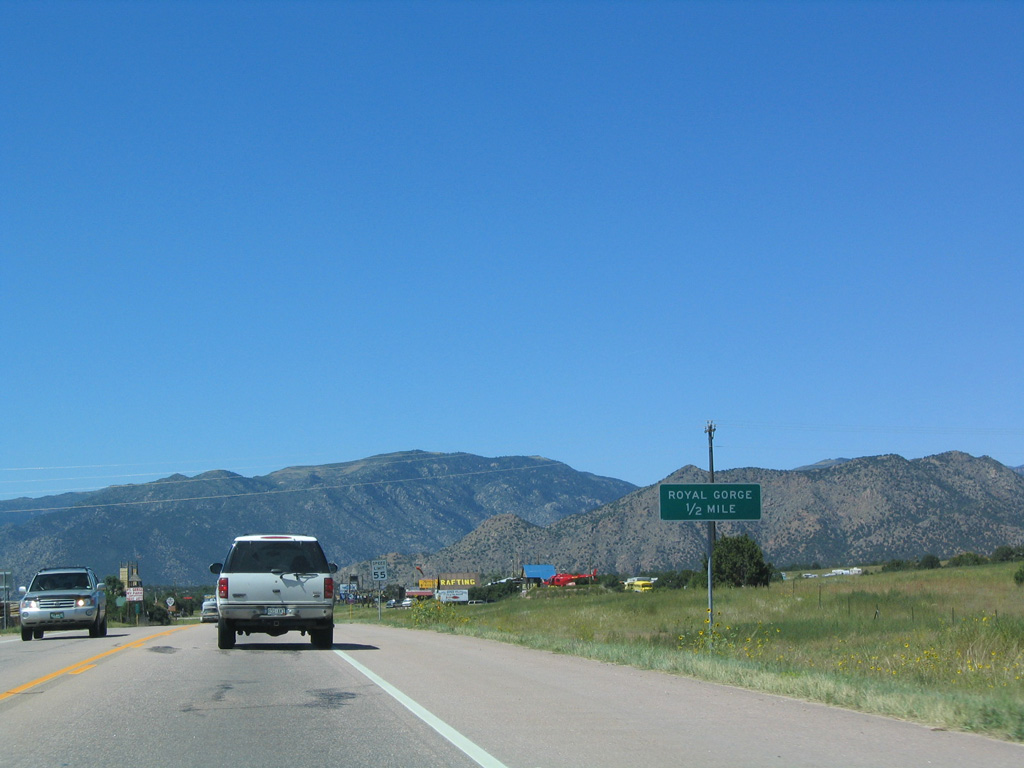
Westbound U.S. 50 advances a half mile to the turn off for Fremont County Road 3A south to the Royal Gorge on the Arkansas River.
08/29/04
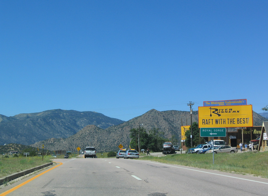
County Route 3A meanders 4.3 miles south from U.S. 50 to the Royal Gorge Bridge, the highest suspension bridge in the world. Built as a link across the Royal Gorge of the Arkansas River, the bridge today serves more as a regional attraction for visitors to Central Colorado.
08/29/04
Photo Credits:
- Andy Field: 08/29/04
Connect with:
Page Updated Friday May 05, 2017.