
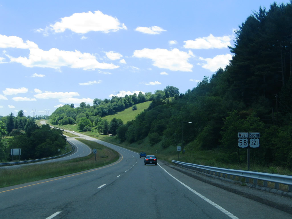
U.S. 58 West / U.S. 221 South - Hillsville to Independence

 West
West  South
South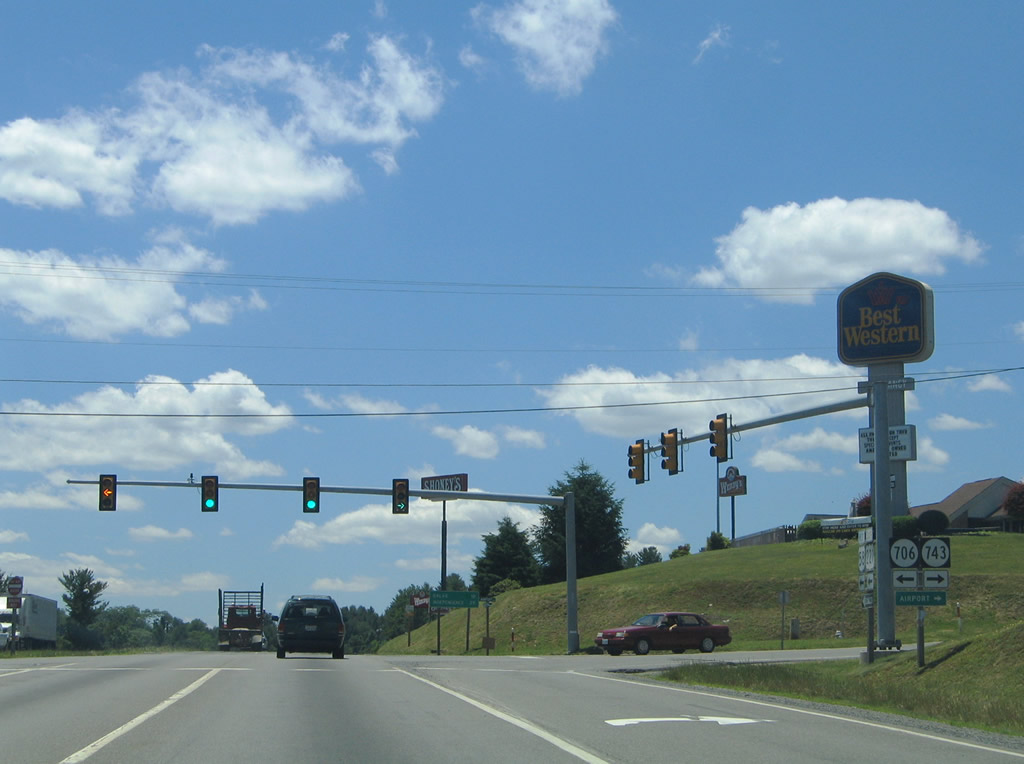
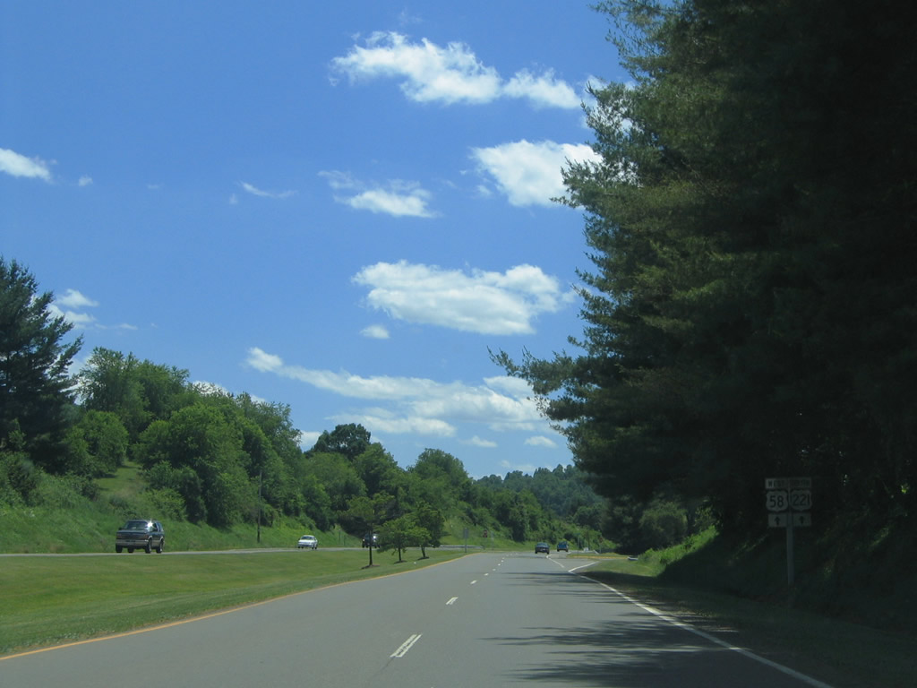
U.S. 221/58 combine at the Carroll County seat of Hillsvile and travel west to I-77 at Exit 14. Beyond the exchange, the two intersect SR 706 (Farmers Market Drive) south and SR 743 (Airport Road) north to Five Forks and Twin County Airport.
06/17/05
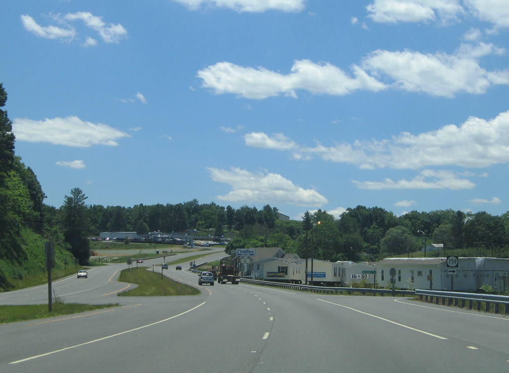
SR 759 (Carrollwood Drive) parallels the north side of U.S. 58/221 (Carollton Pike) for a short distance to SR 707 (Training Center Road).
06/17/05
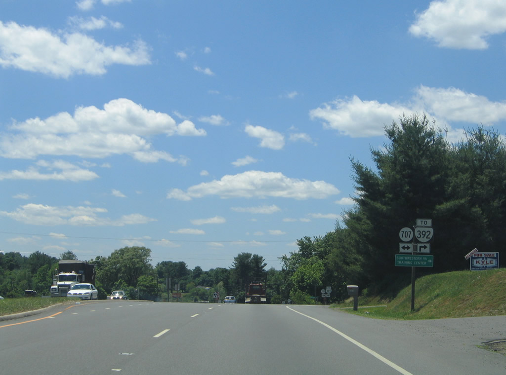
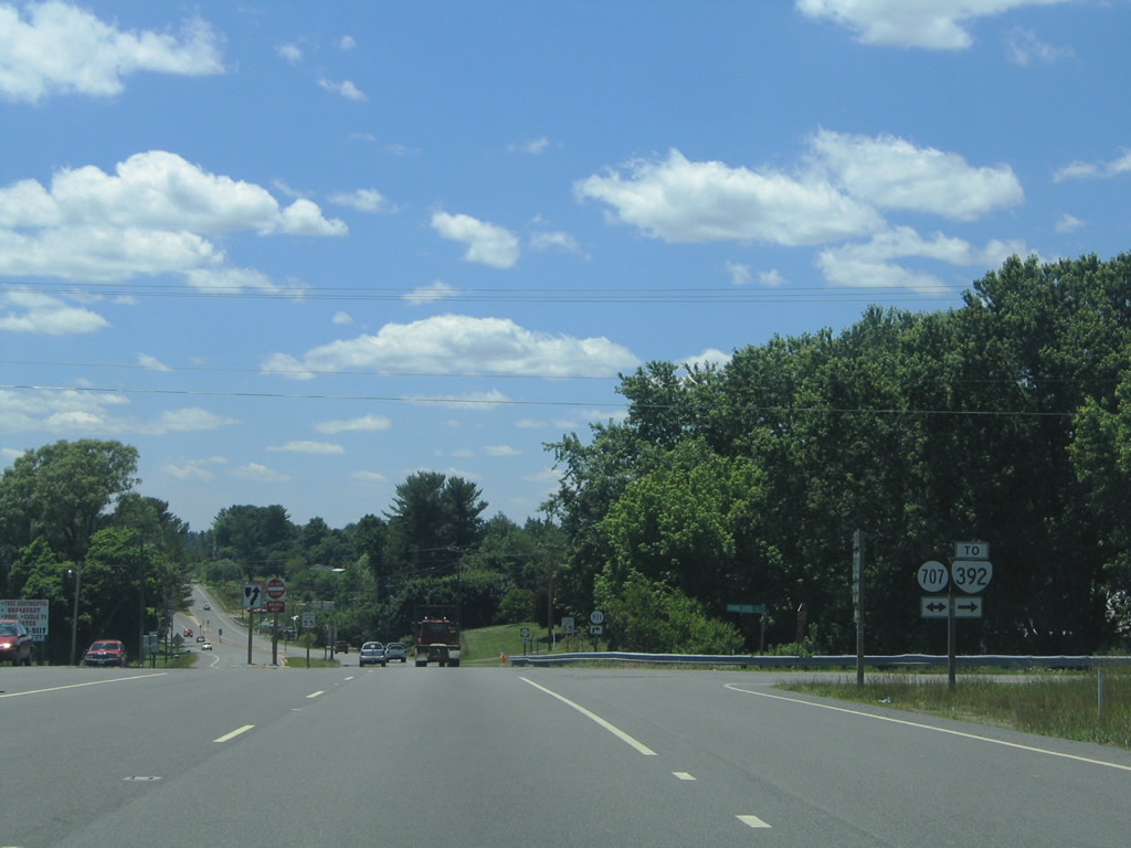
SR 707 (Training Center Road) connects U.S. 58/221 (Carollton Pike) with SR 392 (Harrison Circle), a 1.05 mile long access road connecting Training Center Road with the Southwestern Virginia Training Center.
06/17/05
SR 707 follows Senior Road west from Training Center Road to SR 620 (Coulson Church Road) and ends to the south at SR 701 (Joy Ranch Road).
06/17/05
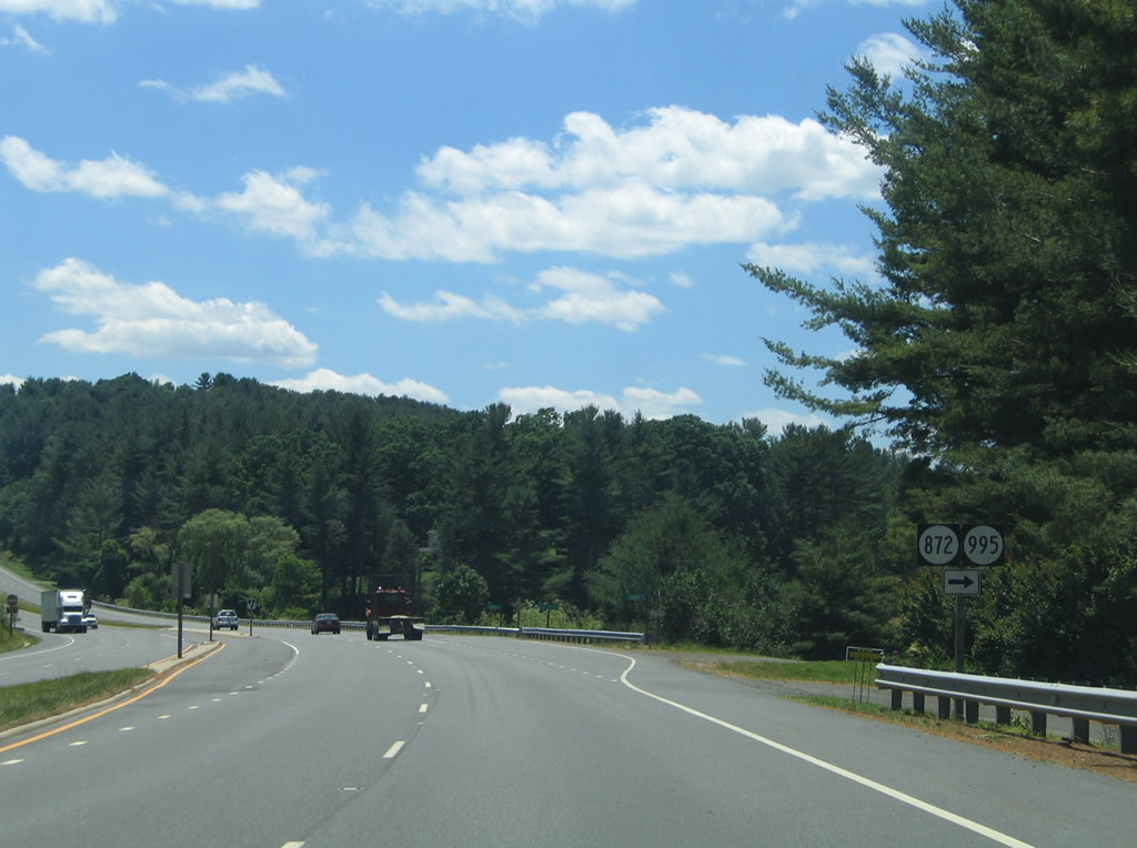
SR 995 (Dewberry Drive) constitutes a short residential loop from U.S. 58/221. SR 872 (Woodlawn Road) represents an older alignment of U.S. 58 through Woodlawn.
06/17/05
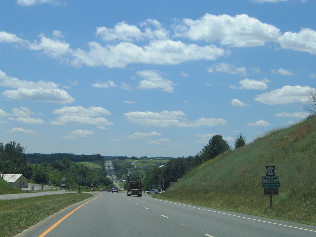
SR 620 (Coulson Church Road) winds northward from U.S. 58/221 near Woodlawn to I-77 at Exit 19 and south along Forest Oak Road to Higgins Crossroads.
06/17/05
Continuing the descent into the Crooked Creek valley, U.S. 58/221 (Carrollton Pike) advance west seven miles to Galax.
06/17/05
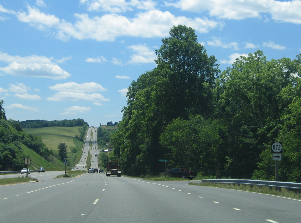
Woodlawn Road (SR 872) west returns to U.S. 58/221 ahead of Crooked Creek.
06/17/05
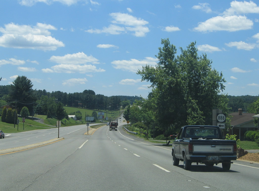
SR 888 south of U.S. 58 /221 (Carrollton Pike) is a residential street east of Galax.
06/17/05
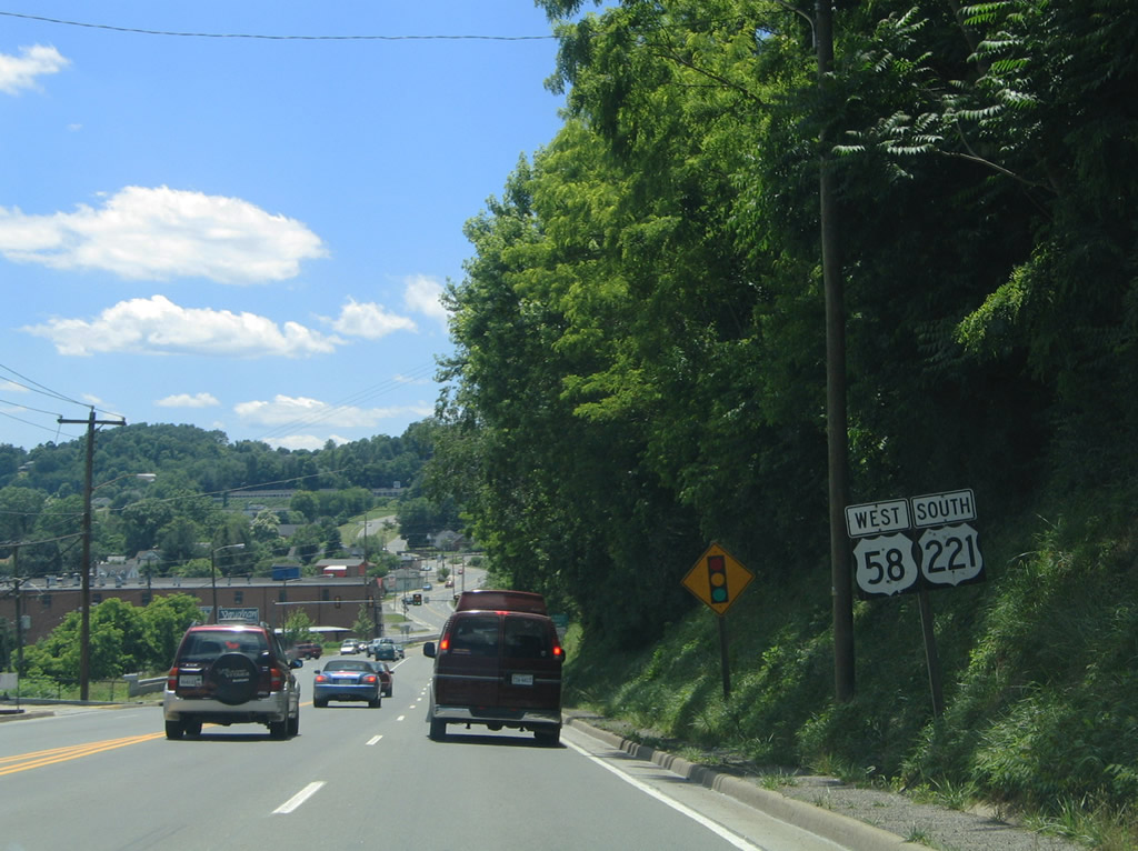
U.S. 58/221 west enter the independent city of Galax along a commercialized stretch on Stuart Drive. Glendale Road converges with the arterial along the old alignment of U.S. 58 from the Cliffview part of the city.
06/17/05
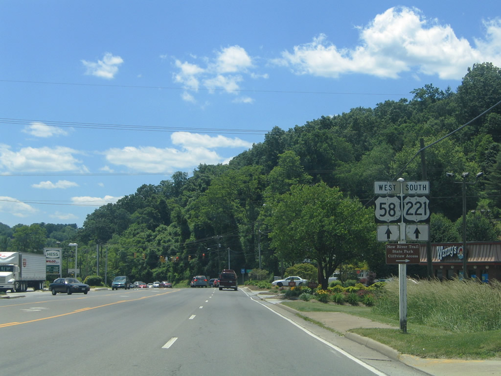
Glendale Road ends opposite Caldwell Street south to View Street. Truck interests to SR 89 (South Main Street / Skyline Highway) south to Lowgap, North Carolina are advised to turn onto Meadow Street south three blocks west of Glendale Road.
06/17/05
Reassurance markers posted for U.S. 58/221 along Stuart Drive on the descent toward Chestnut Creek in Galax.
06/17/05
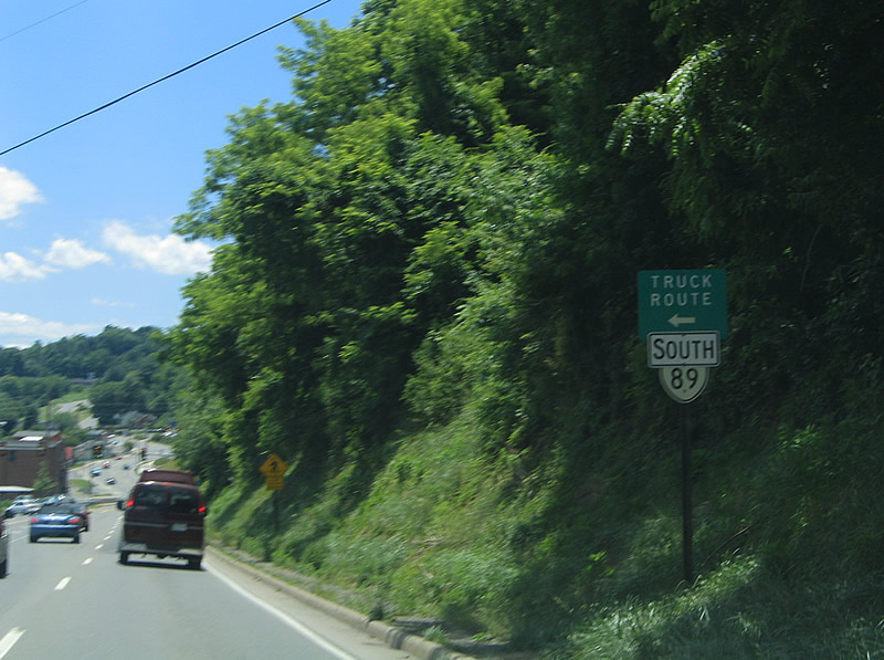
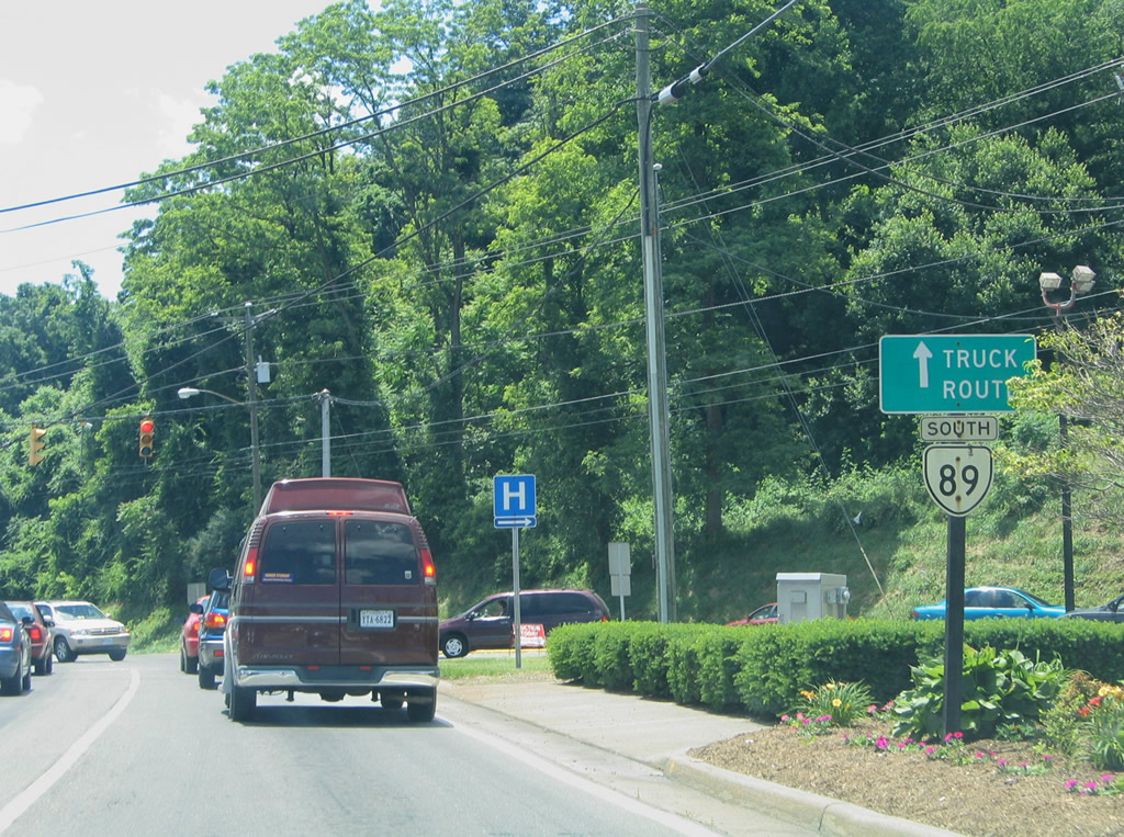
SR 89 Truck follows Meadow Street south along Chestnut Creek to Lineberry Road.
06/17/05
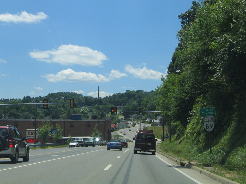
Westbound Stuart Drive at Meadow Street / SR 89 Truck south. Lineberry Road travels directly to SR 89 (S Main Street) near SR 97 (Pipers Creek Road).
06/17/05
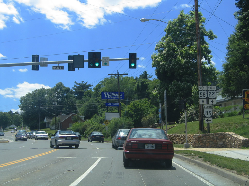
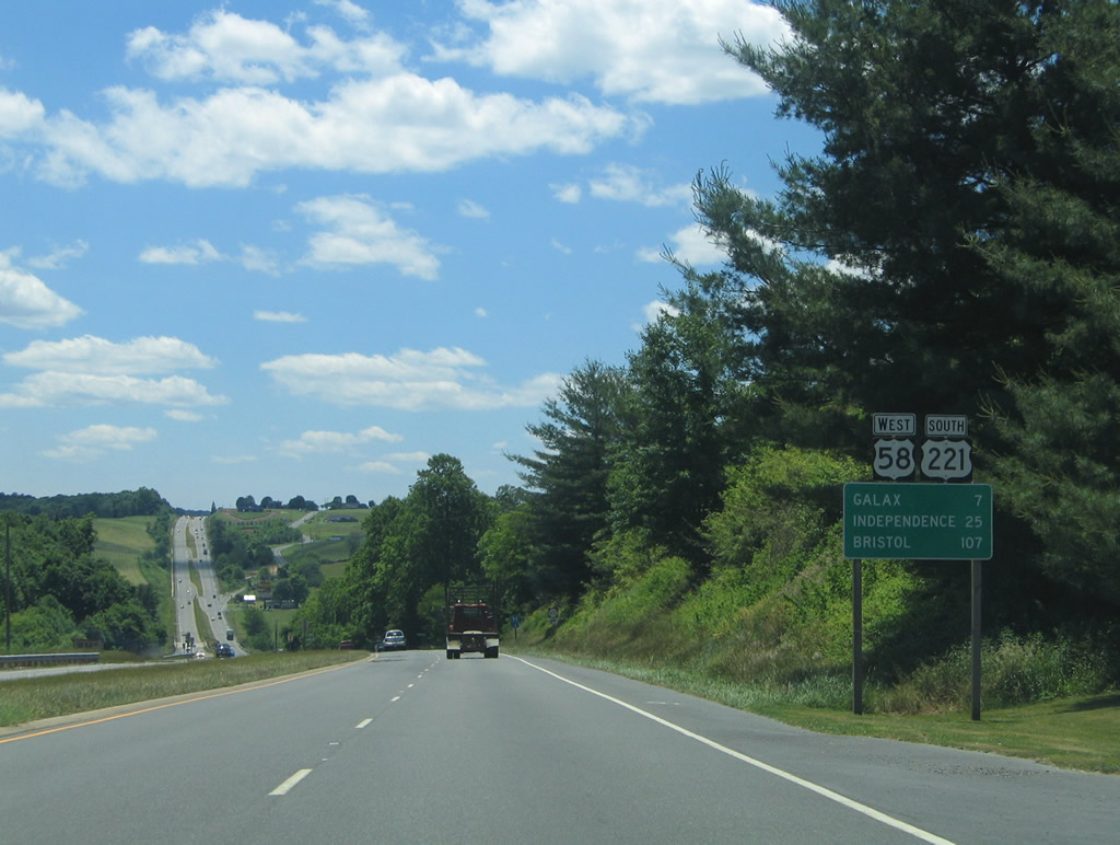
SR 89 runs along Main Street through Downtown Galax to U.S. 58/221 (Stuart Drive). SR 89 travels seven miles from Galax south to the North Carolin, where to becomes NC 89 en route to Walnut Cove.
06/17/05

U.S. 58/221 (Reserve Boulevard) expand into a four lane highway west from Lafayette Street to West Galax.
06/17/05
U.S. 58/221 west of Greenville Road and W Stuart Drive. Greenville Road becomes SR 640 west of the Galax city line to Oldtown. Stuart Drive east through West Galax represents the old US route alignment.
06/17/05
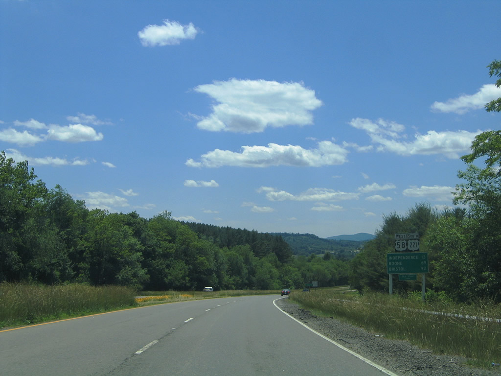
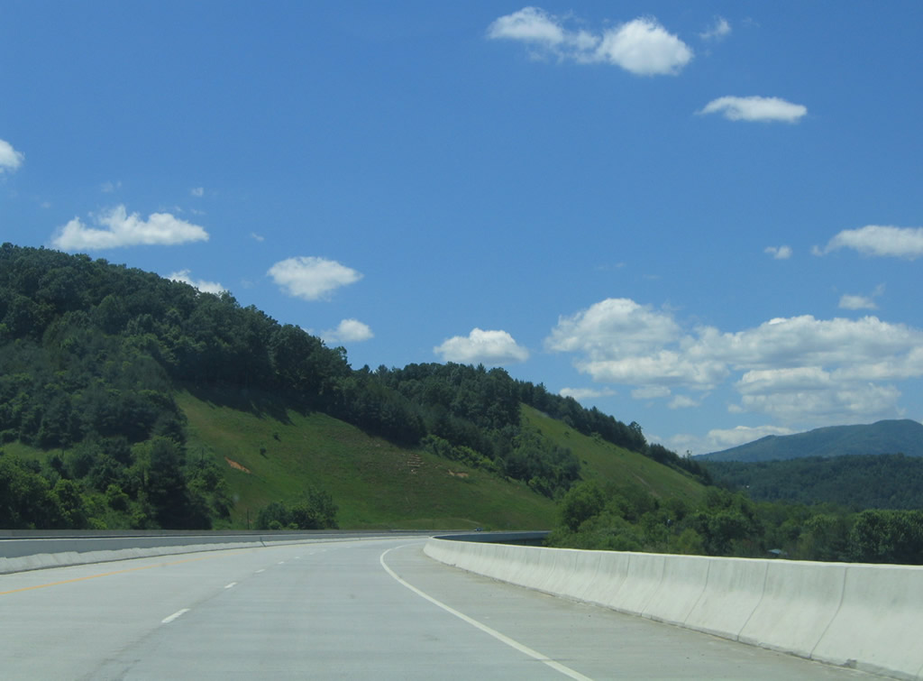
Following Grayson Parkway, U.S. 58/221 proceed 13 miles from Galax to the Grayson County seat of Independence.
06/17/05
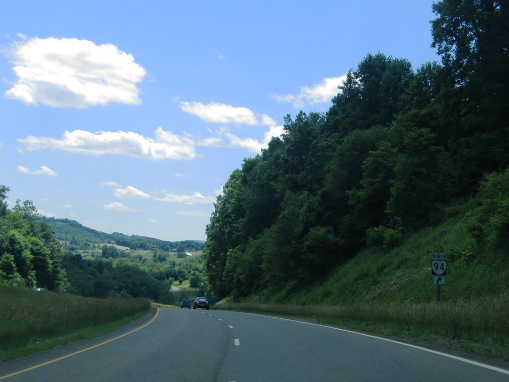
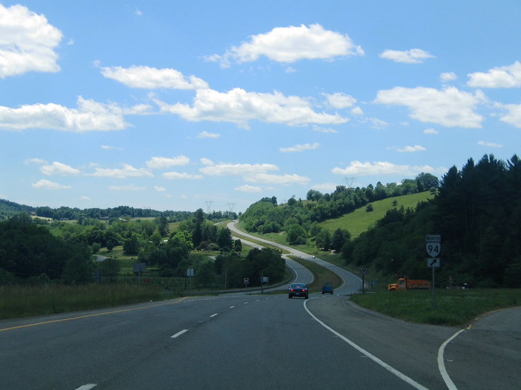
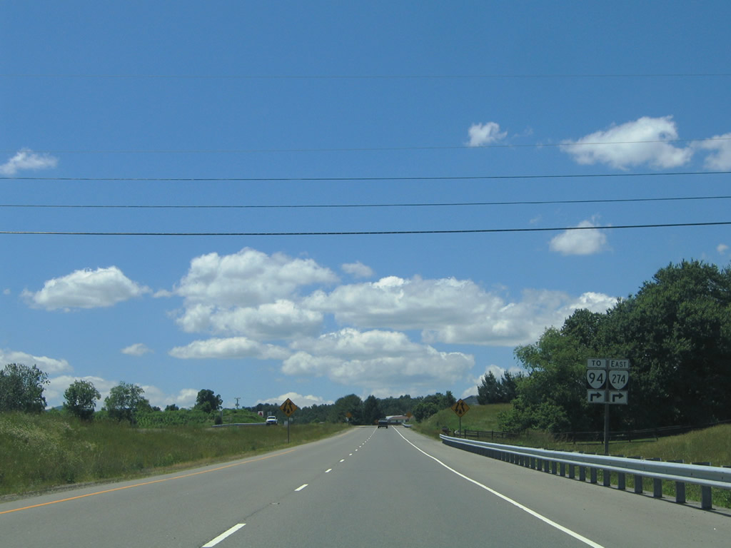
Approaching the northbound beginning of SR 94 (Riverside Drive) at Reavistown.
06/17/05
SR 94 comprises a 33 mile long route between U.S. 58/221 (Grayson Parkway) and U.S. 52 near Fort Chiswell.
06/17/05
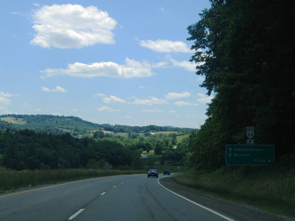
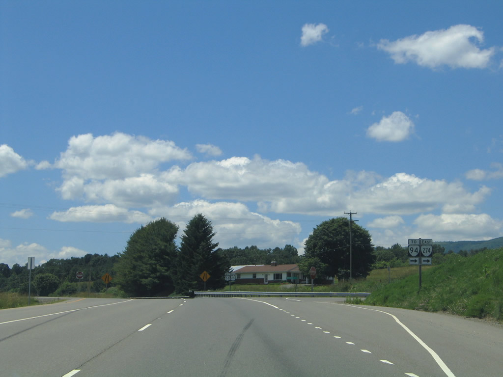
SR 94 (Riverside Drive) departs U.S. 58/221 northbound to Riverside (SR 274), Providence and Fries. SR 94 west to Providence in conjunction with SR 274 represents an older alignment of U.S. 58/221 along the New River.
06/17/05
U.S. 58/221 (Grayson Parkway) west from SR 94 and Revistown to SR 636 (Haystack Road) opened in 1975 as SR 212. The four lane alignment was extended to SR 274 (former U.S. 58-221) by 1978 and renumbered to U.S. 58/221 by 1979.1
06/17/05
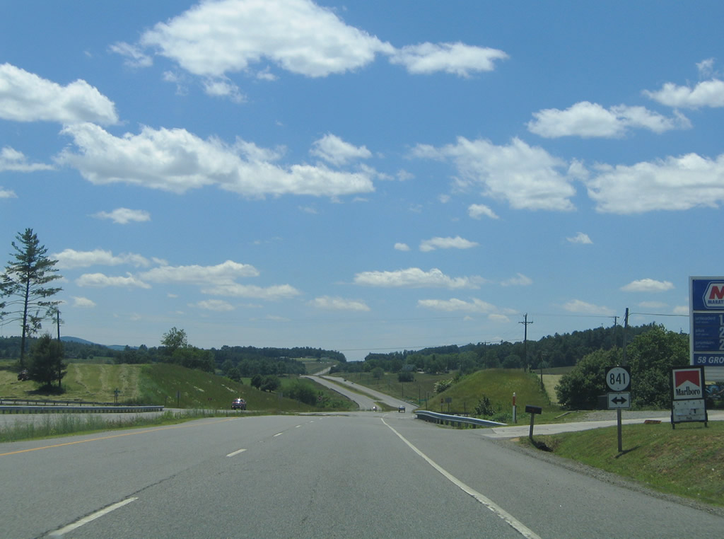
SR 841 (State Shed Lane north / Rend Road south) meet U.S. 58/221 north of Hampton Knob.
06/17/05
U.S. 58/221 span the New River on a pair of high level bridges west of Baywood. The first bridge opened in 1979 and was reconstructed in 2001. The second bridge was added by 1999.
06/17/05
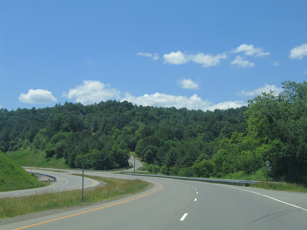
SR 693 (Sugar Shack Road) connects U.S. 58/221 (Grayson Parkway) with SR 274 (Riverside Drive) west of the New River.
06/17/05
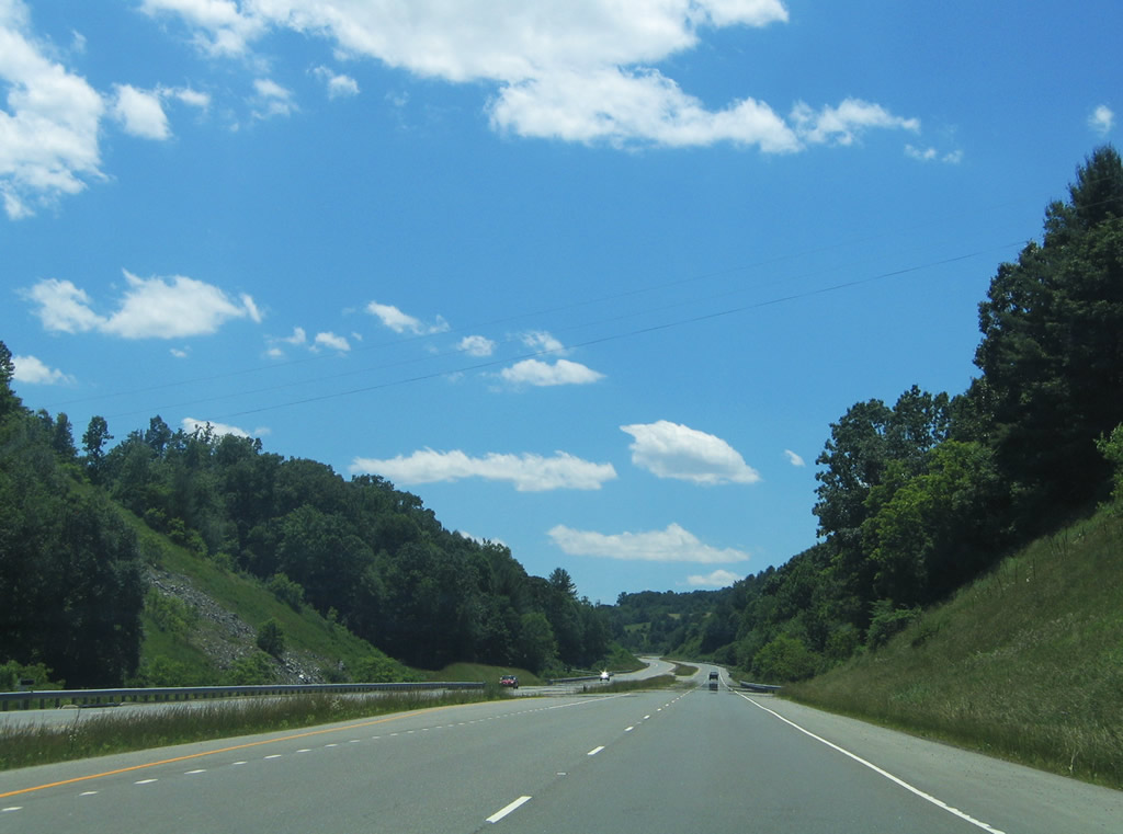
U.S. 58 west / U.S. 221 south parallel Johns Creek between SR 693 and SR 274.
06/17/05
SR 274 follows Riverside Drive east 7.36 miles to SR 94 in Riverside.
06/17/05
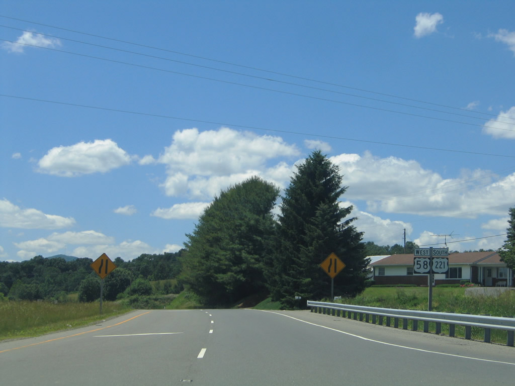
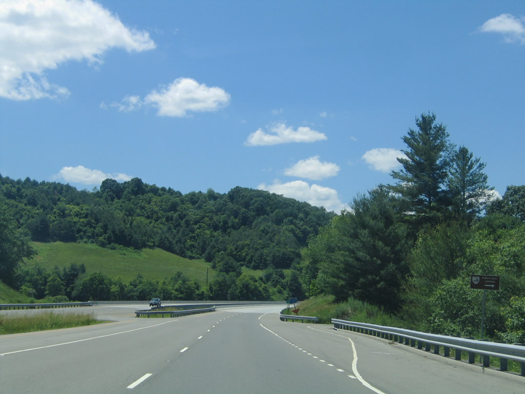
U.S. 58 west / U.S. 221 south reduce to two overall lanes as they resume along their original alignment into Independence.
06/17/05

Entering Independence, U.S. 58/221 transitions from Grayson Parkway onto E Main Street. A traffic light operates at the entrance to Grayson County High School.
06/17/05
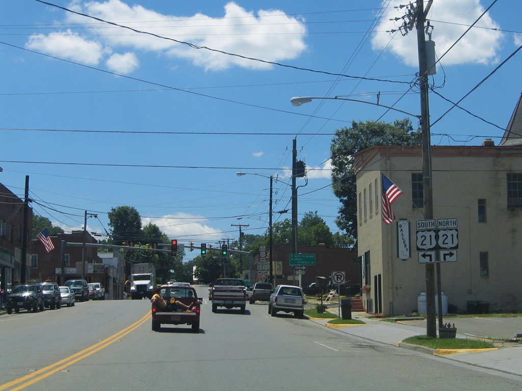
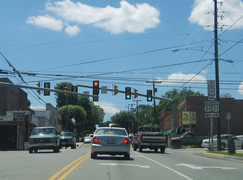
U.S. 221 parts ways with U.S. 58 (Main Street) west for U.S. 21 (Independence Avenue) south to New Haven, North Carolina.
06/17/05
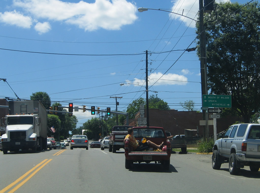
U.S. 21 travels north to Elk Creek, Speedwell and Wytheville. U.S. 58 continues west from Independence to Mouth of Wilson, Abingdon and Bristol.
06/17/05
Beyond their overlap into North Carolina, U.S. 21 continues south to Sparta and Elkin while U.S. 221 angles southwest from Twin Oaks to Jefferson and Boone.
06/17/05
Photo Credits:
- Alex Nitzman: 06/17/05
Connect with:
Page Updated Wednesday April 21, 2021.