
U.S. 58/360 East - Danville to South Boston


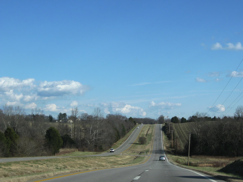
U.S. 58/360 combine along South Boston Road from the Danville Expressway (U.S. 29) for 27.8 miles between Danville and South Boston.
12/21/08
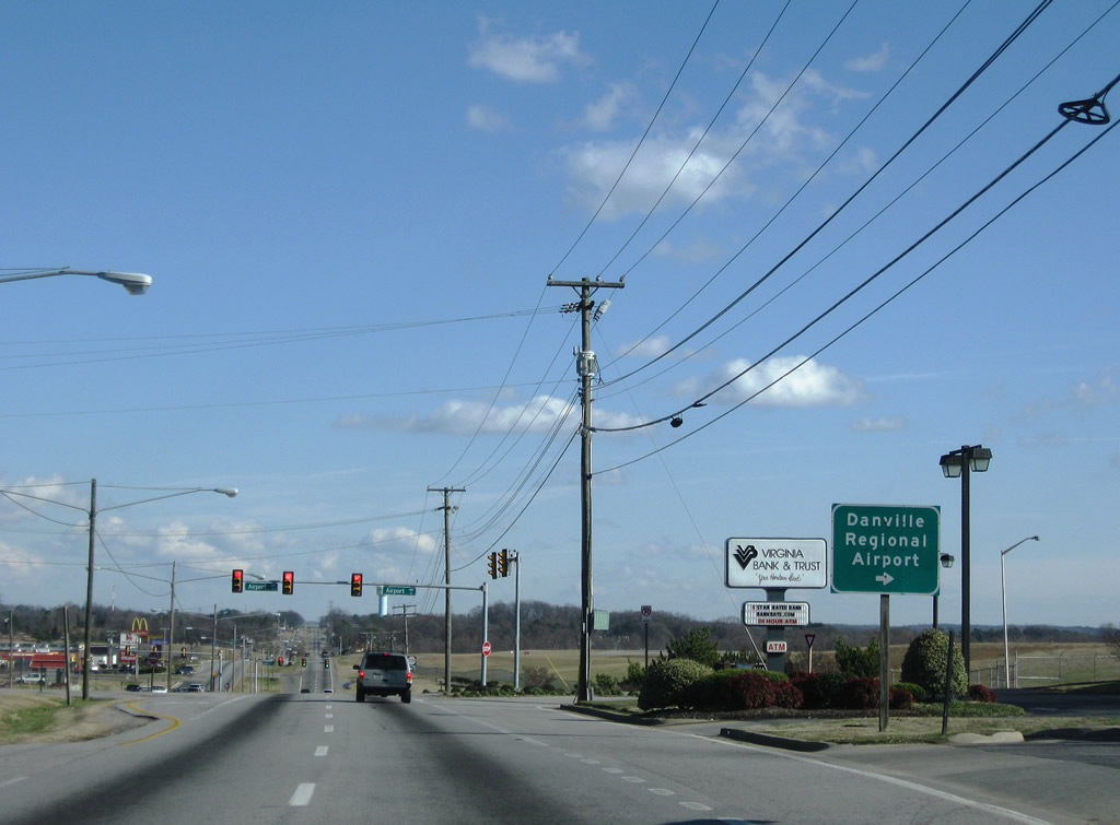
Airport Drive leads south from Halifax Road (SR 655) across U.S. 58/360 to Danville Regional Airport.
12/21/08
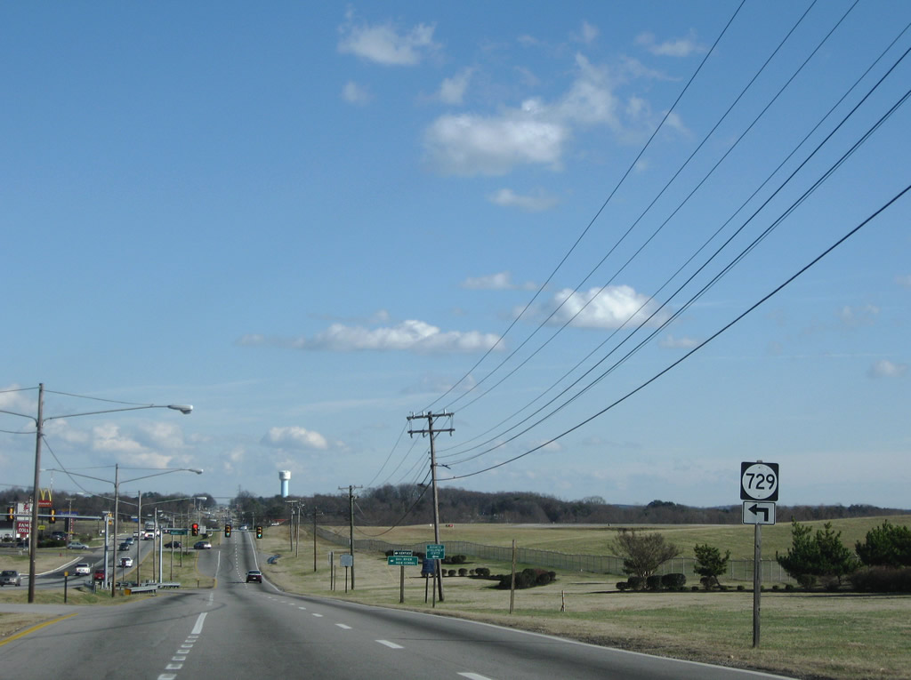
SR 729 (Kentuck Road) spurs north from South Boston Road to SR 655 and the Danville Industrial Development Area. SR 729 eventually reaches Kentuck and SR 360 west of Red Oak Hollow.
12/21/08
Mountain Hill Road (SR 947) travels east of Danville Regional Airport to Mountain Hill, SR 735 (Cedar Road).
12/21/08
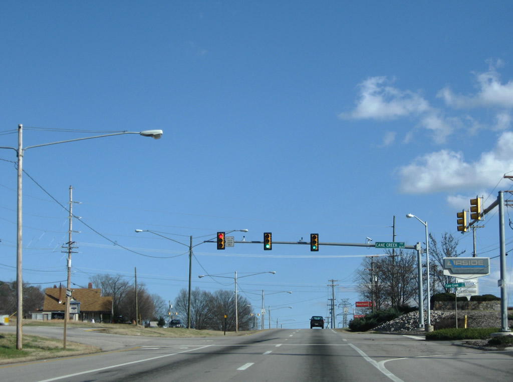
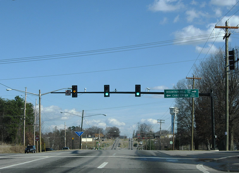
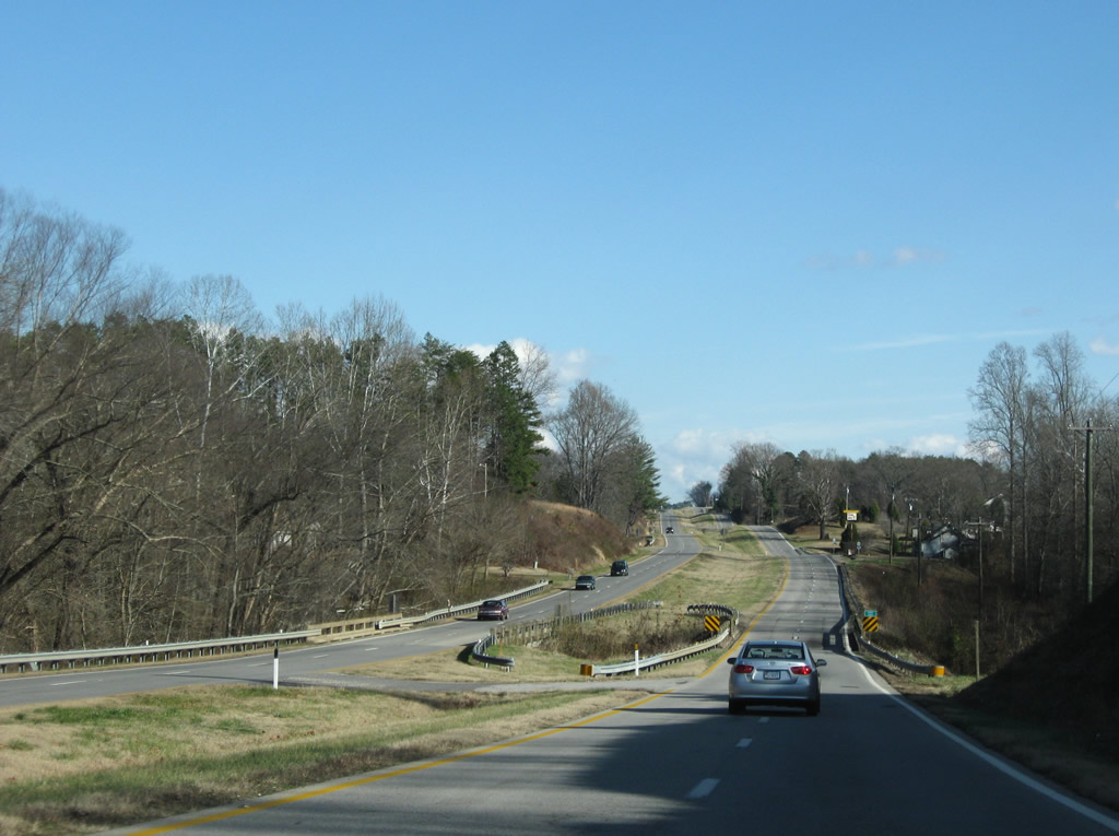
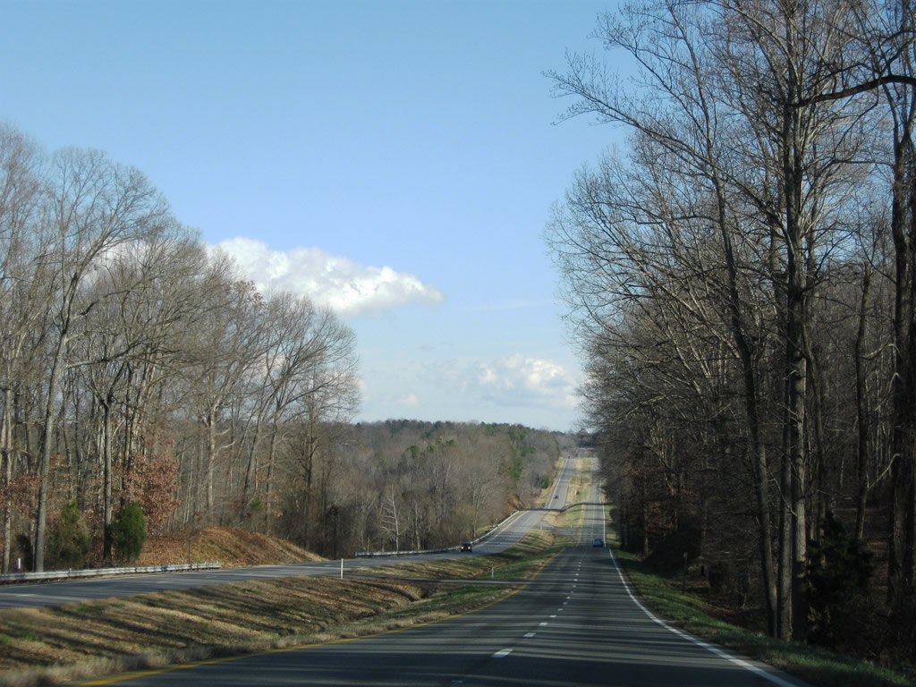
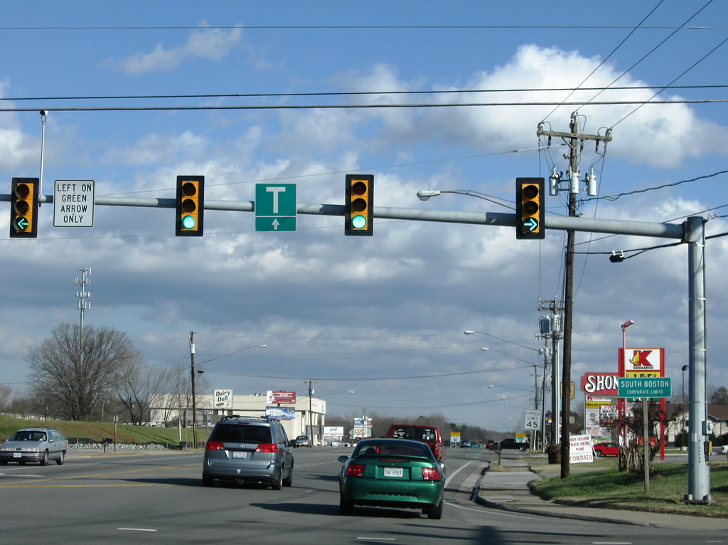
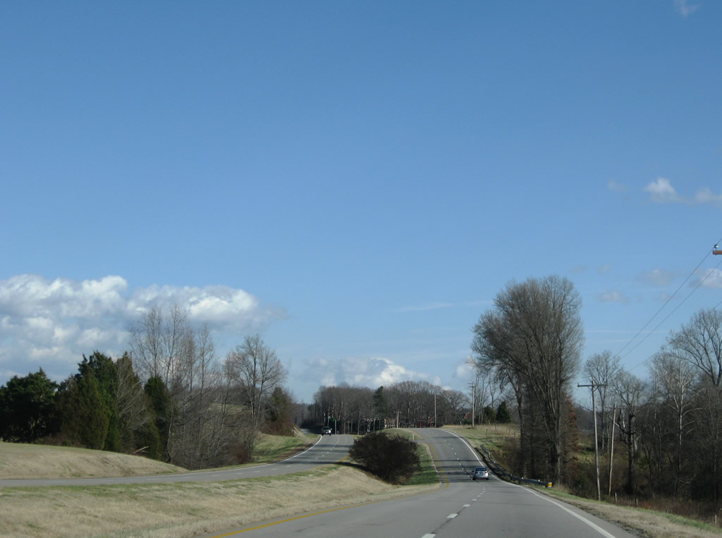
U.S. 58/360 (South Boston Road) enter the Lakewood community and intersect Cane Creek Boulevard south.
12/21/08
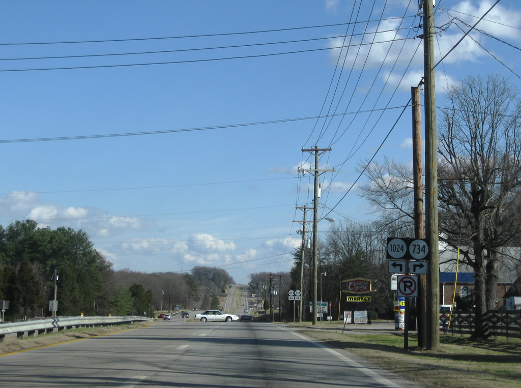
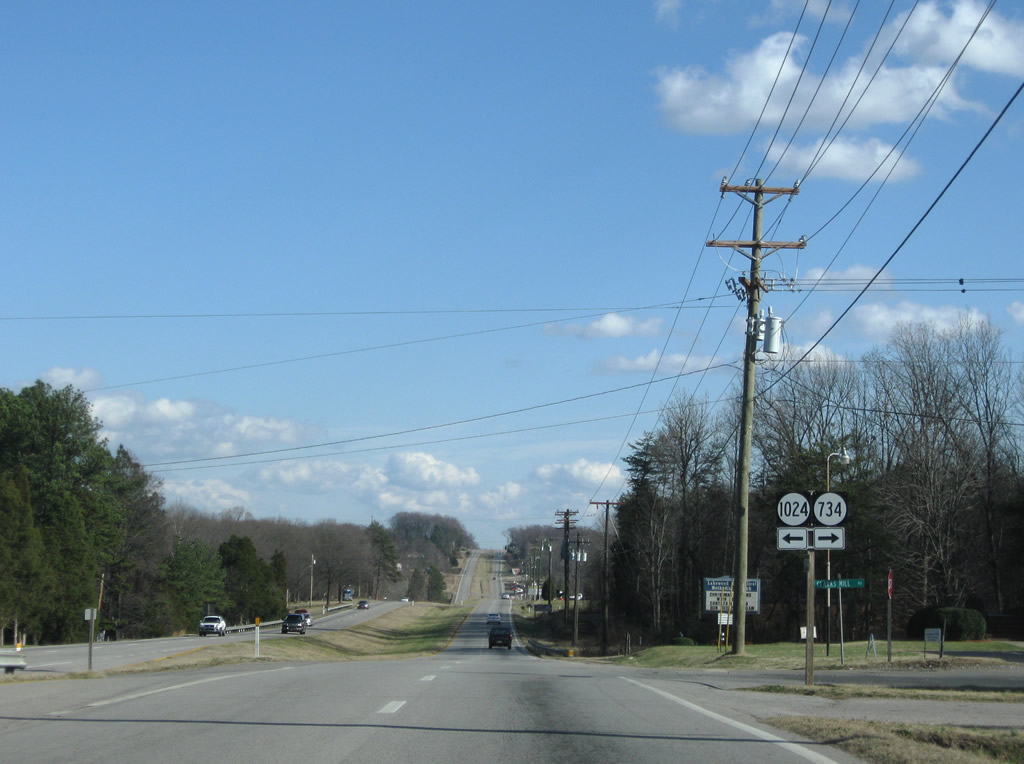
U.S. 58/360 east exit the city of Danville and enter Pittsylvania County ahead of the intersection with SR 1024 (Gunn Garland Road) north and SR 734 (Clarks Mill Road) south. SR 734 continues to Mountain Hill to the south and Ringgold to the north.
12/21/08
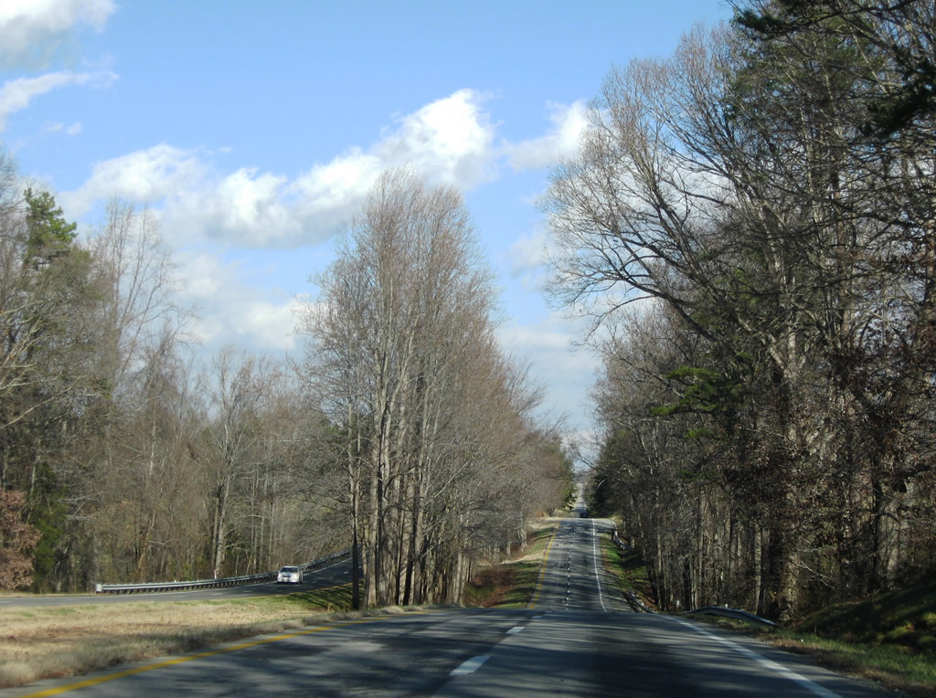
U.S. 58/360 (South Boston Highway) east near the Tom Fork of Cane Creek.
12/21/08
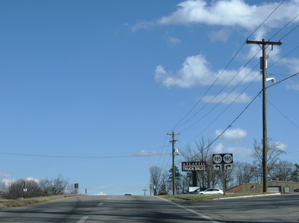
SR 985 follows Staton Drive north and Albert Edmonds Drive south from U.S. 58/360. These roads do not connect with any other highway.
12/21/08
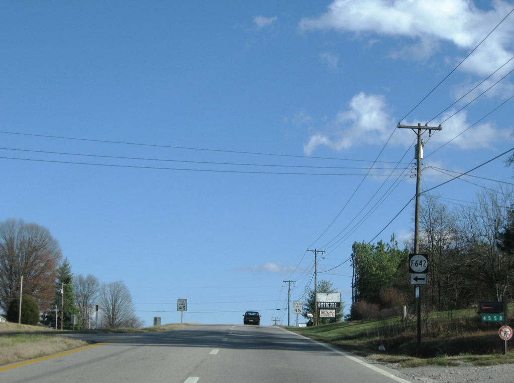
A short frontage road (SR F642 / Echo Lane) lines the westbound side of U.S. 58/360 ahead of SR 62 (Milton Highway).
12/21/08
SR 62 runs four miles southeast to the North Carolina state line near Milton. NC 62 continues the multi state highway to Thomasville.
12/21/08
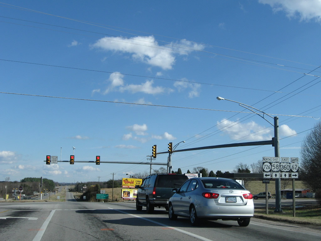
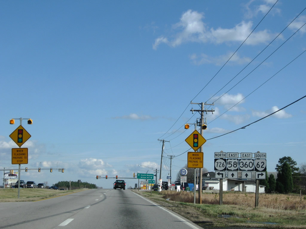
SR 726 (Ringgold Depot Road) ties into the SR 62 (Milton Highway) west end from the north. SR 726 arcs northwest to Ringgold, Kentucky and U.S. 29 along the Danville Expressway.
12/21/08
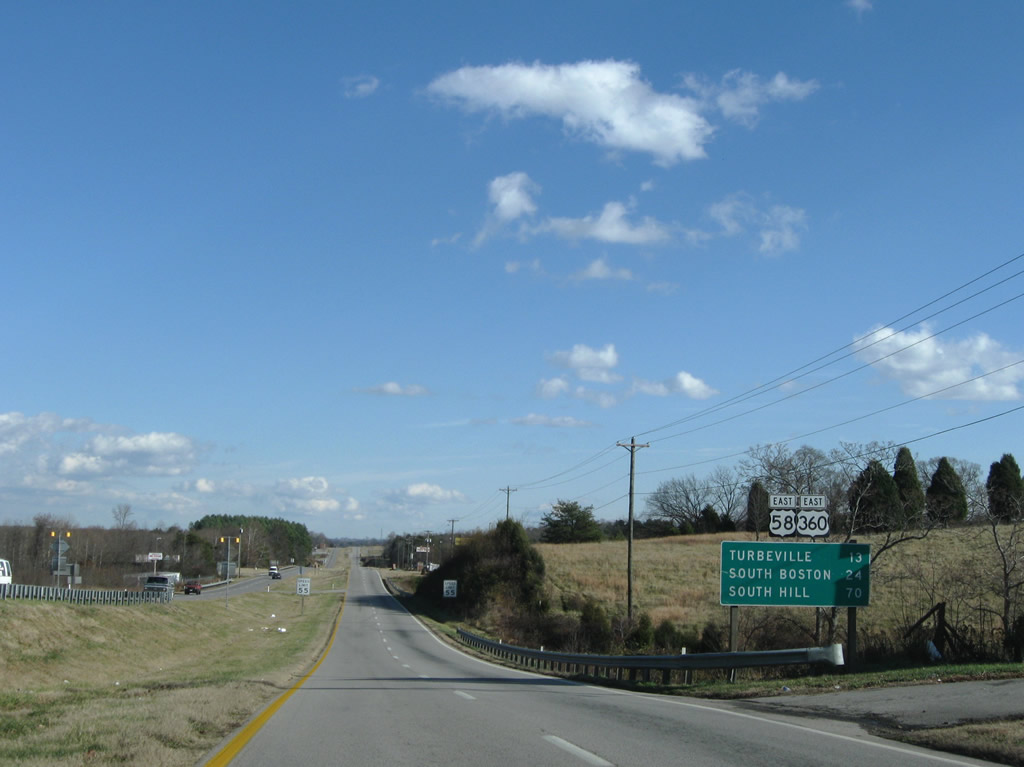
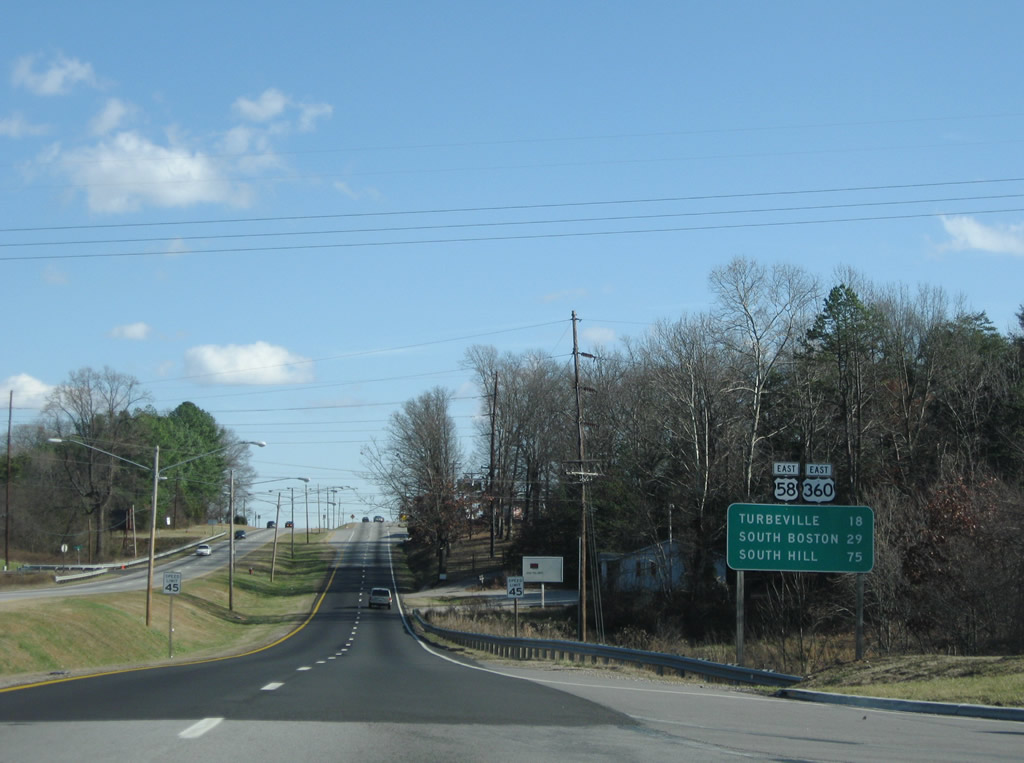
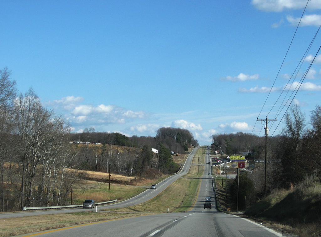
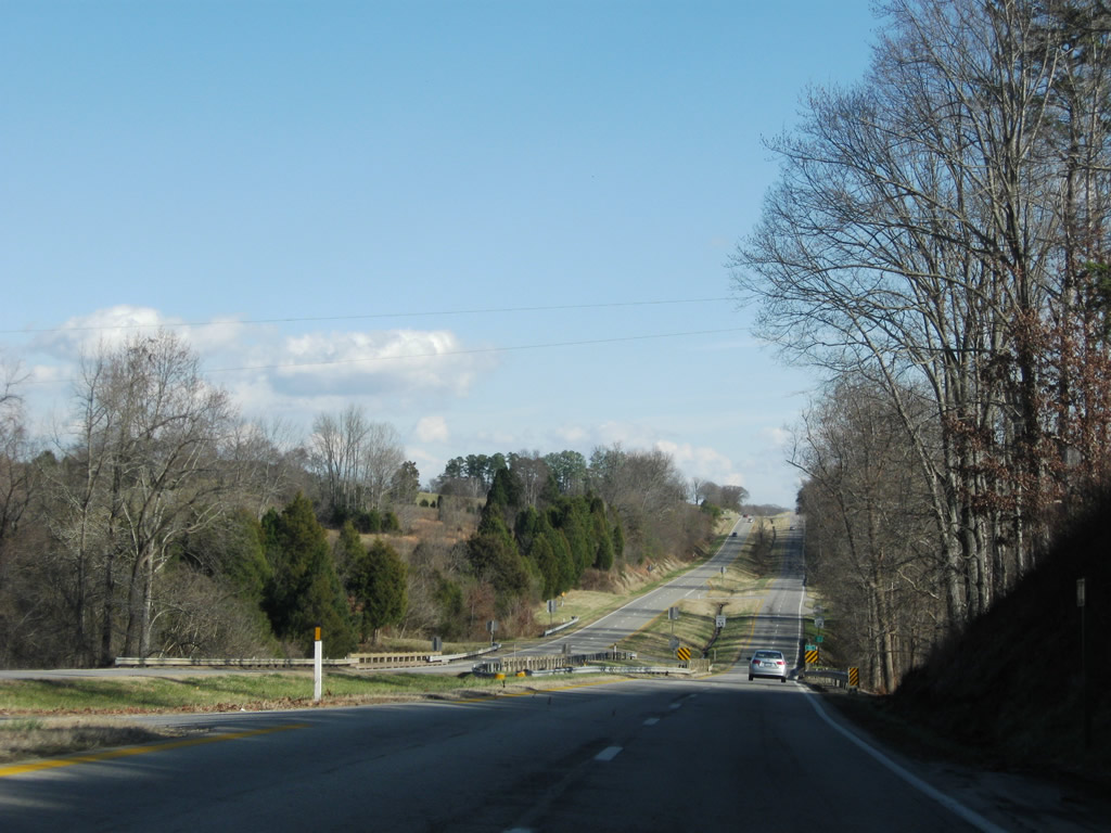
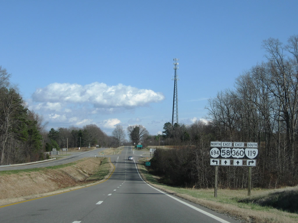
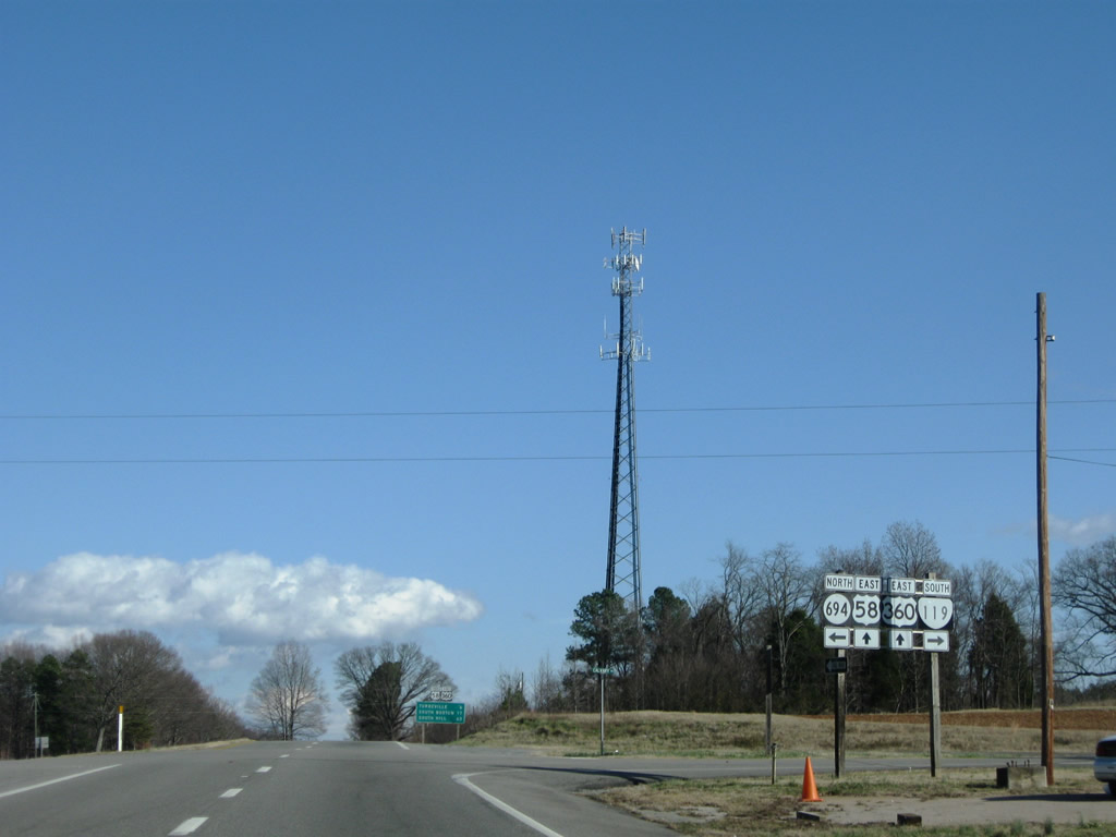
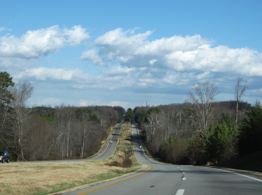
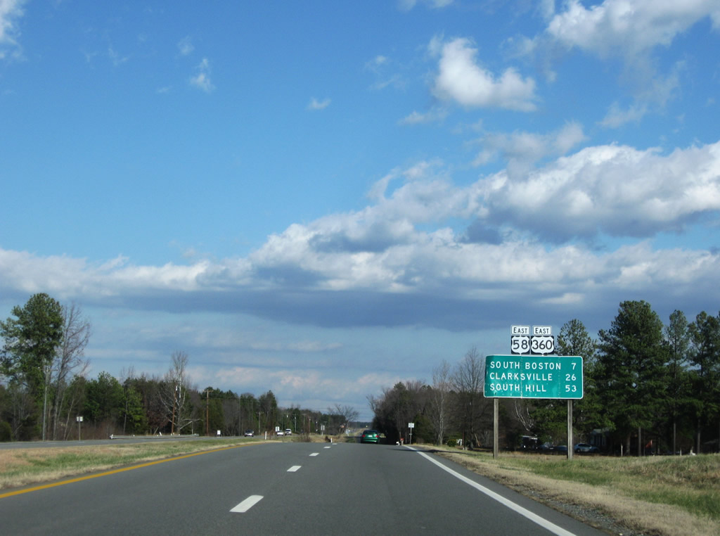
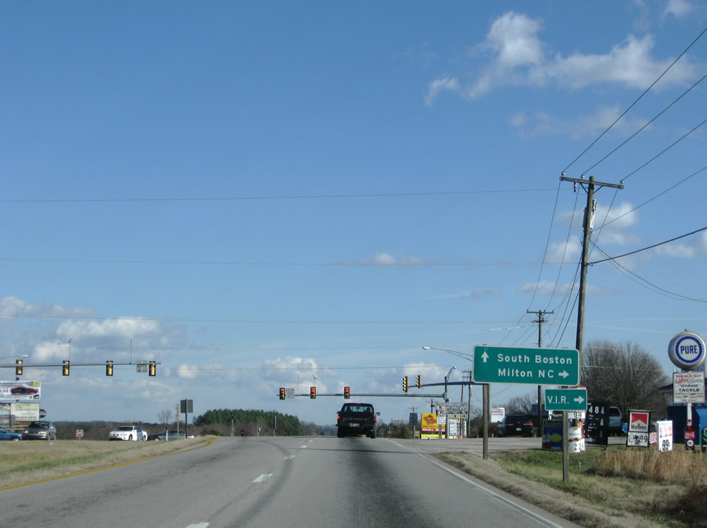
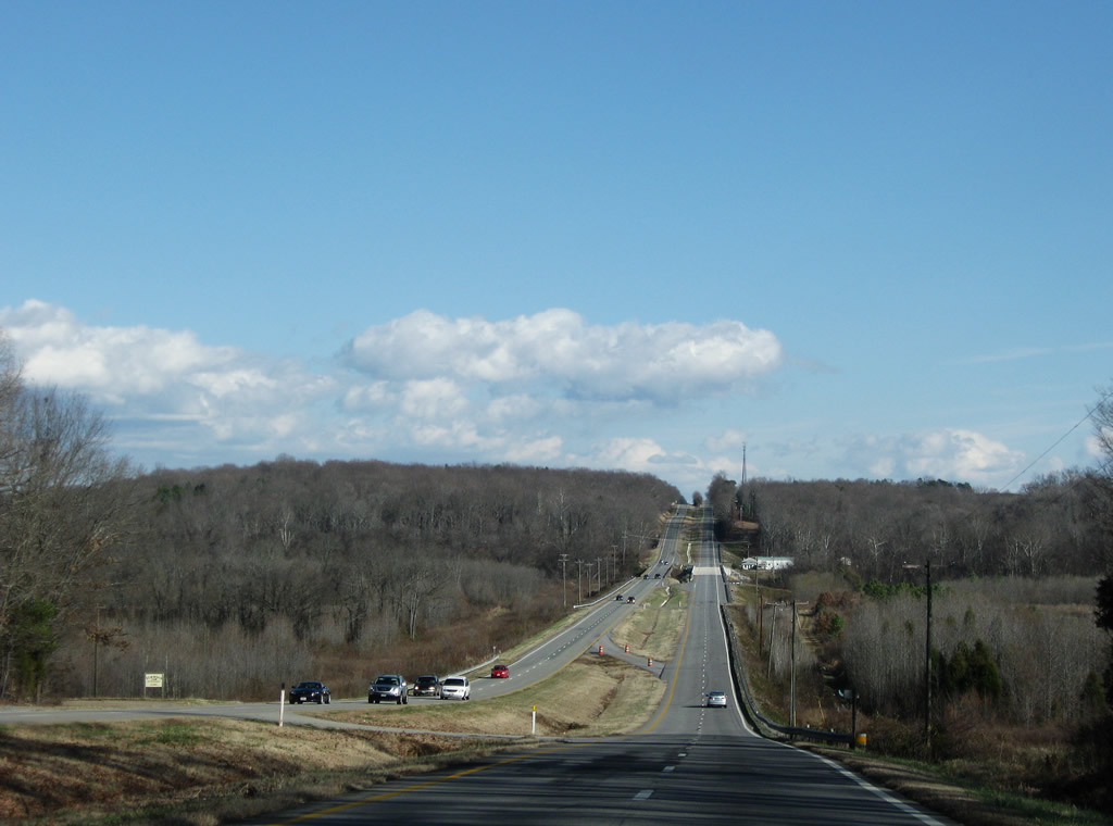
U.S. 58/360 (South Boston Highway) continues 13 miles east to Turbeville and 24 miles to their split at South Boston. South Hill is where U.S. 58 meets Interstate 85.
12/21/08
U.S. 58/360 eastbound lowers to cross Sandy Creek.
12/21/08
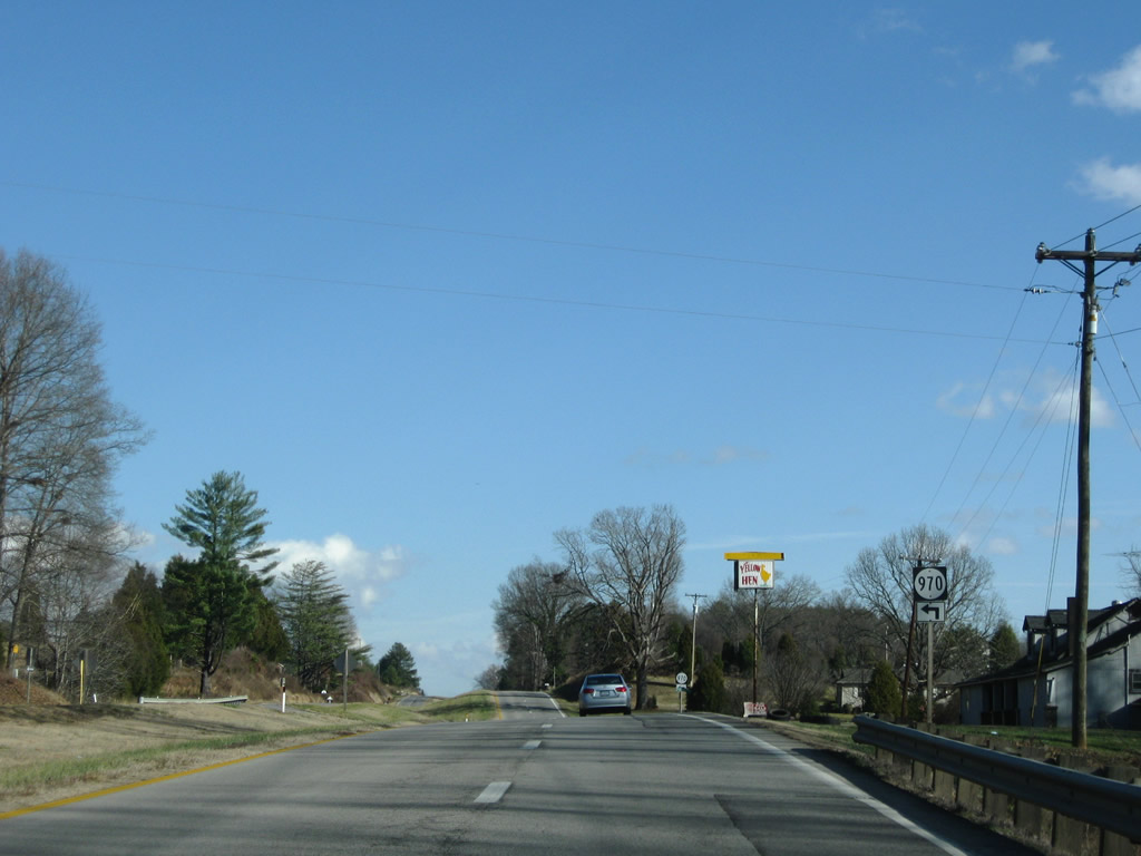
SR 970 follows Pounds Road north from South Boston Highway to Sandy Creek Church Road (SR 968) near SR 713 (Rocksprings Road).
12/21/08
U.S. 58/360 (South Boston Highway) sink to span Wolf Creek and enter Halifax County.
12/21/08
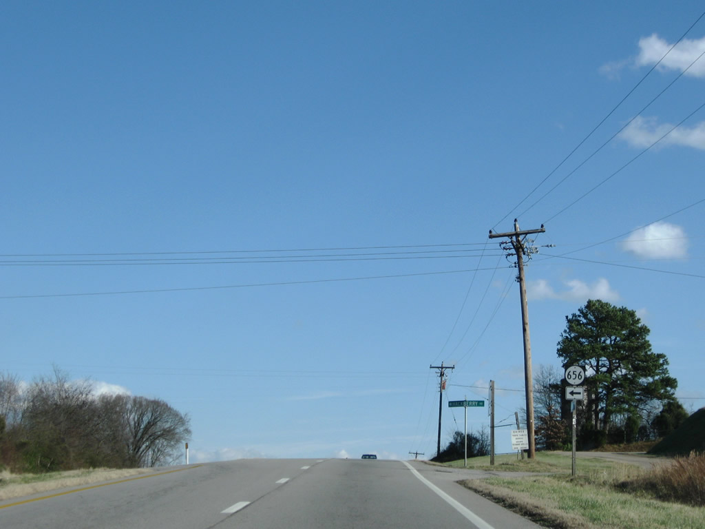
SR 656 (Hackberry Road) leads north from U.S. 58/360 (Philpott Road) to Sutherlin along the Pittsylvania County line.
12/21/08
U.S. 58/360 (Philpott Road) undulate over a series of hills east from SR 656 to the Dan River.
12/21/08
SR 119 (Calvery Road) and SR 694 (Medley Road) come together at U.S. 58/360 (Philpott Road) and the settlement of Delila. SR 119 extends 3.08 miles north from NC 119 north beyond Semora.
12/21/08
MSR 119 continues south to Swepsonville. SR 694 spurs northeast along Medley Road to a handful of residences.
12/21/08
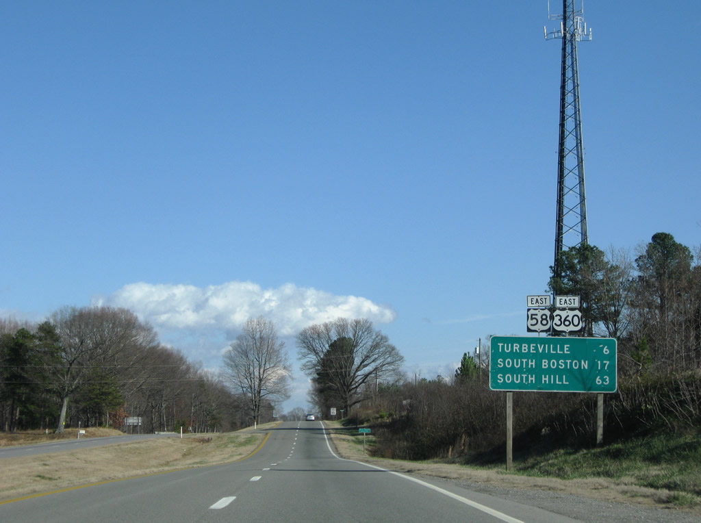
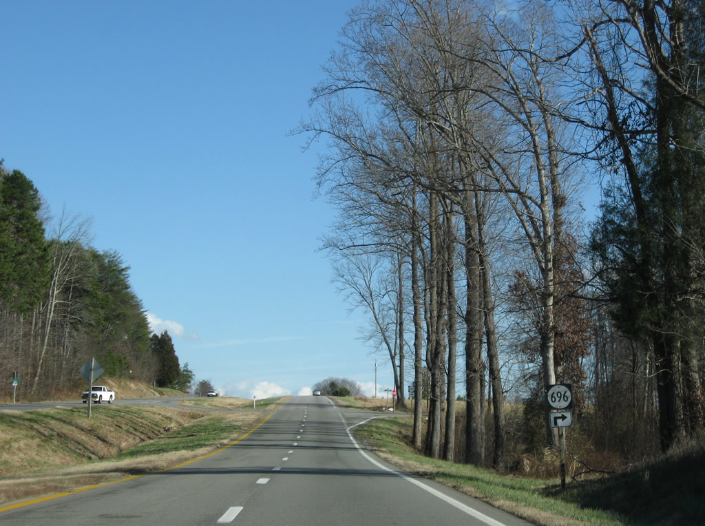
Reassurance shields and distance sign posted for U.S. 58/360 six miles west of Turbeville.
12/21/08
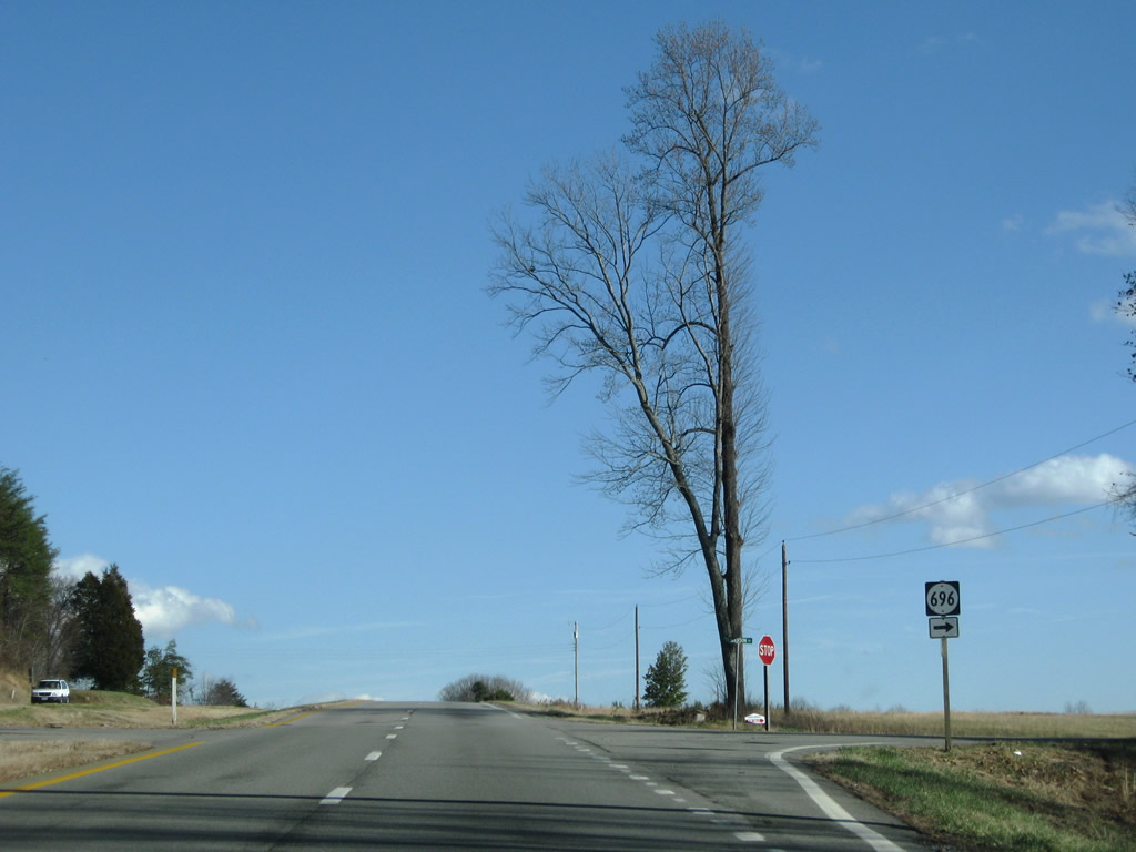
A forested stretch of Philpott Road continues U.S. 58/360 east to Brandon Creek and SR 696 (Henderson Road) south to North Carolina.
12/21/08

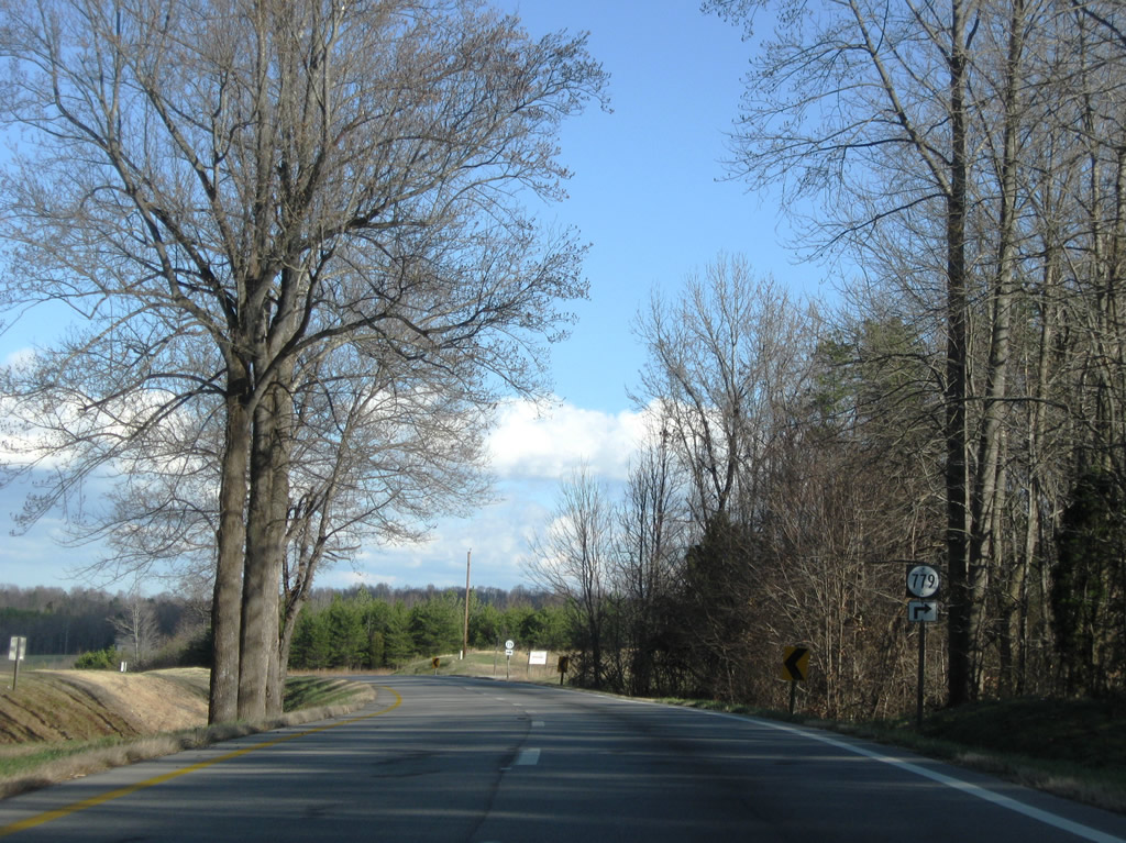
U.S. 58/360 lower to cross Winns Creek and ascend again to meet SR 779 (Hudson Drive) south to SR 697 (Coleman Drive).
12/21/08
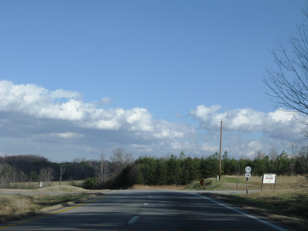
U.S. 58/360 (Philpott Road) bend northeast from SR 779 to SR 751 (Piney Grove Road). SR 779 ventures southeast to SR 699 and west to an isolated area bound by the Dan River and Winns Creek.
12/21/08
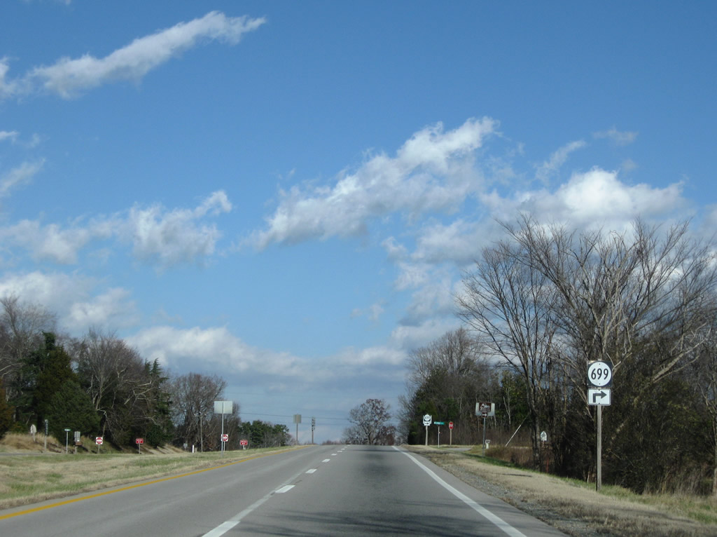
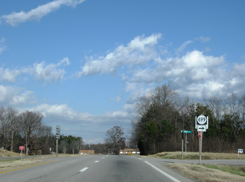
Continuing northeast along U.S. 58/360, travelers pass over Powells Creek before rising again to meet SR 699 (Wilkins Road). SR 699 heads southwest to Cunningham, North Carolina.
12/21/08
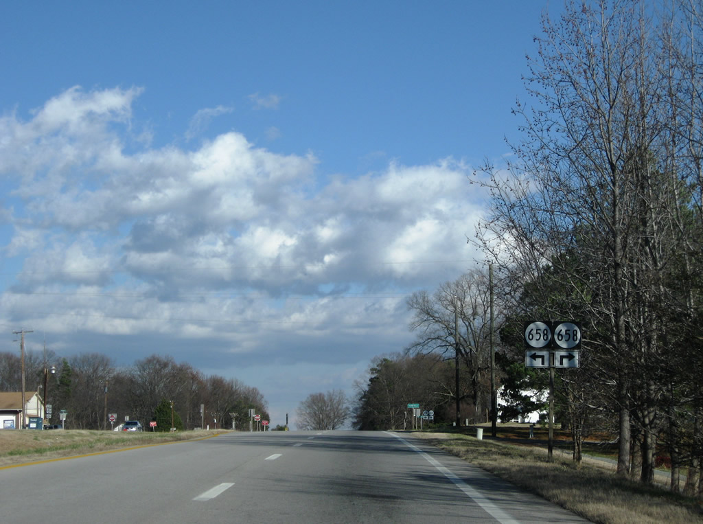
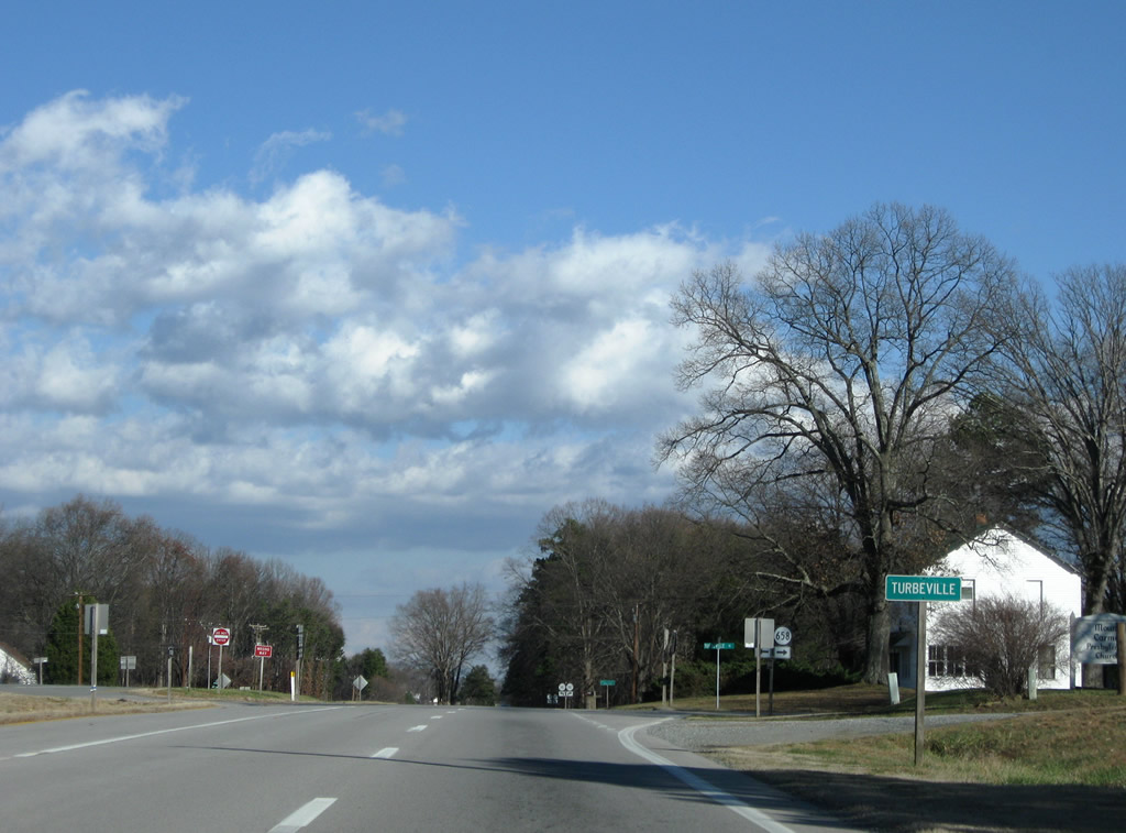
Turbeville and SR 658 (Melon Road north / Turbeville Road south) follow. SR 658 meanders eastward from U.S. 58/360 to Cluster Springs (U.S. 501). and northwest to Paces near the Dan River.
12/21/08
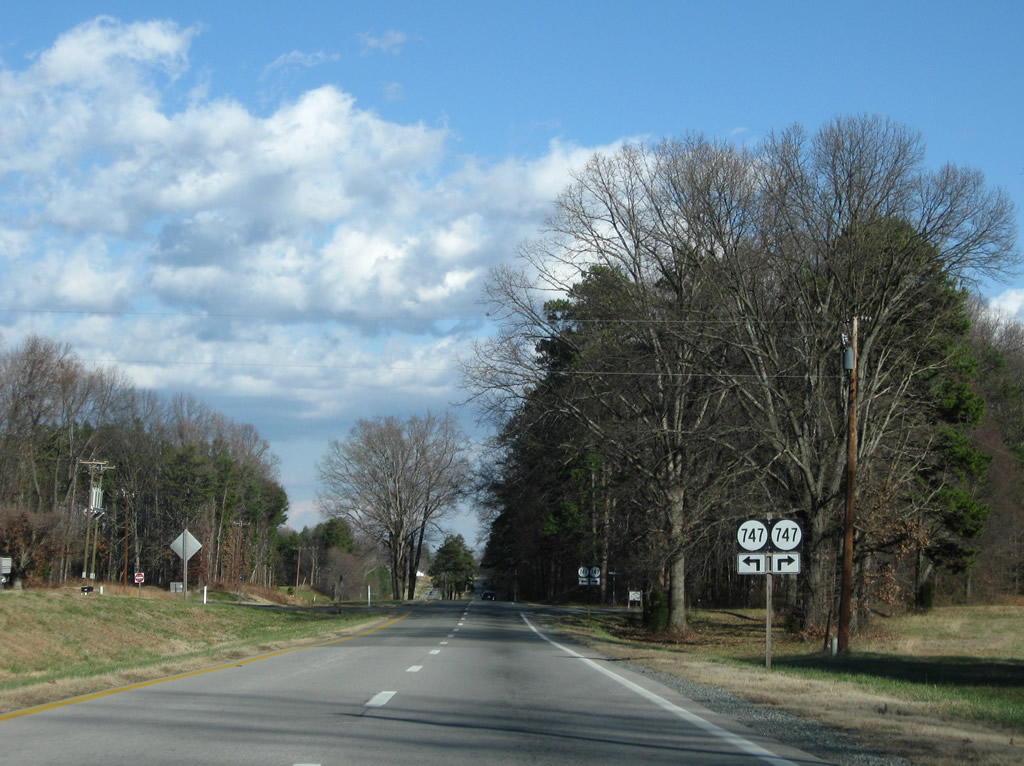
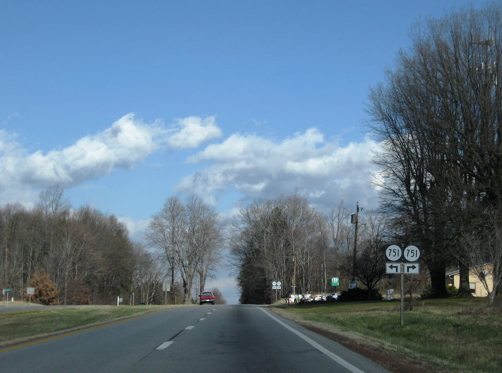
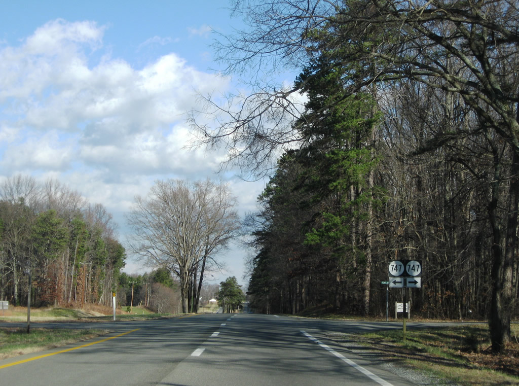
SR 747 follows an "L" shaped route across U.S. 58/360 at Turbeville. Flint Rock Road carries the road east parallel to Philpott Road thorugh to Danripple. Solomon Road continues the highway north to a dead end.
12/21/08
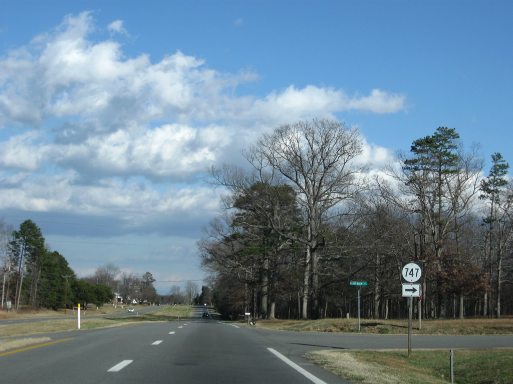
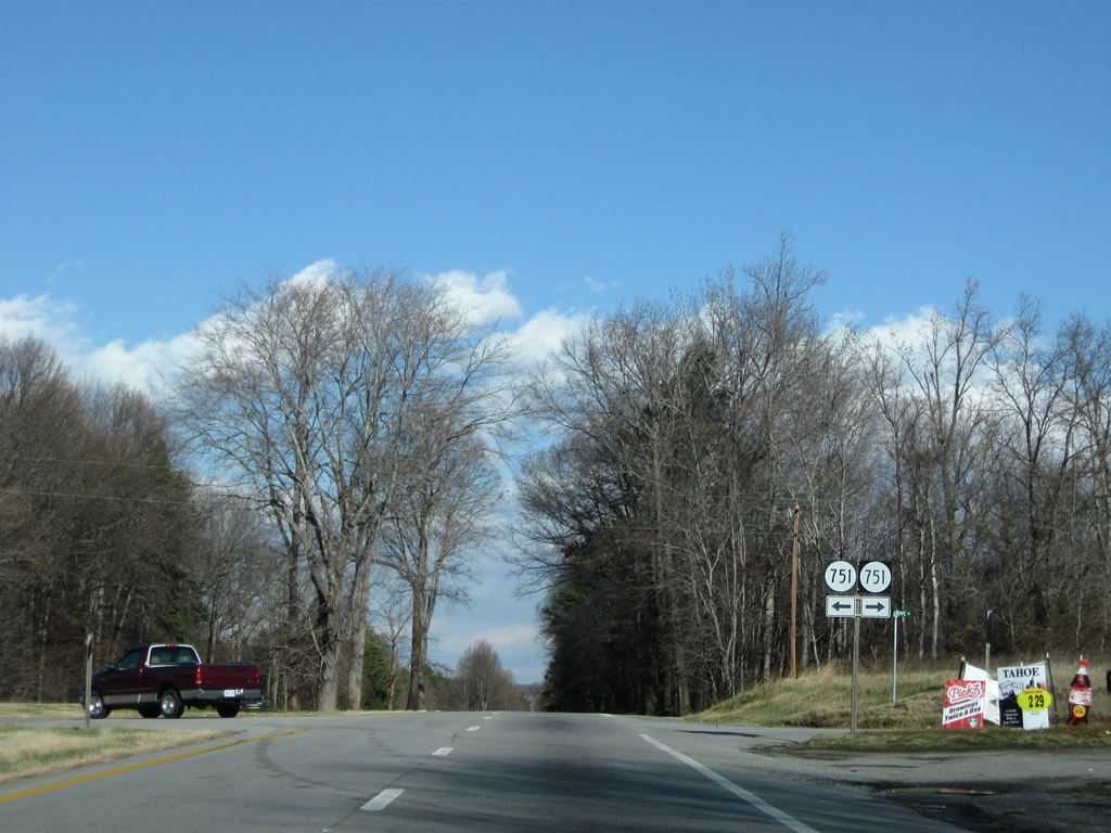
Flint Rock Road (SR 747) ties into U.S. 58/360 east at Danripple.
12/21/08
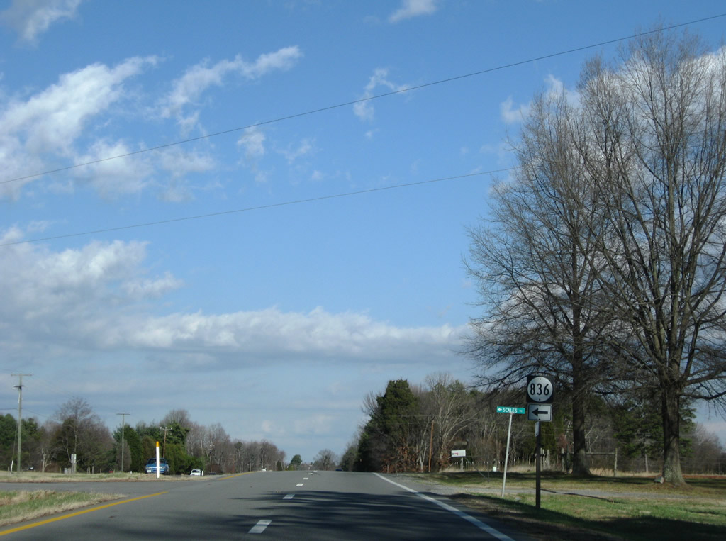
SR 836 spurs northward along Scale Road from U.S. 58/360 (Philpott Road) next.
12/21/08
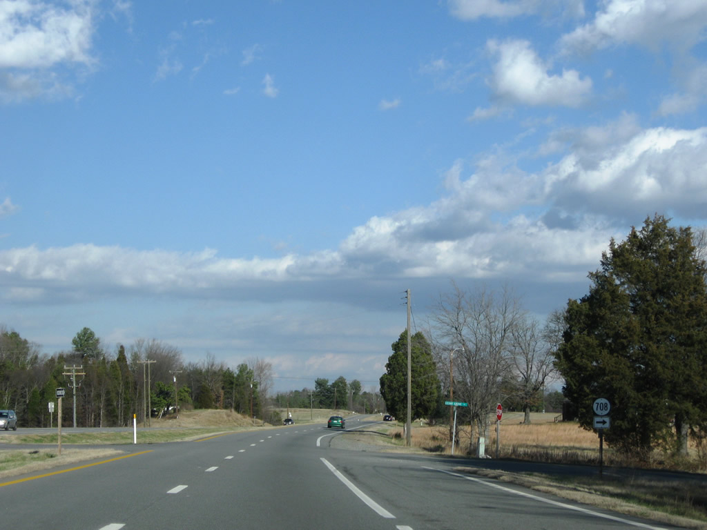
SR 708 (Cedar Grove Road) leads north from SR 658 and Cedar Grove to U.S. 58/360.
12/21/08
U.S. 58/360 straighten out after SR 708 on the seven mile approach to South Boston.
12/21/08
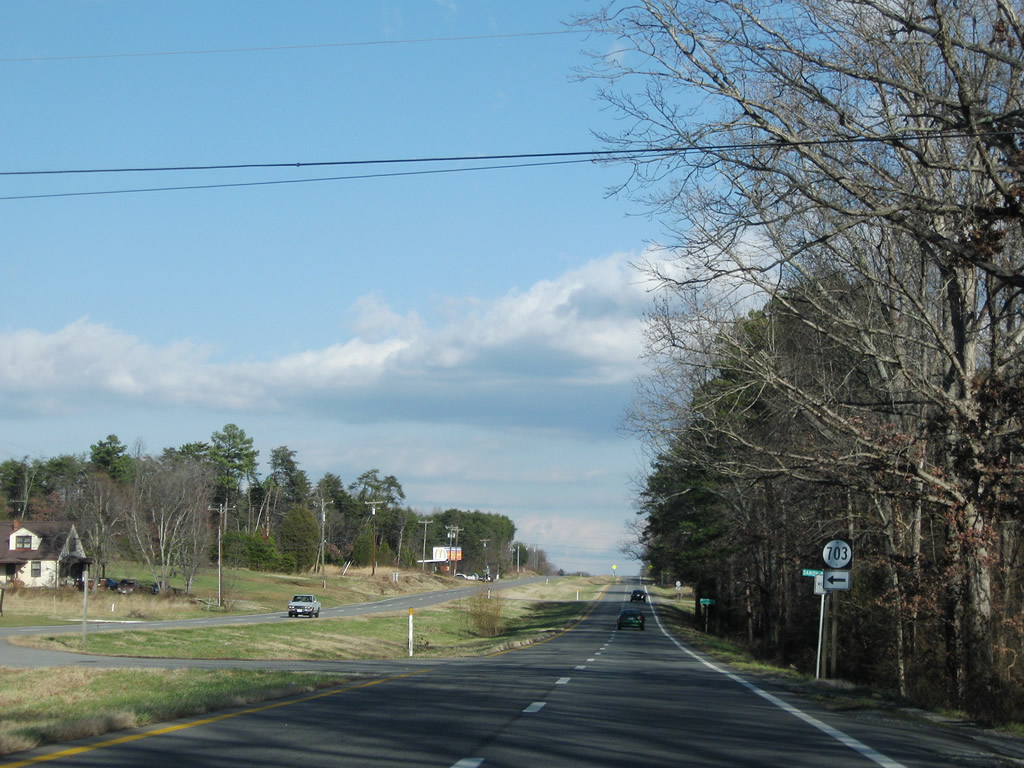
SR 703 (Sandy Beach Road) may represent an older alignment of U.S. 58 as it parallels the four lane divided highway ahead of South Boston.
12/21/08
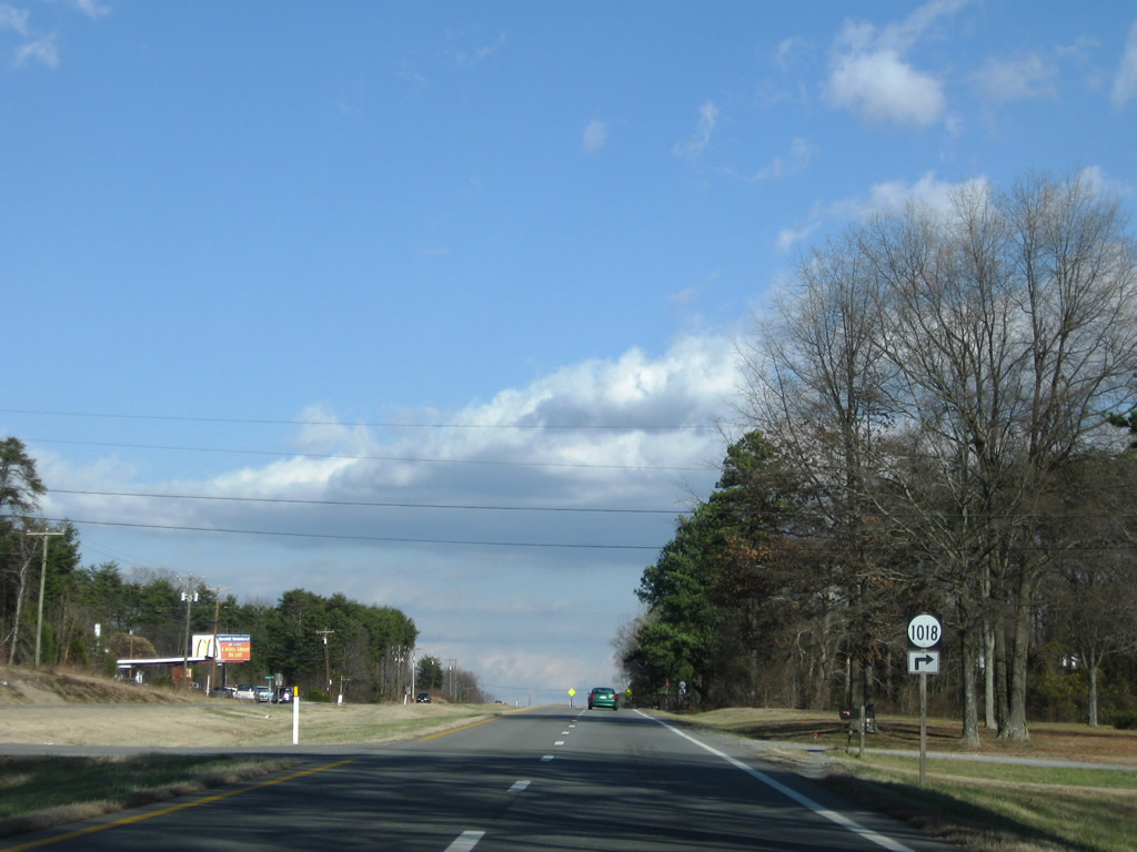
SR 1018 constitutes the short residential street of Humps Trail from U.S. 58/360 southward.
12/21/08
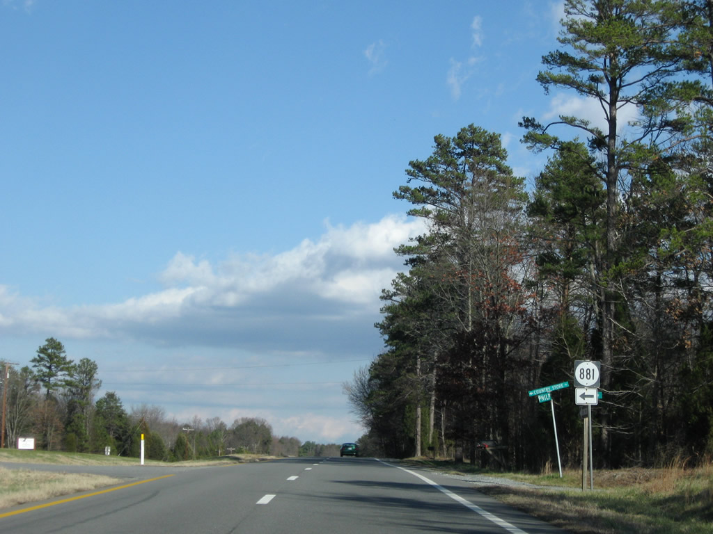
U.S. 58/360 (Philpott Road) continue east to Country Store Road (SR 881), a connector to SR 703 (Sandy Beach Road).
12/21/08
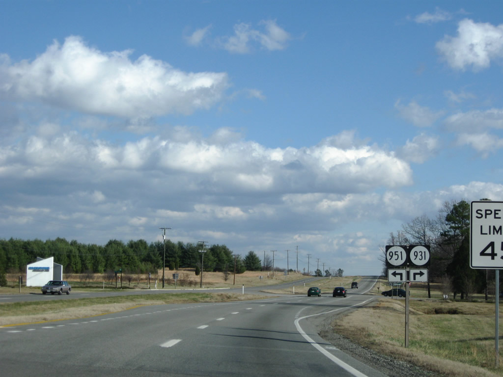
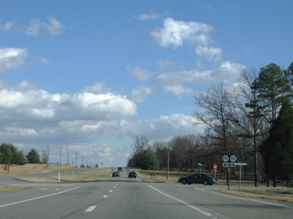
Entering the industrial west side of South Boston, U.S. 58/360 meet SR 951 (Confroy Drive) north to SR 703 west and SR 931 (Industrial Park Avenue) south.
12/21/08
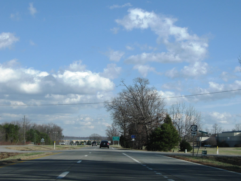
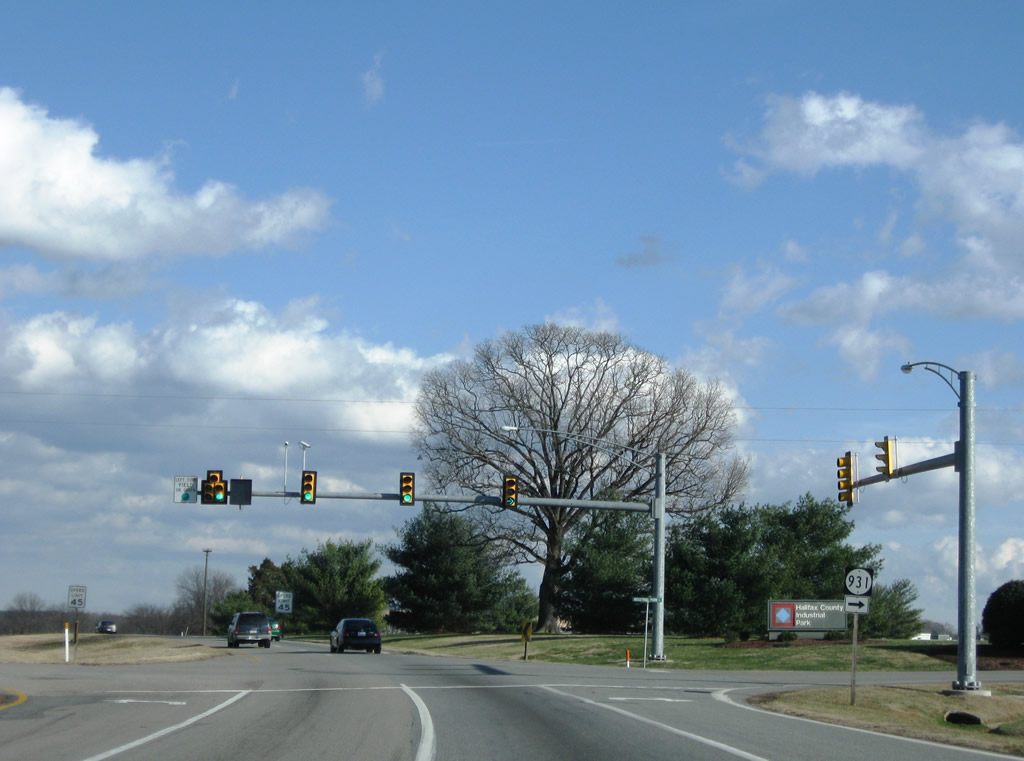
SR 939 provides additional industrial park access via Fulp Industrial Road south from U.S. 58/360 to SR 931.
12/21/08

SR 931 loops back to U.S. 58/360 (Philpott Road) via Industrial Park Road opposite Commerce Lane.
12/21/08
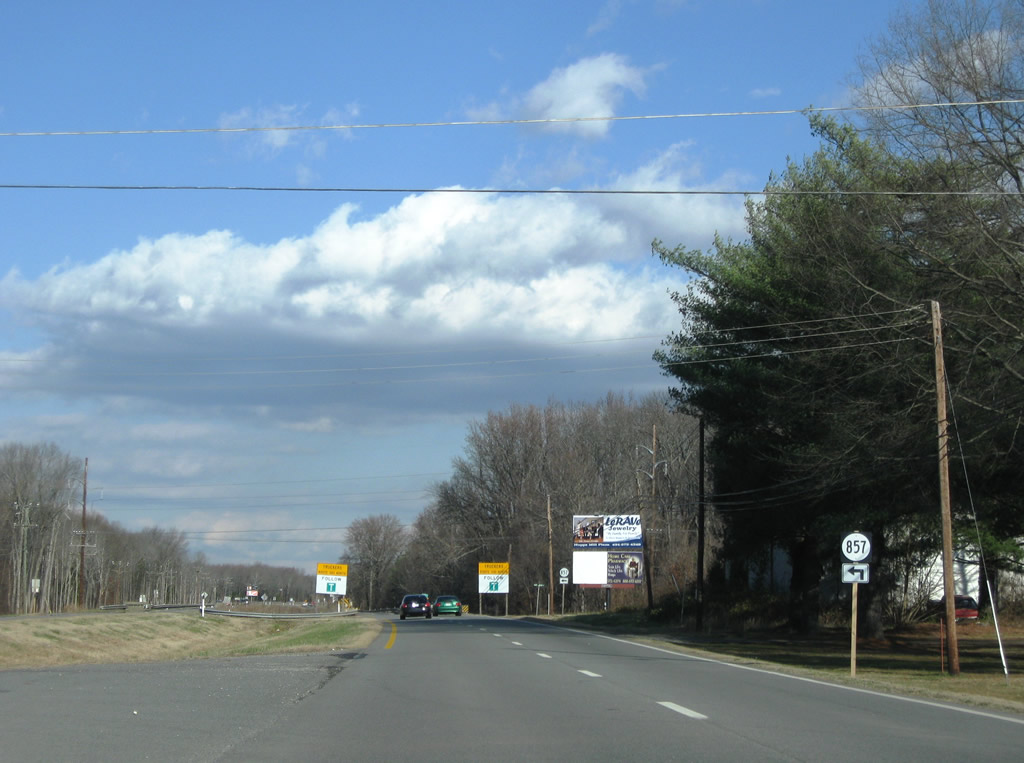
SR 857 comprises a residential loop along Maplewood Drive north of U.S. 58/360.
12/21/08
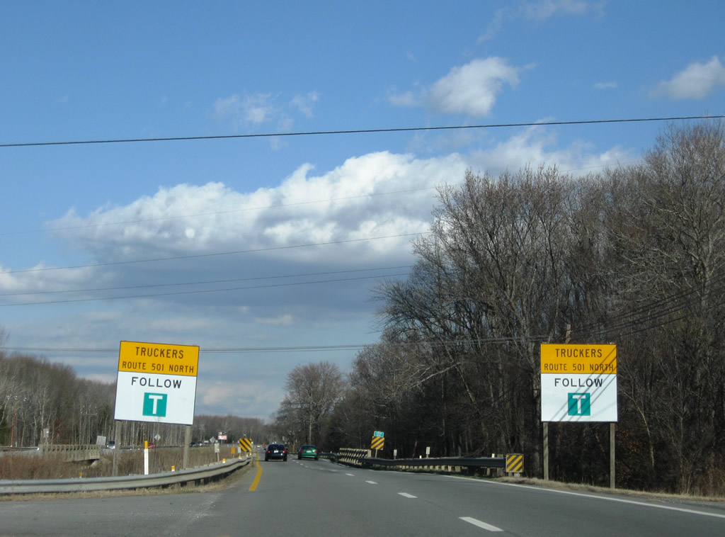
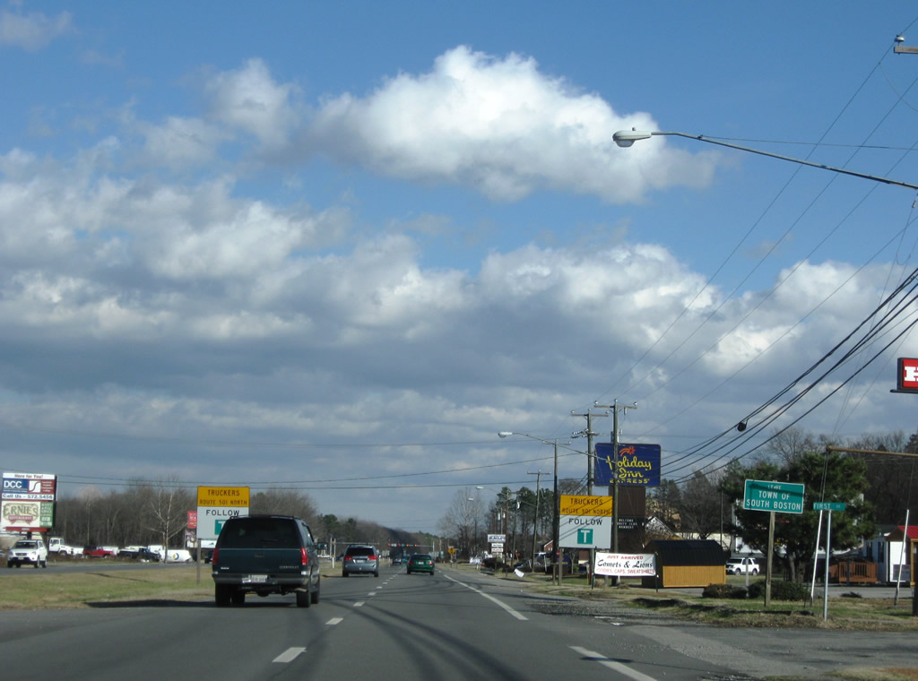
Truckers bound for U.S. 501 north to Brookneal and Lynchburg are advised to follow U.S. 360 east to bypass downtown South Boston.
12/21/08
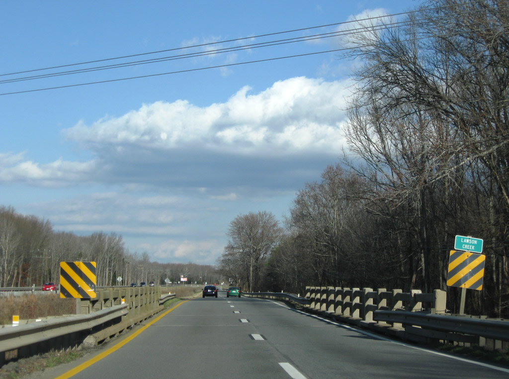
Spanning Lawson Creek along U.S. 58/360 (Philpott Road) in South Boston.
12/21/08
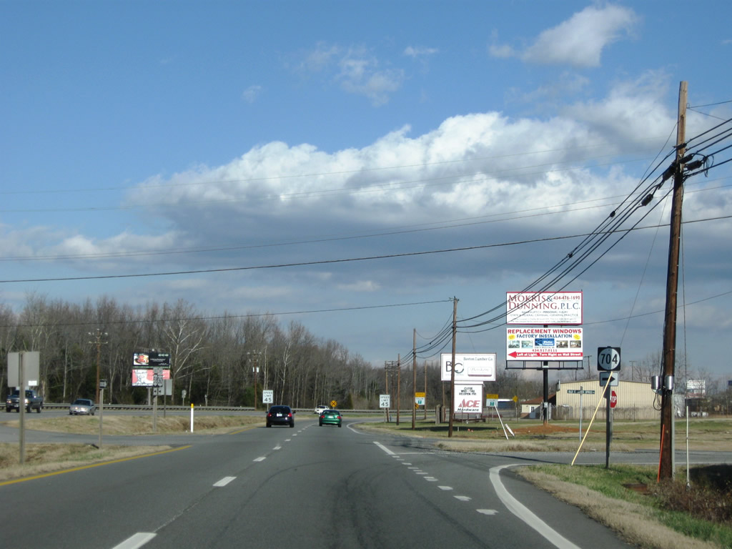
Old Cluster Springs Road carries the designation of SR 704 south to Cluster Springs. This may be an old alignment of U.S. 501.
12/21/08
Riverdale Road (SR 744) ties into U.S. 58/360 (Philpott Highway) ahead of U.S. 501 (Huell Mathews Highway / Main Street).
12/21/08
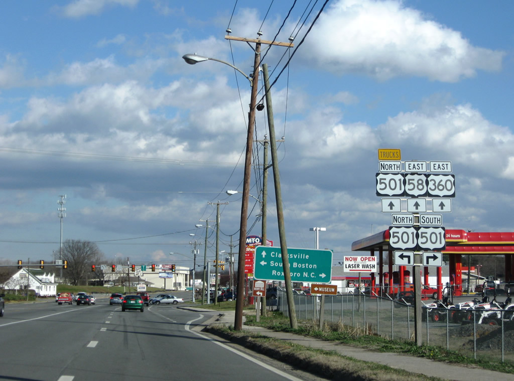
U.S. 501 enters South Boston by way of Cluster Springs and Longhurst, North Carolina. U.S. 501 continues north from Riverdale and U.S. 58/360 to a one way couplet through Downtown South Boston along Broad Street north and Wilborn Avenue / Main Street south.
12/21/08
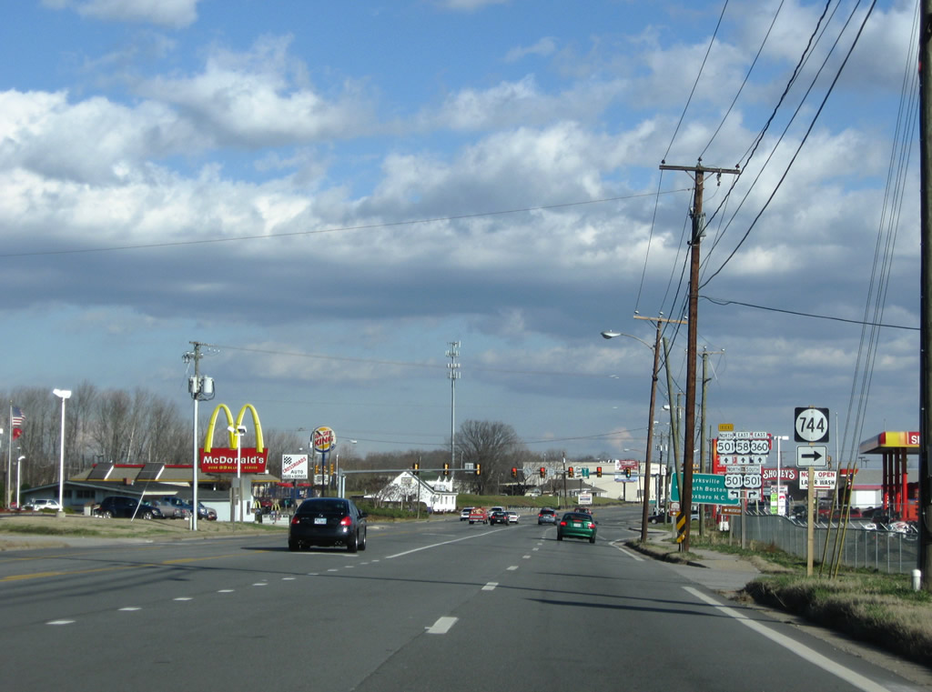
U.S. 58/360 briefly enter the corporate limits of South Boston at U.S. 501. U.S. 501 continues north from South Boston to the county seat of Halifax, Lynchburg and ultimately Buena Vista.
12/21/08
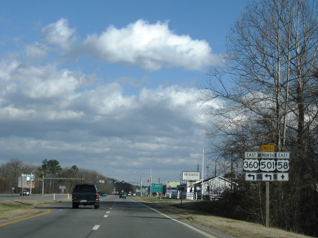
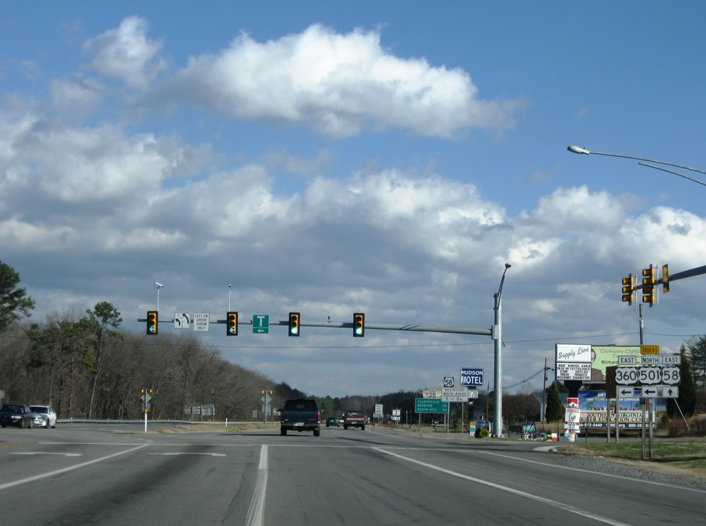
U.S. 58/360 (Bill Tuck Highway) part ways, with U.S. 360 east and the truck route for U.S. 501 heading north along James D. Hagood Highway to the Randolph Bridge and South Boston. U.S. 58 continues east to Clarksville and Boydton.
12/21/08
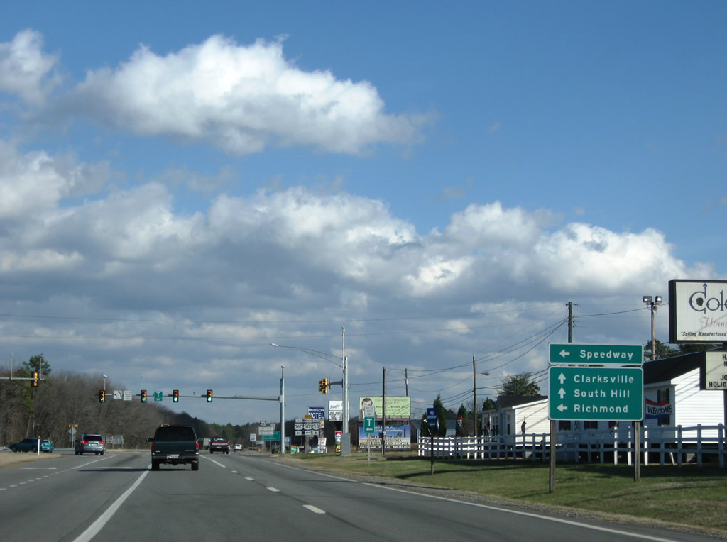
U.S. 360 (James D. Hagood Highway) turns east from South Boston to the South Boston Speedway en route to Keysville and Burkeville. U.S. 501 Truck follows Hamilton Boulevard along the north side of town to U.S. 501 at Wilborn Avenue.
12/21/08
U.S. 58 continues 19 miles to Clarksville and 46 miles to South Boston. U.S. 360 angles northeast 108 miles to Richmond.
12/21/08
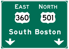

Photo Credits:
- ABRoads: 12/21/08
Connect with:
Page Updated Wednesday April 21, 2021.