
U.S. 360 East - South Boston to U.S. 15

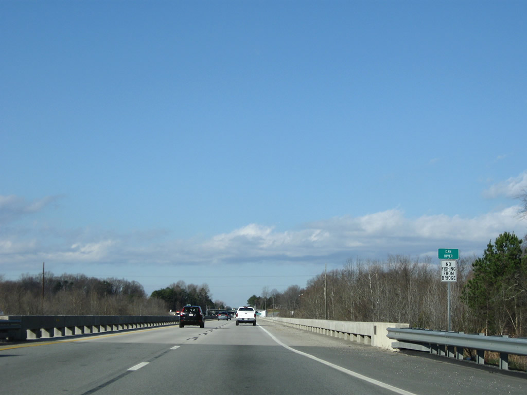
U.S. 360 east / U.S. 501 Truck north cross the Dan River just north of their split with U.S. 58 (Bill Tuck Highway).
12/21/08
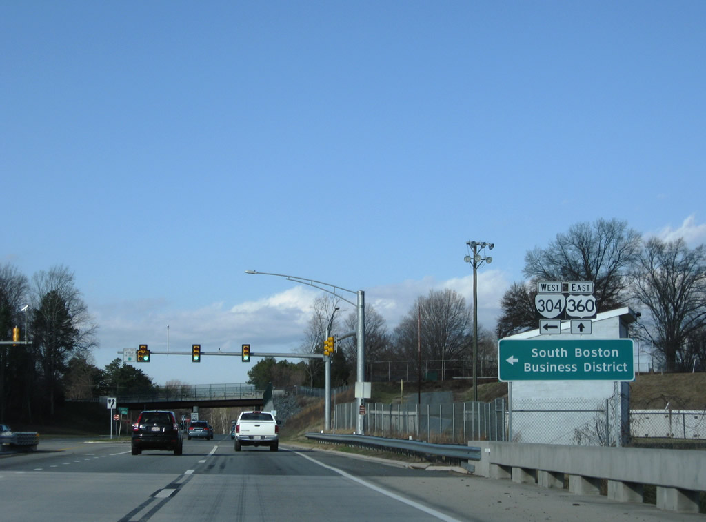
Paralleling a Norfolk Southern Railroad line, SR 304 (Seymour Drive) stems 0.71 miles west from U.S. 360 to U.S. 501 in Downtown South Boston.
12/21/08
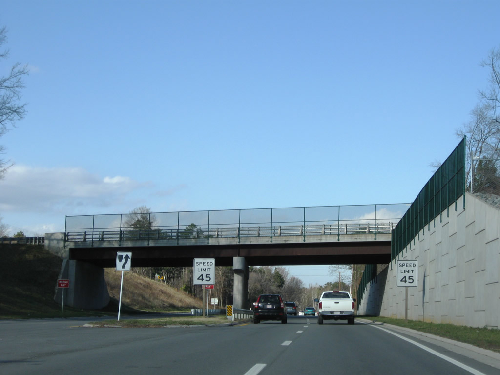
Vaughn Street passes over U.S. 360/501 Truck (James H. Hagood Highway) north of SR 304.
12/21/08
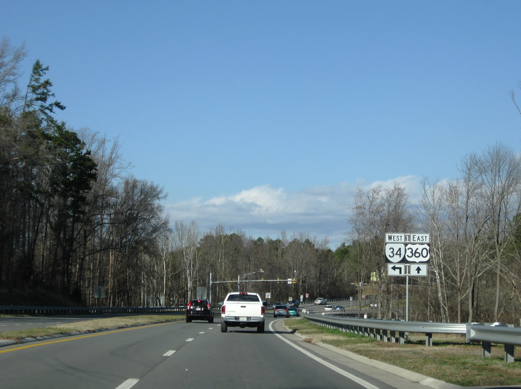
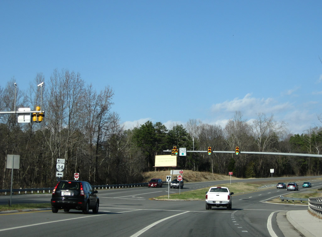
SR 34 lines Hodges Street west 0.54 miles from U.S. 360/501 Truck to SR 129 (Main Street) in South Boston.
12/21/08
Eastover Driver ties into the east end of SR 34 (Hodges Street). SR 129 (Main Street) comprises a 3.18 mile loop east from U.S. 501 in Downtown South Boston to U.S. 501 (Halifax Road) at Centerville.
12/21/08
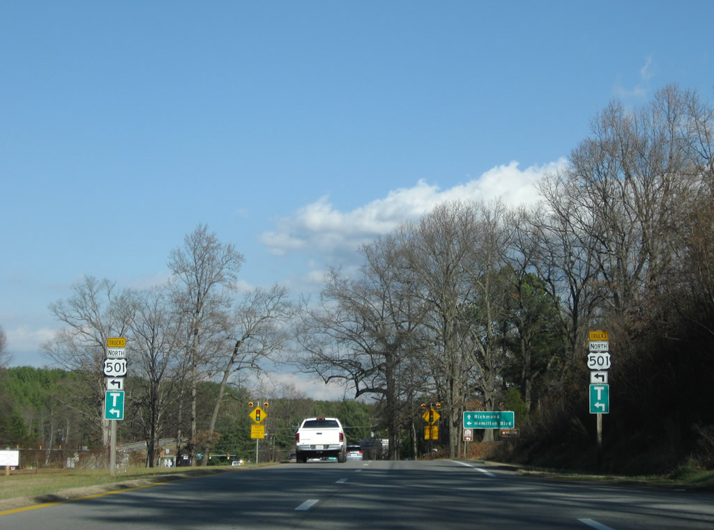
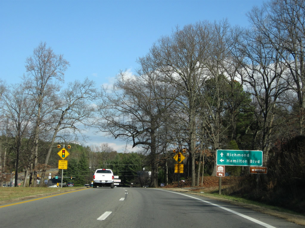
U.S. 501 Truck departs from U.S. 360 east for Hamilton Boulevard west.
12/21/08
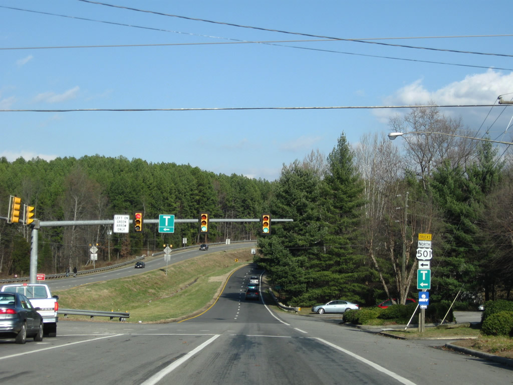
U.S. 501 Truck (Hamilton Boulevard) meanders 1.96 miles west to SR 129 (Main Street) and U.S. 501 (Halifax Road north / Wilborn Avenue south) at Sentara Halifax Regional Hospital.
12/21/08
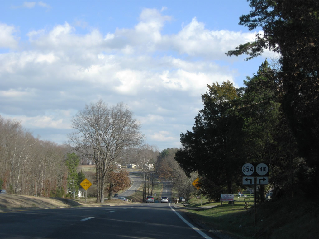
U.S. 360 exits South Boston and crosses Rocky Branch to SR 854 (Cage Trail). SR 854 travels north and south from U.S. 360, but does not cross the four lane divided highway directly.
12/21/08
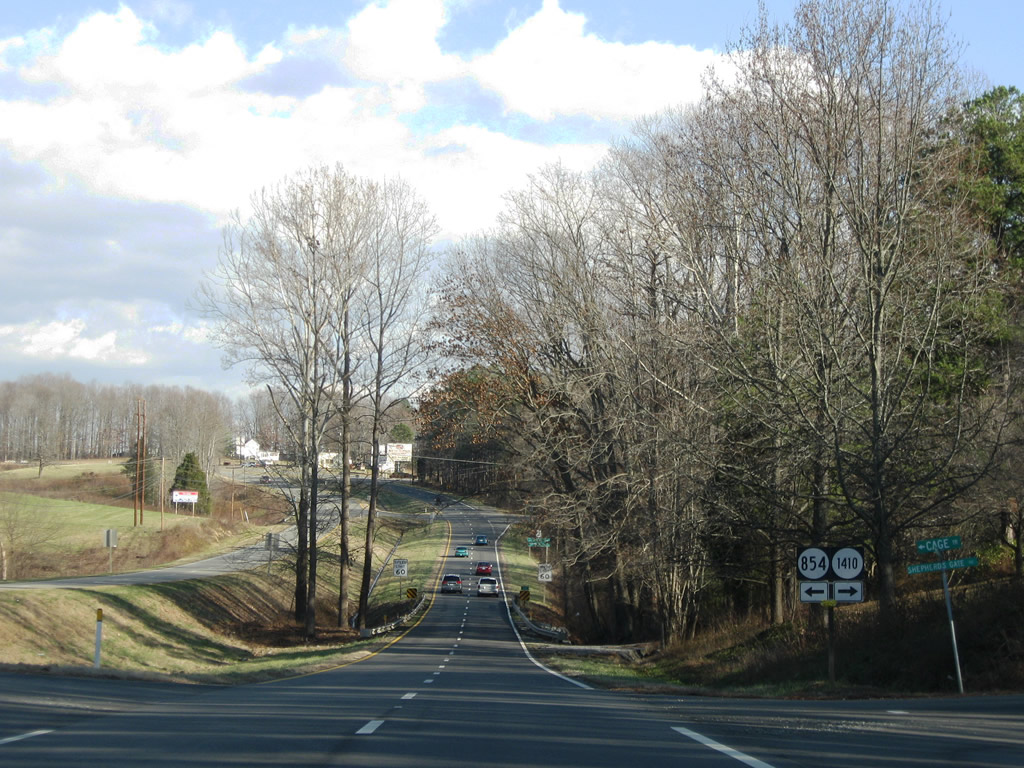
SR 1410 (Shepherds Gate Road) connects with the SR 854 south to a residential area. SR 854 north meanwhile heasd to SR 716 (Dan River Church Road) east of Loves Shop.
12/21/08
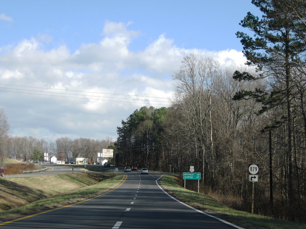
SR 879 follows along Plywood Trail south to Eastover Drive.
12/21/08

U.S. 360 eastbound reassurance shield and distance sign posted 34 miles southwest of Keysville.
12/21/08
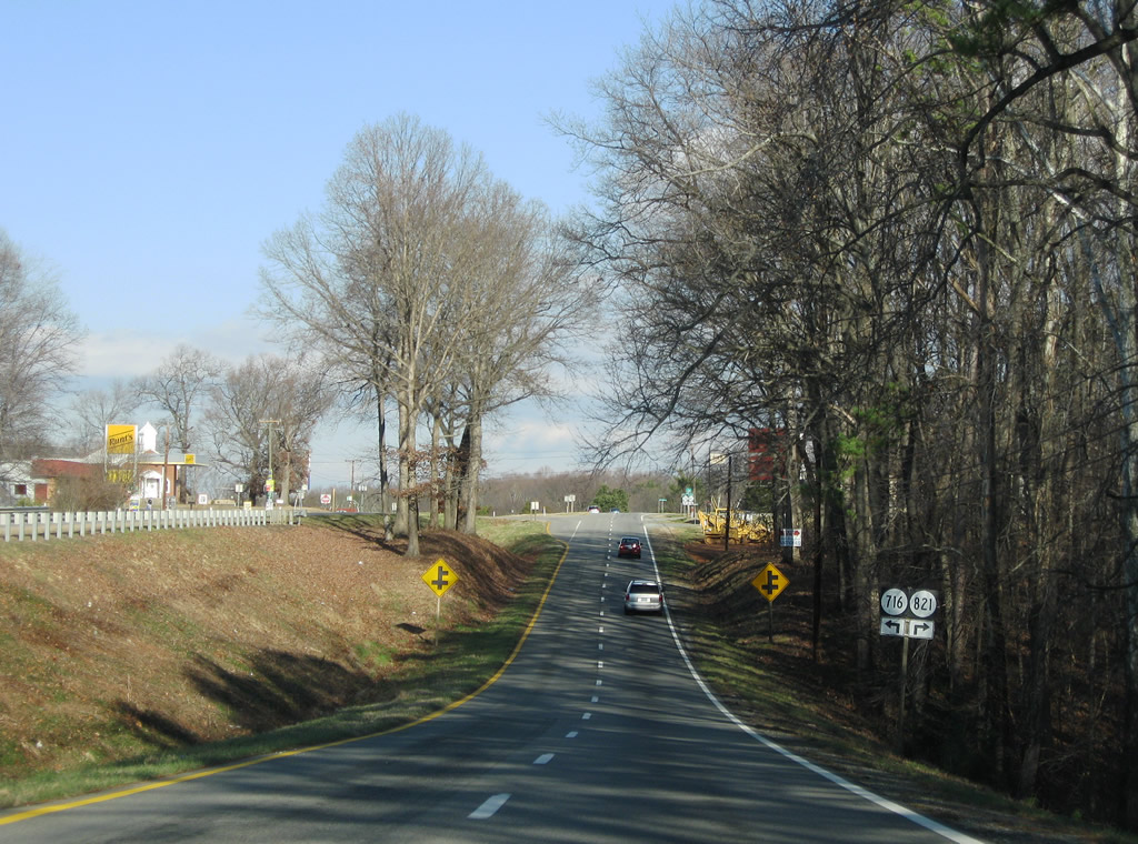
SR 821 (Shady Lane) and SR 716 (Dan River Church Road) come together at Five Forks and U.S. 301.
12/21/08
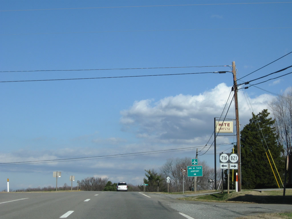
SR 716 (Wolf Trap Road) also ties in to Five Forks from William M. Tuck Airport and Wolf Trap to the east.
12/21/08

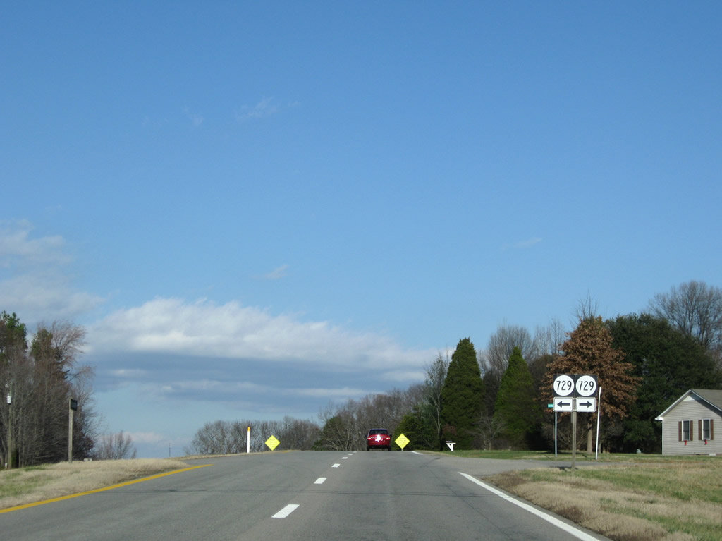
Continuing northeast from Five Forks along U.S. 360 to the crossing of Wolf Trap Creek and SR 729 (Bellevue Road west / Daniels Trail east).
12/21/08
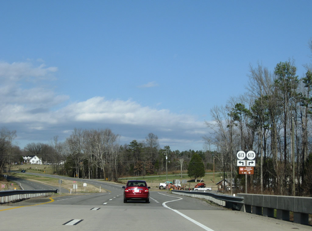
U.S. 360 crosses the Banister River and meets SR 613 (Terrys Bridge Road). SR 613 ventures east to Scottsburg and north to SR 360 west of Piney Grove.
12/21/08
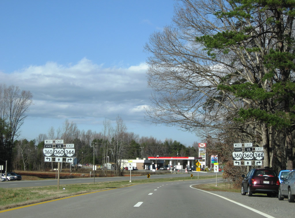
SR 360 (Bethel Road) continues east from Piney Grove to end at U.S. 360 (James D. Hagood Highway) opposite SR 344 (Scottsburg Road).
12/21/08
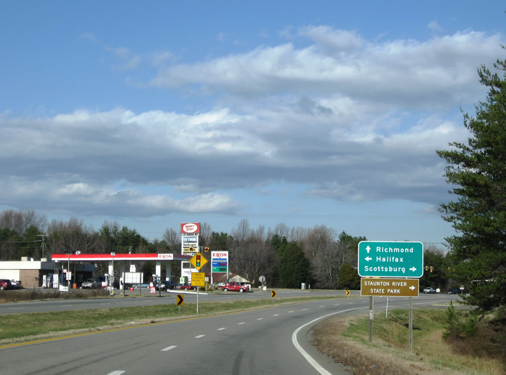
SR 344 constitutes a 12.28 mile route from U.S. 360 & SR 360 southeast to Scottsburg and Staunton River State Park. SR 360 follows the original U.S. 360 alignment west to Halifax.
12/21/08
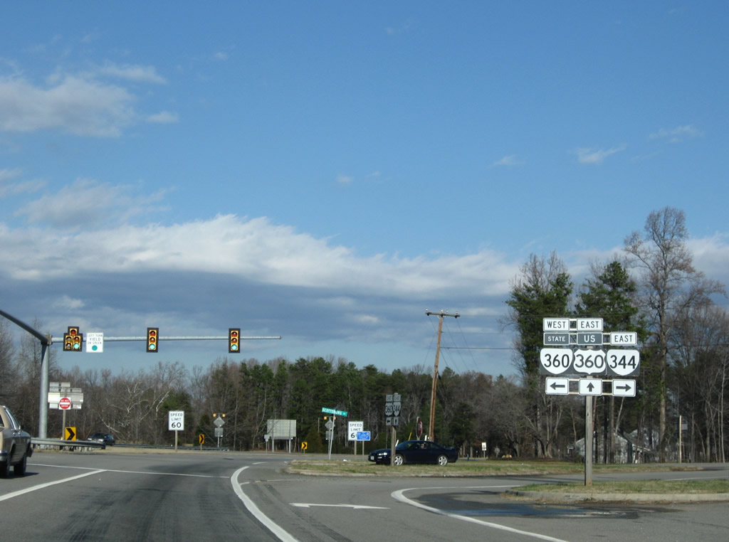
U.S. 360 east at the ends of SR 344 and 360. SR 360 travels 41 miles west to Danville, ending at U.S. 360 & U.S. 58 Business. The state route was U.S. 360 until 1984.
12/21/08
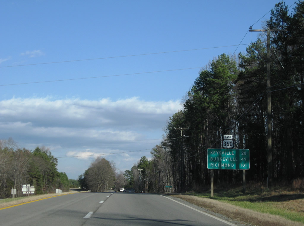
Distance sign and reassurance shield posted for U.S. 360 eastbound drivers after SR 344 and 360. Keysville, the split of U.S. 15 north from U.S. 360 east, lies 28 miles away.
12/21/08
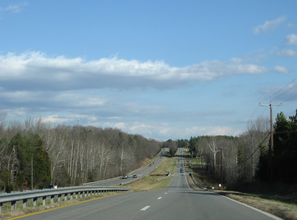
This stretch of U.S. 360 lies ahead of Midway at the crossing over Difficult Creek.
12/21/08
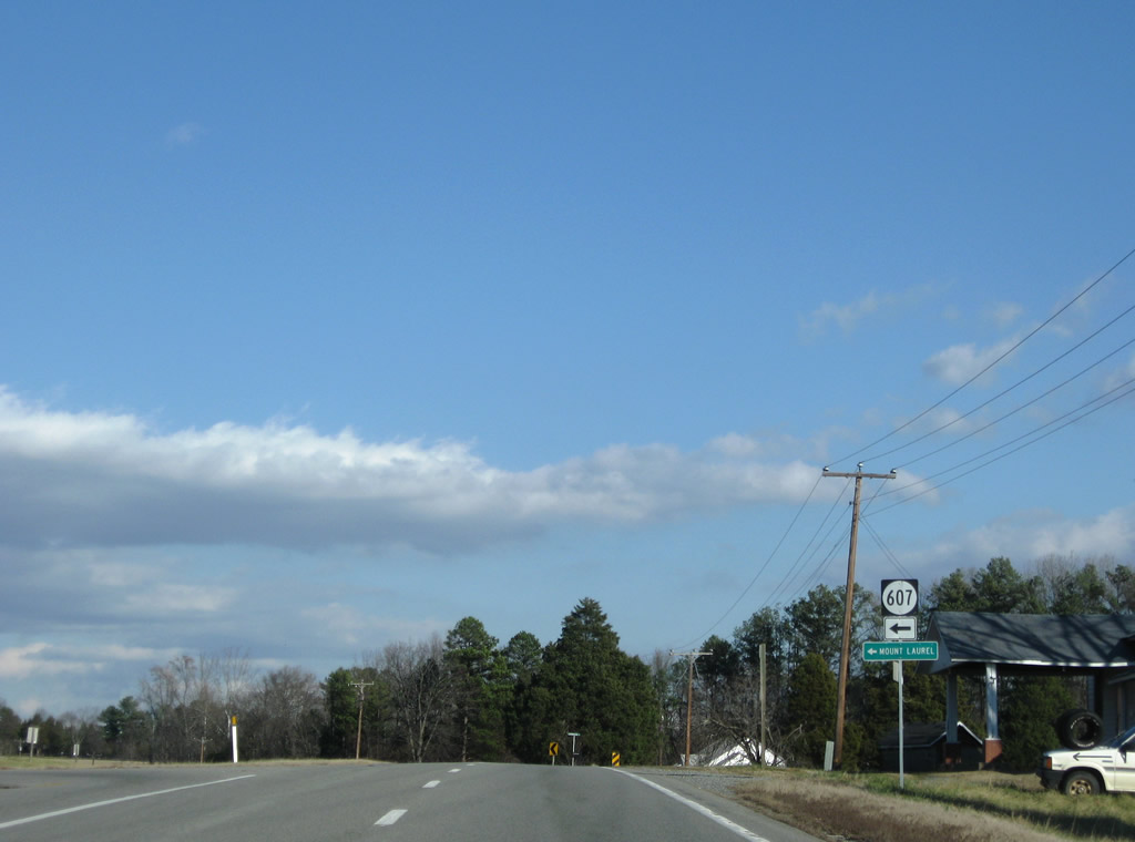
SR 607 (Rodgers Chapel Road) leads north from U.S. 360 at Midway to Rodgers Chapel and Mount Laurel (via SR 746).
12/21/08
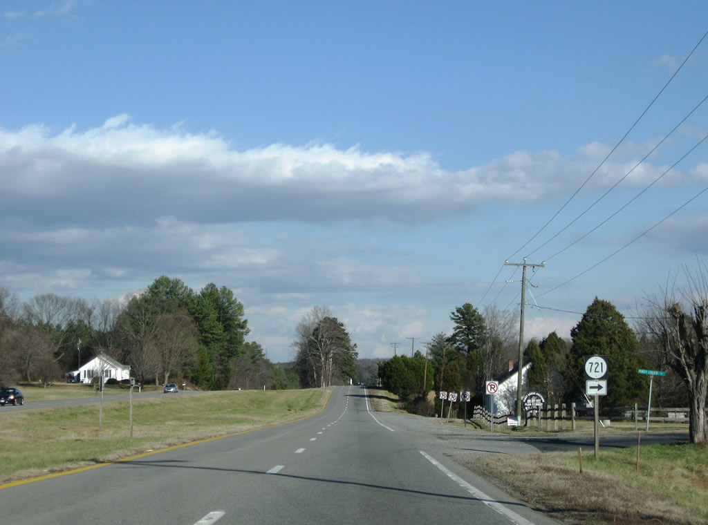
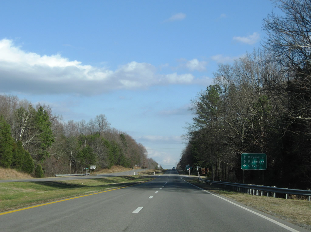
SR 721 (Piney Creek Road) follows and departs U.S. 360 eastward to SR 716. U.S. 360 continues across Piney Creek toward Clover.
12/21/08
SR 92 begins and follows Clover Road northeast one mile from U.S. 360 at SR 720 (Guilt Town Road) to Clover. The state route meets U.S. 360 again in four miles.
12/21/08
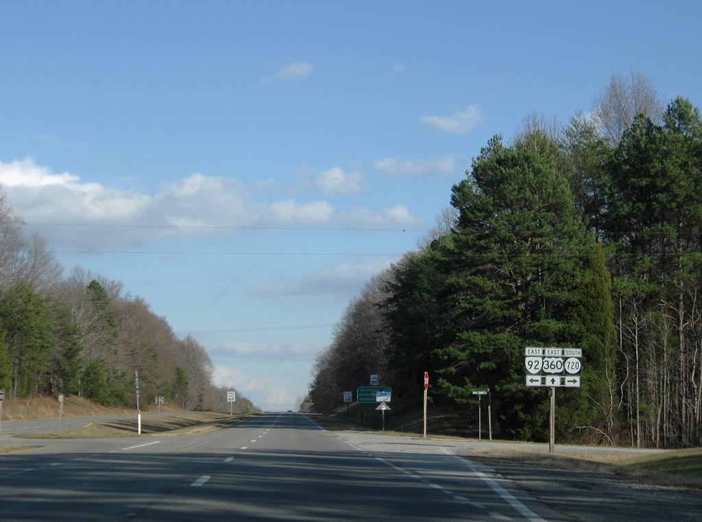
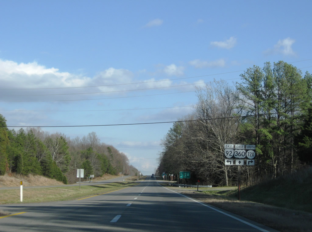
U.S. 360 (James D. Hagood Highway) eastbound at SR 92 (Clover Road) east and SR 720 (Guilt Town Road) south. SR 92 provides a route to Staunton River Battlefield State Park via SR 600 north from Clover. The state route otherwise travels 30 miles east to U.S. 58 Business at Boyston.
12/21/08
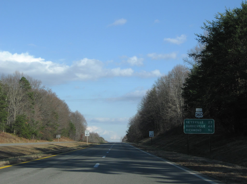
U.S. 360 bypasses Clover to the south and continues 44 miles to Burkeville (U.S. 460).
12/21/08
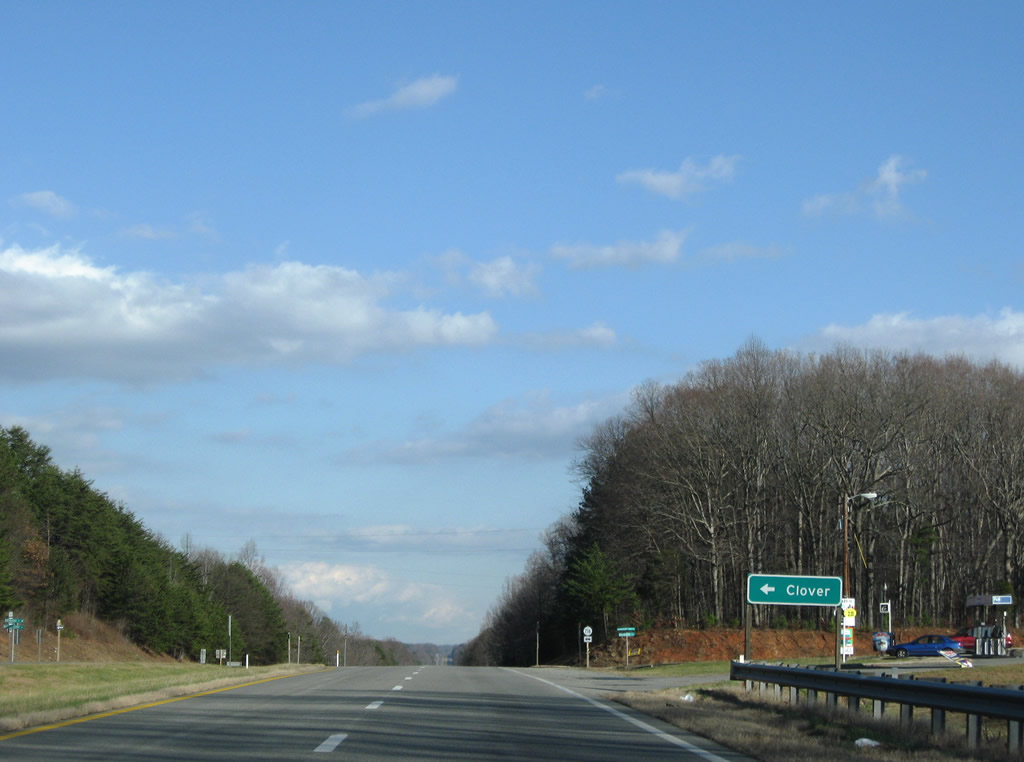
SR 716 (Moseley Ferry Road) provides a second route to Clover from U.S. 360 east.
12/21/08
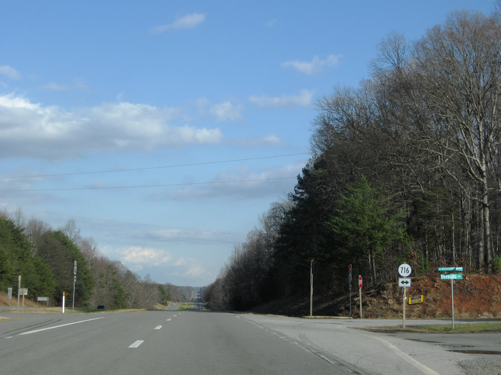
SR 716 continues south from U.S. 360 along Dryburg Road to Dryburg.
12/21/08
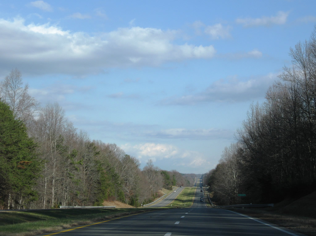
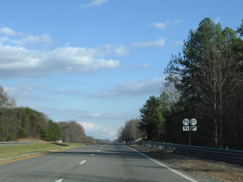
A long straight away carries U.S. 360 eastbound drivers to junction SR 715 (Williams Road west to SR 716) and Red Level Church Road east.
12/21/08
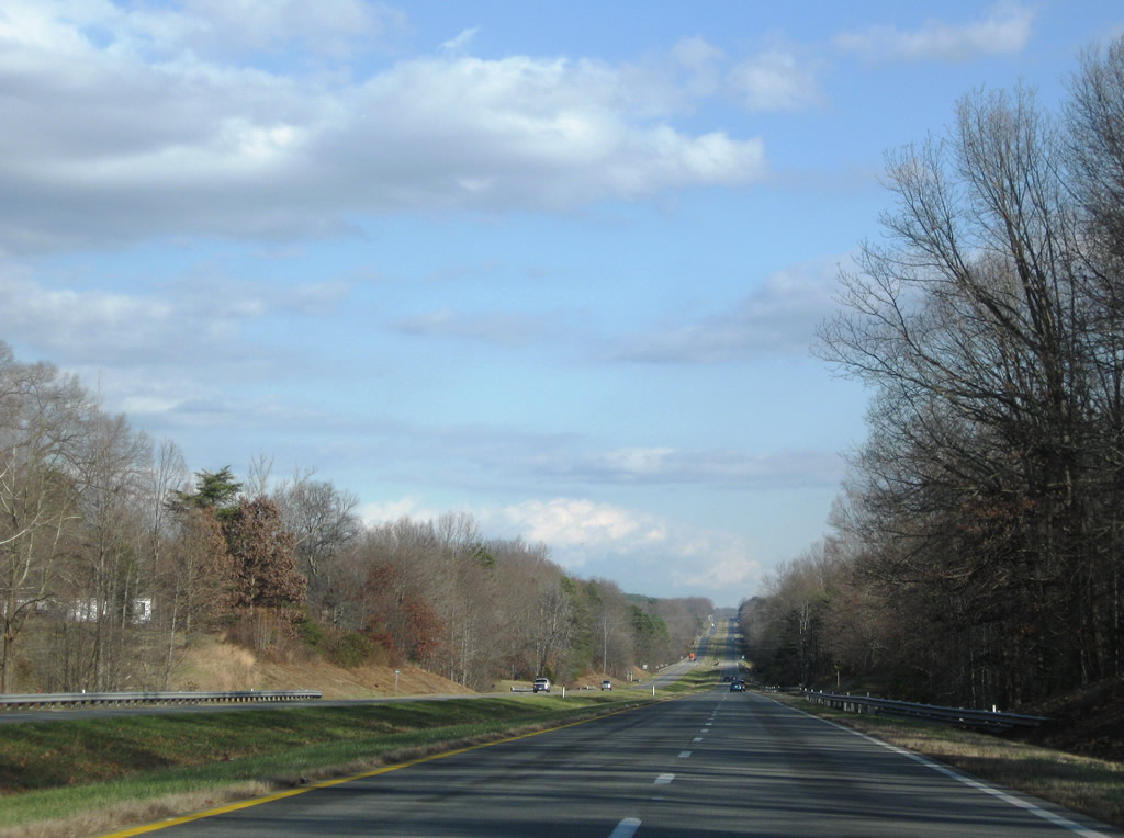
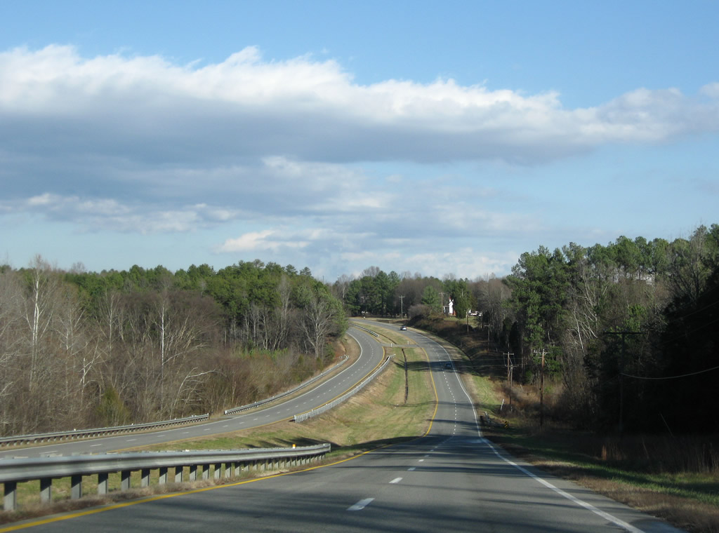
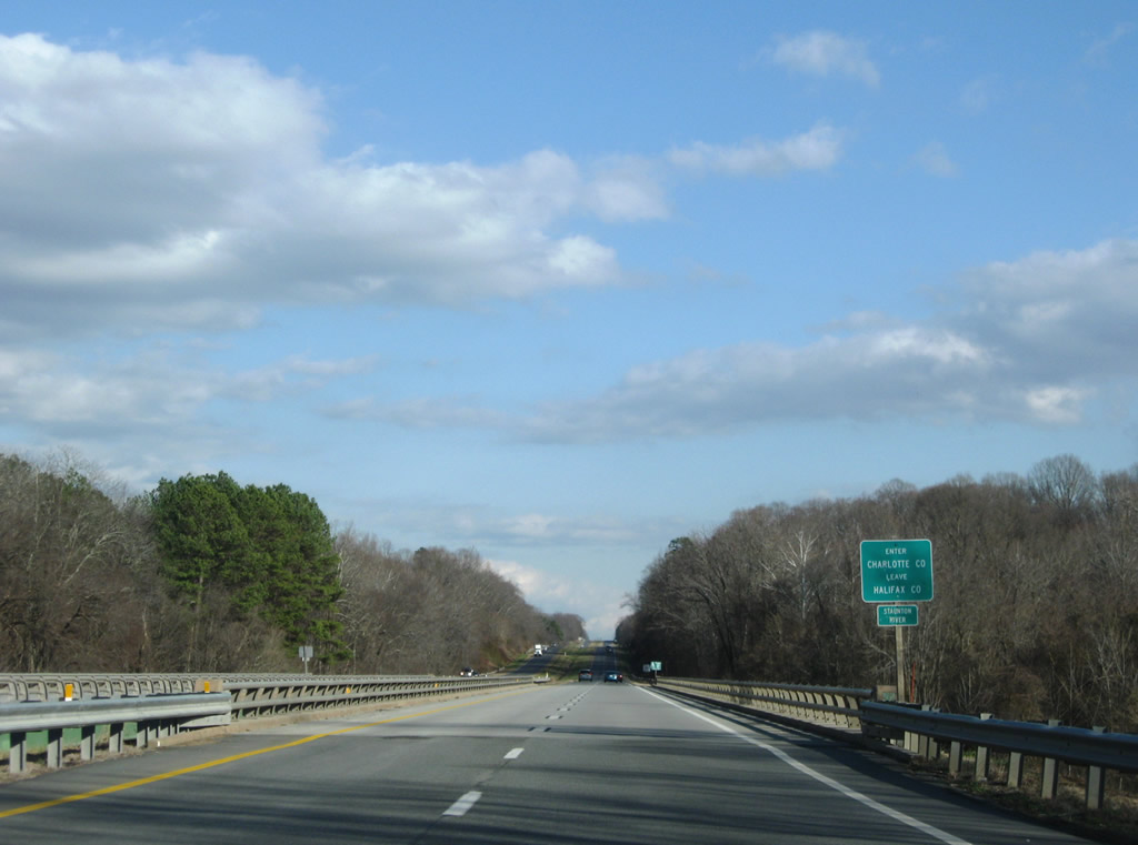
Crossing the Staunton River / John H. Kerr Reservoir along U.S. 360 east. The waterway represents the boundary between Halifax and Charlotte Counties.
12/21/08
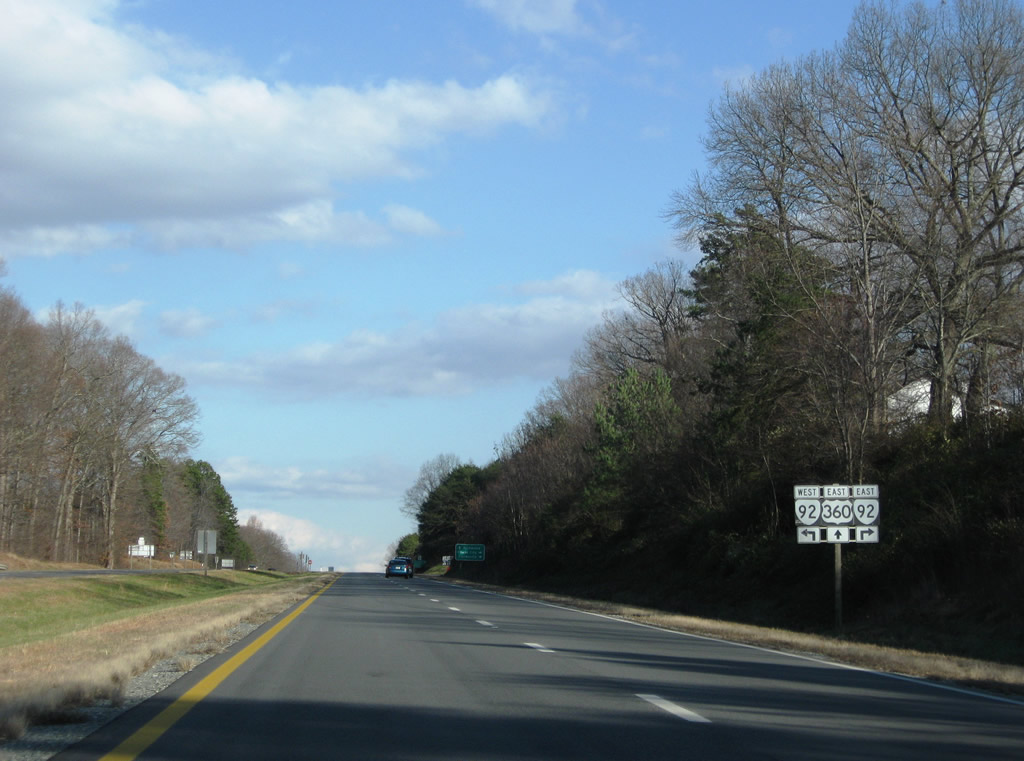
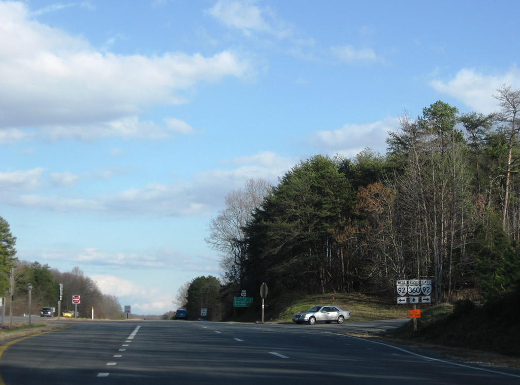
SR 92 returns from its loop through Clover via Jeb Stuart Highway east to cross paths with U.S. 360 in southern Charlotte County.
12/21/08
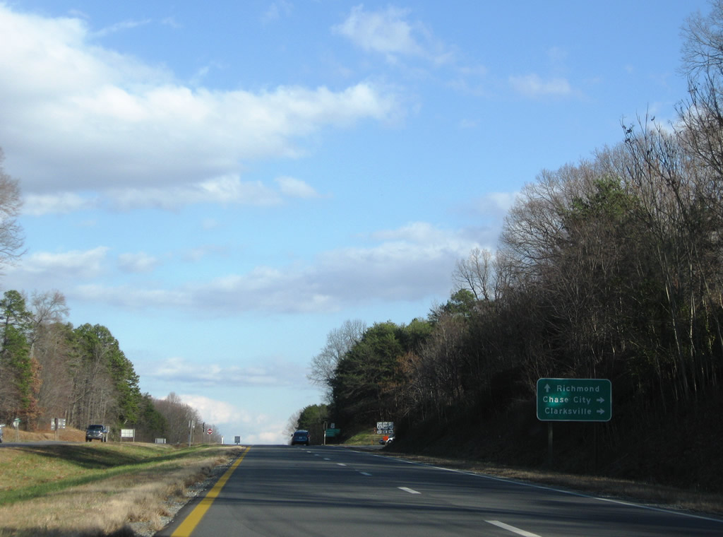
SR 92 continues east along Jeb Stuart Highway to Public Fork nearby and overall to Chase City and Boydton. Connections with U.S. 15 south lead drivers to Clarksville as well.
12/21/08
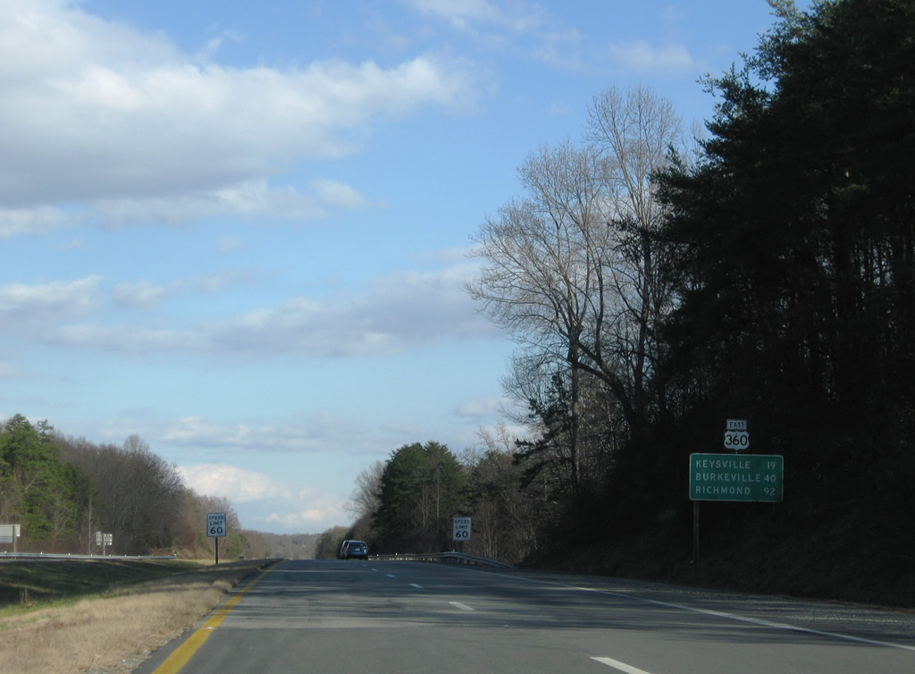
Keysville lies 19 miles ahead, followed by Burkeville in 40 miles.
12/21/08
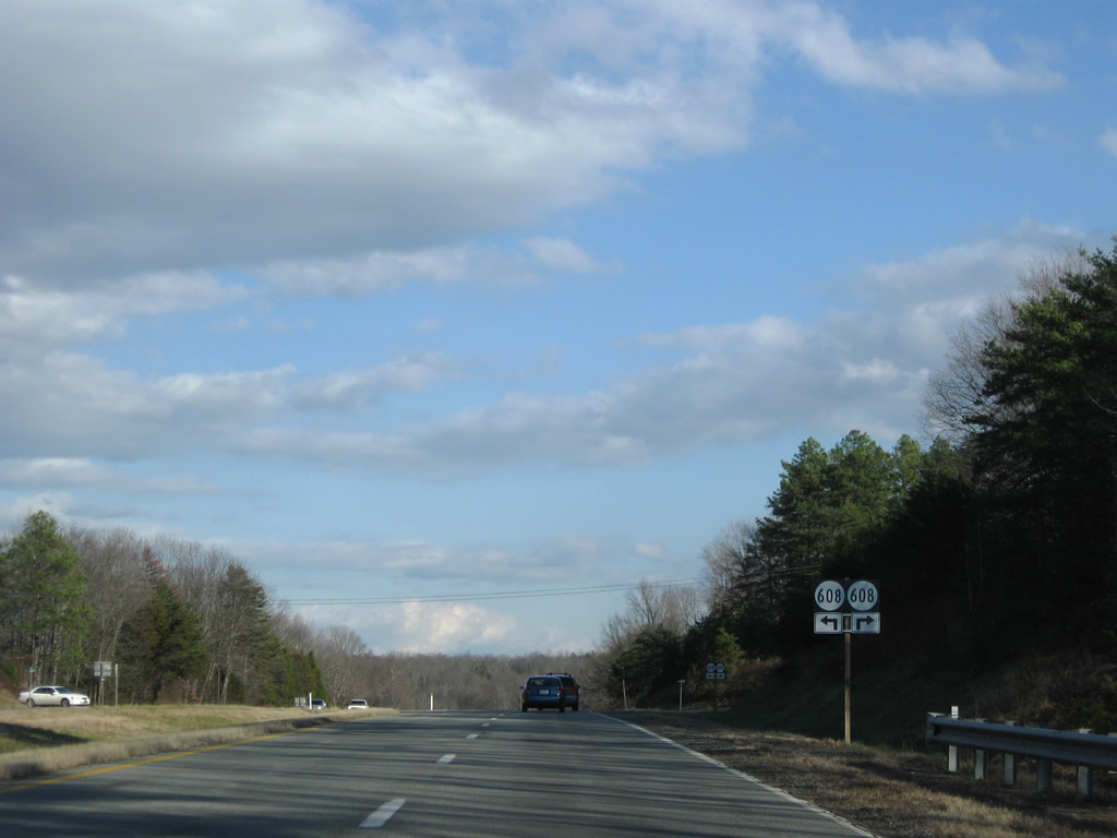
SR 608 follows Public Fork Road north from SR 92 (Jeb Stuart Highway) to cross U.S. 360 en route to SR 607 south of Formosa.
12/21/08
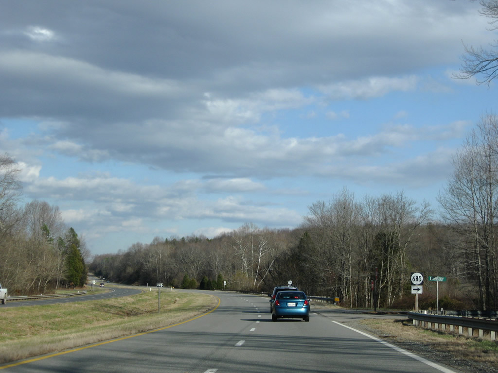
SR 685 connects SR 608 (Public Fork Road) with U.S. 360 (Kings Highway) via Berles Creek Road. SR 608 and 685 east from SR 92 likely represent an old alignment of U.S. 360.
12/21/08
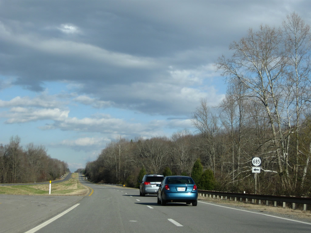
SR 685 continues Berle Creek Road (old U.S. 360?) parallel to U.S. 360 on the north side to SR 607 (Roanoke Station Road).
12/21/08
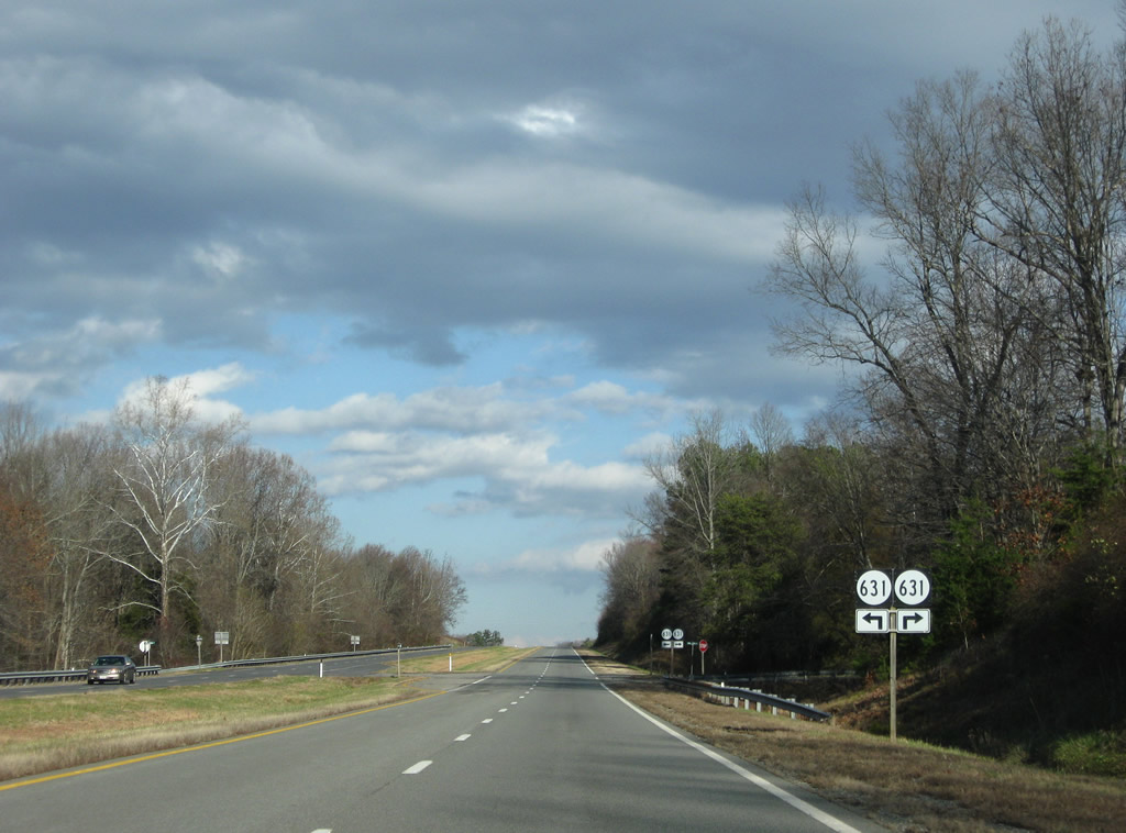
SR 631 follows Kings Cross Road south from SR 607 (Roanoke Station Road) to Kings Crossroads (SR 92) and U.S. 15 south of Barnes Junction.
12/21/08
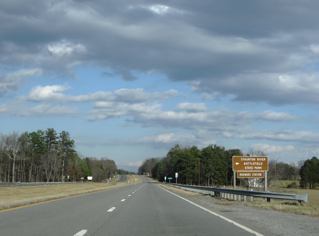
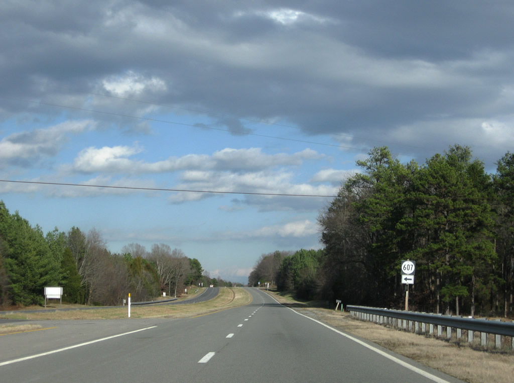
Roanoke Station Road (SR 607) ends at U.S. 360 (Kings Highway) at the next intersection. SR 607 ventures west to Formosa, Randolph, and SR 746 by the Watkins Bridge. SR 746 provides access to Staunton River Battlefield State Park.
12/21/08
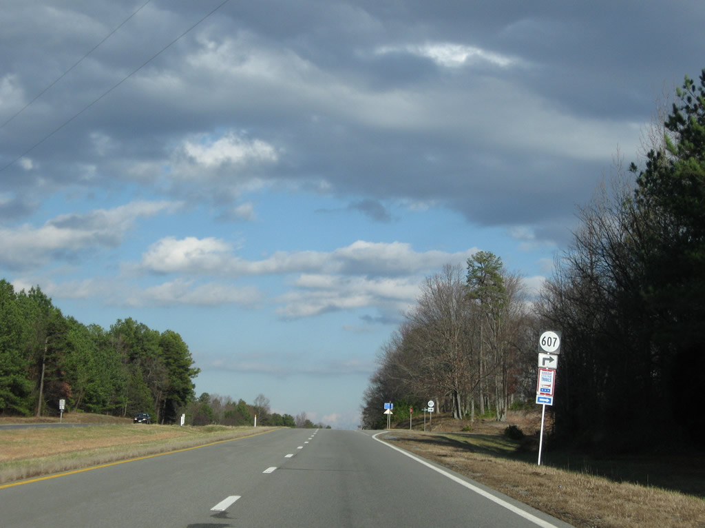
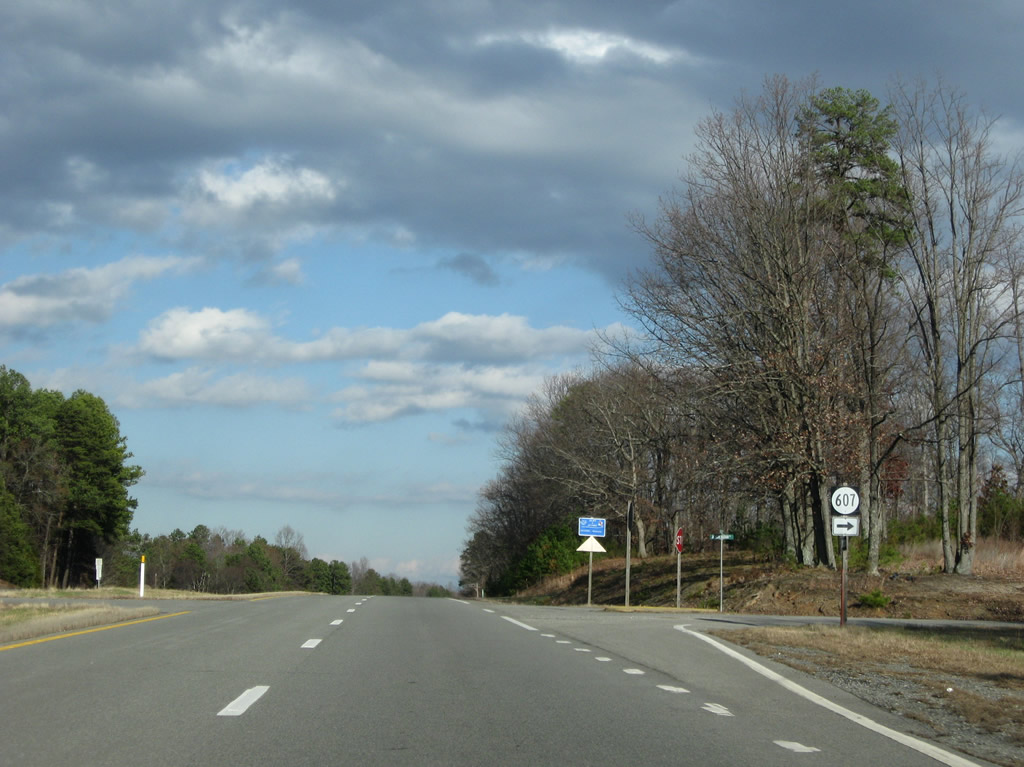
Jackson Vaughan Road continues SR 607 east to U.S. 15 (Barnesville Highway) at Wylliesburg. This is likely the old alignment of U.S. 360.
12/21/08
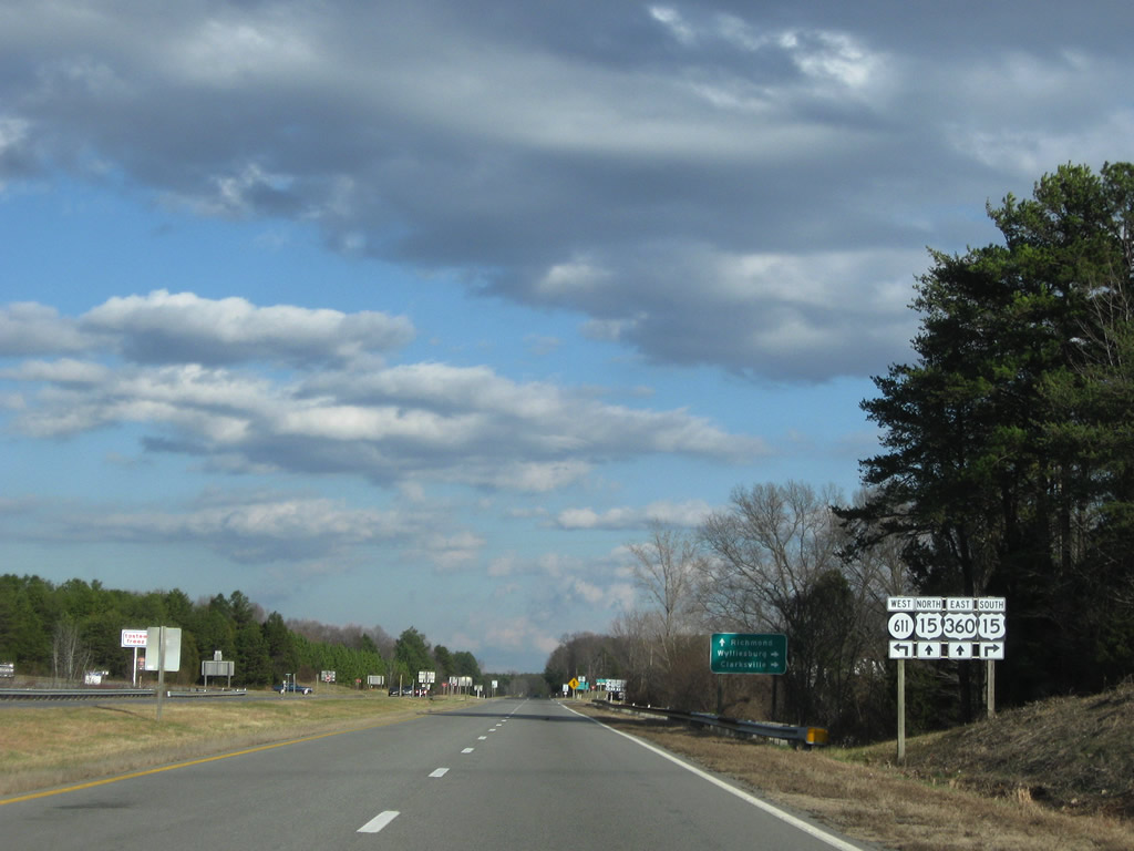
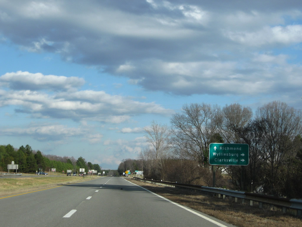
U.S. 15 (Barnesville Highway) merges with U.S. 360 (Kings Highway) east outside of Wylliesburg. SR 611 (Hebron Church Road) enters the intersection from SR 607 to the west.
12/21/08
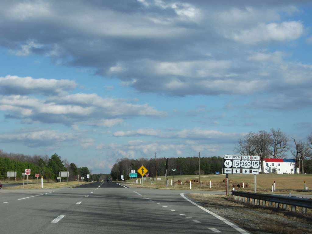
U.S. 15 travels 20 miles south from U.S. 360 (Kings Highway) to Clarksville and a brief merge with U.S. 58. The route totals 238 miles between North Carolina and Maryland.
12/21/08


Photo Credits:
- ABRoads: 12/21/08
Connect with:
Page Updated Wednesday May 19, 2010.