
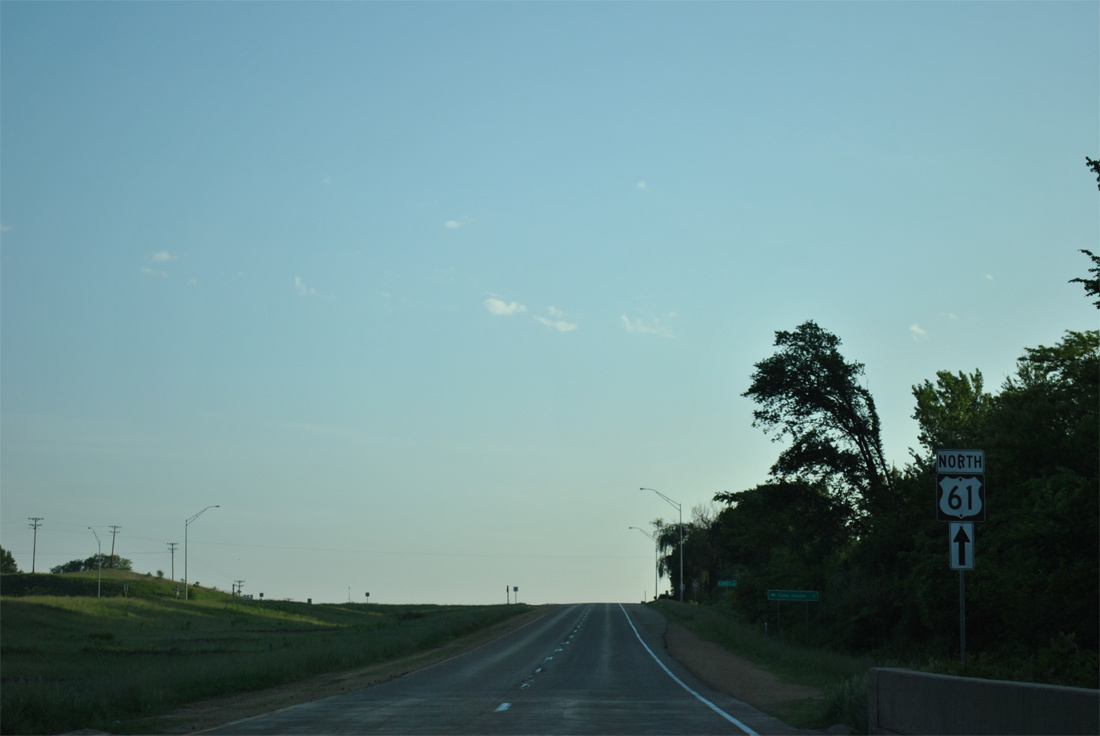
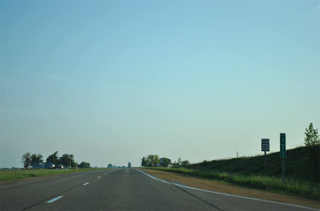
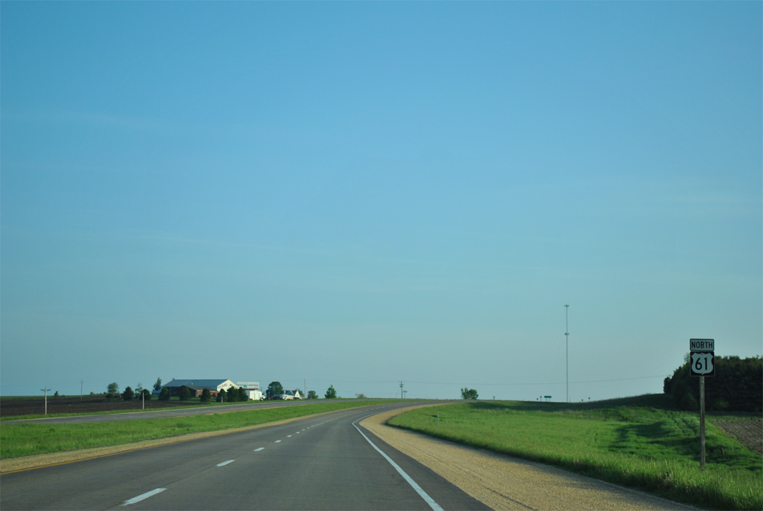
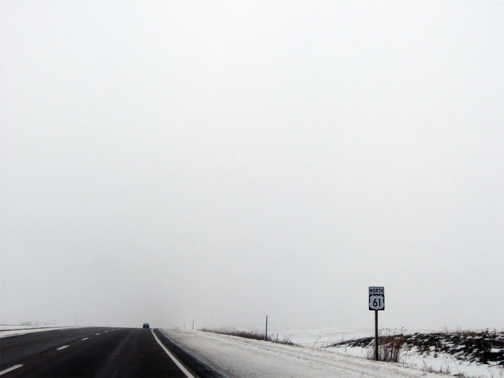
U.S. 61 North - Maquoketa to Dubuque

 North
North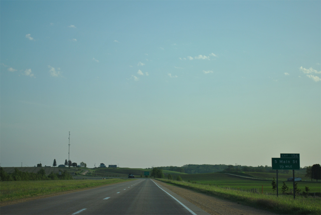
Old U.S. 61 meanders west from Iowa 136 along 220th Avenue to become South Main Street into Maquoketa. Exit 156 with Main Street serves Hwy 61 Industrial Park and City Industrial Park.
05/30/11
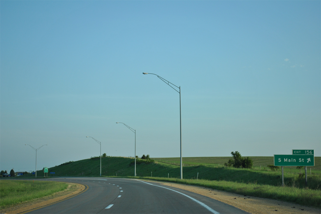
Travelers along U.S. 61 north enter the city limits of Maquoketa at Exit 156 to S Main Street. Main Street doubles as an unsigned business loop for U.S. 61 north to Iowa 64 west in Downtown.
05/30/11
U.S. 61 shifts to west of former U.S. 61 to bypass Maquoketa.
05/30/11
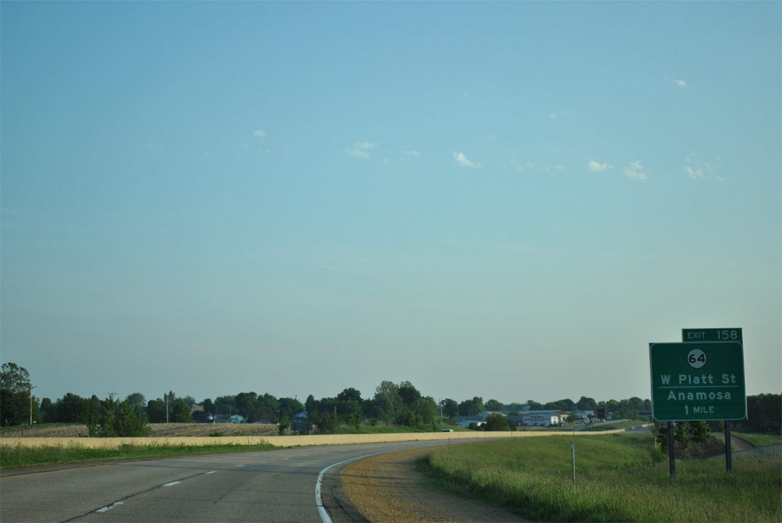
Iowa 64 follows Platt Street east through the heart of Maquoketa from a diamond interchange (Exit 158) with U.S. 61.
05/30/11
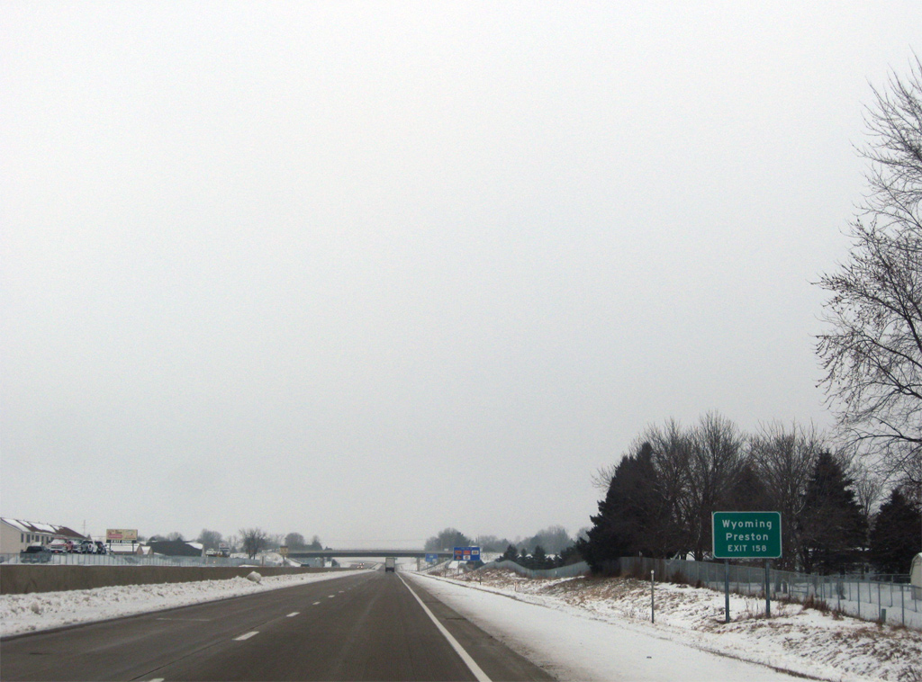
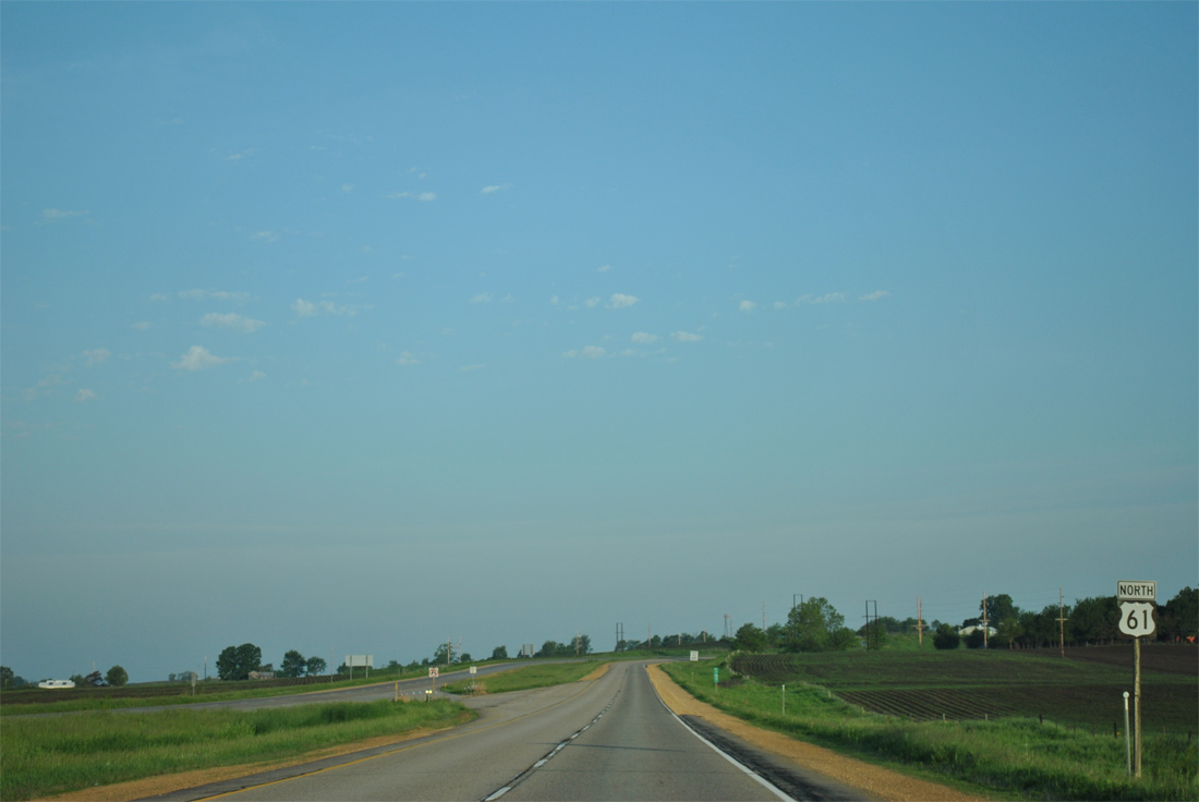
A barrier median gives U.S. 61 an urban feel through western reaches of Maquoketa. Iowa 64 links the city with Wyoming, 19 miles to the west, and Preston, 14 miles to the east. Iowa 62 branches northeast from town to Andrew and Bellevue as well.
12/21/09

Exit 158 leaves U.S. 61 north for Iowa 64 (Platt Street) and unsigned U.S. 61 Business south to downtown. Iowa 64 travels 64 miles overall between Anamosa (U.S. 151) to the west and the Illinois state line at Sabula to the east. Illinois 64 continues the route all the way to Chicago from Savanna.
05/30/11
U.S. 61 next spans the Maquoketa River. The northbound bridge opened in 1967 as part of the original two lane bypass while the southbound span is more modern with an opening in 1999.
12/21/09
Just north of the Maquoketa River is the intersection with Caves Road. Caves Road meanders northwest from U.S. 61 to Maquoketa Caves State Park.
05/30/11
Caves Road doubles as Jackson County Route Y31 north to Ironhills, Crab Town and Bernard in southern Dubuque County.
05/08/10
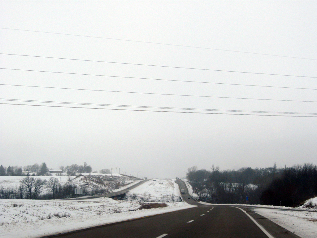
Cresting over a hill north of Caves Road, U.S. 61 lowers again toward the community of Hurtsville.
12/21/09
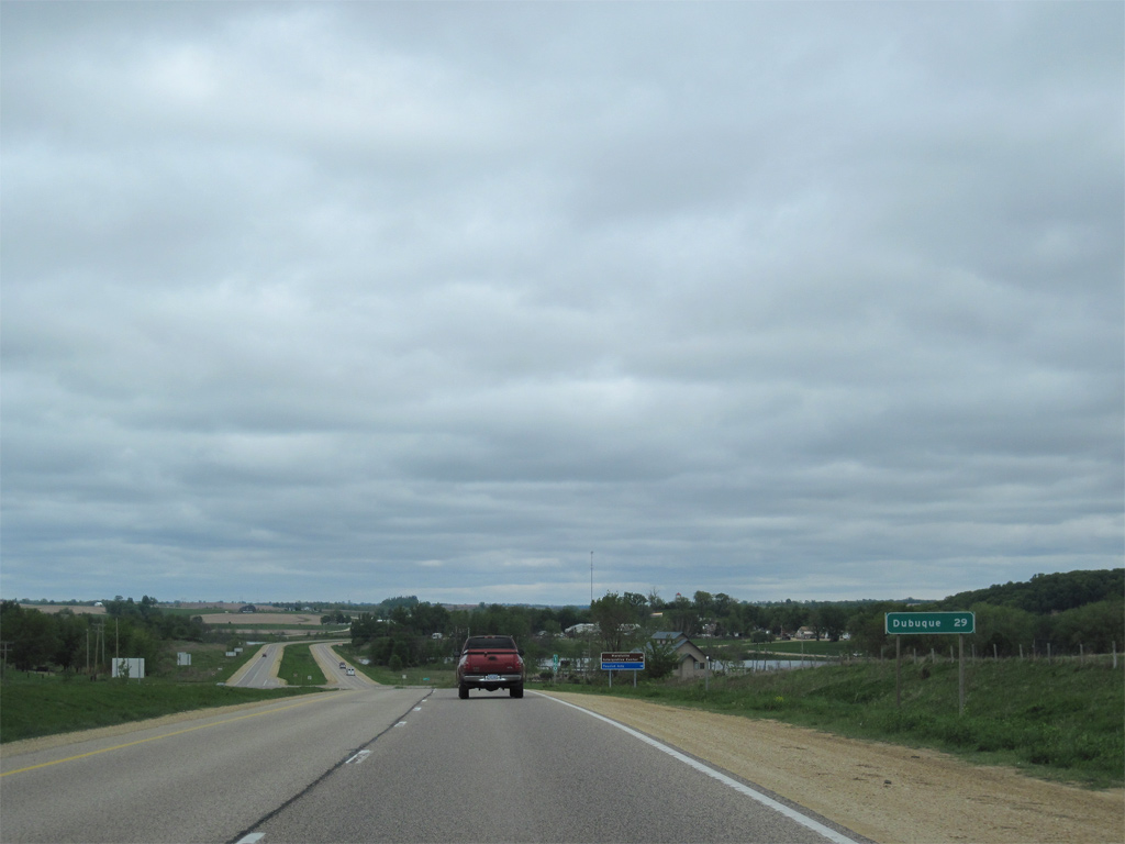
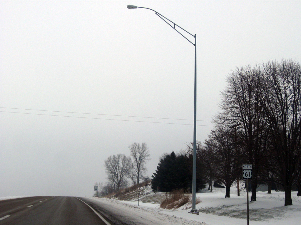
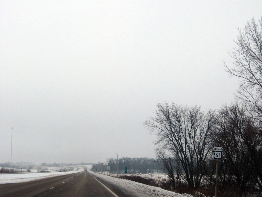
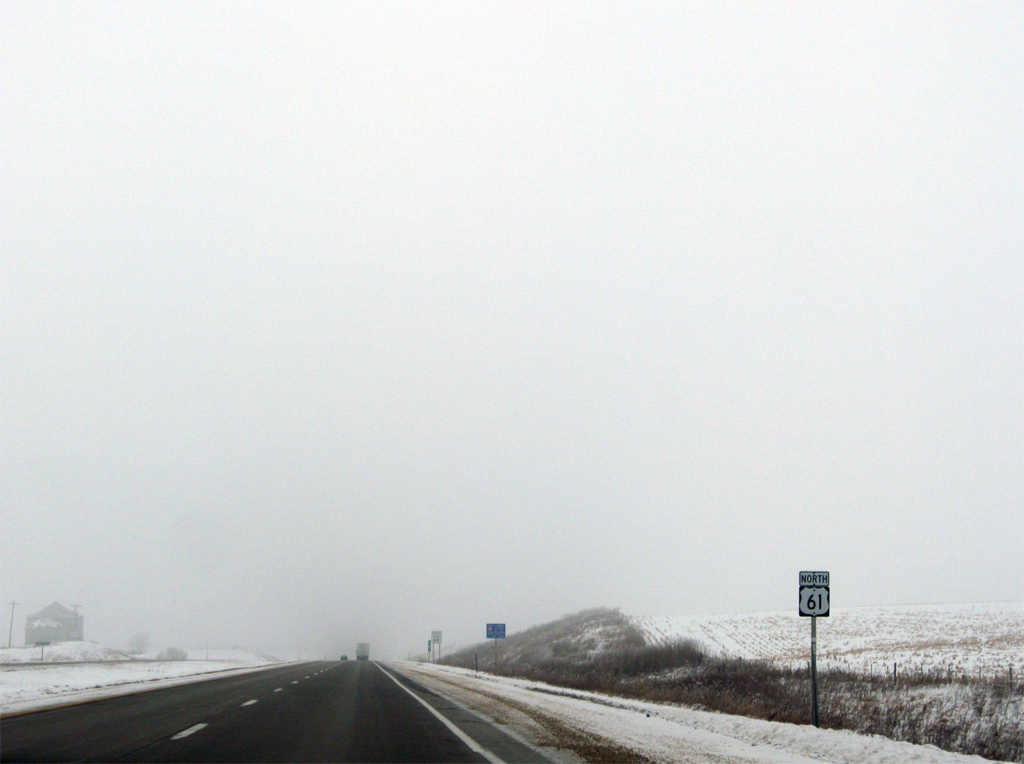
Dubuque is 29 miles north along U.S. 61 at milepost 160. 63rd Street intersects the expressway ahead, serving a tourist information center and the Hurtsville Interpretive Center.
05/08/10
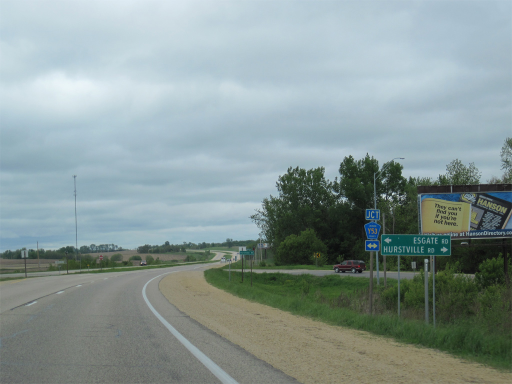
Jackson County Route Y53 (Hurtsville Road) follows old U.S. 61 northward from N Main Street in Maquoketa to Hurtsville. The county road follows Esgate Road west of U.S. 61 to County Road E17.
05/08/10
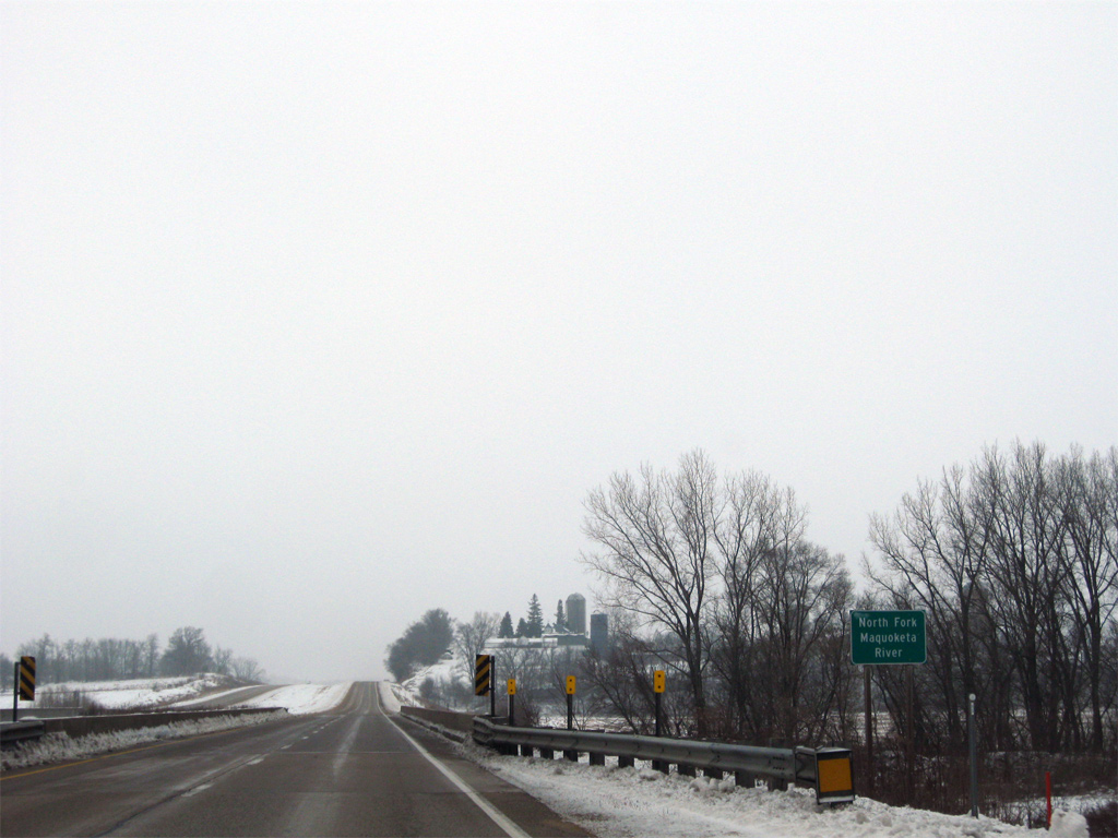
U.S. 61 turns northeastward to parallel the North Fork Maquoketa River over the next mile.
12/21/09
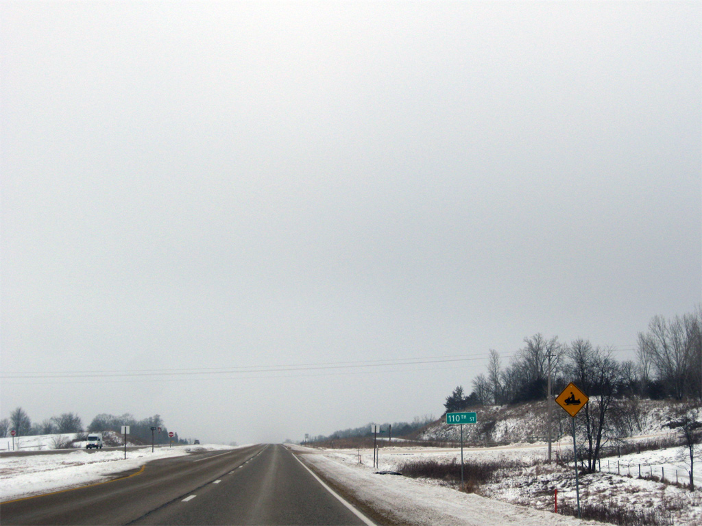
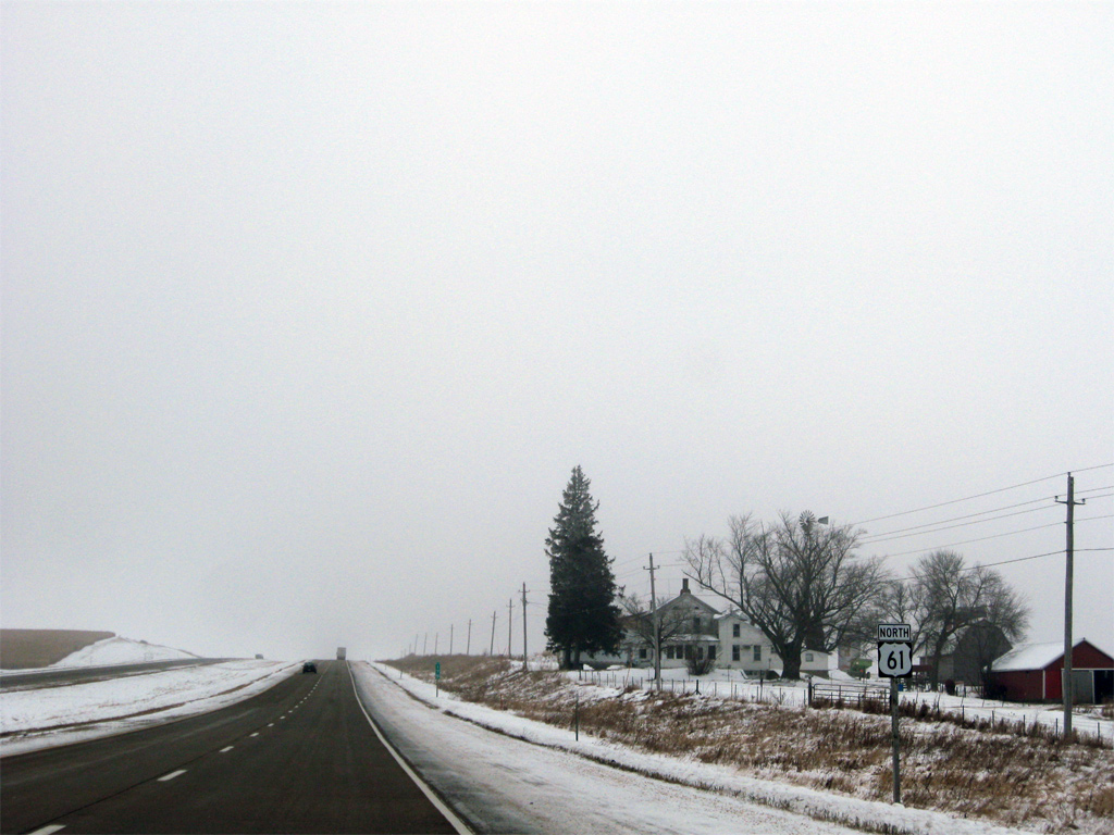
A snowmobile regulatory sign is posted at the intersection with 110th Street on U.S. 61 north.
12/21/09
U.S. 61 sinks toward a crossing of the North Fork Maquoketa River. The North Fork flows 96 miles southward from northern Dubuque County by Dyersville to the city of Maquoketa.
05/08/10
12/21/09

Fulton Road arcs southwest from U.S. 61 to the community of Fulton and 134th Street as part of the original course of U.S. 61 south to Hurstville. An abandoned truss bridge lies south of the Fulton Road end across the North Fork Maquoketa River.
05/08/10

150th Street doubles as Jackson County Route E17 at U.S. 61. CR E17 links the expressway with Andrew four miles to the east and Canton 12 miles to the west.
05/30/11
U.S. 61 crosses Farmers Creek immediately north of 150th Street.
12/21/09
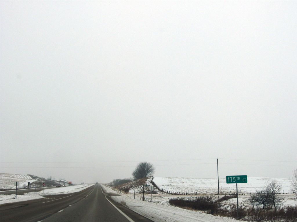
Farmers Creek turns east under U.S. 61 again ahead of the intersection with 175th Street.
12/21/09
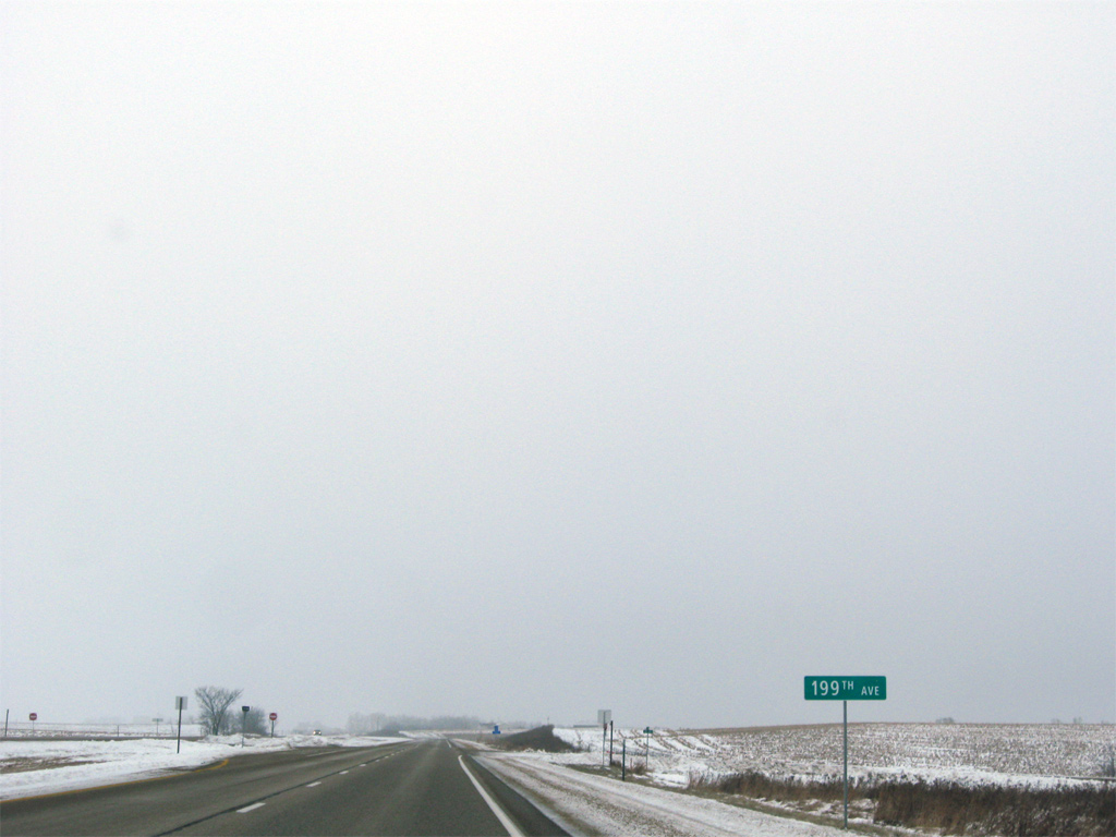
199th Avenue loops east from 175th Street to U.S. 61, 1.7 miles to the north as another former alignment of the US route.
12/21/09

215th Street north and 183rd Avenue south tie into U.S. 61 at this rural intersection. 183rd Avenue loops northwest to County Road D61 at Otter Creek as another former route of U.S. 61.
12/21/09
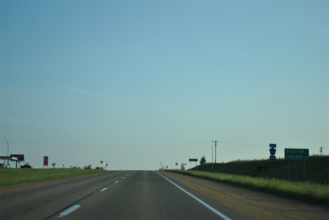
U.S. 61 advances far enough north in Iowa to reach the D-band of county highways. County Road D61 follows Bellevue-Cascade Road across northern Jackson County west to Garryowen (nine miles) and east to Cottonville as part of a longer route between Cascade and Bellevue (17 miles).
05/30/11
Continuing north from Jackson County Route D61 and Otter Creek along U.S. 61.
05/30/11
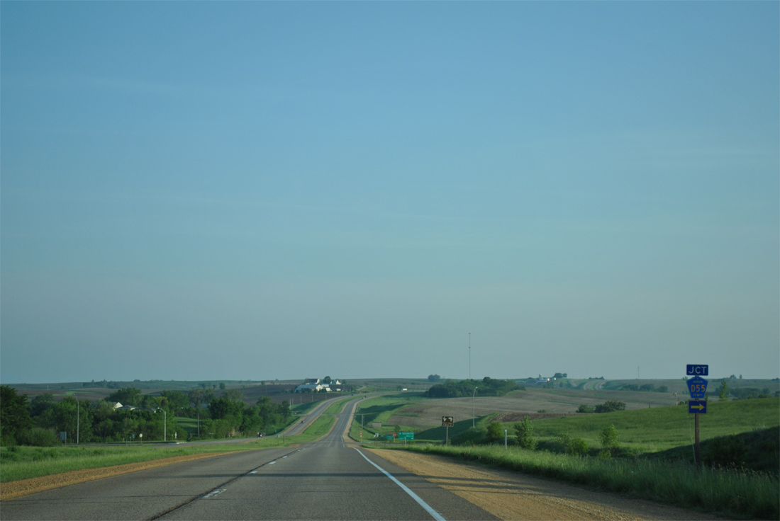
Staying just east of the city of Zwingle, U.S. 61 intersects County Road D55 (300th Street) east to La Motte.
05/30/11
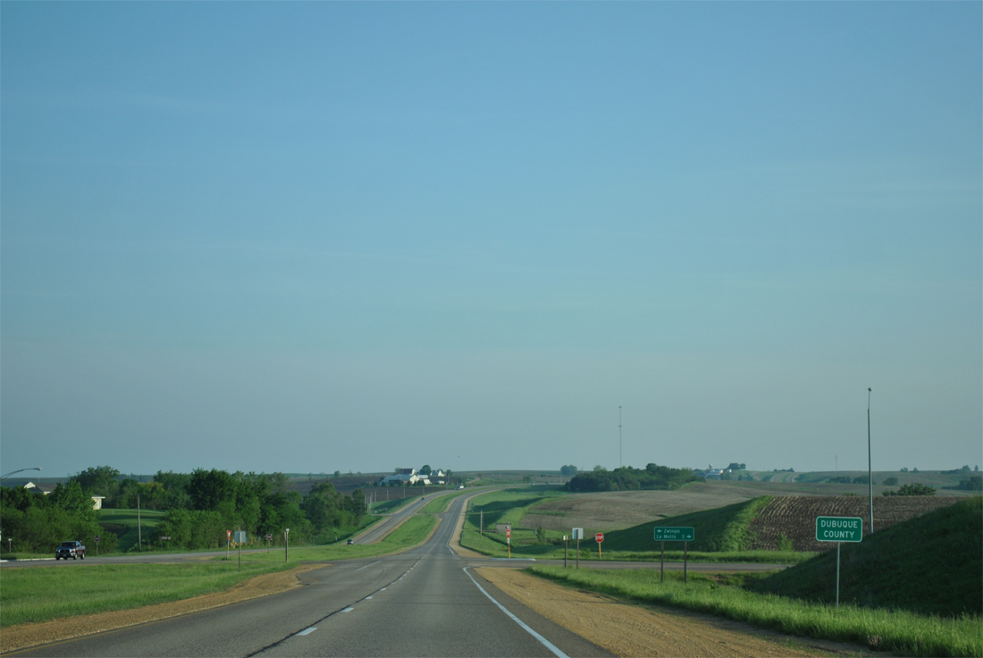
U.S. 61 north enters Dubuque County at the intersection with Washington Mills Road west and County Road D55 east. La Motte is three miles to the east while Zwingle is immediately west along Union Street.
05/30/11
Old U.S. 61 follows Main Street through Zwingle as U.S. 61 bypasses the community of nearly 100 just to the east.
12/21/09
U.S. 61 subsumes Main Street and next intersects Manderscheid Road west and Arensdorf Road east. Unlike Scott, Clinton and Jackson Counties to the south, roads in Dubuque County are named instead of numbered.
05/30/11
Local roads (Marie Lane and Decker Lane) spur from U.S. 61 along an otherwise isolated stretch between Arensdorf and Higginsport Roads. A short stretch of old U.S. 61 remains as a service road as Heartland Lane as well.
12/21/09
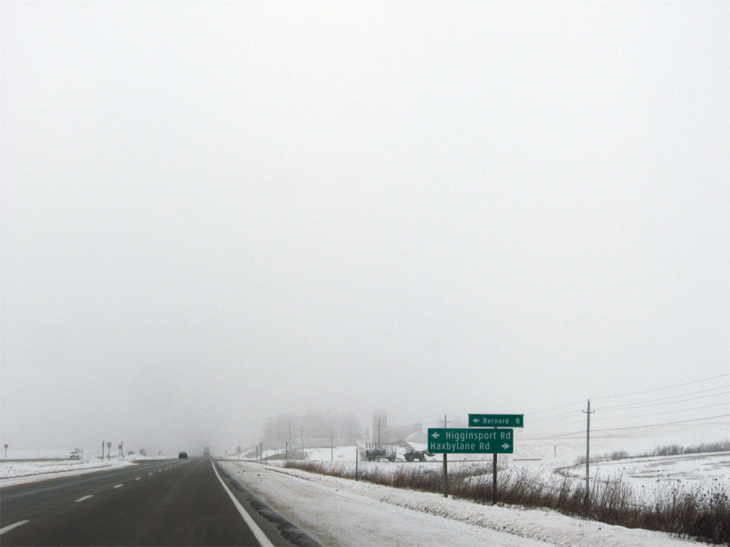
Higginsport Road west and Haxbylane Road lead outward from U.S. 61 as unsigned County Road D53 to Bernard eight miles to the west, and St. Donatus to the east.
12/21/09
A wide open stretch of U.S. 61 ahead of Buncombe Road. 7,400 vpd was recorded on this stretch in 2010.
05/30/11
Buncombe Road leads east to Olde Davenport Road and west to Bennettville Road ahead of this shield assembly for U.S. 61 north.
12/21/09
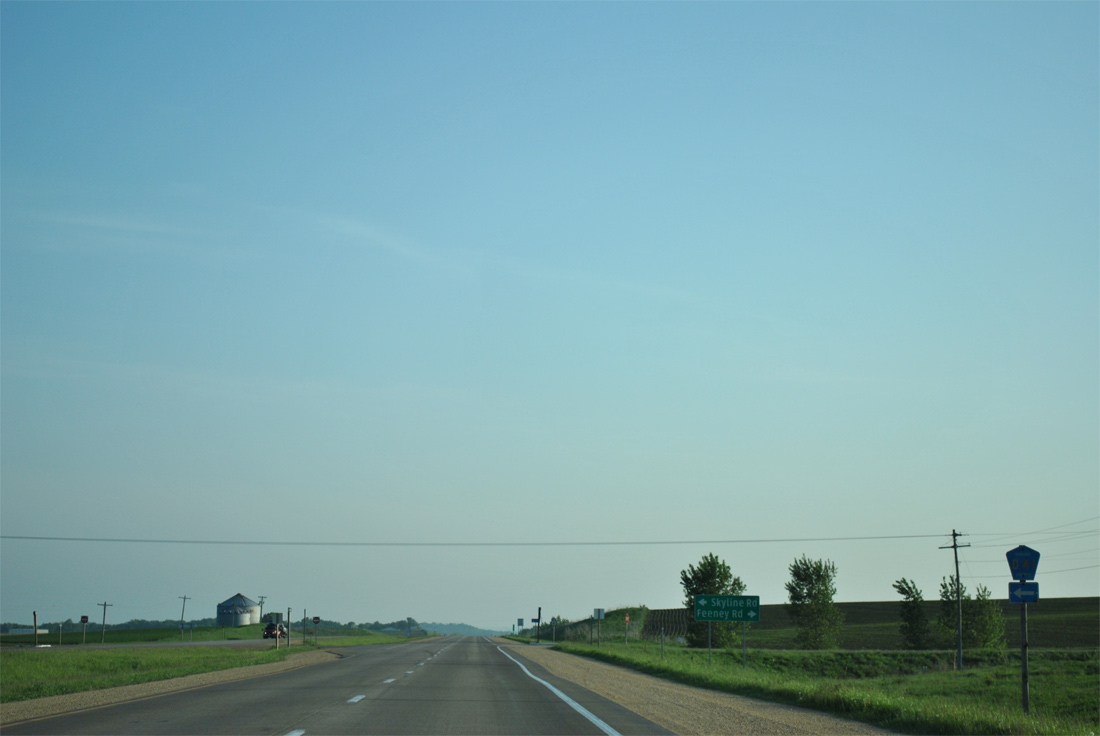
Dubuque County Route D41 (Skyline Road) heads west 4.2 miles from U.S. 61 to U.S. 151. Airview Road carries the route initially northward on a 4.9 mile long zigzagged route to U.S. 52.
05/30/11
U.S. 61 passes by Dubuque Regional Airport (DBQ) from Skyline Road north.
12/21/09
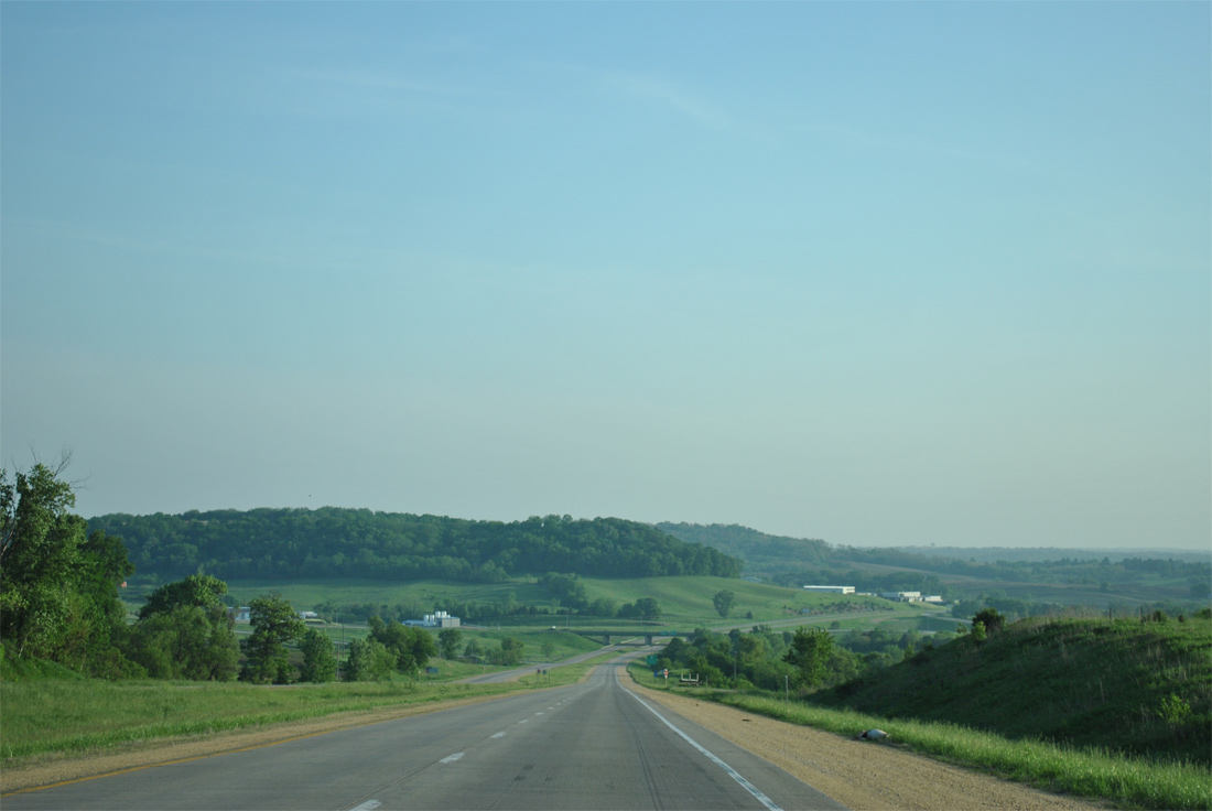
U.S. 61 drops from a plateau into scenic valley ahead of a trumpet interchange with U.S. 151.
05/30/11
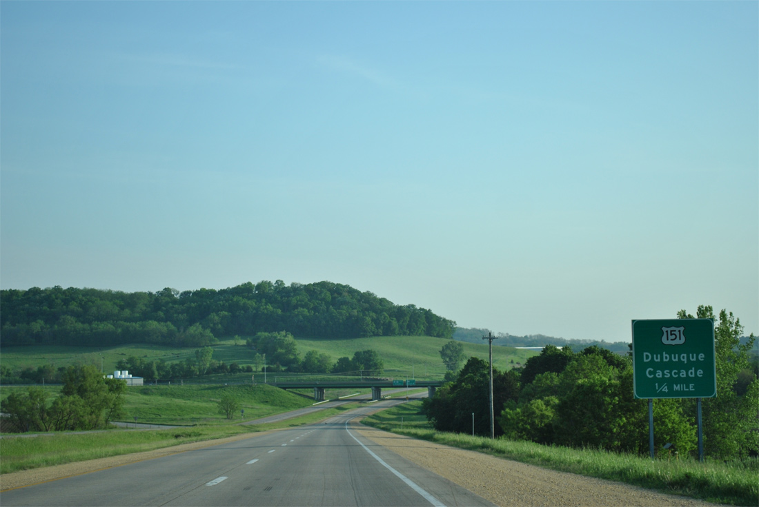
U.S. 151 combines with U.S. 61 north from Cascade, 18 miles to the southwest along an expressway linking Cedar Rapids and Dubuque.
05/30/11
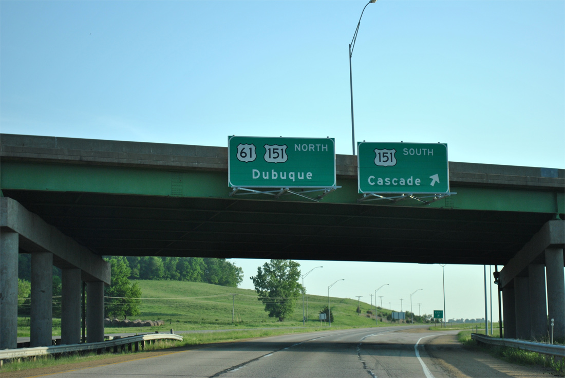
Northbound at the loop ramp onto U.S. 151 south. U.S. 151 travels 108 miles in Iowa, beginning at Interstate 80 (Exit 255) to the southwest of Cedar Rapids. The route coincides with U.S. 61 northward into Wisconsin.
05/30/11
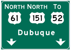

Photo Credits:
- ABRoads: 05/08/10, 05/30/11
- Alex Nitzman: 12/21/09
Connect with:
Page Updated Wednesday March 13, 2013.