
U.S. 61 South - Baton Rouge vicinity

 South
South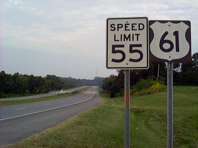
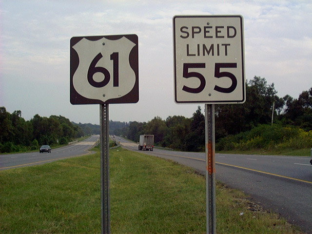
A pair of U.S. 61 reassurance shields were posted at the merge with LA 964 southeast of Saint Francisville. These were replaced with a single shield on the right side and speed limits increased to 65 miles per hour.
LA 964 merges onto the divided highway for 0.7 miles to cross Thompson Creek into East Feliciana Parish. From there LA 964 loops 15.3 miles east from U.S. 61 to a point three miles north of Scotlandville in Baton Rouge. The highway represents the original U.S. 61 and is signed as Old Scenic Highway.
10/13/03
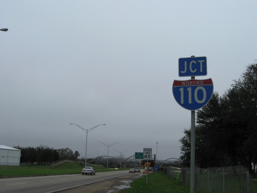
U.S. 61 enters the city of Baton Rouge ahead of Blount Road and quickly proceeds from there to meet Interstate 110 south. Interstate 110 provides a direct connection from U.S. 61 at Scotlandville to downtown and Interstate 10 at the Horace Wilkinson Bridge.
01/05/09
A two-digit shield for the forming flyover ramp to Interstate 110 shield was posted previously along U.S. 61 (Scenic Highway) southbound after Blount Road.
01/05/09
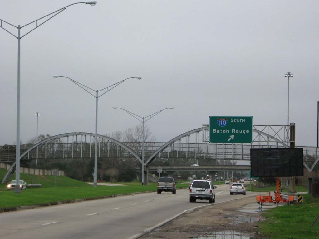
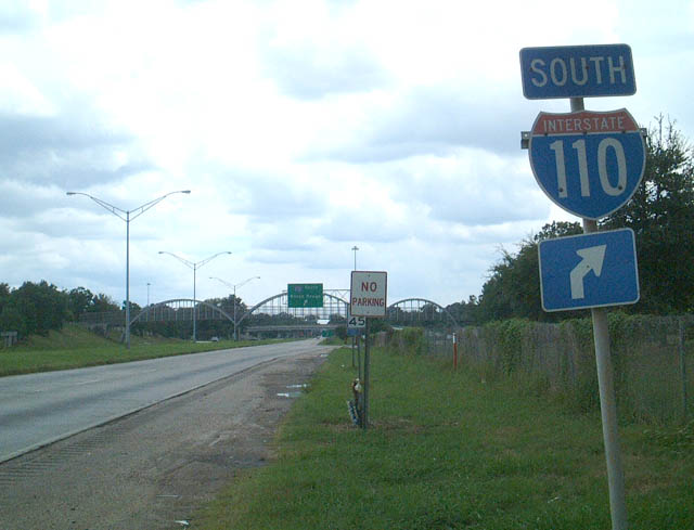
I-110 southbound departs U.S. 61 (Scenic Highway) at a pedestrian bridge. The freeway travels 8.89 miles between Scotlandville and Interstate 10 at Exit 155. U.S. 61 and I-110 converge again at a four level interchange in three miles.
01/05/09
South  East
East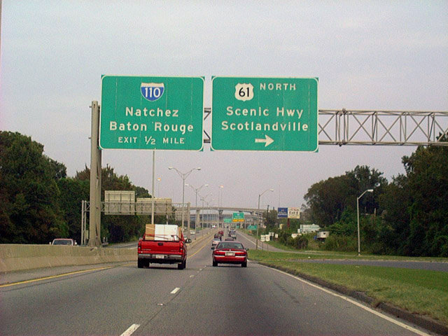
U.S. 190 eastbound at the loop ramp to U.S. 61 (Scenic Highway) northbound. Scenic Highway travels northward two miles to the Scotlandville neighborhood of the city and the northern end of Interstate 110.
10/13/03
U.S. 61/190 (Airline Highway) advance east along a freeway east to Beechwood Drive. The original construction of Interstate 110 eliminated several at-grade intersections along Airline Highway.
01/05/09
Interstate 110 doubles as the through route between I-10 and U.S. 61 for St. Francisville, Baker and Zachary (via LA 19 north) and Baton Rouge Metropolitan Airport (BTR).
01/05/09
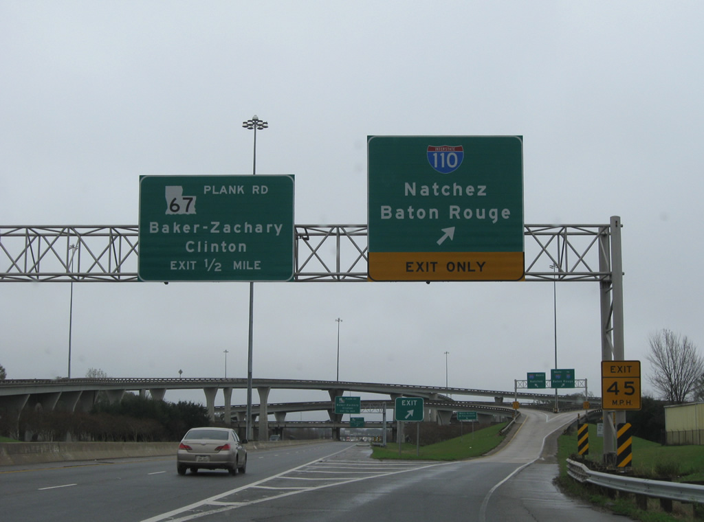
U.S. 61/190 continue a half mile east from I-110 to a cloverleaf interchange with LA 67 (Plank Road).
01/05/09
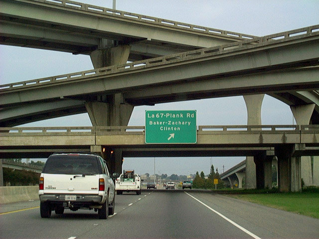
Traffic to LA 67 (Plank Road) departs Airline Highway east. LA 67 runs through the northern suburbs of Zachary and Baker on the 27 miles leading to Clinton and LA 10.
10/13/03
Photo Credits:
- Alex Nitzman, Carter Buchanan: 10/13/03
- ABRoads: 01/05/09
- AARoads: 01/05/09
Connect with:
Page Updated Thursday October 04, 2012.