
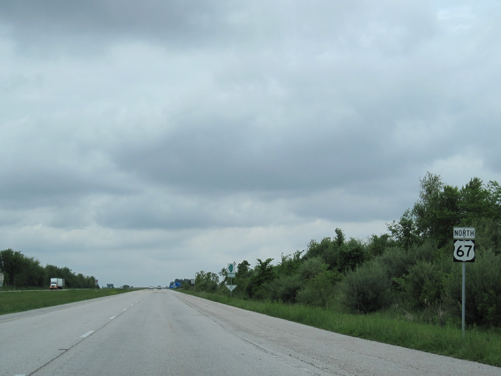
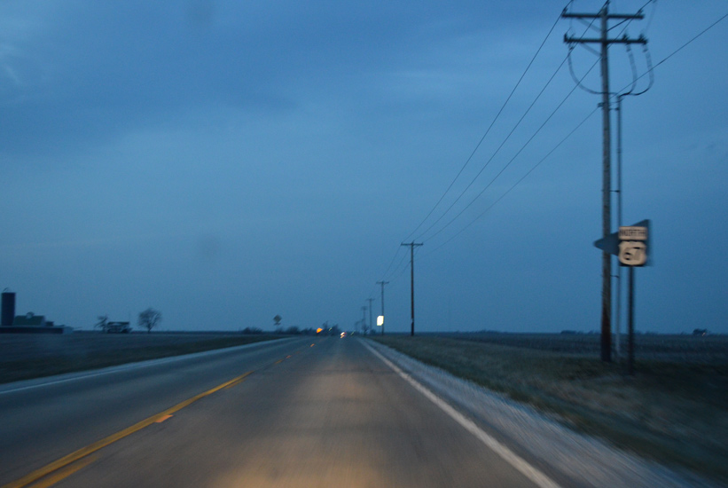
U.S. 67 North - Jacksonville to Macomb
 North
North
U.S. 67 transitions into a freeway north of Old Airport Road. A cloverleaf interchange link U.S. 67 next with I-72/U.S. 36.
05/07/10
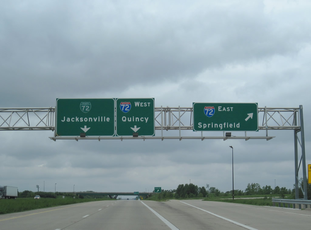
The exit for I-72/U.S. 36 east to Springfield departs from U.S. 67 north where Business Loop I-72 begins.
05/07/10
 East North
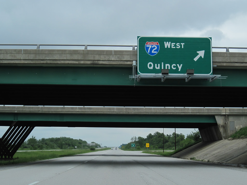
A loop ramp follows for I-72/U.S. 36 west to Quincy and Hannibal, Missouri.
05/07/10
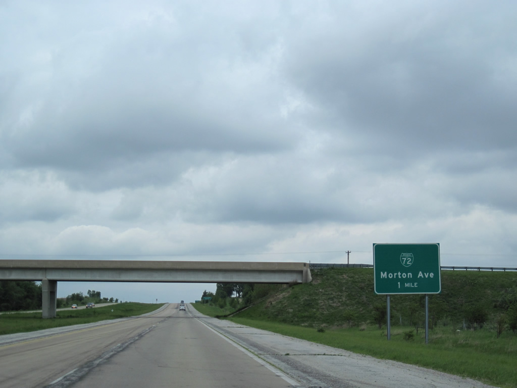
Business Loop I-72 overlays 2.6 miles of the freeway along U.S. 67 northward to Morton Avenue. The lone reassurance marker on this stretch, since replaced with a larger shield, omits the business route.
05/07/10
Leach Farm Road passes over Business Loop I-72 east / U.S. 67 north one mile ahead of their separation.
05/07/10
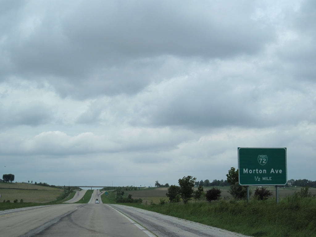
U.S. 67 traverses open agricultural land west of Jacksonville. Morton Avenue (former U.S. 36) provides the main route into the city of 19,446 (2010 census).
05/07/10
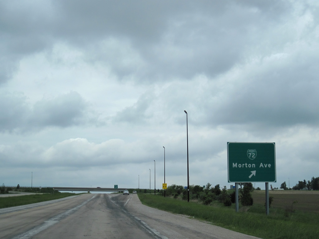
Entering the diamond interchange with Morton Avenue, Business Loop I-72 east parts ways with U.S. 67 north for old U.S. 36 across south Jacksonville.
05/07/10
North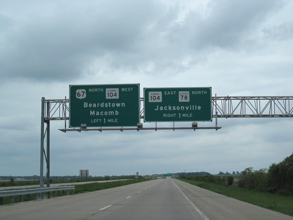
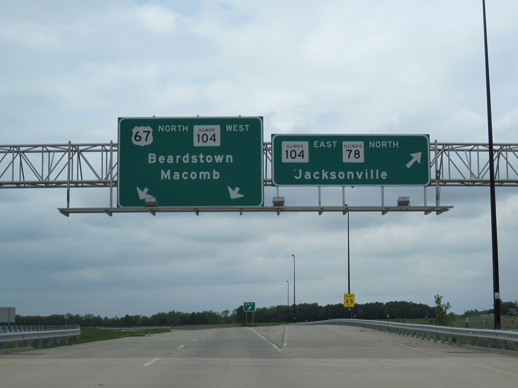
U.S. 67 stays well outside the developed area of Jacksonville and next meets IL 78/104 at a trumpet interchange.
05/07/10
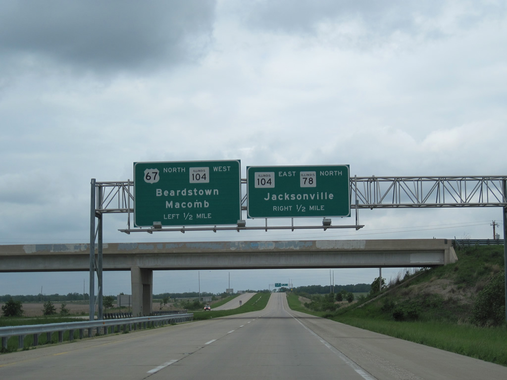
IL 78 commences a 210 mile long course northward to the Wisconsin state line from U.S. 67. The state route overlaps with IL 104, 0.49 miles east where IL 78 shifts onto Walnut Street through north Jacksonville.
05/07/10
IL 104 follows old U.S. 67 west from Main Street (IL 267) to the original bypass of Jacksonville. The bypass lines the west side of Jacksonville north to IL 78 and the freeway along U.S. 67.
05/07/10
North  West
West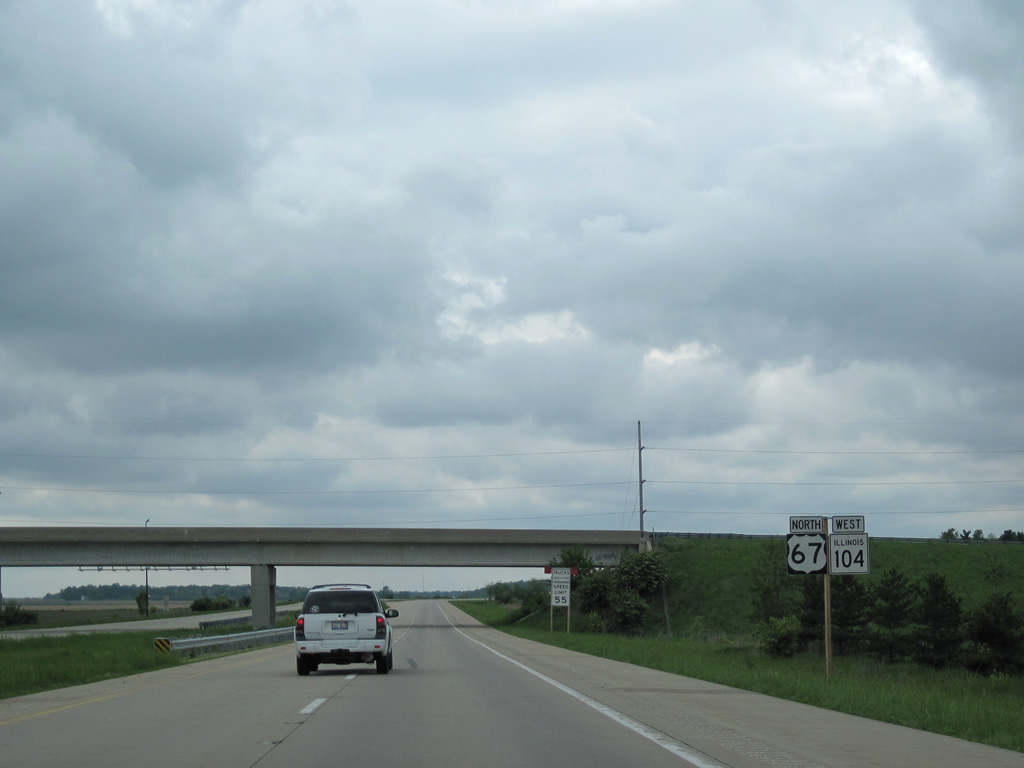
IL 104 west accompanies U.S. 67 north 13.5 miles from Jacksonville to Chapin, Bethel and a split east of Meredosia. This set of reassurance shields precedes the Gravel Springs Road overpass.
05/07/10
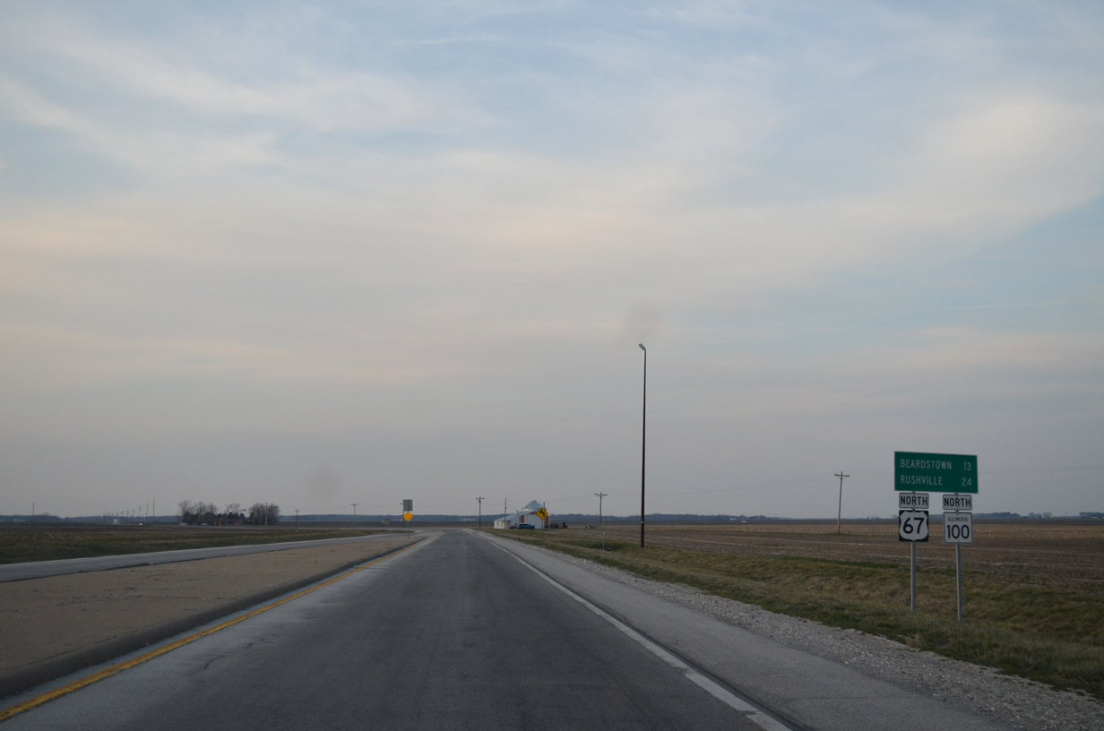
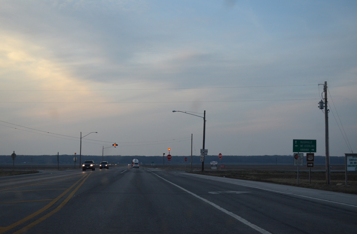
U.S. 67/IL 100 lead north from IL 104 near Meredosia 13 miles to Beardstown and 24 miles to the Schuyler County seat of Rushville.
04/05/13
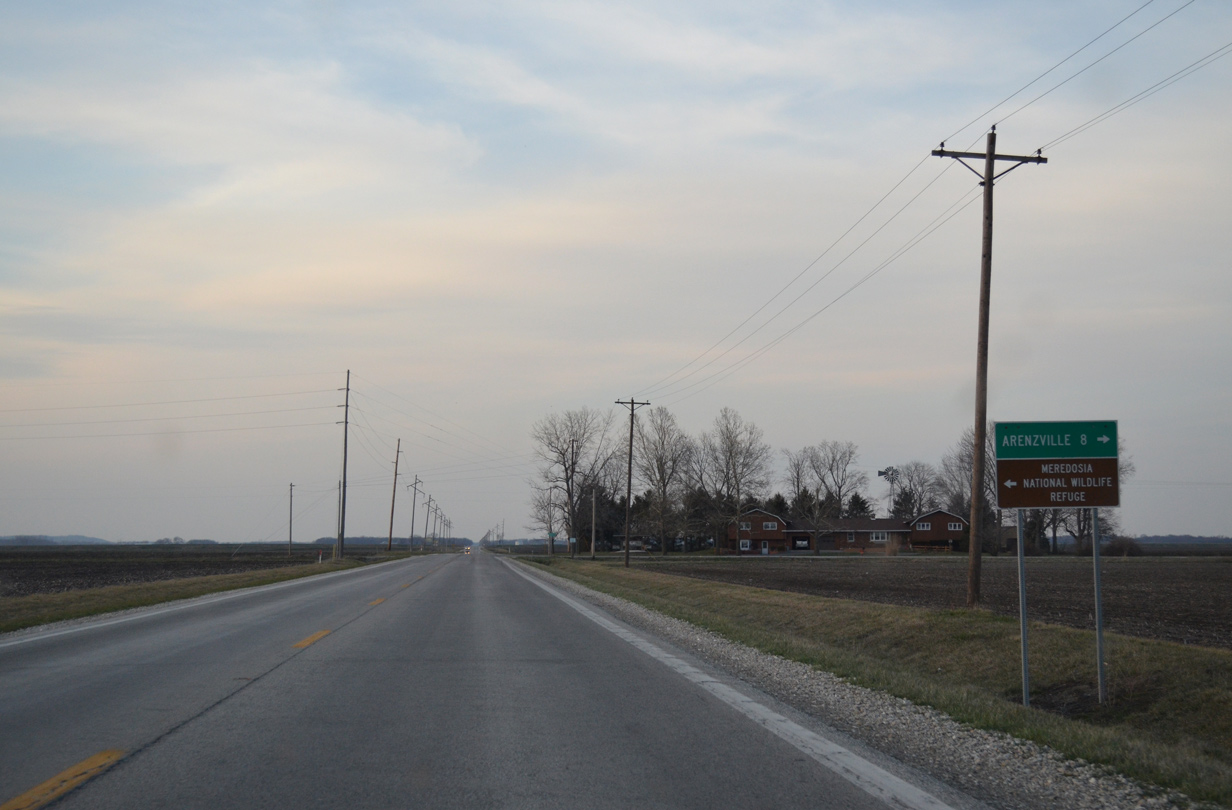
U.S. 67 north at the intersection with Kochs Lane west and Arenzville Road (CR 11) east. Kochs Lane leads back to Meredosia and the Meredosia National Wildlife Refuge while CR 11 arcs northeast to the village of Arenzville (as CR 9 in Cass County).
04/05/13
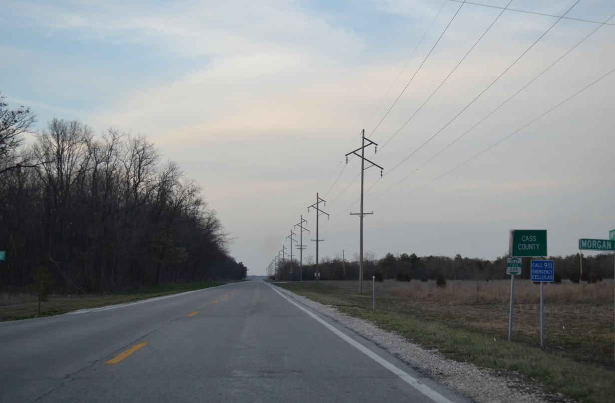
U.S. 67/IL 100 lead north another 2.5 miles to cross the Cass County line.
04/05/13
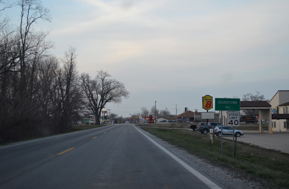
Generally shadowing the course of the Illinois River through agricultural areas, U.S. 67/IL 100 reach the Beardstown city limits 9.9 miles north of Morgan County.
04/05/13
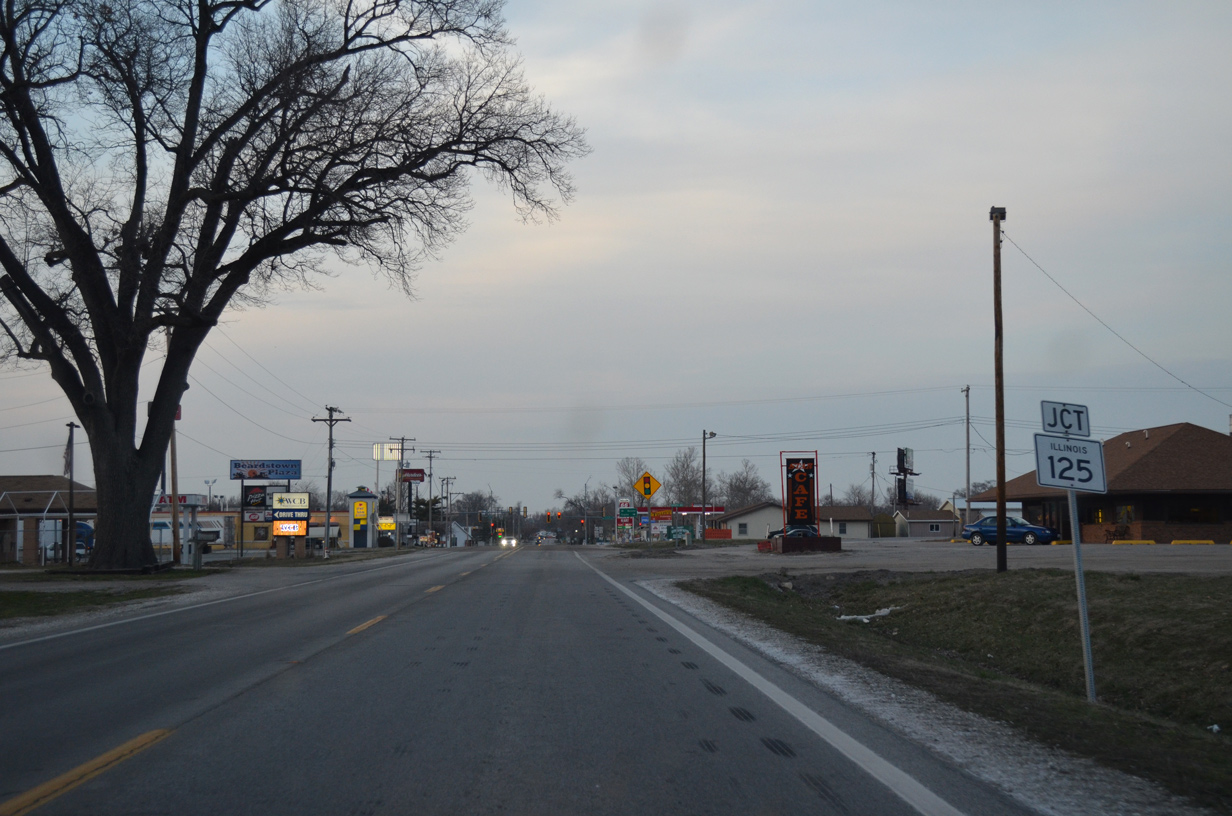
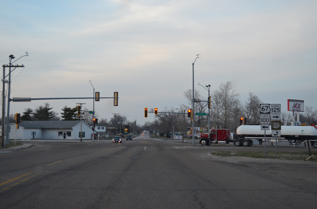
A commercialized intersection represents the west end of IL 125, a 38 mile route east from Beardstown to IL 97 outside Springfield.
04/05/13
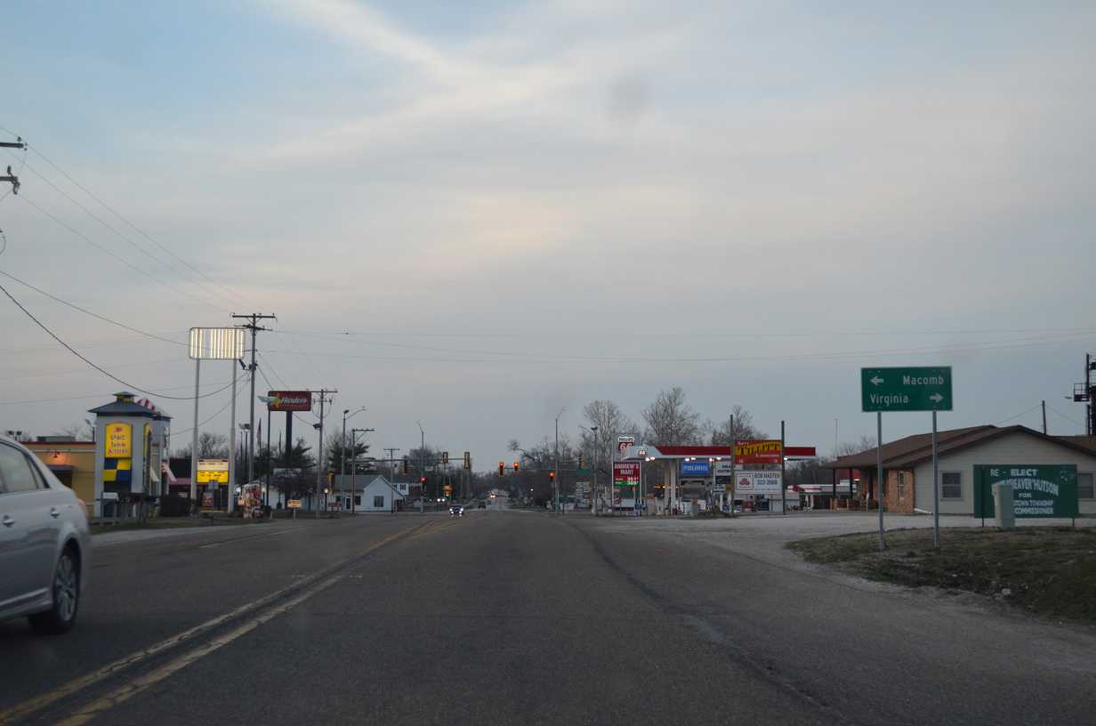
U.S. 67/IL 100 turn west to circumvent the Beardstown street grid while IL 125 bypasses the city to the south en route to Virginia.
04/05/13
Grand Avenue extends north from U.S. 67/IL 100 into the city as part of the Illinois River Road system. IL 125 east reaches the County east of Virginia in 13 miles.
04/05/13
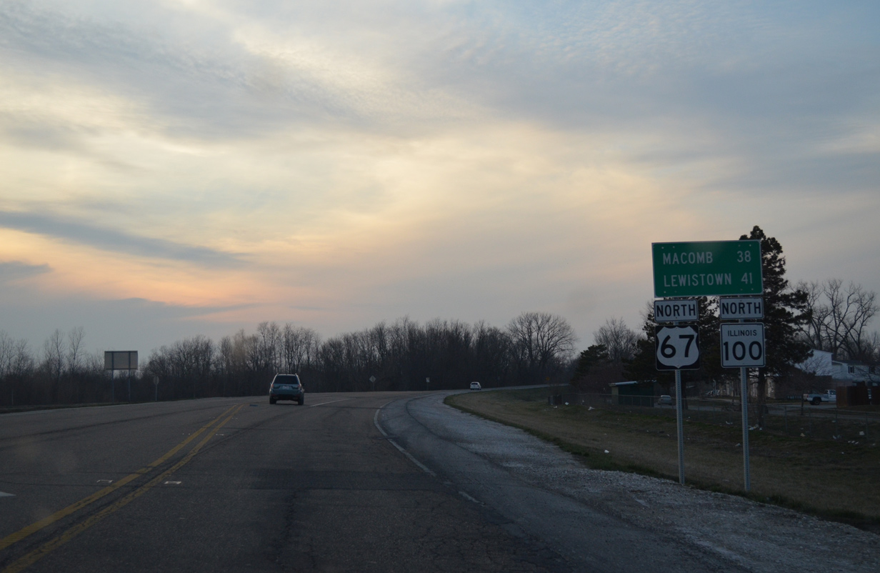
Macomb, 38 miles to the north in McDonough County, replaces Rushville as the next control city for U.S. 67/IL 100 north. Lewistown, seat of Fulton County, is the destination of IL 100 beyond Beardstown.
04/05/13
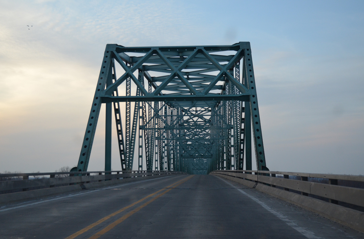
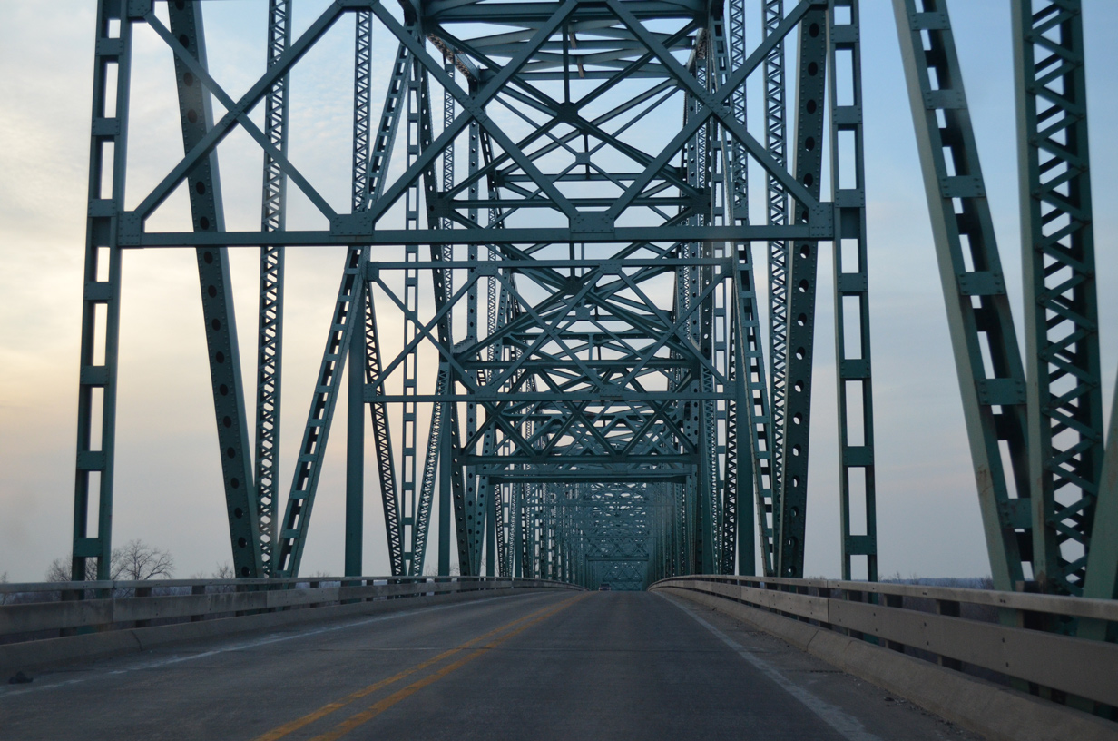
Known as the Beardstown Bridge, U.S. 67/IL 100 cross the Illinois River along a through truss bridge built in 1955.1
04/05/13
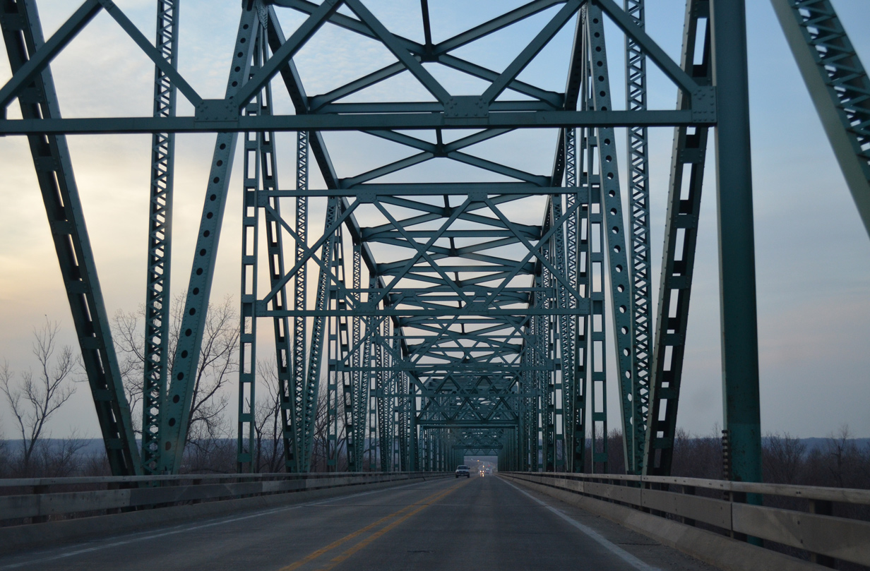
The Beardstown Bridge runs 3,623 feet in length with a deck of 27.8 feet and at a height of nearly 50 feet above the Illinois River.1
04/05/13
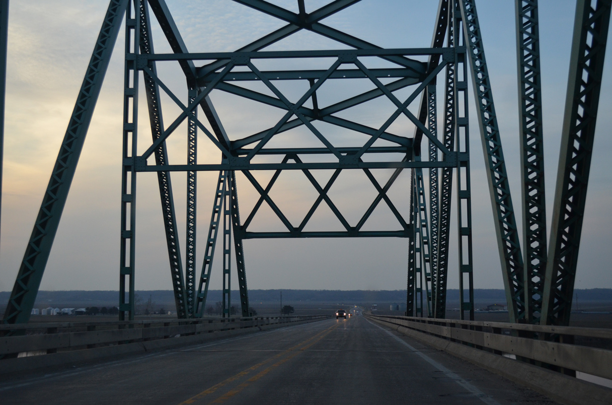
Lowering from the Beardstown Bridge on U.S. 67/IL 100 north into Schuyler County.
A replacement bridge across the Illinois River is incorporated in the overall improvement planned for the U.S. 67 corridor between Alton and the Quad Cities. Future work will construct a new 5.3 mile alignment for U.S. 67 for the new bridge, tying into the U.S. 67 expressway leading east from Beardstown to Jacksonville.
04/05/13
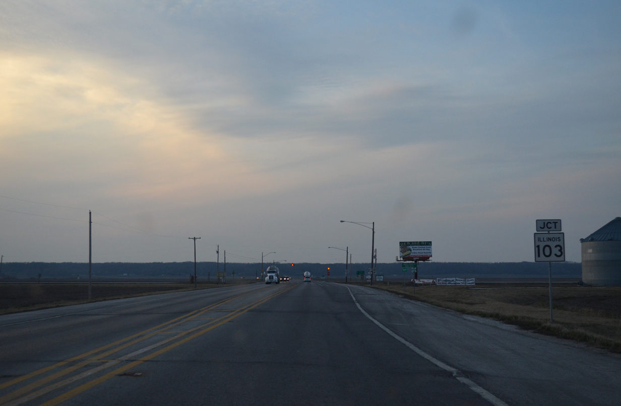
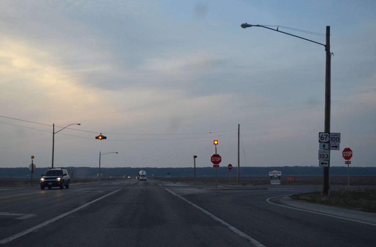
Beyond the levee holding back Curry Lake, U.S. 67/IL 100 part ways at IL 103.
04/05/13
IL 100 turns east to parallel the Illinois River north to Frederick, Browning and U.S. 136, west of Havana.
04/05/13
IL 103 runs west 9.1 miles to connect U.S. 67 with U.S. 24 ahead of Mount Sterling.
04/05/13
The 16 mile overlap of IL 100 north with U.S. 67 concludes. The state route north overlaps with portions of U.S. 24 and 136 before ending a 132 mile course at IL 78, south of Canton.
04/05/13
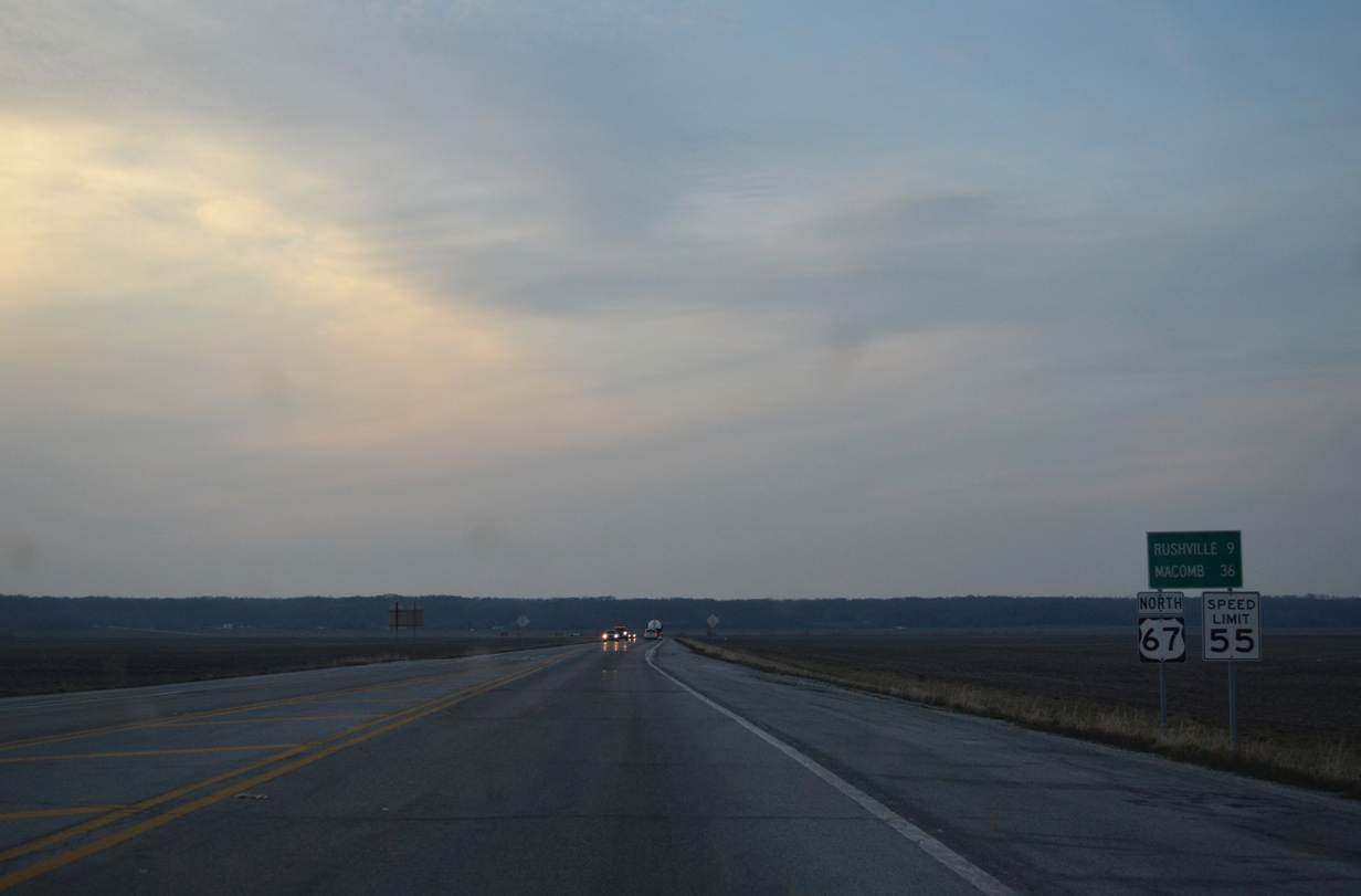
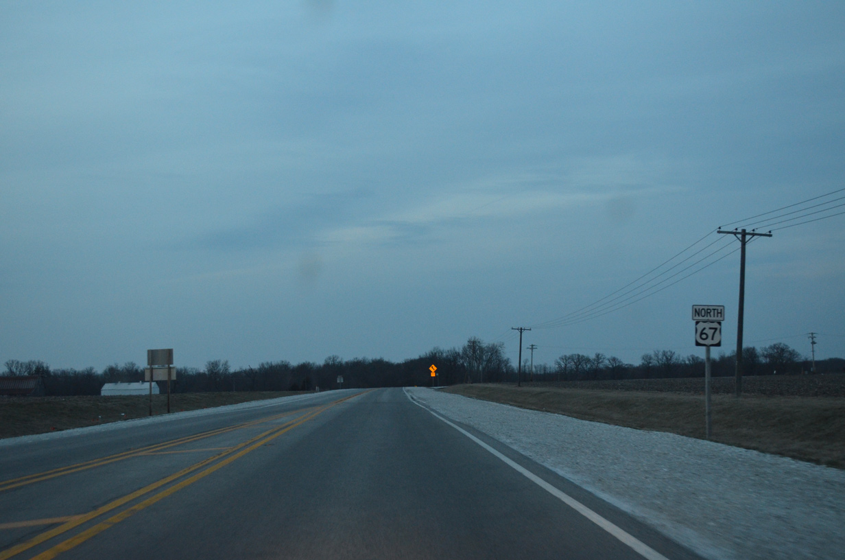
Bluffs rising to the northwest of the Illinois River flood plain appear as U.S. 67 travels solo nine miles to Rushville.
04/05/13
North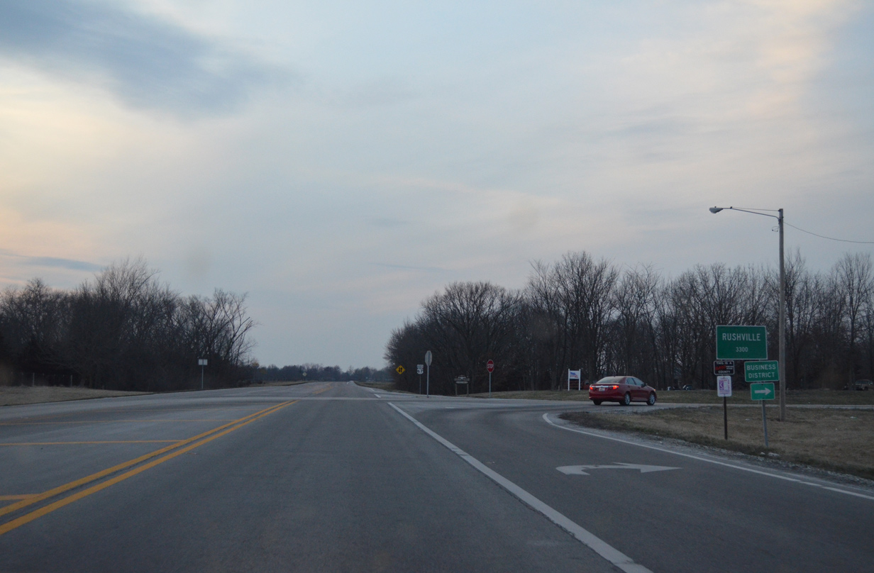
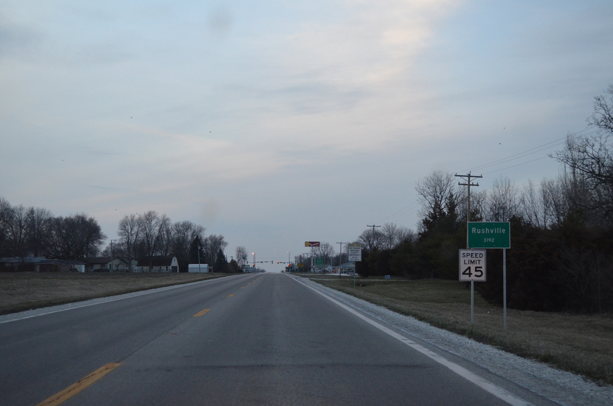
Outside of Rushville, U.S. 67 meets County Road 1 north to Liberty Street and the city business district.
04/05/13

U.S. 67 enters western reaches of the Rushville city limits to the junction with U.S. 24.
04/05/13
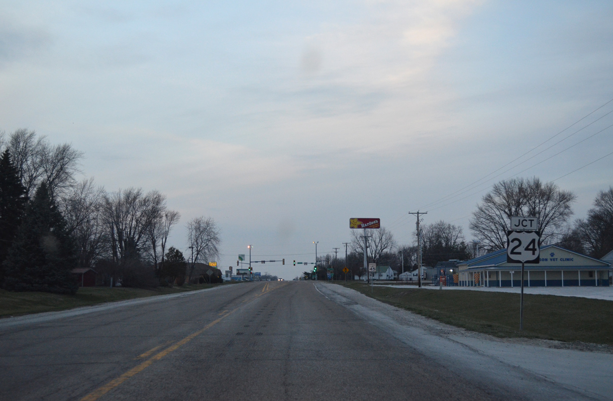
U.S. 24 arcs northeast 14 miles from the Brown County seat of Mt. Sterling to enter the west side of Rushville.
04/05/13
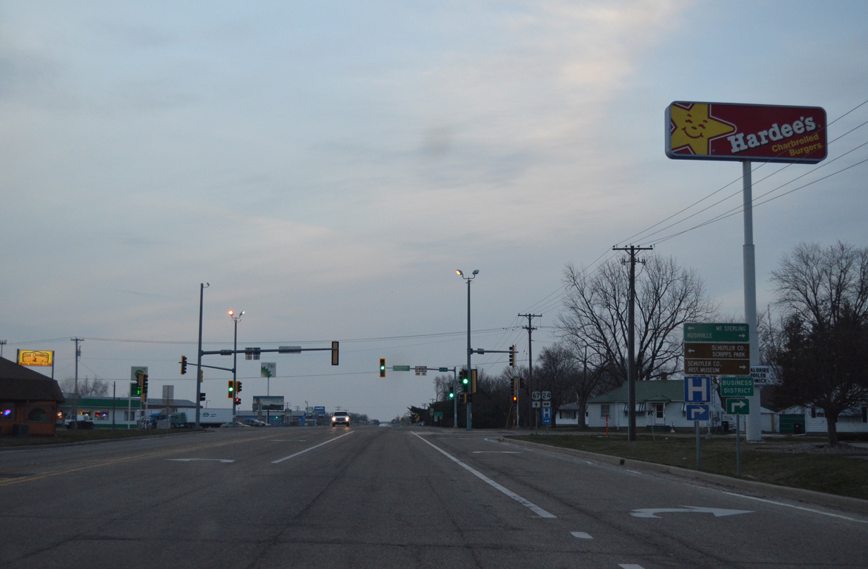
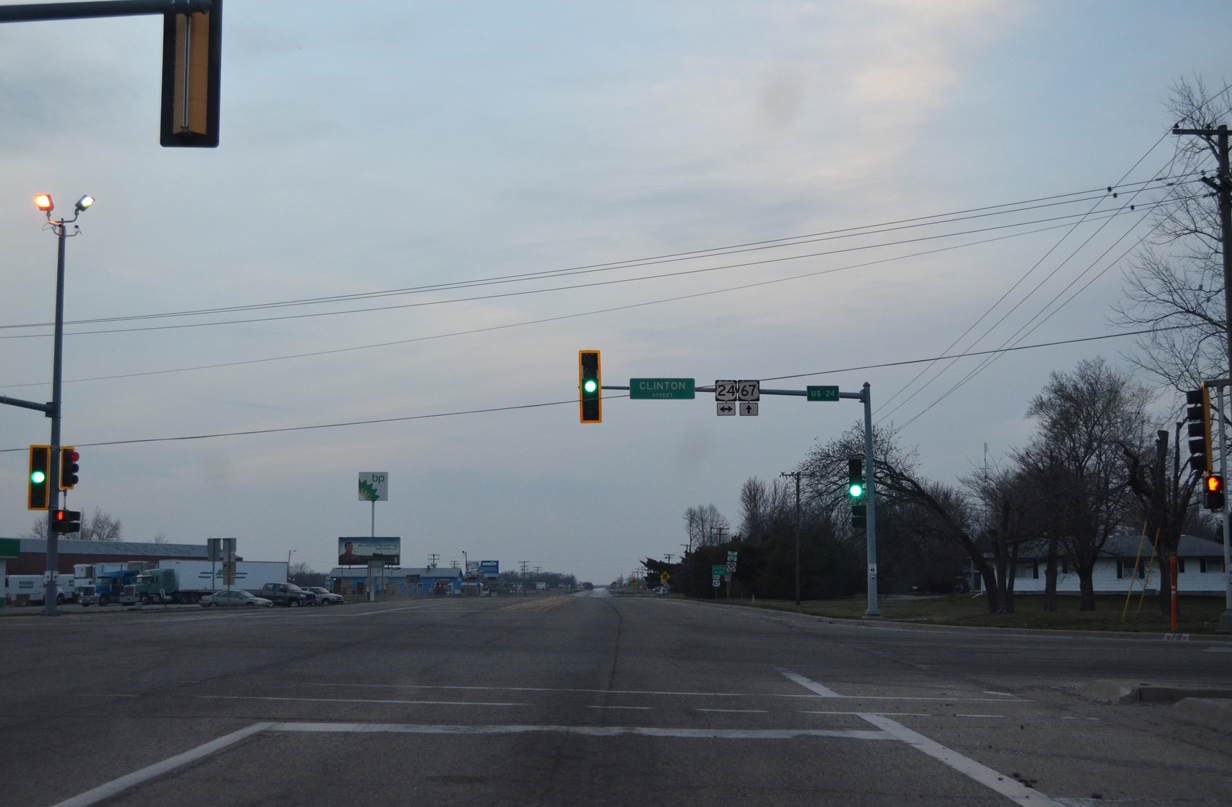
East from U.S. 67, U.S. 24 lines Clinton Street to Congress Street north through Downtown Rushville.
04/05/13
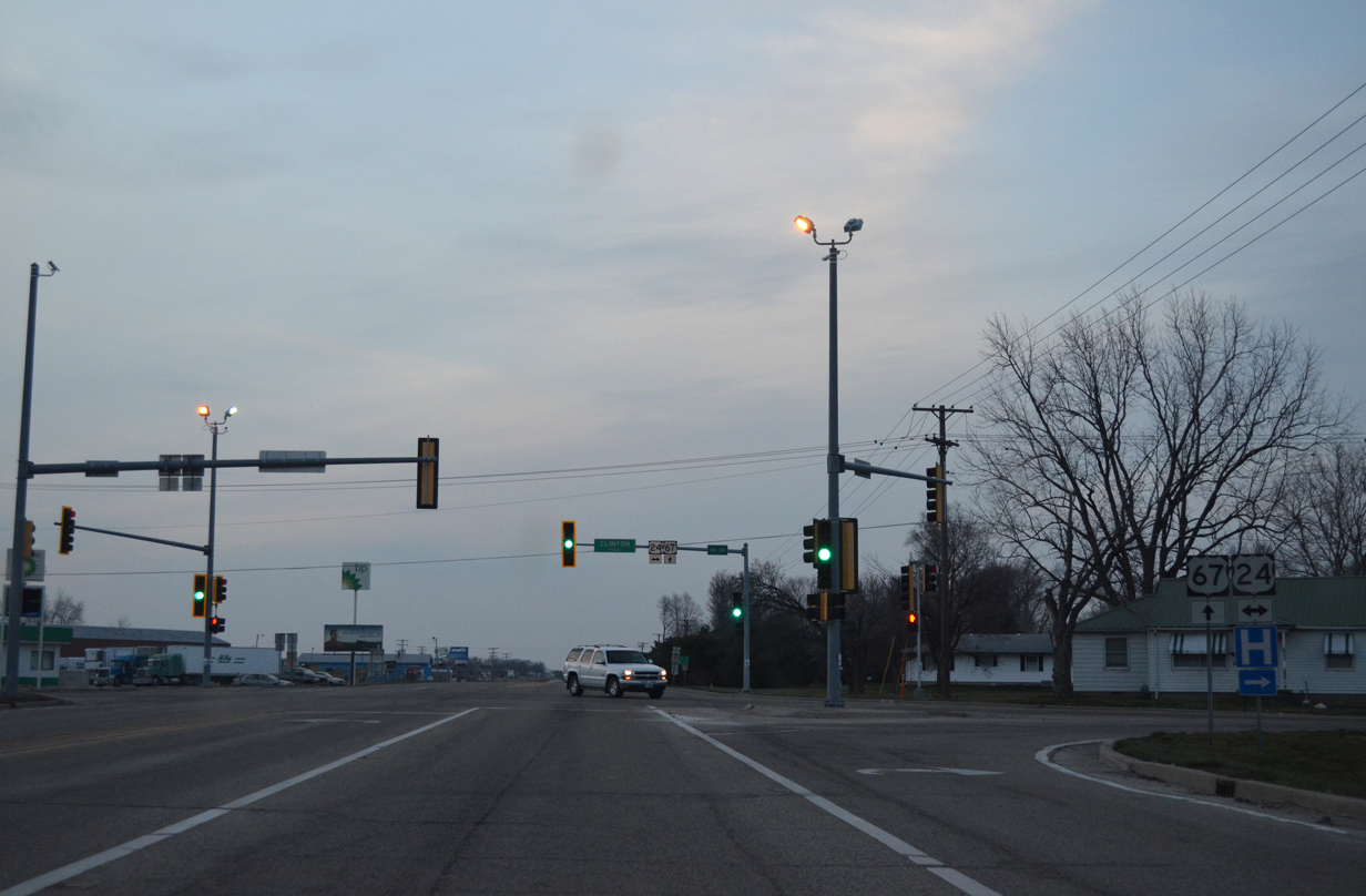
Entering the signalized intersection with U.S. 24 (Clinton Street) on U.S. 67 north. U.S. 24 runs 225 miles across the Land of Lincoln between Quincy and Sheldon.
04/05/13
U.S. 24 mirrors the Illinois River northeast from Rushville to Peoria.
04/05/13

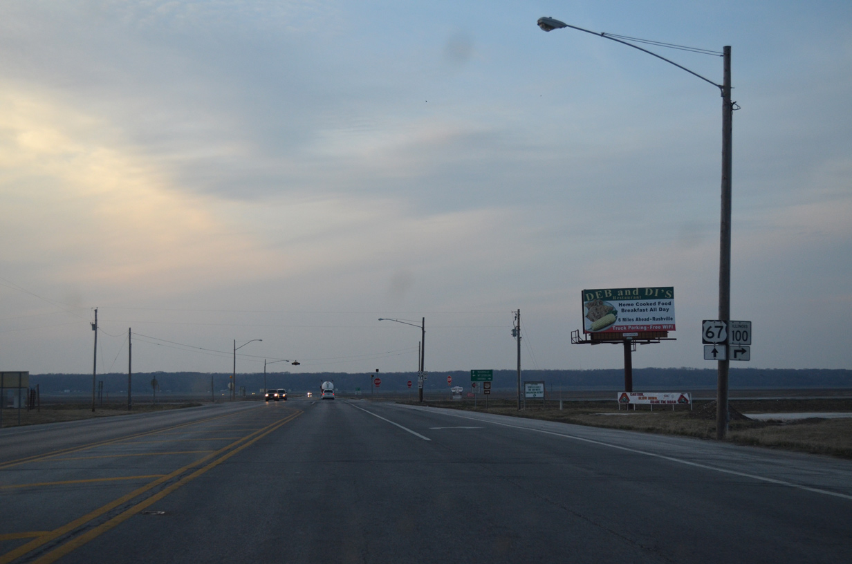
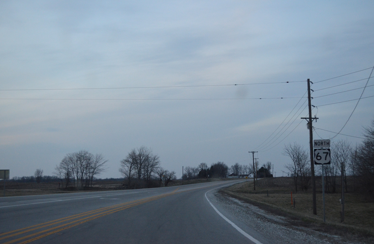
Macomb is the next major population center along U.S. 67 north in 27 miles. An uninterrupted stretch otherwise ensues from Rushville to IL 101 west.
04/05/13
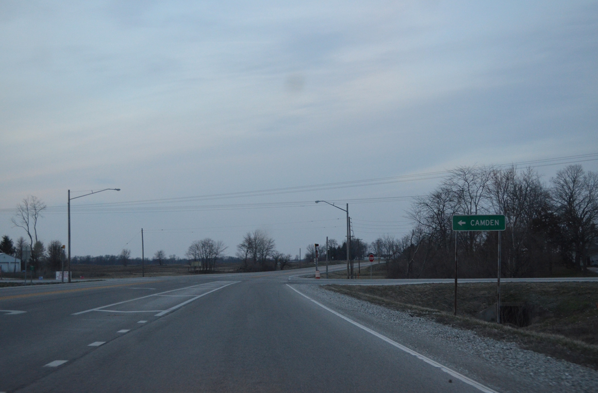
Camden Road (County Road 5) heads west from Tullis Road (former U.S. 67) to Erwin and IL 99 near the village of Camden.
04/05/13
U.S. 67 plies across farm land another six miles to IL 101 west.
04/05/13
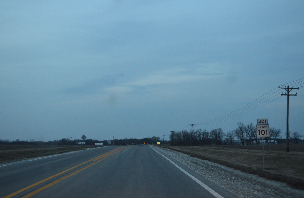
IL 101 connects U.S. 67 with the nearby village of Littleton just to the west.
04/05/13
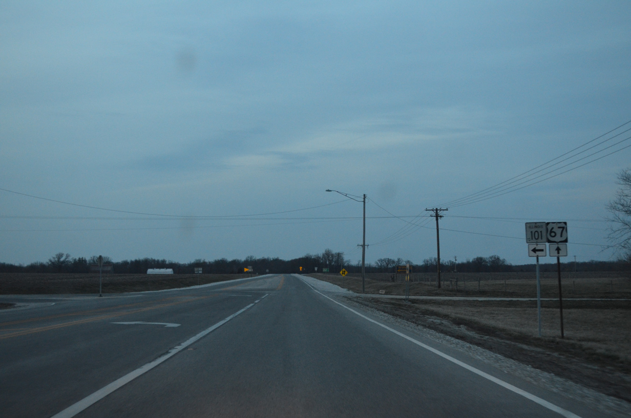
Totaling 19.4 miles, IL 101 runs west from Littleton to Brooklyn, Weinberg King State Park and Augusta to end at IL 61 within the village of Augusta.
04/05/13
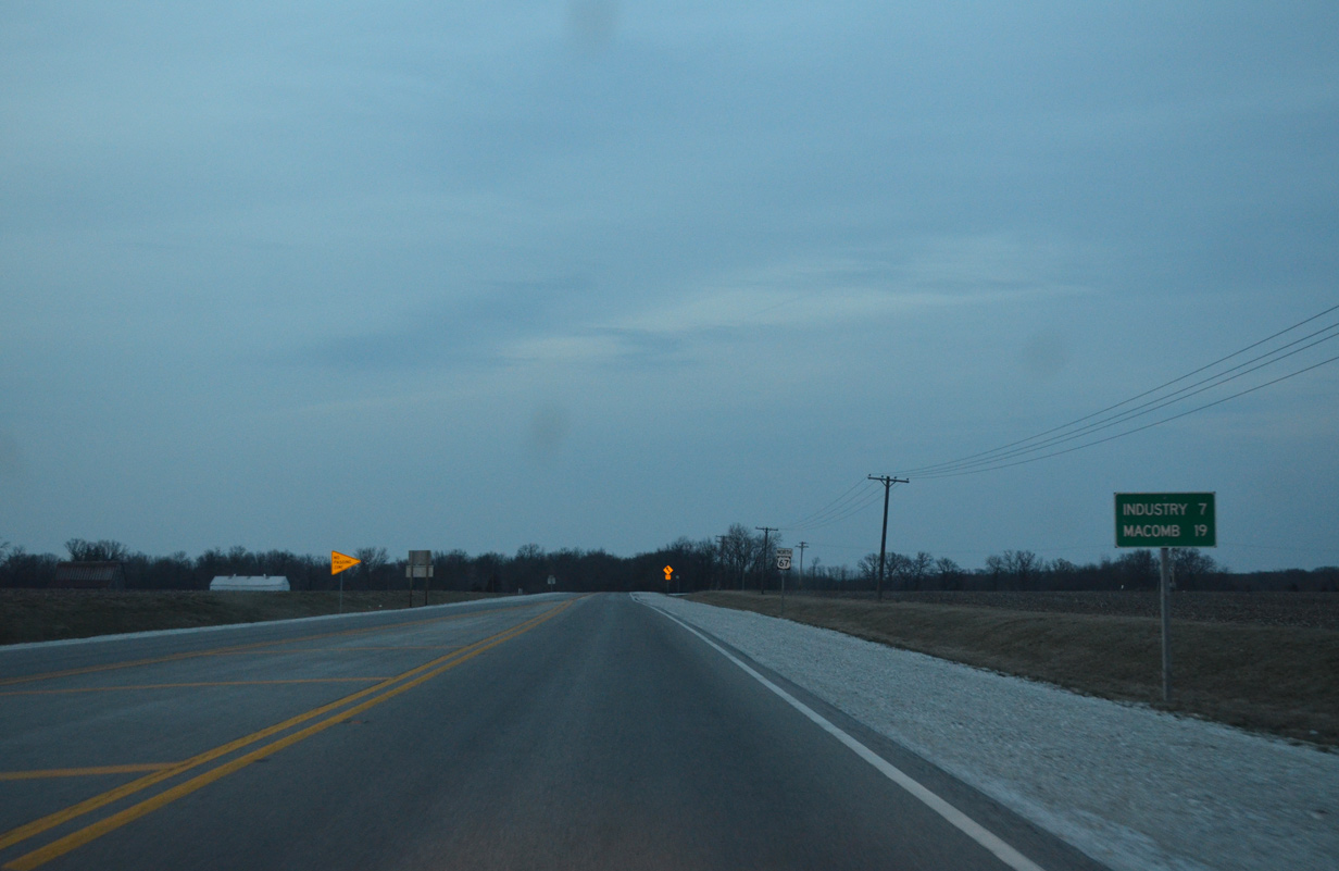
Macomb is now 19 miles to the north, with U.S. 67 travelers reaching the village of Industry in seven miles.
04/05/13
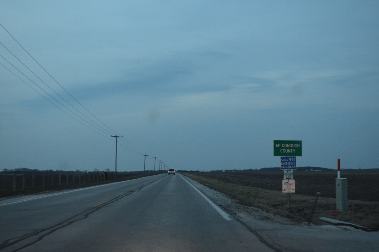
U.S. 67 shifts a half mile west through a series of hilly curves to arrive at the McDonough County line.
04/05/13
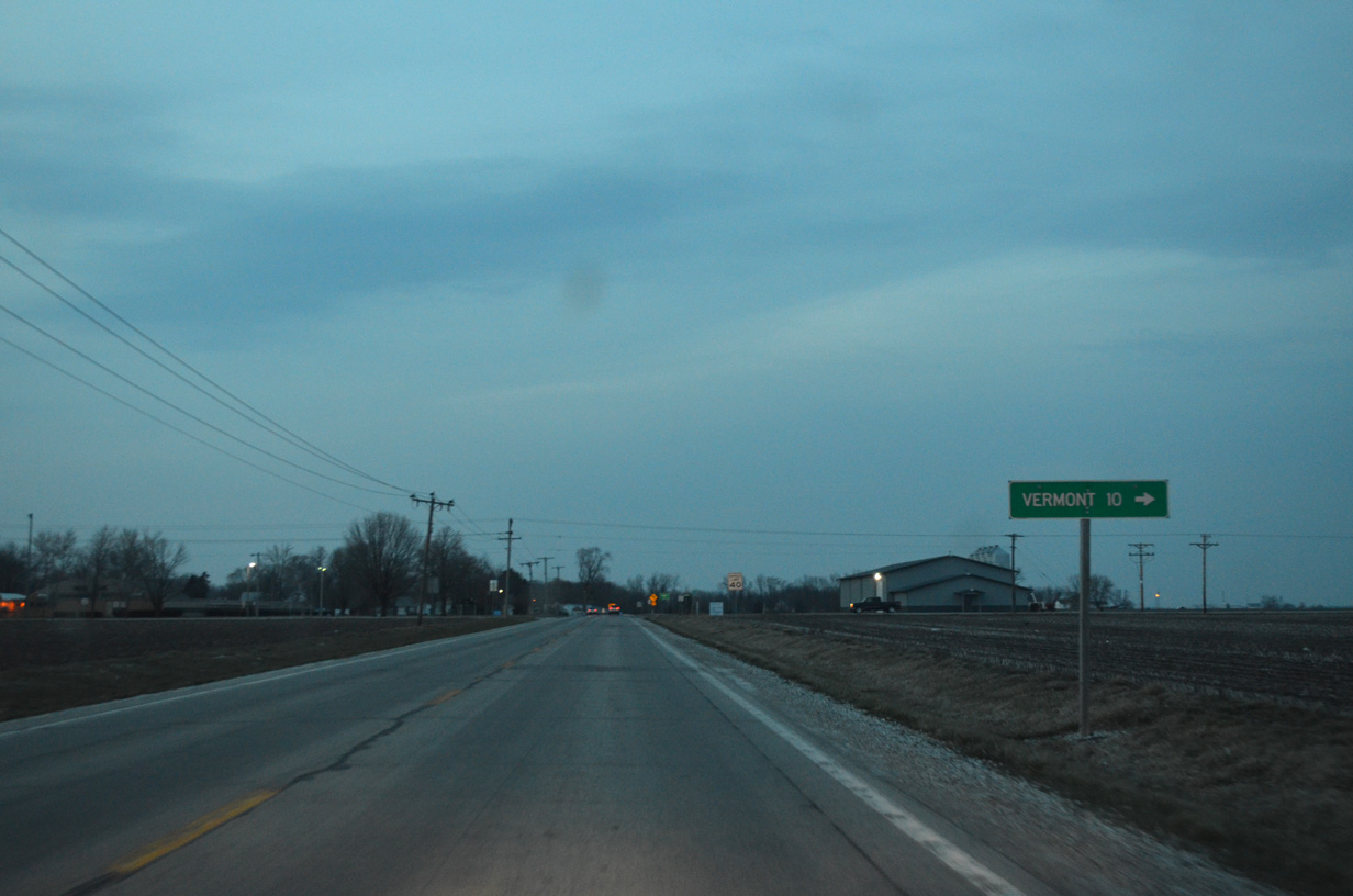
County Road 9 (North 300th Road) travels east from U.S. 67, 9.5 miles to the village of Vermont (as Fulton County 36).
04/05/13
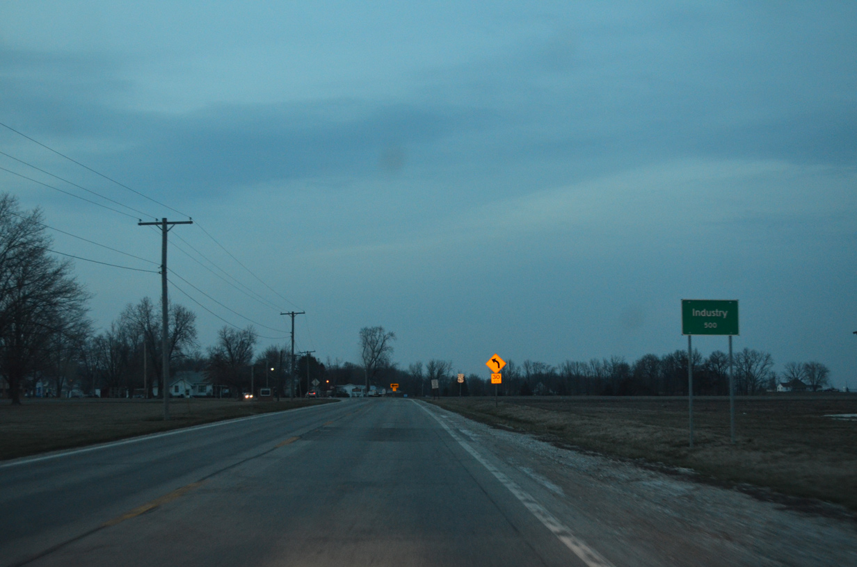
U.S. 67 bisects the village of Industry from County Road 9 to Grindstone Creek.
04/05/13
Curving west, U.S. 67 lines Main Street through the street grid of Industry.
04/05/13
Leaving Industry after the intersection with North 350th Street.
04/05/13
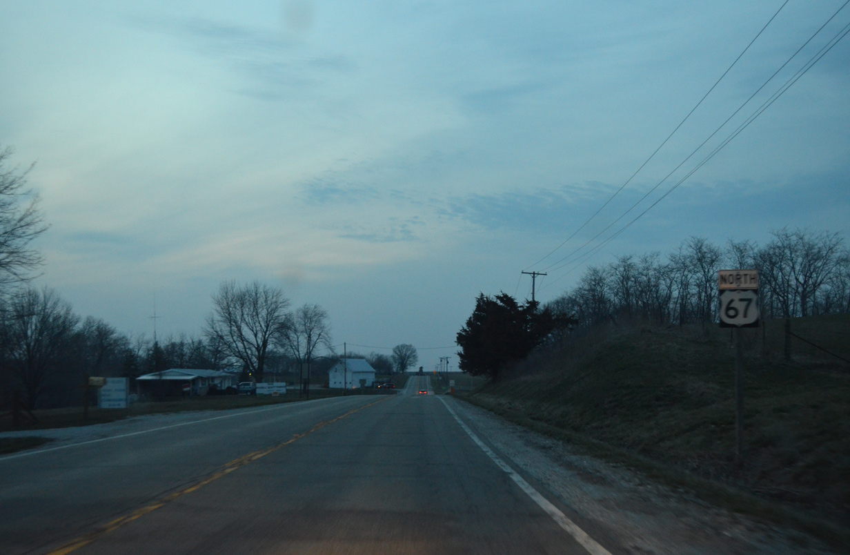
U.S. 67 resumes a northward heading to cross Camp Creek ahead of County Road 22 (North 700th Road) west to Fandon before this shield assembly.
04/05/13
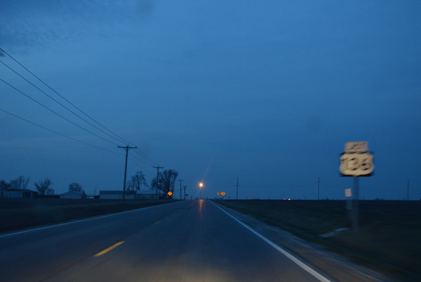
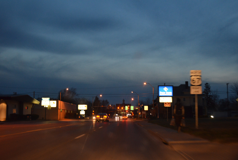
Five miles north of CR 22, U.S. 67 approaches U.S. 136 on the outskirts of Macomb.
04/05/13
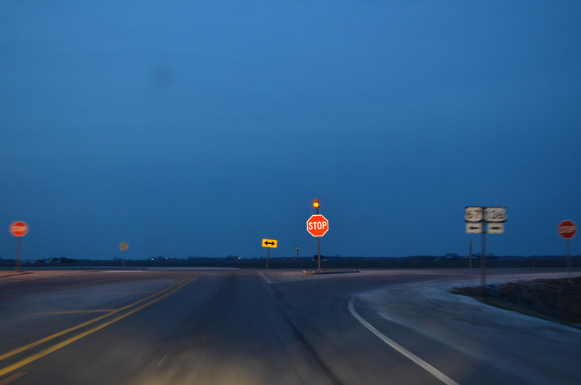
U.S. 136 travels a rural route east six miles to IL 41 north and a southward turn to Adair.
04/05/13
North  West
West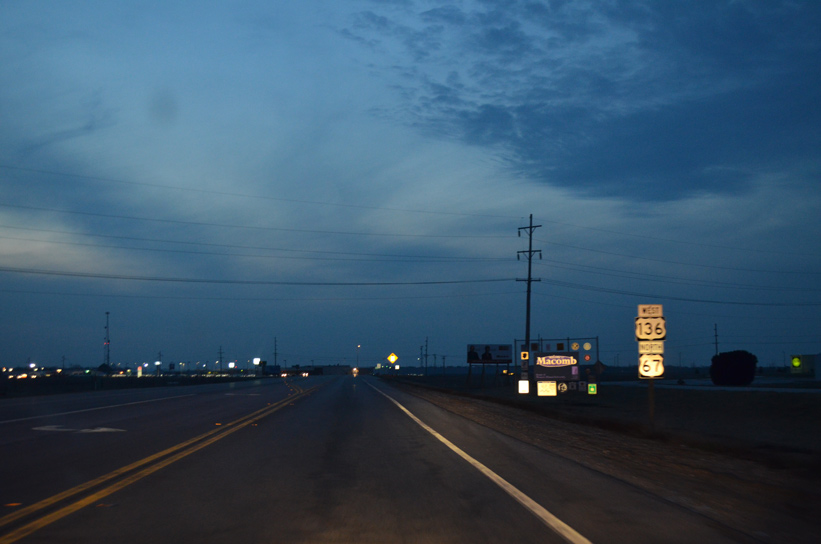
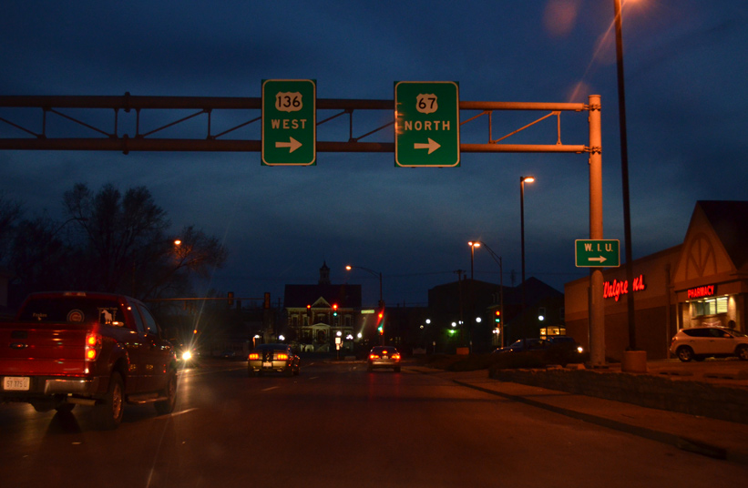
U.S. 67 north and U.S. 136 west combine for three miles to Downtown Macomb.
04/05/13

Angling northwest, U.S. 67/136 join Jackson Street west into the city limits of Macomb.
04/05/13
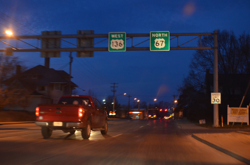
Two blocks ahead of Courthouse Square, U.S. 67/136 continue onto Campbell Street to encircle Downtown Macomb.
04/05/13
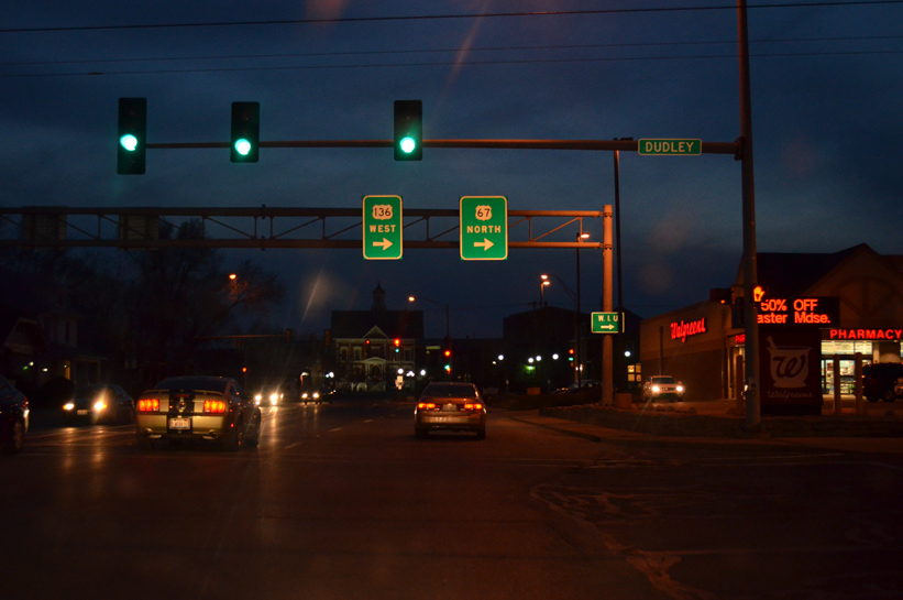
Westbound Jackson Street (U.S. 67/136) at Dudley Street.
04/05/13
A set of overheads direct motorists onto Campbell Street north for two blocks to Calhoun Street west.
04/05/13
Campbell Street expands to four lanes to accommodate U.S. 67/136 between Jackson and Calhoun Streets.
04/05/13
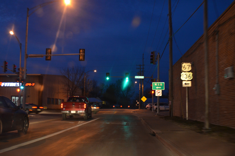
Calhoun Street takes U.S. 67 /136 west two blocks to their separation at Lafayette Street.
04/05/13
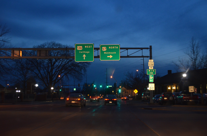
U.S. 136 stays straight across Lafayette Street to combine with IL 110 southwest back to Jackson Street and an exit of the city to Colchester and Carthage. U.S. 67 turns north alongside IL 110 to Western Illinois University and Monmouth.
04/05/13


References:
- Beardstown Bridge. http://bridgehunter.com/il/cass/beardstown/ Bridgehunter.com.
Photo Credits:
- ABRoads: 05/07/10
- AARoads: 04/05/13
Page Updated Wednesday December 17, 2014.