
U.S. 67 North - Davenport to Le Claire
 North
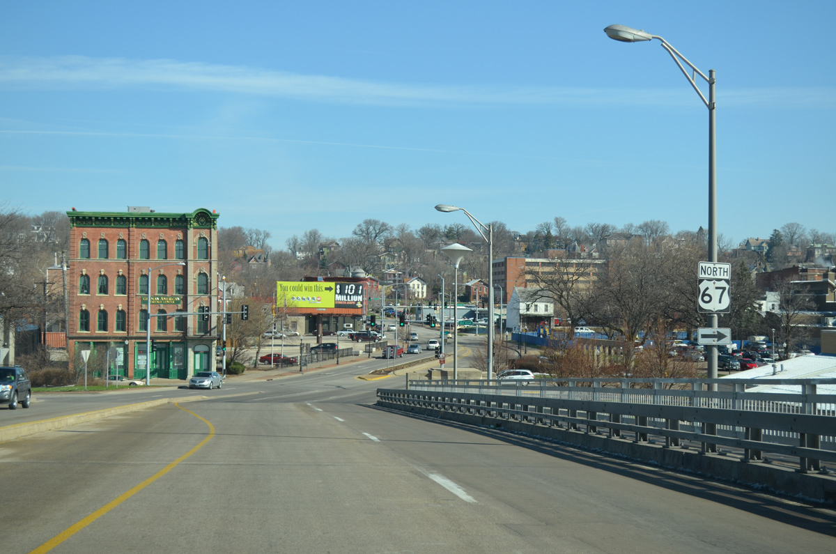
North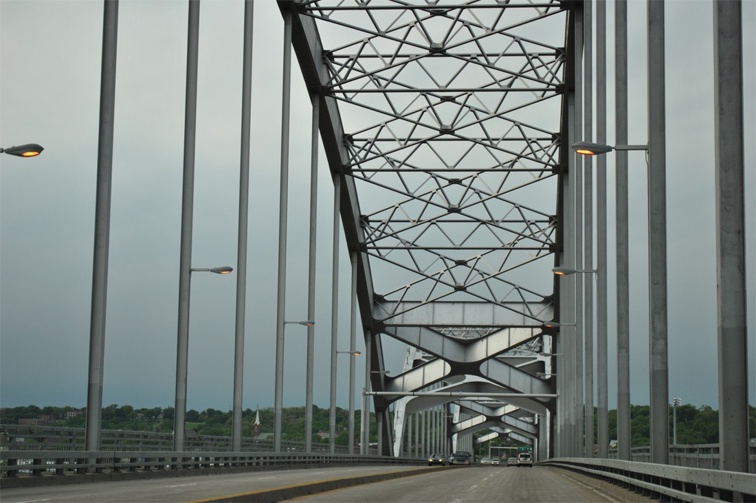
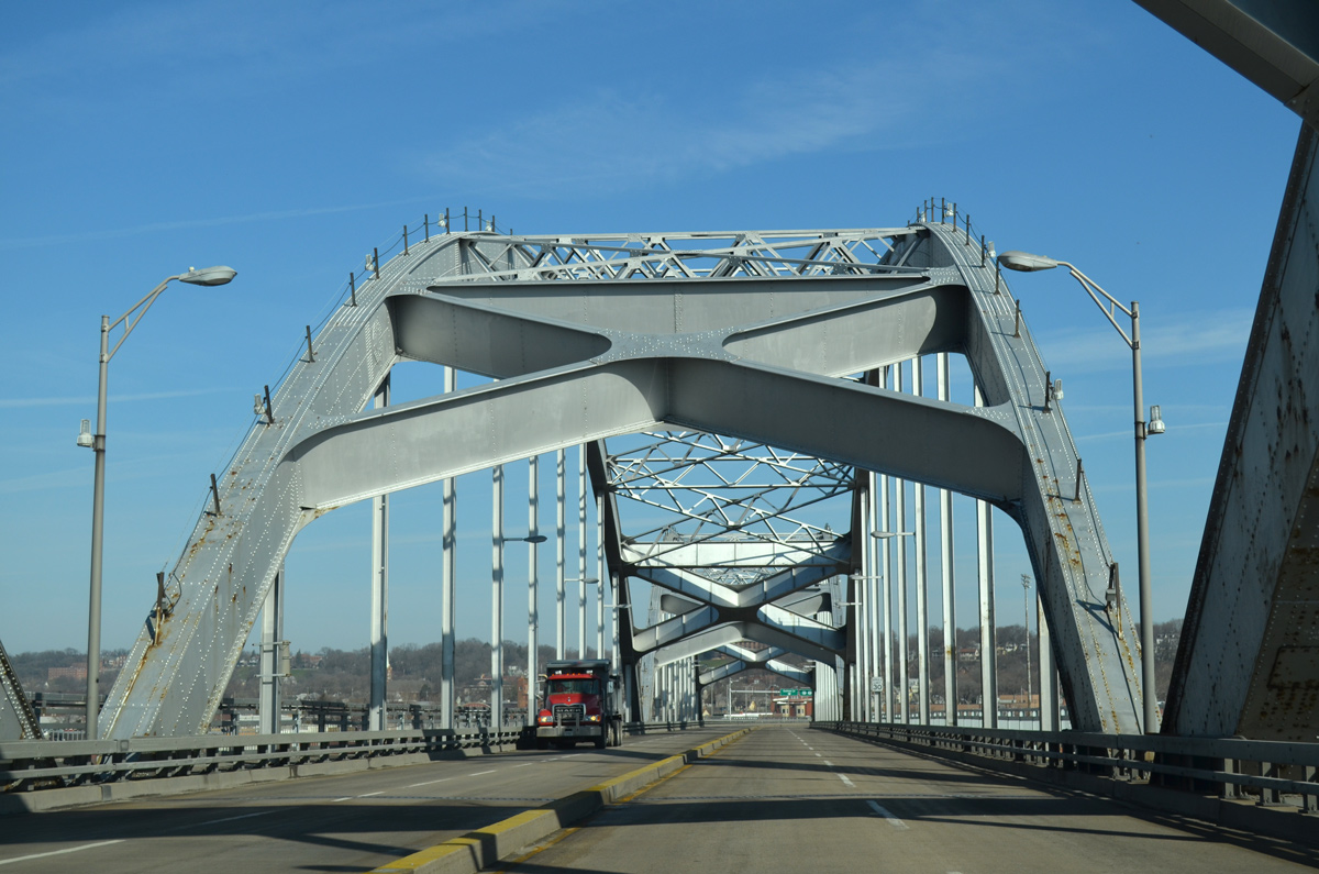
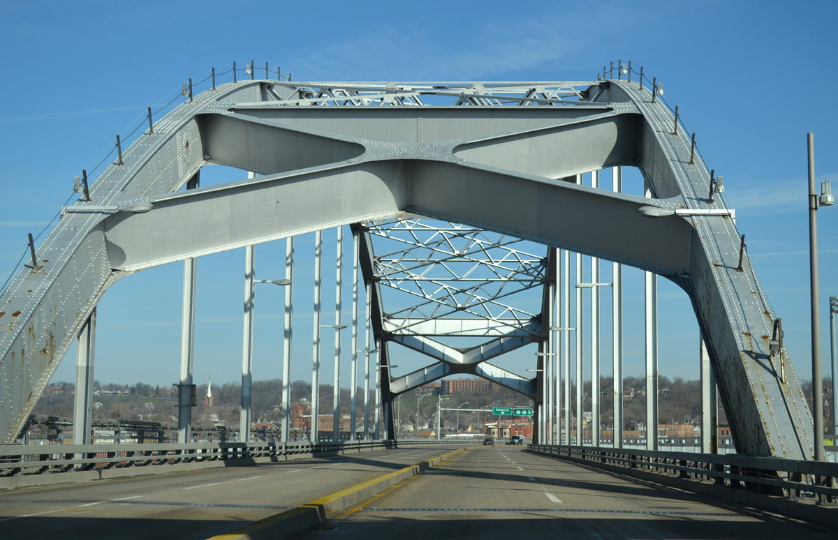
Continuing north from the Illinois state line along the Centennial Bridge. Pedestrian walkways line both sides of the four lane span as the steel arch bridge links Rock Island, IL and Downtown Davenport, IA.
05/29/11
03/25/16
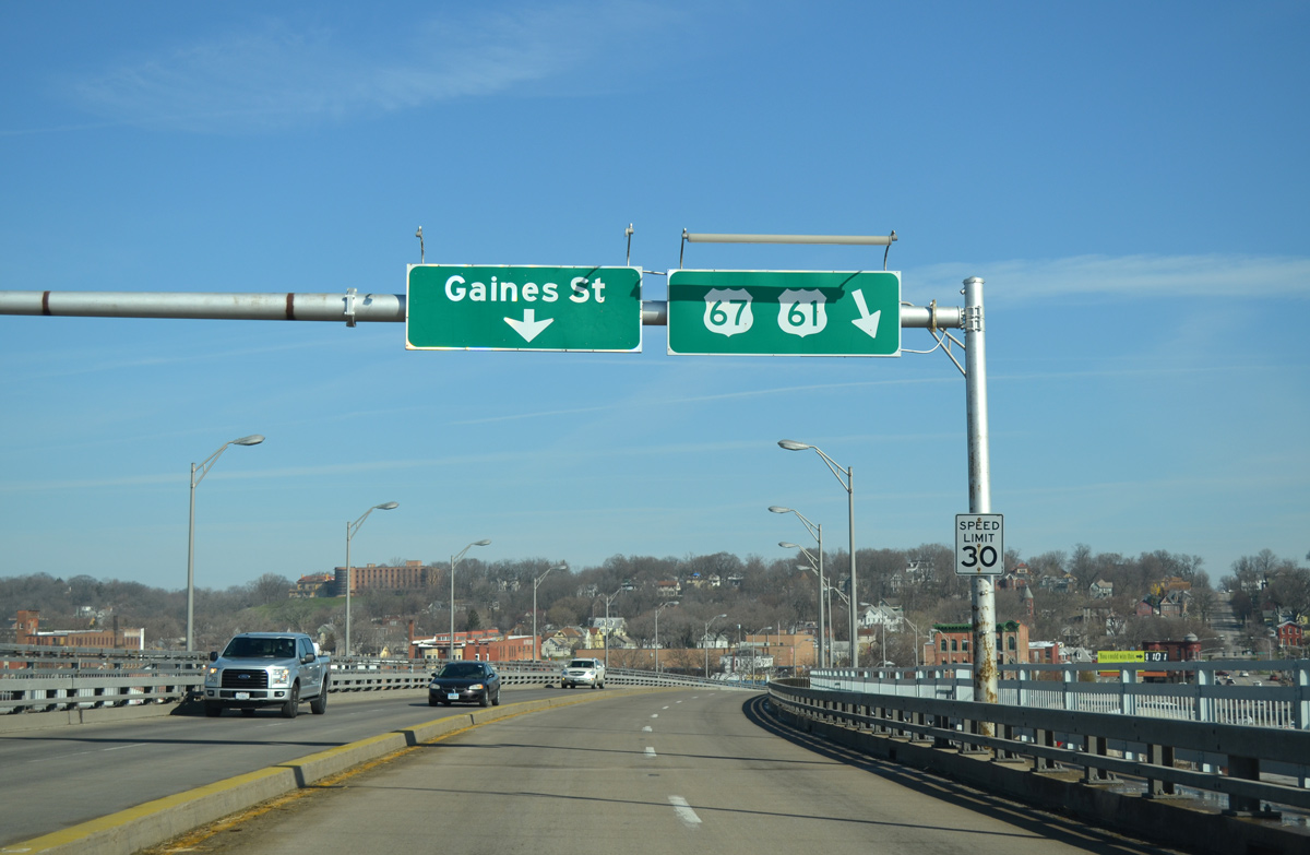
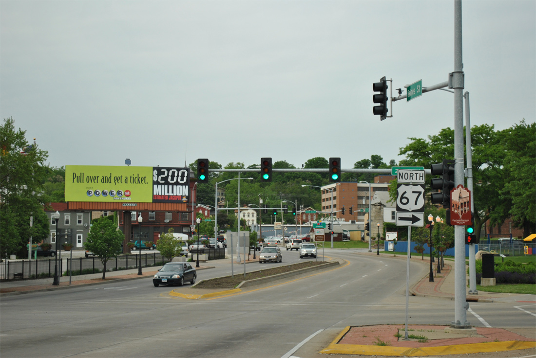
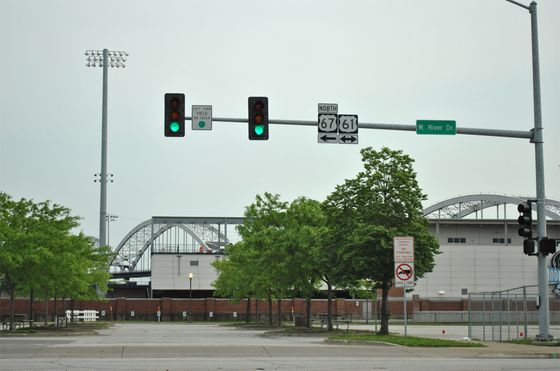
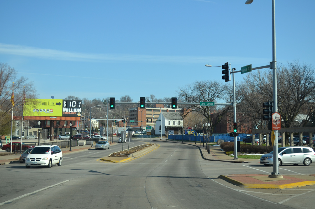
U.S. 67 lowers from the Centennial Bridge onto Gaines Street, where the northbound route turns east onto 2nd Street to meet U.S. 61 Business on West River Drive.
03/25/16
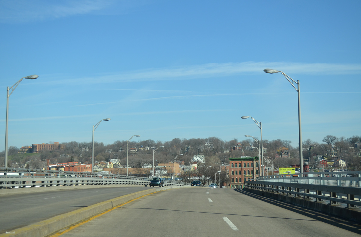
Downtown Davenport occupies a low lying area adjacent to the west (north) banks of the Mississippi River. The residential street grid commences north of 5th Street on a forested hill.
03/25/16
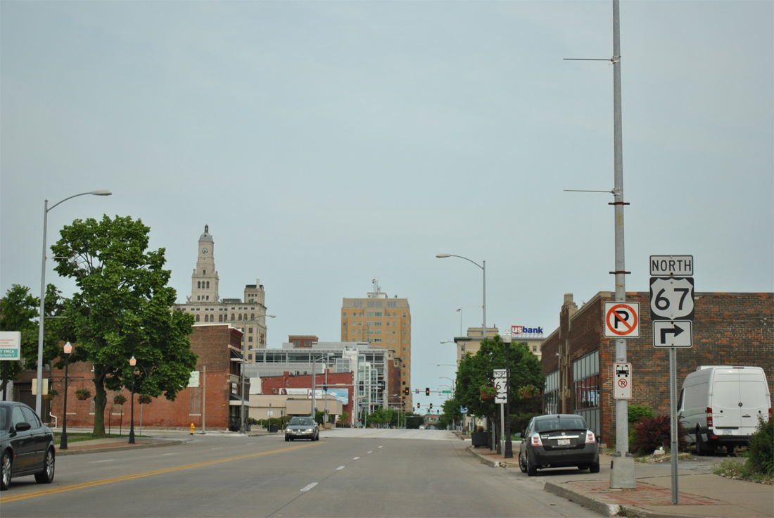
Gaines Street leads north from the Centennial Bridge to Central Park Avenue as U.S. 67 turns east onto 2nd Street.
03/25/16
Gaines Street leads north from the Centennial Bridge to Central Park Avenue as U.S. 67 turns east onto 2nd Street.
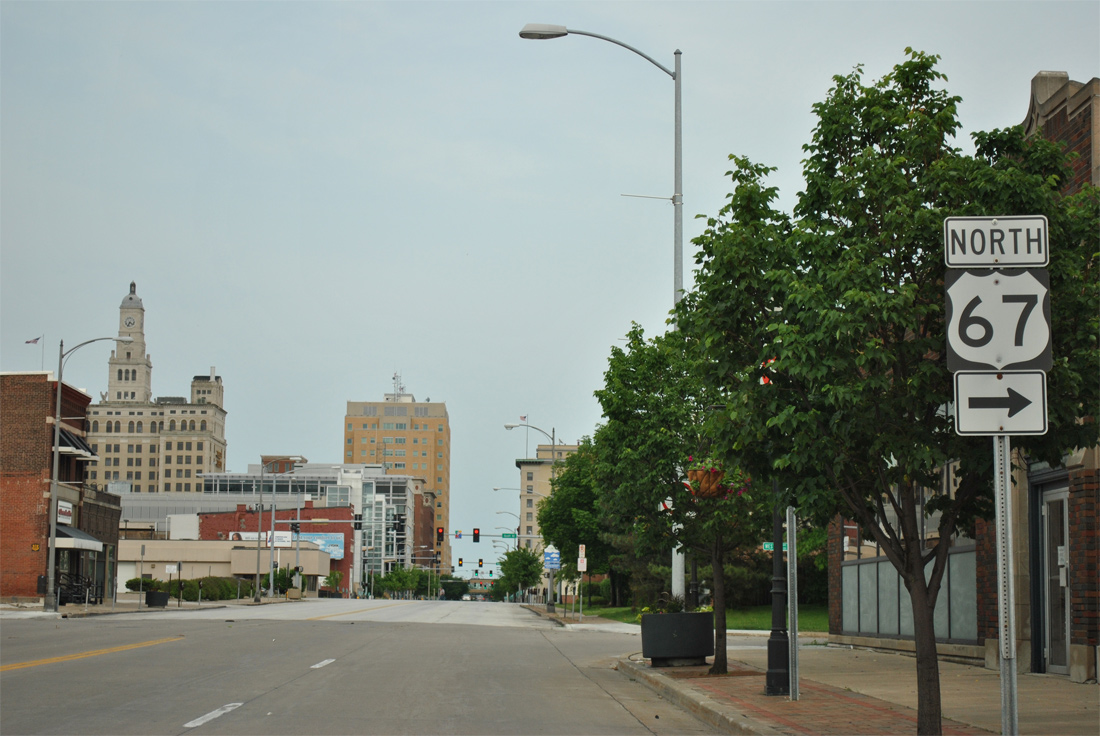
The U.S. 67 marker at West 2nd Street was removed by 2015.
05/29/11
03/25/16
2nd Street carries U.S. 67 one block east to Western Avenue.
05/29/11
Eastbound 2nd Street at Western Avenue, which leads U.S. 67 east one block south to West River Drive.
05/29/11
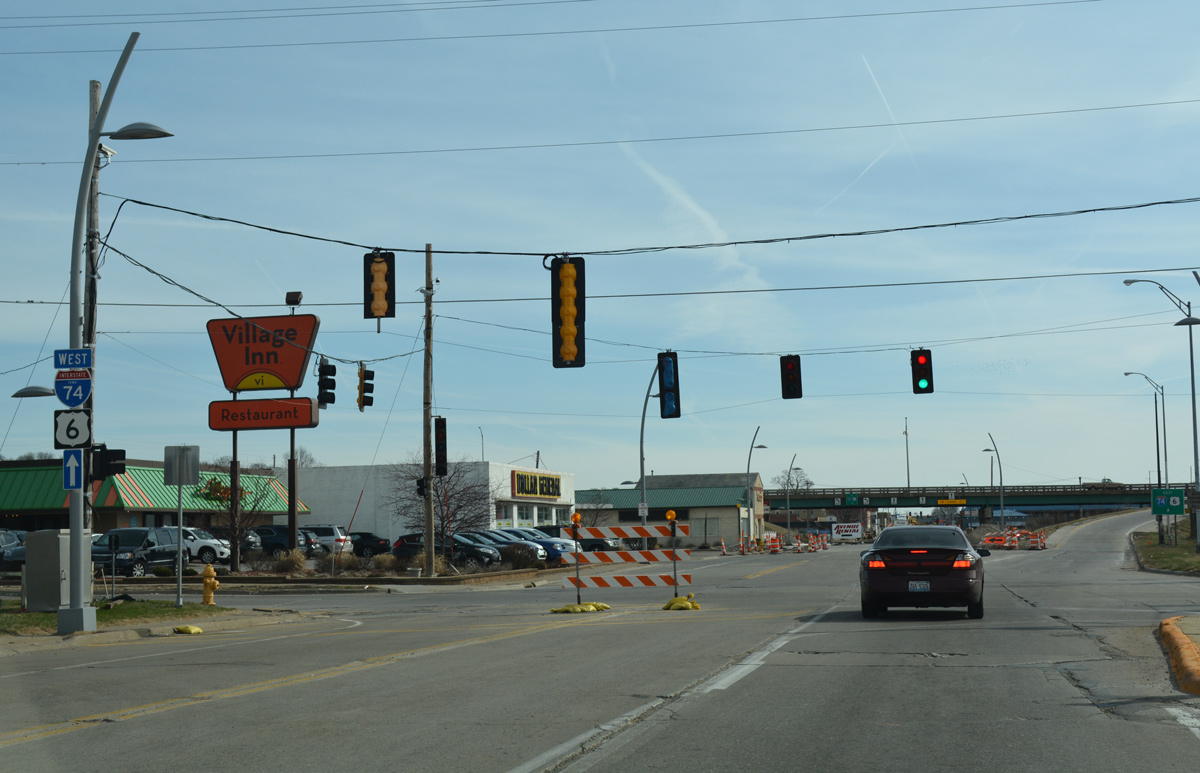
Facing south, U.S. 67 east joins U.S. 61 Business along W River Drive. U.S. 61 Business follows W River Drive to Iowa 22 in southwest Davenport.
05/29/11
 North
North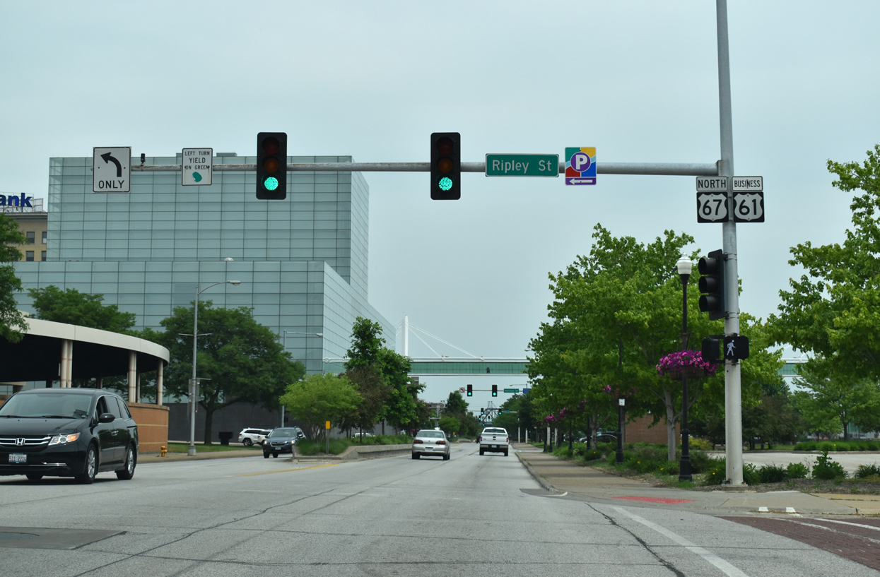
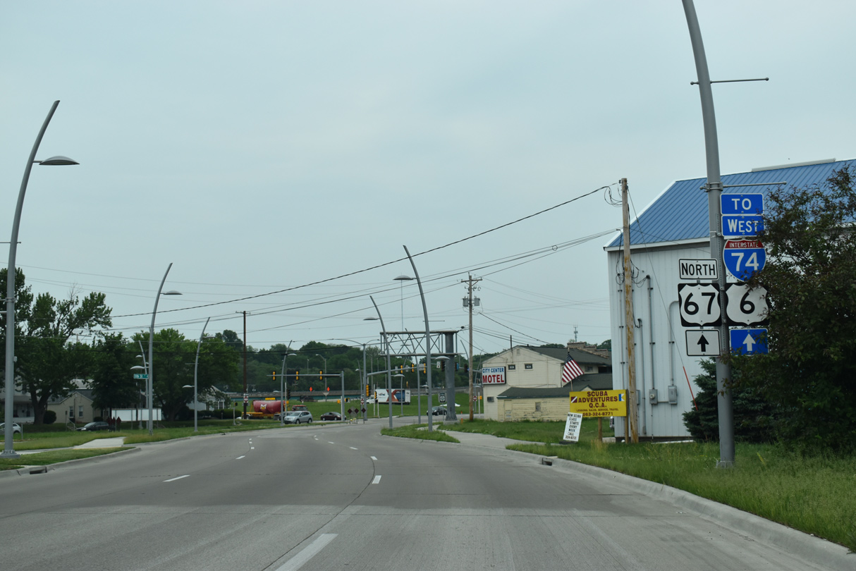
U.S. 67/61 Business north intersect Ripley Street by Eastern Iowa Community College and LeClaire Park. U.S. 61 Business was designated in 2010 as the U.S. 61 mainline shifted to bypass Davenport via I-280 and I-80. Sign changes were made by September 2011.
05/29/18
Main Street separates Harrison and Brady Streets (U.S. 61 Business) through Downtown.
05/29/18
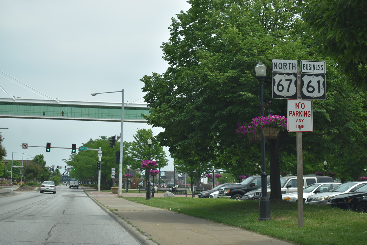
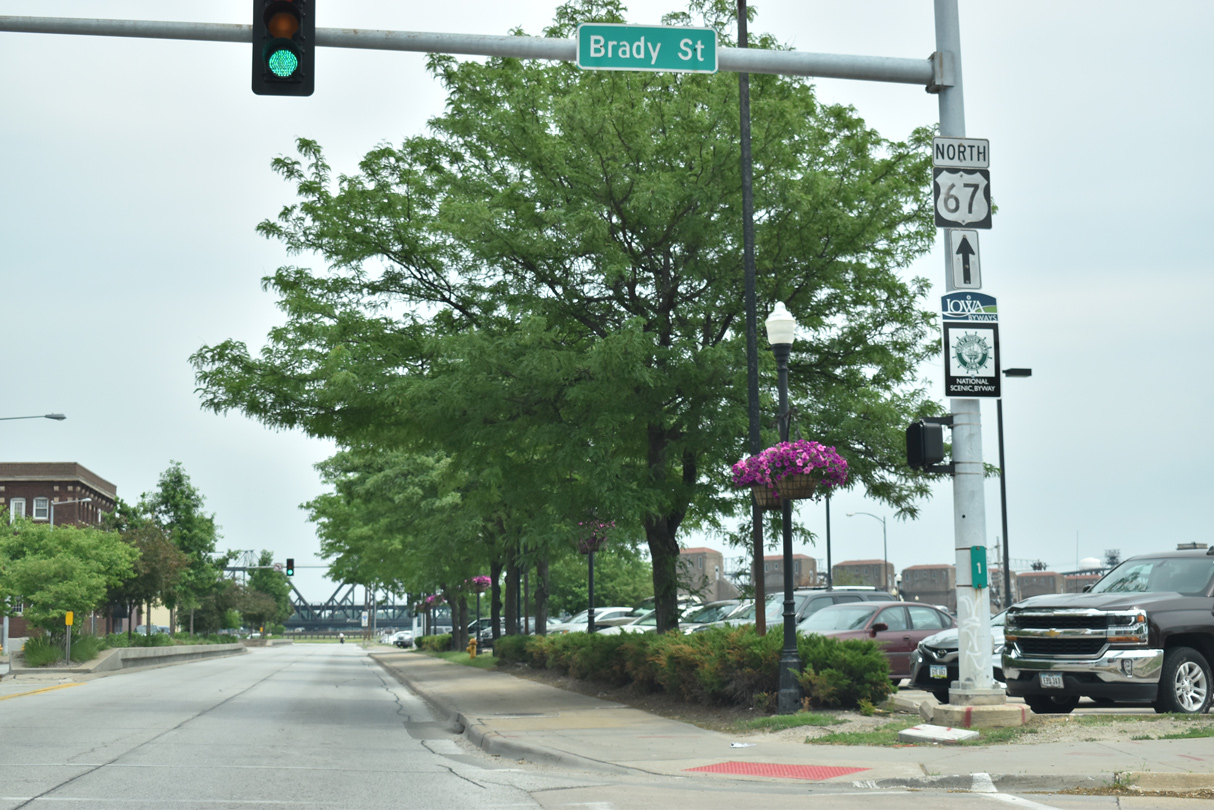
An enclosed pedestrian bridge spans E River Drive to LeClaire Park, where the Rhythm City Casino was previously docked on the Mississippi River. U.S. 61 Business turns northward onto Brady Street ahead.
05/29/18

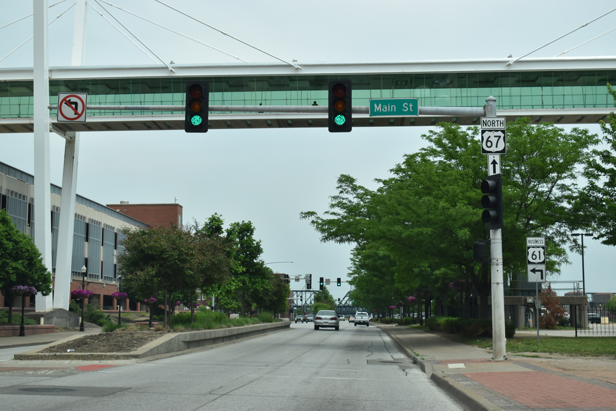
U.S. 61 Business leaves U.S. 67 northbound for Brady Street north to Interstate 80, where U.S. 61 takes over en route to Eldridge and De Witt.
05/29/18
North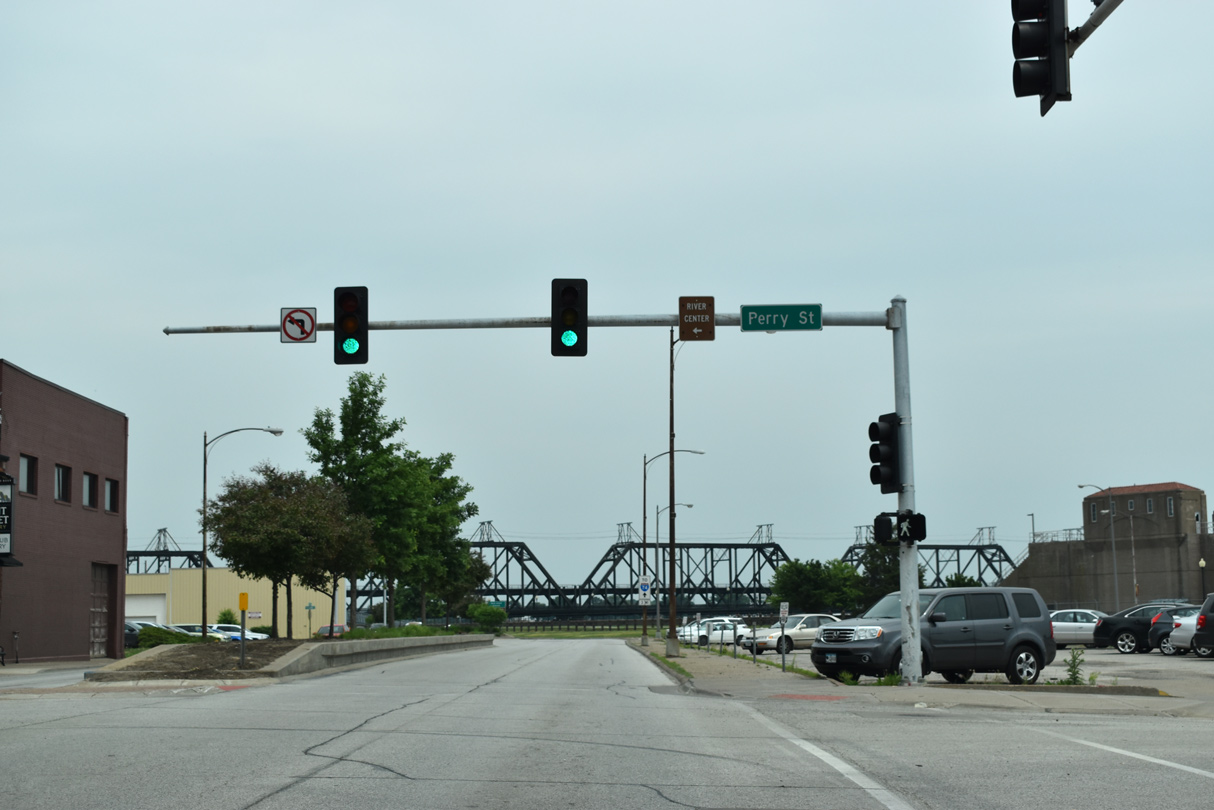
Perry Street connects U.S. 67 (E River Drive) with 2nd Street and the RiverCenter to the north.
05/29/18
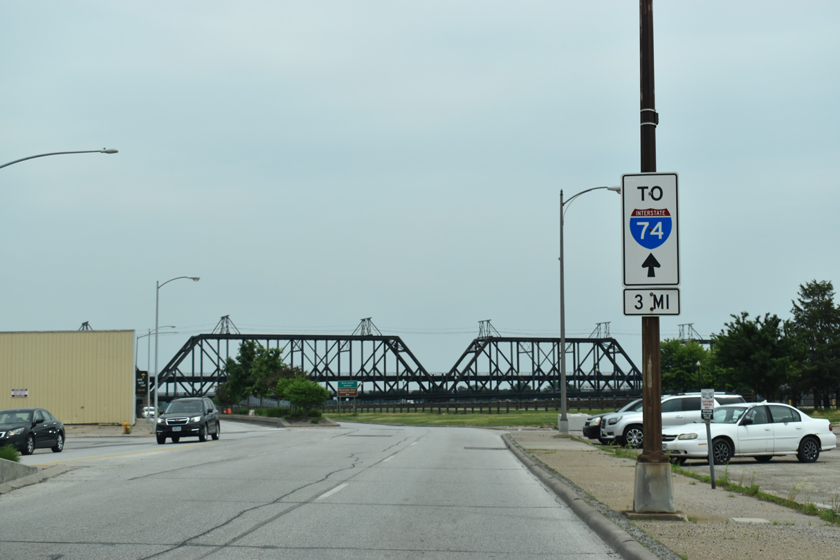
U.S. 67 links Downtown Davenport with Interstate 74, three miles to the east at Bettendorf. Trailblazers line East River Drive to direct motorists to the freeway.
05/29/18
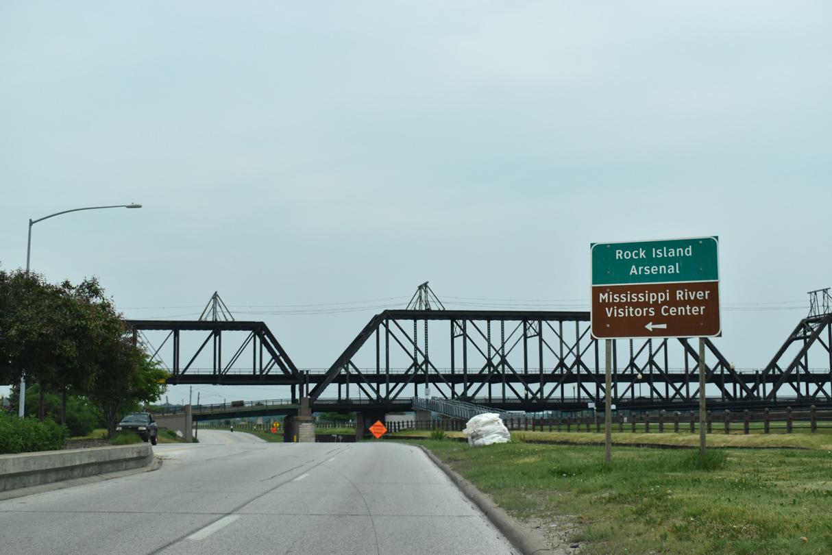
The Government Bridge comes into view and crosses over U.S. 67 between Iowa and 3rd Streets. The dual railroad / automobile crossing was built in 1896 with two decks. The lower deck carries vehicular traffic while the upper deck supports the rail line. The span links Davenport with the Rock Island Arsenal and the Mississippi River Visitors Center.
05/29/18
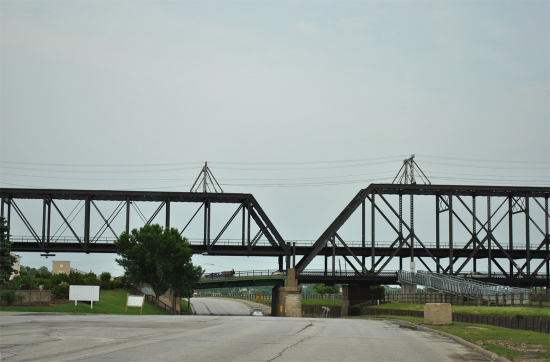
There is no direct access between U.S. 67 and the Government Bridge. The bridge ends at 2nd and Leclaire Streets adjacent to East River Drive, with a direct ramp from westbound. Iowa Street connects eastbound U.S. 67 with the bridge via 2nd Street.
05/29/11
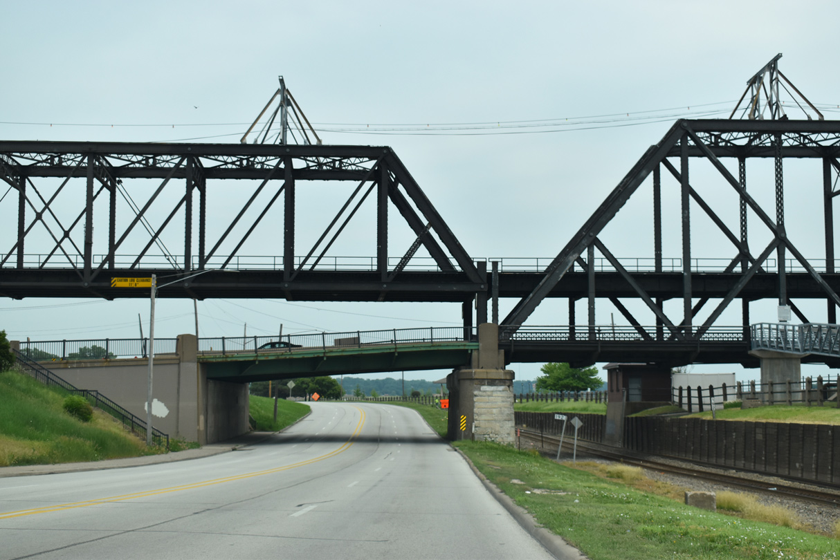
Passing under the Government Bridge, the pedestrian walkway along the span comes into view.
05/29/18
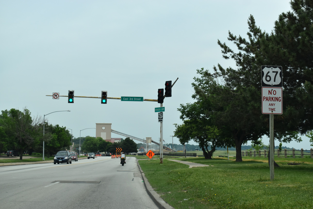
U.S. 67 turns more northward with the course of the Mississippi River and intersects E 3rd Street.
05/29/18
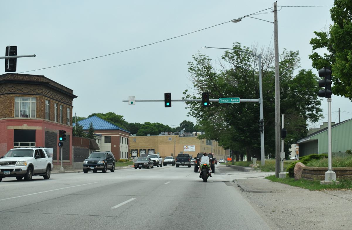
E River Drive intersects Tremont Avenue, which leads north from an industrial area on the river to E 10th Street.
05/29/18
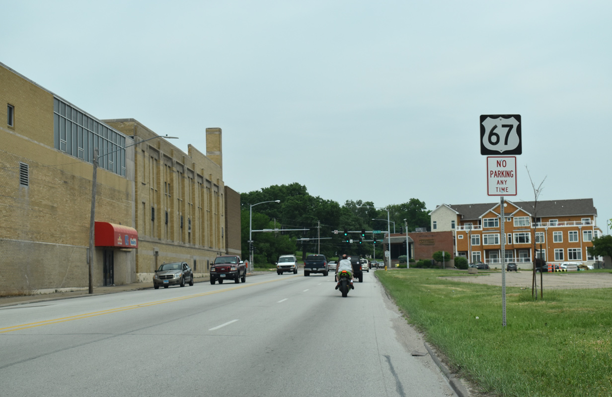
Reassurance marker for U.S. 67 north posted after Carey Avenue.
05/29/18
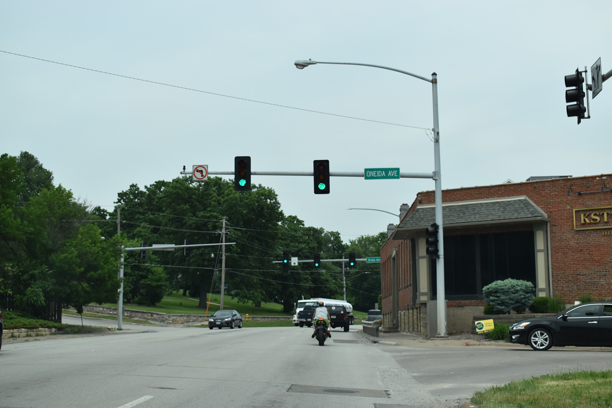
Back to back signals operate at Oneida and Bridge Avenues next on U.S. 67 north. The two form a couplet north to E 12th Street, with Bridge Avenue carrying two-way traffic from there to Locust Street.
05/29/18
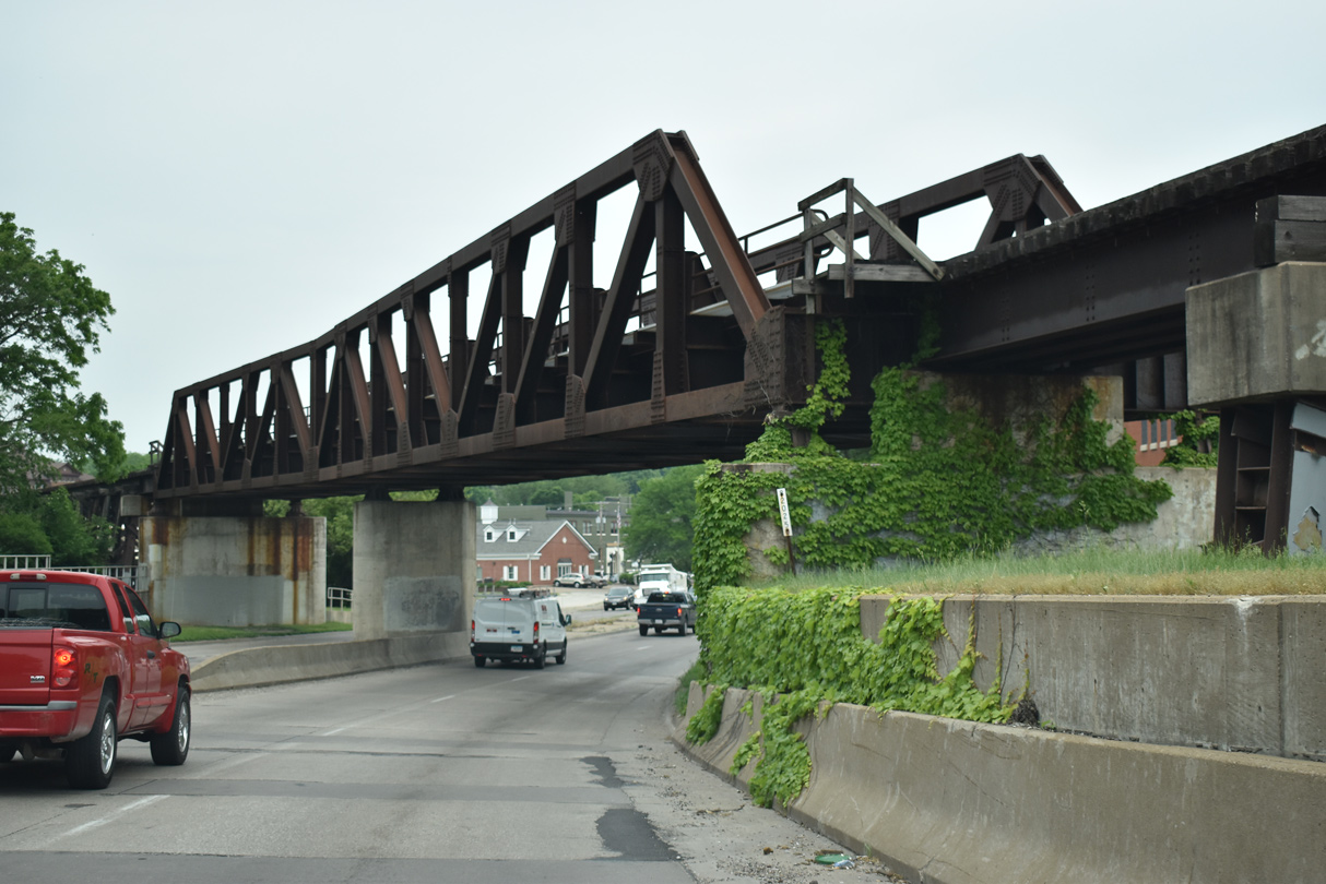
A DME Railroad line crosses over U.S. 67 on this pony truss bridge just ahead of Mound Street.
05/29/18
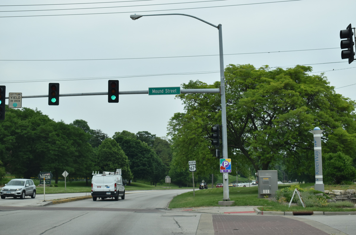
Mound Street leads north from a wharf on the Mississippi River and E River Drive to E 13th Street.
05/29/18
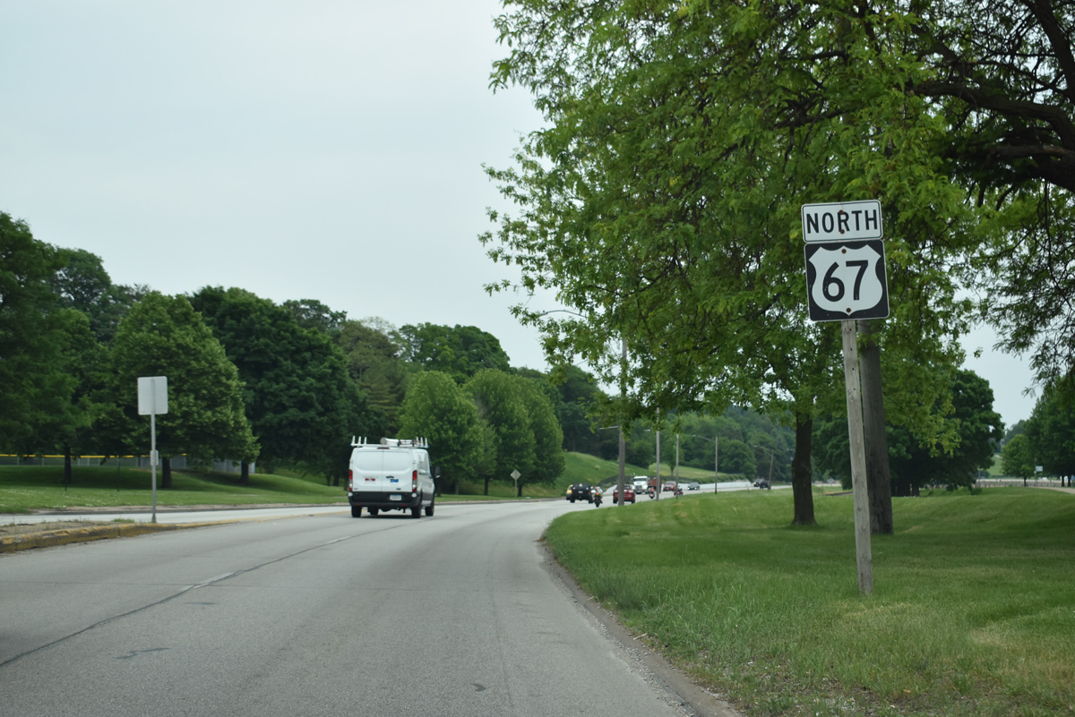
Reassurance marker posted after Mound Street and by Lindsay Park on East River Drive.
05/29/18
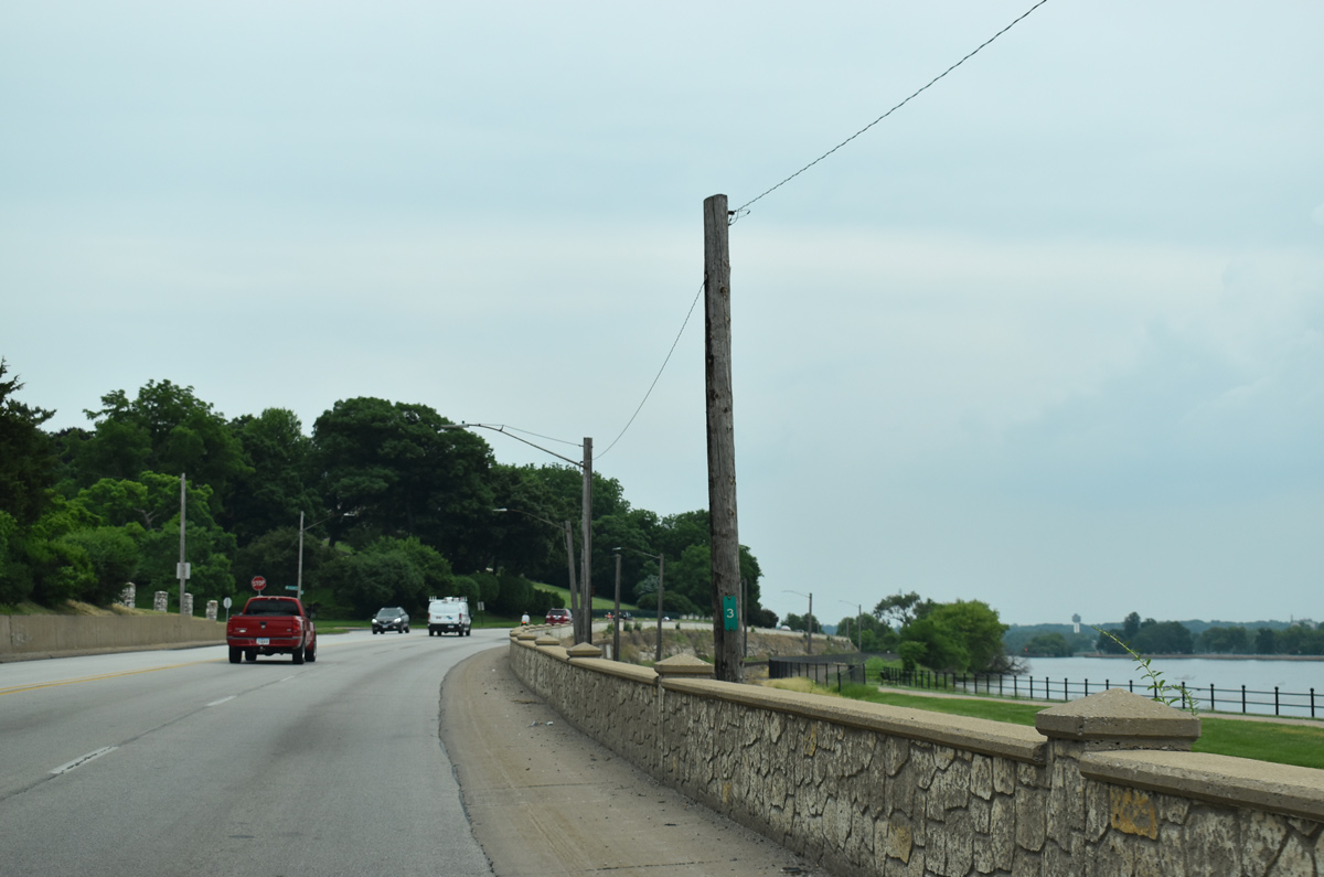
Milepost 3 for U.S. 67 precedes the intersection with McCellan Boulevard north and River Street west beyond Lindsay Park.
05/29/18
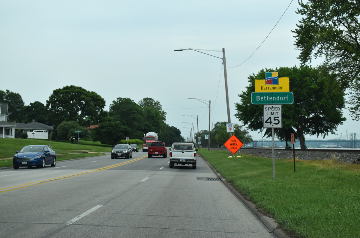
U.S. 67 enters the city of Bettendorf at Greenwood Avenue along East River Drive.
05/29/18

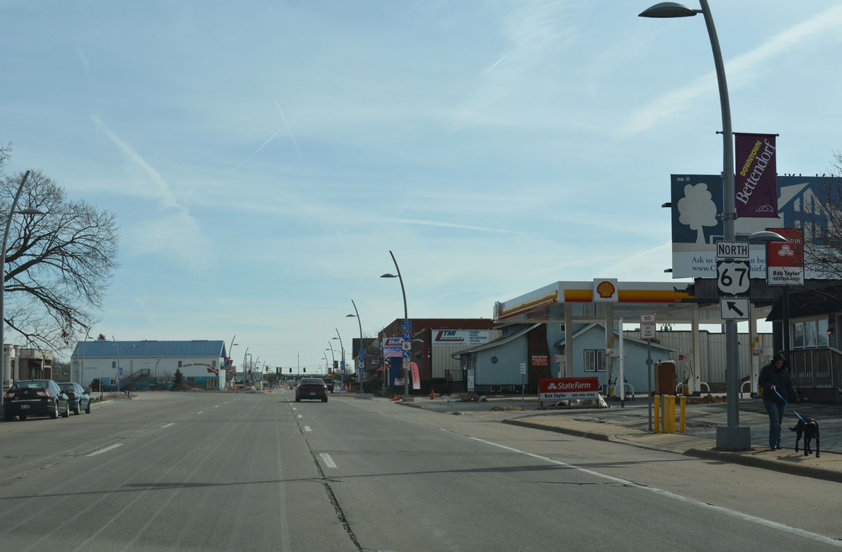
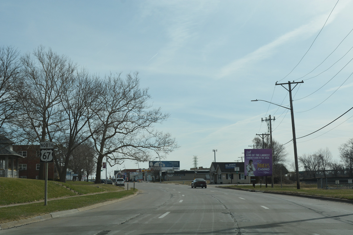
Demolished in 2023, the former Iowa-Illinois Memorial Bridge (I-74/U.S. 6) came into view where U.S. 67 lines the west banks of the Mississippi River after the Davenport city line.
05/29/18
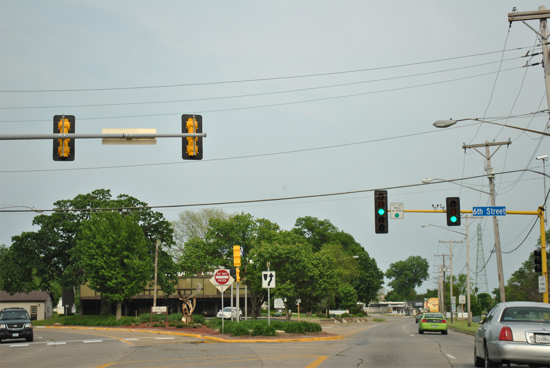
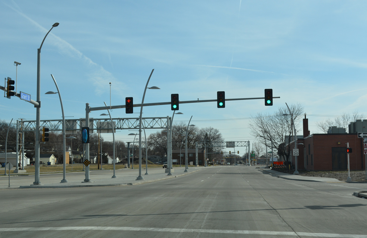
U.S. 67 splits into the one way couplet of State Street (north) and Grant Street (south) at 6th Street.
05/29/11
Northbound shields posted for U.S. 67 between 6th and 8th Streets on State Street.
05/29/11
03/12/17
Northbound U.S. 67 was realigned from State Street onto an S-curve to combine with southbound along Grant Street in 2017.
03/12/17
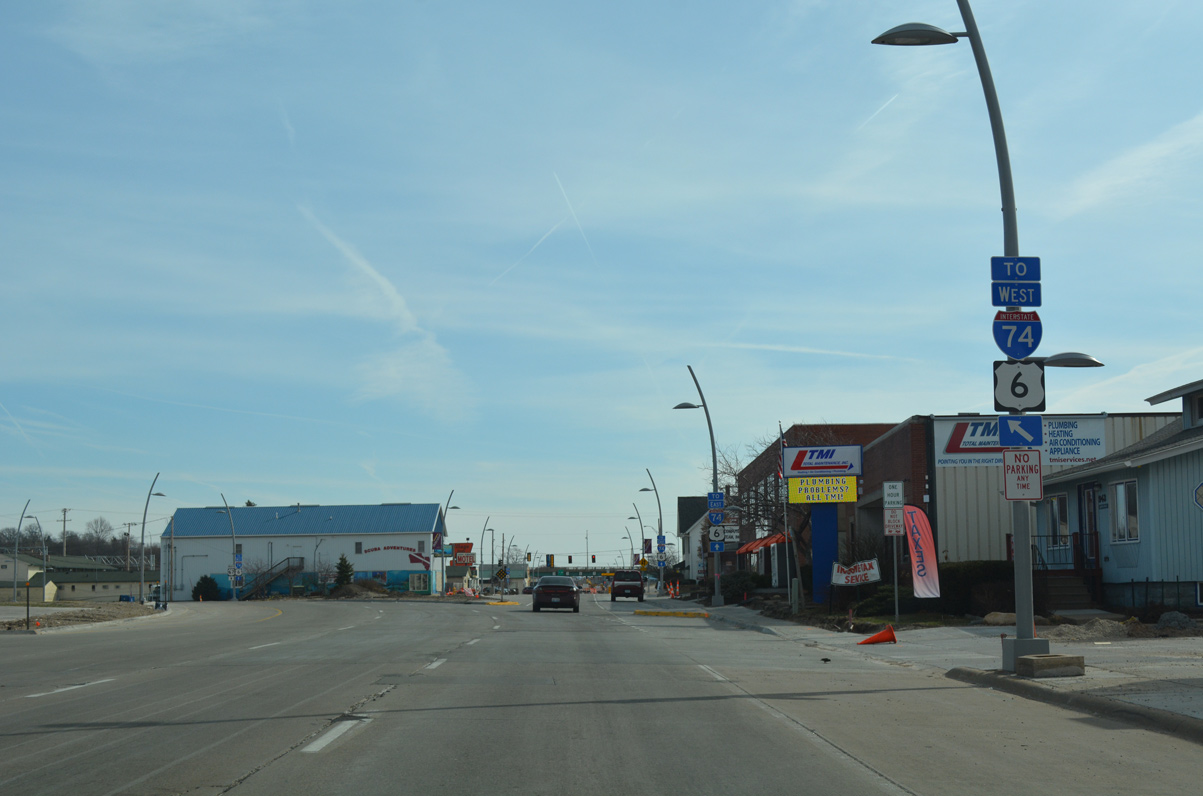
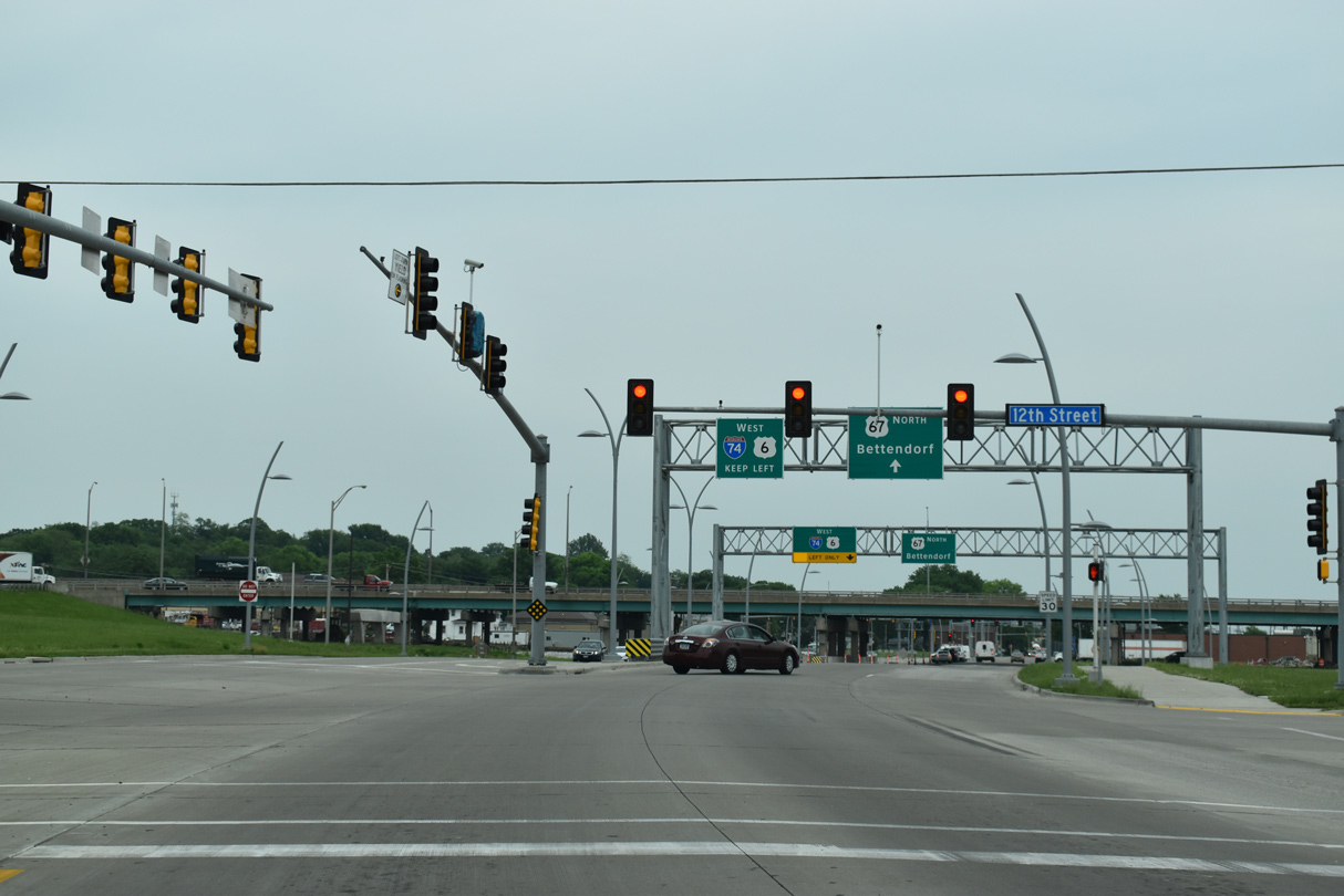
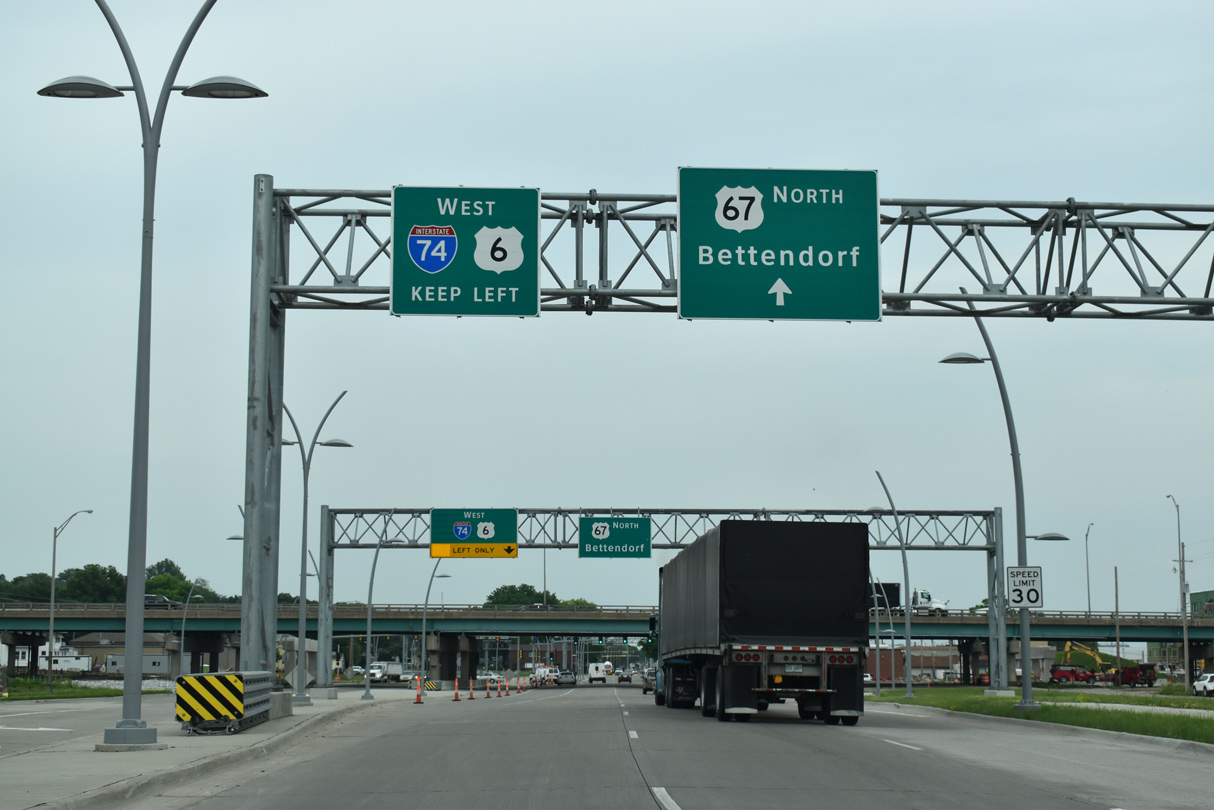
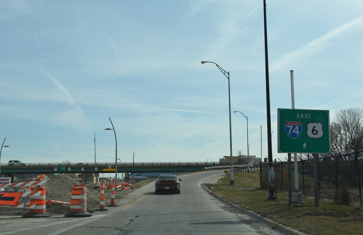
Traffic to I-74/U.S. 6 from U.S. 67 (State Street) north partitions, with the westbound ramp located 0.2 miles north of Grant Street via 14th Street.
03/12/17
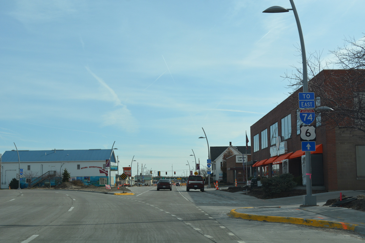
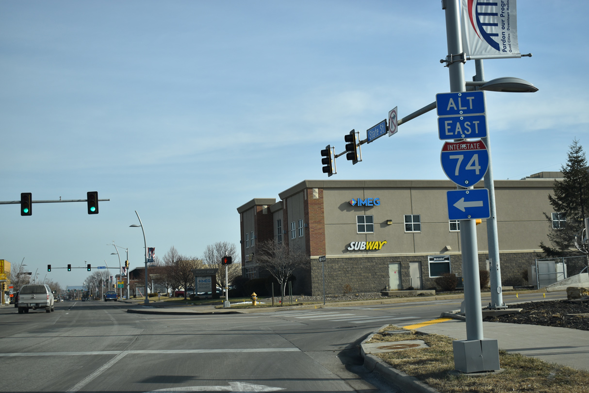
State Street branches east from U.S. 67 to connect with I-74/U.S. 6 east across the Iowa-Illinois Memorial Bridge into Moline.
03/12/17
State Street east intersects 12th Street ahead of the on-ramp for I-74/U.S. 6 east to Quad City International Airport (MLI). State Street beyond 13th Street was demolished to make way for construction of the new I-74 bridge.
03/12/17

U.S. 67 shifts onto Grant Street east between 10th and 12th Streets and continues toward the westbound on-ramp for I-74/U.S. 6.
05/29/18
13th Street south was realigned to intersect U.S. 67 at the six lane section of Grant Street. 12th Street extends south to industrial businesses by the Mississippi River and Leach Park.
05/29/18
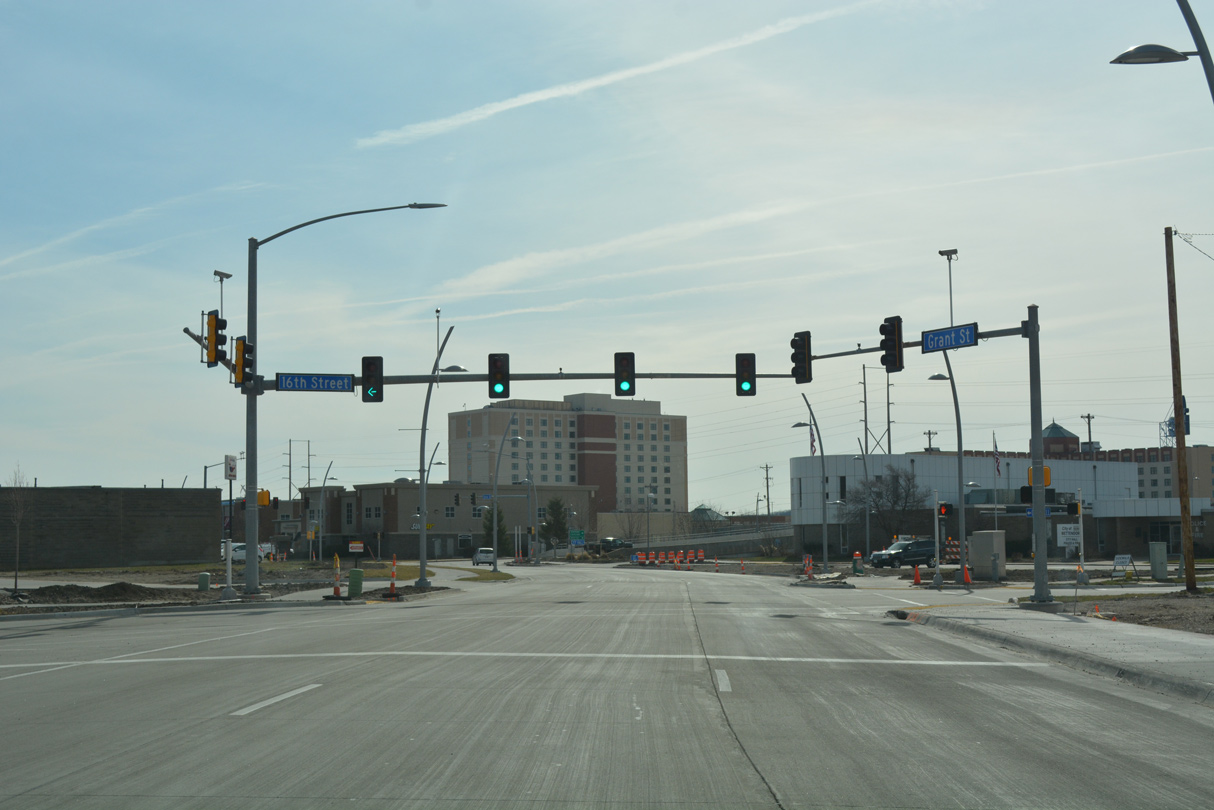
Grant Street carries two-way traffic between 12th and 16th Streets, linking U.S. 67 with 14th Street and ramps to I-74/U.S. 6.
05/29/18

14th Street extends north from the ensuing traffic light, connecting U.S. 67 with Kimberly Road and I-74/U.S. 6 west.
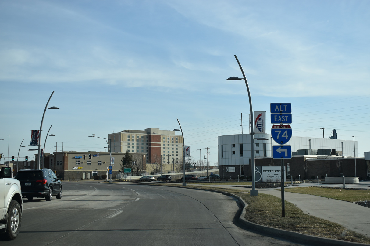
05/29/18
Grant Street passed under the north end of the Iowa-Illinois Memorial Bridge approach ahead of the intersection with 14th Street and the westbound exit ramp from I-74. The new I-74 Mississippi River Bridge crosses U.S. 67 here. 14th Street was truncated north to Brown Street.
03/12/17
A Great River Road trailblazer appears along U.S. 67 (Grant Street) east at 15th Street where traffic shifts southeast onto State Street.
12/23/19
Separating from Grant Street, U.S. 67 northbound navigates along an S-curve to rejoin State Street beyond 16th Street in Downtown Bettendorf. Several buildings were razed on this block to make way for the new alignment of U.S. 67 in 2016-17.
03/12/17
Northbound U.S. 67 passes by Bettendorf City Hall between 16th and 17th Streets.
12/23/19
The realignment of U.S. 67 concludes at George Theuenen Drive south and 17th Street north. George Theuene Drive elevates over the adjacent DME Railroad line to connect State Street with the Mississippi Riverfront and Isle Casino.
12/23/19
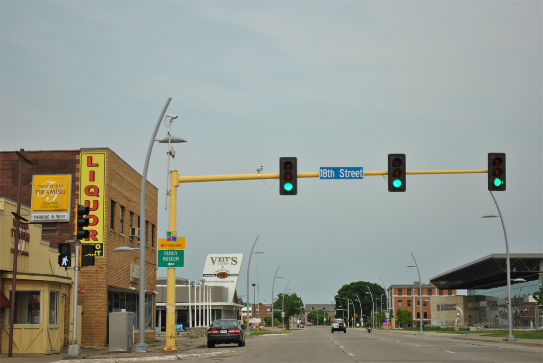
18th Street comprises a through route from Downtown Bettendorf north to Middle Road and 53rd Avenue in northern reaches of the city.
05/29/11
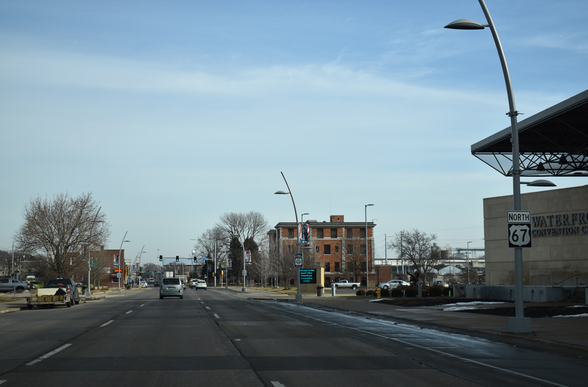
A pair of reassurance markers for U.S. 67 appear along State Street east of 19th Street by the Waterfront Convention Center.
12/23/19
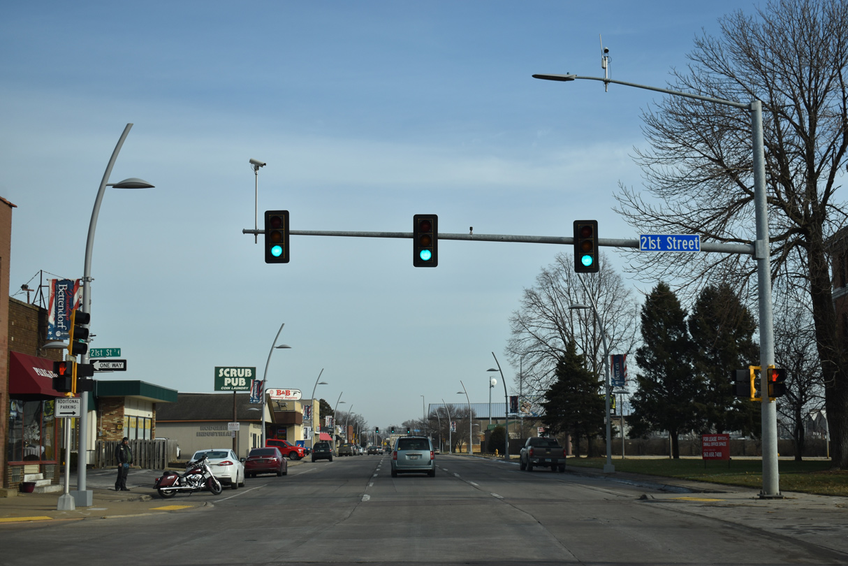
U.S. 67 continues by Quad Cities Waterfront Convention Center to the signalized intersection with 21st Street north.
12/23/19
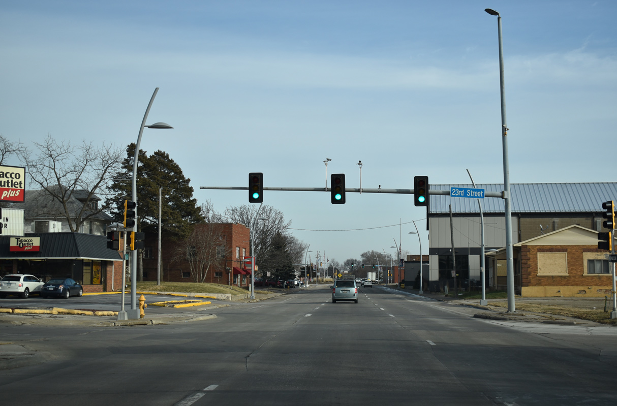
23rd Street extends south from Spruce Hills Drive and Middle Road to the Mississippi Riverfront.
12/23/19
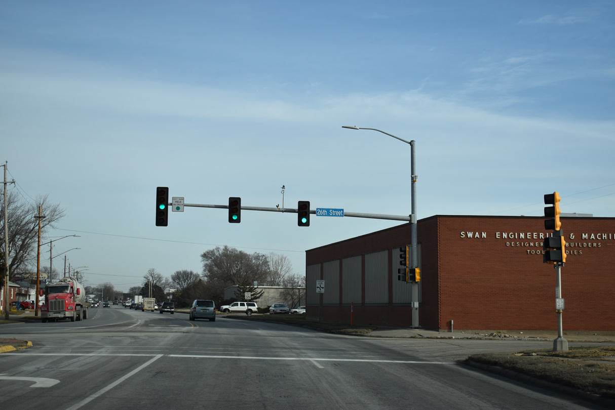
U.S. 67 (State Street) switches to two-way traffic east from 26th Street.
12/23/19
Reassurance marker posted along State Street east at 28th Street in Bettendorf.
12/23/19
U.S. 67 (State Street) east of the traffic light at 31st Street.
12/23/19
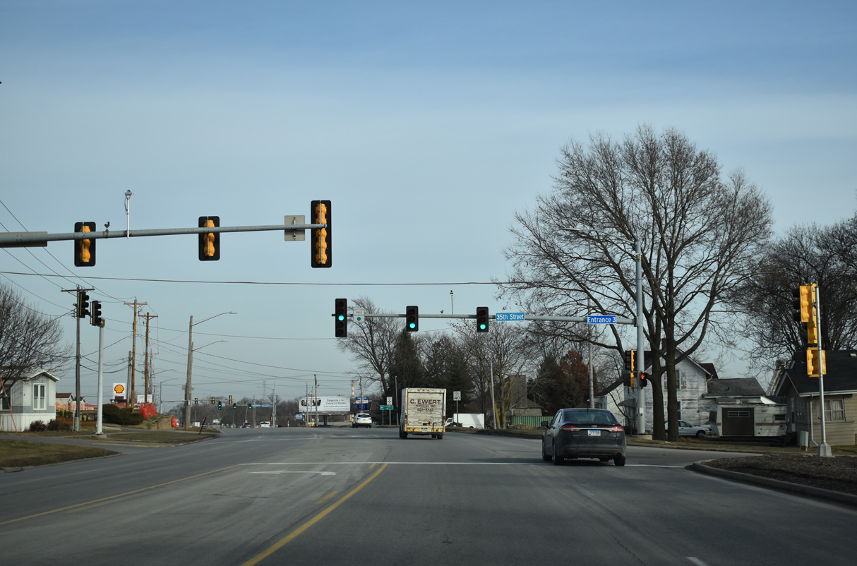
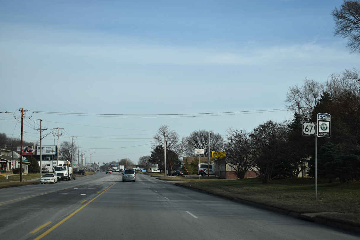
35th Street forms a loop south from U.S. 67 with Elm Street and 42nd Street to industrial areas along the Mississippi River.
12/23/19
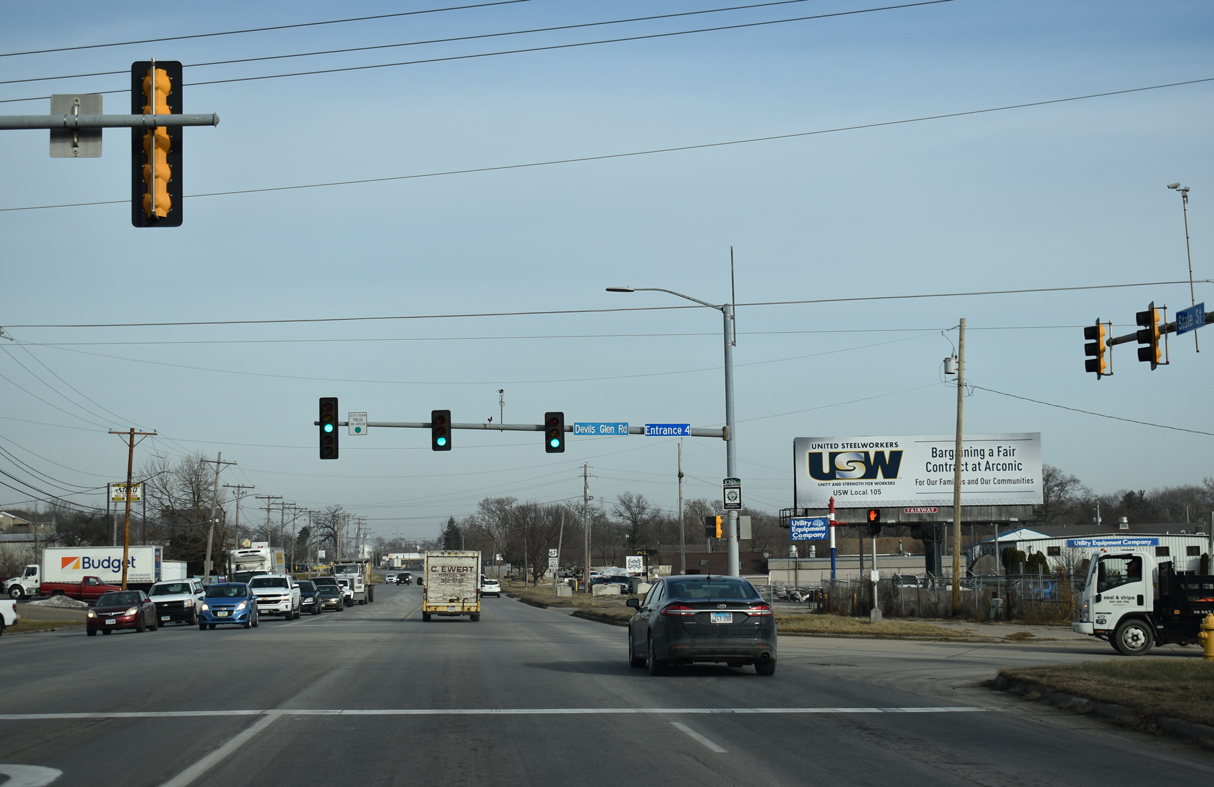
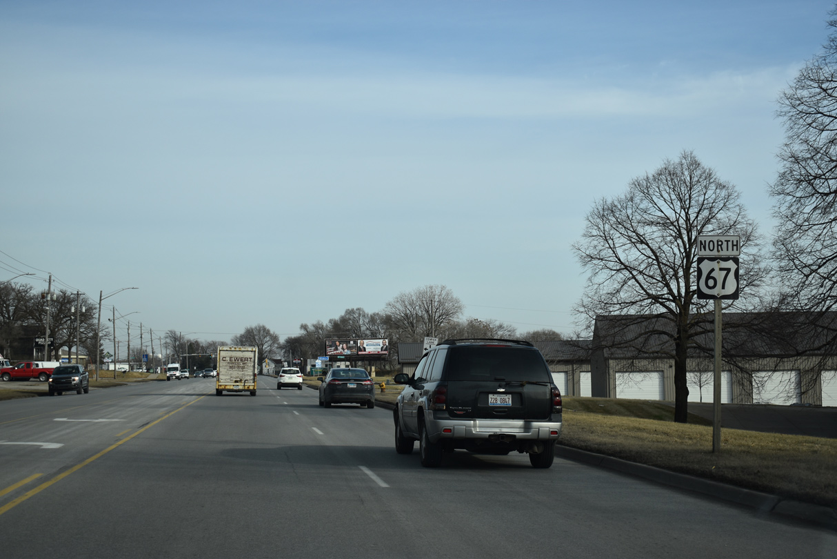
Devils Glen Road stems north from in industrial area along State Street to Forest Grove Drive in north Bettendorf.
12/23/19
Reassurance marker posted northeast of Devils Glen Road.
12/23/19
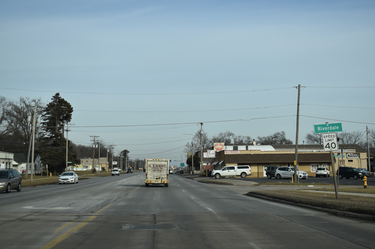
Crossing Duck Creek, U.S. 67 (State Street) north enters the city of Riverdale.
12/23/19
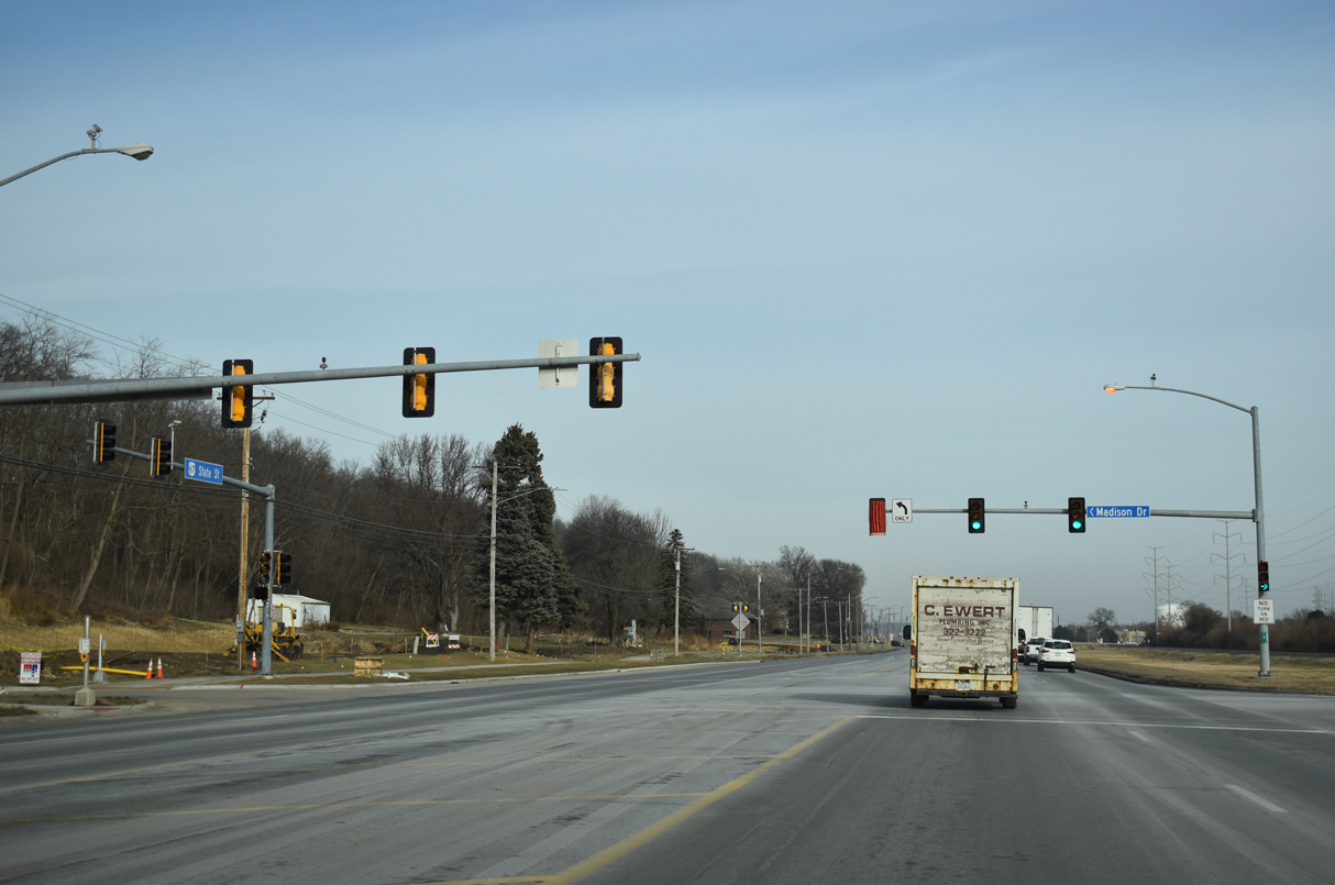
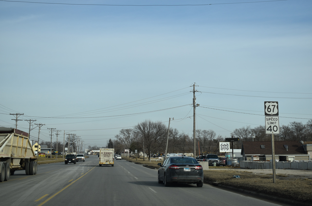
Construction of the Woods Estates subdivision in 2019 added Madison Drive to the north of the signalized intersection joining U.S. 67 with the Arconic plant main entrance.
12/23/19
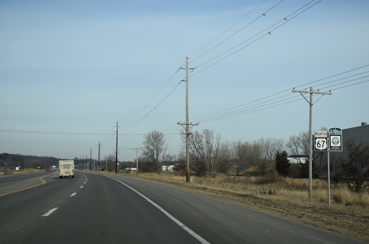
U.S. 67 reenters the city of Bettendorf from Riverdale north at Fenno Road. Continuing beyond Crow Creek, U.S. 67 intersects Shoreline Drive ahead of this reassurance shield.
12/23/19
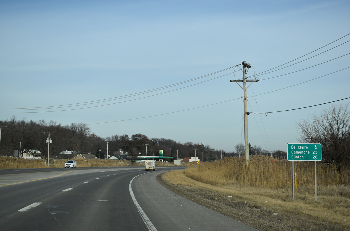
U.S. 67 enters unincorporated Scott County ahead of 244th Avenue. The Le Claire city center is five miles northeast.
12/23/19
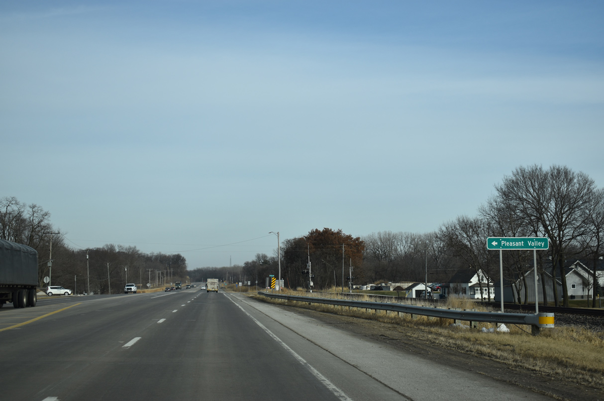
Spencer Road links U.S. 67 with parallel Valley Drive at the unincorporated community of Pleasant Valley.
12/23/19
U.S. 67 advances north of Spencer Road as a four lane arterial with a painted median.
12/23/19
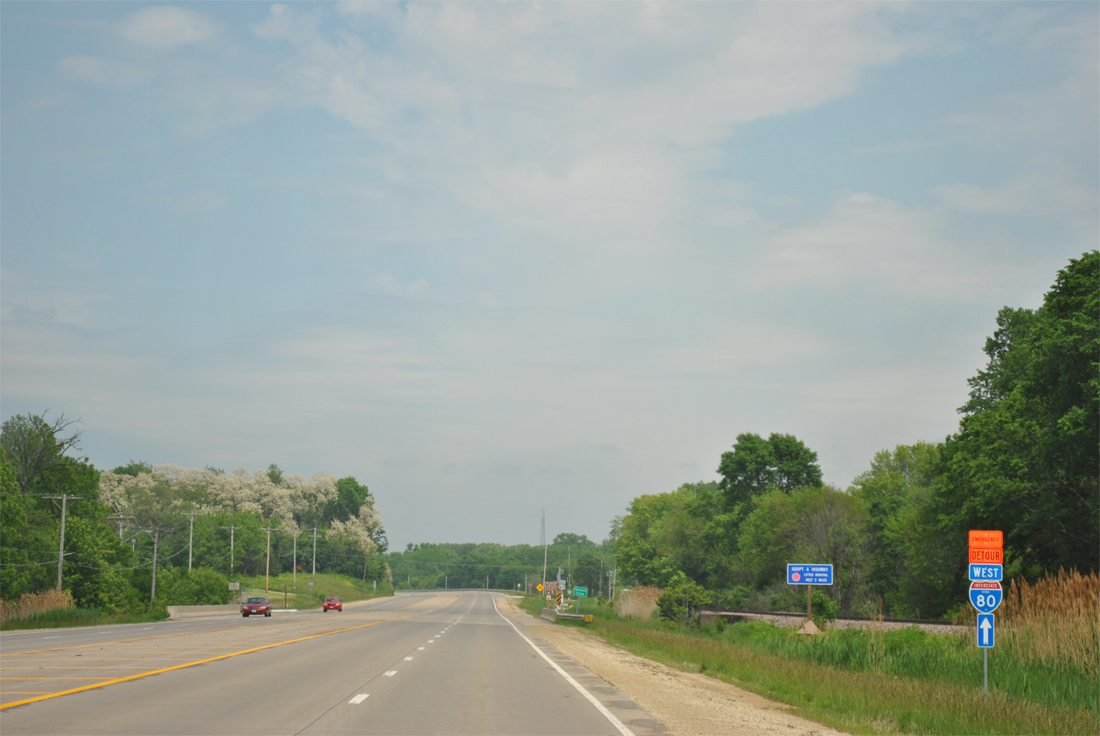
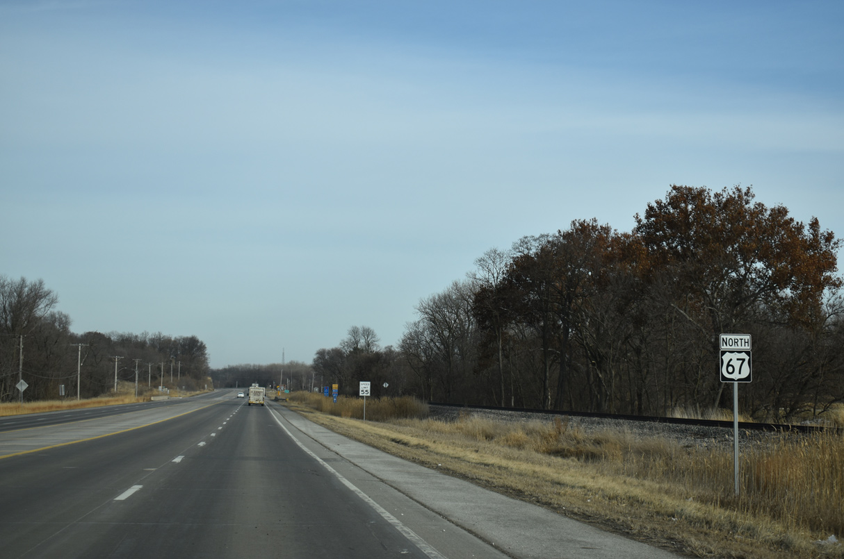
An emergency detour trailblazer for Interstate 80 precedes Spencer Creek on U.S. 67 (Great River Road) north. U.S. 67 east to Le Claire doubles as an emergency detour for I-80 during times of road closure due to snow or other events.
05/28/11
U.S. 67 intersects 249th Avenue just beyond Spencer Creek and this shield assembly. 249th Avenue links Great River Road with parallel Valley Drive. SE 182nd Street follows to the Mississippi River Project office and Locks & Dam 14 Recreation Area.
12/23/19

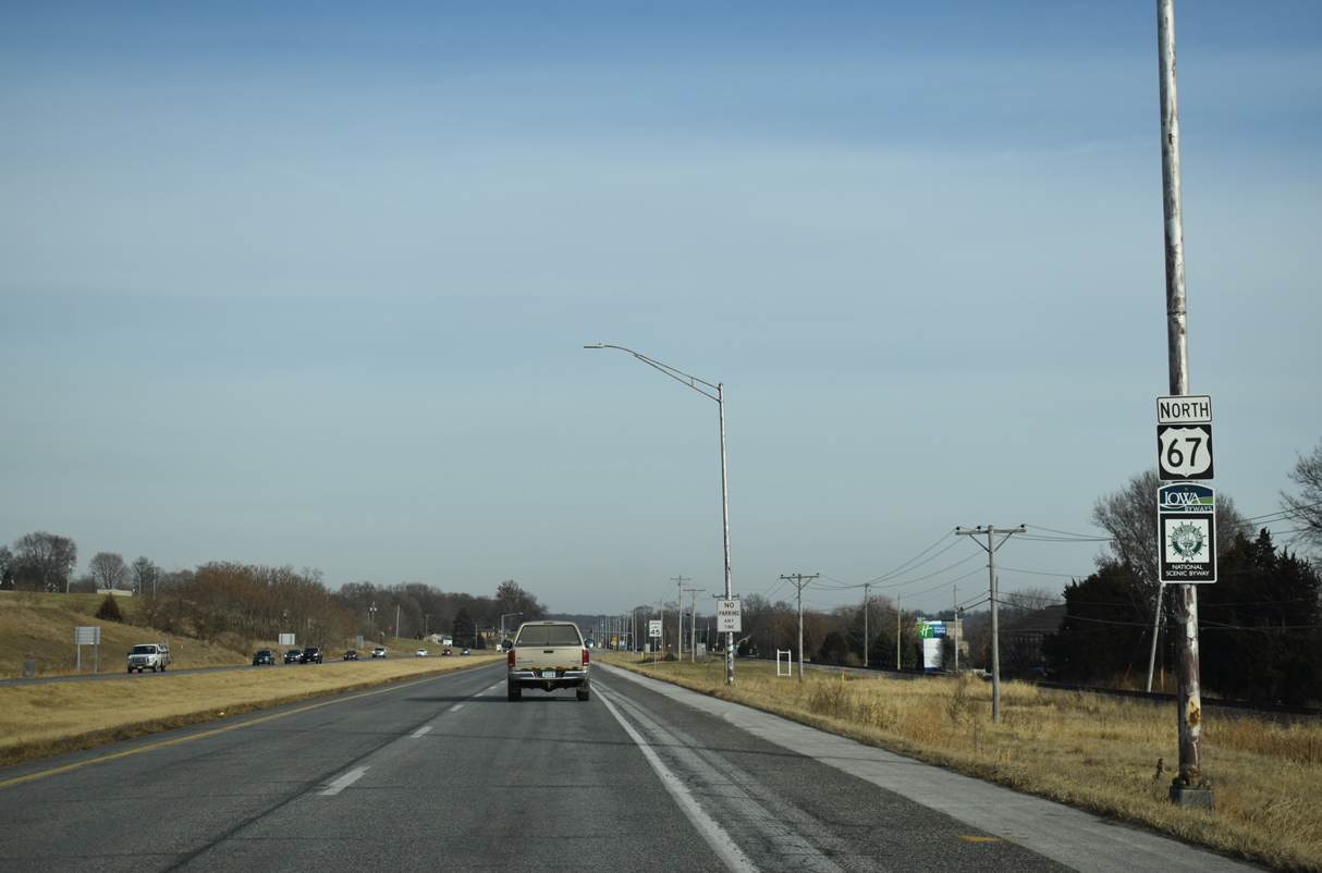
Encircling Le Clair Canal, U.S. 67 north enters the city of Le Claire along S Cody Road.
12/23/19
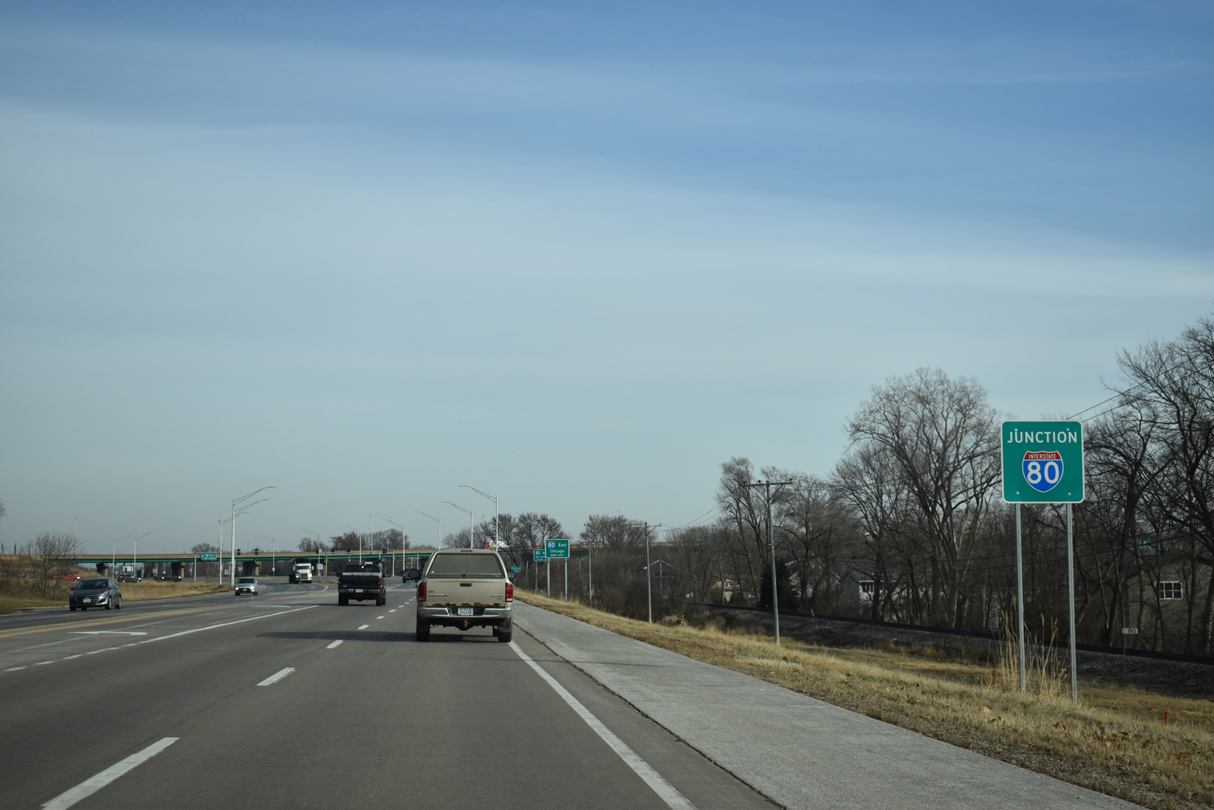
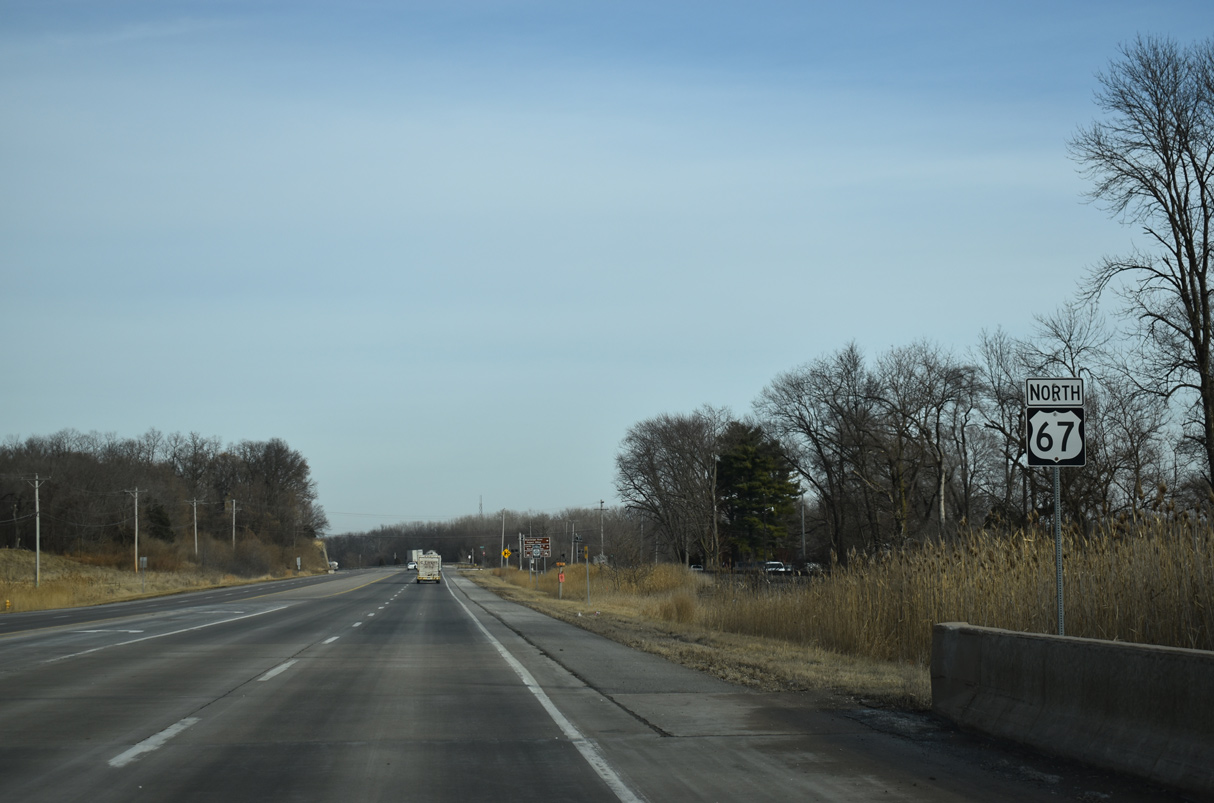
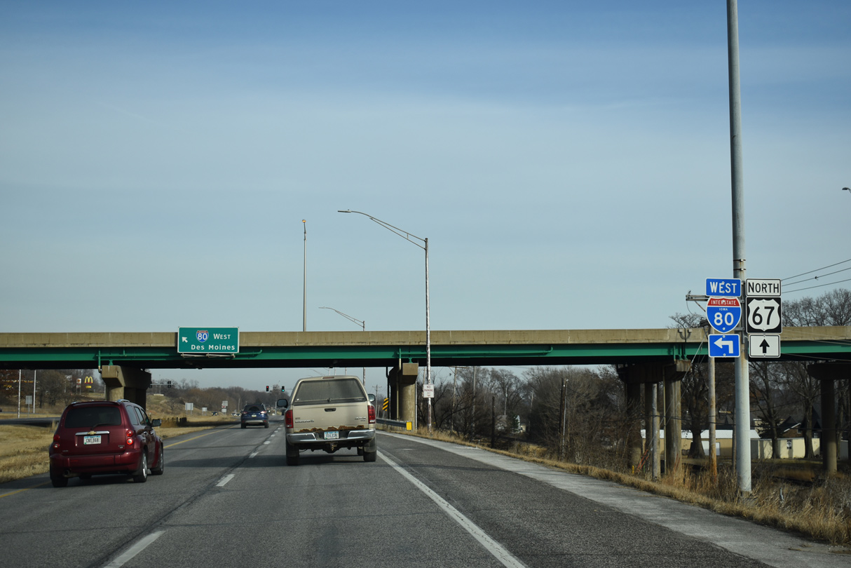
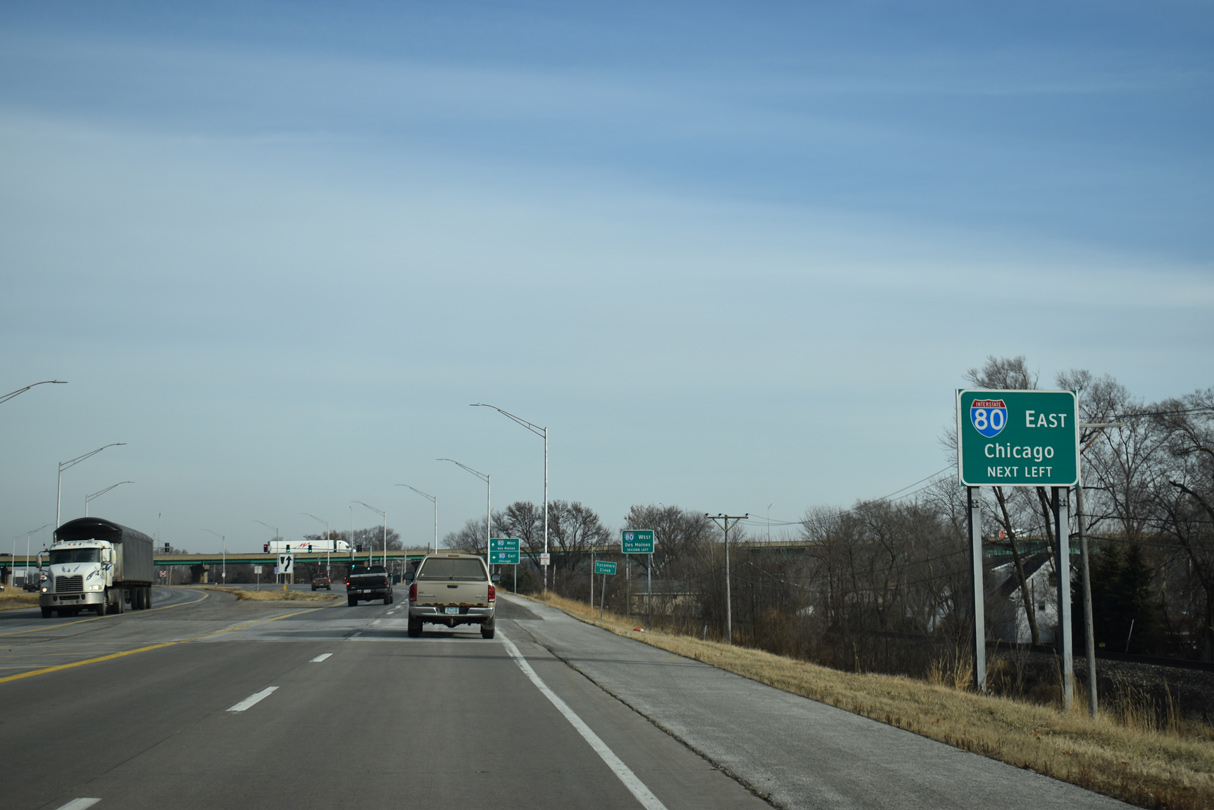
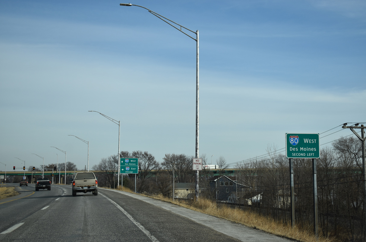
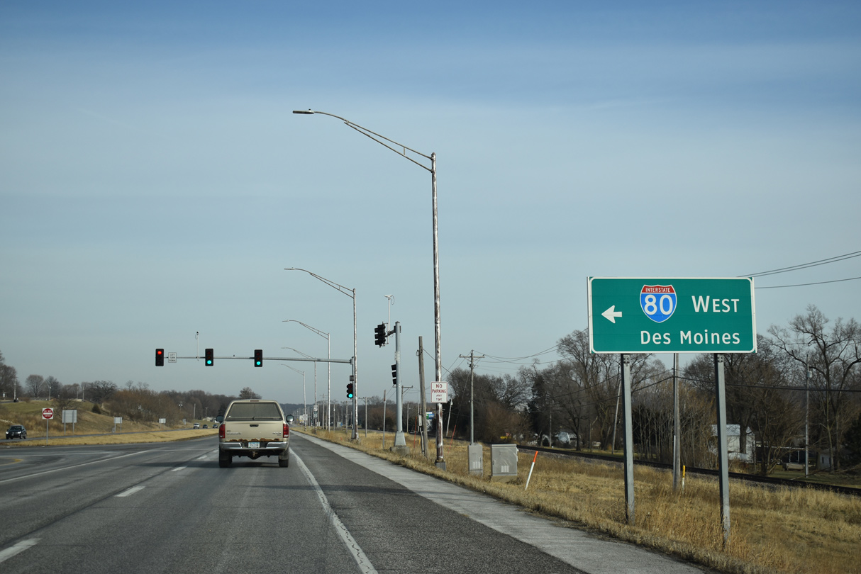
Interstate 80 and U.S. 67 meet at a folded diamond interchange, 1.3 miles east of the Le Claire city line.
12/23/19
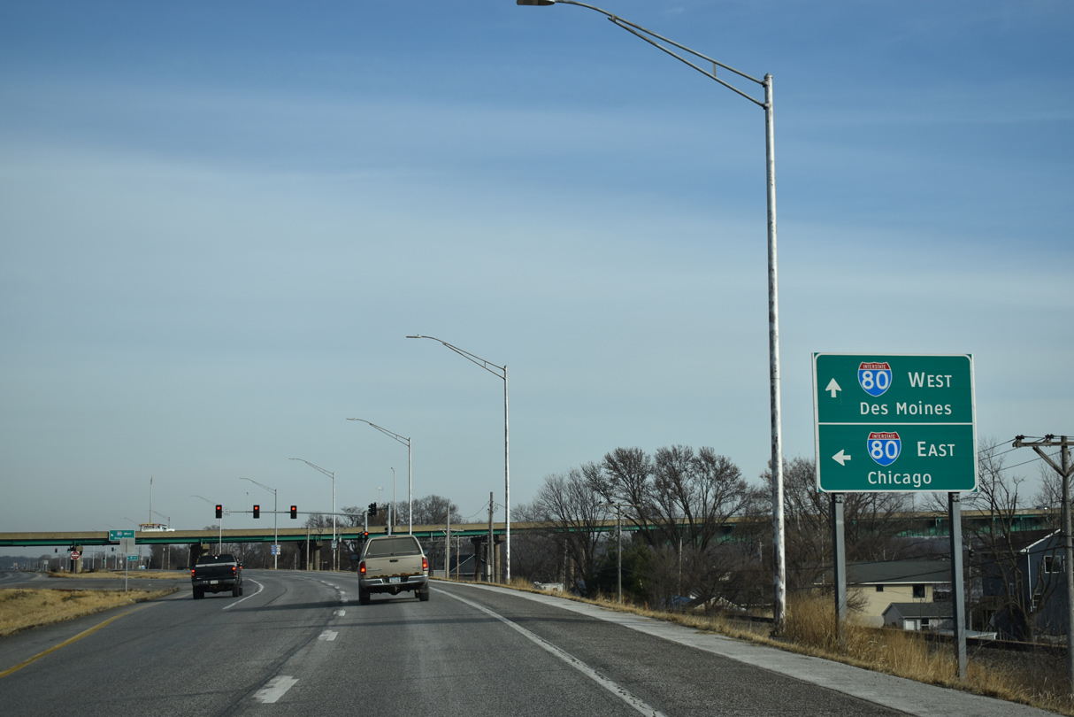
Interstate 80 crosses the Mississippi River from Le Claire south to East Moline and Colona before turning east at the Big X interchange with I-74/280 toward Chicago.
12/23/19
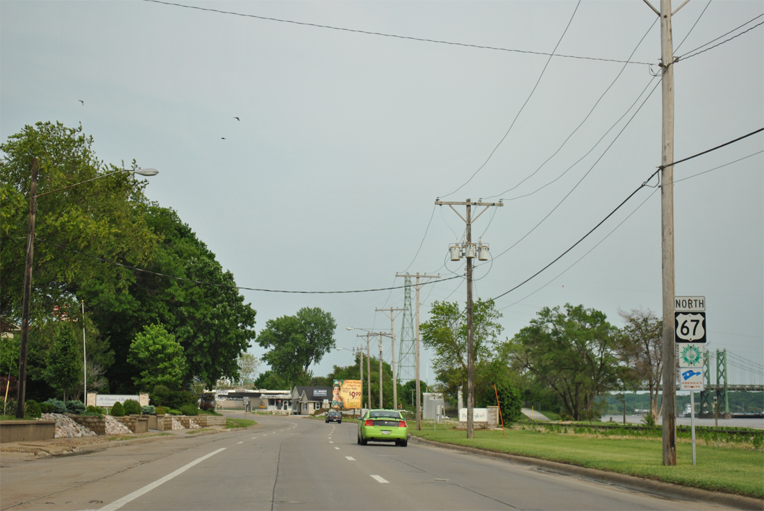
West from Le Claire, Interstate 80 runs across northern reaches of Bettendorf and Davenport on the 175 mile long course to Des Moines.
12/23/19
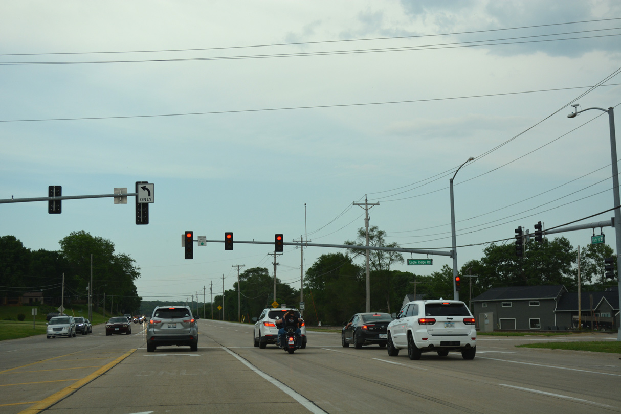
The divided section of U.S. 67 (S Cody Road) concludes at Eagle Ridge Road east of Interstate 80.
12/23/19
Eagle Ridge Road connects U.S. 67 with an array of traveler services to the north and additional businesses along the Mississippi Riverfront on Canal Shore Drive.
05/28/18

U.S. 67 (S Cody Road) narrows to two lanes north beyond Eagle Ridge Road.
12/23/19
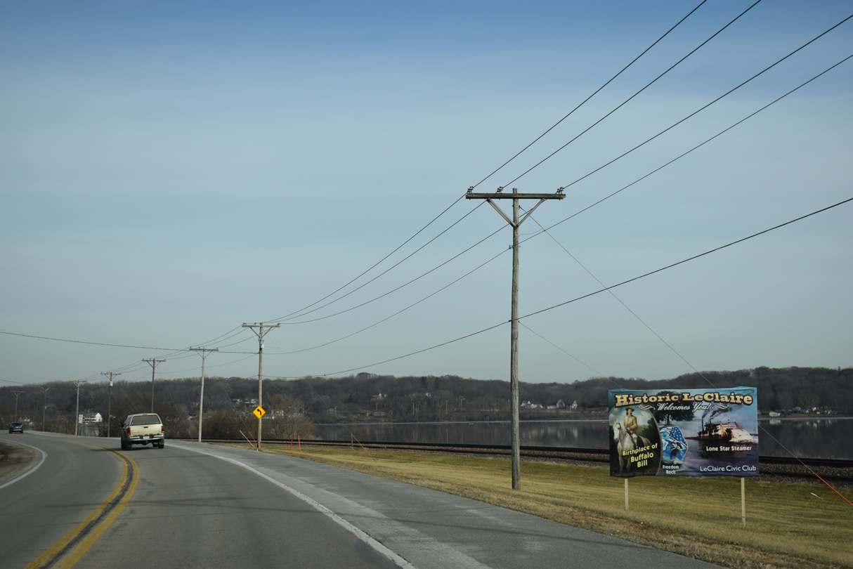
A LeClaire welcome sign posted north of S 8th Street.
12/23/19
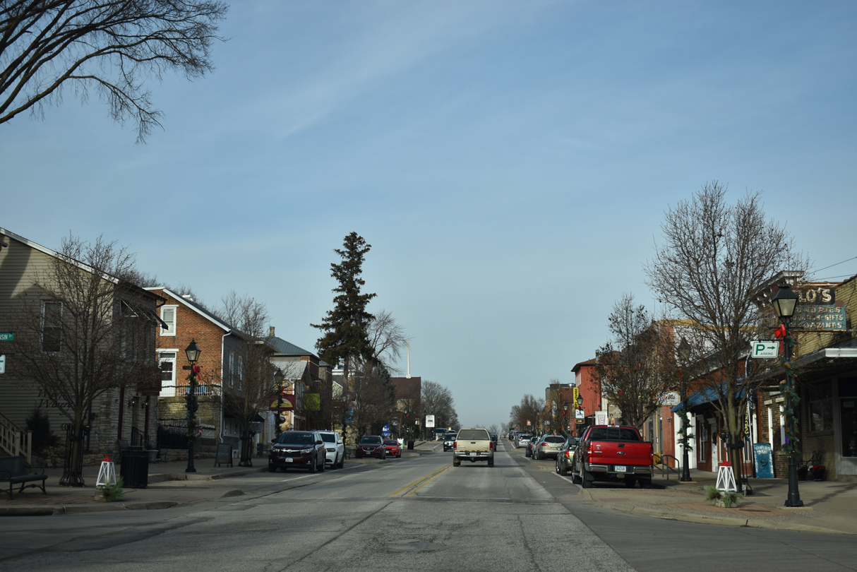
U.S. 67 (Cody Road) at Wisconsin Street in the Le Claire business district. Le Claire city hall is four blocks to the west. The Buffalo Bill Museum lies along the Mississippi River to the east.
12/23/19

Photo Credits:
- ABRoads: 05/29/11
- Alex Nitzman, Bill Gatchel: 03/25/16, 03/12/17
- Alex Nitzman: 05/28/18, 05/29/18, 12/23/19
- AARoads: 05/28/11
Connect with:
Page Updated Friday December 08, 2023.