
U.S. 70 East - Selma to Goldsboro


U.S. 70 parallels Bawdy Swamp south from U.S. 70 Bypass.
12/21/24

U.S. 70 Business converge with U.S. 70 southwest of Pine Level at a parclo A2 interchange (Exit 337) built in 2016-17.
12/21/24
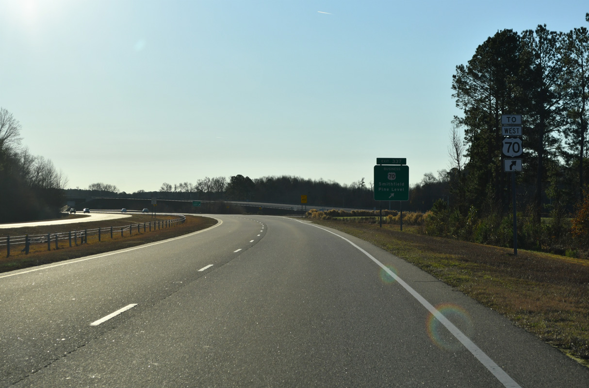
Exit 337 affords motorists the opportunity to turnaround and follow U.S. 70 west off Exit 336.
12/21/24

U.S. 70 Business follows the original route of U.S. 70 northwest through Smithfield.
12/21/24

Peedin Street Extension (SR 2308) runs 0.43 miles east from U.S. 70 Business to Peedin Road (SR 2309). Woods Road (SR 2513) stems 1.34 miles south from the off-ramp at Exit 337 to Crocker Road (SR 2512).
12/21/24
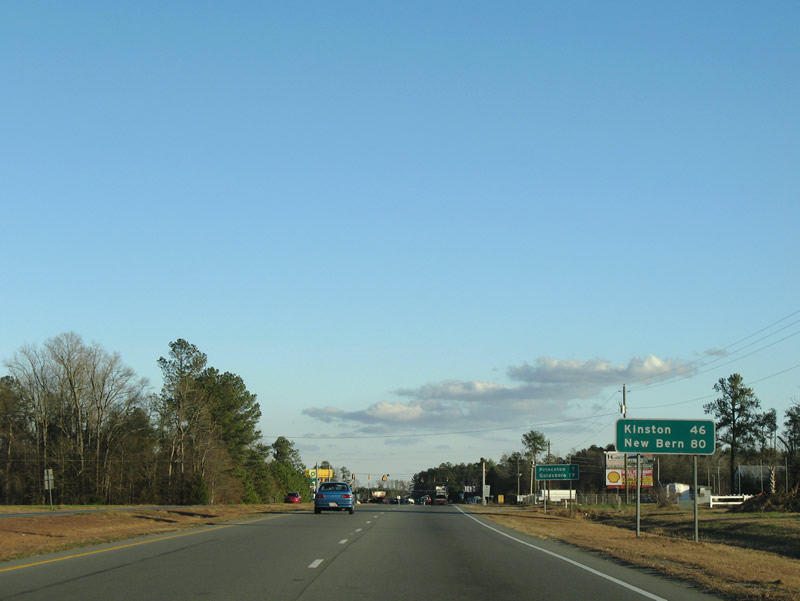
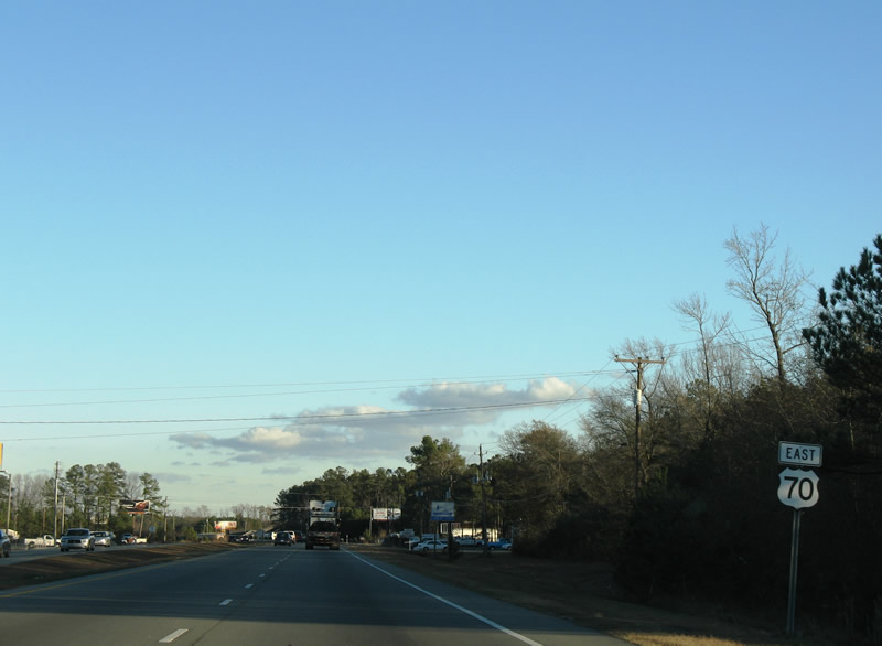
Kinston lies 46 miles to the east along either U.S. 70 or Interstate 42.
12/21/24
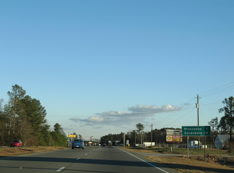
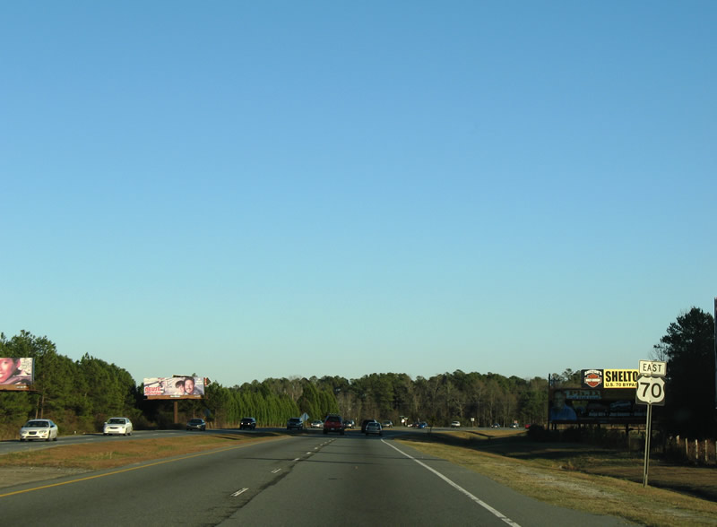
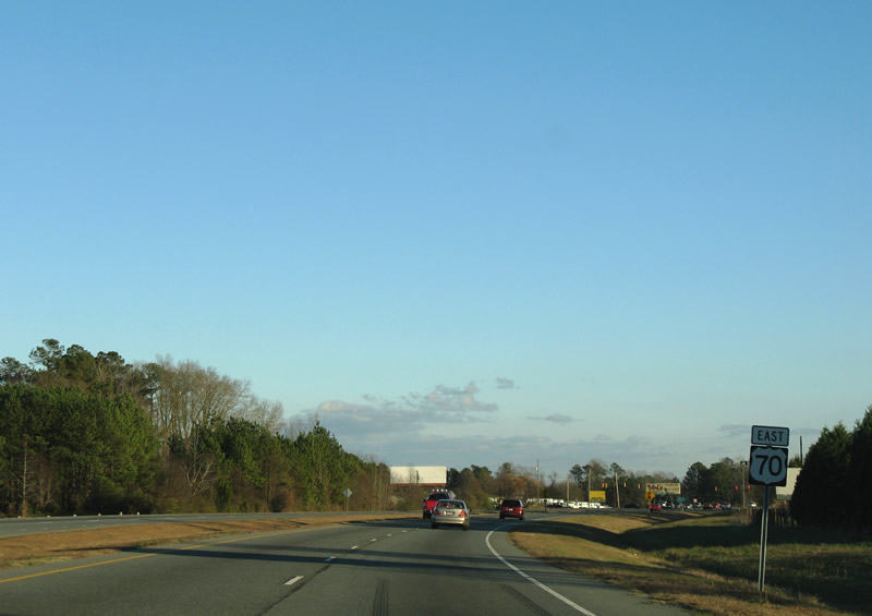
U.S. 70 continues seven miles from U.S. 70 Business east of Smithfield to Princeton in eastern Johnston County.
12/21/24
U.S. 70 continues one mile east to a folded diamond interchange (Exit 338) with Davis Mill Road (SR 2310) north and Stevens Chapel Road (SR 2310) south.
12/21/24
Cross traffic was eliminated at the intersection joining Creechs Mill Road (SR 2597) north and Peedin Road (SR 2309) south with U.S. 70 by 2018.
12/21/24
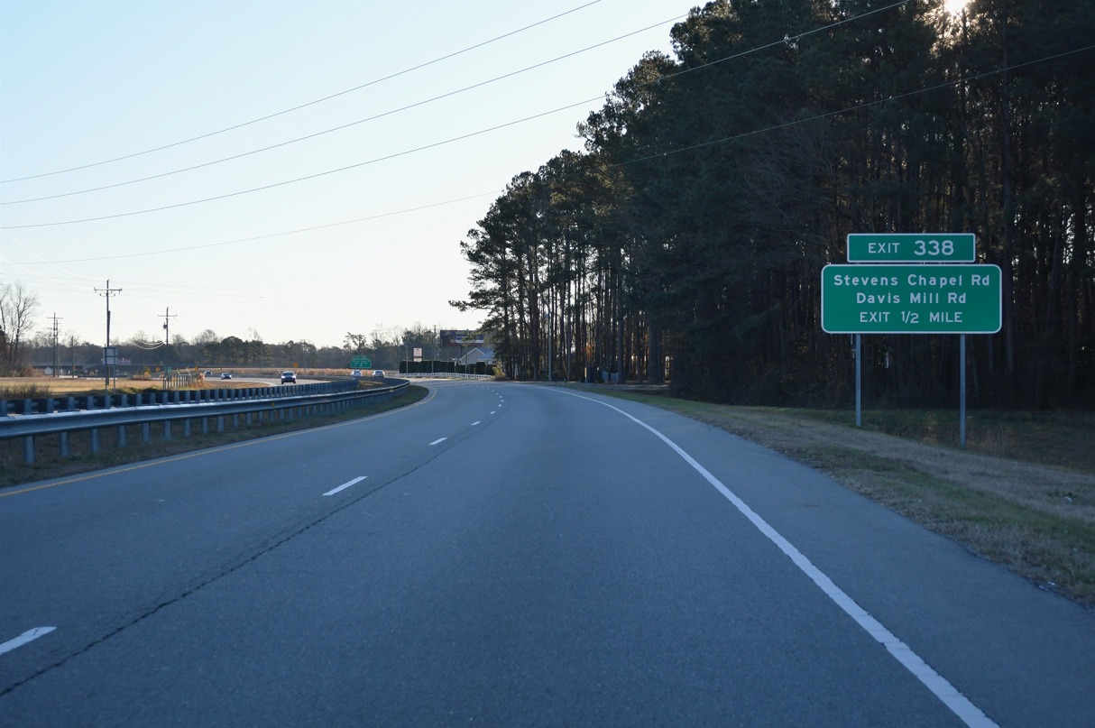
The exchange at Exit 338 was constructed in 2017.
12/21/24

Davis Mill Road (SR 2310) heads 1.82 miles north from U.S. 70 to U.S. 70A in the town of Pine Level. Steven's Chapel road continues SR 2310, 3.82 miles south to Brogden Road (SR 1007) at Brogden.
12/21/24
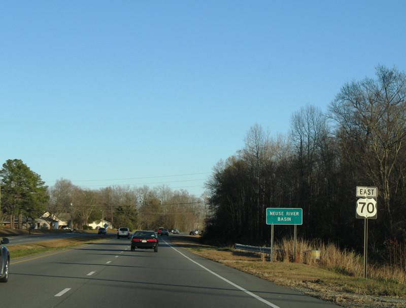
U.S. 70 crosses Quicosin Swamp east of Stevens Chapel Road.
12/21/24
Reassurance marker posted along U.S. 70 east between Quicosin Swamp and Old Country Store Road (SR 2409).
12/21/24
The intersection joining U.S. 70 with Braswell Road (SR 2519) south and Country Store Road (SR 2312) north uses J-turns with no cross traffic.
12/21/24
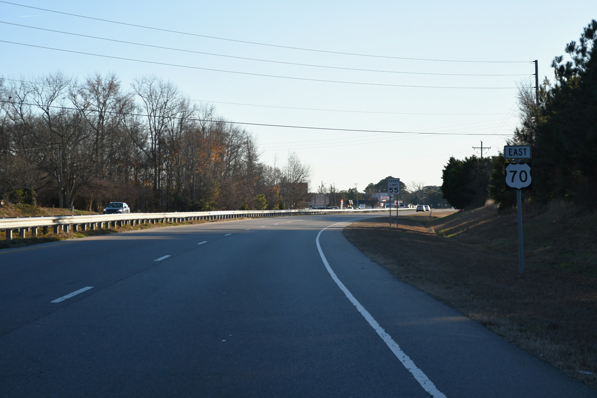
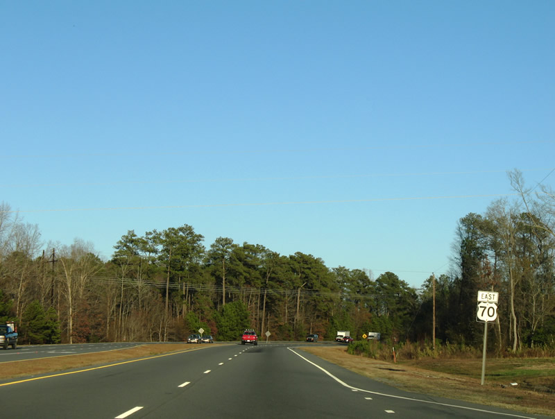
U.S. 70 east of Howell Road (SR 2521) south.
12/21/24

U.S. 70 crosses Holts Pond between Martin Livestock Road (SR 2522) and Pondfield Road (SR 2314).
12/21/24
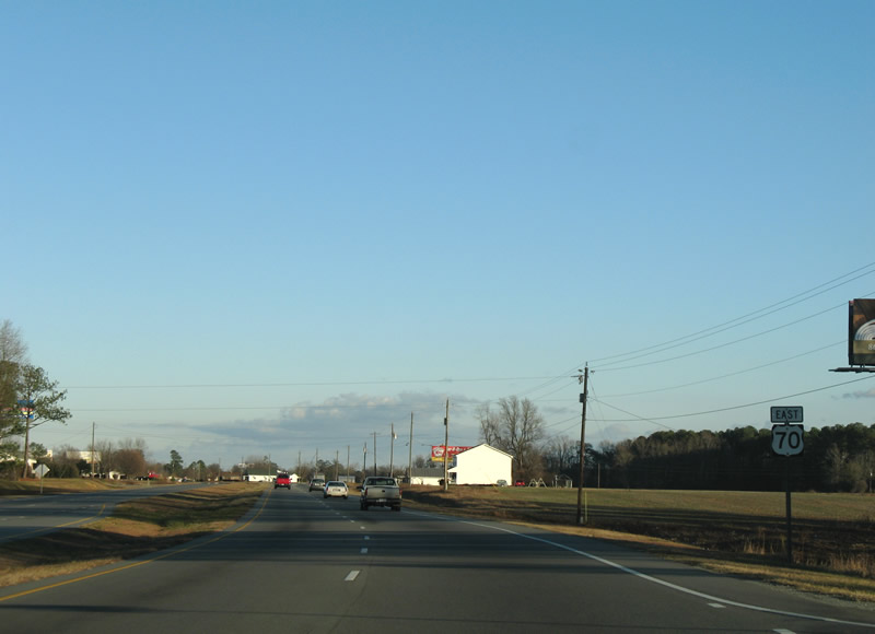
Pond Field Road (SR 2314) connects U.S. 70 with U.S. 70A west to Pine Level, 0.50 miles north of this shield assembly.
12/21/24

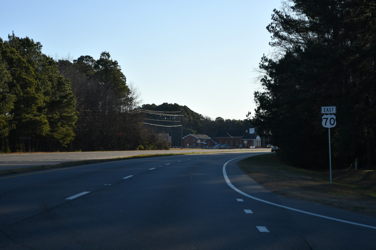
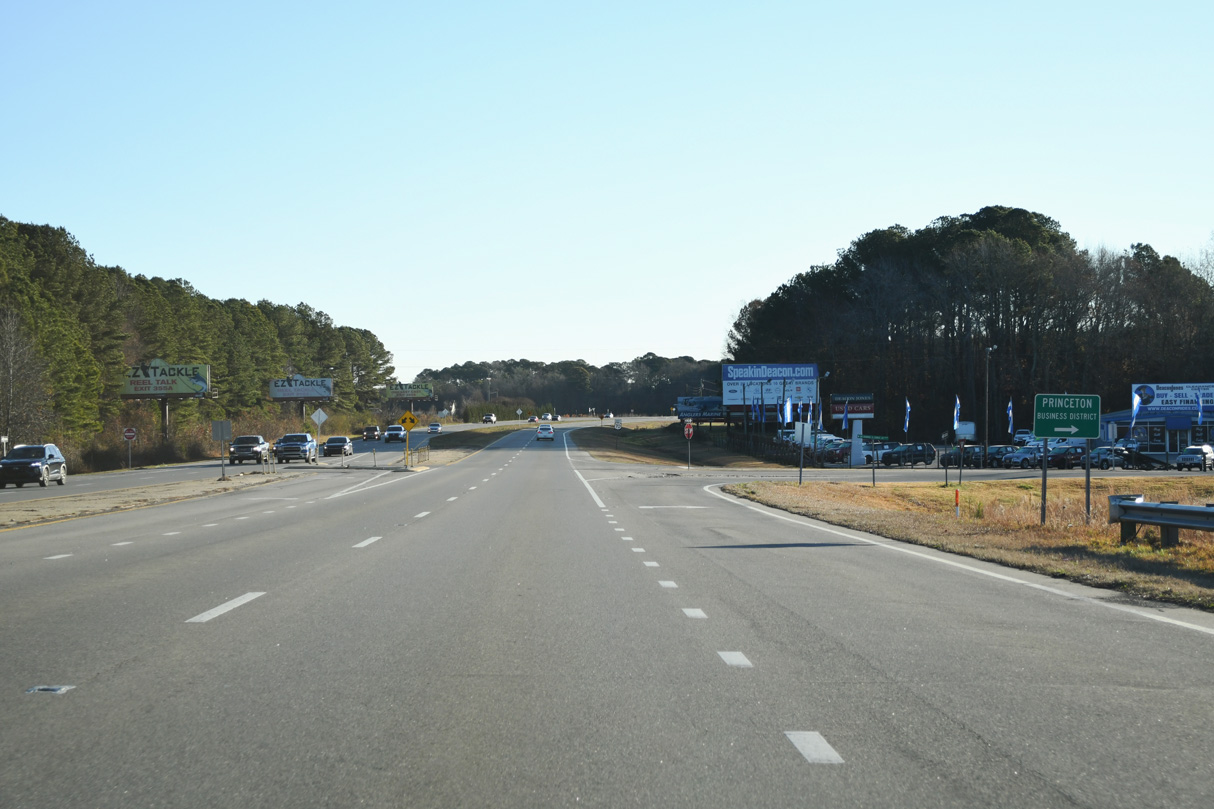
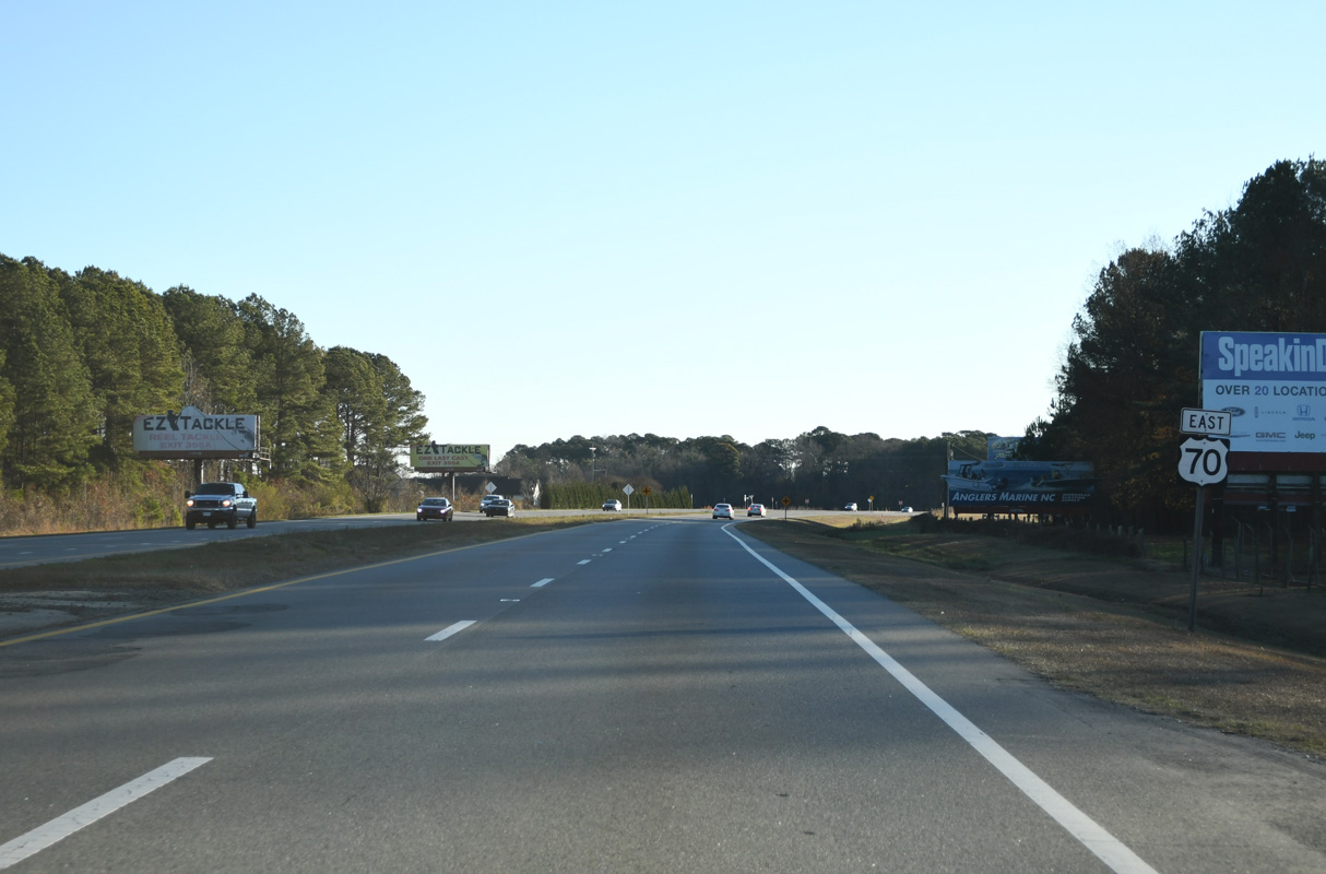
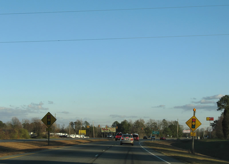
U.S. 70A from Selma and Pine Level converges with U.S. 70 eastbound next outside Princeton.
12/21/24
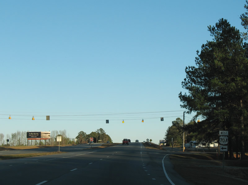
U.S. 70A angles southeast 4.3 miles from Pine Level to end at U.S. 70 opposite W Edwards Street (old U.S. 70) east into the town of Princeton. Shields for U.S. 70A on U.S. 70 east were removed after 2011.
12/21/24
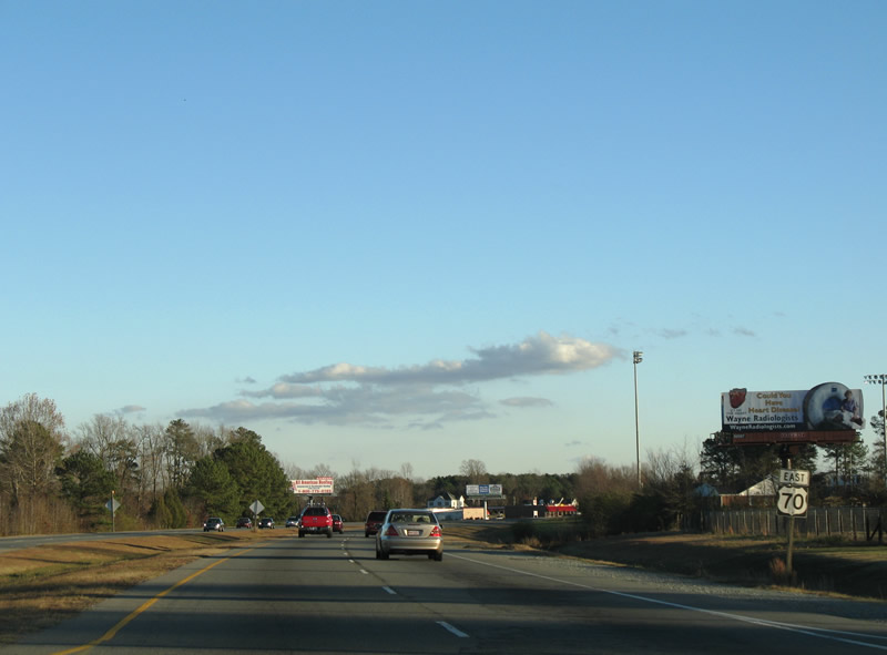
U.S. 70 encircles Princeton along a controlled access arterial bypass east from Edwards Street and the Norfolk Southern Railroad underpass.
12/21/24
Dr. Donnie H. Jones, Jr. Boulevard (SR 2556), the historic route of U.S. 70, leads southeast into the town of Princeton from U.S. 70 across from New Barbour Road (SR 2315).
12/21/24
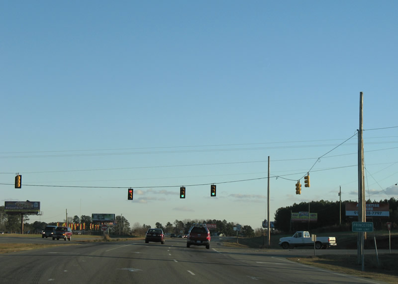
U.S. 70 arcs eastward from Barden Street to a signalized intersection with Rains Mill Road (SR 1002). This shield is no longer posted.
12/16/07
U.S. 70 reassurance marker east of Dr. Donnie H. Jones, Jr. Boulevard.
12/21/24
Pine Street (SR 1002) leads south from U.S. 70 and Rains Mill Road (SR 1002) to Downtown Princeton. SR 1002 crosses the Little River northeast en route to Pike Crossroads in Wayne County.
12/21/24
U.S. 70 passes Princeton High School east from Pine Street to N Pearl Street / Edwards Road (SR 2372).
12/16/07
Edwards Road extends east from Pearl Street at U.S. 70 to a quarry and Bridgers Road (SR 1331) in Wayne County.
12/21/24

Dr. Donnie H. Jones, Jr. Boulevard (SR 2556) returns to U.S. 70 at the east end of the Princeton bypass.
12/21/24
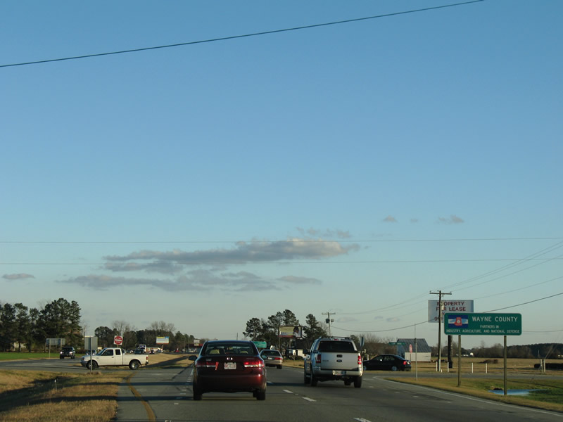
Leaving Princeton, U.S. 70 crosses into Wayne County. Wayne County is home of Goldsboro and Seymour Johnson Air Force base.
12/21/24
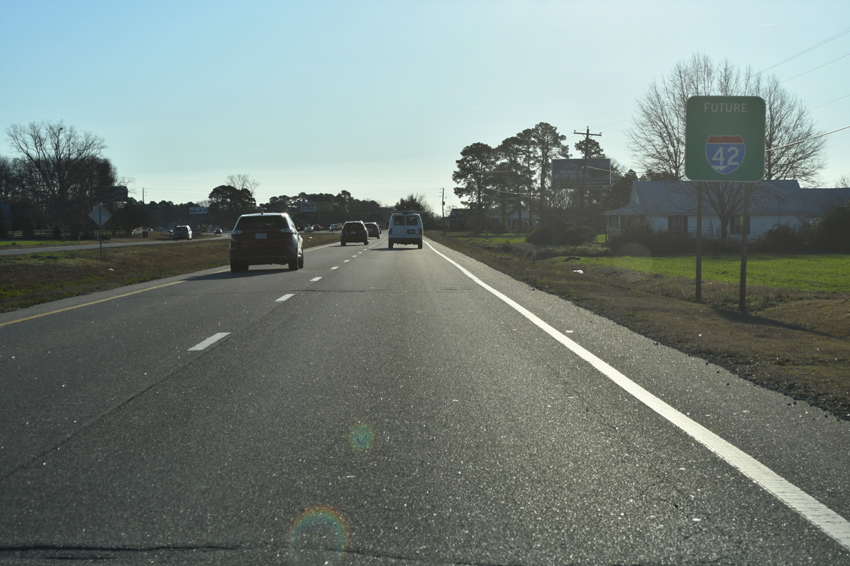
Future Interstate 42 corridor sign posted along U.S. 70 east of the Johnston County line and Luby Smith Road (SR 1229) south.
12/21/24
U-turns accommodating semi trucks line both directions of U.S. 70 east of Whitley Church Road (SR 1232).
12/21/24
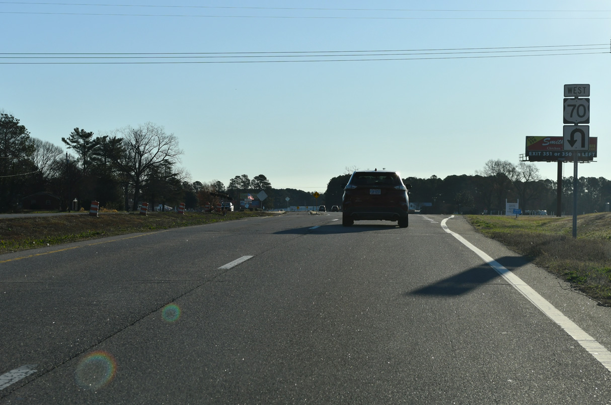
The U-turn for U.S. 70 west that is part of the R-CUT intersection with Ebenezer Church Road (SR 1234) south and Capps Bridge Road (SR 1234) north.
12/21/24

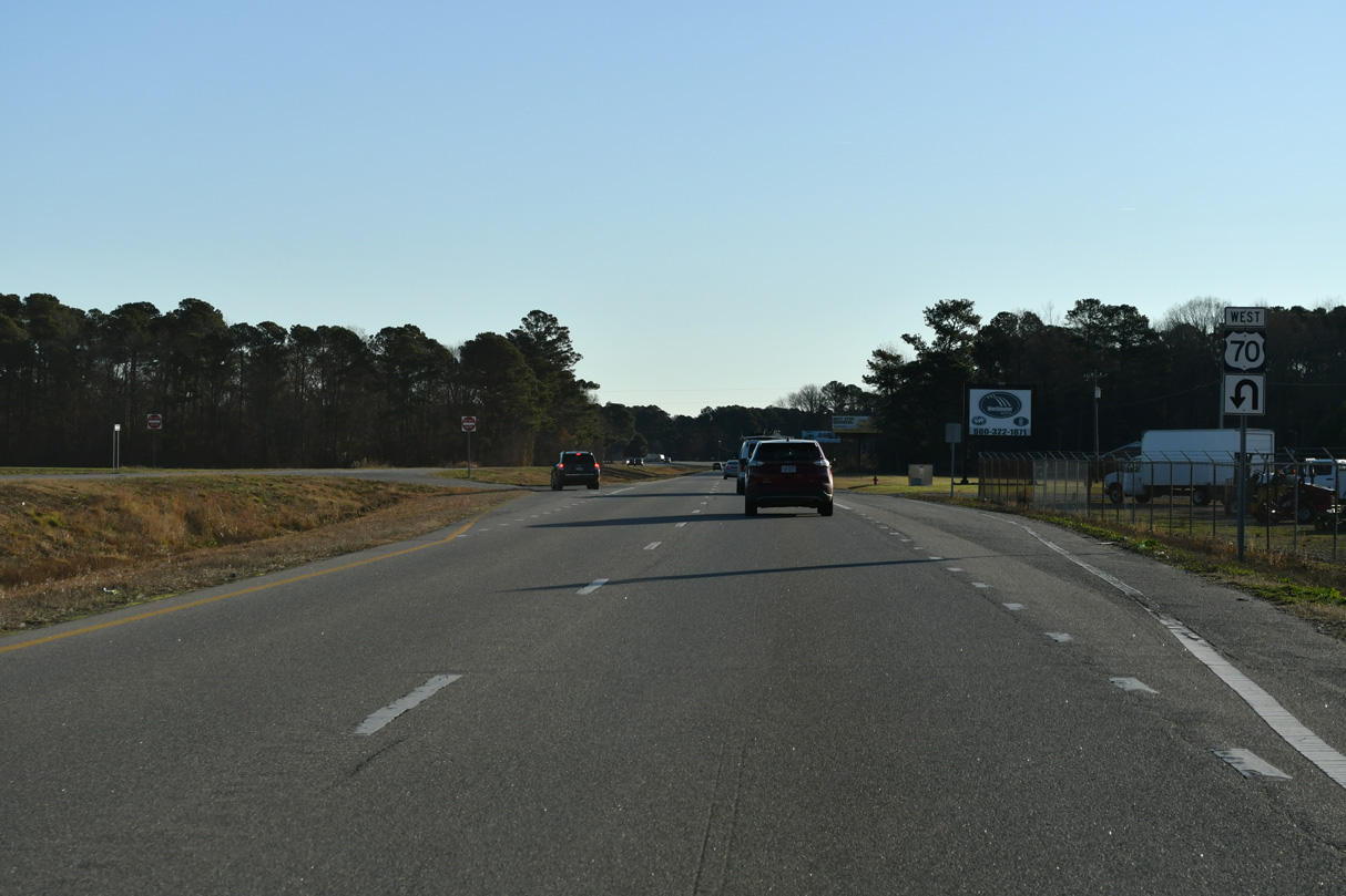
U.S. 70 east of the R-CUT intersection with Ebenezer Church Road (SR 1234) south and Capps Bridge Road (SR 1234) north.
12/21/24
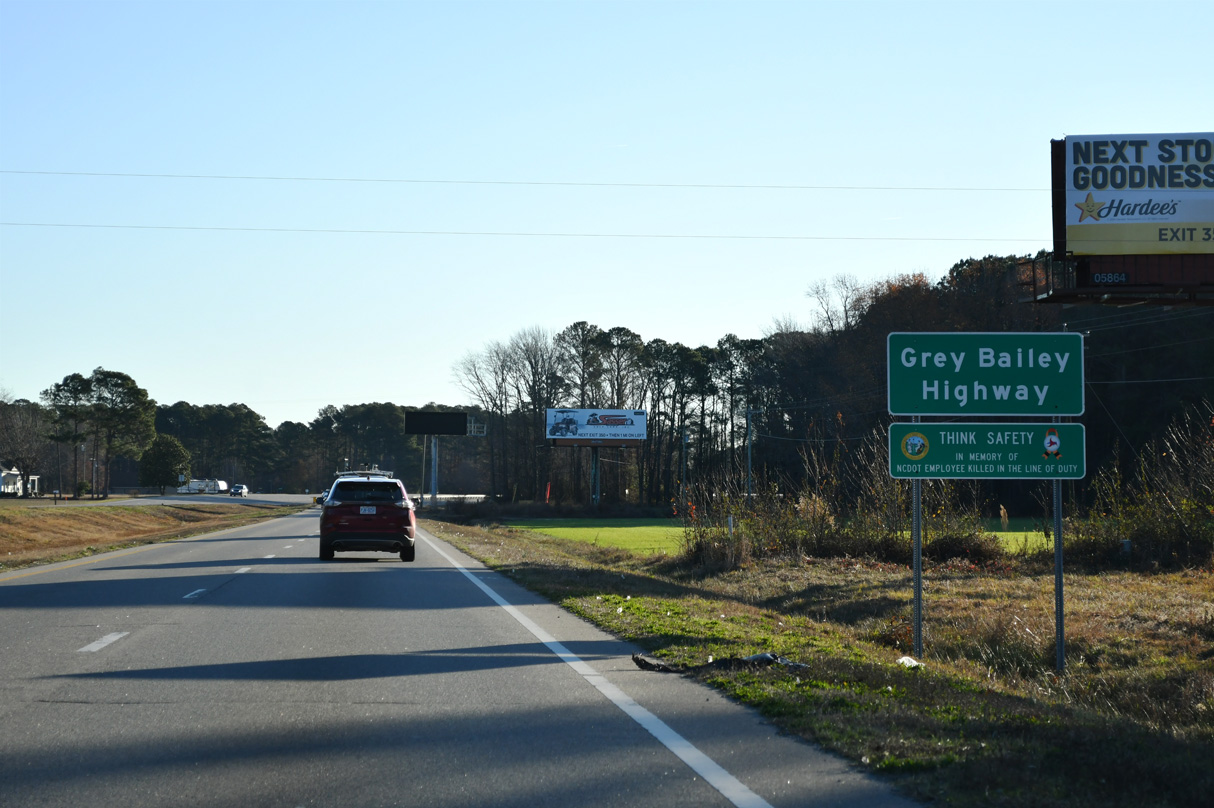
U.S. 70 east to Goldsboro is the Grey Bailey Highway.
12/21/24

Beyond Community Drive (SR 1237), U.S. 70 upgrades to a limited access freeway.
12/21/24
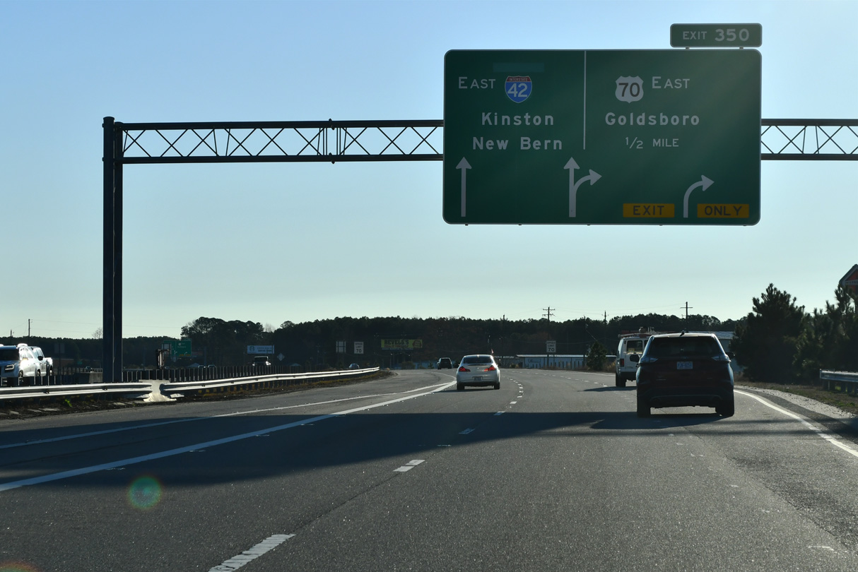
The Goldsboro section of Interstate 42 separates from U.S. 70 east at a wye interchange (Exit 350) in a half mile.
12/21/24

Interstate 42 along the Goldsboro Bypass was completed on May 27, 2016. The freeway was designated U.S. 70 Bypass until Fall 2024.
12/21/24
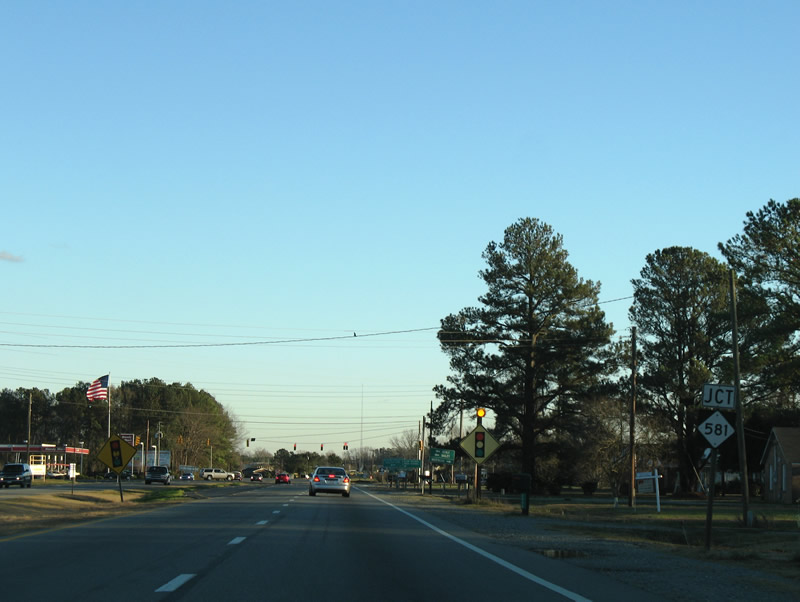
U.S. 70 turns southeast from I-42 at Exit 350 to meet NC 581 near the unincorporated community of Rosewood.
12/16/07
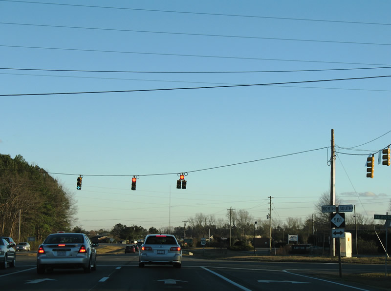
NC 581 zigzags south and east 4.14 miles from U.S. 70 to the south end of I-795 (NC 581 Connector). NC 581 north leads 15.2 miles to U.S. 301 near Kenly. NC 581 overall runs between NC 111 near Seymour Johnson A.F.B. to the south and Louisburg (U.S. 401) to the north.
12/16/07
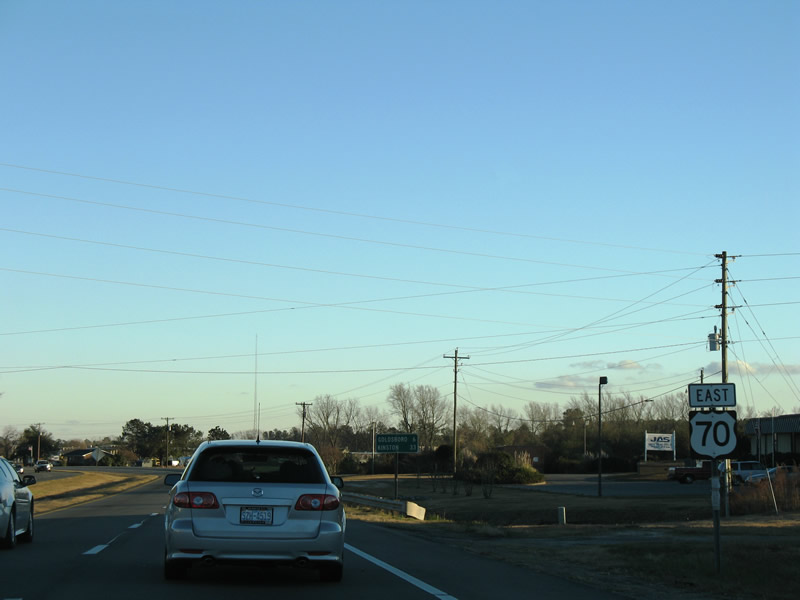
U.S. 70 continues three miles east from NC 581 to the city of Goldsboro.
12/16/07
U.S. 70 enters the city of Goldsboro across the Little River and proceeds east to a parclo interchange with Interstate 795. Signed in November 2007, I-795 replaced U.S. 117 along the freeway northward to U.S. 264 at Wilson.
12/16/07
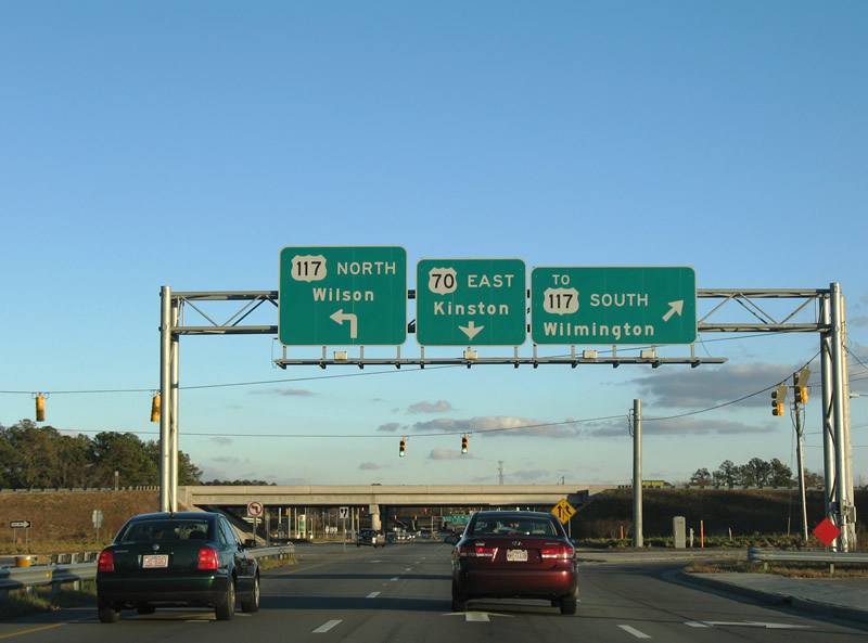
NC 581 Connector extends 0.64 miles from the south end of I-795 at U.S. 70 to NC 581 at W Ash Street (SR 2075). NC 581 overtakes the four lane highway to U.S. 13/117. U.S. 117 joins Goldsboro with Mount Olive and I-40 east to Wilmington.
12/16/07
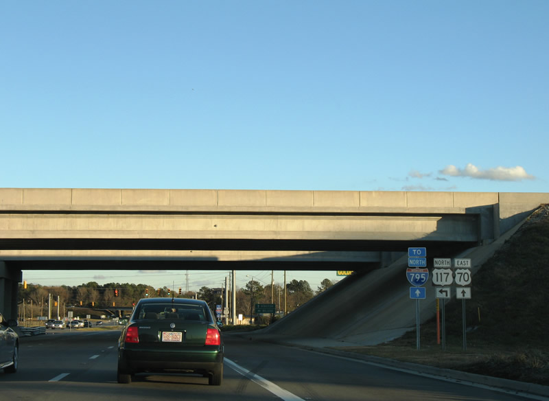
Connecting Goldsboro with U.S. 264/Future I-587 at Wilson and I-95 north to Rocky Mount, Interstate 795 runs northward 25.43 miles from U.S. 70.
12/16/07
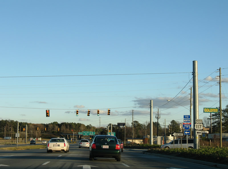
Beyond Goldsboro, I-795 constitutes a rural freeway to Pikeville, Fremont and Black Creek. I-795 was designated in October 2007 in place of U.S. 117 so that trucks exceeding 45 feet in length were permitted along the freeway.
12/16/07
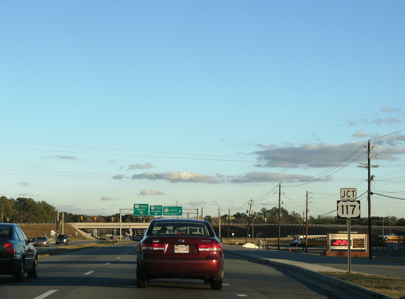
U.S. 70 intersects Elizabeth Street between the adjacent interchanges with I-795/NC 581 Connector and U.S. 13/117. Bypass for U.S. 117 and Wilmington were greened out on this guide sign.
12/14/17
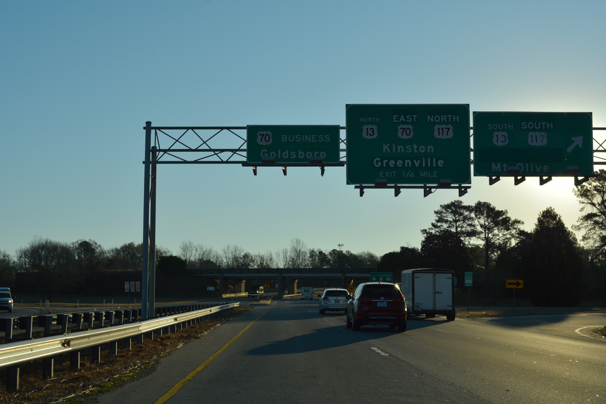
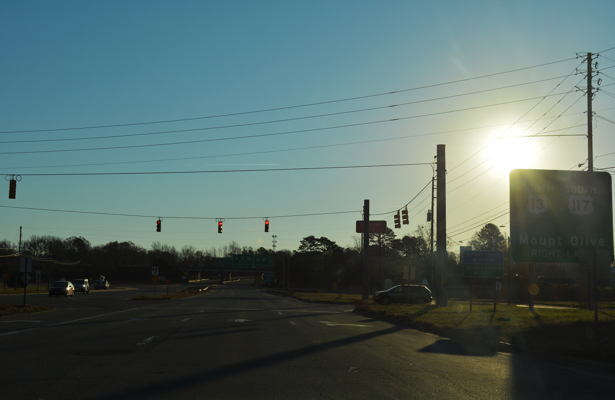
U.S. 13/117 combine along an expressway encircling the Goldsboro street grid north from NC 581 and east U.S. 70 Business along E Ash Street. U.S. 13/117 overlap south 5.5 miles. U.S. 13 branches west to Newton Grove while U.S. 117 continues south to Mount Olive.
12/14/17
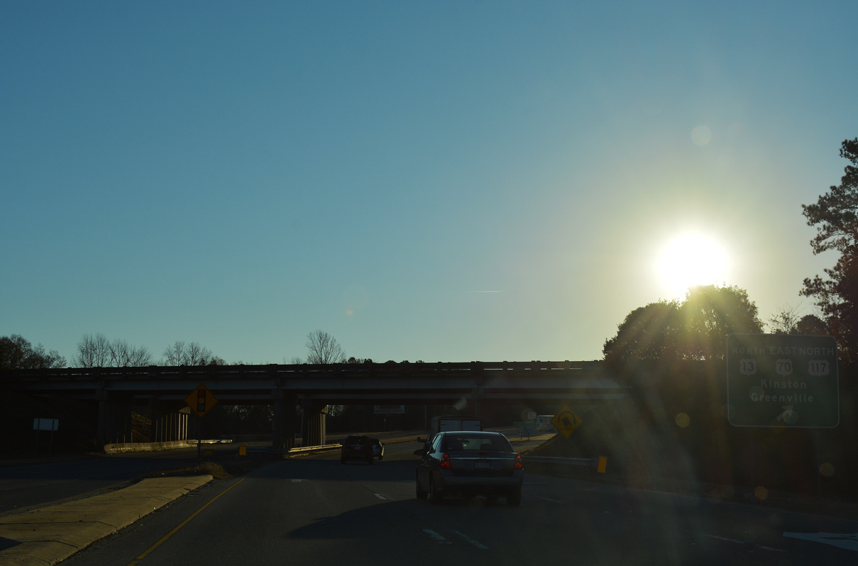
U.S. 70 combines with U.S. 13/117 to bypass Goldsboro from W Grantham Street and the beginning of U.S. 70 Business. U.S. 13 overlaps with U.S. 70 east to N Berkeley Boulevard en route to Snow Hill and Greenville.
12/14/17
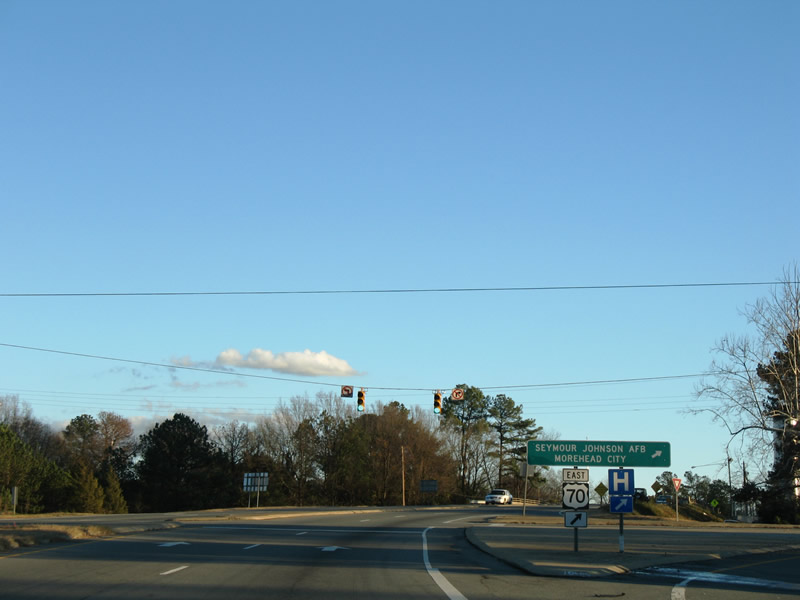
U.S. 70 east to Berkeley Boulevard (SR 1579) south leads to Seymour Johnson Air Force Base
12/16/07
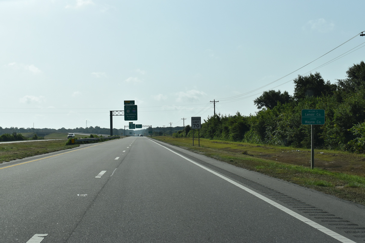
U.S. 70 converges with Interstate 42 just beyond the Lenoir County line east of Walnut Creek.
08/28/21
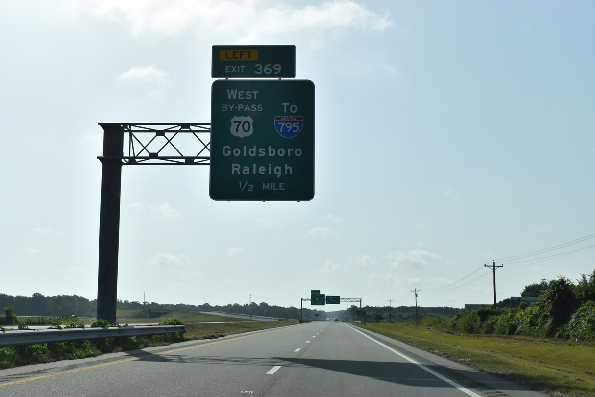
A trumpet interchange at Exit 369 joins U.S. 70 east with Interstate 42 west back to Goldsboro.
08/28/21
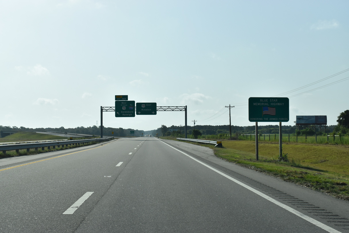
U.S. 70 in Lenoir County is the Blue Star Memorial Highway.
08/28/21
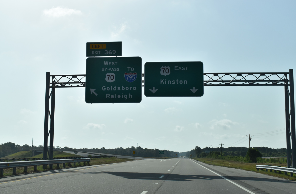
Left Exit 369 separates from U.S. 70 for I-42 west toward Princeton.
08/28/21
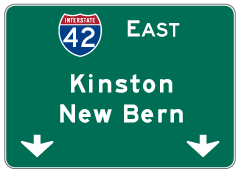
Photo Credits:
- Alex Nitzman: 12/16/07, 08/28/21, 12/21/24
- ABRoads: 12/14/17
Connect with:
Page Updated Friday December 12, 2025.