
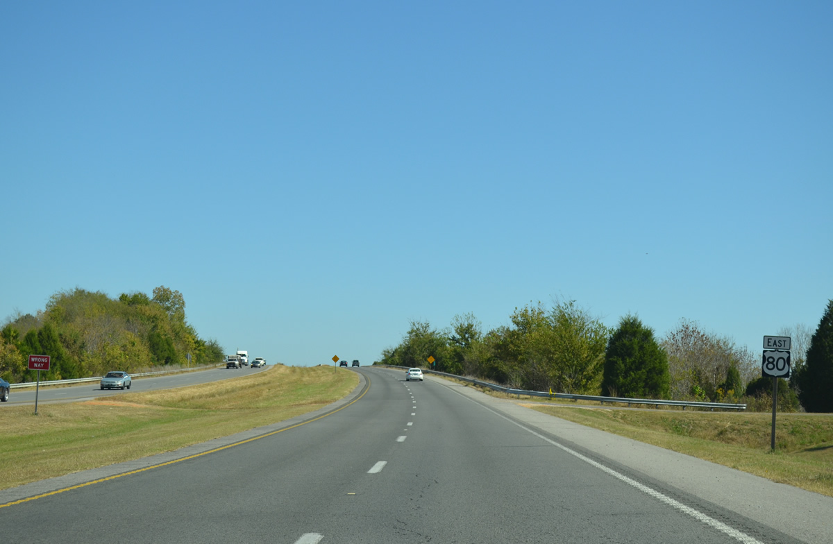
U.S. 80 East - Cuba to Uniontown

 East
East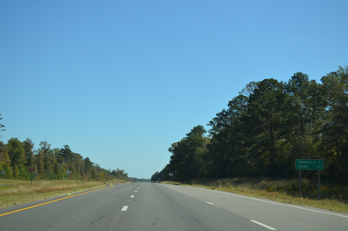
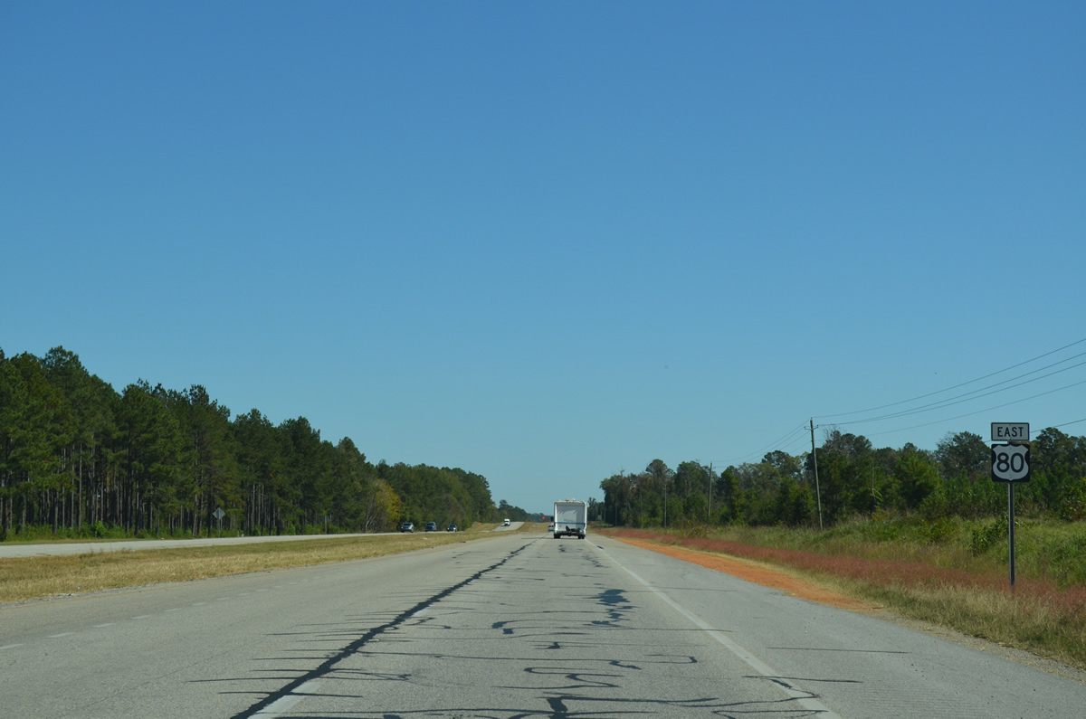
U.S. 80 travels from SR 28 east 15 miles to Demopolis and 65 miles to Selma.
10/21/12

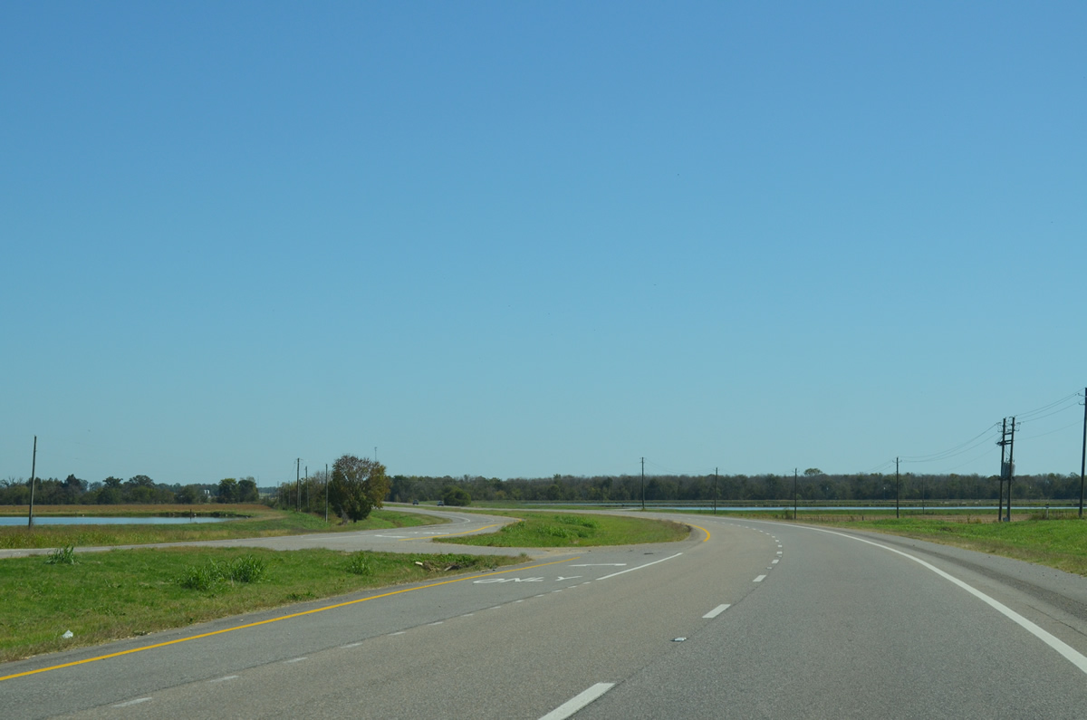
SR 28 combines with U.S. 80 east for a 4.53 mile long overlap from near Coatopa to Moscow in Marengo County.
10/21/12
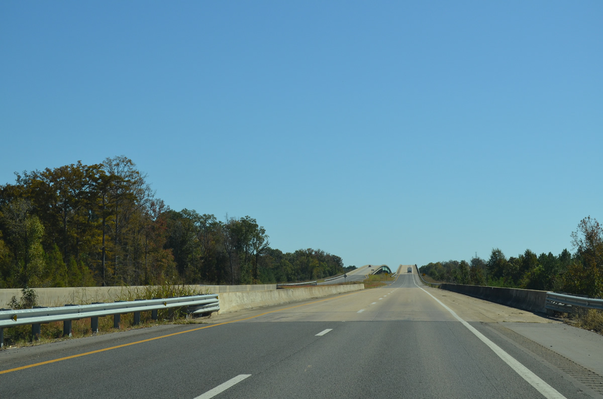
Advancing to the Tombigbee River crossing along U.S. 80/SR 28 east. The river separates Sumter and Marengo Counties.
10/21/12
Spanning the Tombigbee River, U.S. 80/SR 28 lower into Marengo County near the settlement of Moscow. Before 1978, U.S. 80 followed a southward alignment through Moscow. Widening of the highway occurred here by 2006.
10/21/12
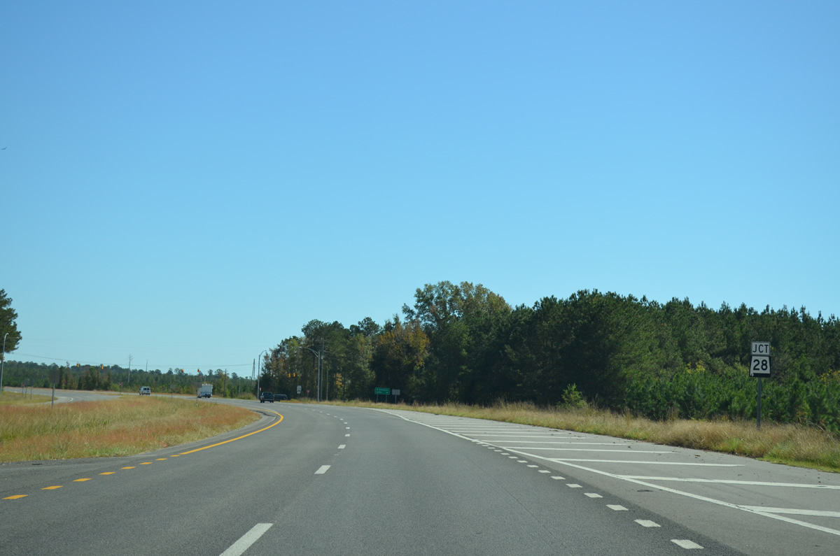
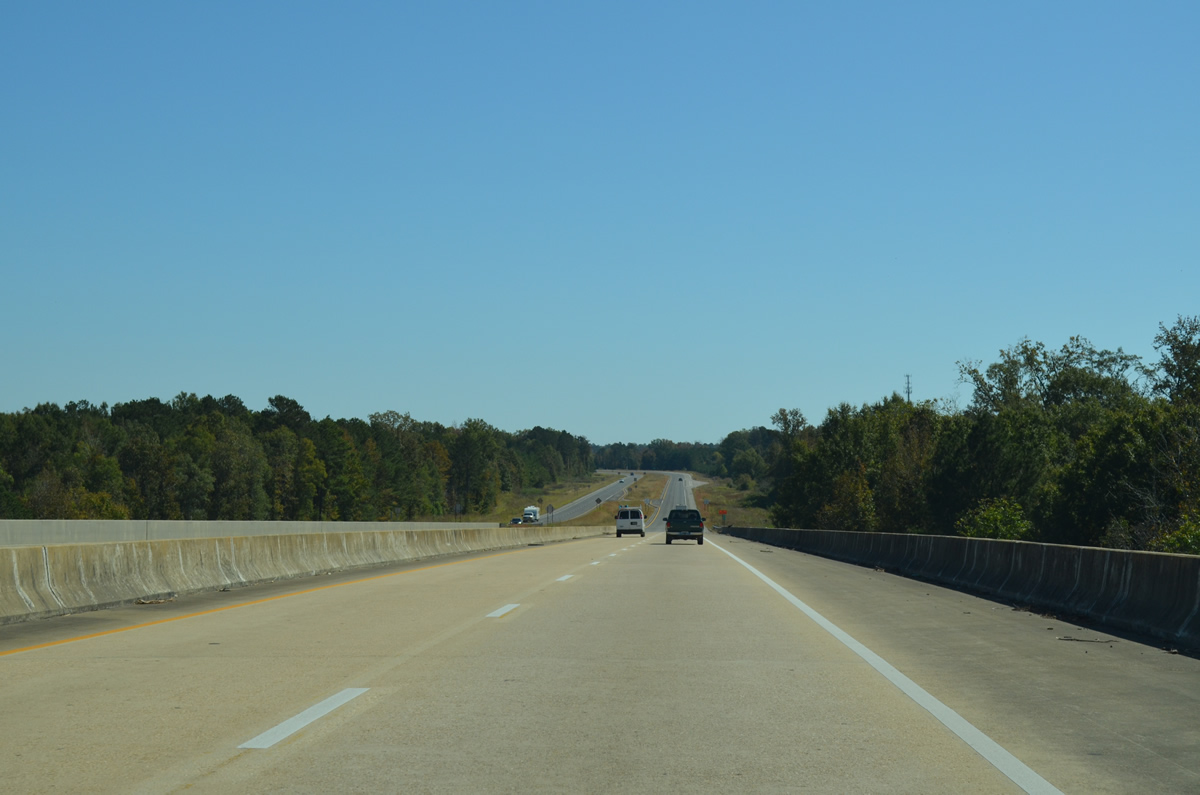
SR 28 parts ways with U.S. 80 along a 7.25 mile long course to Jefferson. Old U.S. 80 ties in from the southwest nearby.
10/21/12
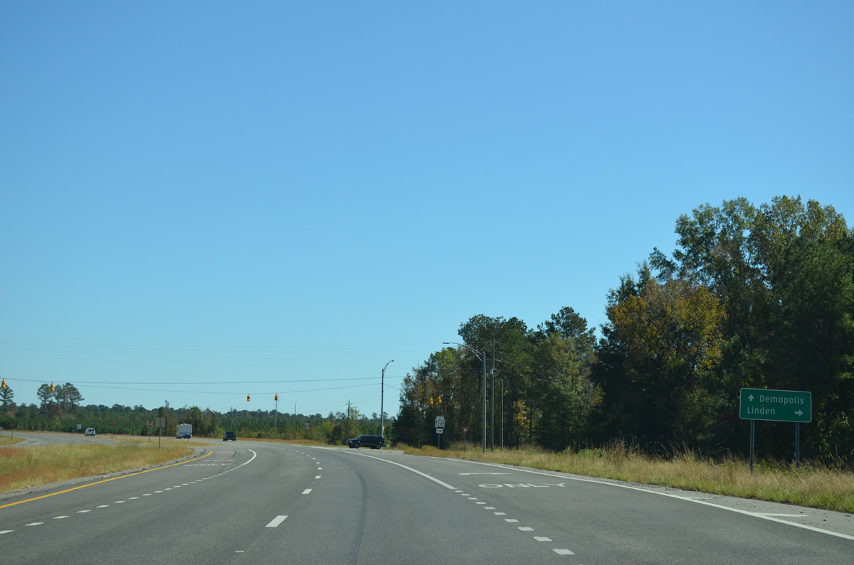
SR 28 leads southeast 16 miles to the Marengo County seat of Linden while U.S. 80 bends northeast 9.80 miles to Demopolis.
10/21/12
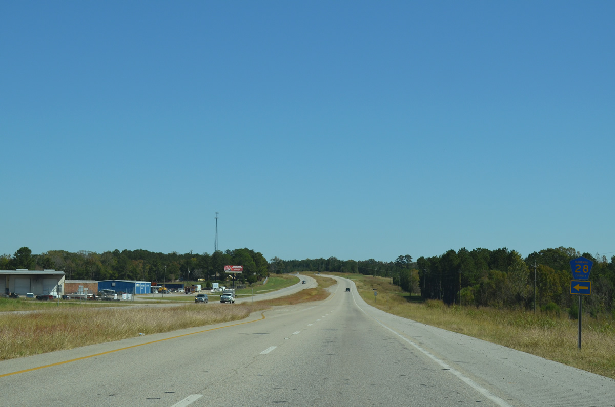
An access road to a paper plant ties into the east split of U.S. 80/SR 28 from the north. The 97.29 mile long route of SR 28 concludes at SR 21 in Wilcox County.
10/21/12
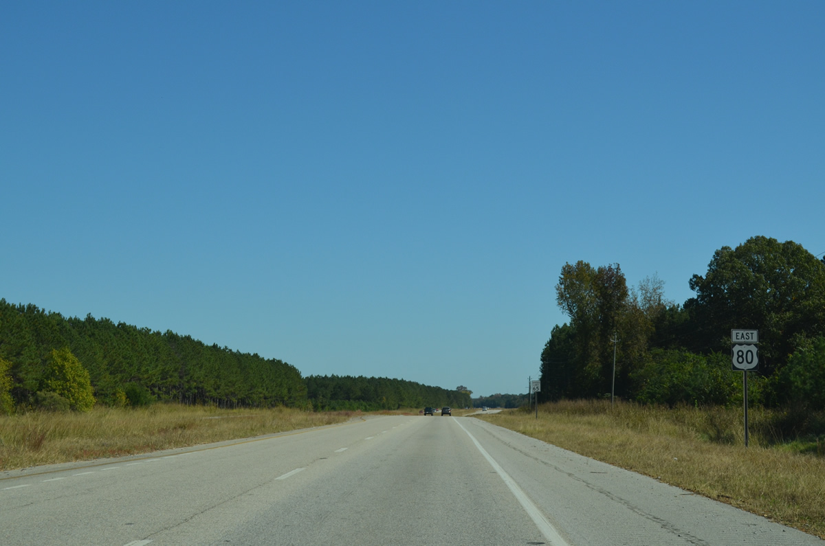
East

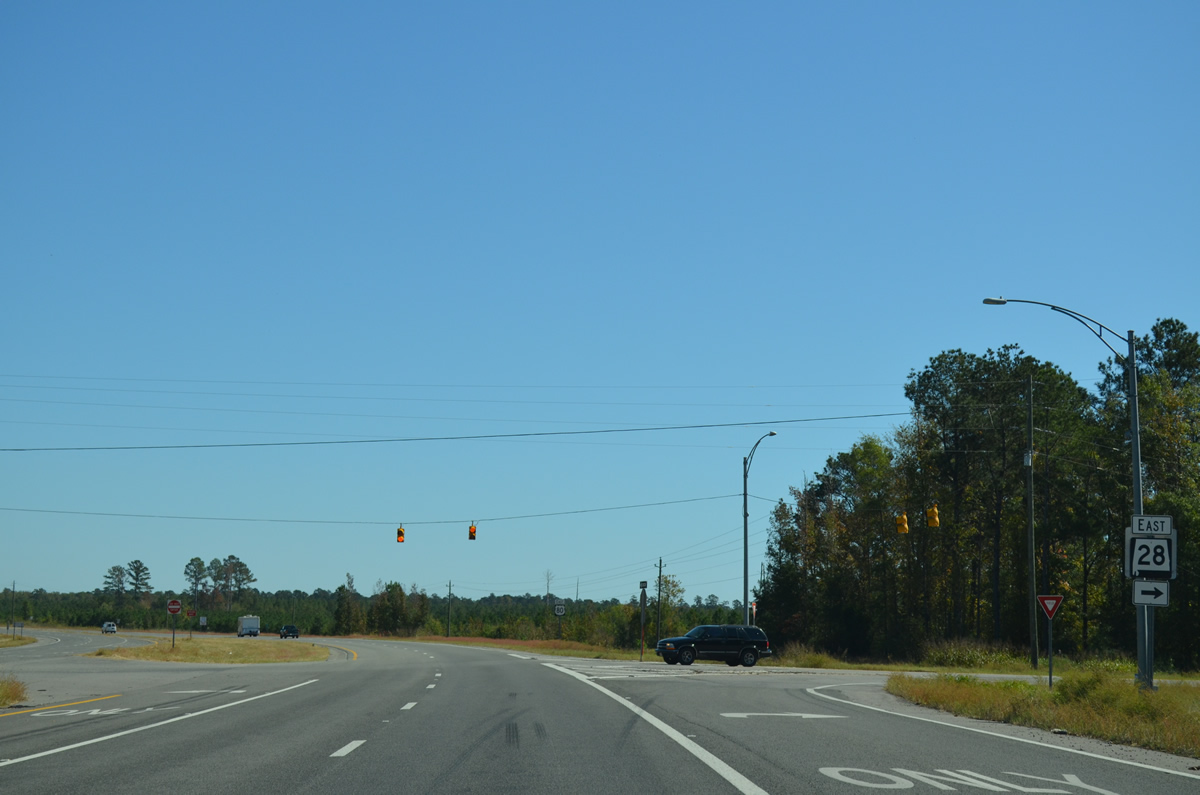
Continuing east from SR 28 on U.S. 80.
10/21/12
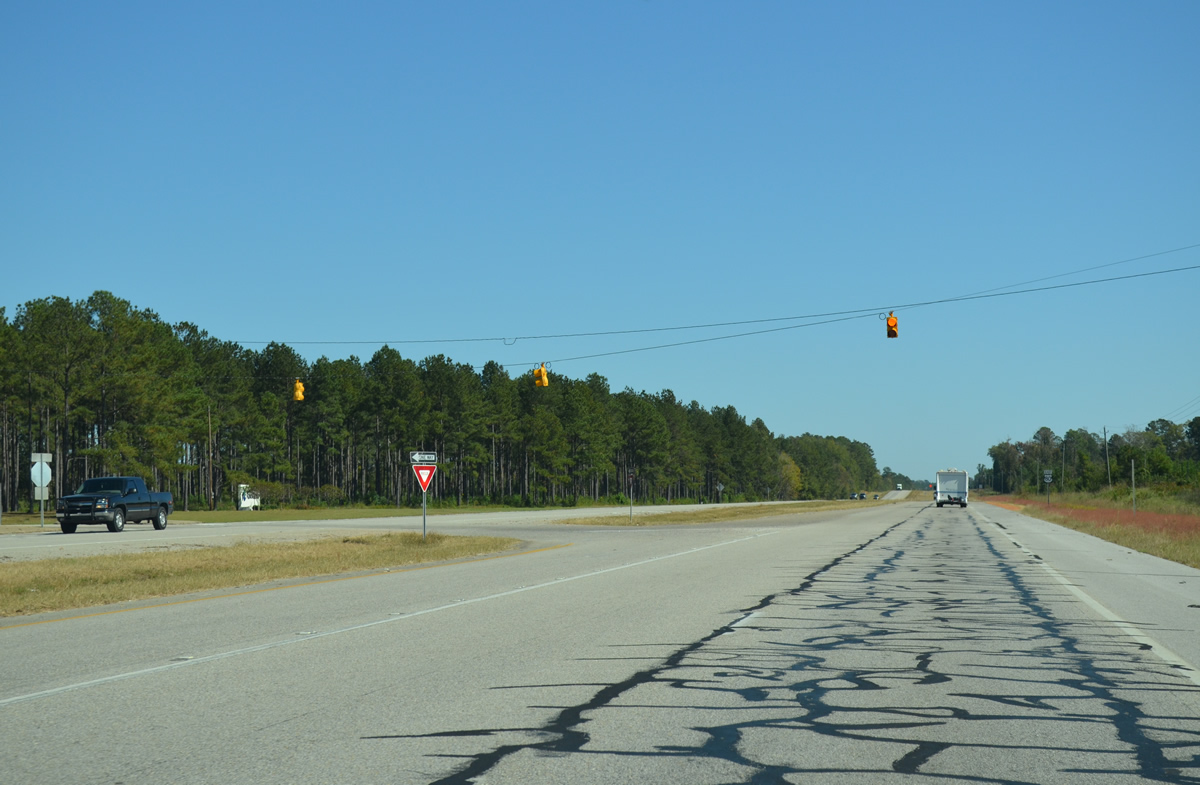
A flasher operates at the intersection joining U.S. 80 with a second access road to the nearby paper plant along the Tombigbee River.
10/21/12
Alabama Gulfcoast Railway and Norfolk Southern Railroads line stem east from the adjacent paper plant and parallel the north side of U.S. 80 through Salt Well.
10/21/12

Industrial Park Road spurs north from U.S. 80 ahead of this reassurance shield. The NS Railroad line turns southward and crosses the highway at-grade ahead.
10/21/12
Boykin Field Road north follows the NS Railroad crossing to Demopolis Municipal Airport (DYA) ahead of the next U.S. 80 shield at Salt Well.
10/21/12
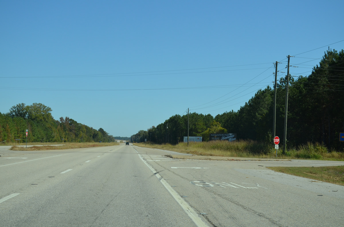
Marengo County Route 57 meanders 5.6 miles south from U.S. 80 to SR 28 at Jefferson.
10/21/12
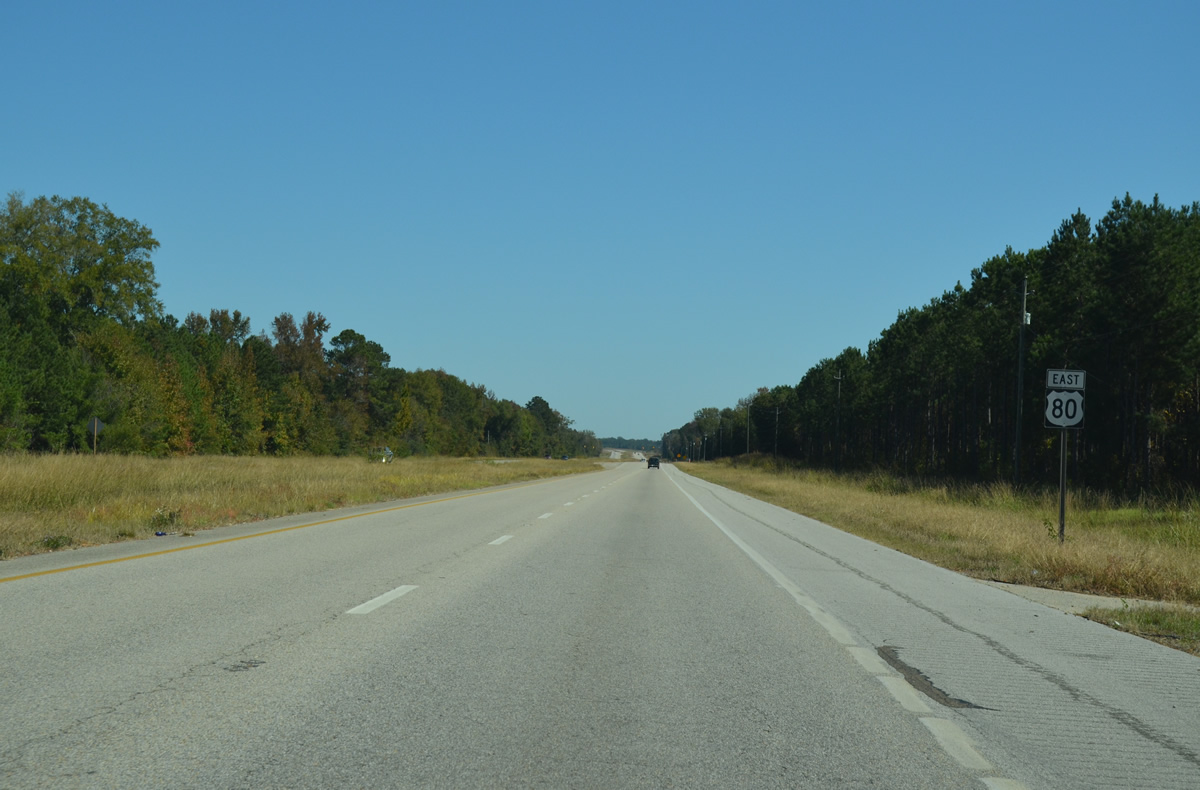
U.S. 80 continues eastward from CR 57 mainly through timberland over the succeeding two miles.
10/21/12
CR 28 constitutes a one mile long loop north of U.S. 80 along the former alignment of the US highway.
10/21/12

U.S. 80 navigates along a four lane curve as CR 28 arcs northward to a handful of rural roads.
10/21/12
CR 28 returns at U.S. 80 as the speed limit reduces on the four lane highway ahead of the Demopolis city line.
10/21/12
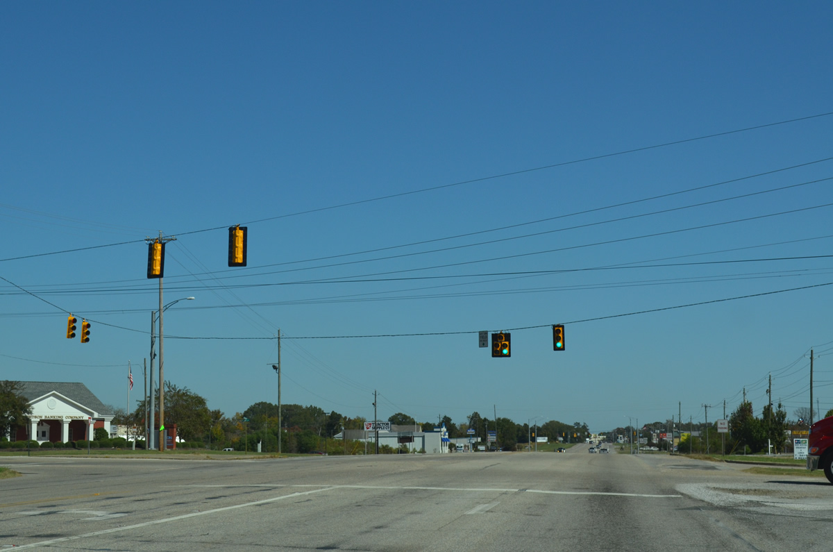
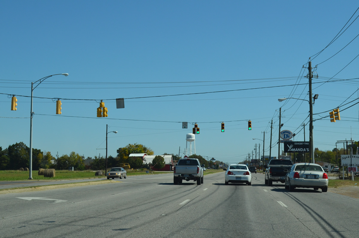
Entering Demopolis, U.S. 80 transitions from a four lane, divided highway into a five lane boulevard. Maria Avenue intersects U.S. 80 at the first traffic light in the city.
10/21/12
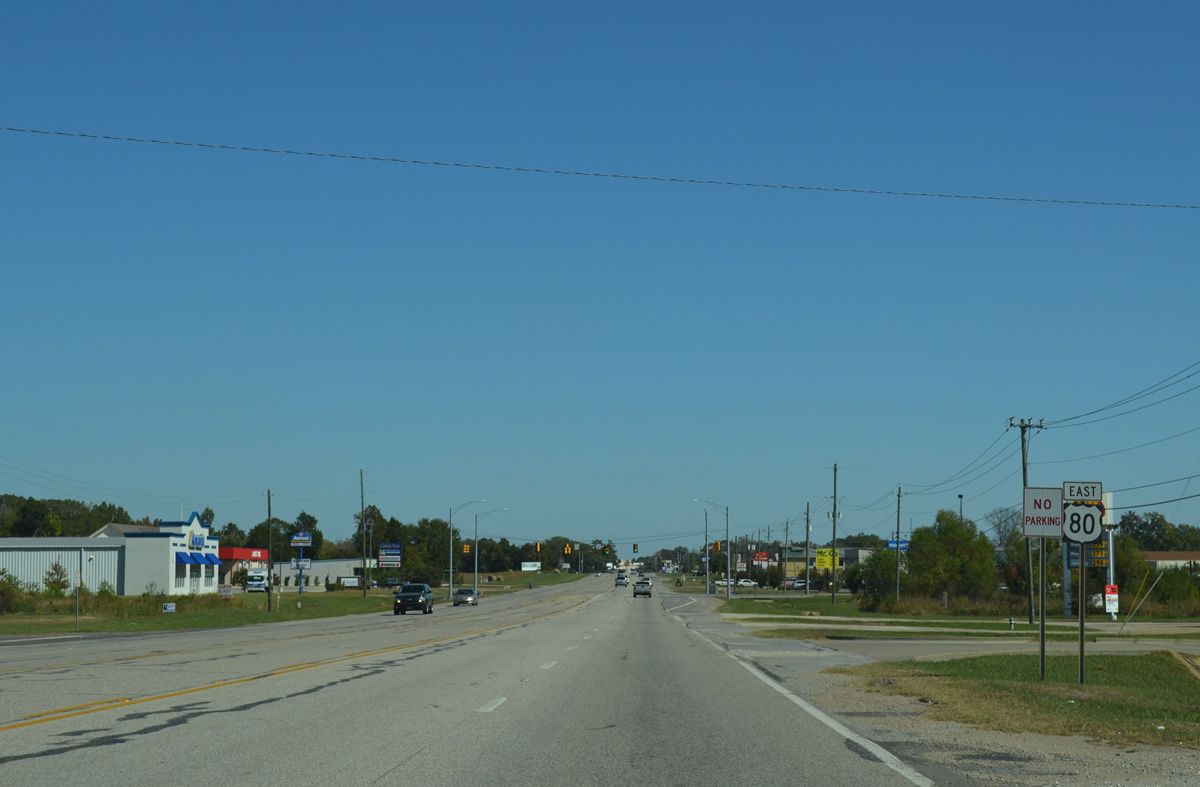
Big box stores and other retail line U.S. 80 beyond Maria Avenue.
10/21/12

A third traffic light operates along U.S. 80 at Tiger Lane, the access road to Demopolis High School.
10/21/12
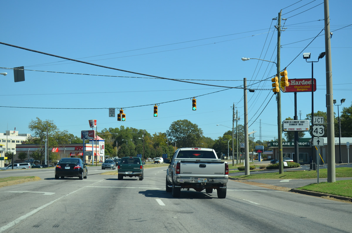
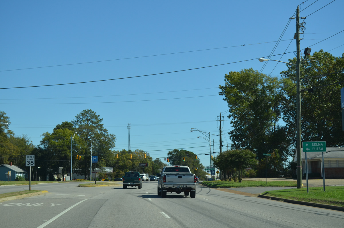
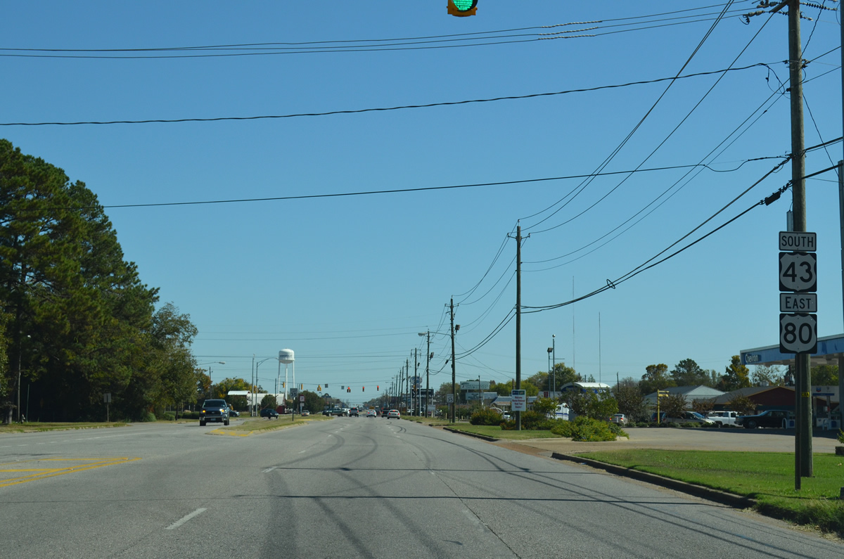
A median separates traffic along U.S. 80 east ahead of U.S. 43. Walnut Avenue heads north from U.S. 80 toward Downtown Demopolis.
10/21/12
Connecting Demopolis with Eutaw in Greene County, forthcoming U.S. 43 follows Cedar Avenue north to Capitol Street in Downtown.
10/21/12
U.S. 43 south combines with U.S. 80 east from Cedar Avenue in Demopolis. U.S. 43 constitutes a 410 mile long highway south to Mobile and north to Tuscaloosa, Florence and Columbia, Tennessee.
10/21/12
 South East
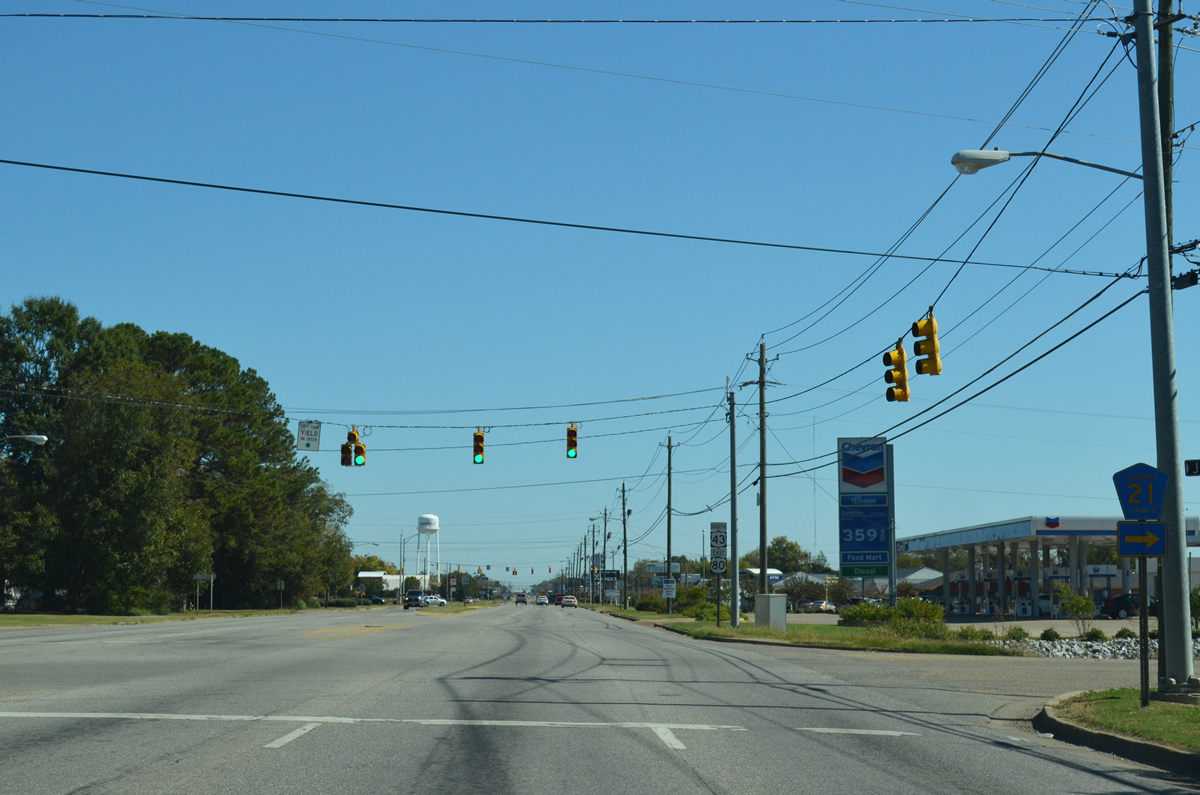
CR 21 (Jefferson Road) stems south from U.S. 43/80 to the community of Jefferson at SR 28. CR 19 south from CR 21 provides an alternate route to U.S. 43 for traffic bound to the county seat of Linden as well.
10/21/12
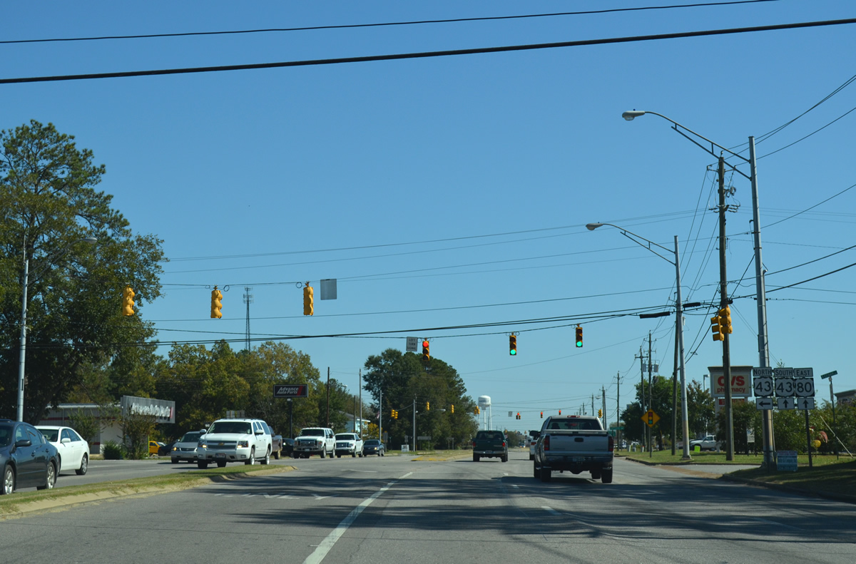
U.S. 43 south and U.S. 80 east overlap for 0.95 miles.
10/21/12
Front Street south and Rosedale Drive north come together at this traffic light along U.S. 43/80.
10/21/12
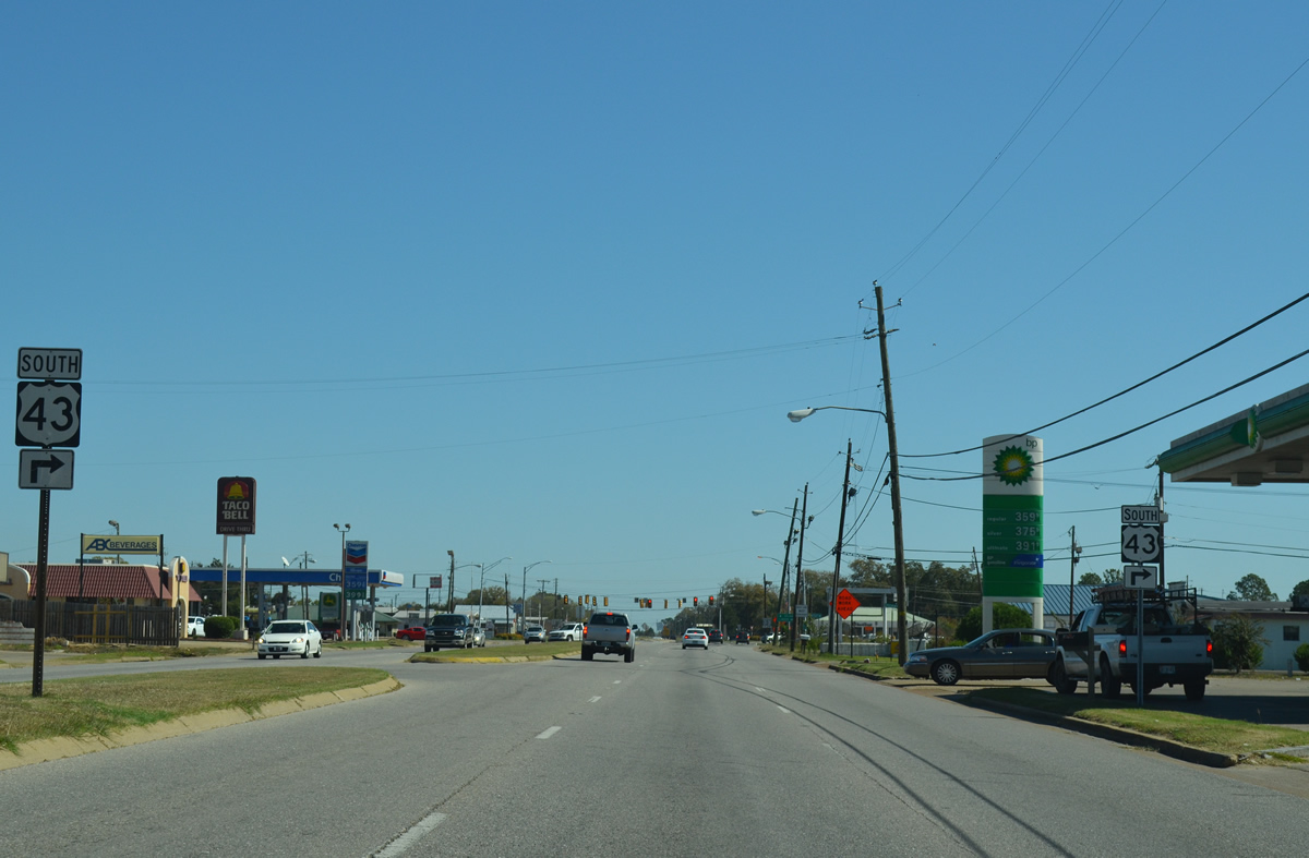
U.S. 43 branches south from the commercialized stretch along U.S. 80 to Old Spring Hill, Providence and Linden.
10/21/12
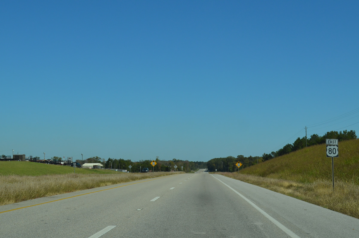
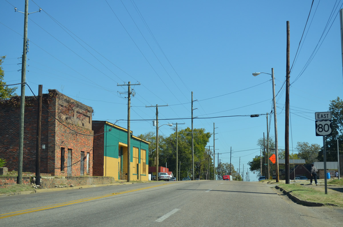
U.S. 80 continues east from U.S. 43, 49 miles to Selma. U.S. 43 proceeds south 15 miles to Linden and 43 miles to Thomasville.
10/21/12
East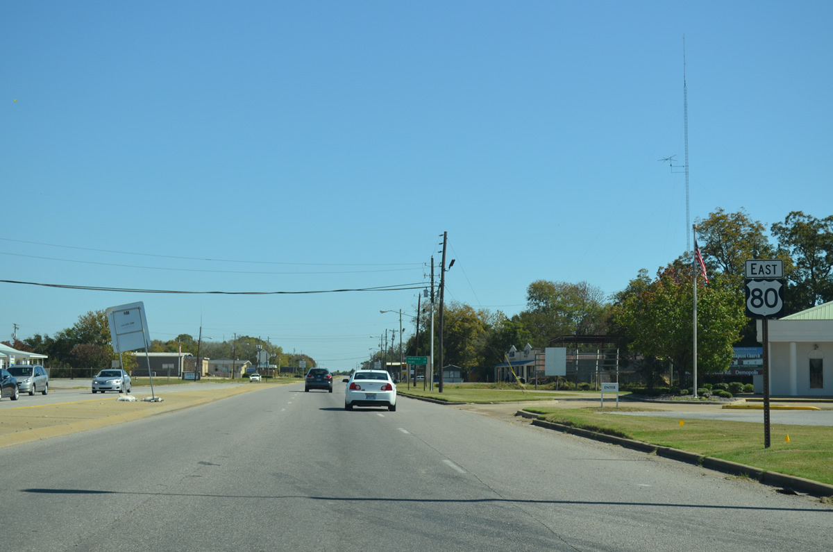
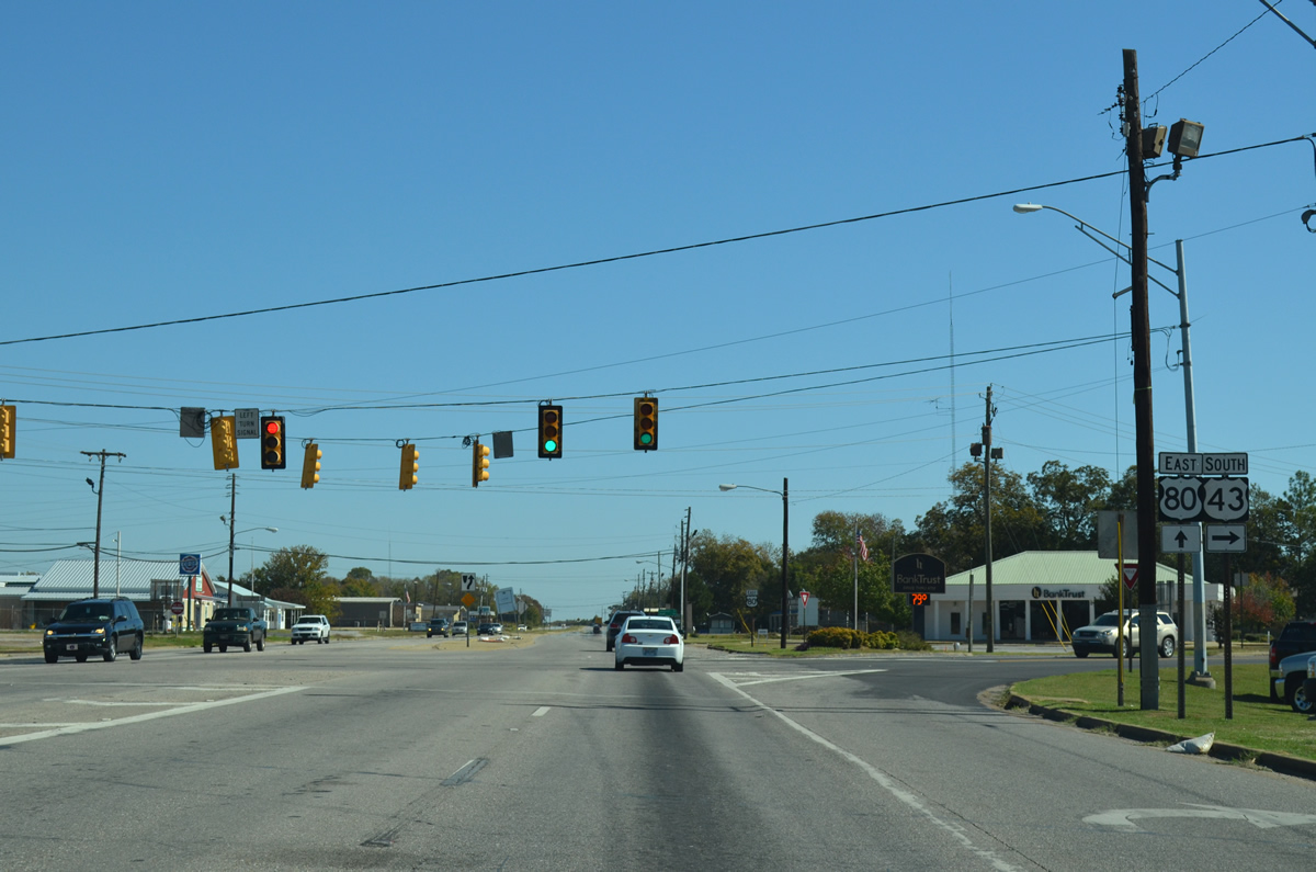
Advancing beyond U.S. 43 south and Pettus Street north, U.S. 80 leaves the commercial stretch in Demopolis by a large quarry.
10/21/12
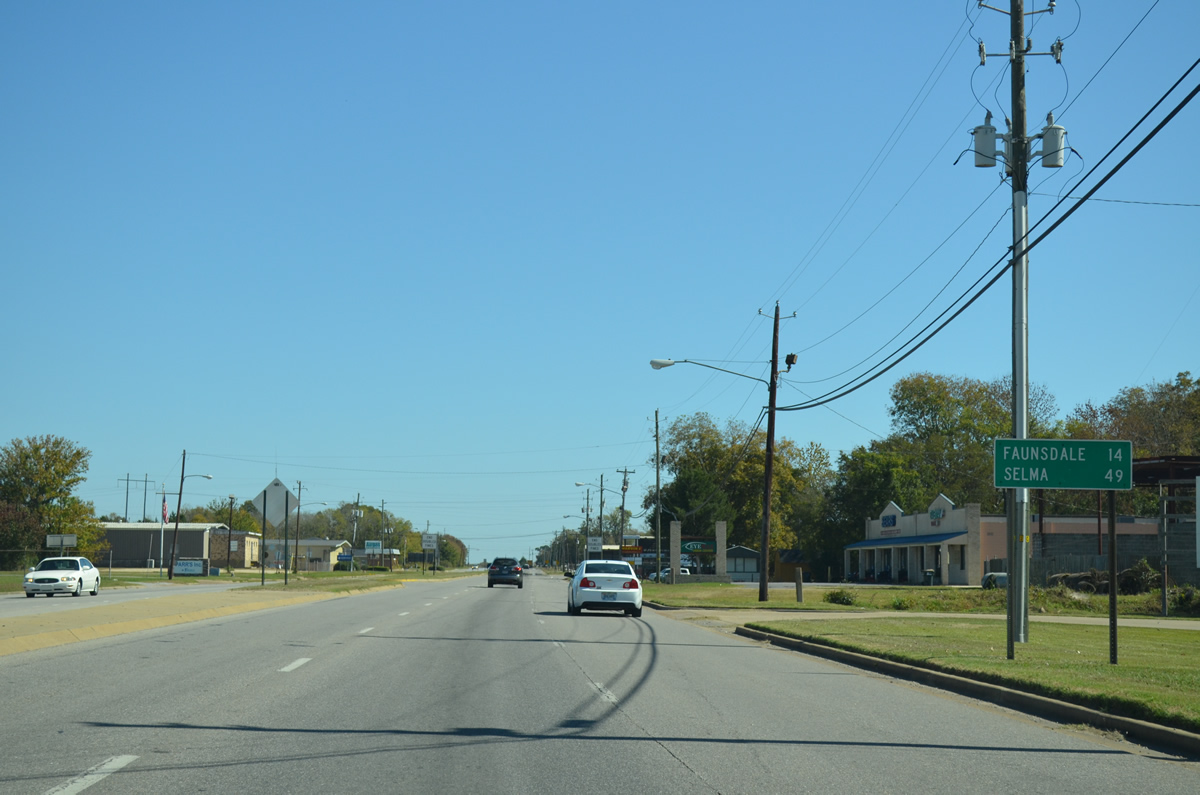
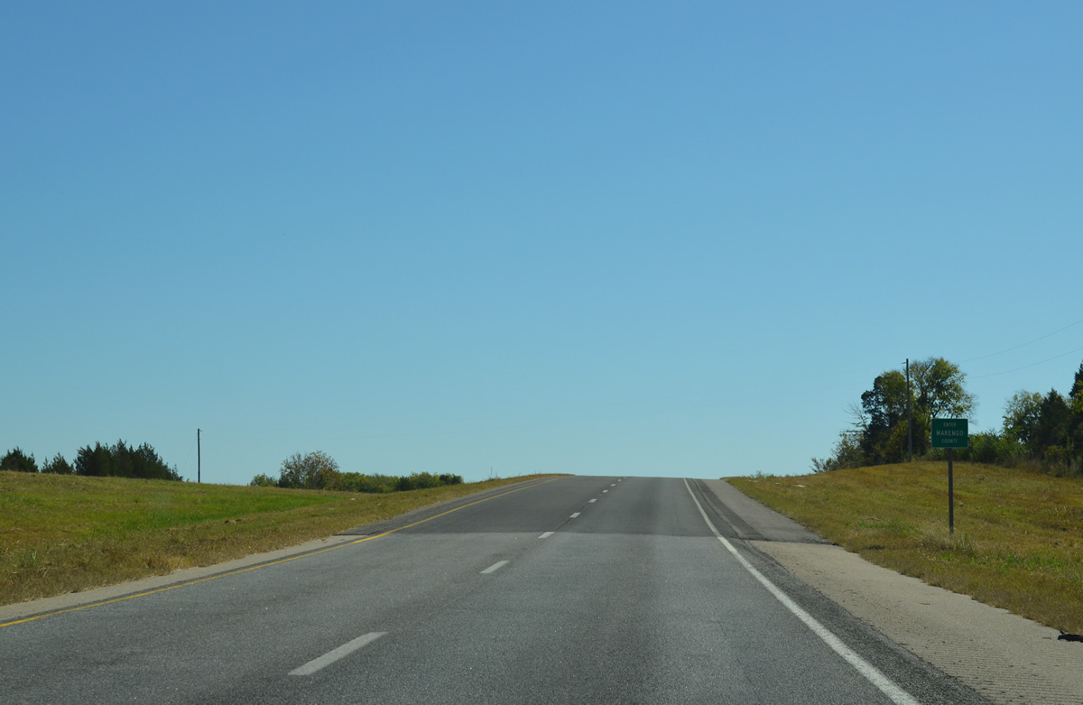
Faunsdale is the next community along U.S. 80 east from Demopolis in 14 miles.
10/21/12
Nearing the eastern city limit of Demopolis, U.S. 80 spans French Creek by an assortment of rural residential streets.
10/21/12
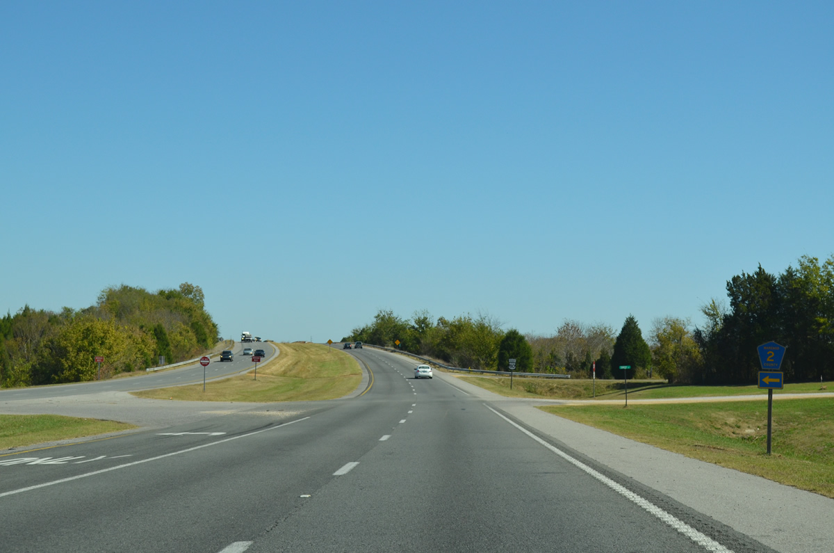
Marengo County Route 2 spurs north from U.S. 80 at Sunset Road and Alfalfa. CR 2 enters Hale County nearby and follows a stair stepped route east from near Arcola to SR 69.
10/21/12
U.S. 80 east vacates the city of Demopolis and spans a Nortfolk Southern Railroad.
10/21/12
A short stretch of old U.S. 80 alignment appears on the south side of the route beyond the NS Railroad underpass.
10/21/12
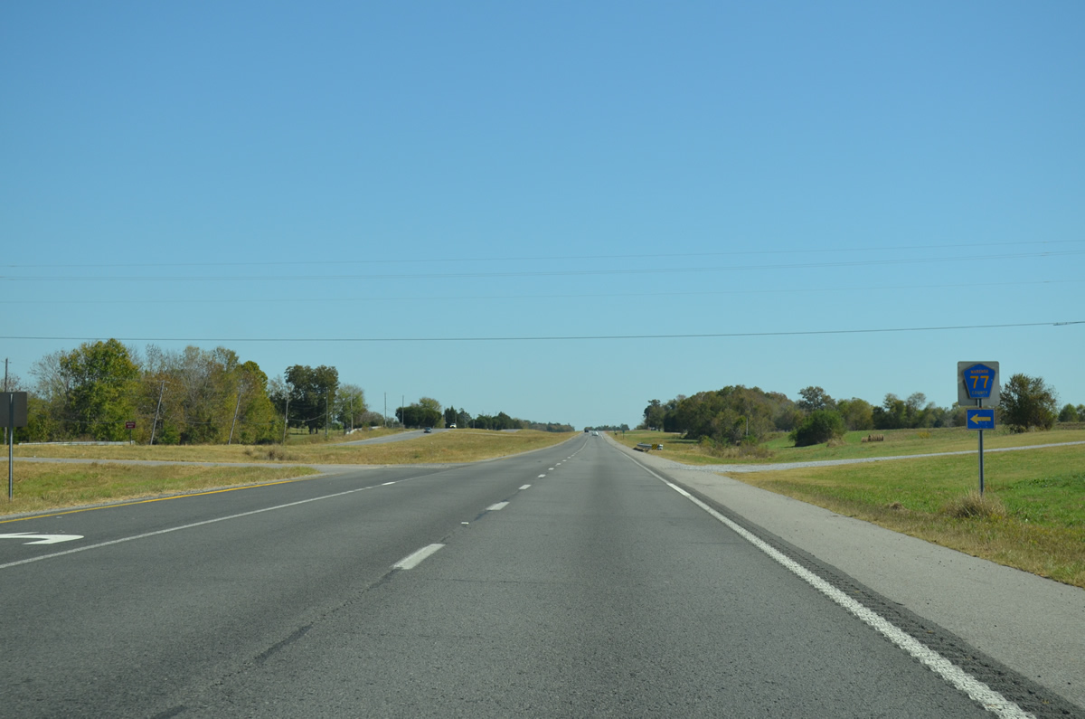
Marengo County Route 77 spurs north from U.S. 80 to Hale County Route 2, west of Oak Grove.
10/21/12
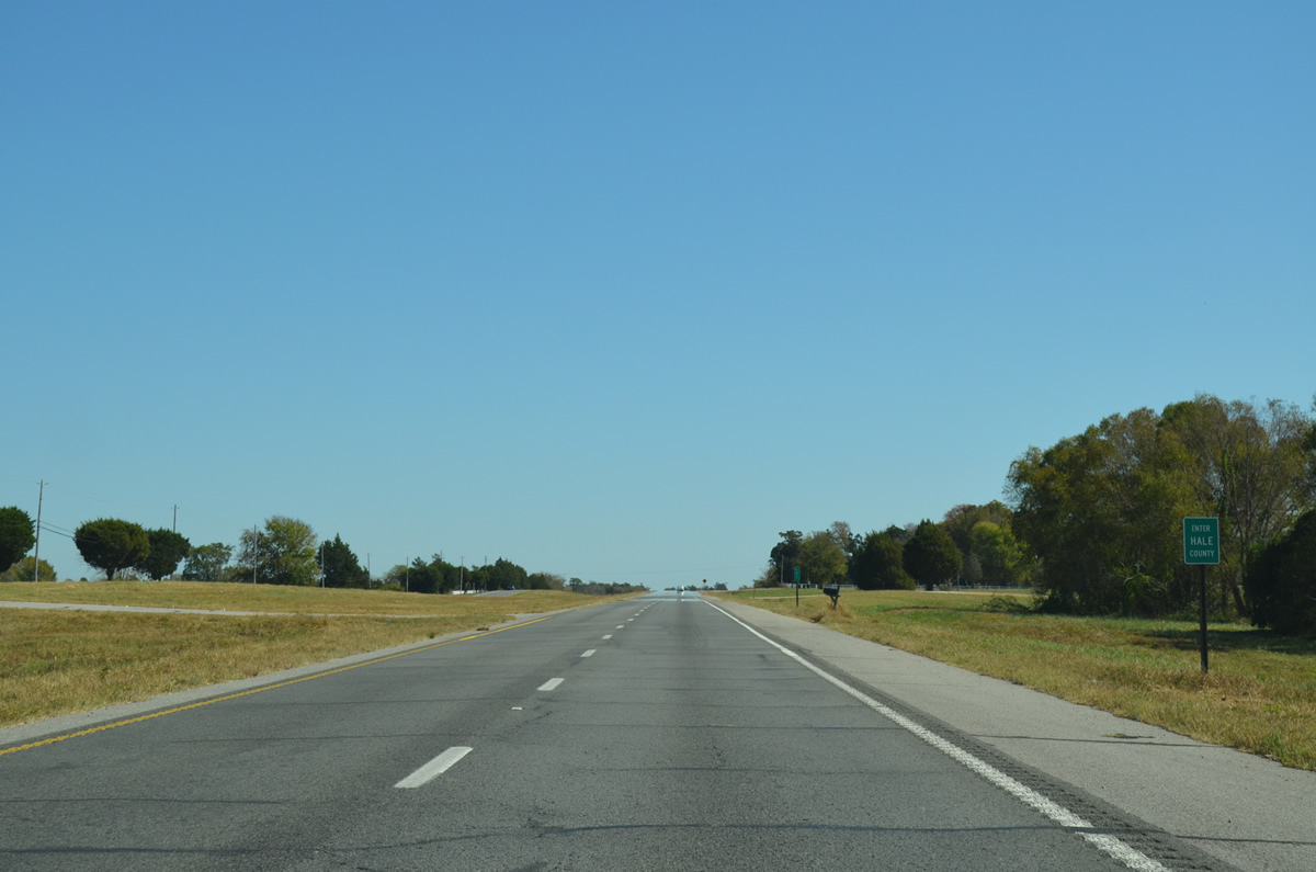
U.S. 80 enters a portion of southern Hale County just east of CR 77. The highway reenters Marengo County in 4.70 miles.
10/21/12
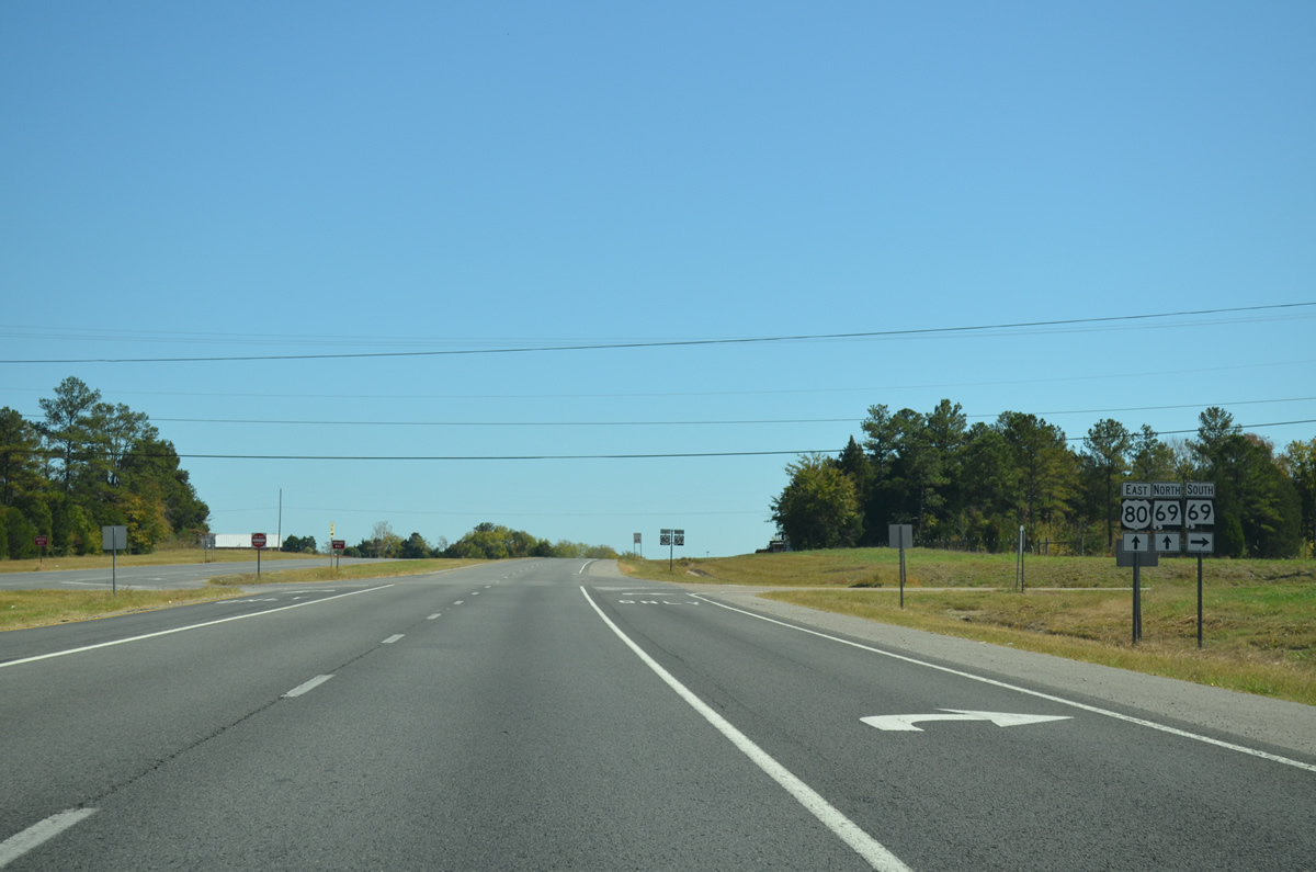
SR 69 heads 14 miles northeast from U.S. 43 at Providence to combine with U.S. 80 at Gallion. Hale County Route 12 ties in from the north along a stretch of old U.S. 80 through Prairieville.
10/21/12
East  North
North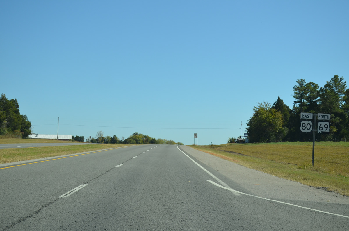
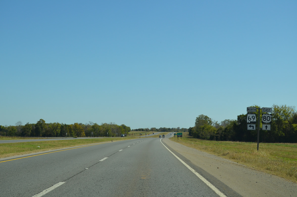
U.S. 80 and SR 69 combine for 0.74 miles east to Prairieville.
10/21/12
SR 69 resumes a northward course seven miles to Cedarville and 15 miles to the Hale County seat of Greensboro.
10/21/12
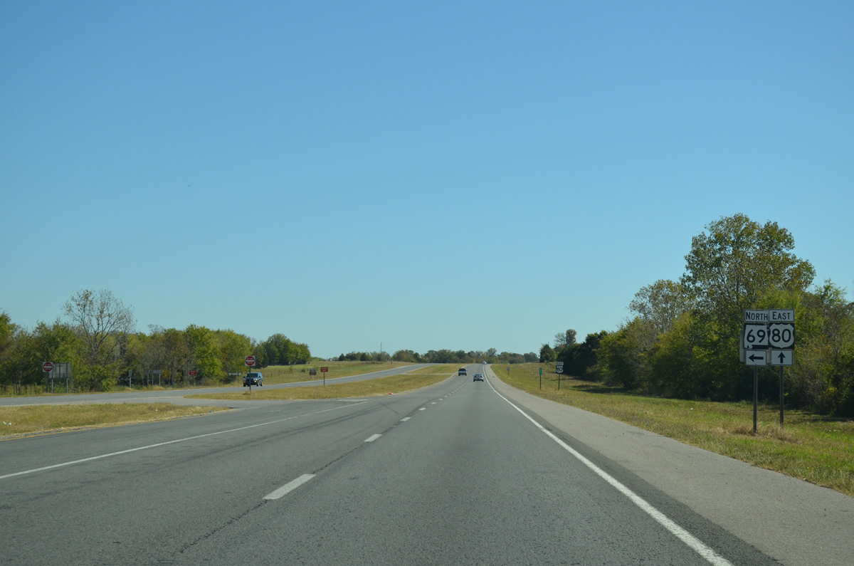
SR 69 north provides the main route to Tuscaloosa. The state route travels 280.60 miles overall between Jackson in Clarke County and Guntersville in Marshall County.
10/21/12
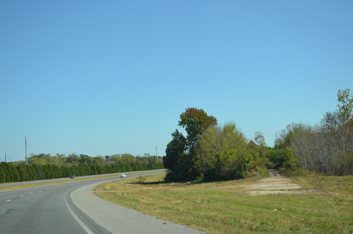
East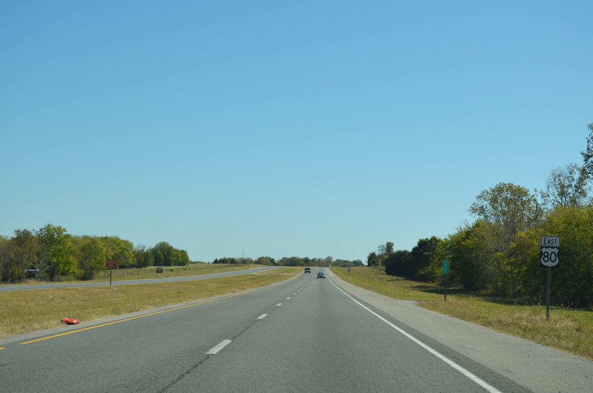
U.S. 80 arcs southeast from Prairieville to Allenville,
10/21/12
U.S. 80 passes through the northeastern corner of Marengo County for 7.40 miles.
10/21/12

U.S. 80 separates from an older alignment and bypasses the town of Faunsdale ahead of SR 25.
10/21/12
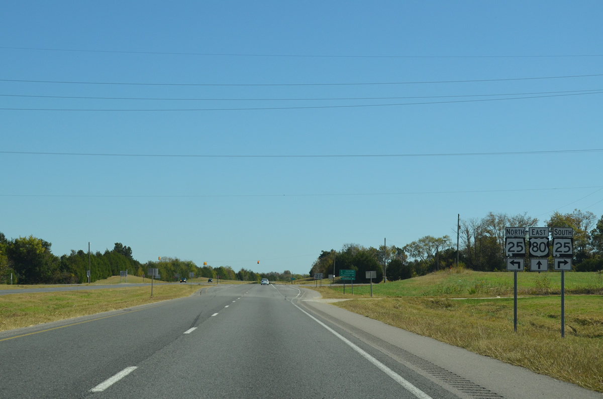
SR 25 runs 3.8 miles north to Laneville and 15.83 miles to an overlap with SR 69 through Greensboro. Southward the state route continues from Faunsdale 8.6 miles to Dayton and 14.91 miles to SR 28 in Thomaston.
10/21/12
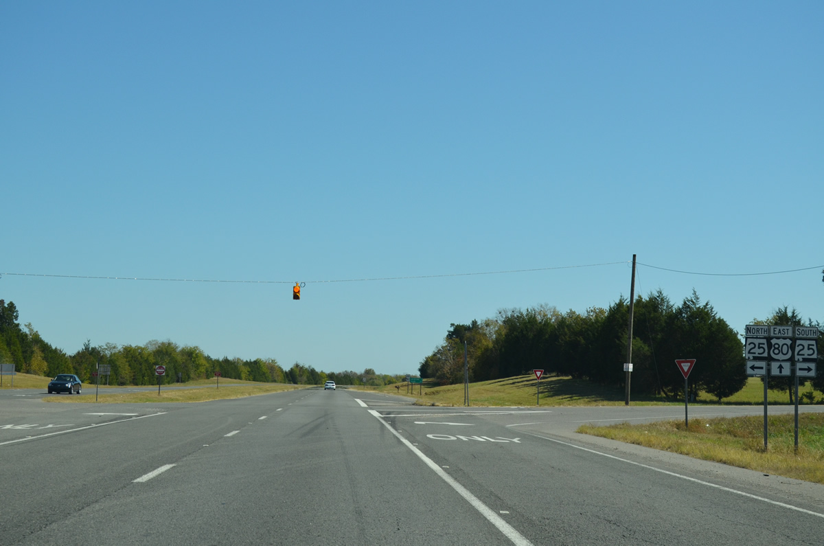
SR 25 comprises a 257.35 mile long highway from Sunny South in Wilcox County to the Georgia State line in Cherokee County. The state route is the hidden counterpart for all of U.S. 411 northward from Leeds.
10/21/12
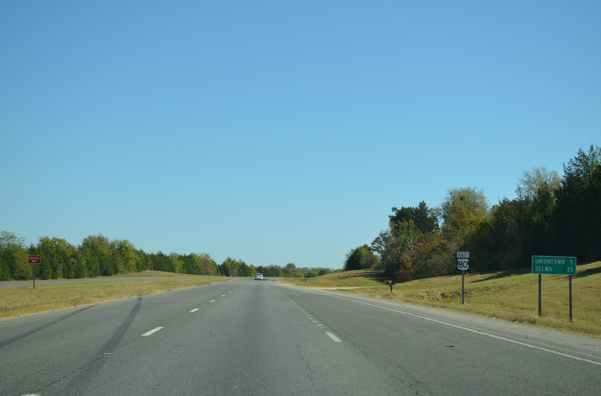
U.S. 80 progresses five miles from Faunsdale in northeastern Marengo County into the city of Uniontown at Perry County.
10/21/12
The four lane stretch of U.S. 80 east from Sumter County ends ahead of Cottonwood Creek beyond Faunsdale.
10/21/12
Traffic reduces to two overall lanes at Cottonwood Creek. A stub is in place for an eventual eastward expansion of U.S. 80.
10/21/12
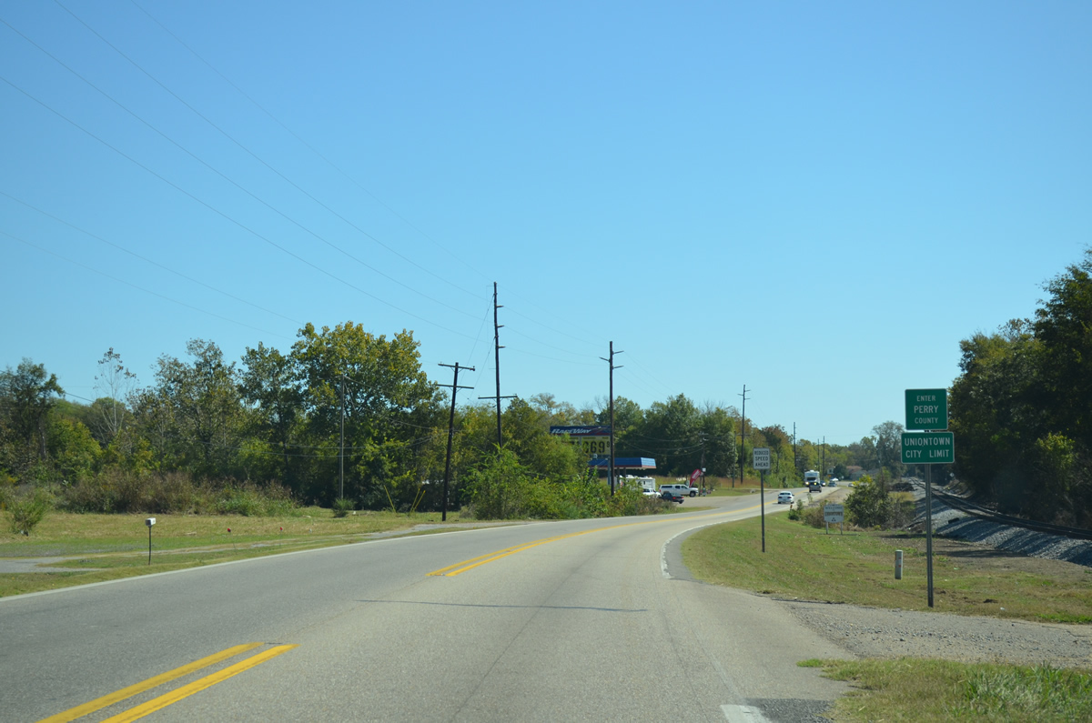
Again alongside a Norfolk Southern Railroad line, U.S. 80 enters both Perry County and the city limits of Uniontown.
10/21/12
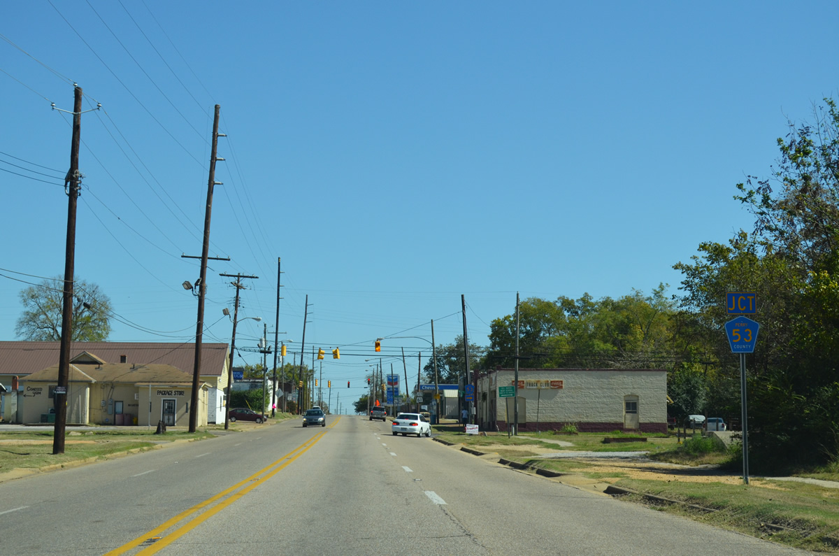
U.S. 80 shifts southward onto Washington Street and expands to four lanes through the Uniontown city center. Perry County Route 53 ties into U.S. 80 from West Avenue to the south.
10/21/12
CR 53 leads south from West Avenue in Uniontown to Marengo County en route to Camp Ground and Thomaston. West Avenue continues north two blocks to Franklin Street.
10/21/12
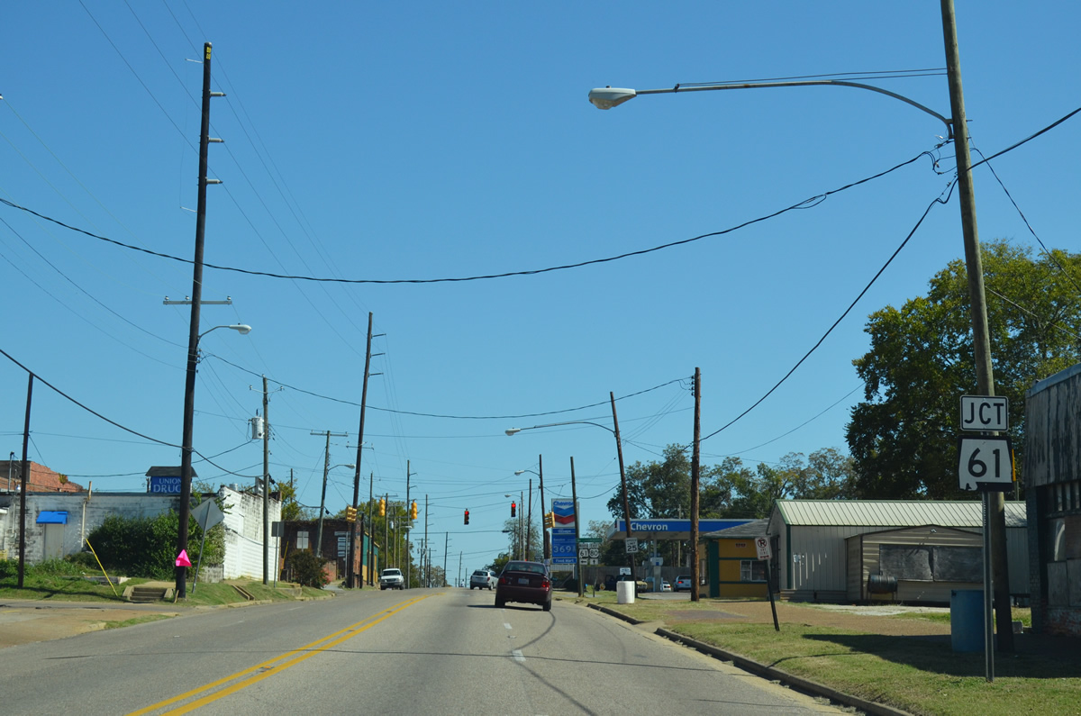
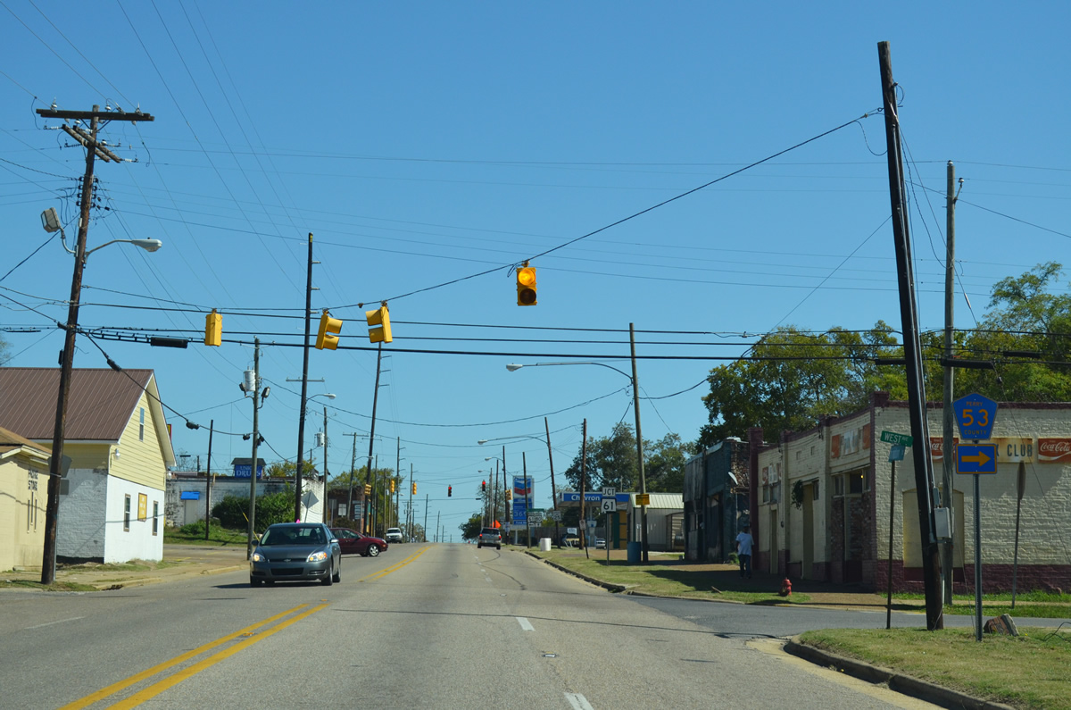
SR 61 follows Water Avenue north from U.S. 80 (Washington Street) in Uniontown.
10/21/12

SR 61 travels just 18.31 miles between Uniontown and SR 14 outside Greensboro.
10/21/12
Eastbound reassurance marker for U.S. 80 posted between SR 61 (Water Avenue) and Broadway Street in Uniontown.
10/21/12
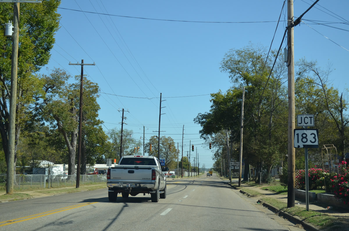
The south end of SR 183 is two blocks east of SR 61 (Water Avenue) along U.S. 80 at East Avenue.
10/21/12
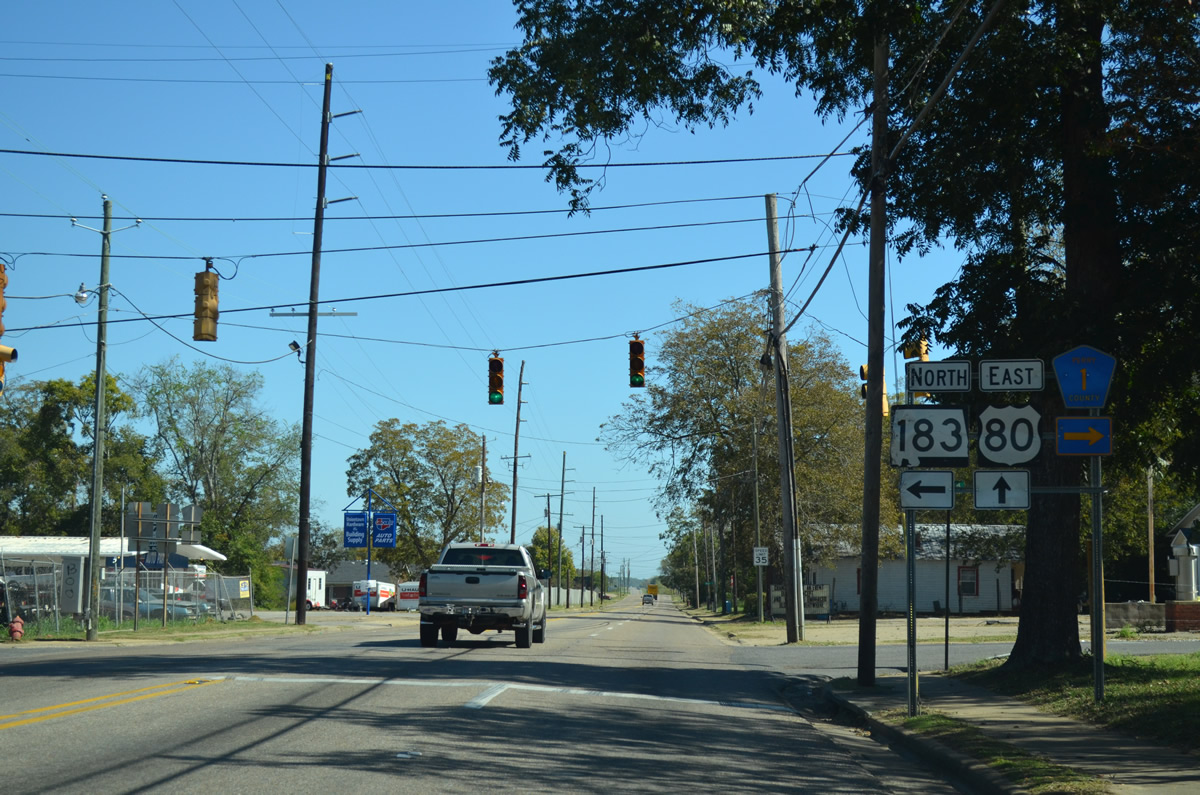
SR 183 (East Avenue) meets U.S. 80 (Washington Street) opposite CR 1 north in Uniontown. SR 183 arcs northeast 16.04 miles to SR 5 outside Marion, the county seat and 47.44 miles overall to U.S. 82 in Chilton County. CR 1 runs southward from the city to Central Mills in Dallas County.
10/21/12
Beyond Village Avenue, U.S. 80 expands to three lanes with a passing lane on the westbound side. The highway quickly becomes rural as it leaves Uniontown.
10/21/12
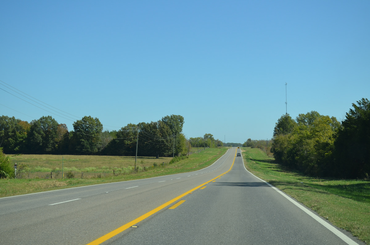
U.S. 80 resumes as a four lane highway with a grassy median east from Uniontown toward the settlement of Tayloe in southern Perry County.
10/21/12
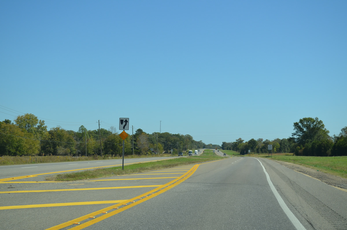
U.S. 80 curves eastward from Tayloe Road in this scene. A number of catfish farms line the four lane corridor through both Perry and Dallas Counties.
10/21/12
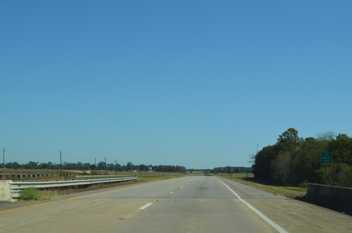
The 6.12 mile long section of U.S. 80 through Perry County concludes as the highway enters Dallas County at Coffee Creek.
10/21/12
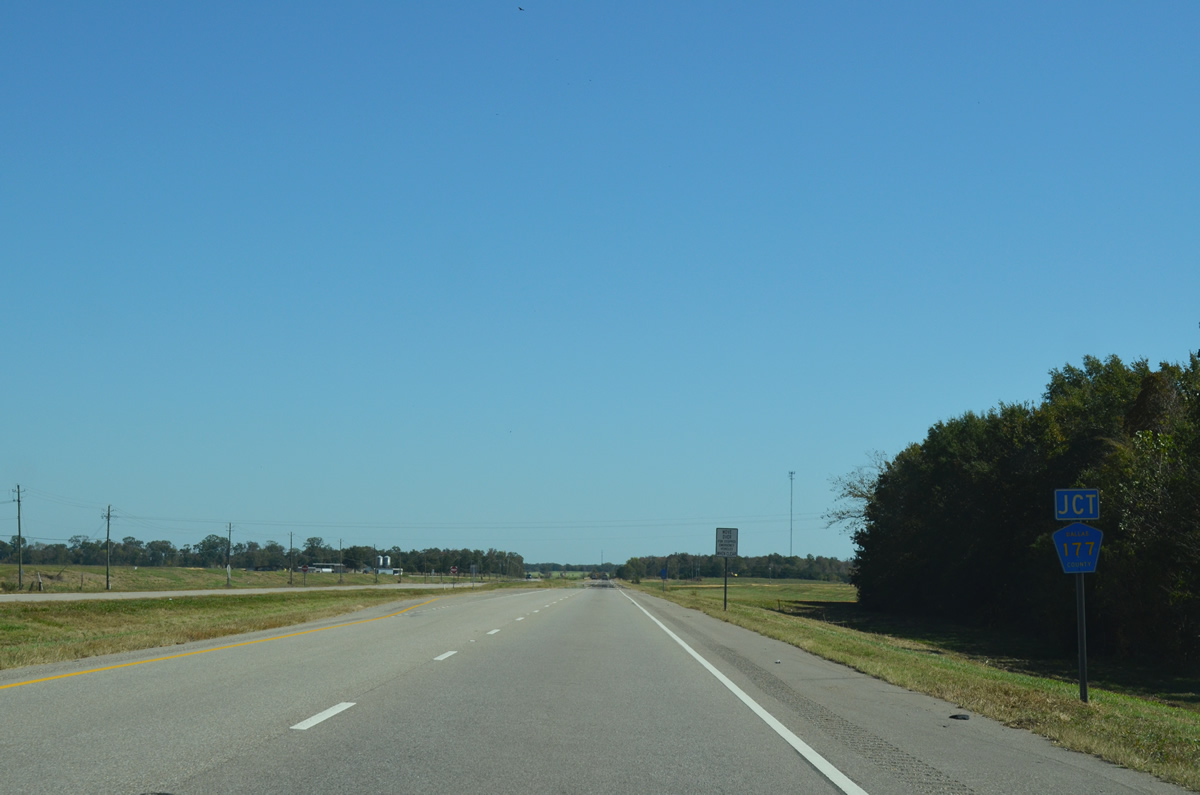
CR 177 spurs north from U.S. 80 just east of the Perry County line.
10/21/12
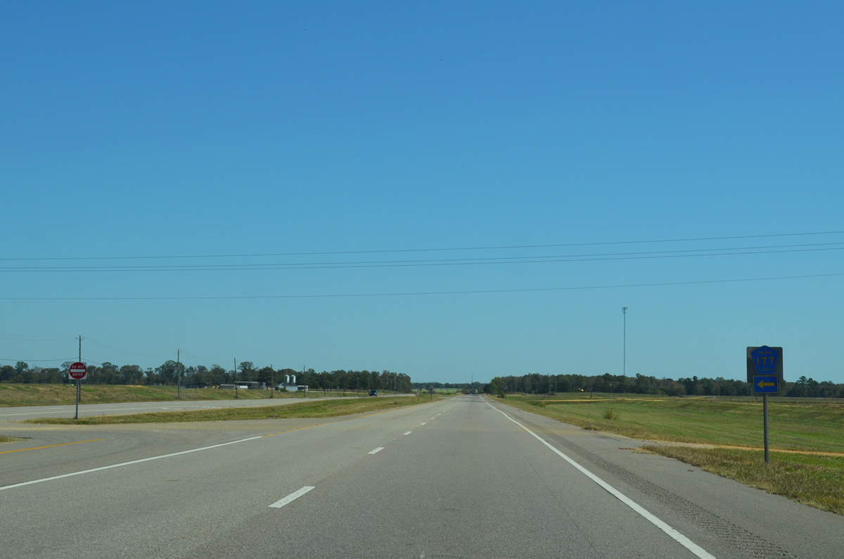
CR 177 angles northward into Perry County en route to CR 12 east of Uniontown.
10/21/12
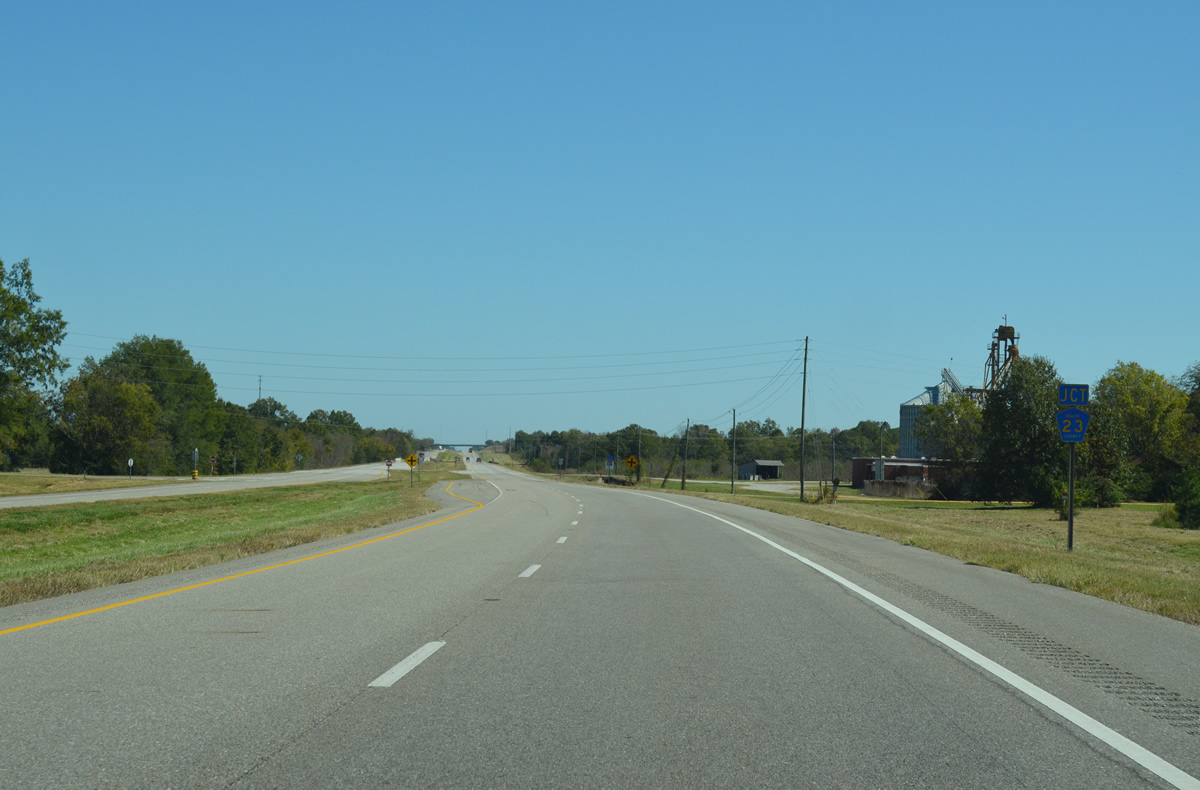
U.S. 80 next meets Dallas County Route 23 at the settlement of Bellevue.
10/21/12
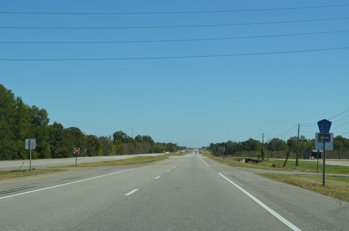
CR 23 connects U.S. 80 with Perry County Route 12 along a 4.2 mile long course.
10/21/12

The first reassurance shield for U.S. 80 posted in Dallas County follows the intersection of County Road 23.
10/21/12
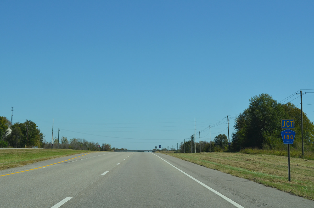
U.S. 80 meets Dallas County Route 180 at Browns.
10/21/12
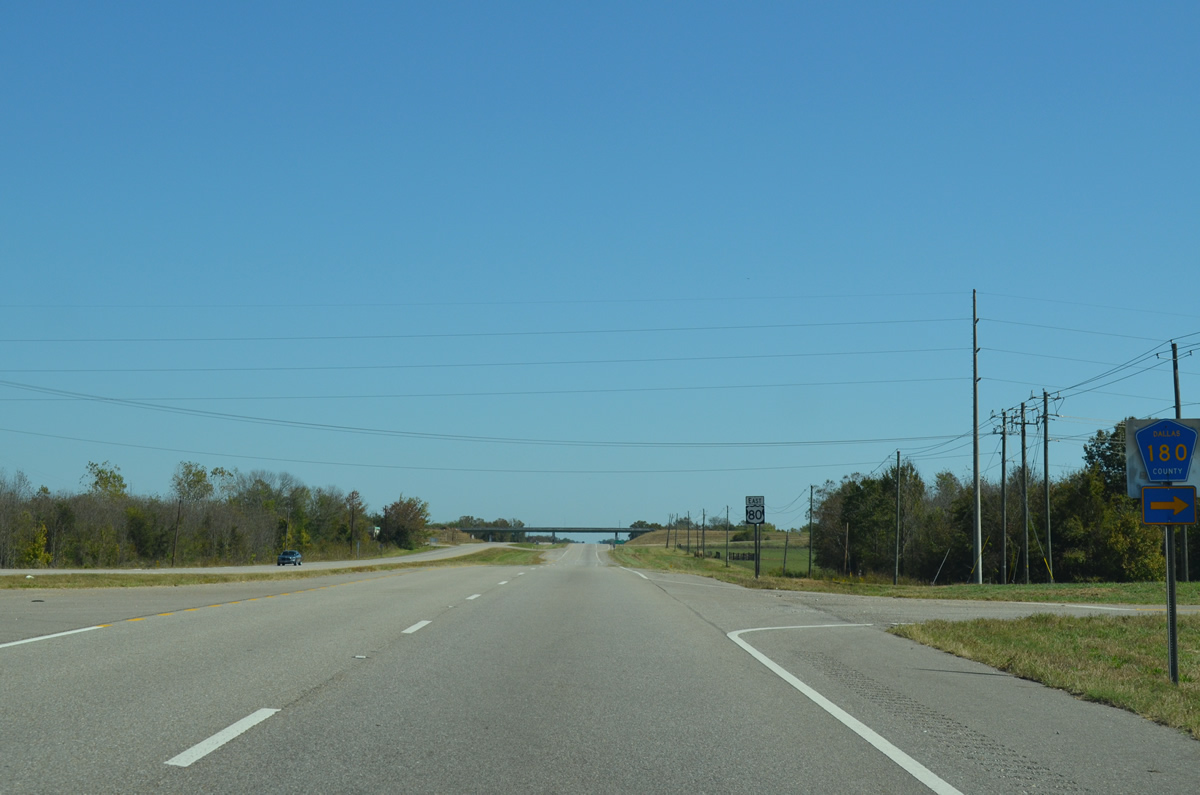
CR 180 comprises a dirt road southeast from U.S. 80 by a castfish farm to SR 5 and into timberland ahead of Bogue Chitto Creek.
10/21/12
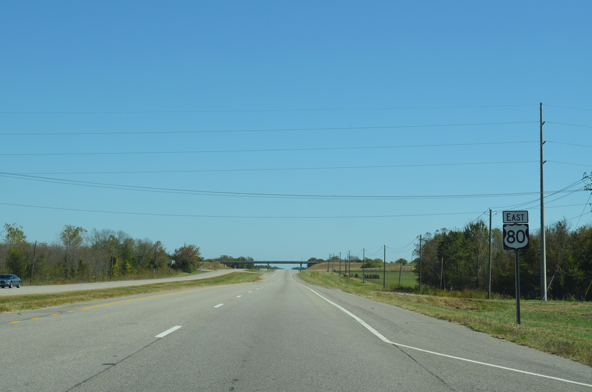
Leaving Browns, U.S. 80 advances east to the diamond interchange with SR 5.
10/21/12
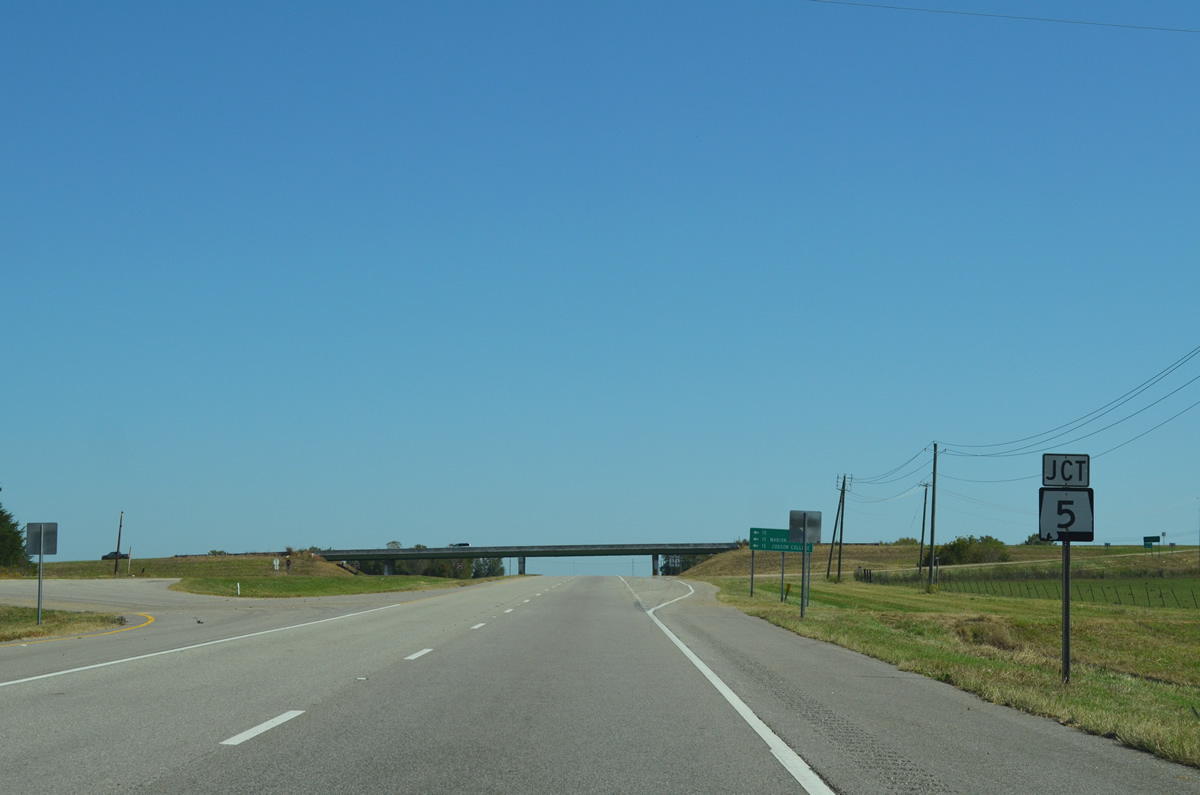
A 197.78 mile long highway, SR 5 travels north from U.S. 43 near Thomasville to Birmingham, Jasper and U.S. 278 at Natural Bridge.
10/21/12
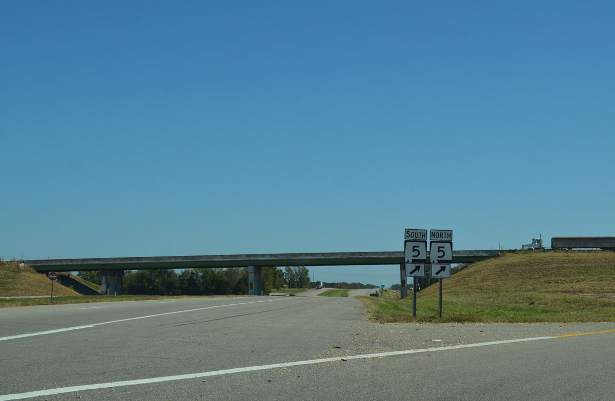
SR 5 heads 13.4 miles north into Marion and 10.8 miles south to SR 22 at Safford.
10/21/12

SR 5 to U.S. 43 provides an alternate route to Interstate 65 between Birmingham and the Port City of Mobile.
10/21/12
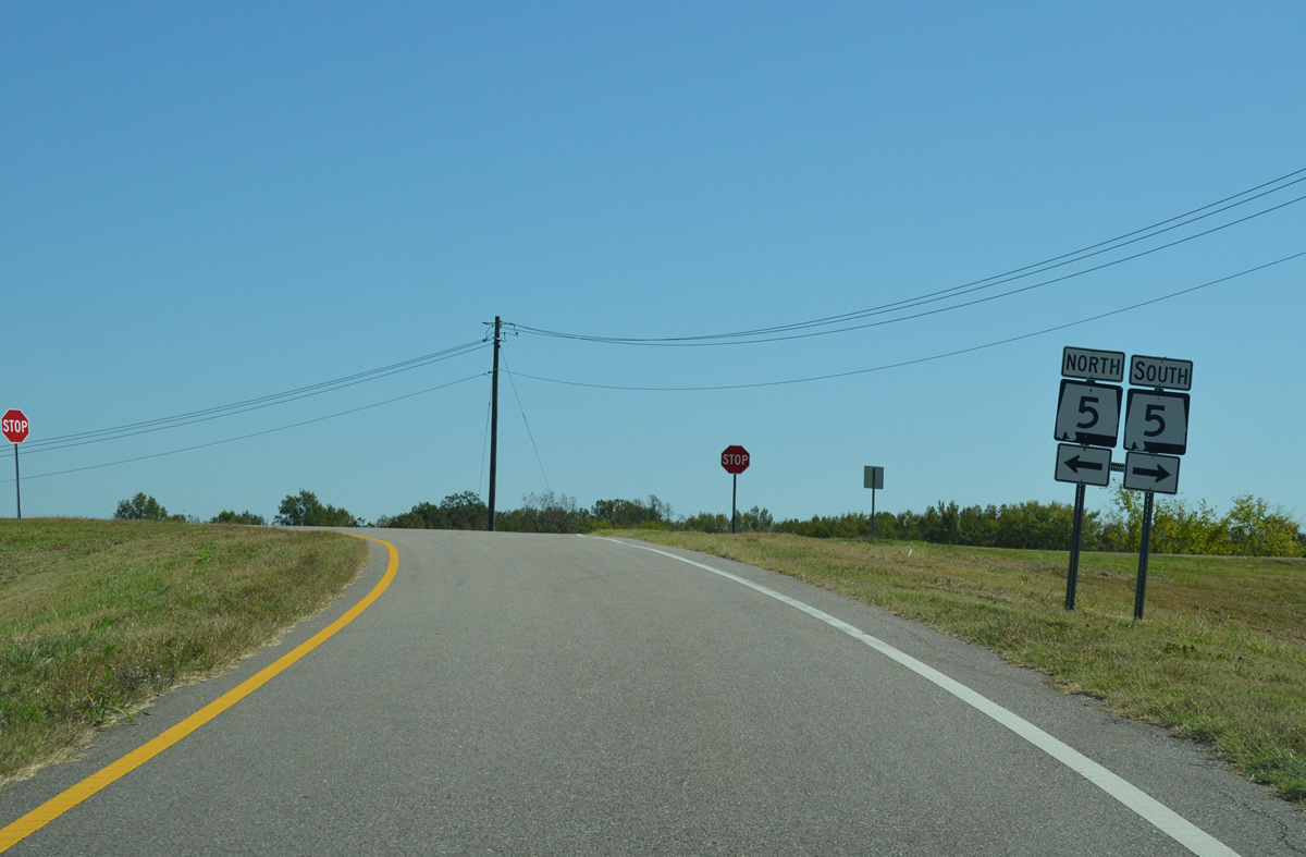
SR 5 constitutes a rural highway south to U.S. 43 in Clarke County and north to Marion, Brent and U.S. 11 at Woodstock. Traffic counts reflect this with just 1,050 to 1,060 vehicles per day recorded in 2010 through northern Dallas County.
10/21/12
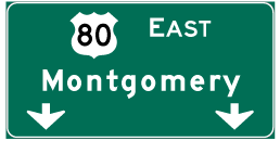
Photo Credits:
- ABRoads: 10/21/12
Connect with:
Page Updated Thursday October 25, 2012.