
U.S. 84 East - Monticello to Prentiss
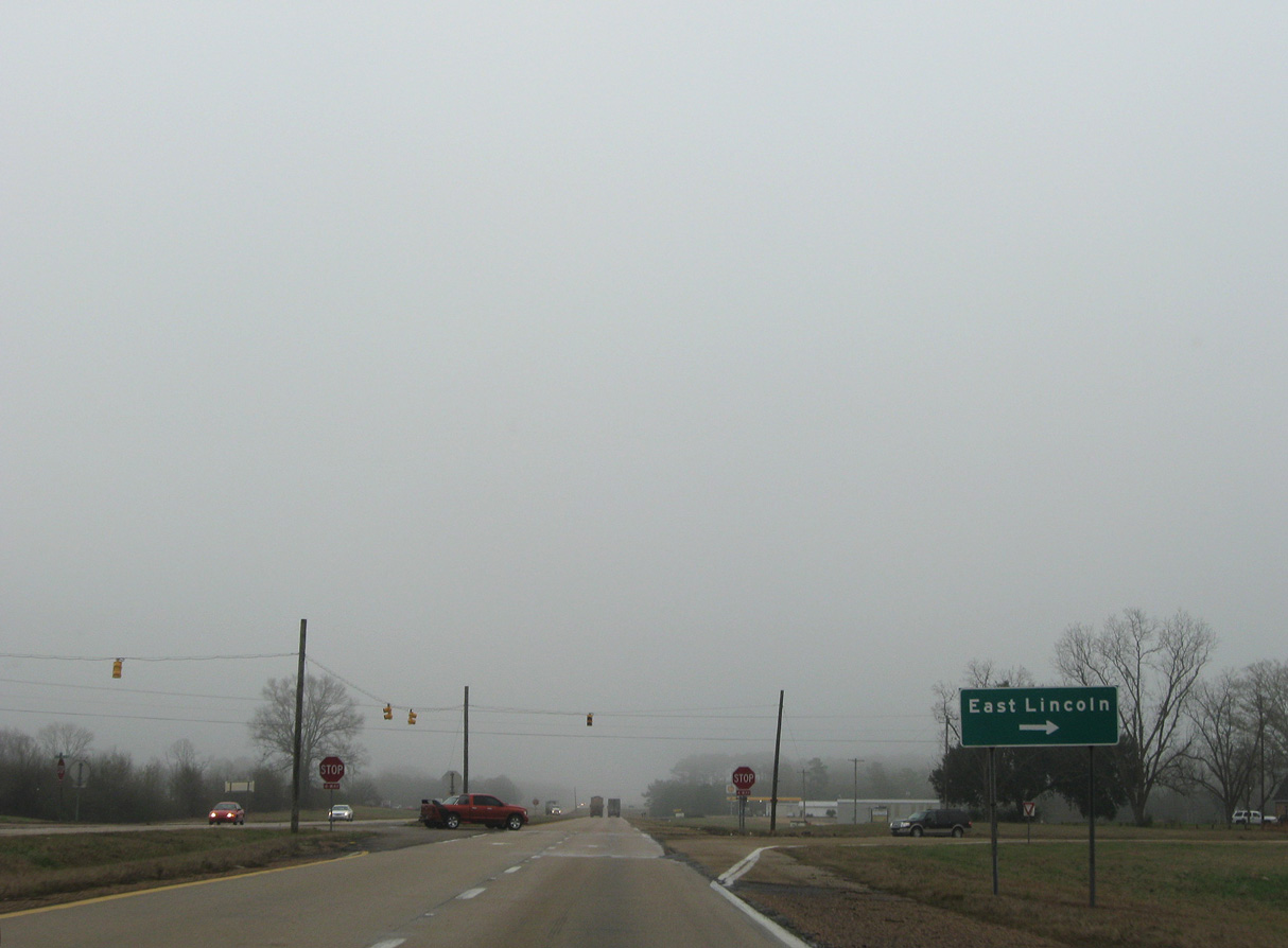
East Lincoln Drive branches south from MS 184 (Monticello Street) to meet U.S. 84 at a stop sign intersection. The unincorporated community of East Lincoln lies 7.7 miles to the southeast.
01/05/09
MS 184 (Monticello Street) returns to U.S. 84, 2.6 miles southeast from the Brookhaven city line.
06/12/04
MS 184 leads 5.09 miles west back to MS 558 (Brookway Boulevard) beyond Downtown Brookhaven.
01/05/09
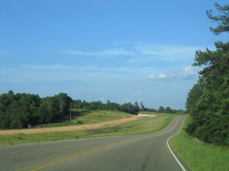
U.S. 84 continues east between Clarks Lake and Kees Creek.
01/05/09
Harmony Drive meanders southeast from U.S. 84 at Fair Oak Springs to the rural community of Harmony.
01/05/09
U.S. 84 east ahead of Fair River.
01/05/09
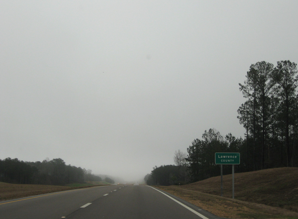
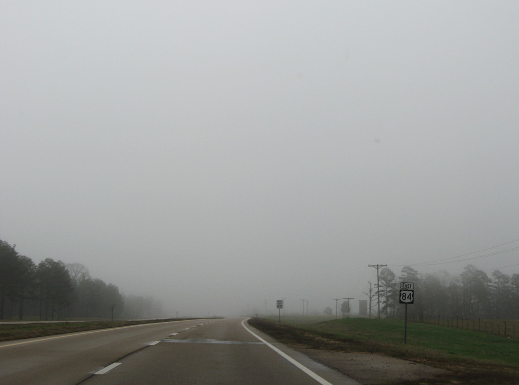
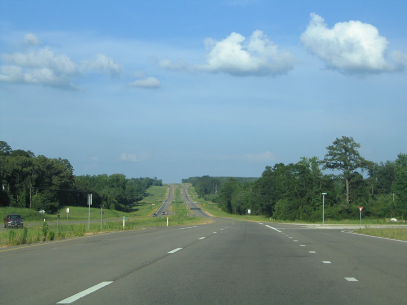
U.S. 84 narrowed to two lanes east at the Lawrence County line in 2004. Widening of U.S. 84 statewide was part of the 1987 Four-lane Program and Vision 21.
01/05/09
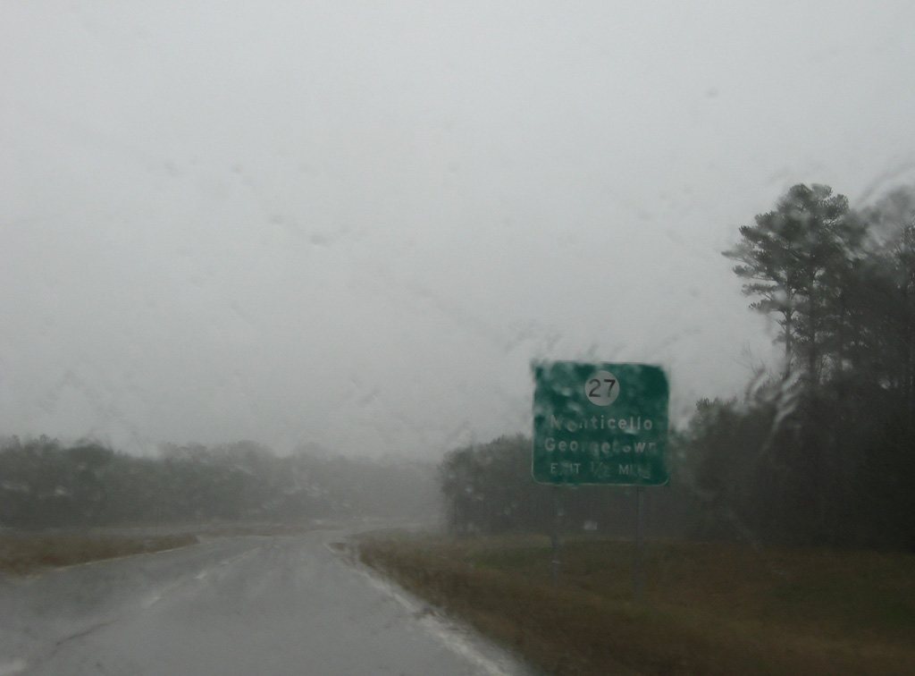
Shifting northward from MS 184, U.S. 84 bypasses the town of Monticello. The first of two exits along the controlled access expressway is the diamond interchange with MS 27.
01/05/09
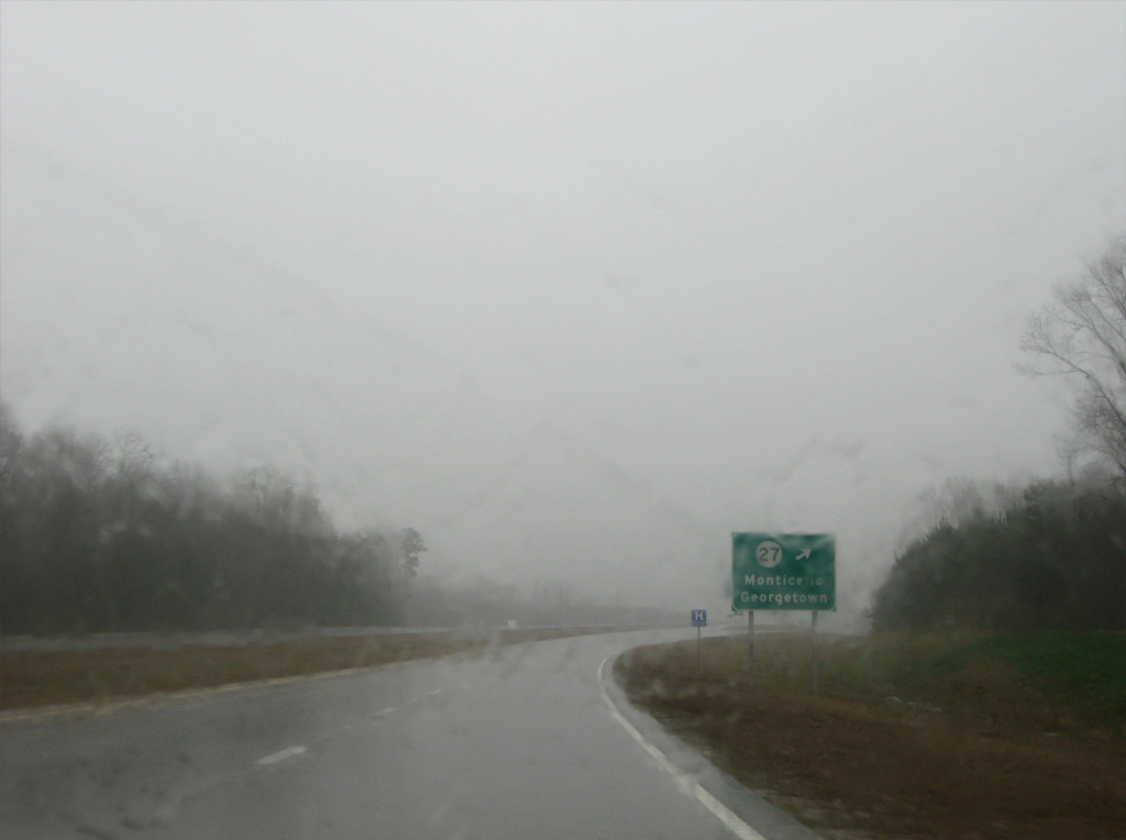
MS 27 runs along the west side of Monticello northward to the Copiah County town of Georgetown and south to Tylertown.
01/05/09
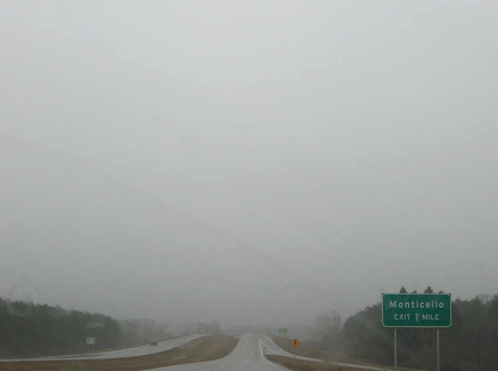
MS 27 was realigned westward from the Monticello town center and a short overlap with then-U.S. 84 along Broad Street (MS 184) in the early 2000s.
01/05/09
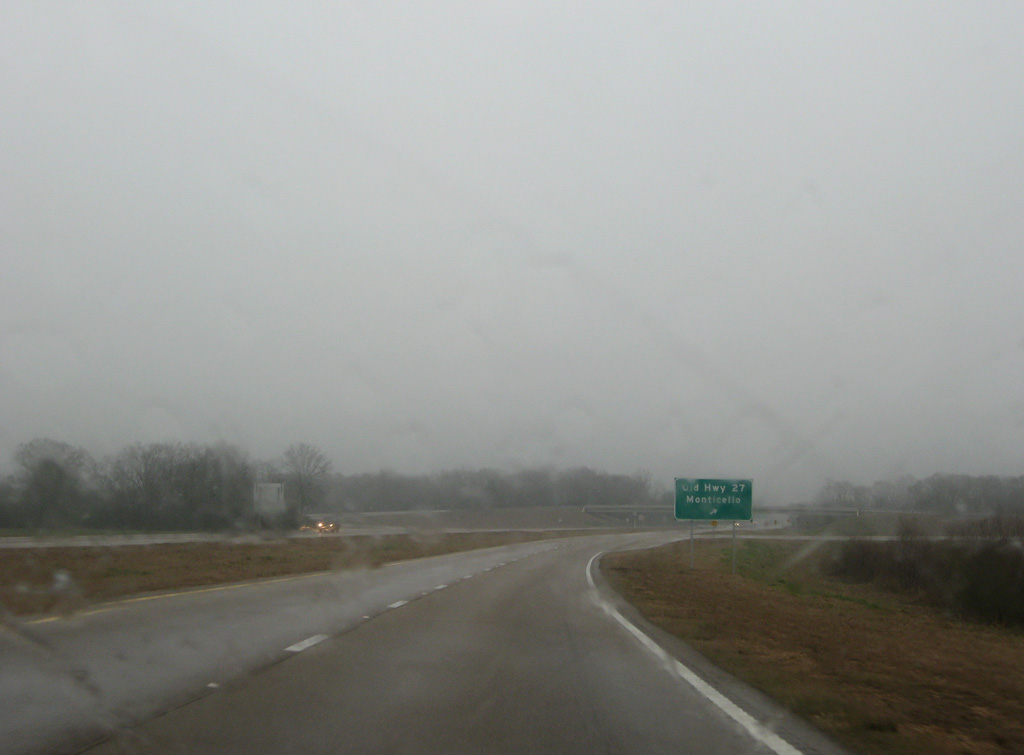
A folded diamond interchange joins U.S. 84 with Old Highway 27 east of the CN Railroad underpass.
01/05/09
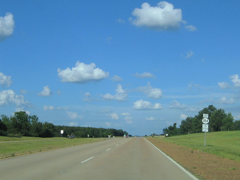
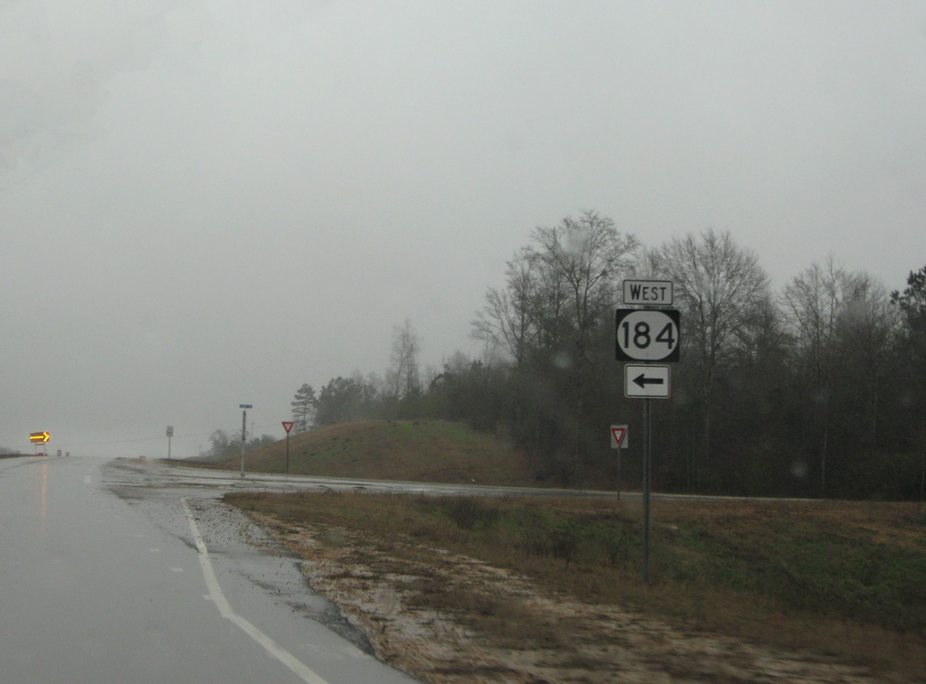
MS 184 to the town of Silver Creek loops 2.95 miles north from U.S. 84 onto Southern Avenue.
01/05/09
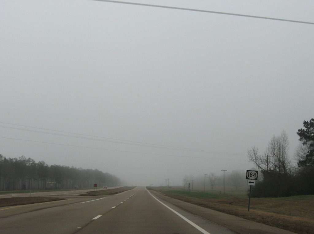
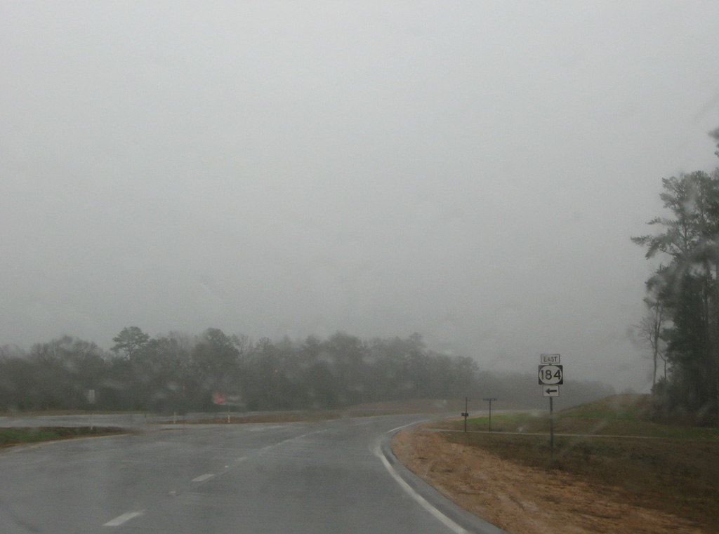
U.S. 84 converges with the east end of MS 184 from Silver Creek at Rabbit Road.
01/05/09
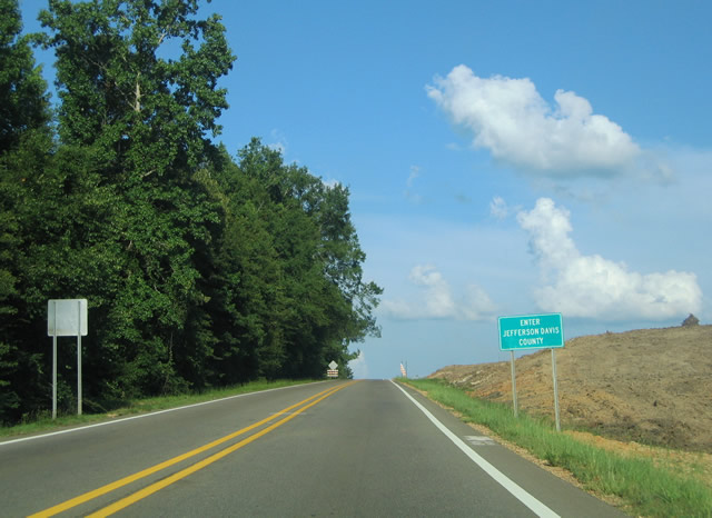
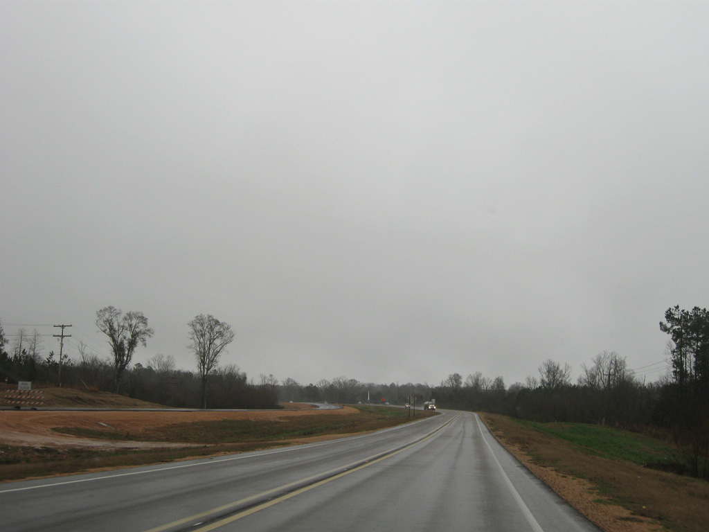
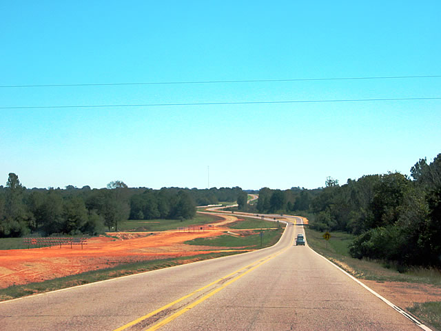
U.S. 84 east at the Jefferson Davis County line prior to construction four laning the highway east to Prentiss.
06/12/04
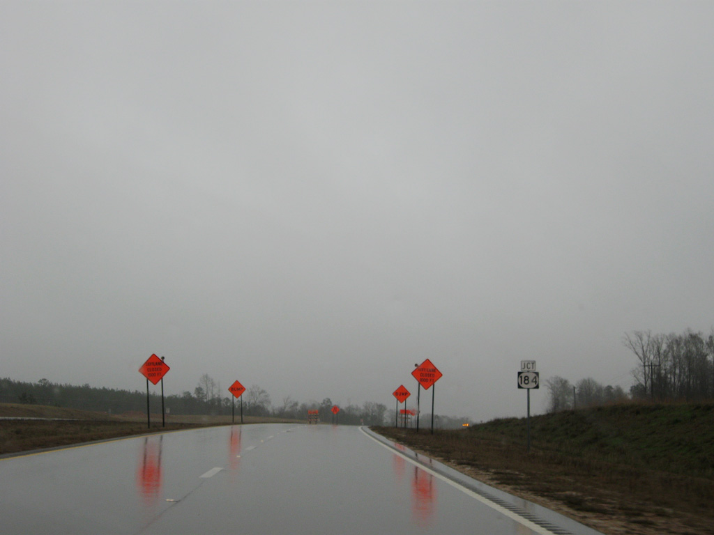
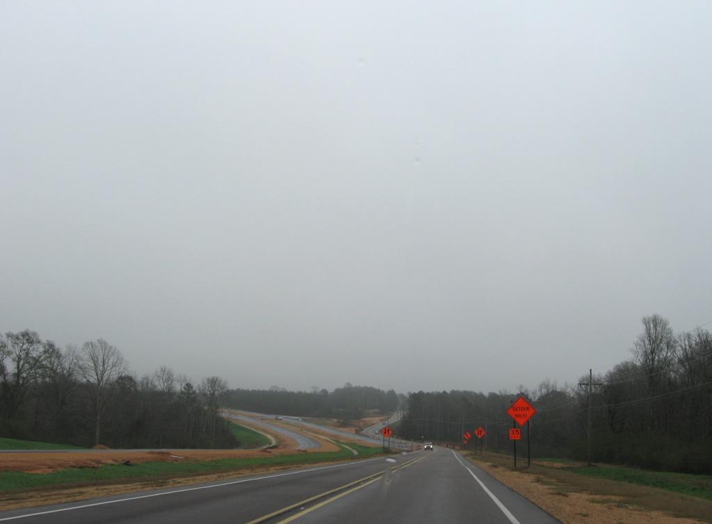
U.S. 84 east ahead of Lucas during construction widening the highway to four lanes.
01/05/09
U.S. 84 circumvents the Jefferson Davis County seat of Prentiss to the north along a controlled access expressway. The former alignment, including an at-grade bypass of the town, is MS 184.
01/05/09
The Prentiss bypass along U.S. 84 opened to traffic by May 2009. The expressway includes a diamond interchange with MS 13 north of the original separation with U.S. 84 at Columbia Avenue.
01/05/09
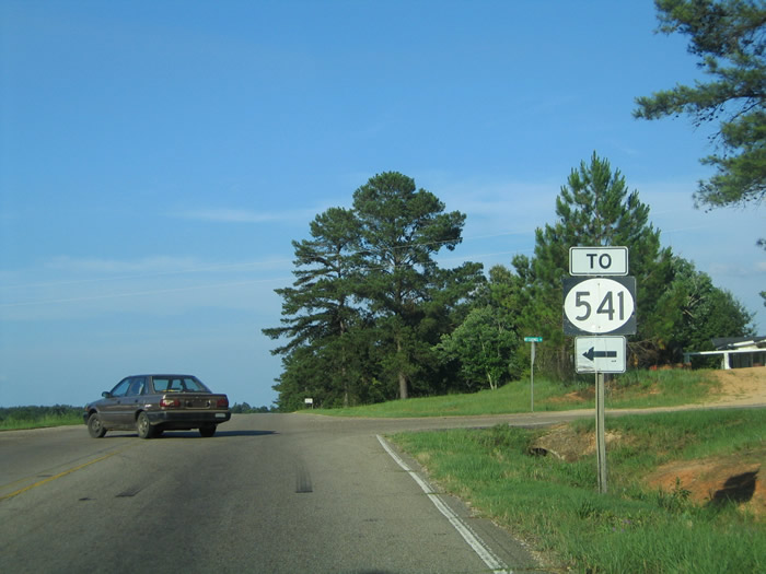
Clem Road south and Mount Carmel Road north come together at the settlement of Mount Carmel along U.S. 84. Clem Road leads 6.19 miles north to become MS 541. MS 541 travels 11.02 miles to MS 28 west of Magee.
06/12/04
U.S. 84 eastbound during four laning at Polk-Atwood Road.
06/12/04
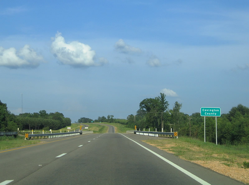
U.S. 84 previously expanded to four lanes east from Ponderosa Road across the Covington County line and Bowie Creek.
10/23/03
U.S. 84 enters Covington County east just ahead of Bowie Creek.
06/12/04
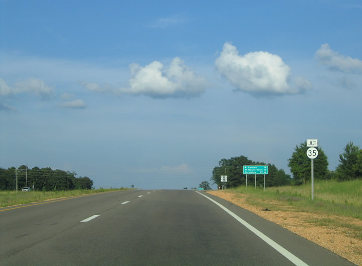
0.87 miles east into Covington County, U.S. 84 meets MS 35. Extending north from Louisiana Highway 21, MS 35 travels 47.7 miles past Columbia to U.S. 84.
06/12/04
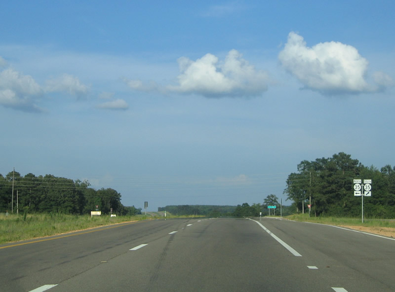
MS 35 continues 9.8 miles northeast from U.S. 84 to U.S. 49 at the town of Mount Olive. The U.S. 84/MS 35 junction was converted to an R-CUT (Restricted Crossing U-Turn) intersection by 2018.
06/12/04
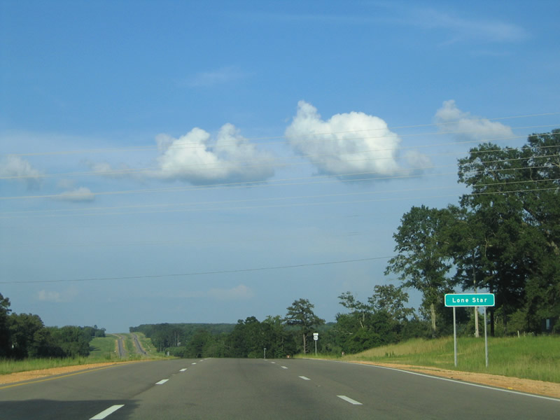
The cross roads of U.S. 84 and Mississippi Highway 35 is also known as Lone Star.
06/12/04
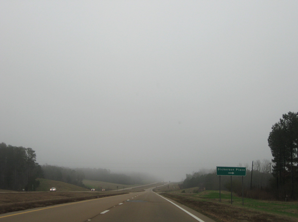
Lone Star Road stems south from U.S. 84 to become Terrell Road in Jefferson Davis County.
06/12/04
Photo Credits:
- ABRoads: 01/05/09
- Alex Nitzman: 10/23/03, 06/12/04
Connect with:
Page Updated Thursday October 09, 2025.