
U.S. 84
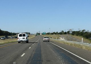
Traversing 663 miles across the state, U.S. 84 angles southeast from Clovis, New Mexico to join Lubbock with Abilene, and several county seats east to Waco, Palestine and the Louisiana state line at Joaquin. All of U.S. 84 from New Mexico to IH 20 at Roscoe is a four-lane, divided highway.
U.S. 84 Texas Guides
East - Waco - 9 photos
West - Waco to McGregor - 27 photos
Through the Waco vicinity, U.S. 84 upgrades to a freeway east from Twin Rivers Boulevard and Cloice Creek to the split with Spur 298 (Franklin Avenue). Within the city of Waco, U.S. 84 shifts onto Waco Drive, a commercial arterial north to SL 396 (Valley Mills Drive), and a four-lane divided boulevard through neighborhood areas northwest of the central business district.

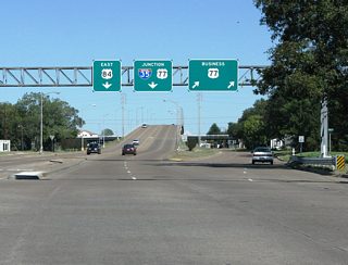
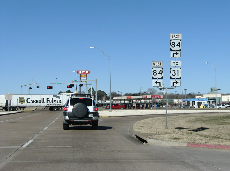
Crossing the Brazos River, the US highway continues through the north Waco street grid to FM 933 (Clifton Street). Waco Drive elevates from there over U.S. 77 Business leading into the diamond interchange with IH 35 on the Bellmead city line. Through Bellmead, U.S. 84 transitions onto a five-lane commercial arterial to a grade separation with SL 340. Leading east, U.S. 84 widens into an expressway at Selby Lane to the split with SH 31.
A diamond interchange coupled with u-turn ramps join IH 35/U.S. 77 with U.S. 84 (Waco Drive) along the Waco and Bellmead city line. Corrected by 2011, a shield assembly along the north side frontage road erroneously referenced SH 31 as U.S. 31 for U.S. 84 leading east from Bellemead.
01/01/08
Photo Credits:
- Justin Cozart: 01/01/08
Connect with:
Page Updated Tuesday July 30, 2019.