
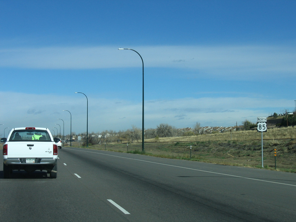
U.S. 85 North - Castle Rock to Denver

 North
North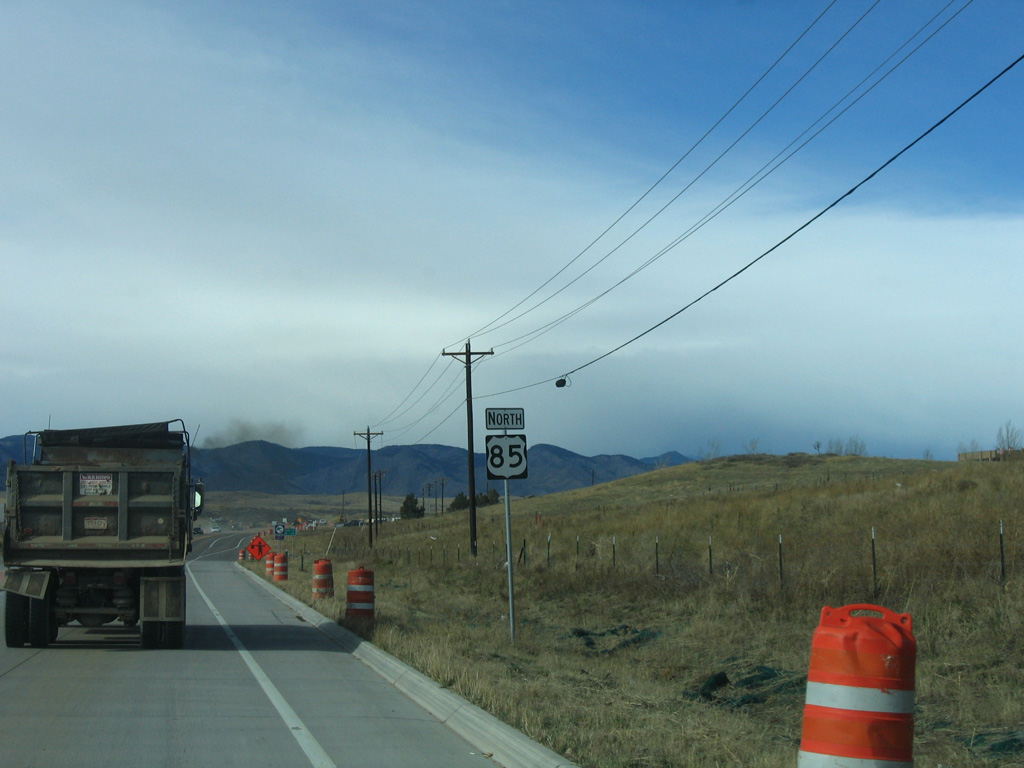
U.S. 85 north of the intersection with SH 67 (Manhart Avenue) in the unincorporated town of Sedalia.
11/14/05
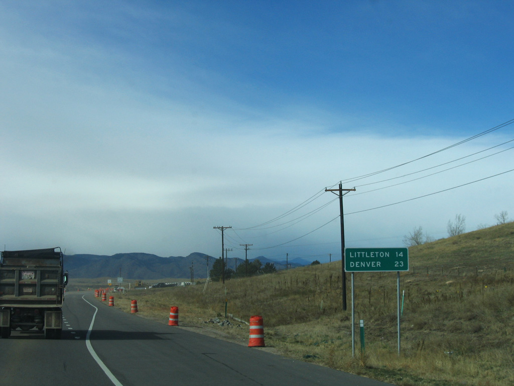
U.S. 85 continues 14 miles north from Sedalia to Littleton and 23 miles to Denver.
11/14/05
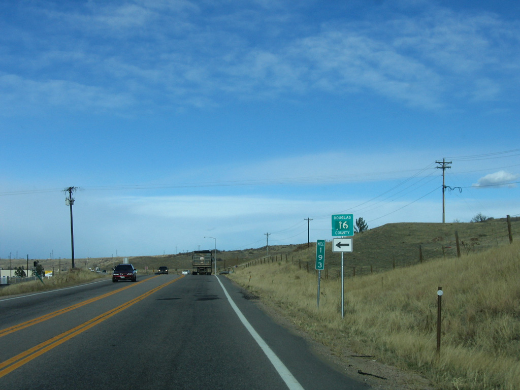
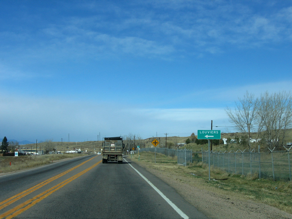
Airport Road (CR 16) stems west from U.S. 85 to the unincorporated town of Louviers. Adjacent U.S. 85 Business formerly concluded north from Peterson Road and Sedalia via Airport Road.
11/14/05
Louviers Avenue west connects U.S. 85 at Kellytown with N Main Street into Louviers.
11/14/05
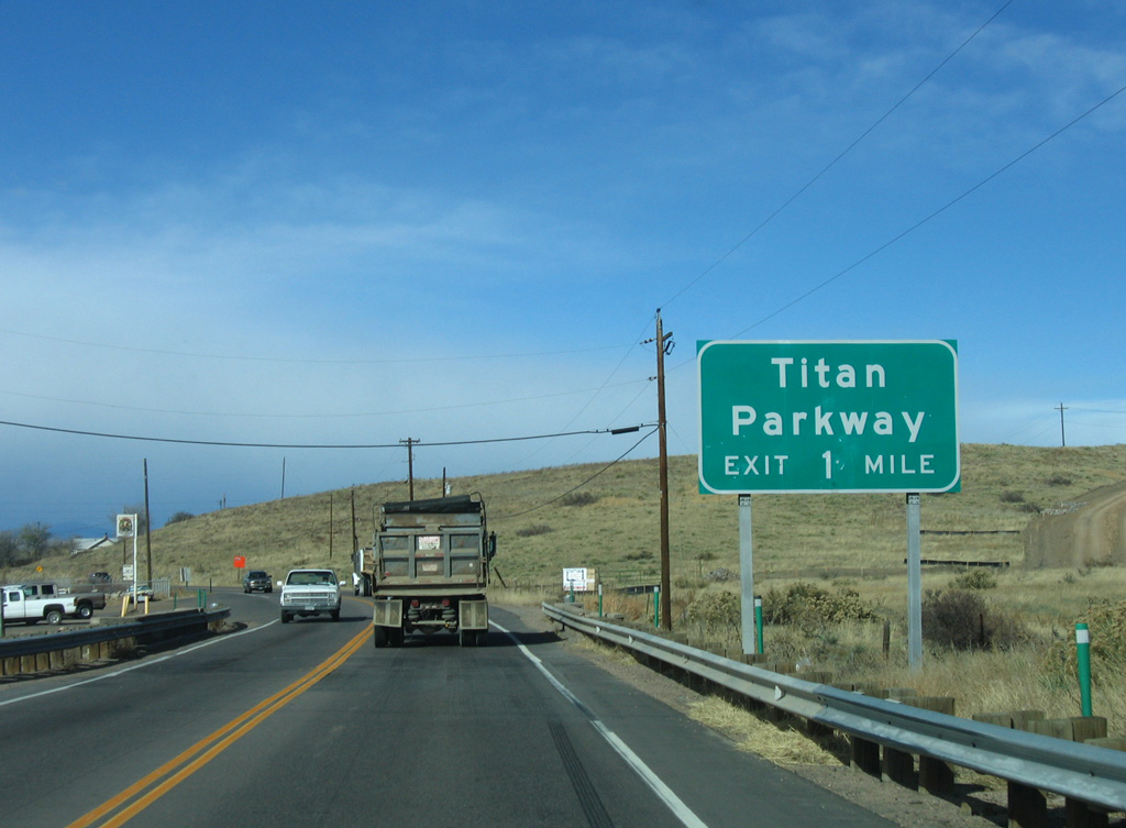
The expressway along U.S. 85 advances northwest to a diamond interchange with Titan Parkway. This exchange was built to serve commuter and truck traffic west to the Lockheed Martin plant located at the southern end of SH 121 (Wadsworth Boulevard).
11/14/05
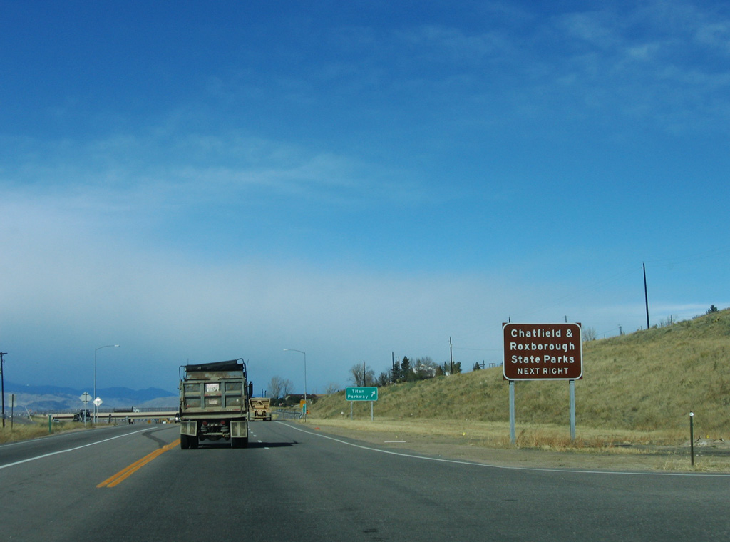
Chatfield State Park lies northwest from Titan Road. Located along Chatfield Reservoir, the park includes camping, hiking, biking, angling and hot air balloon launching. Located south off of N Rampart Range Road, Roxborough State Park features geological and red rock formations.
11/14/05
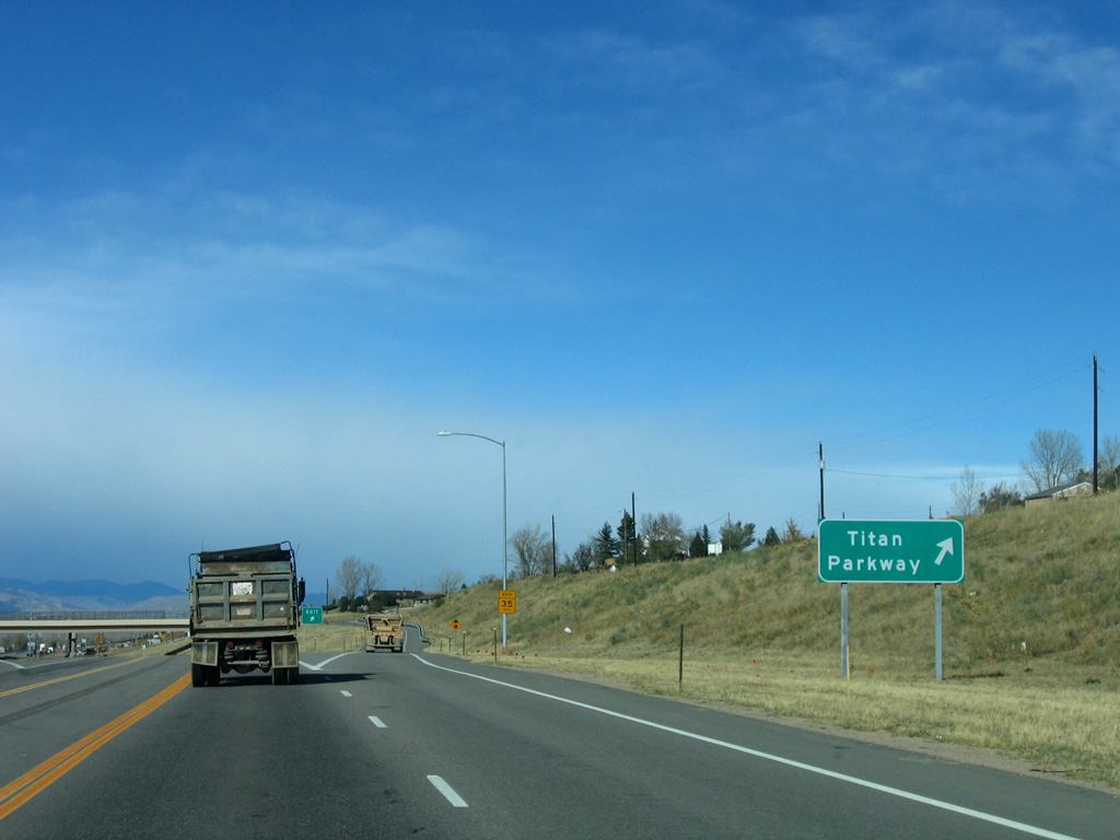
Titan Parkway ties into Wildfield Lane along the east side of the exchange with U.S. 85.
11/14/05
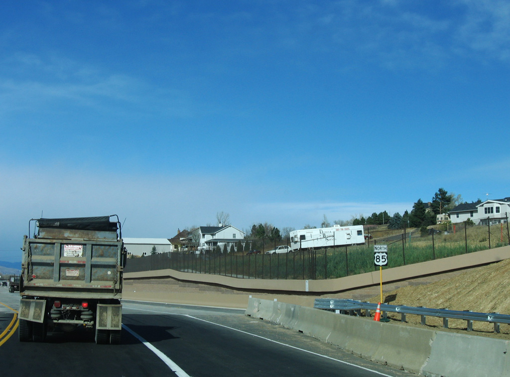
U.S. 85 parallels Plum Creek northwest along a controlled access expressway with only right in right out (RIRO) intersections.
11/14/05
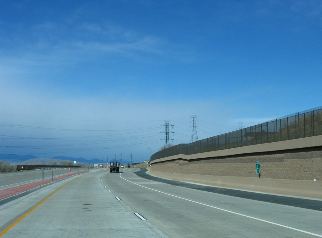
The expressway upgrade along U.S. 85 north of Titan Parkway was completed in 2005. The remainder of U.S. 85 north into Denver is at least four lanes wide.
11/14/05
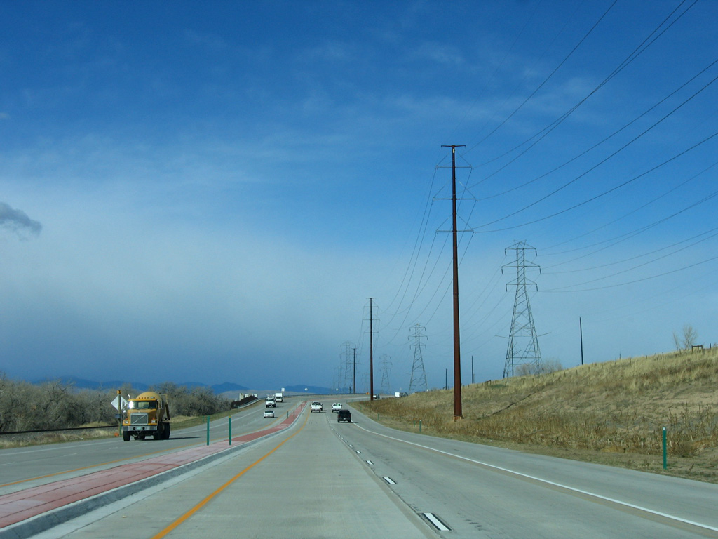
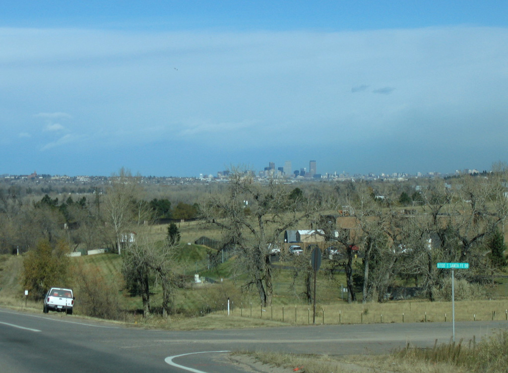
U.S. 85 (Santa Fe Drive) runs between a Union Pacific Railroad line and a transmission corridor ahead of the curve to Highlands Ranch.
11/14/05
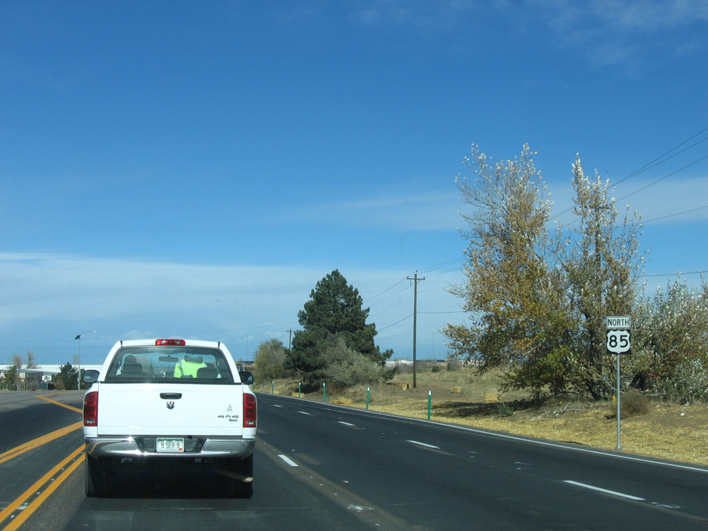
Highlands Ranch Parkway intersects U.S. 85 opposite Dumont Way to an adjacent industrial park ahead of this reassurance marker.
11/14/05
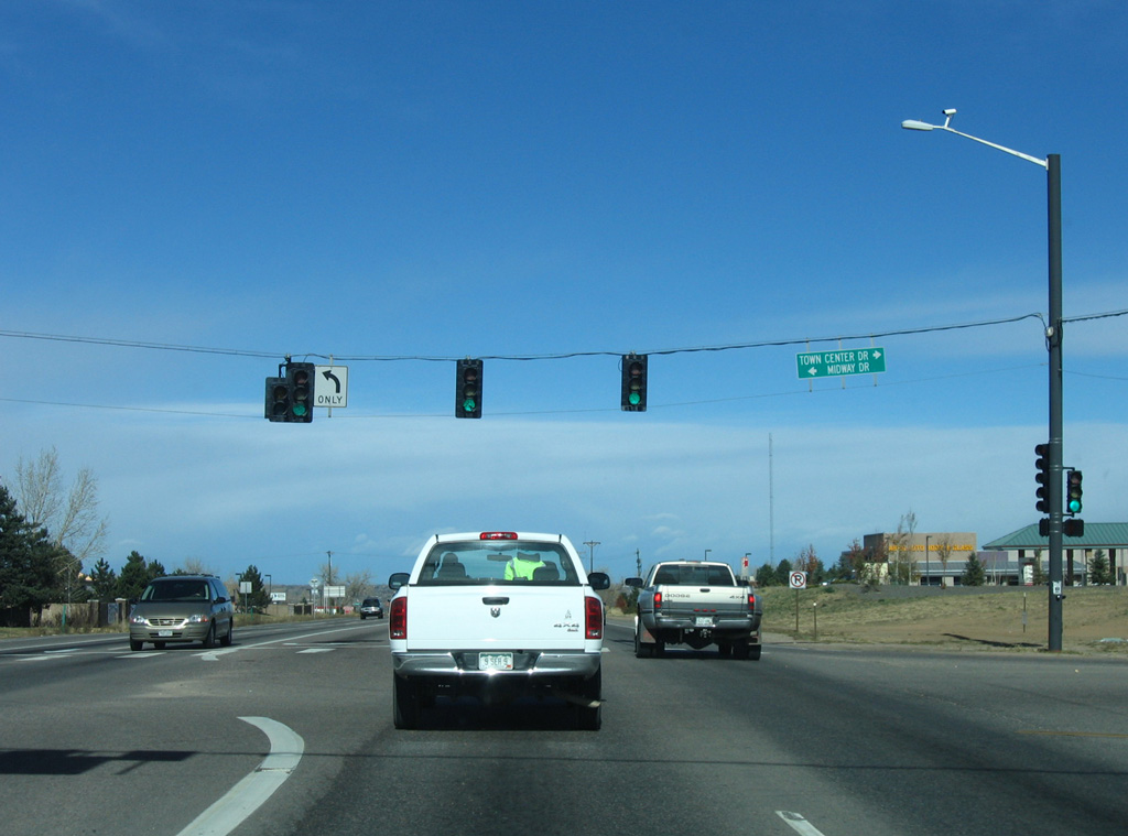
U.S. 85 proceeds north from Spring Gulch to the traffic light with Midway Drive west and Town Center Drive east.
11/14/05
The Denver comes into view from U.S. 85 (Santa Fe Drive) as the arterial lowers toward Marcy Gulch.
11/14/05
A pair of Union Pacific Railroad lines span U.S. 85 at Marcy Gulch.
11/14/05

Blakeland Drive spurs west to an industrial area from U.S. 85 (Santa Fe Drive) beyond the UP Railroad bridges.
11/14/05
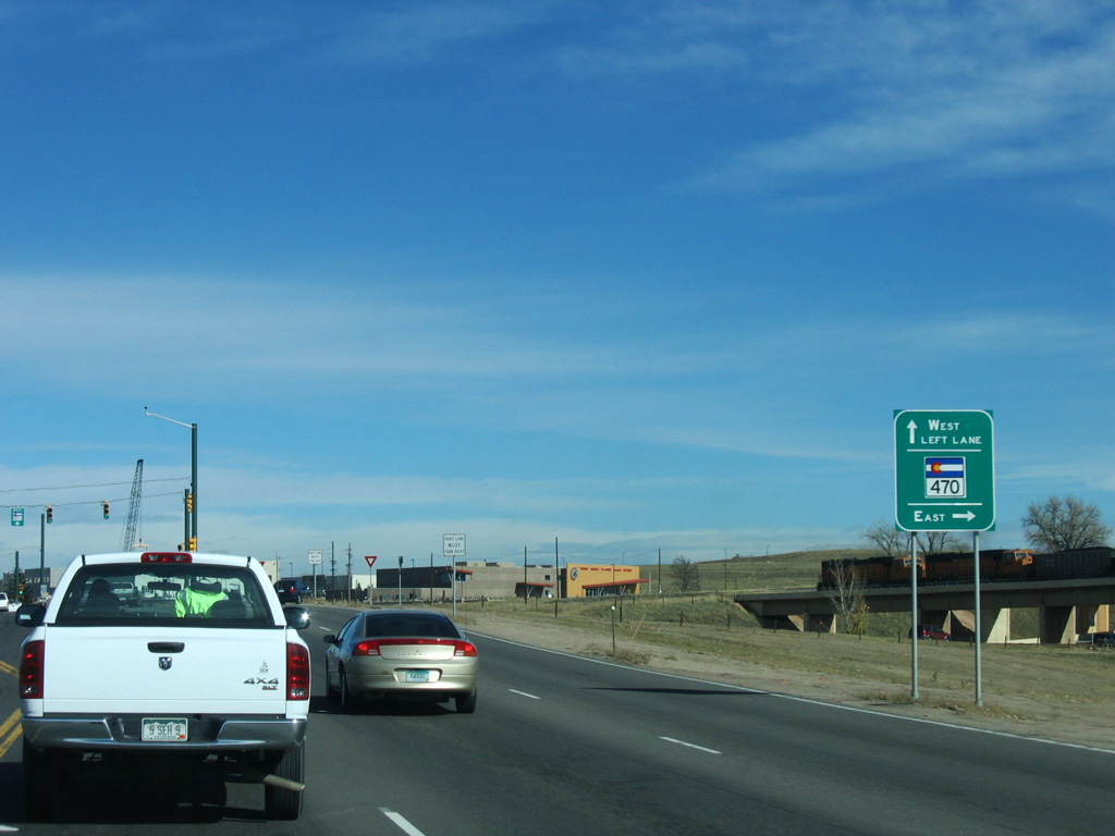
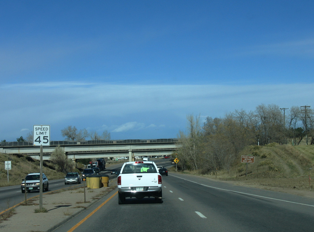
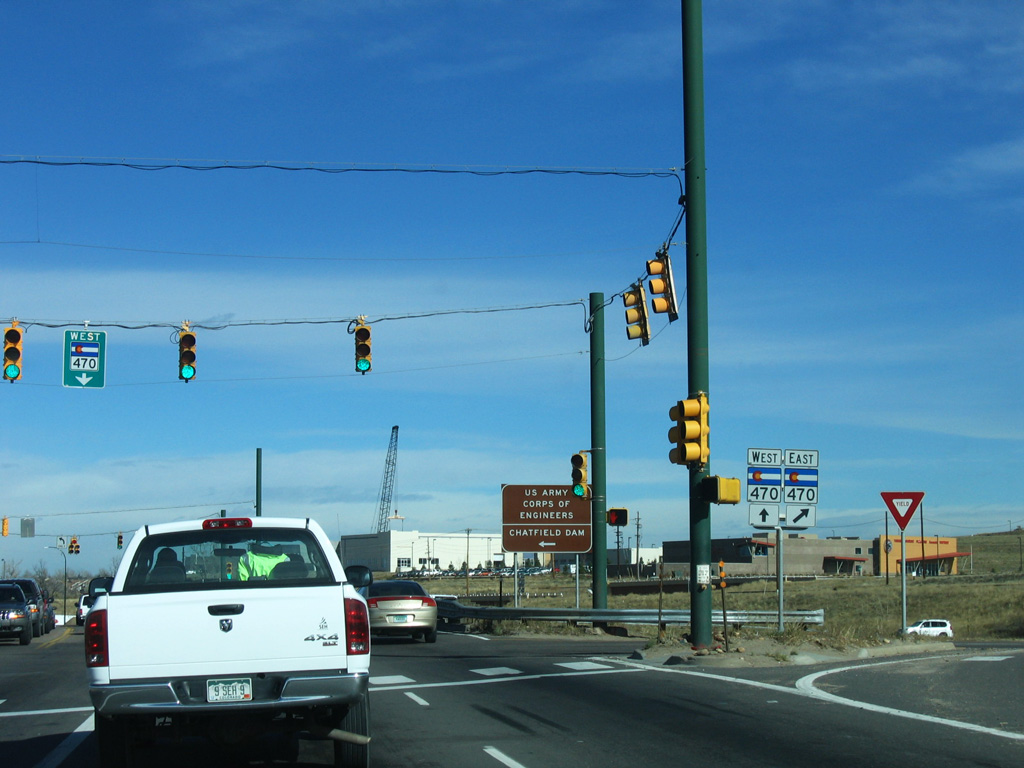
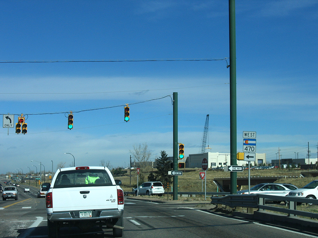
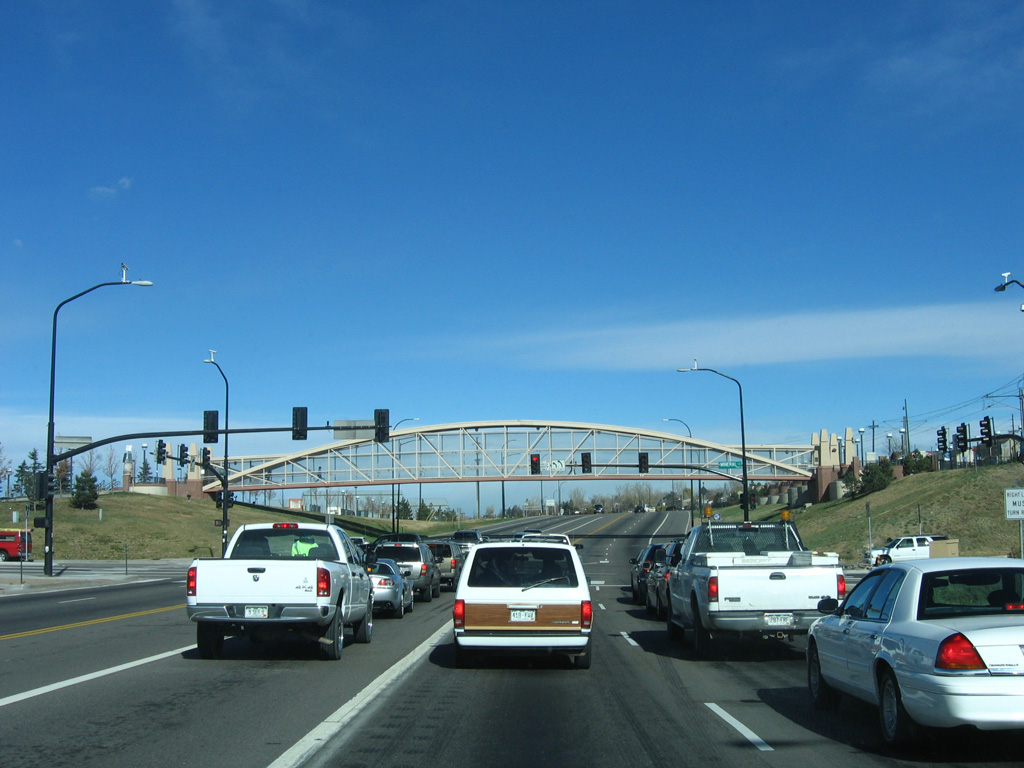
A diamond interchange joins U.S. 85 (Santa Fe Drive) with C-470, the Denver Belt Line.
11/14/05
C-470 is a commuter freeway leading east to I-25 and the E-470 toll road at Lone Tree.
11/14/05
West from U.S. 85 and Littleton, C-470 passes through Ken Caryl Ranch before turning north to I-70 and U.S. 6 at Golden.
11/14/05
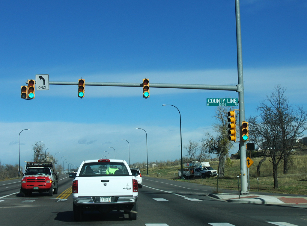
U.S. 85 (Santa Fe Drive) north enters Arapahoe County at County Line Road in the city of Littleton.
11/14/05
A high flyover was constructed from U.S. 85 south onto C-470 east across from this confirming marker on Santa Fe Drive.
11/14/05
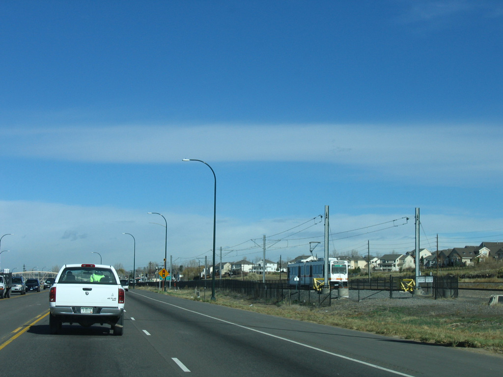
The Denver Light Rail system begins north alongside U.S. 85 at Littleton-Mineral Station.
11/14/05
Mineral Avenue intersects U.S. 85 east from Columbine and west from the SouthPark neighborhood.
11/14/05
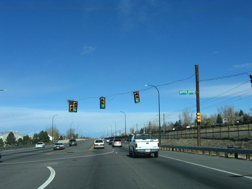
Aspen Grove Shopping Center sits at the northwestern corner of Santa Fe Drive and Mineral Avenue.
11/14/05
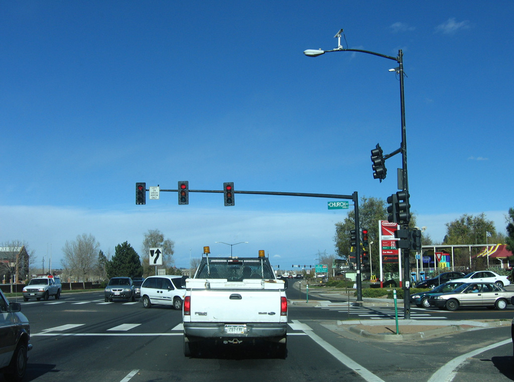
Santa Fe Drive advances north to the Littleton city center at Church Avenue. The city of Littleton was founded in 1890 with an original population of 245 residents. By the centennial in 1990, the population of Littleton had grown to 33,661 people.
11/14/05
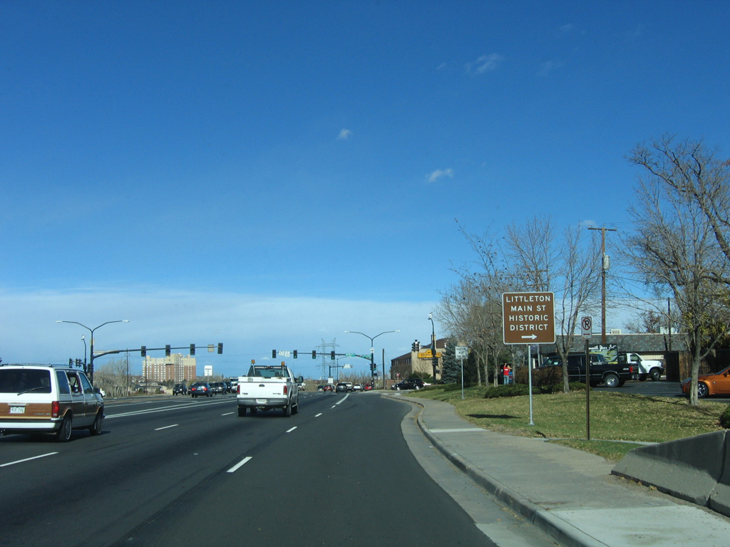
Bowels Avenue (former SH 75) ties into U.S. 85 (Santa Fe Drive) west of Historic Downtown Littleton.
11/14/05
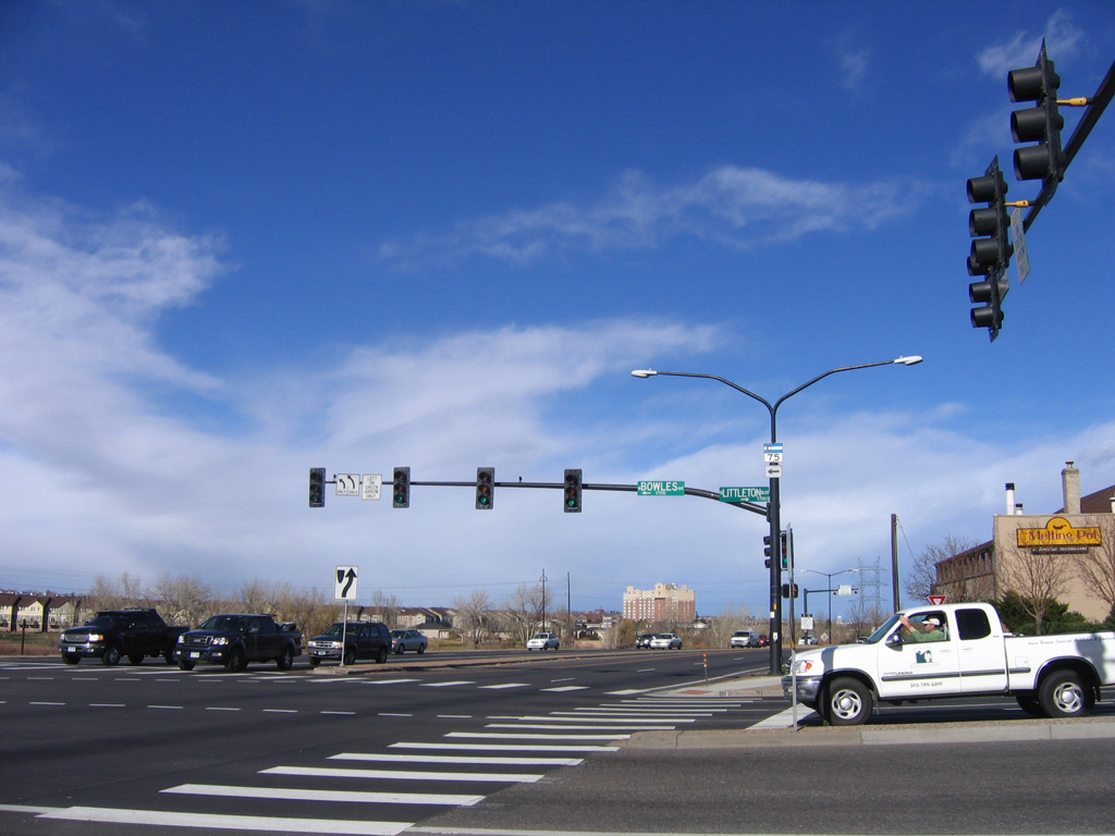
Littleton Boulevard links U.S. 85 and Bowles Avenue (old SH 75) with the couplet of Alamo Avenue east and Main Street west through Downtown Littleton.
11/14/05
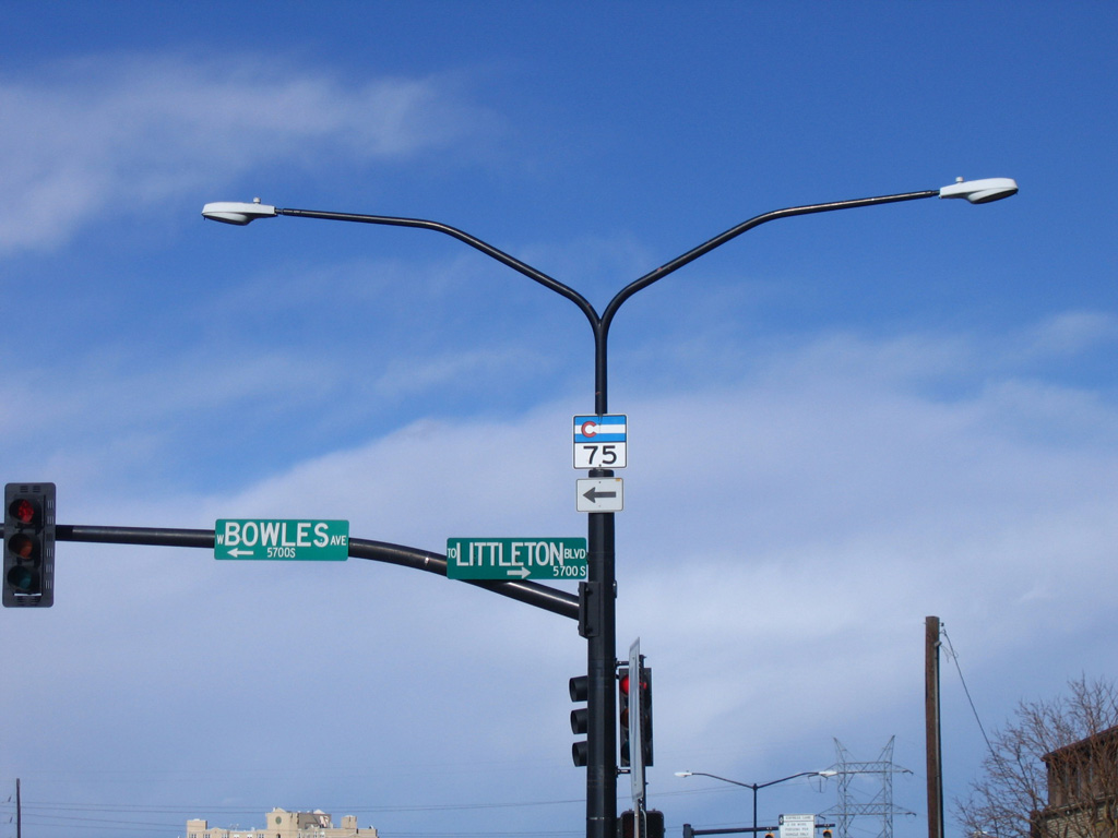
Bowles Avenue west 0.93 miles to Lowell Boulevard and S Platte Canyon Road was formerly part of SH 75. SH 75 runs 3.24 miles south between Columbine and the town of Columbine Valley between Bowles Avenue and C-470.
11/14/05
U.S. 85 (Santa Fe Drive) runs alongside the South Platte River northeast from Downtown Littleton toward SH 88 (Belleview Avenue).
07/04/12
Santa Fe Drive north at Prince Street in Littleton.
07/04/12
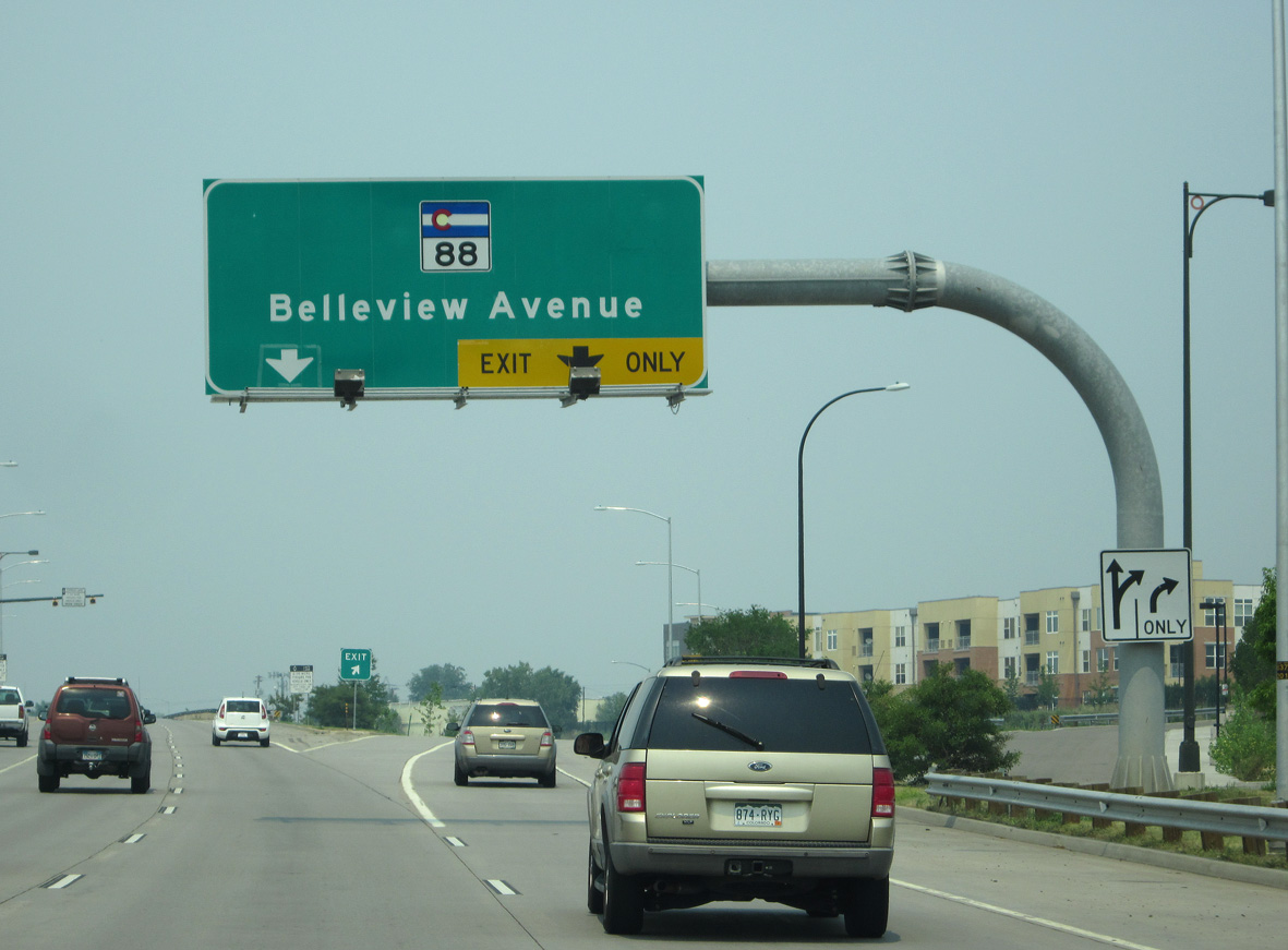
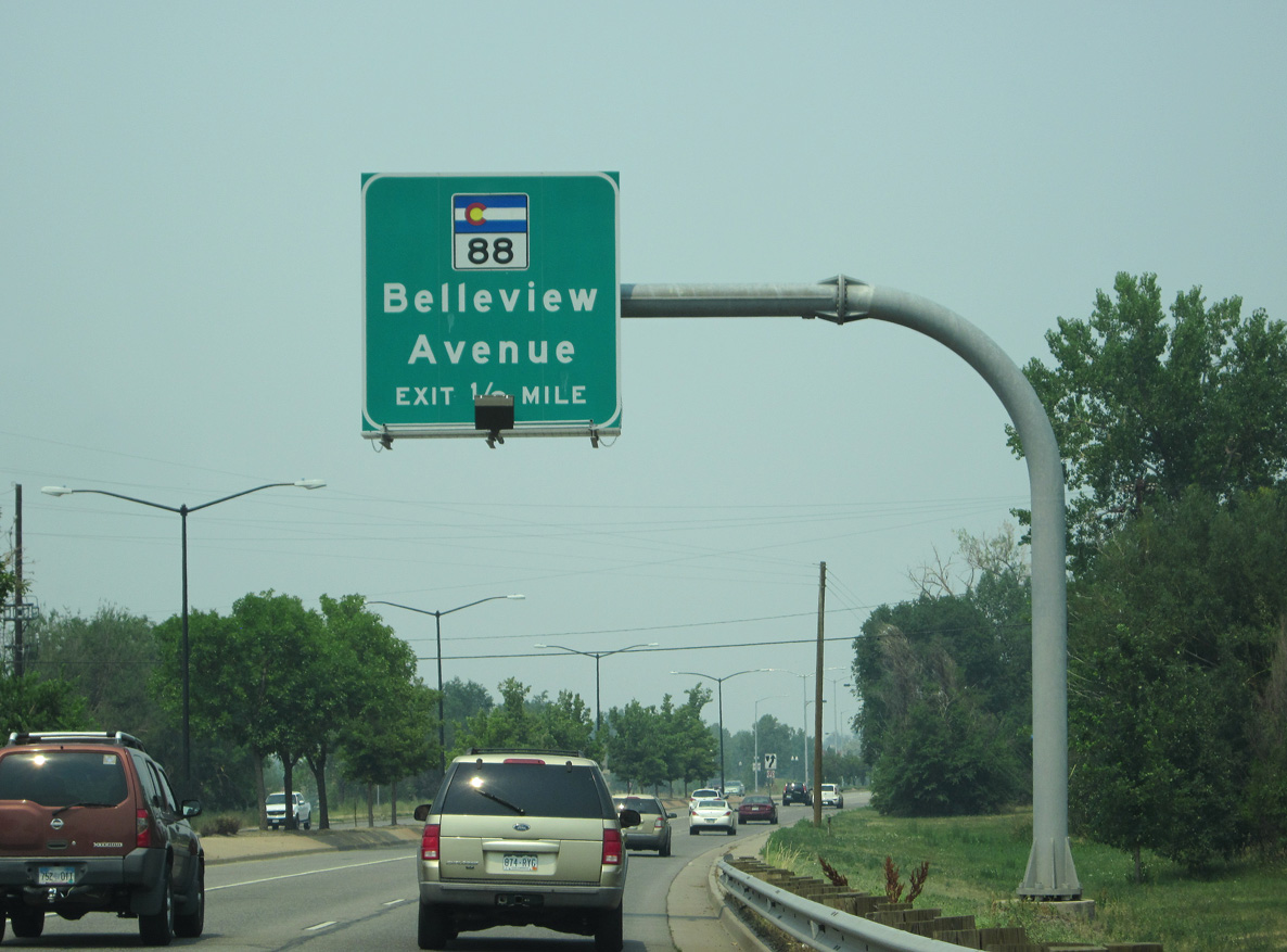
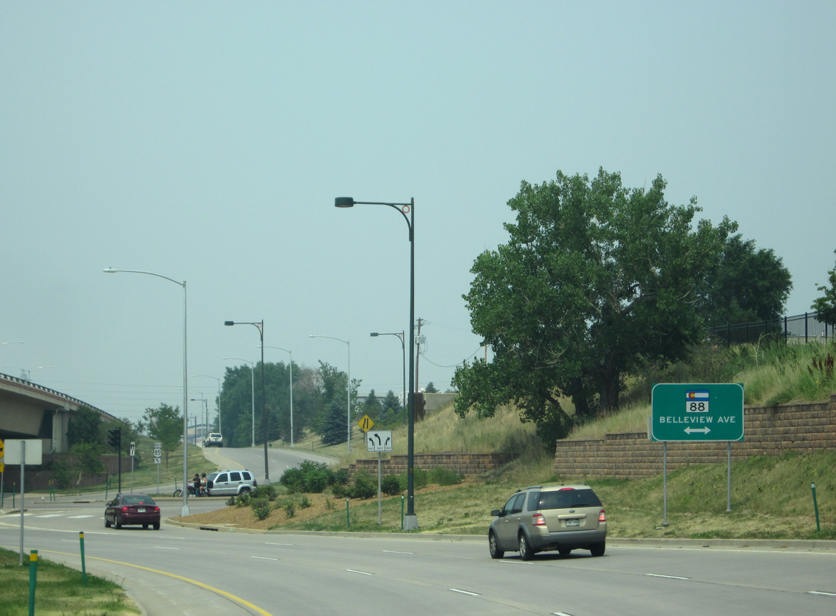
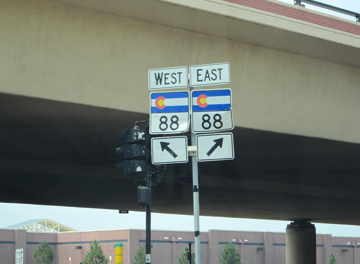
A SPUI joins U.S. 85 (Santa Fe Drive) with SH 88 (Belleview Avenue). SH 88 runs east to Greenwood Village and I-25 at the Denver Tech Center. West of the South Platte River, SH 88 turns north along Federal Boulevard to Sheridan.
07/04/12
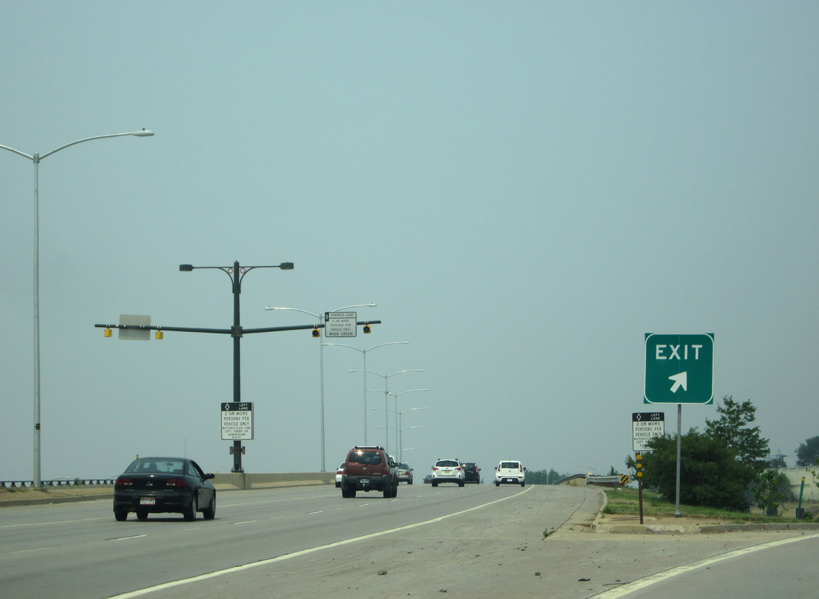
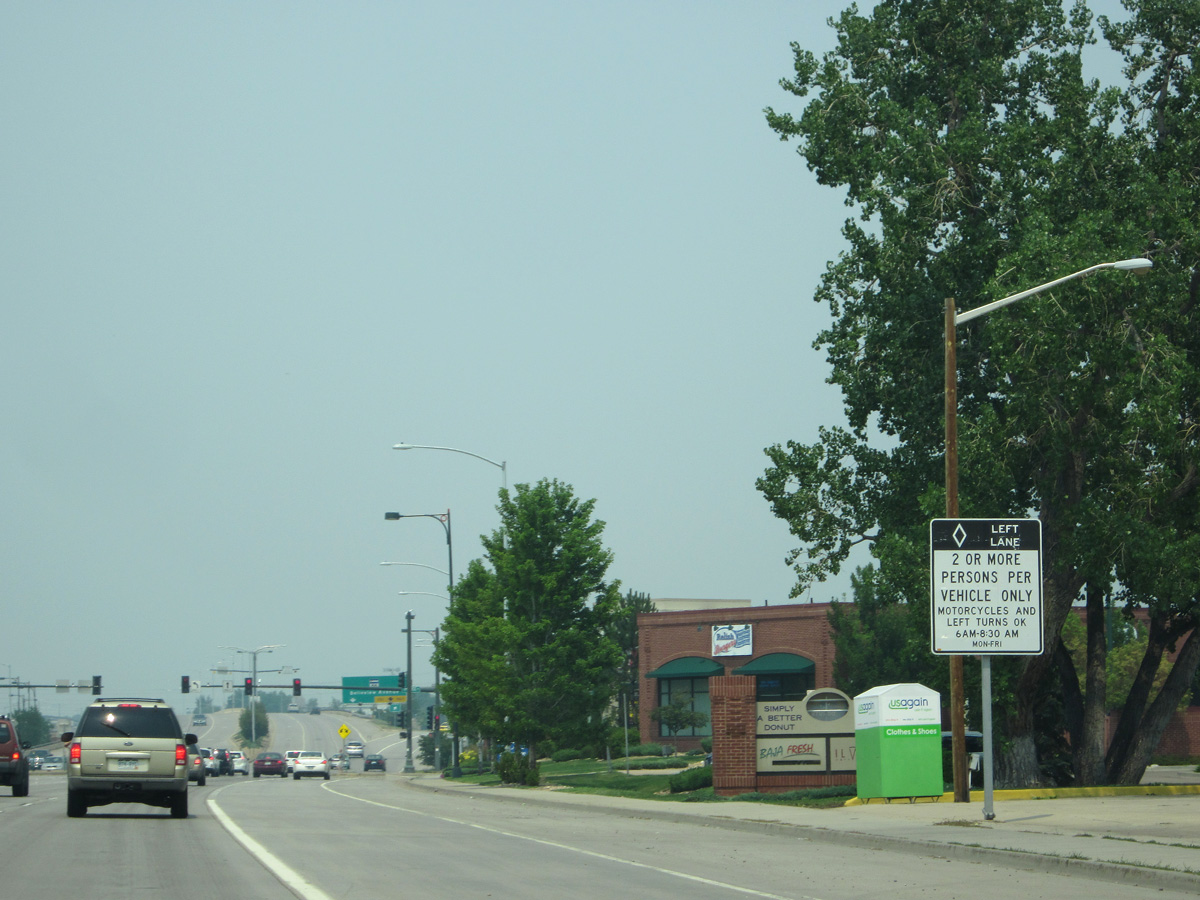
The left lane of U.S. 85 (Santa Fe Drive) north is restricted to high occupancy vehicles during the morning peak hours.
07/04/12
Part of a series of improvements along Santa Fe Drive that started in 1980, construction of the SPUI with SH 88 (Belleview Avenue) commenced in November 1996.1
07/04/12
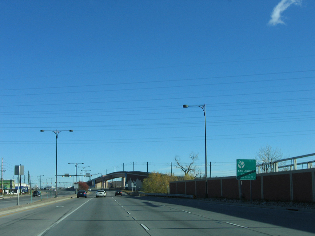
U.S. 85 continues north from Littleton into the city of Englewood. Meaning "wooded nook," Englewood was founded in 1864 as the homestead of Thomas Skerritt. It gradually grew in size as more people arrived, and it became an incorporated on May 13, 1903.
11/12/05
Northbound traffic on U.S. 85 shifted onto the 500 foot long overpass above SH 88 by August 2, 1998.2 The final phase of the $21 million project, adding the HOV lanes and west side frontage roads along Santa Fe Drive, ran from March 1999 to January 2000.1
07/04/12
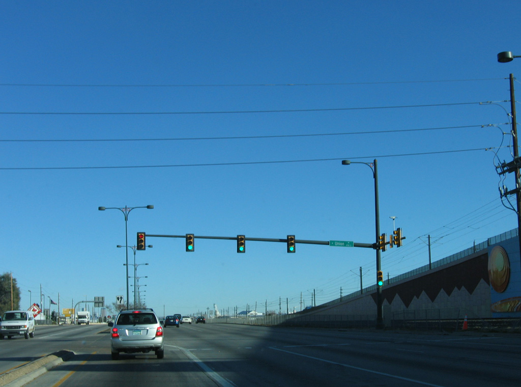
Union Avenue stems west across the South Platte River to Centennial Park and SH 88 (Federal Boulevard).
11/12/05
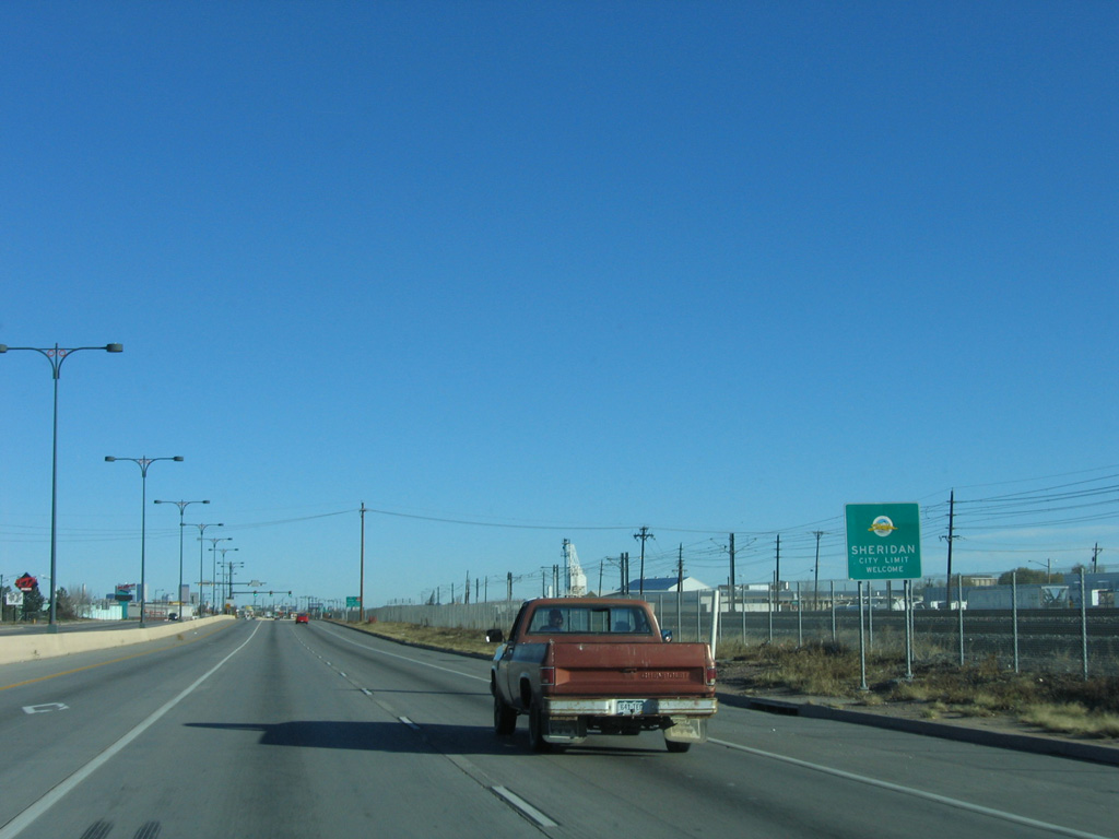
Northbound U.S. 85 next enters city of Sheridan as the Union Pacific railroad comes into view on the east side of Santa Fe Drive.
11/12/05
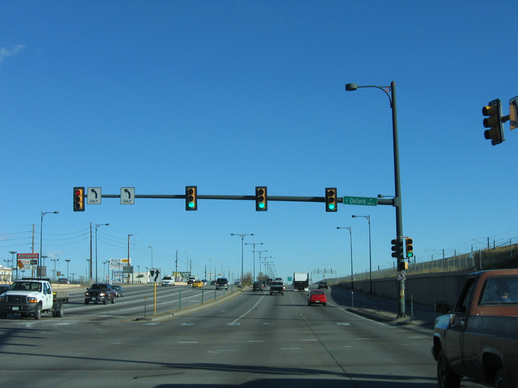
Oxford Avenue intersects U.S. 85 west from Cherry Hills Village and Englewood and east of Broken Tee Golf Course in Sheridan.
11/12/05
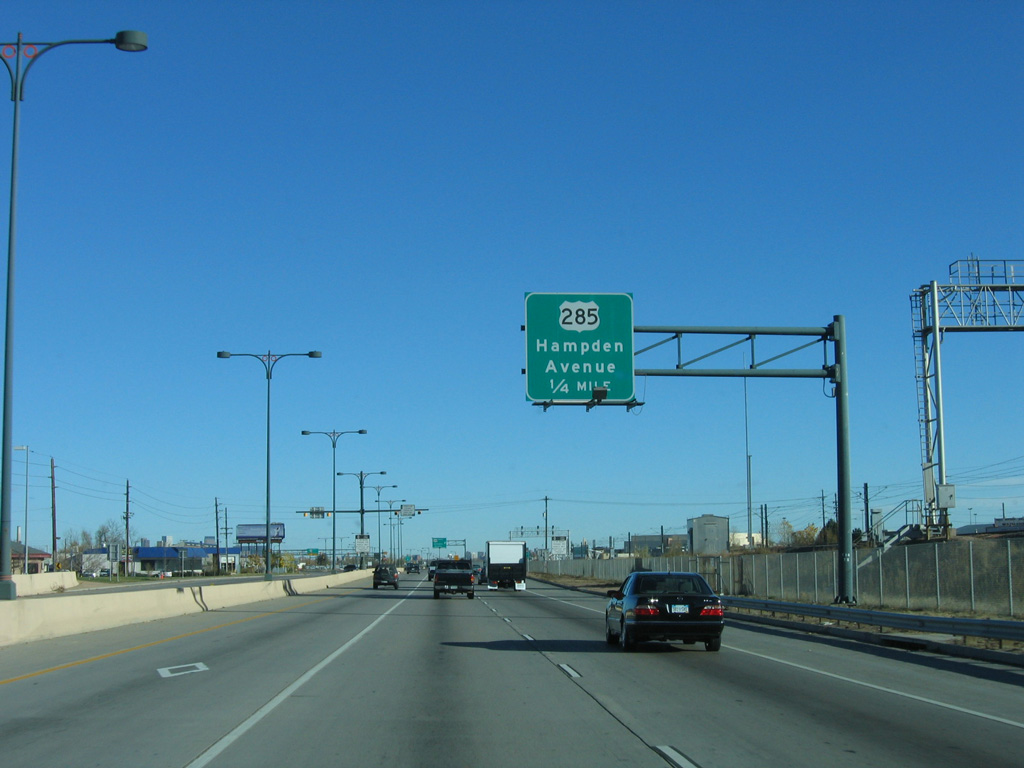
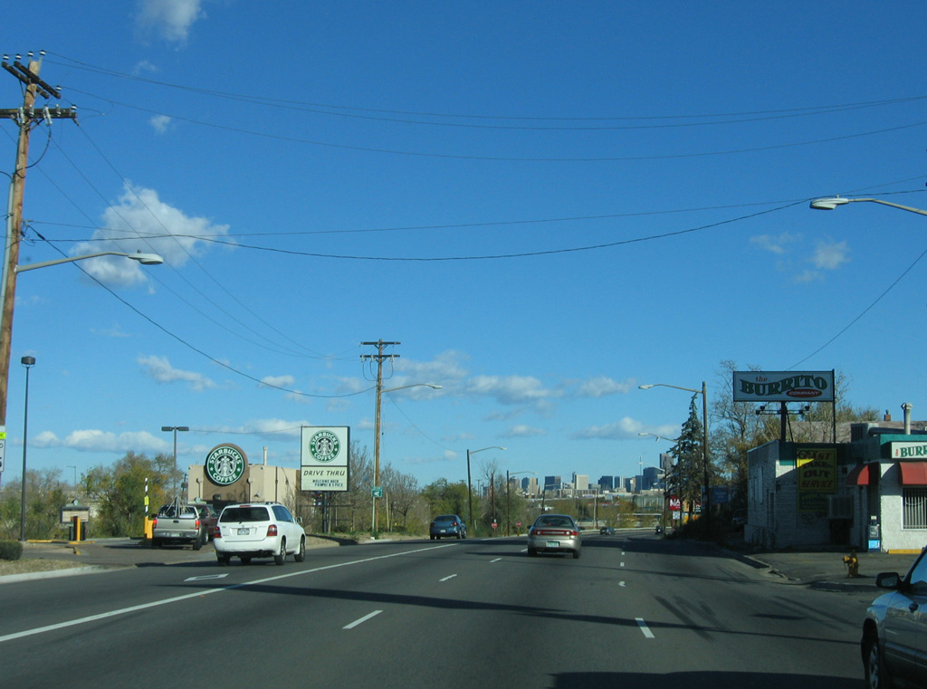
U.S. 285 (Hampton Avenue) originates west from I-25 at University Hills in Denver and meets U.S. 85 beyond a heavily commercialized stretch in Englewood.
11/12/05
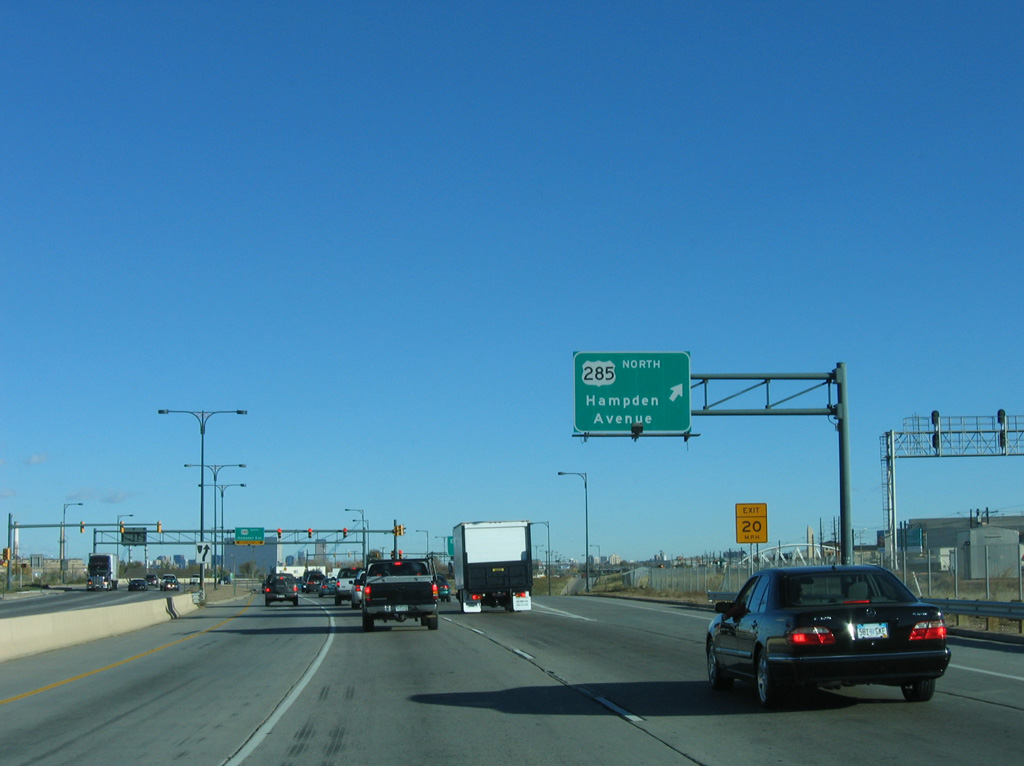
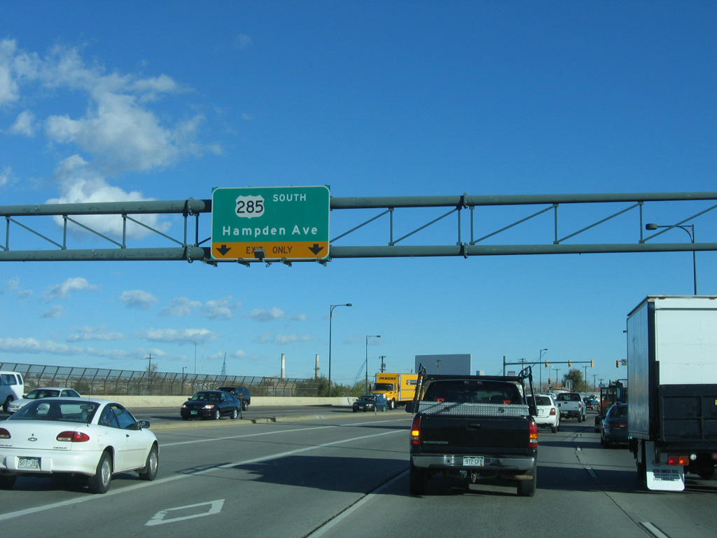
Entering the six-ramp parclo interchange with U.S. 285 (Hampton Avenue) north to Englewood and south to Sheridan and Fort Logan in Denver.
11/12/05
U.S. 285 upgrades to a limited access highway west of Lowell Boulevard at Harvey Park South in Denver to C-470 and SH 8 at the town of Morrison.
11/12/05
Loop ramps line the west side of the exchange with U.S. 285 as the UP Railroad and RTD Light Rail span Hampden Avenue to the immediate east.
11/12/05
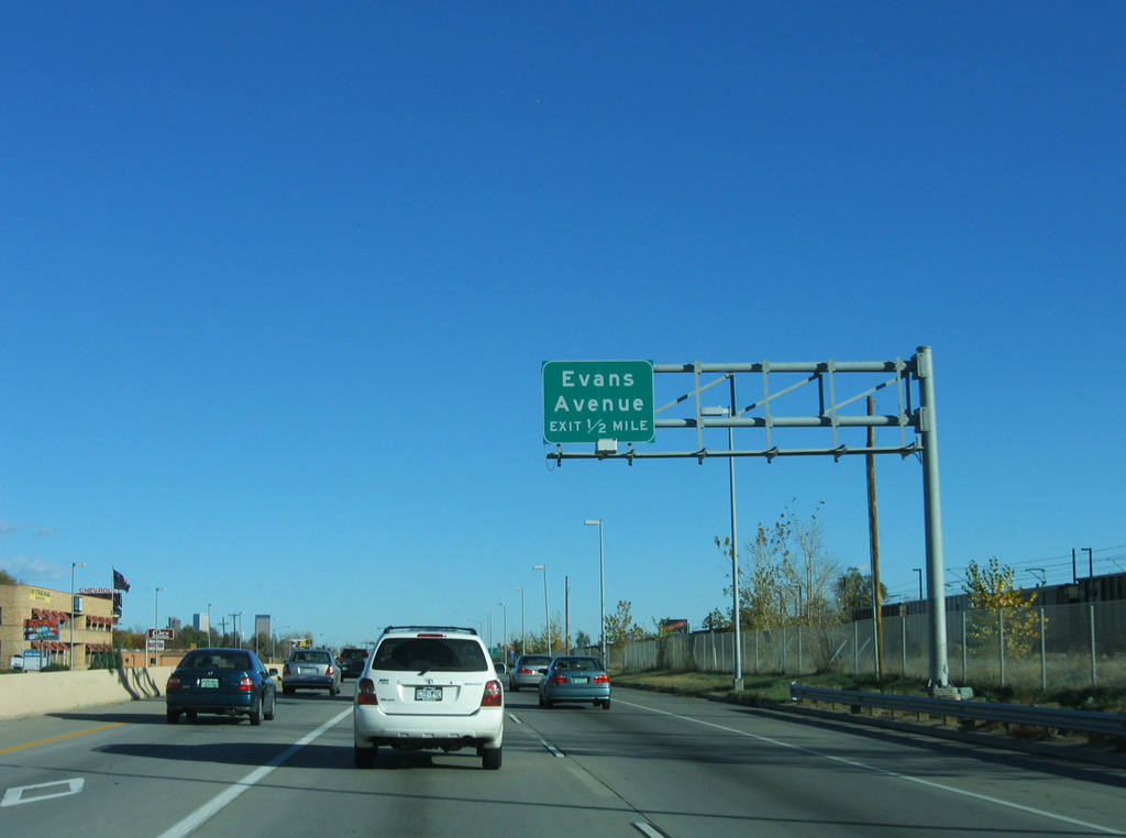
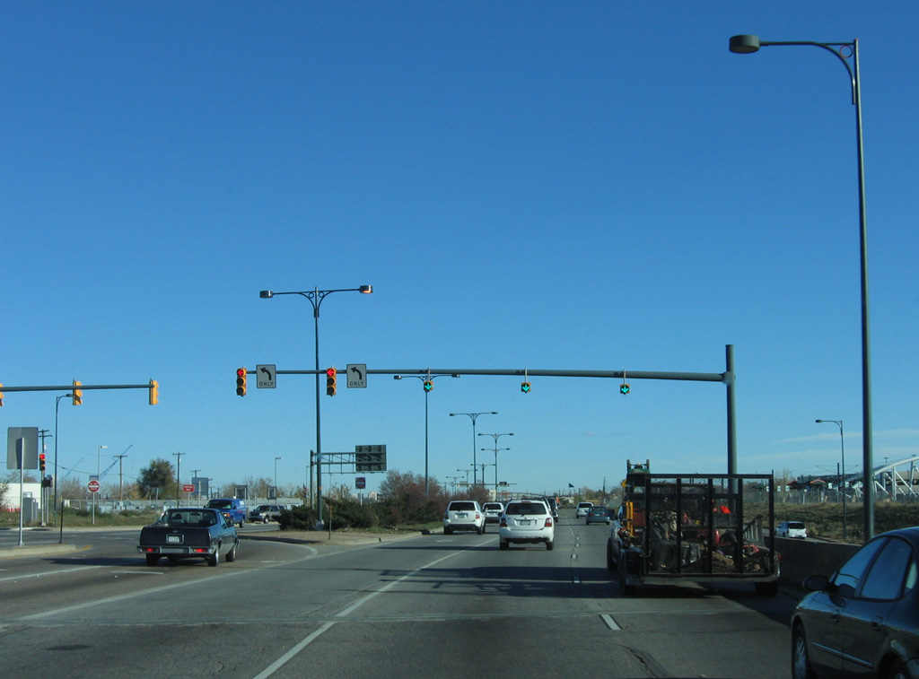
The succeeding exit along U.S. 85 (Santa Fe Drive) north is with Evans Avenue between the College View and Overland neighborhoods in Denver.
11/12/05
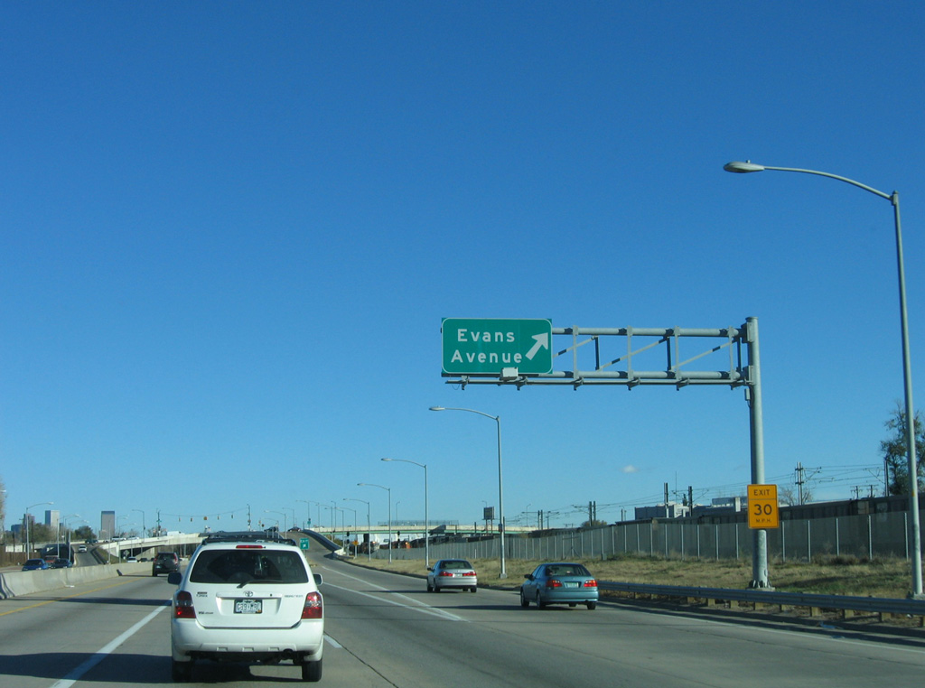
Evans Avenue runs east to the University of Denver and University Park and west to the Ruby Hill and Mar Lee neighborhoods.
11/12/05
The SPUI with Evans Avenue lies one mile north of the traffic light at Darmouth Avenue.
11/12/05
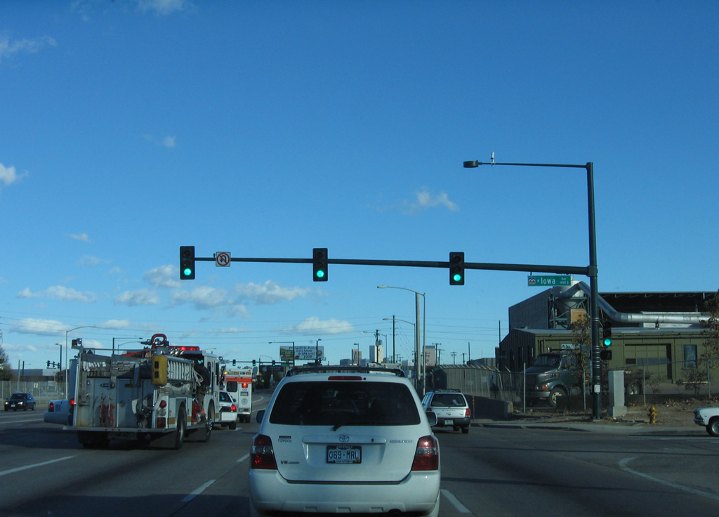
Continuing north by Overland Golf Course, U.S. 85 intersects Iowa Avenue east to the Platt Park neighborhood.
11/12/05
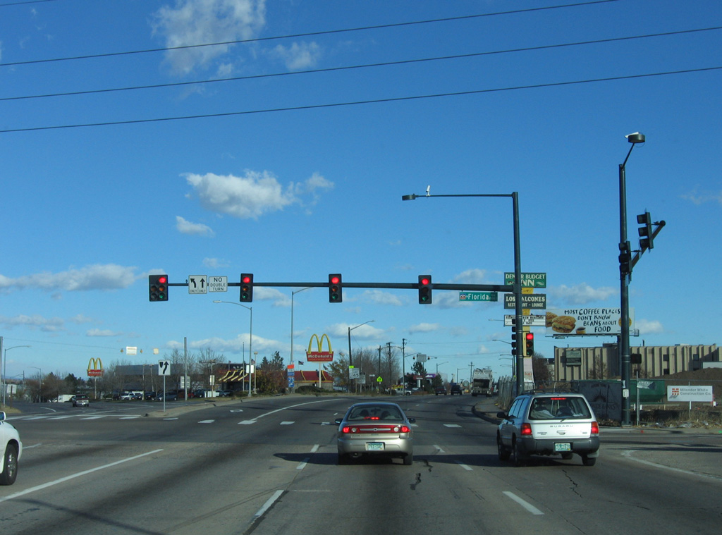
U.S. 85 separates into a one way couplet north of Florida Avenue. The route southbound follows Platte River Drive.
11/12/05
The South Platte River separates U.S. 85 north on Santa Fe Drive from southbound in Ruby Hill.
11/12/05
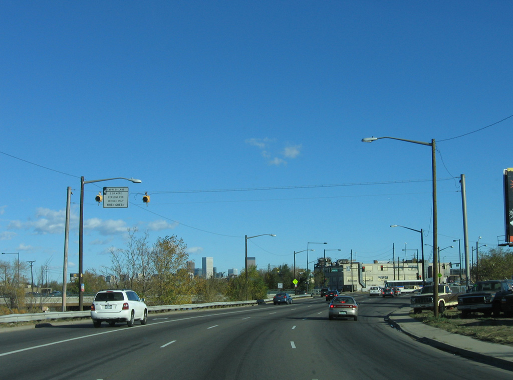
The HOV restriction for the left lane of Santa Fe Drive extends north to Interstate 25.
11/12/05
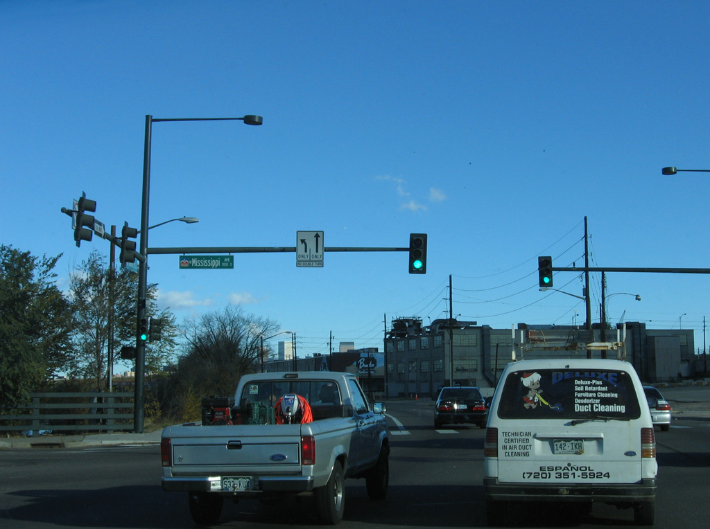
Santa Fe Drive north at Mississippi Avenue and the south end of the Baker community in Denver.
11/12/05
Industrial buildings sandwiched between Santa Fe Drive and the Union Pacific Railroad north to I-25 were demolished by 2014 to make way for new development.
11/12/05
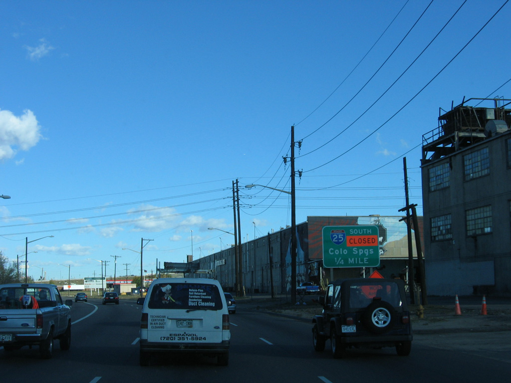
The entrance ramp to Interstate 25 north follows.
11/12/05
U.S. 85 combines with I-25/U.S. 87 north to Interstate 70 at Globeville in Denver. The route is unmarked along both freeways.
11/12/05
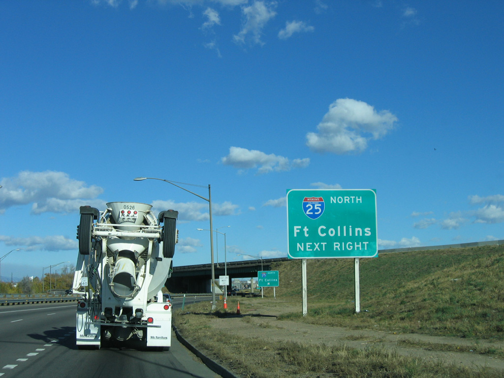
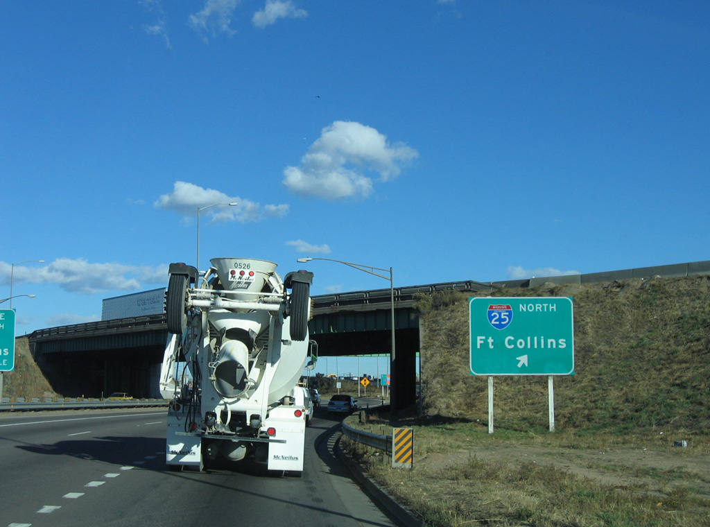
Interstate 25 travels north from Denver through the Adams County suburbs to Fort Collins and Cheyenne, Wyoming.
11/12/05
References:
- "Santa Fe Drive Project Reaches New Milestone." Rocky Mountain News (Denver, CO), January 11, 1999.
- "New Overpass Set to Open Next Weekend Santa Fe Interchange Diverts Northbound Cars." Rocky Mountain News (Denver, CO), July 25, 1998.
Photo Credits:
- Andy Field: 11/12/05, 11/14/05, 07/04/12
Connect with:
Page Updated Wednesday January 19, 2022.