
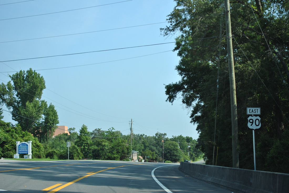
U.S. 90 East - Pensacola

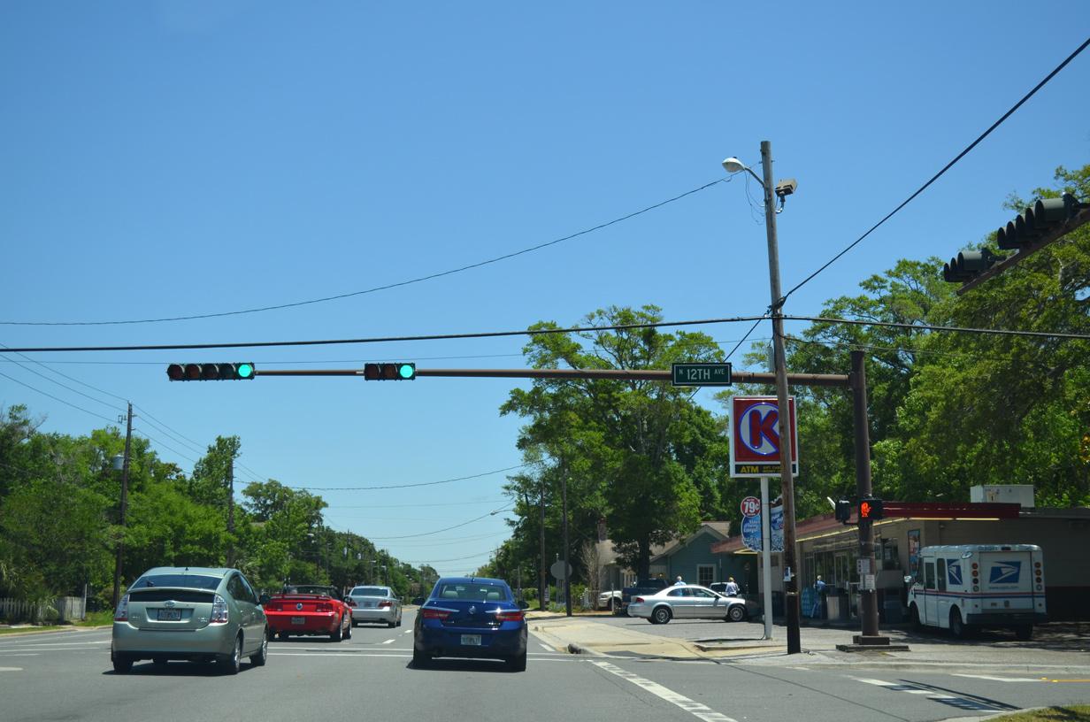
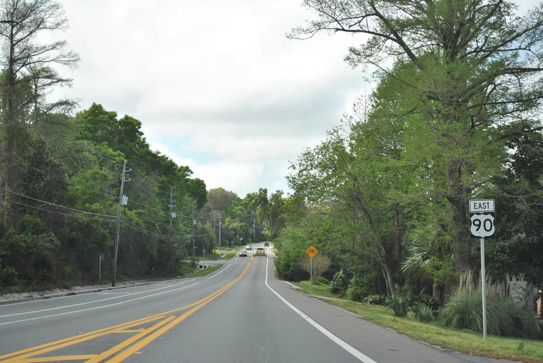
U.S. 90 (Cervantes Street) east at 12th Avenue in the East Hill neighborhood of Pensacola.
05/15/14
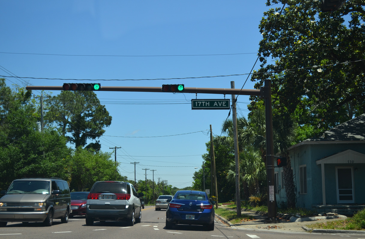
17th Avenue constitutes a busy connector south from U.S. 90 to U.S. 98 at the Pensacola Bay Bridge. 17th Avenue at Cerventes Street represents the historic west end of U.S. 98. This changed in 1955 when U.S. 98 was extended to Mississippi.
05/15/14
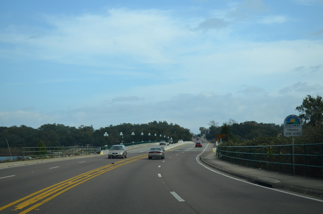
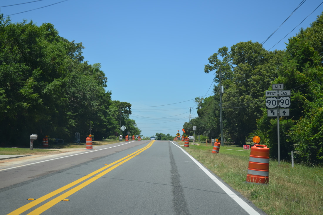
U.S. 90 lowers across Bayou Texar between 19th Avenue and Stanley Avenue. Bayou Texar is an elbow of Pensacola Bay spreading northward to Carpenter Creek at 12th Avenue. The four lane span for U.S. 90 here replaced an older span in 2000.
12/15/12
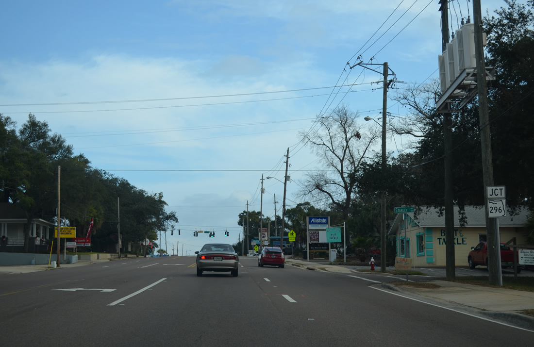
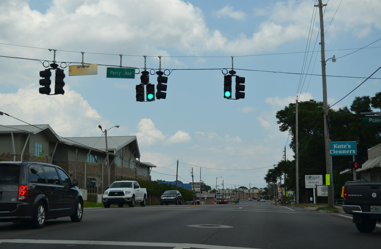
U.S. 90 (Cervantes Street) ascends from Bayou Texar to the east end of SR 296 (Perry Avenue).
12/25/12
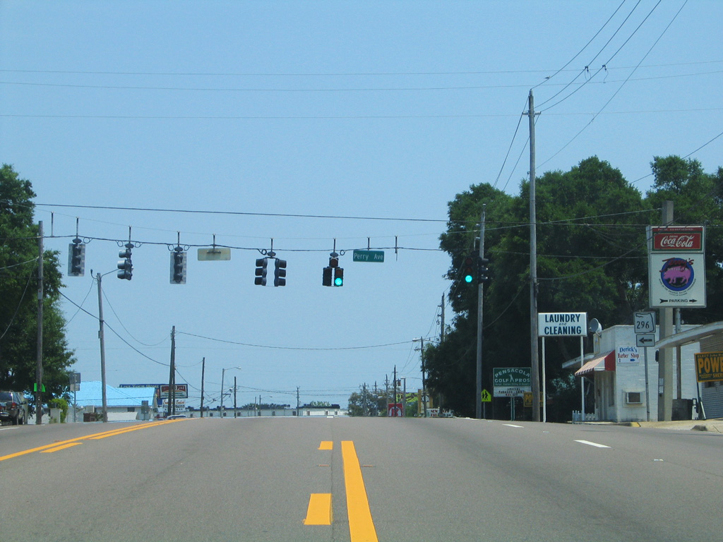
SR 296 travels northward along Perry Avenue to Bayou Boulevard and SR 289 (Ninth Avenue) at Cordova Mall. Beyond there, the state road turns westward along Brent Lane to I-110 (Exit 5).
05/13/16
This shield for SR 296 west posted at Cerventes Street and Perry Avenue was removed sometime after 2004.
05/09/04
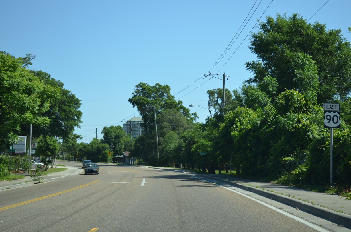
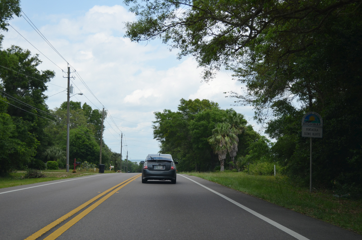
Curving northward, U.S. 90 transitions from Cervantes Street onto Scenic Highway at East Pensacola Heights. Scenic Highway continues the US route northward above the sand bluffs along Escambia Bay.
05/15/14
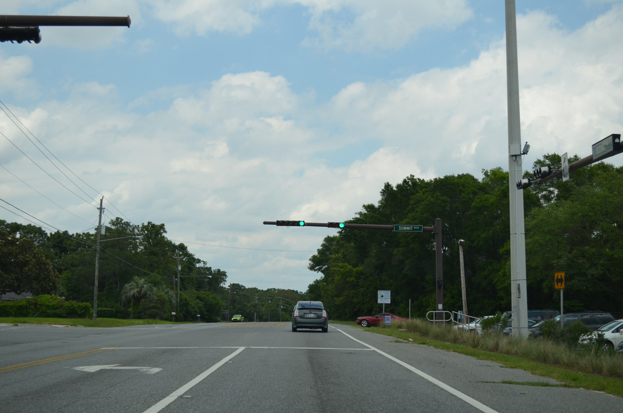
U.S. 90 (Scenic Highway) parallels the western shoreline of Escambia Bay northward to Summit Boulevard. Summit Boulevard winds westward around the periphery of Pensacola International Airport (PNS) to 12th Avenue.
05/13/16
Bay Bluffs Park, located along the east side of U.S. 90 at Summit Boulevard, is part of the Pensacola Scenic Bluffs Byway.
05/13/16
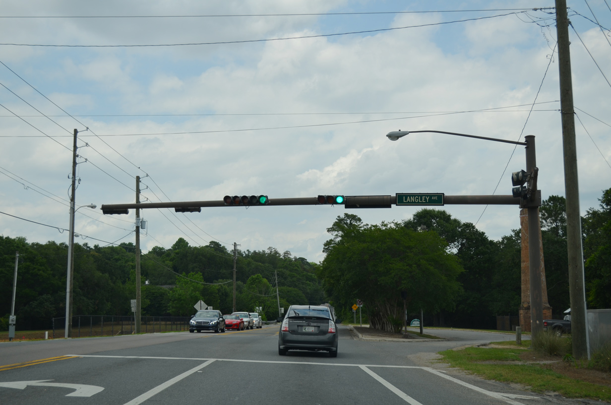
Langley Avenue connects with U.S. 90 (Scenic Highway) east from the Scenic Heights neighborhood and Pensacola State College at Chimney Park.
05/13/16

Approaching SR 742 (Creighton Road) on U.S. 90 (Scenic Highway) eastbound near Gull Point in northeastern Pensacola. SR 742 stems west from Scenic Highway through the Scenic Heights residential area to SR 289 (Ninth Avenue).
05/13/16
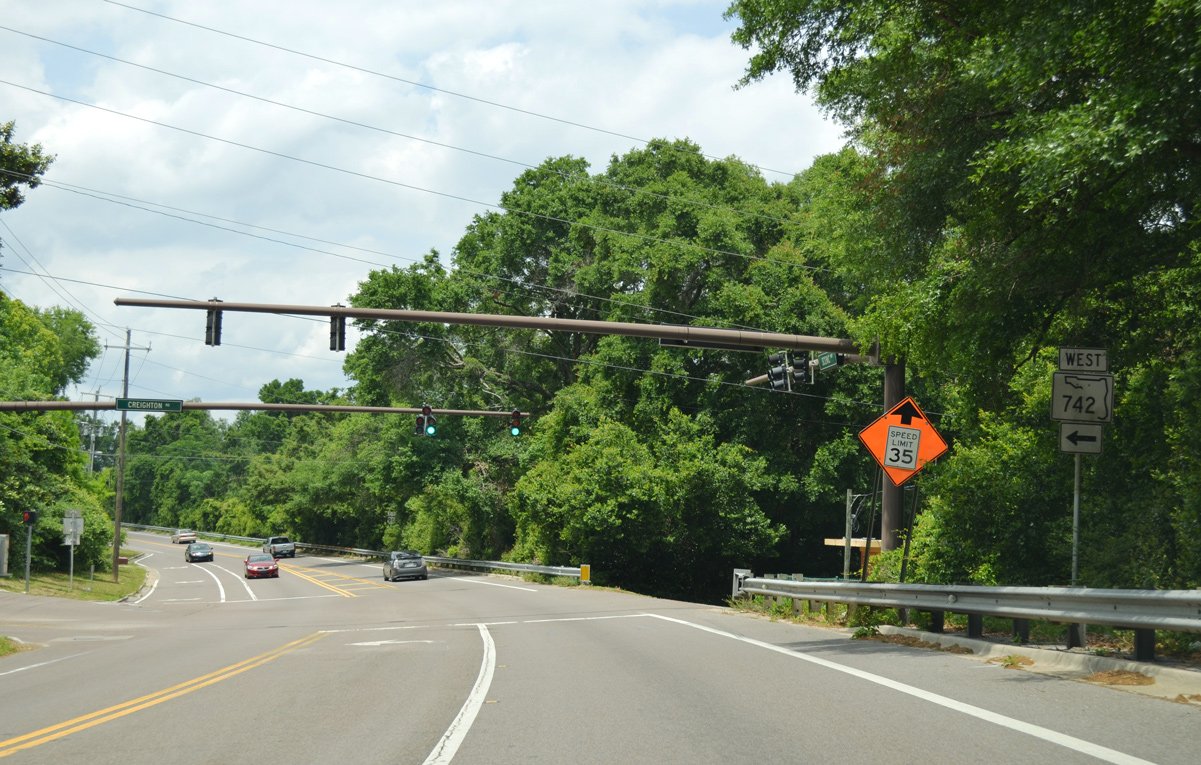
A safety improvement project in 2002 widened Scenic Highway at the east end of SR 742 (Creighton Road). A traffic light was added by 2005. SR 742 runs 8.28 miles west to U.S. 29 near Ensley.
05/13/16
Beyond SR 742, U.S. 90 (Scenic Highway) angles northwest toward Baywoods and the Pensacola city line.
05/15/14
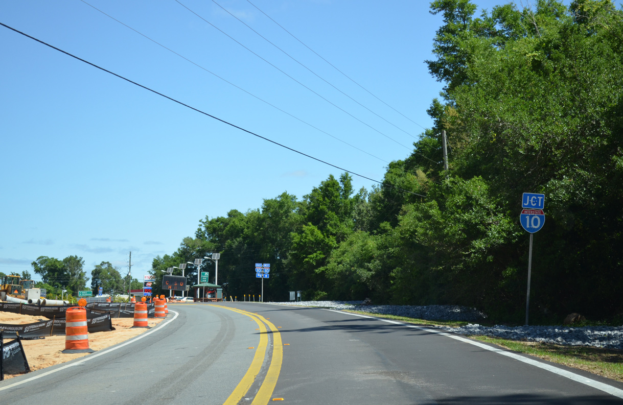
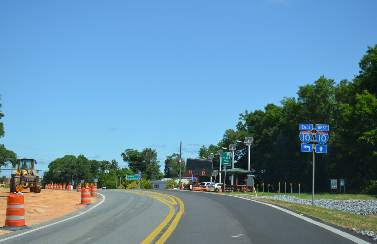
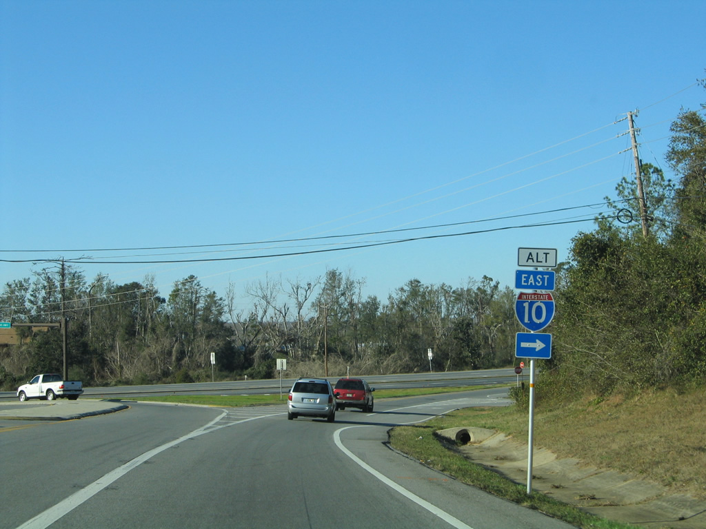
A folded diamond interchange (Exit 17) joins Scenic Highway and Interstate 10 near Rock Point on Escambia Bay.
05/15/14
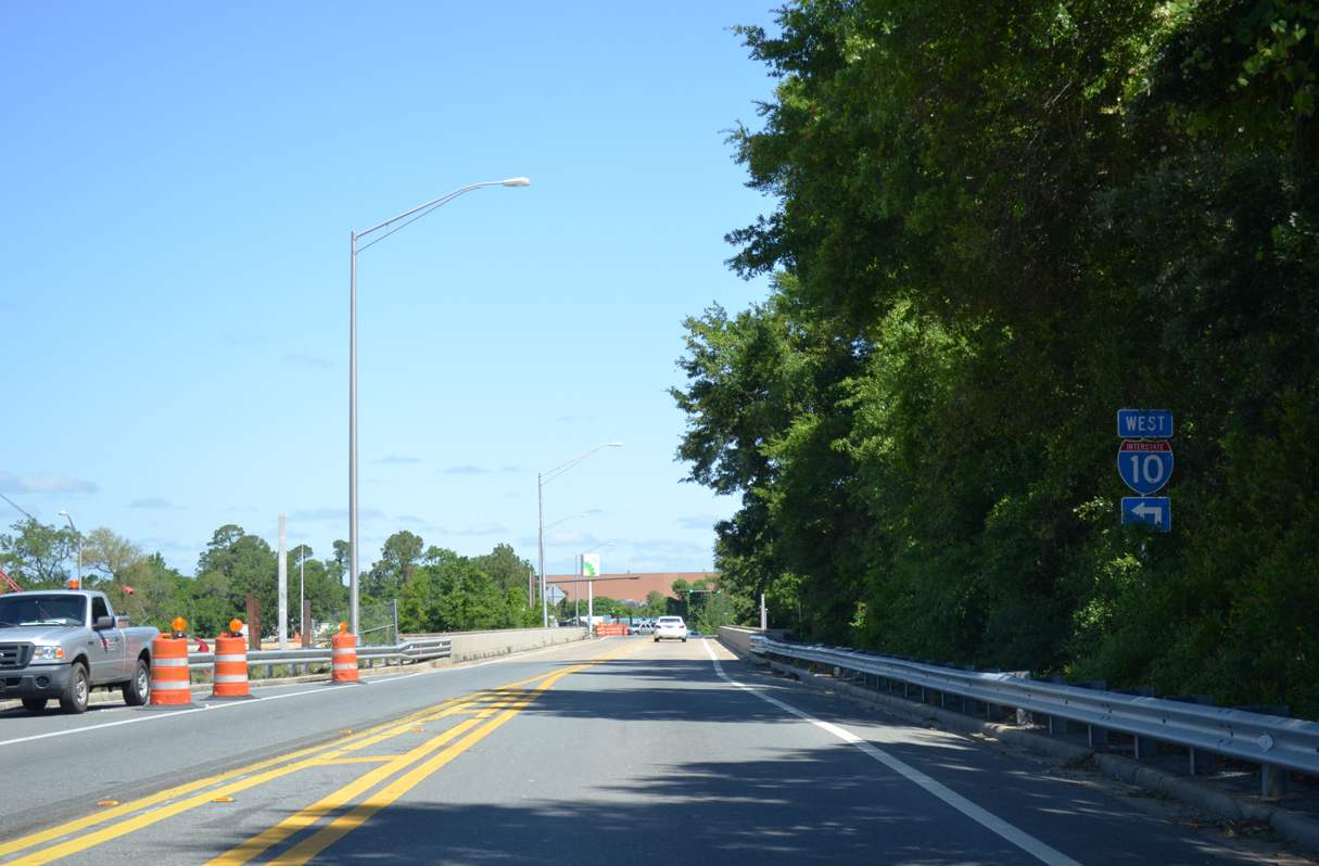
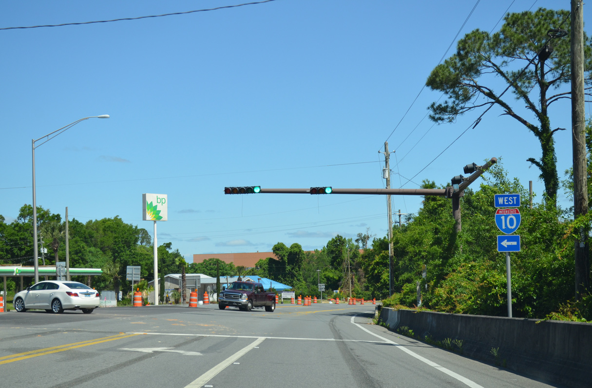
A loop ramp drops from U.S. 90 (Scenic Highway) onto Interstate 10 eastbound at the Escambia Bay Bridge.
05/15/14
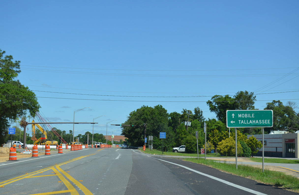
Passing over Interstate 10, U.S. 90 eastbound approaches the westbound entrance ramp to Mobile, Alabama. Traffic lights were added to the forthcoming intersection in March 2004.
05/15/14
I-10 continues west four miles from U.S. 90 to SR 291 (Davis Highway) and Interstate 110. Mobile is a 55 mile drive from Scenic Highway.
05/15/14
Continuing from the exchange with I-10, U.S. 90 (Scenic Highway) travels by Lora Pointa 3.3 miles along along Escambia and Macky Bays to U.S. 90 Alternate (Davis Highway).
08/03/11
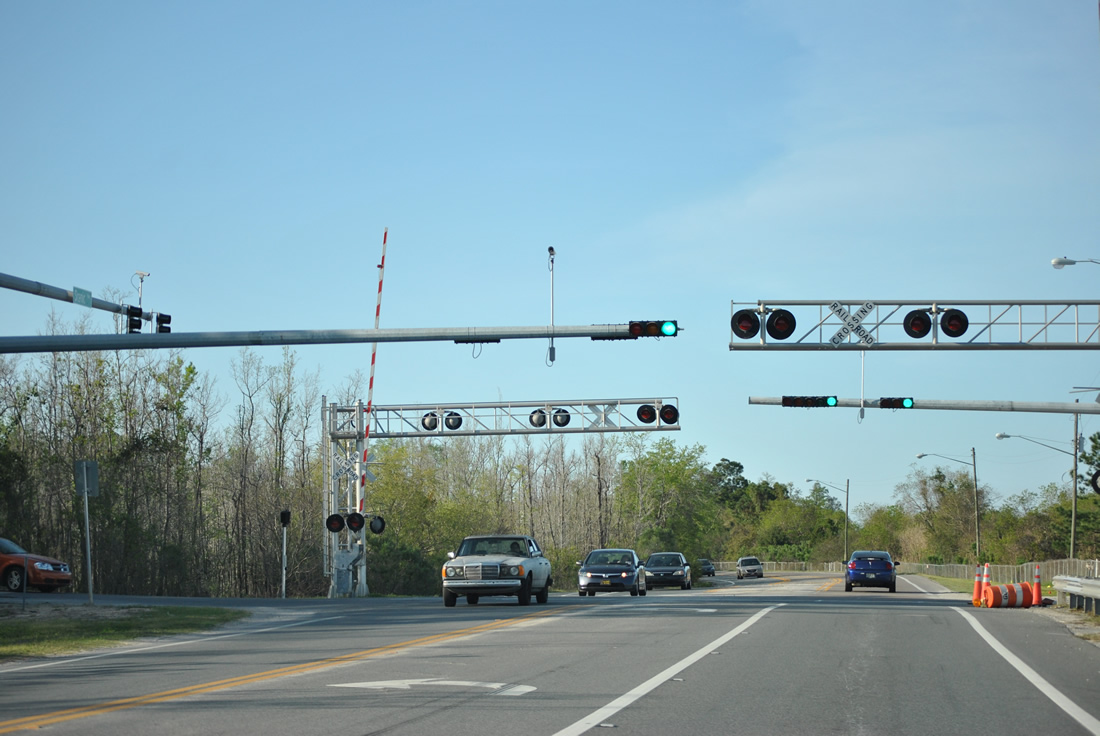
A traffic light was added to the GE Genrators plant entrance on U.S. 90 (Scenic Highway) during Winter 2012. The entrance parallels a railroad spur from the adjacent CSX Railroad.
03/17/12
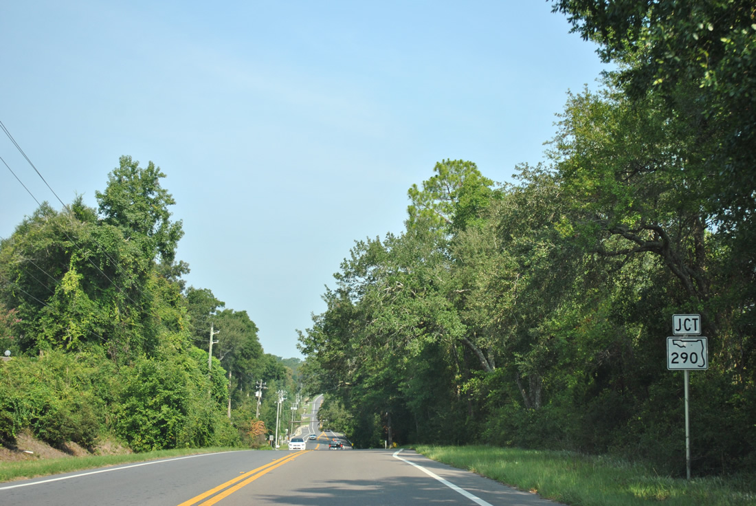
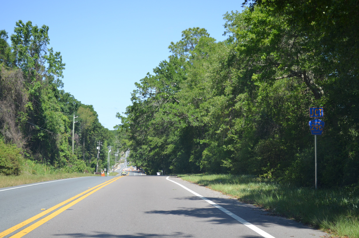
U.S. 90 rises from the Lora Point area and lowers again to Olive Road. Olive Road was previously a part of SR 290, a 5.48 mile route stretching west from Scenic Highway to CR 95A (Palafox Street). Signs for the state road on U.S. 90, SR 289 and SR 291 were replaced with CR 290 markers by September 2012.
08/03/11
05/15/14
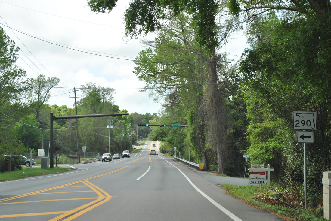
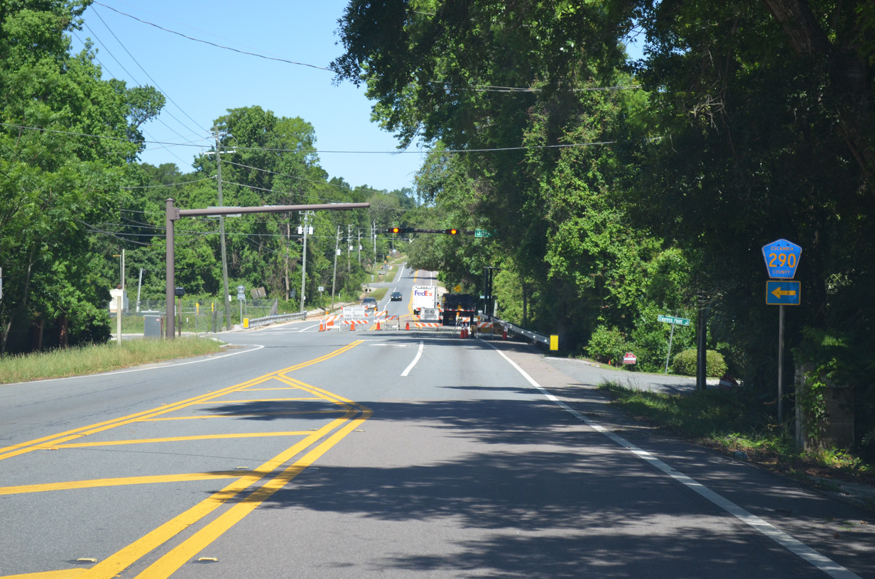
Olive Road rises from U.S. 90 to Johnson Avenue on the one mile drive to SR 289 (Ninth Avenue) south. The former state road provides a useful alternate to I-10 between Scenic Highway and Davis Highway (SR 291).
SR 290 was turned over to county maintenance on June 30, 2011.
03/20/12
05/15/14
North from Olive Road (CR 290), U.S. 90 undulates over a series of bluffs along the periphery of Macky Bay.
03/20/12
U.S. 90 (Scenic Highway) converges with U.S. 90 Alternate (Davis Highway) near the University of West Florida (UWF). Davis Highway carries SR 291 northward through Ferry Pass, becoming a part of U.S. 90 Alternate one mile to the west. Davis Highway was at one point the U.S. 90 mainline from Pensacola northward to Riverview.
05/27/13
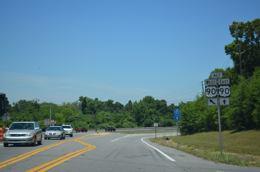
U.S. 90 Alternate bends southwest from U.S. 90 (Scenic Highway) to split with Davis Highway for Nine Mile Road west to Ensley.
05/27/13
An alternate route for Interstate 10 was utilized during the multi-year emergency construction project to replace the Escambia Bay Bridges. Trailblazers for I-10 directed motorists along a number of routes including U.S. 90, U.S. 29, SR 4, SR 89, etc. These routes varied between tractor trailers and wide loads and were utilized until the first new span opened to traffic.
01/18/06
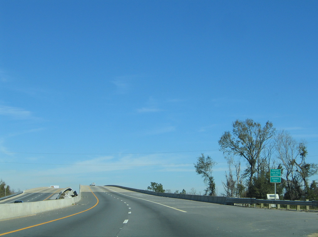
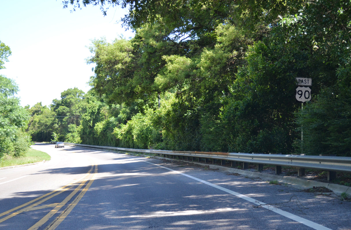
U.S. 90 aims northward from Scenic Highway across the Escambia River and Santa Rosa County line. The original span across the river was replaced with a pair of concrete bridges by September 2004.
02/01/06


Photo Credits:
- ABRoads: 03/17/12, 05/15/14
- Alex Nitzman: 05/09/04, 01/18/06, 02/01/06, 08/03/11, 03/20/12, 12/15/12, 12/25/12, 05/27/13, 05/13/16
Connect with:
Page Updated Monday October 14, 2019.