
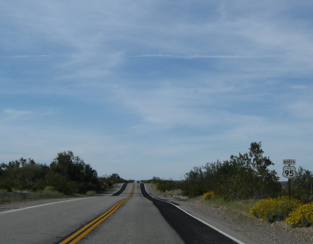
U.S. 95 North - Vidal Junction to Needles
The city of Needles is located in the Mojave Valley through which the Colorado River runs. Founded in 1883 with the coming of the railroad, and incorporated October 30, 1913, Needles had a population of 4,931 people as of the 2020 Census. A welcome oasis in the desert, all motorist services are available in Needles. Needles is also known for its extreme Summer temperatures, which can climb in excess of 120 degrees.
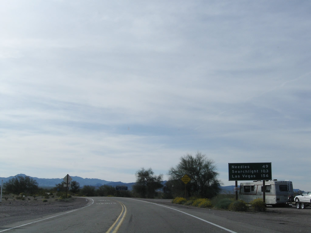
Needles is 49 miles to the north of Vidal Junction along U.S. 95.
03/14/09
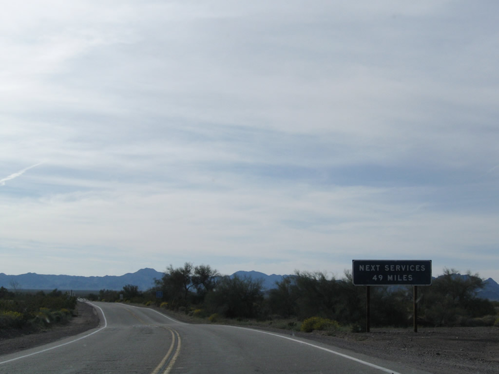
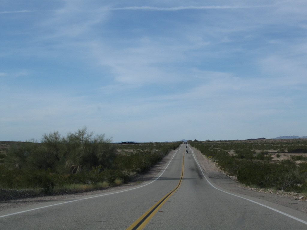
There are no motorist services on U.S. 95 between Vidal Junction and Needles.
03/14/09
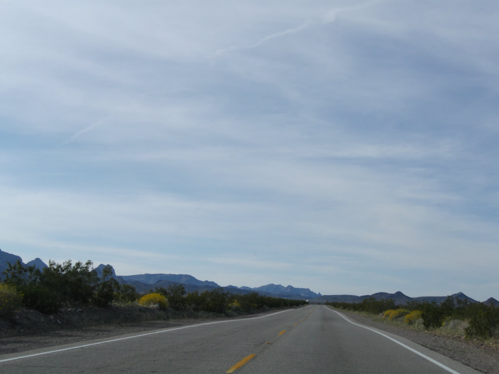
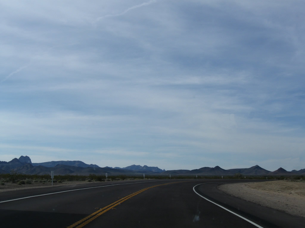
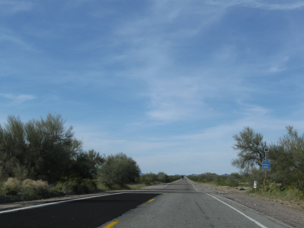
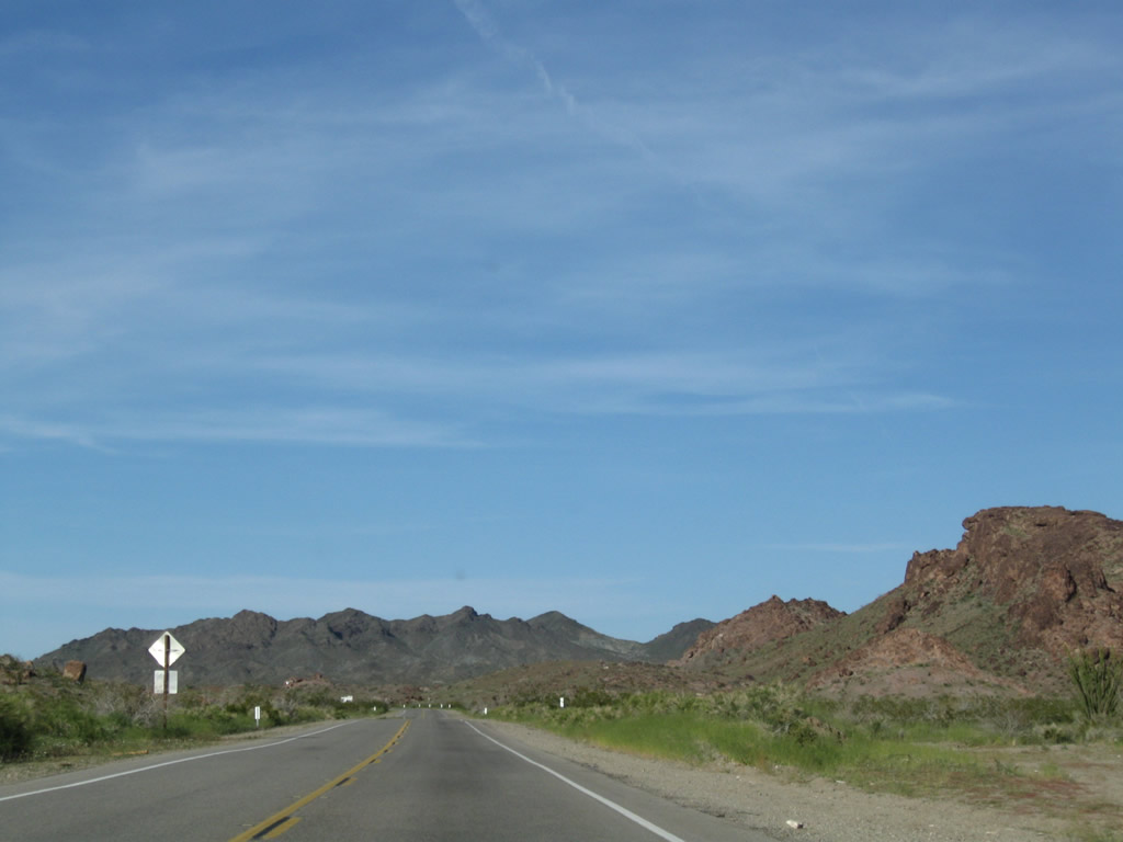
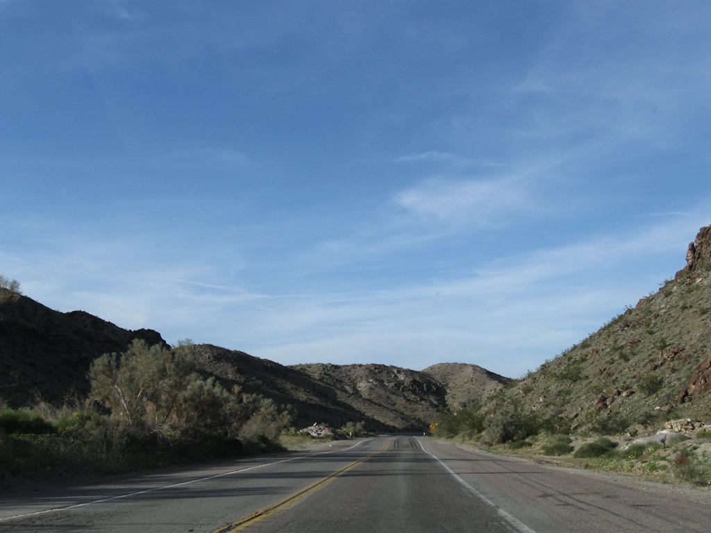
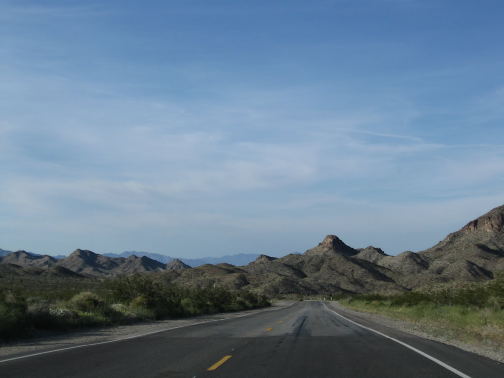
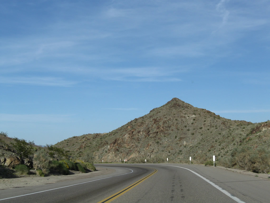
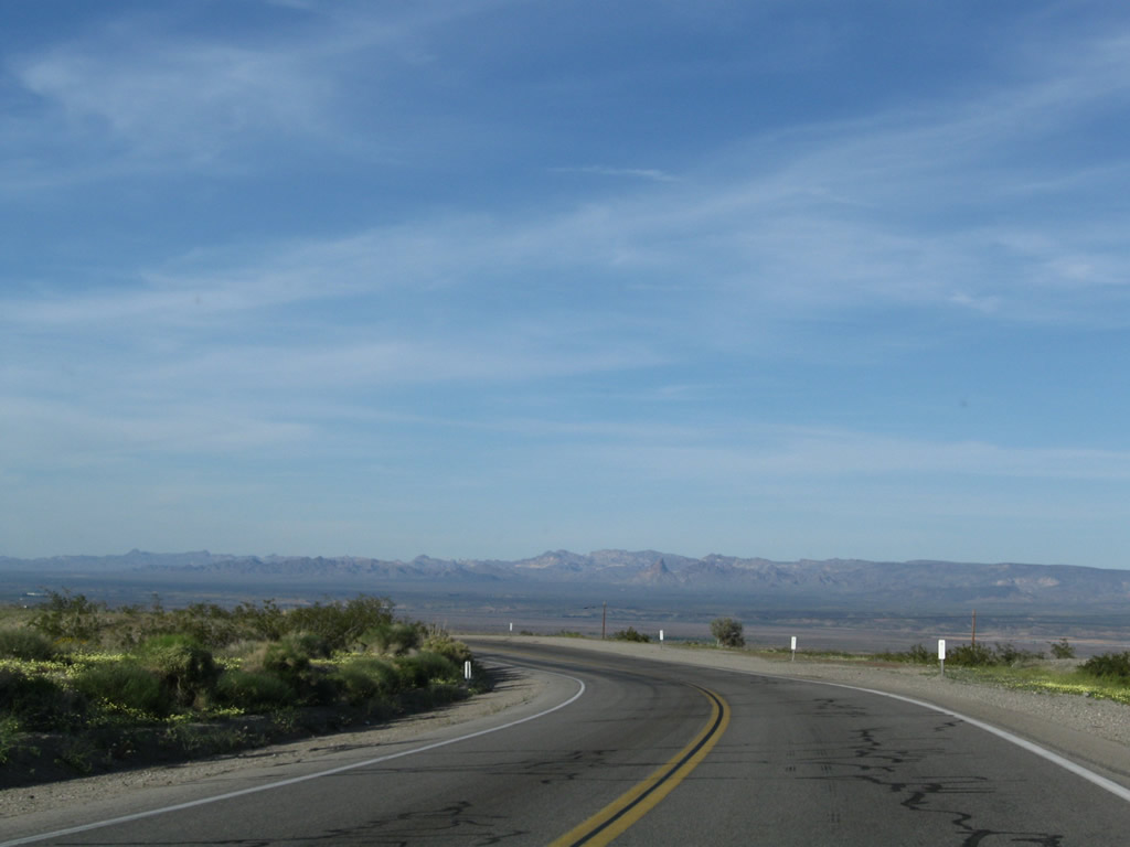
The Mopah Range appears in the distance along a fairly linear stretch leading U.S. 95 northwest out of Vidal Valley.
03/14/09
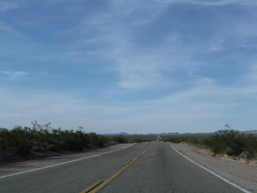
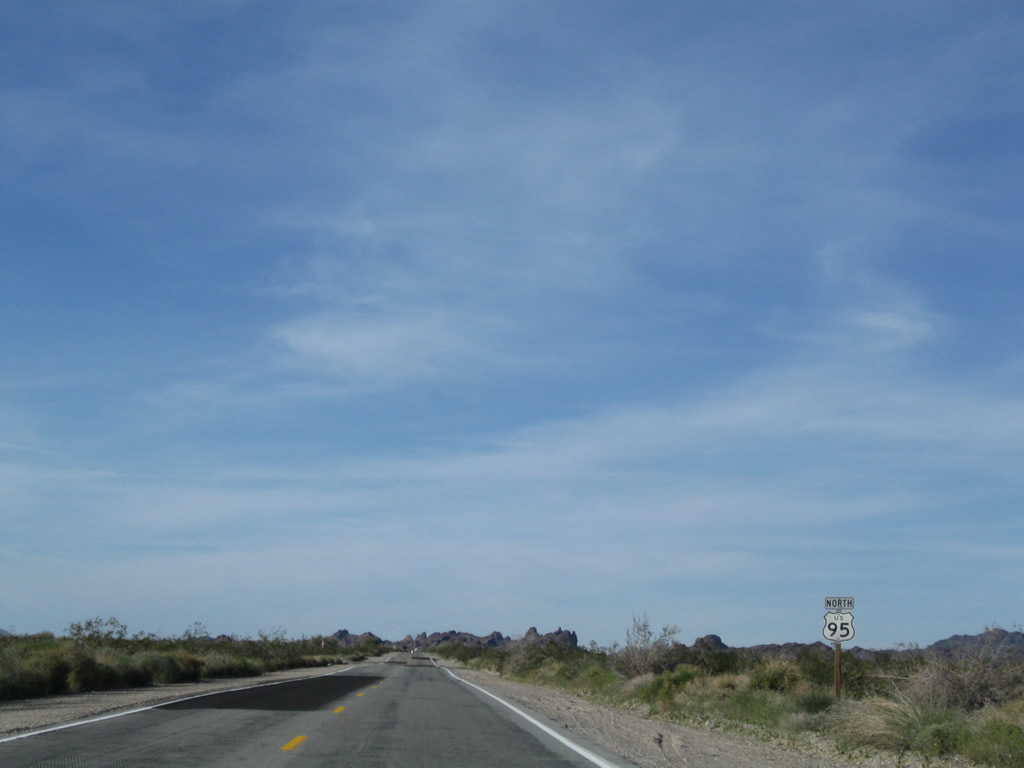
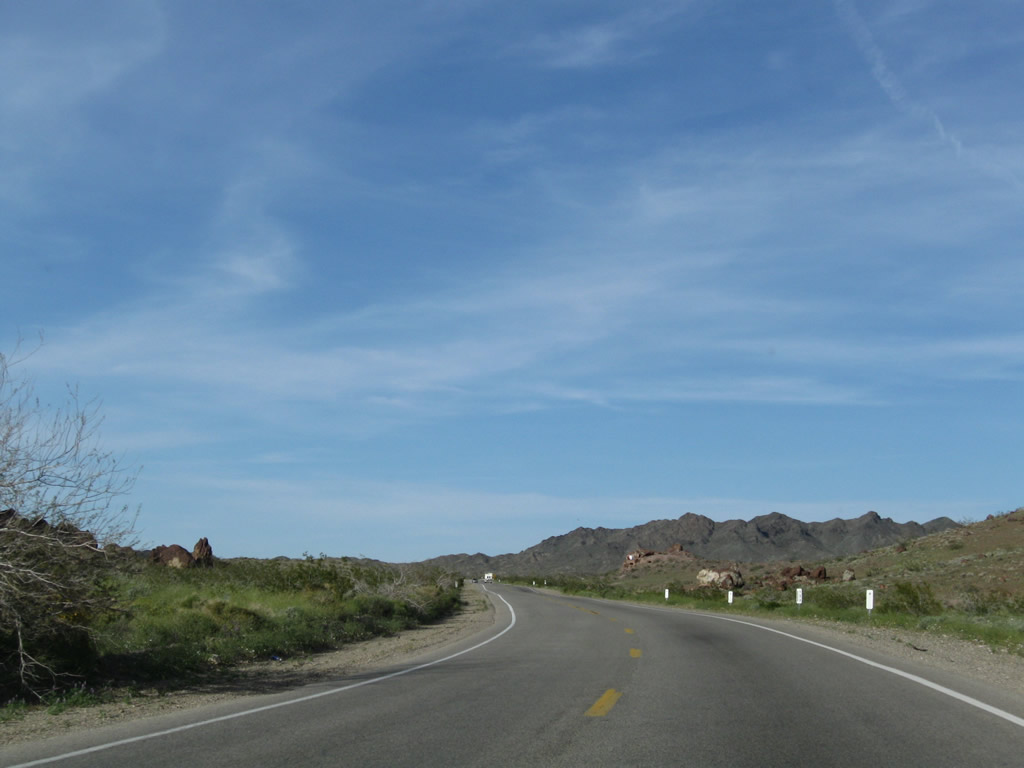
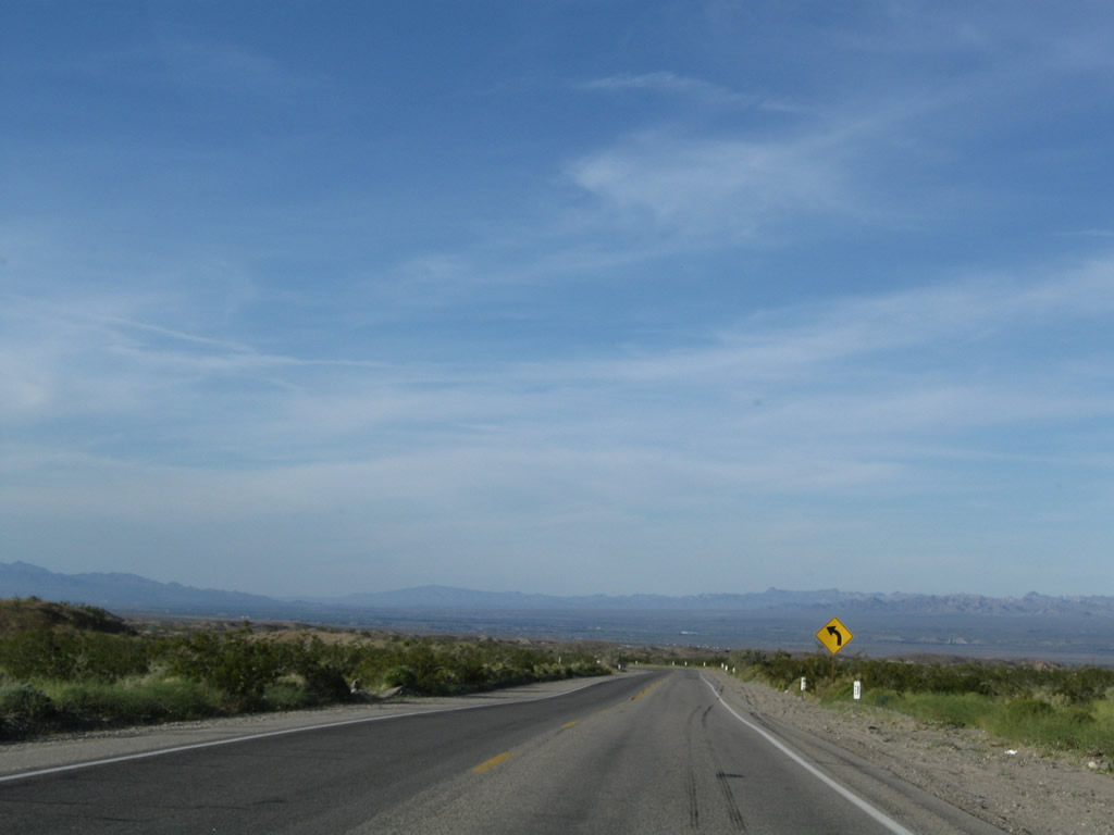
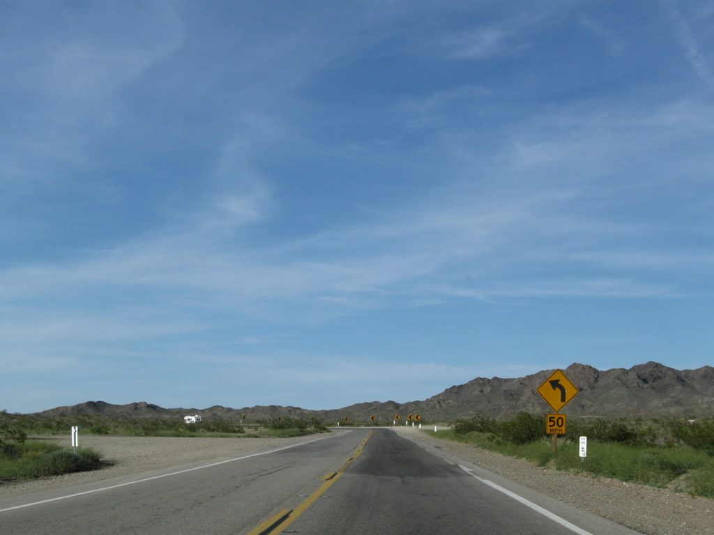
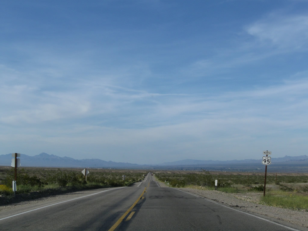
East of the Turtle Mountains, U.S. 95 turns northward at San Bernardino County post mile 15.10.
03/14/09
U.S. 95 gradually gains elevation north from 900 feet above sea level in Vidal Valley to 1,326 feet in elevation west of Pyramid Butte.
03/14/09
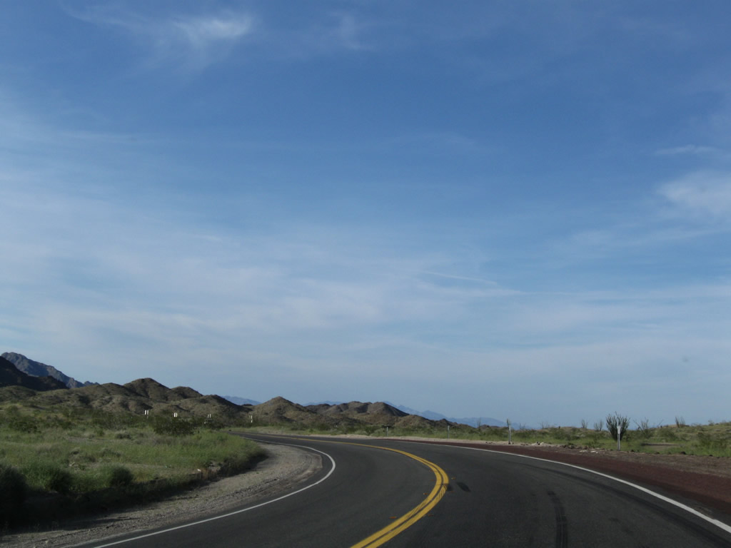
Passing by Pyramid Butte, U.S. 95 leaves Vidal Valley and enters Chemehuevi Valley.
03/14/09
The low point in Chemehuevi Valley is Chemehuevi Wash, and U.S. 95 ascends from there to Lobecks Pass (el. 1,520 feet). The Colorado River flows between 15 and 20 miles to the east.
03/14/09
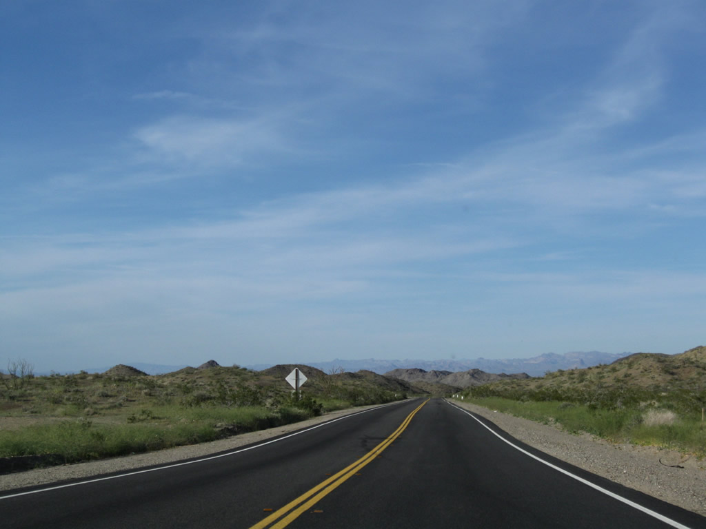
U.S. 95 crosses Chemehuevi Wash at post mile 29.00.
03/14/09
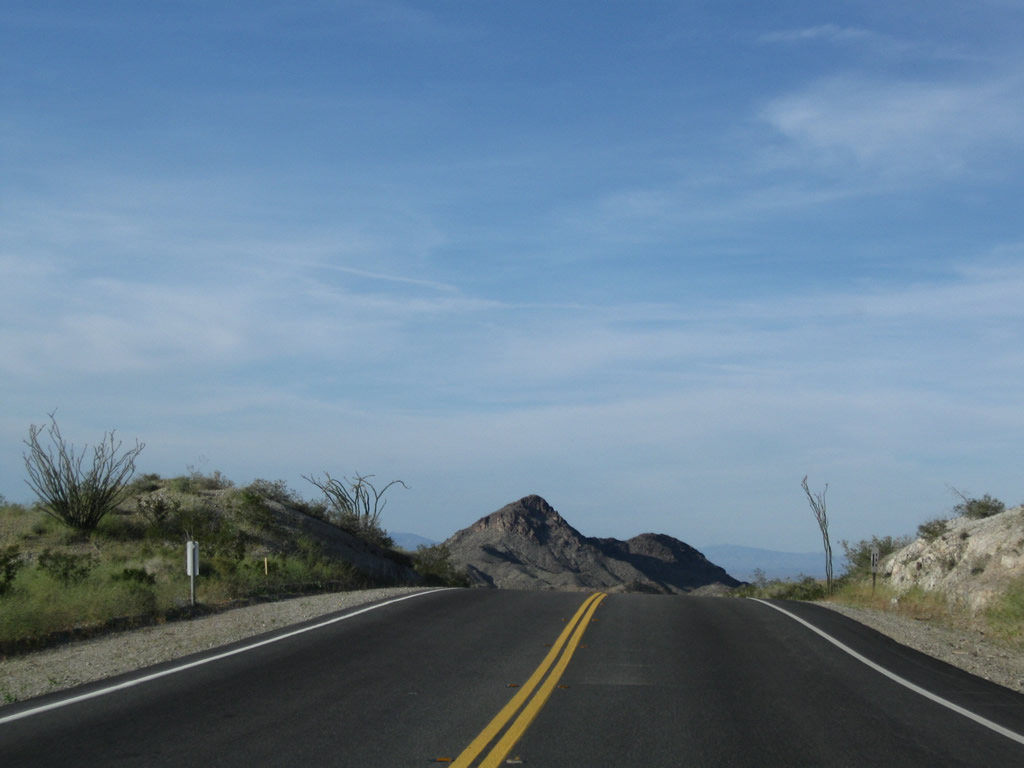
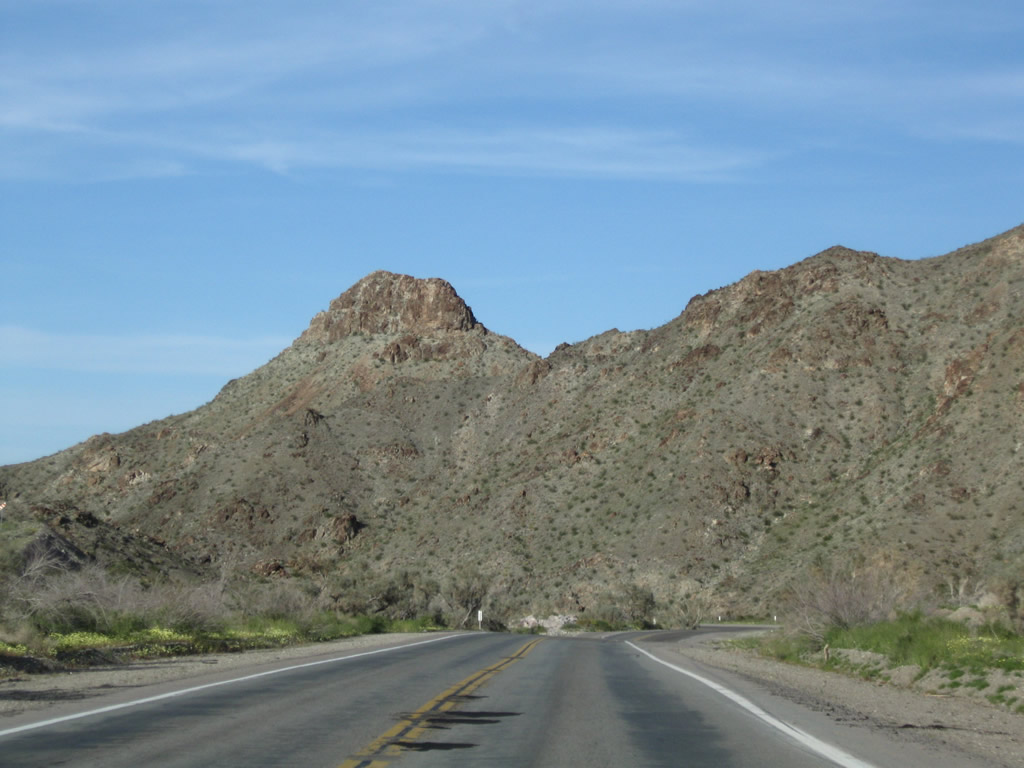
The Sawtooth Range and Snaggletooth (el. 2,180 feet) rise above the Chemehuevi Valley on the slow rise to Lobecks Pass.
03/14/09
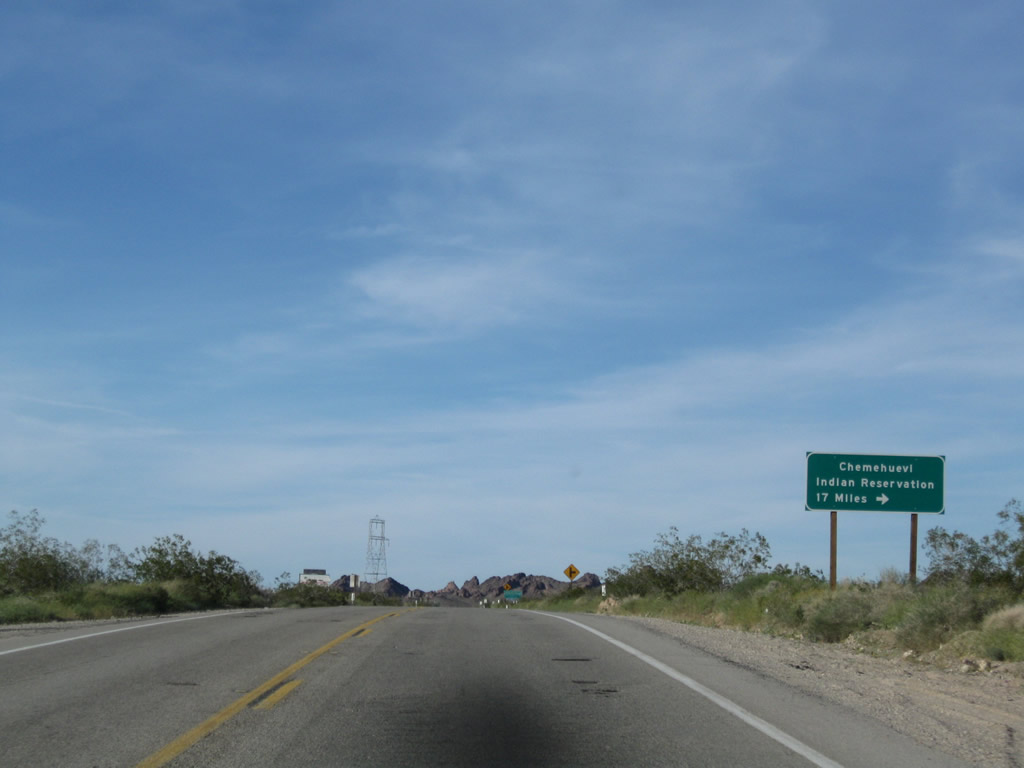
Havasu Lake Road angles southeast east to the Chemehuevi Valley Indian Reservation located along the Colorado River at Lake Havasu. Waters at Lake Havasu area impounded along the Colorado River by Parker Dam.
03/14/09
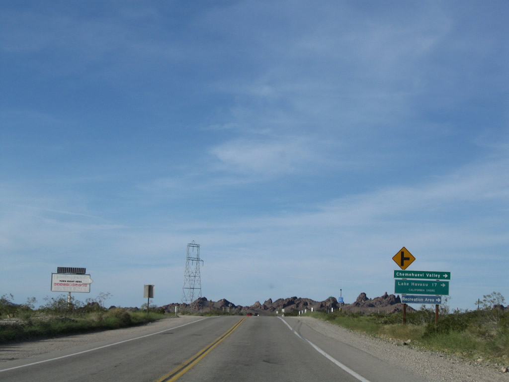
Although Havasu Lake Road extends east to Havasu Lake on the west bank of Lake Havasu, there is no land access to Lake Havasu City, Arizona. Boaters may access the water from the California side at Havasu Lake. London Bridge in Arizonan connects the Arizona shore with an island in the lake, but it does not extend all the way into California.
03/14/09
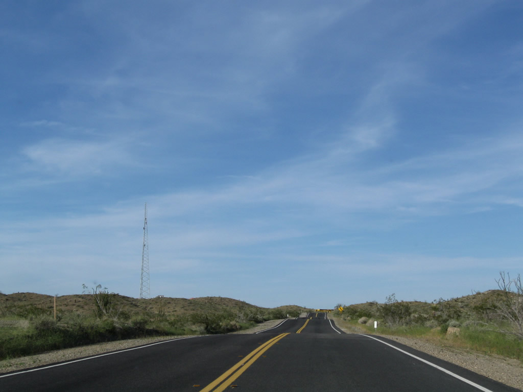
A high-voltage power transmission line crosses U.S. 95; it runs southeast to Parker Dam and carries electricity toward Los Angeles. This same power line crosses Interstate 40 at the Water Road interchange (Exit 120).
03/14/09
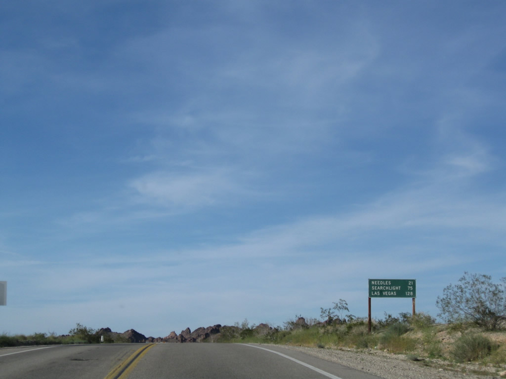
21 miles remain to Needles along U.S. 95 north from Havasu Lake Road.
03/14/09
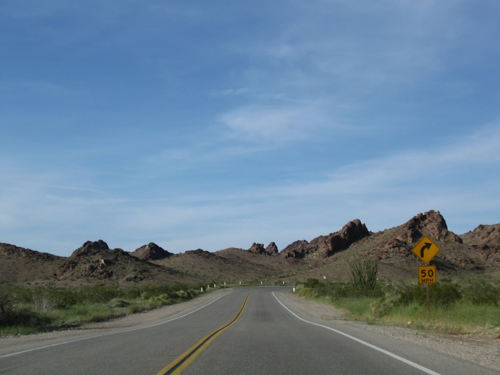
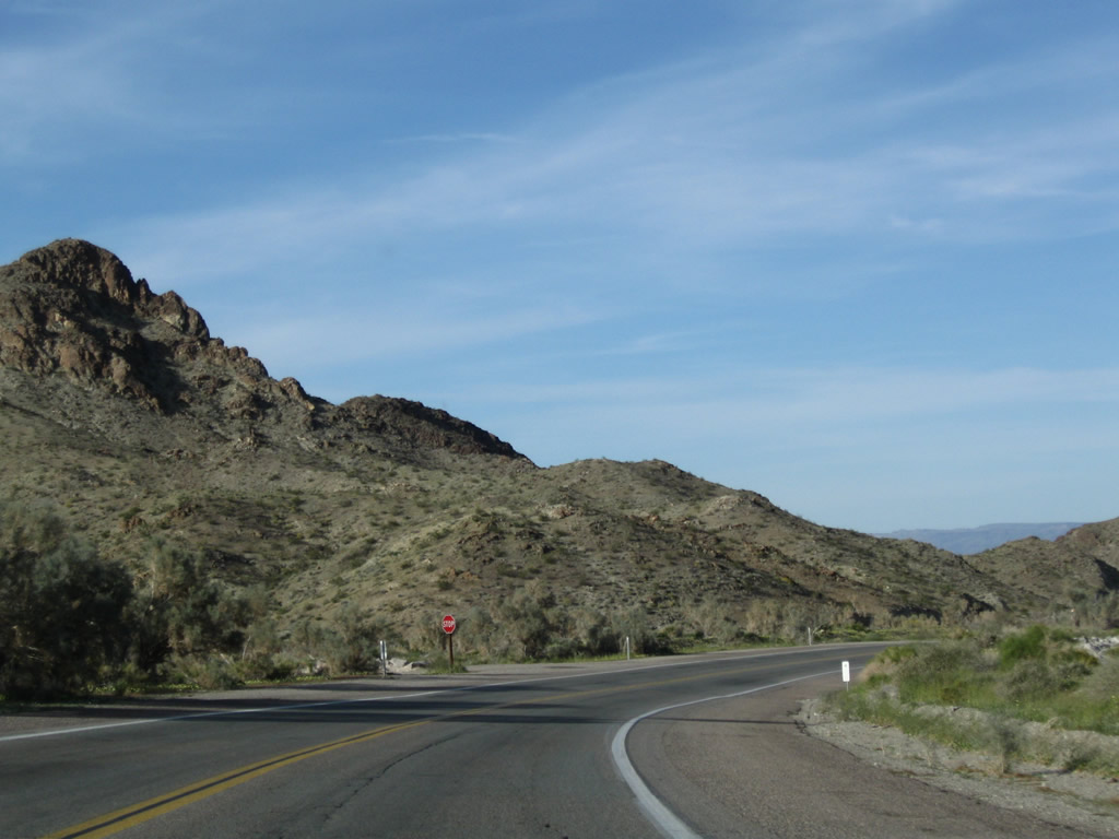
Continuing to ascend toward Lobecks Pass, U.S. 95 shifts northeast to pass through the Sawtooth Range.
03/14/09
A missing U.S. 95 reassurance shield is located near Snaggletooth in the Sawtooth Range.
03/14/09
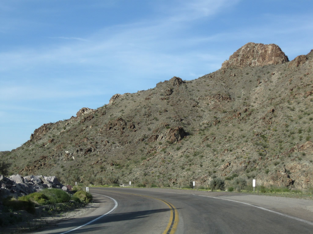
U.S. 95 passes through the Sawtooth Range between the Chemehuevi Valley and Lobecks Pass. Mountain scenery replaces desert valley solitude along northbound.
03/14/09
U.S. 95 crosses Lobecks Pass between the Sacramento Mountains and Chemehuevi Mountains.
03/14/09
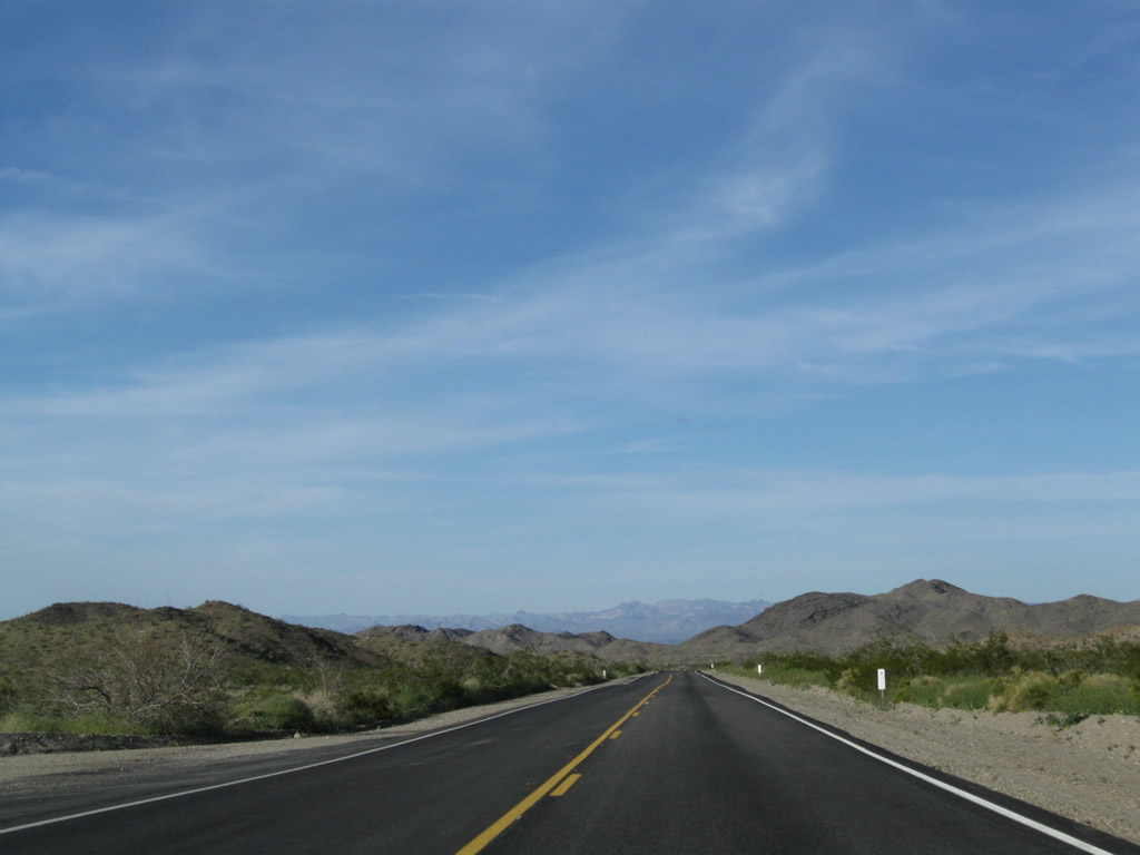
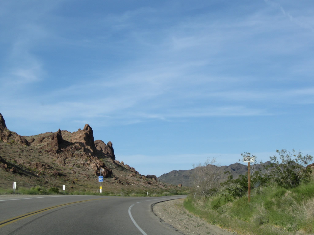
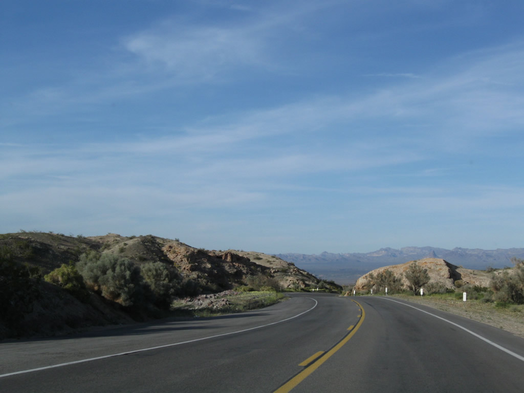
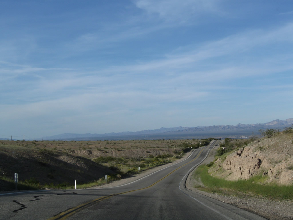
Continiuing between the Chemehuevi Mountains and Sacramento Mountains, U.S. 95 gradually descends toward the Mohave Valley and Needles.
03/14/09
Continiuing between the Chemehuevi Mountains and Sacramento Mountains, U.S. 95 gradually lowers toward the Mohave Valley and Needles.
03/14/09
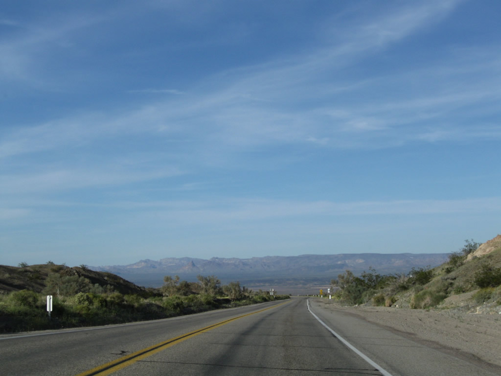
The Colorado River and Arizona's Mohave Valley come into view on the descent from the Sacramention Mountains.
03/14/09
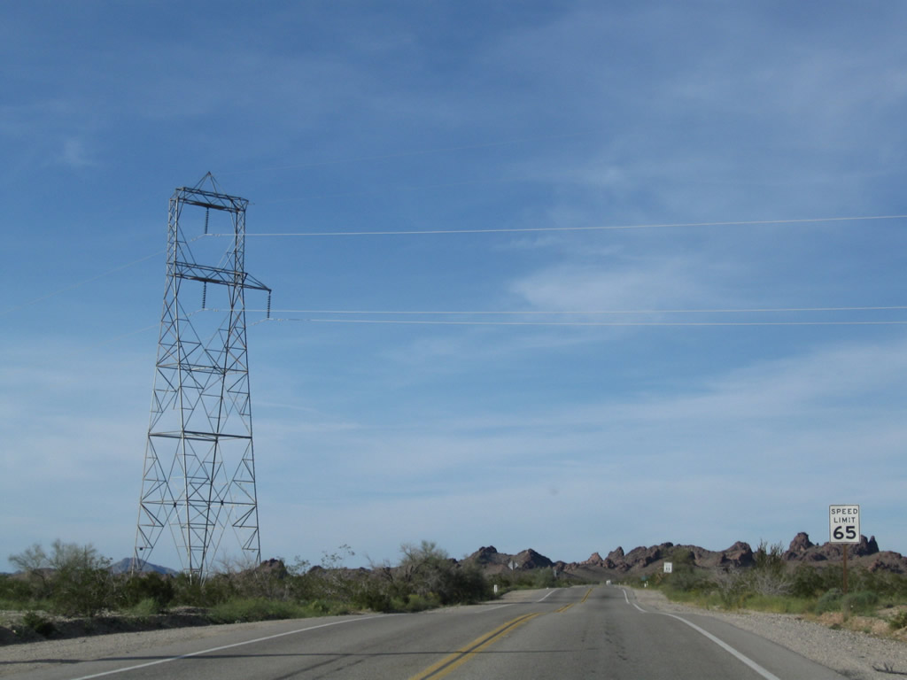
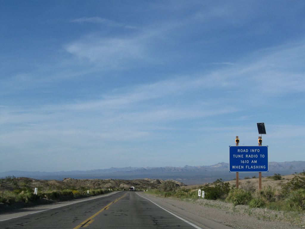
The reassurance marker for U.S. 95 north posted at post mile 50.60 was removed by 2024. The speed limit decreases to 55 miles per hour north at post mile 51.00.
03/14/09
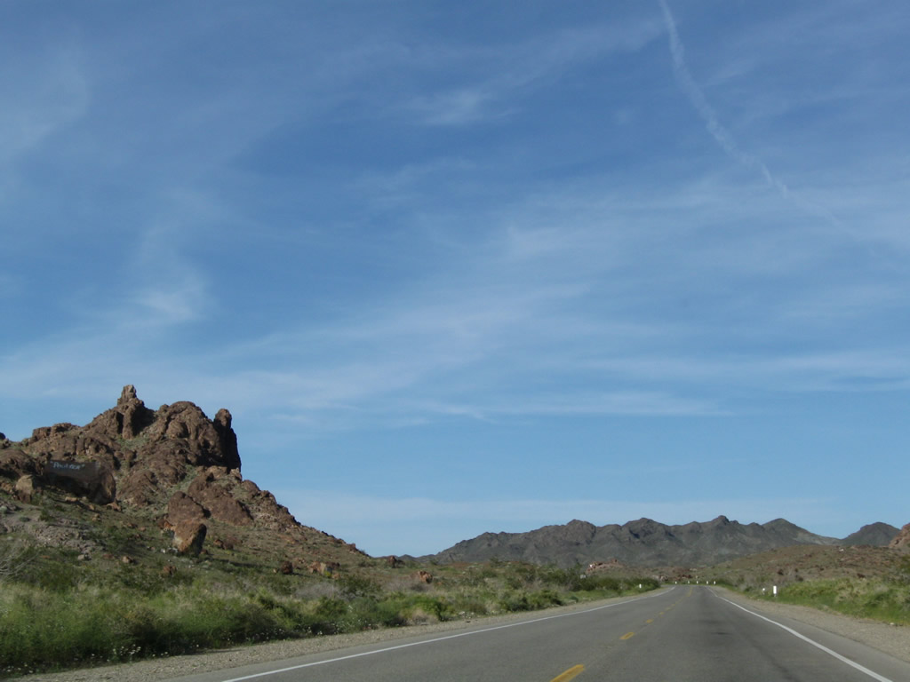
U.S. 95 drops below 900 feet in elevation across a series of hills south of Parker Junction.
03/14/09
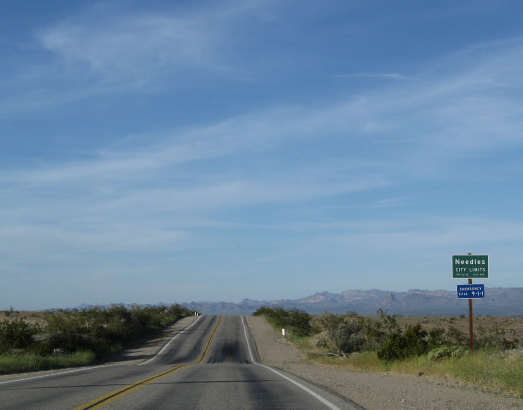
U.S. 95 enters the city of Needles in a sparsely populated area east of Needles Airport (EED). For travelers coming north on U.S. 95, Needles is the first incorporated city since leaving Blythe.
03/14/09
Five Mile Road (Historic U.S. 66) converges with U.S. 95 northwest from Interstate 40 at Parker Junction.
03/14/09
Historic U.S. 66 follows I-40 east to Park Moabi and Topock, Arizona. U.S. 95 and Historic U.S. 66 overlap north from Parker Junction into Needles.
03/14/09
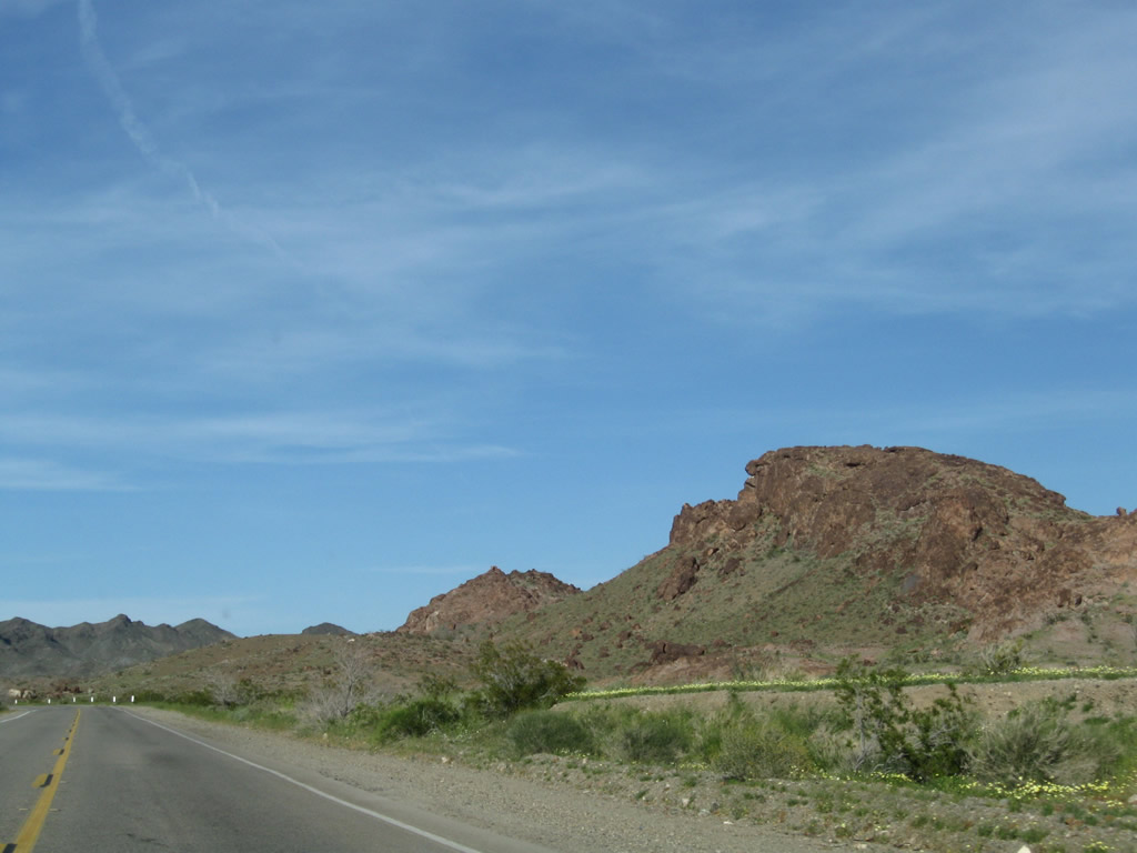
The Dead Mountains spread along the northern horizon as U.S. 95 lowers from Parker Junction to Airport Road east of Needles Airport (EED).
03/14/09
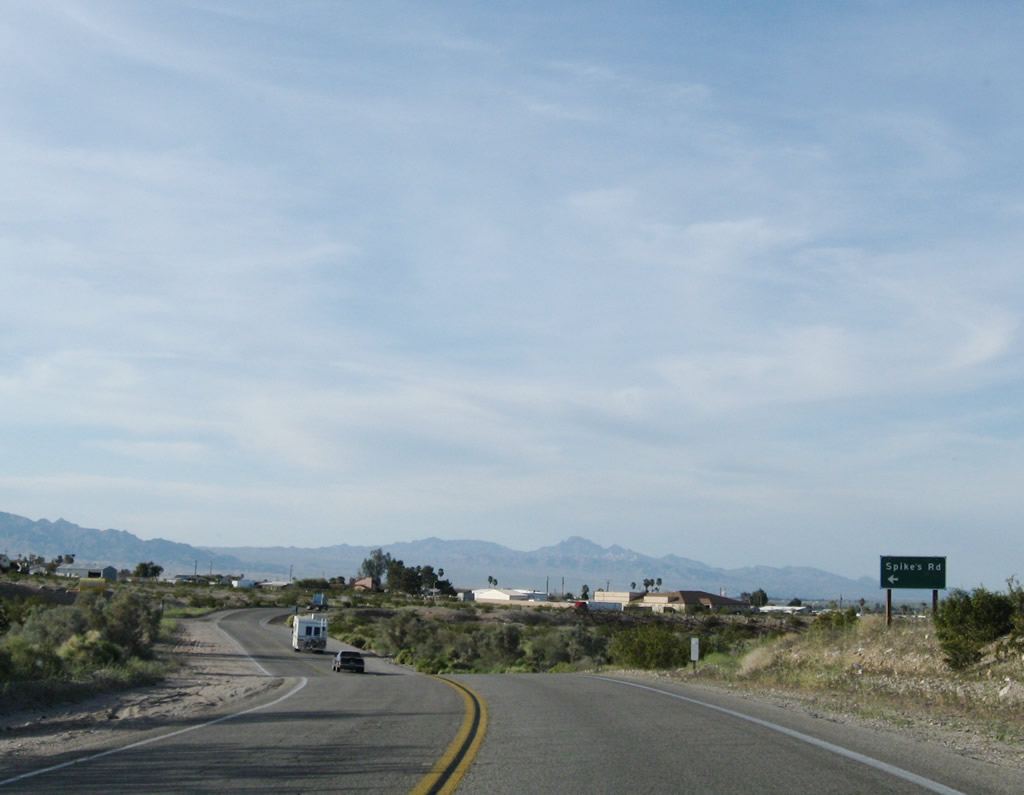
U.S. 95/Historic U.S. 66 north reach residential areas of Needles at Spikes Road west.
03/14/09
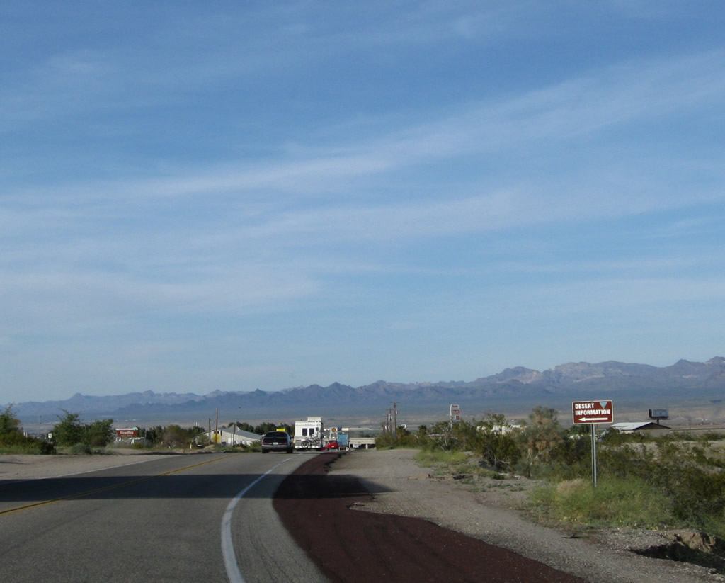
The Mojave Desert Information Center, which features maps, hiking suggestions, and attractions, is located on the west side of U.S. 95 off Victory Drive.
03/14/09
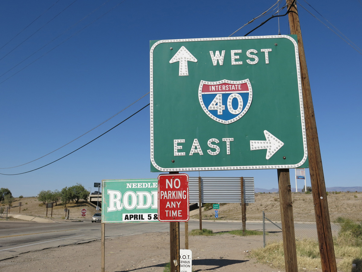
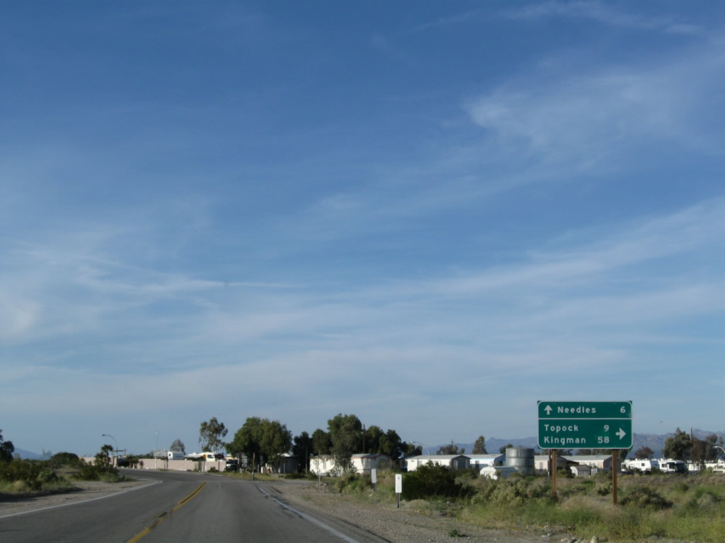
U.S. 95/Historic U.S. 66 (Broadway Avenue) enter a diamond interchange (Exit 144) with Interstate 40 north of San Clemente Street.
03/24/13
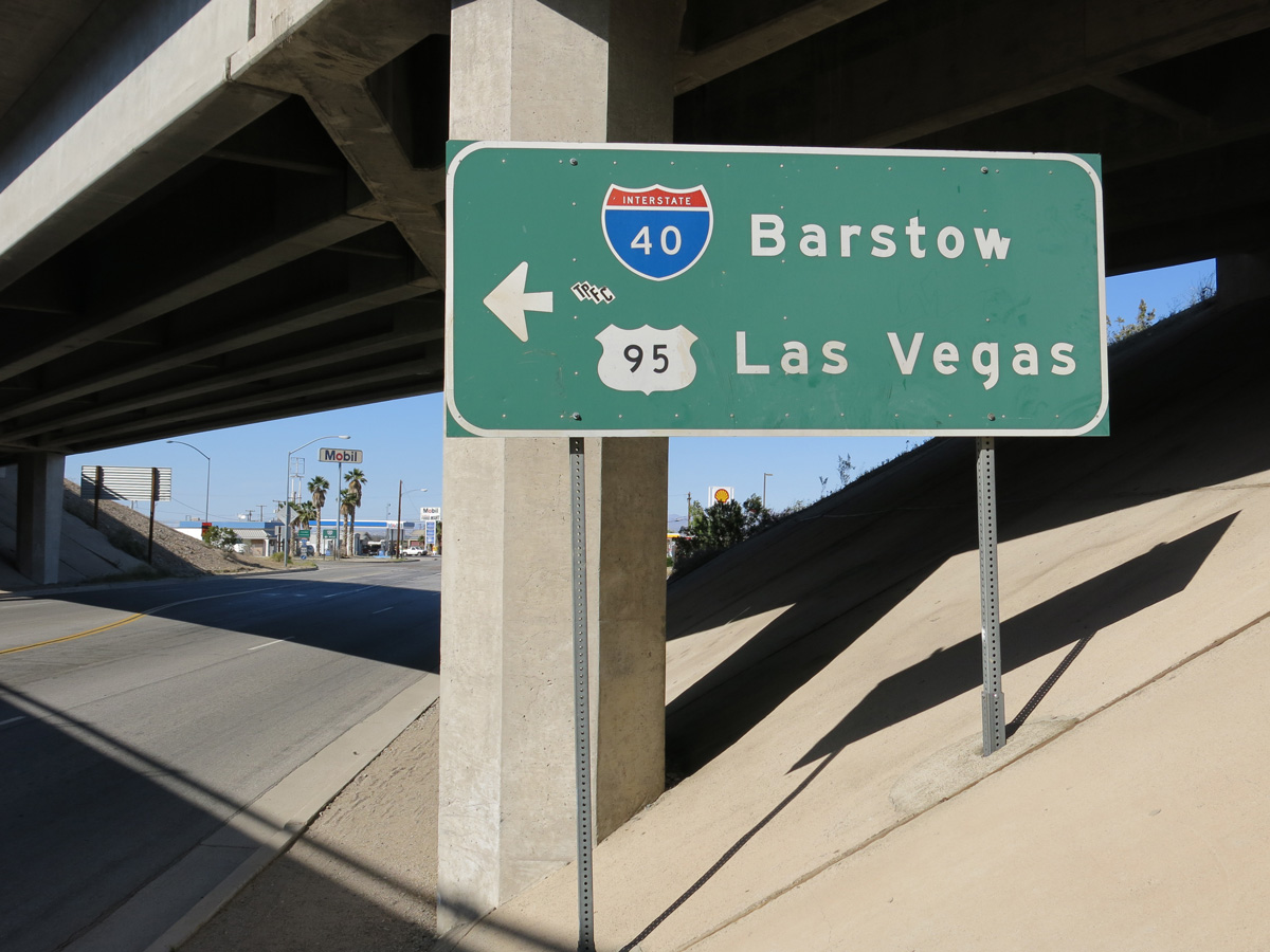
Interstate 40 follows the Colorado River southeast from Needles to cross the state line at Topock, Arizona. I-40 curves northeast around the Black Mountains from there to Kingman.
03/24/13
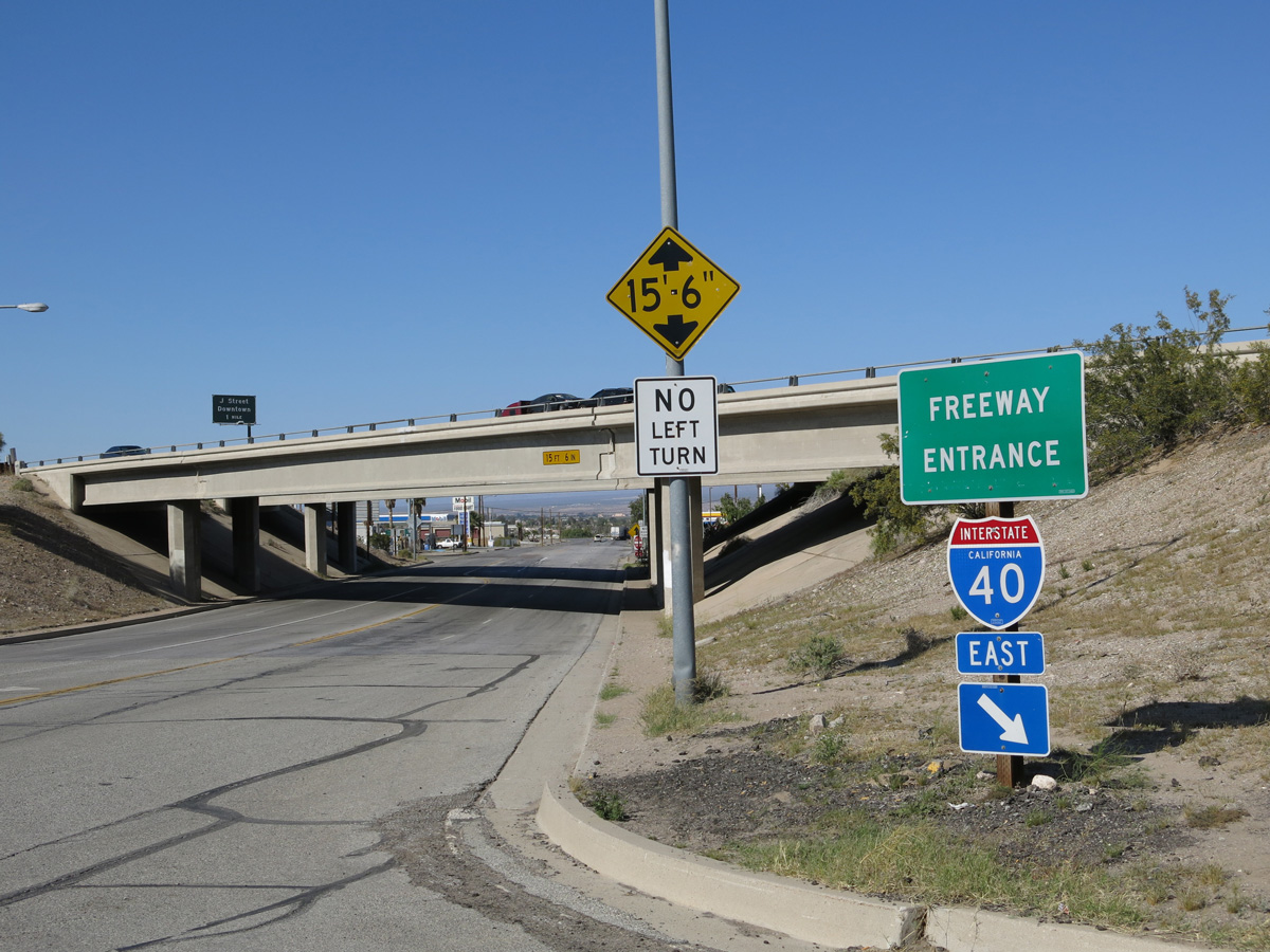
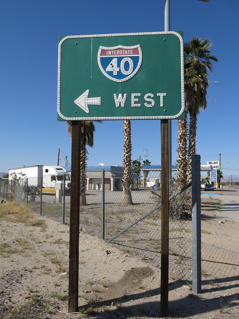
Bypassing central Needles, U.S. 95 combines with Interstate 40 west for 11 miles.
03/24/13
Interstate 40 traverses Fenner Valley and the Bristol Mountains among other sparsely populated desert areas west from Needles to I-15 at Barstow.
03/24/13

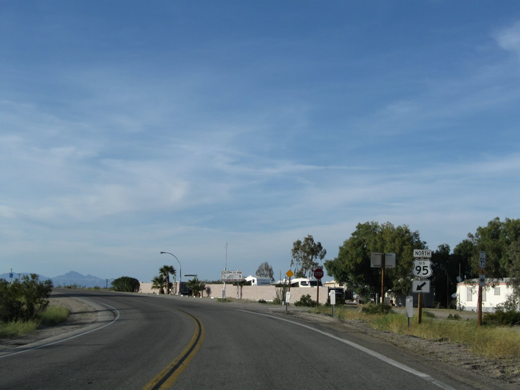
U.S. 95 branches north from I-40 west of Java through the Piute Valley to Searchlight, Nevada.
03/24/13
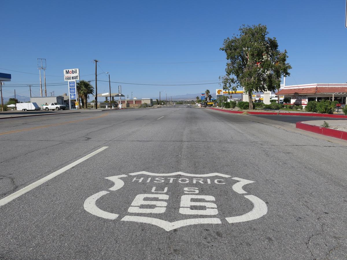
Historic U.S. 66 continues north along Broadway Street (old U.S. 95) alongside Business Loop I-40 and County Route 66 toward Downtown Needles.
03/24/13
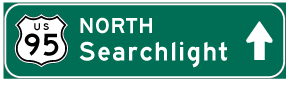
Photo Credits:
- Andy Field: 03/14/09, 03/24/13
Connect with:
Page Updated Tuesday August 05, 2025.