
U.S. 95 South - Scottys Junction to Beatty
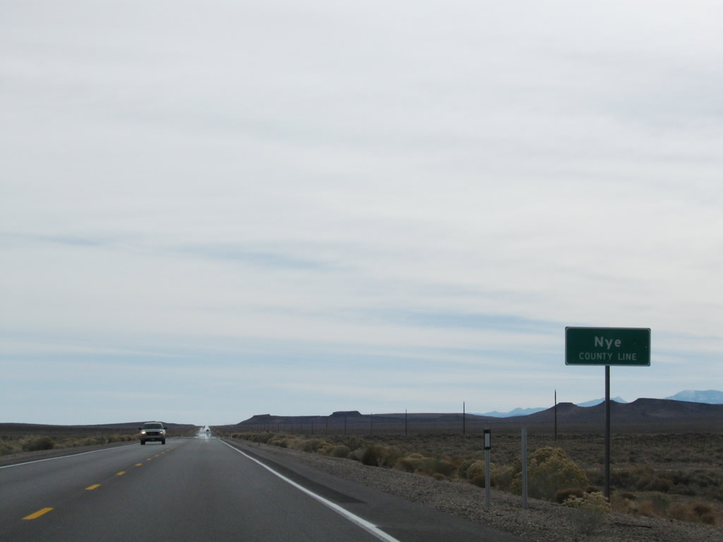
U.S. 95 (Veterans Memorial Highway) continues south across Lida Valley back into Nye County. The route previously passed through Nye County at Tonopah.
11/11/08
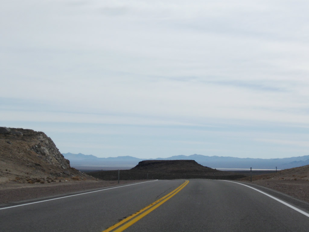
U.S. 95 ascends out of the Lida Valley across Stonewall Pass.
11/11/08

U.S. 95 navigates through an S-curve southeast from Stonewall Pass onto Sarcobatus Flat.
11/11/08

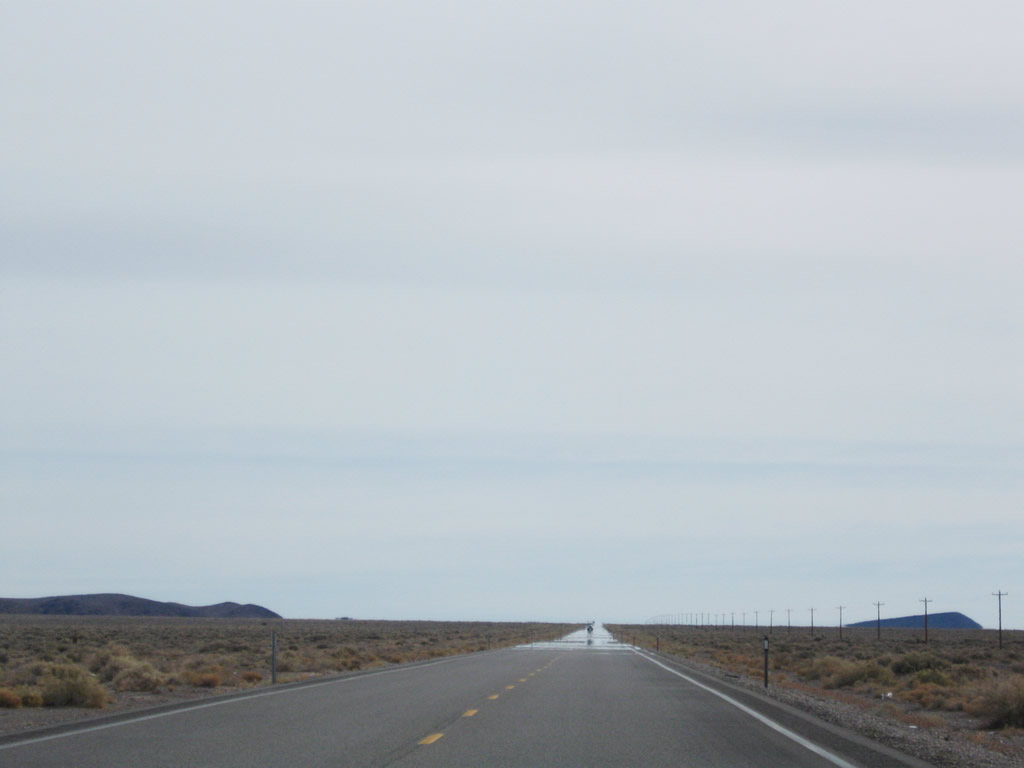
A long straight away takes U.S. 95 across Sarcobatus Flat to Scotts Junction.
11/11/08
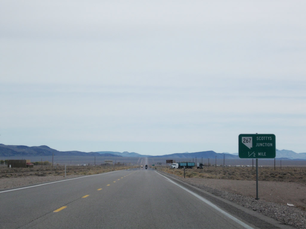
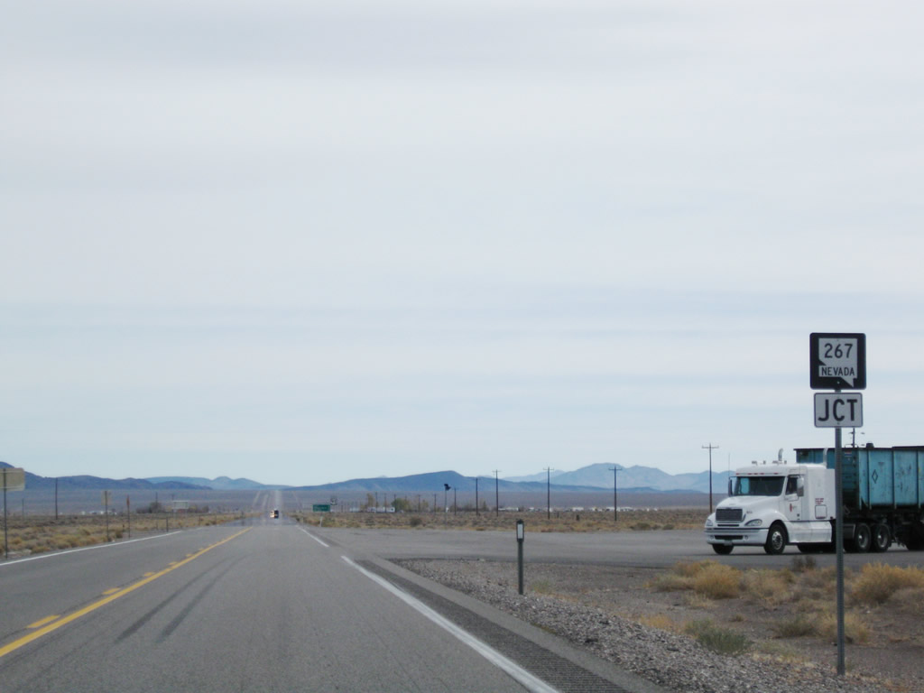
The north end of SR 267 (Scotty's Castle Road) ties into U.S. 95 at Scottys Junction.
11/11/08
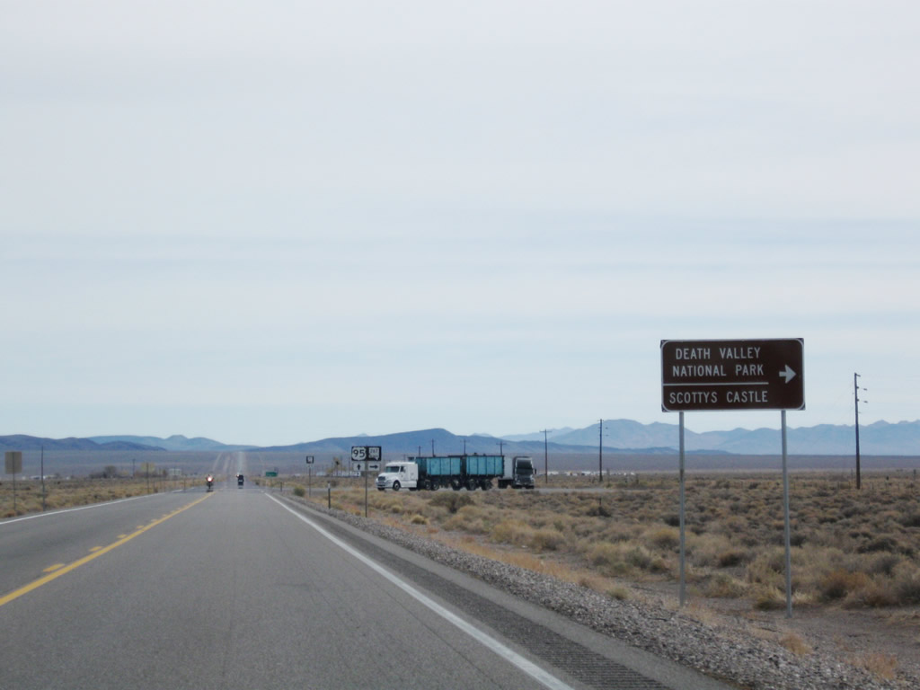
Scotty's Castle Road extends from the Nevada state line to Scotty's Castle and Death Valley National Park in California. Scotty's Castle is 26 miles to the southwest.
11/11/08
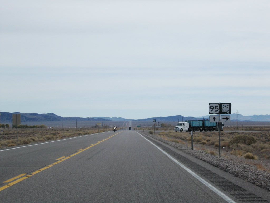
SR 267 lines Scotty's Castle Road 12.06 miles to the state line. The National Park Service maintains the remainder of Scotty's Castle Road in California.
11/11/08
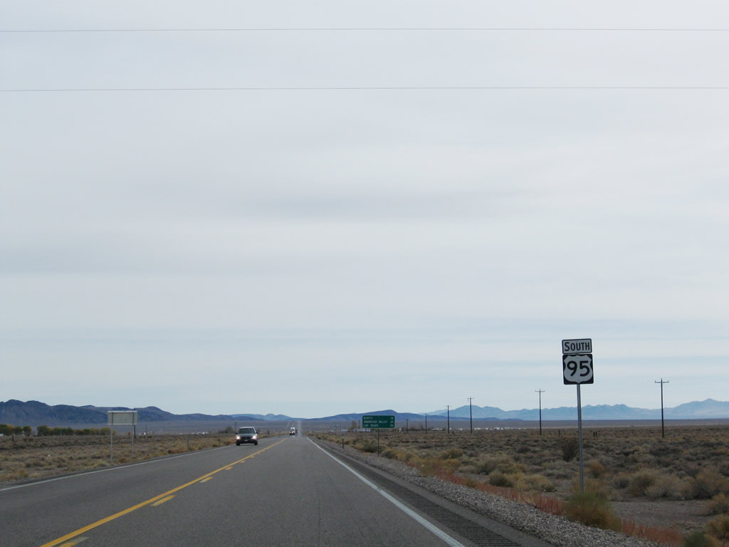
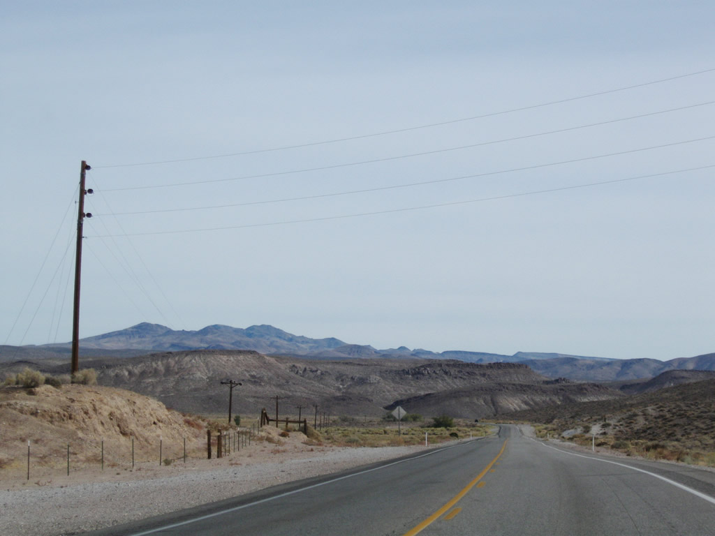
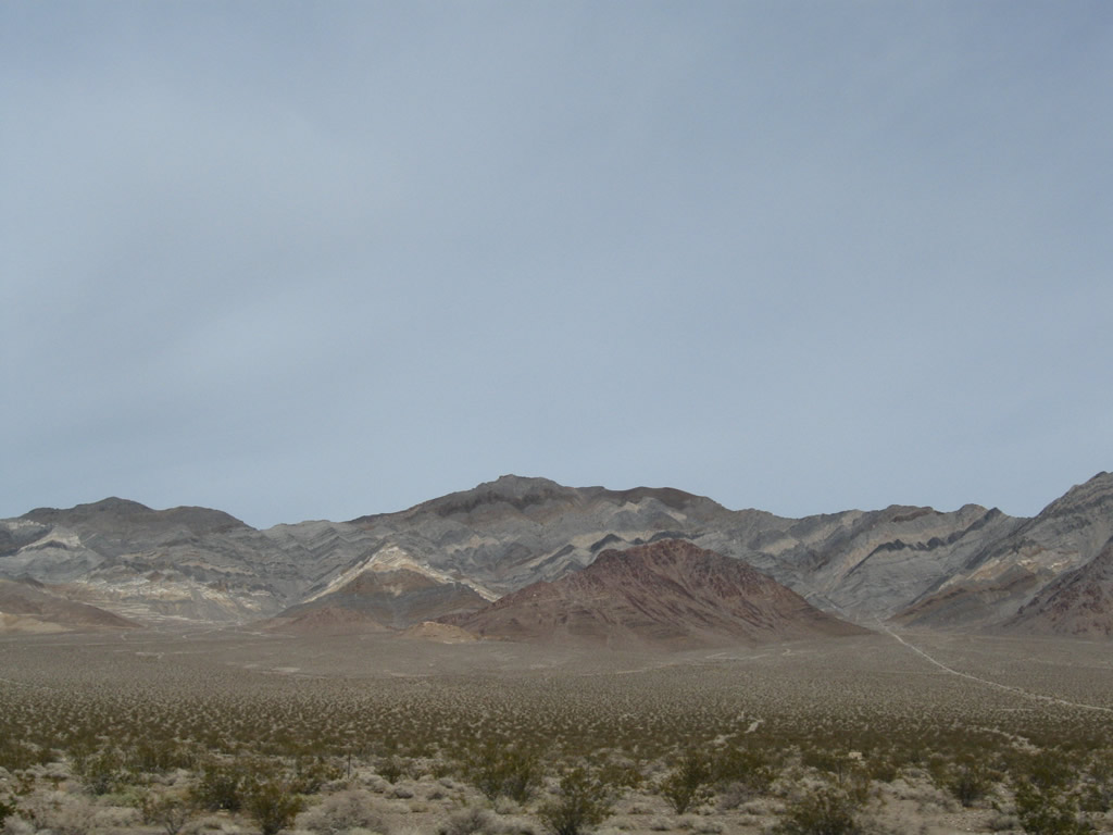
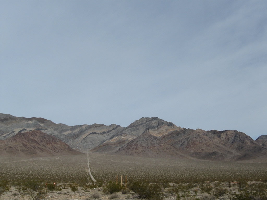
U.S. 95 bee lines southeast across Sarcobatus Flat toward Coba Mountain.
11/11/08
U.S. 95 shifts southeast ahead of Coba Mountain.
11/11/08
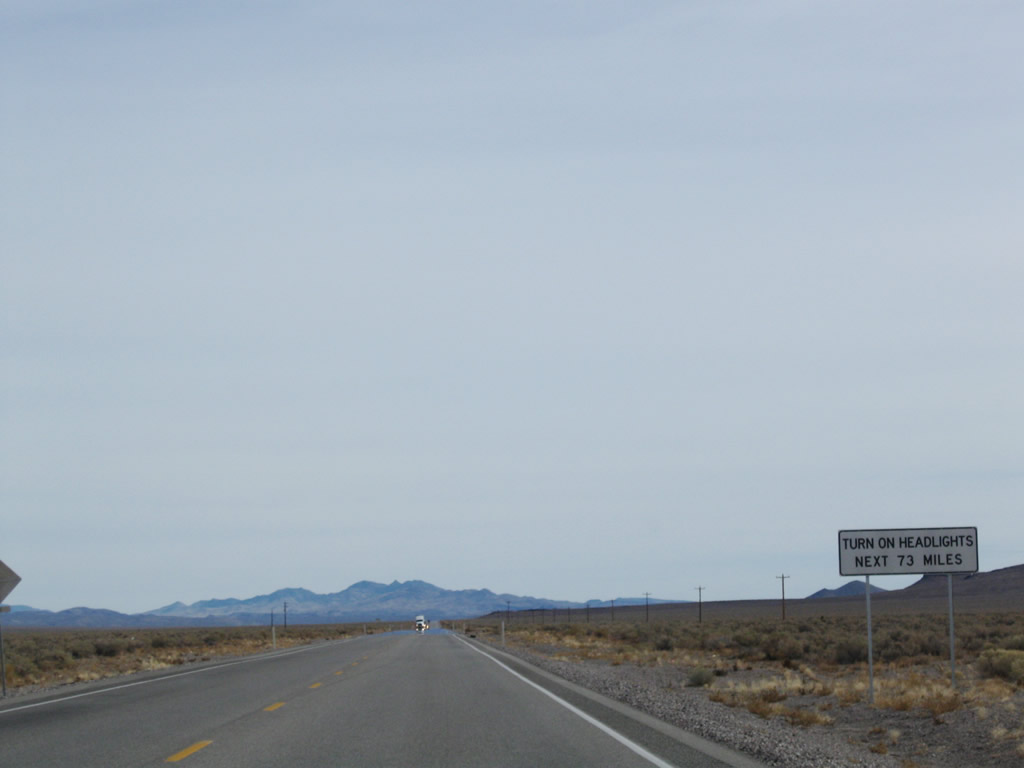
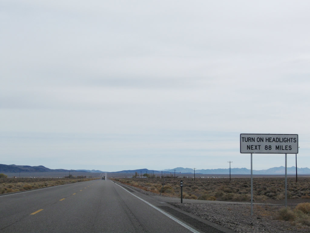
Another head light requirement sign stands just south of a military access road intersecting U.S. 95 near Nye County milepost 79.
11/11/08
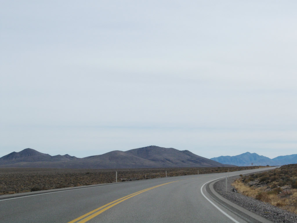
U.S. 95 curves south around Springdale Mountain from Nye County milepost 76.
11/11/08
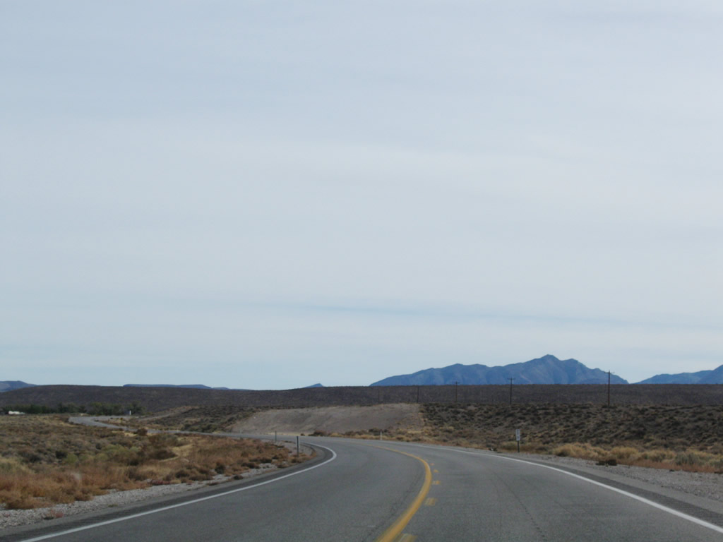
U.S. 95 (Veterans Memorial Highway) enters the Oasis Valley south ahead of the settlement of Springdale.
11/11/08
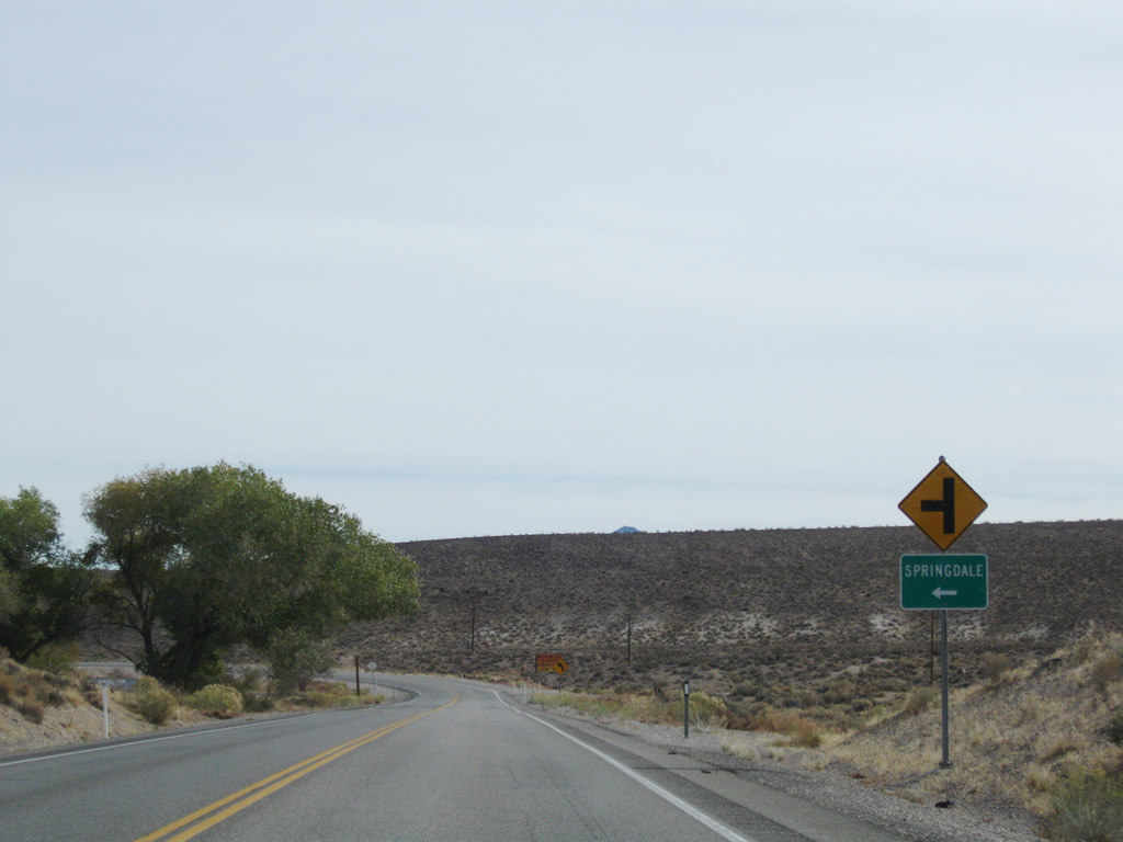
Springdale is located along U.S. 95 at Nye County milepost 70.
11/11/08
U.S. 95 runs along the west side of the Oasis Valley adjacent to the Bullfrog Hills.
11/11/08
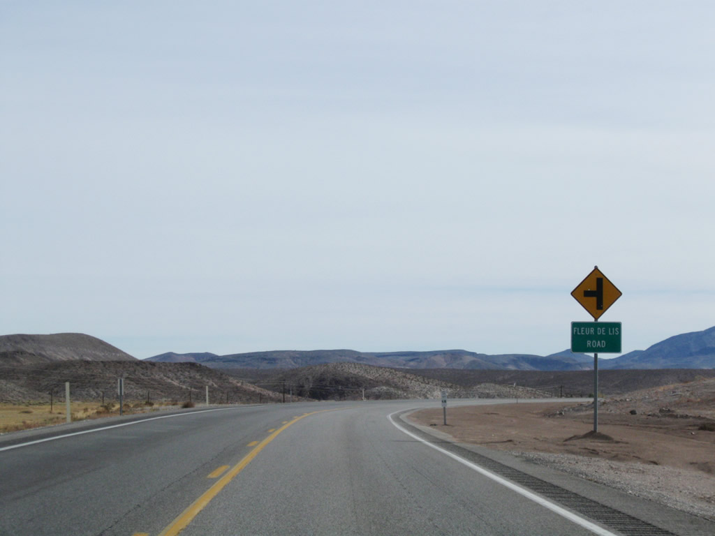
Fleur de lis Road spurs into the northeastern reaches of the Oasis Valley.
11/11/08
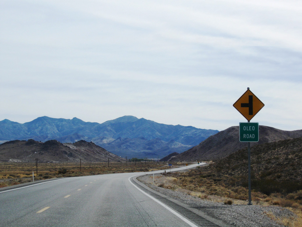
Oleo Road stems east across the parallel Amaragosa River.
11/11/08
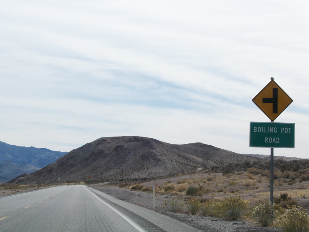
Boiling Pot Road leads east toward Goss Springs.
11/11/08
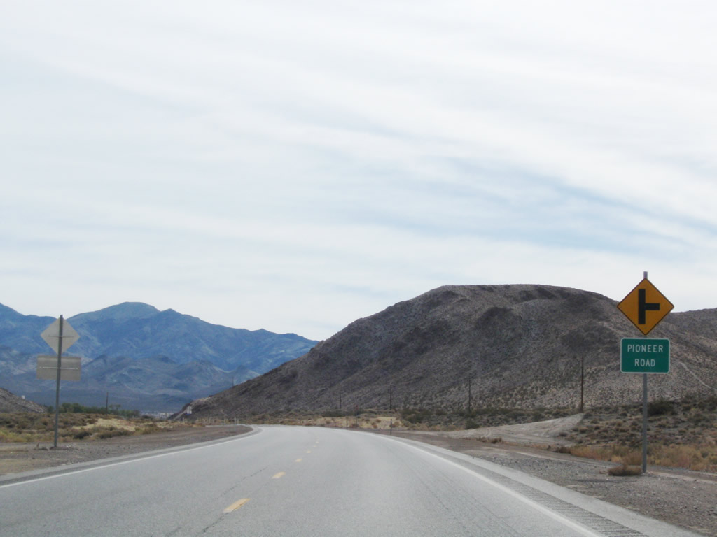
Pioneer Road climbs west into the Bullfrog Hills toward Crystal Springs.
11/11/08
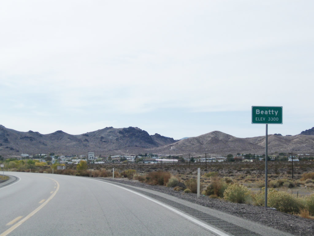
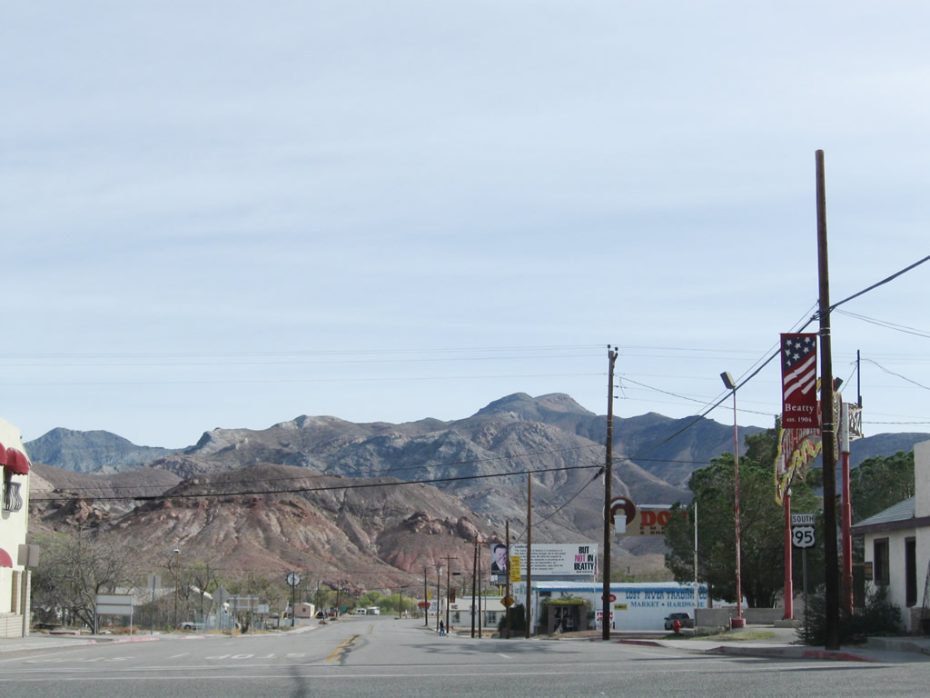
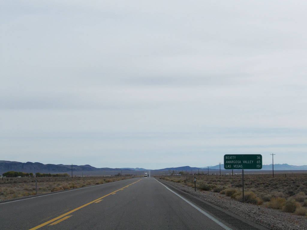
Turning southwest, U.S. 95 continues through the Oasis Valley along the Amargosa River to the unincorporated town of Beatty. A former mining town, Beatty is the Gateway to Death Valley, with an economy fueled by tourism.
11/11/08

The speed limit along U.S. 95 south reduces to 25 miles per hour ahead of the StageCoach hotel & casino and Amargosa River.
11/11/08

U.S. 95 (Main Street) intersects the east end of SR 374 (Death Valley Road) at 2nd Street in the Beatty business district.
11/11/08
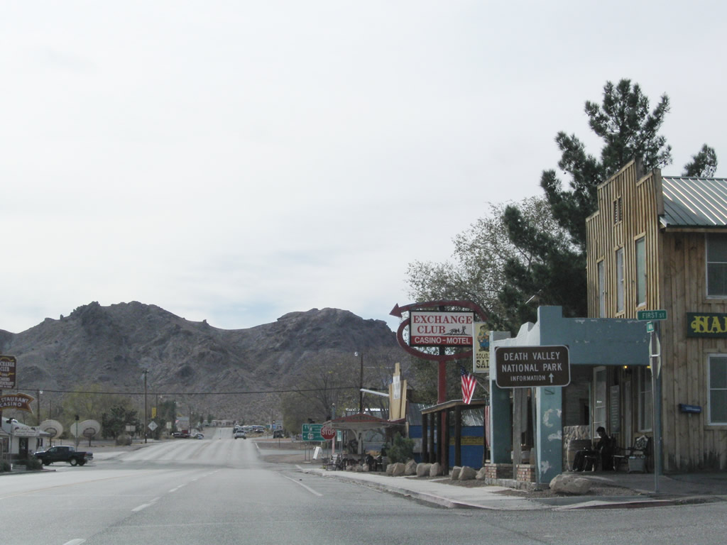
SR 374 runs 8.84 miles southwest to the boundary of Death Valley National Park.
11/11/08
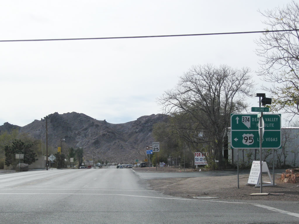
U.S. 95 turns southeast onto 2nd Street while Main Street continues southwest as SR 374 (Death Valley Road). SR 374 west to Rhyolite Road north leads to the ghost towns of Bullfrog and Rhyolite.
11/11/08
Confirming marker for U.S. 95 along 2nd Street south of SR 374 (Main Street).
11/11/08
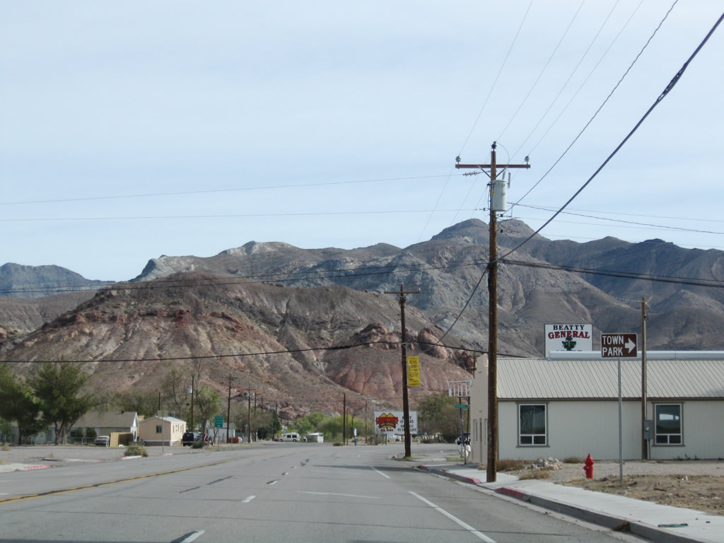
McDonald Street intersects U.S. 95 (2nd Street) one block north of Cottonwood Park.
11/11/08

Downtown Las Vegas is 116 miles to the southeast of Beatty via U.S. 95 and Interstate 11. Distance signs on U.S. 95 reference the former alignment on Rancho Drive in Las Vegas, which is shorter than the overlap with I-11.
11/11/08
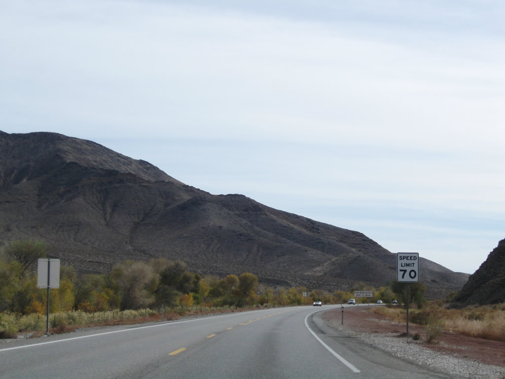
U.S. 95 (Veterans Memorial Highway) leaves Beatty south through the Amargosa Narrows west of Bare Mountain.
11/11/08
Curving southeast between the Amargosa Desert and Bare Mountain on U.S. 95 near Nye County milepost 54.
11/11/08
Bare Mountain and Wildcat Peak to the east of U.S. 95.
11/11/08
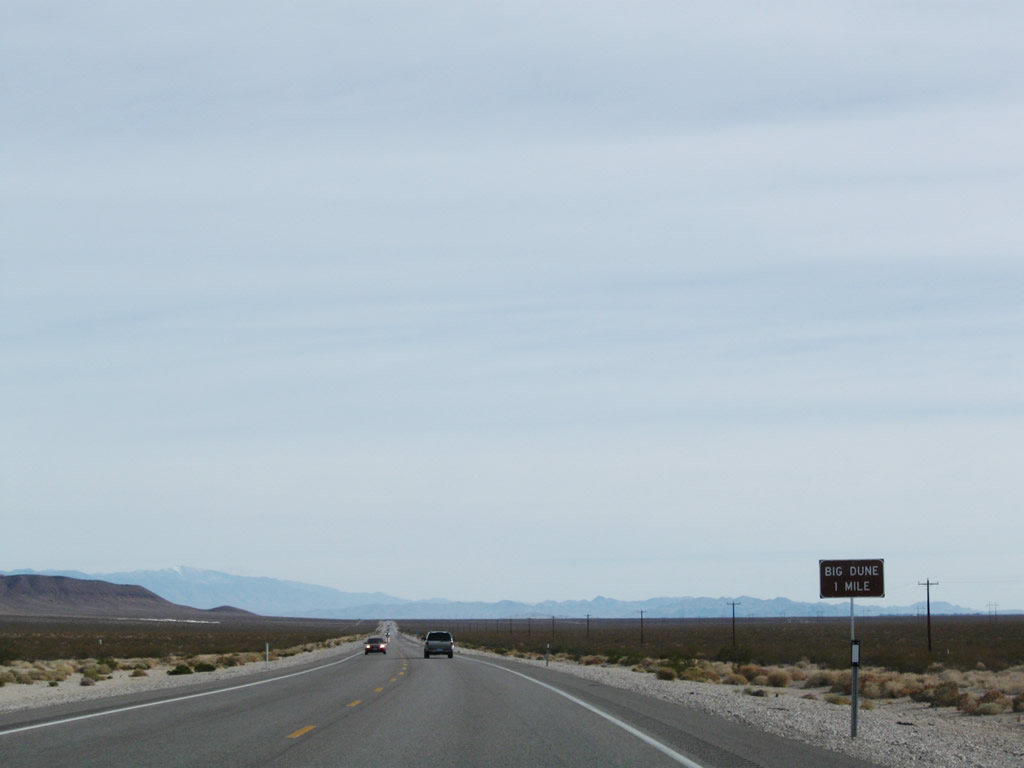
Valley View Boulevard runs 7.7 miles south from U.S. 95 past Big Dune Recreation Area to Amargosa Farm Road.
11/11/08
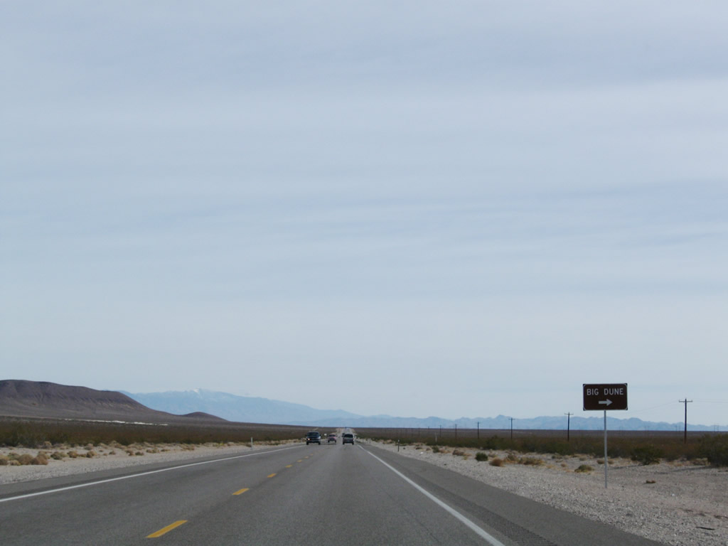
The sand dunes at Big Dune Recreation Area top out at an elevation of 2,731 feet above sea level, which is around 300 feet higher than the base elevation of 2,435 feet above sea level.
11/11/08
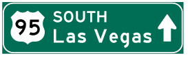
Photo Credits:
- AARoads: 11/11/08
Connect with:
Page Updated Monday February 15, 2010.