
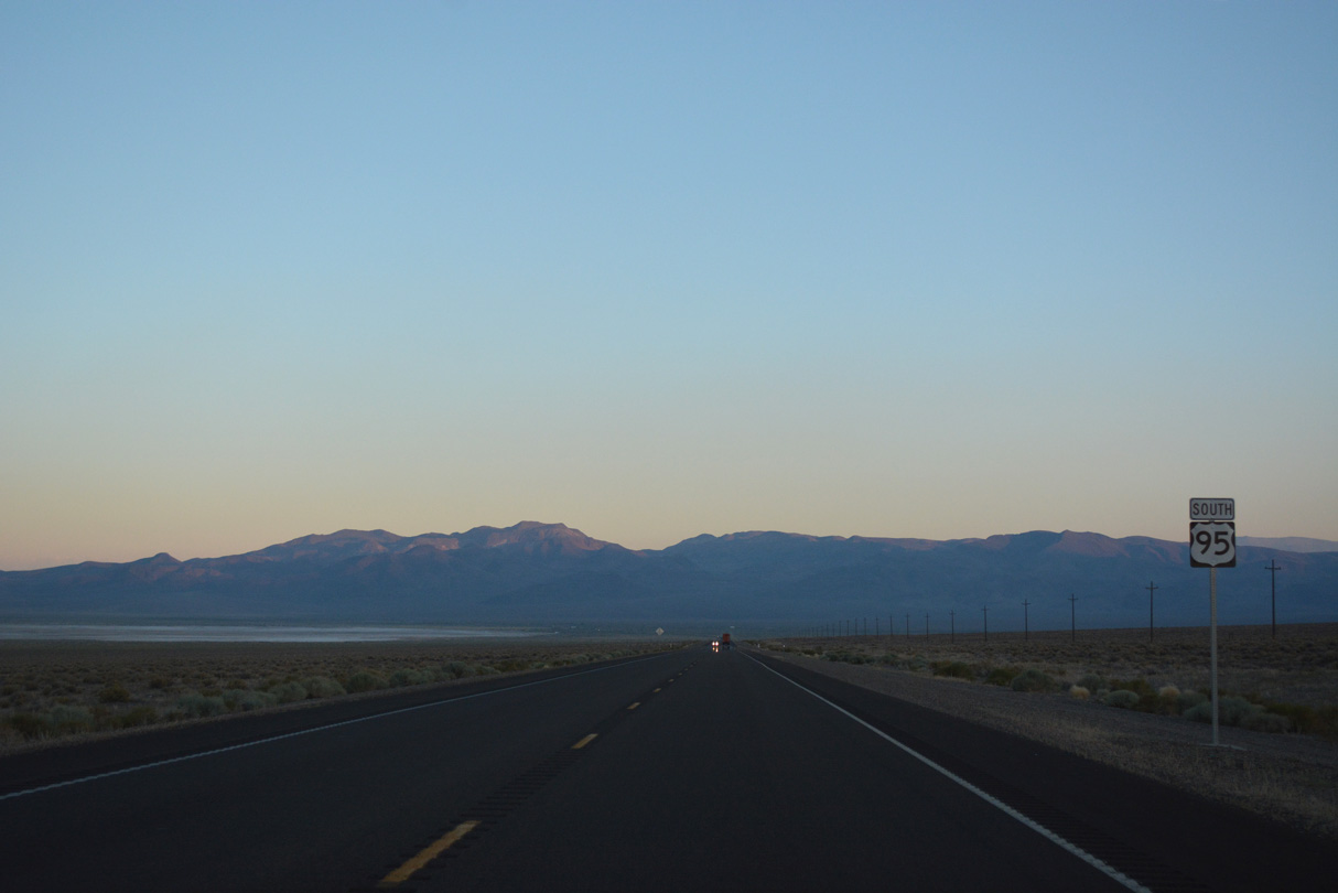
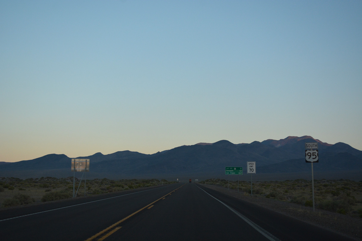
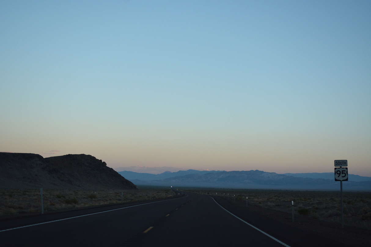
U.S. 95 South - Walker Lake to Coaldale
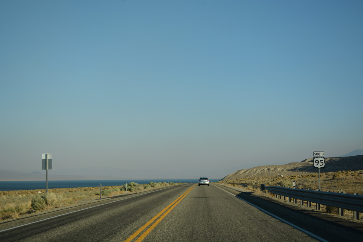
U.S. 95 reassurance marker posted south by Walker Lake.
07/17/17
07/17/17
07/17/17
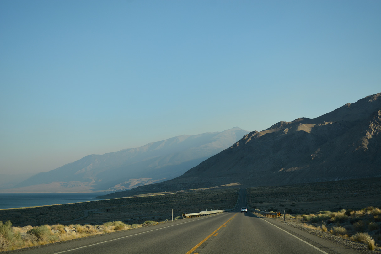
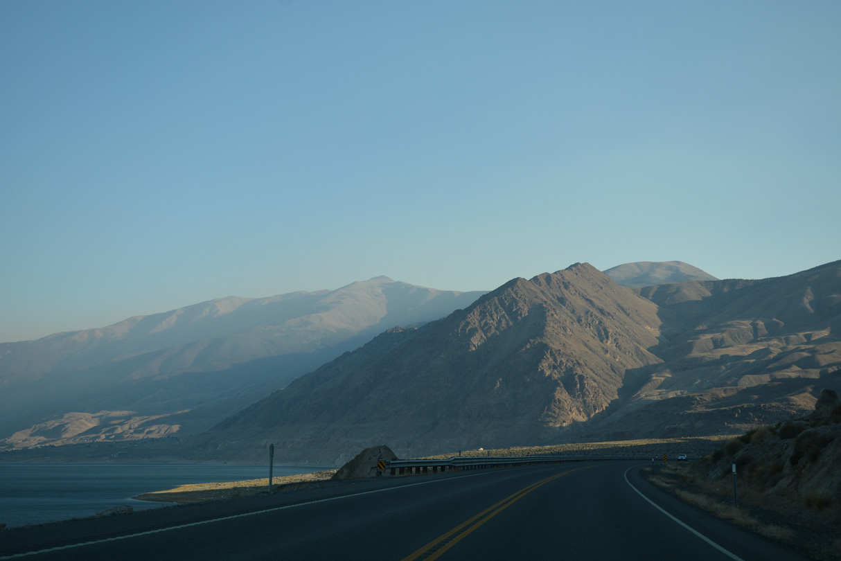
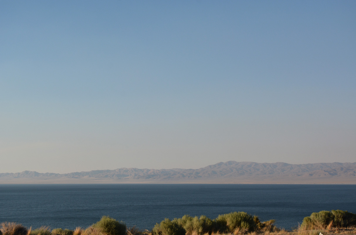
U.S. 95 straddles eastern reaches of the Wassuk Range along Walker Lake.
07/17/17
07/17/17
07/17/17
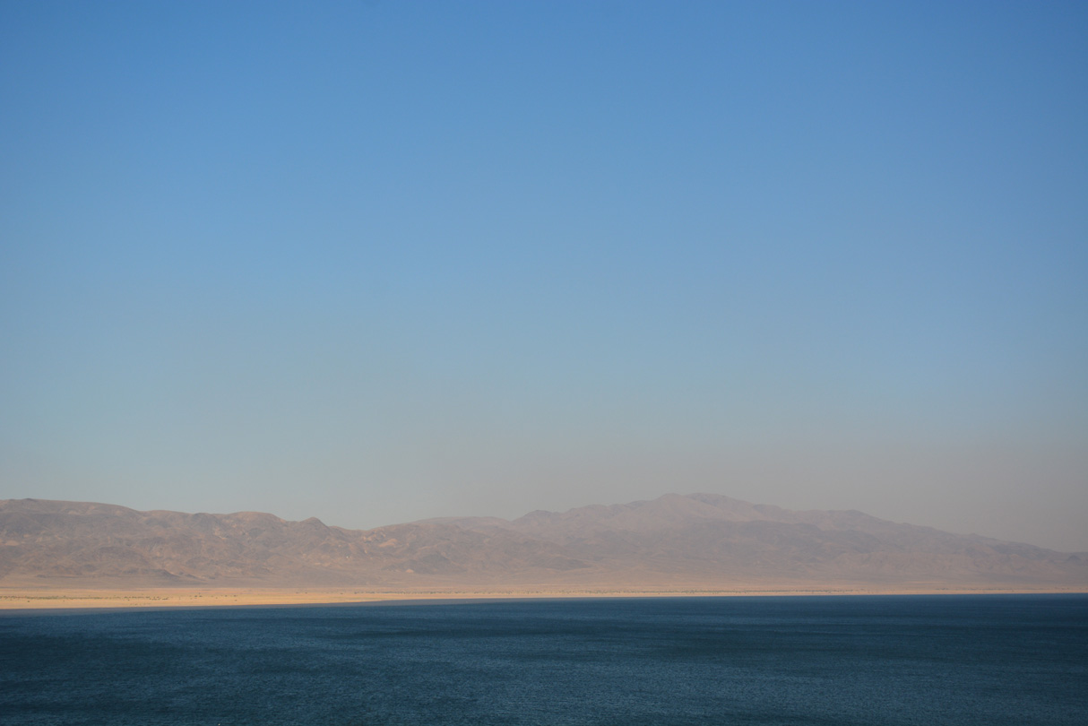
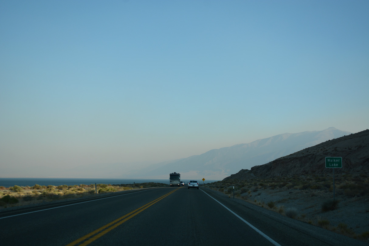
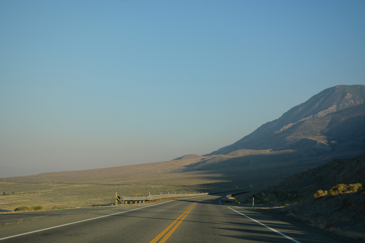
The Gillis Range rises along the east side of Walker Lake.
07/17/17
07/17/17

07/17/17
07/17/17
07/17/17
07/17/17
07/17/17
07/17/17
07/17/17

07/17/17
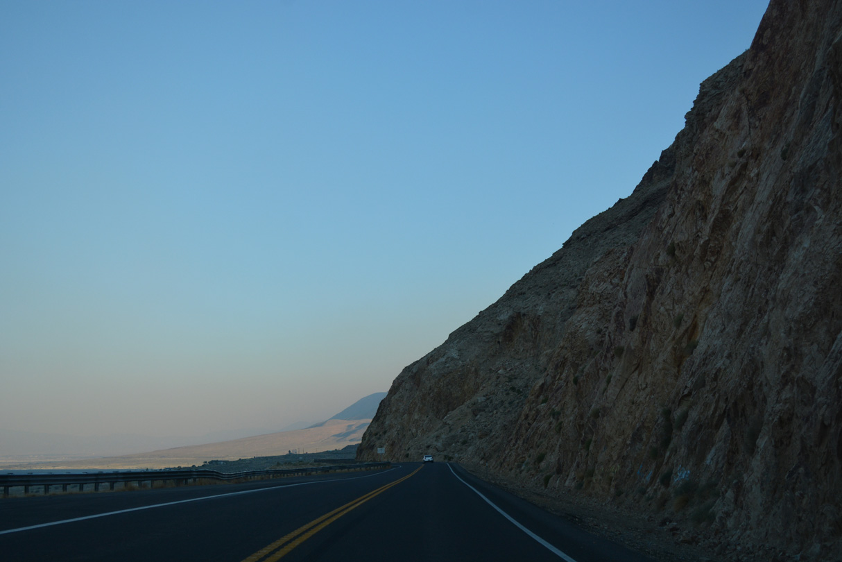
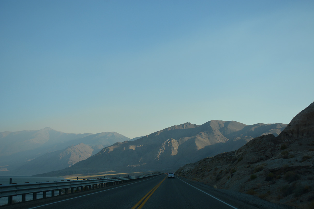
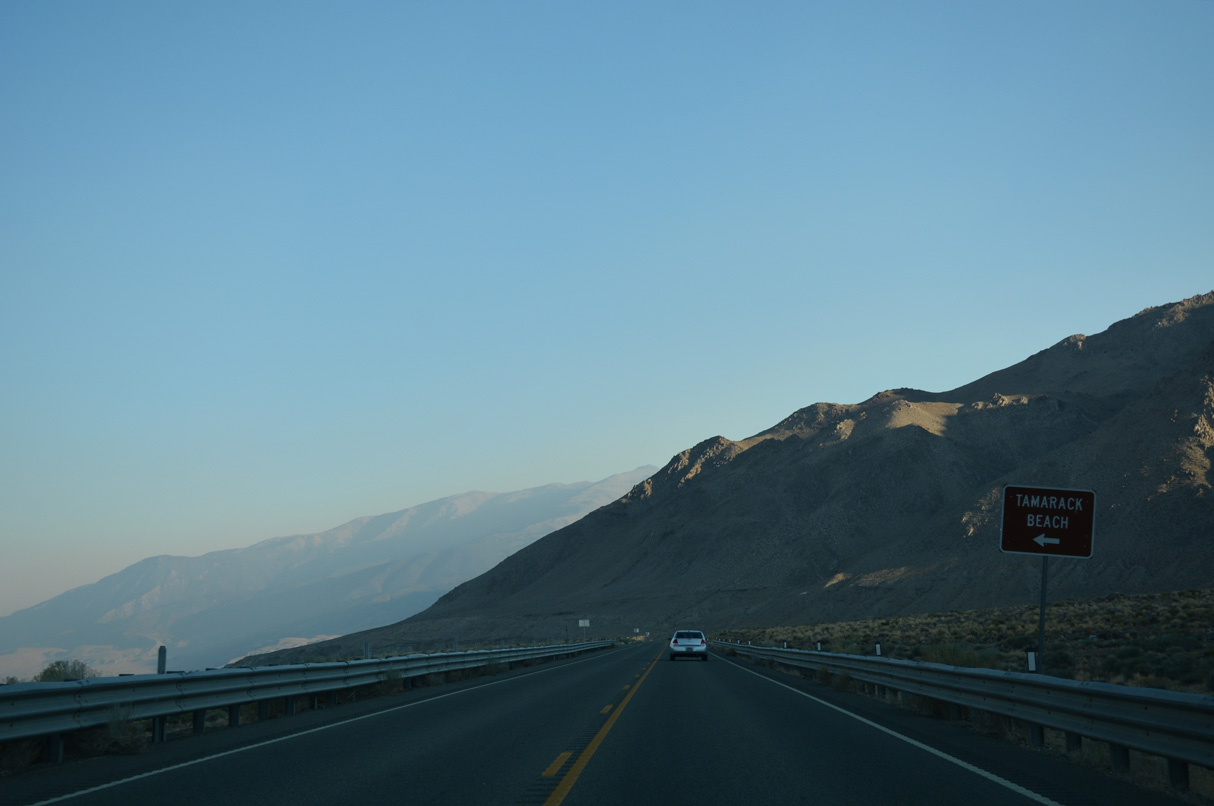
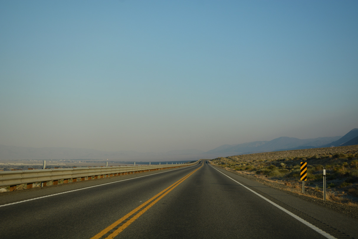
U.S. 95 runs between Wassuk Range rock outcrops and Walker Lake south out of Walker Lake Recreation Area.
07/17/17
07/17/17
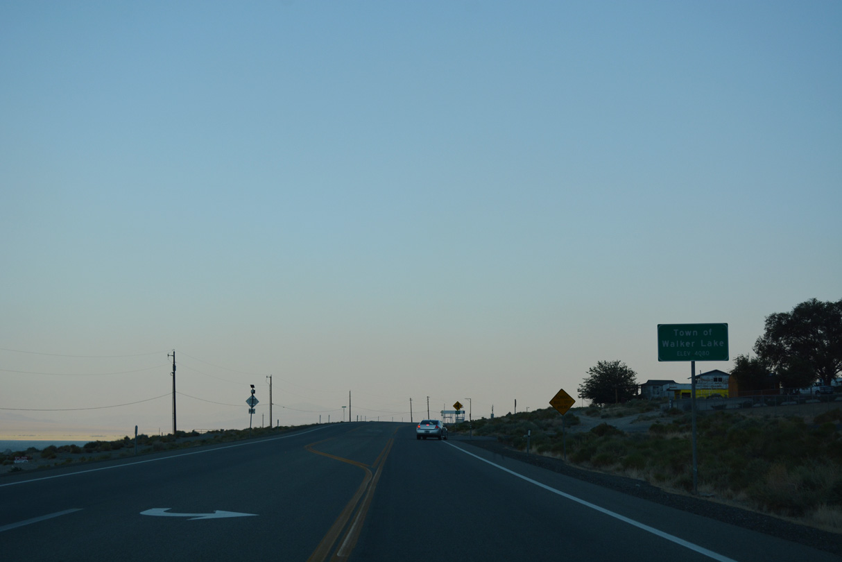
U.S. 95 south next enters the unincorporated town of Walker Lake.
07/17/17
07/17/17
Leaving the town of Walker Lake, U.S. 95 curves southeast across areas of Hawthorne Army Depot.
07/17/17
07/17/17
07/17/17
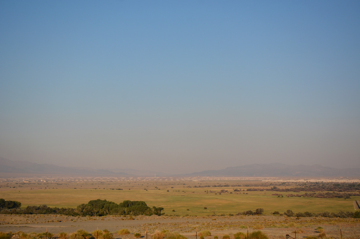
The Hawthorne Army Depot spreads across Walker Lake Valley.
07/17/17
07/17/17
07/17/17

07/17/17

Reassurance markers stand along both sides of U.S. 95 ahead of Schweer Drive.
07/17/17
07/17/17

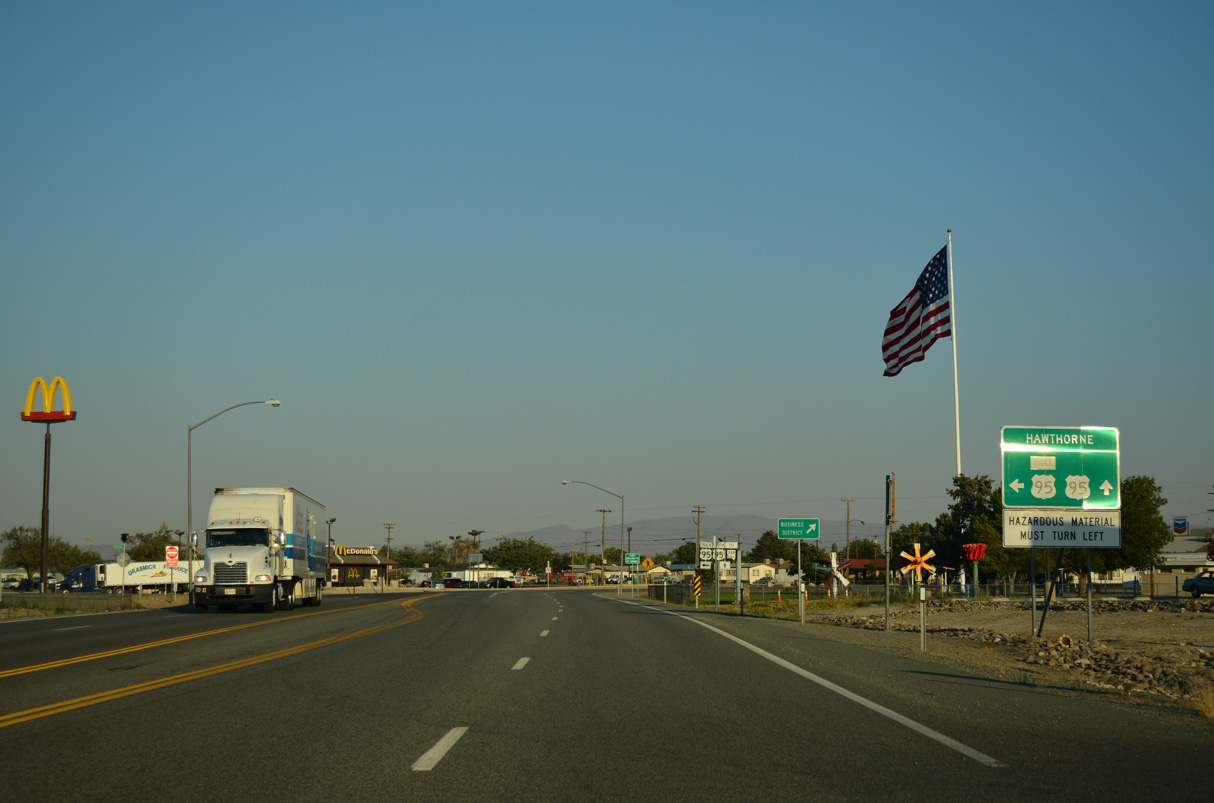
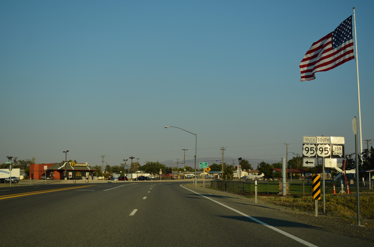
U.S. 95 south at Maine Avenue, Thorne Road and the entrance to Hawthorne Army Depot.
07/17/17
07/17/17
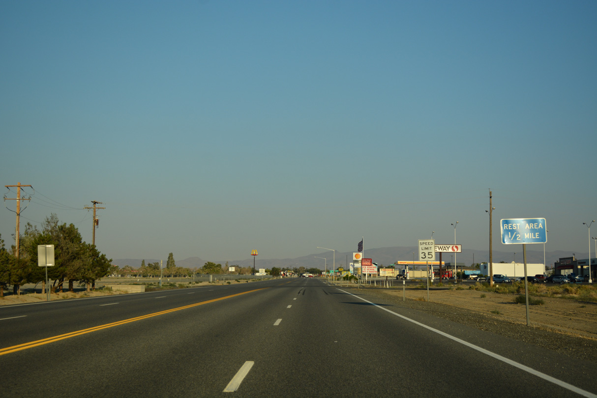
The Hawthorne Rest Area lies at Veterans Memorial Park and the junction of U.S. 95 and U.S. 95 Truck (Freedom Road).
07/17/17
07/17/17

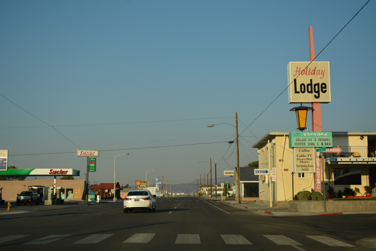
Curving south onto E Street, U.S. 95 enters the unincorporated community of Hawthorne.
07/17/17
07/17/17
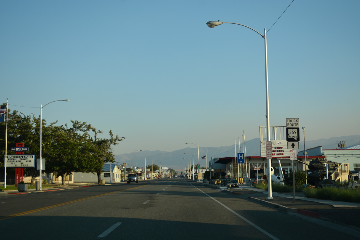
Inventoried as SR 362, U.S. 95 Truck circumvents the Hawthorne street grid to the north and east.
07/17/17
07/17/17
U.S. 95 Truck/SR 362 loop 1.29 miles around Hawthorne.
07/17/17
07/17/17
U.S. 95 heads five blocks south along E Street to the Hawthorne business district and SR 359.
07/17/17
07/17/17
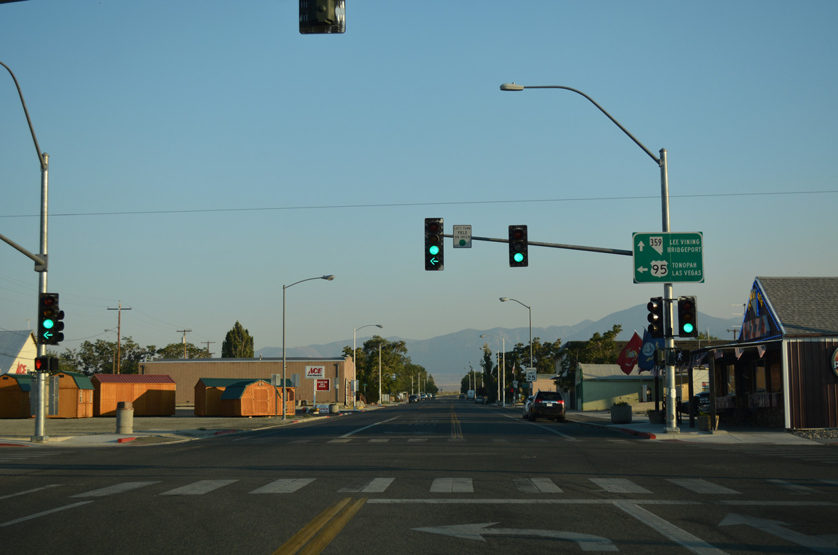
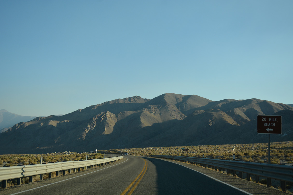
SR 359 travels 33.33 miles south from U.S. 95 in Hawthorne to the California state line. SR 167 extends west from there across Mono Valley to U.S. 395 between Lee Vining and Bridgeport.
07/17/17
07/17/17
U.S. 95 follows 5th Street east from SR 359 (E Street) and Downtown Hawthorne.
07/17/17
07/17/17
5th Street east at J Street in Hawthorne.
07/17/17
07/17/17
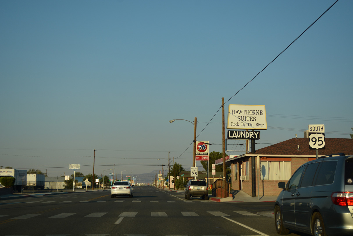
Leaving Hawthorne, U.S. 95 reduces back to two lanes east of the intersection with U.S. 95 Truck.
07/17/17
07/17/17
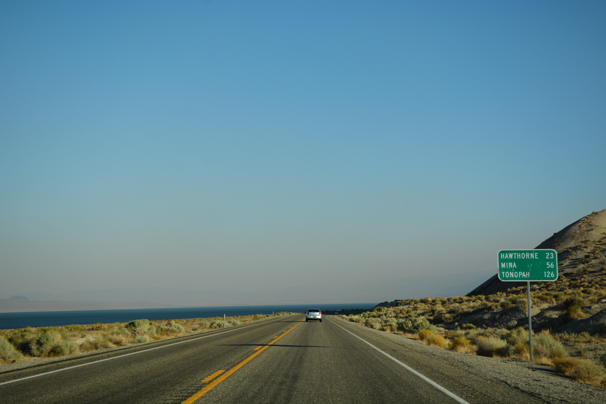
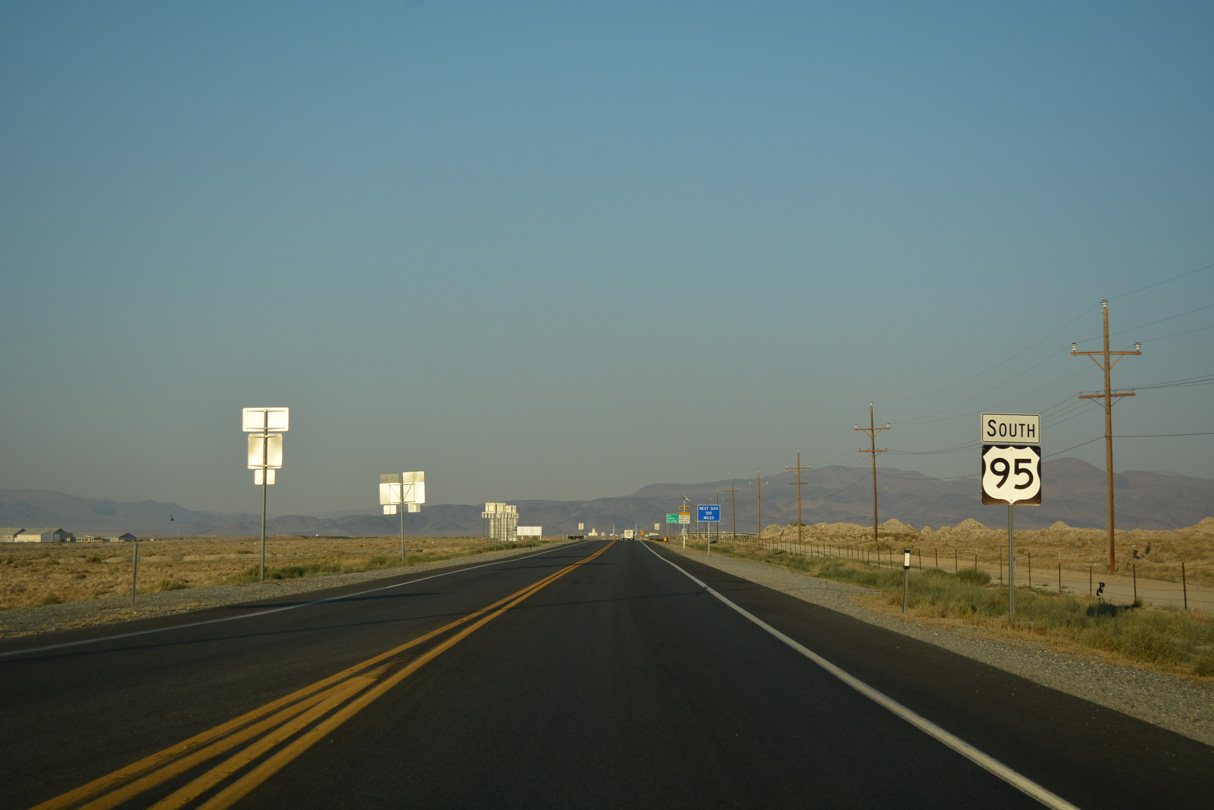
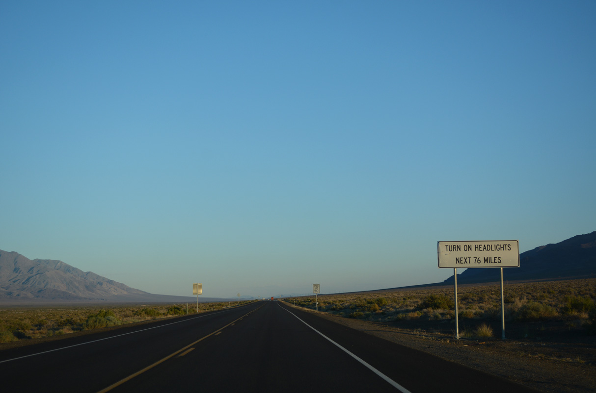
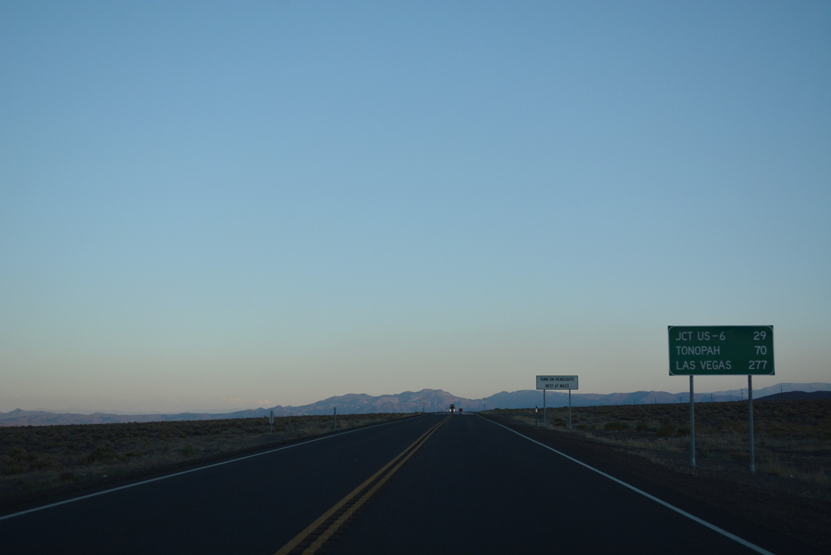
The next available fuel services along U.S. 95 south from Hawthorne is not until Tonopah.
07/17/17
07/17/17
07/17/17

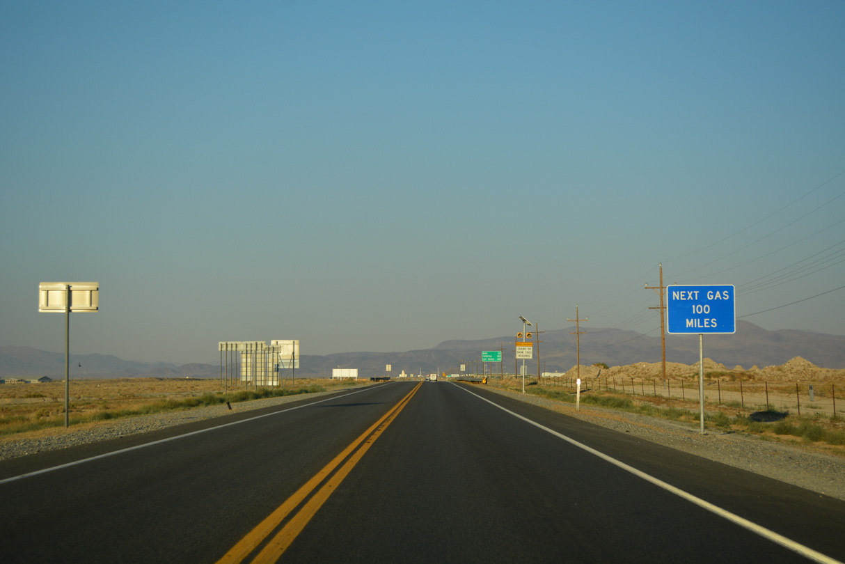
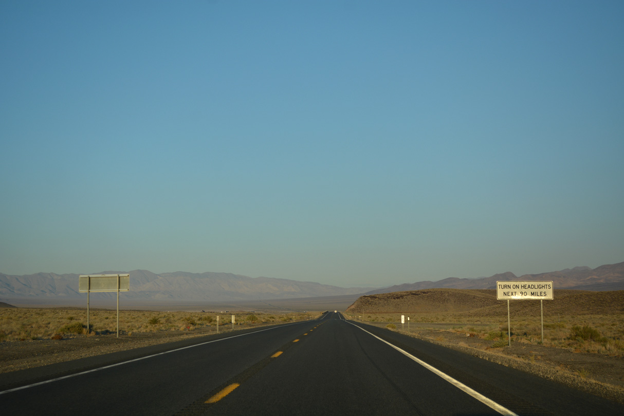
A daytime headlight section along U.S. 95 stretches 100 miles between Hawthorne and Tonopah.
07/17/17
07/17/17
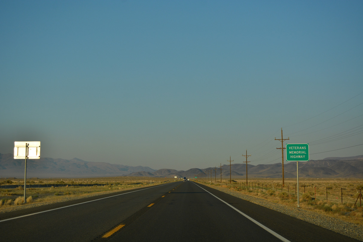
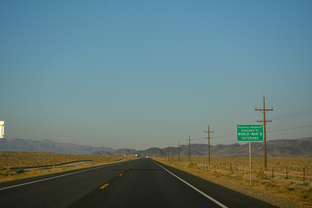
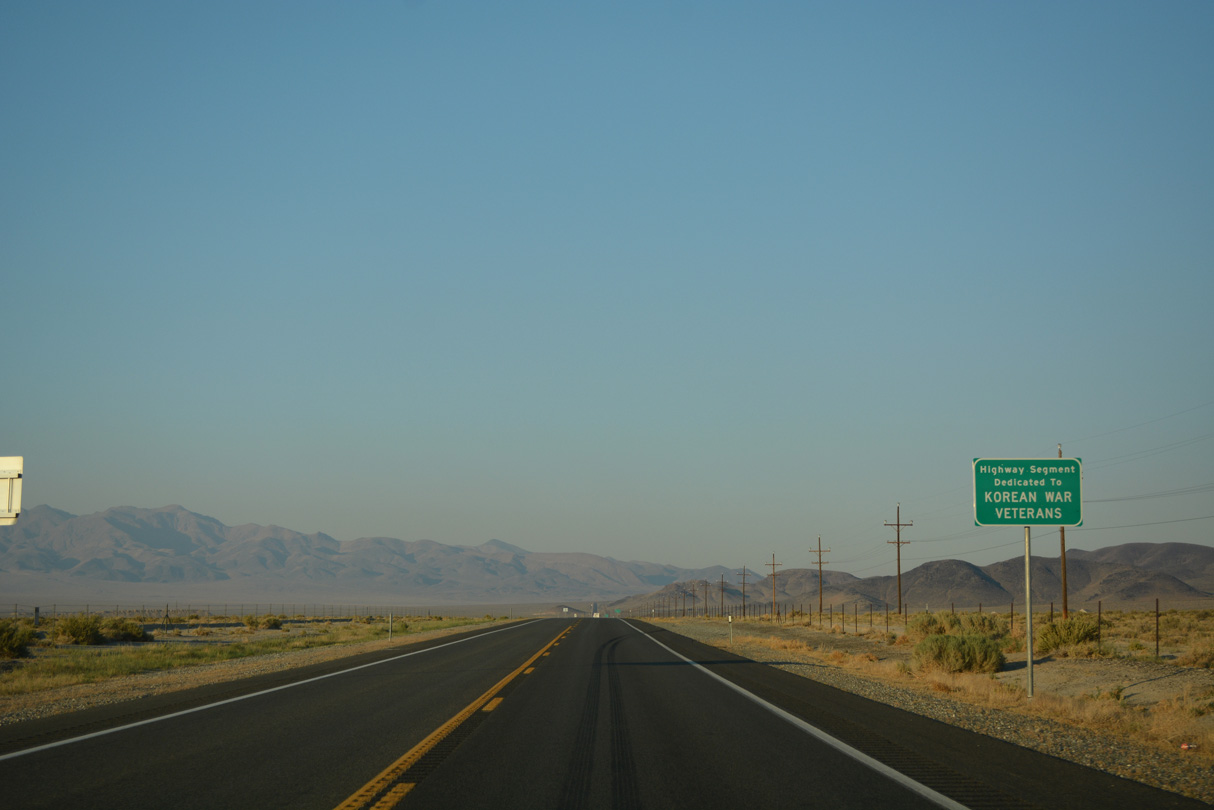
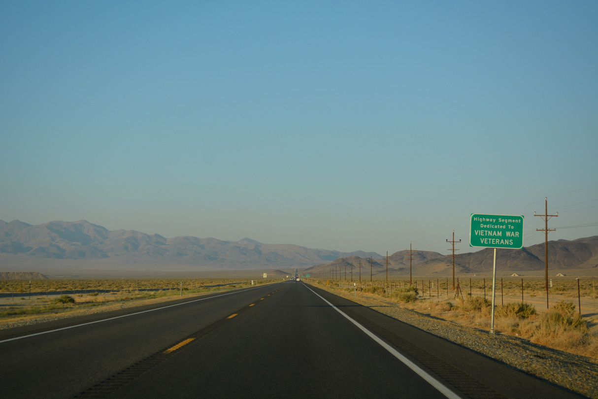
Continuing across Hawthorne Army Depot, U.S. 95 (Veterans Memorial Highway) bends northward to bypass the Garfield Hills.
07/17/17
07/17/17

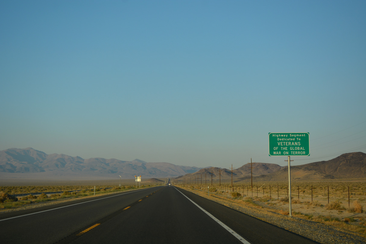
A series of signs dedicates the Veterans Memorial Highway to those who served from World War I onward.
07/17/17
07/17/17
07/17/17

07/17/17
07/17/17
07/17/17

07/17/17
07/17/17
U.S. 95 leaves Walker Lake Valley east along the northern fringe of the Garfield Hills.
07/17/17
07/17/17
U.S. 95 lowers into the Soda Spring Valley ahead of Mineral County milepost 36.
07/17/17
07/17/17
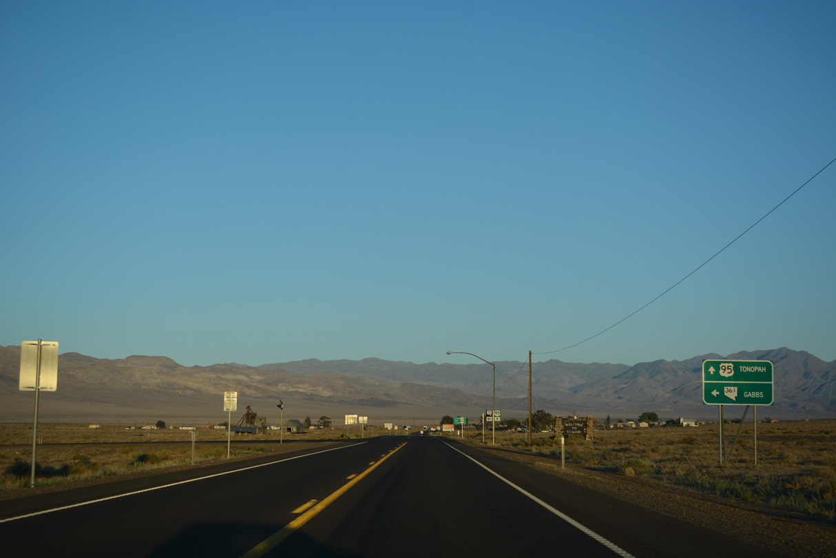
U.S. 95 curves southeast ahead of Mineral County mile marker 27. The Gabbs Valley Range borders Soda Spring Valley to the east.
07/17/17
07/17/17

The Luning Rest Area lies 0.7 miles beyond the junction with SR 361.
07/17/17
07/17/17

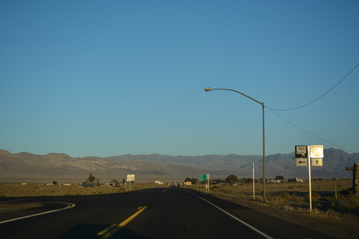
SR 361 travels 62.9 miles north across remote areas in Gabbs Valley to U.S. 50 at the settlement of Middlegate.
07/17/17
07/17/17
SR 361 heads 33.1 miles north to SR 844, which spurs east to Berlin Ichthyosaur State Park.
07/17/17
07/17/17
The unincorporated town of Gabbs is 31 miles to the north along SR 361.
07/17/17
07/17/17
07/17/17

07/17/17
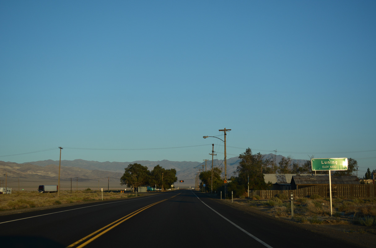
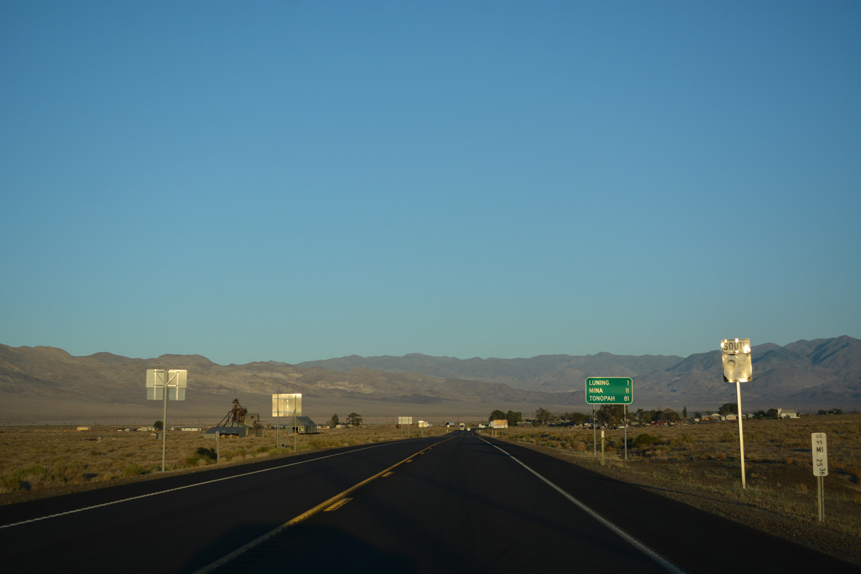
U.S. 95 continues south from SR 361 into the unincorporated town of Luning.
07/17/17
07/17/17

The Luning Rest Area is between 1st and 2nd Avenues on U.S. 95 in Luning.
07/17/17
07/17/17
Paralleling Black Dyke Mountain, U.S. 95 (Veterans Memorial Highway) resumes a southward heading along the west side of Soda Spring Valley.
07/17/17
07/17/17
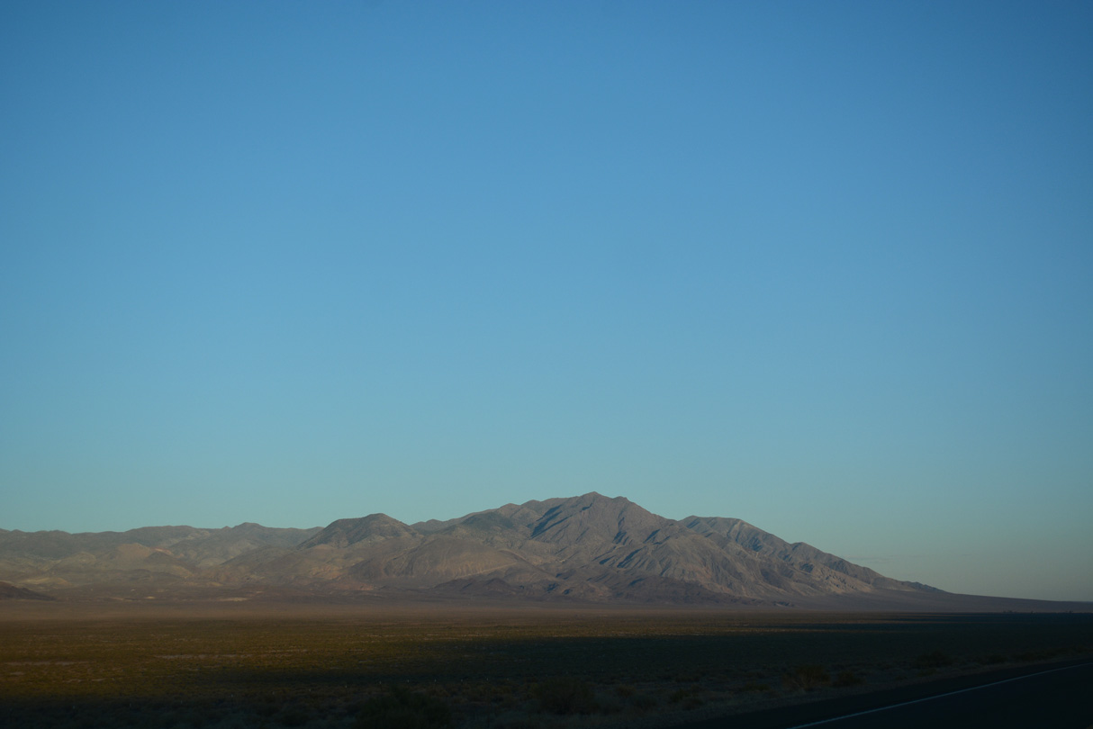
Llama Mountain and the Pilot Mountains
07/17/17
07/17/17

Reassurance marker posted at Mineral County milepost 20.
07/17/17
07/17/17
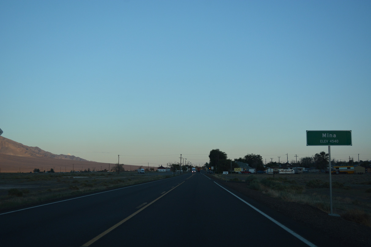
U.S. 95 advances south to the census designated place of Mina.
07/17/17
07/17/17
U.S. 95 heads south out of Mina ahead of Mineral County milepost 15.
07/17/17
07/17/17
07/17/17
The Rhodes Salt Marsh appears to the southeast from U.S. 95 near Mineral County milepost 11.
07/17/17
07/17/17

U.S. 95 makes a gradual turn to the southeast beyond Mineral County milepost 9. The highway used to remain southward to SR 360 before making the turn to avoid the Candelaria Hills. Power poles still mark the original course.
07/17/17
07/17/17

SR 360 provides a cutoff from U.S. 95 southwest to U.S. 6 near Basalt.
07/17/17
07/17/17

SR 360 travels southwest between the Excelsior Mountains and Candelaria Hills to U.S. 6. U.S. 6 heads southwest from SR 360 across Montgomery Pass to Queen Valley and the California state line en route to U.S. 395 at Bishop.
07/17/17
07/17/17
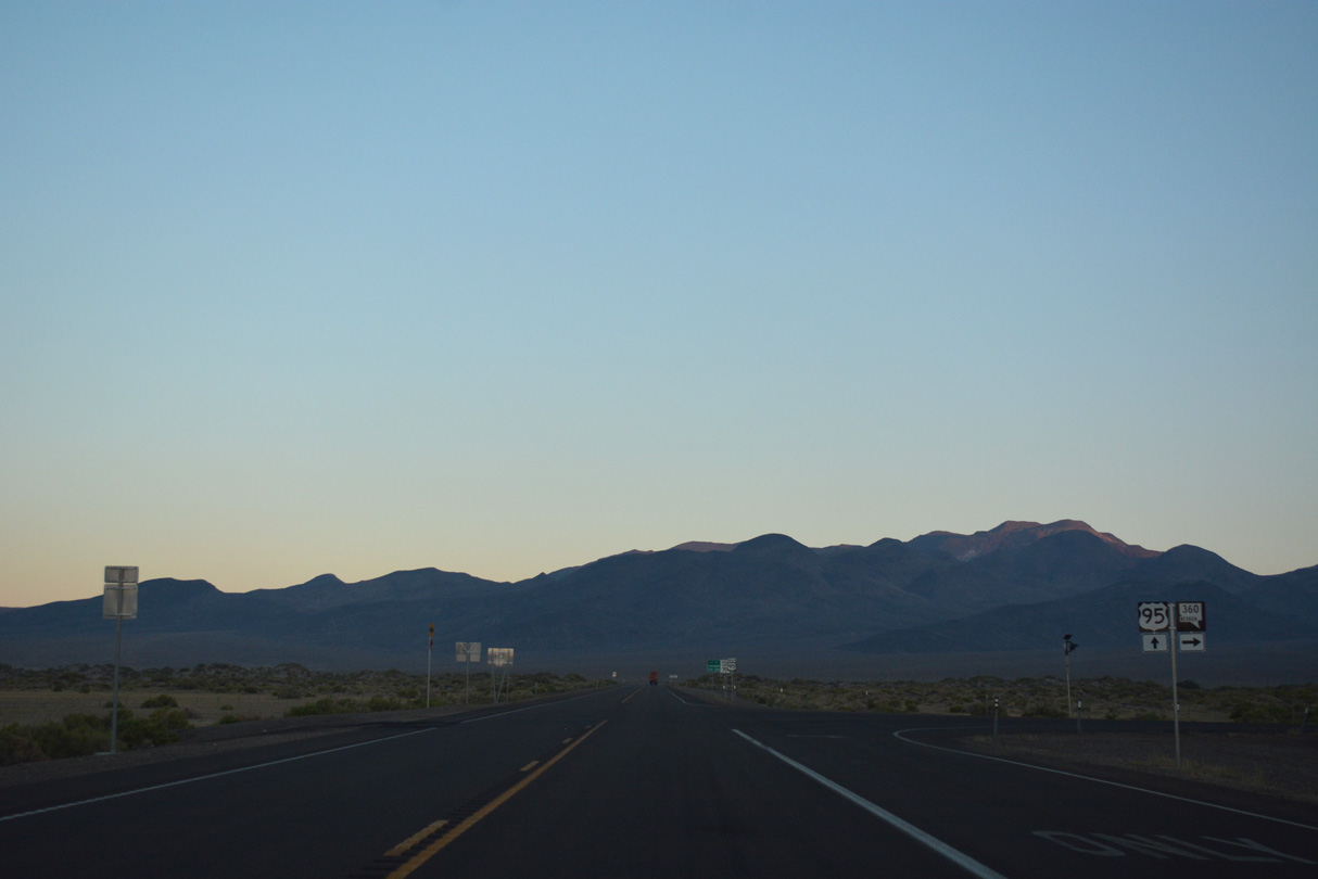
SR 360 (Mina/Basalt Cutoff Road) measures 23.23 miles in length between U.S. 95 near Tonopah Junction and U.S. 6.
07/17/17
07/17/17
07/17/17
07/17/17

U.S. 95 crosses eastern reaches of the Candelaria Hills south into Esmeralda County.
07/17/17
07/17/17
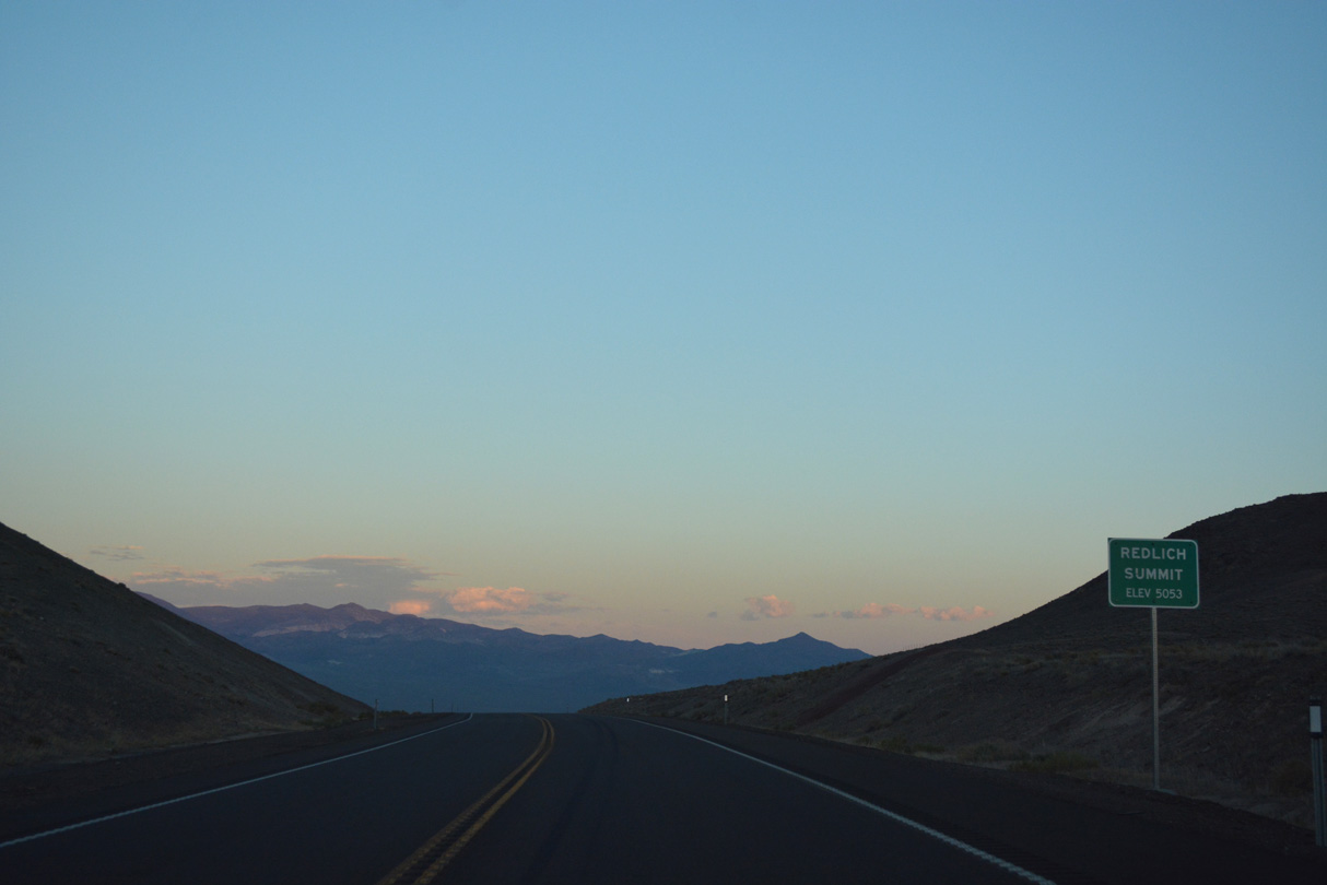
Redlich Summit (elevation 5,503 feet)
07/17/17
07/17/17

U.S. 95 continues south from the Candelaria Hills into a broad valley east of Columbus Salt Marsh.
07/17/17
07/17/17
This reassurance marker stands along U.S. 95 south by Rock Hill.
07/17/17
07/17/17
U.S. 95 south between Columbus Salt Marsh and the Monte Cristo Range.
07/17/17
07/17/17

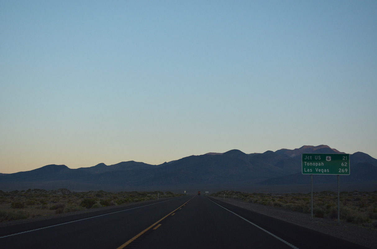
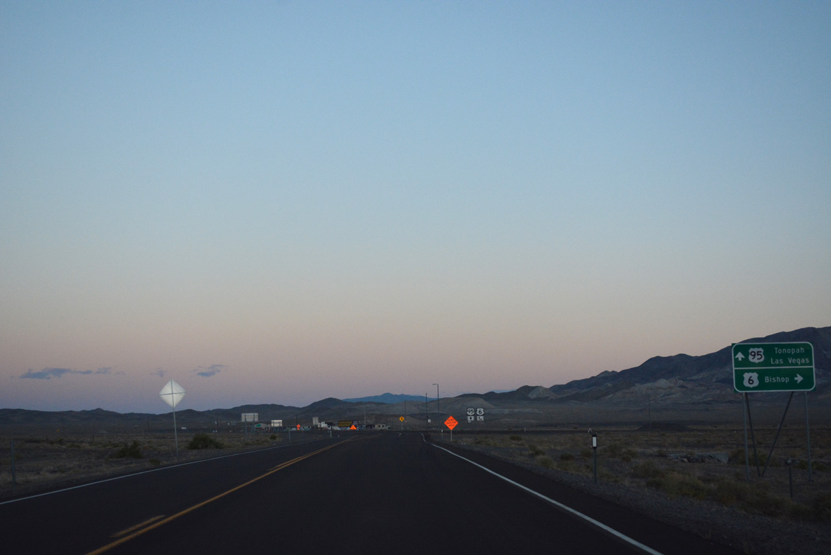
U.S. 6 converges with U.S. 95 at Coaldale Junction.
07/17/17
07/17/17
U.S. 6 travels 74.5 miles west past the White Mountains and south to U.S. 395 in Bishop, California.
07/17/17
07/17/17

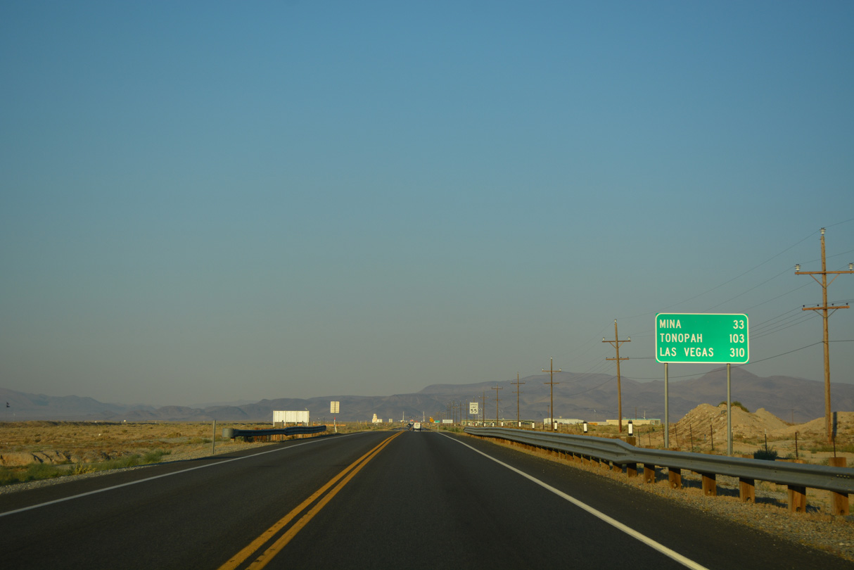
U.S. 6/95 overlap east from nearby Coaldale across Big Smoky Valley to the Nye County seat of Tonopah.
07/17/17
07/17/17
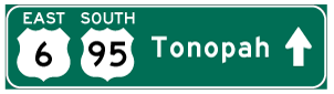

Photo Credits:
- Brent Ivy: 07/17/17
Connect with:
Page Updated Tuesday November 25, 2025.