
U.S. 95 South - Boulder City to California

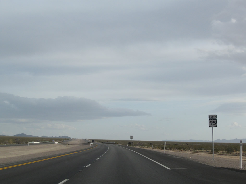
U.S. 95 confirming marker posted south of the exchange with I-11/U.S. 93.
10/20/25
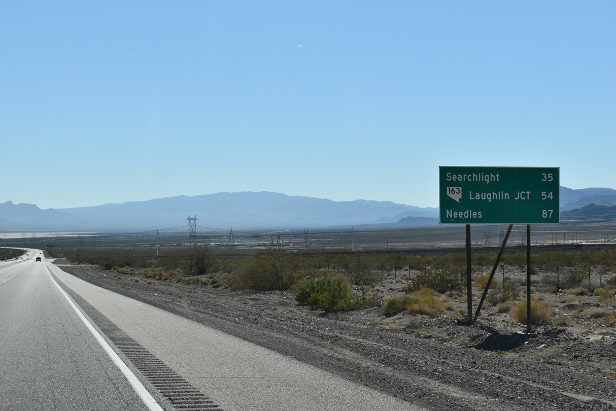
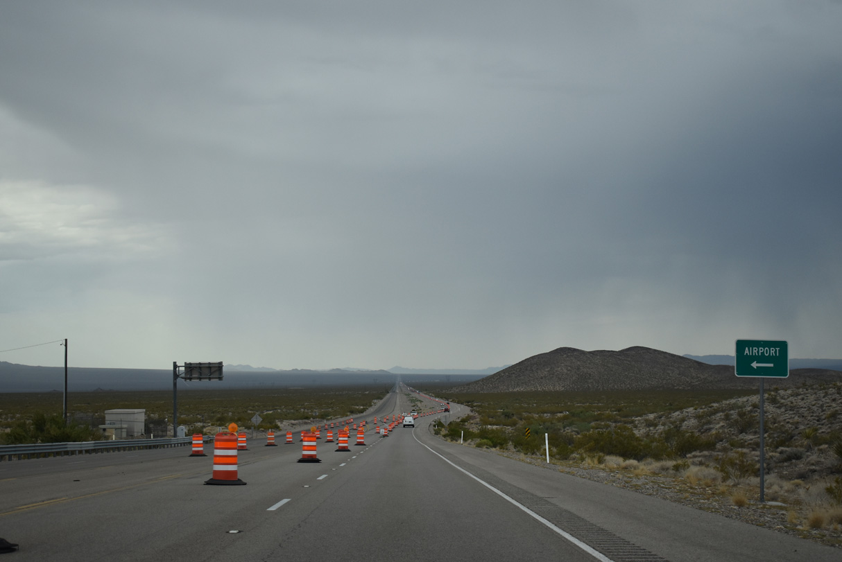
The previous distance sign posted south of I-11/U.S. 93 listed Cal Nev Ari at 47 miles. That entry was replaced with SR 163 / Laughlin Junction on a sign replacement made by 2022.
10/20/25
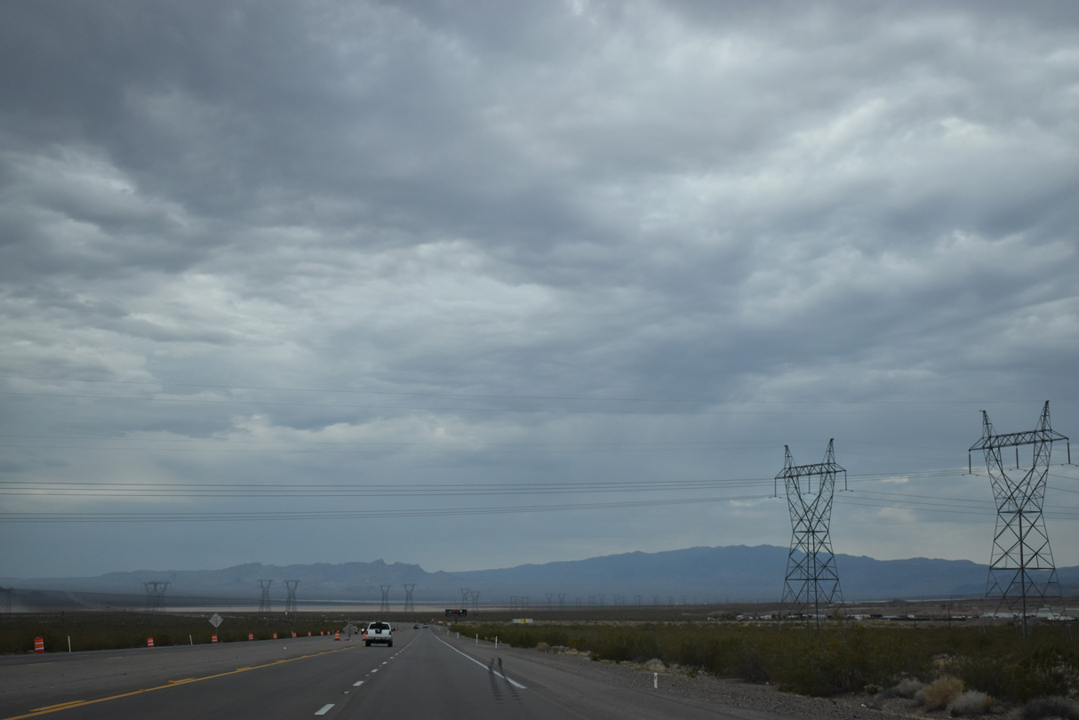
Originating in the Mead substation south of Boulder City, a pair of single-circuit power lines extend west over the McCullough Range to a substation off McCullough Hills Parkway in Henderson.
07/07/18
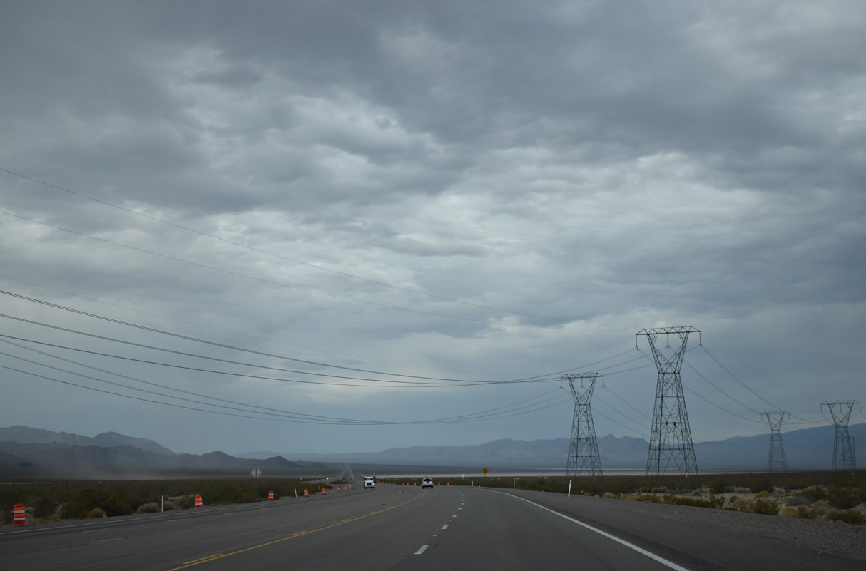
Two Southern California Edison single-circuit, 230kV power lines cross over U.S. 95 next. These long-range power lines lead southeast from the Mead substation to the Eldorado substation, then continue southeast all the way to the Lugo substation in Hesperia, California, as part of the support network for Path 46, West of Colorado River.
07/07/18
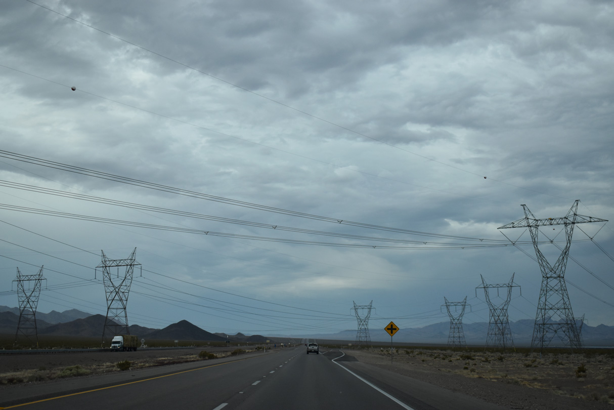
Another of major power transmission lines crosses U.S. 95. The 500kV power line connects the Mead Substation with the Marketplace Substation, which connects directly to Path 64. Owned by the Los Angeles Department of Water and Power, Path 64 travels southeast from Marketplace substation to Adelanto substation.
07/07/18
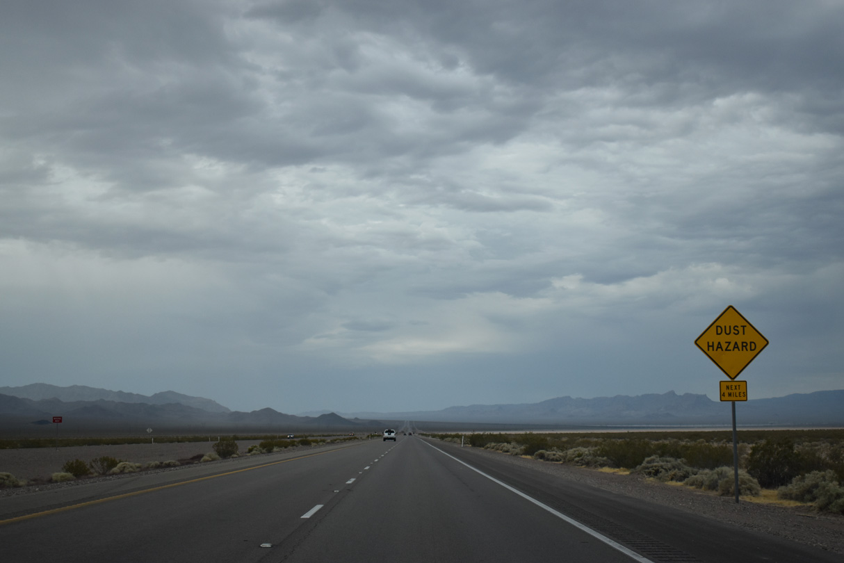
Reaching its lowest point in Eldorado Valley, U.S. 95 passes through the northeastern corner of the sprawling Eldorado Valley Dry Lake Bed.
07/07/18
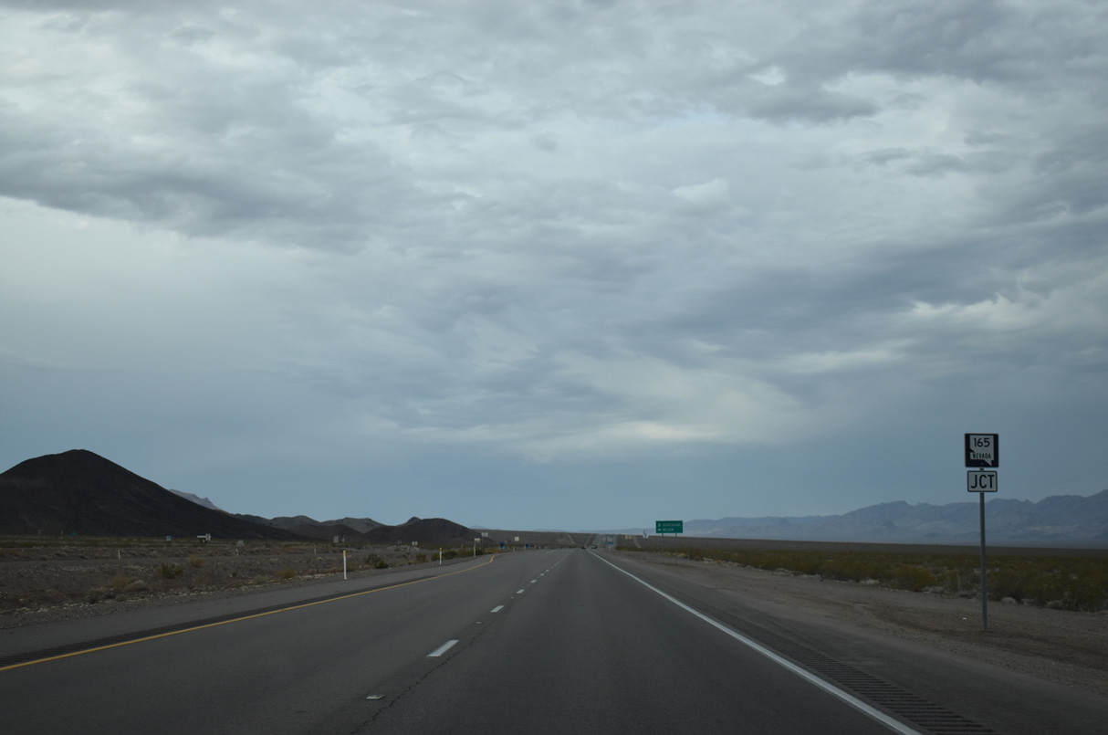
Southbound U.S. 95 meets SR 165 ahead of Clark County milepost 46.
07/07/18

SR 165 (Nelson Road) constitutes an 11.02 mile long spur from U.S. 95 to a point just north of Western Street at Nelson.
07/07/18

SR 165 formerly extended east from the community of Nelson to Nelson Landing on Lake Mohave along the Colorado River. The 7.2 mile long stretch is locally maintained.
07/07/18
Confirming marker posted south of SR 165 (Nelson Road).
07/07/18
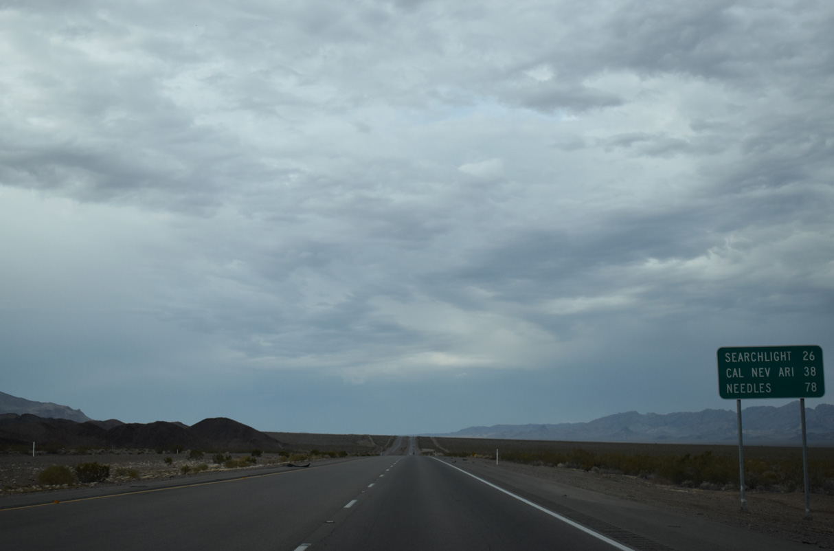
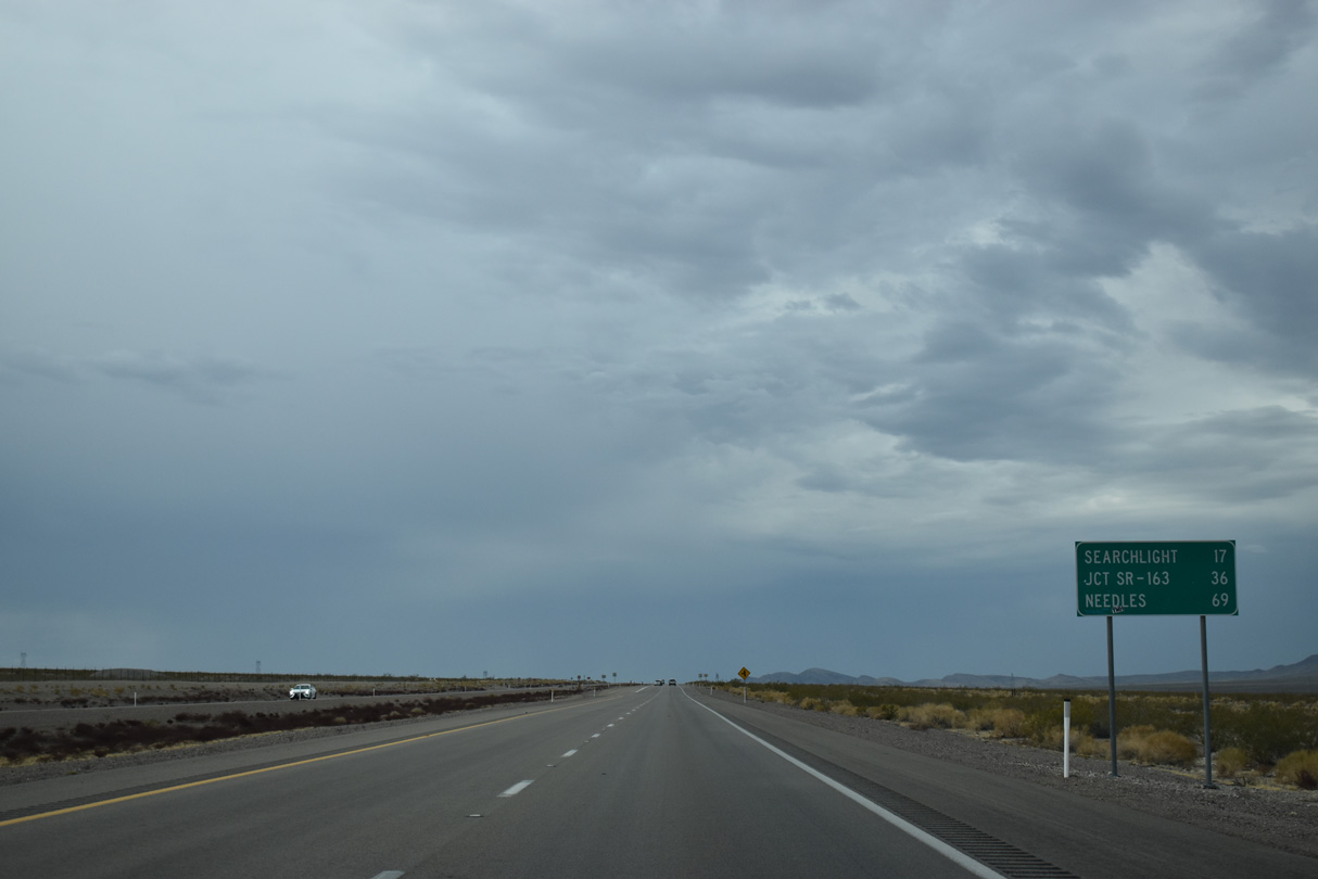
U.S. 95 continues 26 miles south from SR 165 to Searchlight and 37 miles to Cal Nev Ari. Needles, California is 78 miles away.
07/07/18
The last of the solar farms in Eldorado Valley spread to the west of U.S. 95 ahead of Clark County milepost 42.
07/07/18
U.S. 95 turns southward at Clark County milepost 38, west of Keyhole Canyon in the Eldorado Mountains.
07/07/18
A reassurance marker stands precedes unpaved ranch road tieing into U.S. 95 from the east near Clark County milepost 37.
07/07/18
This distance sign posted near milepost 37 was replaced by 2022.
07/07/18
Most of the unpaved roads that connect to U.S. 95 lead into the area around the Highland Range Crucial Bighorn Habitat Area.
07/07/18
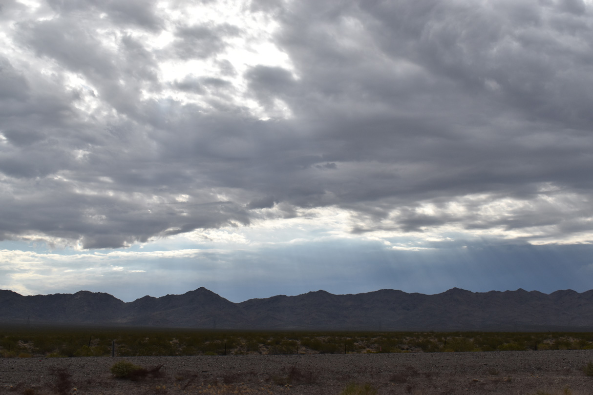
The Highland Range rises along the western side of south Eldorado Valley.
07/07/18

Searchlight lies within the distance hills that separate the Eldorado and Piute Valleys.
07/07/18
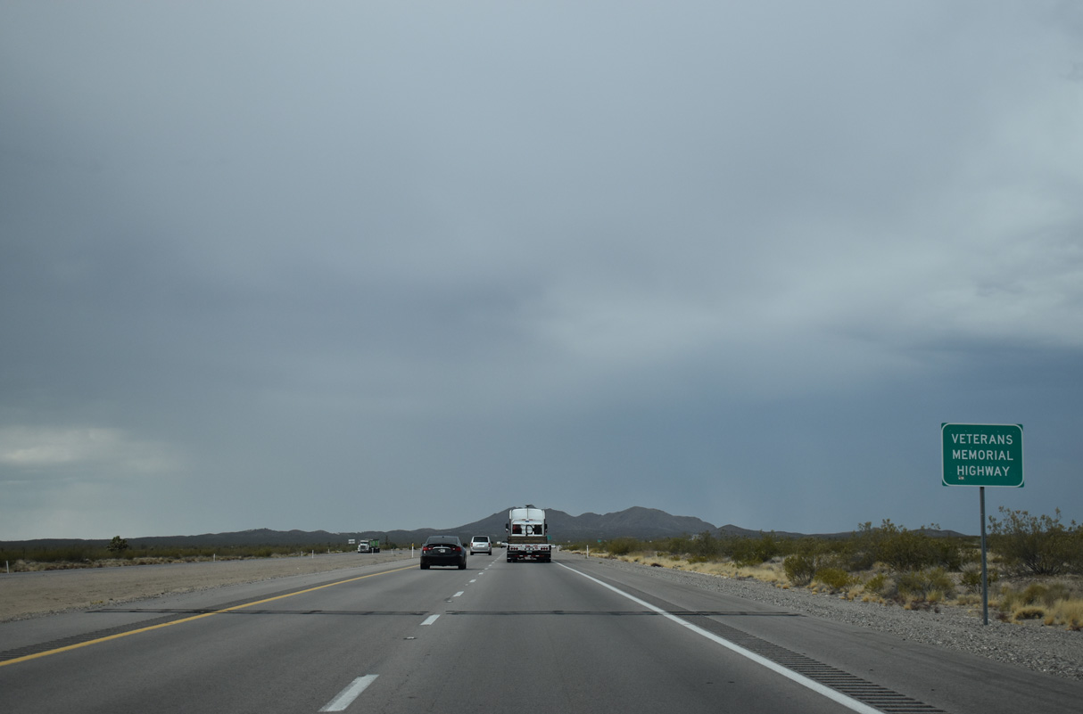
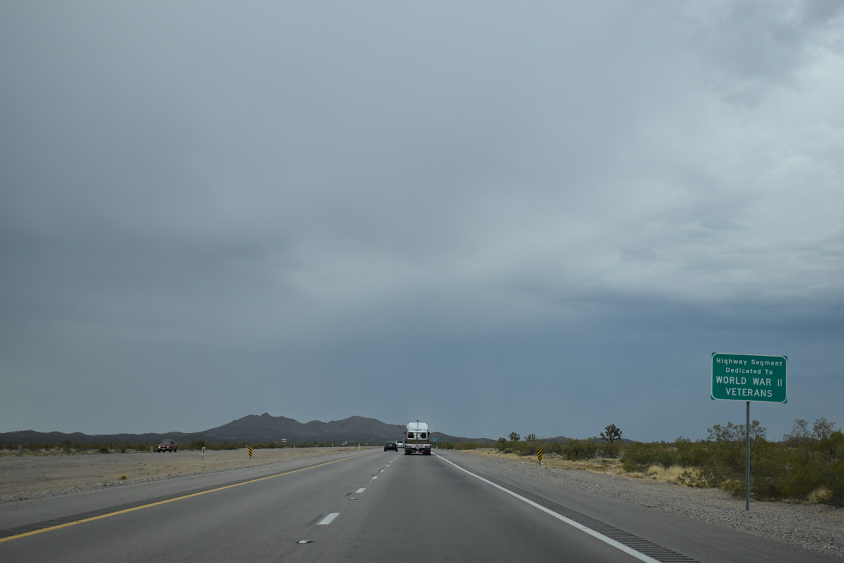
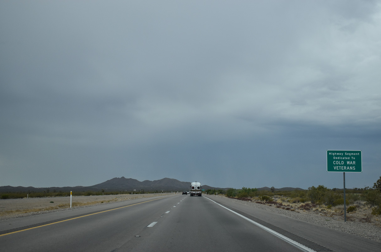
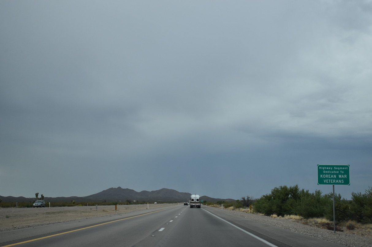
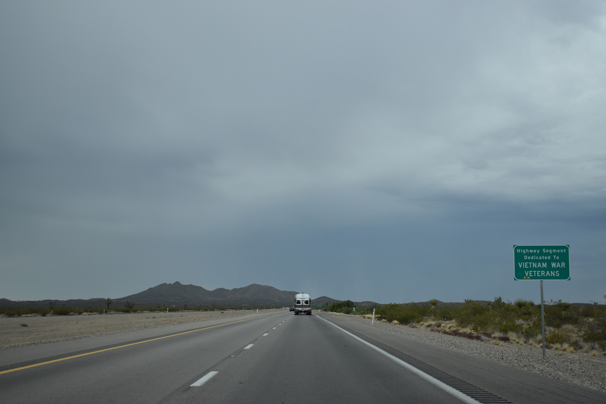
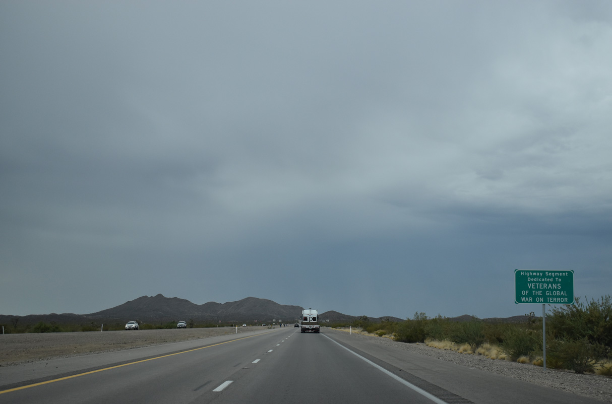
U.S. 95 throughout Nevada is the Veterans Memorial Highway.
07/07/18
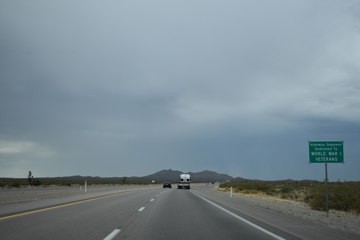
Subsequent signage posted along U.S. 95 south honors veterans from specific wars from the 20th and 21st centuries.
07/07/18
U.S. 95 narrows from a four-lane, divided highway into a five lane boulevard south of Grandpa's Road at Clark County milepost 24.
07/07/18
U.S. 95 continues south to the unincorporated town of Searchlight. First explored in 1897 by gold prospector George Frederick Colton; gold was mined in the area between 1907 and 1910.
07/07/18
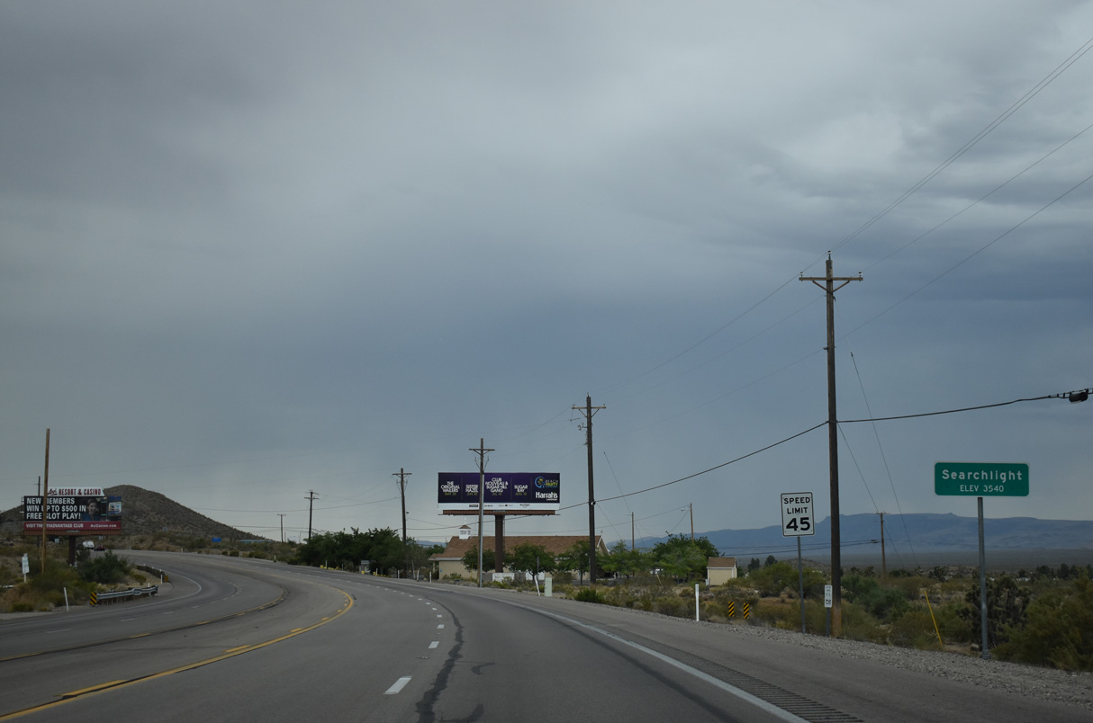
U.S. 95 enters Searchlight (elevation 3,540 feet above sea level). Home to just 445 as of the 2020 Census, the population of Searchlight declined as mining activity diminished (the last mine closed in 1953). Population remains with the location on U.S. 95 between Las Vegas and Laughlin and the proximity of Lake Mead National Recreation Area.
07/07/18
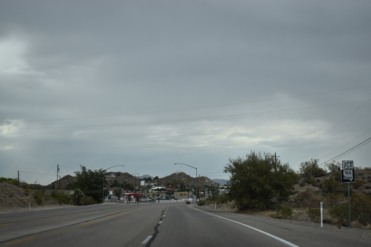
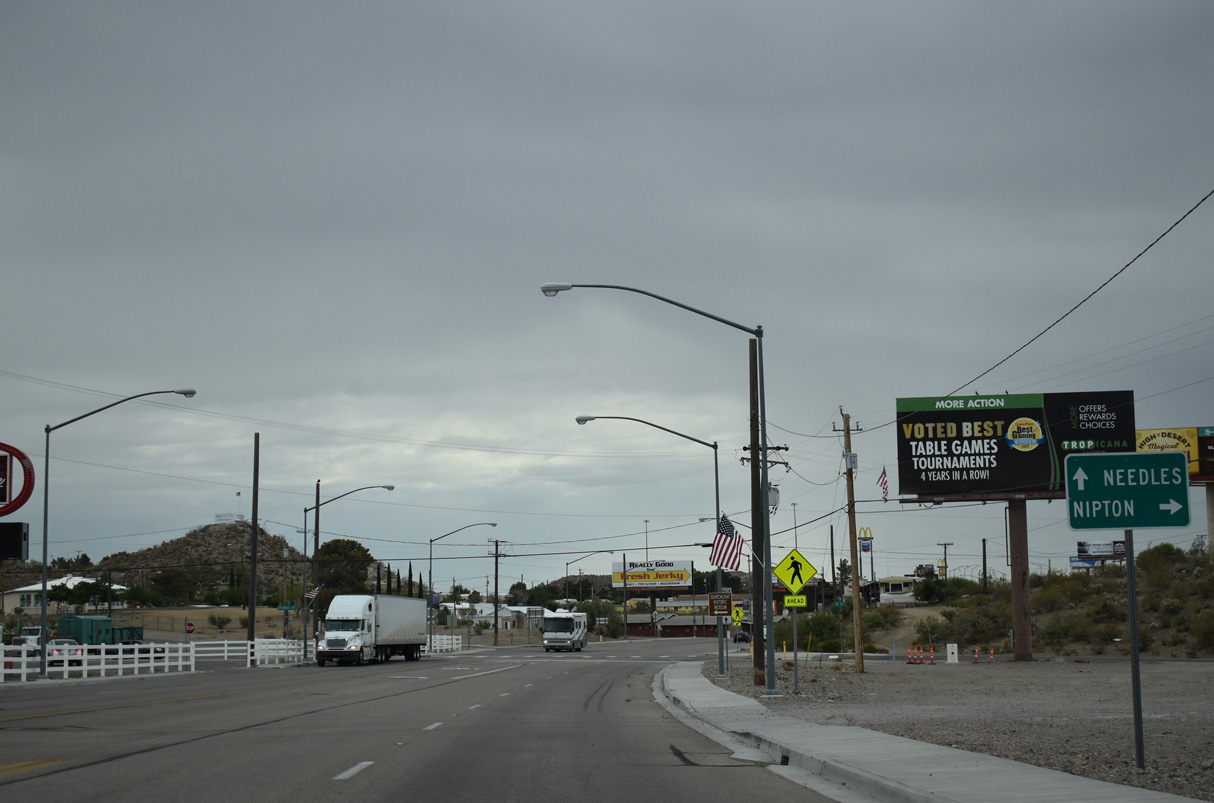
The commercialized stretch along U.S. 95 in Searchlight begins just north of SR 164 (Nipton Road).
07/07/18
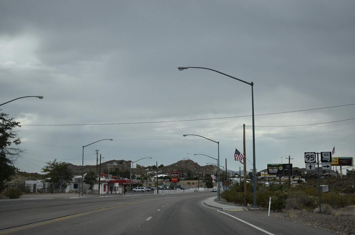
SR 164 (Nipton Road) leads 18.55 miles west from Searchlight to the California state line.
07/07/18
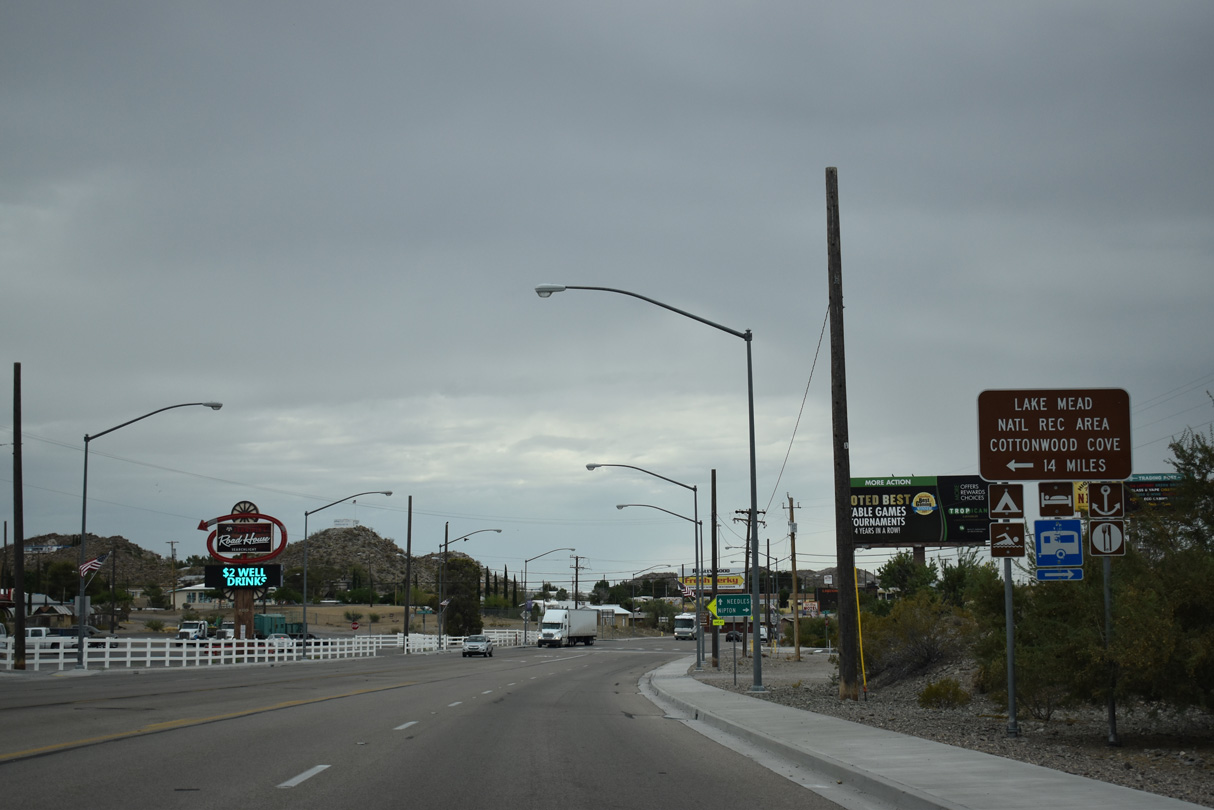
Cottonwood Cove Road spurs 13.5 miles east from the intersection of U.S. 95 and SR 164 (Nipton Road) to Cottonwood Cove in Lake Mead National Recreation Area.
07/07/18
Nipton Road continues westward from the end of SR 164 into California as a locally maintained route to the unincorporated community of Nipton and Interstate 15 at the Nipton Road interchange (Exit 286).
07/07/18
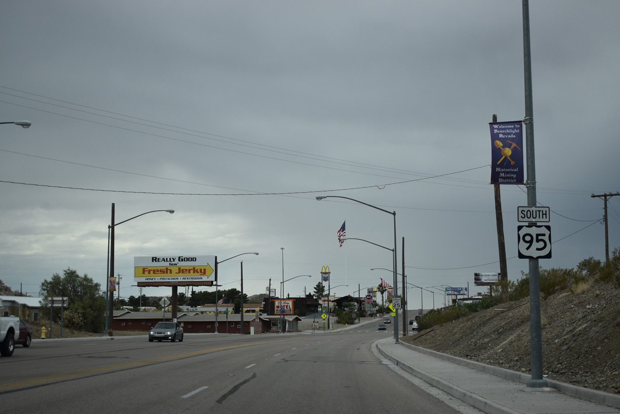
The speed limit is just 25 miles per hour by the array of motorist services along U.S. 95 in Searchlight.
07/07/18
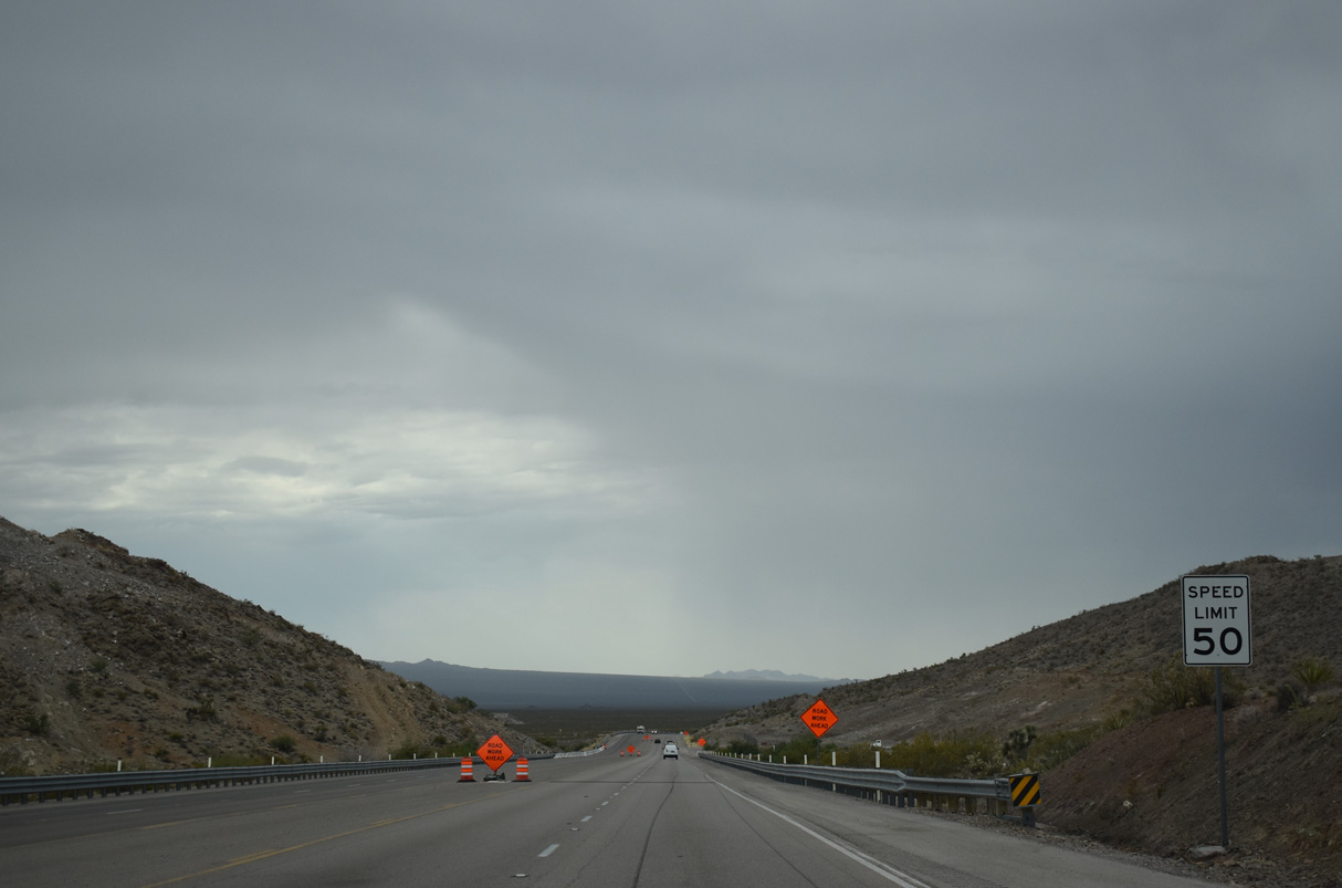
U.S. 95 lowers from Searchlight into the expansive Piute Valley.
07/07/18
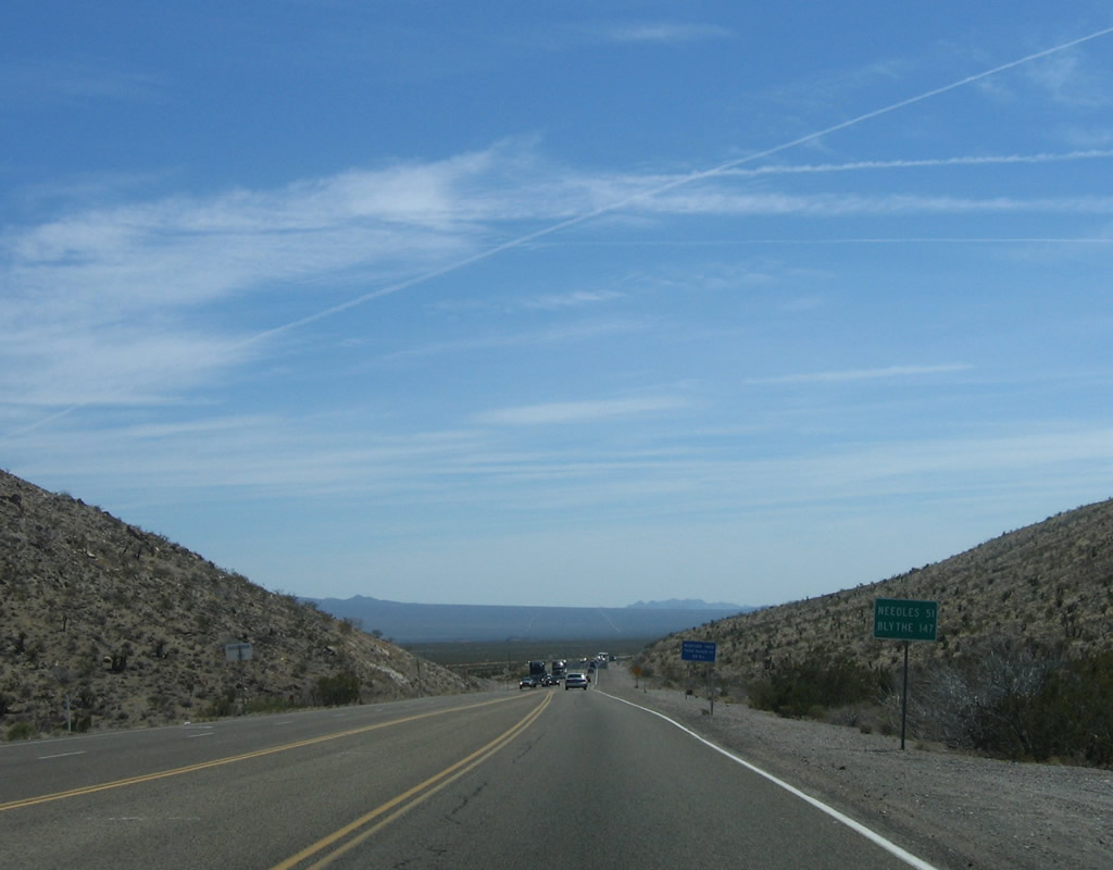
Prior to the expansion of U.S. 95 to four lanes, a mileage sign was posted along southbound for Needles, 51 miles and Blythe, 147 miles. As of 2010, this sign was gone.
04/22/06
Lake Mojave Drive intersects U.S. 95 west from Searchlight Airport.
07/07/18

The Newberry Mountains spread along the east side of Piute Valley.
07/07/18
Heading south into Cal Nev Air, U.S. 95 again reduces from a four-lane, divided highway into a five lane boulevard.
07/07/18
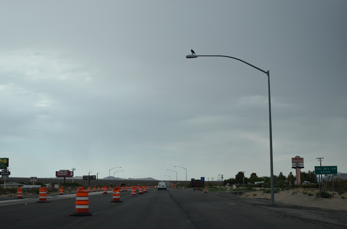
Sitting at an elevation of 2,550 feet above sea level, the unincorporated community of Cal-Nev-Ari had a population of 278 as of the 2000 Census and just 144 as of the 2020 Census.
07/07/18
Kidwell Airport (1L4) is located just west of U.S. 95 at Cal Nev Ari.
07/07/18
U.S. 95 expands into a divided highway south just ahead of Piute Wash.
02/21/10
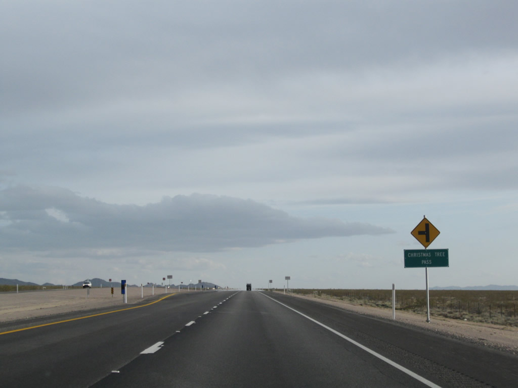
Christmas Tree Pass road stems east from U.S. 95 to Christmas Tree Pass and Grapevine Canyon in the Newberry Mountains.
02/21/10
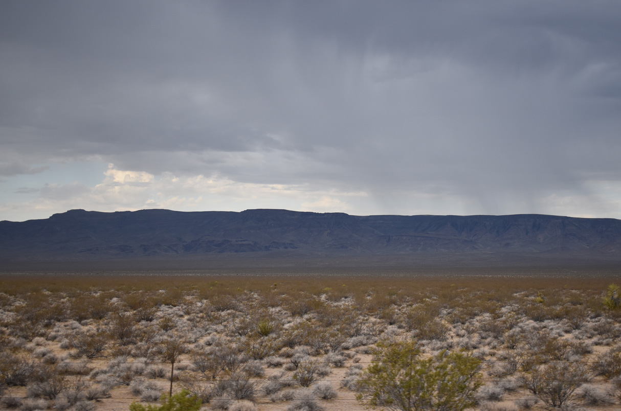
Looking west at the Piute Range in San Bernardino County, California.
07/07/18
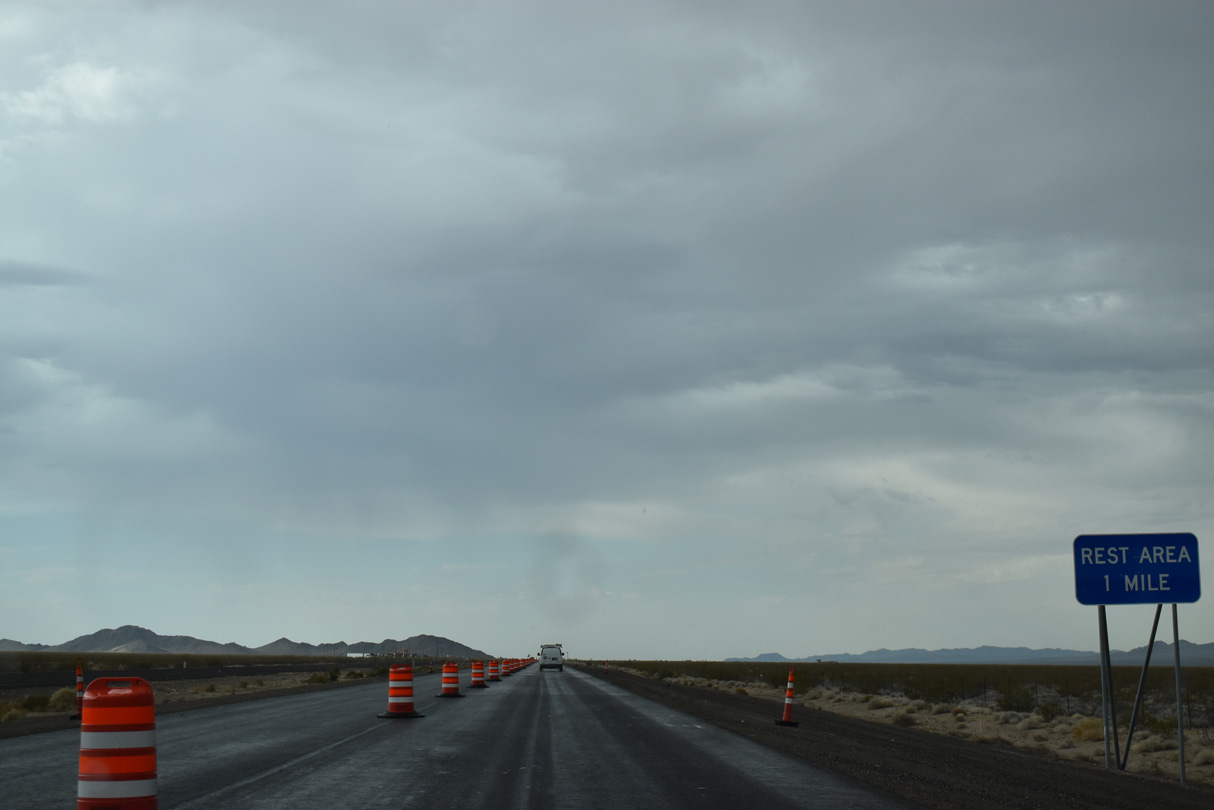
The Southern Nevada Rest Area lines the east side of U.S. 95 between Clark County mileposts 4 and 3.
07/07/18
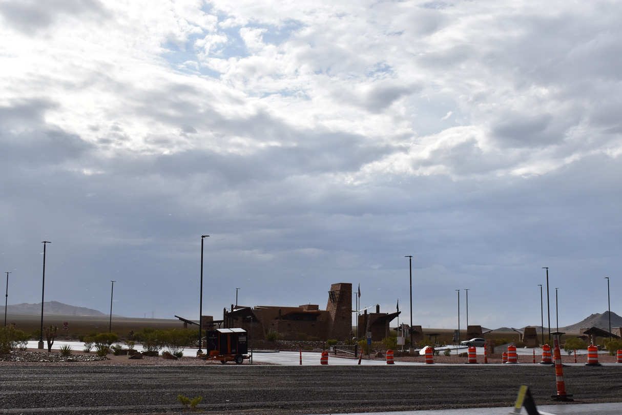
The Southern Nevada Rest Area is home to the Southern Nevada Visitor Center.
07/07/18
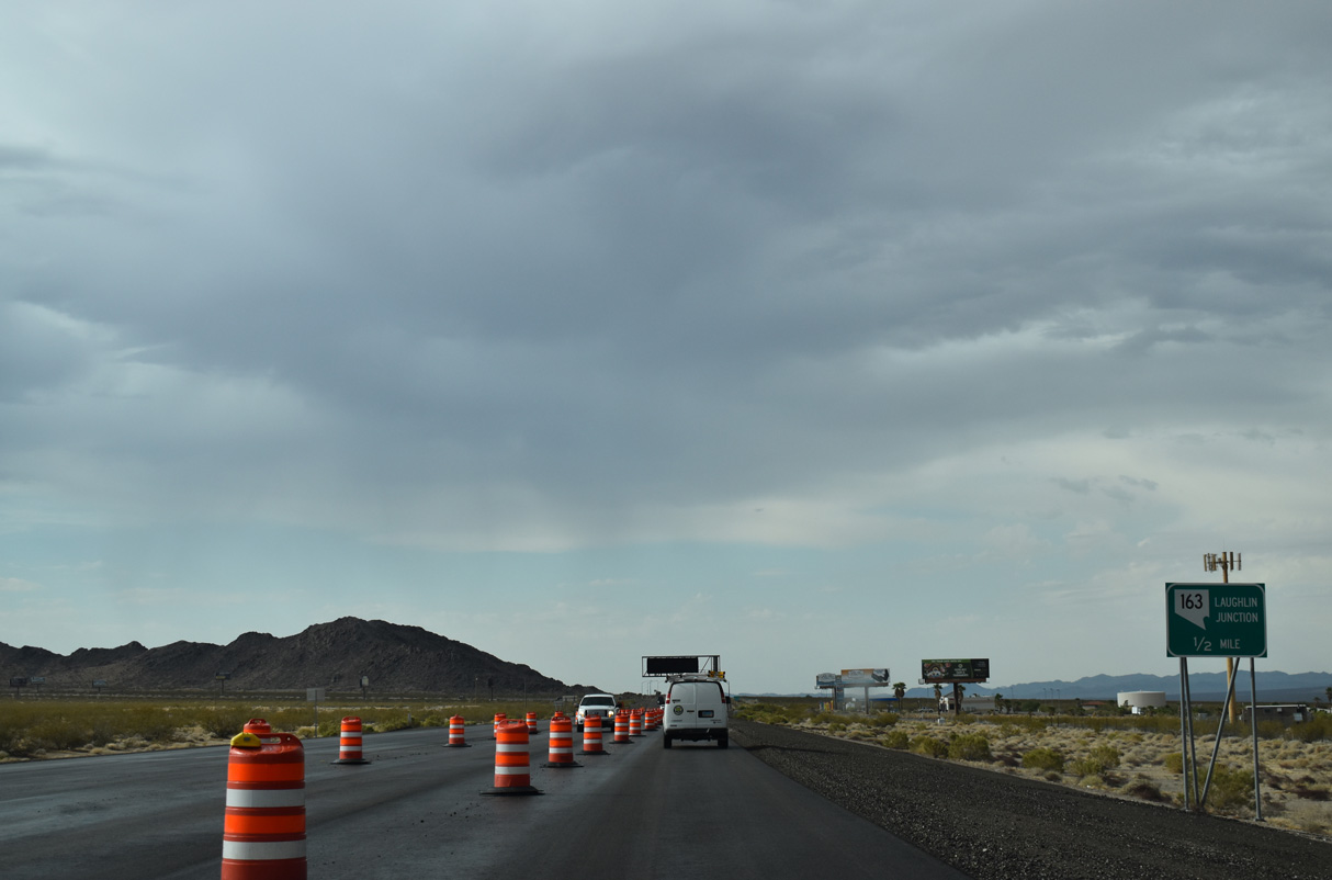
U.S. 95 intersects SR 163 (Laughlin Highway) east to Laughlin just south of the unincorporated community of Palm Gardens.
07/07/18
SR 164 (Laughlin Highway) travels 9.47 miles to the west urban limit of Laughlin and 19.25 miles to become Arizona State Route 95 across the Colorado River.
07/07/18
Arizona State Route 95 links Laughlin Highway with SR 68 east to U.S. 93 near Kingman and Bullhead Parkway in Bullhead City.
07/07/18
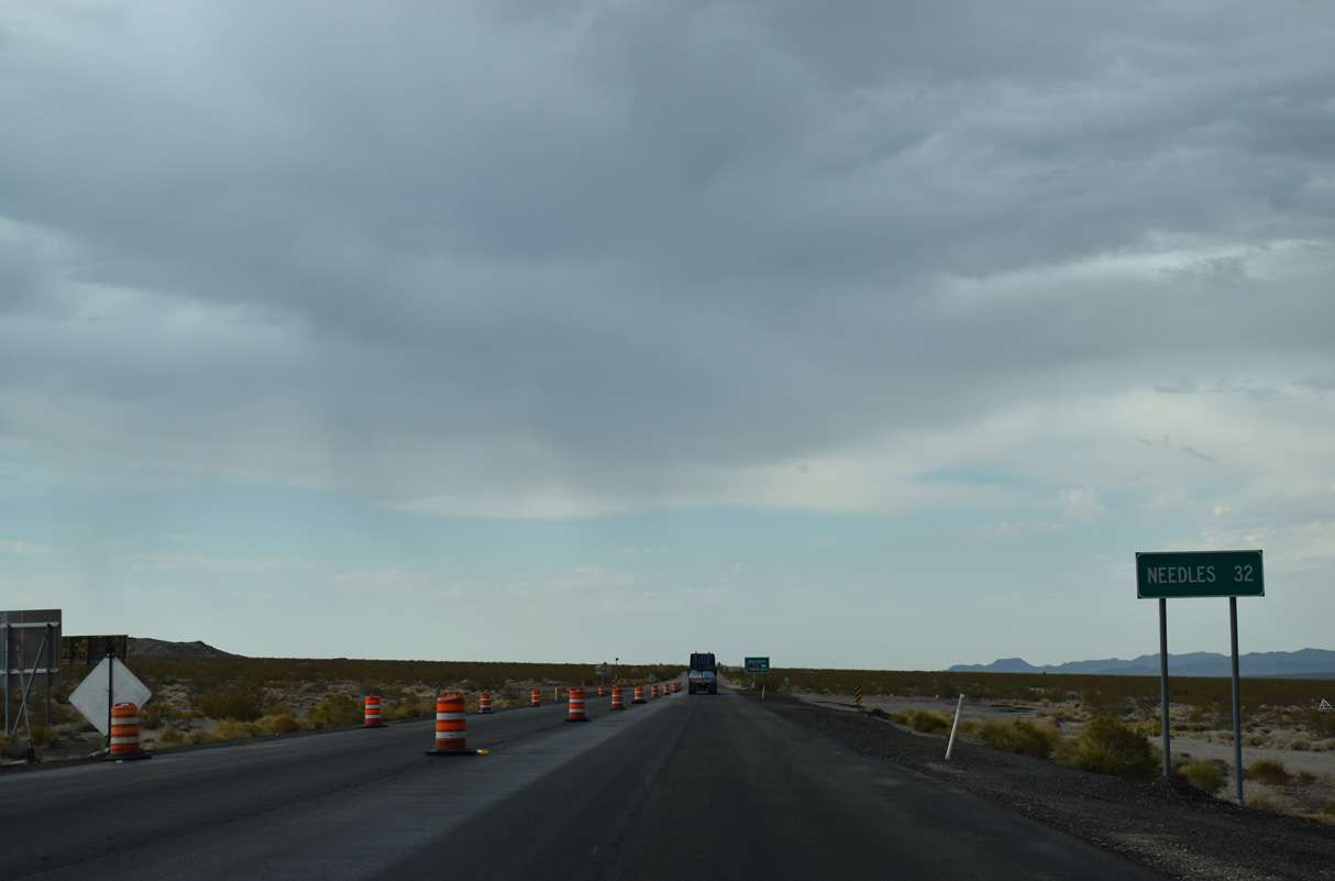
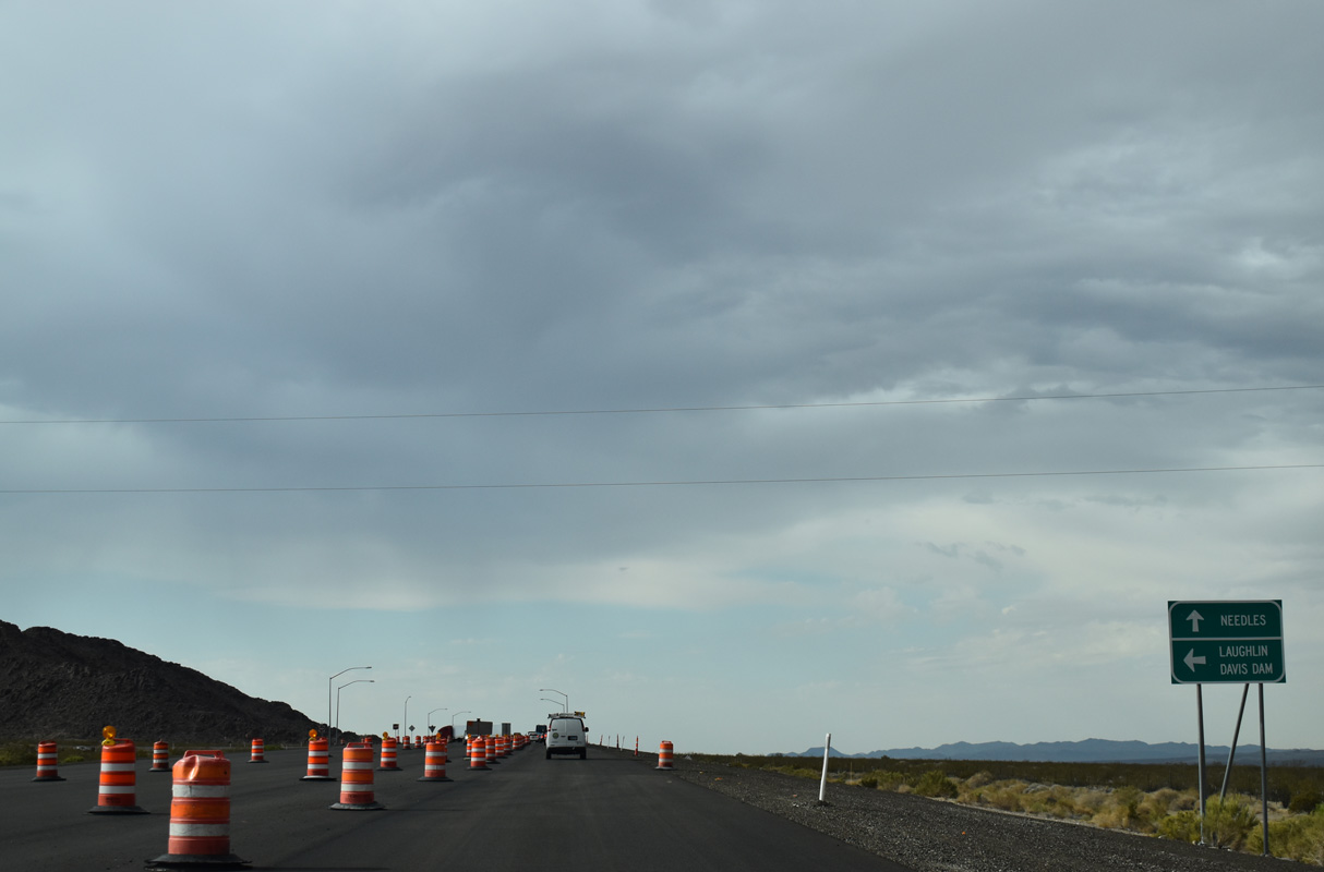
Needles, California is 32 miles to the south along the Interstate 40 corridor.
07/07/18
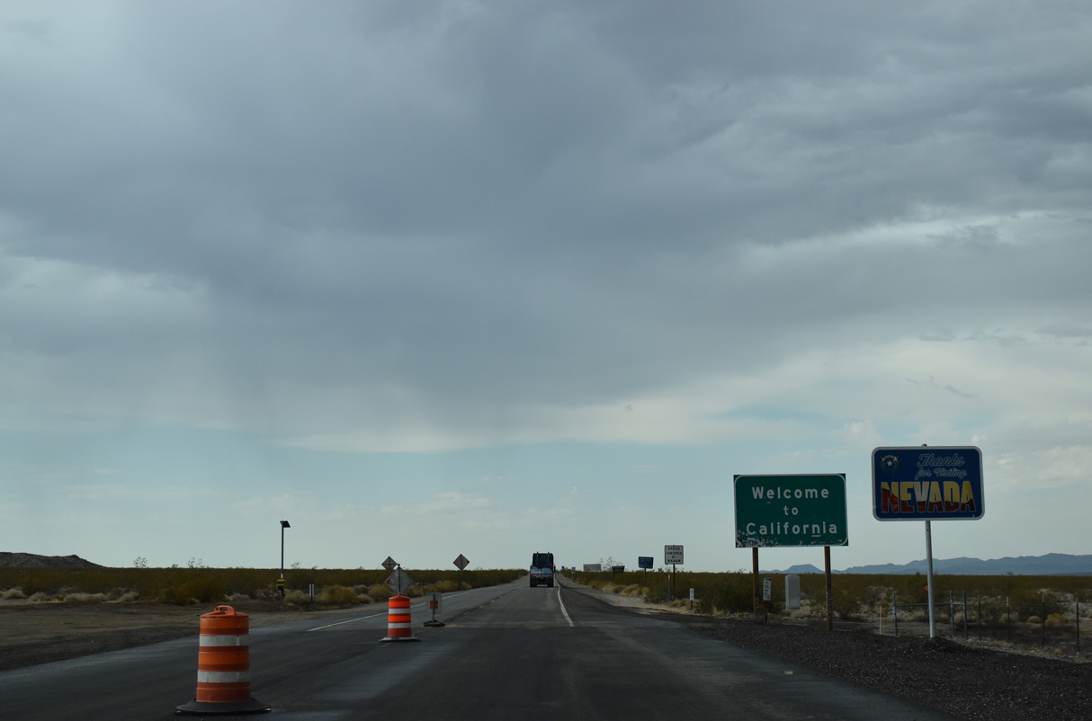
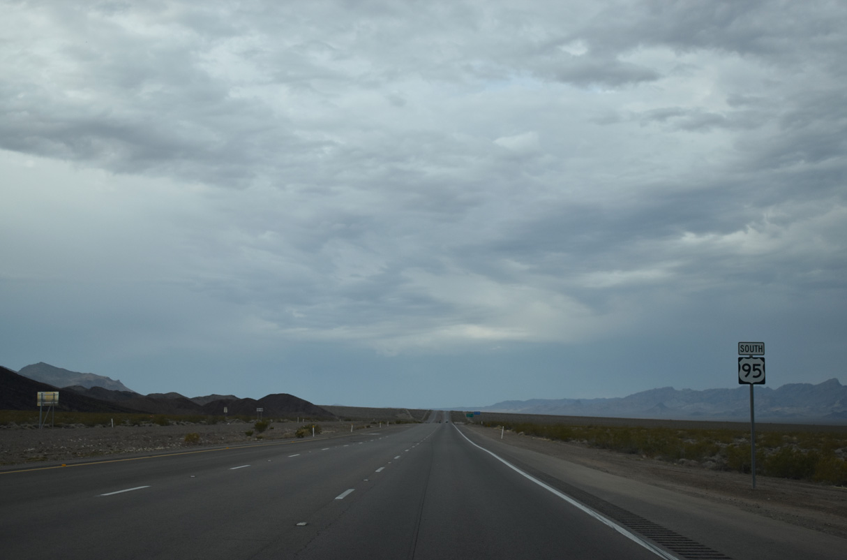
U.S. 95 reduces to two lanes leading south to the California state line.
07/07/18
Photo Credits:
- ABRoads: 10/20/25
- Brent Ivy: 07/07/18
- Andy Field: 04/22/06, 02/21/10
Connect with:
Page Updated Monday February 09, 2026.