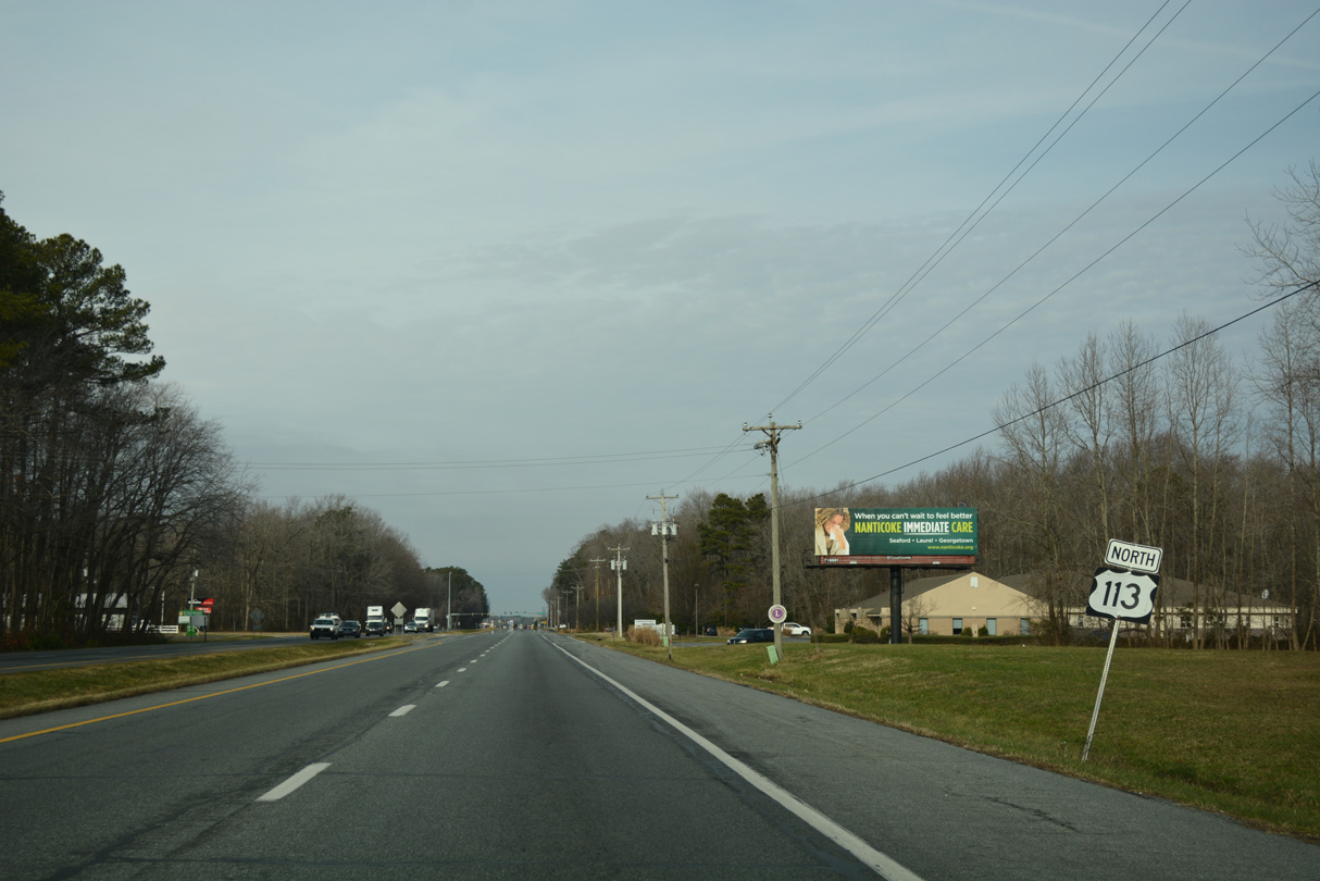
U.S. 113 North

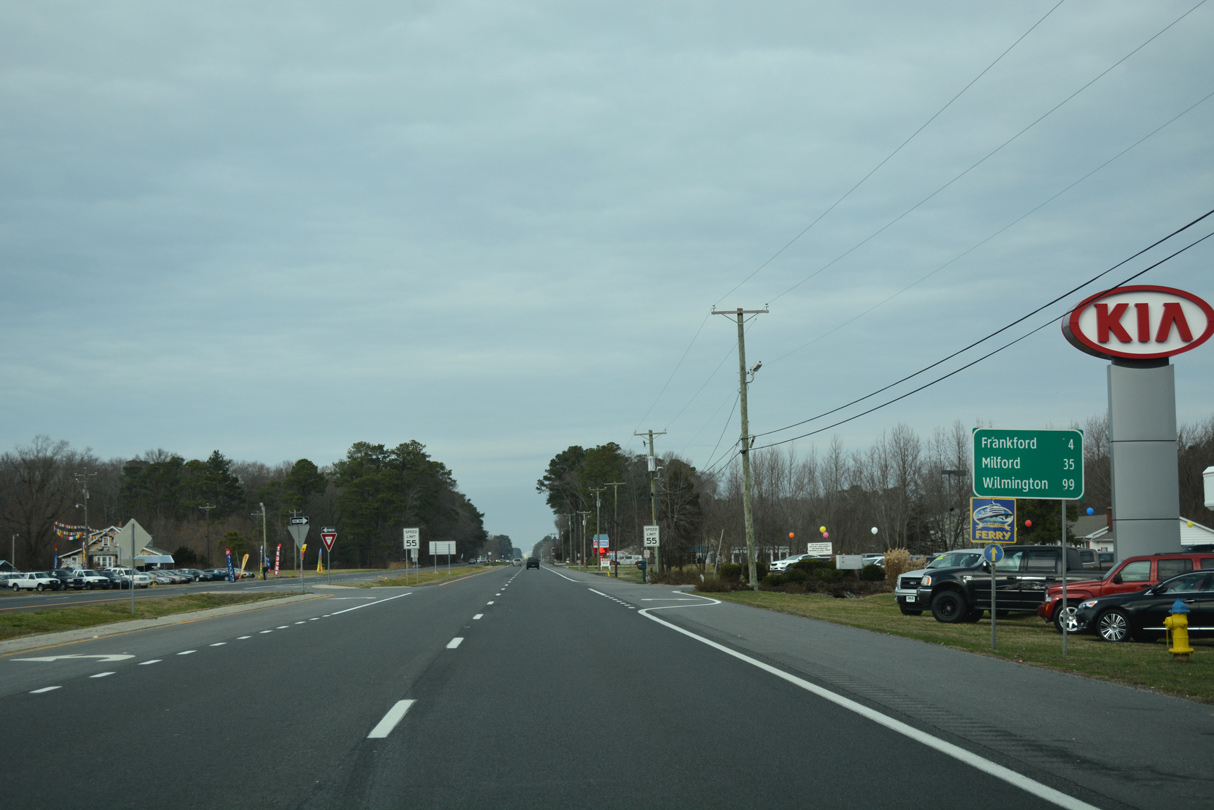
Advancing north from SR 54 (Cemetery Road) in Selbyville, U.S. 113 travels four miles to Frankford and 35 miles to Milford. Wilmington is a 99 mile drive via U.S. 113, SR 1 and U.S. 13 (Dupont Highway).
01/16/17
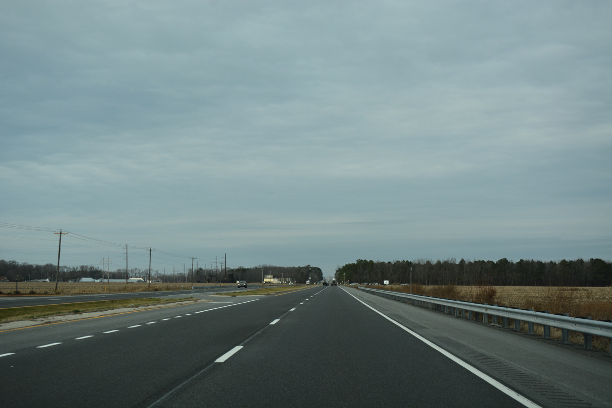
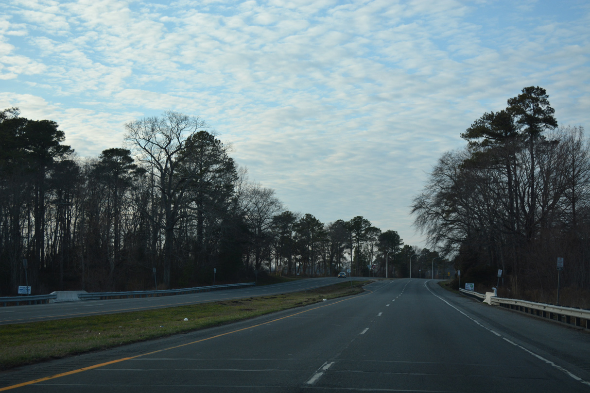
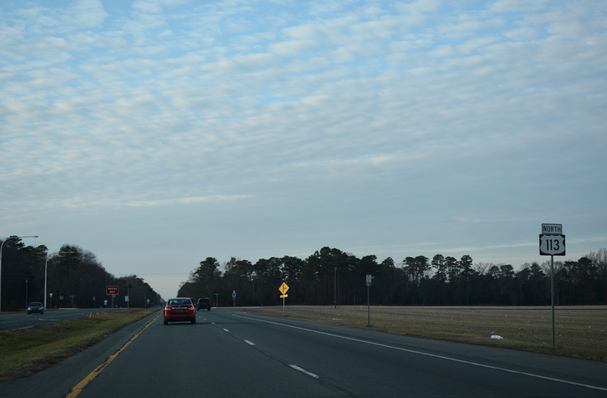
Open farm land spreads west from U.S. 113 toward Cypress Swamp midway between Selbyville and Frankford.
01/16/17
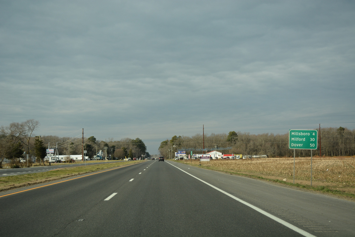
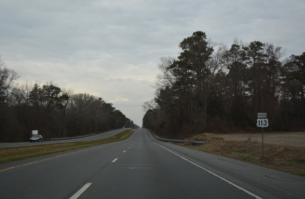
U.S. 113 bypasses Frankford along the western town line between Dover and Hickory Streets. Five miles into the First State, U.S. 113 next reaches Millsboro in four miles, while the northern end is located 32 miles away in Milford.
01/16/17
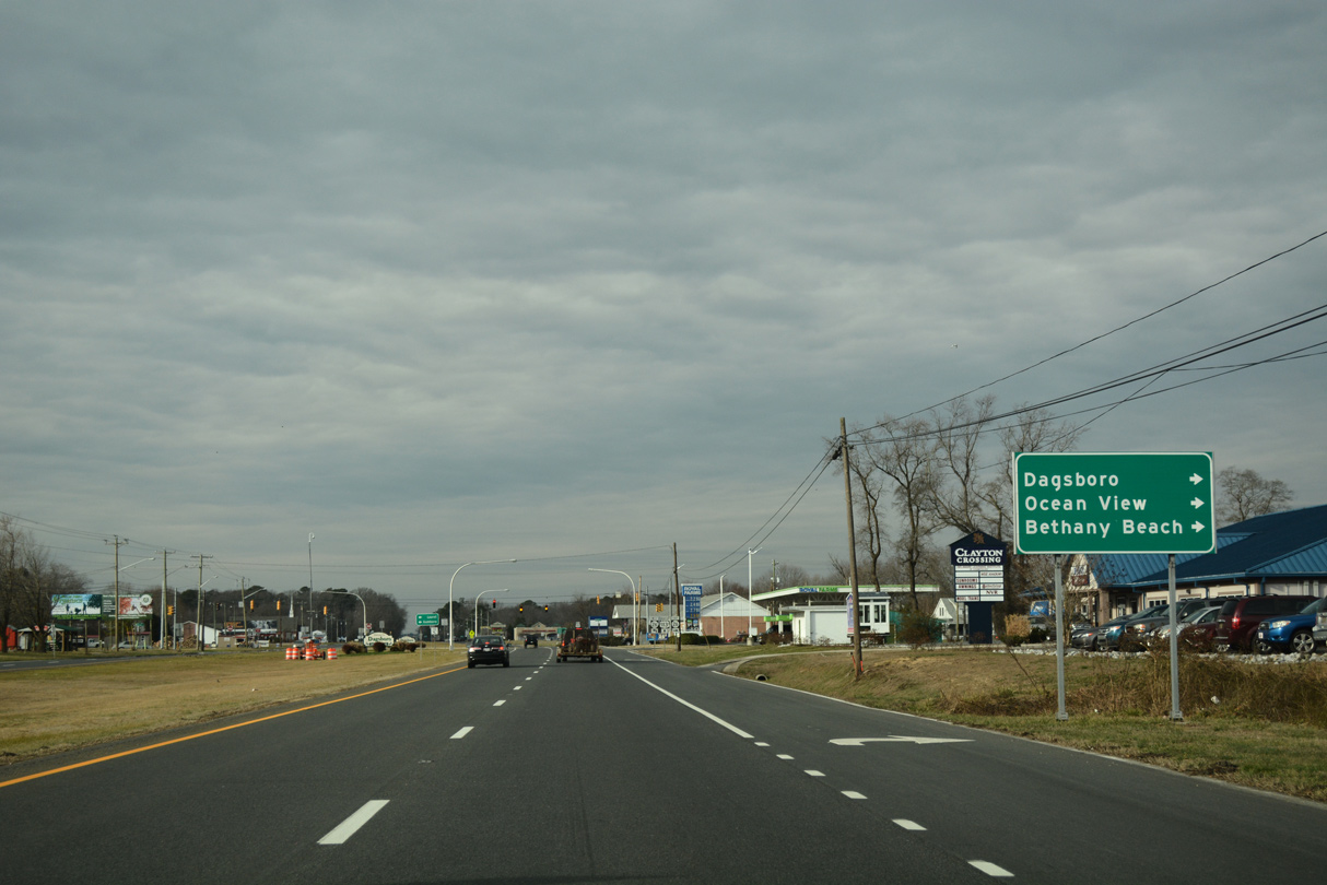
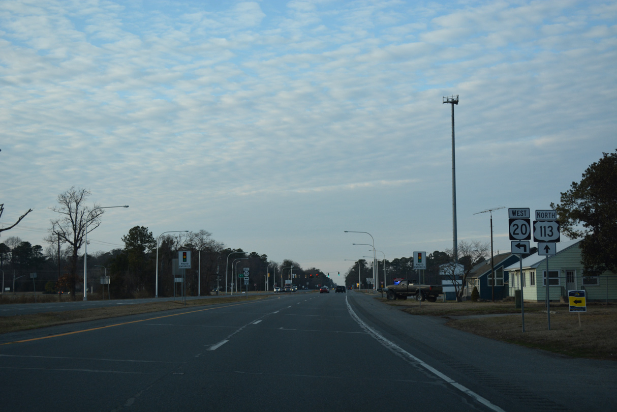
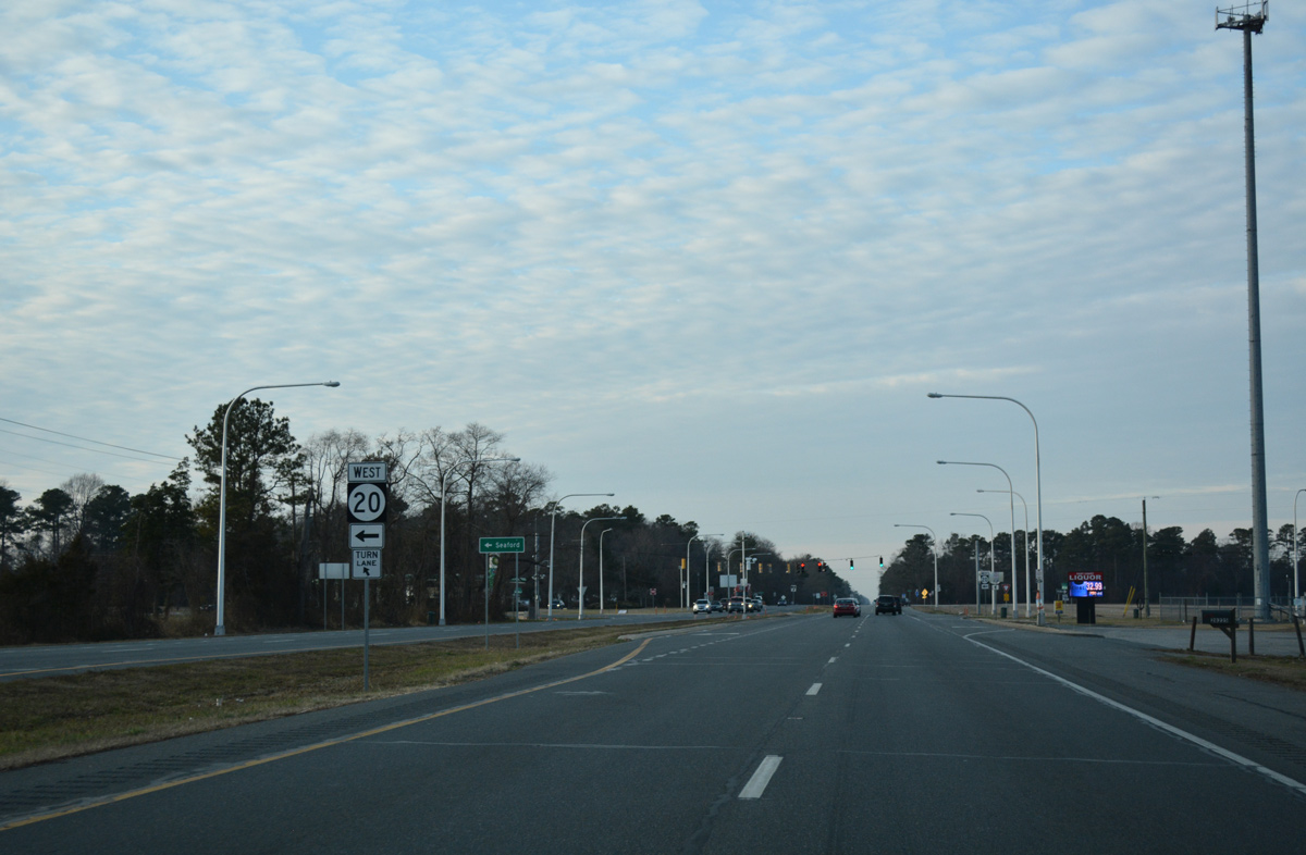
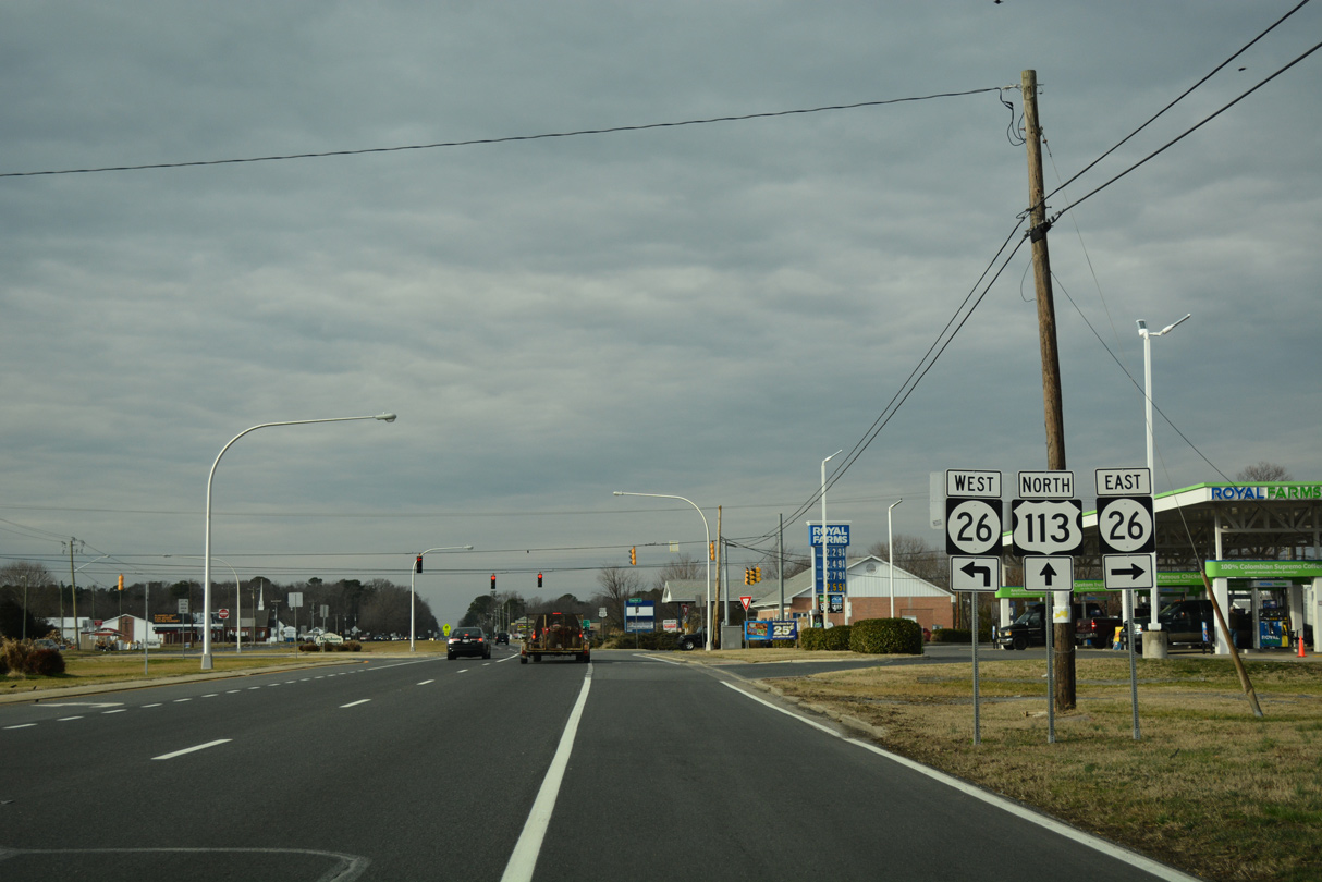
SR 26 provides the second route east from U.S. 113 to the southern Delaware Beaches. Beyond a short overlap with SR 20, SR 26 continues to the towns of Millsboro and Ocean View to SR 1 in Bethany Beach.
01/16/17
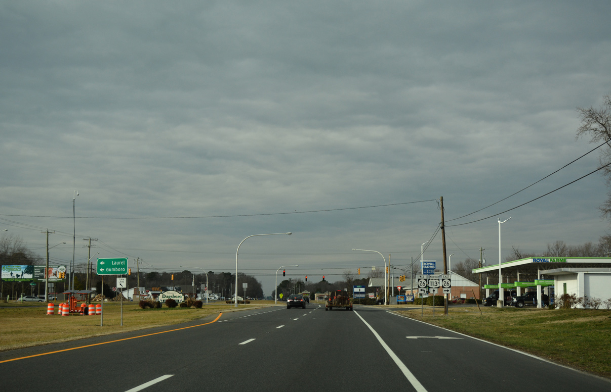
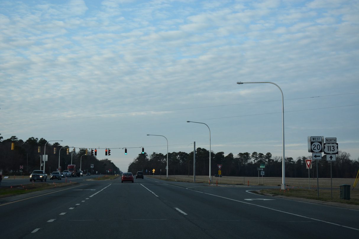
Nine Foot Road leads SR 26 west along a rural route 5.60 miles to Millsboro Highway (former SR 30) south to Gumboro. SR 24 branches west from old SR 30 near Gumboro to Laurel.
01/16/17
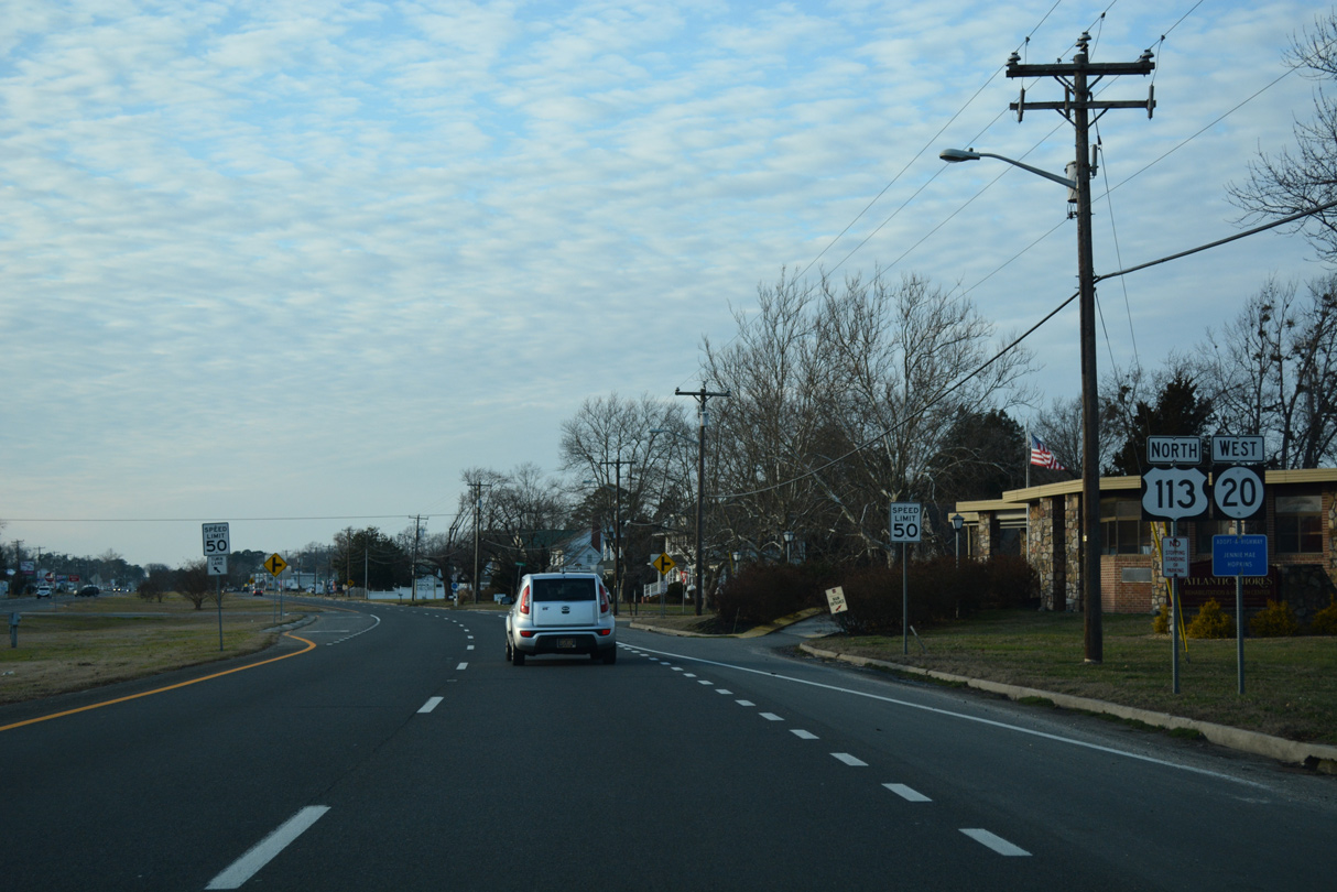
Town Centre Boulevard intersects U.S. 113/SR 20 (Dupont Boulevard) east from Handy Road at Peninsula Crossing shopping center.
06/18/12
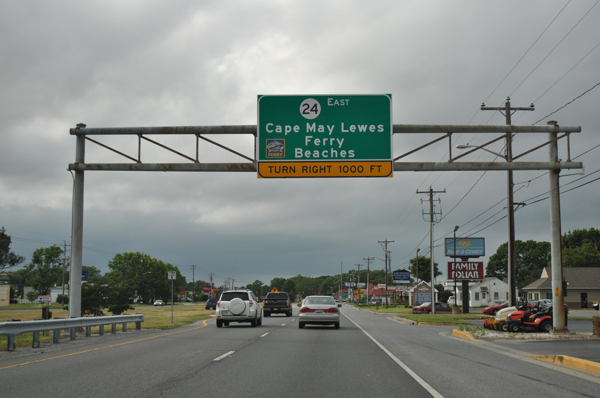
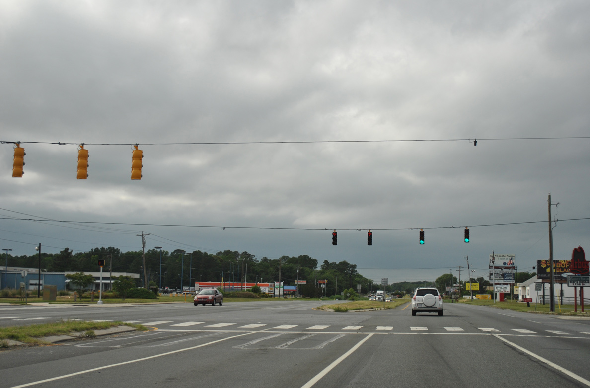
U.S. 113/SR 20 (Dupont Boulevard) advance north to the intersection with SR 24 (Laurel Road) and SR 24 Business (Washington Street) in the town of Millsboro. SR 24 comprises one of several cross county routes joining the Eastern Shore of Maryland with the Atlantic Beaches. The state route straddles western reaches of Indian River Bay and Rehoboth Bay to SR 1 near Rehoboth Beach.
06/18/12
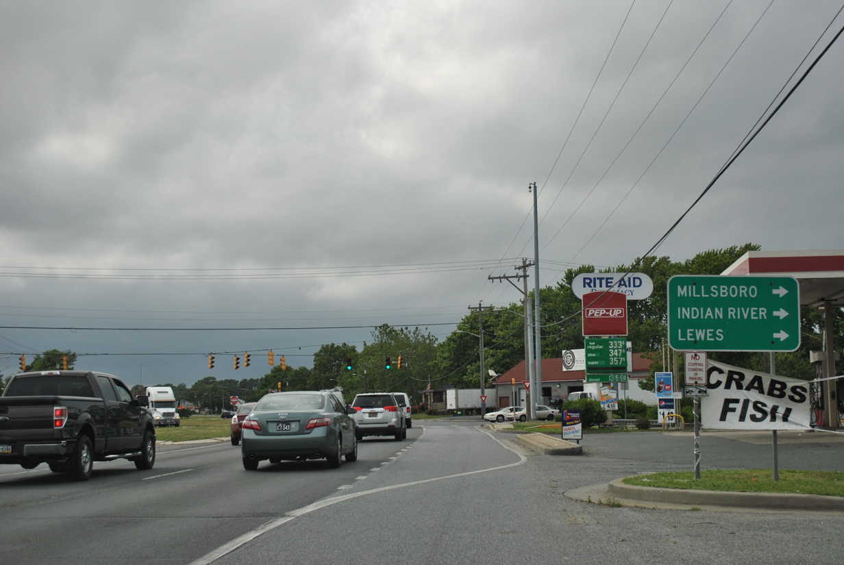
Prior to Summer 2022, SR 30 overlapped with SR 24 east from Mission to Millsboro. SR 30 branches north from SR 24 Business beyond the Indian River toward Milford while SR 24 Business rejoins SR 24 at the east end of the North Millsboro Bypass.
06/18/12
SR 20 west and SR 24 east part ways with U.S. 113 (Dupont Boulevard) north at a parclo B2 interchange (Exit 12) with the North Millsboro Bypass in one mile. Construction of the bypass taking SR 24 east to John J. Williams Highway replaced what was a signalized intersection with Hardscrabble and Betts Pond Roads.
12/27/25
SR 24 circumvents Downtown Milton along the North Millsboro Bypass east to SR 1 at Midway. SR 1 runs southeast from Lewes to Rehoboth Beach and Dewey Beach.
12/27/25
Prior to 1991, SR 20 began along Hardscrabble Road west from U.S. 113. The rural highway travels 16 miles from Exit 12 to U.S. 13 outside Blades. SR 24 along the North Millsboro Bypass opened to traffic east to SR 24 Business on September 26, 2025.
12/27/25
Betts Pond Road ties into the ramp (Exit 12) taking SR 20 west and SR 24 east with the North Millsboro Bypass from State Street in Millsboro to the southeast. SR 20 provides one of three routes from the Delaware Beaches to U.S. 13 for the MSR 404 corridor leading west to U.S. 50 and the Chesapeake Bay Bridge.
12/27/25
U.S. 113 crosses an area of woodlands and Sheep Pen Ditch beyond the North Millsboro Bypass.
12/27/25
25 miles of U.S. 113 remain north to SR 1 at Milford. Construction broke ground on a 30-acre site along the west side of U.S. 113 by this distance sign for the TidalHealth Millsboro campus on July 25, 2025 (Shull, 2025).
12/27/25
Avenue of Honor (Rd 86) stems 0.85 miles east from a signalized intersection with U.S. 113 to Patriots Way (Rd 318) by Sussex Central High School.
12/27/25
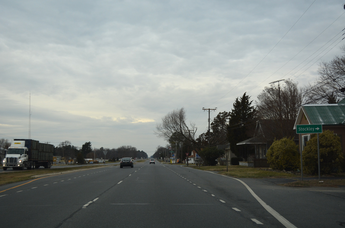
Governor Stockley Road curves northeast from SR 20 (Hardscrabble Road) to the settlement of Stockley and Cedar Lane east of U.S. 113. Traffic lights were added at U.S. 113 and Governor Stockley Road (Rd 432) in 2023.
12/27/25
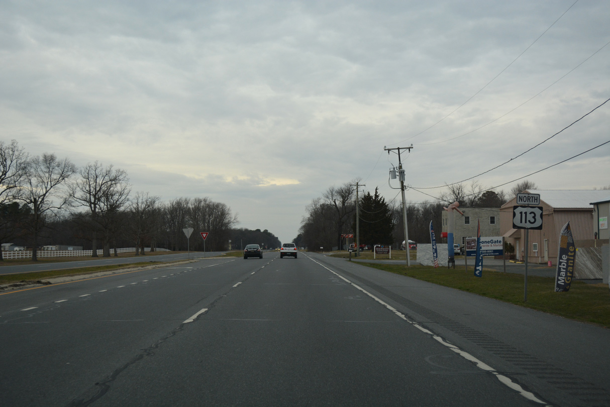
Northbound U.S. 113 continues past Governor Stockley Road to cross Horse Pound Swamp Ditch. This confirming marker was removed by 2018.
01/16/17
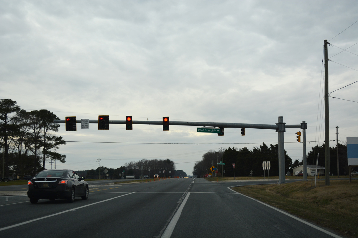
A traffic light operates at U.S. 113, Kruger Road south and Woods Branch Road north by Georgetown Speedway. Woods Branch Road (Rd 321) connects U.S. 113 north with Speedway Road (Rd 325) east to Zoar Road, both of which were formerly signed as SR 24 Alternate.
12/27/25
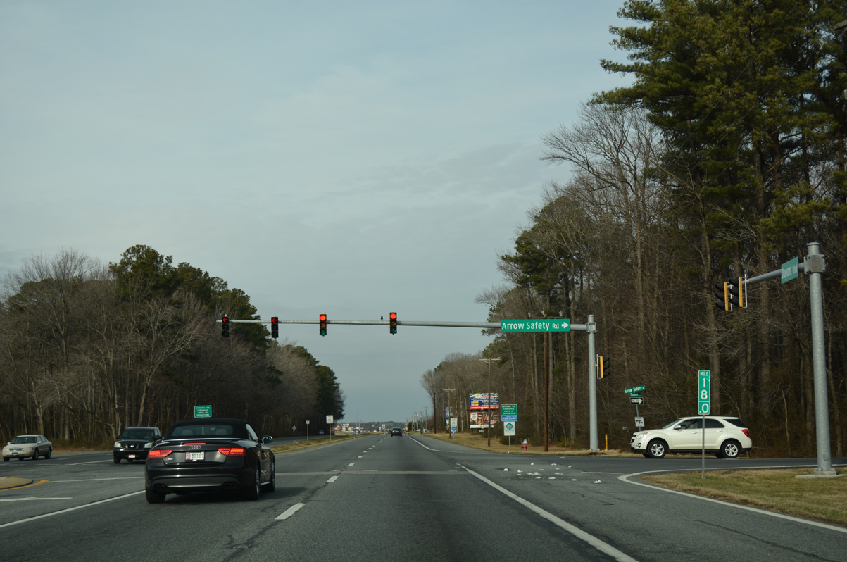
The U.S. 9 Truck bypass route around Georgetown was realigned off forthcoming S Bedford Street (Rd 431) and onto Arrow Safety Road to the north in 2024.
12/27/25
S Bedford Street heads 1.94 miles north from U.S. 113 (Dupont BOulevard) at Shortly Road to Georgetown Circle where U.S. 9, SR 18 and SR 404 come together in Downtown Georgetown.
12/27/25
Shortly Road (Rd 431) runs 9.18 miles south from U.S. 113 and S Bedford Street to SR 24 (Millsboro Highway) at Mission.
12/27/25
North from S Bedford Street, U.S. 113 follows the Georgetown town limits before formally entering the Sussex County seat at Arrow Safety Road.
12/27/25
U.S. 9 Truck follows Arrow Safety Road 0.47 miles east from U.S. 113 (Dupont Boulevard) to a roundabout with S Bedford Street and Park Avenue.
12/27/25
U.S. 9 Truck bypasses Georgetown to the south along Park Avenue east from S Bedford Street 3.47 miles back to U.S. 9.
12/27/25
Although not marked along U.S. 113, U.S. 9 Truck follows Dupont Boulevard 0.9 miles north from Arrow Safety Road to U.S. 9 (County Seat Highway). U.S. 9 travels 11.9 miles southwest to U.S. 13 in the town of Laurel.
12/27/25
Northeast from U.S. 113 (Dupont Boulevard), U.S. 9 follows W Market Street to the Georgetown Circle (SR 18/404) in Downtown Georgetown. U.S. 9 travels 17.1 miles to the Cape May-Lewes Ferry terminal.
12/27/25
An erroneous shield for State Route 9 posted in place of U.S. 9 west. Future road work builds a grade separated intersection at U.S. 9/113.
12/27/25
U.S. 113 (Dupont Boulevard) continues north from U.S. 9 along a commercialized stretch to SR 18/404 (Bridgeville Road).
12/27/25
SR 404 is part of a multi state highway with MD 404 joining U.S. 50 near Wye Mills with the Delaware Beaches. SR 18 overlaps with SR 404 west from U.S. 9 in Georgetown 10.29 miles to Cannon Road east of Bridgeville.
12/27/25
SR 18/404 (Bridgeville Road) arc southeast from U.S. 113 onto N Bedford Street to the Georgetown Circle with U.S. 9. SR 18 ends there while SR 404 combines with U.S. 9 east to SR 1 (Coastal Highway) at Five Points.
12/27/25
Construction on the US 113 @ SR 18/SR 404 (Georgetown) Grade Separated Intersection project got underway in Fall 2025. Work through Spring 2028 replaces the signalized intersection between the three routes with a parclo B2 interchange.
12/27/25
College Park Drive ties into U.S. 113 (Dupont Boulevard) just north of SR 18/404 from the College Park retail area.
12/27/25
N Bedford Street (Rd 114) converges with U.S. 113 at the north Georgetown line. This reassurance marker follows ahead of Wilson Hill Road (Rd 527) west.
12/27/25
Wilson Road (Rd 244) stems 2.80 miles east from a signalized intersection with U.S. 113 to Sand Hill Road (Rd 319).
12/27/25
E Redden Road and Deer Forest Road (Rd 565) come together at U.S. 113 and Redden Crossroads.
12/27/25
Redden Road (Rd 40) travels 9.59 miles west from U.S. 113 to U.S. 13 Business at Bridgeville. Redden Road west to U.S. 13 and MSR 404 connects with U.S. 50 west to the Chesapeake Bay Bridge in 58 miles. A distance sign posted nearby references the bridge at just 54 miles.
12/27/25
Dover is 31 miles away via U.S. 113, SR 1 and Bay Road (old U.S. 13). Wilmington is 77 miles following U.S. 13 north from Dover but 80 miles via SR 1 to Interstate 95, the much faster route.
12/27/25
U.S. 113 passes between tracts of Redden State Forest north ahead of SR 16 (Beach Highway) near the town of Ellendale.
12/27/25
SR 16 runs east across Ellendale en route to Milton and Broadkill Beach on Delaware Bay. Forming a multi state route with MD 16, SR 16 west from U.S. 113 heads to Greenwood and Adamsville.
12/27/25
Johnson Road (Rd 207) travels 3.85 miles east from U.S. 113 through the community of Lincoln to SR 1 and the south side of Milford. Fitzgeralds Road continues Rd 207 west from Johnson Road 2.20 miles to SR 36 (Shawnee Road).
12/27/25
Serving adjacent retail, traffic lights were added along U.S. 113 (Dupont Boulevard) at Cypress Hall Boulevard west in 2012. The intersection was expanded in 2025/26 with Simpson Avenue east into the Simpsons Crossing development.
12/27/25
SR 36 (Shawnee Road) angles northeast from SR 16 outside Greenwood to U.S. 113 at Lakeview Avenue in Milford.
12/27/25
SR 36 continues northeast along Lakeview Avenue and Causey Avenue into Downtown Milford. The state route spurs east from SR 1 to Cedar Beach along Delaware Bay.
12/27/25
Overall SR 36 stretches 23.28 miles across Sussex County between SR 404 at Scotts Corner and Bay Avenue at Cedar Beach.
12/27/25
Old Shawnee Road (Rd 619) branches 1.63 miles north from SR 36 (Shawnee Road) to Kings Highway (Rd 94) adjacent to this signalized intersection on U.S. 113 (Dupont Boulevard).
12/27/25
U.S. 113 crosses the waterway linking adjacent Haven Lake with nearby Silver Lake ahead of SR 14 (NW Front Street).
12/27/25
19.12 miles in length, SR 14 runs west from Milford to MD 317 along the state line at Burrsville.
12/27/25
West from U.S. 113 (Dupont Boulevard), SR 14 (Milford Harrington Highway) passes north of the town of Houston en route to the city of Harrington.
12/27/25
SR 14 follows NW/NE Front Street to the north of Downtown Milford east to SR 1 along the Milford Bypass.
12/27/25
U.S. 113 leads away from SR 14 (NW Front Street) along Dupont Boulevard northbound in Milford. SR 14 Truck follows U.S. 113 north to SR 1 (Bay Road).
04/13/04
References:
Shull, B. (2025, August 4). TidalHealth breaks ground on Millsboro campus. Cape Gazette. https://www.capegazette.com/article/tidalhealth-breaks-ground-millsboro-campus/294207
Photo Credits:
- Alex Nitzman: 04/13/04, 06/18/12, 01/15/17, 01/16/17, 12/27/25
- AARoads: 08/05/07
Connect with:
Page Updated Wednesday January 14, 2026.