
U.S. 113 South

 South
South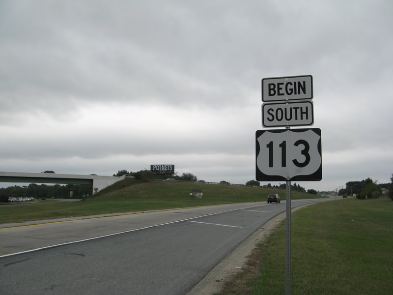
A begin U.S. 113 shield assembly stands alongside the southbound off-ramp to Dupont Boulevard from SR 1 (Bay Road) south.
08/05/07
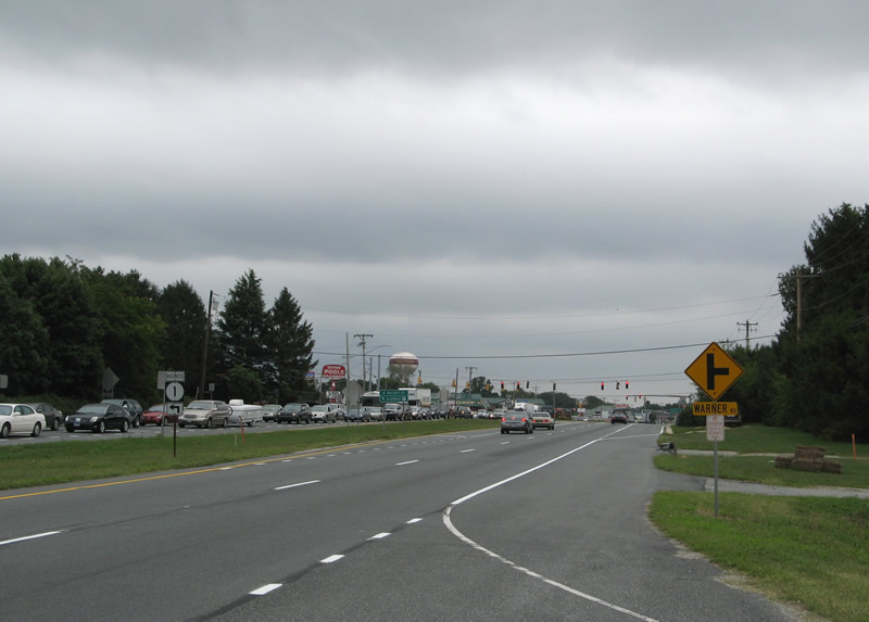
U.S. 113/SR 1 Business briefly overlap along DuPont Boulevard between SR 1 and the intersection with Warner Road. SR 1 Business branches southeast along Walnut Street, across from Warner Road, to Milford High School and Rehoboth Boulevard.
08/05/07

U.S. 113 quickly transitions into a commercial strip from SR 1 Business (Walnut Street) southward to SR 14 (Northeast Front Street). Interests to Downtown Milford should take Walnut Street south from its partition with SR 1 Business (Rehoboth Boulevard) or remain on U.S. 113 south to SR 14 east.
08/05/07
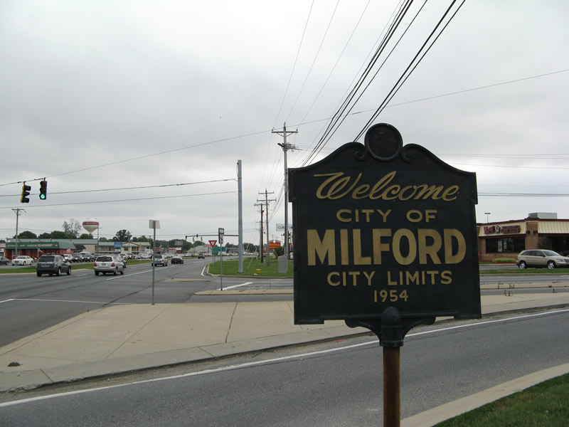
Erected in 1954, a pair of iron Welcome to Milford city signs are posted at the U.S. 113/SR 1 Business (DuPont Boulevard) intersection with Warner Road. Milford incorporated in 1807 and was originally settled in 1680 by settler Henry Bowan as the Saw Mill Range.1 The city limits now extend northward to Swan Creek along SR 1.
08/05/07
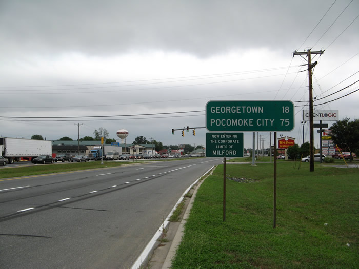
Distance sign referencing Georgetown, the Sussex County seat and Pocomoke City, Maryland, the southern terminus.
08/05/07
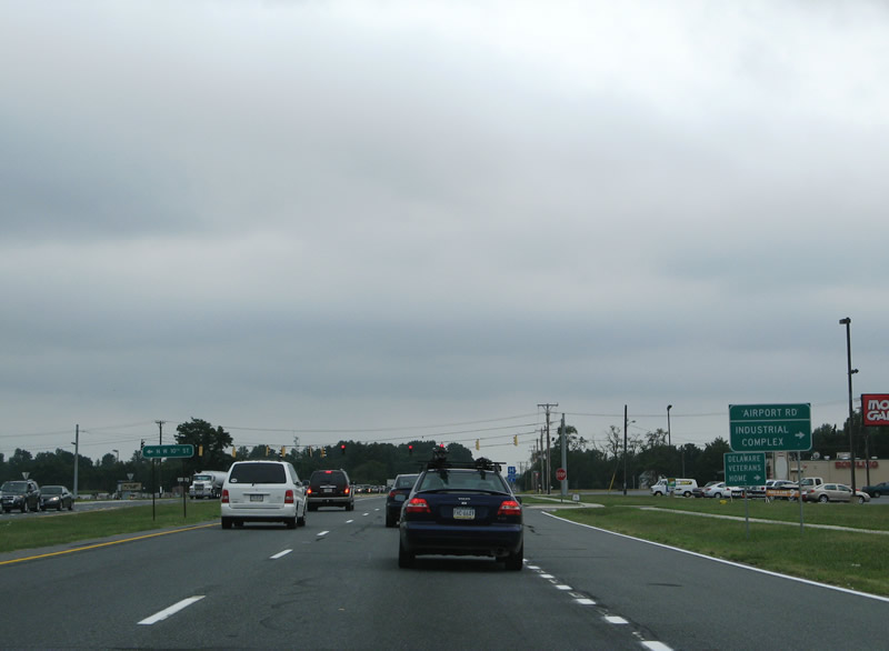
Southbound at the intersection of Airport Road west and Northeast 10th Street east. Airport Road links U.S. 113 (DuPont Boulevard) with SR 15 (Canterbury Road); Northeast 10th Street heads east to Milford High School, SR 1 (Coastal Highway) and New Wharf Road.
08/05/07
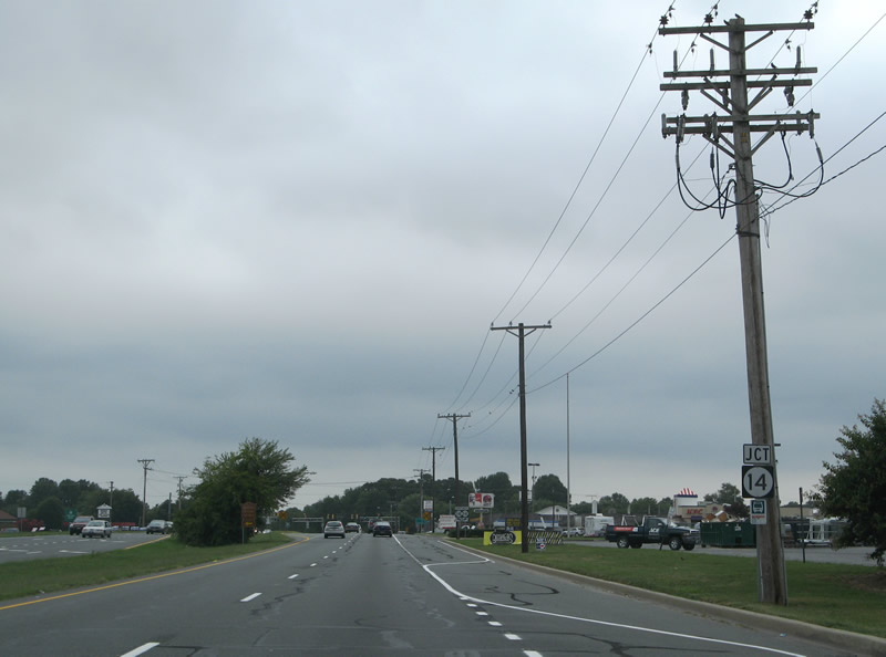
Approaching SR 14 (NW Front Street east / Milford Harrington Highway west) on U.S. 113 (DuPont Boulevard) southbound. SR 14 begins at SR 1 (Milford Bypass) and ventures west through Downtown to DuPont Boulevard.
08/05/07
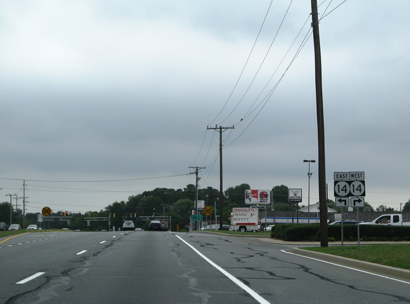
SR 14 continues northwest from U.S. 113 along Milford Harrington Highway to SR 15 (Canterbury Road) and U.S. 13 (DuPont Highway) at Harrington along a rural route.
08/05/07
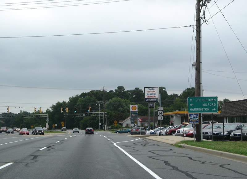
SR 14 shield and guide sign posted ahead of the NW Front Street / Milford Harrington Highway intersection.
08/05/07
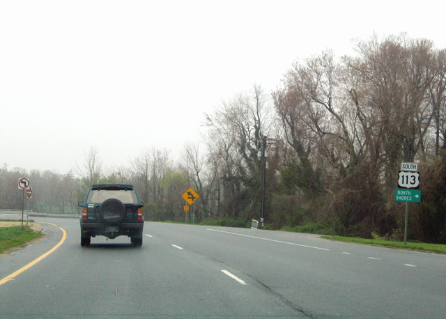
Removed by 2008, this reassurance marker was posted along Dupont Boulevard south of SR 14 at East Lane and the North Shores subdivision.
04/13/04

U.S. 113 crosses the Mispillion River into Sussex County between Haven and Silver Lakes in Milford.
01/16/17
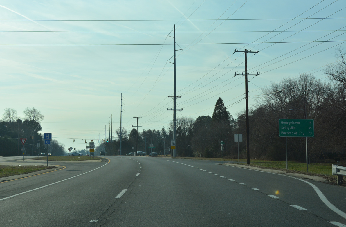
A distance sign for U.S. 113 south stands just south of Haven Lake at Kings Highway. U.S. 113 is less developed through the Sussex County stretch of Milford. The four lane highway continues from the city through rural areas 16 miles to Georgetown.
01/16/17
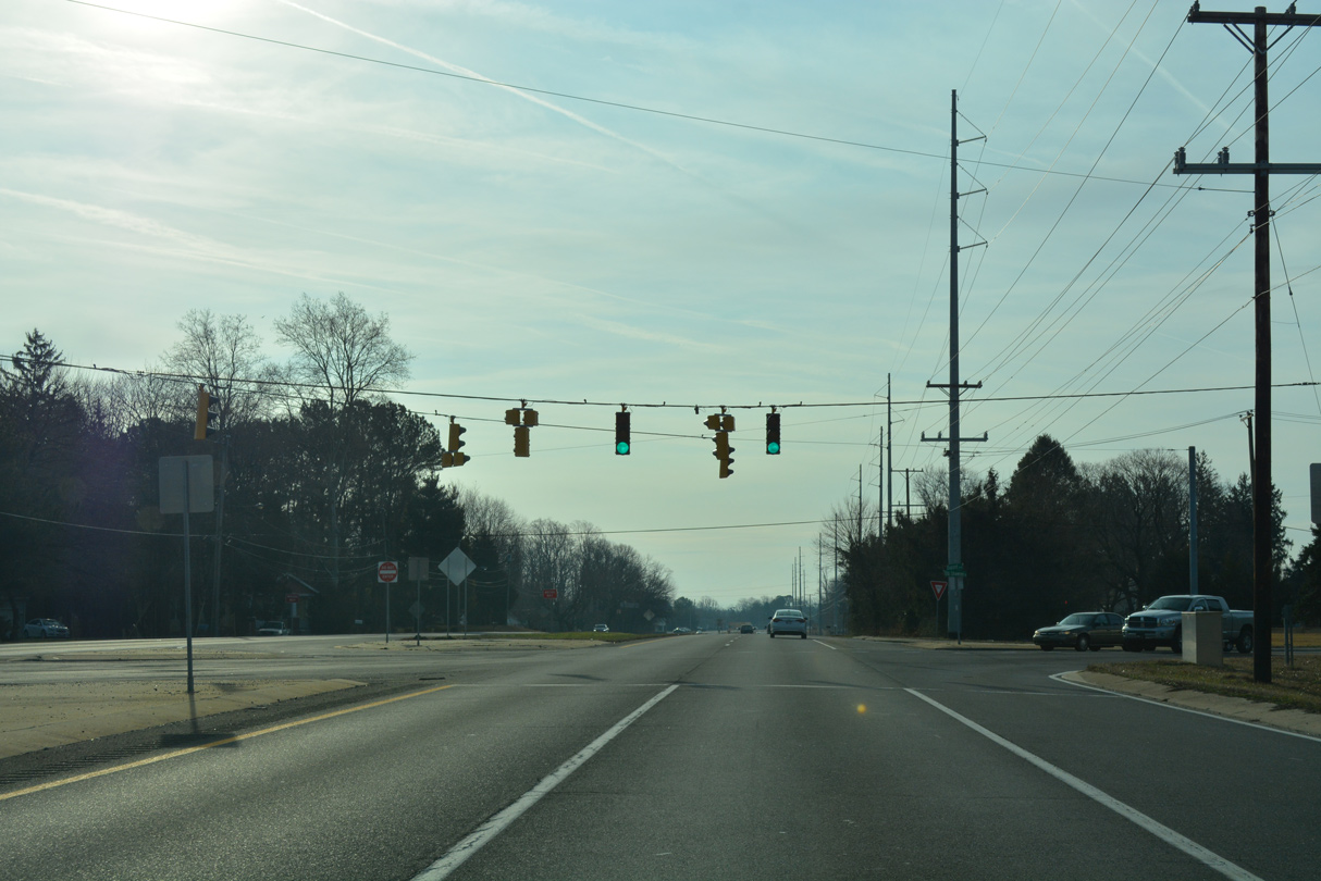
Old Shawnee Road stems south from Kings Highway to cross U.S. 113 (Dupont Boulevard) en route to SR 36 (Shawnee Road) outside Milford.
01/16/17

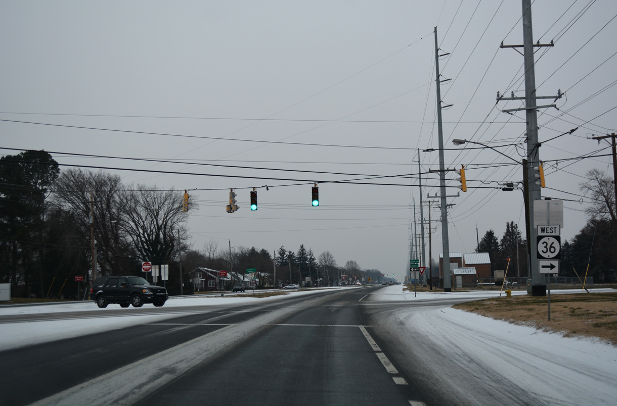
The subsequent traffic light along U.S. 113 south joins Dupont Boulevard with SR 36 (Shawnee Road). SR 36 angles southwest from Milford to combine with SR 16 just east of Greenwood and U.S. 13 (Sussex Highway).
01/16/17
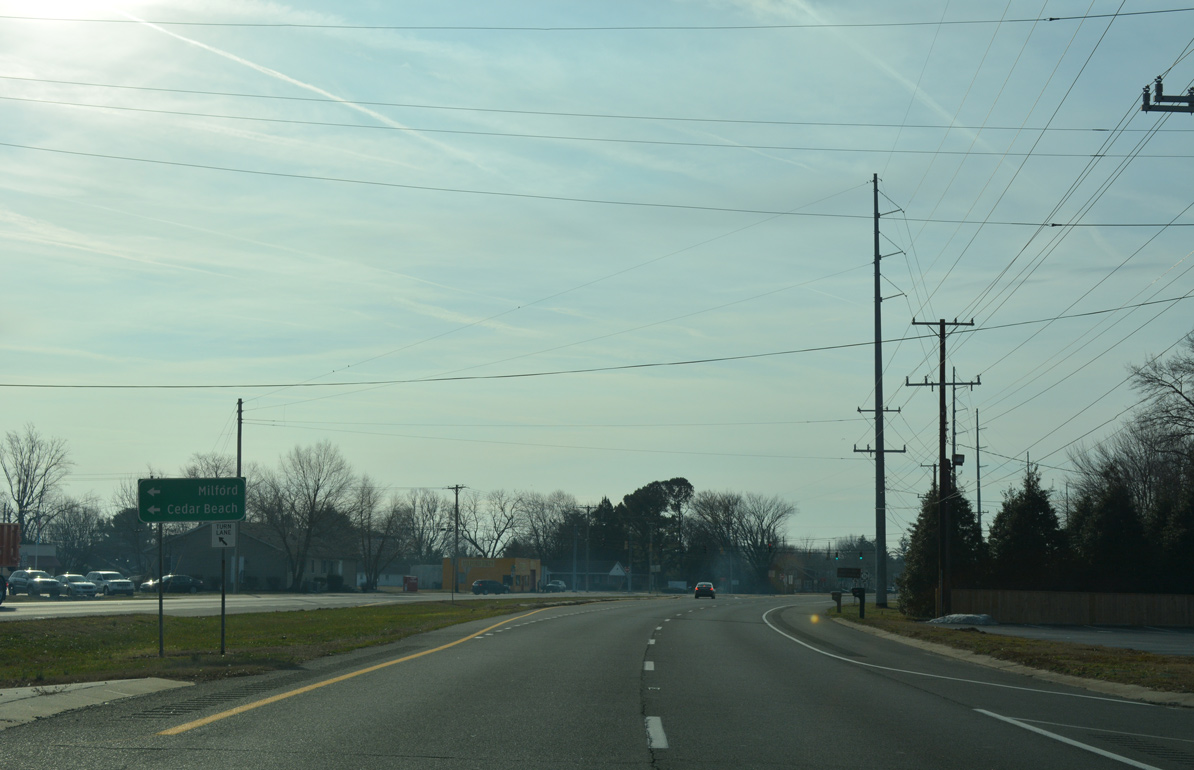
Within Milford SR 36 lines Lakeview Avenue northeast to Causey Avenue and Downtown. The state route spurs east from the city to Cedar Beach off Delaware Bay.
01/16/17
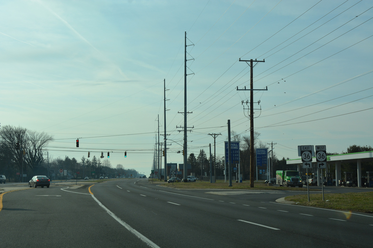
SR 36 overall links Milford with Slaughter Beach to the east and the MSR 404 corridor west of Greenwood.
01/16/17
12/30/17
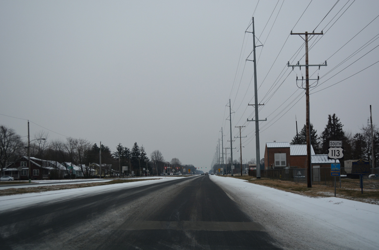
U.S. 113 continues through south Milford from SR 36 by remaining farm land and the Milford Ponds subdivision.
12/30/17
Georgetown lies 12 miles south along U.S. 113 (Dupont Boulevard) from SR 36. Millsboro follows in another ten miles.
12/30/17
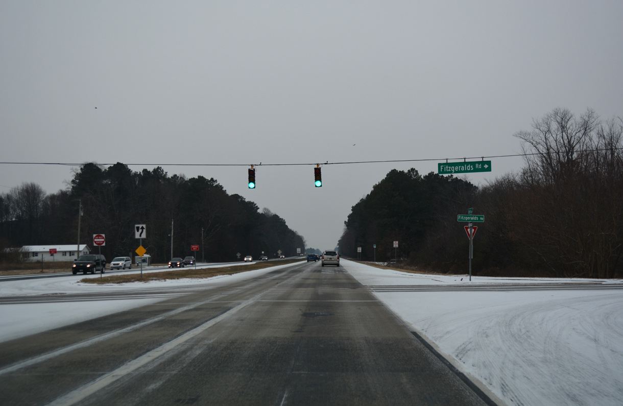
Fitzgeralds Road crosses U.S. 113 west from the unincorporated community of Lincoln.
12/30/17
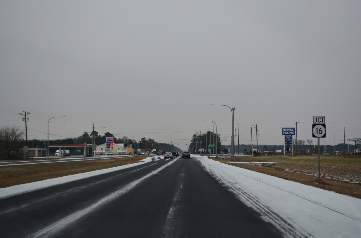
U.S. 113 bee lines south to intersect SR 16 (Beach Highway) just west of the small town of Ellendale.
12/30/17
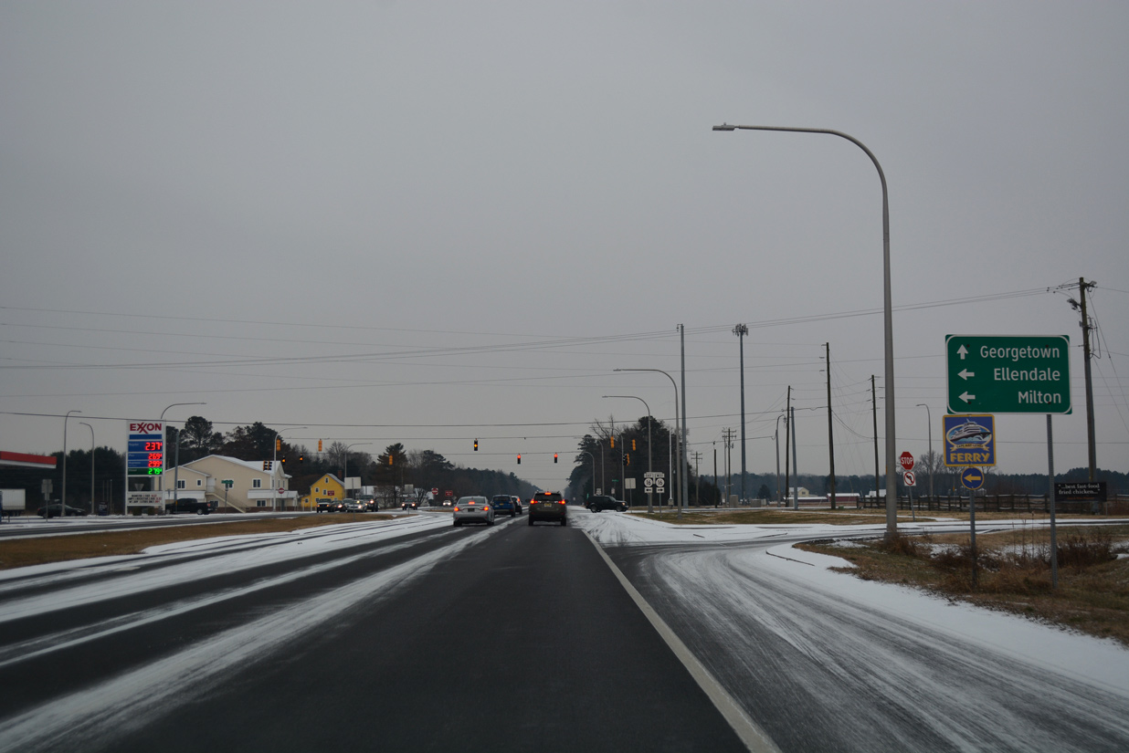
SR 16 travels seven miles east from U.S. 113 to SR 5 in the town of Milton.
12/30/17
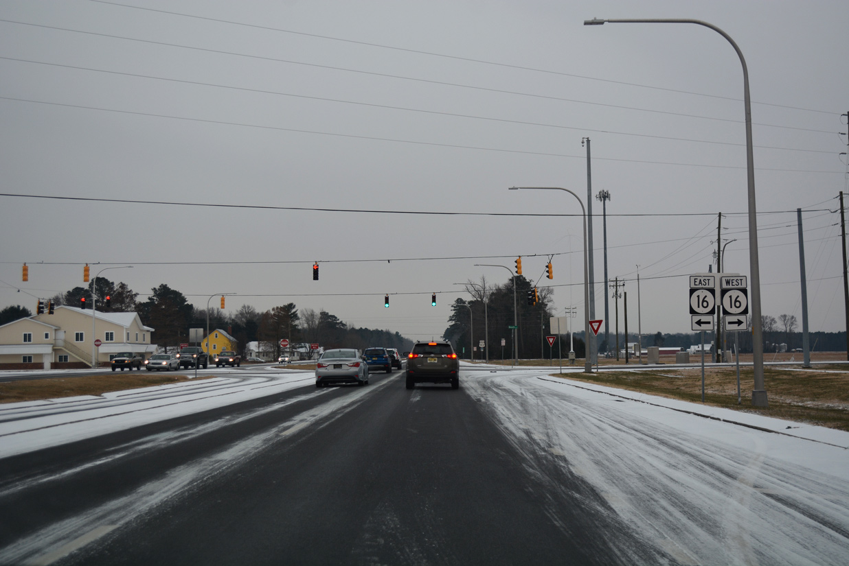
A 30.31 mile long route, SR 16 runs across the width of Sussex County, from Broadkill Beach on Delaware Bay to Greenwood and the Maryland state line with SR 404.
12/30/17
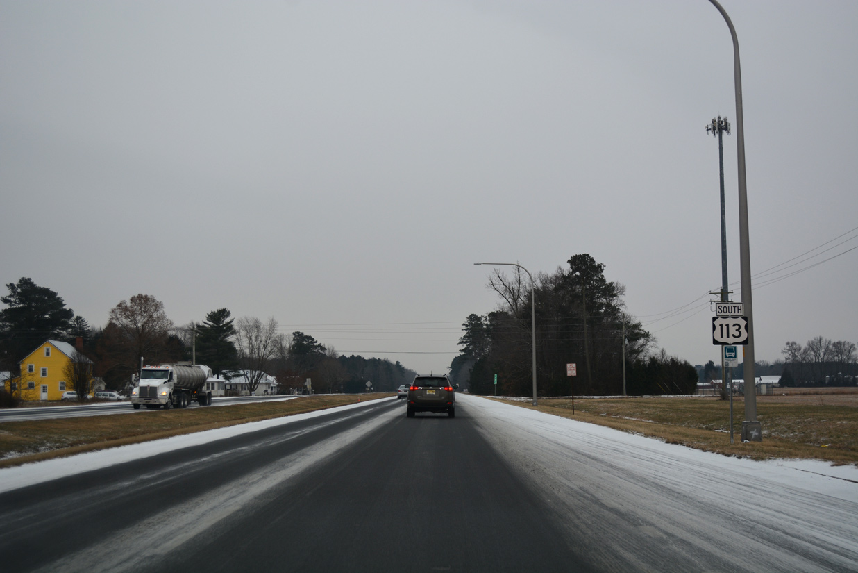
Heading south from Ellendale, U.S. 113 passes through portions of Redden State Forest.
12/30/17
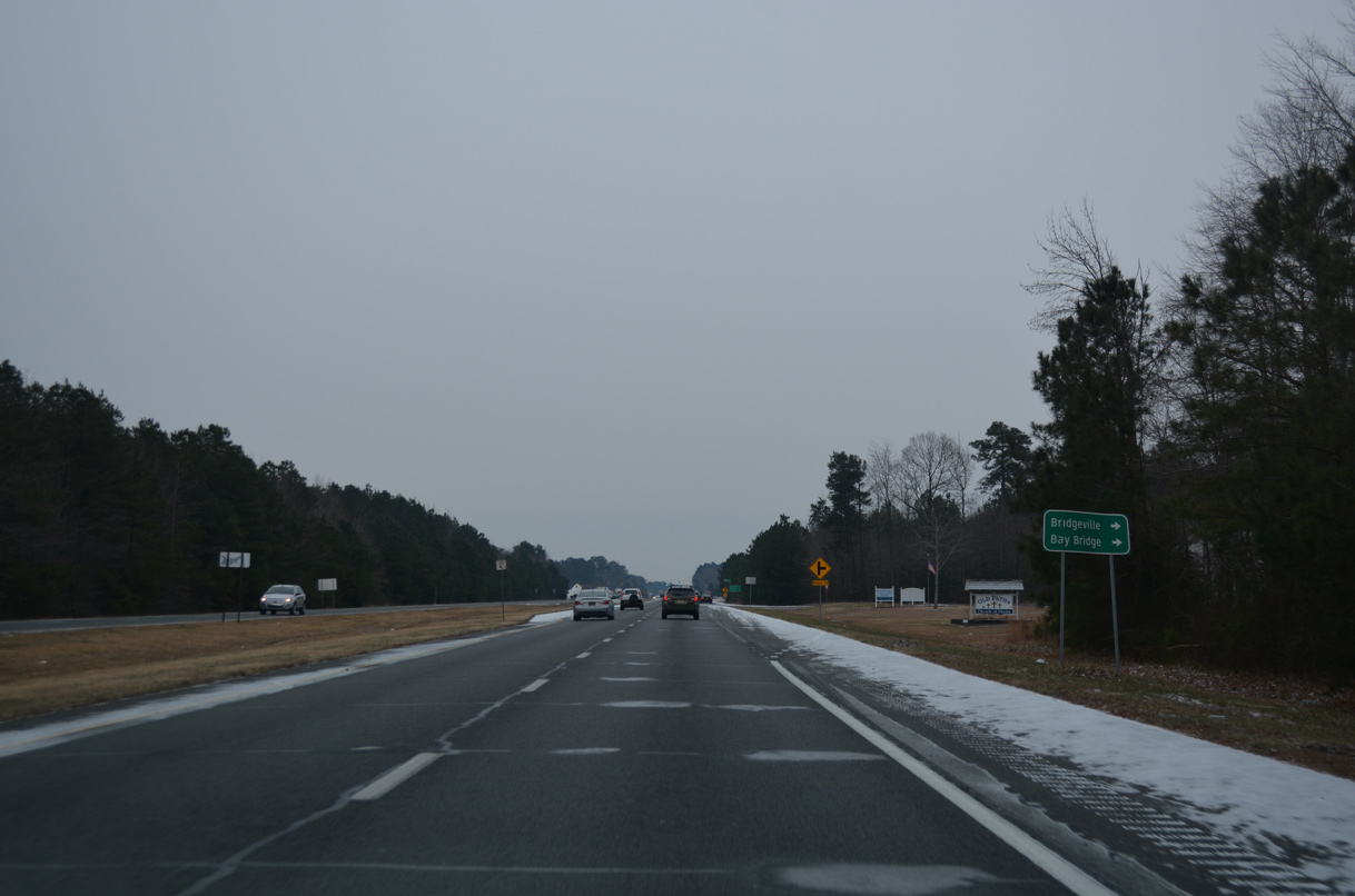
Trending eastward toward Georgetown, U.S. 113 approaches Redden Road west to Bridgeville.
12/30/17
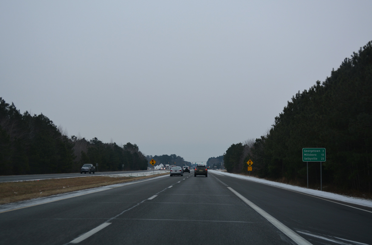
Georgetown lies three miles south of Redden. Selbyville along the Maryland line is a 23 mile drive.
12/30/17
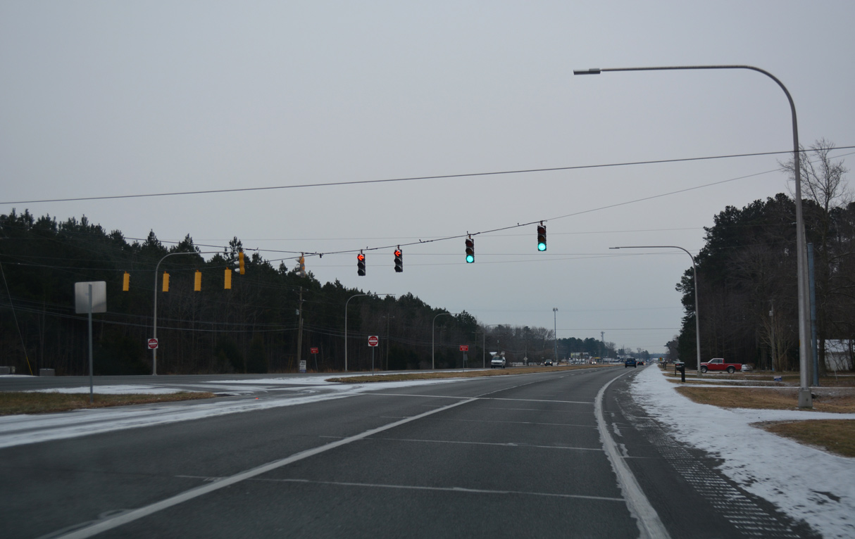
The east branch of Redden Road extends from U.S. 113 (Dupont Boulevard) at the traffic light with Deer Forest Road.
12/30/17

Bedford Street branches east from U.S. 113 (Dupont Boulevard) to SR 18/404 and Downtown Georgetown. Motorists heading to the coast are advised to remain on U.S. 113 south to meet SR 18/404 directly at Bridgeville Road.
12/30/17
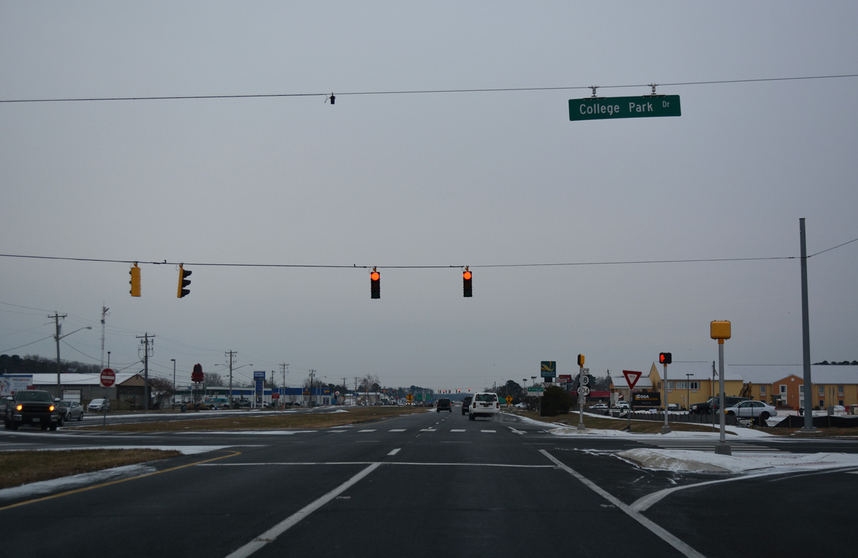
The signal with College Park Lane serves adjacent retail along the west side of U.S. 113.
12/30/17
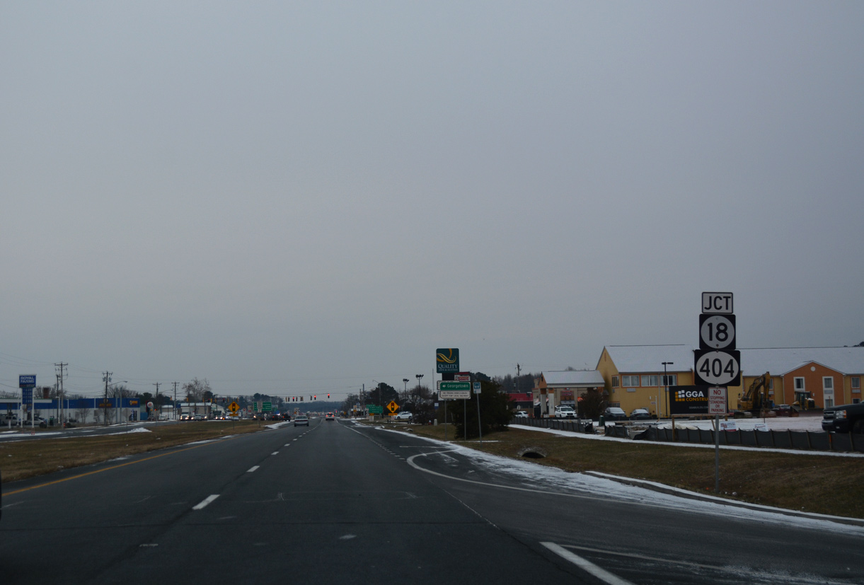
SR 18/404 (Bridgeville Road) intersect U.S. 113 (Dupont Boulevard) east of the Delaware Technical Community College - Georgetown campus.
12/30/17
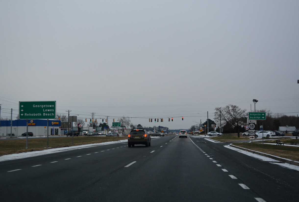
A multi state route with MD 404 west to Denton, SR 404 runs in tandem with SR 18 from outside Bridgeville to U.S. 9 (Market Street) at Downtown Georgetown. SR 404 overlaps with U.S. 9 east to SR 1 at Five Points.
12/30/17
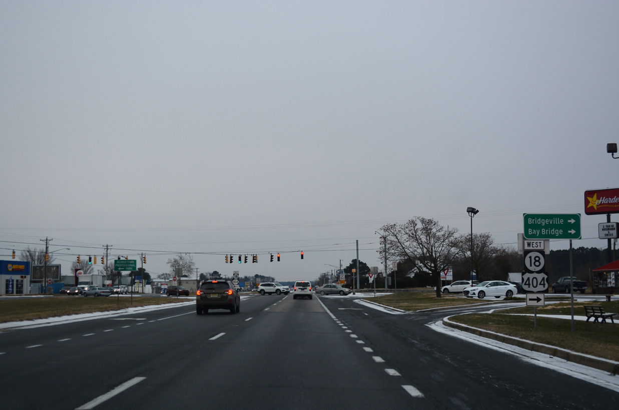
Sign errors occasionally reference SR 404 as U.S. 404. MSR 404 runs 45 miles west from U.S. 113 at Georgetown to U.S. 50 near Wye Mills, Maryland.
12/30/17
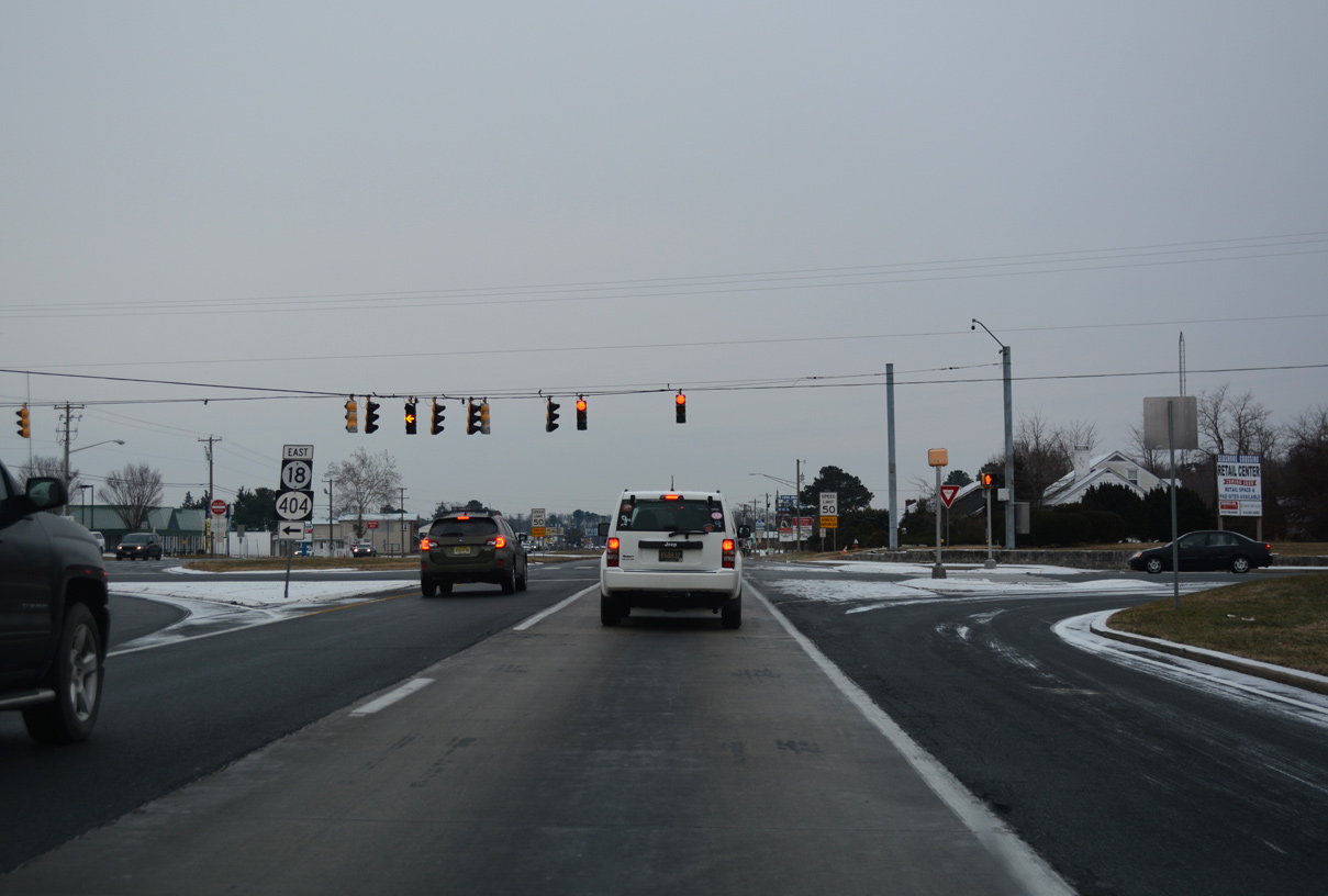
East from U.S. 113, SR 18/404 follows Bedford Street 1.8 miles to Georgetown Circle with U.S. 9. SR 18 ends there.
12/30/17
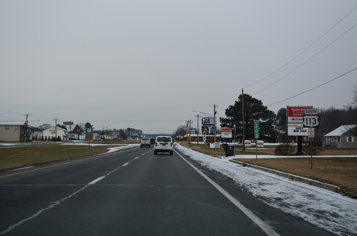
Dupont Boulevard continues south from Bridgeville Road as a commercial arterial along the west side of Georgetown.
12/30/17
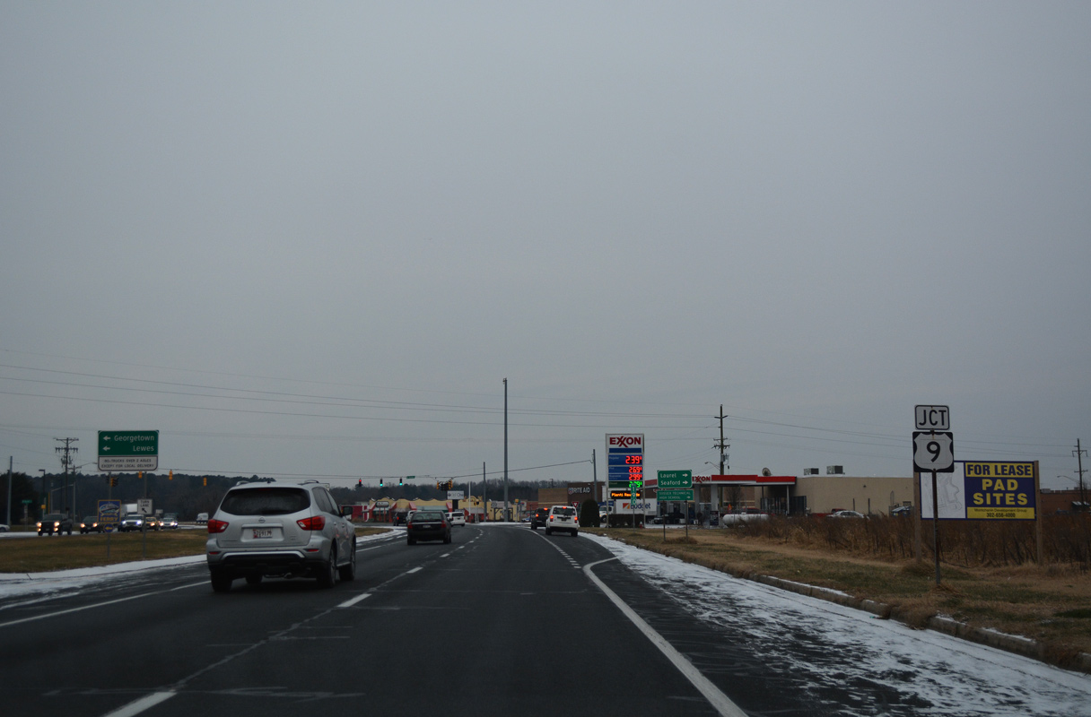
U.S. 9 (Market Street) leads southwest from central Georgetown to meet U.S. 113 (Dupont Boulevard) at the ensuing traffic light.
12/30/17
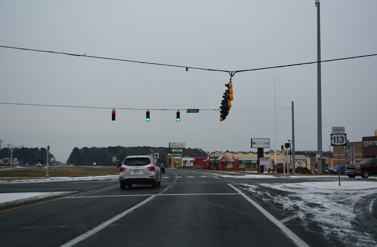
Following County Seat Highway, U.S. 9 runs 12 miles west from U.S. 113 to U.S. 13 at Laurel. The connection with SR 20 leads motorists 13 miles west to Seaford.
12/30/17
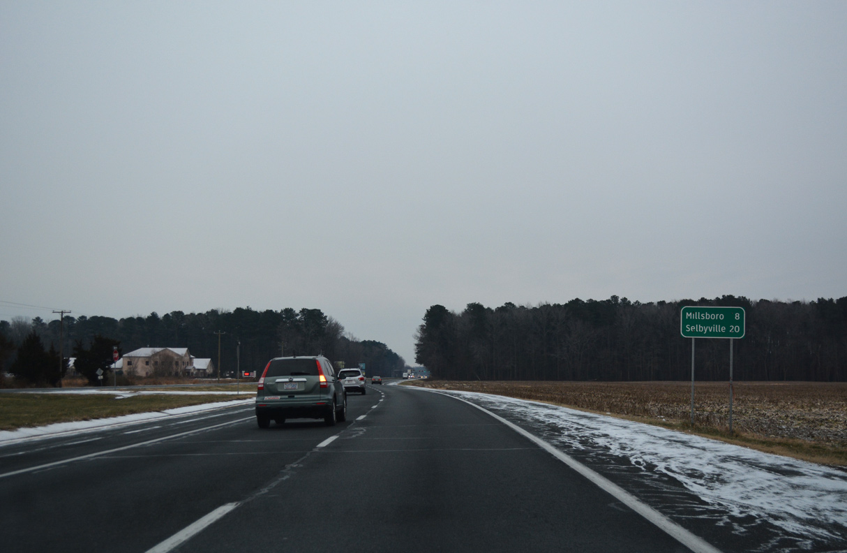
Leaving Georgetown, U.S. 113 transitions back into a rural highway and reaches Millsboro in eight miles.
12/30/17
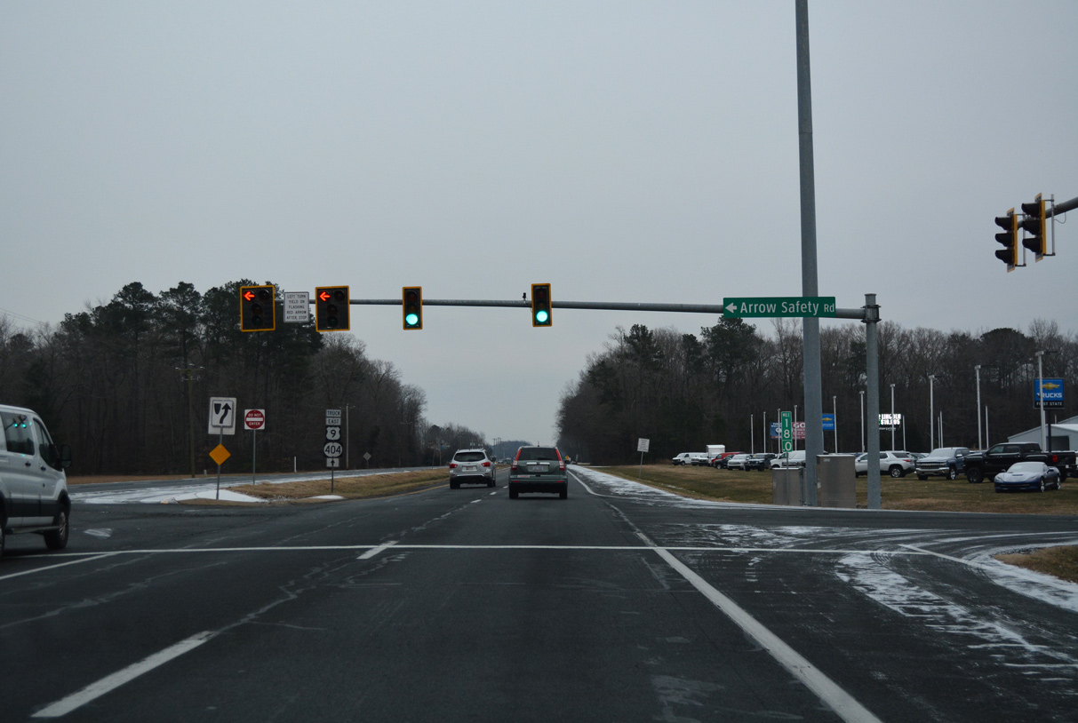
Part of U.S. 9 Truck as of 2024, Arrow Safety Road provides a cut off east from U.S. 113 (Dupont Boulevard) to S Bedford Street (former U.S. 9 Truck). U.S. 9 Truck overlays U.S. 113 south to this traffic light and Park Avenue east from Arrow Safety Road.
12/30/17
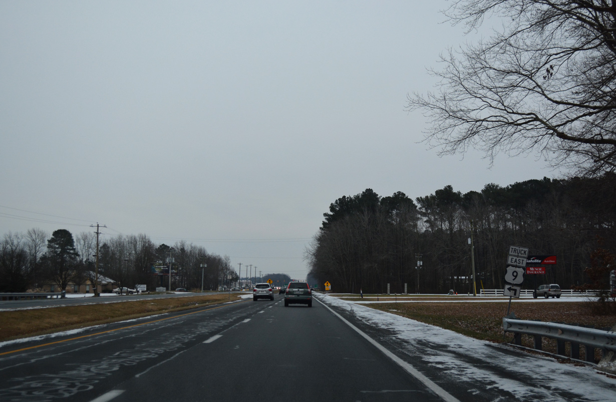
Bedford Street converges with U.S. 113 southwest from Zoar Road near Wood Branch. U.S. 9 Truck formerly took Bedford Street north 1.1 miles to Park Avenue.
12/30/17
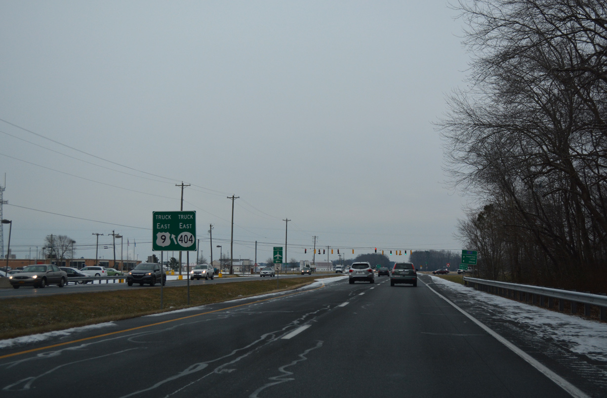
U.S. 9 Truck encircles southern reaches of Georgetown and Delaware Coastal Airport (GED) along a 4.5 mile course to U.S. 9/SR 404 west of Harbeson.
12/30/17
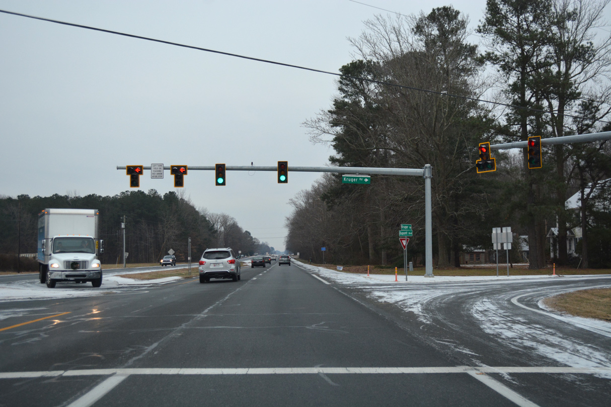
Kruger Road north and Wood Branch Road south converge with U.S. 113 by Georgetown Speedway. Wood Branch Road east to Speedway Road was formerly part of SR 24 Alternate to Zoar, Hollymount and Belltown.
12/30/17
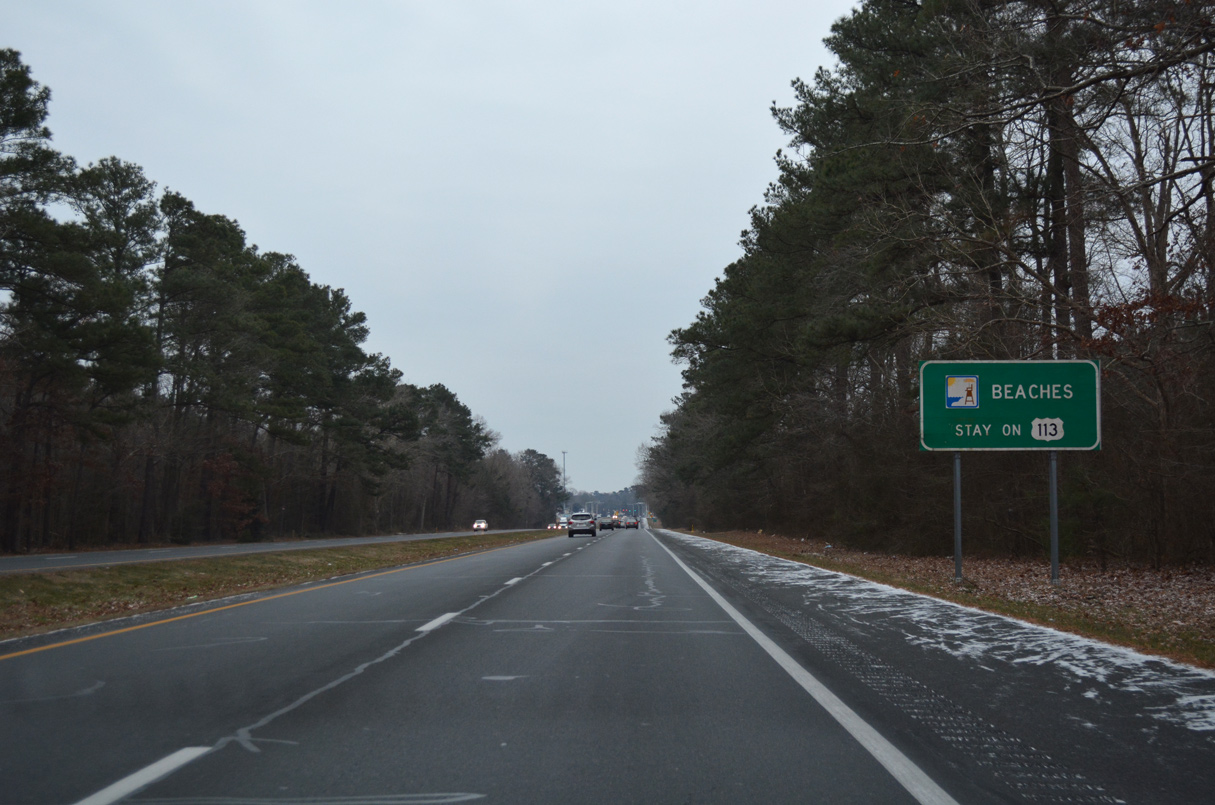
Entering the town limits of Millsboro, beach bound traffic is again advised to stay on U.S. 113 south to connect with SR 20 east via SR 26 at Dagsboro.
12/30/17
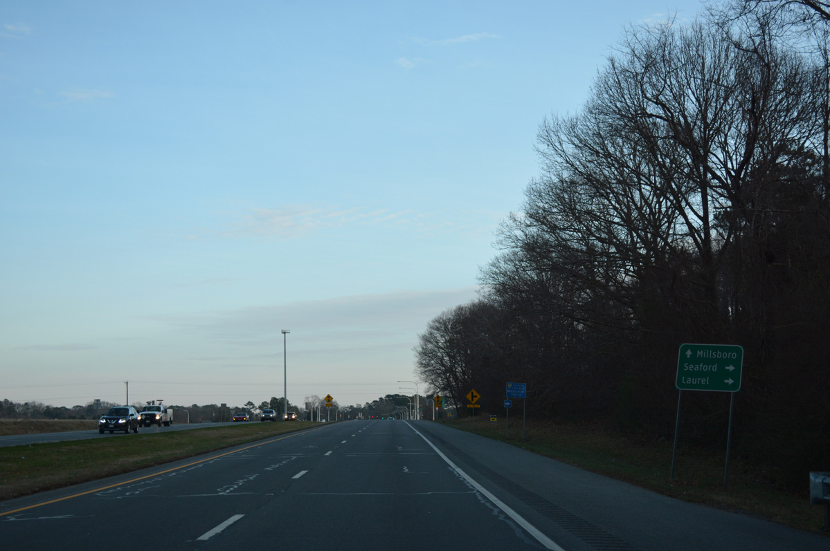
U.S. 113 next meets Sheep Pen Road and SR 20 (Hardscrabble Road). Sheep Pen Road provides a cut-off to SR 20 west to Seaford and U.S. 9 west to Laurel.
01/15/17
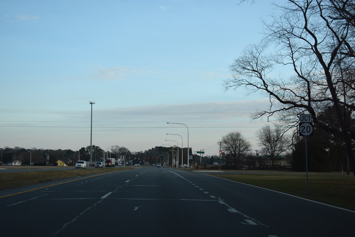
Under construction into 2025, a parclo B2 interchange with the SR 24 Connector replaces the signalized intersection of U.S. 113 and SR 20. The SR 24 Connector is a new two lane alignment encircling the north side of Millsboro to John J. Williams Highway at Jersey Road.
01/15/17
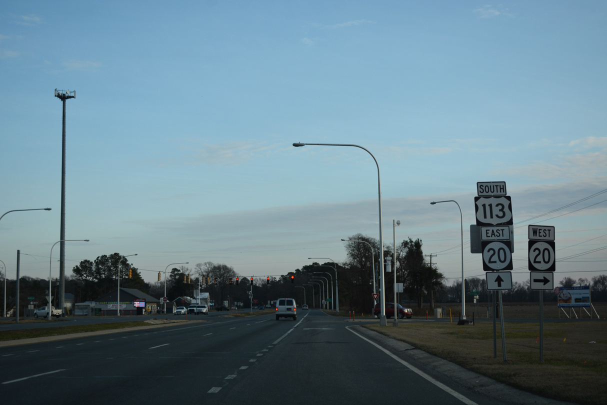
SR 20 crosses a rural swath of Sussex County, 16 miles east from U.S. 13 at Blades to Jones Crossroads, Workmans Corners and U.S. 113. The state route originates west of Seaford at Reliance on the Maryland state line.
01/15/17
South  East
East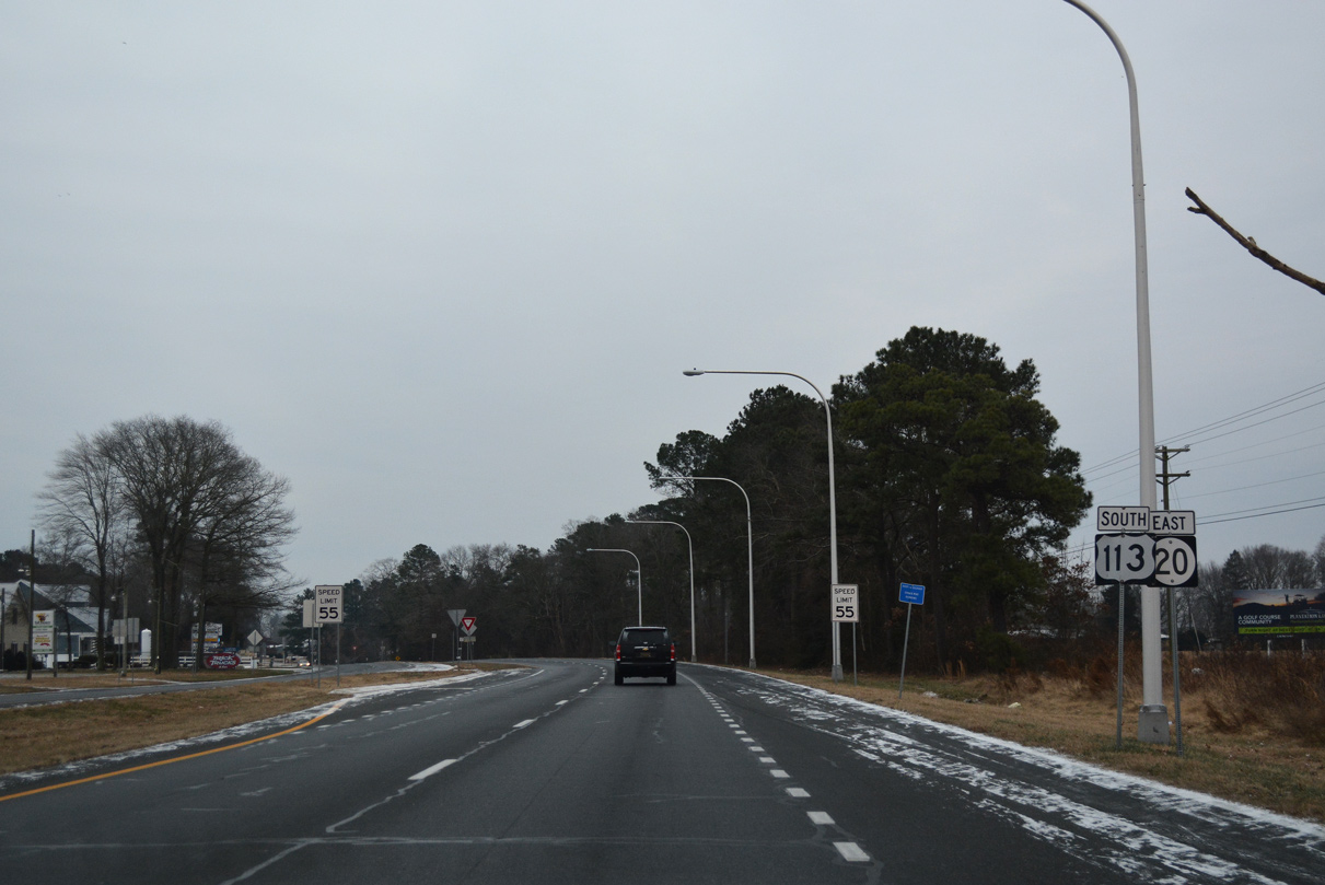
U.S. 113 south / SR 20 east cross Betts Pond just south from where they combine at Betts Pond Road.
12/30/17
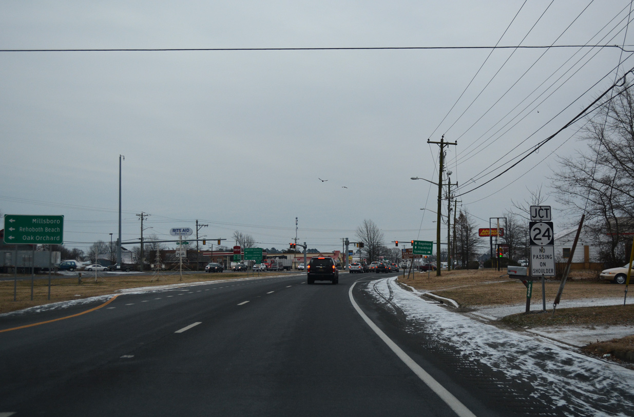
U.S. 113 south / SR 20 (Dupont Boulevard) east navigate through a commercial strip to SR 24 (Washington Street) southwest of Downtown Millsboro.
12/30/17
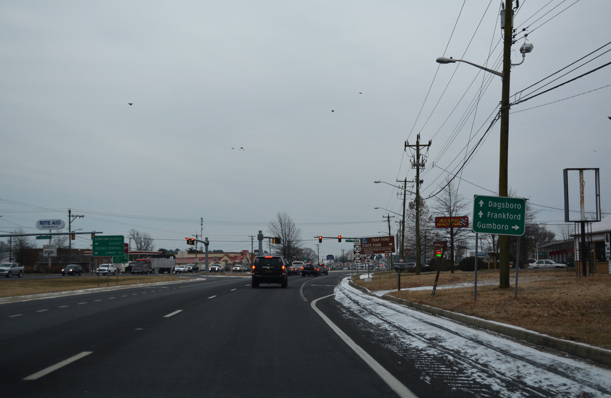
Prior to Summer 2022, SR 24 combined with SR 30 north through Downtown Millaboro to Millsboro Pond and southwest to Phillips Hill and Mission. SR 30 was decommissioned south to Gumboro and west to U.S. 13 and Bacons.
12/30/17
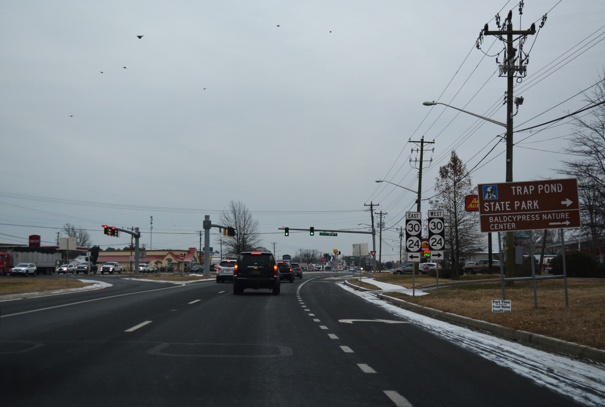
West from Millsboro Highway (old SR 30), SR 24 continues to Lowes Crossroads, Trap Pond State Park and Laurel. The state route travels across the width of Sussex County to MD 348 near Sharptown.
12/30/17
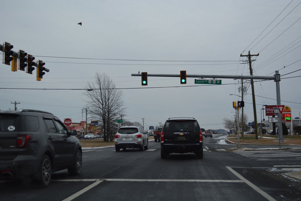
Within the town of Millsboro, SR 24 follows Laurel Road west to Millsboro Highway and the Plantation Lakes Golf & Country Club community. Through Downtown, SR 24 separates along the couplet of Main Street north and Washington Street south.
12/30/17
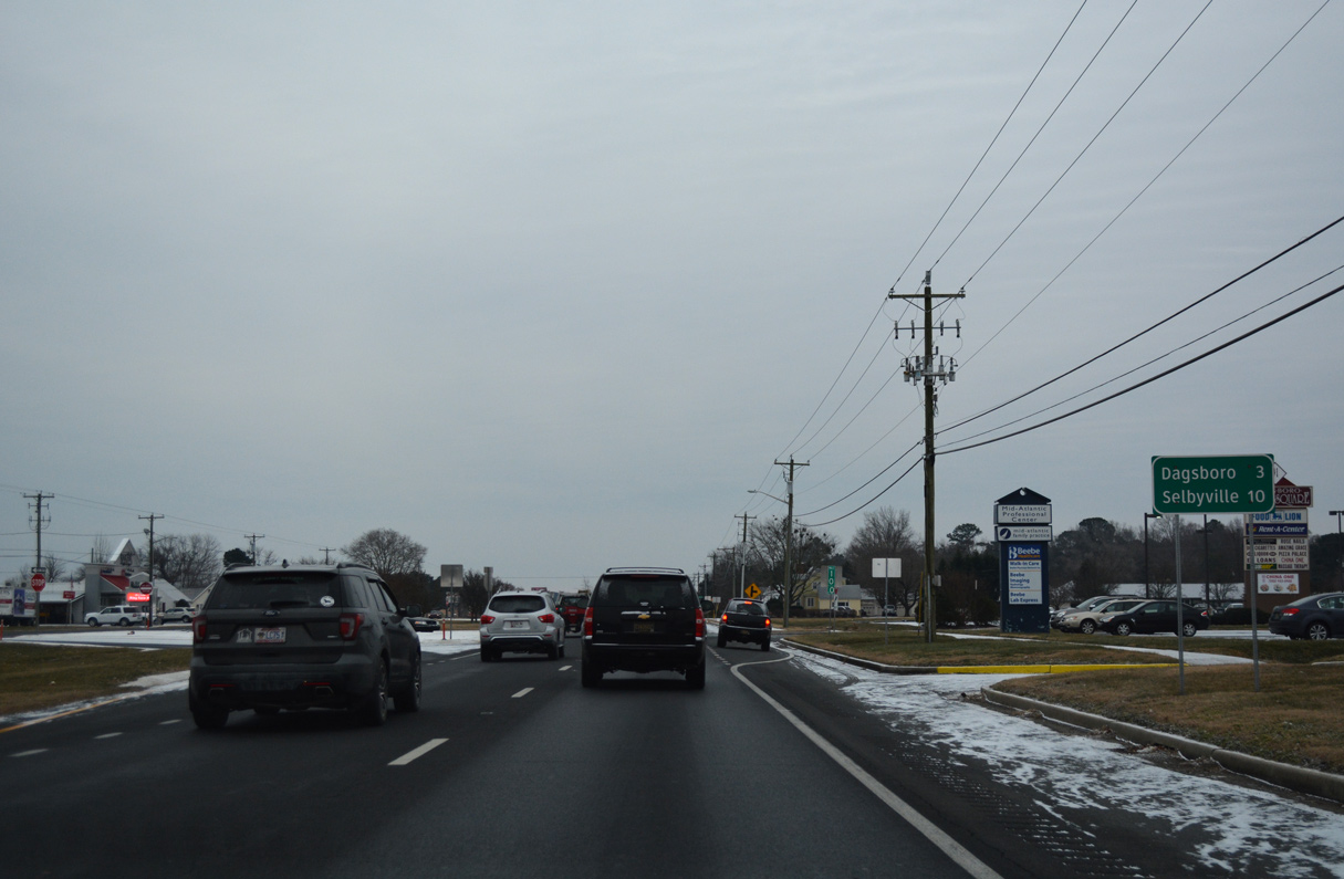
The town of Dagsboro lies three miles to the southeast along SR 20. U.S. 113 reaches Selbyville in ten miles.
12/30/17
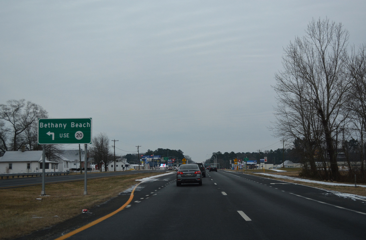
Lying 13 miles to the east, SR 20 provides a cut off to SR 26 east for Bethany Beach. The two state routes combine along Main Street in Dagsboro, 2.25 miles to the southeast.
12/30/17
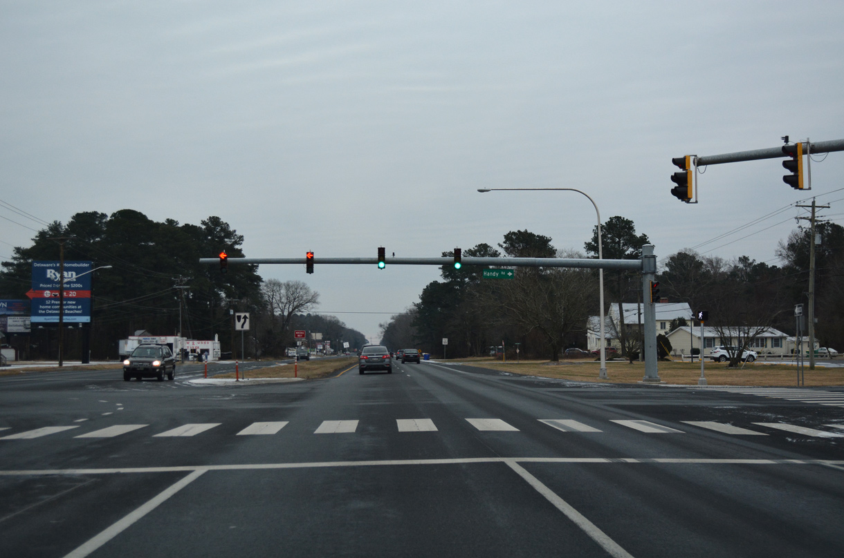
SR 20 (Dagsboro Road) angles 15.8 miles southeast from U.S. 113 at Handy Road to Dagsboro, Omar, Roxana and SR 1 at Fenwick Island.
12/30/17
South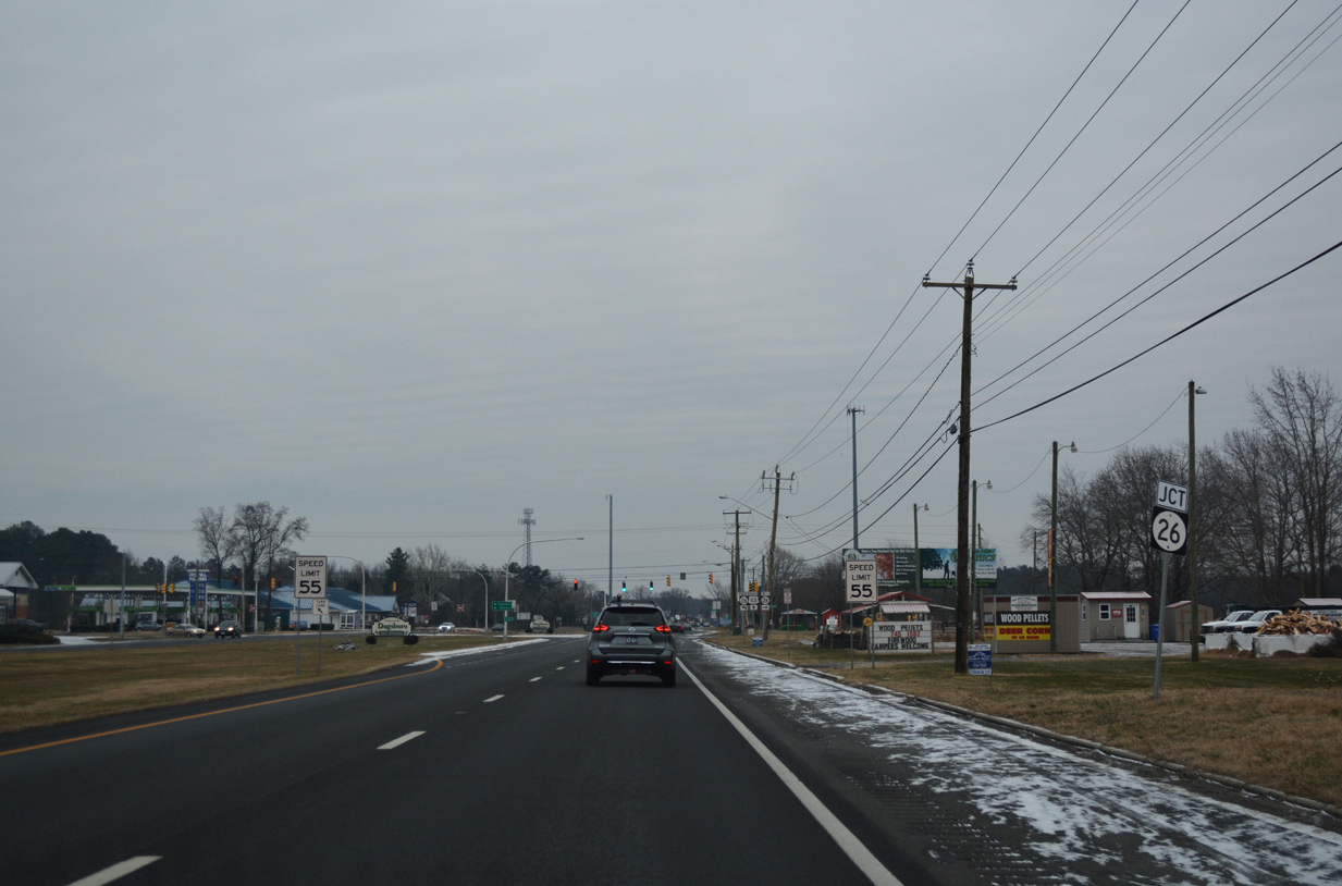
Running through western reaches of Dagsboro, U.S. 113 (Dupont Boulevard) advances to SR 26 (Clayton Street east / Nine Foot Road west).
12/30/17
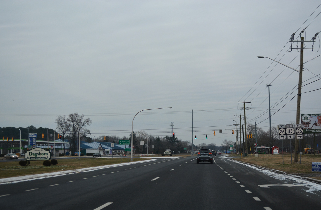
23.15 miles in length, SR 26 connects Bethany Beach and Ocean View with Dagsboro and rural areas of south central Sussex County. The state route overlaps SR 54 to the Maryland state line south of Gumsboro.
12/30/17
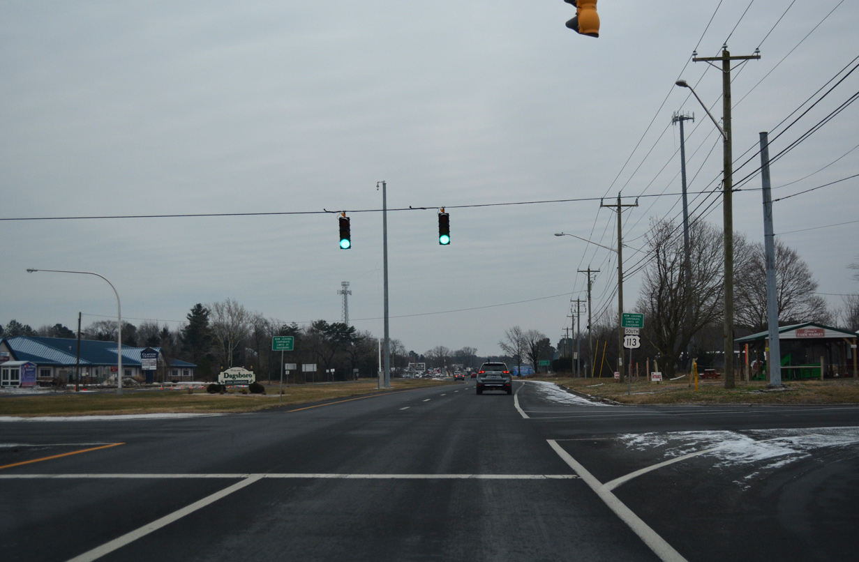
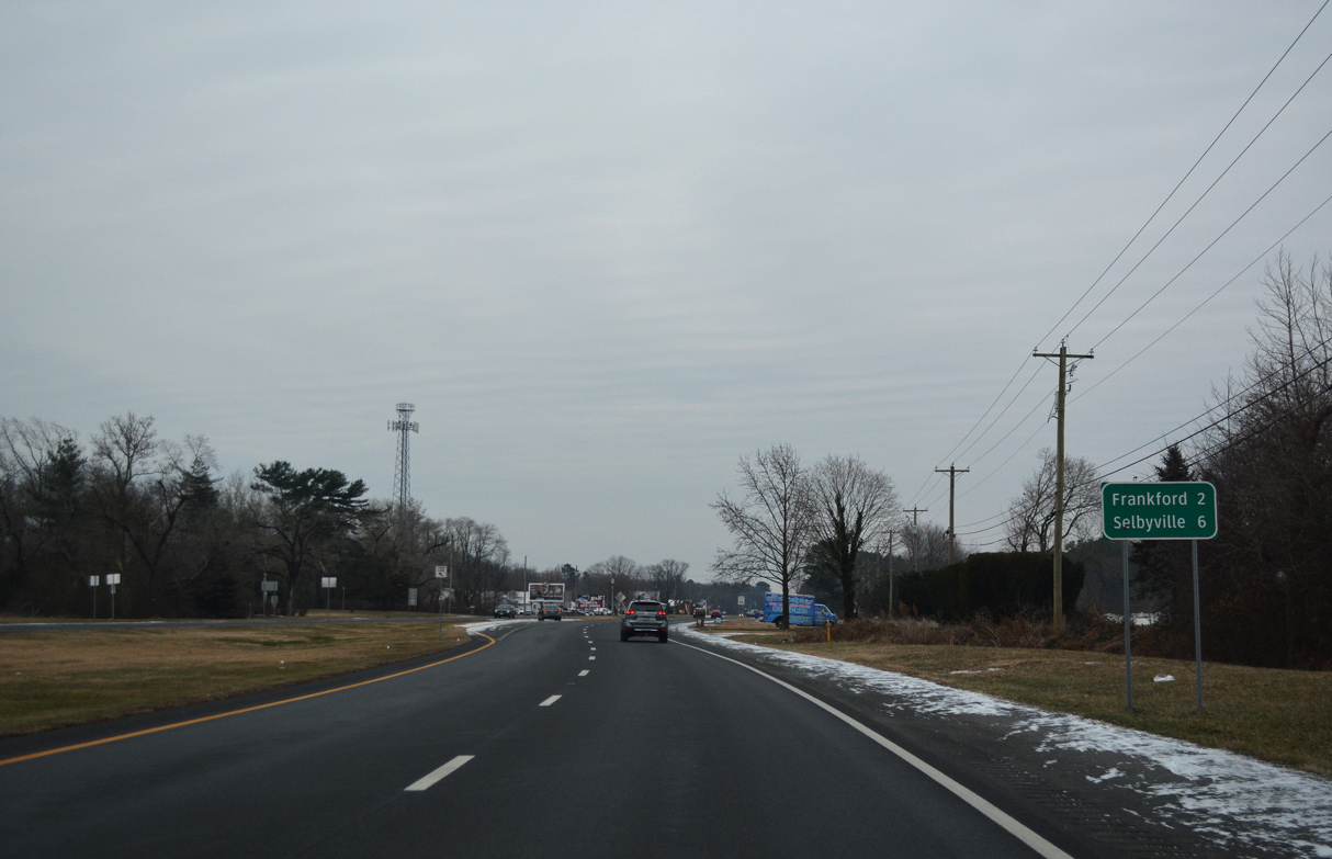
U.S. 113 stays rural and continues south from SR 26 (Clayton Street) at Dagsboro two miles toward Frankford.
12/30/17
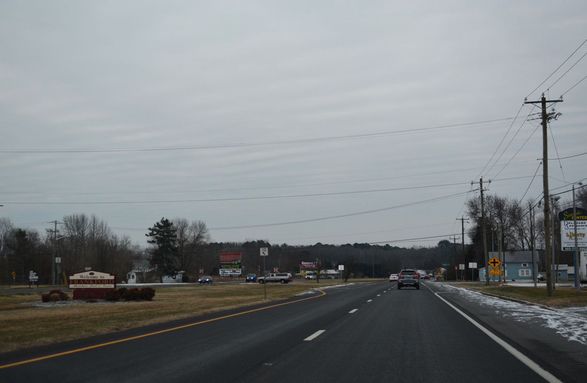
U.S. 113 (Dupont Boulevard) delineates the western town limits of Frankford between Hickory Street and Dover Street.
12/30/17
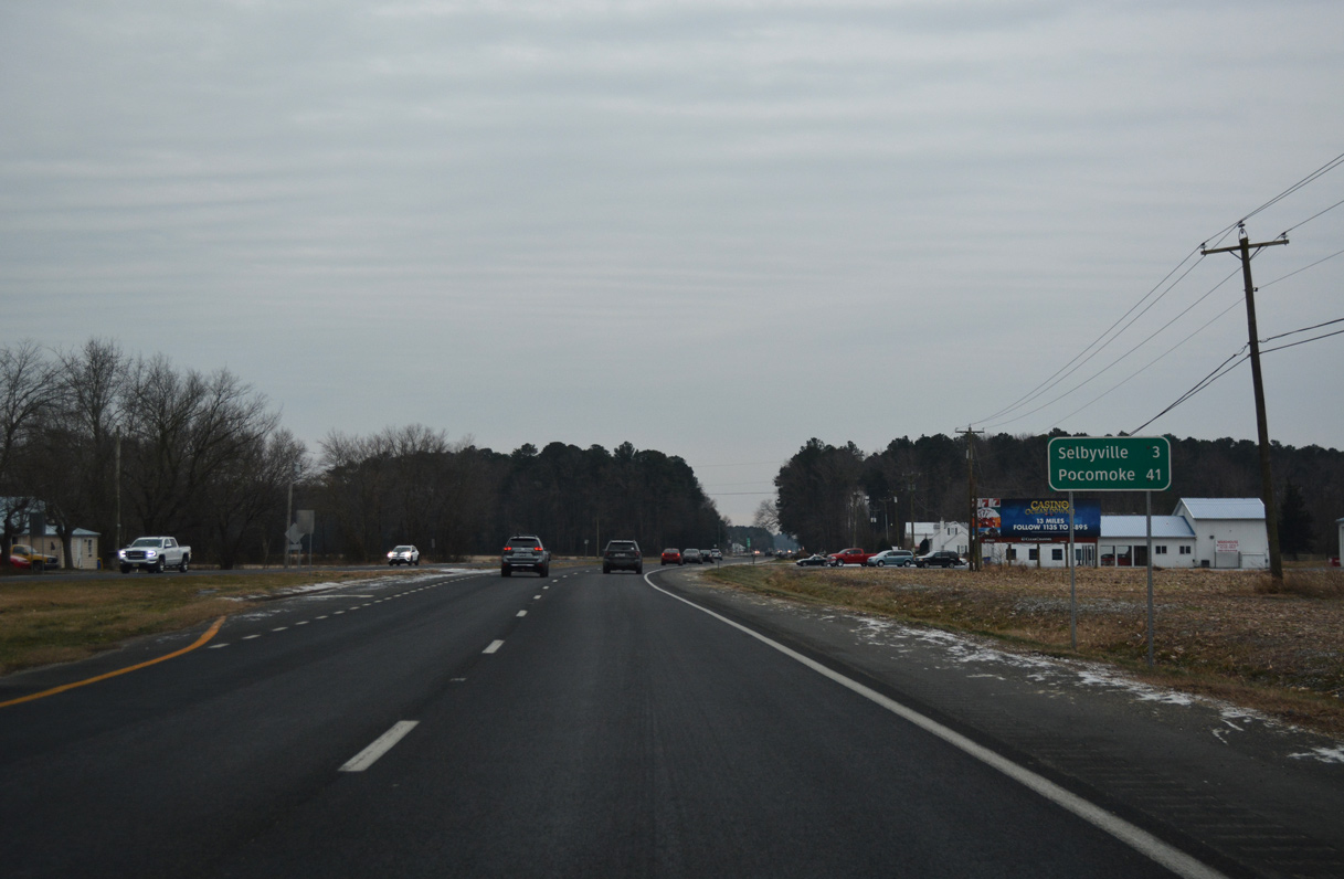
Advancing south from Frankford Avenue and milepost 4, U.S. 113 continues another 41 miles to Pocomoke City, Maryland.
12/30/17
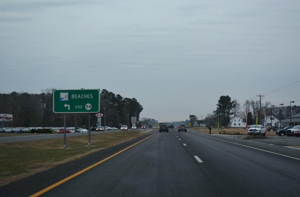
SR 54 crosses paths with U.S. 113 (Dupont Boulevard) on the north side of Selbyville at Cemetery Road. The state route leads 11.2 miles east to SR 1 at Fenwick Island.
12/30/17
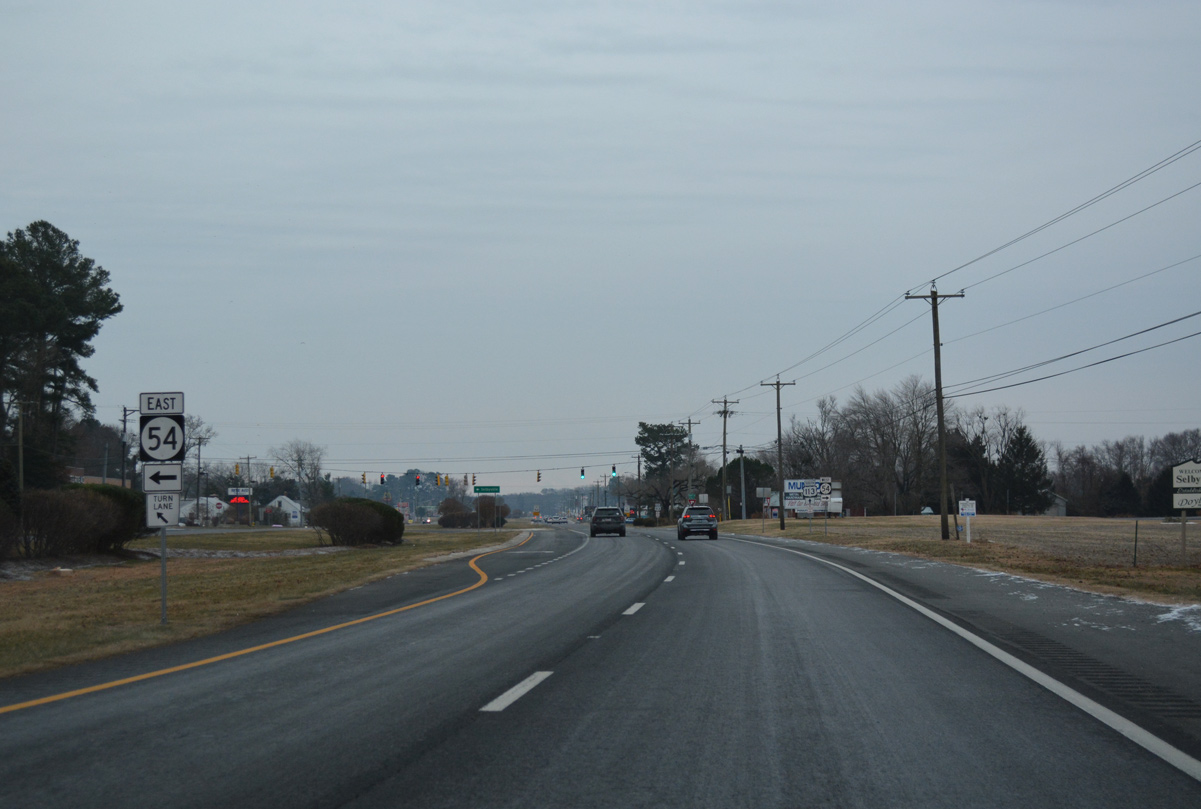
Traveling 41.8 miles overall, SR 54 forms a multi state route with MD 54, running partially along the state line west to Delmar and Mardela Springs and east to Williamsville and SR 1 north of Ocean City.
12/30/17
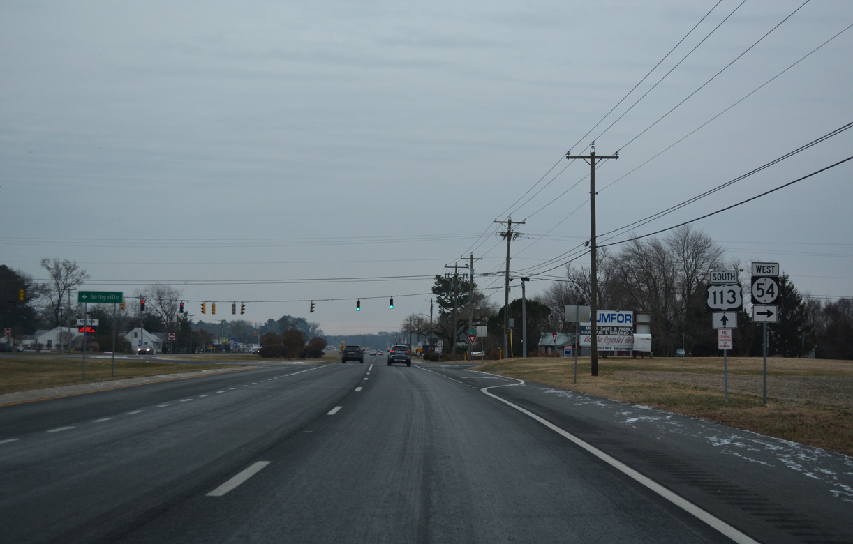
Cemetery Road leads SR 54 east from U.S. 113 to North Main Street and Downtown Selbyville. SR 17 (Bethany Road) ties into SR 54 there from Roxana.
12/30/17
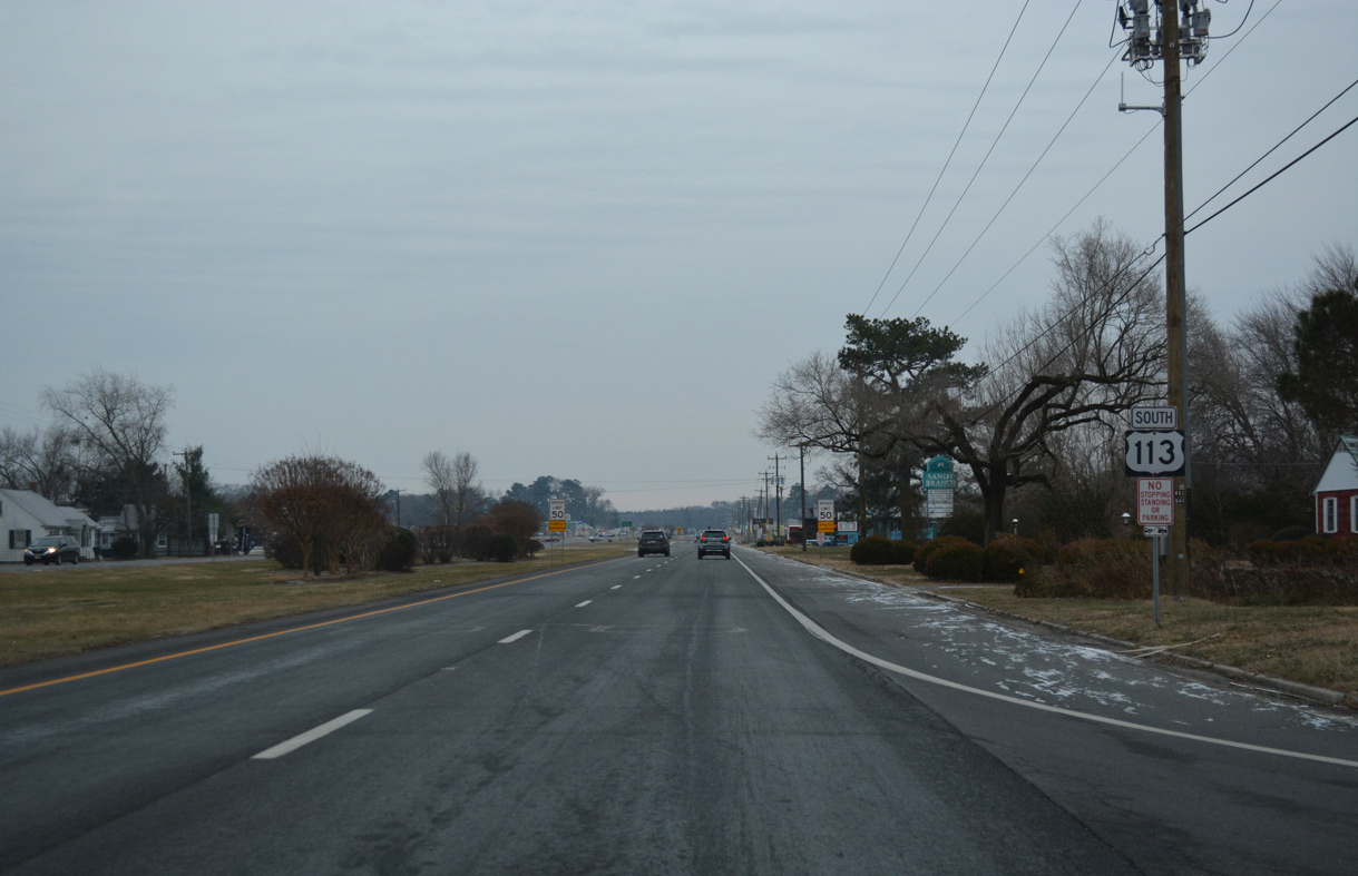
The final confirming marker for U.S. 113 in Delaware. Dupont Boulevard reaches the Maryland line in three quarters of a mile.
12/30/17
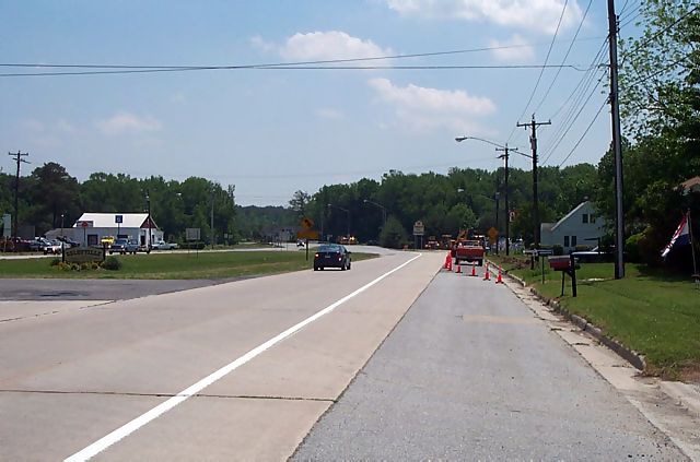
Viewing the Maryland state line and former reduction from four to two lanes along U.S. 113 south at Selbyville.
April 2000
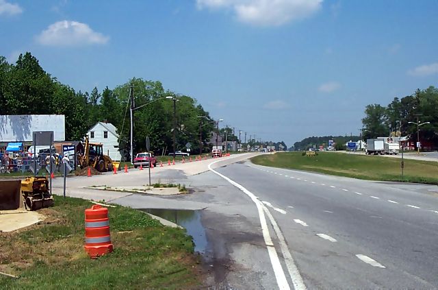
A stub end was incorporated into U.S. 113 south at the state line for the eventual widening into Worcester County.
April 2000
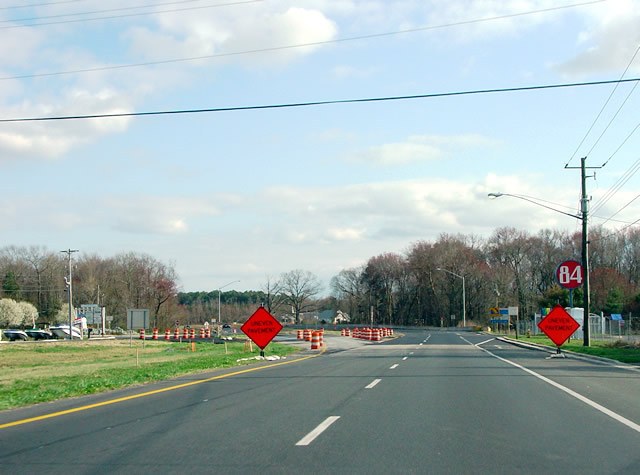
Crossing the Maryland state line during construction to expand U.S. 113 to four lanes south to Bishop.
04/04/04
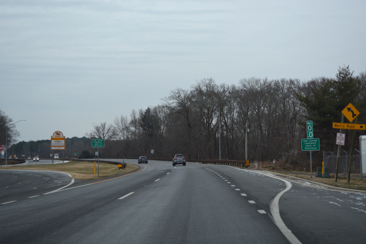
Entering Maryland, U.S. 113 follows Worcester Highway to the west of Ocean City. Three routes connect the US highway to the coastal city: MD 589 in 4.5 miles, MD 90 (Ocean City Expressway) in 5.5 miles and U.S. 50 in 8.5 miles. U.S. 113 reaches the Worcester County seat of Berlin in 9.5 miles.
12/30/17
References:
Photo Credits:
- AARoads: 08/05/07
- Alex Nitzman: 04/13/04, 01/15/17, 01/16/17, 12/30/17
- Rahul: April 2000
- Adam Froehlig: 04/04/04
Connect with:


Page Updated Friday November 30, 2018.