
U.S. 220 North - Franklin County

 North
North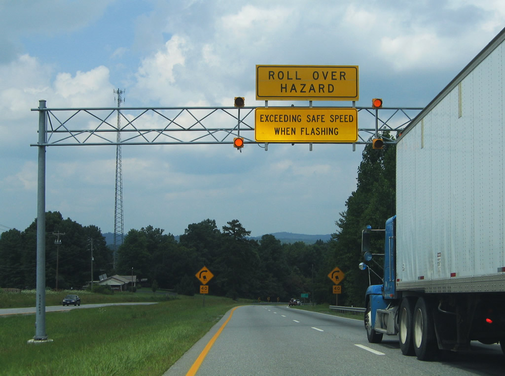
Continuing into Franklin County, U.S. 220 (Virgil H. Goode Highway) encircles Skelt Mountain and makes an abrupt eastern turn near SR 605 (Henry Road).
07/24/04
East of SR 605 (Henry Road) on U.S. 220 north near the intersection with SR 608 (Fork Mountain Road). SR 608 leads south over Skelt Mountain to Henry County.
07/24/04
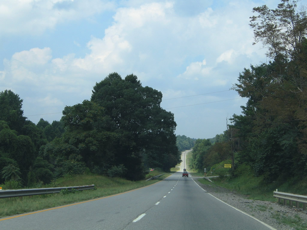
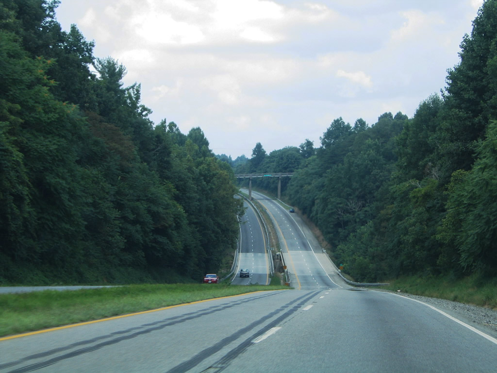
Scenery along U.S. 220 at its northerly turn towards Sydnorsville.
07/24/04
Ten miles south of Rocky Mount on U.S. 220 northbound at the crossing over Big Chestnut Creek.
07/24/04
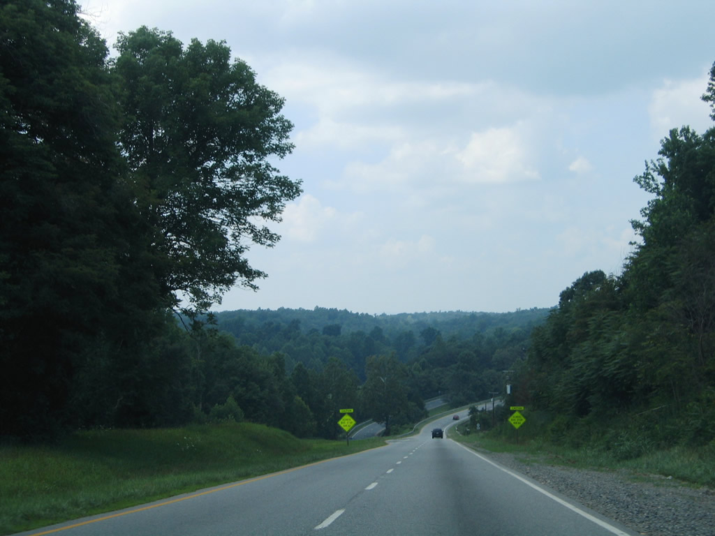
North of Sydnorsville and SR 724 (Goose Dam Road), U.S. 220 undulates over hills east of Brier Mountain near SR 1630 (Glen Drive).
07/24/04
Sinking toward the intersection of SR 1085 (Commerce Road) and the Little Chestnut Creek North Fork.
07/24/04
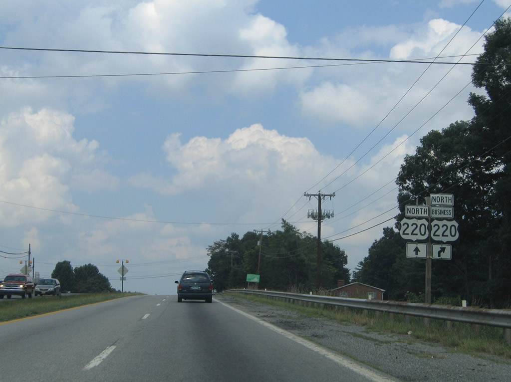
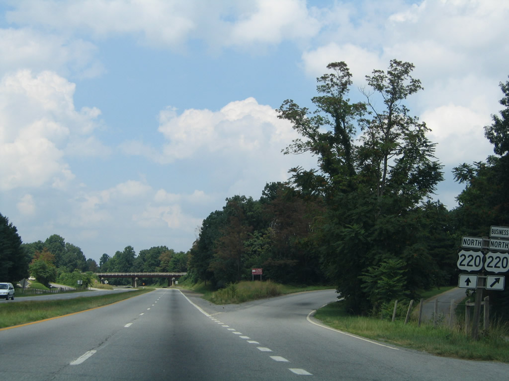
U.S. 220 Business splits from U.S. 220 at the Rocky Mount freeway bypass.
07/24/04
U.S. 220 bypasses downtown Rocky Mount and U.S. 220 Business (Main Street) to the east en route to Boones Mill and Roanoke.
07/24/04
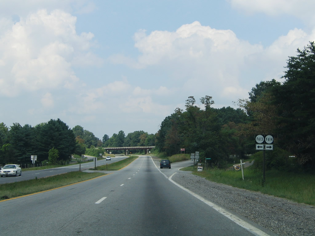
SR F613 (Southside Drive) and F614 (Northside Road) represent frontage roads lining the wye interchange at U.S. 220/U.S. 220 Business (Main Street) north.
07/24/04
U.S. 220 Business branches northwest into Rocky Mount. SR 674 (Doe Run Road) stems east from Main Street to Henry Fork.
07/24/04
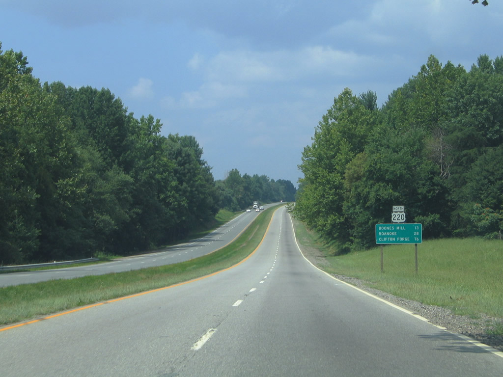
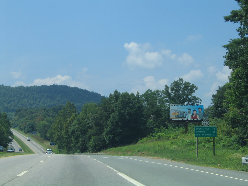
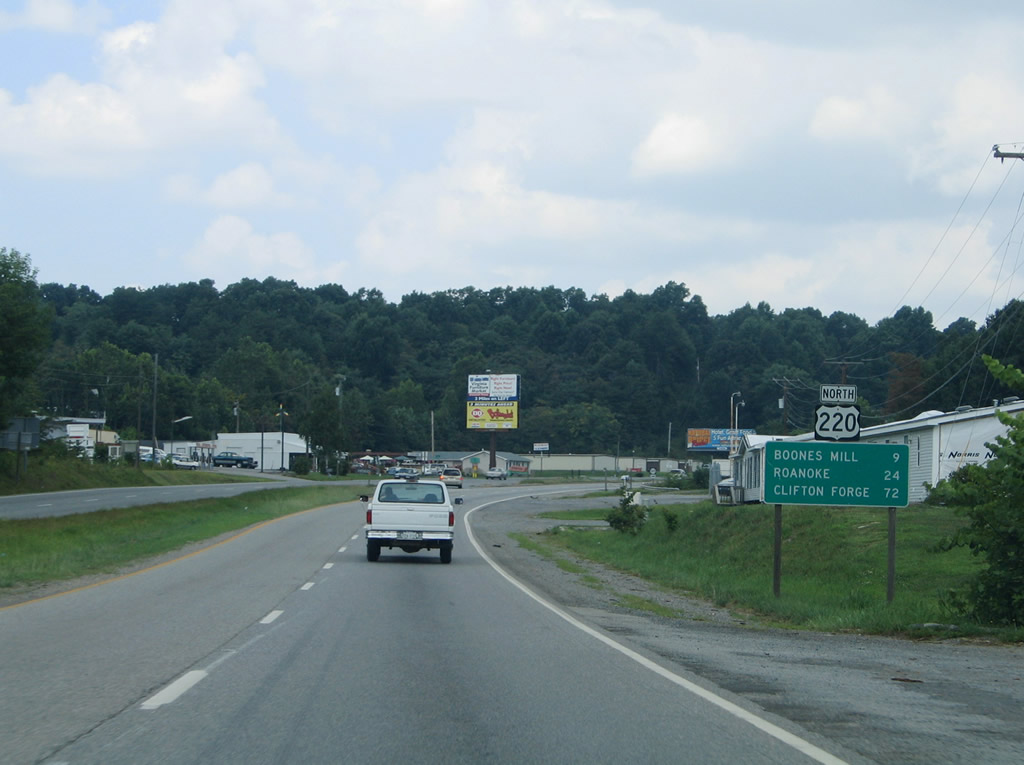
Northbound distance sign for Boones Mill (13 miles), Roanoke (28 miles), and the merge with Interstate 64 west at Clifton Forge (76 miles).
07/24/04
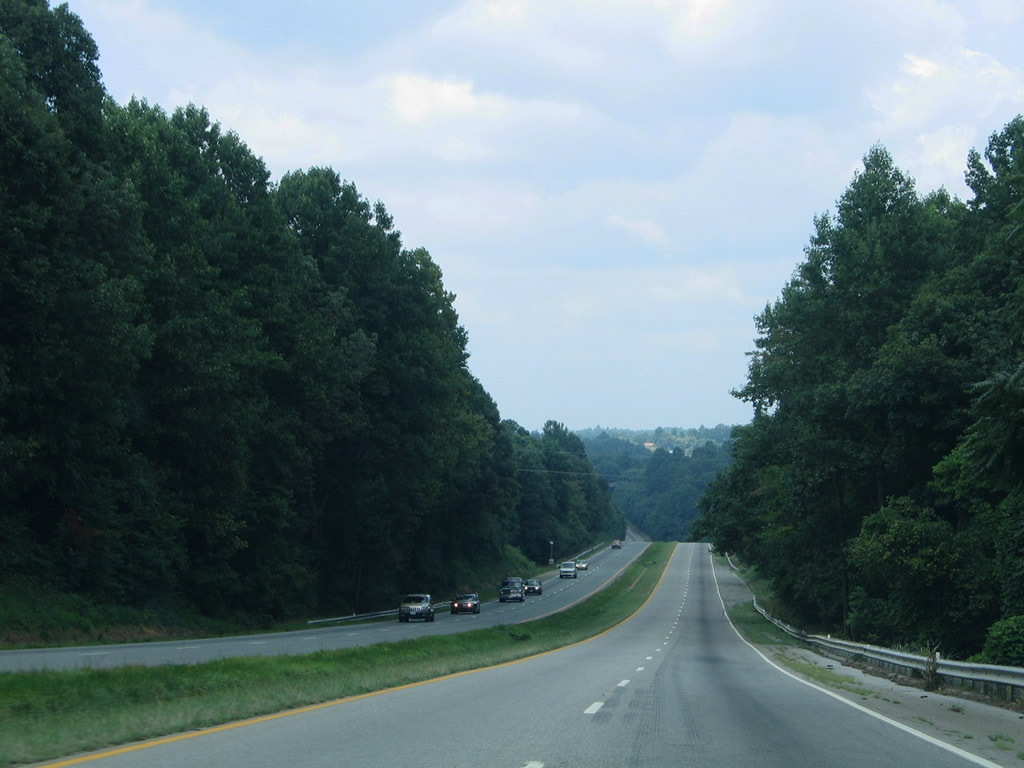
U.S. 220 north along the Rocky Mount bypass freeway ahead of the Pigg River crossing near SR 713 (Power Dam Road).
07/24/04
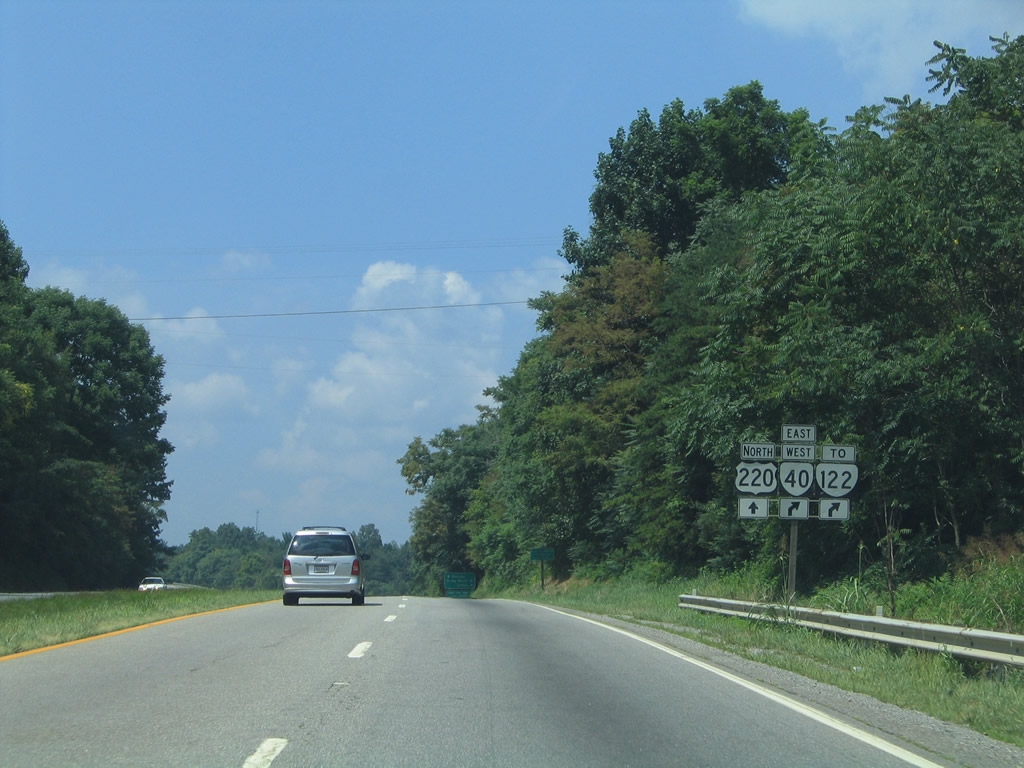
A folded diamond interchange joins SR 40 (Pell Avenue / Franklin Street) east with U.S. 220 on the northeast side of Rocky Mount. SR 40 constitutes a commercial arterial east to SR 122 (Booker T. Washington Highway) north for Burnt Chimney, Moneta, and Bedford.
07/24/04
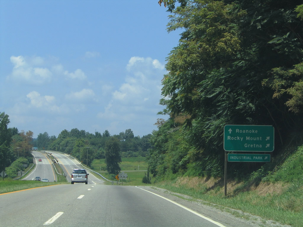
SR 40 west meets U.S. 220 Business (Main Street) near the industrial side of the city. SR 40 joins Rocky Mount with Gretna (U.S. 29) to the east and Ferrum and Woolwine to the west.
07/24/04
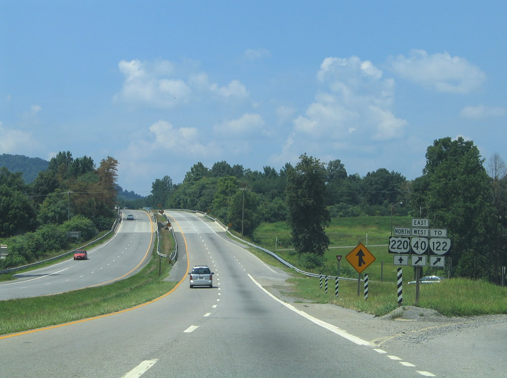
Motorists bound for SR 40 (Pell Avenue / Franklin Street) descend from U.S. 220 north. SR 40 is a lengthy route at 233 miles between SR 8 at Woolwine and SR 10 at Spring Grove.
07/24/04
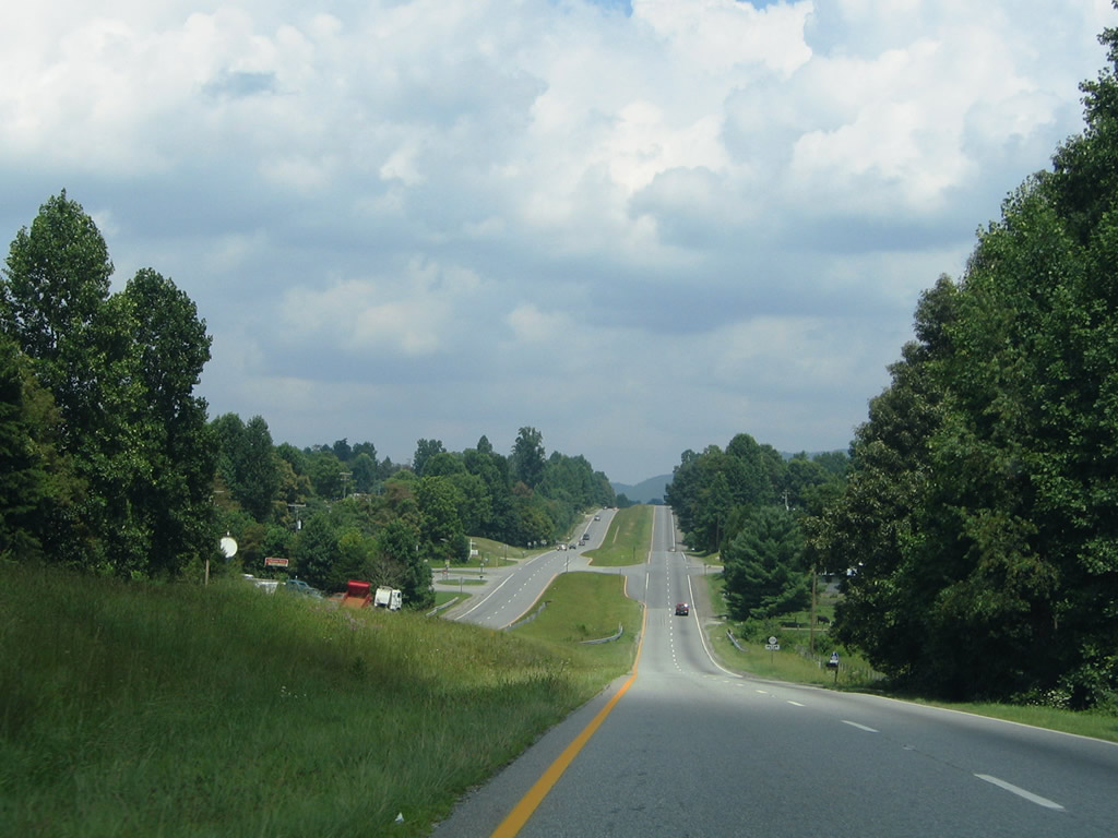
Grassy Hill comes into view along U.S. 220 north from SR 40. Boones Mill lies ten miles ahead.
07/24/04
U.S. 220 Business (Main Street) south to Rocky Mount ties into U.S. 220 at Benard Road (SR 1008).
07/24/04
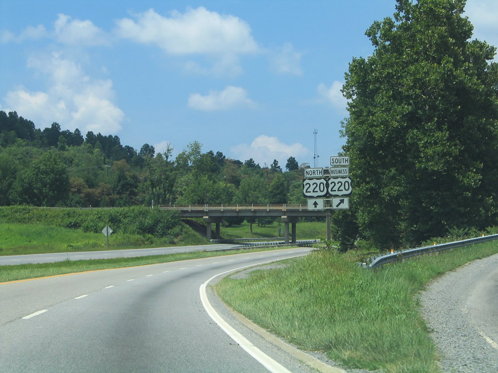
U.S. 220 and U.S. 220 Business shield assembly posted at the half diamond interchange with Main Street. A wye interchange ties in from U.S. 220 south.
07/24/04
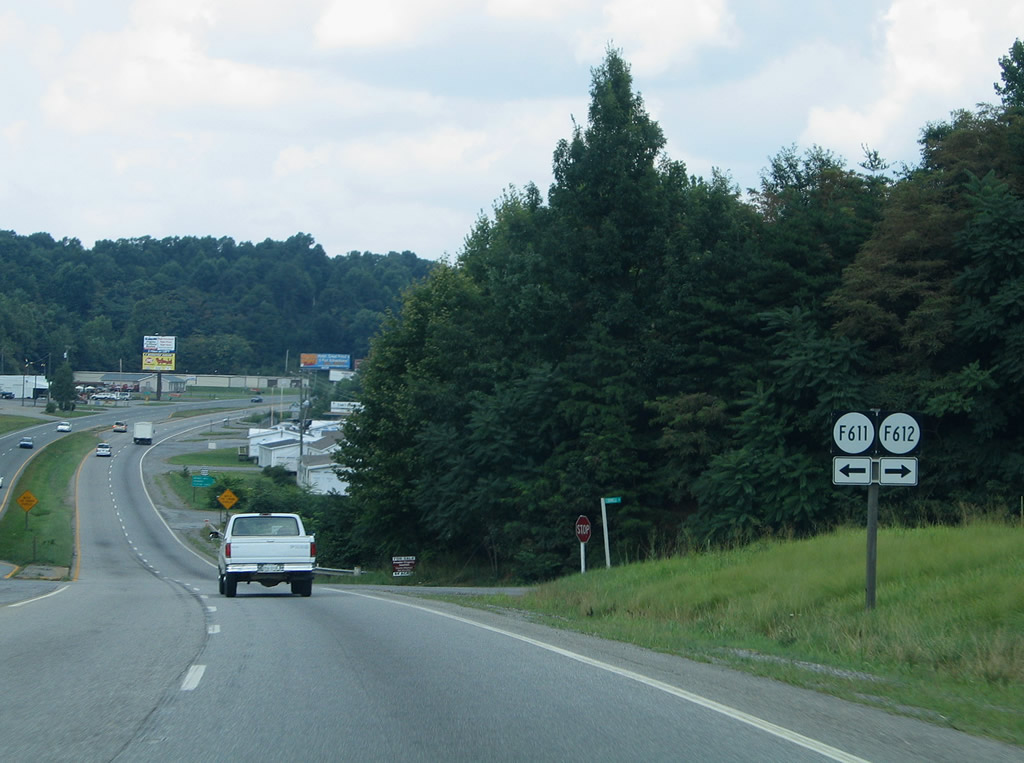
Frontage Roads connect Bernard Road with U.S. 220 and U.S. 220 Business as SR F611 (Cornell Road) and F612.
07/24/04
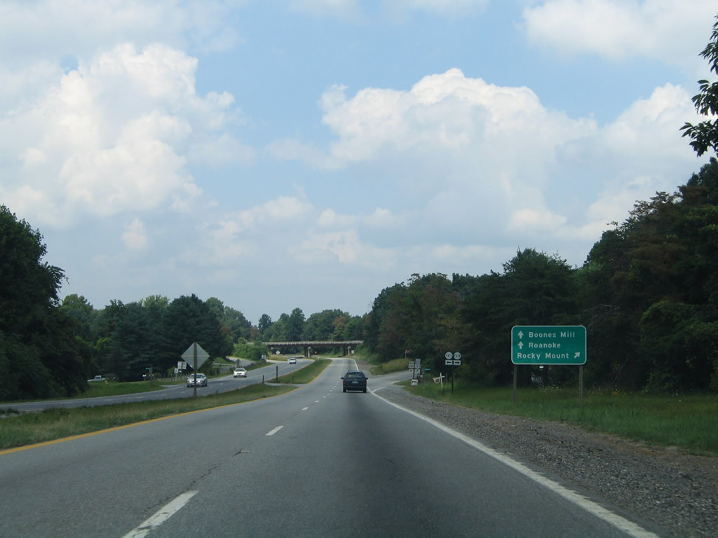
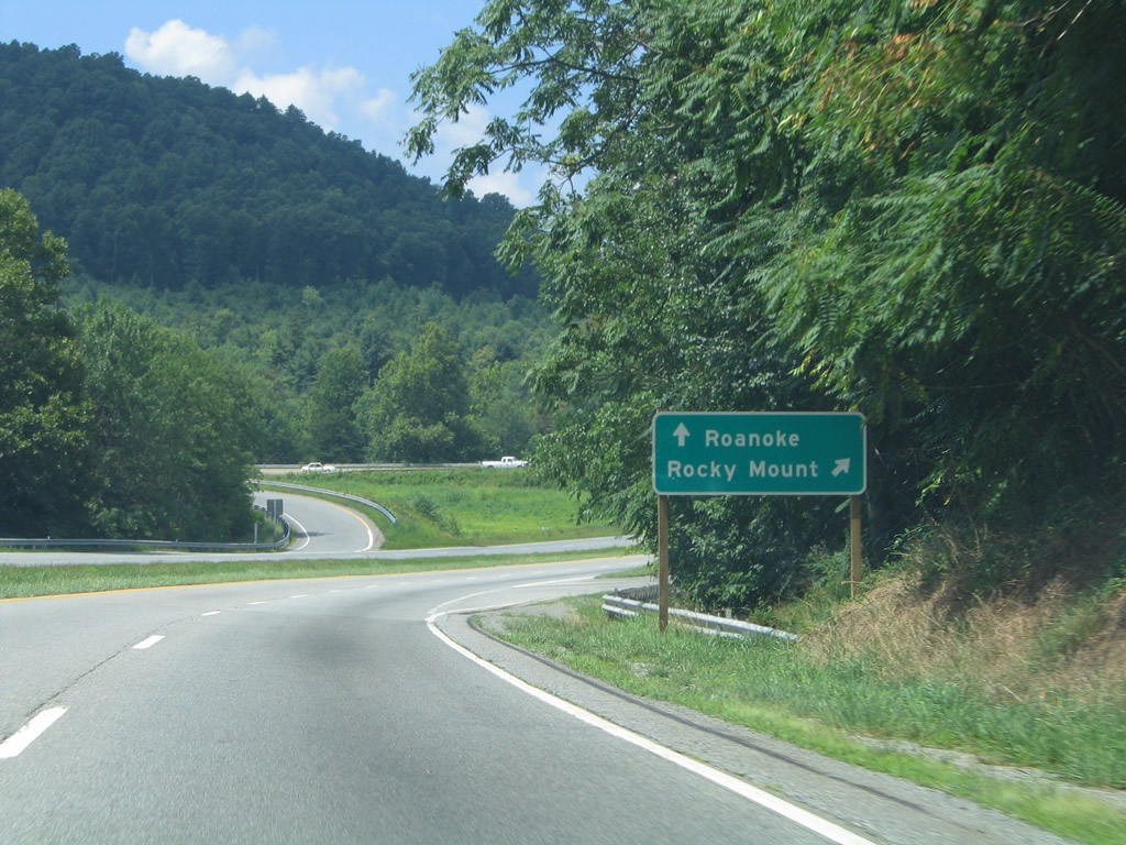
East of Grassy Hill, U.S. 220 leaves Rocky Mount on the 24 mile drive to Roanoke.
07/24/04
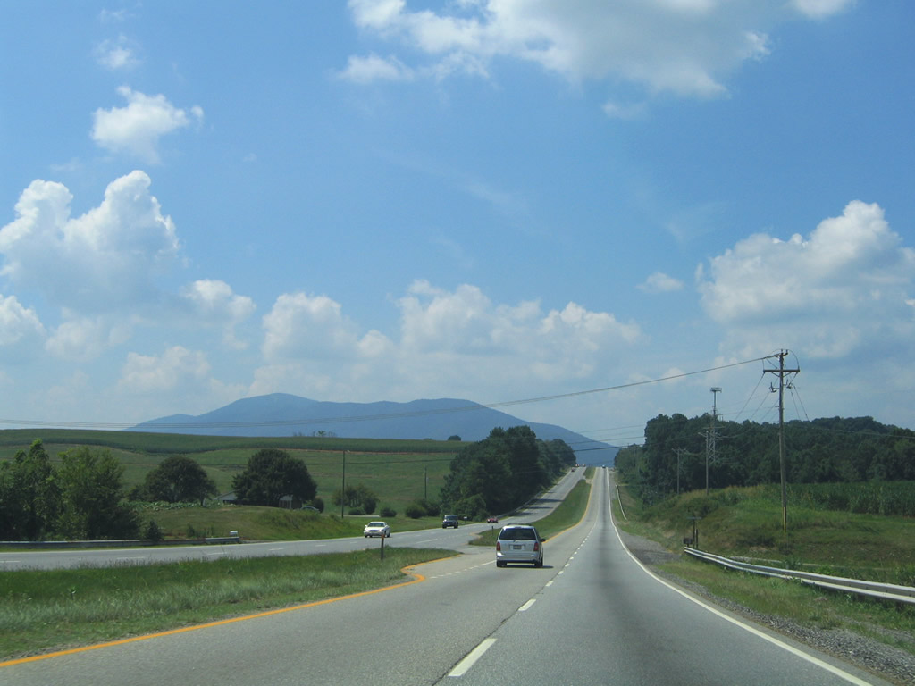
The Blue Ridge Mountains come into view northbound after the intersection with SR 697 (Brick Church Road). Little Mountain rises to the east.
07/24/04
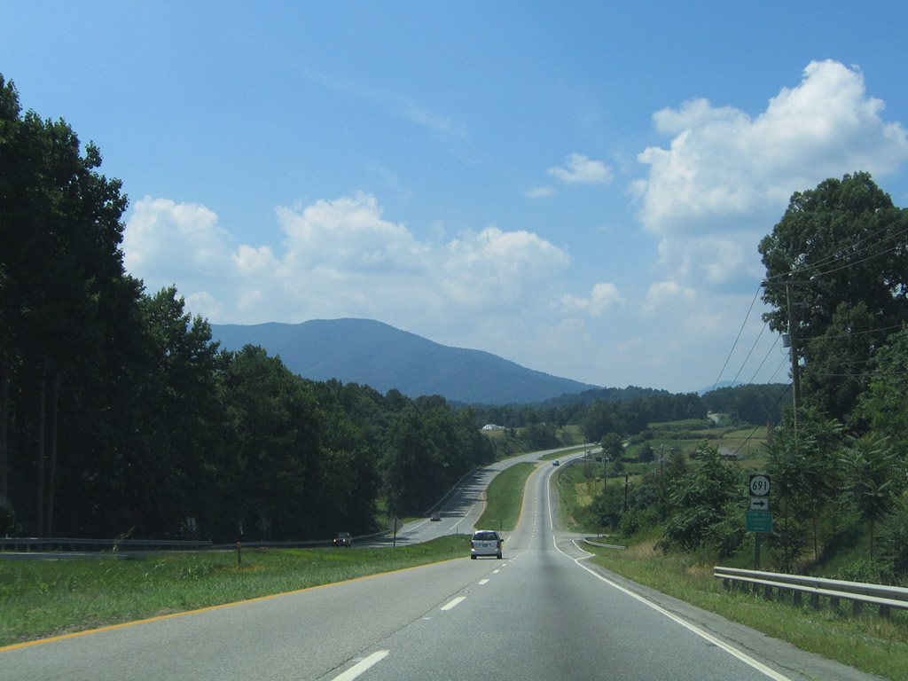
SR 691 (Taylors Road) travels east from U.S. 220 to Taylor.
07/24/04
U.S. 220 lowers into Boones Mill on the approach to SR 919 (Grassy Hill Road). SR 919 leads south to Helm and Gogginsville.
07/24/04
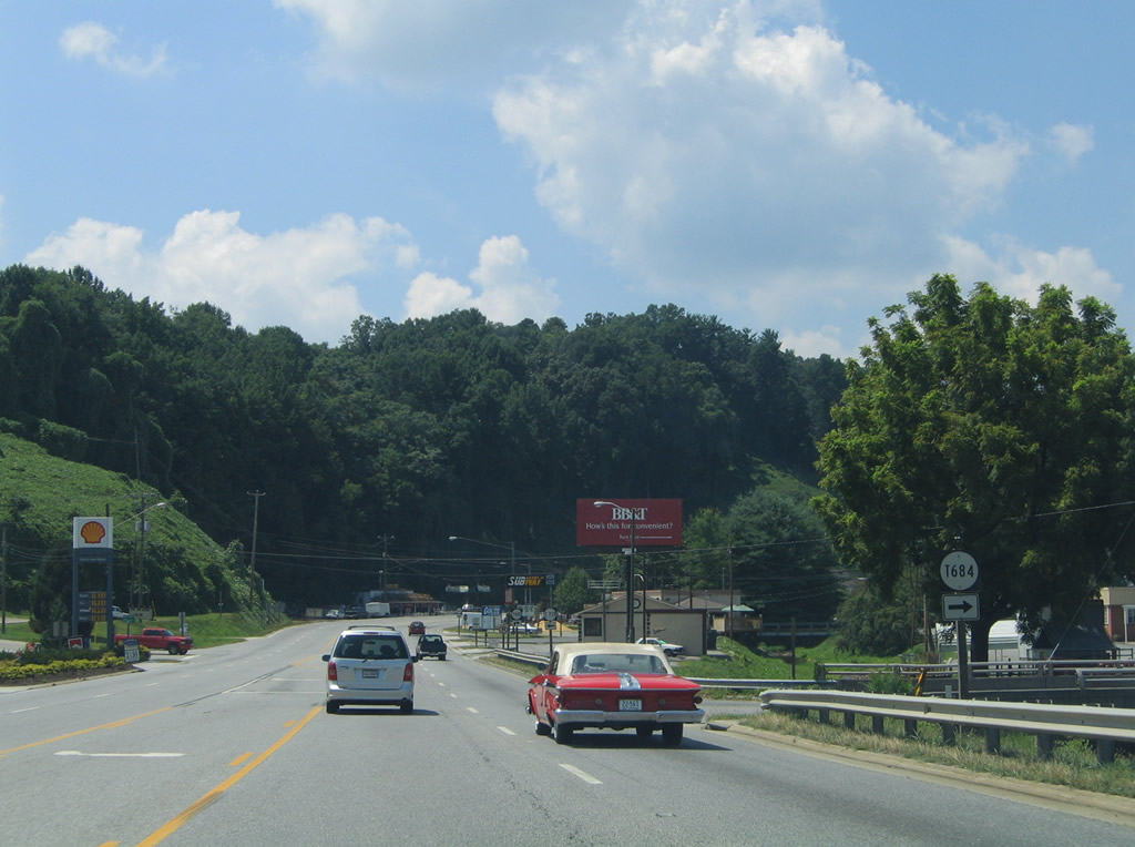
U.S. 220 intersects SR T684 (Boones Mill Road) east at Boones Mill. SR 684 joins Boones Mill with SR 116 northwest of Burnt Chimney.
A traffic light was added with adjacent SR T739 (Bethlehem Road) since this photo was taken.
07/24/04
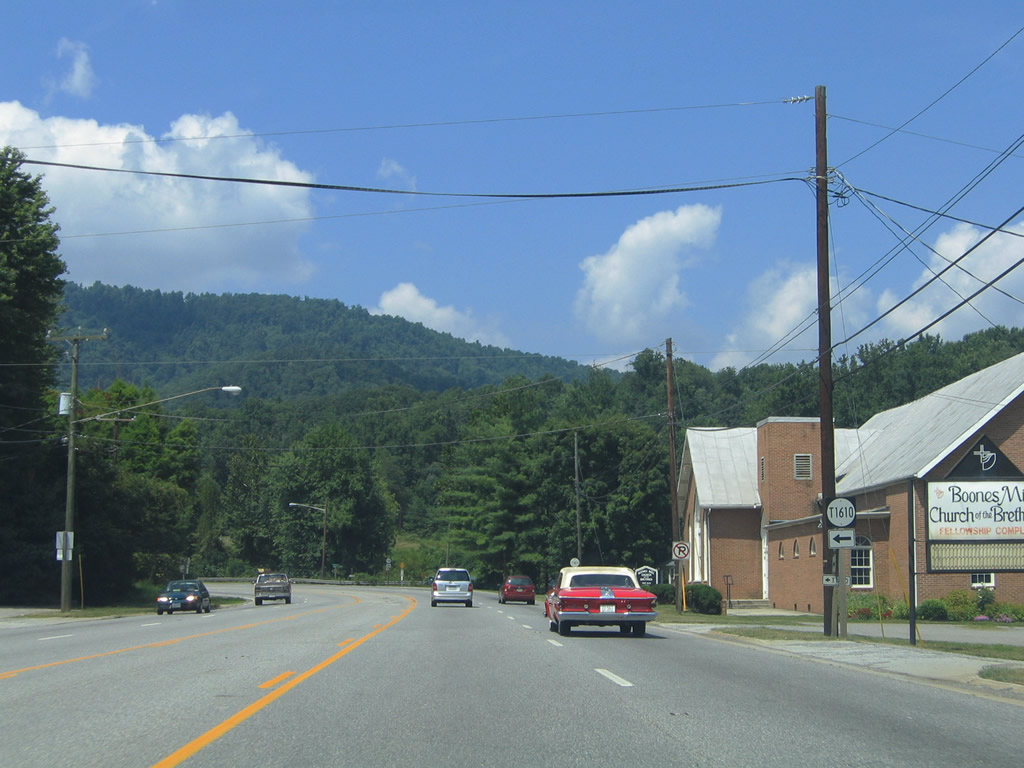
SR T1610 (Angell Lane) angles northwest as a residential street in Boones Mill from U.S. 220.
07/24/04
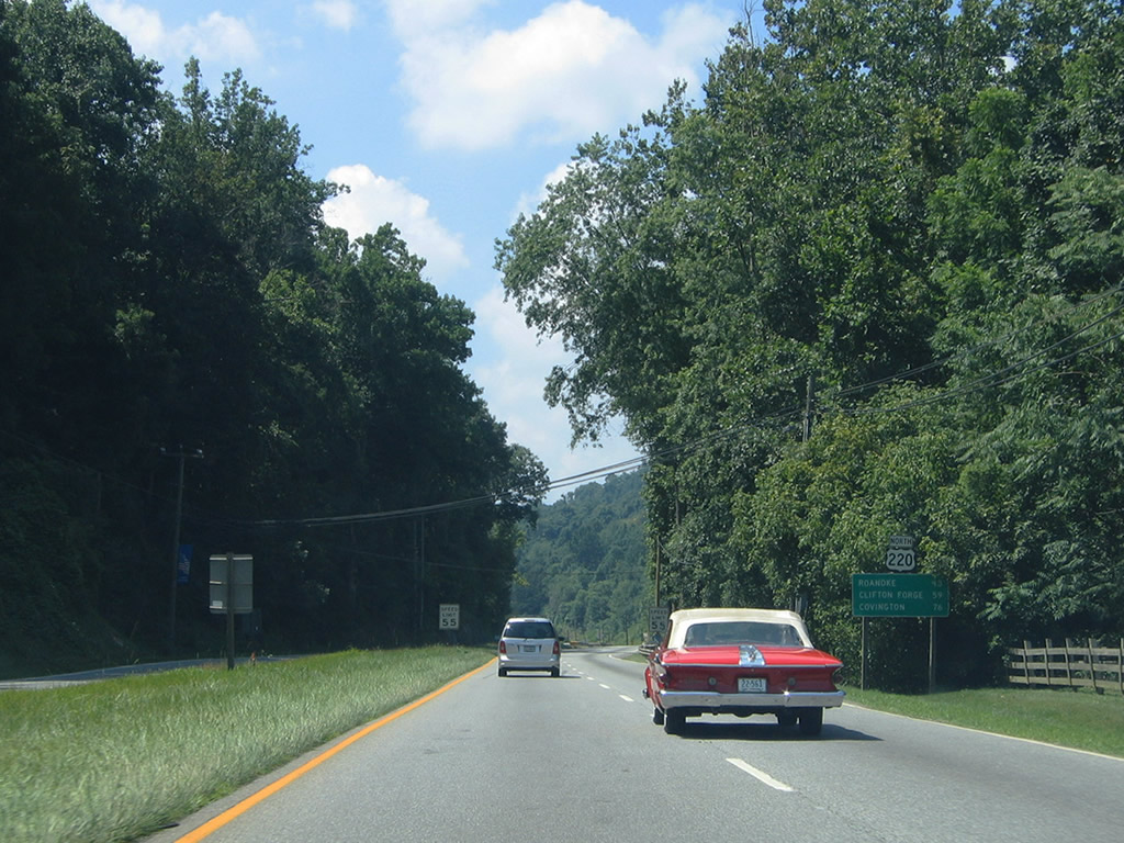
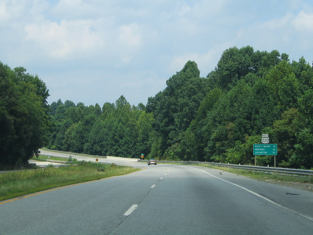
Covington joins Clifton Forge as the second control city beyond Roanoke for U.S. 220 north. U.S. 220 merges with I-64/U.S. 60 between the two mountain communities.
07/24/04

Photo Credits:
- Alex Nitzman: 07/24/04
Page Updated Monday April 26, 2021.