
U.S. 220 South - Henry County / Martinsville

 South
South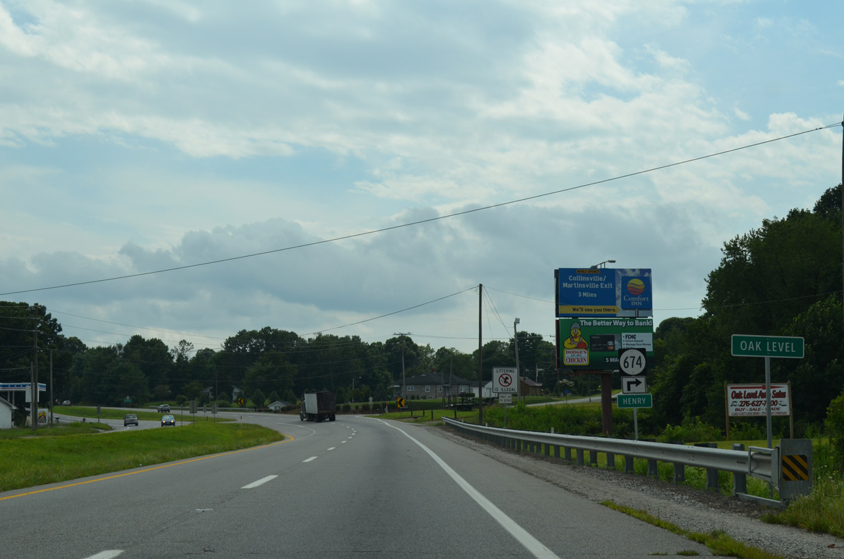
Oak Level lies just south of the Franklin County line along U.S. 220 (Virginia Avenue) at SR 606 (Oak Level Road).
08/06/13
08/06/13
SR 674 (Oak Level Road) 7.04 miles south to SR 57 (Fairystone Park Highway) was part of the 1920s alignment south from Rocky Mount to Martinsville.
08/06/13
08/06/13
08/06/13
08/06/13
08/06/13
08/06/13

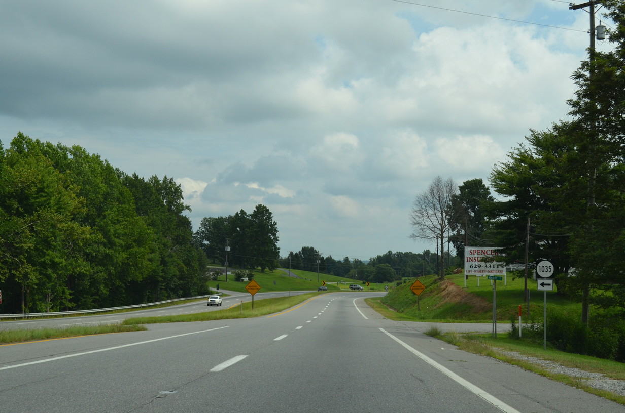
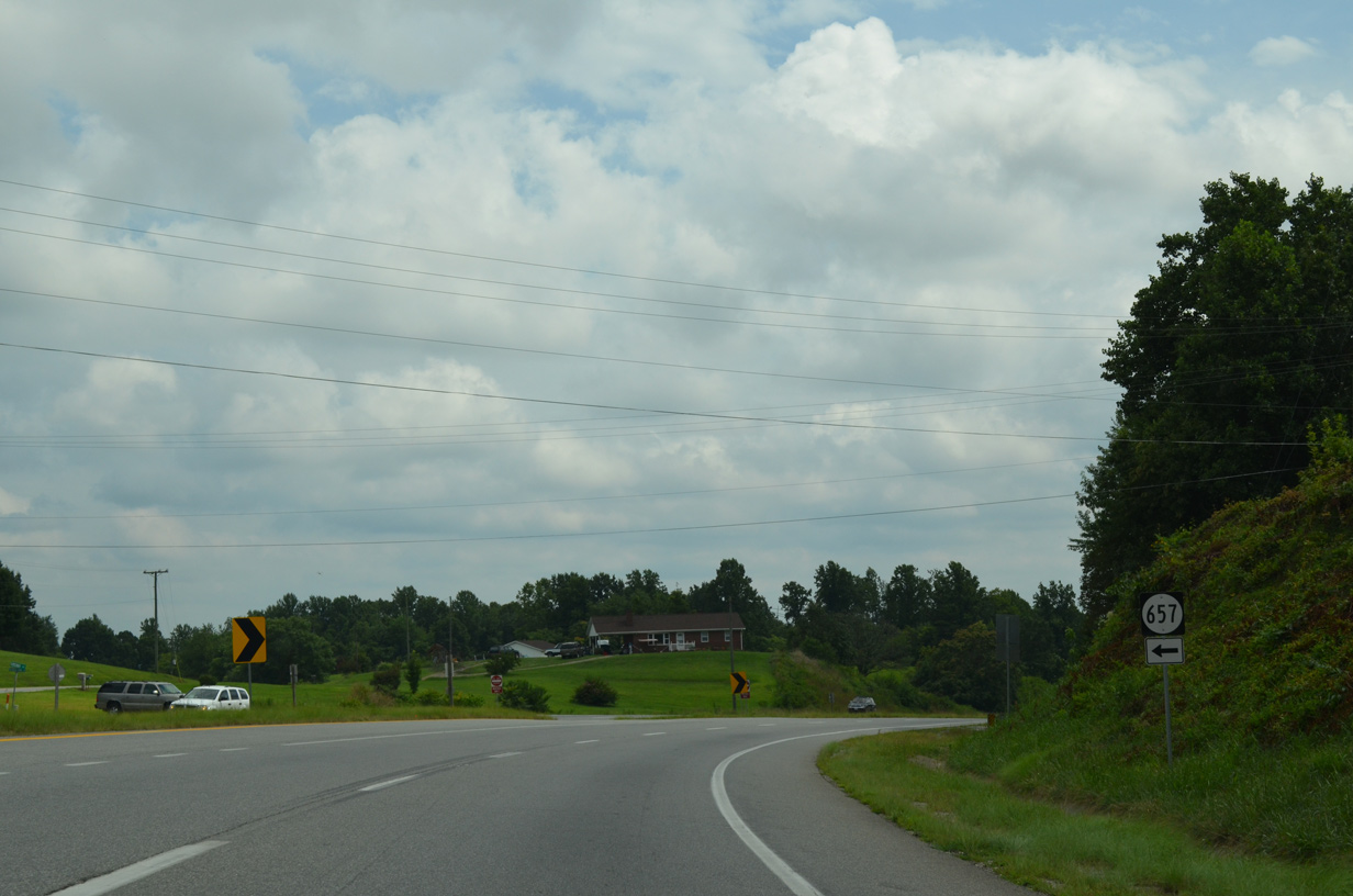
Removed by 2015, a Future I-73 Corridor sign previously appeared south of SR 657 (Rockwood Park Road) and east of the abandoned southbound roadway for U.S. 220.
08/06/13
08/06/13
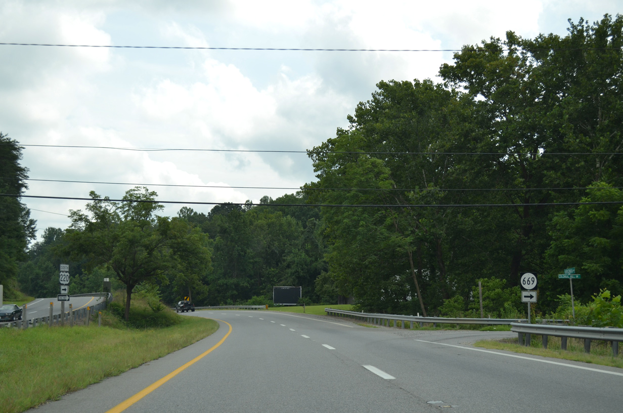
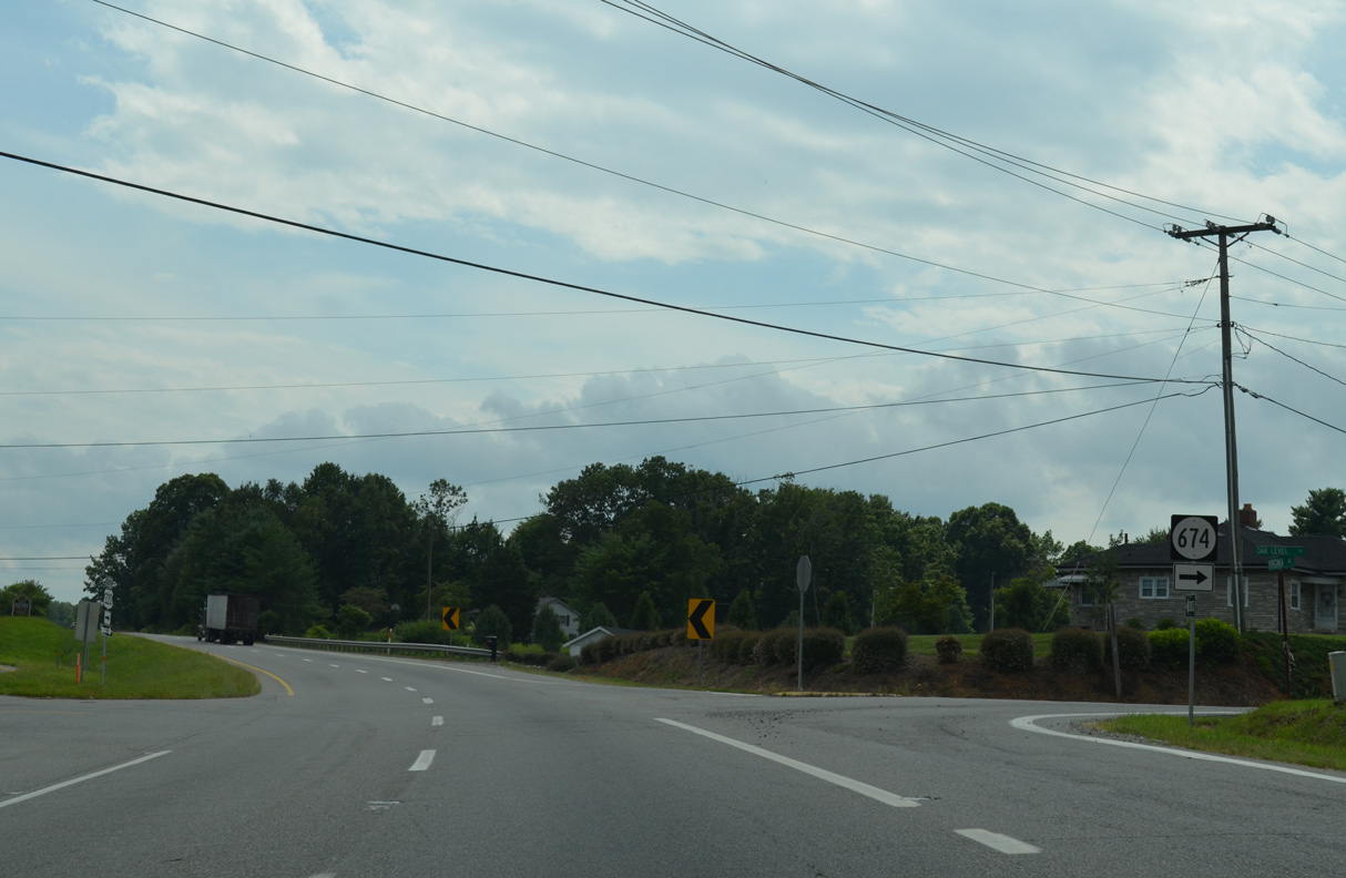
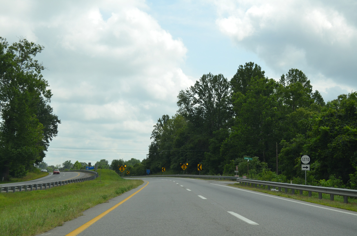
SR 669 (Colonial Hill Drive) links U.S. 220 (Virginia Avenue) with SR 606 (Oak Level Road), 0.6 miles to the west.
08/06/13
08/06/13
08/06/13
08/06/13
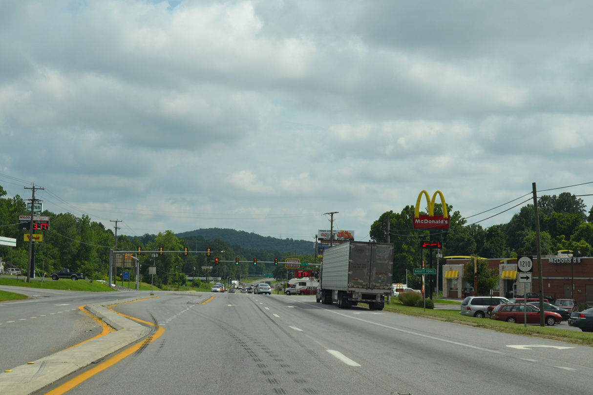
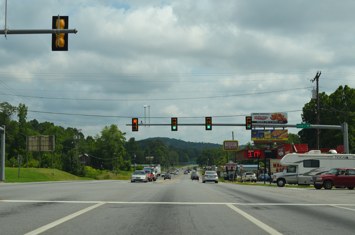
U.S. 220 (Virginia Avenue) intersects SR 1210 (Dyer Street) west at Bassett Forks.
08/06/13
08/06/13
08/06/13

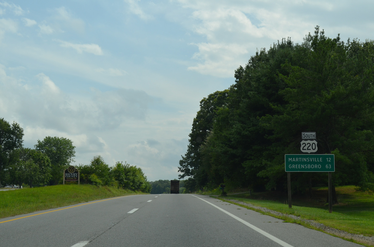
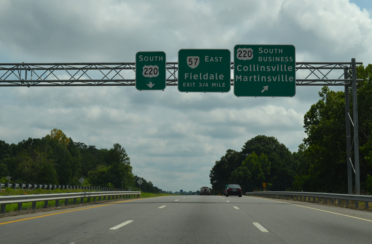
U.S. 220 (William F. Stone Highway) upgrades to a freeway at the cloverleaf interchange with SR 57 (Fairystone Park Highway) west and U.S. 220 Business (Virginia Avenue) south. SR 57 parallels the Smith River northwest to Stanleytown and Bassett along a 20.4 mile long loop to Fairy Stone State Park and SR 8 north of Stuart.
08/06/13
08/06/13
U.S. 220 Business loops east from U.S. 220/SR 57 along a 10.78 mile course through Collinsville and the independent city of Martinsville.
08/06/13
08/06/13
South 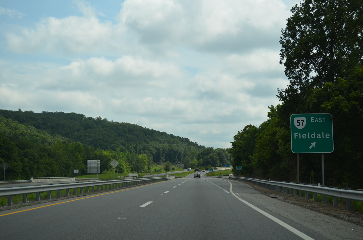
SR 57 turns south alongside U.S. 220 for 0.89 miles to a wye interchange with Appalachian Drive. SR 57 resumes along the Smith River southeast to Martinsville via Payne, Fieldale and Koehler.
08/06/13
08/06/13
South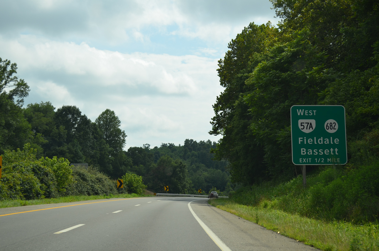
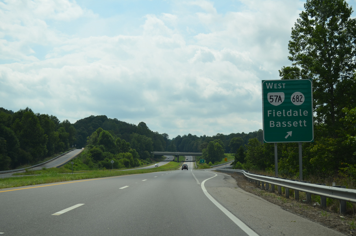
SR 57A follows N River Road and Riverside Drive northwest 4.09 miles from U.S. 220 and SR 682 to SR 57 (Fairystone Parkway Highway) at Bassett.
08/06/13
08/06/13
River Road continues south from SR 57A and the diamond interchange with U.S. 220 (William F. Stone Highway) into the community of Fieldale.
08/06/13
08/06/13

08/06/13
08/06/13
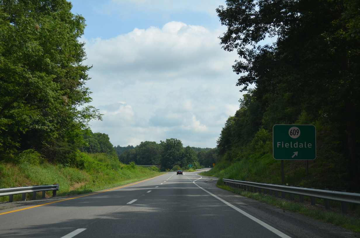
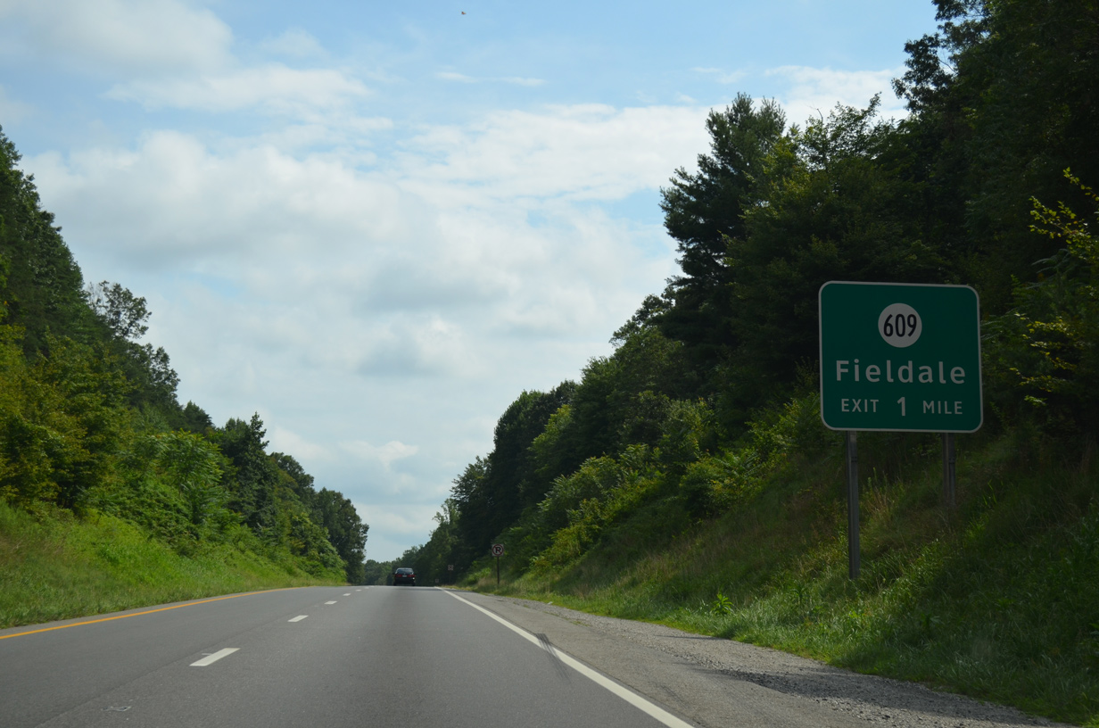
SR 609 (Dillons Fork Road) climbs westward along a winding course 1.59 miles from SR 701 (Field Avenue) in Fieldale to a diamond interchange with U.S. 220 by Rangeley.
08/06/13
08/06/13
08/06/13
08/06/13
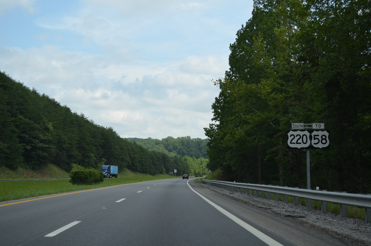
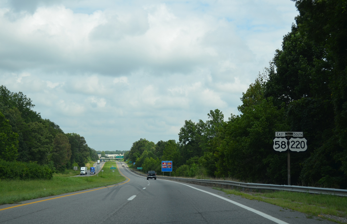
Paralleling Grassy Creek, U.S. 220 (William F. Stone Highway) advances south to a six-ramp parclo interchange with U.S. 58 west and U.S. 58 Business east along A.L. Philpott Highway.
08/06/13
08/06/13
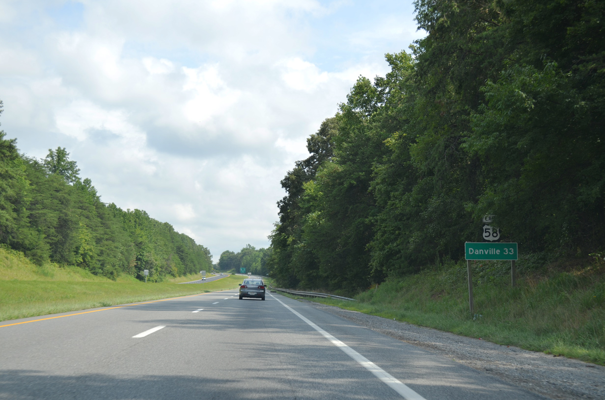
U.S. 58 combines with U.S. 220 south for 6.35 miles to bypass Martinsville en route to Danville, 33 miles to the east.
08/06/13
08/06/13
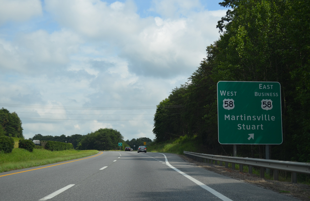
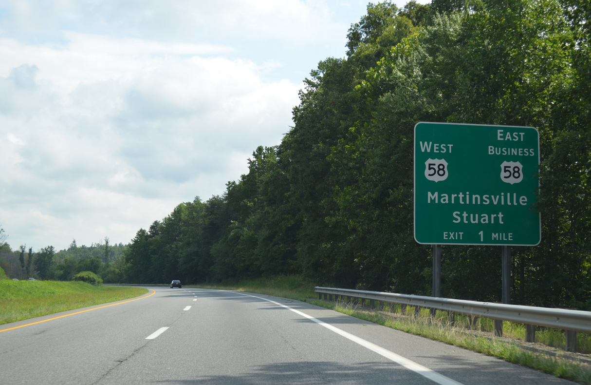
U.S. 58 travels across the southern tier of Virginia west to the Patrick County seat of Stuart en route to Hillsville, Galax and Bristol. U.S. 58 Business loops 9.90 miles north into Martinsville.
08/06/13
08/06/13
 East South
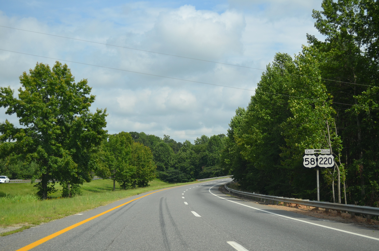
U.S. 58/220 (William T. Stone Highway) curve southeast by Dug Mountain.
08/06/13
08/06/13

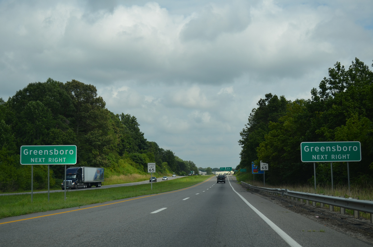
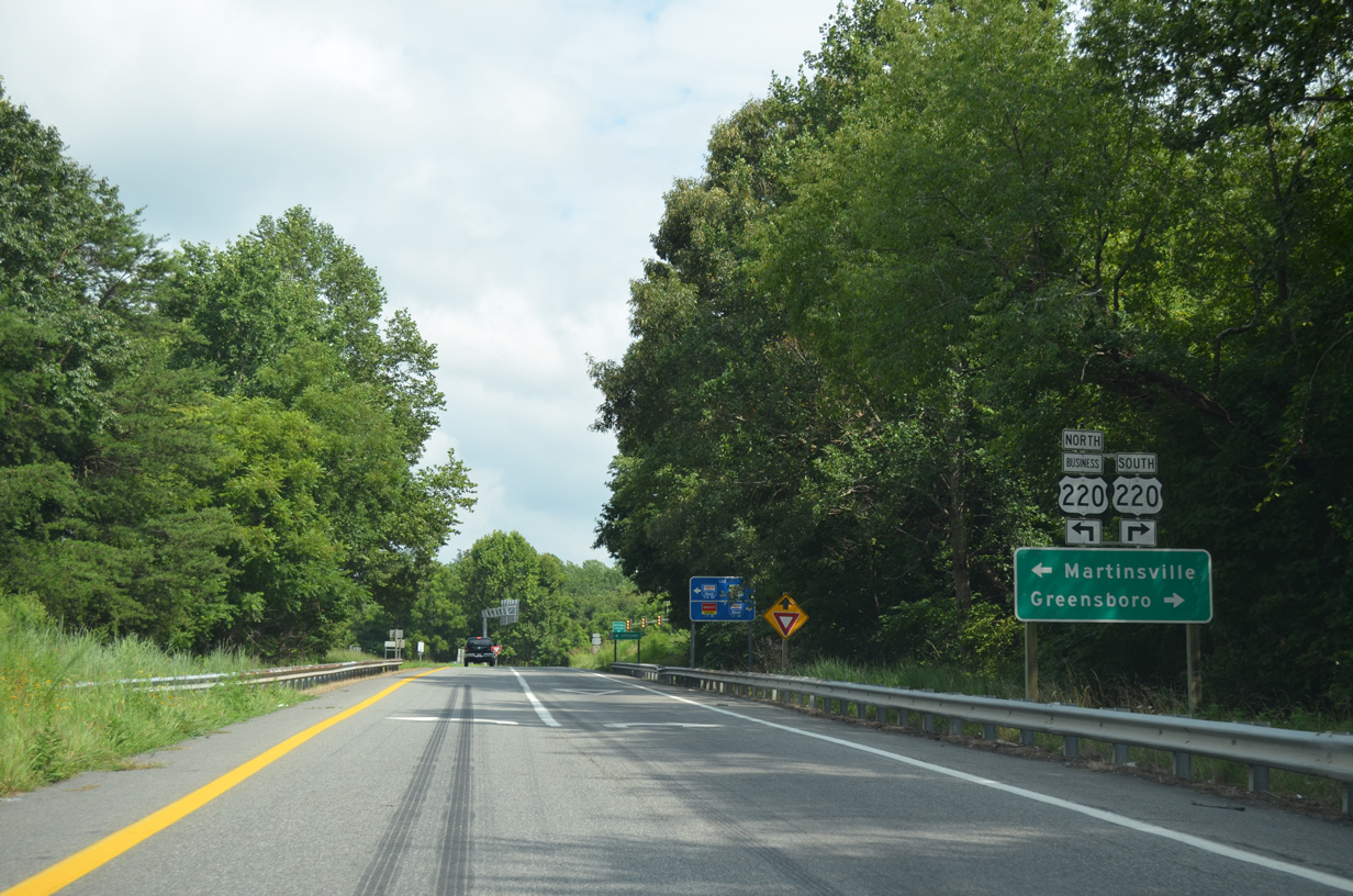
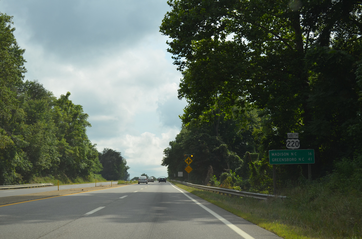
Axton is located 12 miles to the east near the Pittsylvania County line along U.S. 58. Greensboro, North Carolina is 47 miles to the south along U.S. 220 and I-73.
08/06/13
08/06/13
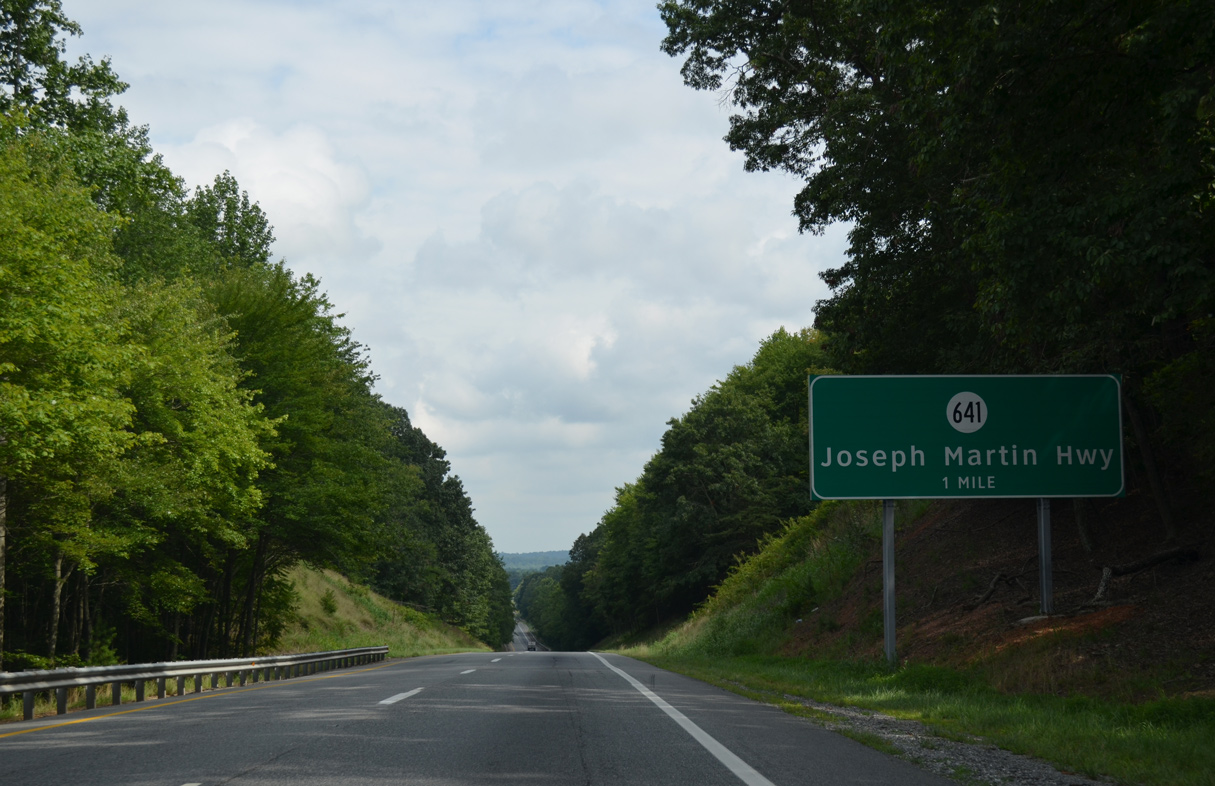
A parclo B2 interchange joins U.S. 58/220 with SR 641 (Joseph Martin Highway) in one mile.
08/06/13
08/06/13

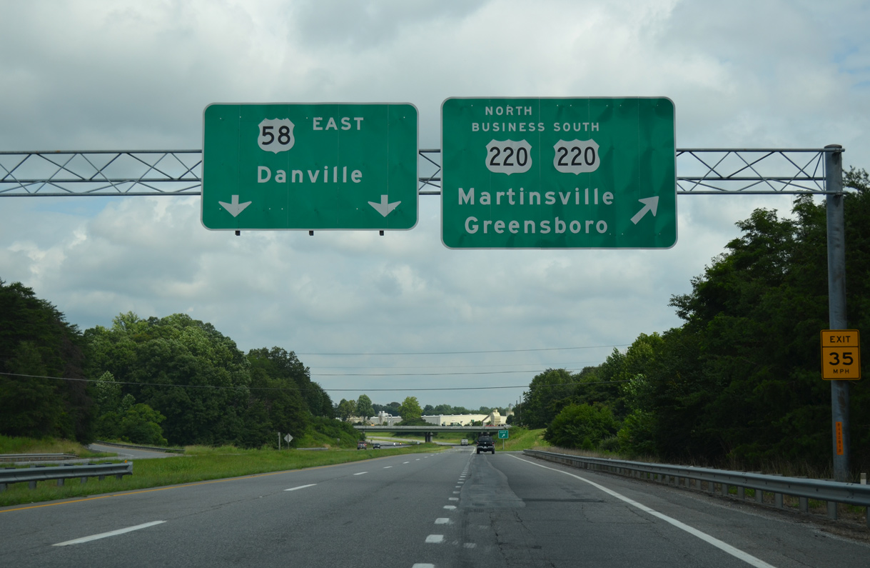
Joseph Martin Highway angles 1.45 miles northeast from U.S. 58/220 to U.S. 220 Business (Greensboro Road).
08/06/13
08/06/13
08/06/13
08/06/13
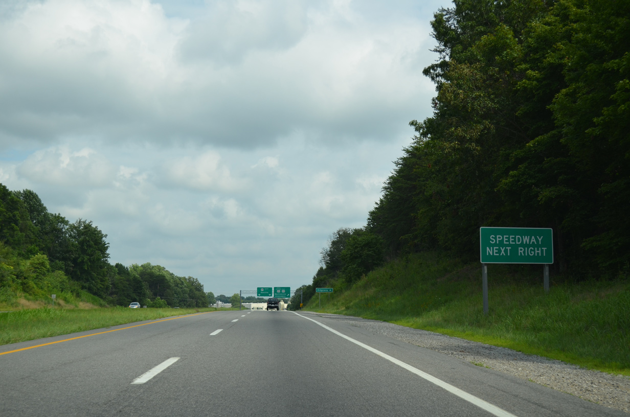
U.S. 220 Business (Greensboro Road) ties into the parclo interchange where U.S. 58/220 split south from Martinsville Speedway.
08/06/13
08/06/13
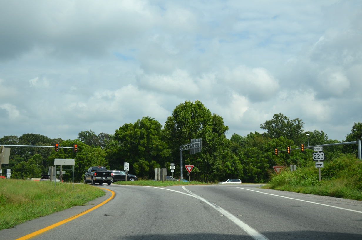
U.S. 220 (Greensboro Road) continues 6.66 miles south from U.S. 58 to the North Carolina line. U.S. 58 remains along the Martinsville bypass northeast 6.37 miles to U.S. 58 Business near Laurel Park.
08/06/13
08/06/13
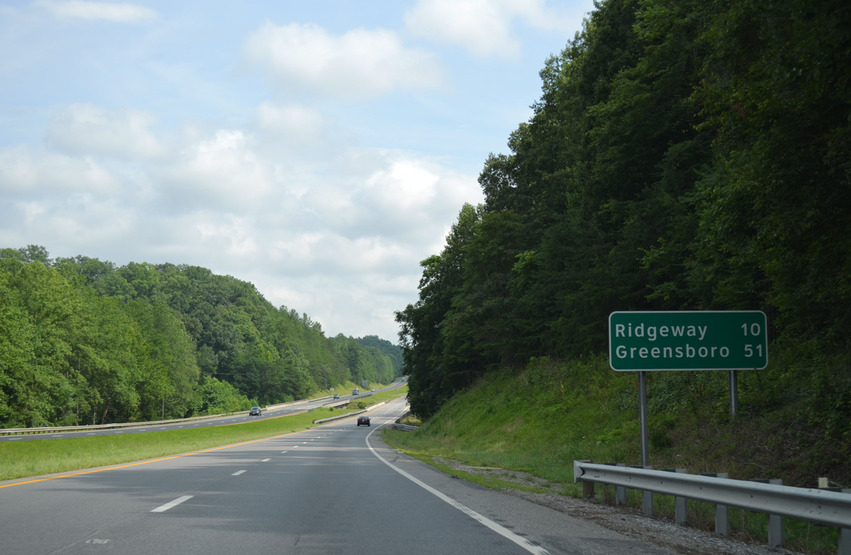
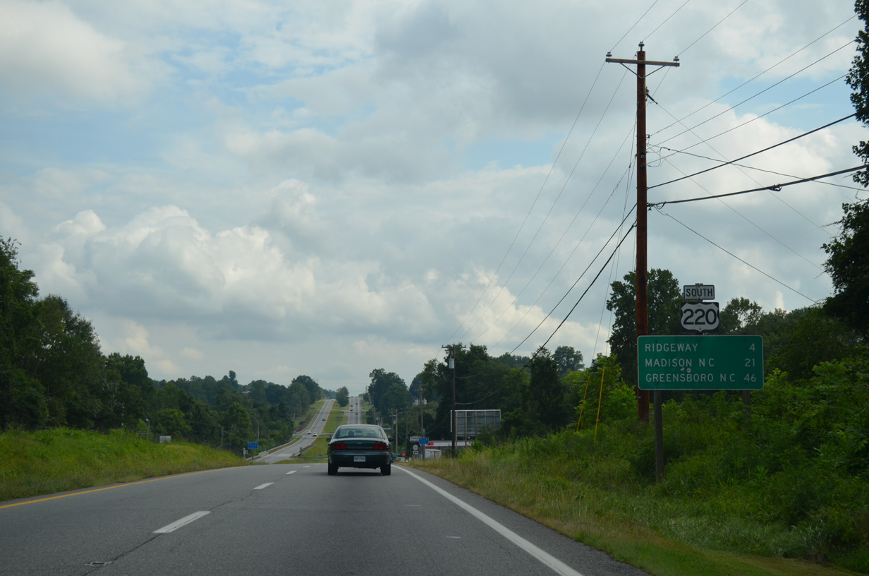
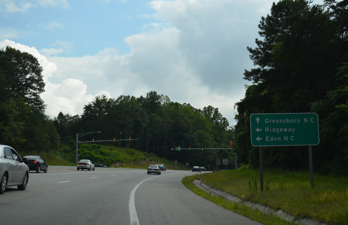
U.S. 220 travels to the town of Ridgeway en route to Greensboro, North Carolina.
08/06/13
08/06/13
08/06/13
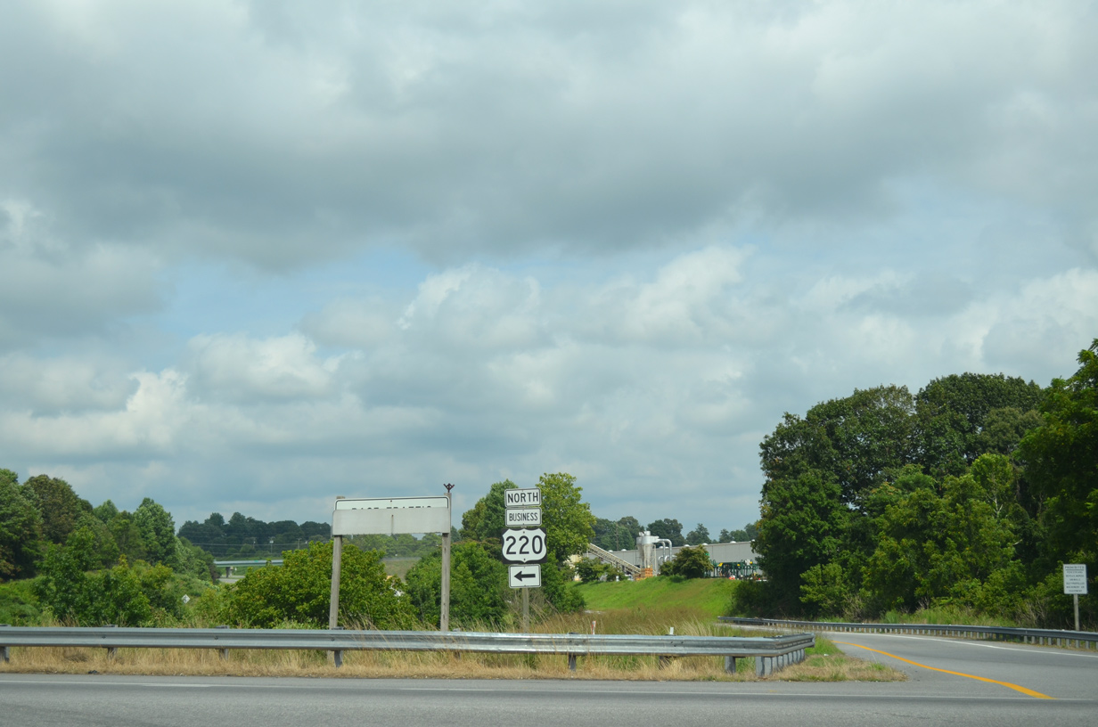
U.S. 220 Business (Greensboro Road) north combines with U.S. 58 Business (Memorial Boulevard) east across the Smith River into Martinsville in 3.21 miles.
08/06/13
08/06/13
South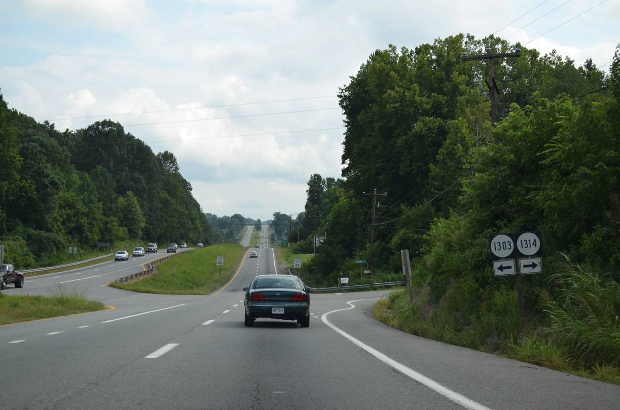
U.S. 220 (Greensboro Road) intersects SR 1314 (Kilarney Court) and SR 1303 (Villa Road) at Marrowbone Heights.
08/06/13
08/06/13
08/06/13
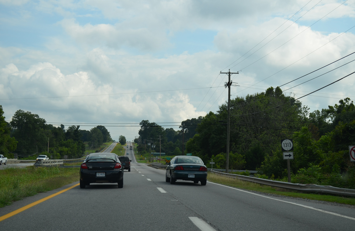
U.S. 220 (Greensboro Road) spans Marrowbone Creek between SR 1313 (Shamrock Drive) and SR 1310 (Covington Lane).
08/06/13
08/06/13
08/06/13
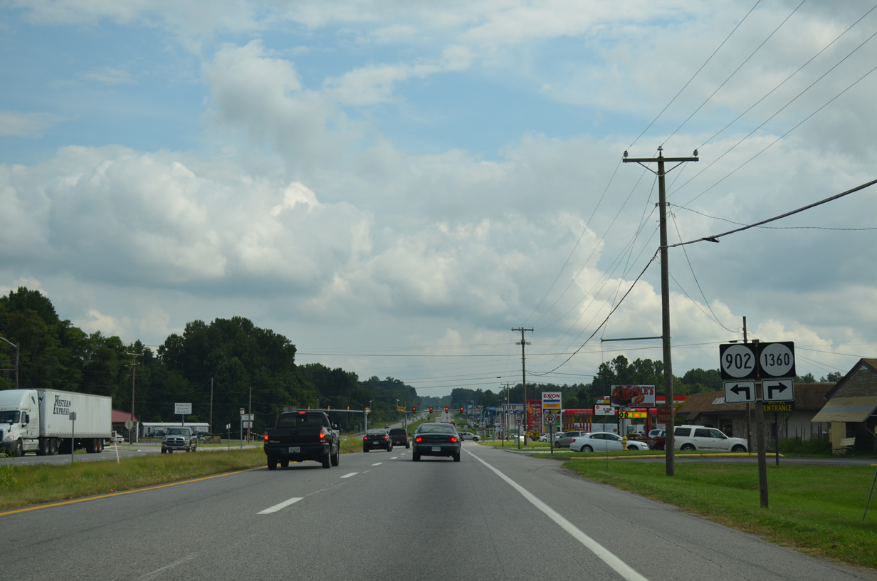
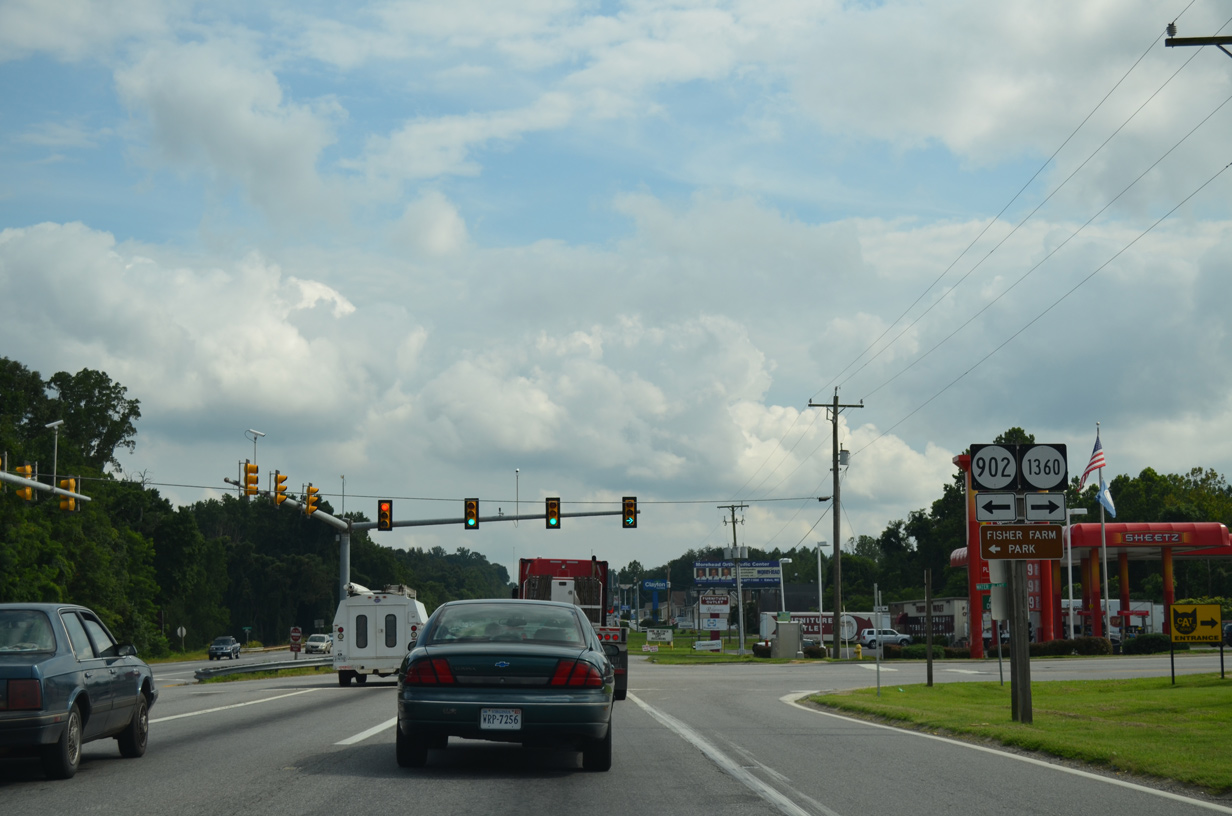
SR 902 (Mica Road) loops east from U.S. 220 (Greensboro Road) onto Sheffield Hill. Mica Road south to U.S. 220 Business (Main Street) in Ridgeway was the alignment of U.S. 220 in the 1940s.
08/06/13
08/06/13
08/06/13
08/06/13
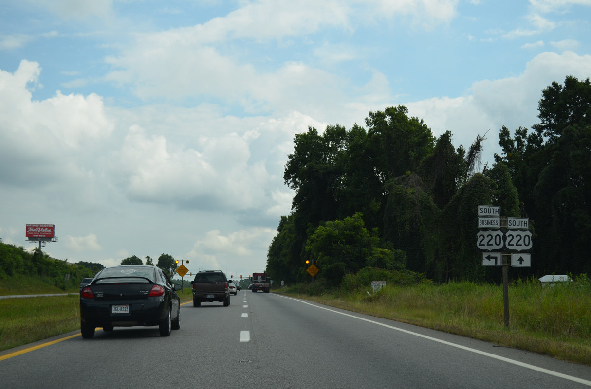
U.S. 220 Business angles southeast from U.S. 220 at SR 687 (Soapstone Road) along Main Street) to SR 87 (Morehead Avenue) in the town of Ridgeway.
08/06/13
08/06/13
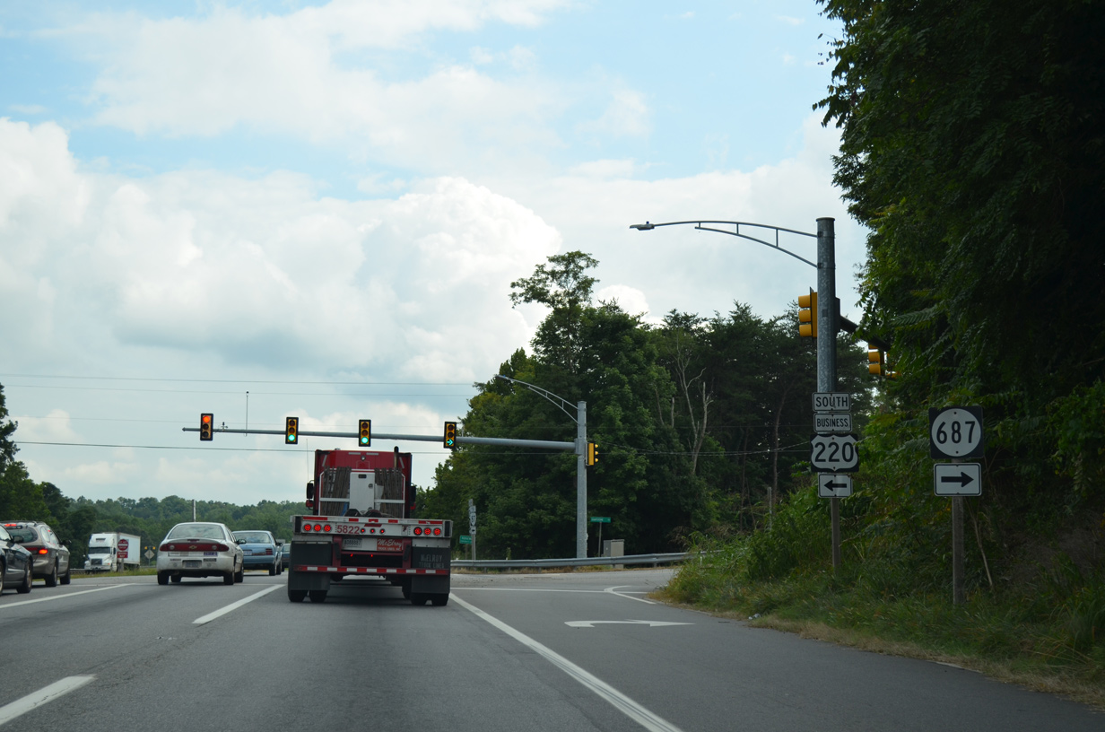
SR 687 (Soapstone Road) ascends northwest to Chestnut Knob on a 6.60 mile course to U.S. 58 at Horse Pasture.
08/06/13
08/06/13
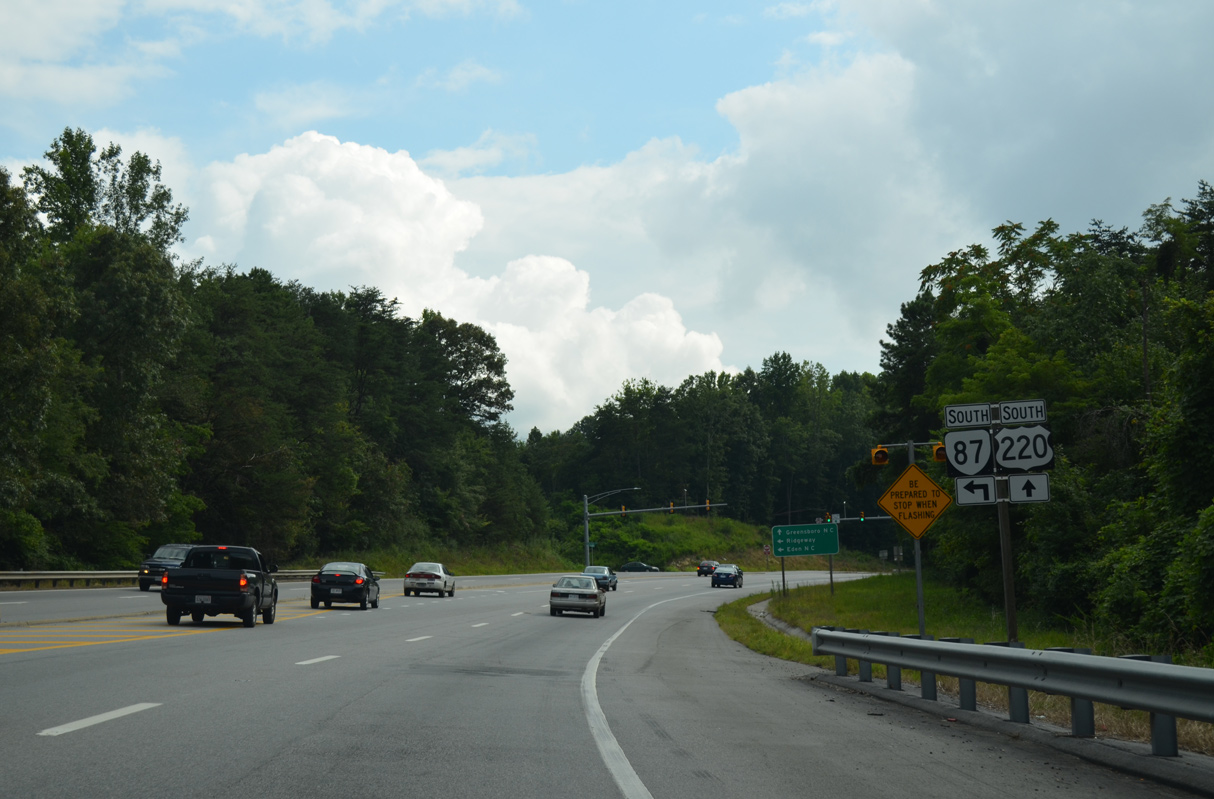
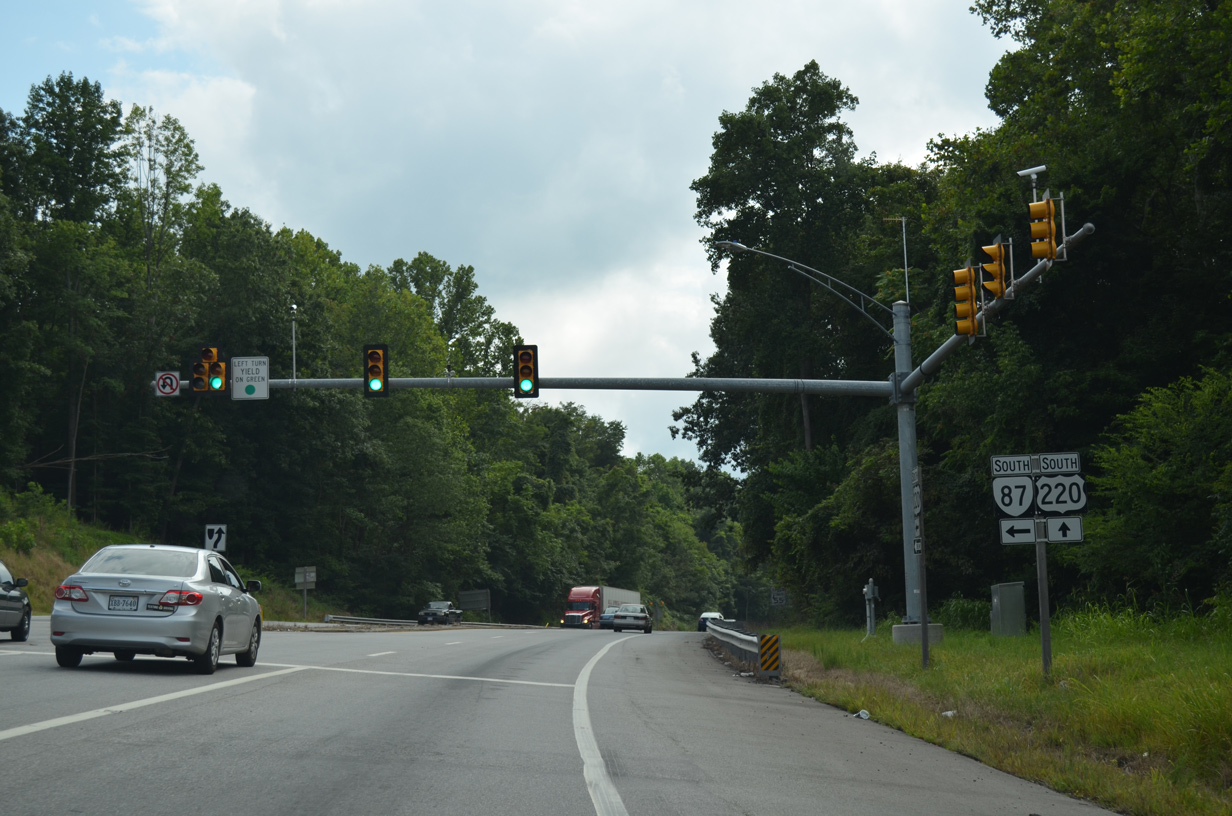
SR 87 (Morehead Avenue) extends 4.10 miles northwest from the North Carolina state line to U.S. 220 (Greensboro Road) in Ridgeway.
08/06/13
08/06/13
SR 87 is part of a lengthy multi state highway with NC 87 southeast to Eden, Reidsville, Burlington and ultimately Southport along the Atlantic Coast.
08/06/13
08/06/13
08/06/13
U.S. 220 leaves the Ridgeway town limits midway between SR 87 (Morehead Avenue) and the return of U.S. 220 Business on Church Street.
08/06/13
08/06/13
08/06/13
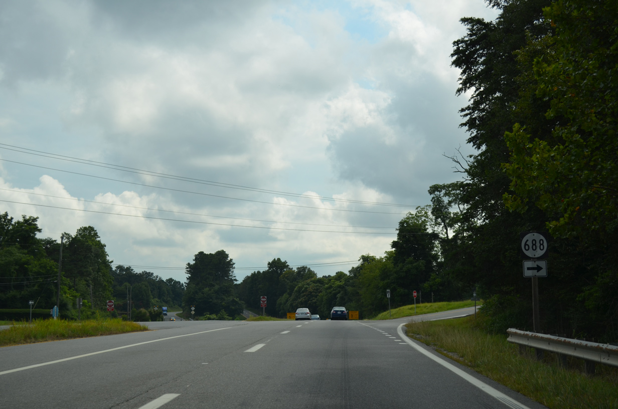
U.S. 220 Business (Church Street) south returns to U.S. 220 across from SR 688 (Lee Ford Camp Road).
08/06/13
08/06/13
08/06/13
08/06/13
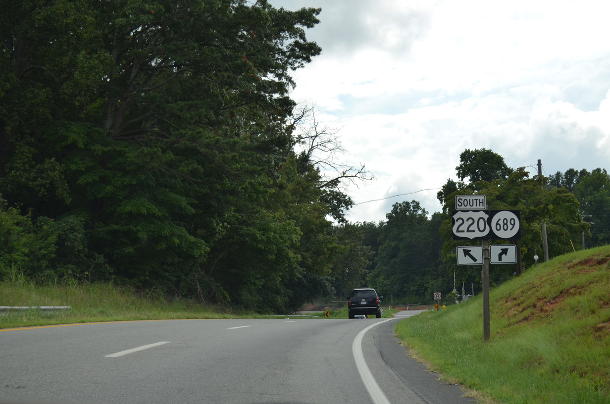
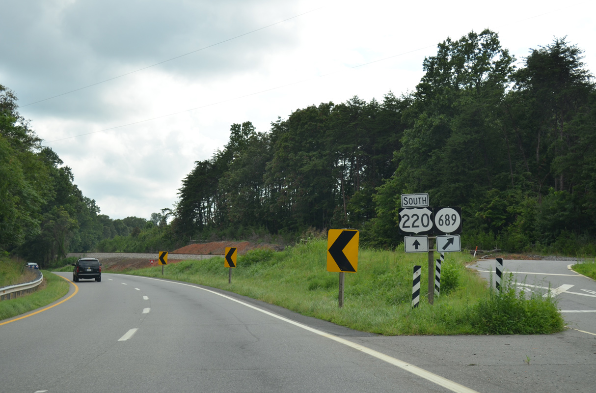
SR 689 (Reservoir Road) spurs north to Marrowbone Reservoir.
08/06/13
08/06/13
08/06/13
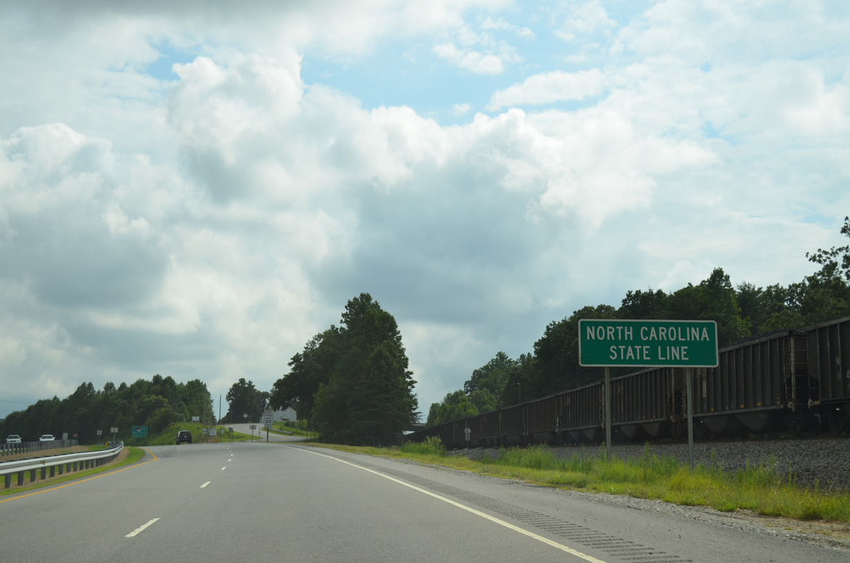
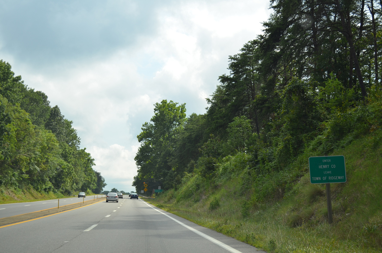
U.S. 220 runs 20.60 miles south through Rockingham County, North Carolina.
08/06/13
08/06/13
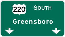

Photo Credits:
- AARoads: 08/06/13
Connect with:
Page Updated Monday April 26, 2021.