
U.S. 360 East - U.S. 15 to Richmond

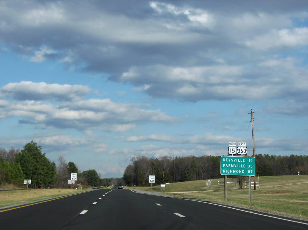
U.S. 15 north / U.S. 360 east overlap for 11 miles along Kings Highway between Wylliesburg and Keysville.
12/21/08
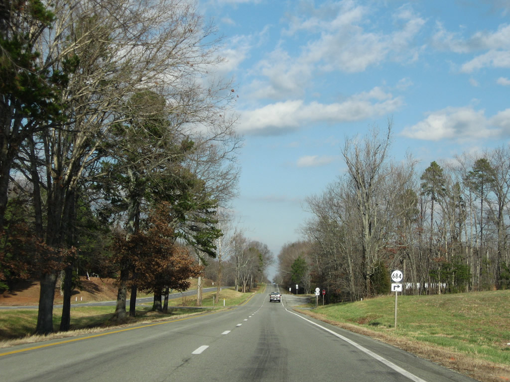
SR 684 (Quarter Horse Road) ties into U.S. 15/360 (Kings Highway) from SR 603 (Moody Creek Road).
12/21/08
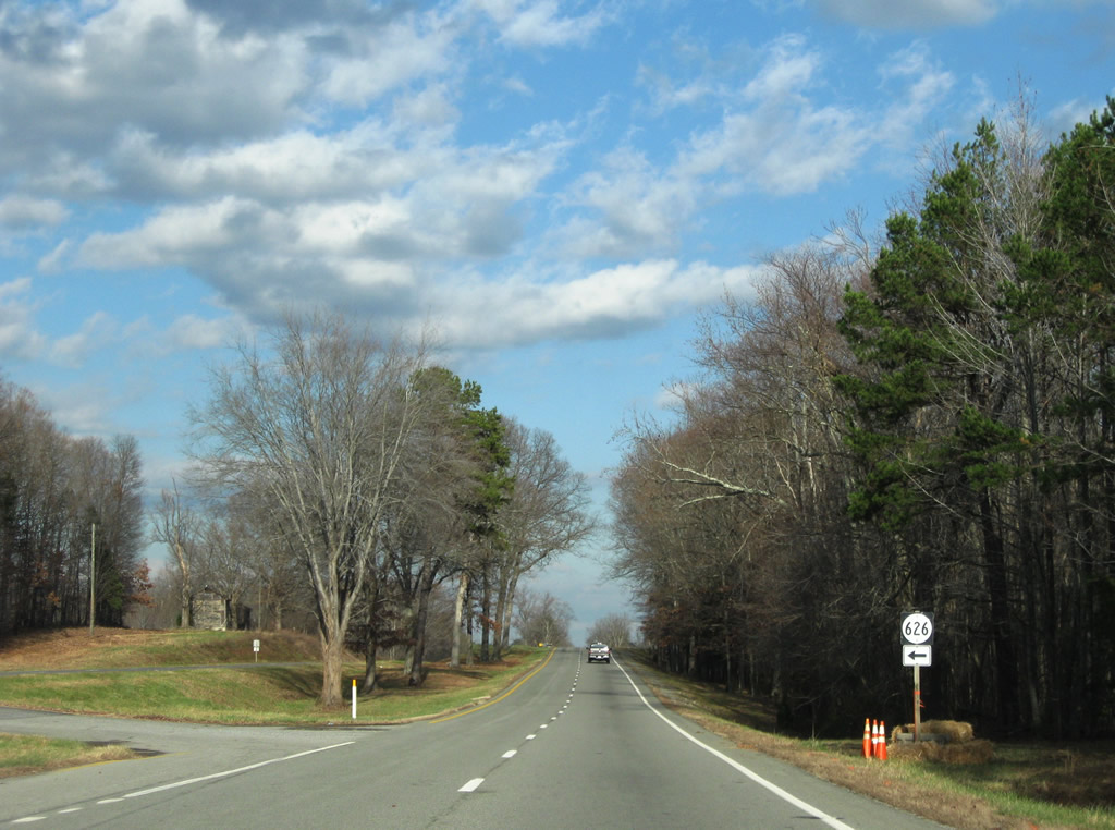
SR 626 follows along Hatchet Road to connect Kings Highway with SR 606 (Bacon School Road).
12/21/08
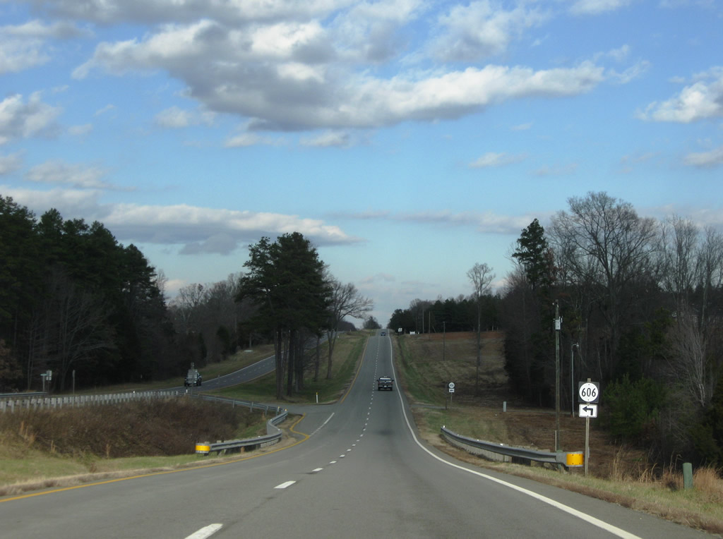
SR 606 continues east along Bacon School Road to its end at U.S. 15/360 (Kings Highway).
12/21/08
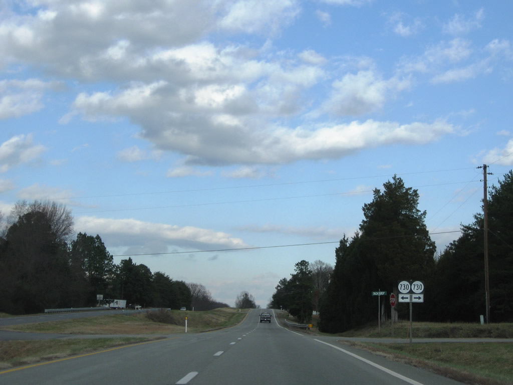
Next is the intersection with SR 730 (Shiloh Church Road) on U.S. 15/360 north.
12/21/08
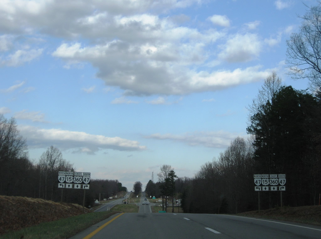
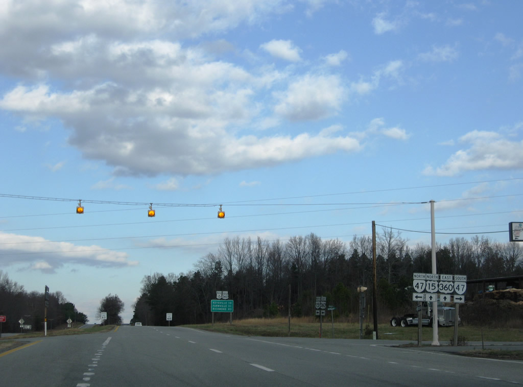
SR 47 (Craftons Gate Highway) crosses paths with U.S. 15/360 midway between Chase City and Drakes Branch. The 60 mile route travels between South Hill and Pamplin City.
12/21/08
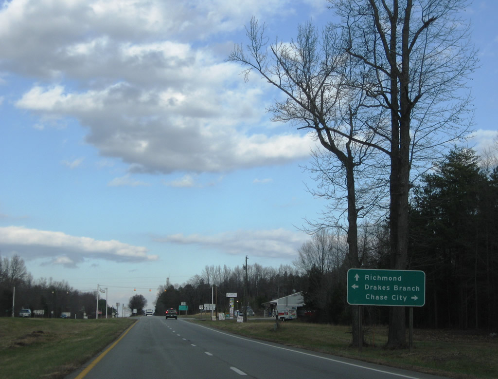
U.S. 15/360 (Kings Highway) east at SR 47 (Craftons Gate Highway). SR 47 reaches Chase City in nine miles and Charlotte Court House, the county seat, in 13 miles.
12/21/08
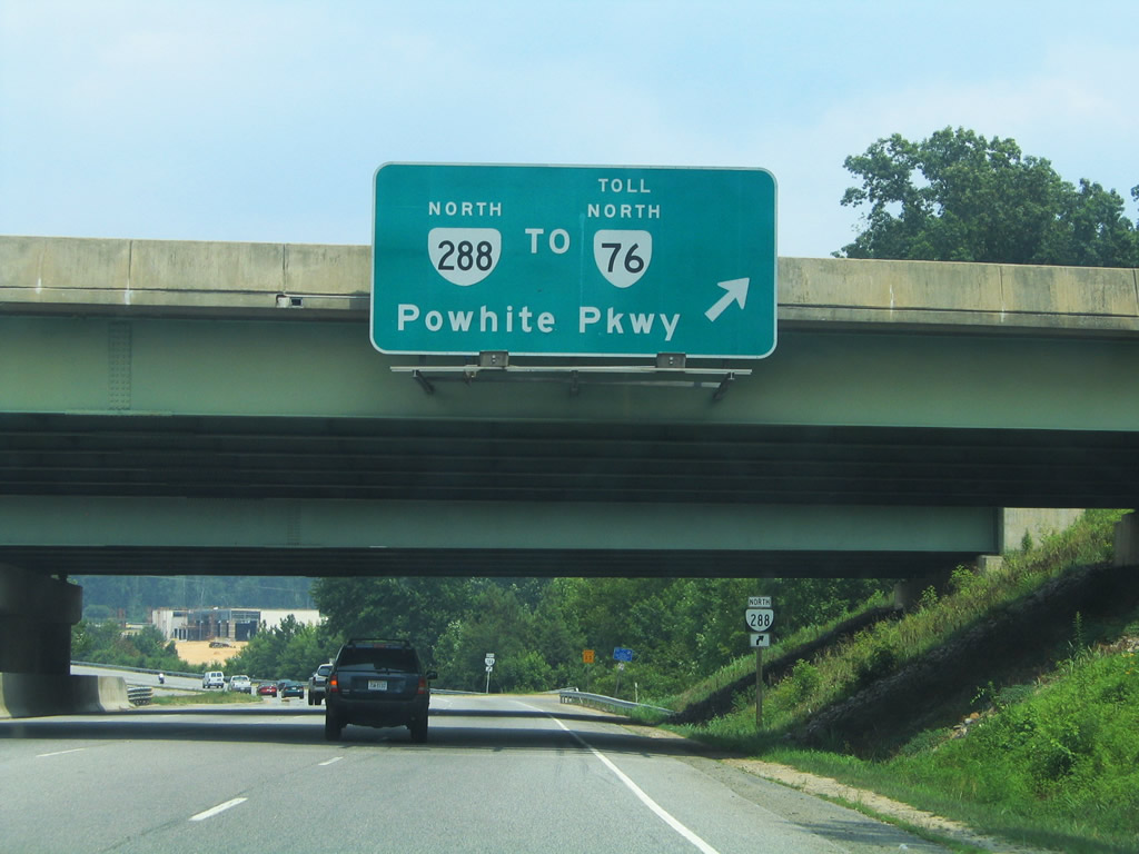
U.S. 360 (Hull Street Road) meets SR 288 at a cloverleaf interchange east of Swift Creek Reservoir. SR 288 travels north 2.8 miles from Hull Street Road to SR 76 (Powhite Parkway). The two freeways provide commuter access to downtown Richmond from the southwestern suburbs.
07/11/05
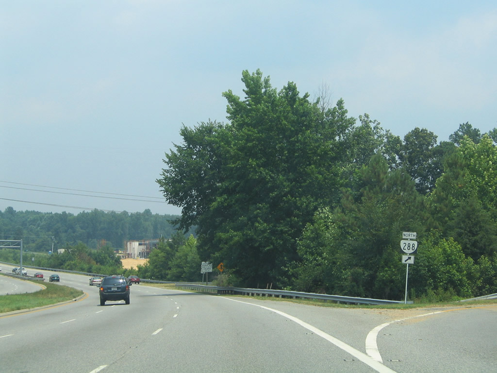
SR 288 provides a 30.2 mile bypass/commuter freeway around the southwest side of the Richmond metropolitan area.
07/11/05
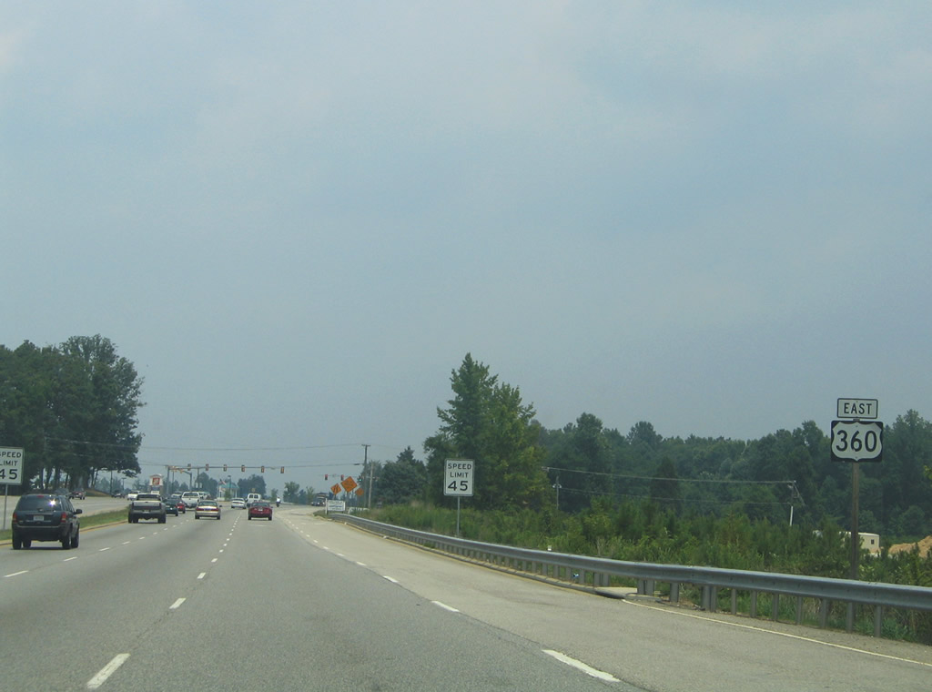
U.S. 360 (Hull Street Road) crosses Nuttree Branch and enters additional commerical areas east of SR 288.
07/11/05
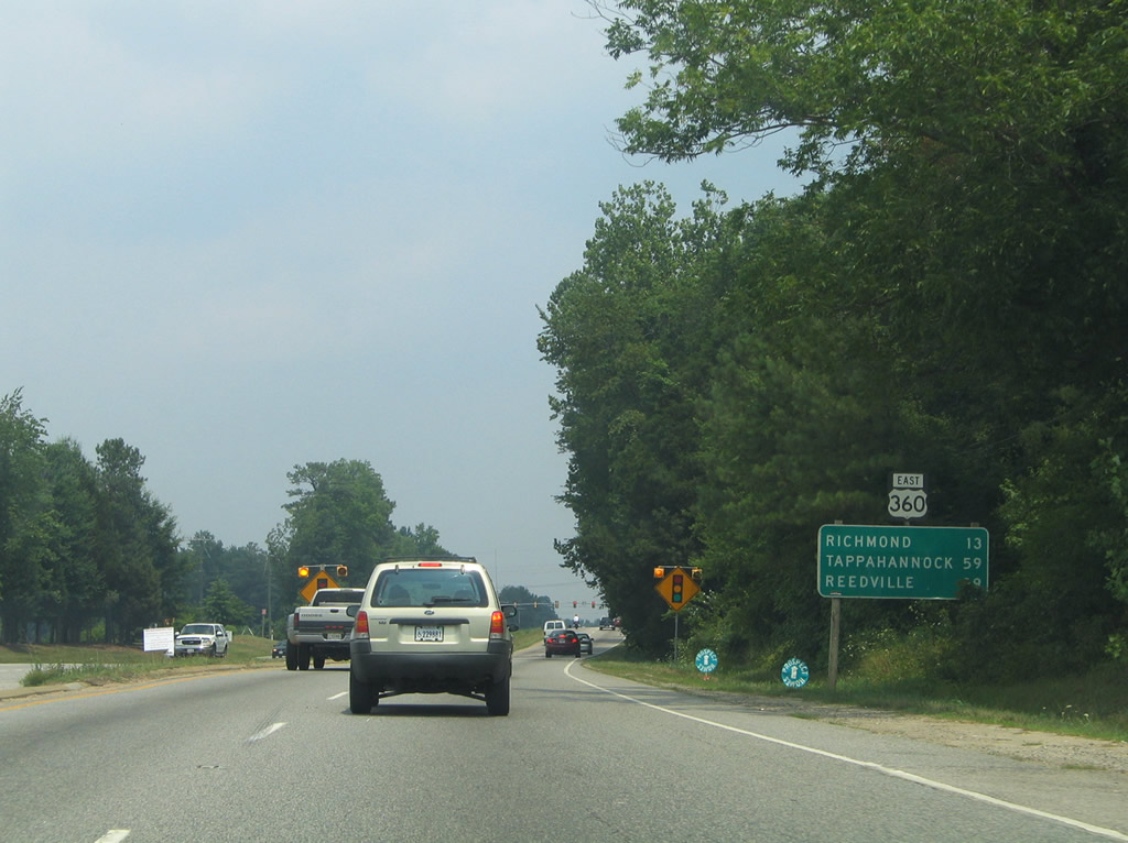
East of the Lonas Parkway traffic light is this eastbound reassurance shield and distance sign. Reedsville, the east end of U.S. 360, is the last control city.
07/11/05
Photo Credits:
- ABRoads: 12/21/08
- Alex Nitzman: 07/11/05
Connect with:
Page Updated Wednesday May 19, 2010.