
U.S. 1

U.S. 1 starts out in southern Virginia as a rural route paralleling Interstate 85 from South Hill to Petersburg. The highway primarily serves local traffic through Mecklenburg, Brunswick and Dinwiddie Counties while through traffic uses I-85. A few stretches of the route were widened to four lanes before the freeway was built.
North through Petersburg and Colonial Heights and again at Richmond, U.S. 1 is vastly more urban. The route parallels I-95 from these cities northward to Alexandria, again serving generally local or commuter traffic while the bulk of through travelers stay along the heavily traveled freeway. Beyond Fredericksburg U.S. 1 is a congested suburban arterial route into Northern Virginia.
U.S. 1 Virginia Guides
North
South Hill to Petersburg - 13 photos
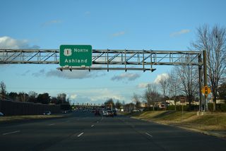
Glen Allen to Ashland - 34 photos
Northern Virginia - 39 photos
South
Arlington to Fairfax County - 32 photos
Woodbridge to Fredericksburg - 48 photos
Richmond to Petersburg - 45 photos
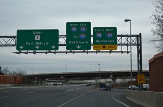
U.S. 1 measures 197.42 miles north from the North Carolina line to the Potomac River at Arlington. U.S. 1 combines with Interstate 395 (Shirley Memorial Highway) northeast from Crystal City in Arlington into Washington, D.C.
Passed in March 2010, House Bill 530 designated all of U.S. 1 in Virginia as "Historic Route 1" as a way to promote the route for economic development and tourism.1
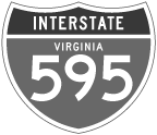
U.S. 1 through Crystal City in Arlington is partially a limited access expressway. The elevated roadway was planned to be part of the unconstructed Interstate 595, a $30 million, 0.7 mile long spur south from I-395 to Washington National Airport (DCA). The controversial freeway was approved in 1965 with construction set to begin in 1976. As opponents to the plan garnered support, a court order halted work before any ground was broken. This lead highway officials to a February 1979 decision dropping I-595 in favor of a $20 million plan to add ramps at S 15th and S 18th Streets instead.2
 scenes
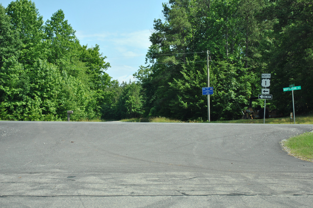
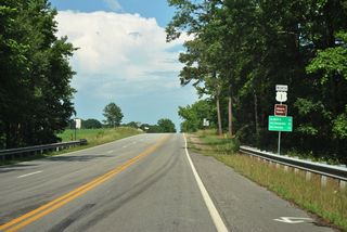
SR 637 (Old Indian Road) east meets U.S. 1 between the Meherrin River and Meredithville. U.S. 1 expands into a four lane highway on this stretch, a remnant from when U.S. 1 was the main route between Raleigh and Richmond.
06/01/12
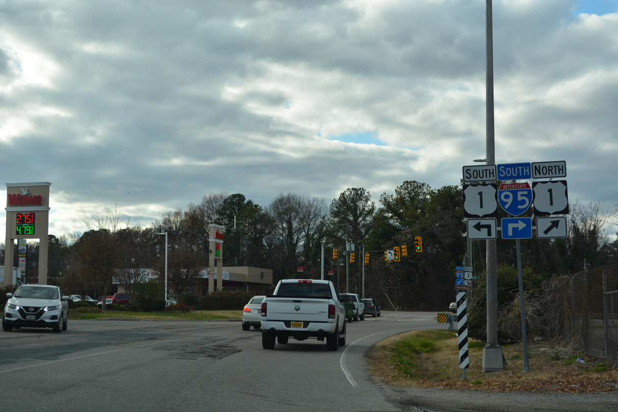
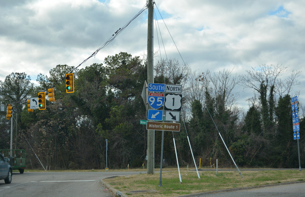
Wilmer Avenue links the loop ramp from northbound I-95 at Exit 81 with U.S. 1 (Brook Road) near Lakeside.
12/16/22
U.S. 1 lines Brook Road north from Azalea Avenue to Lakeside and Glen Allen. U.S. 1 south combines with U.S. 301 along Chamberlayne Road into Richmond from Azalea Avenue.
12/16/22
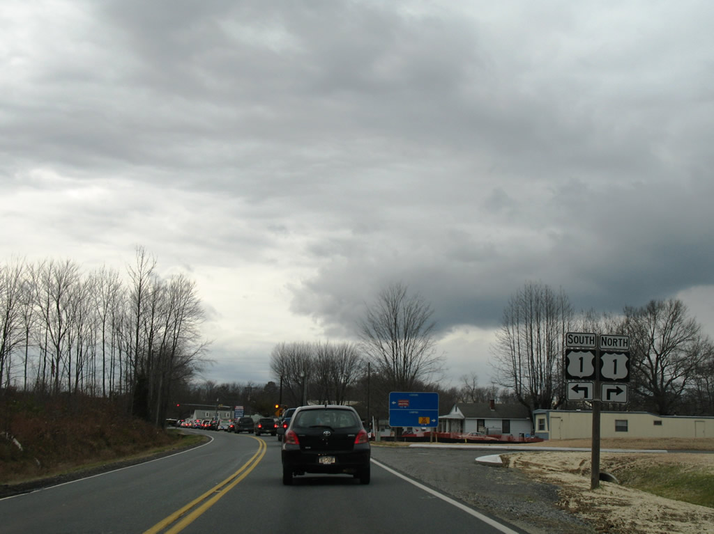
SR 606 (Mudd Tavern Road) meets U.S. 1 (Jefferson Davis Highway) at Thornburg west of the diamond interchange (Exit 118) with I-95. SR 606 continues west from Thornburg along Morris Road to Snell.
12/26/06
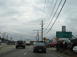
Curtis Drive east at Fraley Boulevard (U.S. 1) north and Graham Park Road east in Dumfries. U.S. 1 separates through the community on one way streets.
08/31/09
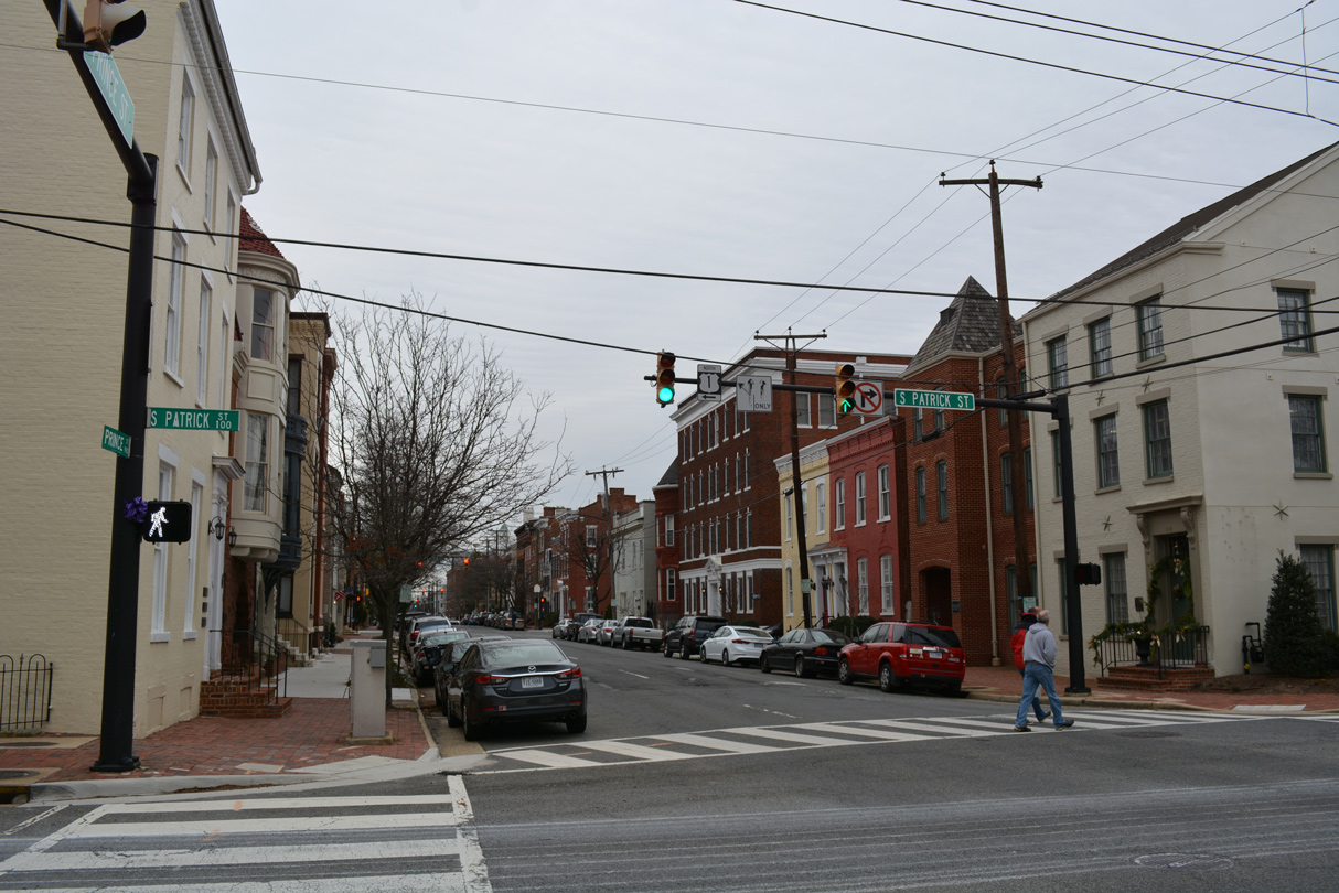
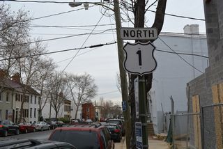
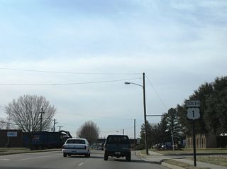
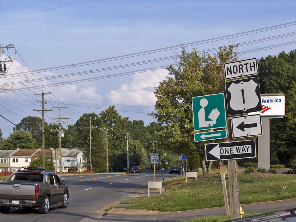
Prince Street east at U.S. 1 (Patrick Street) in Alexandria.
12/16/16
References:
- "Bill to designate US 1 as Historic Route 1 Passes."
http://chrispeace.com/2010/03/08/bill-to-designate-us-1-as-historic-route-1-passes/March 8, 2010. - "Va. Changes Design for Interstate." The Washington Post (DC), February 22, 1979.
Photo Credits:
- AARoads: 06/01/12
- Alex Nitzman: 12/26/06, 12/16/16, 12/16/22
- Will Weaver: 08/31/09
Connect with:
Page Updated Tuesday February 21, 2023.