
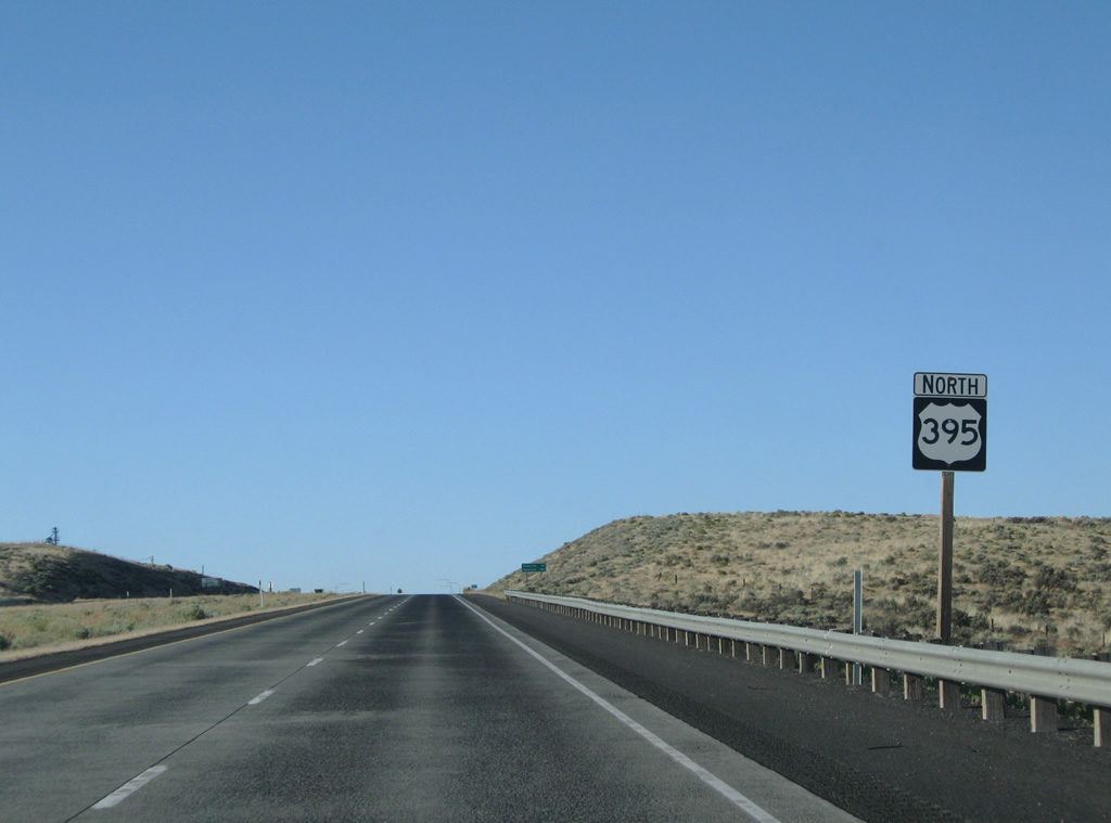
U.S. 395 North - Franklin County

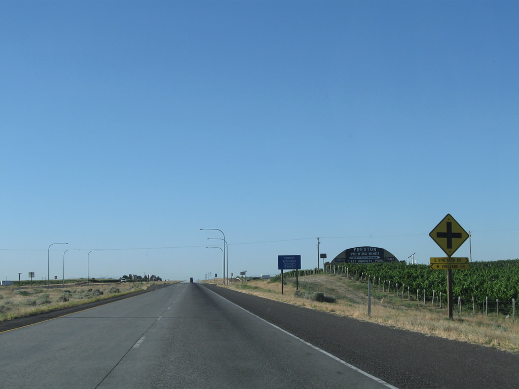
Vineyard Drive crosses paths with the U.S. 395 expressway at the next at-grade intersection. The local road serves agricultural interests adjacent to the US Route.
08/03/11
Selph Landing Road north and Crest Loch Road west tie into U.S. 395. Selph Landing Road represents the original U.S. 395 alignment leading south to Glade and Oregon Street.
08/03/11
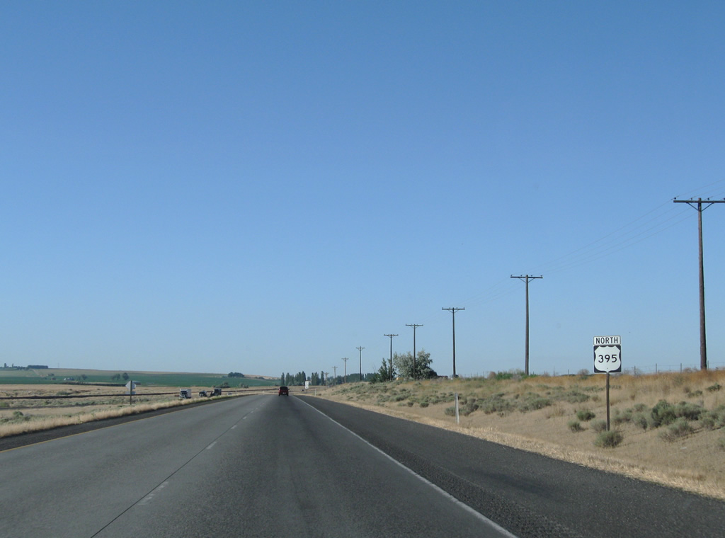
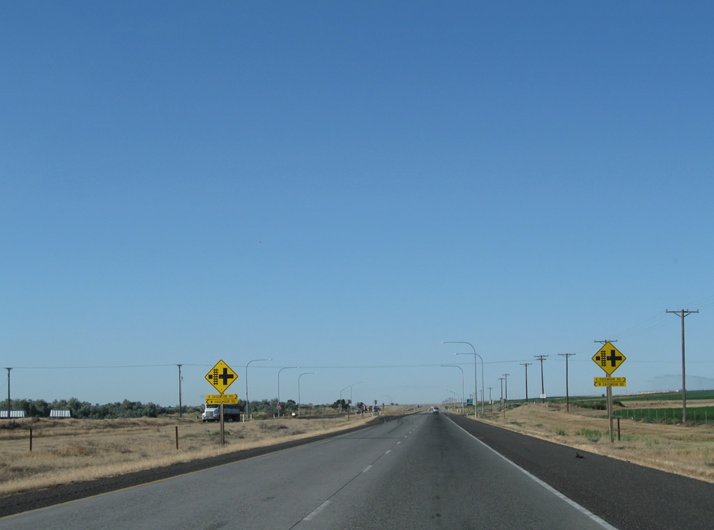
U.S. 395 and a BNSF Railroad line come together and parallel one another north to Sagemoor.
08/03/11
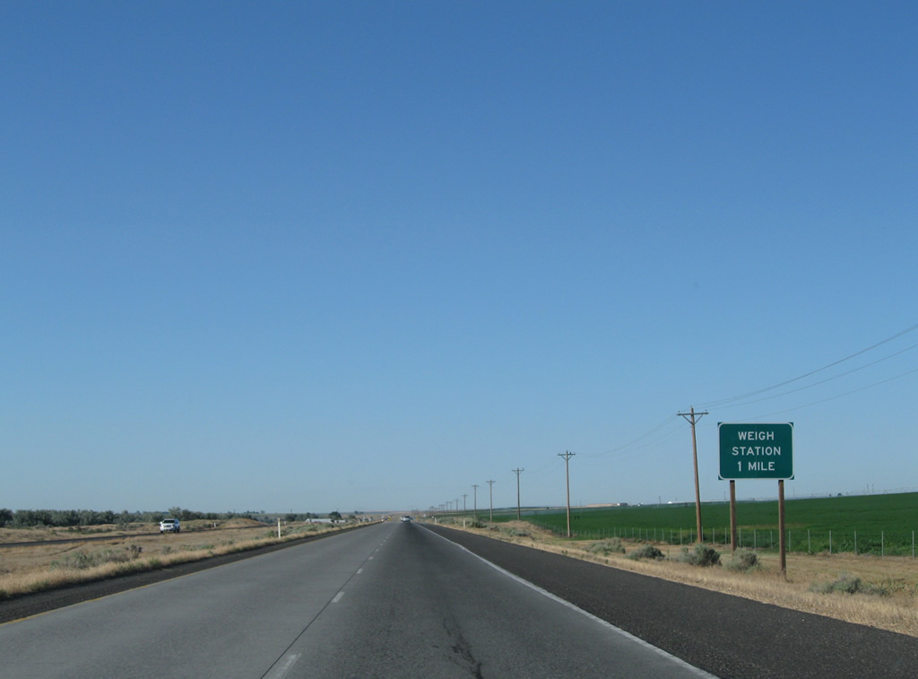
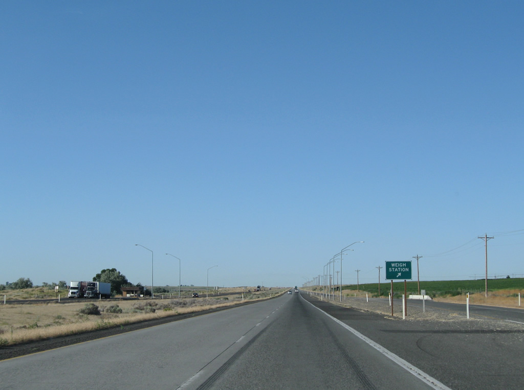
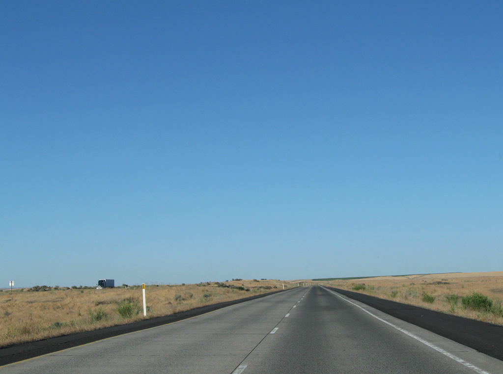
One mile south of a weigh station on U.S. 395 northbound at Sagemoor.
08/03/11
Sagemoor Road travels east-west through agricultural lands from the Columbia River to Frontier Road.
08/03/11
Weigh stations line both sides of U.S. 395 north of the intersection with Sagemoor Road.
08/03/11
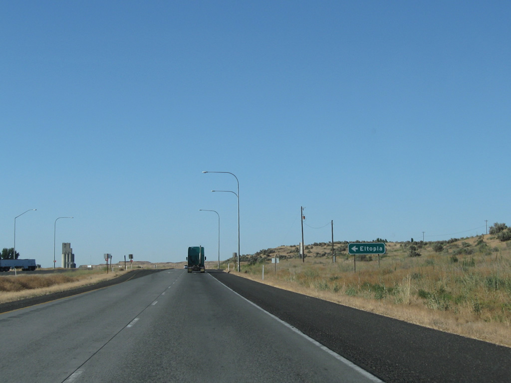
An uninterrupted stretch commences between the weigh stations at Sagemoor and Elm Road east near Eltopia.
08/03/11
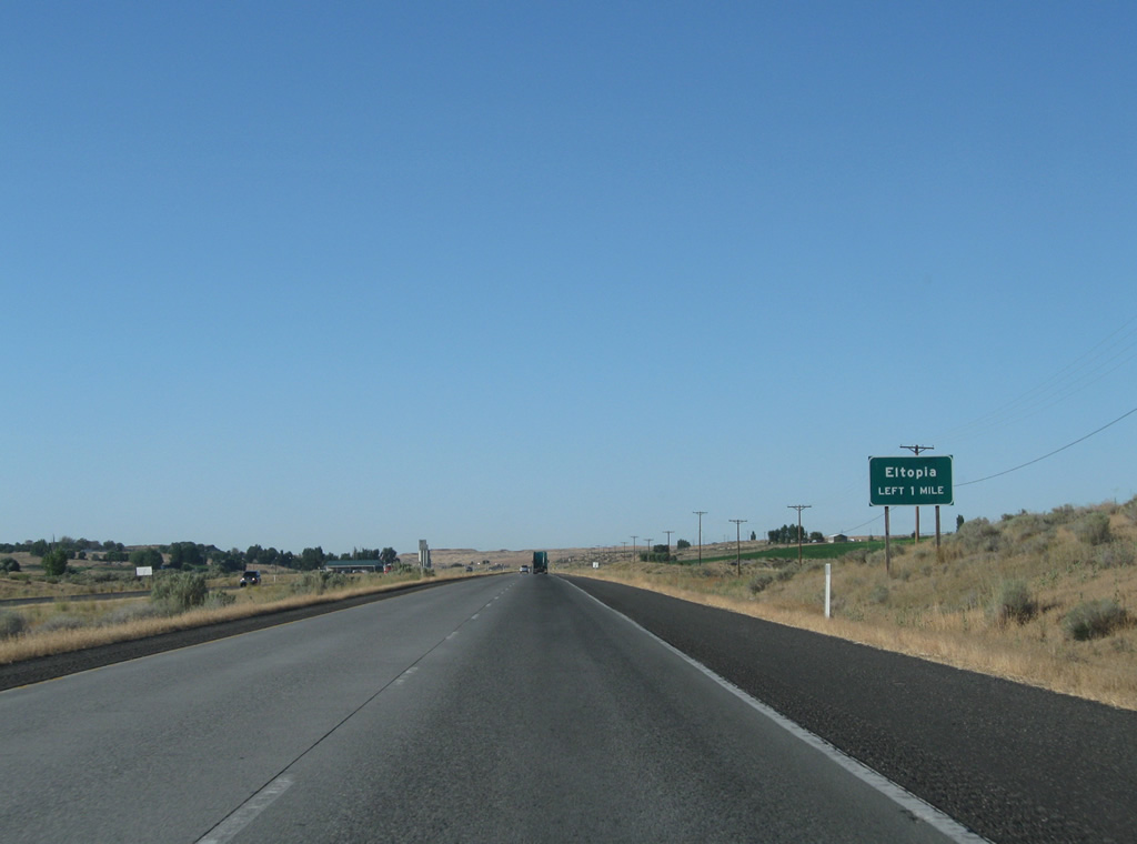
The next at-grade intersection joins U.S. 395 north with Eltopia West Road into the village of Eltopia. U.S. 395 bypasses the community east of the BNSF Railroad line.
08/03/11
Eltopia West Road arcs through Eltopia before turning west to Homestead Corners, Mathews Corner and an end near Parsons Canyon. Blanton Road ties into the intersection from the east as the old U.S. 395 alignment northward to Connell.
08/03/11
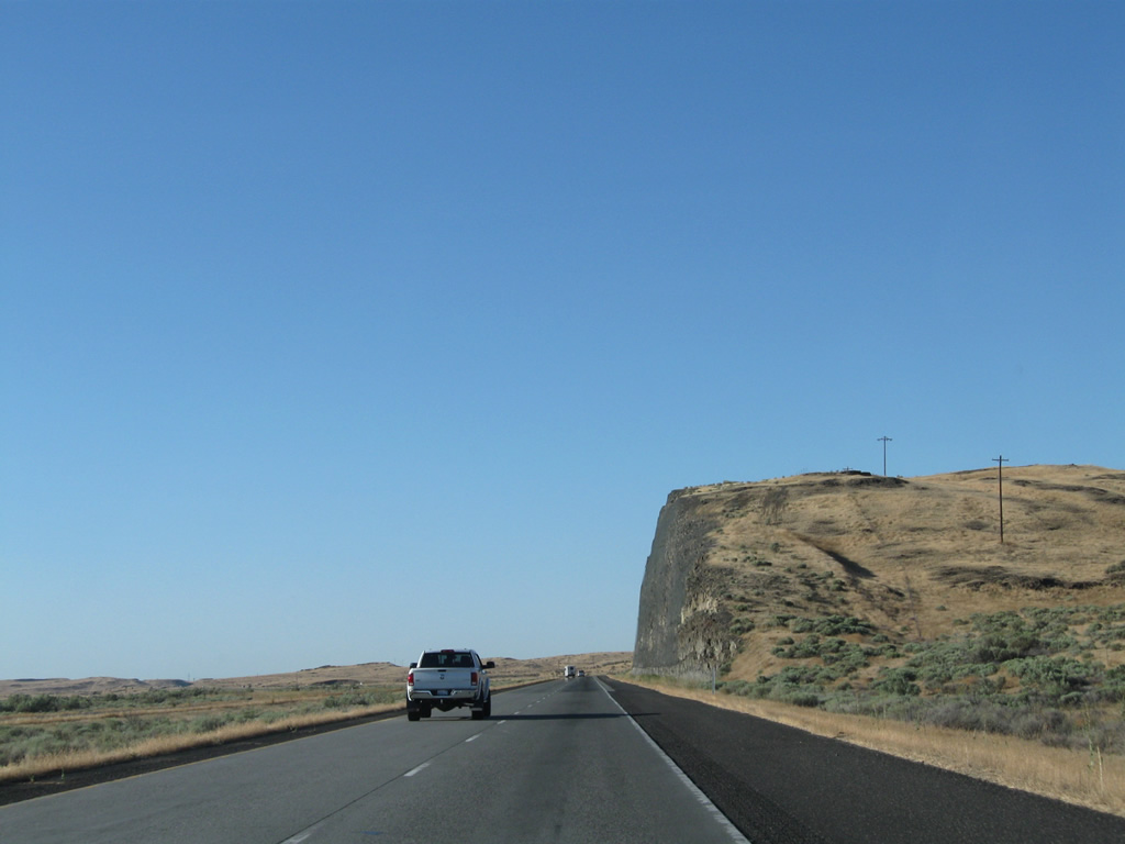
U.S. 395 enters Esquatzel Coulee north of Eltopia. A pronounced rock cut follows near milepost 41.
08/03/11
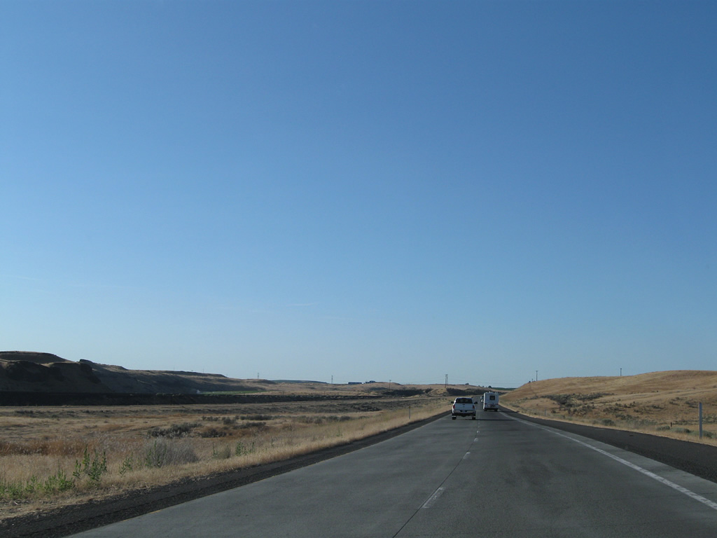
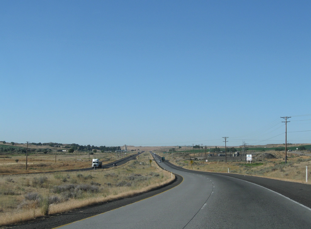
There is no side access to U.S. 395 between Eltopia and the city of Mesa as the freeway parallels a BNSF Railroad line through Esquatzel Coulee. Drivers will notice a roadway split midway along the drive.
08/03/11
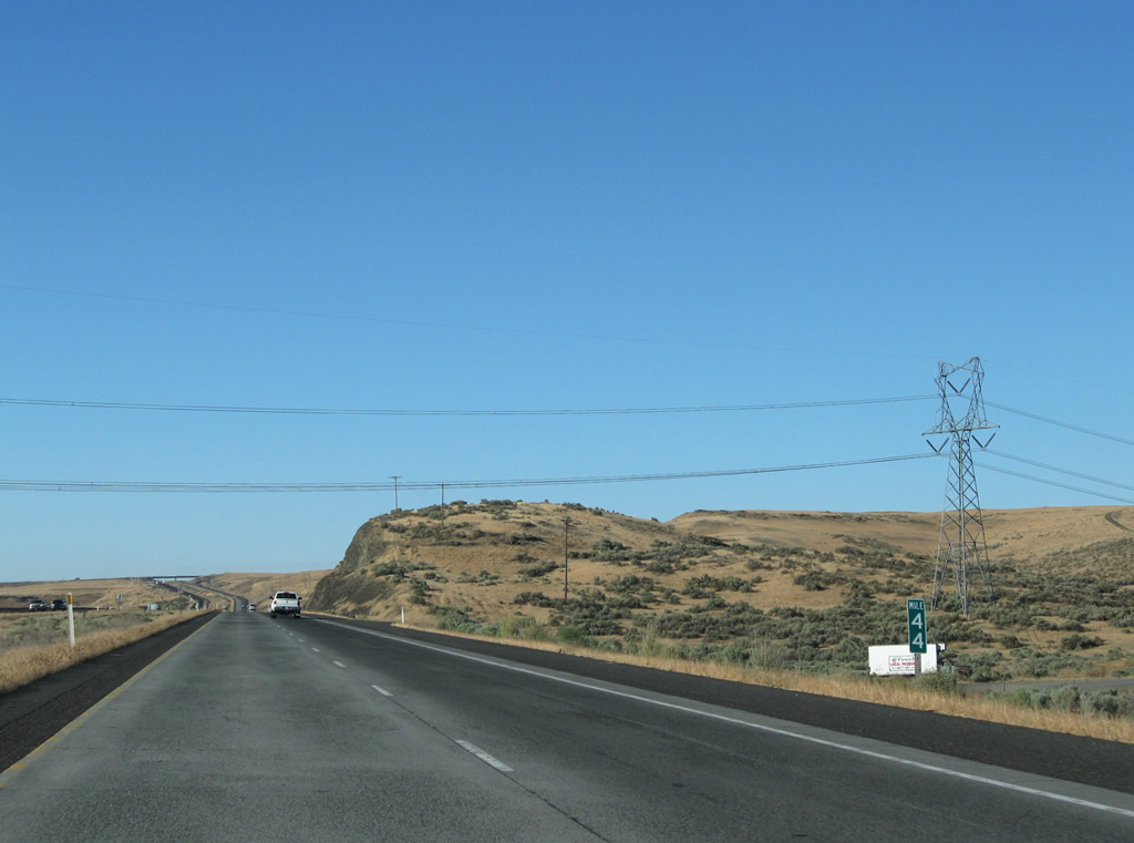
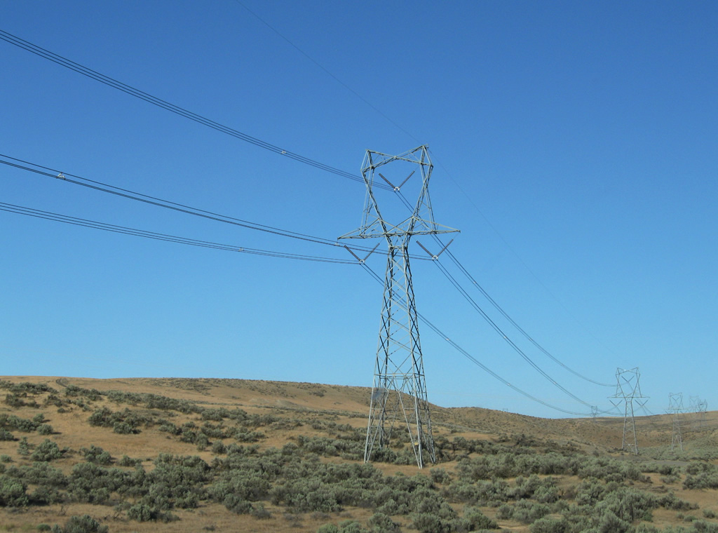
A transmission line corridor passes over U.S. 395 at milepost 44. The freeway passes over Russell Road near Edwards nearby.
08/03/11
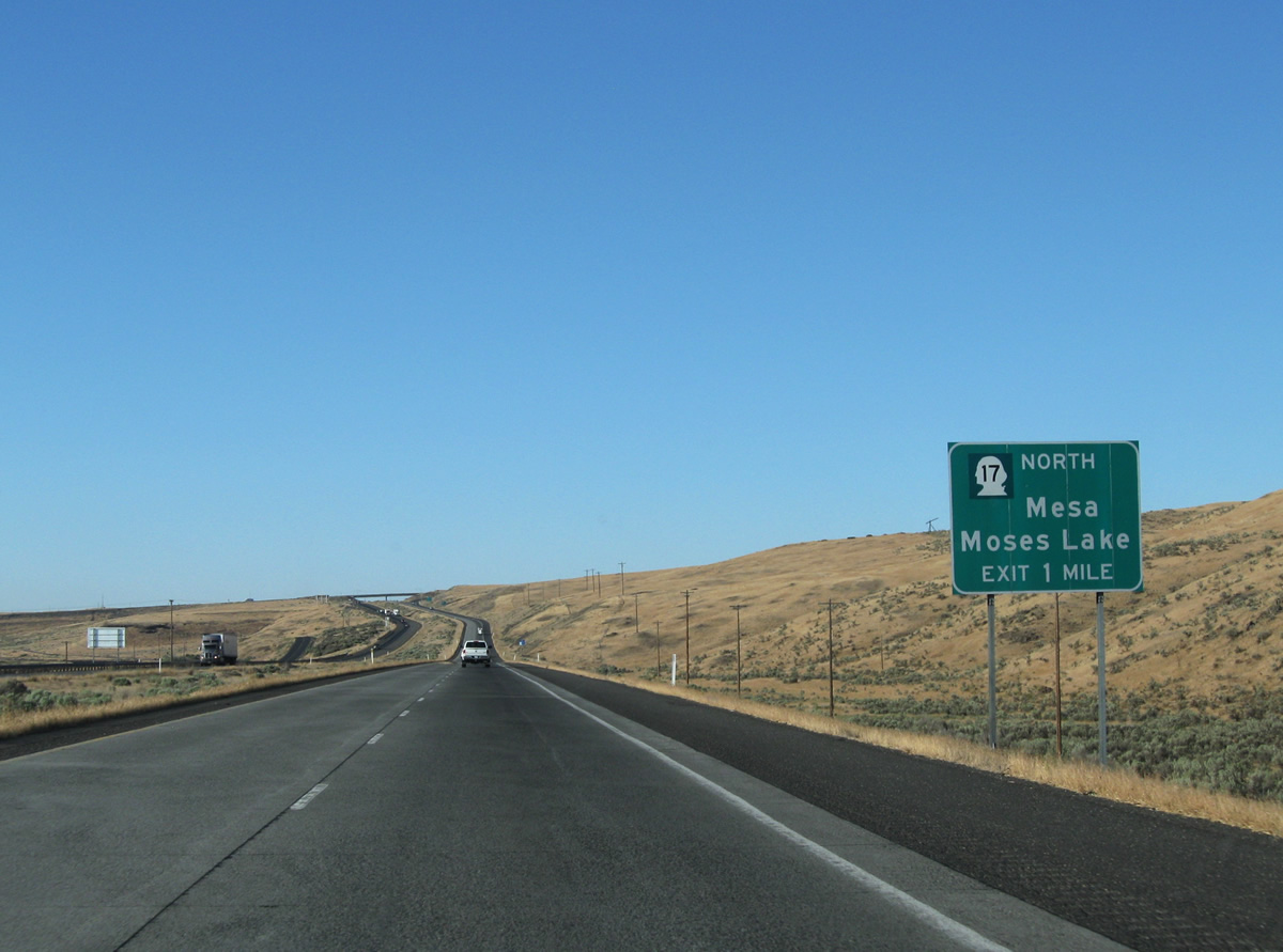
One mile south of a diamond interchange with SR 17 north and Pepiot Road east on U.S. 395 north at Mesa.
08/03/11
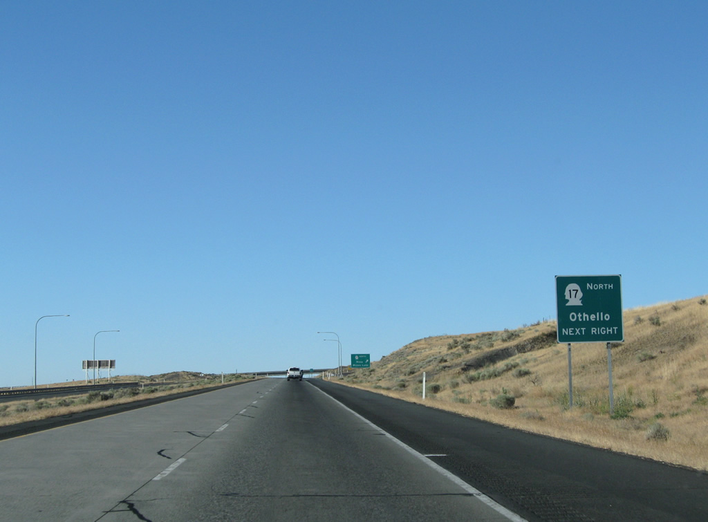
SR 17 begins and travels 20.88 miles north to SR 26 outside Othello.
08/03/11
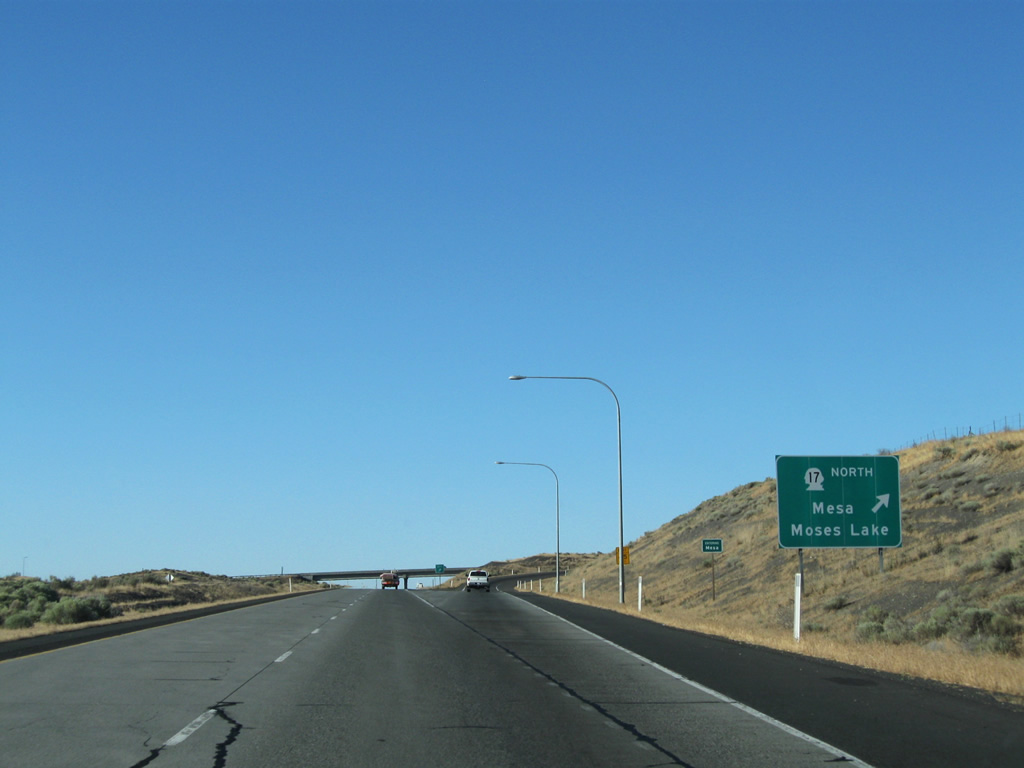
Northbound U.S. 395 at the SR 17 and Pepiot Road off-ramp. SR 17 travels 43 miles to Interstate 90 at Moses Lake and 136.67 miles overall to U.S. 97 near Brewster. Pepiot Road meanders east to old U.S. 395 (Blanton Road).
08/03/11
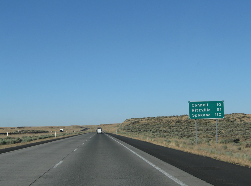
U.S. 395 continues ten miles northeast to Connell and 51 miles to the merge with Interstate 90 at Ritzville.
08/03/11
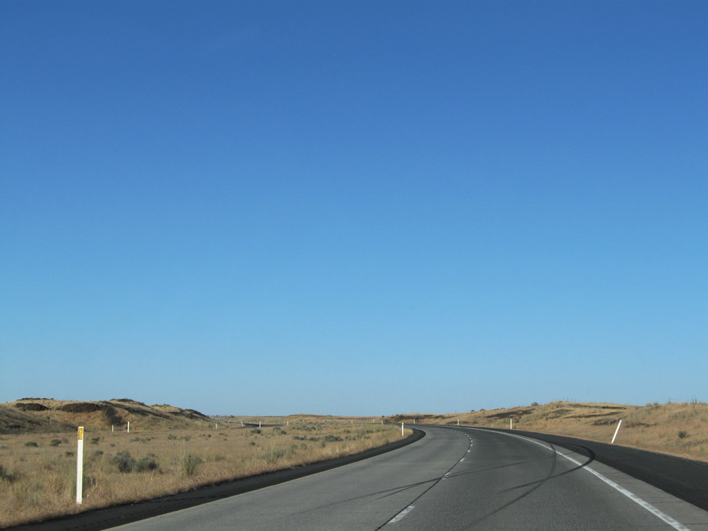
The roadways of U.S. 395 separate as the US Highway travels the plateau south of Esquatzel Coulee.
08/03/11
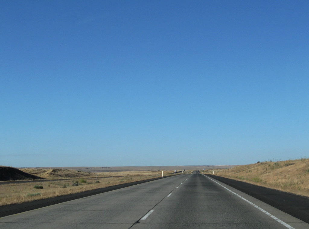
A long straight away along the U.S. 395 freeway south of Connell.
08/03/11
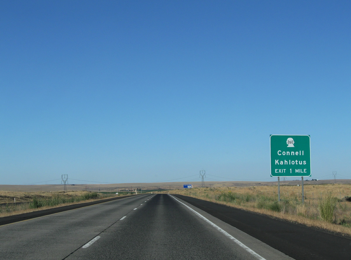
U.S. 395 turns more northerly ahead of a diamond interchange with SR 260 at the city of Connell.
08/03/11
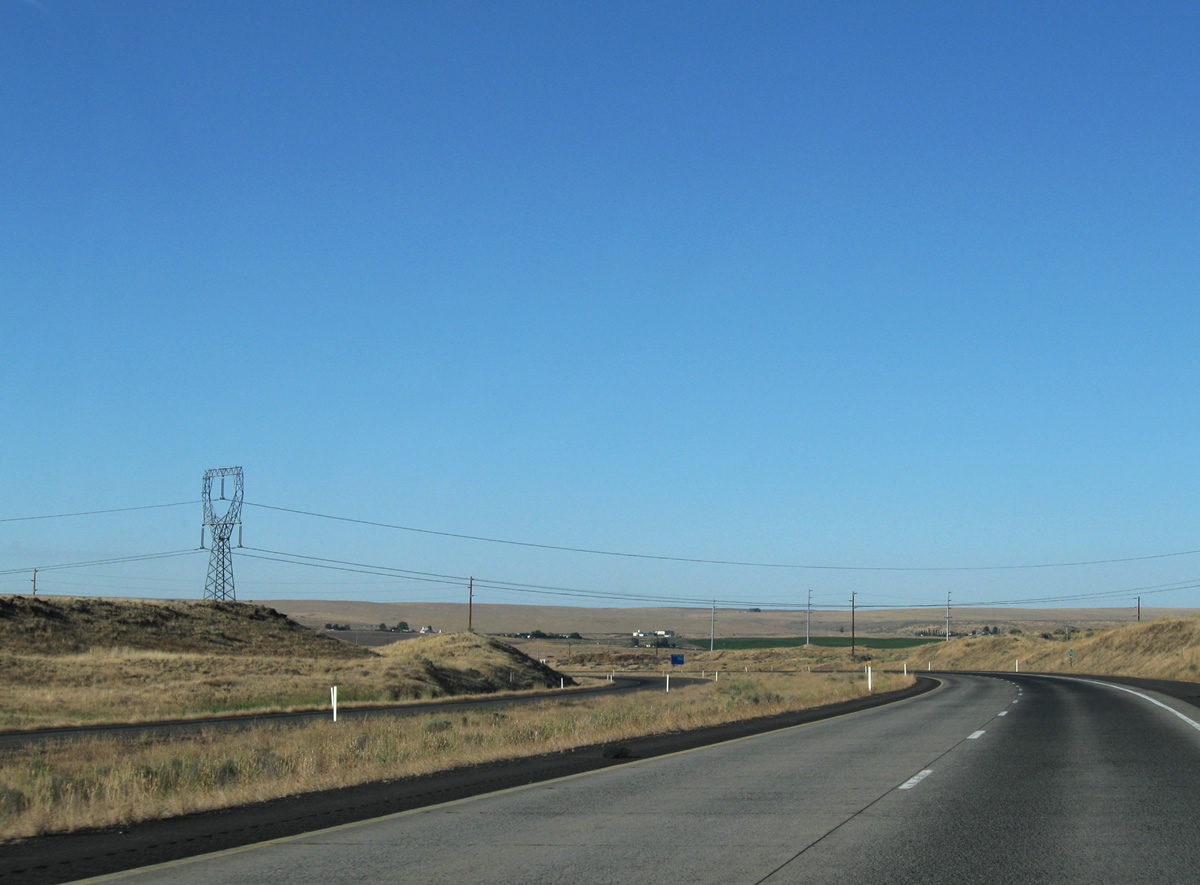
A set of transmission lines cross U.S. 395 at milepost 54. This corridor emanates at Lower Monumental Dam to the south of Kahlotus. Also notable at this location is that the original alignment of U.S. 395 (Blanton Road) once crossed paths here en route to Columbia Avenue. Blanton Road was relocated with construction of the U.S. 395 freeway to tie into SR 260 opposite Garfield Road.
08/03/11
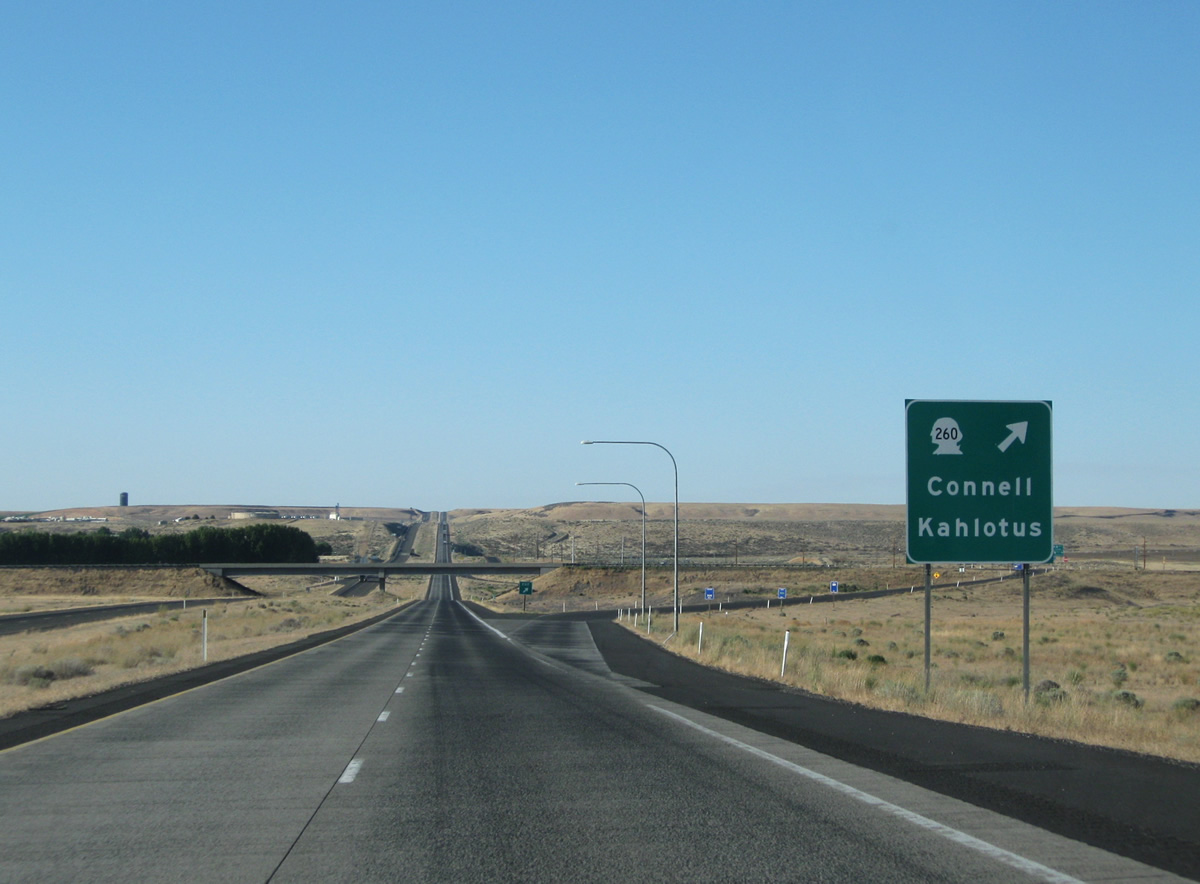
SR 260 journeys 7.55 miles west to end at SR 17 and east 15.66 miles to SR 21 at Kahlotus.
08/03/11
Although wholly within the city limits of Connell, the U.S. 395 expressway bypasses the street grid through.
08/03/11
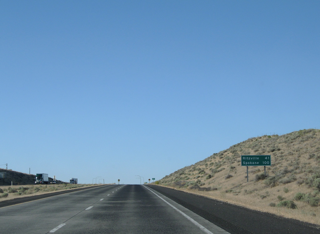
100 miles southwest of Spokane along U.S. 395 north at Connell.
08/03/11
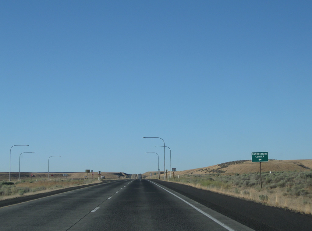
Former U.S. 395 follows Columbia Avenue north from the city center to become Lind Road near a corrections center. Lind Road continues northeast from the U.S. 395 expressway to Michigan Prairie, returning to U.S. 395 at Hatton Coulee.
08/03/11
Green box sign for U.S. 395 north, posted after Lind Road.
08/03/11
There are very few access points between Connell and Hatton as U.S. 395 again turns northeasterly through agricultural and grass lands.
08/03/11
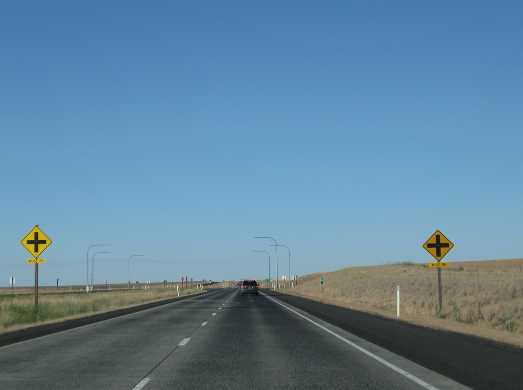
Muse Road provides farm access from U.S. 395 at the next at-grade intersection.
08/03/11
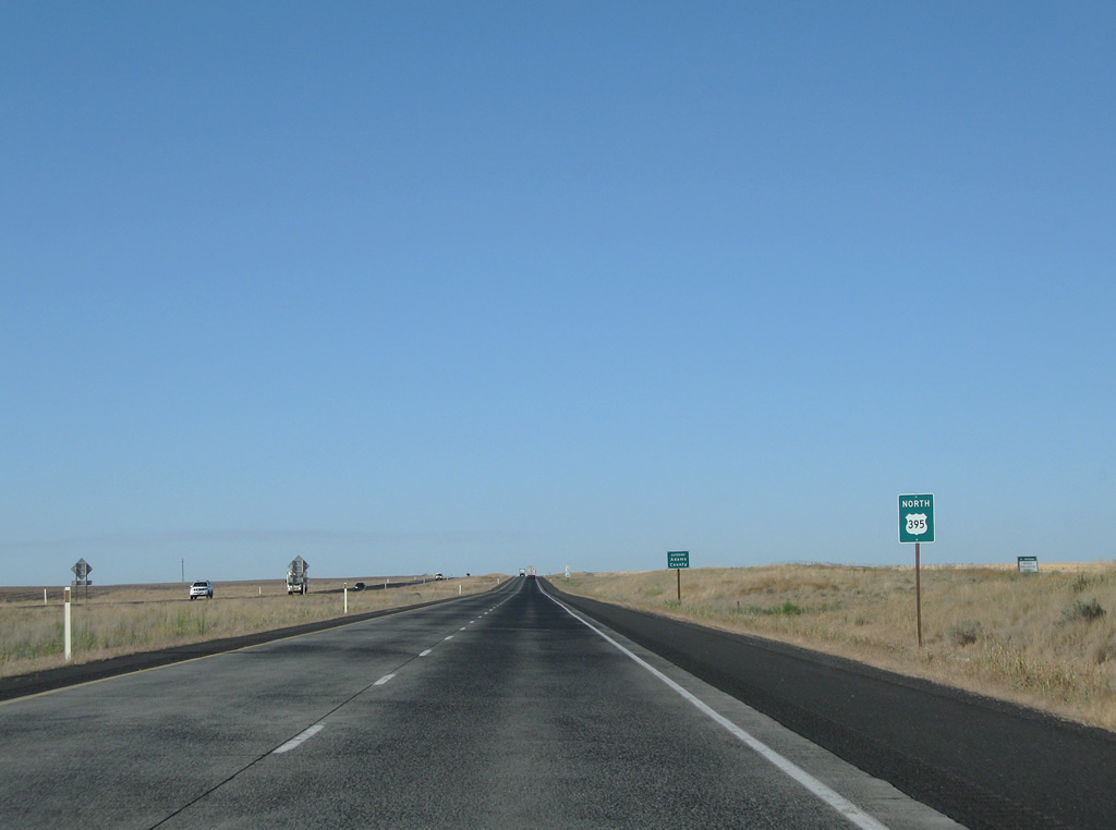
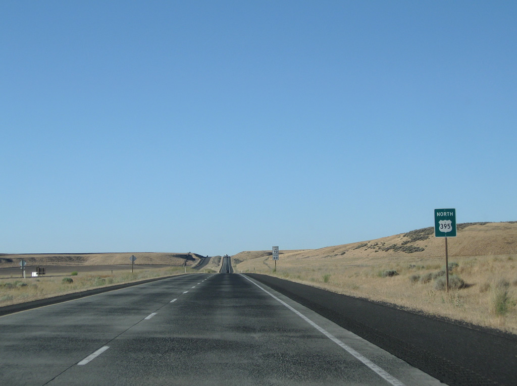
Continuing north from Muse Road along U.S. 395 near the Adams County line.
08/03/11
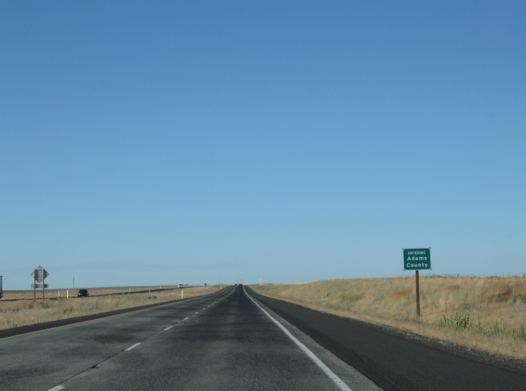
42.11 miles of U.S. 395 in Franklin County conclude. U.S. 395 merges with Interstate 90 in 34.89 miles.
08/03/11

Photo Credits:
- Andy Field: 08/03/11
Page Updated Thursday October 13, 2011.