
U.S. 395 South - Tri-Cities

 West
West  South
South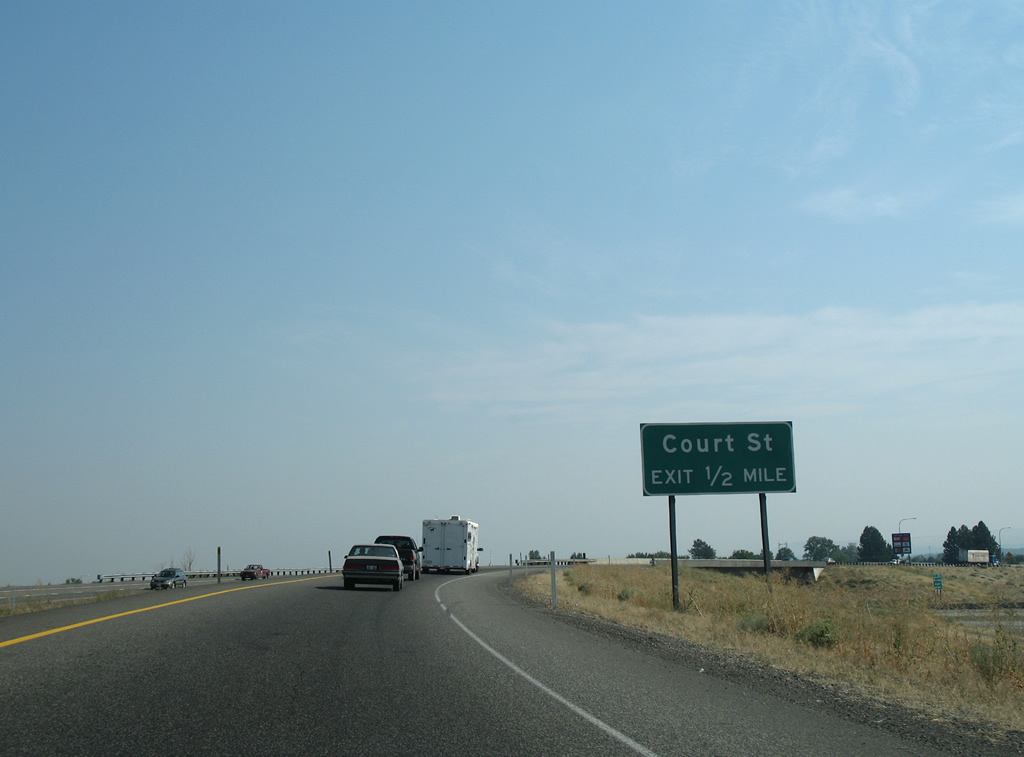
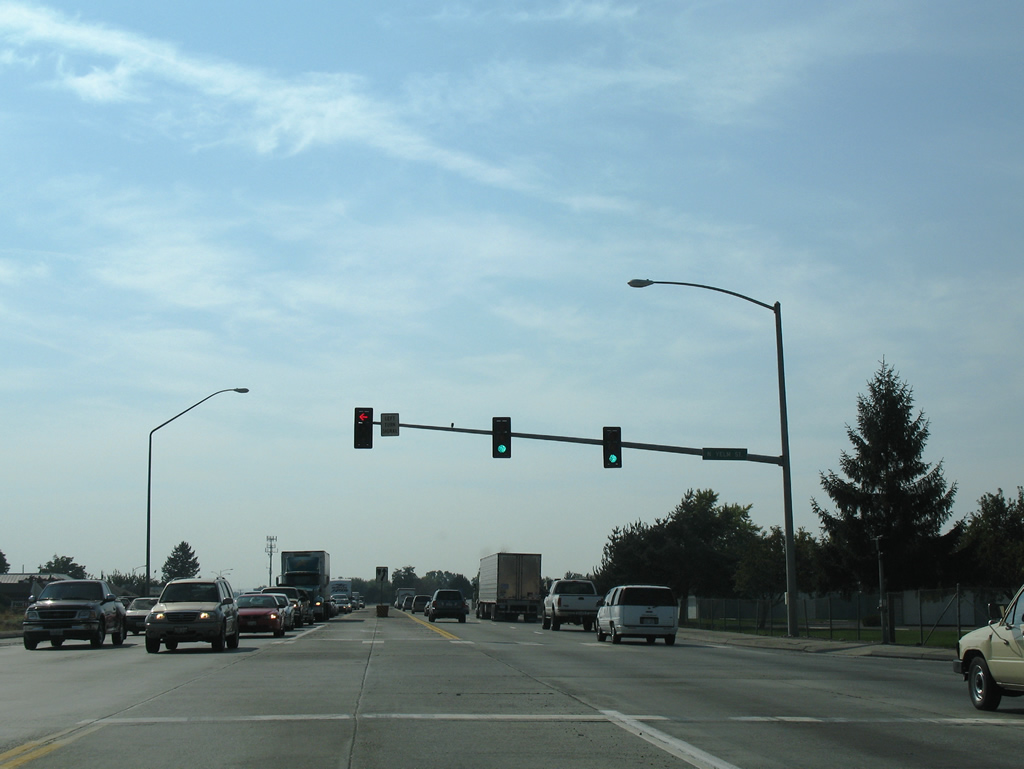
U.S. 395 southbound quickly encounters a parclo interchange with Court Street after leaving I-182/U.S. 12. This is the only exit of southbound ahead of the Blue Bridge.
08/28/06
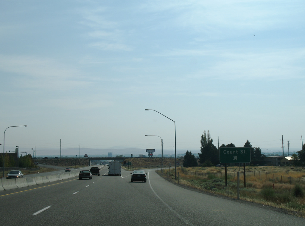
Horse Heaven Hills rise along the southern horizon as the Court Street off-ramp leaves U.S. 395 south. Court Street comprises a commercial boulevard east to North 4th Avenue and west to Road 40. The road continues through West Pasco to a rural area along the Columbia River.
08/28/06
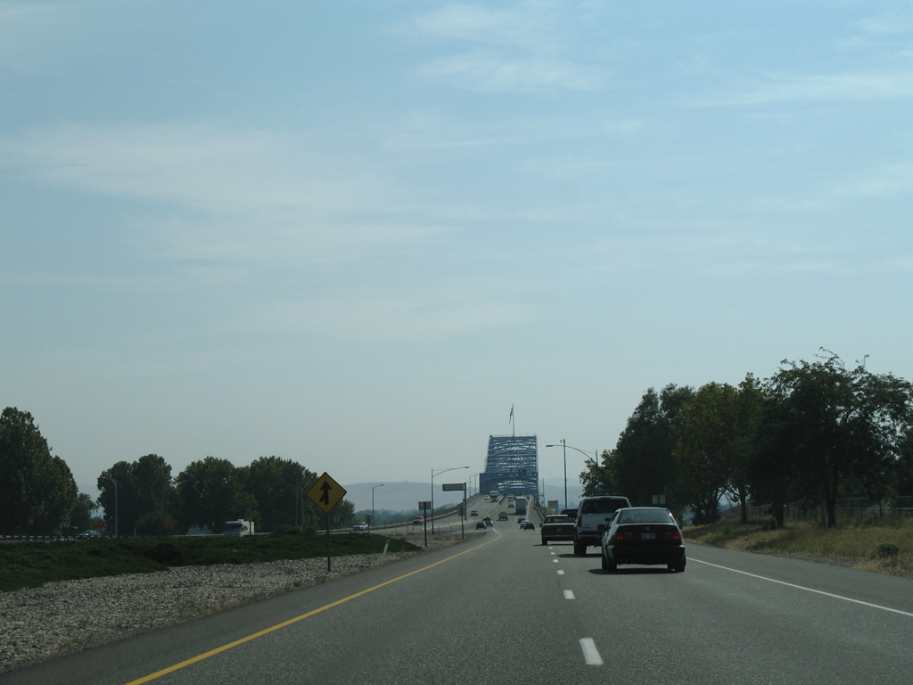
U.S. 395 passes under Sylvester Street and enters a wye interchange with Lewis Street ahead of the Blue Bridge across the Columbia River.
08/28/06
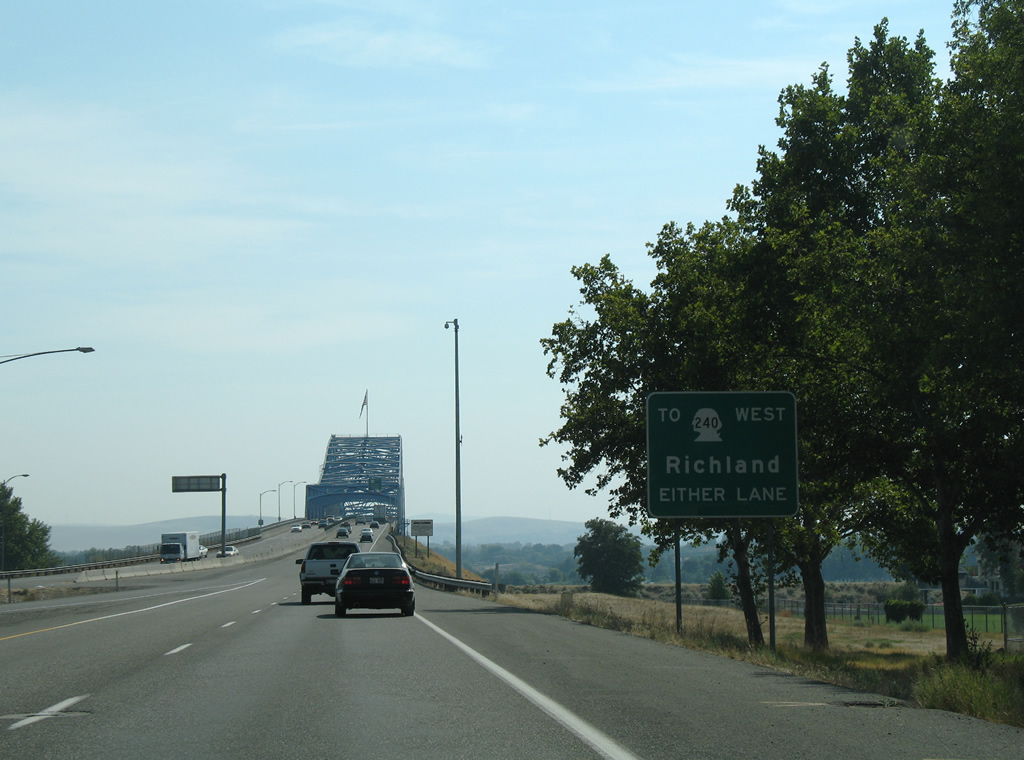
SR 240 begins a 41.31 mile trek at the interchange south of the Blue Bridge. The state route follows a freeway linking Kennewick and Richland.
08/28/06

The lack of shoulders necessitates vehicles involved in minor collisions to proceed to the north end of the Blue Bridge.
08/28/06

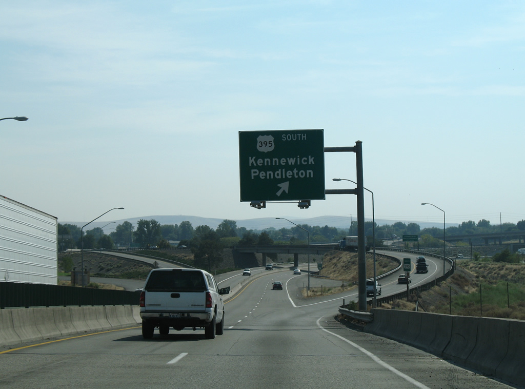
A left side off-ramp originally carried U.S. 410, and later U.S. 12, travelers from the Blue Bridge onto the freeway leading west to Richland. U.S. 12 shifted to Interstate 182 by 1986 as SR 240 was extended eastward to Kennewick. The completion of I-182 shifted the importance of the westbound ramp from the Blue Bridge to SR 240, and construction addressed a bottleneck at the forthcoming wye interchange in October 2009 when a new two lane overpass for U.S. 395 and redesigning the adjacent three-quarter cloverleaf interchange with Columbia Drive were completed.
08/28/06
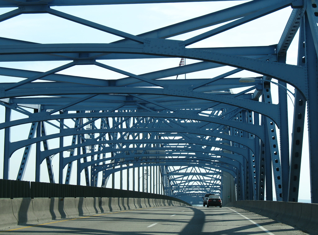
The Blue Bridge was dedicated on July 30, 1954 and constructed at a cost of $6.5 million. It was the second vehicle crossing at the time, joining the Green Bridge from downtown Kennewick to downtown Pasco.
08/28/06
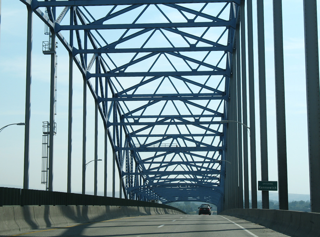
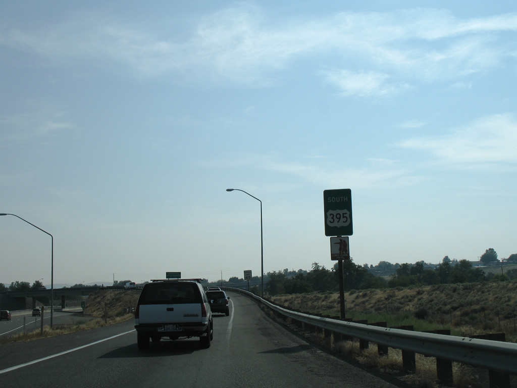
Southbound travelers enter the city of Kennewick at the Benton County line while crossing the Columbia River.
08/28/06
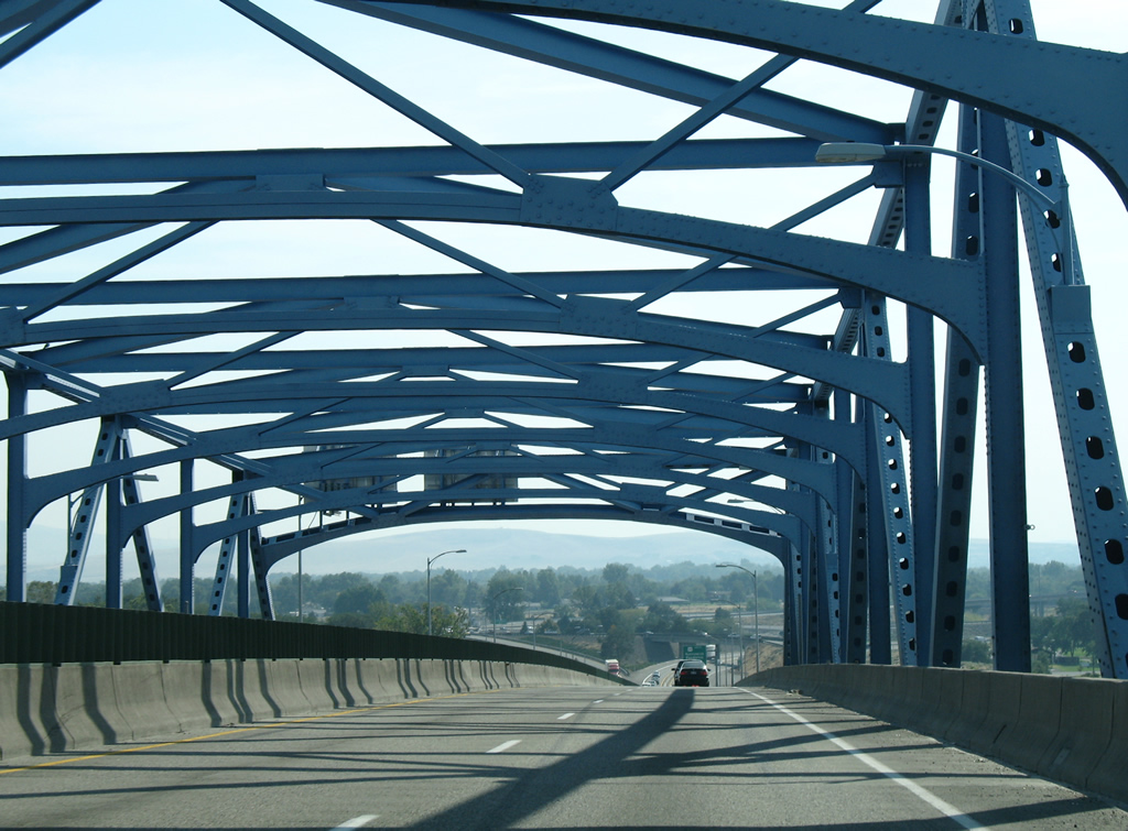
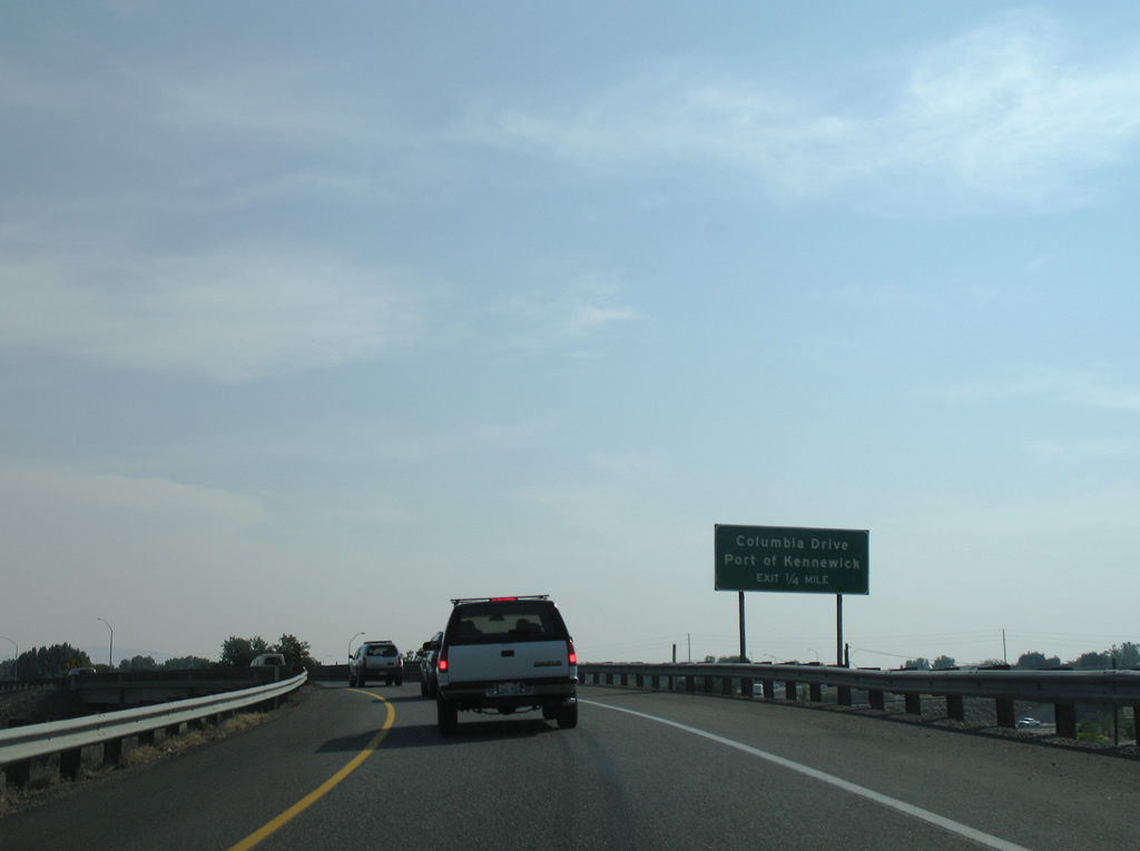
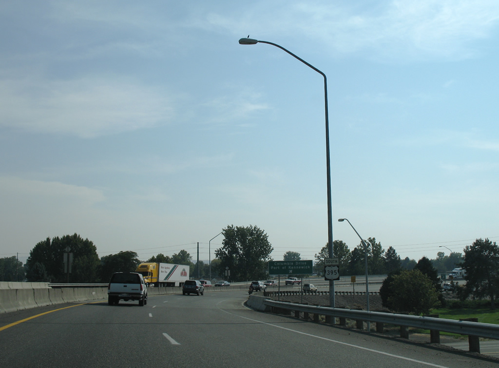
U.S. 395 descends into Kennewick alongside Columbia Park. The city center lies east along Columbia Drive.
08/28/06
A historical look at the original split of SR 240 west from U.S. 395 south at the Blue Bridge end. The ramp to SR 240 west now departs on the right side.
08/28/06
A single lane overpass carried U.S. 395 motorists into the original cloverleaf interchange with Columbia Drive.
08/28/06
What was a loop ramp onto Columbia Drive east from its split with SR 240 was removed. A diamond interchange with roundabouts as Columbia Drive now facilitates the movements between U.S. 395 and the east-west boulevard.
08/28/06
A reassurance shield for U.S. 395 was posted between the Columbia Drive westbound on-ramp and eastbound off-ramp.
08/28/06
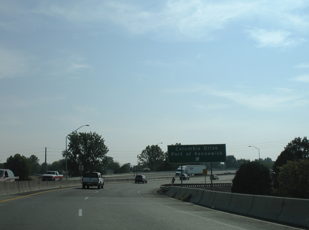
Columbia Drive represents the former alignment of U.S. 410 east to where the Green Bridge connected with Pasco.
08/28/06
The U.S. 395 freeway turns west and travels a viaduct over sets of Union Pacific and Washington Central Railroad lines on the rise into a residential area west of West Canal Drive.
08/28/06
A traffic light represents the end of the U.S. 395 freeway at Yelm Street. The highway transitions into a commercial arterial along Ely Street ahead.
08/28/06
Photo Credits:
- AARoads: 08/28/06
Connect with:
Page Updated Thursday October 13, 2011.