
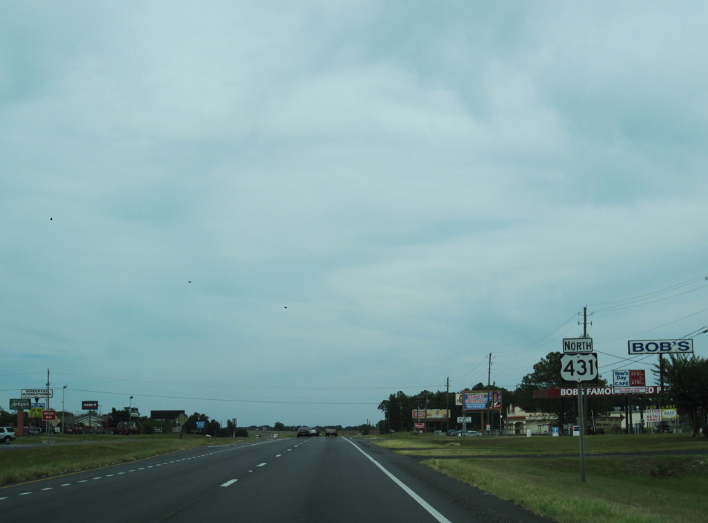
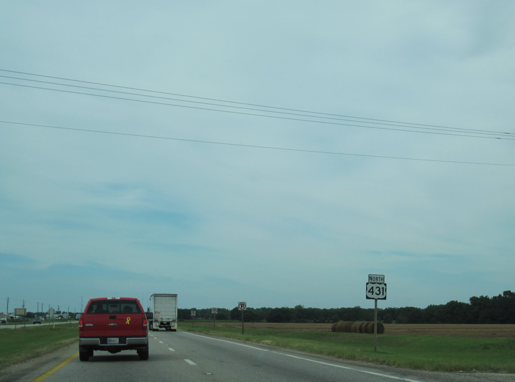
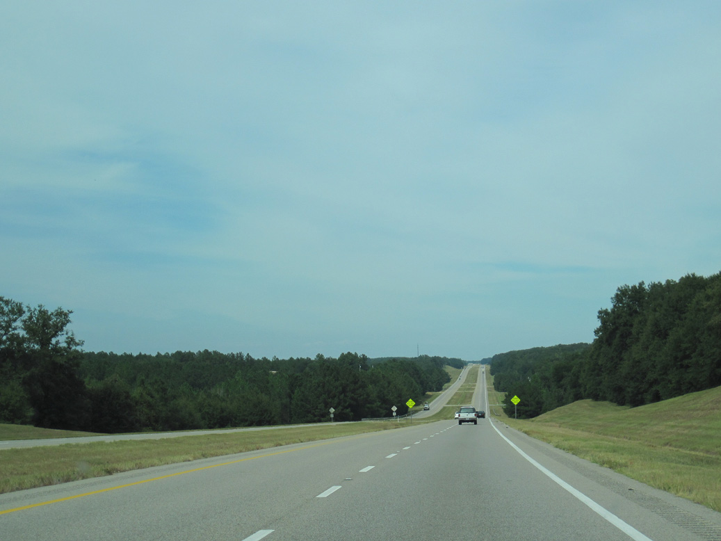
U.S. 431 North - Dothan


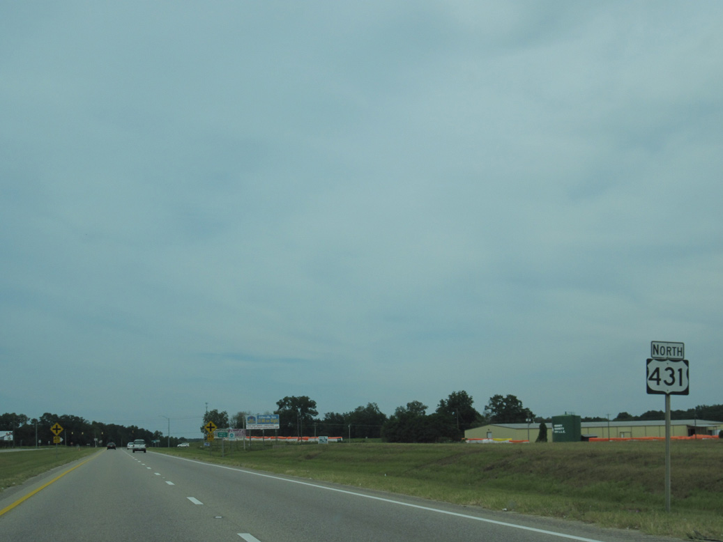
 North
North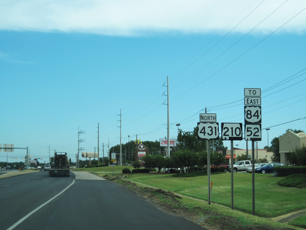
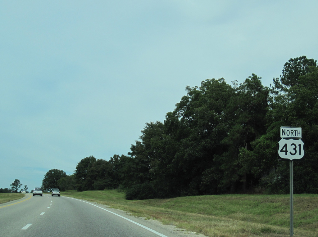
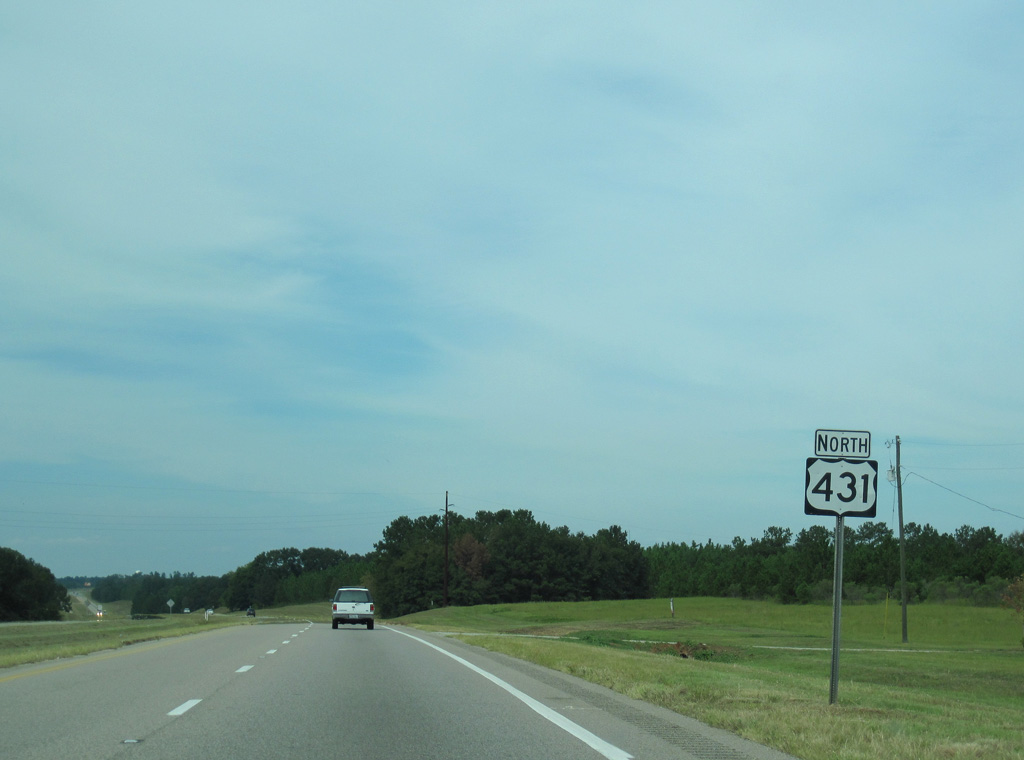
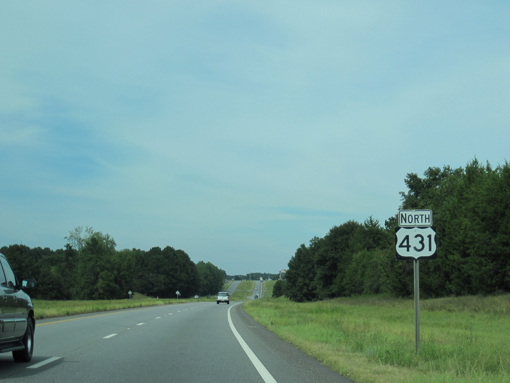
The first confirming marker for U.S. 431 northbound. U.S. 431 encircles the east side of Dothan along a 6.70 mile long overlap with SR 210 (Ross Clark Circle).
09/28/10
09/28/10
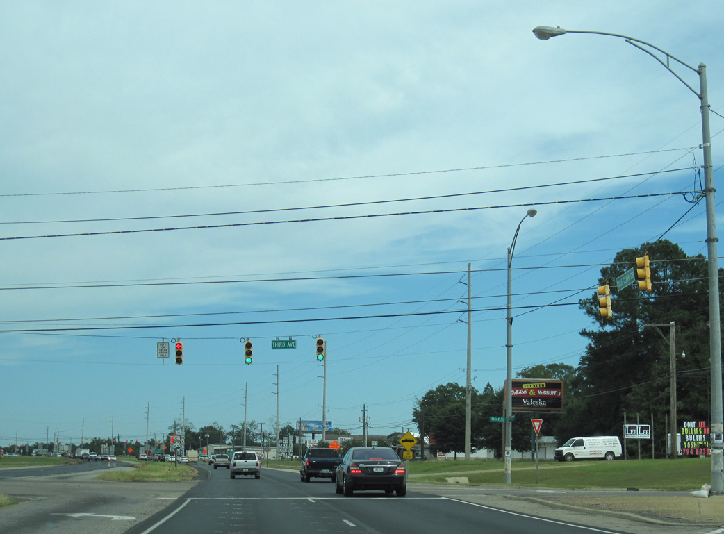
Ross Clark Circle crosses over the Bay Line Railroad (BAYL) and Cypress Creek ahead of 3rd Avenue.
09/28/10
09/28/10
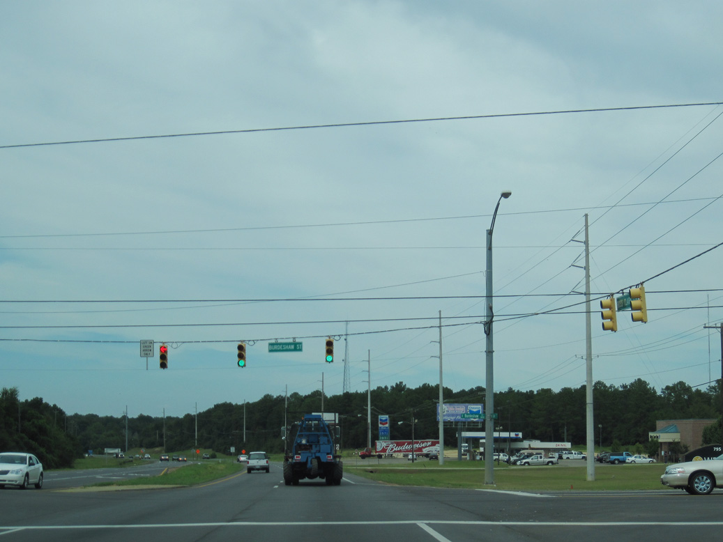
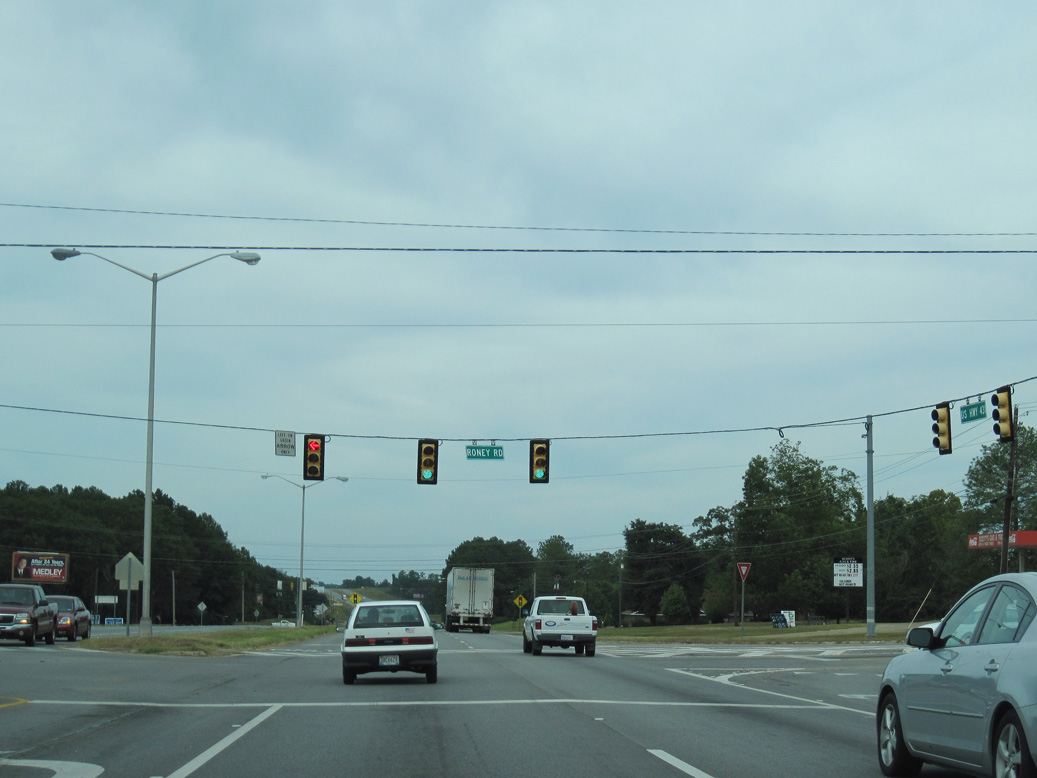
Shifting northward, Ross Clark Circle converges with SR 53 (Cottonwood Road) at the ensuing signal beyond 3rd Avenue.
09/28/10
09/28/10
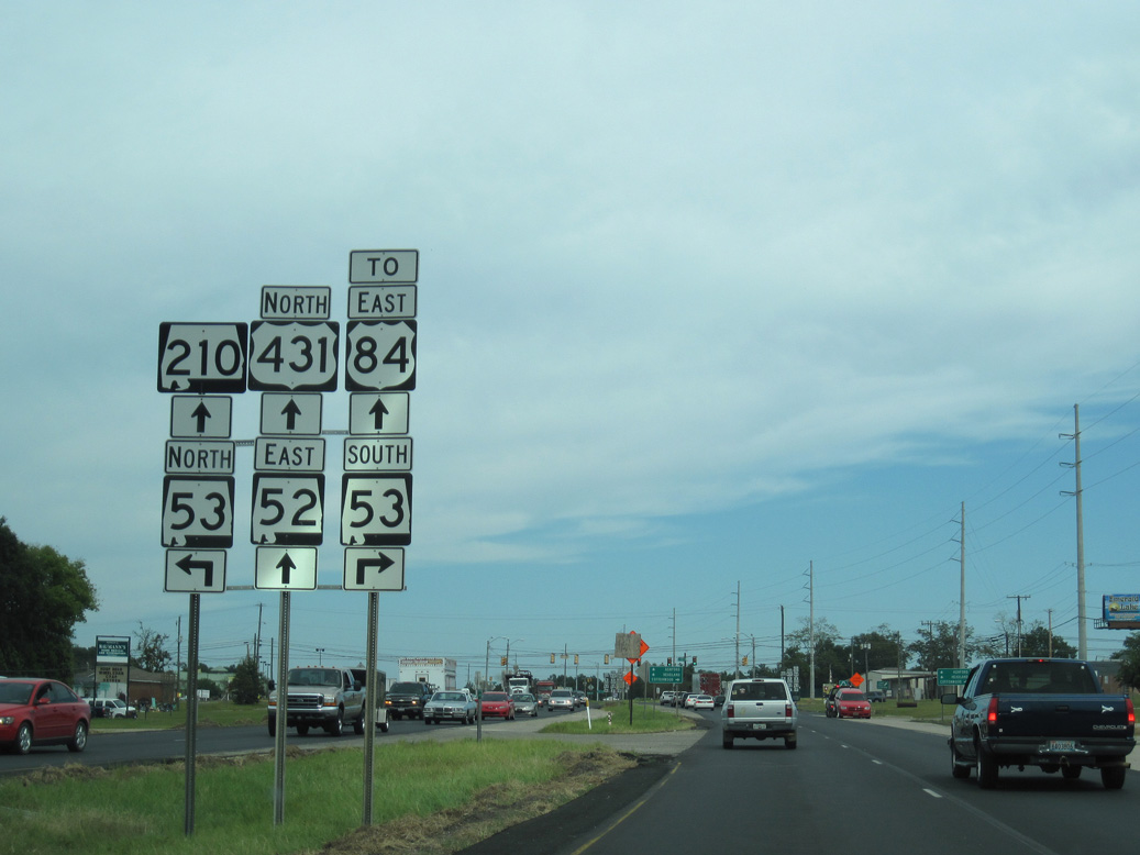
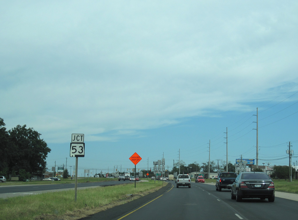
SR 53 (Cottonwood Road) angles northwest 1.50 miles to U.S. 231/431 Business (Oates Street) south of Downtown Dothan.
09/28/10
09/28/10
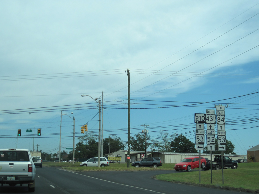
Heading southeast from U.S. 431/SR 210 (Ross Clark Circle), SR 53 travels 18.64 miles to Cottonwood and Florida State Route 71 north of Malone.
09/28/10
09/28/10
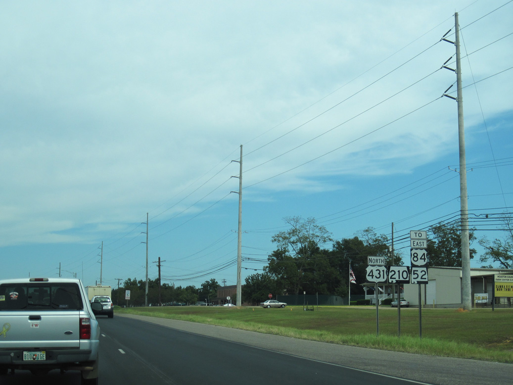
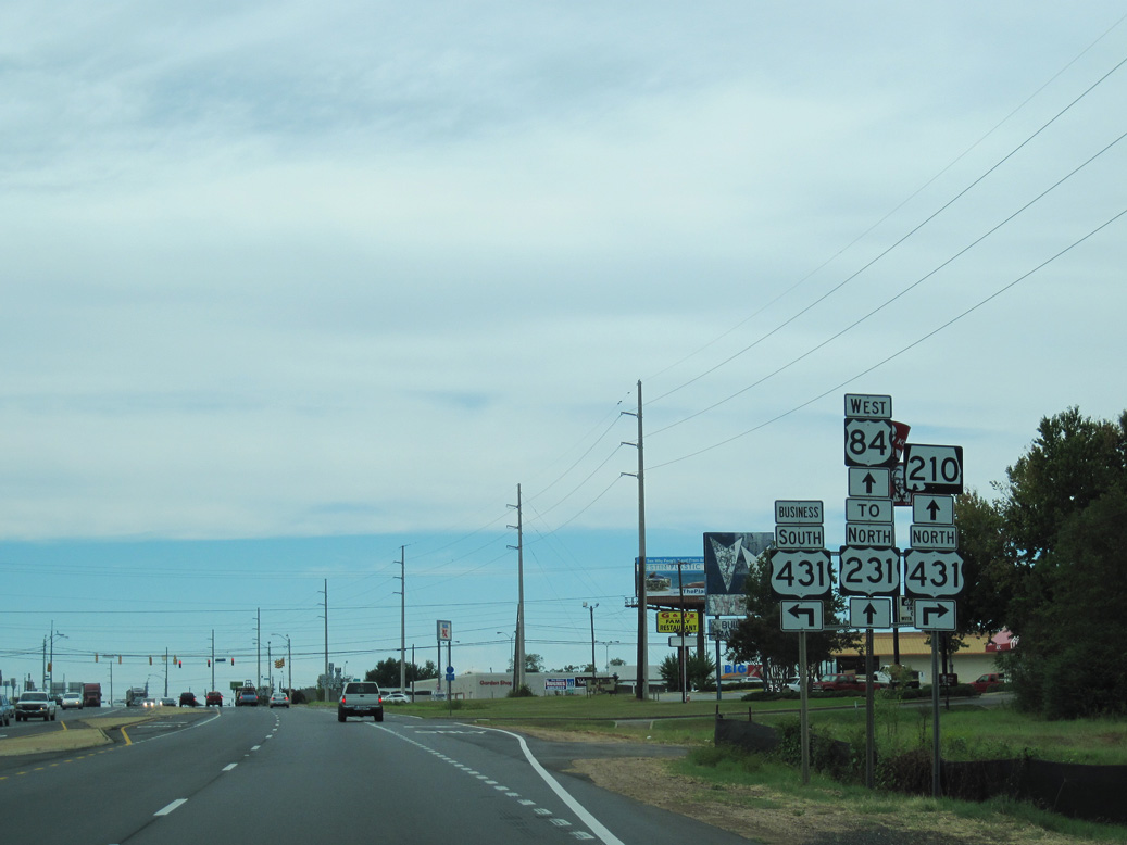
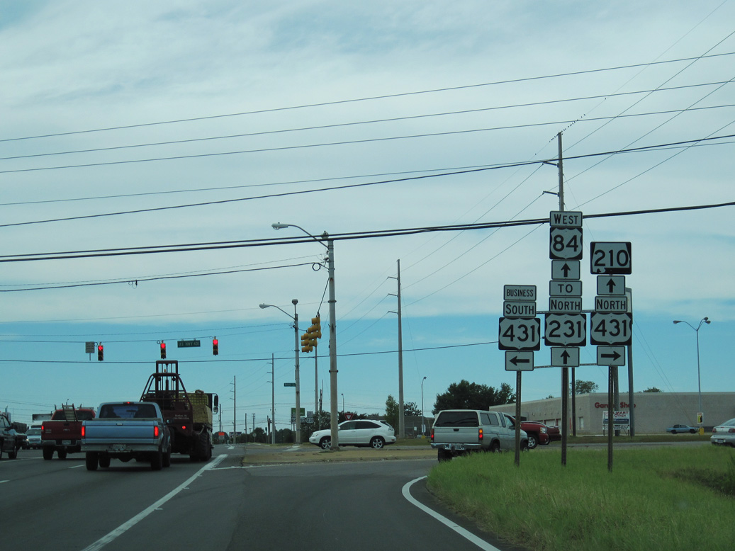
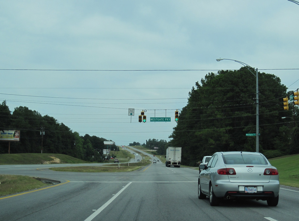
U.S. 431/SR 210 advance north 1.73 miles from SR 53 (Cottonwood Road) to U.S. 84 (E Main Street).
09/28/10
09/28/10
Fairview Avenue leads northwest from U.S. 431/SR 210 to Southeast Health Medical Center.
09/28/10
09/28/10
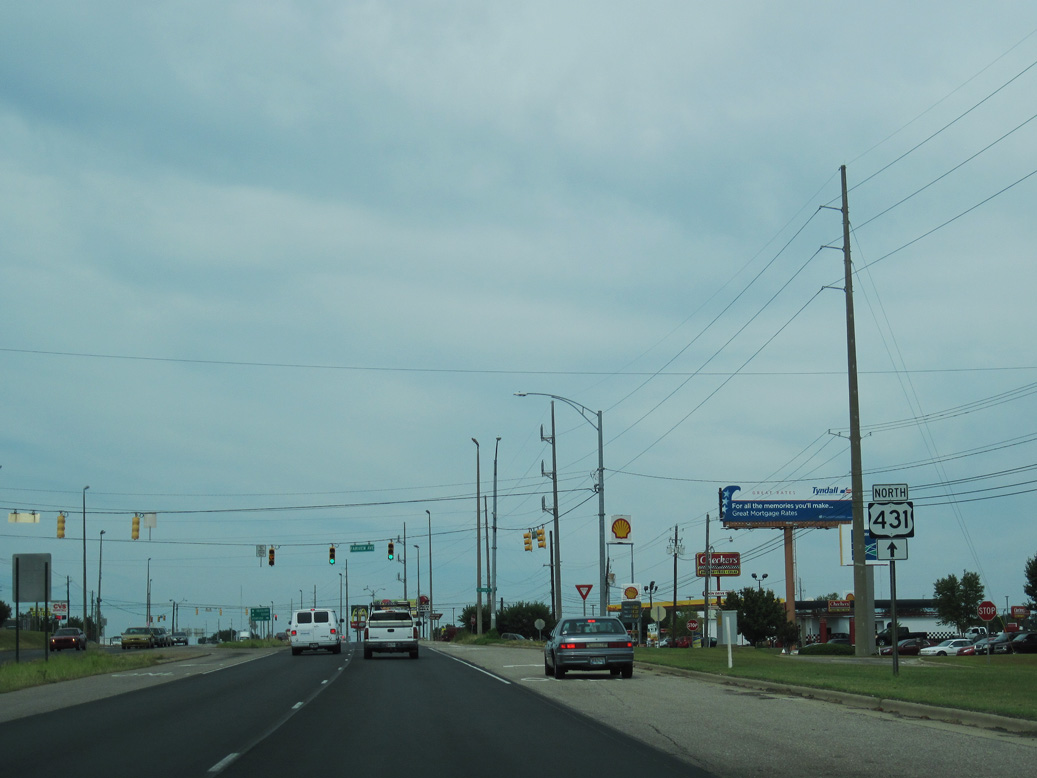
U.S. 84 west and U.S 84 Business east meet U.S. 431/SR 210 (Ross Clark Circle) north of Fairview Avenue along E Main Street.
09/28/10
09/28/10
 West North
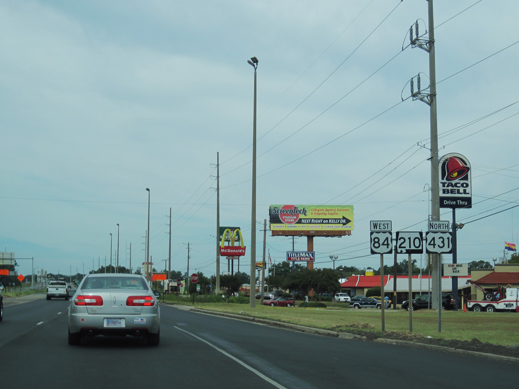
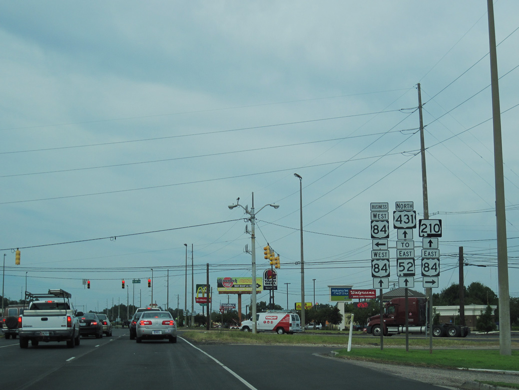
U.S. 84/431 overlap 3.38 miles along the northeastern arc of SR 210 (Ross Clark Circle).
09/28/10
09/28/10
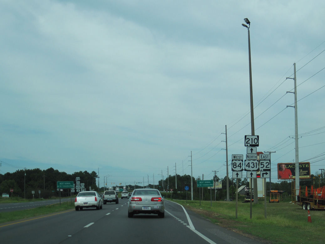
U.S. 84/431-SR 210 head 0.59 miles north from U.S. 84 Business (E Main Street) to a grade separated intersection with SR 52 (Columbia Highway).
09/28/10
09/28/10
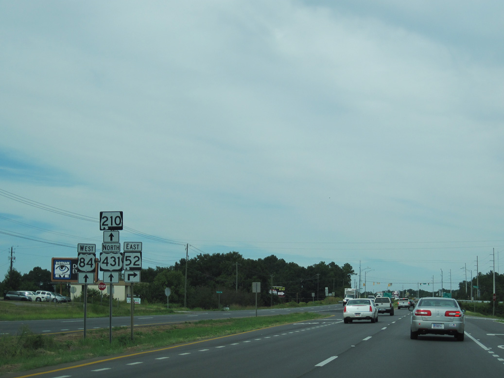
SR 52 (Columbia Highway) extends 17.07 miles east from Ross Clark Circle to the town of Webb and Georgia State Route 62 from the town of Columbia.
09/28/10
09/28/10
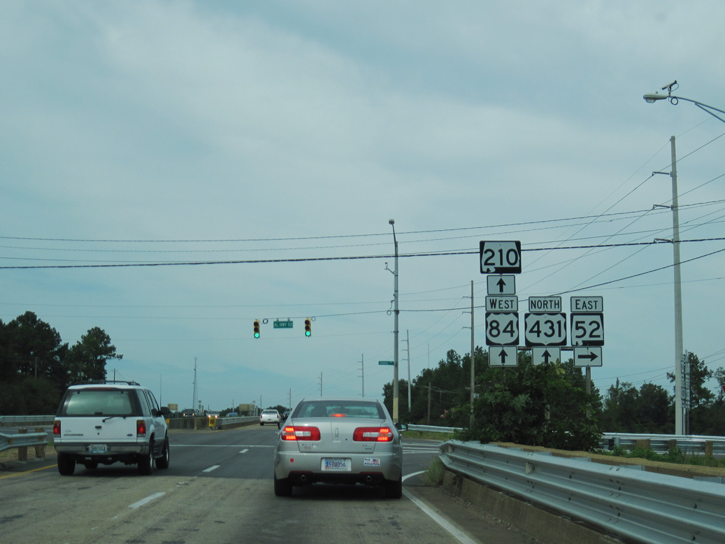
SR 52 (Columbia Highway) continues west from Ross Clark Circle onto an overlap with U.S. 84 Business (Main Street) into Downtown Dothan.
09/28/10
09/28/10
09/28/10
09/28/10
09/28/10
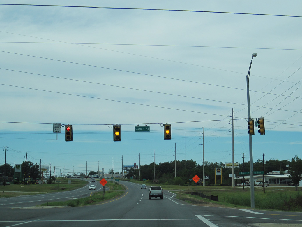
U.S. 431 north separates from U.S. 84/SR 210 (Ross Clark Circle) west at U.S. 431 Business and Reeves Street.
09/28/10
09/28/10
U.S. 431 Business (Reeves Street) leads 4.58 miles south through central Dothan to U.S. 231/SR 210 at the south end of U.S. 431. U.S. 84 eventually branches west from Ross Clark Circle to Daleville and Enterprise.
09/28/10
09/28/10
North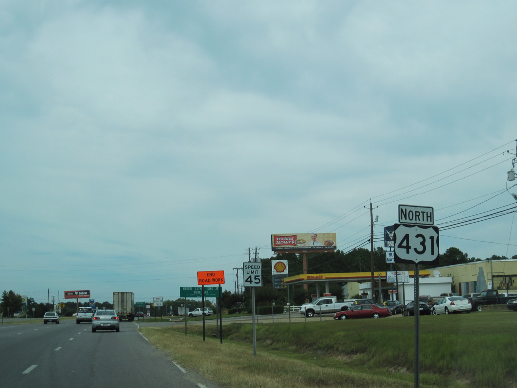
Leading away from Ross Clark Circle in north Dothan, U.S. 431 is Martin Luther King, Jr. Boulevard.
09/28/10
09/28/10
05/27/10
09/28/10
09/28/10
09/28/10
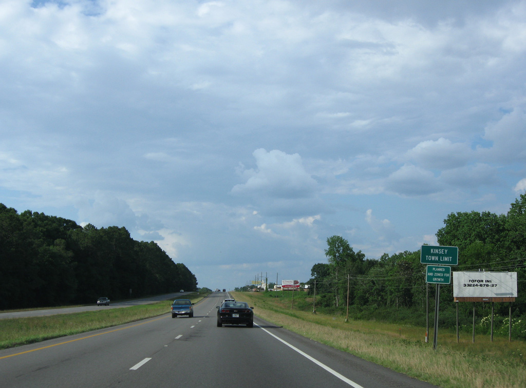
U.S. 431 enters the town of Kinsey north over Cedar Creek.
05/27/10
05/27/10
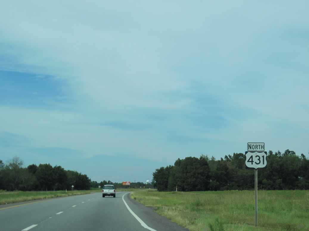
Reassurance shield posted north of Headland Avenue (former SR 211) south and Old Highway 431 north.
09/28/10
09/28/10
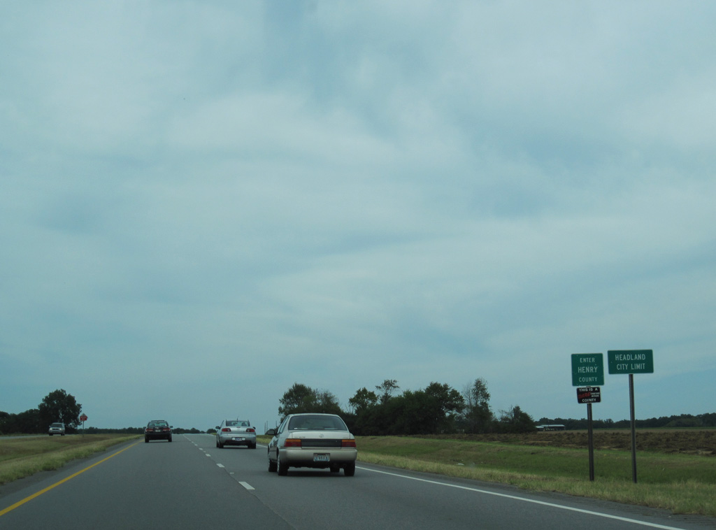
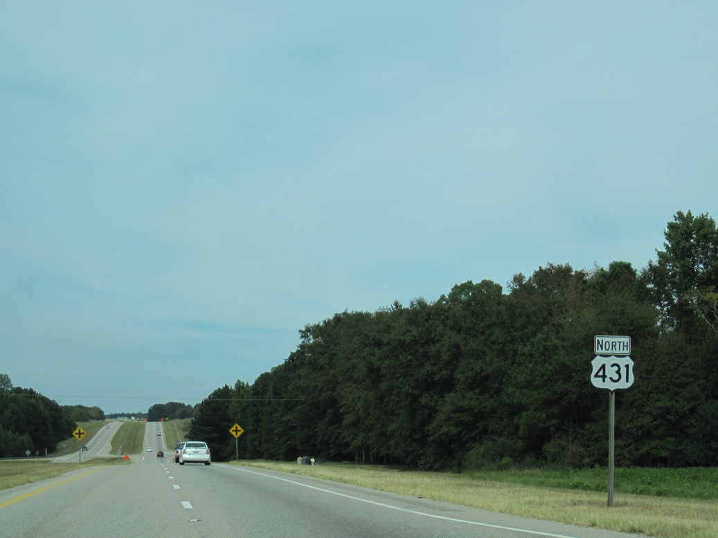
U.S. 431 crosses the Henry County line north from the town of Kinsey into the city of Headland.
09/28/10
09/28/10
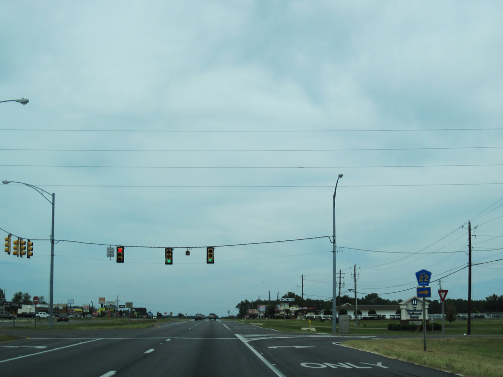
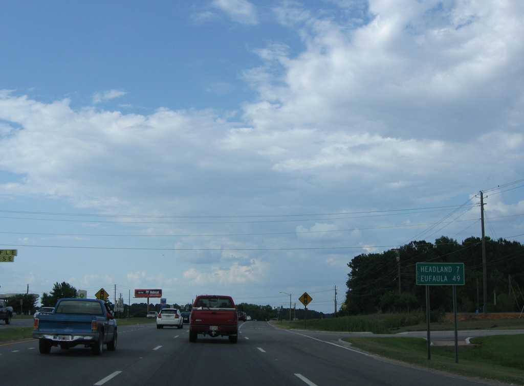
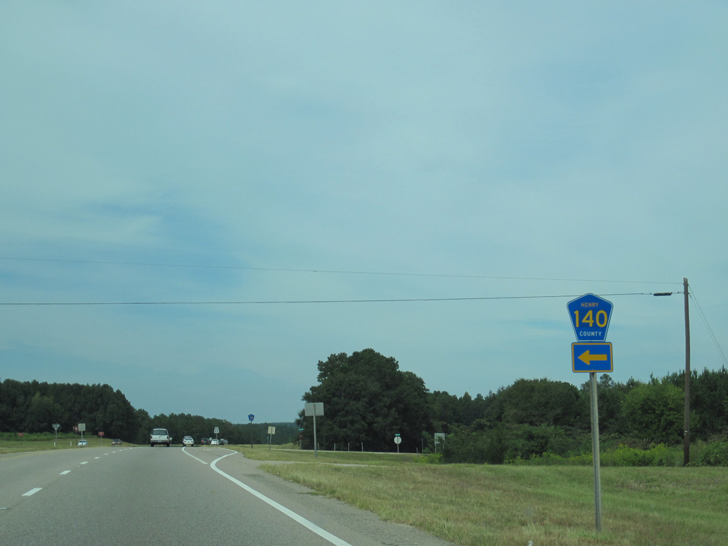
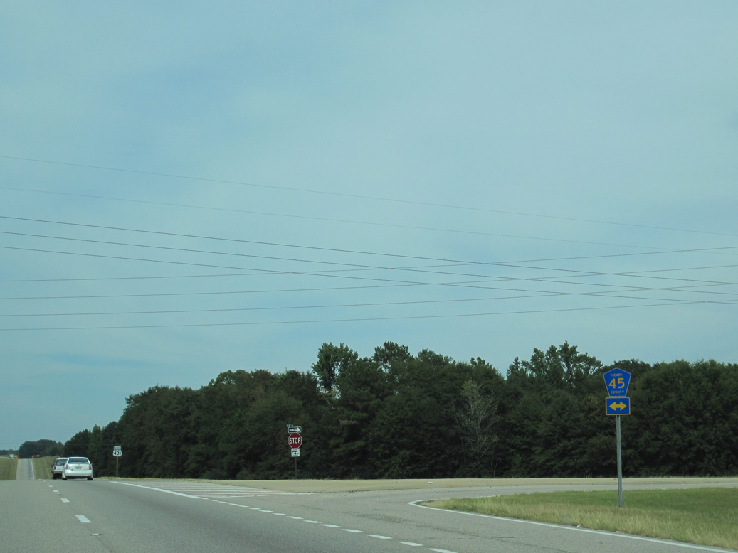
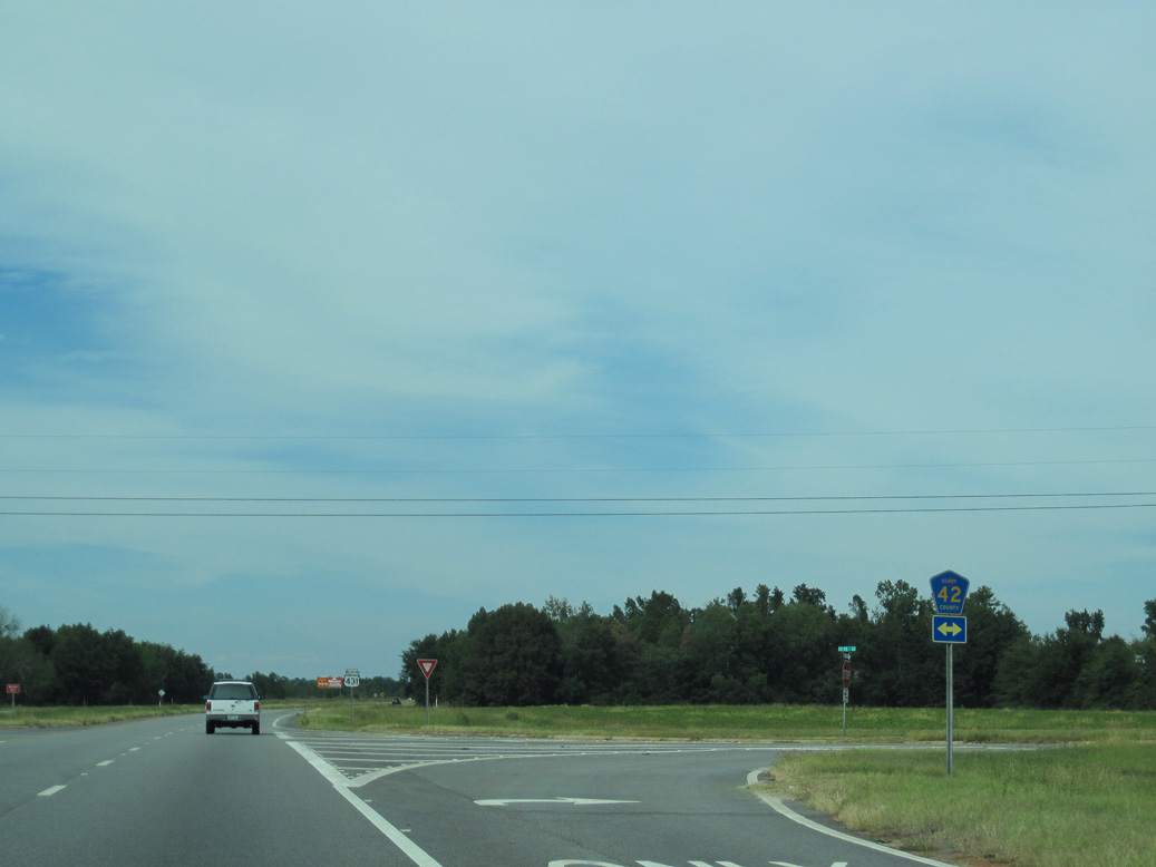
Straddling the Henry / Houston County line, CR 22 runs 13.2 miles east to Pleasant Plains, Williams and SR 52/95 outside Columbia.
09/28/10
09/28/10
09/28/10
09/28/10

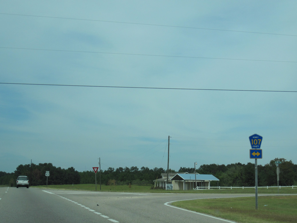
SR 134 travels 14.69 miles west from SR 95 in Columbia to U.S. 431 at E Church Street.
09/28/10
09/28/10
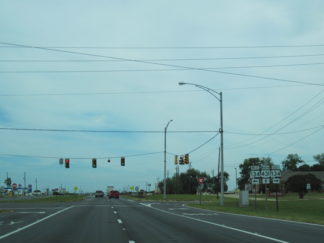
SR 134 was rerouted off Church Street west from U.S. 431 to Main Street northward onto overlaps with U.S. 431 and SR 173 in September 2010.
09/28/10
09/28/10
North  West
West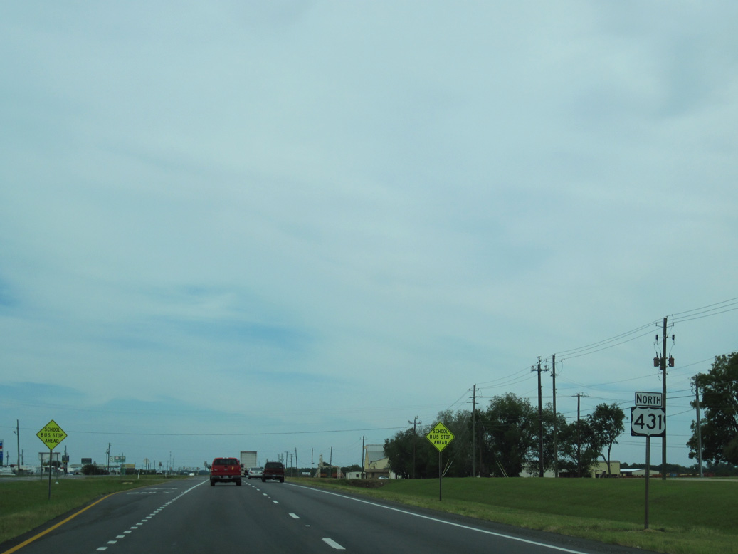
U.S. 431/SR 134 overlap 0.52 miles north to SR 173 (Main Street) and CR 99 north.
09/28/10
09/28/10
SR 134 combines with SR 173 (E Main Street) 1.09 miles west to Broad and Main Streets at Downtown Headland.
09/28/10
09/28/10
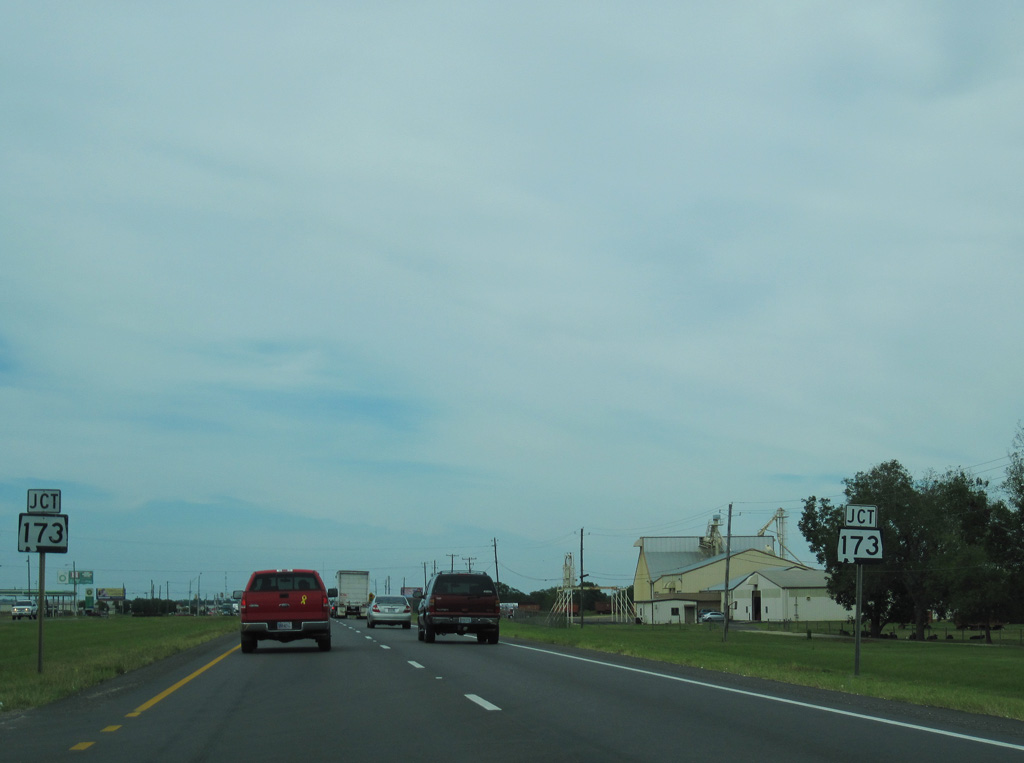
SR 173 parallels U.S. 431 north from SR 431 in Headland to the town of Newville and Capps.
05/27/10
05/27/10

State Route 173 runs 14.46 miles north to SR 27 southwest of Abbeville.
05/27/10
05/27/10
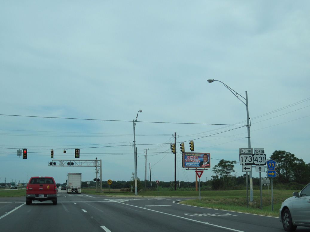
Representing the former alignment of U.S. 431, CR 99 branches northeast from U.S. 431/SR 134 to Tumbleton en route to SR 27 (Kirkland Street) in Abbeville.
09/28/10
09/28/10
09/28/10
North
U.S. 431 proceeds north through Headland across Blackwood Creek.
05/27/10
05/27/10
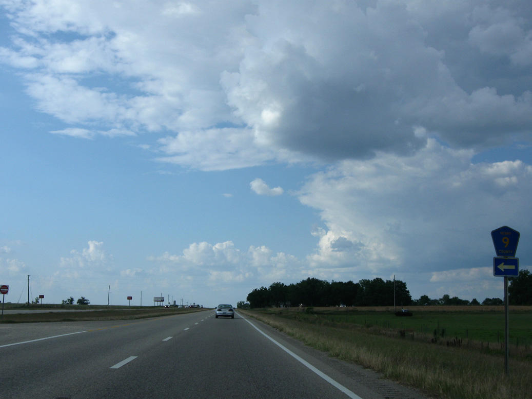
Paralleling U.S. 431 north from SR 134/173 in Headland, CR 9 runs 2.5 miles north to U.S. 431 beyond the Headland city line.
05/27/10
05/27/10
The reassurance marker posted north after County Road 156 was removed by 2022.
09/28/10
09/28/10
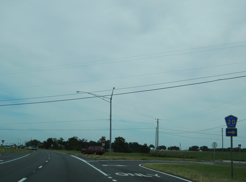
U.S. 431 passes through southeastern reaches of the Newville town limits at CR 12 (E Columbia Road).
05/27/10
05/27/10
U.S. 431 crosses Sandy Creek beyond Newville.
05/27/10
05/27/10
09/28/10
09/28/10
09/28/10
09/28/10
09/28/10
09/28/10
09/28/10
09/28/10
09/28/10
09/28/10
09/28/10
09/28/10
05/27/10
09/28/10
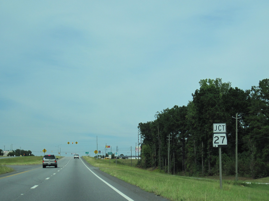
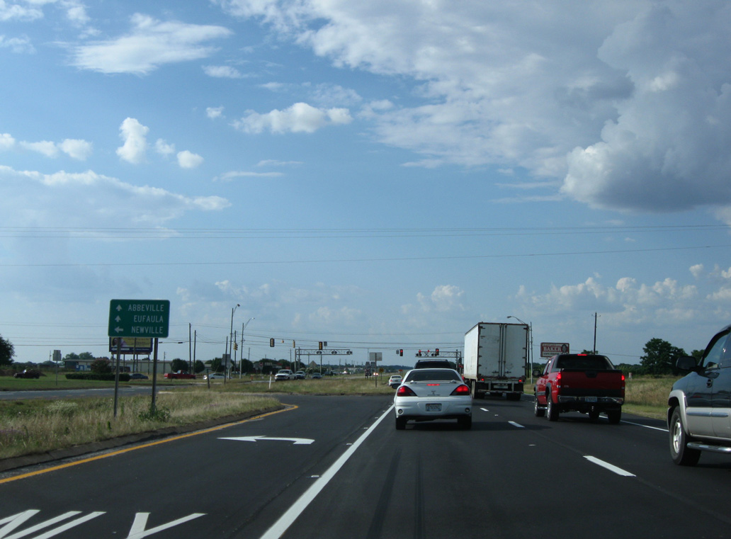
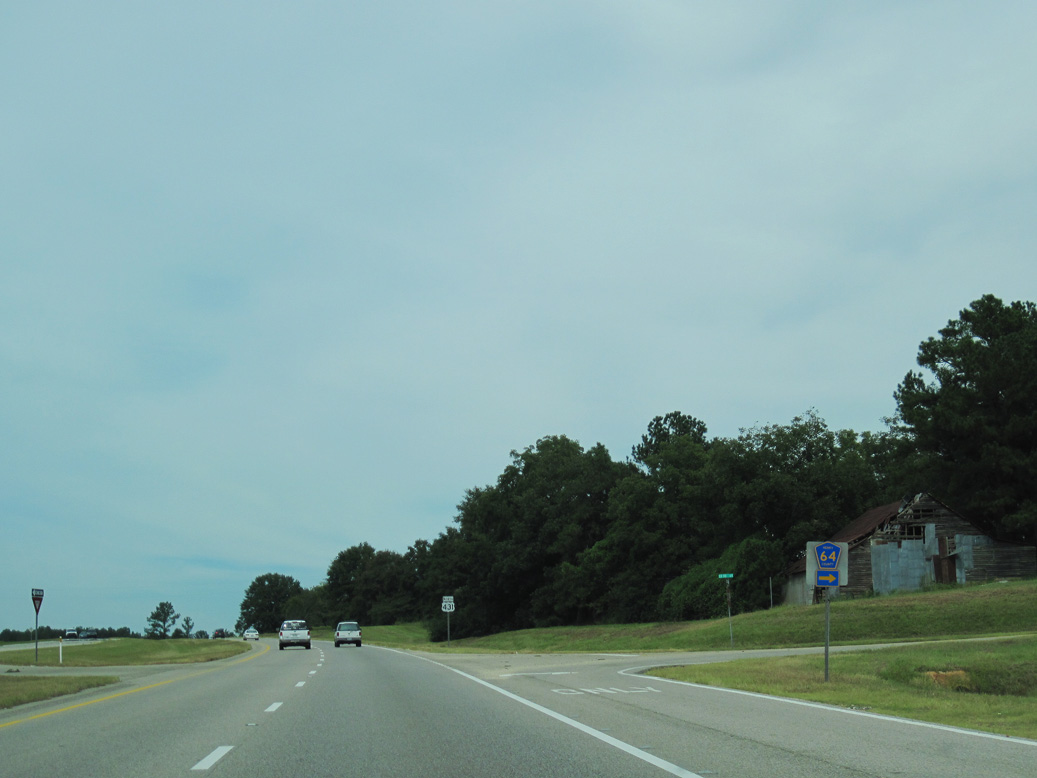
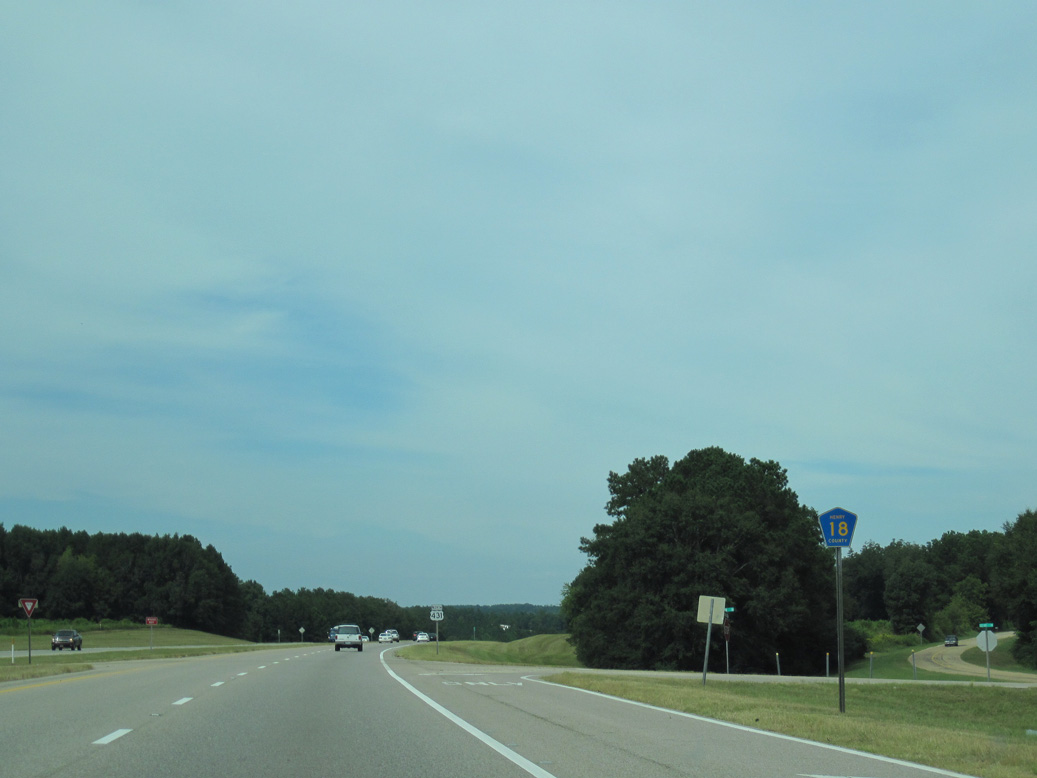
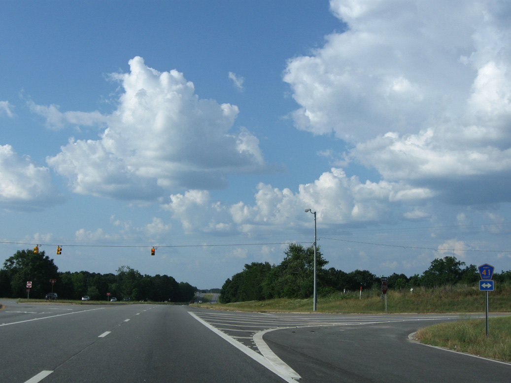
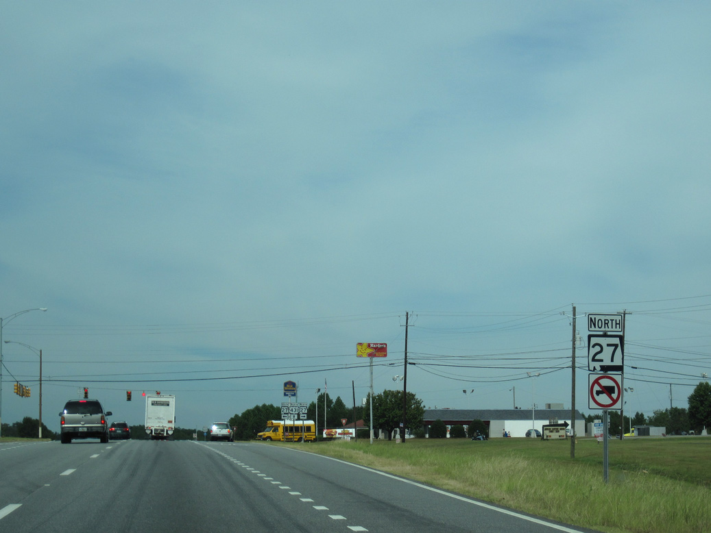
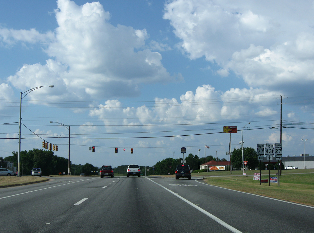
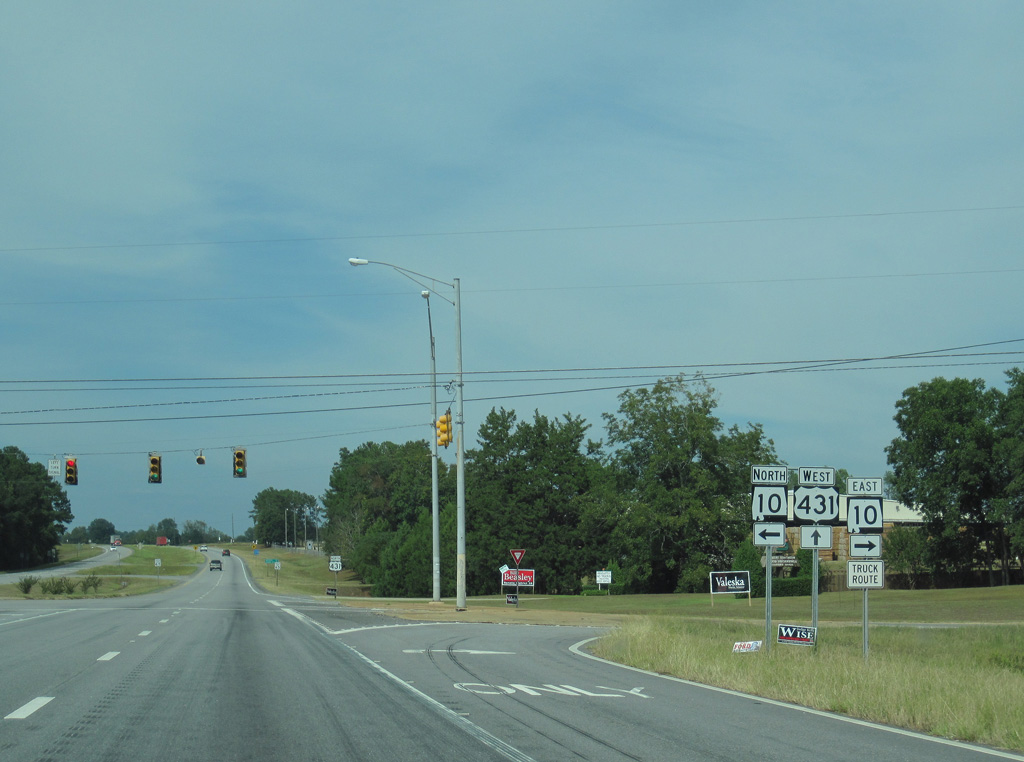
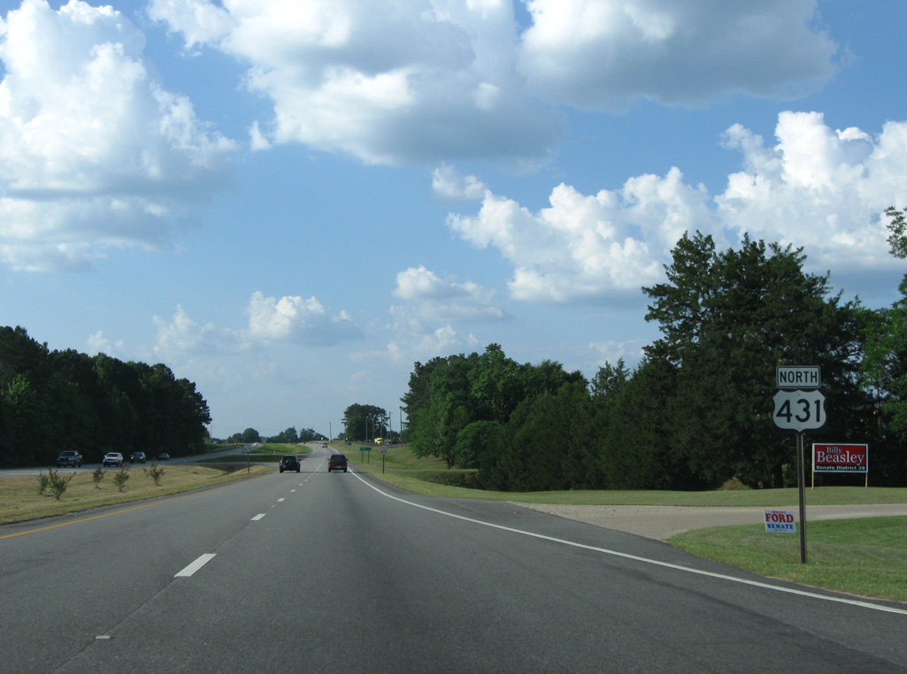
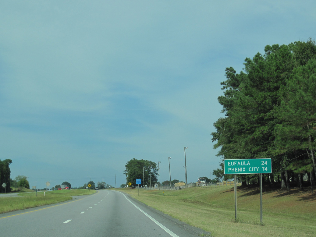
SR 27 converges with U.S. 431, 24 miles east from the Dale County seat of Ozark.
09/28/10
09/28/10
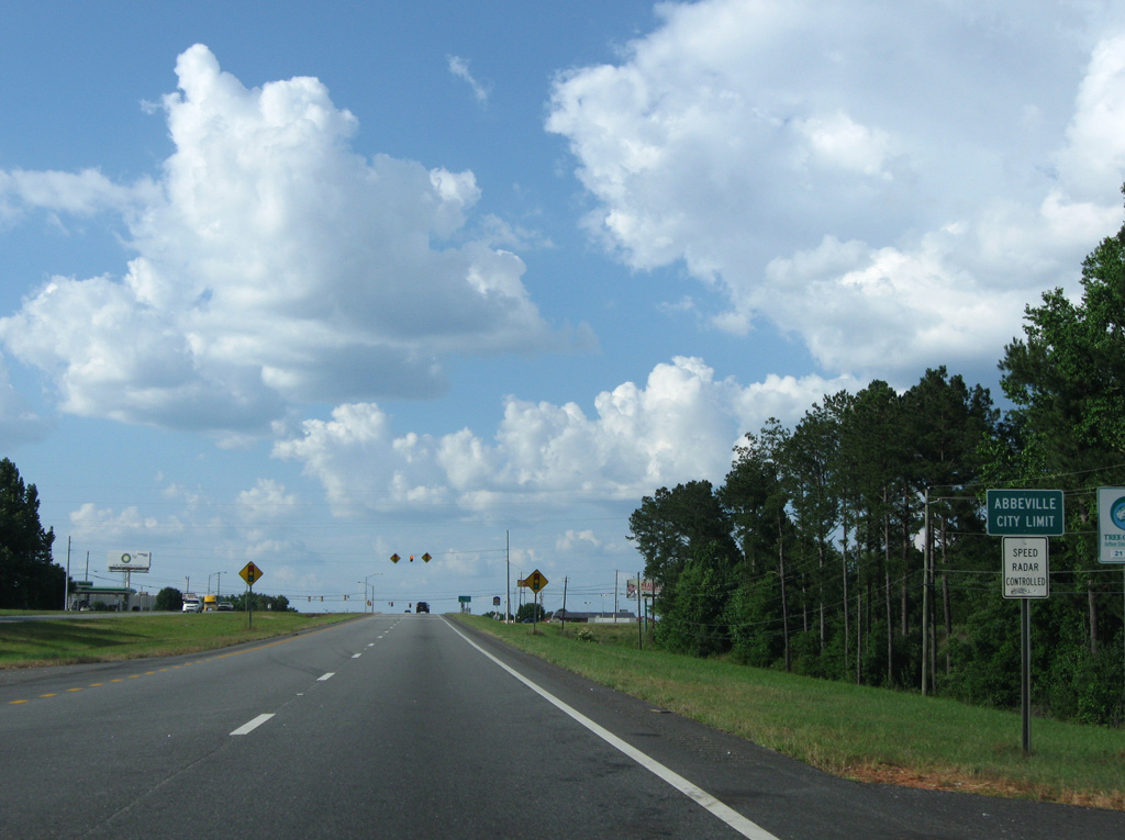
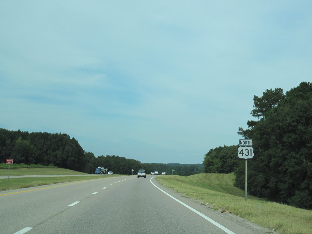
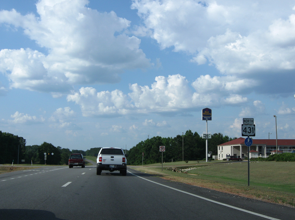
U.S. 431 enters the Henry County seat of Abbeville just ahead of SR 27.
05/27/10
05/27/10

SR 27 heads 2.84 miles northeast from U.S. 431 to conclude at SR 10 (Washington Street) by the Henry County Courthouse.
09/28/10
09/28/10
09/28/10
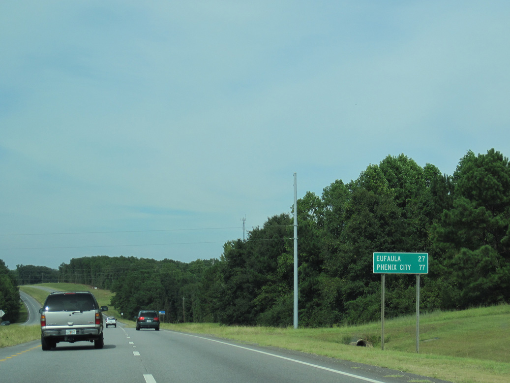
SR 27 travels 77.12 miles overall from the Florida state line southwest of Geneva to Abbeville.
05/27/10
05/27/10
05/27/10
09/28/10
09/28/10
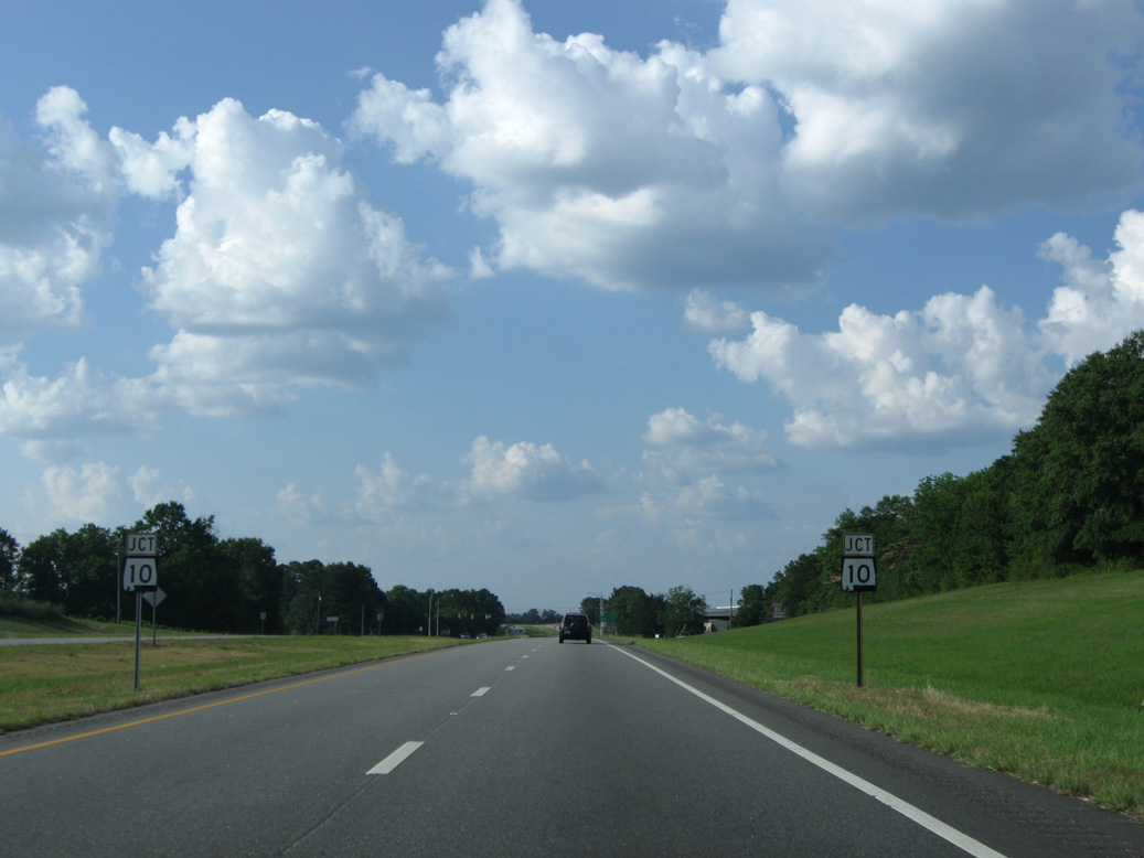
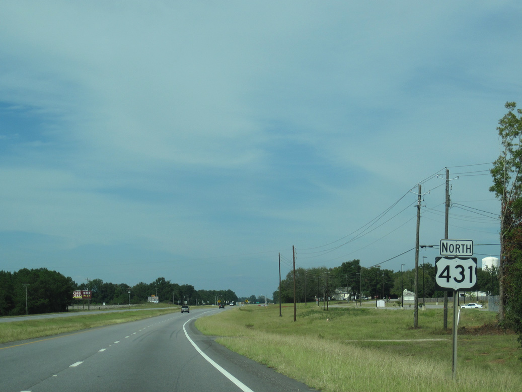
SR 10 intersects U.S. 431 west of Graball in north Abbeville.
05/27/10
05/27/10
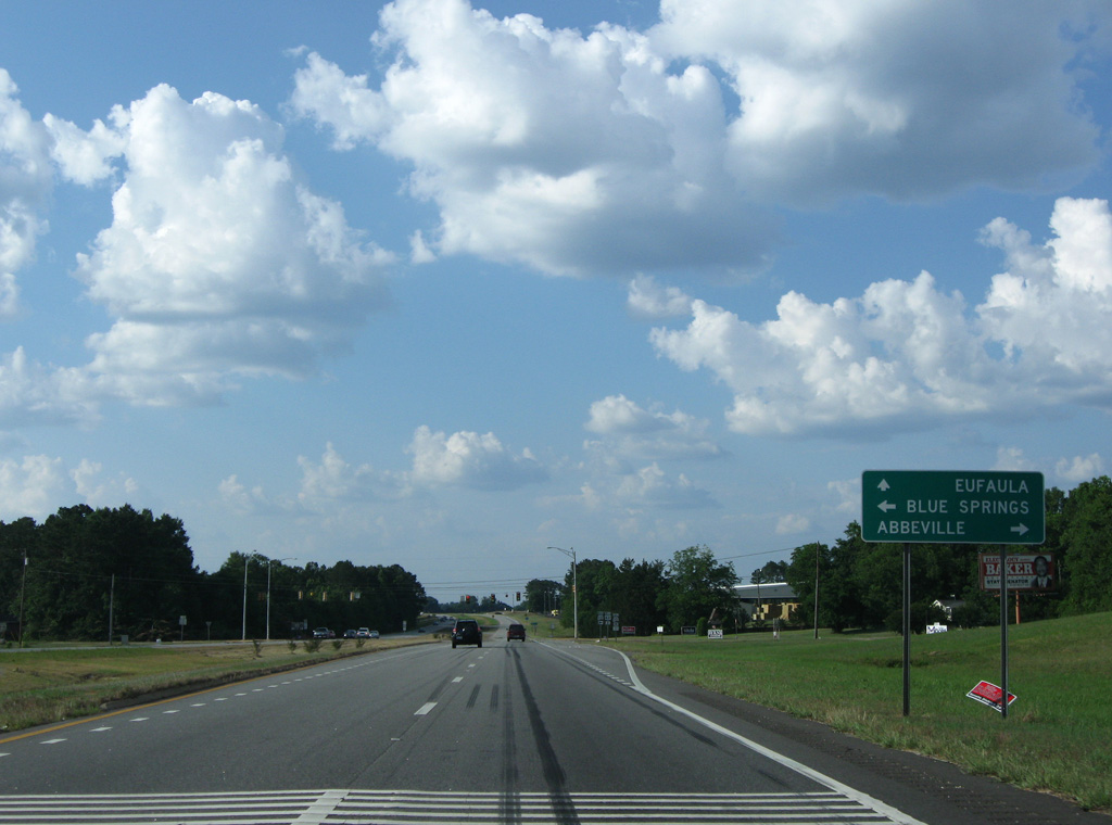
West from U.S. 431, SR 10 travels 14 miles to the town of Blue Springs in Barbour County and 21.86 miles to SR 51 in the city of Clio.
05/27/10
05/27/10
09/28/10
05/27/10
09/28/10


Photo Credits:
- ABRoads: 09/28/10
- Brent Ivy: 05/27/10
- Alex Nitzman: 05/27/10, 09/28/10
Connect with:
Page Updated Friday August 19, 2022.