
U.S. 441 Business - Cherokee

U.S. 441 Business at Cherokee comprises a 1.87 mile long route east from U.S. 441 to U.S. 19 at Harrah's Charokee Casino Resort, and north with U.S. 19 over Cherokee Gap and the Oconaluftee River.
U.S. 441 Business between Cherokee and Indian Hills was approved by the American Association of State Highway and Transportation Officials (AASHTO) on December 5, 1987.
Request made to provide services of businesses along this route to a substantial volume of tourist traffic as well as other traveling public.The original 1.42 mile long route follows Casino Trail northeast from U.S. 441 to U.S. 19, and alongside U.S 19 west over Cherokee Gap to Whitewater Drive (SR 1391), the former alignment of U.S. 441.
U.S. 441 was also relocated in 1987 onto a five lane boulevard 1.28 miles northwest across the Oconaluftee River to U.S. 19, and alongside U.S. 19 east 0.48 miles to its original alignment. U.S. 441 Business was extended 0.45 miles west from Whitewater Drive on U.S. 19 to rejoin U.S. 441 in Cherokee.
 South
South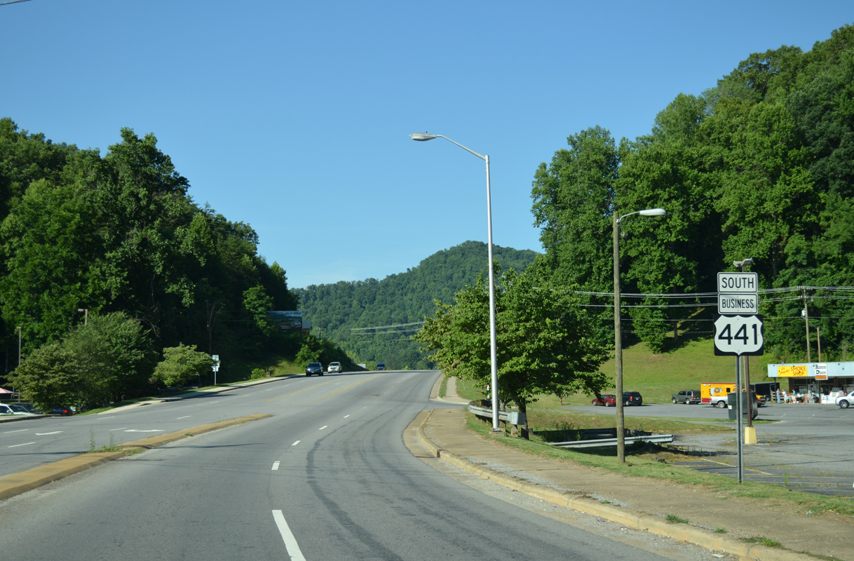
Crossing Soco Creek, U.S. 441 Business angles 0.82 miles southwest from U.S. 19 along Casino Trail.
07/05/04

Casino Trail constitutes a five lane commercial boulevard south to U.S. 441 by Thomas Peak.
07/05/04
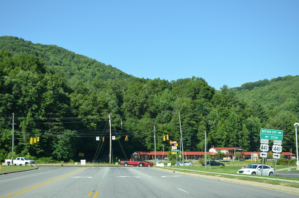
U.S. 441 south combines with U.S. 74 (Great Smoky Mountains Expressway) east in 4.1 miles toward Dillsboro and Sylva. U.S. 441 north crosses the Oconaluftee River north to U.S. 19, which leads west from Cherokee to Birdtown, Ela and Bryson City.
07/05/04
Photo Credits:
- Brent Ivy: 07/05/04
Connect with:
Page Updated Thursday May 13, 2021.