
U.S. 550
U.S. 550 travels 174.89 miles in northern New Mexico from Rio Rancho and Santa Ana Pueblo to the Colorado line north of Aztec. The highway originates at a single point urban interchange with Interstate 25 and NM 165 in Sandoval County. Progressing north into Zia Pueblo, U.S. 550 heads toward White Mesa and NM 4 at the village of San Ysidro. A series of S-curves leads U.S. 550 west around Red Mesa and the Sierra Nacimiento to Jemez Pueblo.
Continuing northward along the Rio Puerco, U.S. 550 reaches the town of Cuba. The route turns west from NM 96 through Jicarilla Apache Nation Reservation to Counselor and the Rio Arriba County line. The northernmost extent of U.S. 550 in New Mexico arcs 68 miles through San Juan County, connecting the Albuquerque area with Farmington via U.S. 64 west from Bloomfield.
Prior to 1999, U.S. 550 concluded in the city of Farmington, partially following the route of NM 516 west from Aztec. The highway was realigned over NM 44 south from Aztec and extended to Bloomfield and Interstate 25 at the town of Bernalillo.
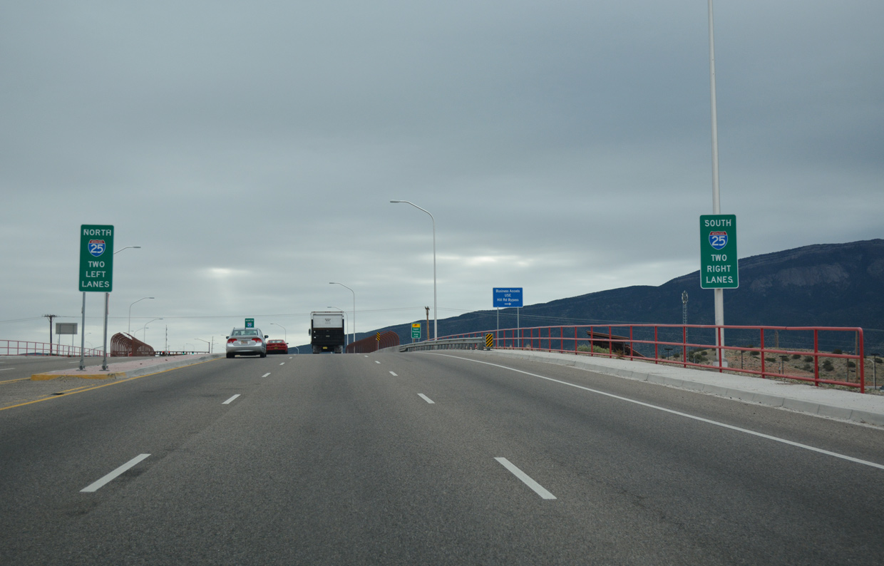
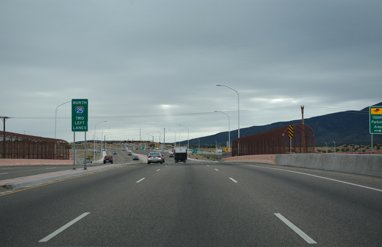
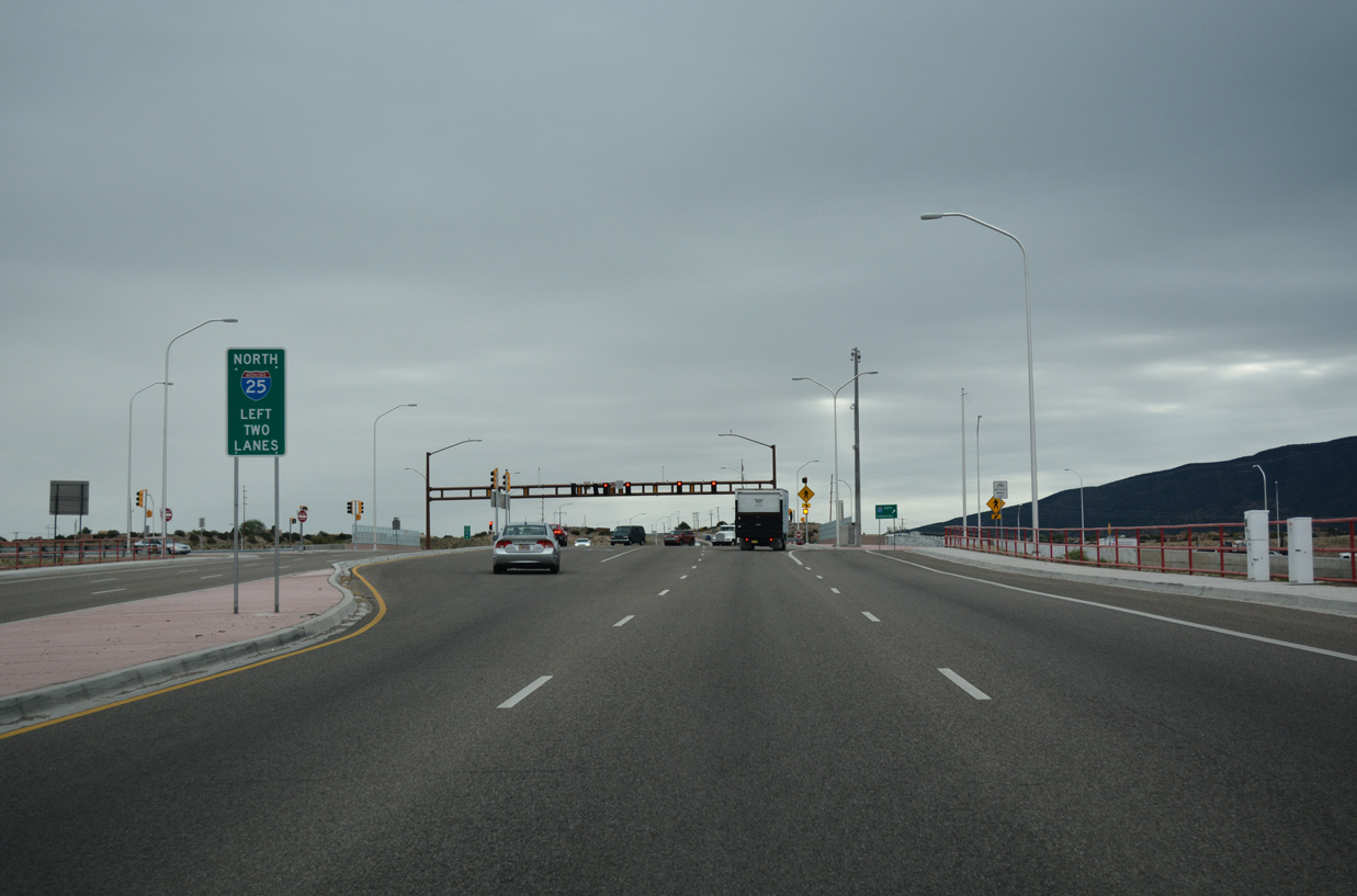
NM 165 west ends as U.S. 550 north begins at the SPUI joining the two routes with Interstate 25 in Bernalillo.
04/28/17
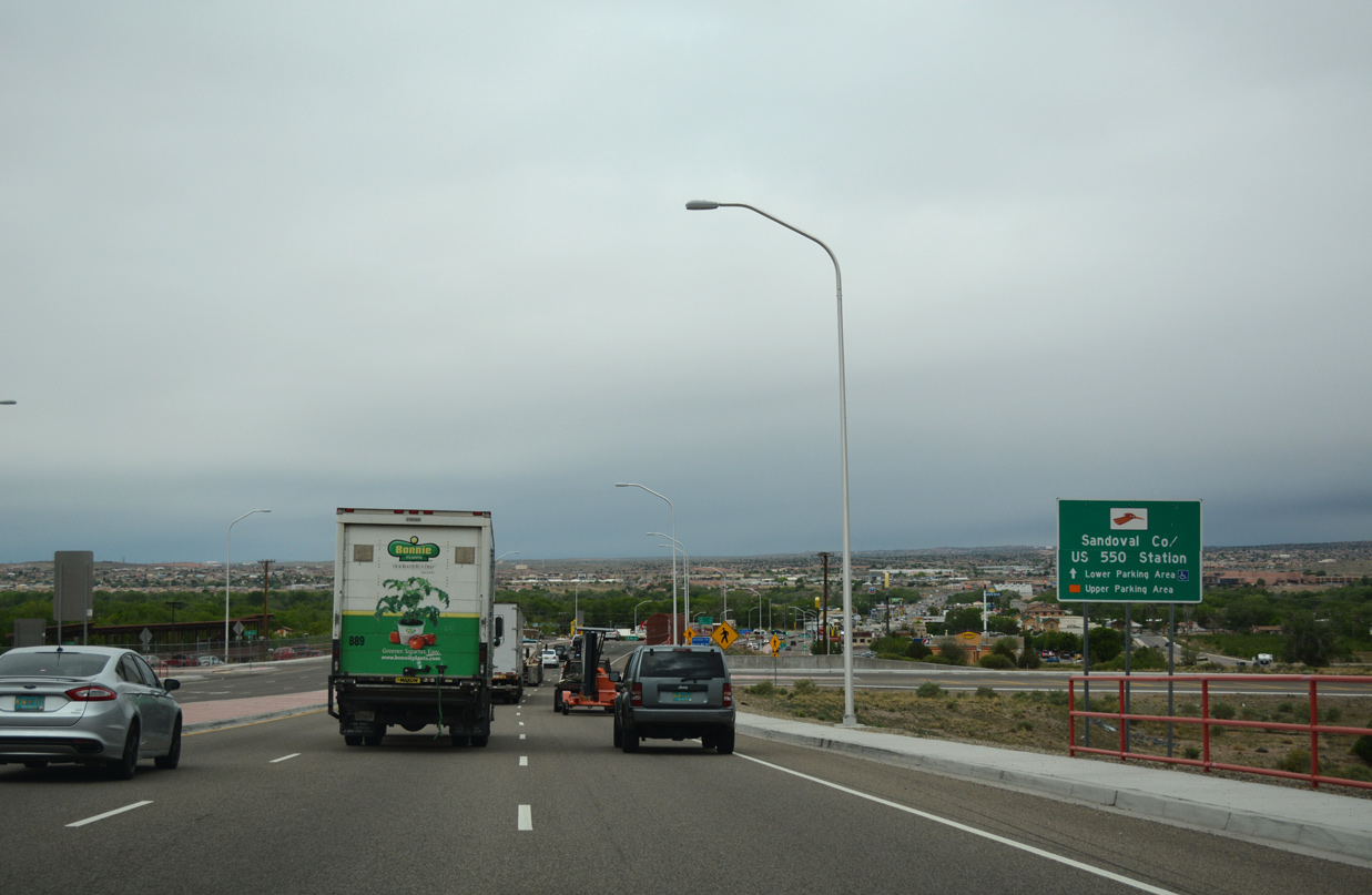
Hill Road ties into U.S. 550 just west of I-25 and NM 165 by the Sandoval County / US 550 Station for New Mexico Rail Runner Express, with service between Belen and Santa Fe.
04/28/17
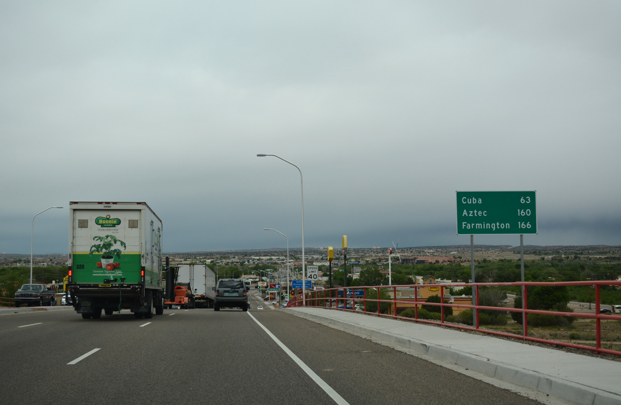
U.S. 550 leads 63 miles northwest from Bernalillo to Cuba and 160 miles to Aztec.
04/28/17
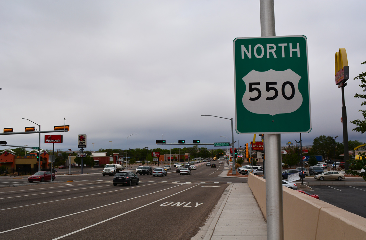
The first confirming marker for U.S. 550 north stands at the commercialized intersection with Rail Runner Avenue and Spartan Alley.
04/28/17
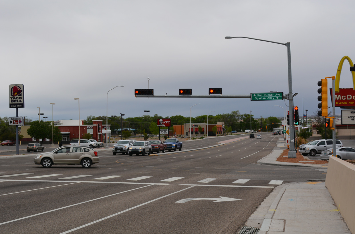
Rail Runner Avenue connects U.S. 550 with the New Mexico Rail Runner Express - Sandoval County / US 550 Station. Spartan Way ties in from Bernalillo High School to the north.
04/28/17
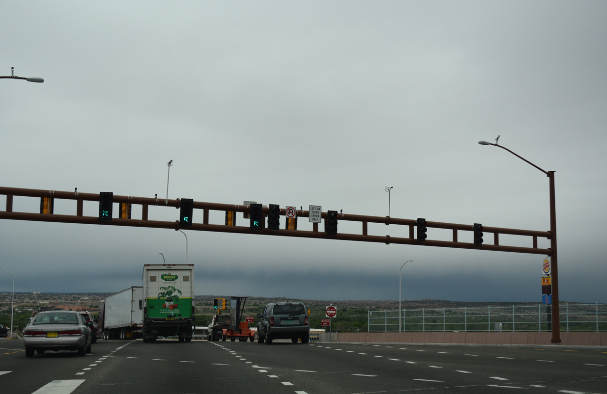
U.S. 550 approaches Interstate 25 through a commercialized stretch from the north side of Rio Rancho into the town of Bernalillo.
04/28/17
U.S. 550 spans the New Mexico Rail Runner Express transit corridor ahead of Hill Road to the Sandoval County / US 550 Station and the exchange with Interstate 25.
04/28/17
Interstate 25 replaced U.S. 85 as the main route between Albuquerque and the capital city of Santa Fe. The freeway was expanded to six lanes south from U.S. 550 in 2011.
04/28/17
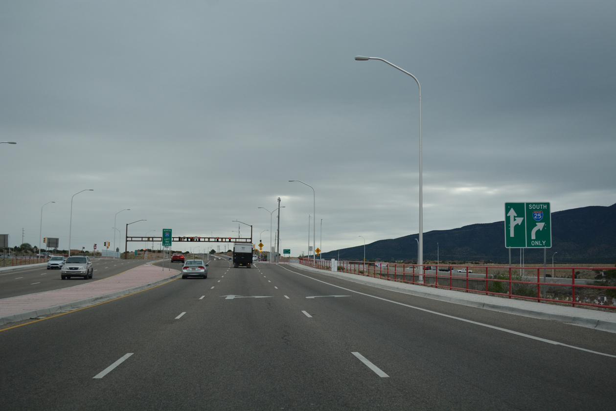
Santa Fe lies 39 miles north of the single point interchange (SPUI) joining U.S. 550 with Interstate 25.
04/28/17
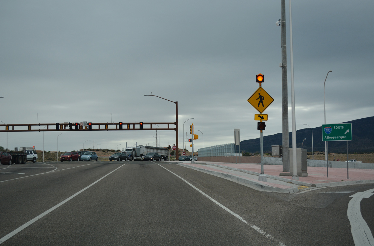
The Big I interchange joining I-25 with I-40 northeast of Downtown Albuquerque is 16 miles away from the south end of U.S. 550 at Bernalillo.
04/28/17
Constructed between March 2013 and July 2014, the SPUI linking U.S. 550 south and NM 165 west with I-25 replaced a parclo interchange. NM 165 extends east from the exchange to Placitas and the Sandia Mountains.
04/28/17
Photo Credits:
- ABRoads, Chris Kalina: 04/28/17
Connect with:
Page Updated Thursday June 13, 2019.