
Interstate 25


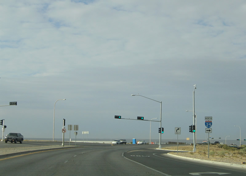
Interstate 25 at the north end of the Truth or Consequences business loop. - 04/25/2017
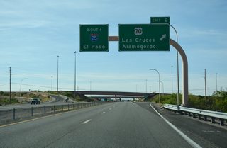
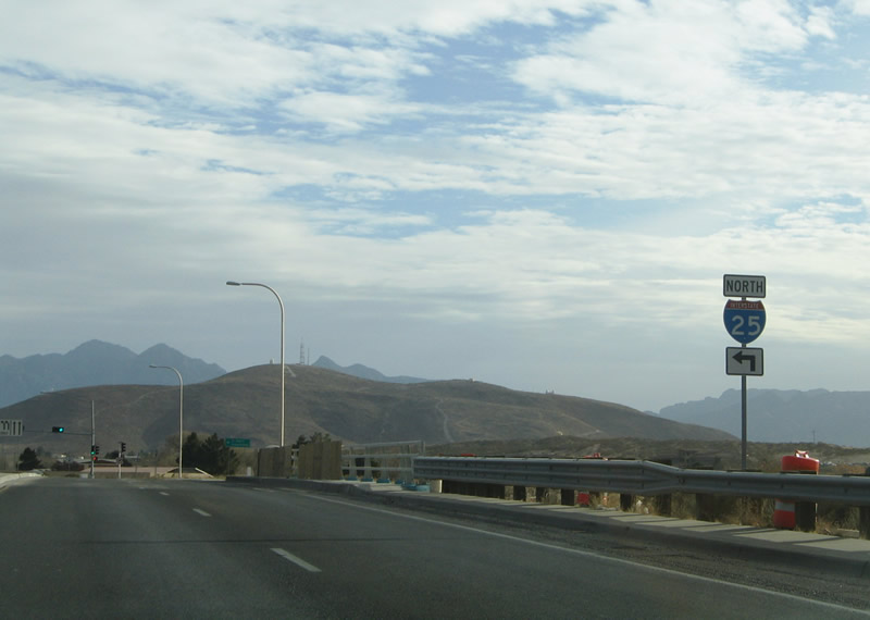
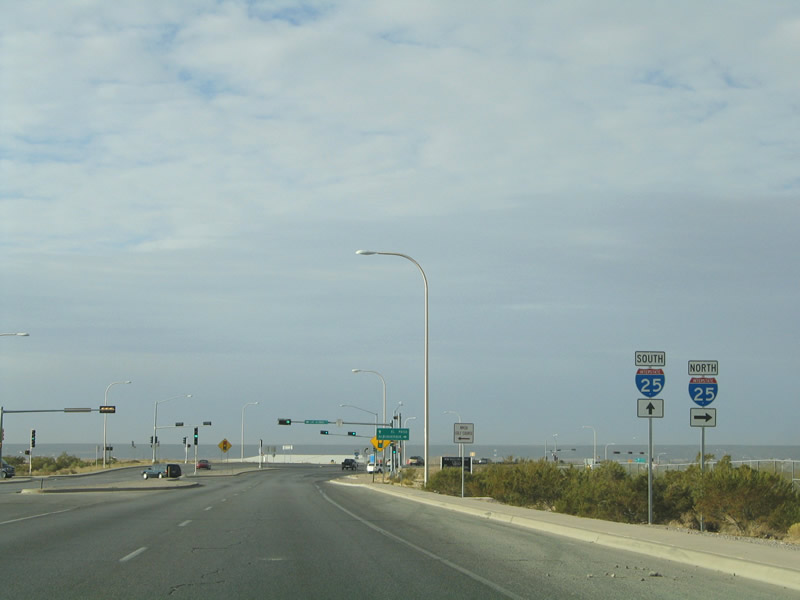
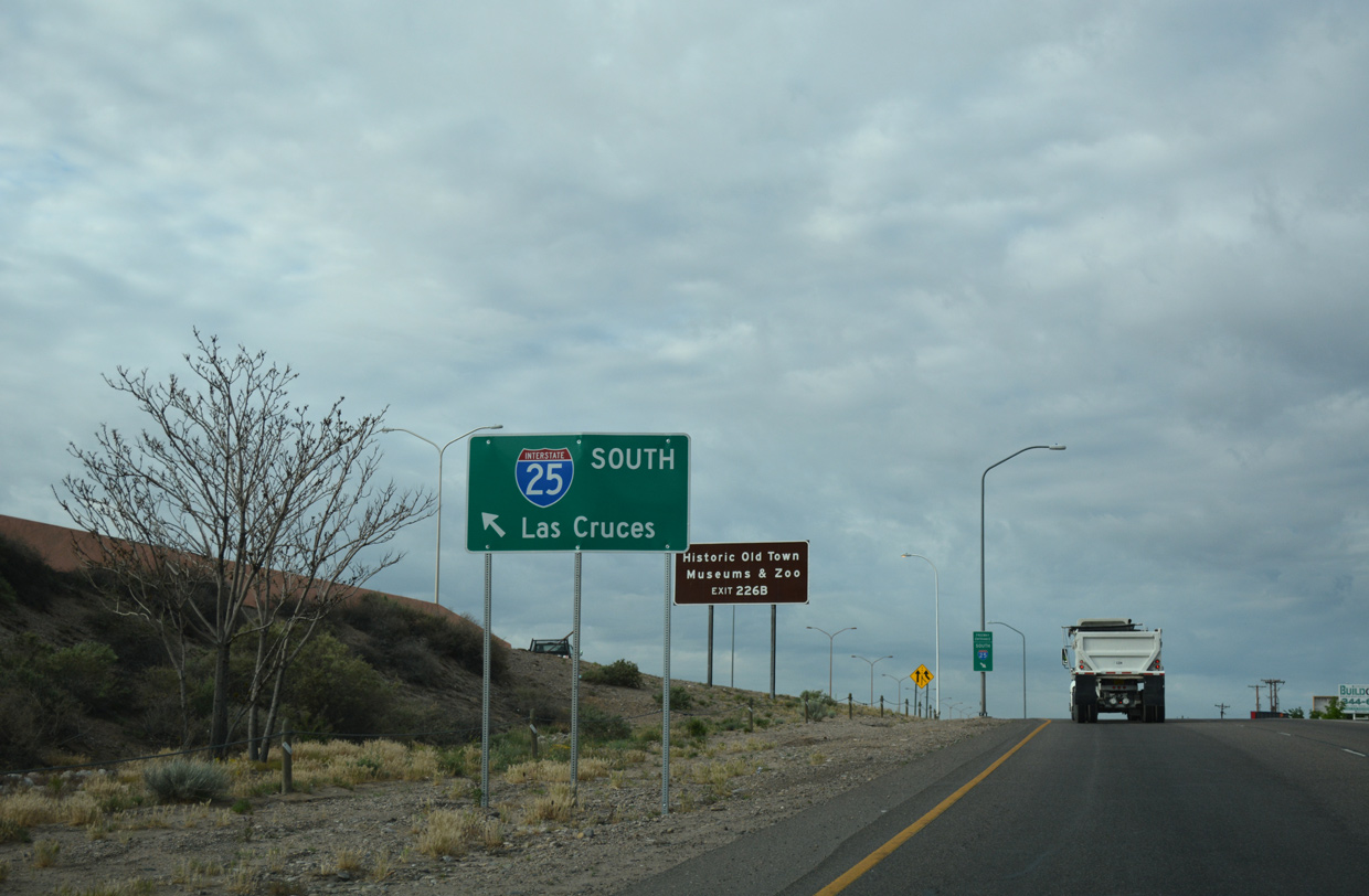
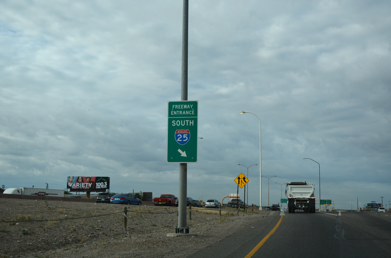
Originating in Las Cruces and the Mesilla Valley, Interstate 25 branches northward from I-10. The bulk of the freeway parallels the Rio Grande River, displacing U.S. 85 northward to Albuquerque. The 462.12 mile route within New Mexico includes a long stretch where the freeway travels southward as it circumvents the Sangre De Cristo and Santa Fe Mountains between the capital city and Las Vegas. The freeway exits the state at Raton Pass, north from Raton through Railroad Canyon toward Trinidad, Colorado.
Interstate 25 replaced U.S. 85 from Las Cruces northward to Castle Rock, Colorado. U.S. 85 is not officially acknowledged within New Mexico, but remains posted both south in El Paso, Texas and north at Fountain, Colorado and from Castle Rock to Denver.
Interstate 25 New Mexico Guides
North
Doña Ana County - 18 photos

Bernalillo County - 48 photos

Sandoval County - 33 photos
Santa Fe County - 70 photos
South
Bernalillo County - 49 photos
Valencia County - 23 photos
Socorro County - 83 photos

Sierra County - 2 photos
Doña Ana County - 61 photos
Business Routes

Business Loop I-25 - Belen - 21 photos
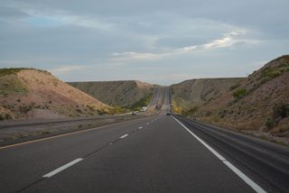
Passing through Rincon Valley, I-25 travels by Hatch as it circumvents the Caballo Mountains. Shifting west of the Rio Grande, Interstate 25 runs alongside Caballo Reservoir to the city of Truth or Consequences. The Rio Grande feeds Elephant Butte Reservoir to the east while I-25 advances north across Monticello Canyon along plateaus rising to the west. Long straight aways extend I-25 northward into Socorro County and over Nogal Canyon. The west end of U.S. 380 follows at San Antonio and Exit 139.
Entering the city of Socorro, Business Loop I-25 separates along old U.S. 85. U.S. 60 converges with the freeway from Magdalena and overlaps with I-25 north 25 miles to Exit 175. Staying within the Rio Grande valley, Interstate 25 continues north to Belen and Los Lunas. The Bernalillo County line and Albuquerque metropolitan area lie a short distance beyond Los Lunas.
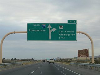
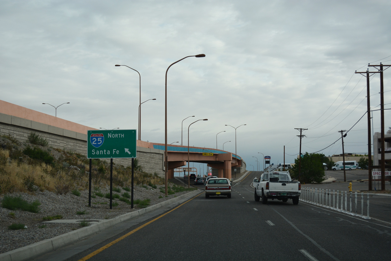
Heading north through Albuquerque, I-25 initially turns east across the Rio Grande at South Valley along the Pan American Freeway. The highway continues to Albuquerque International Sunport (ABQ), and between Downtown and the University of New Mexico campus to the Big I interchange with Interstate 40. North from the systems exchange with I-40, the freeway runs through a retail and industrial corridor to Sandia Pueblo.
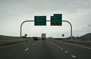
Making a gradual northeasterly turn, Interstate 25 proceeds to the city of Santa Fe. NM 599 (Veterans Memorial Highway) forms an expressway belt route around the capital city from Exit 276 north to U.S. 84/285. I-25 stays to the south, curving away from the city through a valley along the Cerros Negros mountains.

Interstate 25 at NM 556 (Tramway Road east / Roy Avenue west) by the Sandia Resort & Casino north of Albuquerque. - 08/26/2006
The ensuing stretch of Interstate 25 arcs south with U.S. 285 to Exit 290 and back northeast around the Sangre De Cristo Mountains with U.S. 84 to Glorieta Pass. I-25 and U.S. 84 loop southward again between Glorieta Mesa and the Santa Fe Mountains to San Jose and north to their separation at Romeroville and Exit 339. I-25 crosses The Crestone through Puerto del Sur while U.S. 84 ventures southeast to Apache Springs and I-40 west of Santa Rosa.
The remainder of Interstate 25 in New Mexico travels from south to north. The freeway progresses through Las Vegas, where a business loop departs along old U.S. 85, and east of the Turkey Mountains to the village of Wagon Mound. Heading north into Springer, another business loop separates from I-25, connecting Interstate 25 with the west end of U.S. 56/412. U.S. 64 east follows, overlapping with I-25 north into Raton. U.S. 64 departs there for Capulin alongside U.S. 87, while U.S. 87 north accompanies the freeway into Colorado.
A parclo interchange joins University Drive east with Interstate 25 at Exit 1 in Las Cruces.
01/14/06
University Avenue extends west from Dripping Springs Road from Tortugas Mountain to meet Interstate 25 ahead of New Mexico State University.
01/14/06

University Avenue spans Interstate 25 west from Memorial Medical Center and NMSU Golf Course to NMSU Pan American Center and Aggie Memorial Stadium.
01/14/06
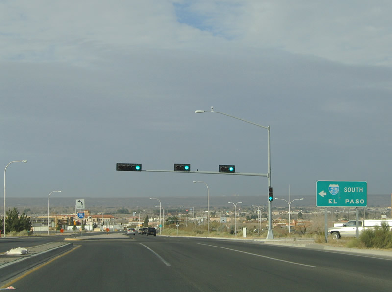
Interstate 25 southbound merges with I-10 east three miles south of University Avenue en route to El Paso, Texas.
01/14/06
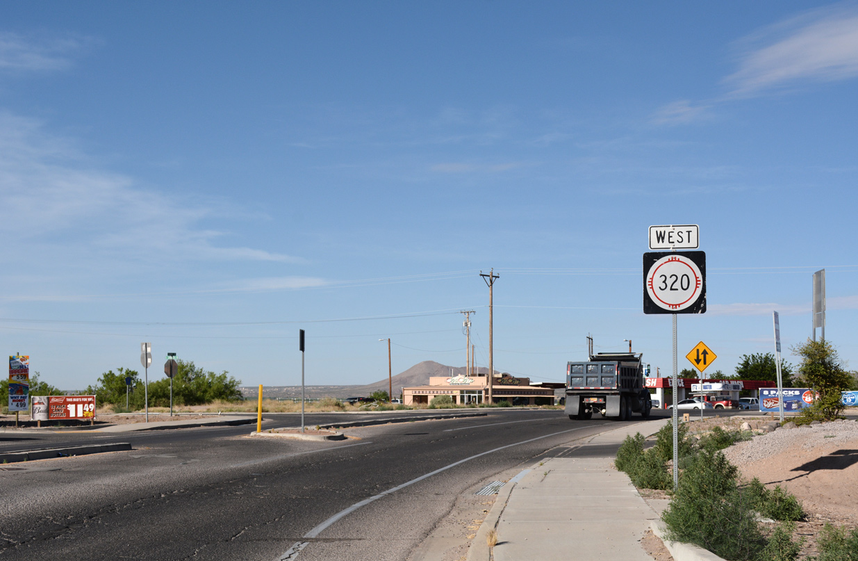
NM 320 confirming marker posted west of the exchange with Interstate 25 at Exit 9 in Doña Ana.
04/25/17
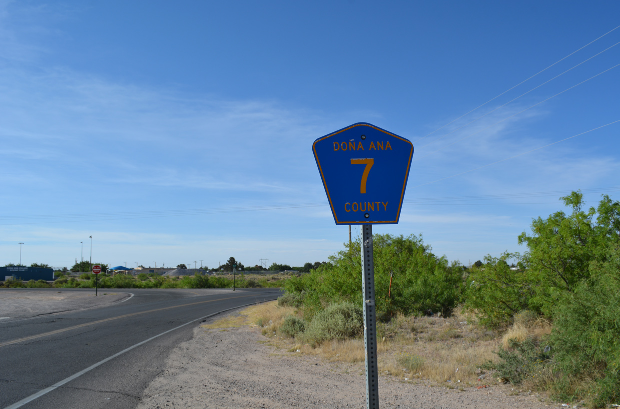
County Road 7 shield posted south of NM 320 (Thorpe Road) and Interstate 25 in Doña Ana. CR 7 follows El Camino Real (FL 5610) south 4.85 miles to U.S. 70 in Las Cruces.
04/25/17
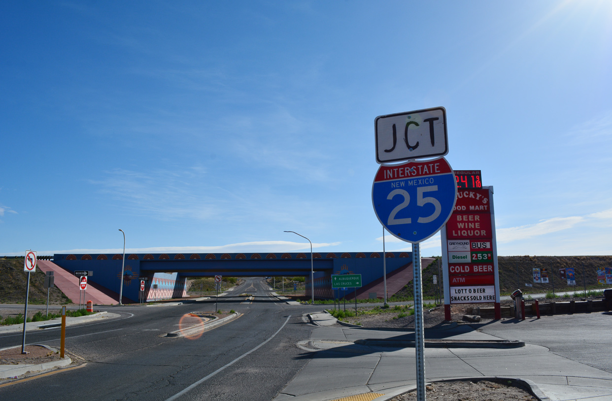
NM 320 (Thorpe Road) enters a diamond interchange with Interstate 25 east of CR 7 (El Camino Real) at unincorporated Doña Ana.
04/25/17
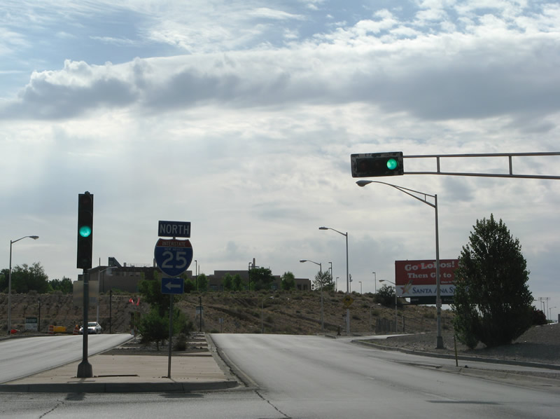
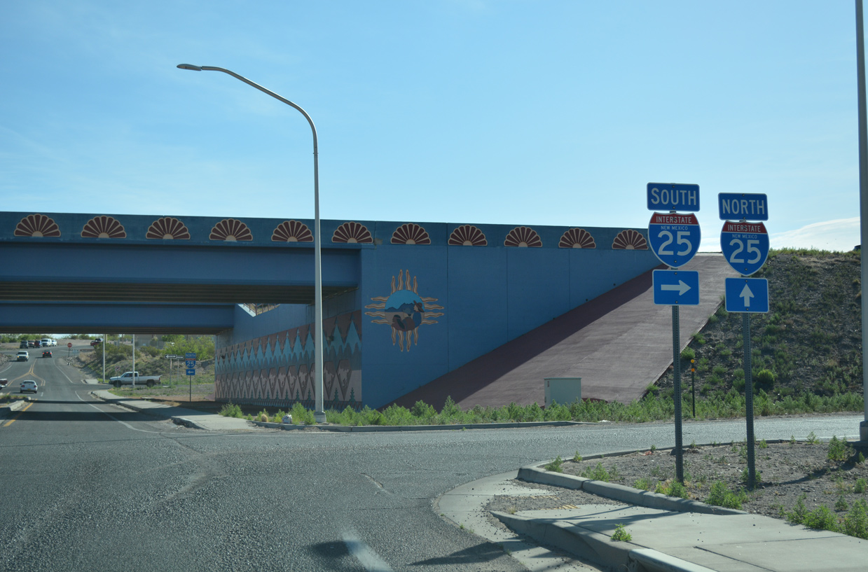
Avenida Cesar Chavez east at the northbound entrance ramp for Interstate 25 at Exit 223 in Albuquerque. Beyond the ridge ahead is the University of New Mexico sports complex and Isotopes Park.
06/29/08
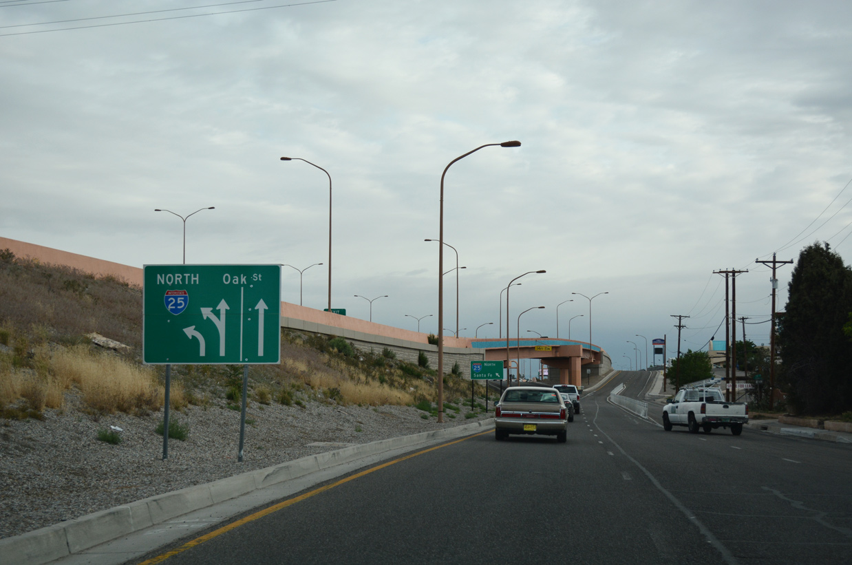
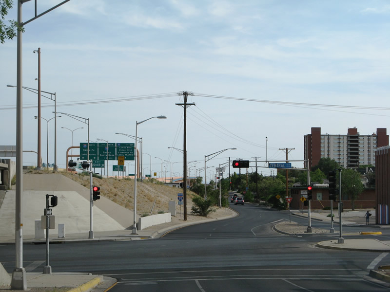
Oak Street north carries drivers from the I-25 northbound off-ramp at Exit 224A to Historic U.S. 66 (Central Avenue) in Downtown Albuquerque.
06/29/08
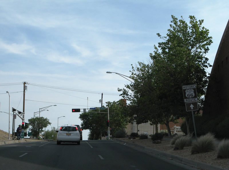
Traveling alongside I-25, Oak Street approaches the post-1937 alignment of U.S. 66 along Central Avenue in Albuquerque. Central Avenue connects the freeway with Downtown and the University of New Mexico (UNM) campus.
06/29/08
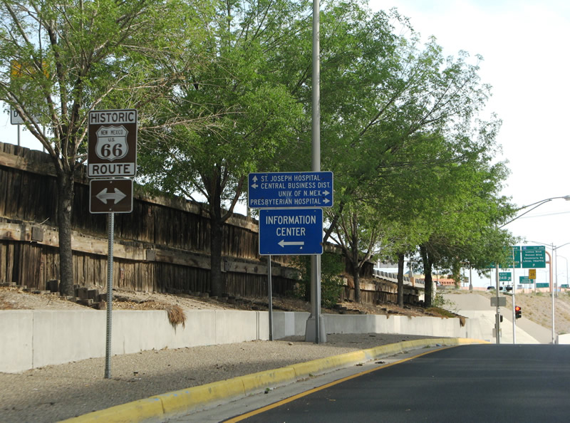
I-25 trailblazer posted along Oak Street north of Central Avenue.
04/28/17
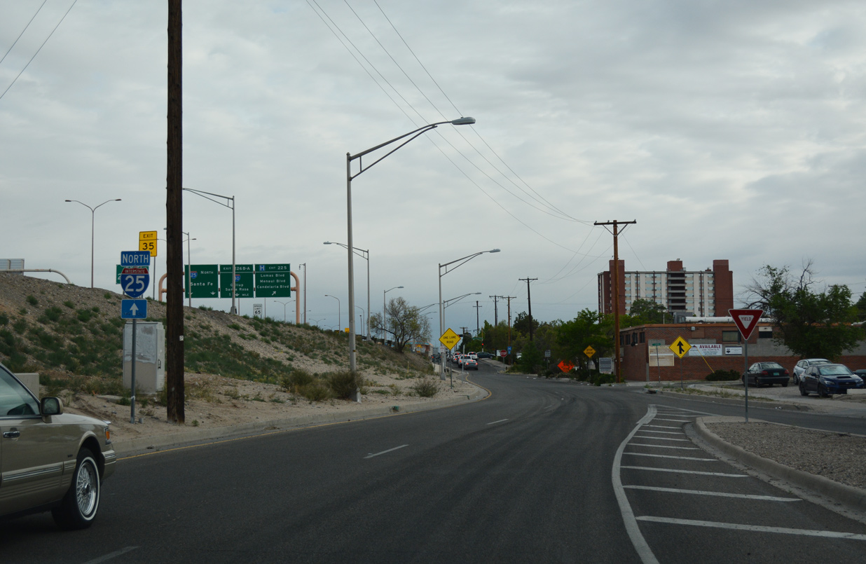
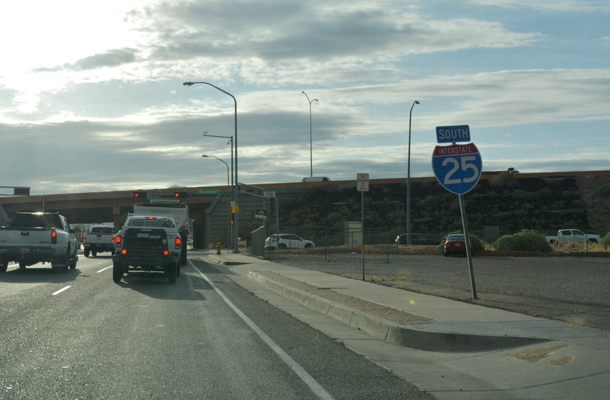
The entrance ramp for I-25 north leading into the Big I interchange with Interstate 40 separates from Oak Street north below a flyover leading to Lomas Boulevard.
04/28/17
Comanche Road (FL-5016) east at Interstate 25 in Albuquerque.
04/28/17

Named Pan American Freeway, a frontage road system accompanies I-25 through Albuquerque. Pictured here is the southbound approach to Candelaria Road and Menaul Boulevard. The succeeding entrance ramp lies south of the "Big I" interchange with Interstate 40.
04/27/17
04/28/17
Photo Credits:
- Alex Nitzman: 01/14/06
- ABRoads: 04/25/17, 04/27/17
- Andy Field: 06/29/08
- ABRoads, Chris Kalina: 04/28/17
Connect with:
Page Updated Friday June 14, 2019.