
State Route 9
One of Utah's most scenic drives, State Route 9 connects Interstate 15 at Exit 16 near St. George and Washington with U.S. 89 at Mount Carmel via Zion National Park. 12.11 miles of the 57.11 mile long highway travel across Zion National Park. This stretch is part of the National Park Road System, which prohibits commercial vehicles.
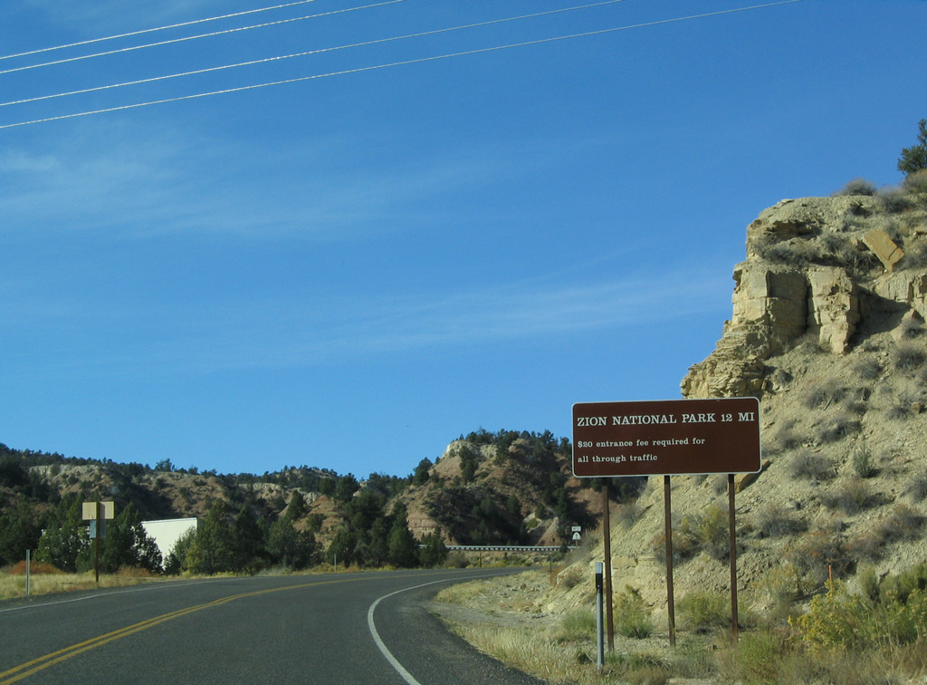
The eastern boundary of Zion National Park is 7.31 miles west of U.S. 89. The fee station for Zion N.P. is 13 miles from Mount Carmel Junction.
10/26/03
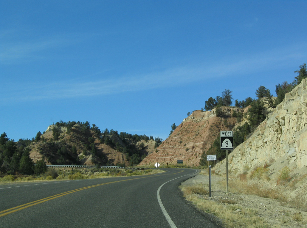
The first shield along westbound SR 9 stands ahead of a sweeping curve taking the state route southwest.
10/26/03
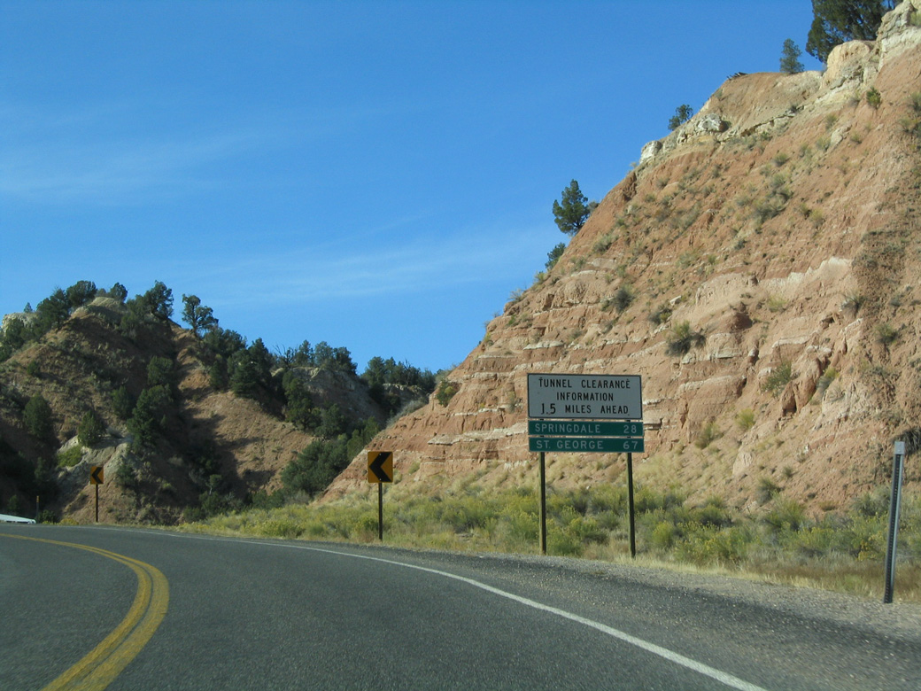
Since corrected, this distance sign incorrectly referenced Springdale at 28 miles, when SR 9 reaches the town in 25 miles. Located near the southwest corner of Utah along I-15, St. George is 65 miles away.
10/26/03
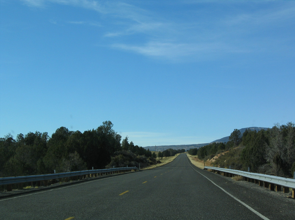
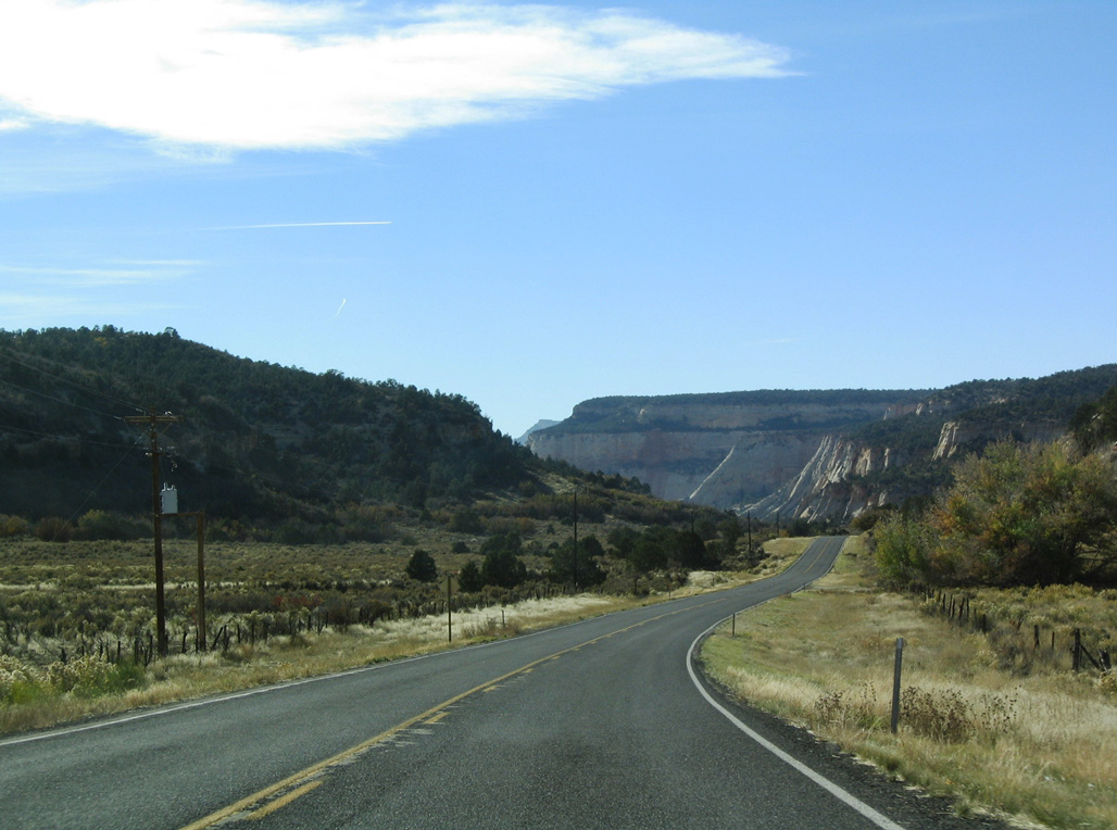
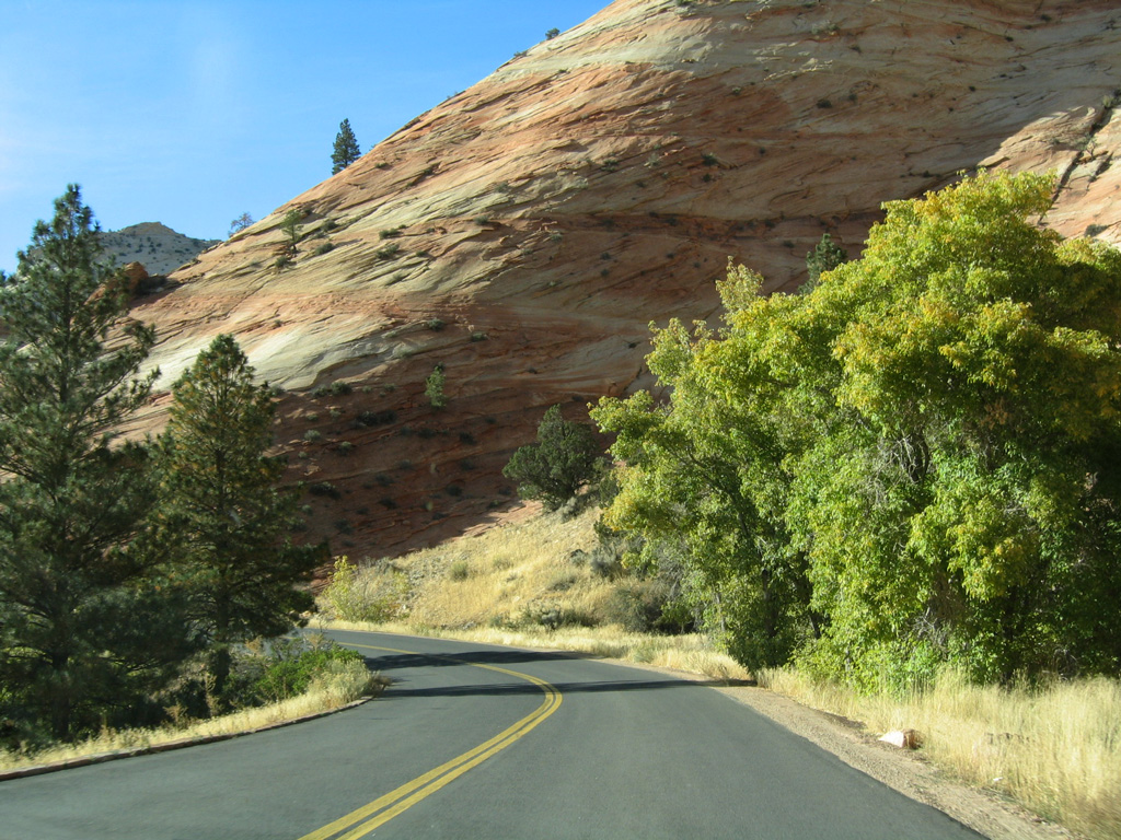
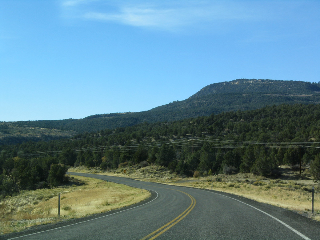
SR 9 west near mile marker 54.
10/26/03
Miners Gulch
10/26/03
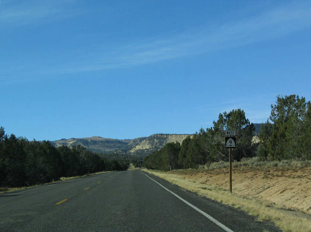
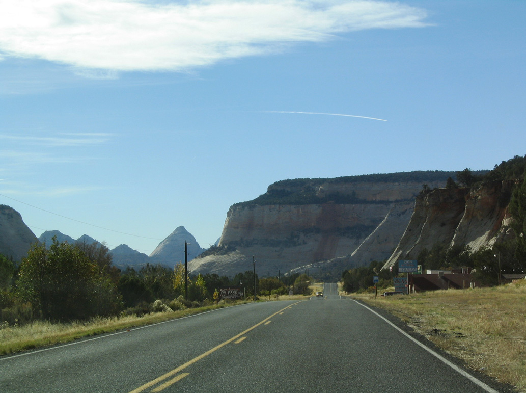
Located near mile marker 52, this is the last shield for SR 9 westbound before Zion National Park.
10/26/03
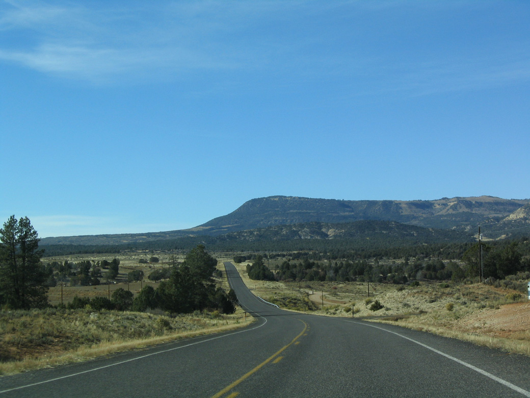
SR 9 navigates through an S-curve west from mile marker 51 across Meadow Creek.
10/26/03
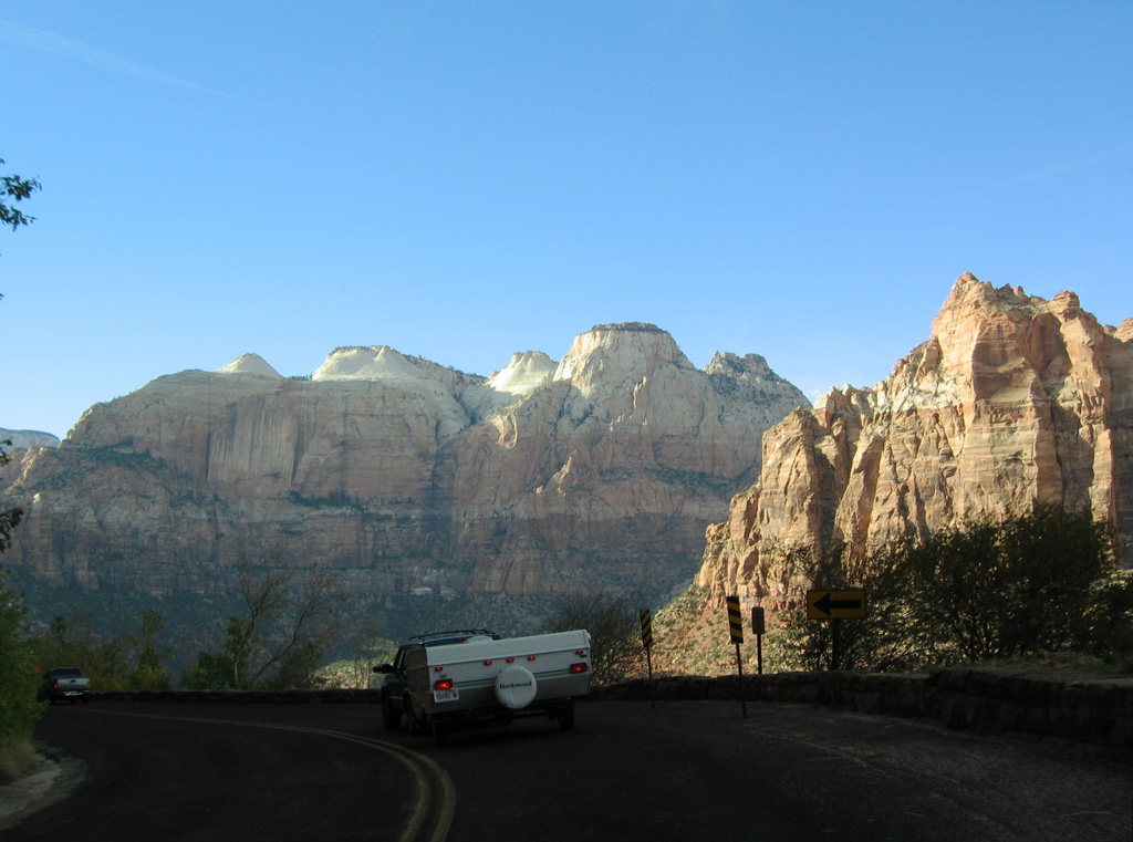
SR 9 west of Waterpocket Creek and the roundabout with North Fork Road.
10/26/03
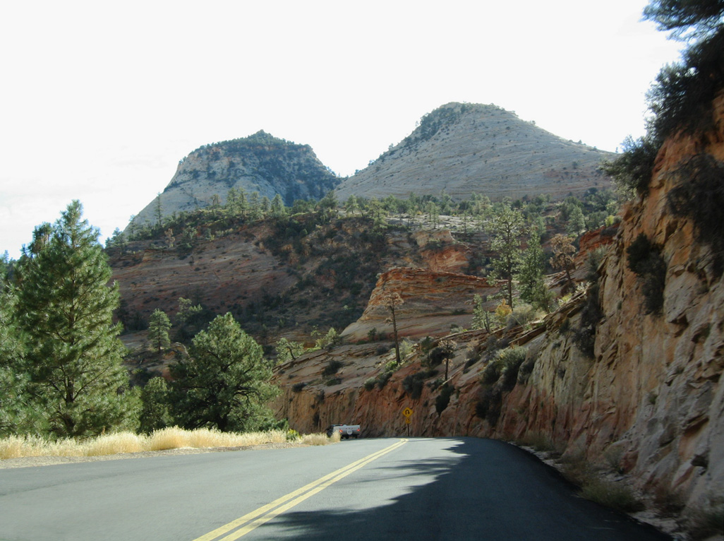
Maintenance responsibilities for SR 9 switch from UDOT to the National Park Service where the highway enters Zion National Park, west of mile marker 45.
10/26/03
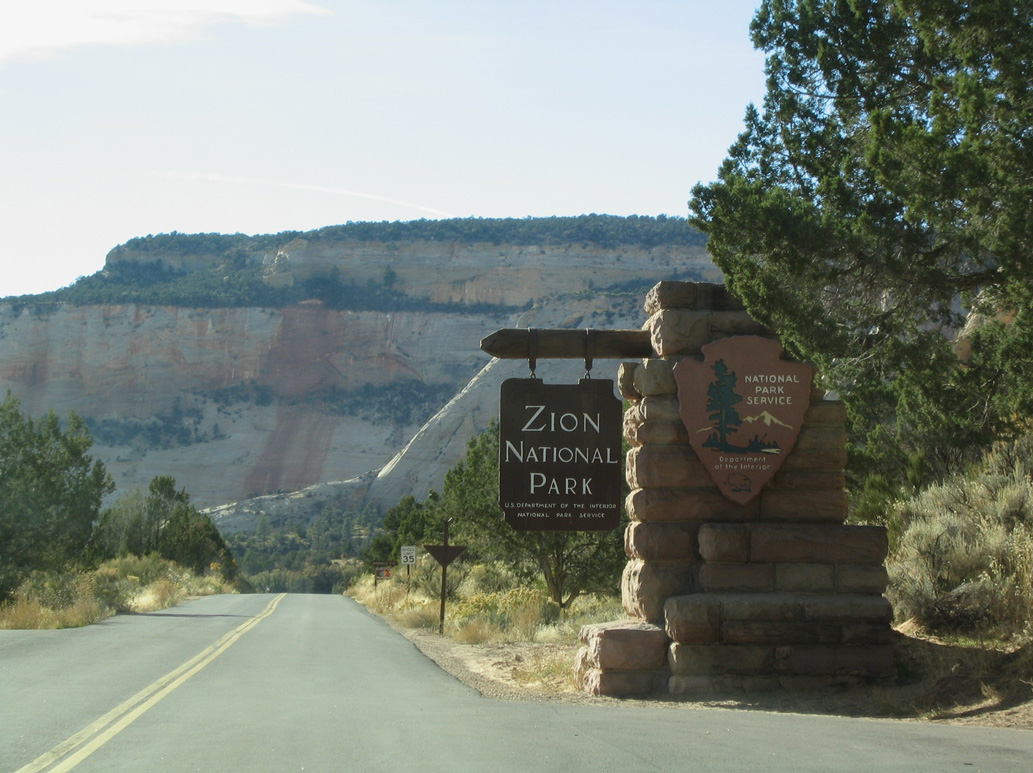
Upon entering Zion National Park, SR 9 changes into the Zion-Mount Carmel Highway. This entrance sign is the last chance to turn around before paying the park entry fee per vehicle.
10/26/03
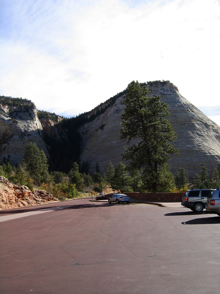
The Checkerboard Mesa View Area
10/26/03
UDOT still inventories the 12.11 miles of Zion-Mount Carmel Highway across Zion National Park as part of the overall SR 9 mileage.
10/26/03
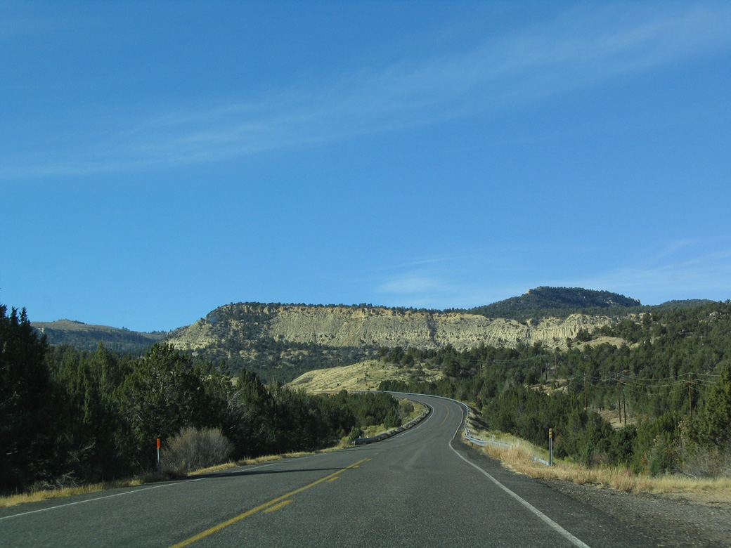
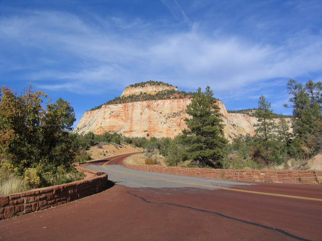
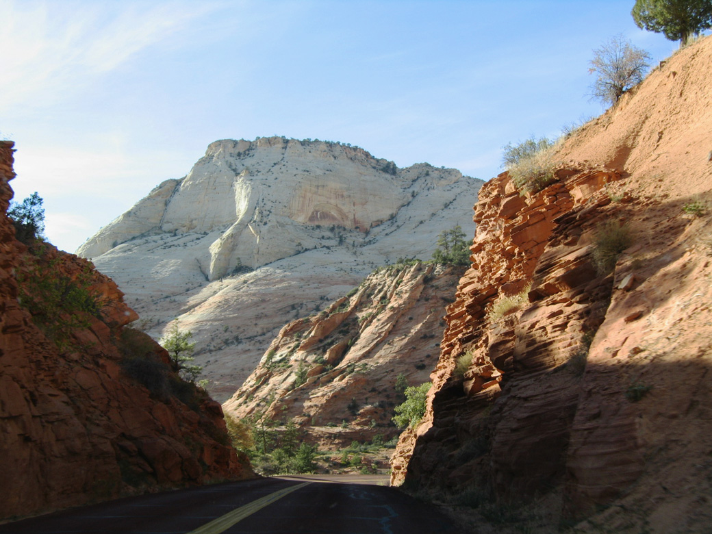
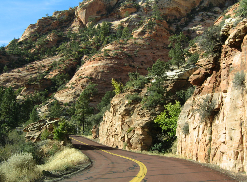
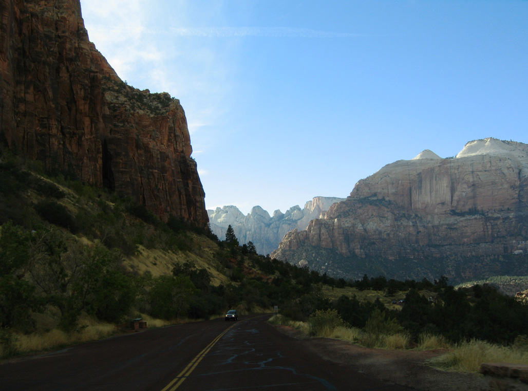
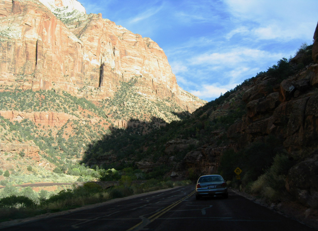
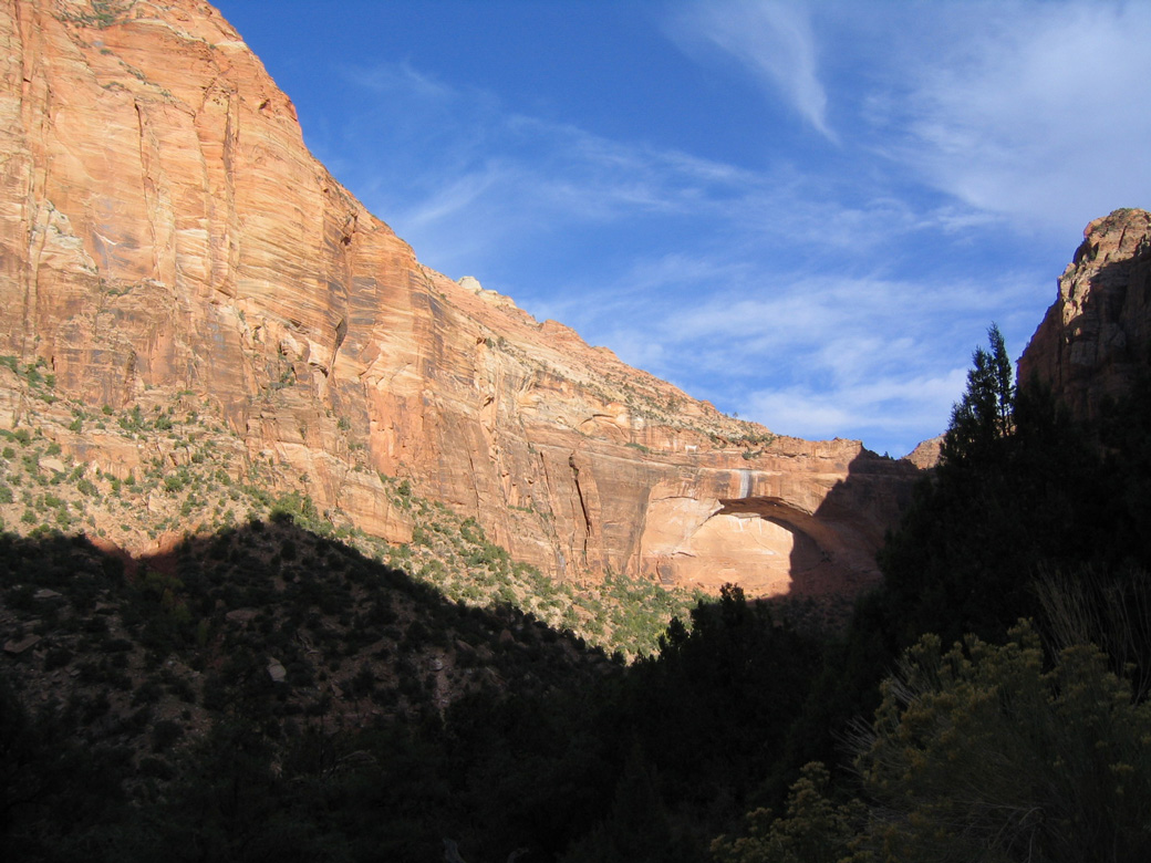
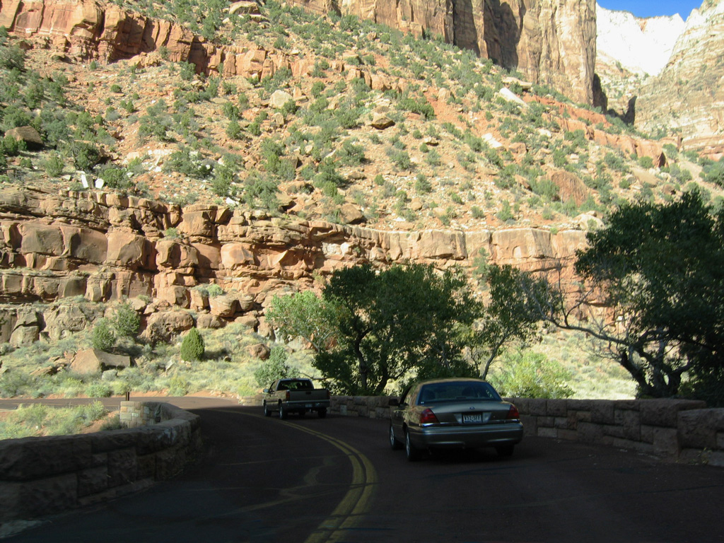
SR 9 passes by several sandstone rock formations en route to Zion Valley.
10/26/03
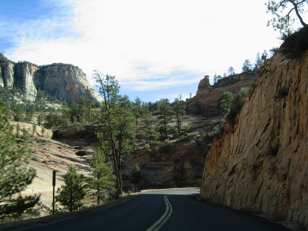
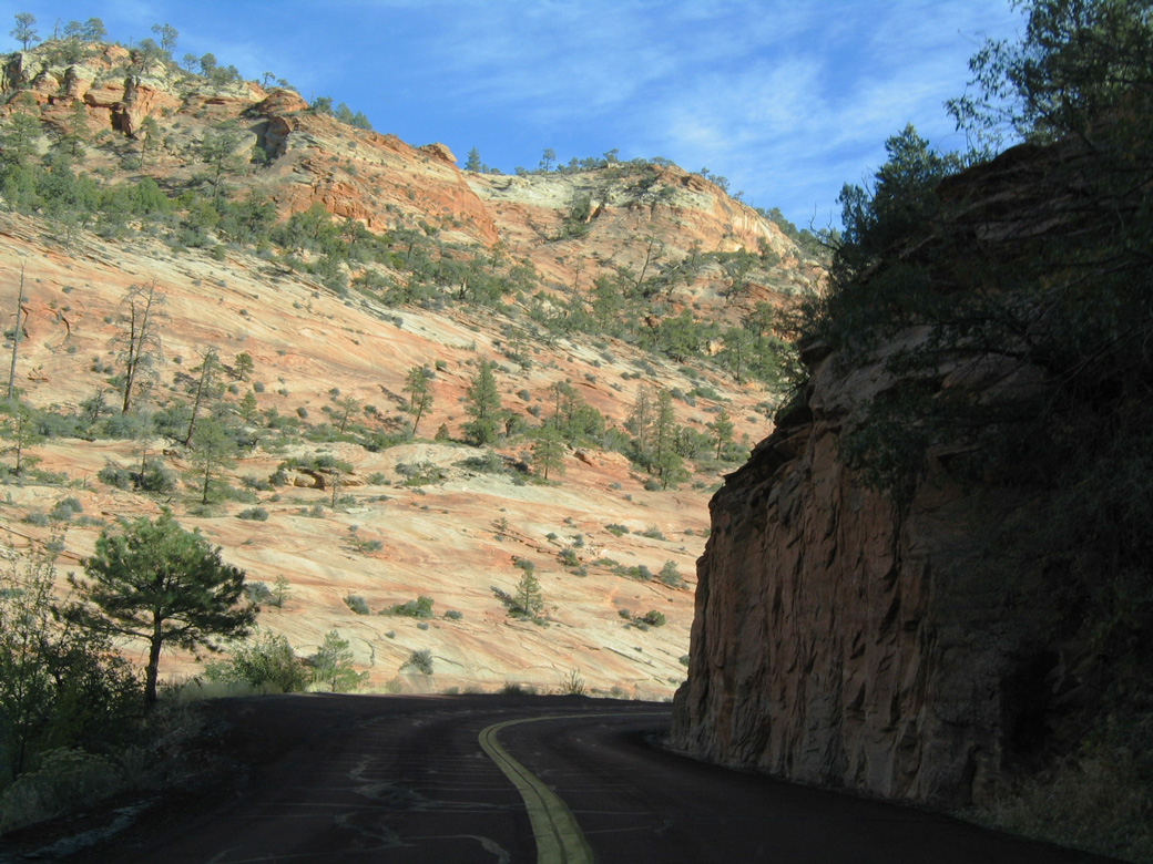
A narrow section of Zion-Mount Carmel Highway in Zion.
10/26/03
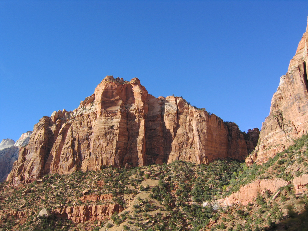
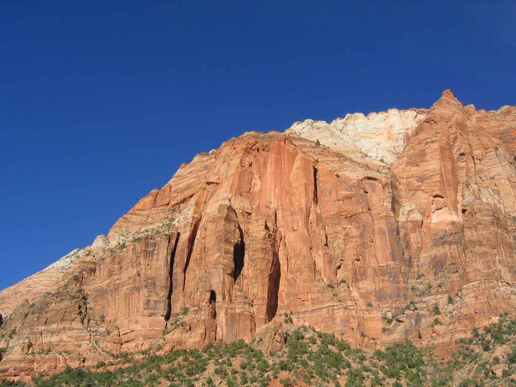
The White Cliffs rise to the south of SR 9 and parallel Clear Creek.
10/26/03

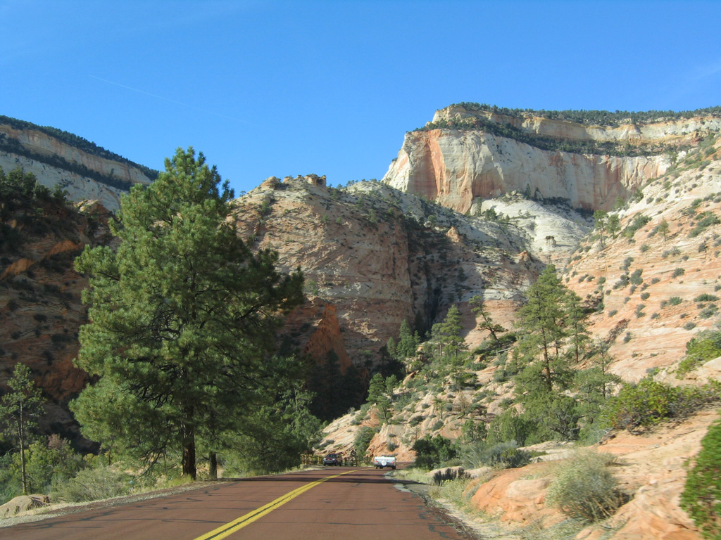
Continuing west along Zion-Mount Carmel Highway in Zion N.P.
10/26/03

The first tunnel in Zion along westbound Zion-Mount Carmel Highway gives a preview of what's to come at the Zion-Mount Carmel Tunnel that passes under Bridge Mountain.
10/26/03
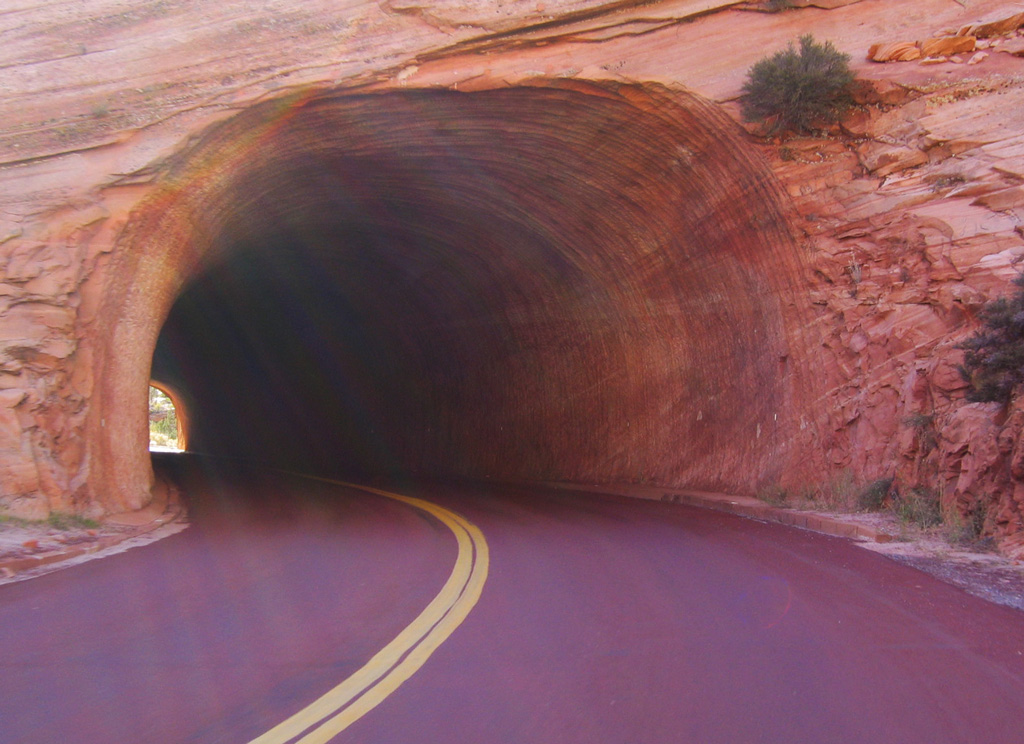
With the first tunnel along Zion-Mount Carmel Highway west, motorists can see end to end without difficulty. The same cannot be said for the curving Zion-Mount Carmel Tunnel.
10/26/03
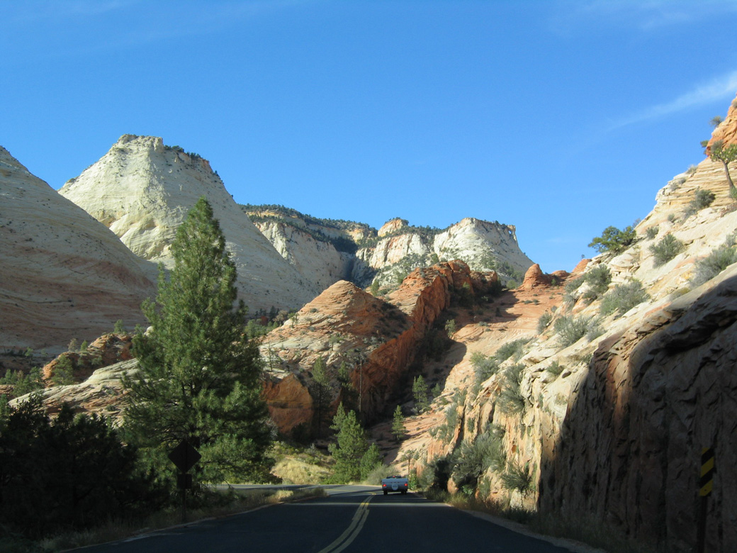
The Zion-Mount Carmel Highway (SR 9) advances west to Bridge Mountain, under which the highway will pass to reach the Zion Narrows.
10/26/03
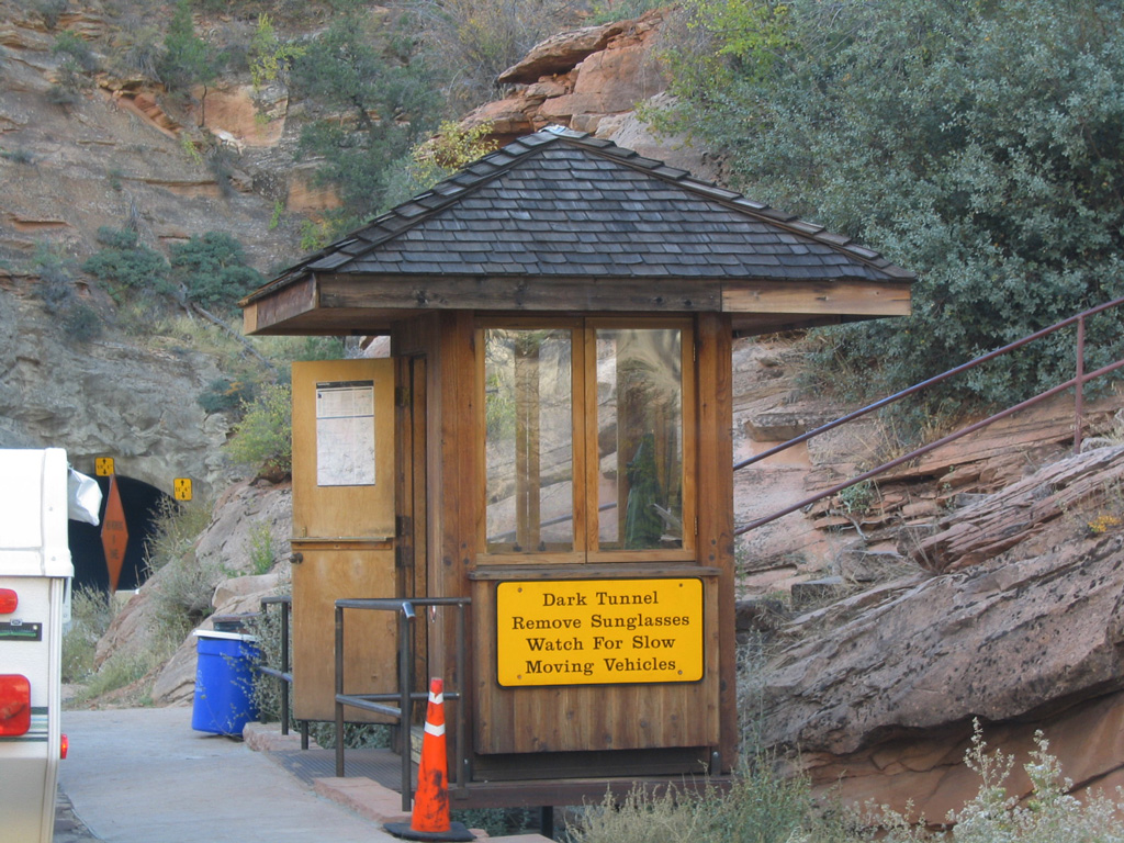
This guard station preceding the Zion-Mount Carmel Tunnel was replaced after 2003.
10/26/03
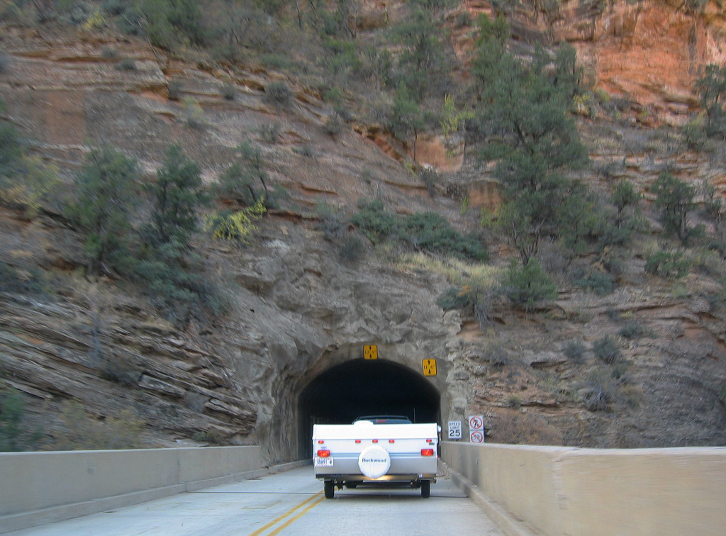
The Zion-Mount Carmel Tunnel was constructed in the 1920s. It was designed with no interior lights, occasional glimpses to the valley below through open vents, and a narrow width since it was meant to accommodate the small vehicles from that era.
10/26/03
Leaving the Zion-Mount Carmel Tunnel westbound. Vehicles sized 7'10" in width or 11'4" in height, or larger, must have an escort through the tunnel.
10/26/03
West from the Zion-Mount Carmel Tunnel, Zion-Mount Carmel Highway lowers 1,000 feet in elevation through a series of switchbacks to Zion Canyon.
10/26/03
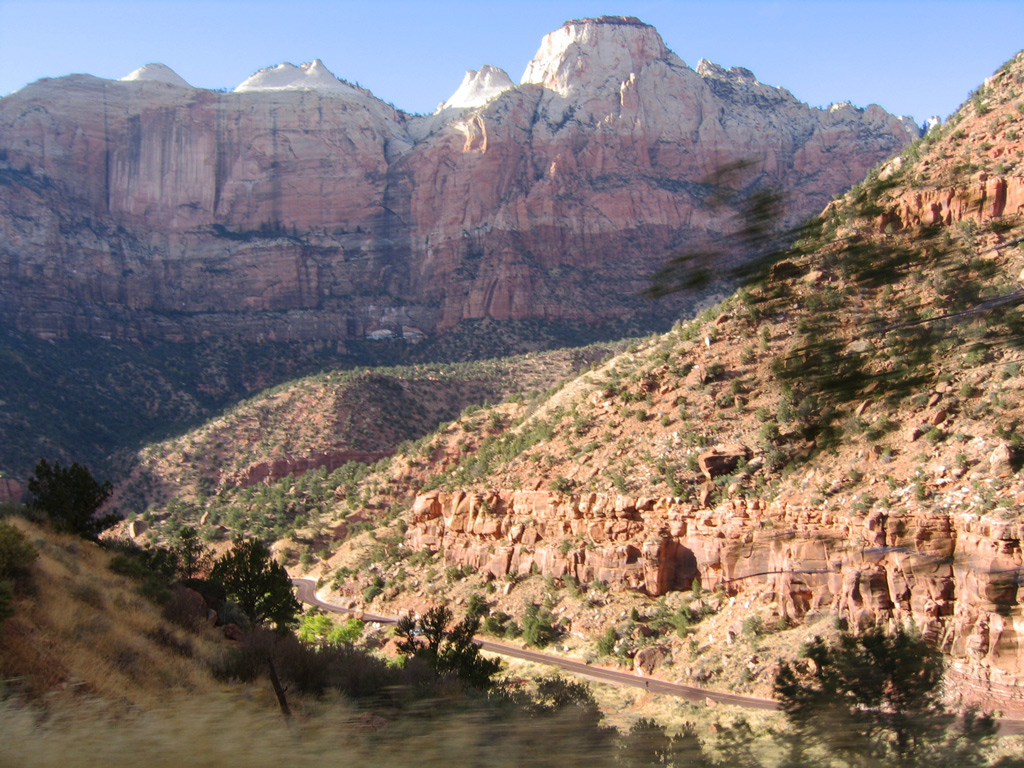
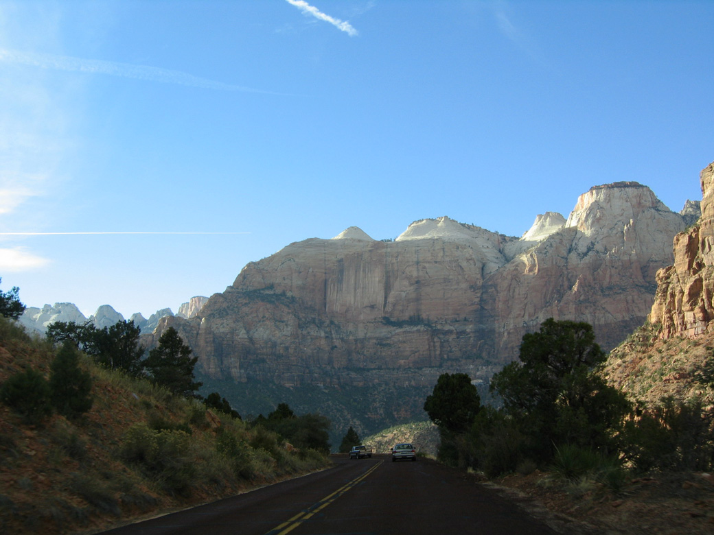
Continuing to the floor of the valley, Zion-Mount Carmel Highway passes by some magnificent vistas of the rock formations that line the surrounding mountains.
10/26/03
The Sentinel and Bee Hive Peak rise west of Zion Canyon and the North Fork of the Virgin River.
10/26/03
Zion-Mount Carmel Highway crosses Pine Creek to the south of Mount Spry and turns west to Zion Canyon Scenic Drive.
10/26/03
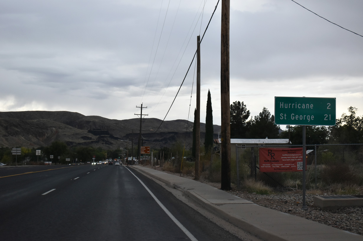
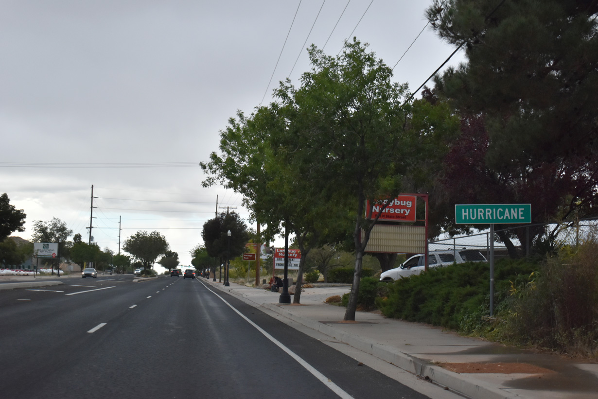
SR 9 travels south from the end of SR 17 in La Verkin along State Street two miles to Hurricane across the Virgin River.
10/23/25
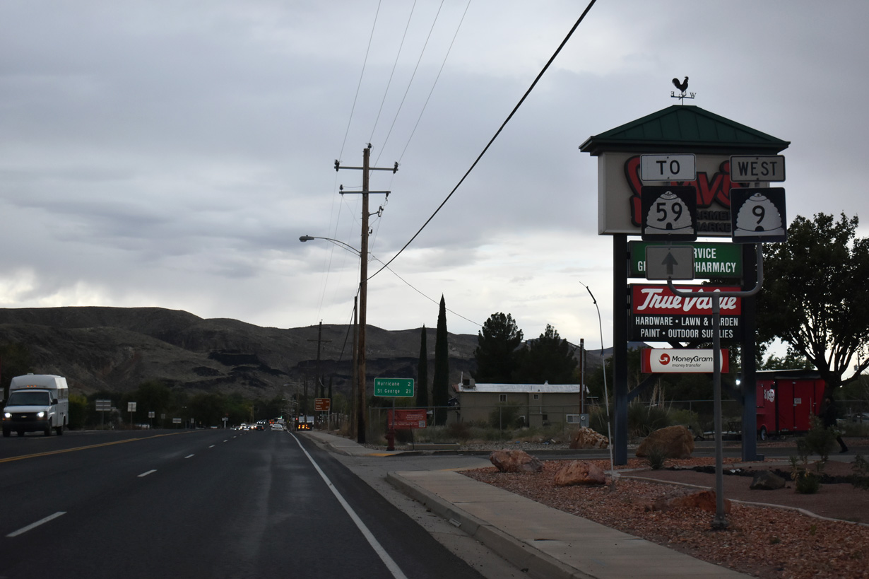
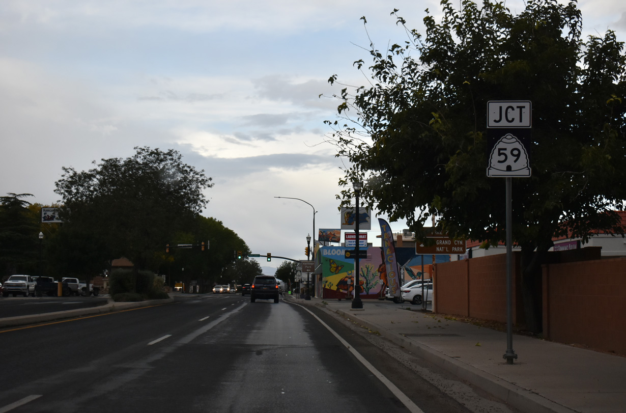
SR 59 leaves SR 9 two miles ahead in downtown Hurricane for the Arizona border.
10/23/25
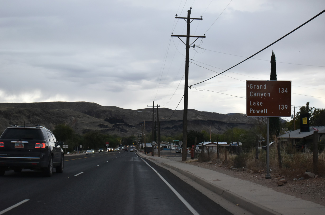
SR 59, in conjunction with AZ 389 and U.S. 89A, connects with Grand Canyon National Park and Lake Powell.
10/23/25
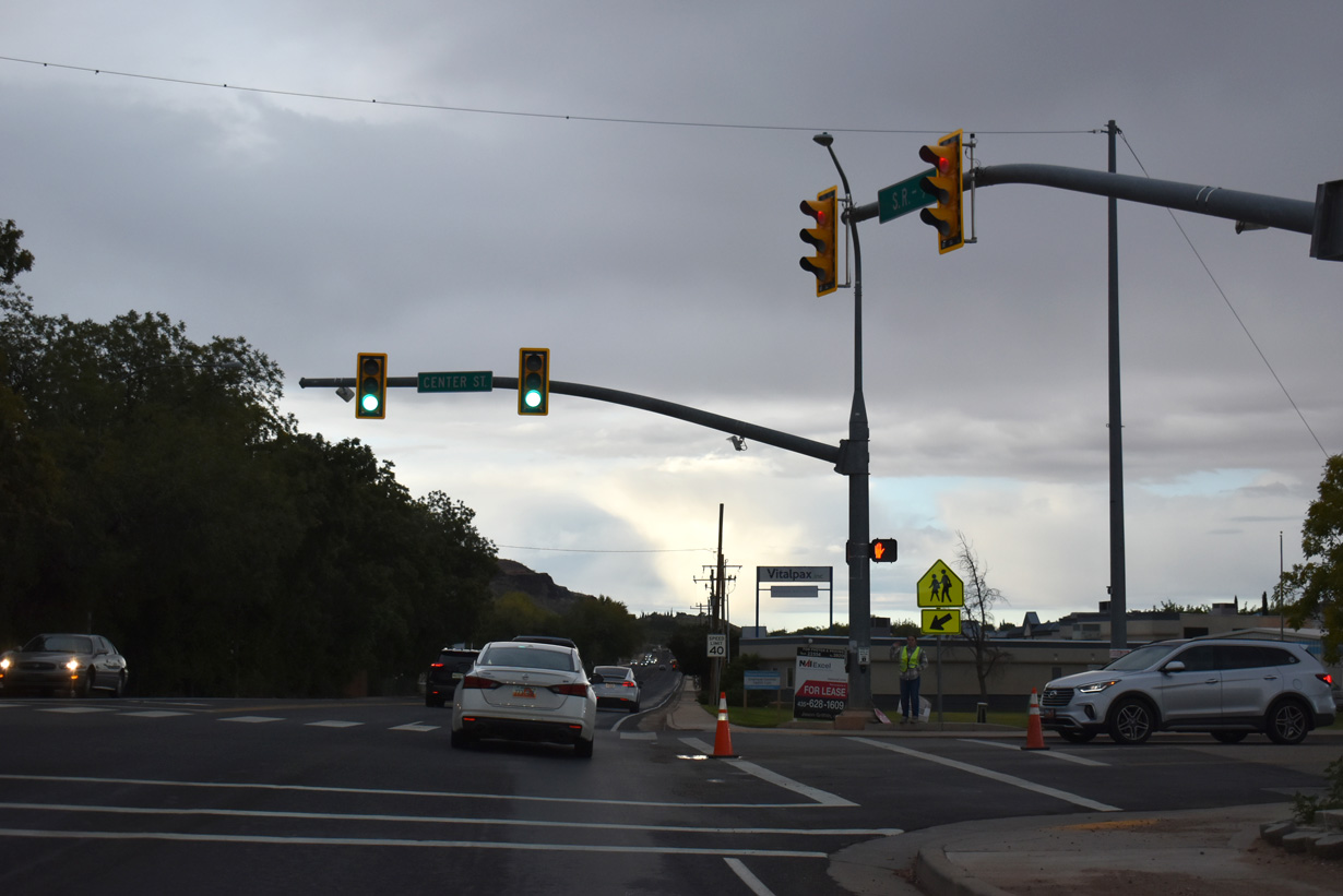
S State Street angles southwest at Center Street.
10/23/25
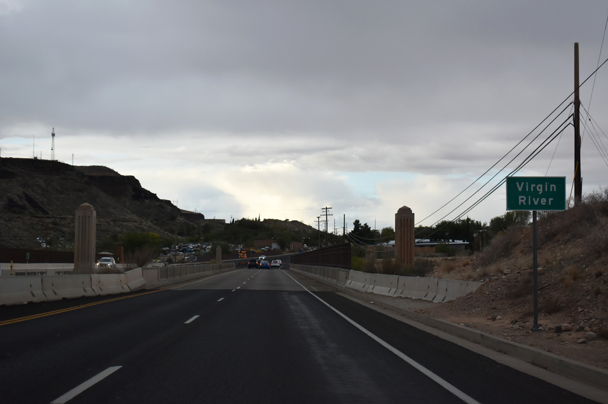
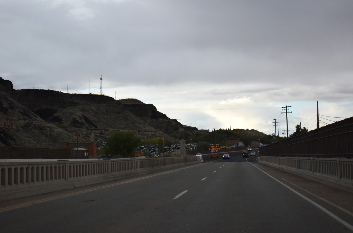
Leaving La Verkin, westbound SR 9 crosses the Virgin River on a 1937 arch bridge.
10/23/25
A tributary of the Colorado River, the Virgin River originates near Zion National Park, winding southwest nearly 162 miles through southern Utah, northwest Arizona and southeastern Nevada before entering Lake Mead.
10/23/25
SR 9 (N State Street) enters Hurricane south of E 800 North.
10/23/25
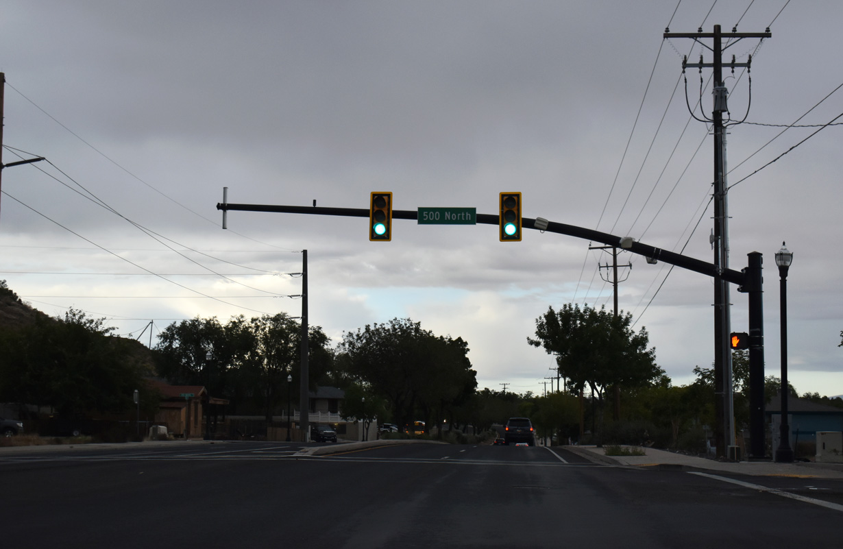
E 500 North ties N State Street with 600 North which leads west across the northern limits of Hurricane.
10/23/25
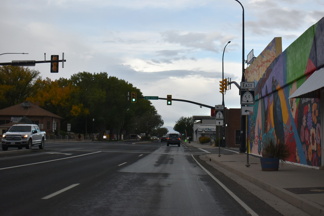
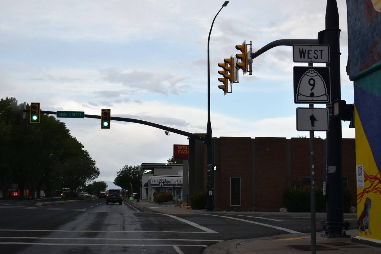
Curving west, SR 9 (E State Street) meets SR 59 ahead at Main Street.
10/23/25
SR 59 leads southeast from Hurricane to Apple Valley before entering the Grand Canyon State as Arizona State Route 389 at Colorado City.
10/23/25
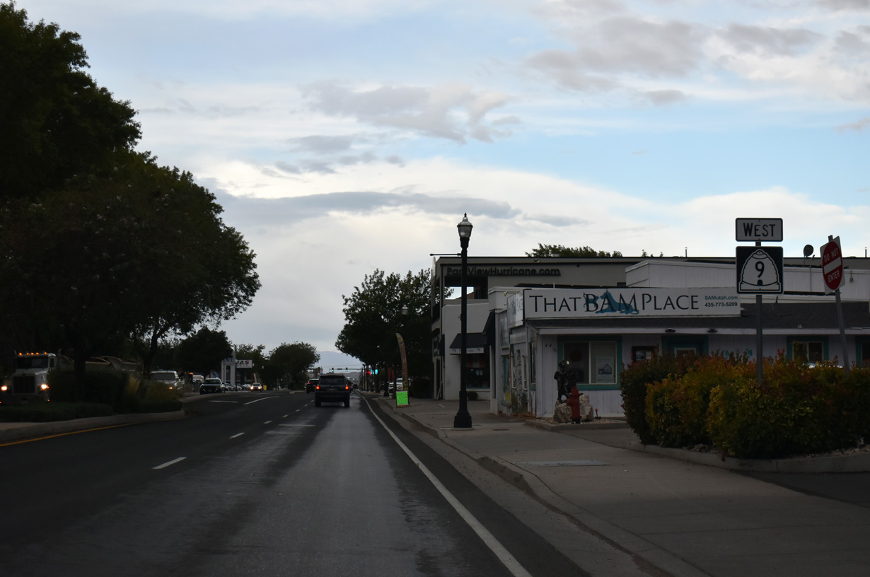
SR 9 continues west along W State Street and the Hurricane street grid.
10/23/25
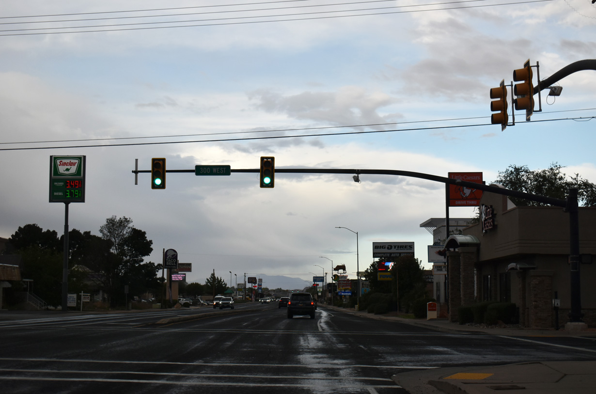
300 West travels north one block from W State Street to 100 North and south into residential areas of Hurricane.
10/23/25
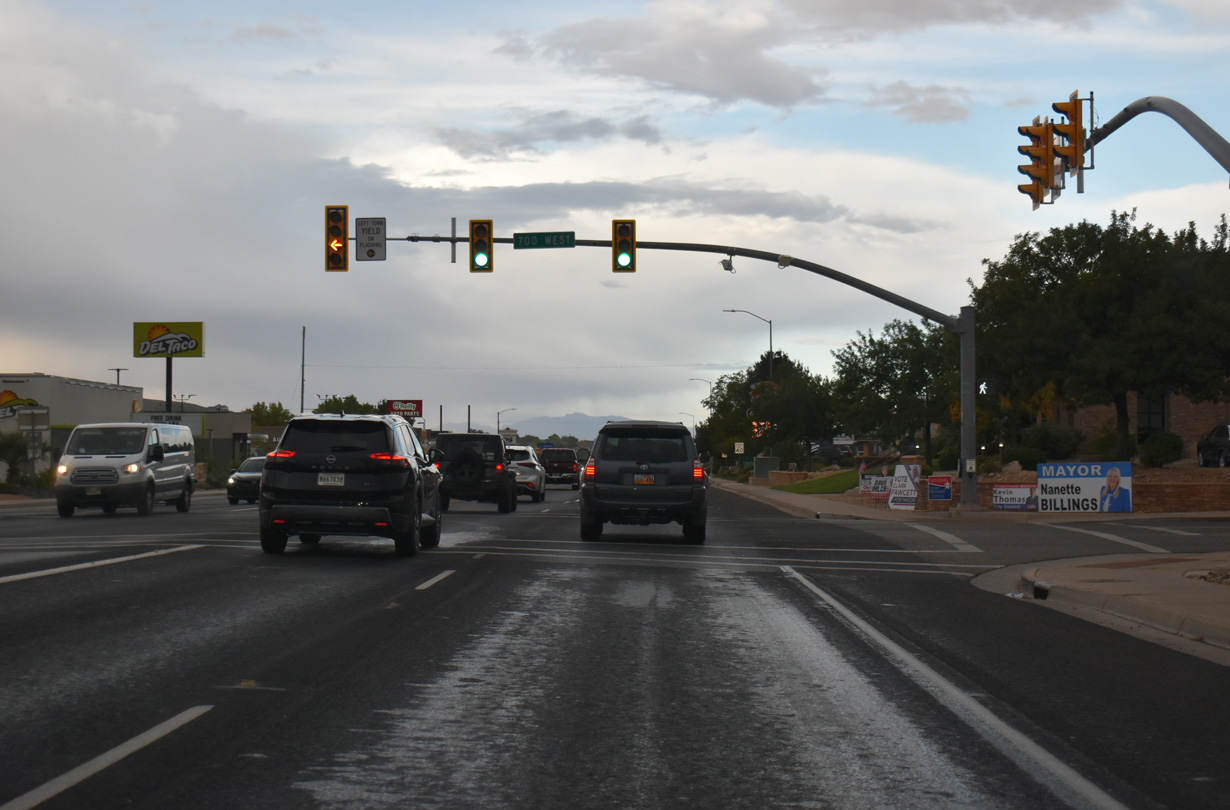
SR 9 meets 700 West at the next signalized intersection. Hurricane Municipal Airport (1L8) is located adjacent to the south end of 700 West 2.4 miles from State Street.
10/23/25
SR 9 west intersects 1150 West near the end of the commercialized district of Hurricane.
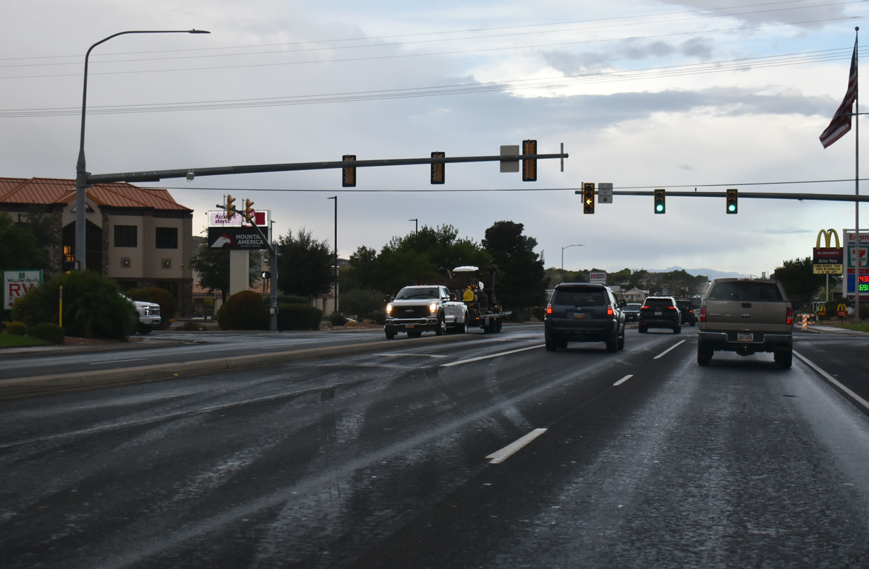
10/23/25
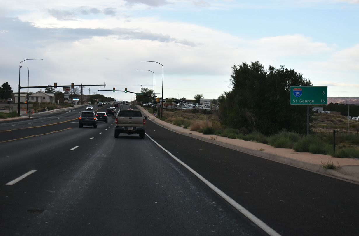
This distance sign stands ahead of Gould Wash eight miles east of a trumpet interchange with I-15 south to St. George and north to Cedar City.
10/23/25
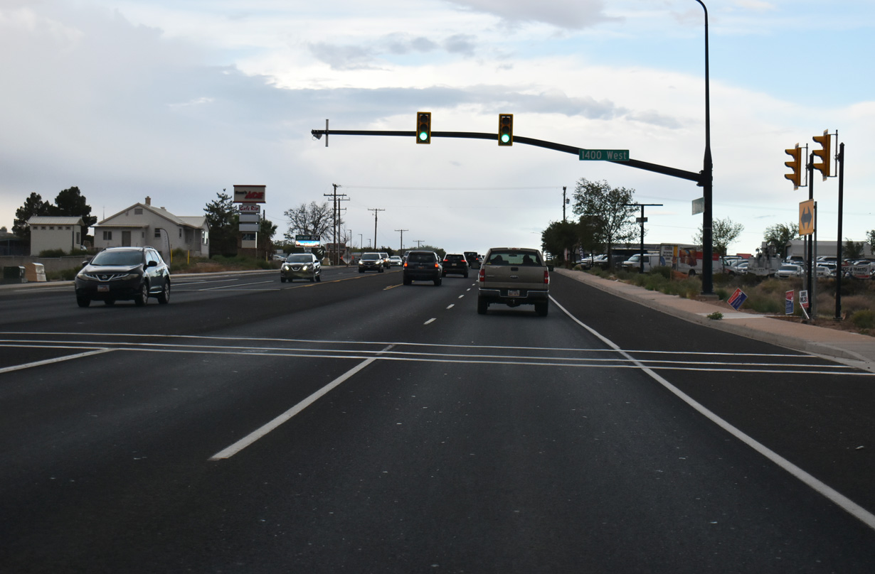
1400 West meets SR 9 (W State Street) at the crossing of Gould Wash.
10/23/25
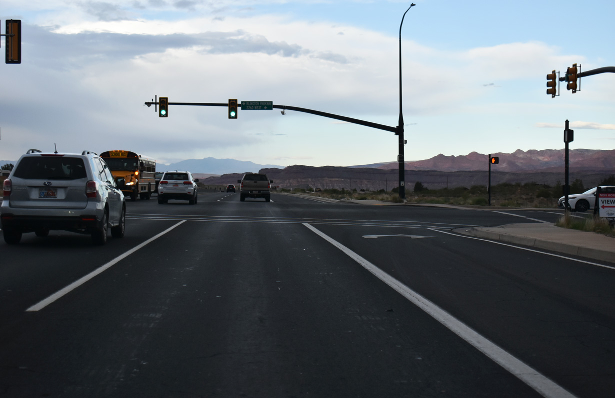
2260 West and Rlington Parkway come together at the next signal along westbound SR 9.
10/23/25
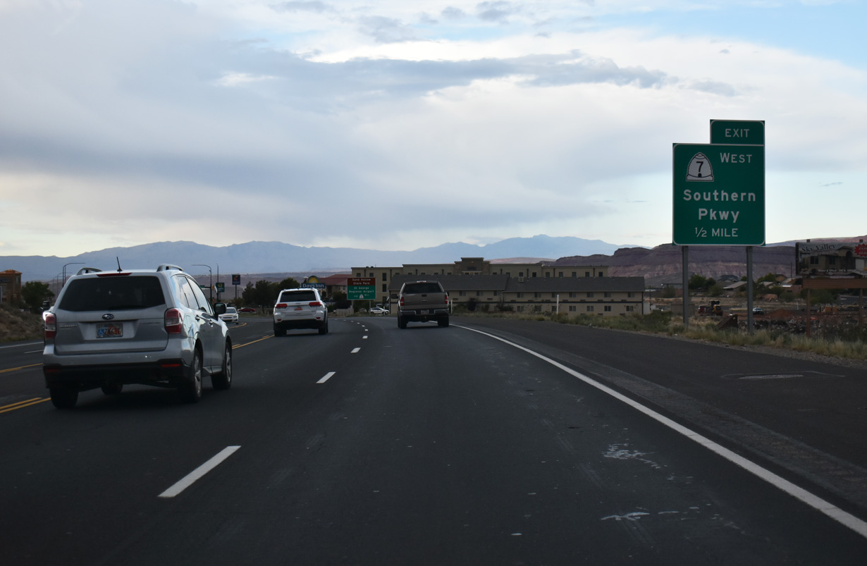
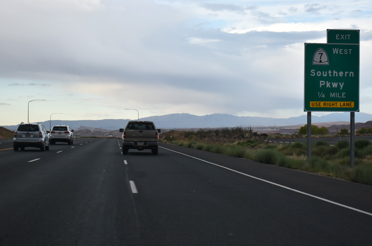
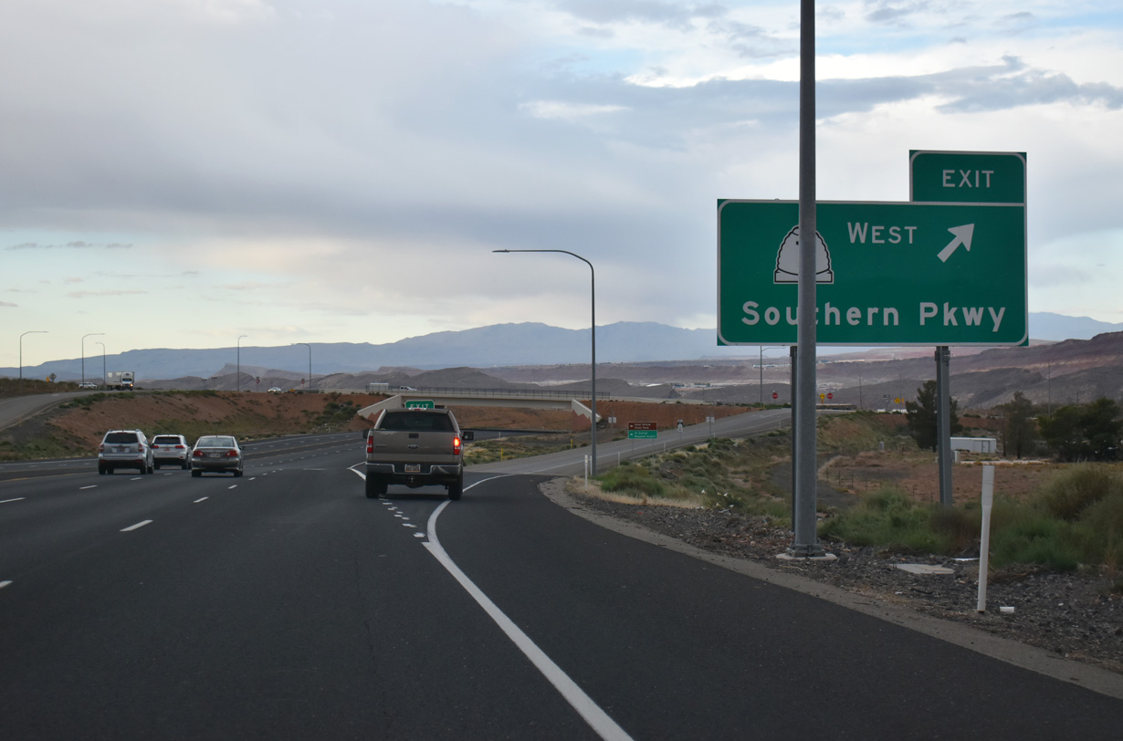
Southern Parkway serves as a bypass of Washington and St. George one half mile ahead. SR 7 travels along the entire length of Southern Parkway.
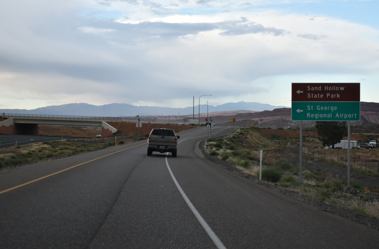
10/23/25
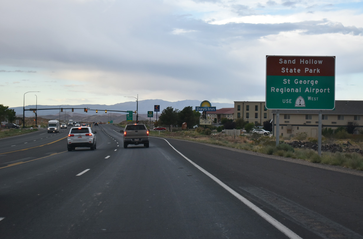
SR 7 west joins SR 9 (W State Street) with Sand Hollow State Park which encircles Sand Hallow Reservoir, and with St. George Regional Airport (SGU) located off Airport Parkway.
10/23/25
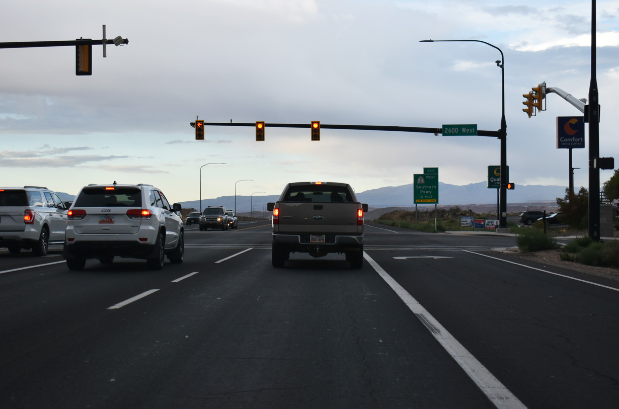
A signalized intersection with 2600 West precedes the diamond interchange with SR 7 west and 2800 West. 2600 West serves residential areas north and south of SR 9.
10/23/25
W State Street gains an auxiliary lane between 2600 West and the ramp to SR 7 west.
10/23/25
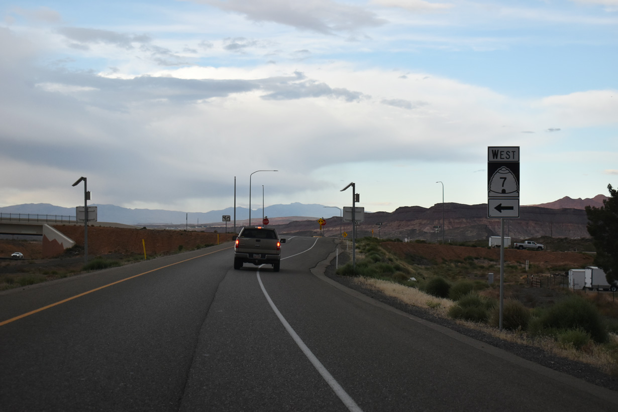
SR 7 (Southern Parkway) is a 26 mile limited-access route located generally to the east of both Washington and St. George. The west end of Southern Parkway ties into I-15 near the Arizona state line.
10/23/25
Southern Parkway is two lanes from the north end at SR 9 to Desert Canyons Parkway, south of SGU Airport. Sand Hollow Road joins SR 7 with Sand Hollow State Park at Exit 18.
10/23/25
Extended north by 2024, 2800 West travels 0.80 miles from the end of SR 7 to 600 North. SR 7 initially travels south to an interchange (Exit 22) with 3000 South before turning west toward Washington.
10/23/25
Photo Credits:
- Andy Field: 10/26/03
- ABRoads: 10/23/25
Connect with:
Page Updated Sunday November 09, 2025.