
State Route 63

Utah State Route 63 is a 2.63 mile long spur south from SR 12 at Tropic Junction to the main entrance of Bryce Canyon National Park. The state route follows Main Street through the town of Bryce Canyon City.
Main Park Road heads north from Fairyland Spur Road to leave Bryce Canyon National Park and become State Route 63.
10/25/03
SR 63 begins as Main Park Road passes the national park entry sign.
10/25/03
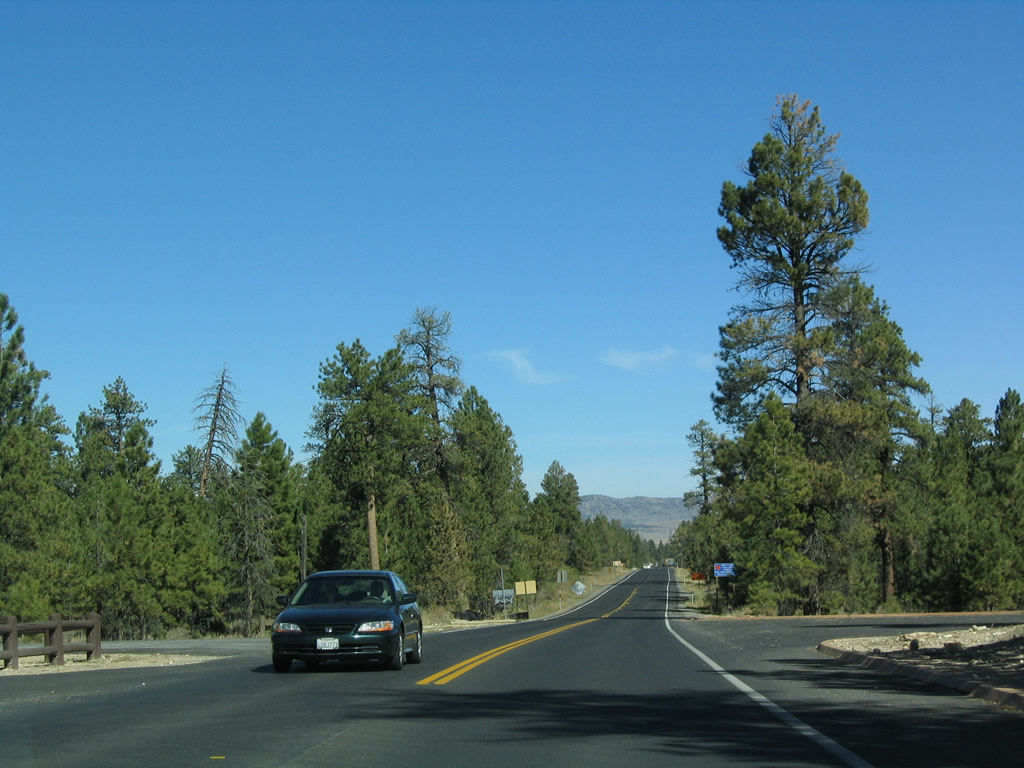
An array of services and lodging establishments line SR 63 (Main Street) north through the town of Bryce Canyon City. The highway expands to five overall lanes on the ensuing stretch.
10/25/03
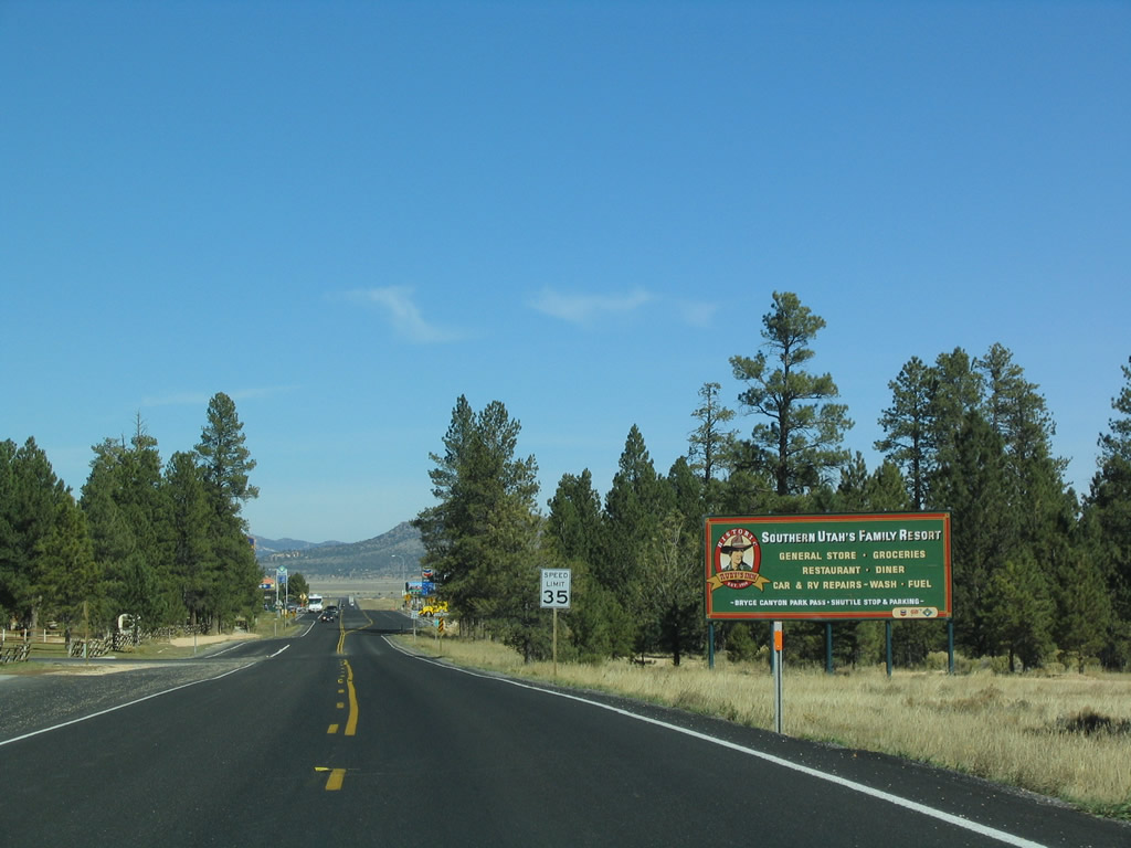
Advancing beyond the commercial area of Bryce Canyon City, SR 63 travels by Syrett Hollow on a rural stretch.
10/25/03
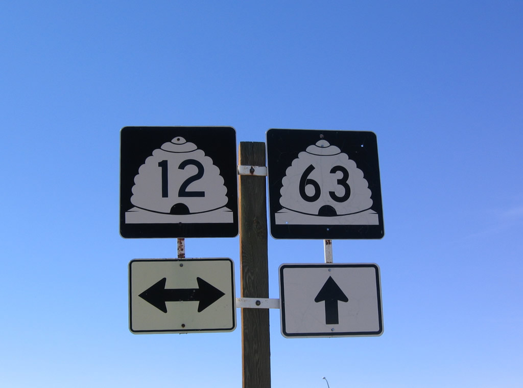
Northbound SR 63 approaching SR 12 and Johns Valley Road (CR 1660). The state route ends opposite County Route 1660 northeast toward Antimony.
10/25/03
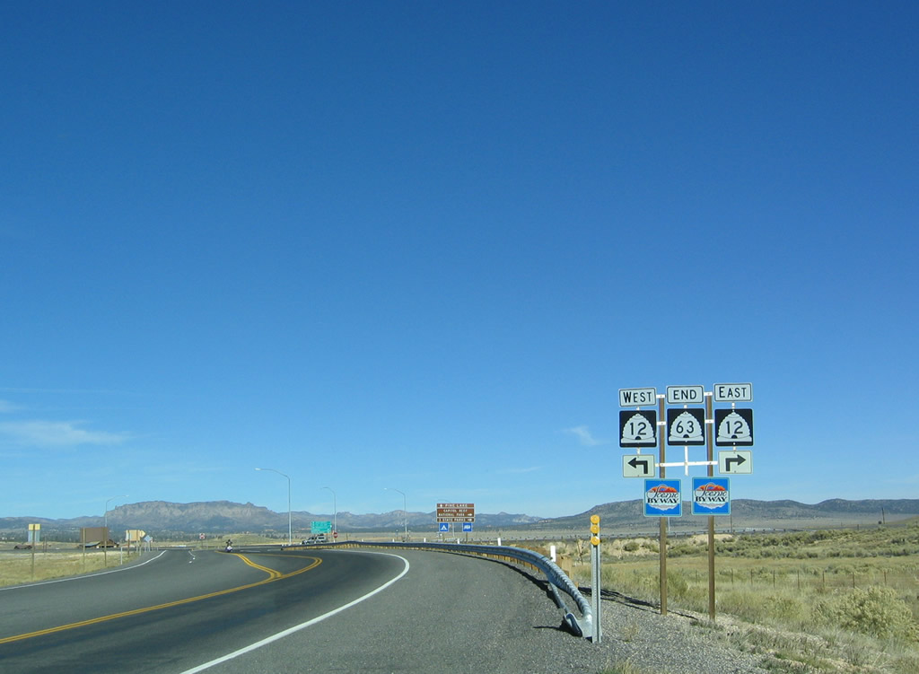
SR 12 constitutes a 122.86 mile loop west to U.S. 89 at Bryce Canyon Junction and northeast to SR 24 east of Torrey.
10/25/03
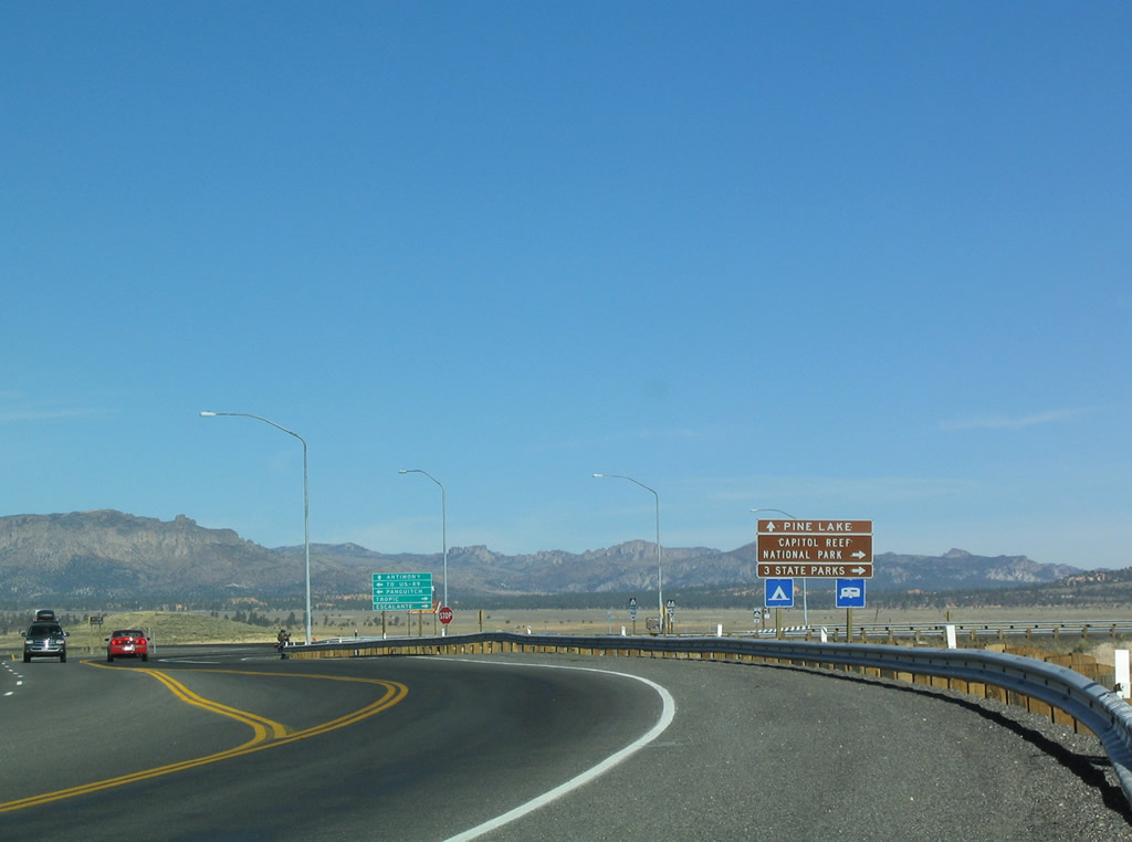
The first destination sign at the intersection references the three state parks of Kodachrome Basin Escalante Petrified Forest,and Anasazi Indian Village. Capitol Reef National Park and Grand Staircase-Escalante National Monument are also located along eastbound SR 12. Garfield County Route 1660 north leads to Pine Lake and Otter Creek Reservoir.
10/25/03
SR 12 travels 13.60 miles west from Tropic Junction to U.S. 89 near Panguitch. The scenic byway east heads to Tropic and Cannonville.
10/25/03
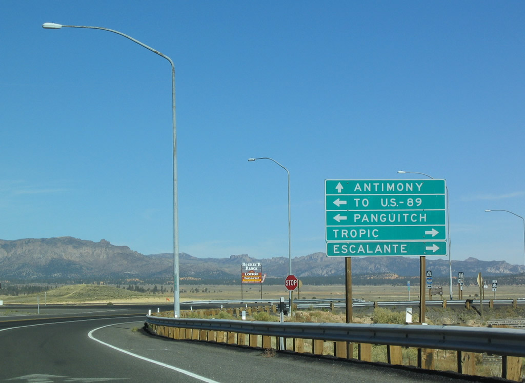
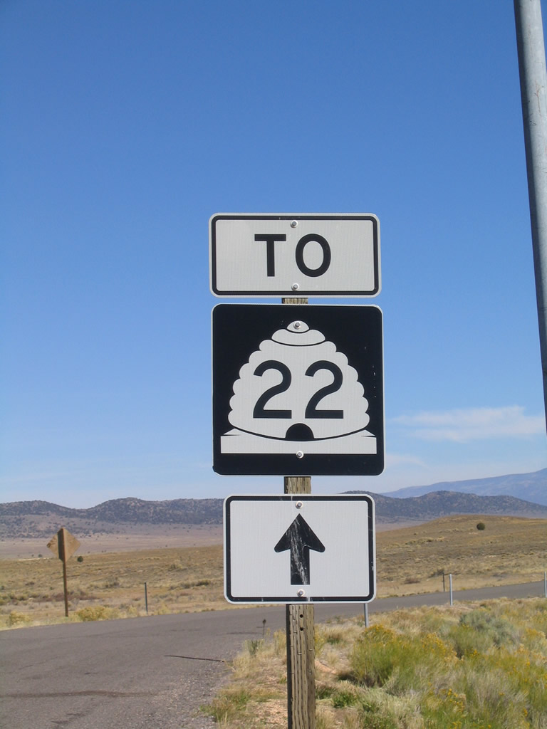
Johns Valley Road (CR 1660) meanders 37 miles north from SR 12/63 and Tropic Junction to the town of Antimony. SR 22 begins there and heads north to SR 62 at Otter Creek Reservoir.
10/25/03
 North
North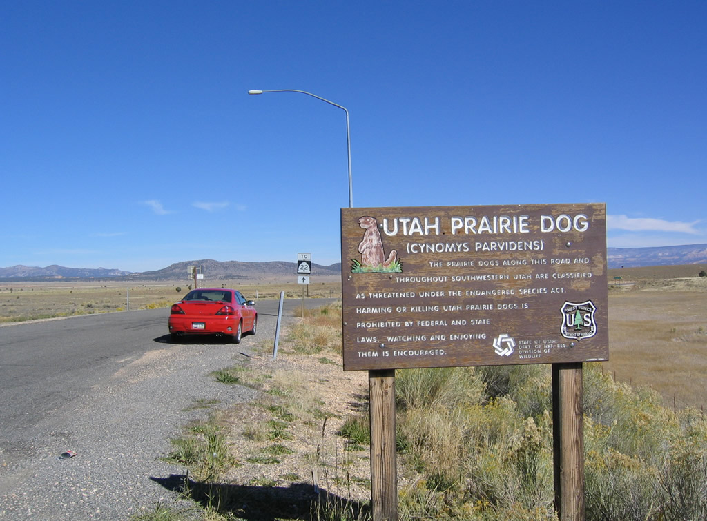
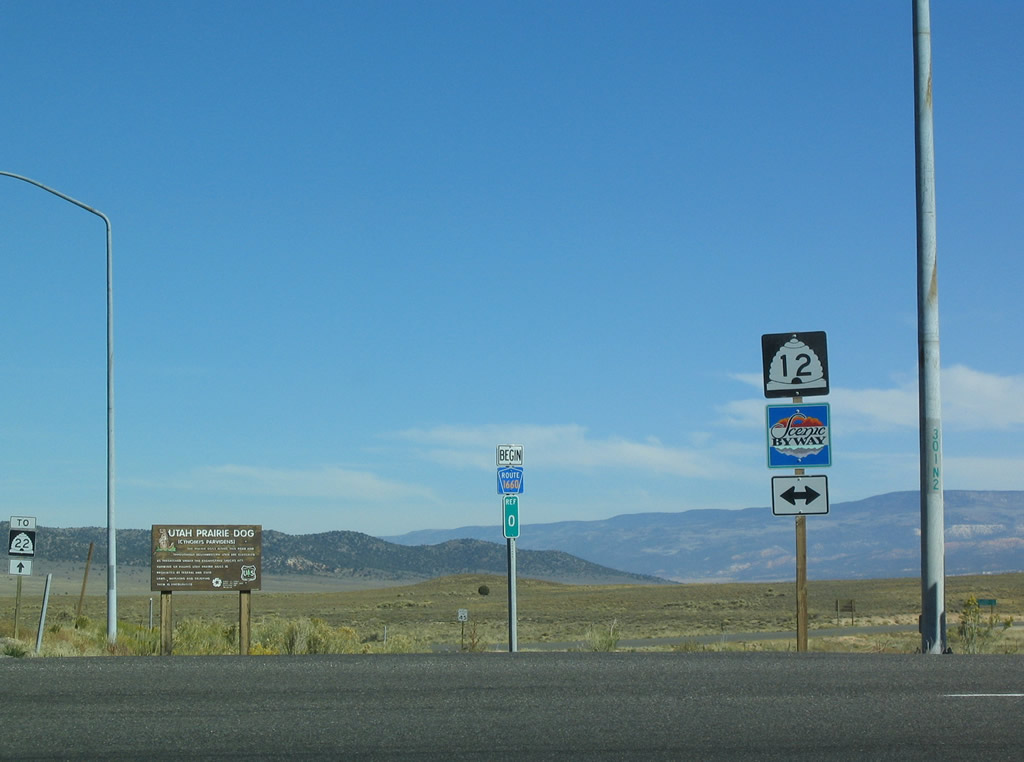
Prairie dogs are quite common in remote areas of Johns Valley and the Paunsaugunt Plateau to the northeast along CR 1660.
10/25/03
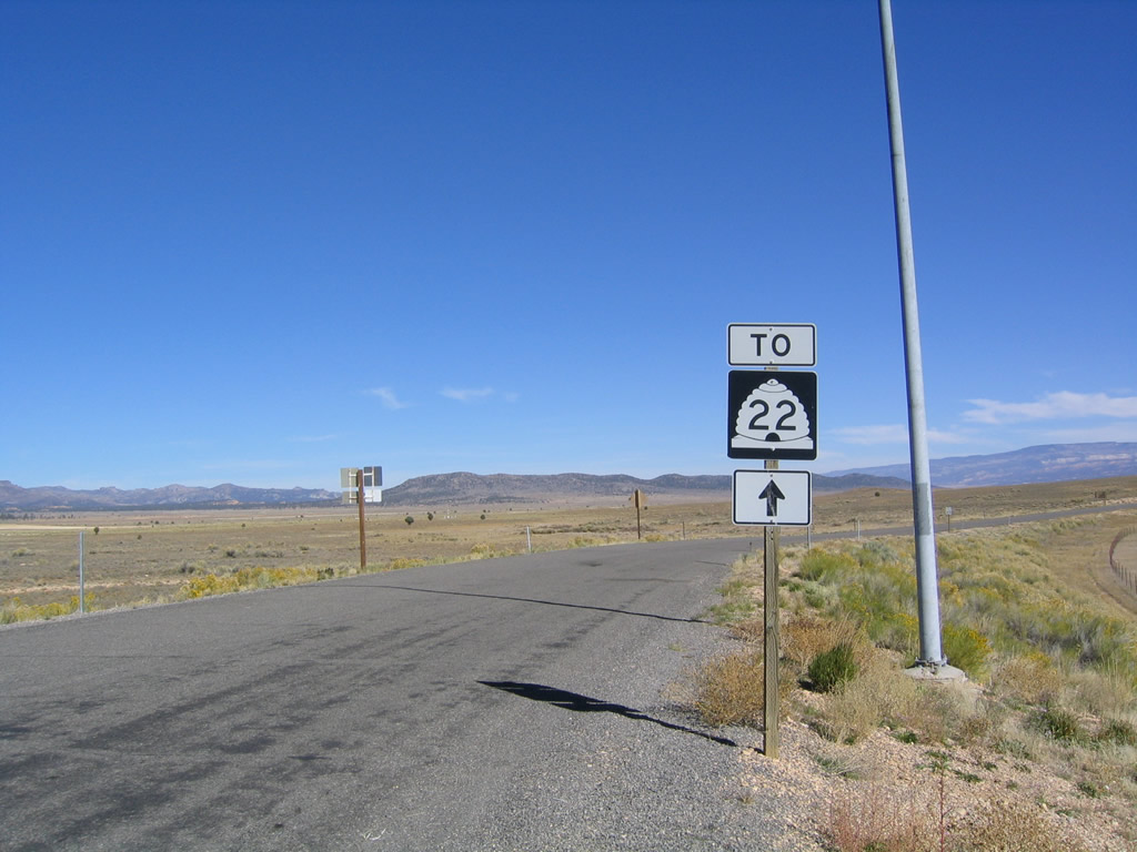
Johns Valley Road and Black Canyon Road venture 34.9 miles north from SR 12/63 at Tropic Junction to become SR 22 at Antimony. SR 22 extends 6.85 miles from there to SR 62.
10/25/03
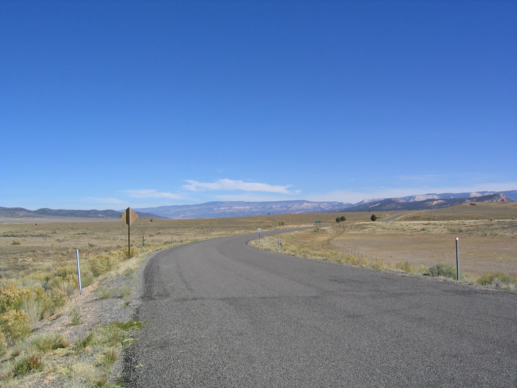
County Route 1660 angles northeast and parallels the East Fork of the Sevier River from near Bryce Canyon Airport (BCE) to the north end of Johns Valley.
10/25/03
South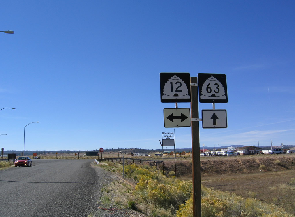
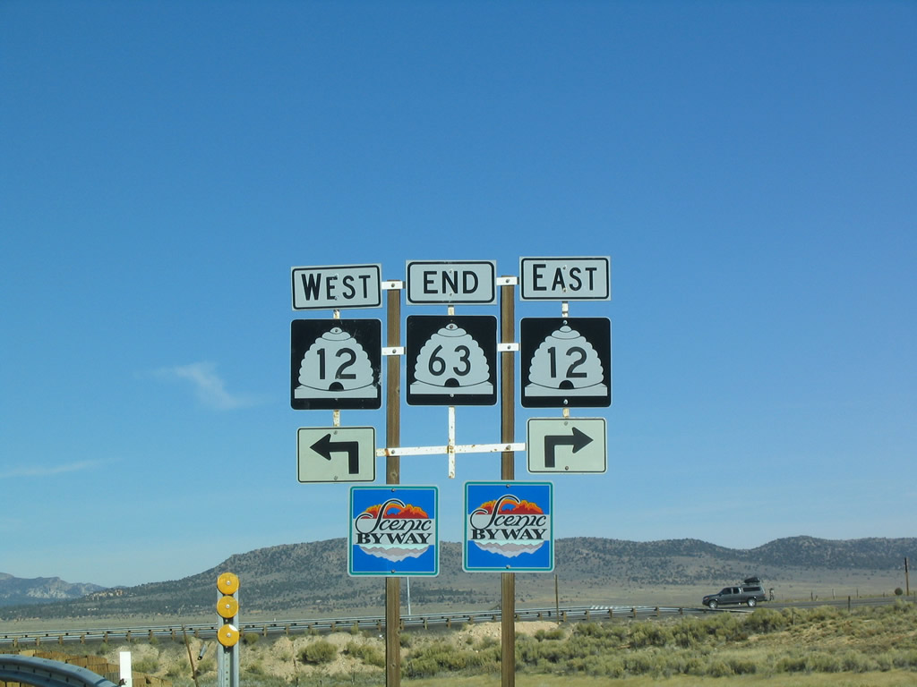
CR 1660 (Johns Valley Road) intersects the north end of SR 63 and SR 12 Scenic Byway at Tropic Junction.
10/25/03
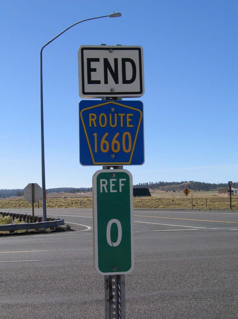
An end marker for County Route 1660 appears opposite the southbound beginning of SR 63 to Bryce Canyon City.
10/25/03
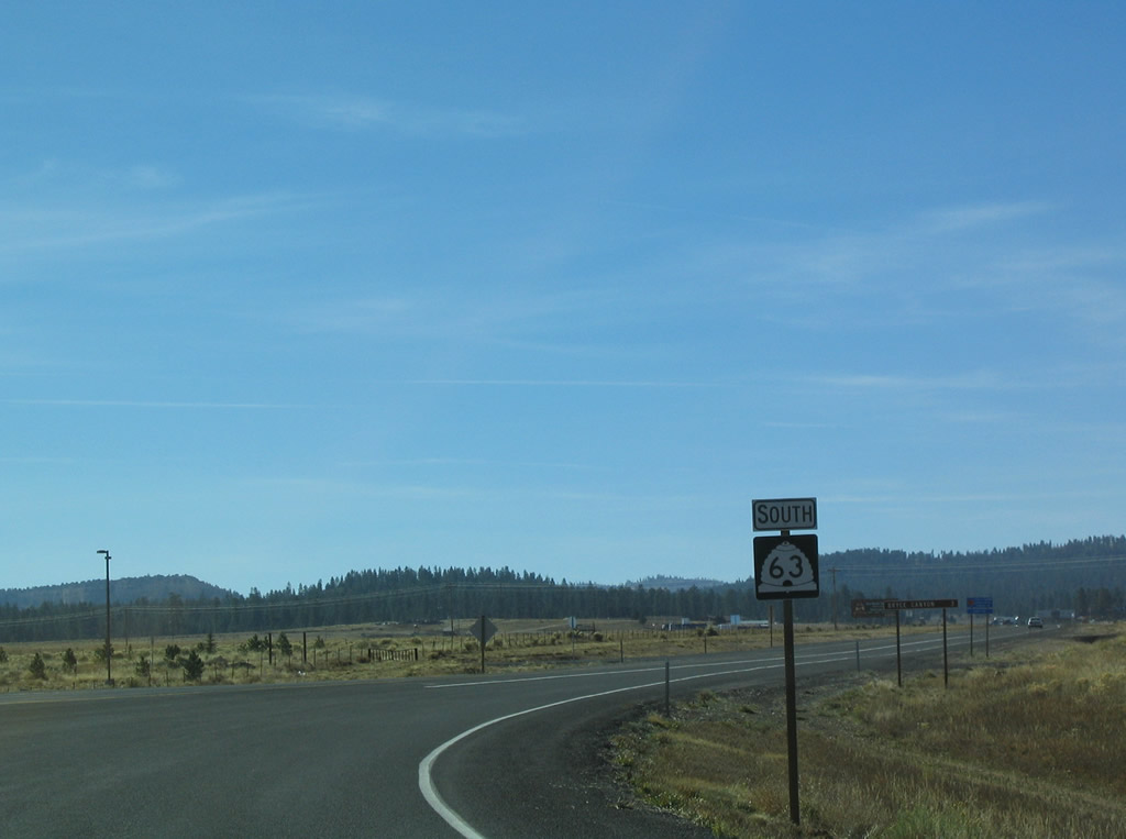
SR 63 begins and leads south from SR 12 and Johns Valley Road into the town of Bryce Canyon City.
10/25/03
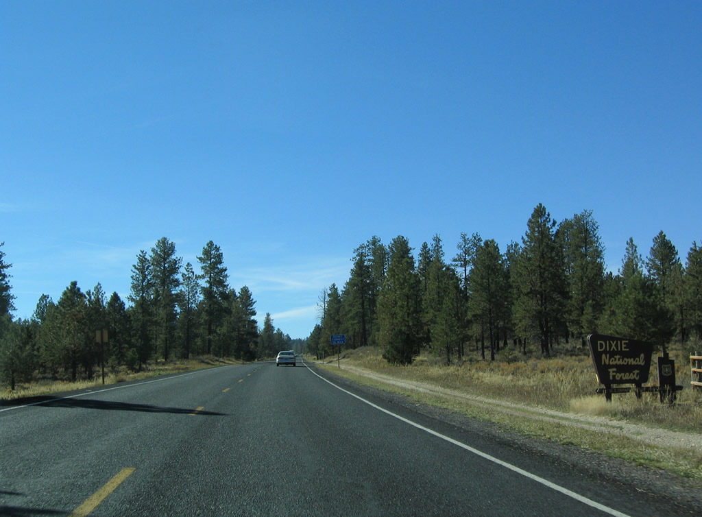
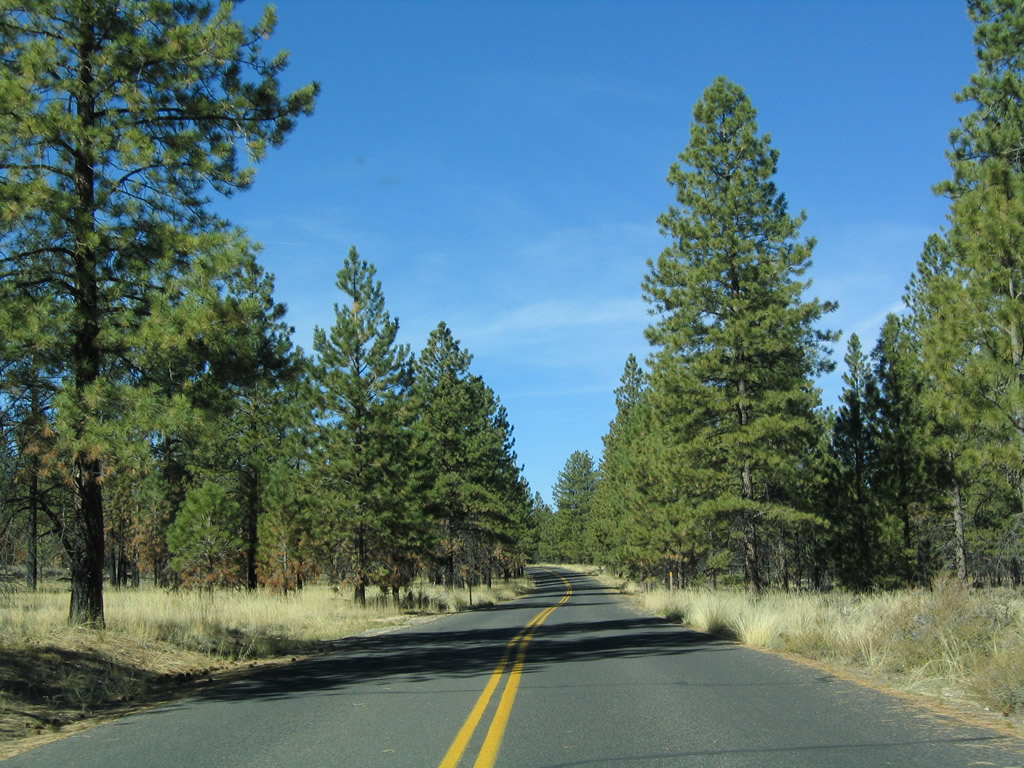
Main Street leads SR 63 south through Bryce Canyon City. Crossing the southern boundary of the town, the state route enters a portion of Dixie National Forest.
10/25/03
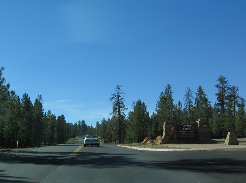
Less than a mile south of Bryce Canyon City, SR 63 ends at the entrance to Bryce Canyon National Park.
10/25/03
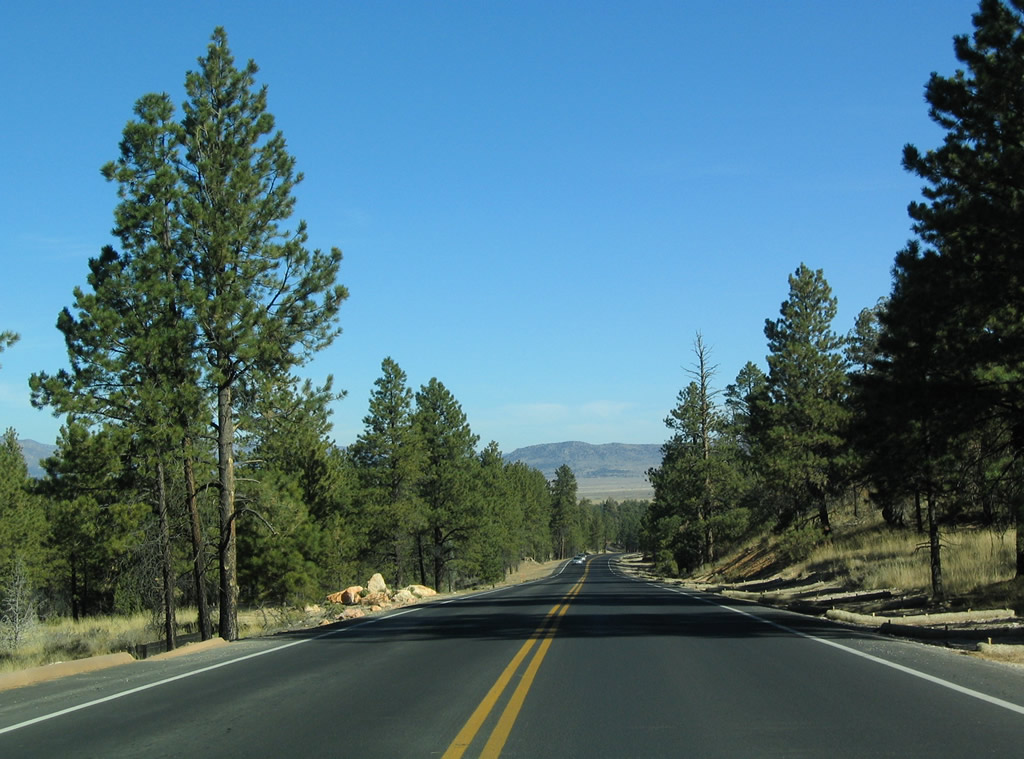
Continuing south along Main Park Road, motorists reach the Bryce Canyon National Park fee station and visitor center in one mile.
10/25/03
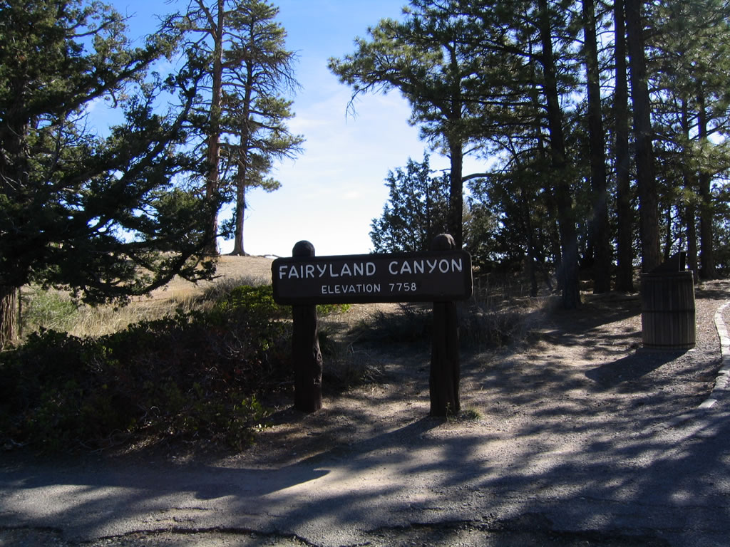
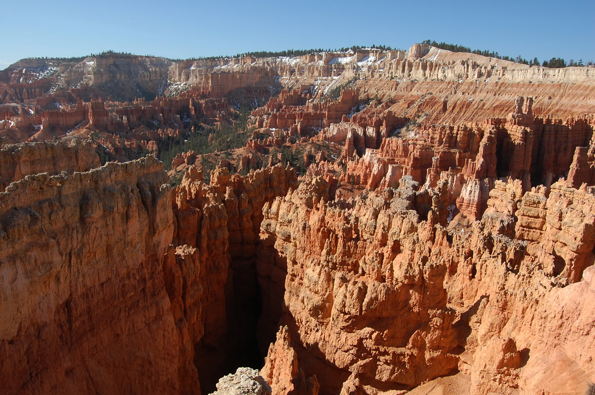
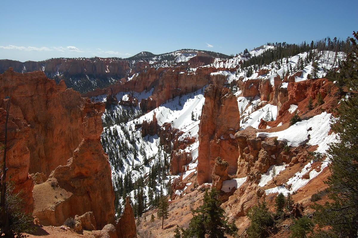
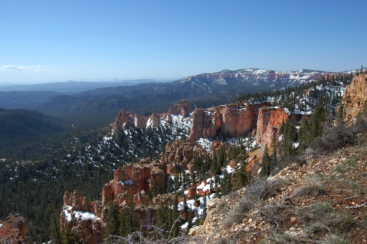
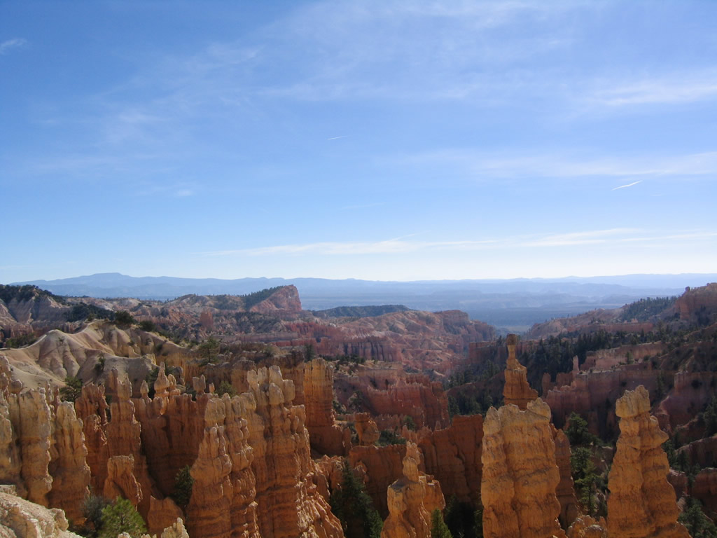
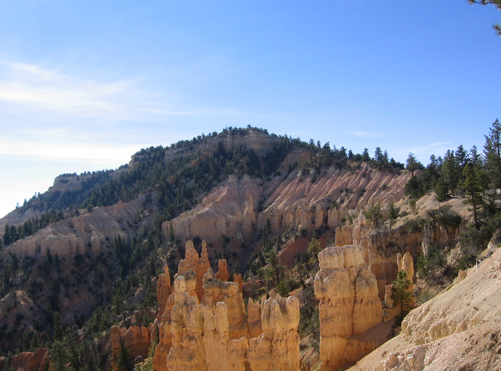
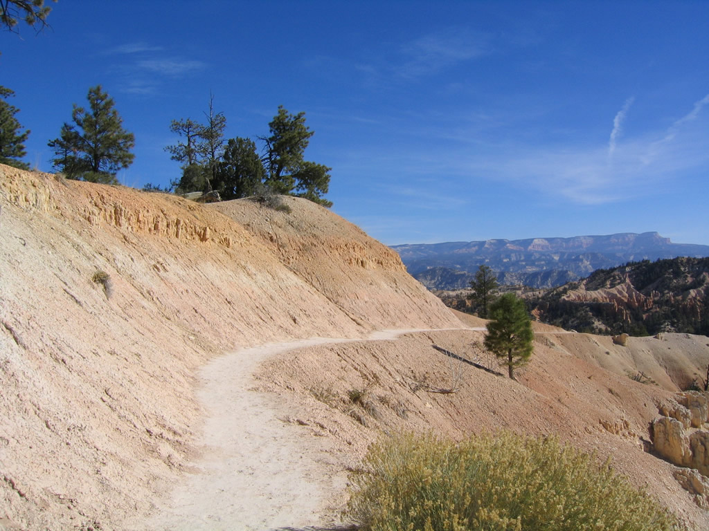
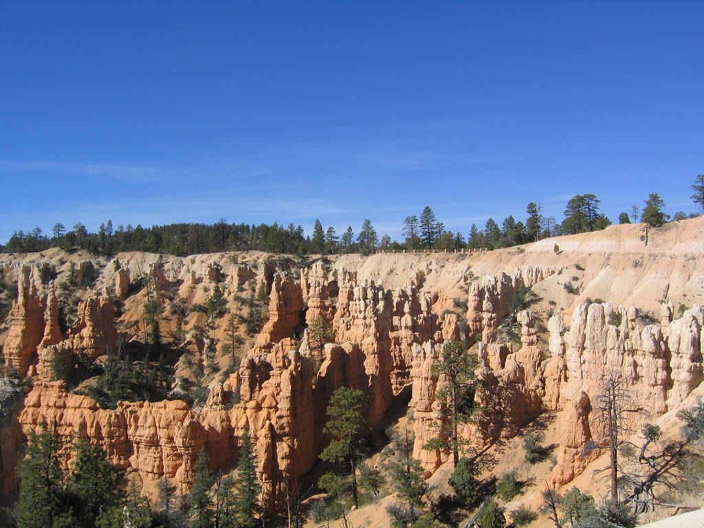
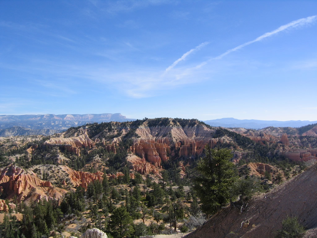
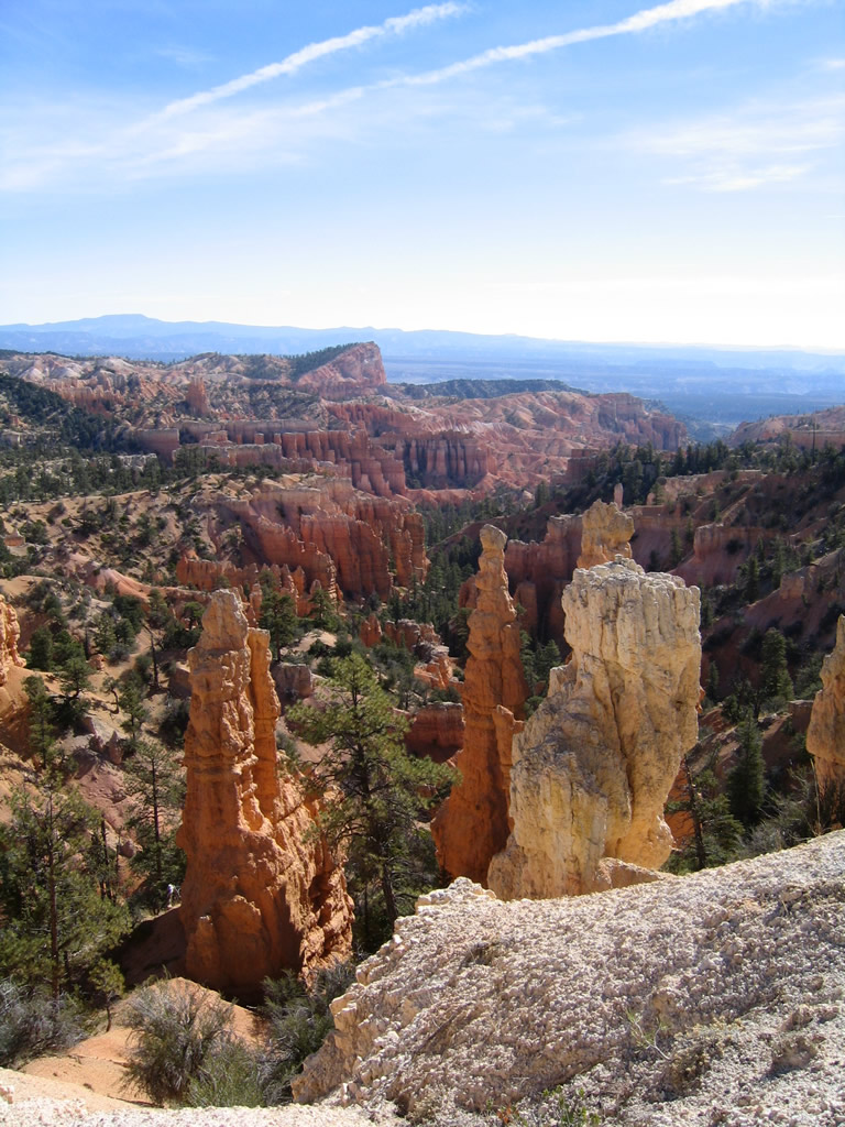
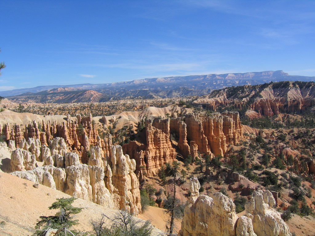
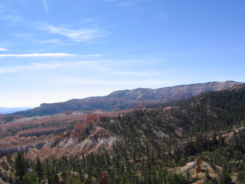
Fairyland Spur Road arcs east from Main Park Road ahead of the National Park fee station to the Fairyland Point overlook. This summit provides views of some stunning hoodoo rock formations and a view of Fairyland Canyon below the Pink Cliffs.
10/25/03
Photo Credits:
- Andy Field: 10/25/03
Connect with:
Page Updated Wednesday August 01, 2018.