
State Route 45
Virginia Route 45 travels a total of 39.72 miles, connecting the Prince Edward County seat of Farmville with SR 6 at George's Tavern in Goochland County. Commencing at High Street in downtown Farmville, SR 45 follows U.S. 15 Business (Main Street) north one block before the U.S. highway branch departs on W 3rd Street. The state route continues north along Main Street across the Appomattox River to Kimberly Hills.
Beyond Farmville, Cumberland Road advances SR 45 northeast along a rural course to U.S. 60 near Cumberland State Forest, where the two join for a 4.76 mile overlap through Cumberland. East of the Cumberland County seat, SR 45 leaves U.S. 60 along Cartersville Road on a 11.55 mile run to the community of Hamilton. Turning at Columbia Road (SR 690), State Route 45 doglegs east and north 2.2 miles to Cartersville near the James River. Crossing the James River into Goochland County, SR 45 proceeds through forested terrain 5.28 miles to conclude at SR 6, nearly midway between Columbia and Goochland.
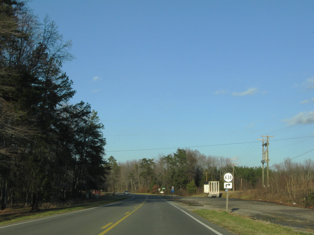
SR 45 (Cumberland Road) meets SR 638 (John Randolph Road) just north of Raines Tavern. SR 638 ventures east to Cotton Town and SR 600.
12/21/08
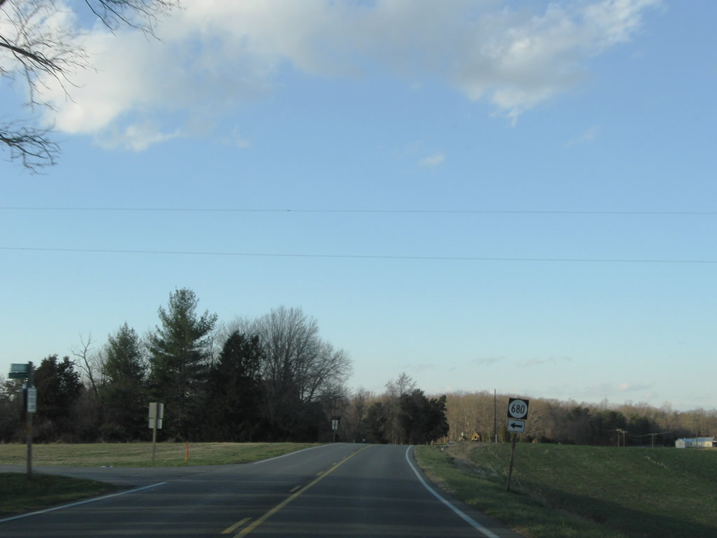
SR 680 (Coffeys Road) spurs west to farms by Brier Creek.
12/21/08
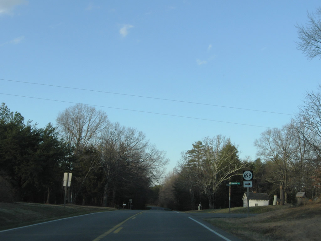
SR 699 (Thompson Road) spurs to a handful of residences and farms east of SR 45.
12/21/08
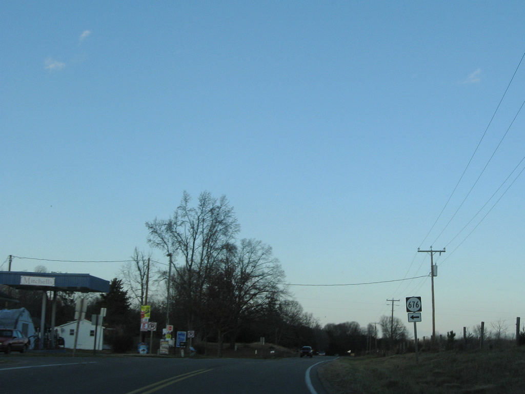
Curving northeast, SR 45 (Cumberland Road) meets SR 676 (Asal Road) northwest to Fork Swamp.
12/21/08
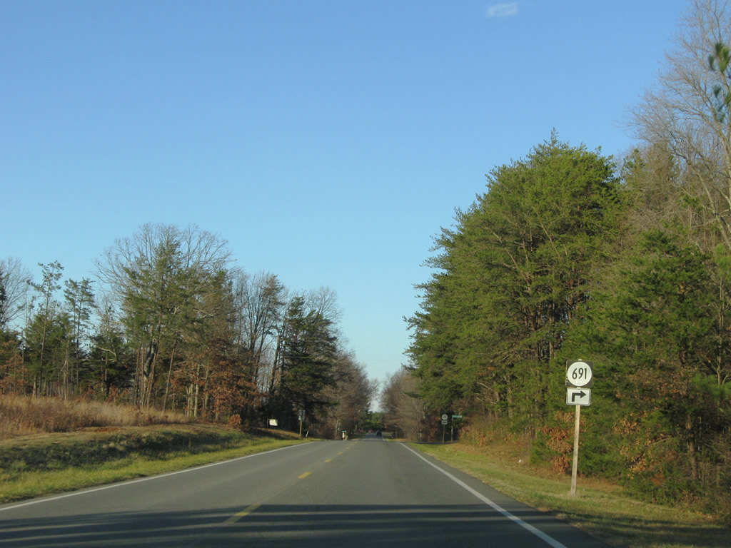
SR 45 passes north through Hawk ahead of SR 691 (Blanton Farm Road) southeast.
12/21/08
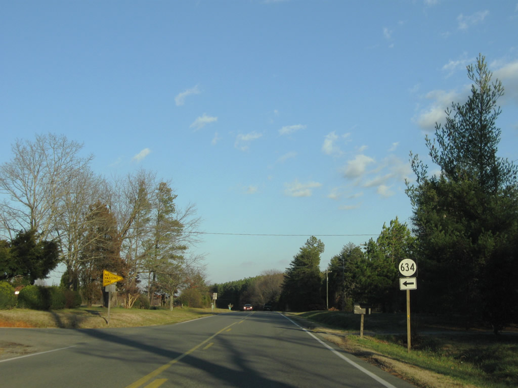
SR 634 (Salem Church Road) stems southeast from SR 632 to SR 45 (Cumberland Road) at Browns Store.
12/21/08
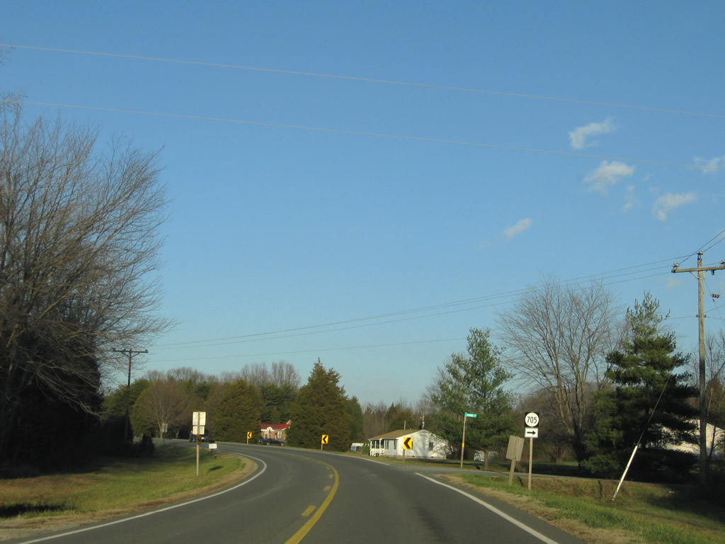
Stone Drive (SR 705) spurs east from SR 45 to a pair of farms.
12/21/08
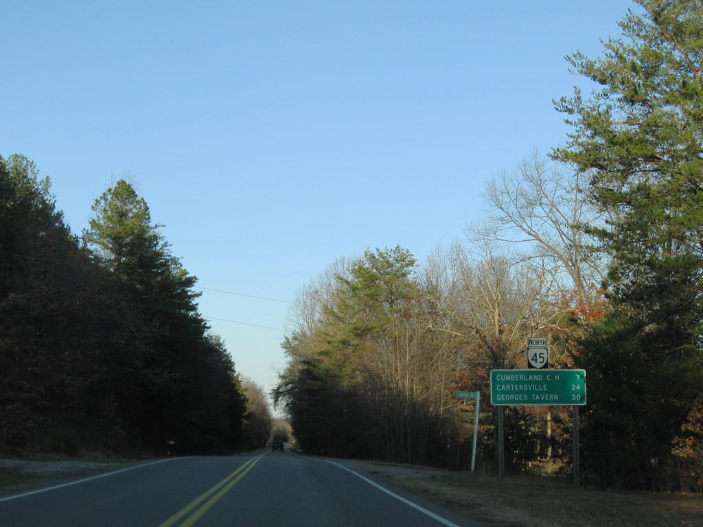
SR 45 meets Cumberland Court House with U.S. 60, seven miles north of Burton Drive, and concludes in 30 miles at SR 6 and Georges Tavern.
12/21/08
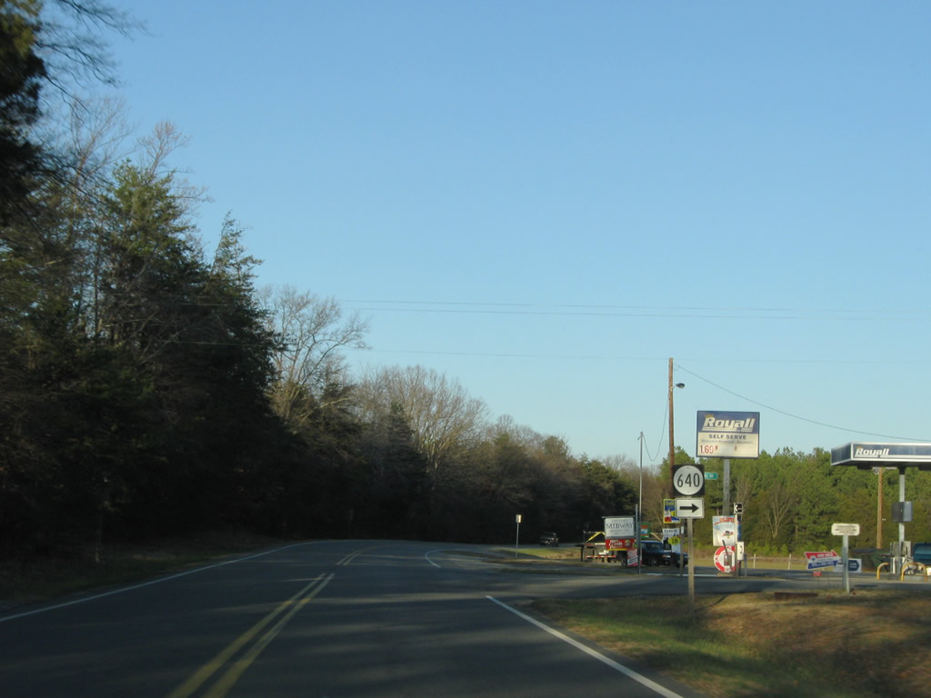
SR 640 (Holman Mill Road) meanders north from SR 638 (Guinea Road) to SR 45 near Guinea Mills.
12/21/08
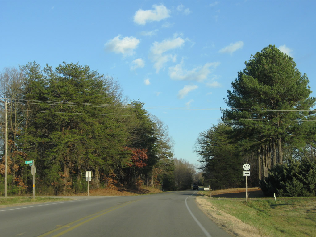
SR 633 follows Vogel Road northwest from SR 45 (Cumberland Road) to U.S. 60 (Anderson Highway) at Ca Ira.
12/21/08
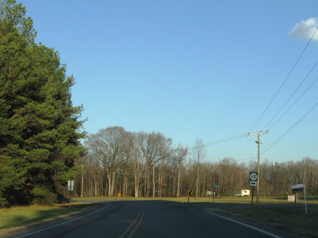
SR 631 (Davenport Road) stems east from SR 45 (Cumberland Road) at McRae to SR 600 north of Stony Point Mills.
12/21/08
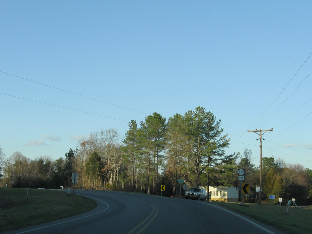
Tarwallet Road (SR 669) heads east from SR 45 to U.S. 60/SR 45 east of Hillcrest.
12/21/08

SR 670 (Wilson Russell Drive) provides a cutoff for U.S. 60 west to Sprouses Corner and Buckingham from SR 45 north.
12/21/08
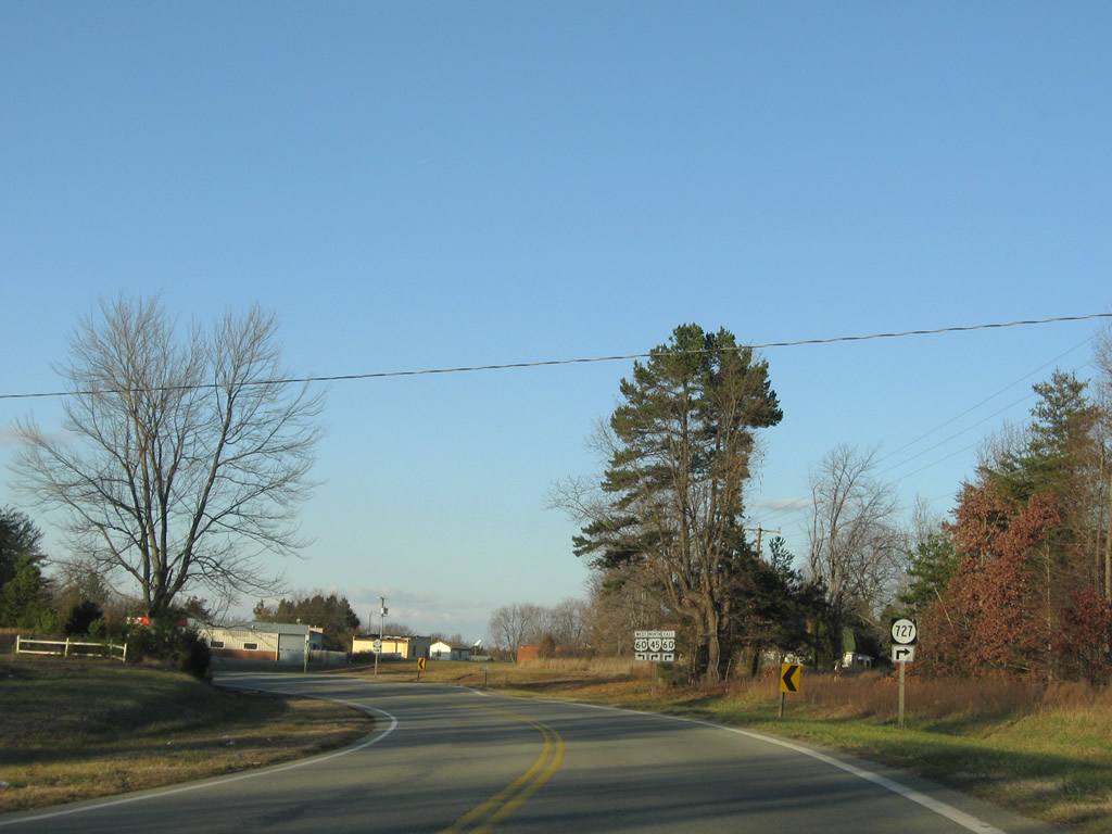
Approaching the merge with U.S. 60 east, SR 45 splits with SR 727 (Hillcrest Road), a former alignment of the state route.
12/21/08
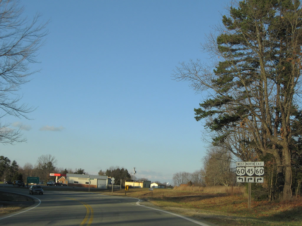
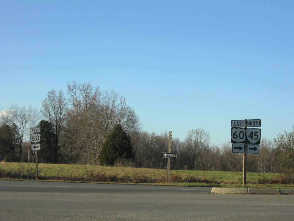
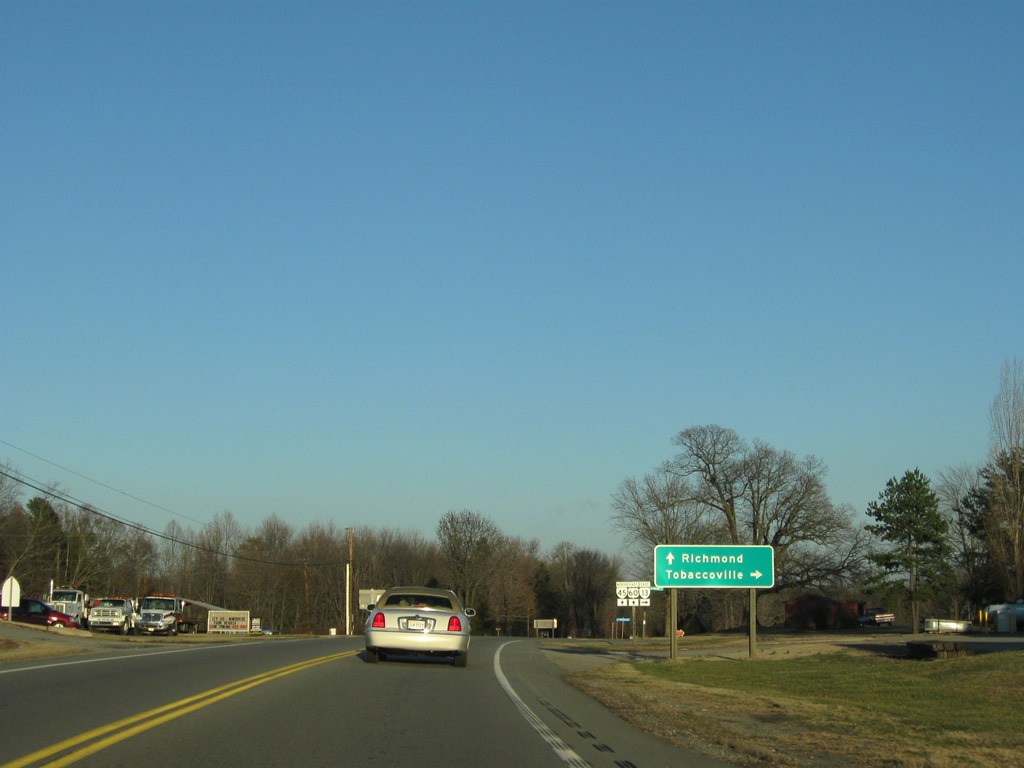
SR 45 joins U.S. 60 east for Cumberland Court House. U.S. 60 travels west 12 miles to U.S. 15 and Sprouses Corner.
12/21/08
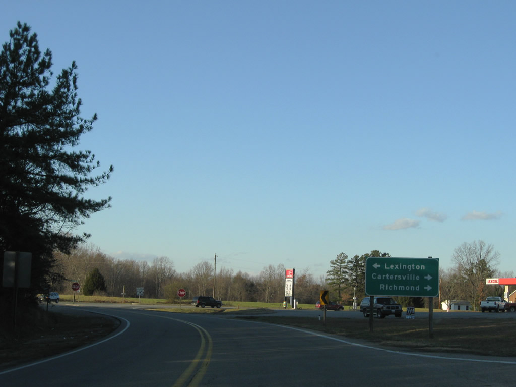
U.S. 60 joins Richmond with Lexington overall in central Virginia. Cartersville is the northbound destination for SR 45 beyond Cumberland Court House.
12/21/08
U.S. 60 (Anderson Highway) crosses the Old Dominion State along a 304 mile long course, entering the state near Callaghan and ending at Virginia Beach.
12/21/08
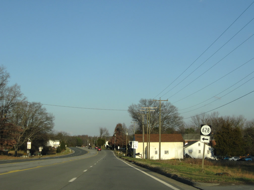
SR 628 (Forest View Road) stems north from U.S. 60/SR 45 (Anderson Highway) to SR 629 (Oak Hill Road) near Bear Creek Lake in Cumberland State Forest.
12/21/08
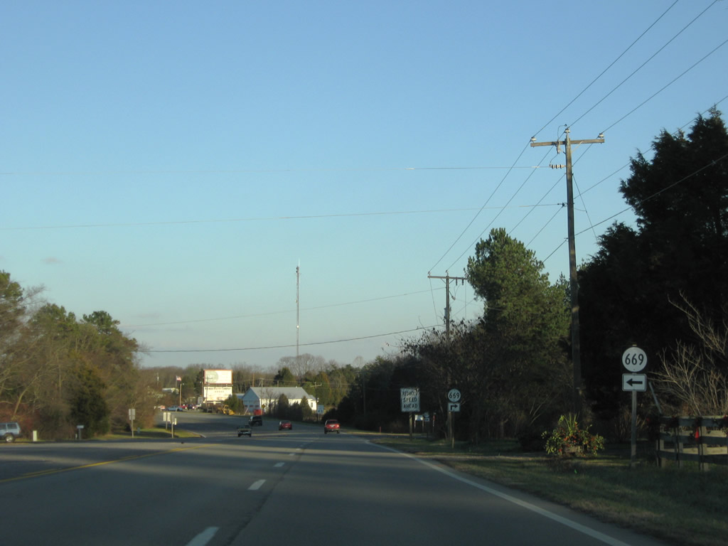
SR 669 spurs north along Criss Road and lines Tarwallet Road southwest to Collins Lake and SR 45 (Cumberland Road) near McRae.
12/21/08
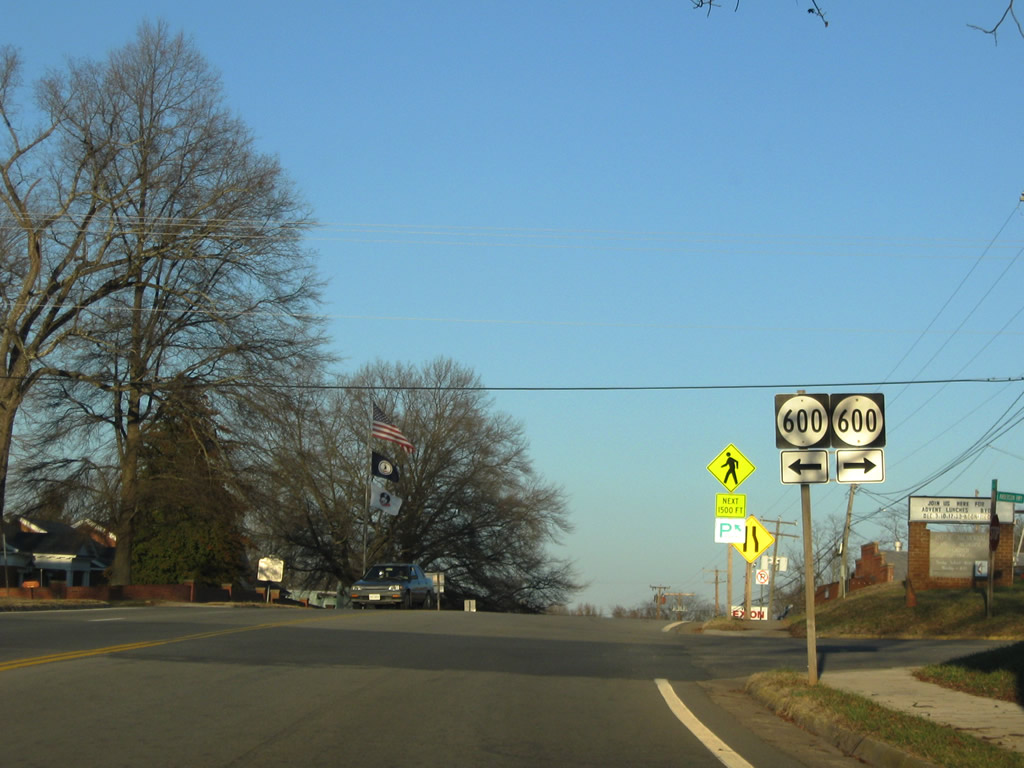
Foster Road north is a residential street. SR 600 (Stoney Point Road) heads south from Cumberland to Stony Point Mills.
12/21/08
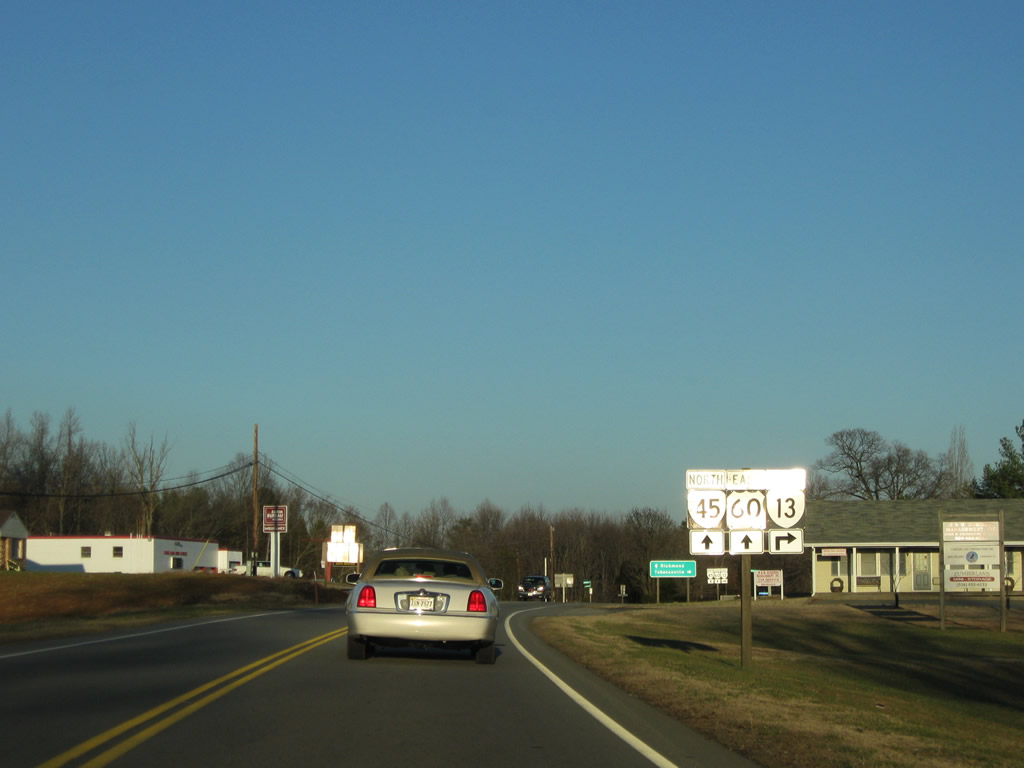
SR 13 (Old Buckingham Road) branches south from U.S. 60/SR 45 (Anderson Highway) beyond Cumberland 7.19 miles to the Powhatan County line east of Sunny Side.
12/21/08
SR 13 (Old Buckingham Road) travels 8.93 miles southeast to SR 681 at Tobaccoville. SR 681 (Clementown Road) stems south from there 14.53 miles to Morven and U.S. 360 at Amelia Court House.
12/21/08
Photo Credits:
- ABRoads: 12/21/08
Connect with:
Page Updated Saturday May 08, 2021.