
State Route 134 South
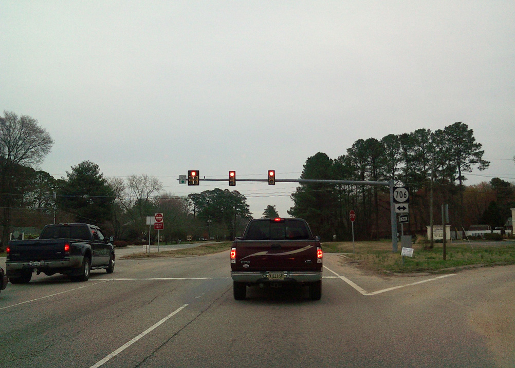
SR 134 (Hampton Highway) branches east from a trumpet interchange with U.S. 17 just ahead of SR 706 along Theatre Road south and Yorktown Road east.
03/21/10
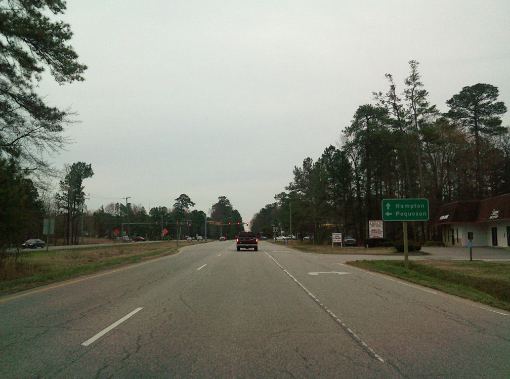
SR 134 (Hampton Highway) continues south to SR 171 (Victory Boulevard).
03/21/10
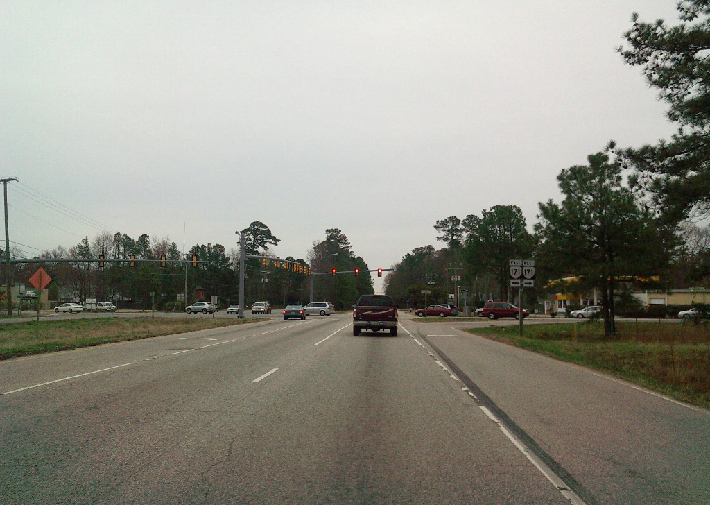
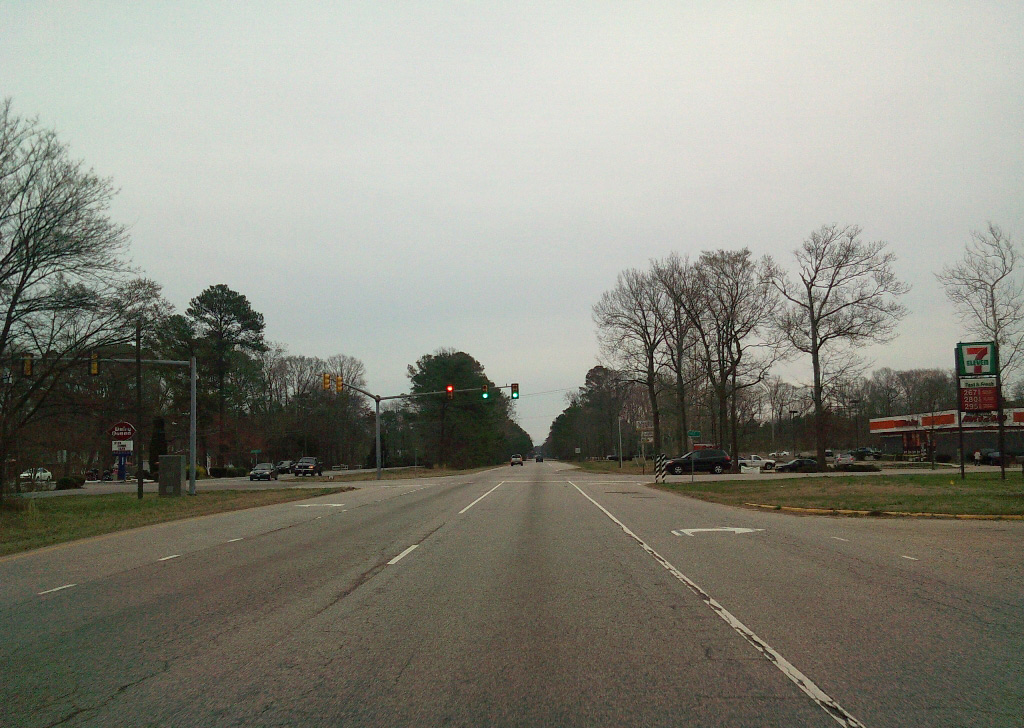
An 11.19 mile long route, SR 171 heads west to SR 143 (Jefferson Avenue) at Oyster Point in Newport News and Messick Point along the Back River in Poquoson.
03/21/10
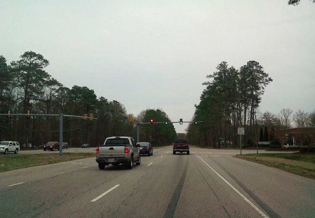
SR 134 intersects Long Green Boulevard by Tabb Library.
03/21/10
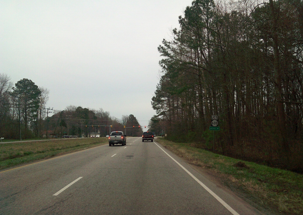
SR 600 (Big Bethel Road) leads 1.30 miles south from SR 706 (Yorktown Road) to SR 134 (Hampton Highway).
03/21/10
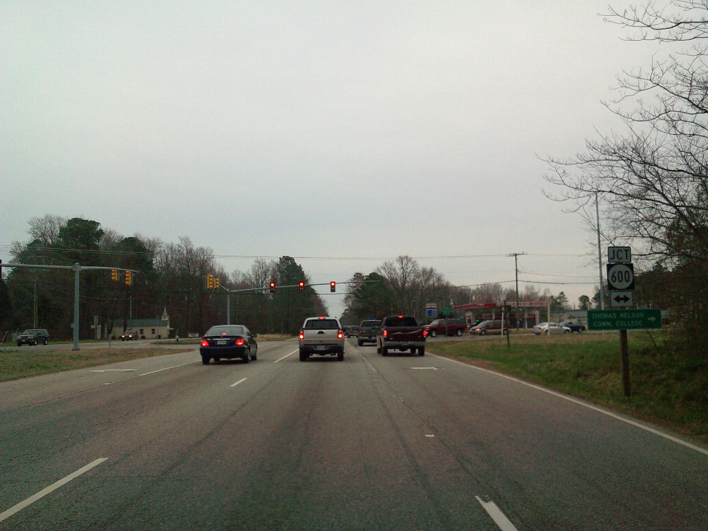
SR 600 (Big Bethel Road) continues south to Big Bethel in the city of Hampton.
03/21/10
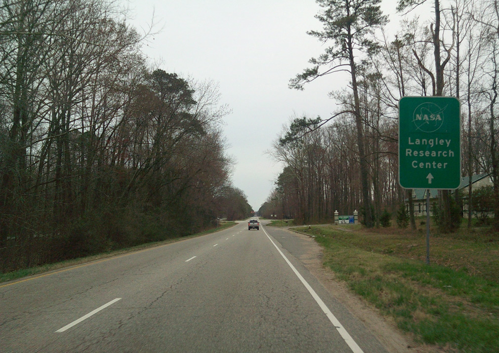
SR 134 (Hampton Highway) angles southeast from Bethel Manor toward NASA Langley Research Center.
03/21/10
1st Street is a minor collector joining Langley Family Housing with SR 134.
03/21/10
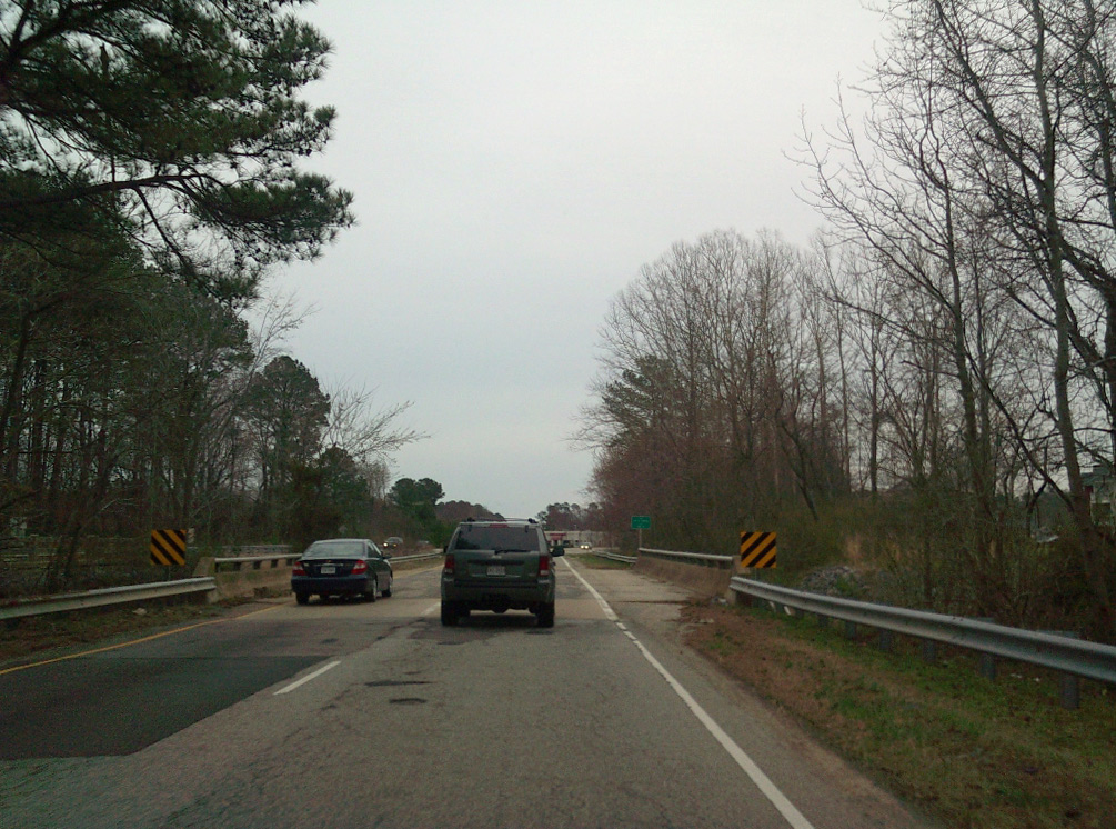
Crossing Brick Kiln Creek, SR 134 (Hampton Highway) enters the independent city of Hampton.
03/21/10
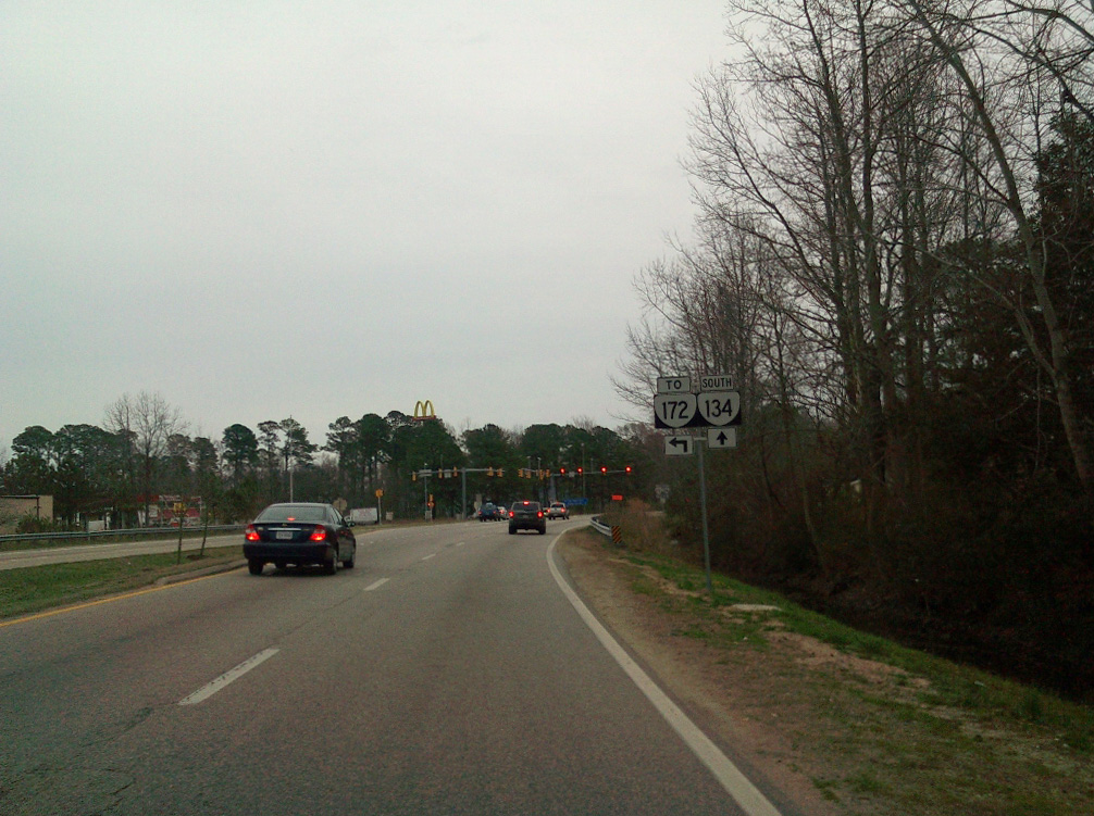
Semple Farm Road north and Commander Shepard Boulevard west come together at SR 134, 0.19 miles from SR 172 along Wythe Creek Road.
03/21/10
Confirming marker posted south of Semple Farm Road.
03/21/10
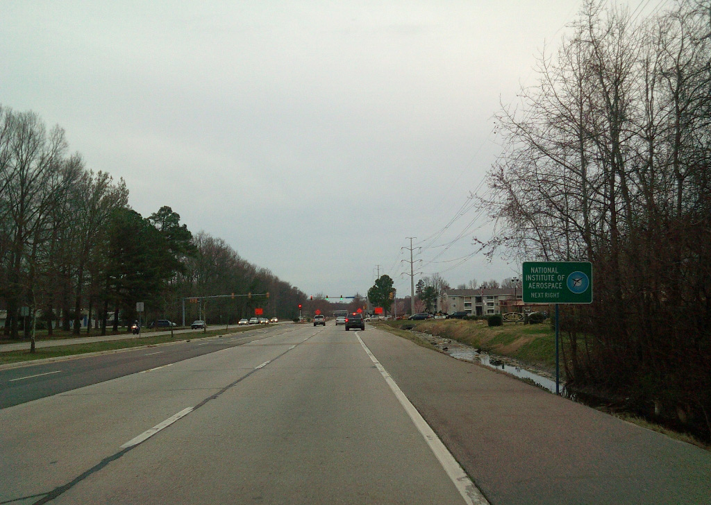
Forthcoming Floyd Thompson connects SR 134 (Macgruder Boulevard) with the National Institute of Aerospace.
03/21/10
Floyd Thompson Drive east leads into the Langley Research & Development Park at Hampton Roads Center.
03/21/10
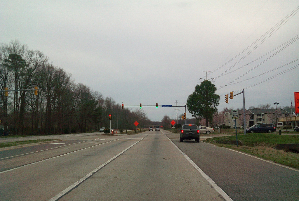
Previously a trumpet interchange, SR 172 concludes at SR 134 (Macgruder Boulevard) west from NASA Langley Research Center. Commander Shepard Boulevard continues west to Big Bethel.
03/21/10
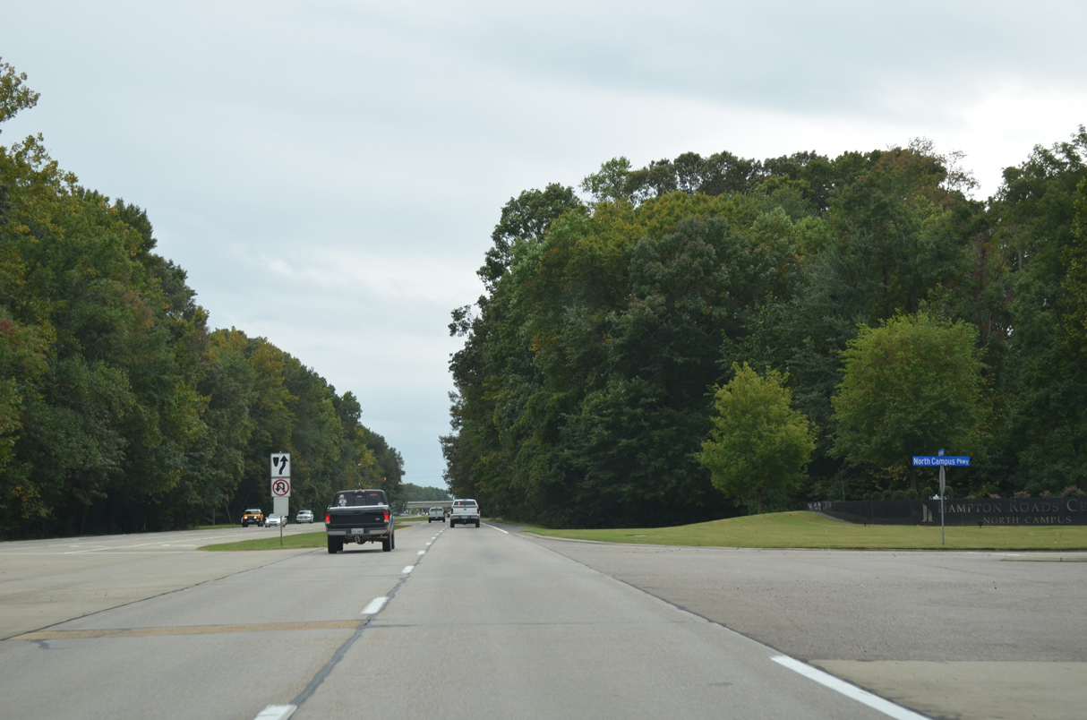
North Campus Parkway loops northwest from SR 134 to the Hampton Roads Center - North Campus and Commander Shepard Boulevard.
10/12/14
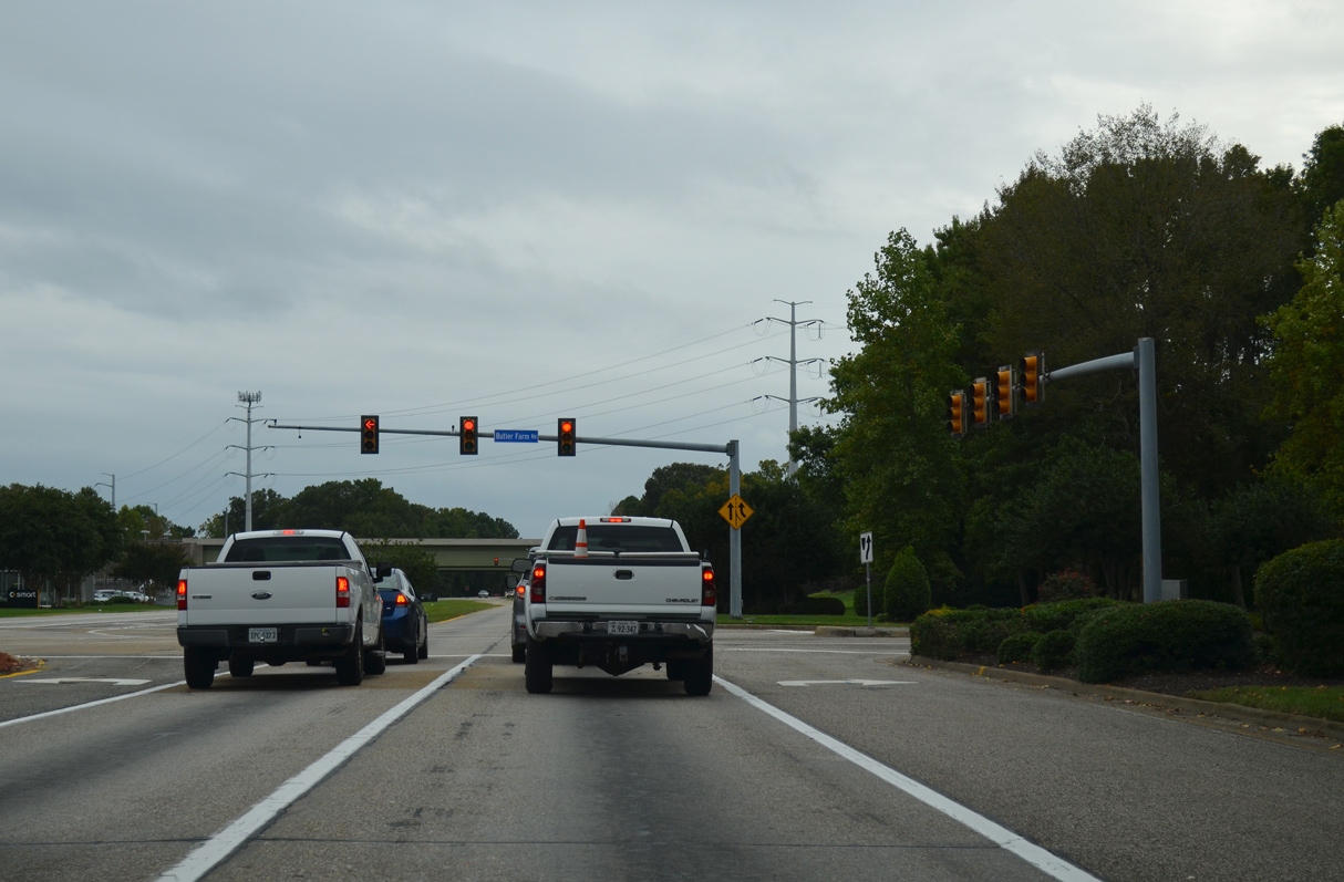
Passing Hamptons Golf Course, SR 134 (Macgruder Boulevard) advances south to Butler Farm Road.
10/12/14
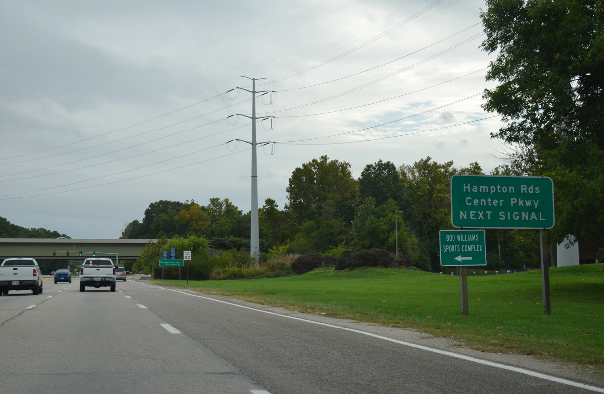
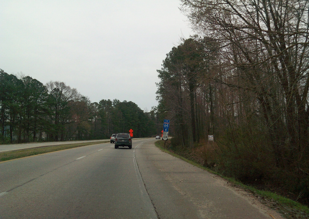
Hampton Roads Center Parkway is a controlled access expressway running west from Armistead Avenue 4.16 miles to Harpersville Road at Morrison in Newport News.
10/12/14
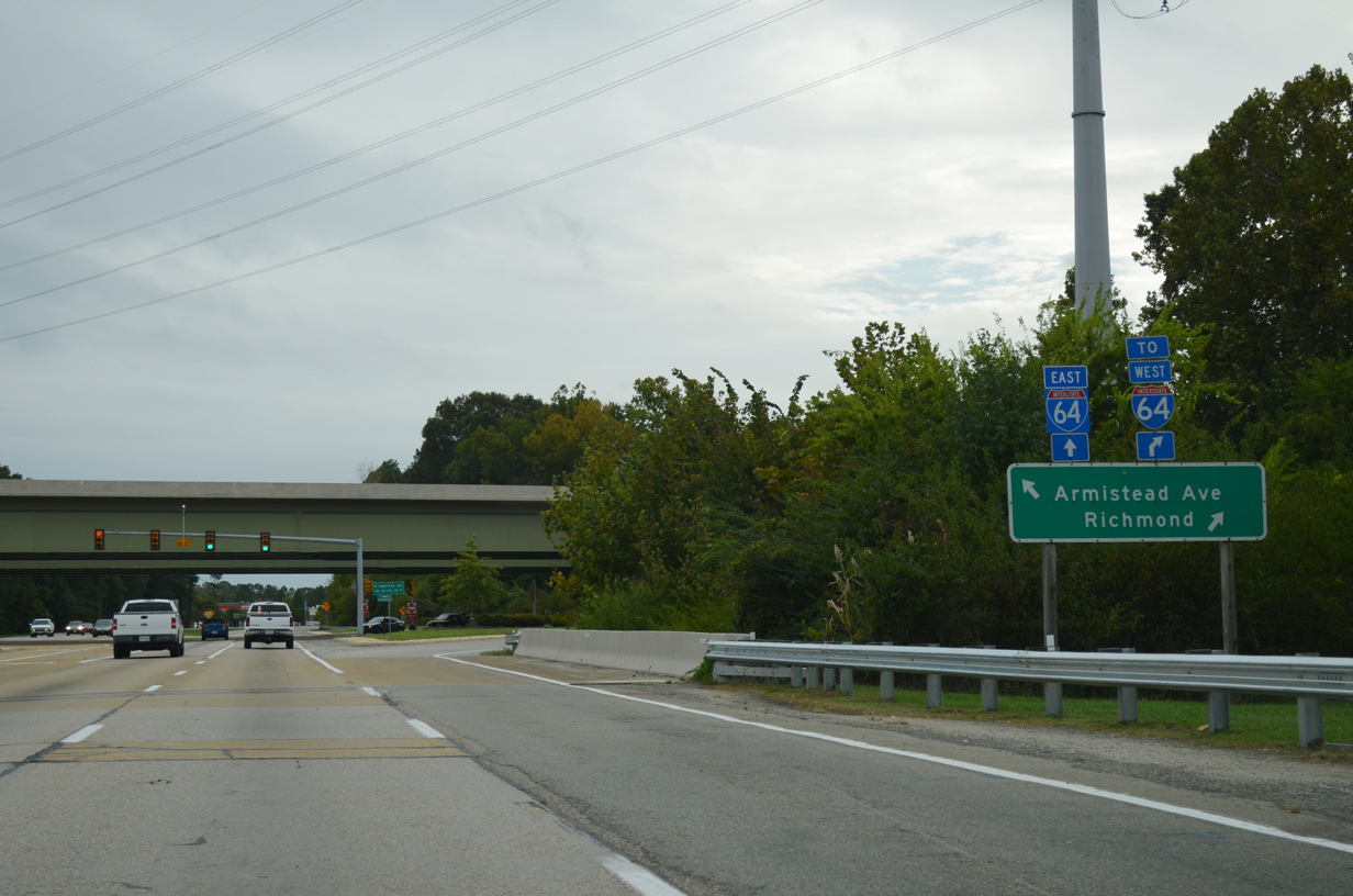
Hampton Roads Center Parkway connects SR 134 south with I-64 west toward Williamsburg.
10/12/14
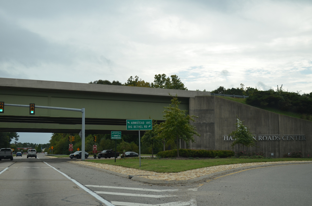
A SPUI joins SR 134 and Hampton Roads Center Parkway.
10/12/14

Magruder Boulevard next intersects Enterprise Parkway west to Hampton Roads Center - South Campus and Hardy Cash Drive east to the Magruder Heights subdivision and Coliseum Drive.
10/12/14
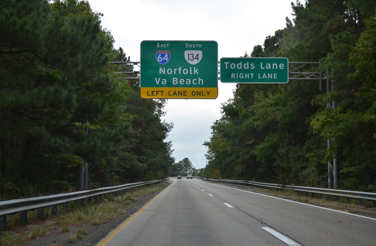
SR 134 continues south to combine with I-64 east at a wye interchange.
10/12/14
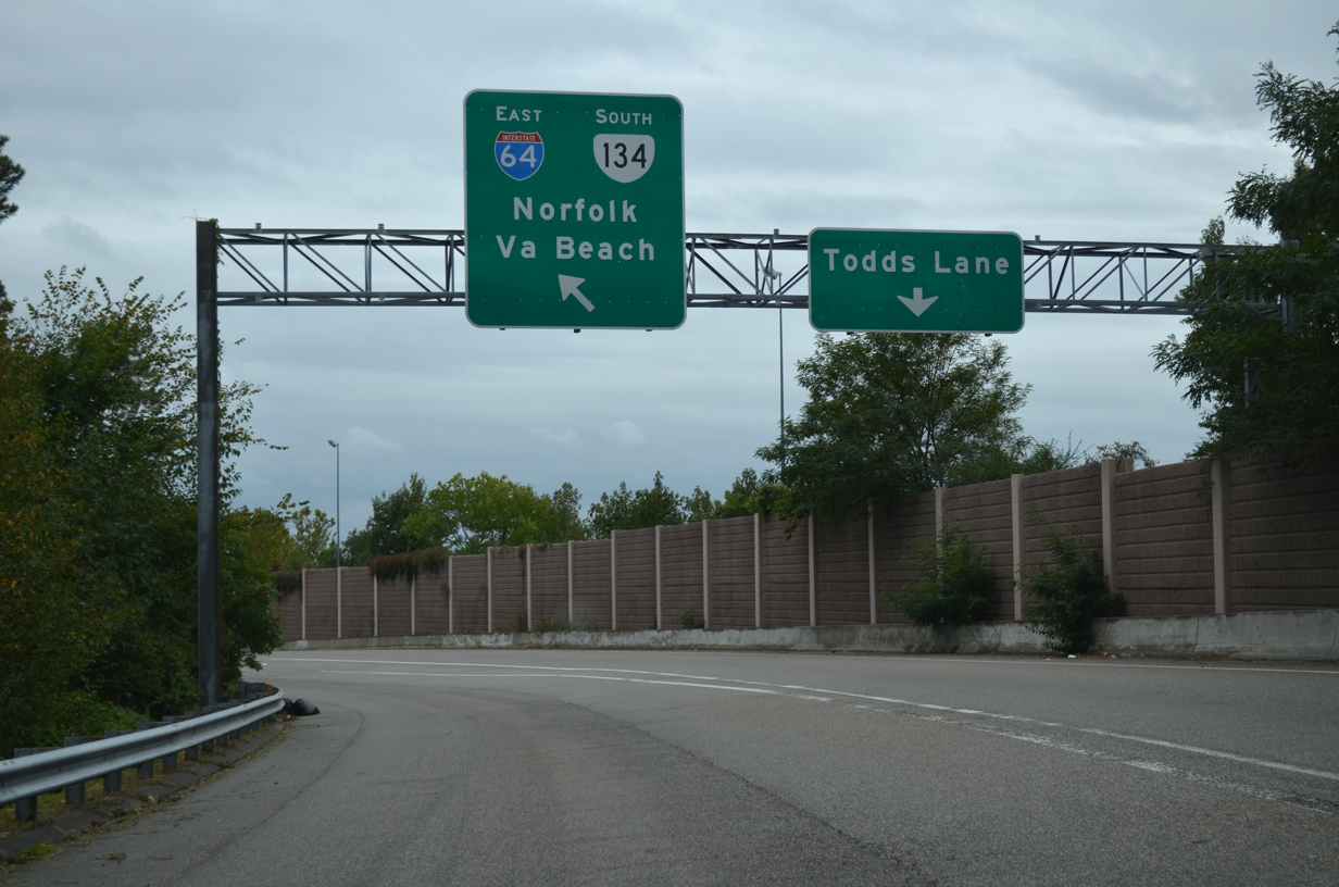
A separate exit departs from SR 134 south to SR 152 (Cunningham Drive) west ahead of Todds Lane.
10/12/14
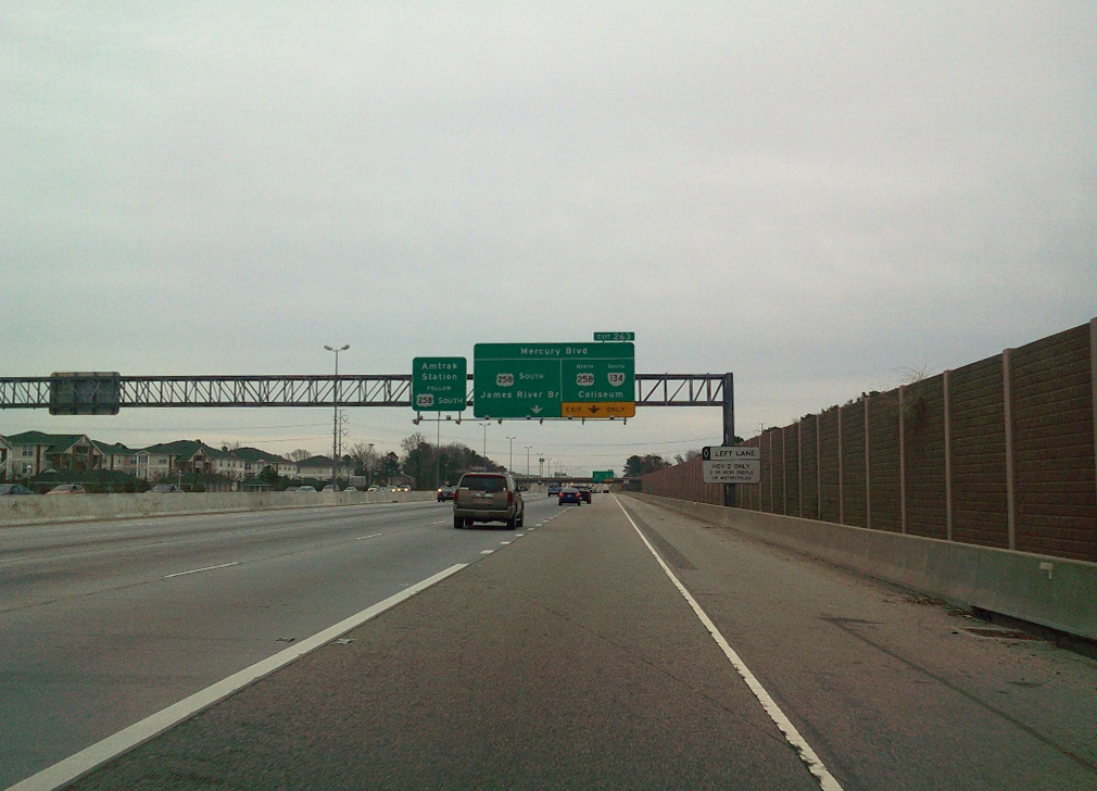
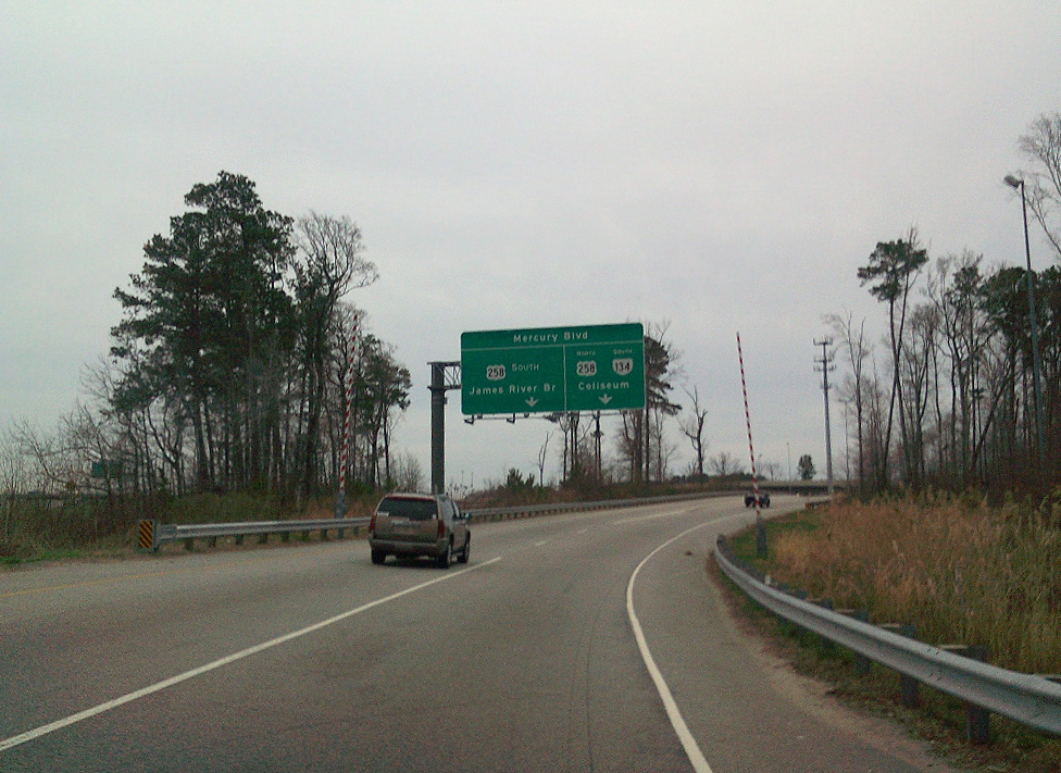
SR 134 south overlaps with eastbound I-64 for 0.52 miles to the exchange with U.S. 258 (Mercury Boulevard).
03/21/10
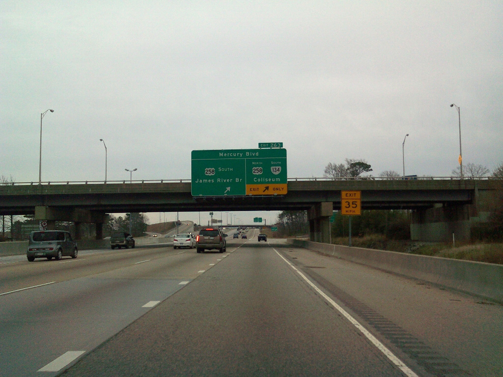
U.S. 258 (Mercury Boulevard) heads southwest to the James River Bridge through Newport News.
03/21/10
A flyover leads SR 134 southbound onto U.S. 258 (Mercury Boulevard) north into the Coliseum Central commercial district.
03/21/10
Photo Credits:
- Connor Lauzon: 03/21/10
- Alex Nitzman: 10/12/14
Connect with:
Page Updated Thursday April 22, 2021.