
State Route 200

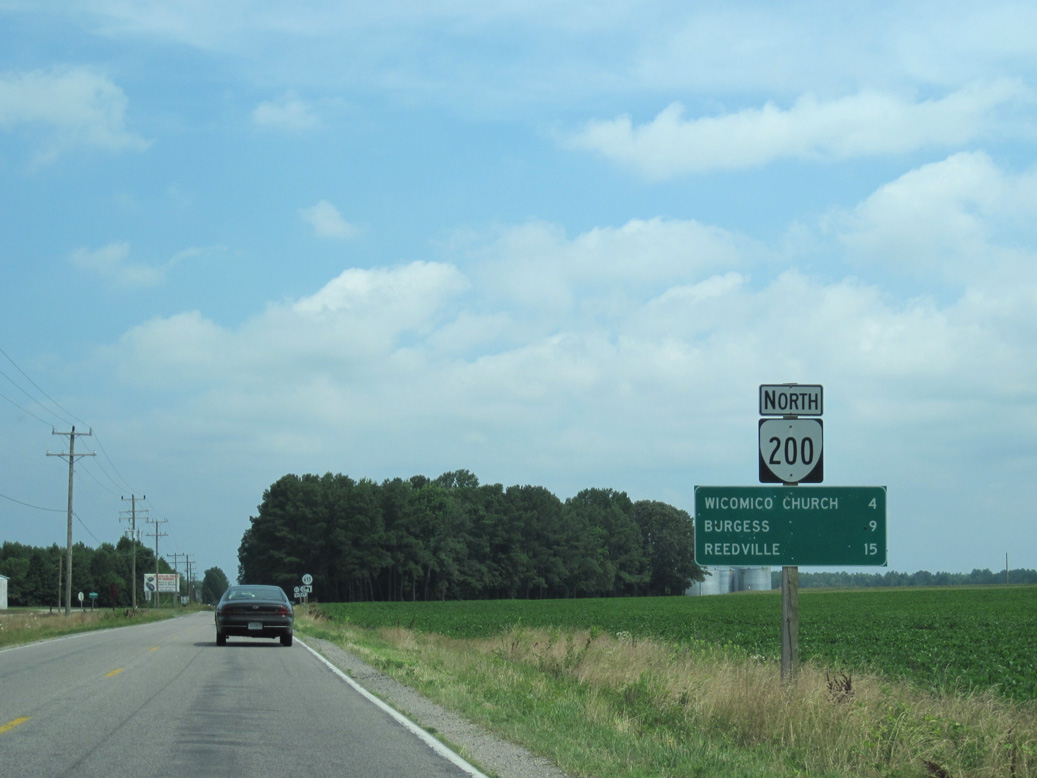
SR 200 (Irvington Road) loops 6.43 miles west from SR 3 between White Stone and Kilmarnock through Irvington in Lancaster County. Following a 0.09 mile overlap along SR 3 (Main Street) in Kilmarnock, SR 200 turns northeast along Church Street and the Lancaster / Northumberland County line. Continuing 10.18 miles north along Jess Dupont Memorial Highway, SR 200 crosses the Great Wicomico River to U.S. 360 (Northumberland Highway) at Burgess.

SR 200 enters the town of Kilmarnock and proceeds east to SR 3 (Main Street) in Downtown along Irvington Avenue. SR 3 leads south to White Stone.
06/25/10
06/25/10
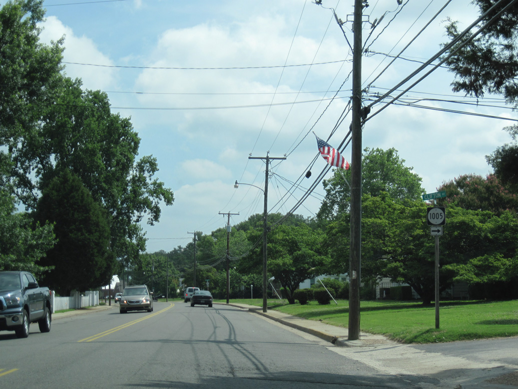
SR 200 (Church Street) north at SR 1005 (Clifton Avenue) in Kilmarnock.
06/25/10
06/25/10
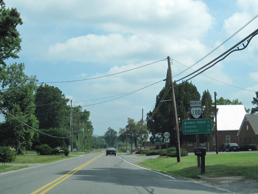
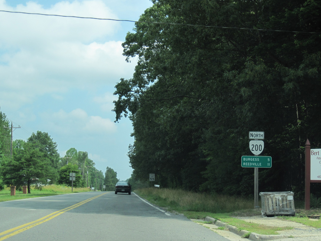
SR 200 travels 12 miles north from Kilmarnock to U.S. 360 in Burgess.
06/25/10
06/25/10
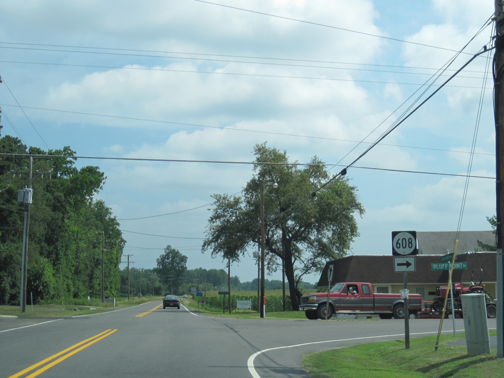
SR 608 (Bluff Point Road) meanders 2.19 miles east from SR 200 to Lynhams and SR 669 south from Bluff Point Neck to Byrdton.
06/25/10
06/25/10
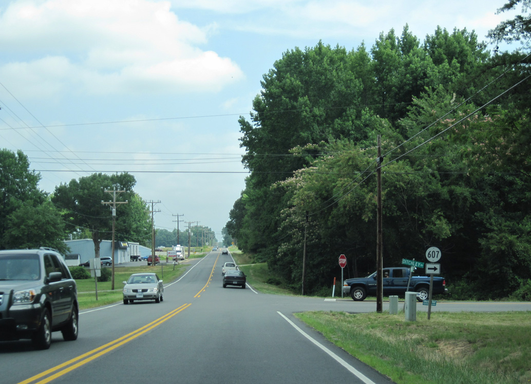
SR 200 (Jessie Dupont Memorial Highway) runs along the Lancaster / Northumberland County line north. SR 607 (Ditchley Road) stems east to Ditchley between Dividing and Prentice Creeks.
06/25/10
06/25/10
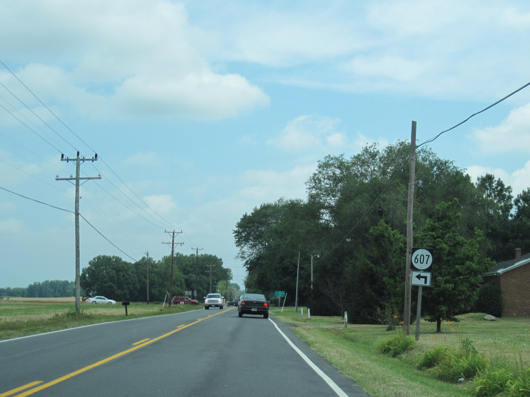
The western leg of SR 607 (Goodluck Road) connects SR 200 at Good Luck with SR 3 (Mary Ball Road).
06/25/10
06/25/10
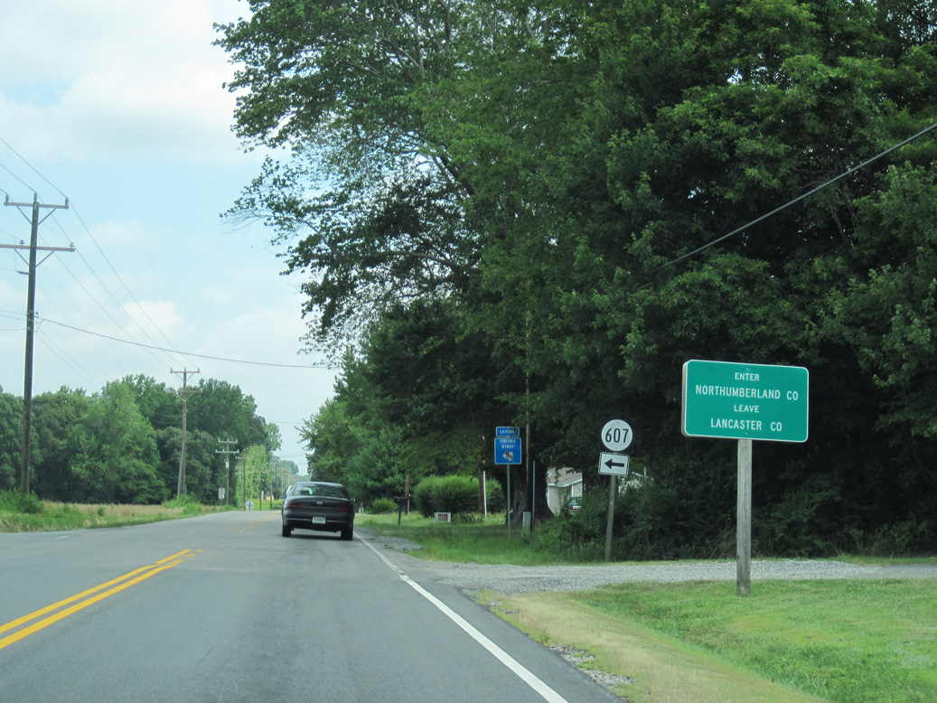
SR 200 fully enters Northumberland County north of Good Luck.
06/25/10
06/25/10
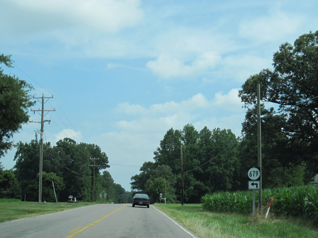
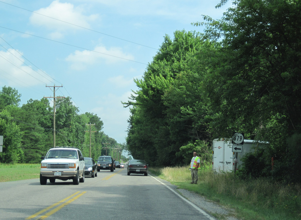
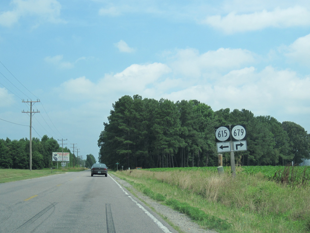
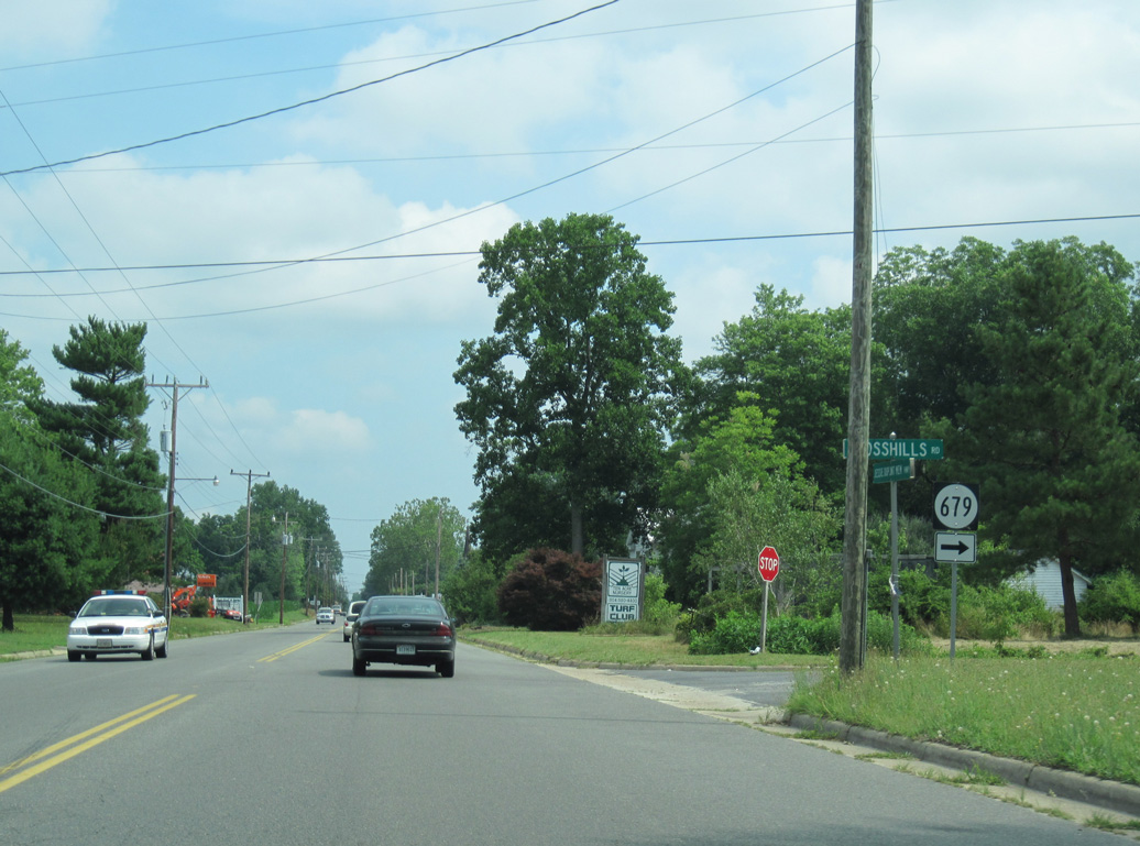
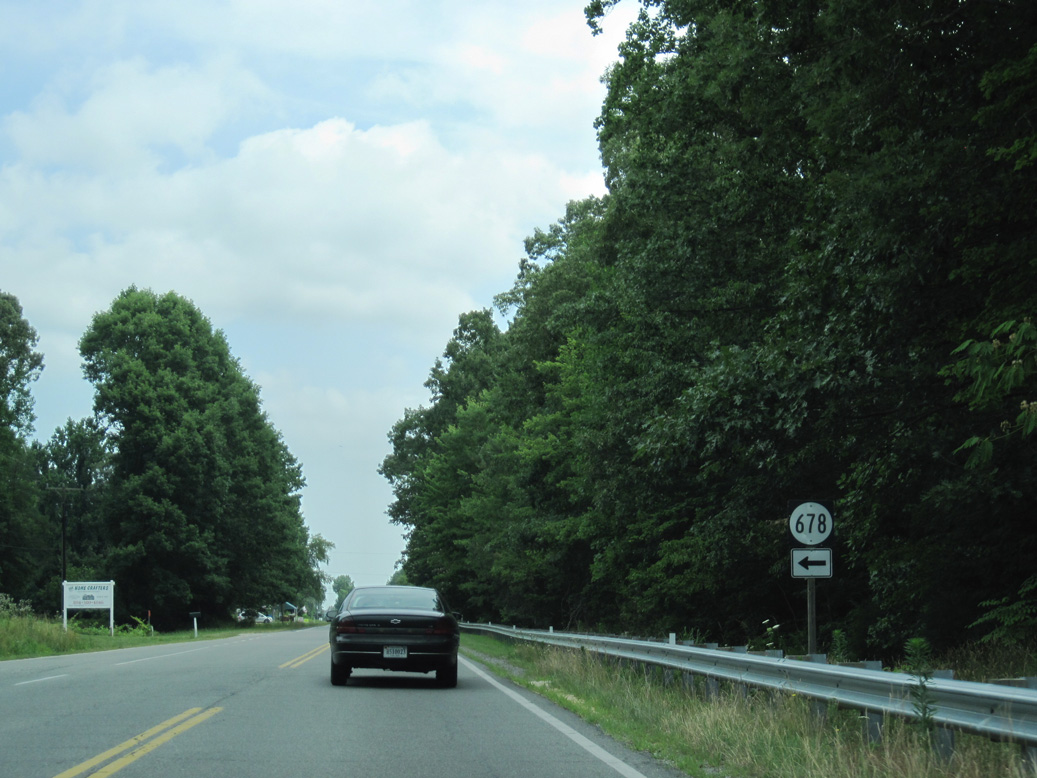
SR 679 loops west from SR 200 (Jessie Dupont Memorial Highway) along Morattico Church Road.
06/25/10
06/25/10
06/25/10
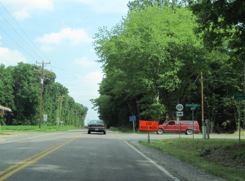
SR 606 (Shiloh School Road) runs east from SR 200 at Rehoboth Church onto Ball Neck along Chesapeake Bay.
06/25/10
06/25/10
06/25/10
SR 615 straddles the Lancaster / Northumberland County line northwest to Lankford Corner, Regina, Browns Store and SR 201 (White Chapel Road) at Beanes Corner.
06/25/10
06/25/10
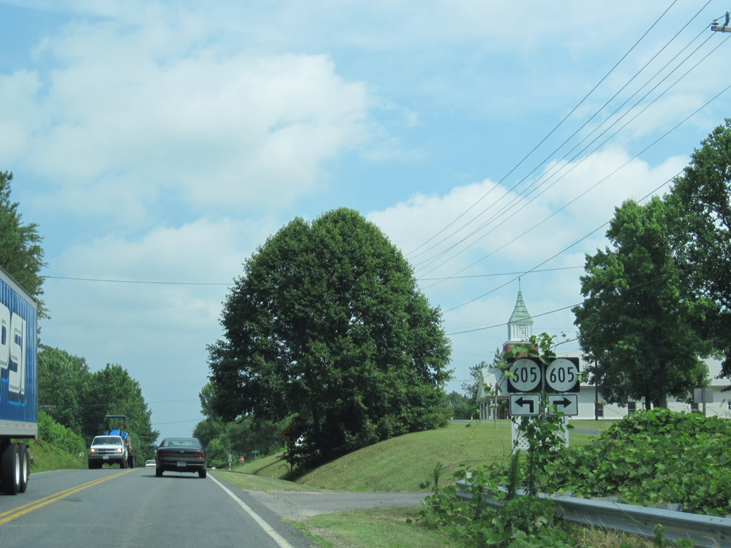
SR 605 (Mt. Olive Road) ties into SR 200 east 1.60 miles from SR 615 (Beanes Road) near Lankford Corner and west from Mt. Olive.
06/25/10
06/25/10
The northern loop of SR 679 (Crosshills Road) returns to SR 200 from Mt. Olive.
06/25/10
06/25/10
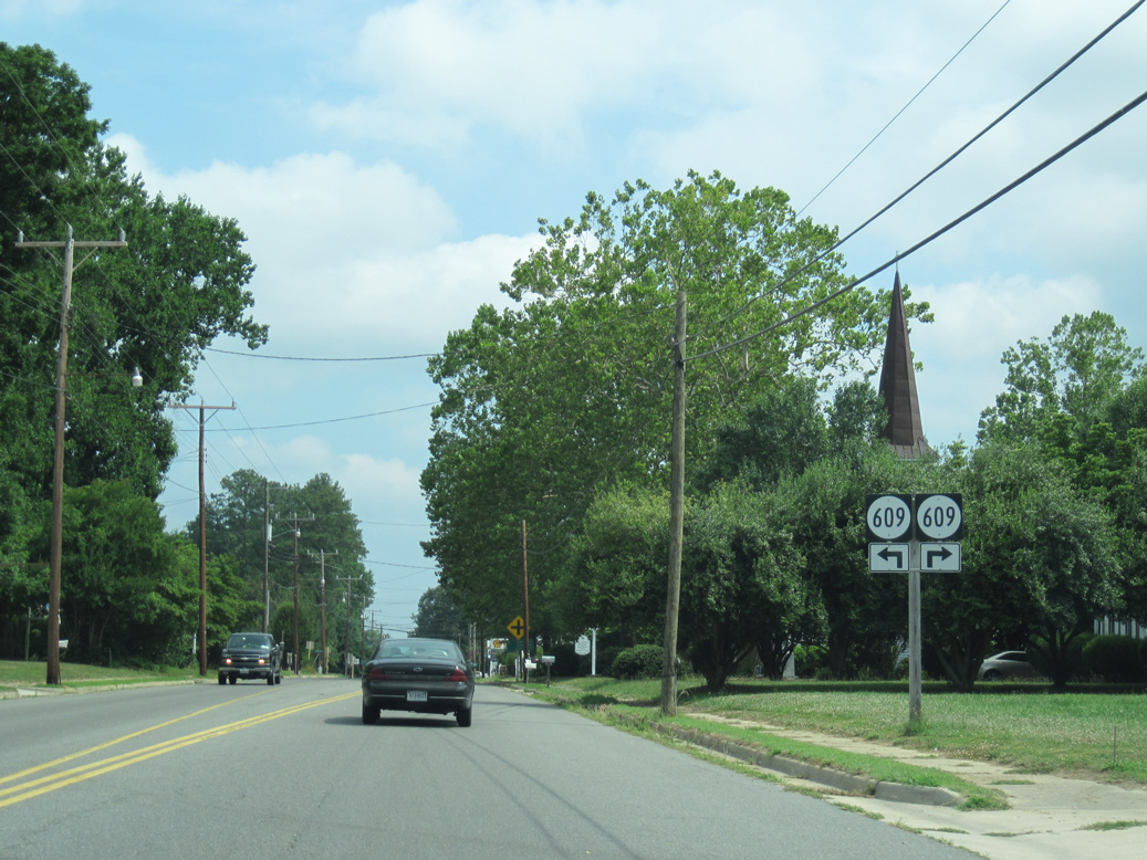
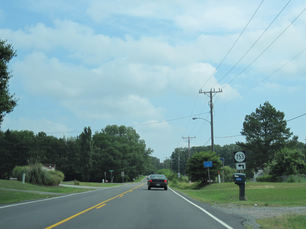
SR 609 (Browns Store Road / Remo Road) crosses paths with SR 200 at Wicomico Church.
06/25/10
06/25/10
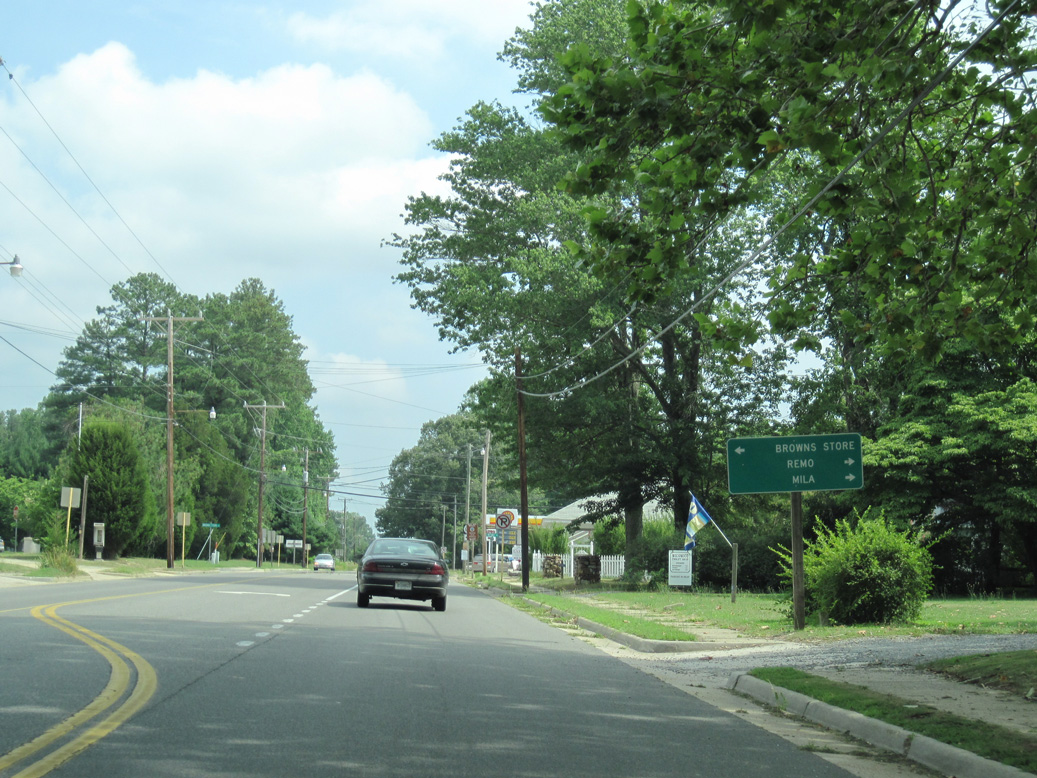
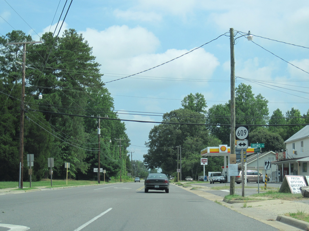
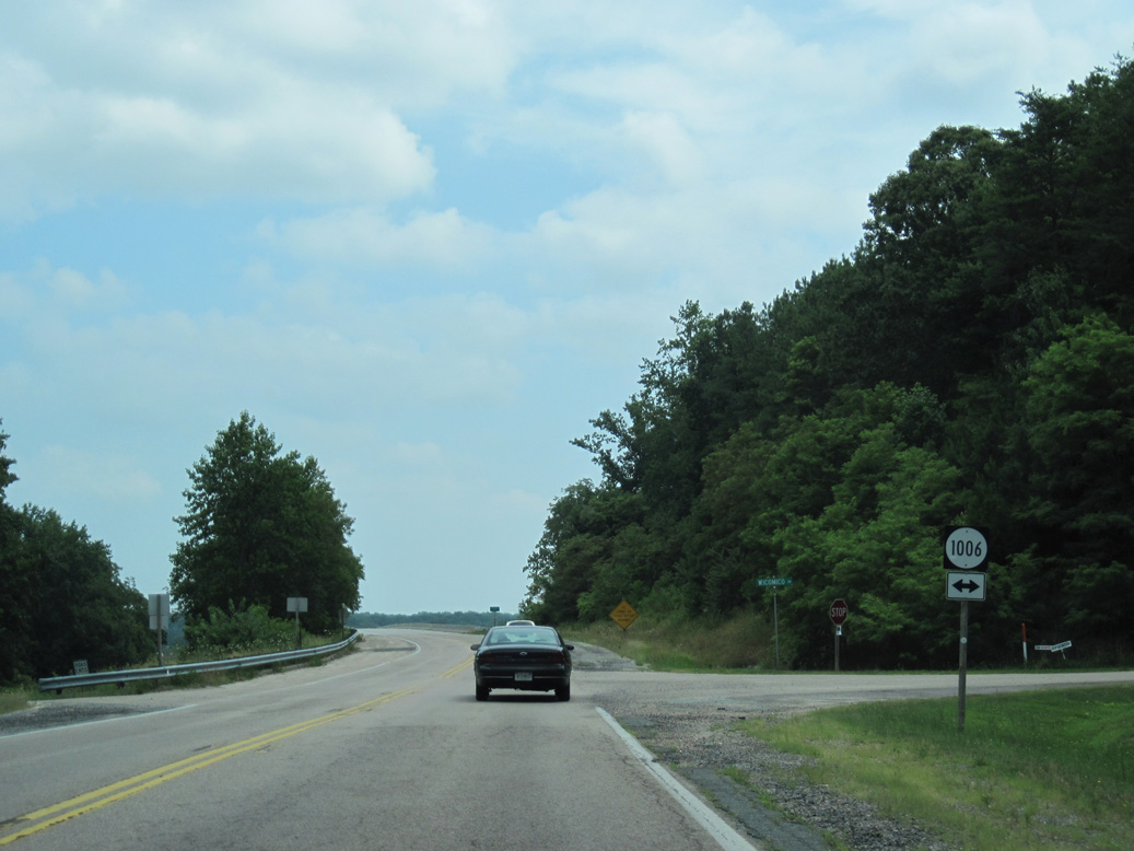
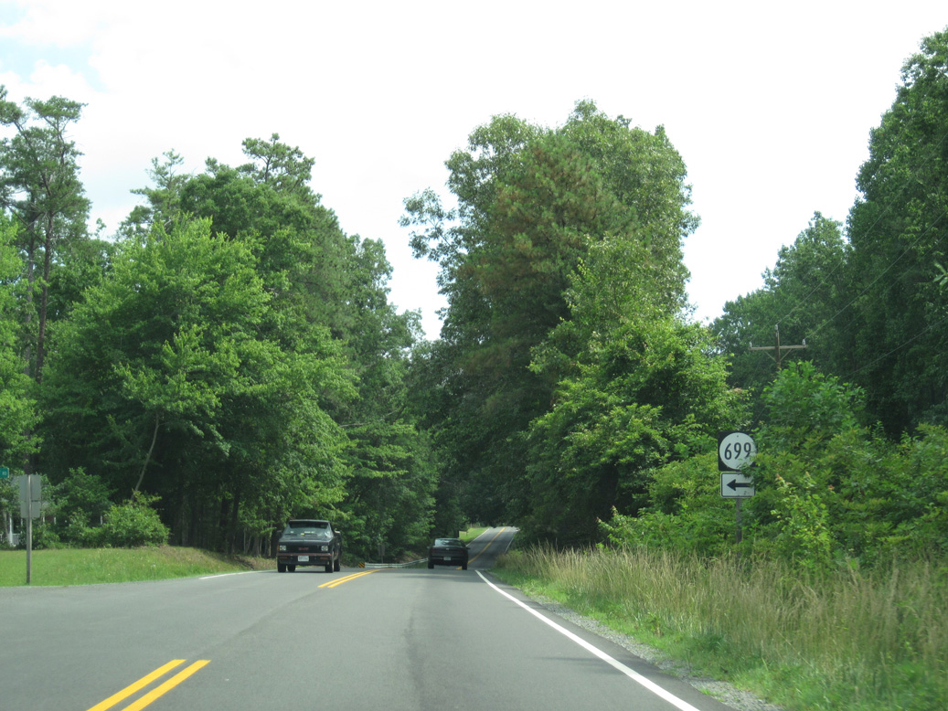
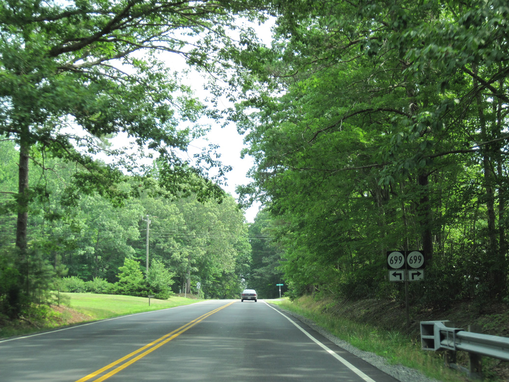
SR 609 (Remo Road) runs 4.2 miles east to Ingram Bay Drive along Ingram Bay. SR 665 (Mila Road) branches north from SR 609 at Remo along Mila Neck to Mila on the Great Wicomico River.
06/25/10
06/25/10
SR 609 leads west on Browns Store Road 2.48 miles to SR 615 (Beanes Road) at Browns Store.
06/25/10
06/25/10
06/25/10
06/25/10
06/25/10
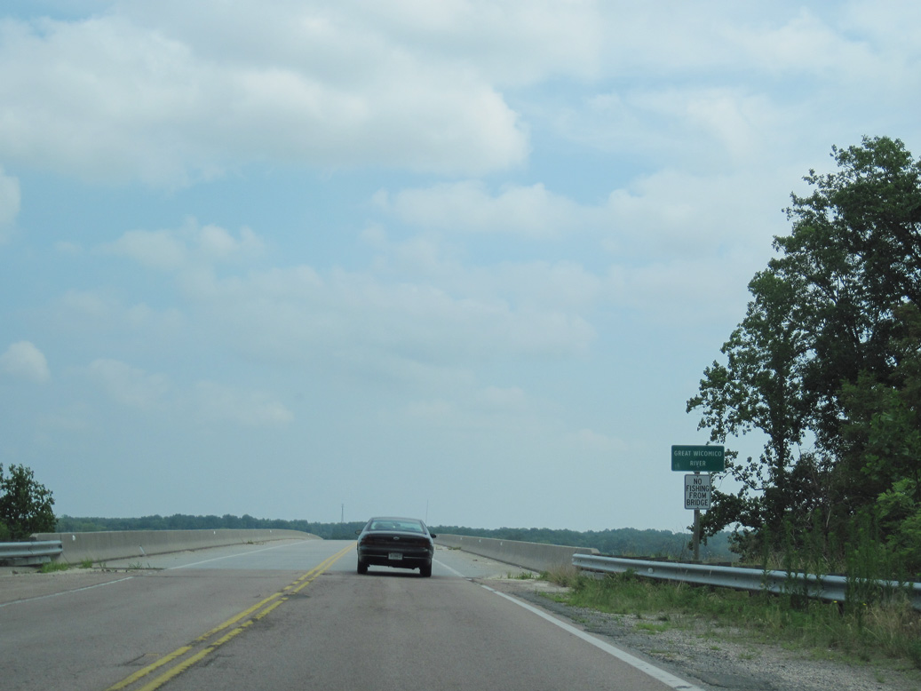
SR 200 (Jeese Dupont Memorial Highway) crosses the Great Wicomico River north of Tipers.
06/25/10
06/25/10

The Great Wicomico River flows east from SR 200 between Ferry Point and Bogey Neck.
06/25/10
06/25/10
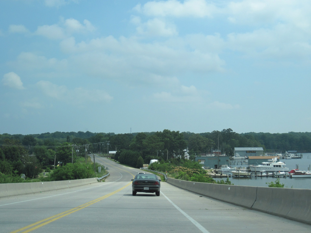
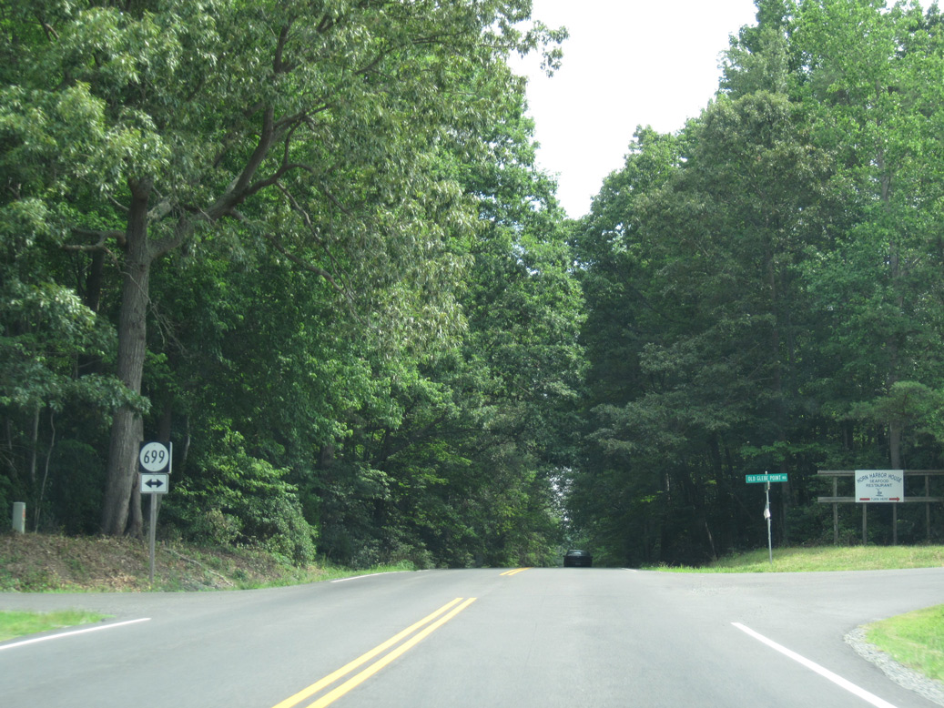
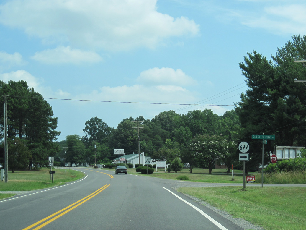
SR 200 lowers from the span across the Great Wicomico River at Glebe Point.
06/25/10
06/25/10
06/25/10
06/25/10
06/25/10
06/25/10
06/25/10
06/25/10
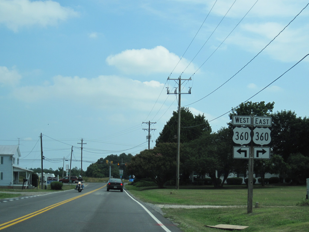
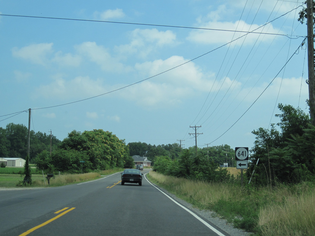
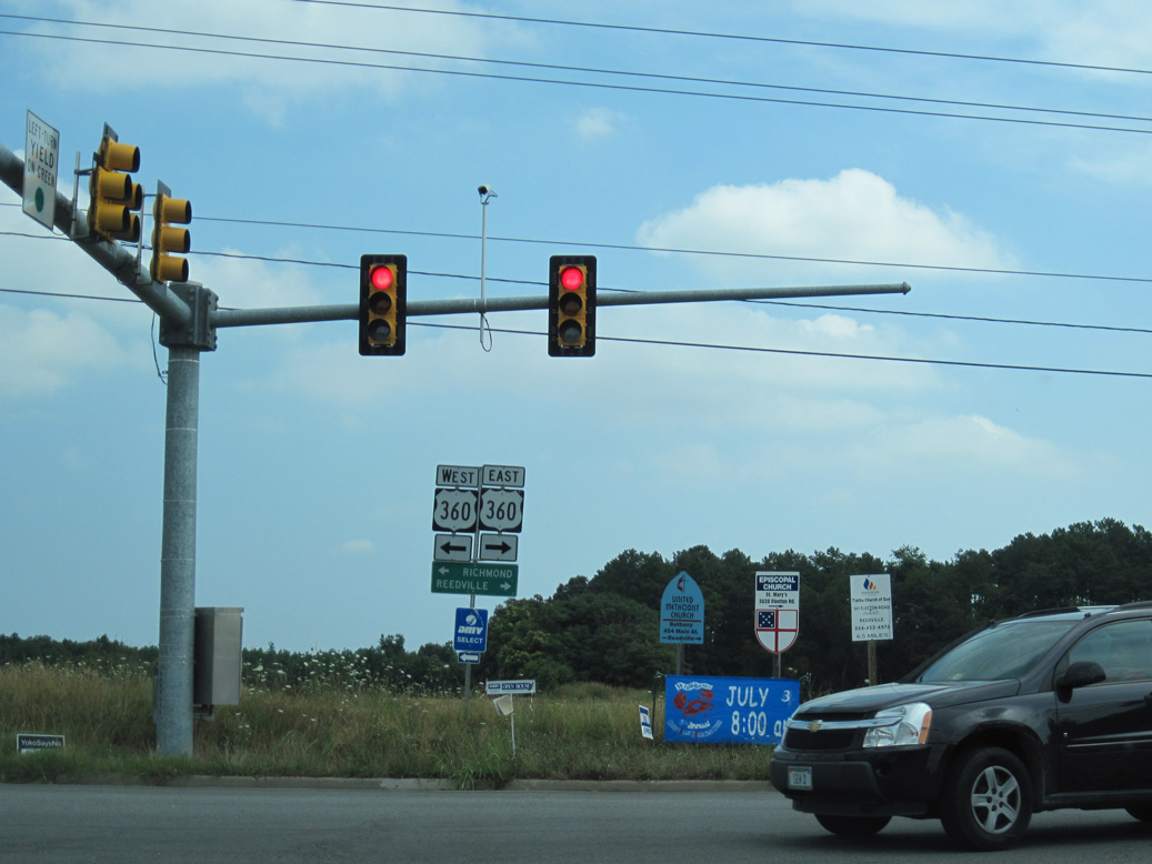
SR 200 (Jesse Dupont Memorial Highway) concludes at U.S. 360 (Northumberland Highway) in the unincorporated community of Burgess.
06/25/10
06/25/10
U.S. 360 (Northumberland Highway) continues 5.64 miles east from Burgess to Reidsville and 7.91 miles west to SR 201 (Courthouse Road) at Heathsville.
06/25/10
06/25/10
Photo Credits:
- ABRoads: 06/25/10
Connect with:
Page Updated Saturday May 08, 2021.