
State Route 529
7.78 miles in length, Washington State Route 529 joins the Everett city center with Interstate 5 and the Marysville city center. SR 529 connects with I-5 at a split diamond interchange (Exit 194) in east Everett. The route lines Maple Street north to Everett Avenue west to Downtown. Everett Avenue 0.20 miles east from Maple Street to I-5 north is unsigned SR 529 Spur.
Turning north along W Marine Way, SR 529 runs west of the Everett street grid along Port Gardner to Puget Sound Naval Complex and the Snohomish River at Preston Point. SR 529 arcs eastward to an expressway along Pacific Highway (old U.S. 99) at Walnut Street. Pacific Highway leads SR 529 north across the Snohomish River onto Smith Island, and over Union Slough and Steamboat Slough into the city of Marysville.
Beyond the two wye interchange (Exit 198) with Interstate 5, SR 529 spans Ebey Slough onto Slate Avenue into the Marysville street grid. The state route ends at SR 528 (Fourth Street) by the Town Center retail complex.
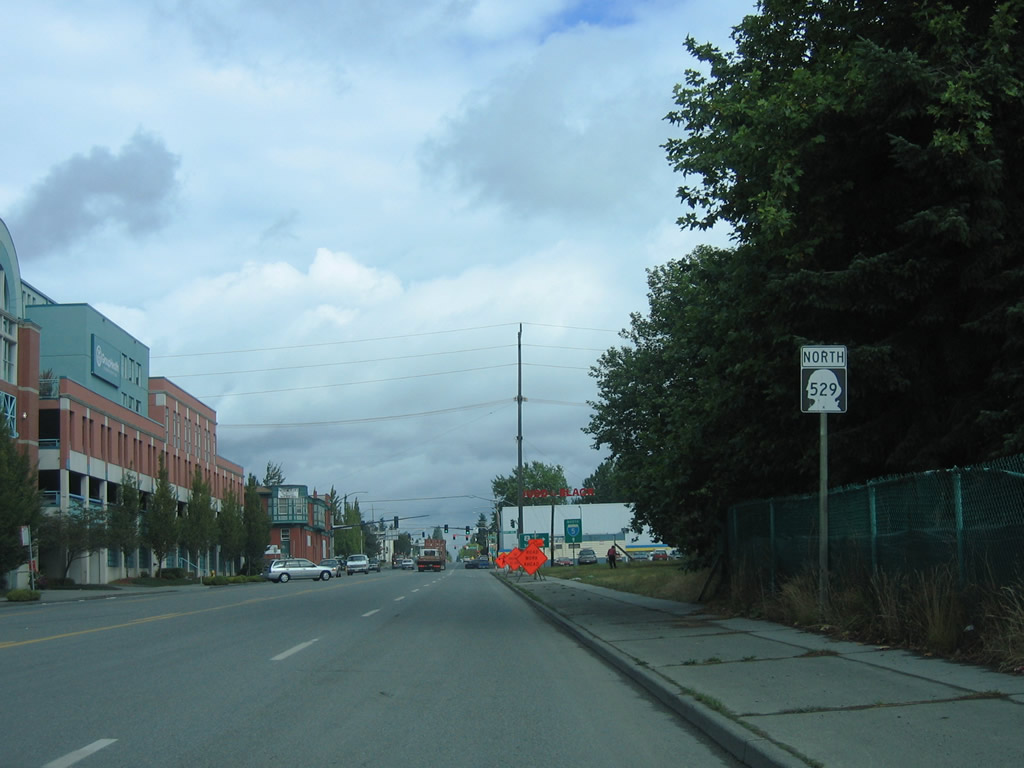
 North
North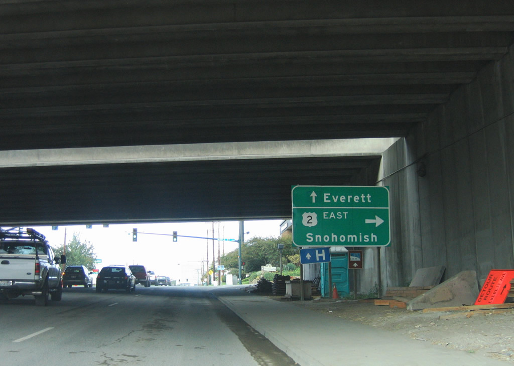
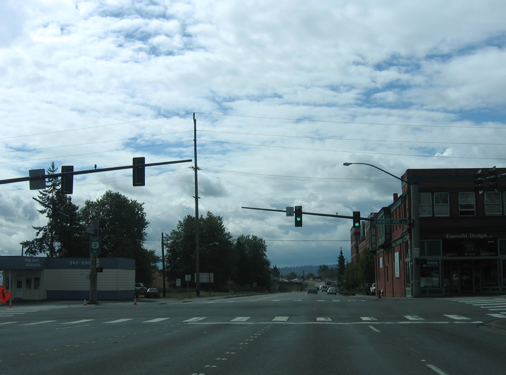
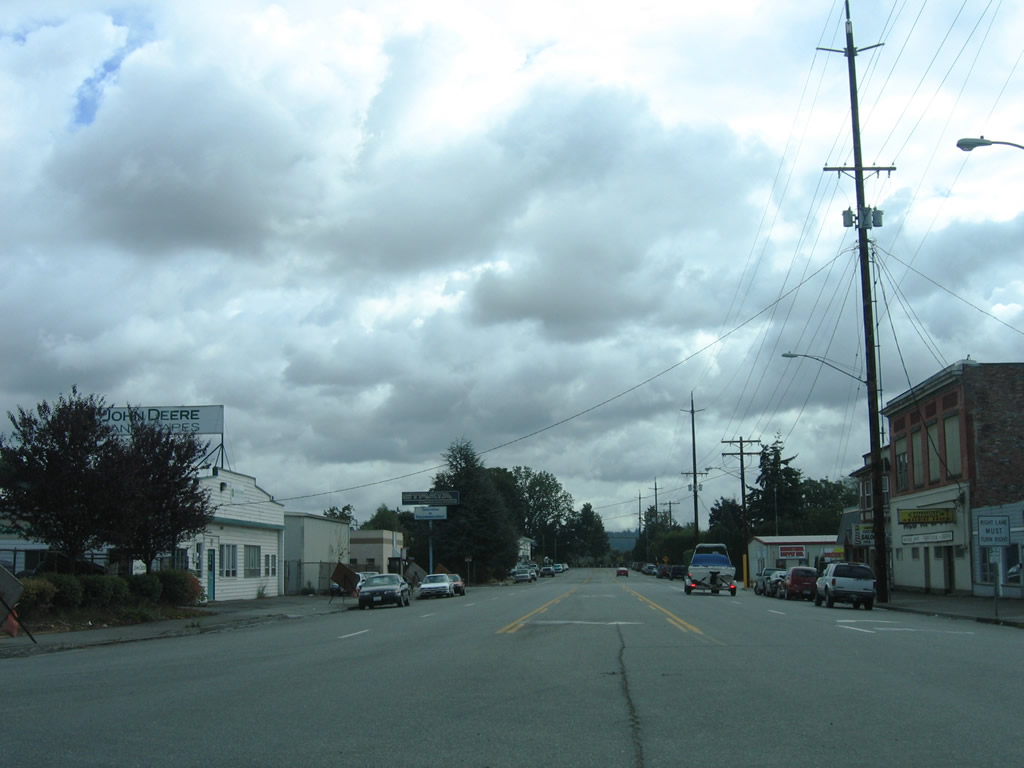
SR 529 begins along Pacific Avenue at Interstate 5 in the city of Everett. SR 529 turns north onto Maple Street beyond the freeway over crossing.
08/30/06
Maple Street leads south directly onto Interstate 5 south at Pacific Avenue. SR 529 follows Maple north to Everett Avenue.
08/30/06
The first shield assembly for SR 529 stands along Maple Street north between Pacific Avenue and the eastbound beginning of U.S. 2 at Hewitt Avenue.
08/30/06
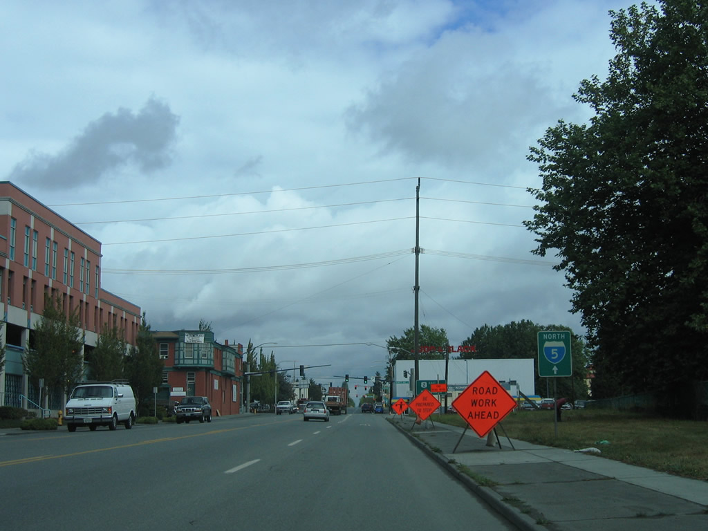
The entrance ramp for I-5 north at the split diamond interchange (Exit 194) in Everett departs from SR 529 Spur on Everett Avenue.
08/30/06
U.S. 2 begins at the intersection of SR 529 (Maple Street) and Hewitt Avenue. U.S. 2 separates from Hewitt Avenue below Interstate 5 for the bridge across the Snohomish River.
08/30/06

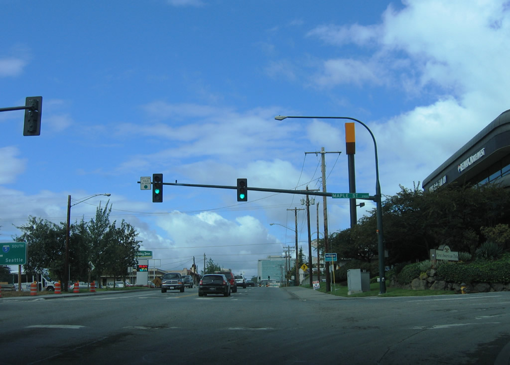
Hewitt Avenue continues west from U.S. 2 and SR 529 (Maple Street) to the Everett city center. Hewitt Avenue likely carried U.S. 2 west to Broadway (old U.S. 99) originally.
08/30/06
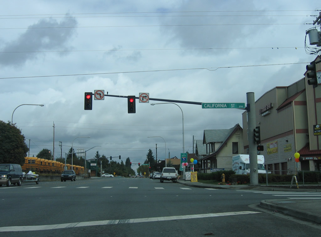
U.S. 2 west concludes along California Street at SR 529 (Maple Street).
08/30/06
SR 529 turns westward toward the Everett city center along Everette Avenue. SR 529 Spur lines Everett Avenue 0.20 miles east to Interstate 5.
08/30/06
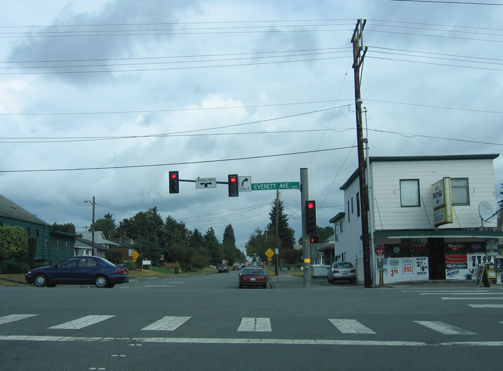
SR 529 follows Everett Avenue west from SR 529 Spur at Maple Street to W Marine View Drive at Terminal Avenue.
08/30/06
South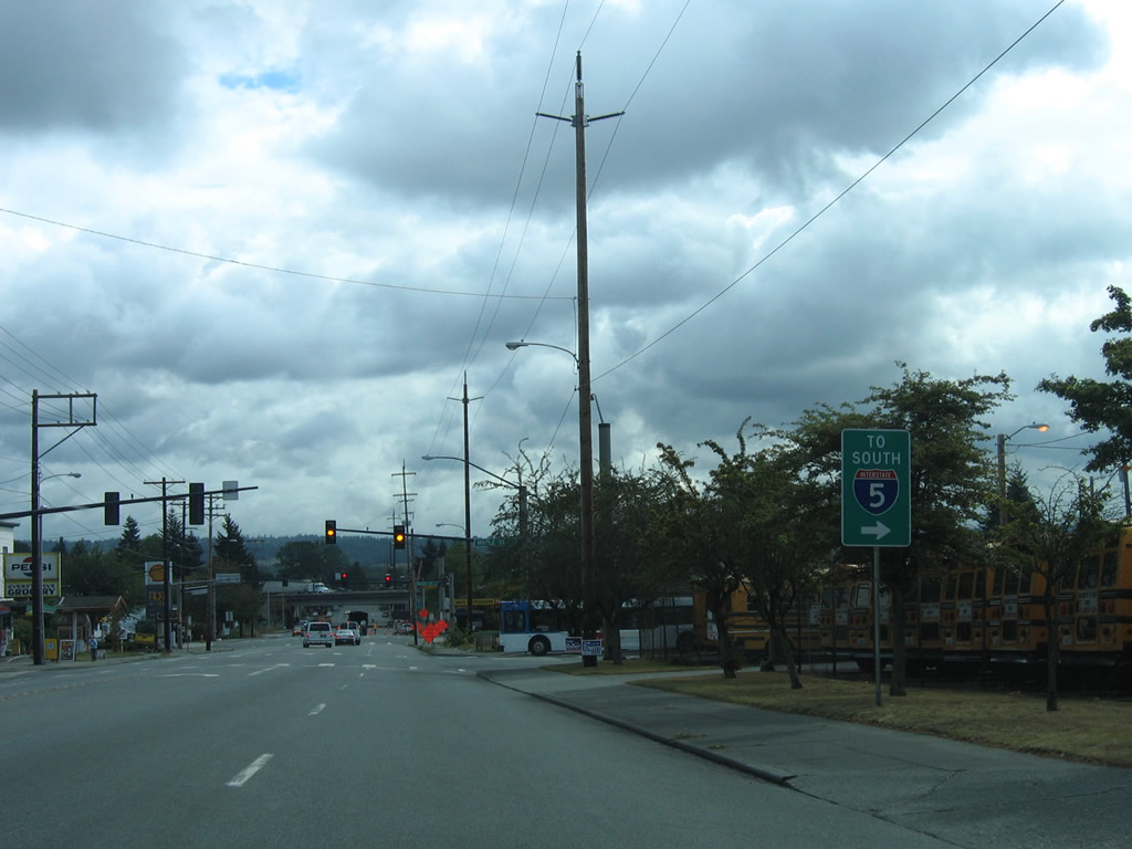
SR 529 follows Everett Avenue east from W Marine View Drive to Maple Street through the Everett city center. Pictured here is an I-5 trailblazer at the turn onto Maple Street south. SR 529 ends at the split diamond interchange joining I-5 at Exit 194 with Pacific Avenue and SR 529 Spur along Everett Avenue.
08/30/06
Reassurance shield for SR 529 southbound posted between Everett Avenue (SR 529 Spur) and the west end of U.S. 2 at California Street.
08/30/06
U.S. 2 eastbound begins along an expressway leading to Ebey Island from the intersection of SR 529 (Maple Street) and Hewitt Avenue. According to the USGS Topo for Everett, U.S. 2 once continued west on Hewitt Avenue to Broadway (historic U.S. 99 / old SR 529).
08/30/06

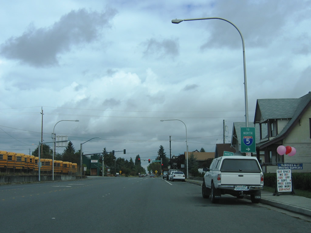
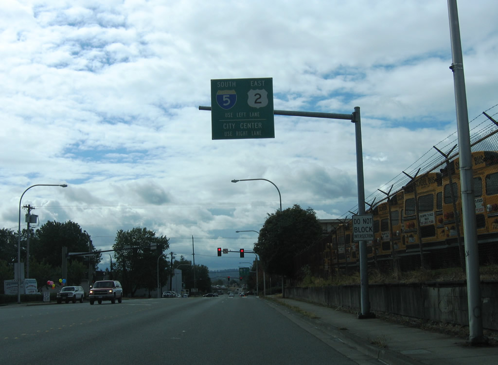
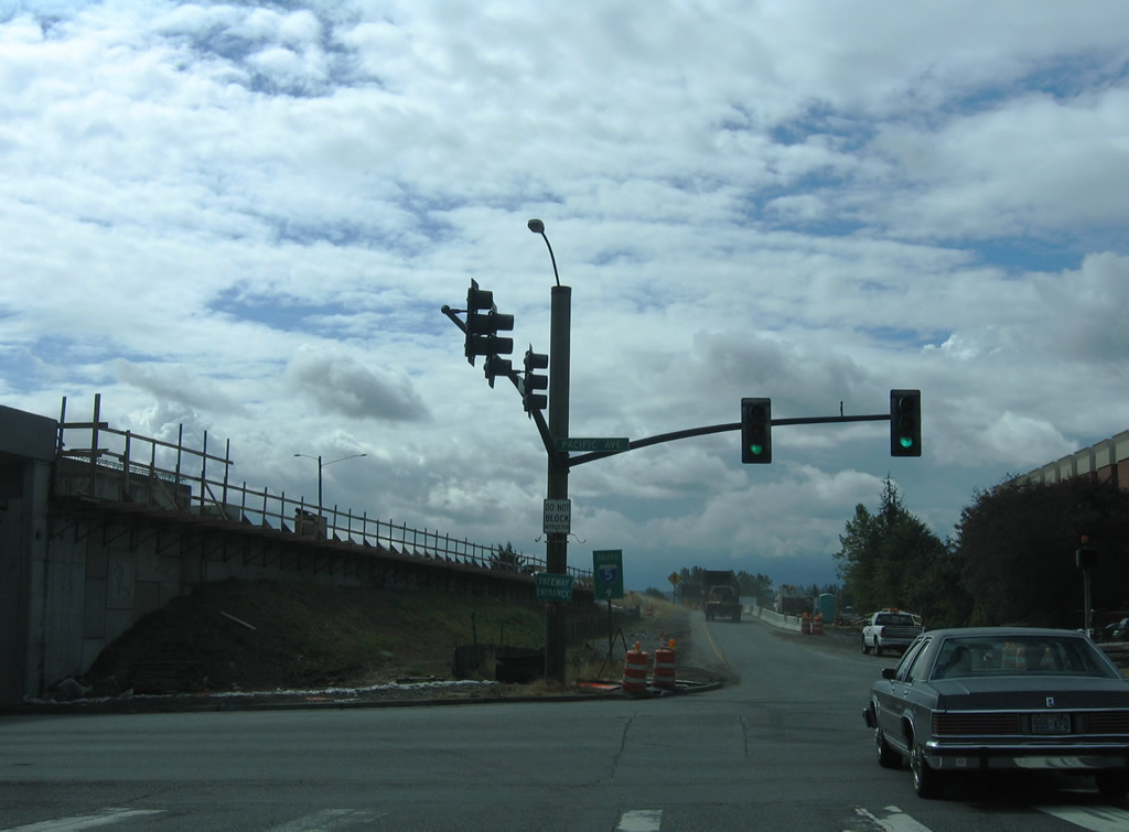
U.S. 2 westbound splits into ramps for Walnut Street north, Interstate 5 south and California Street west to Maple Street.
08/30/06

SR 529 (Maple Street) meets the eastbound beginning of U.S. 2 at Hewitt Avenue. The western branch of U.S. 2 travels 2,119 miles between Everett and St. Ignace, Michigan. The eastern branch of U.S. 2 runs between Rouses Point, New York and Houlton, Maine.
08/30/06
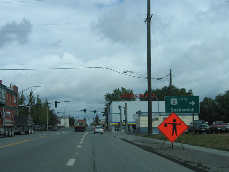
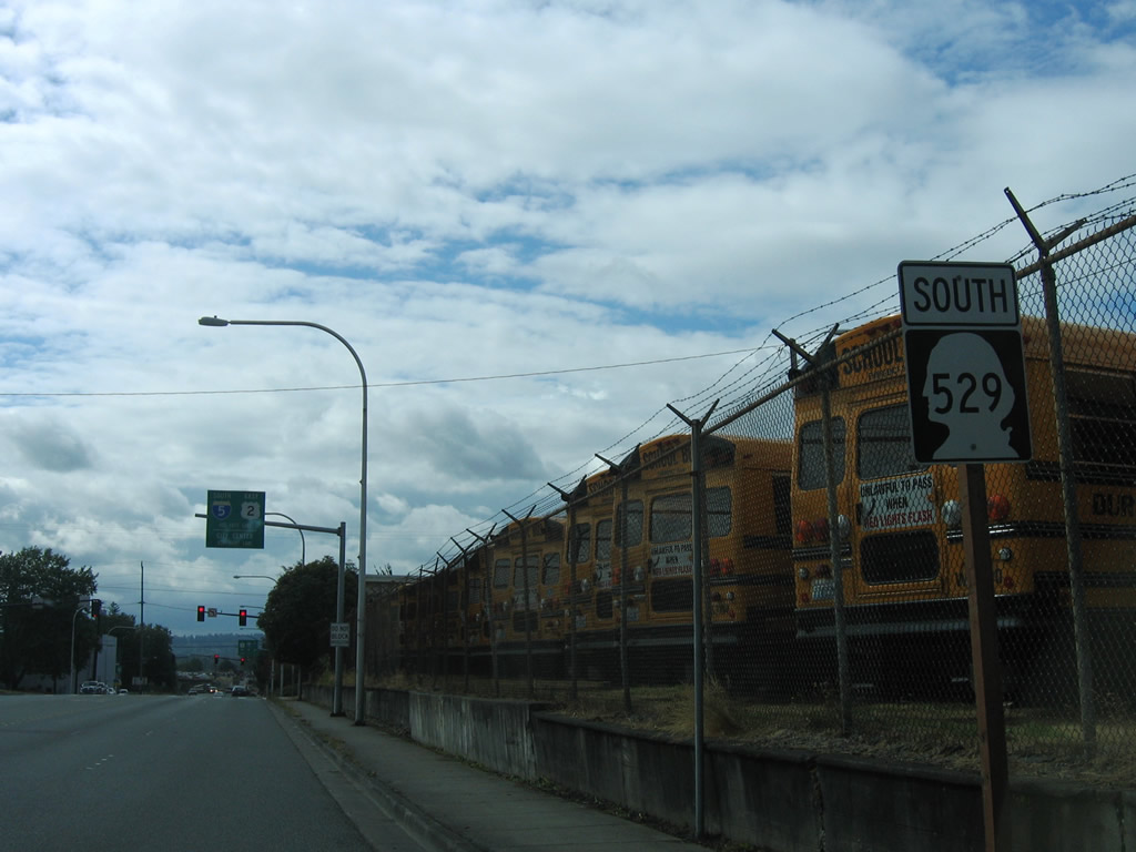
U.S. 2 heads east 2.75 miles to SR 204 at Cavalero Corner and south to Snohomish. Within Washington, U.S. 2 travels 326.36 miles between Everett and Newport.
08/30/06
SR 529 ends at the entrance ramp to Interstate 5 south from Pacific Avenue and Maple Street.
08/30/06
Spur - East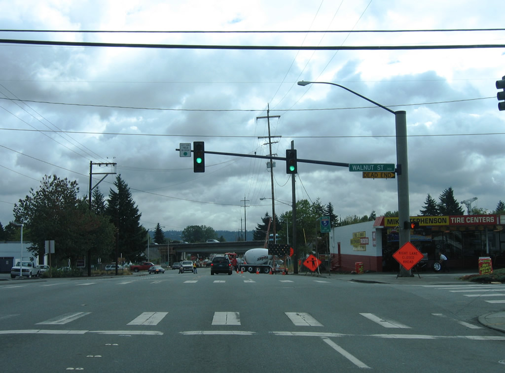
Everett Avenue (SR 529 Spur) at Walnut Street, one block east of SR 529 (Maple Street).
08/30/06
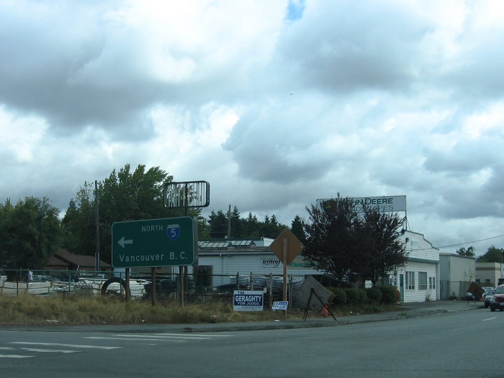
The 0.20 mile long route of SR 529 Spur concludes at the northbound entrance ramp for Interstate 5 to Mt. Vernon, Bellingham, and Vancouver, British Columbia.
08/30/06
Everett Avenue continues another 0.2 miles beyond Interstate 5 and SR 529 Spur to E Grand Avenue.
08/30/06
Photo Credits:
- AARoads: 08/30/06
Connect with:
Page Updated Wednesday October 13, 2010.