
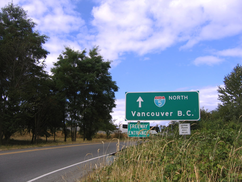
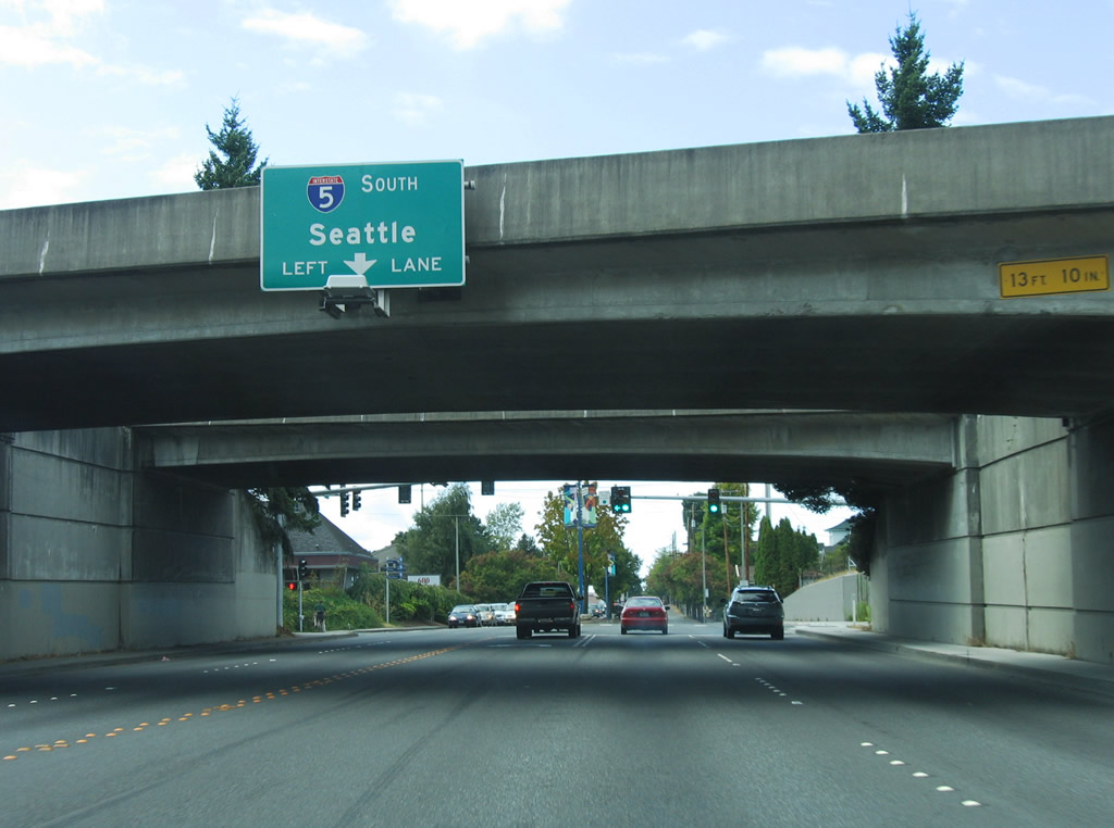
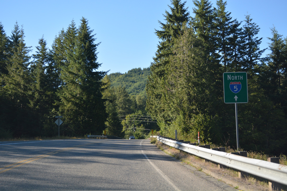
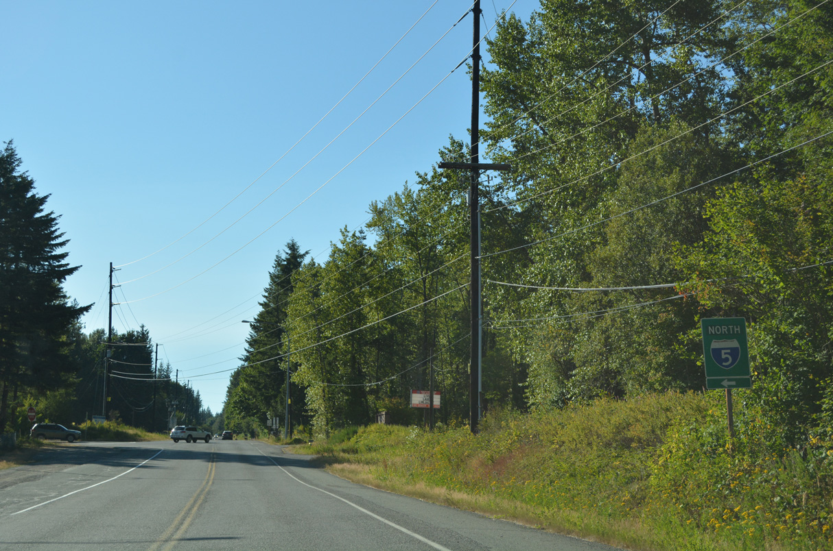
Interstate 5
At 276.62 miles in length, Washington's portion of Interstate 5 is the shortest. Interstate 5 in the Evergreen State stretches from Vancouver, part of the Portland metropolitan area, in the south to the U.S.-Canadian border at Blaine in the north. In between, Interstate 5 travels through the roughly 80 mile long urban corridor from Olympia to Everett which is home to nearly two-thirds of the state's population. It is fair to say that the majority of Washington residents live close to this important freeway. Interstate 5 replaced the routing of U.S. 99 in most of the state. Unlike California and Oregon, which each kept large portions of the original U.S. 99 as state routes, only a very small section of the old US highway was designated as a state route in Washington.
Interstate 5 Washington Guides
Business Routes
North
Vancouver to Woodland - 60 photos
Kalama to Castle Rock - 48 photos
Vader to Centralia - 63 photos
Grand Mound to Olympia - 64 photos
DuPont to Tacoma - 70 photos
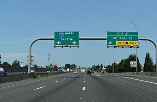
Federal Way to Seattle - 73 photos
Seattle to Shoreline - 60 photos
Lynwood to Everett - 66 photos
Arlington to Mount Vernon - 68 photos
Bellingham to Blaine - 67 photos
South
Blaine to Bellingham - 55 photos
Mount Vernon to Arlington - 60 photos
Everett to Lynnwood - 62 photos
Shoreline to Seattle - 68 photos
Seattle to Federal Way - 57 photos
Tacoma to DuPont - 66 photos
Olympia to Grand Mound - 58 photos
Centralia to Vader - 55 photos
Castle Rock to Kalama - 45 photos
Woodland to Vancouver - 36 photos
 Business Loop I-5 - Castle Rock
follows Historic U.S. 99
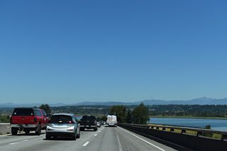
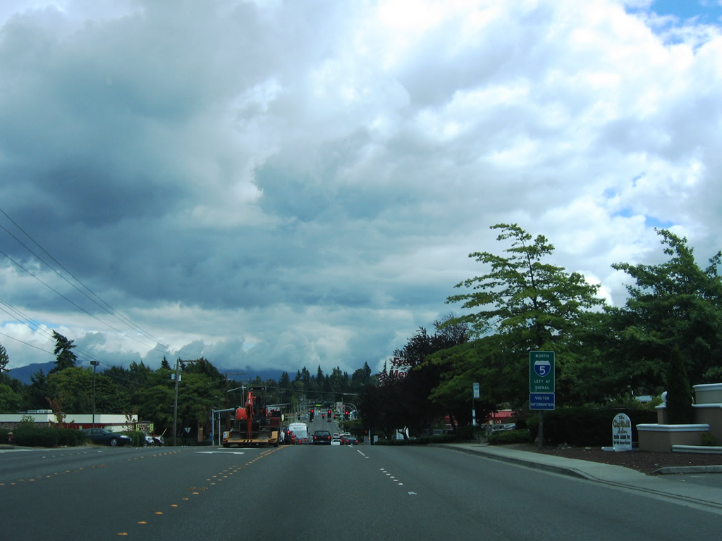
Interstate 5 curves east from Exit 105 and the State Capitol area and passes under Eastside Street SE in this scene from the 14th Avenue SE overpass. - 09/02/2006
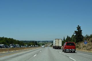
Interstate 5 at Exit 46 (Headquarters Road) near Castle Rock. - 09/02/2006
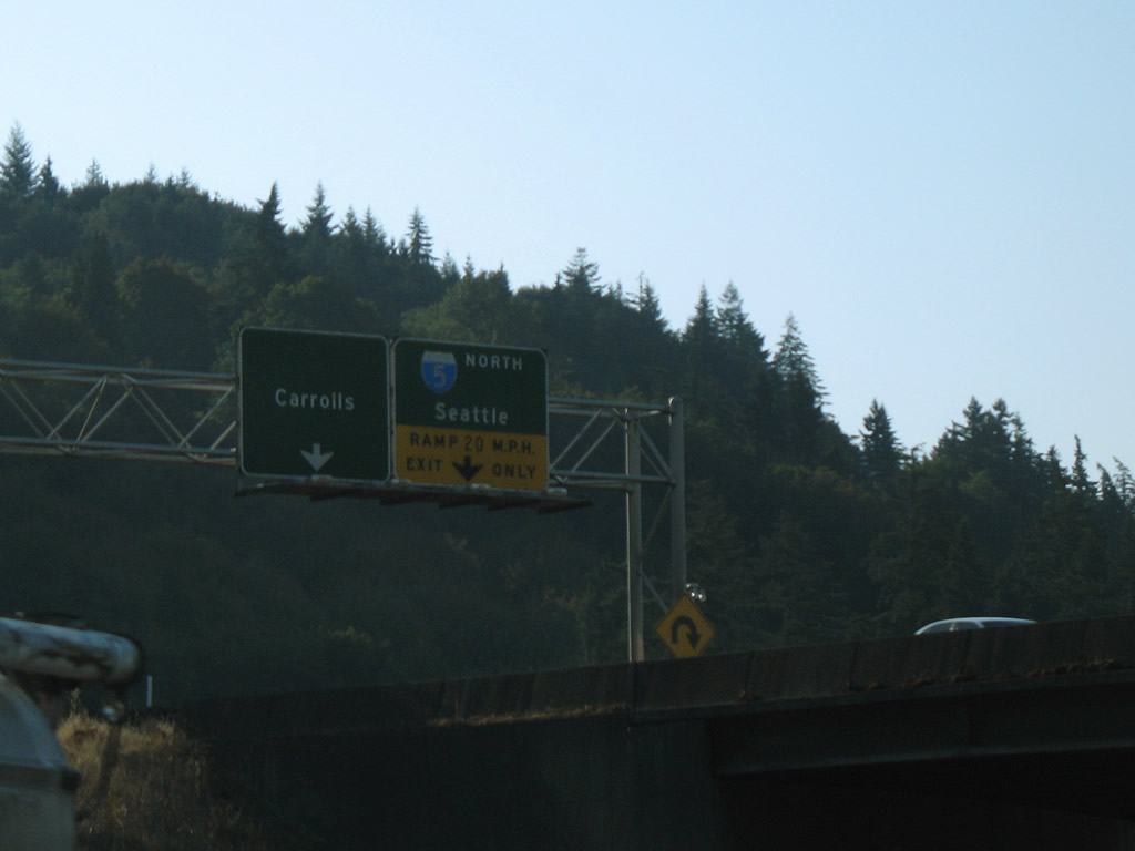
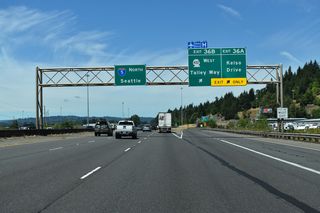
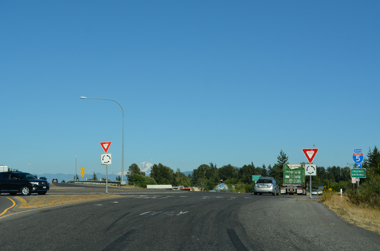
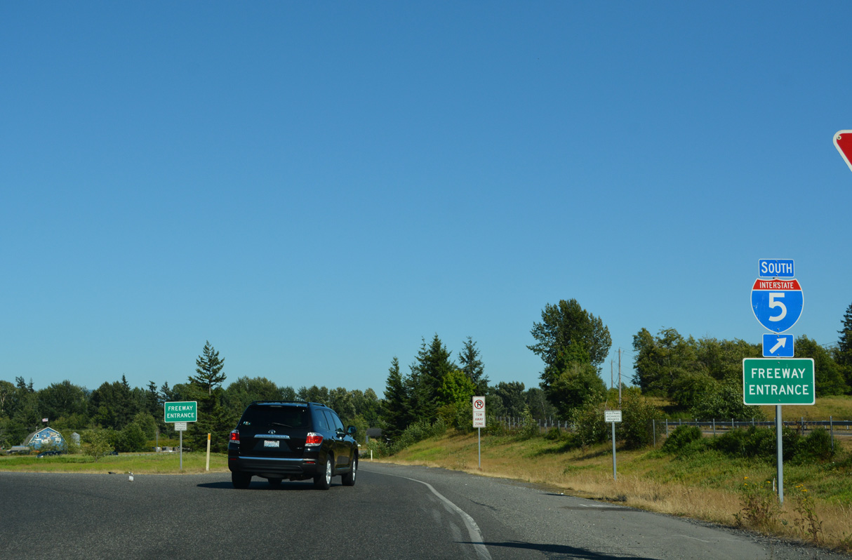
Looking upwards from Interstate 5 southbound at the eastbound conclusion of SR 432 (Exit 36). SR 432 constitutes an expressway spur west to Longview from Interstate 5. Old Pacific Highway (former U.S. 99) stems southeast from the three-quarter cloverleaf interchange to Carrolls.
09/02/06
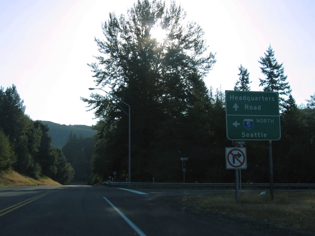
Headquarters Road eastbound at the diamond interchange (Exit 46) with I-5. Headquarters Road meanders northeast from Pleasant Hill Road and Interstate 5 to Silver Lake Road, south of SR 504.
09/02/06
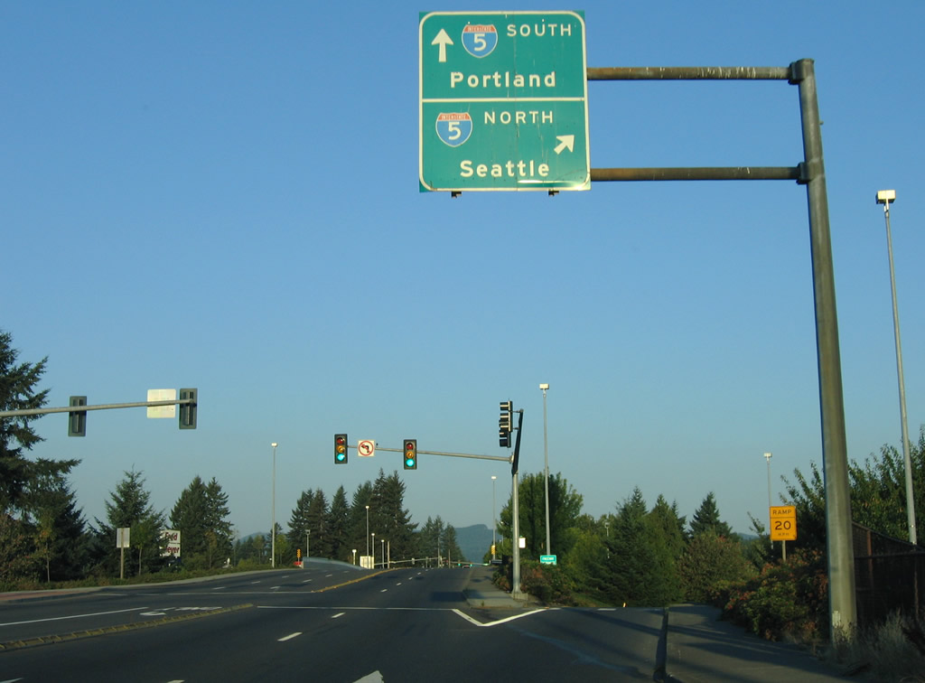
Trosper Road westbound at the parclo interchange (Exit 102) with I-5. U.S. 99 utilized Trosper Road between Capitol Boulevard and Interstate 5 south from Exit 102 for a period of time during the 1950s. The freeway north from Trosper Road opened jointly as I-5 and U.S. 99 in 1958.1
09/02/06
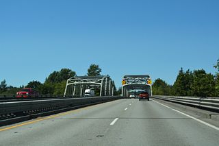
Bow Hill Road eastbound within the diamond interchange at Exit 236.
08/30/06
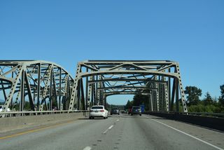
Bow Hill Road leads west from Old U.S. 99 and Jarman Prairie to meet Interstate 5 at the Upper Skagit Indian Reservation. I-5 heads north to Bellingham and south to Mount Vernon.
08/30/06
Bow Hill Road west at the entrance ramp for Interstate 5 south to Everett and Seattle. Bow Hill Road continues beyond I-5 to Bow and SR 11 (Chuckanut Drive).
08/30/06
Direct ramps link Lakeview Drive with Interstate 5 south. Connections to I-5 north require a turn onto King Street to ramps at Potter Street.
08/30/06
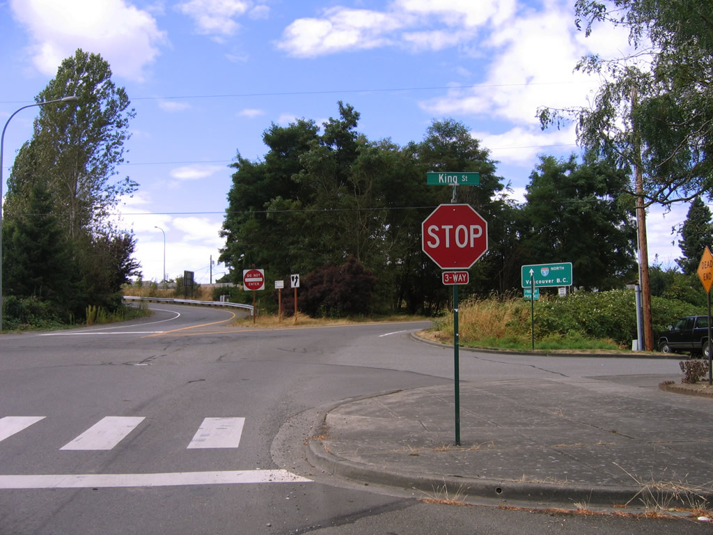
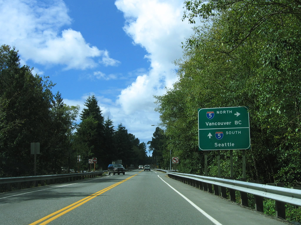
Potter and King Streets intersect opposite the northbound on and off-ramps to Interstate 5 at Exit 253.
08/30/06
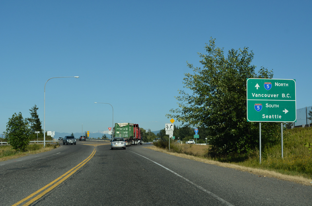
Interstate 5 northbound freeway entrance from the Potter Street enrance ramp in Bellingham. The freeway ends in 23 miles at Blaine.
08/30/06
Lakeway Drive, in Bellingham, passes under Interstate 5 (Exit 253) and approaches the southbound on-ramp to Mt. Vernon and Seattle.
08/30/06
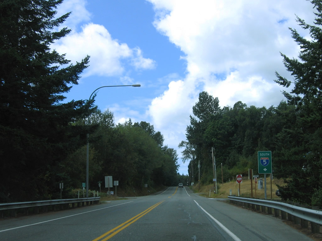
Samish Way stems north from Lake Samish Drive between the RIRO ramps with Interstate 5 at Exit 246.
07/19/23
Samish Drive (Old U.S. 99) heads northwest from the exchange with I-5 to Lake Padden and Lake Padden Park. The two routes come together again in Mount Vernon at Exit 252.
07/19/23
Slater Road (former SR 540) east at the dumbbell interchange (Exit 260) with Interstate 5 on the south side of Ferndale.
07/19/23
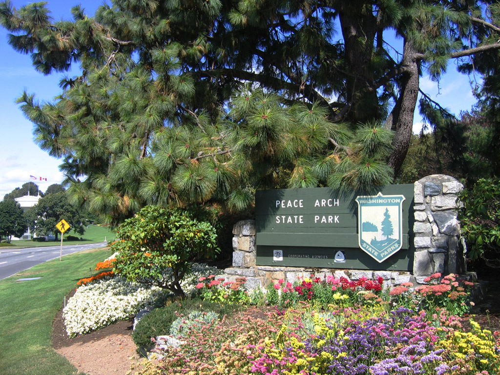
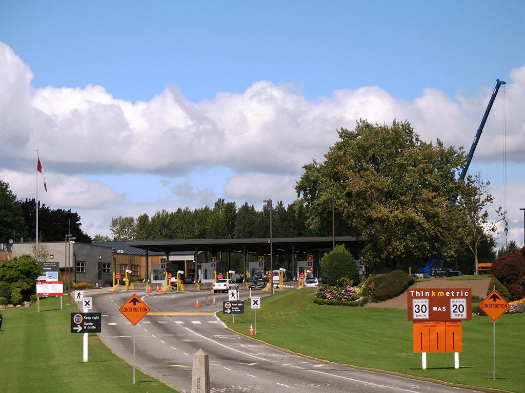
Northbound travelers remaining along Interstate 5 beyond Exit 276 enter Peace Arch State Park. The speed limit remains 35 miles per hour, and this small park is located between the two customs stations (one for the United States, the other for Canada). Pedestrians are permitted to walk across the highway to view the Peace Arch (which is visible in the background), and a crosswalk cuts across the northbound lanes between the state park parking area and the arch.
08/30/06
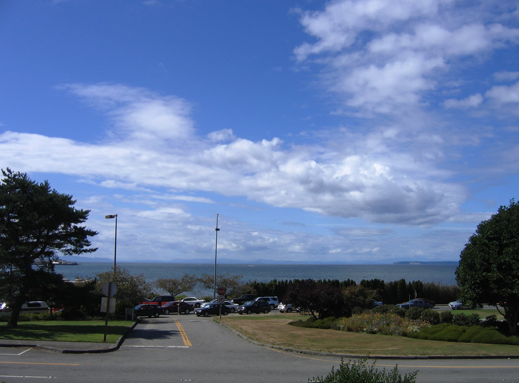
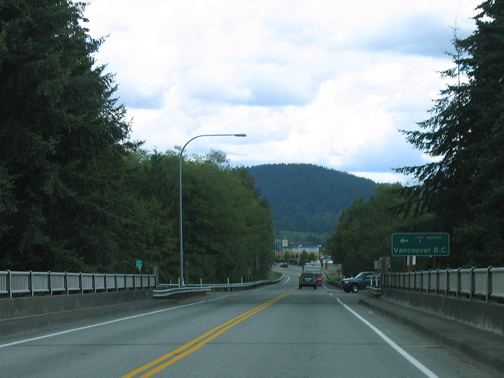
Tongue Point at the end of Semiahmoo Spit appears in view from Peace Arch State Park. Waters of the Strait of Georgia and mountains of Vancouver Island rise beyond the waters of Semiahmoo Bay. A short official use only access road connects the north and southbound roadways of the road between Interstate 5 and B.C. 99.
08/30/06
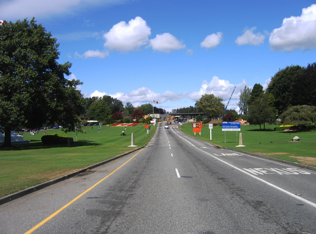
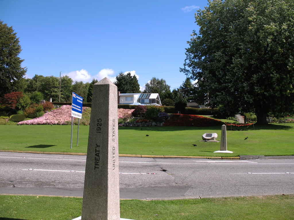
Stone monuments along each side of the connecting highway between Interstate 5 and British Columbia 99 indicate the border between the United States and Canada. "Treaty of 1925" and "International Boundary" are inscribed into the two granite monuments as well as the names of the two countries. The Peace Arch falls along the International border within the grassy median.
08/30/06
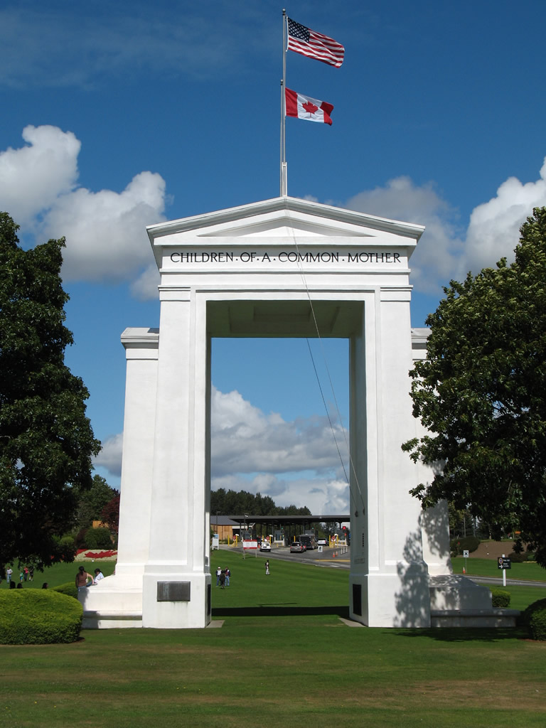
Situated midway between the roadways of Interstate 5 / B.C. 99, the Peace Arch rises dramatically between two trees on the International border. The arch acts as a large doorway, connecting the United States and Canada. The phrase "Children of a Common Mother" refers to the history of both countries once belonging to the British Empire.
08/30/06
Motorists continuing beyond the border monuments enter the Canadian customs station. Beyond the facility is the beginning the B.C. 99 freeway and city of White Rock. Prior to the mid-1960s, the numerical designation between the U.S. and Canadian routes was the same: U.S. 99 and B.C. 99. Despite the renumbering of U.S. 99 as I-5, British Columbia retained 99.
08/30/06
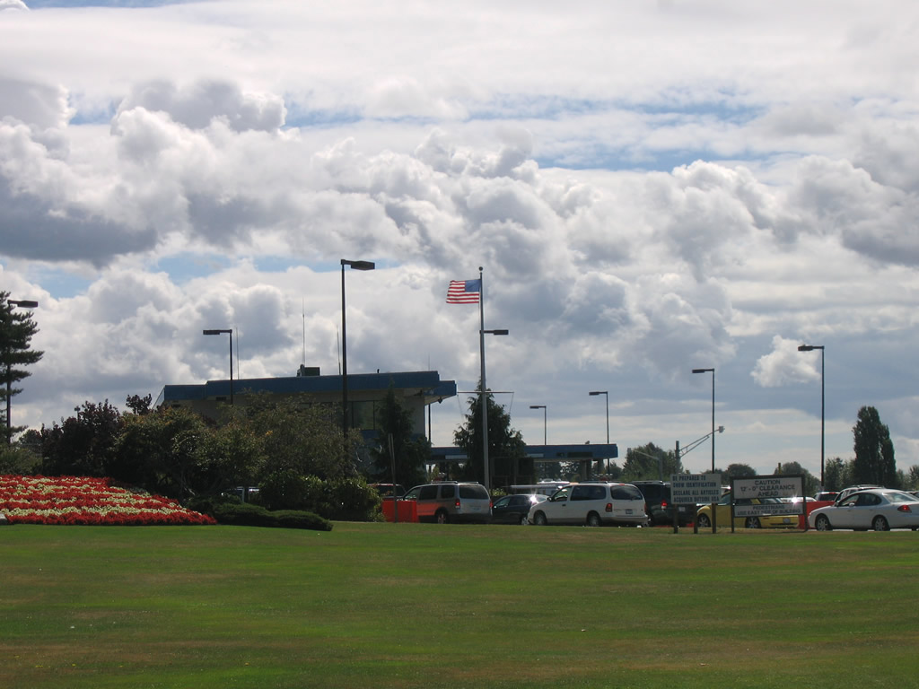
The U.S. Customs Station is located along the road connecting B.C. 99 with Interstate 5 southbound after the international border adjacent to Peace Arch State Park.
08/30/06
References:
- US 99 Trunk (Mark Bozanich). http://www.angelfire.com/wa2/ hwysofwastate/us099trunk.html
Photo Credits:
- AARoads: 08/30/06, 09/02/06
- Brent Ivy: 07/19/23
Connect with:
Page Updated Friday October 03, 2025.