
State Route 548
Washington State Route 548 comprises a 13.85 mile long route south from Interstate 5 at Blaine to Birch Bay and east from the BP Cherry Point Refinery to I-5 near Ferndale.
The state route follows Grandview Road west from Exit 266 to a roundabout with Blaine Road. Blaine Road leads the route north to the community of Birch Bay and to the city of Blaine. SR 548 crosses Dakota Creek along Bell Road and then shifts onto Peach Portal Drive, the historic alignment of U.S. 99, northwest along Drayton Harbor to the Blaine city center. The north end connects with I-5 at a dumbbell interchange between Blaine Harbor and D Street south of Peach Arch Historical State Park.
2nd Street south connects Peach Arch Historical State Park with SR 548 / D Street at the exchange with Interstate 5.
07/19/23
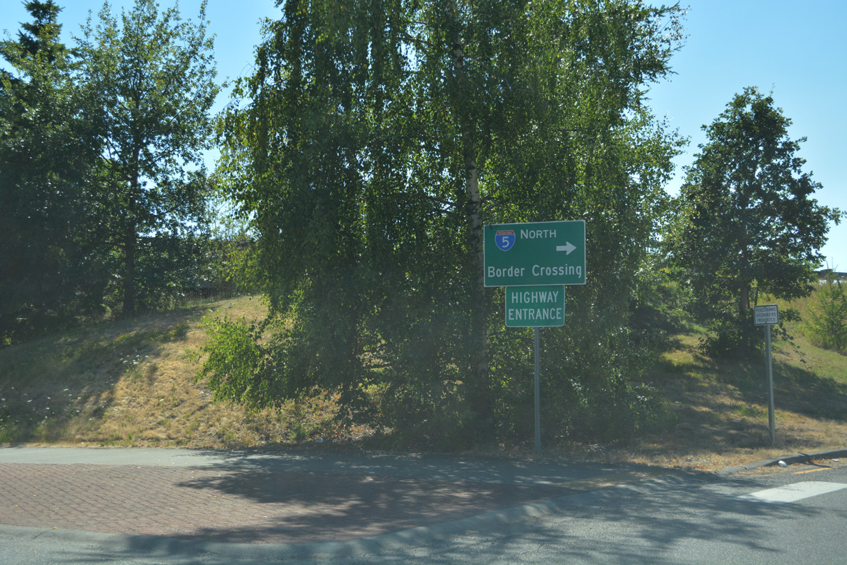
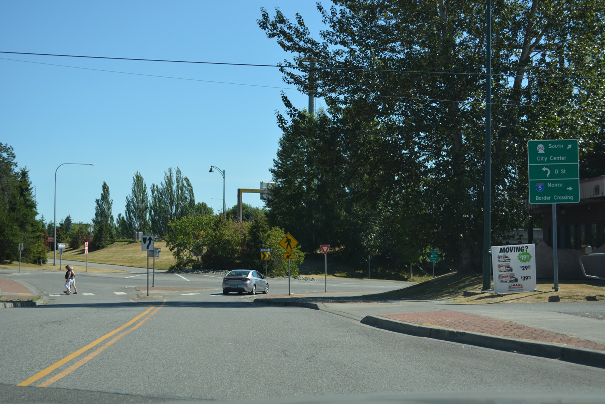
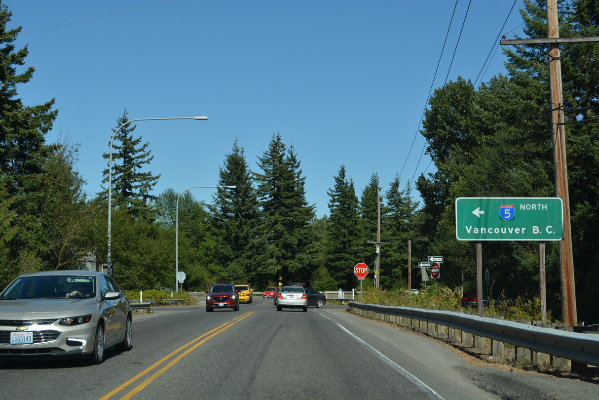
A roundabout where SR 548 southbound begins joins 2nd and D Streets with the northbound ramps along Interstate 5. The entrance ramp for I-5 north leads to the Canadian customs and immigration station.
07/19/23
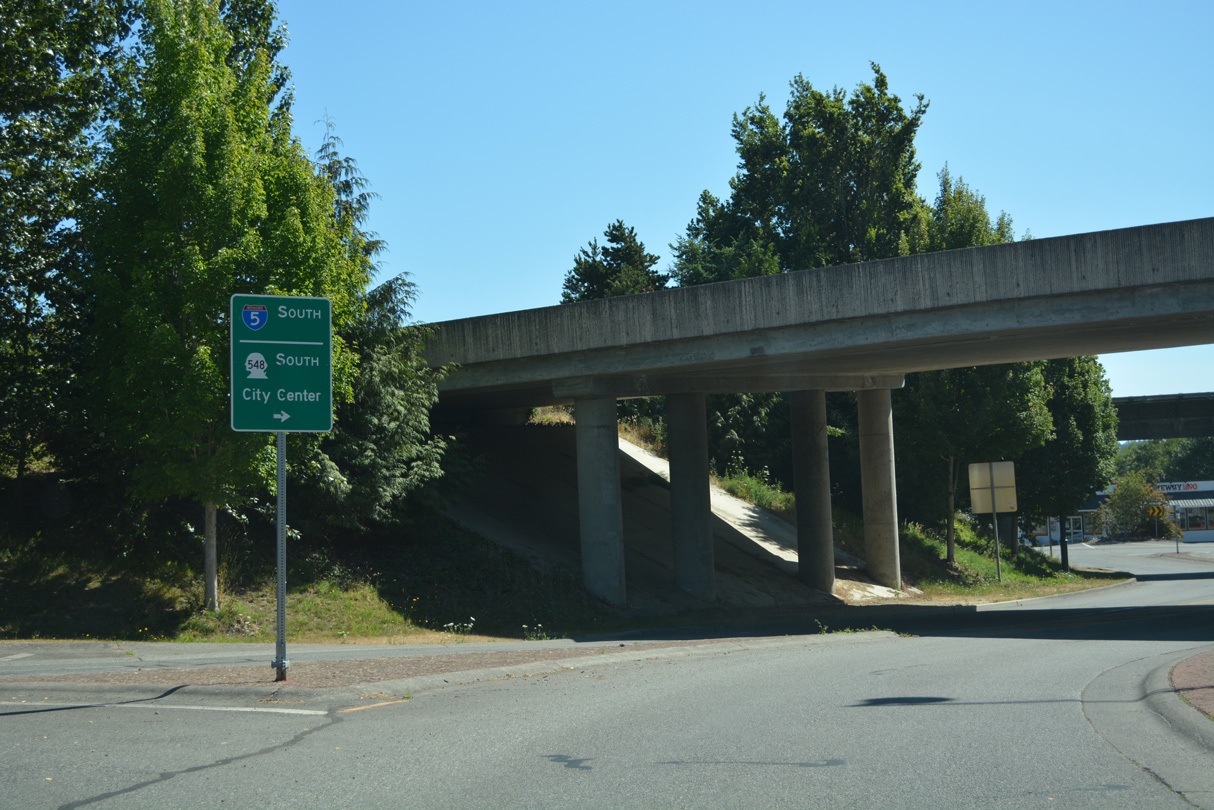
SR 548 continues through the dumbbell interchange (Exit 276) with I-5 to the roundabout with the southbound ramps.
07/19/23
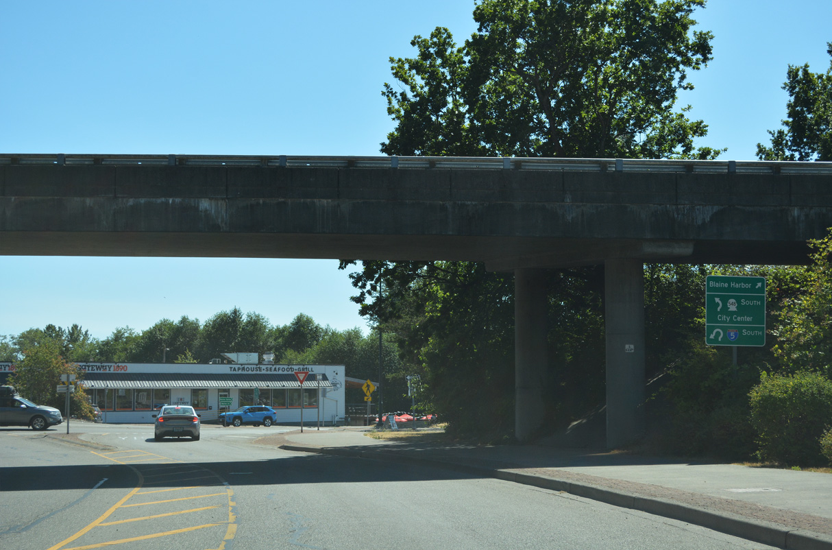
Marine Drive stems west from the roundabout with the southbound ramps along I-5 to Blaine Harbor. I-5 commences south from the end of British Columbia Highway 99 at the Peace Arch.
07/19/23
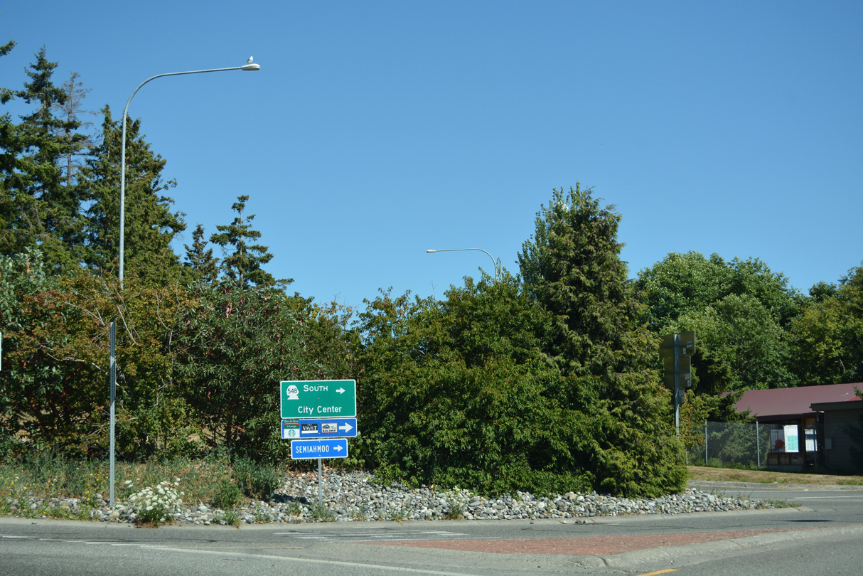
SR 548 follows Peace Portal Drive (Old U.S. 99) south from the roundabout with I-5 southbound and Marine Drive to the Blaine city center.
07/19/23
Interstate 5 travels south from Blaine to Bellingham, Everett and Seattle.
07/19/23
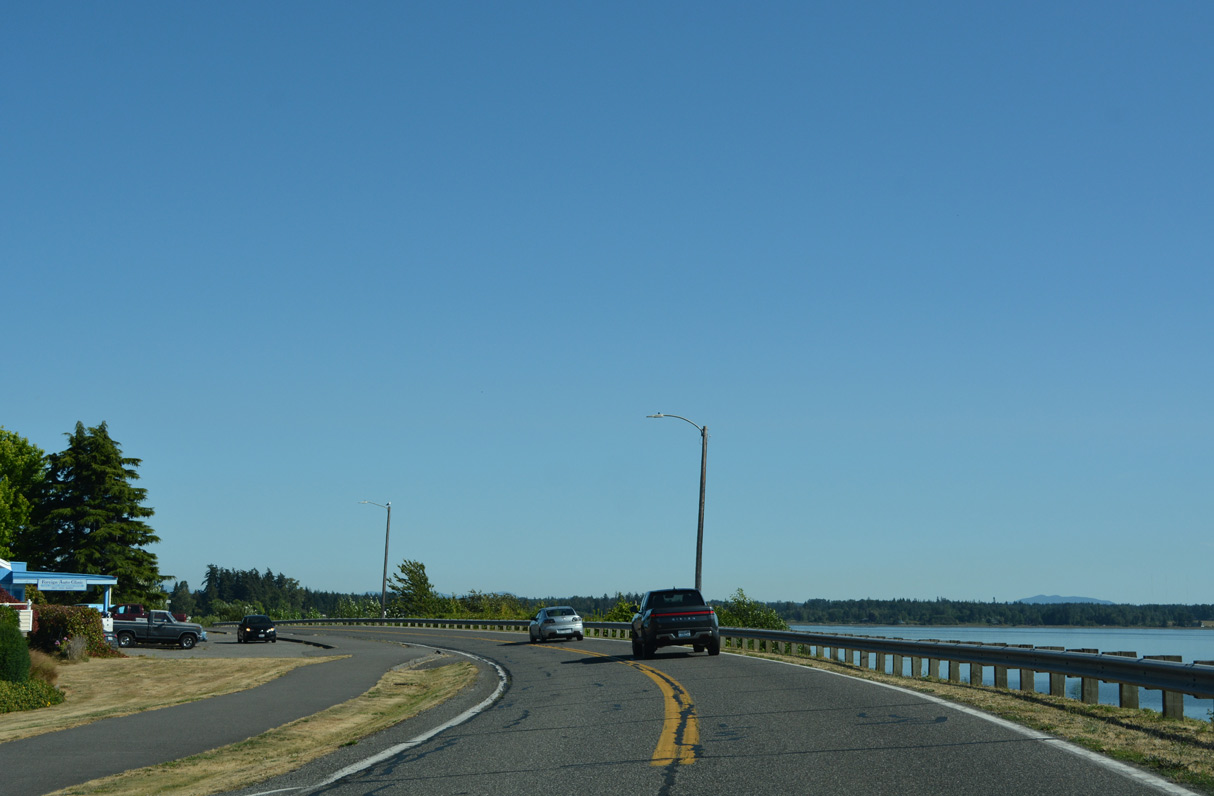
SR 548 (Peace Portal Drive) continues south from the Blaine city center along Drayton Harbor.
07/19/23
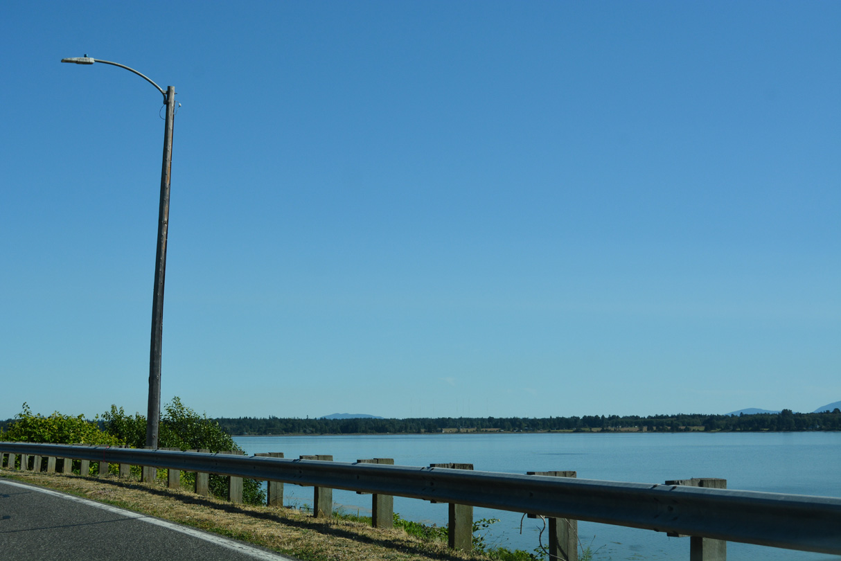
The south shore of Drayton Harbor stretches west to Semiahmoo Spit. Out of view along Peace Portal Drive is the parallel BNSF Railroad line running adjacent to the shoreline.
07/19/23
Since replaced, the first in a series of trailblazers for Interstate 5 posted along SR 548 (Peace Portal Drive) in Blaine precedes 4th Street.
07/19/23
Peace Portal Drive east at Blaine Avenue, adjacent to Georgia Street.
07/19/23
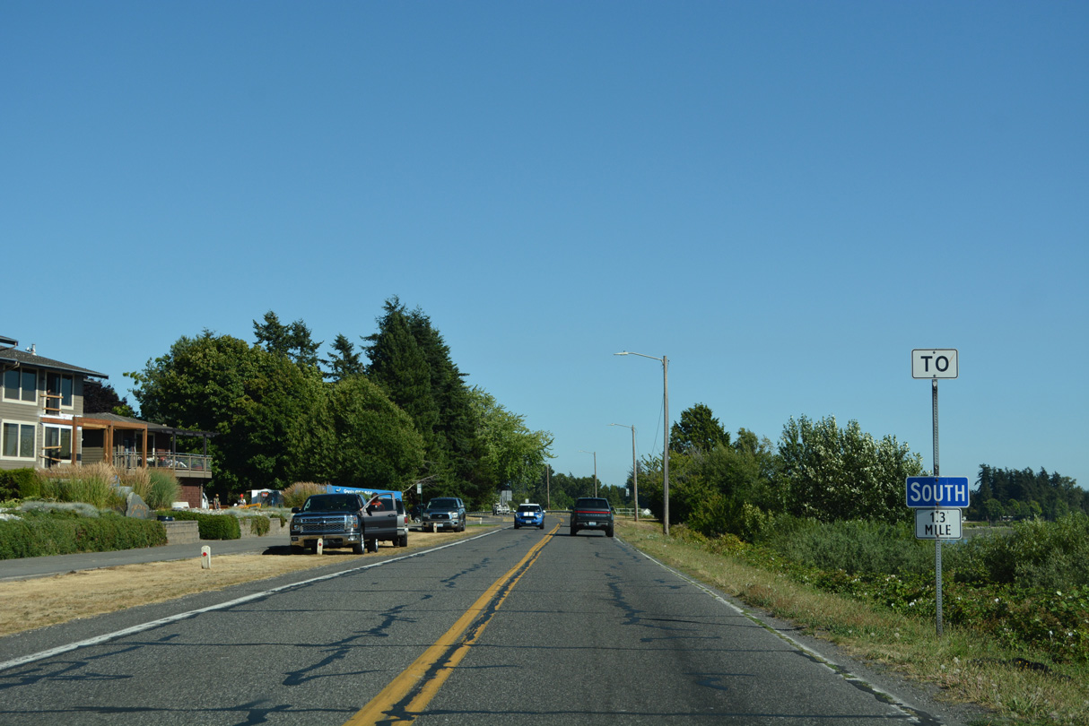
0.9 miles from Interstate 5 on SR 548 (Peace Portal Drive) south at Mitchell Avenue.
07/19/23
Hughes Avenue intersects SR 548 (Peace Portal Drive) 0.4 miles from the entrance ramp to Interstate 5 southbound.
07/19/23
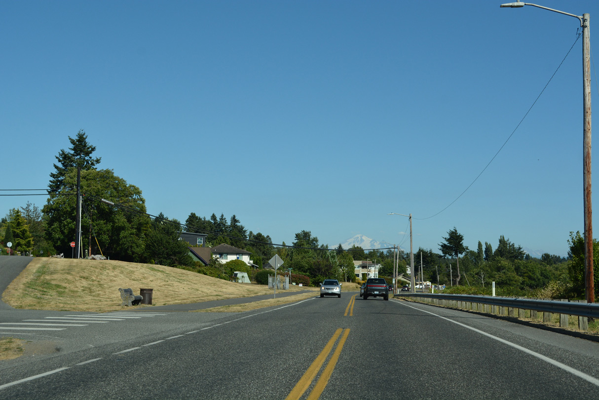
SR 548 turns south from Peace Portal Drive (Historic U.S. 99) onto Bell Road. Bell Road takes the route across nearby Dakota Creek onto Blaine Road south to Birch Bay.
07/19/23
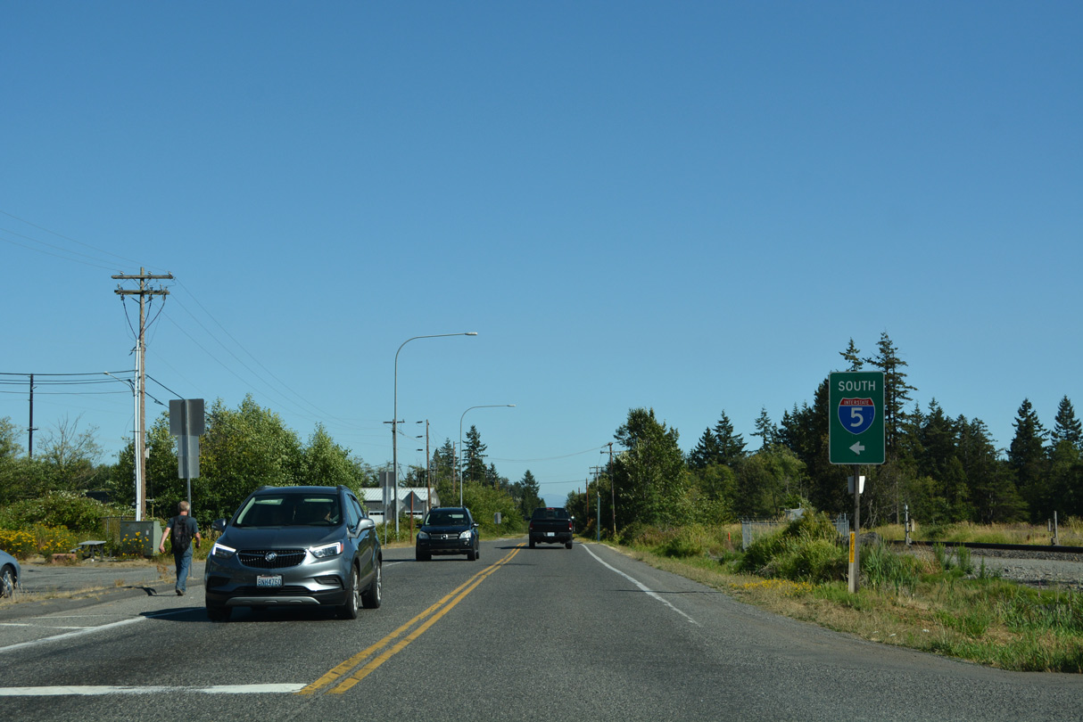
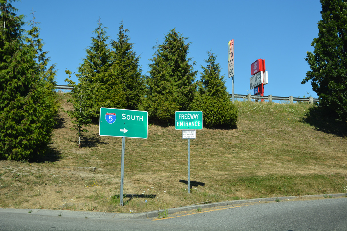
The ramps at the wye interchange (Exit 274) joining Peace Portal Drive with I-5 southbound and from the freeway northbound lie just south of SR 548 (Bell Road).
07/19/23
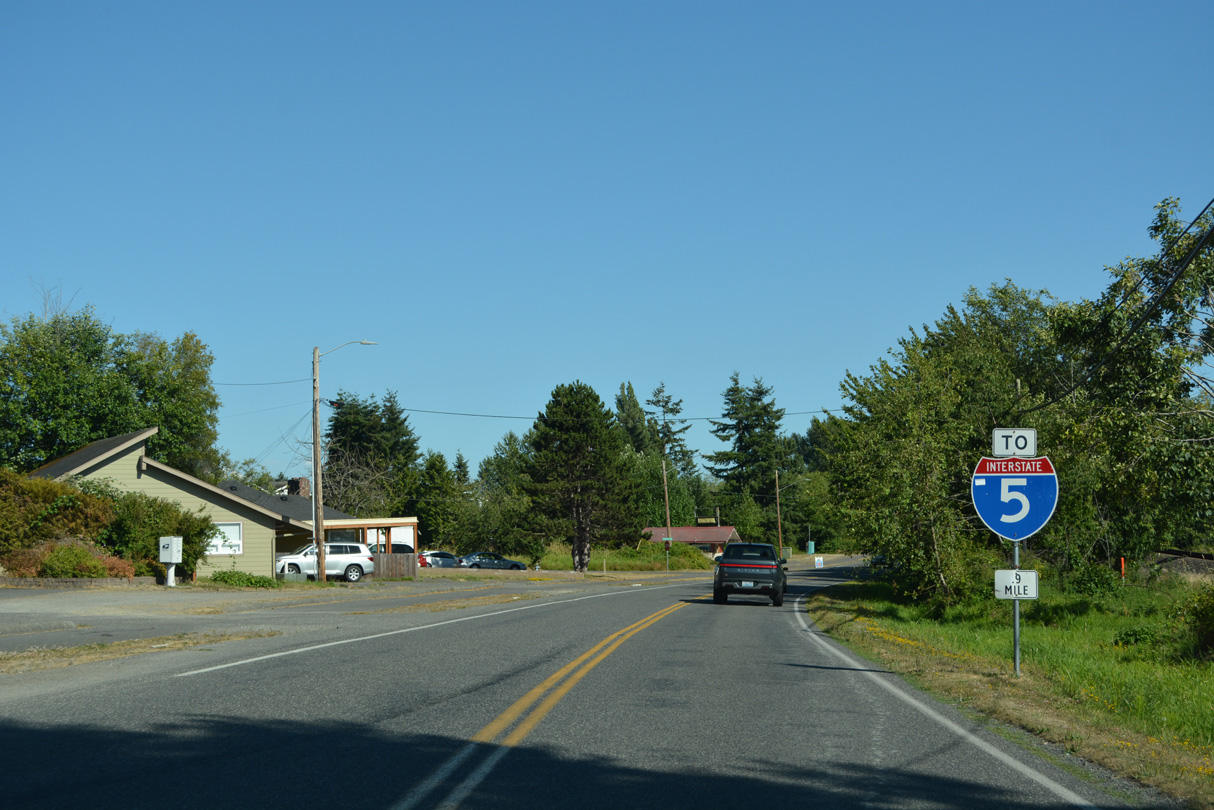
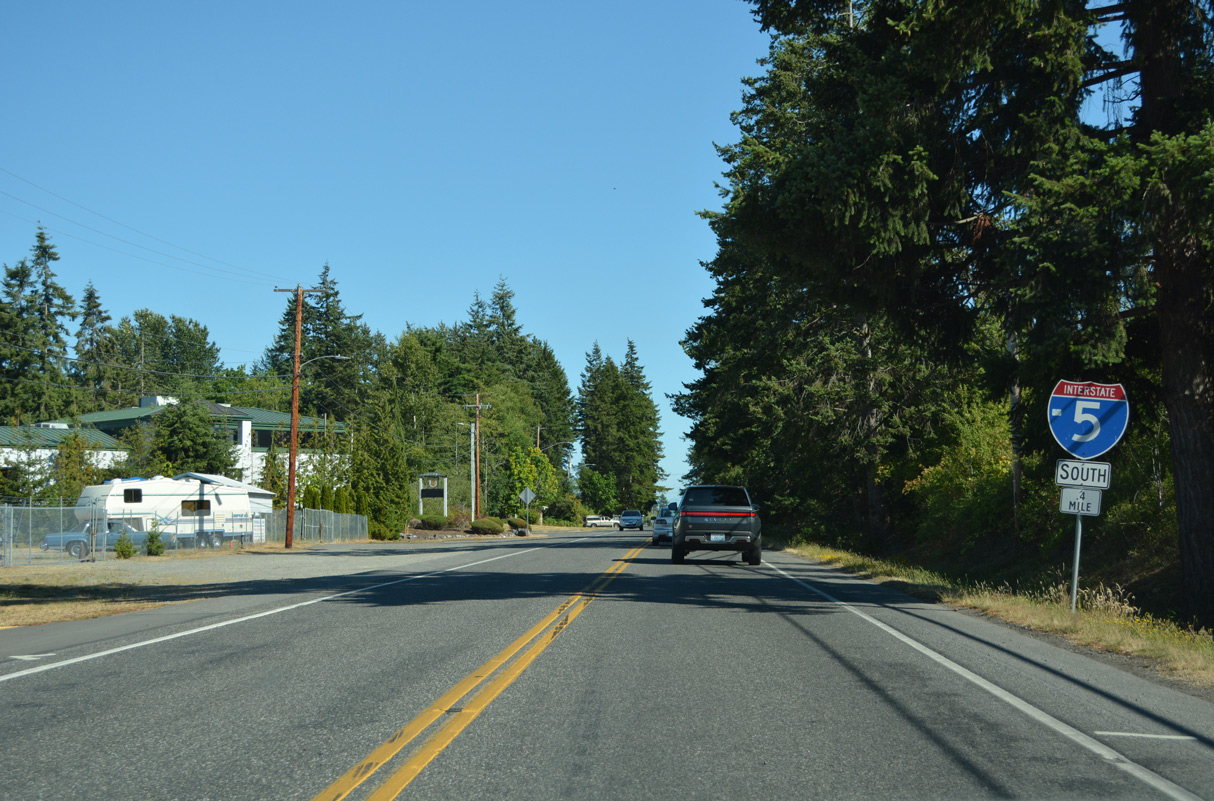
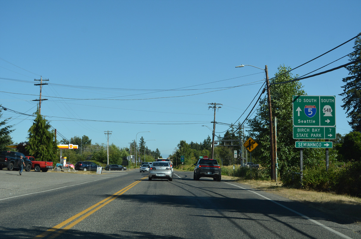
SR 548 concludes east along Grandview Road at a diamond interchange (Exit 266) with Interstate 5 in north Ferndale.
07/19/23
Photo Credits:
- Brent Ivy: 07/19/23
Connect with:
Page Updated Saturday September 06, 2025.