
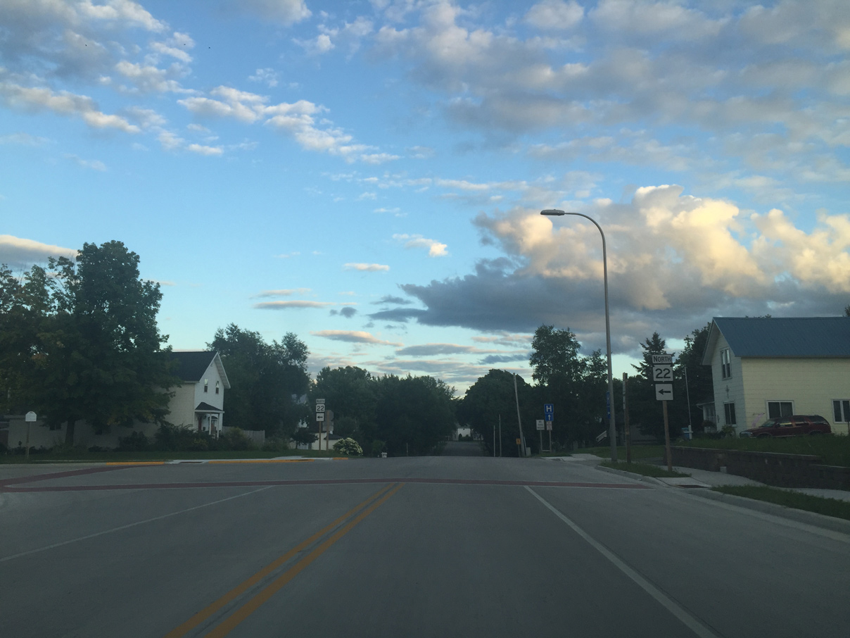
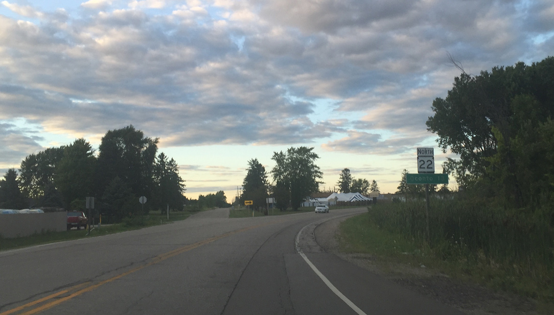
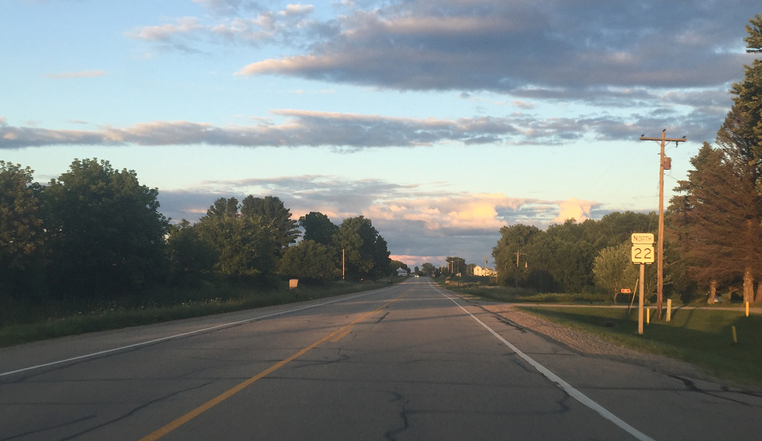
State Trunk Highway 22 North - Oconto County
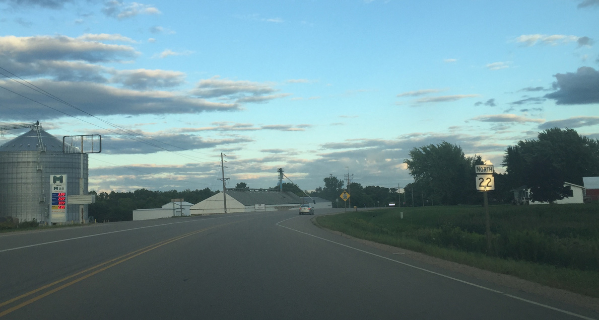
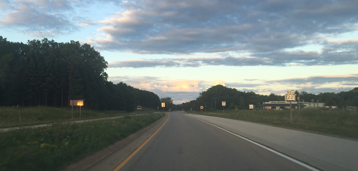
Wis 22 sign posted after County B and ahead of Oconto Falls.
08/05/16
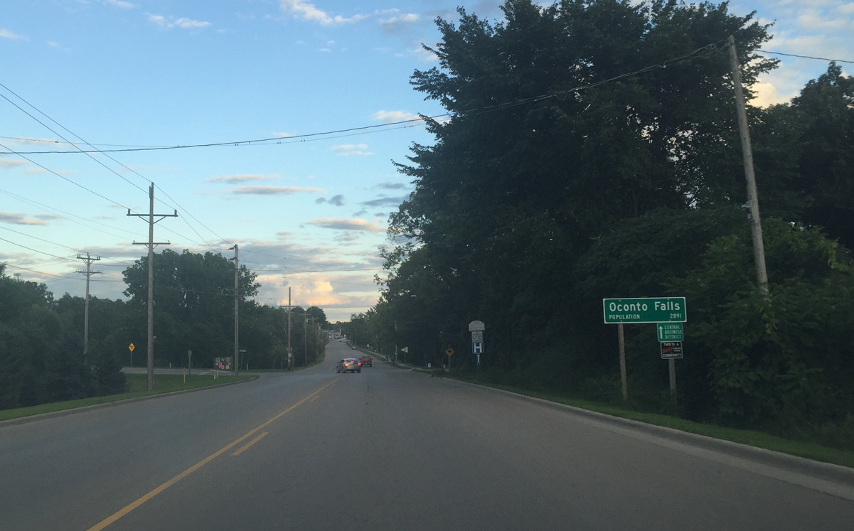
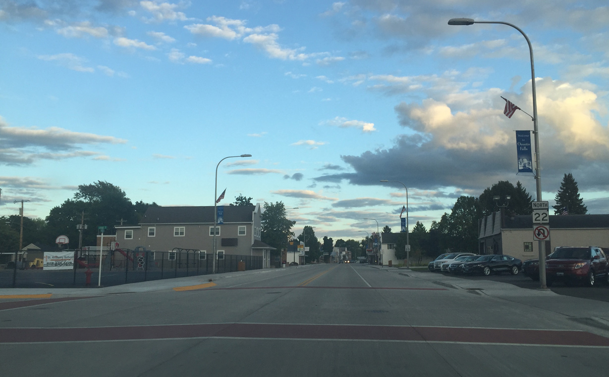
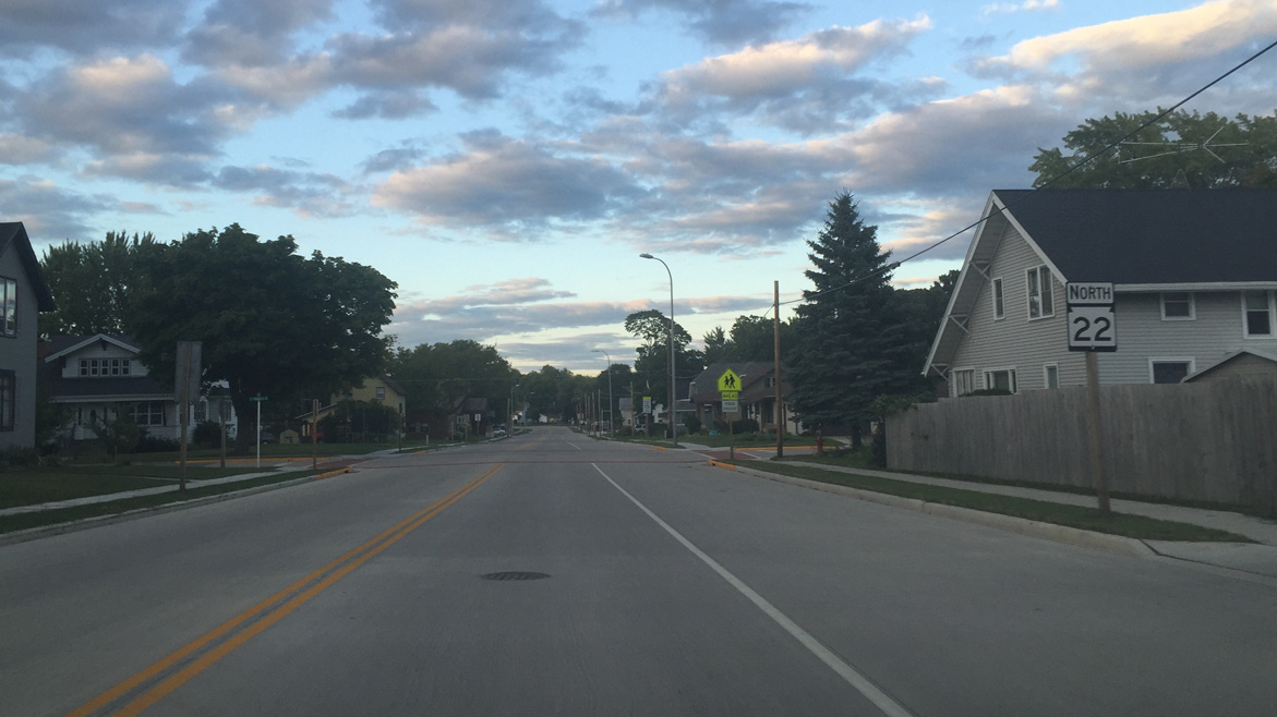
Entering Oconto Falls on Wis 22 (N Main Street). The upcoming street is Highland Drive, which acts as a de facto northerly bypass of Downtown Oconto Falls. It ends at Wis 22 on the east end of the city.
08/05/16
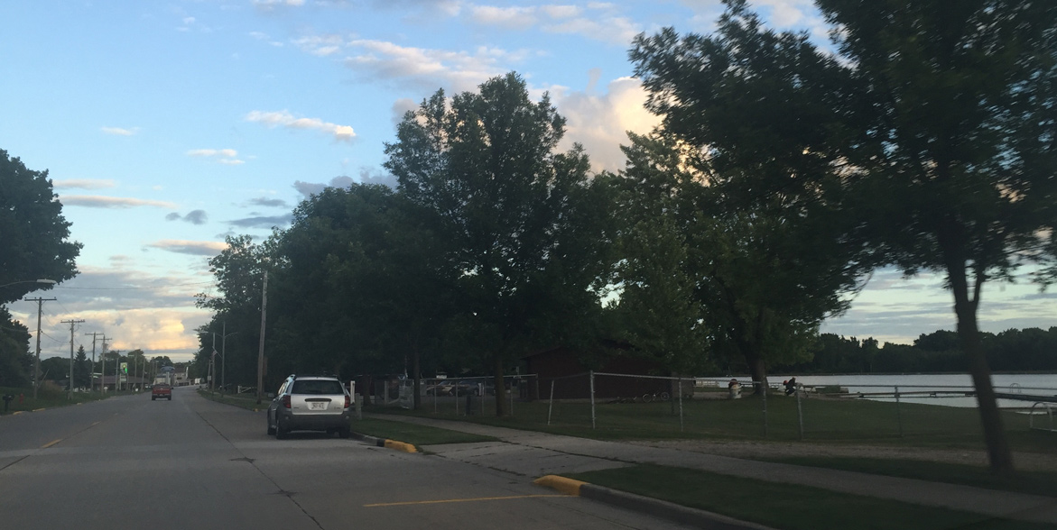
A beach along the Oconto Falls Millpond. A hydroelectric dam forms the pond along the Oconto River.
08/05/16
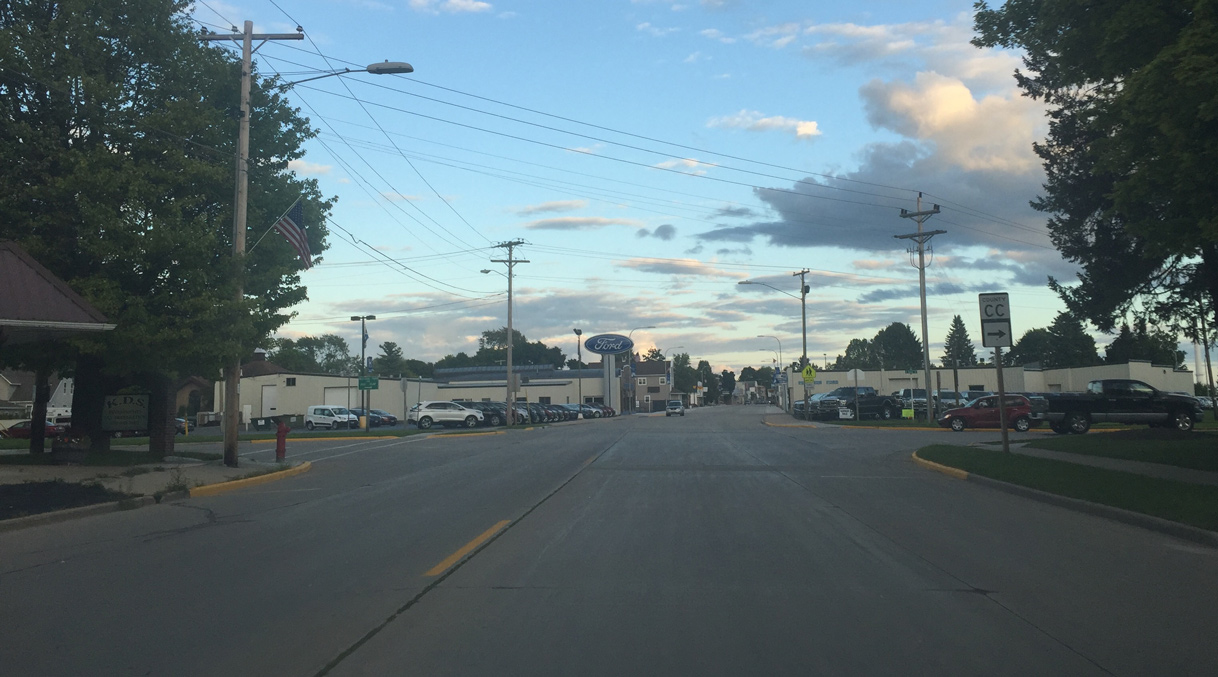
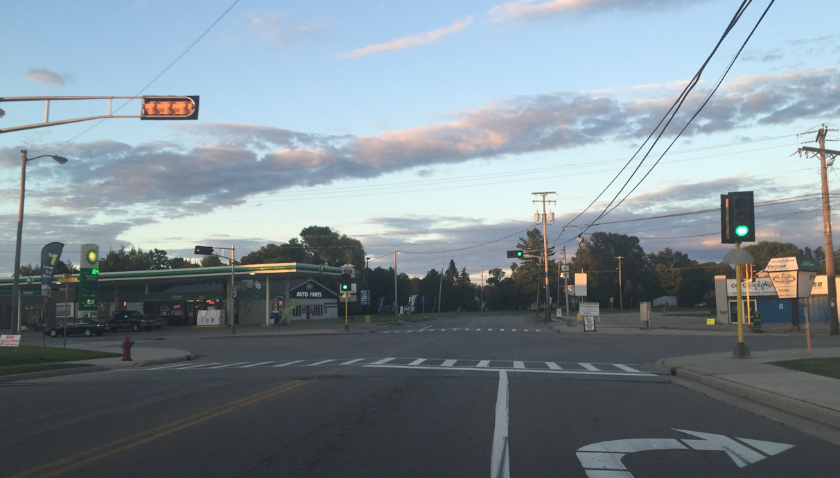
CTH CC (Maple Avenue) ends at Wis 22 (Main Street) opposite Market Street. CTH CC leads west from Oconto Falls 5.8 miles to Wis 32.
08/05/16
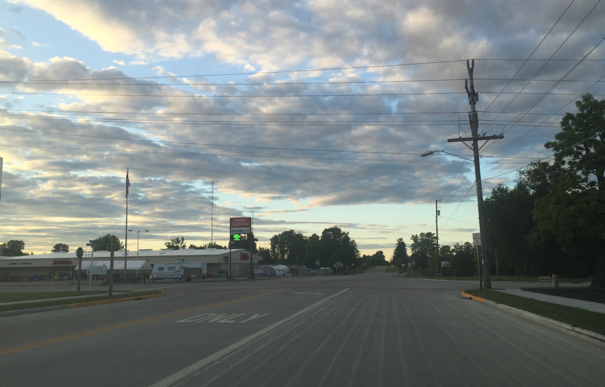
Wis 22 enters Downtown Oconto Falls beyond County CC (Maple Avenue). Entering Downtown. Main Street was reconstructed in 2015.
08/05/16
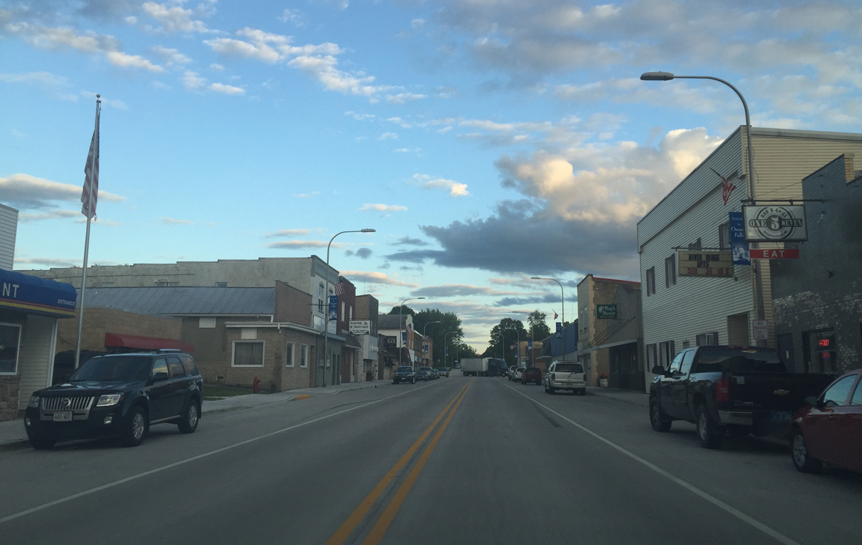
Main Street and Calwell Avenue in Downtown Oconto Falls.
08/05/16
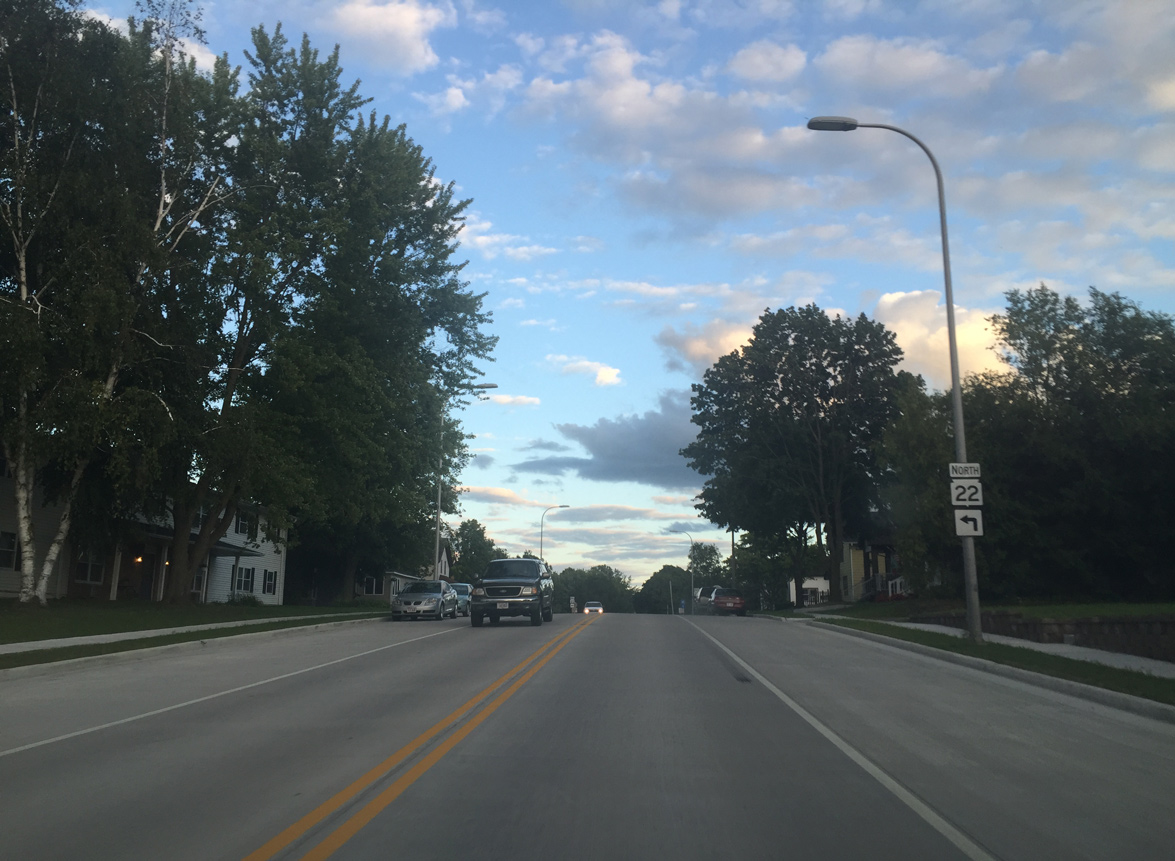
Wis 22 makes a 90 degree turn from S Main Street onto Union Avenue ahead.
08/05/16
Main Street extends southeast to County I (Town Road) while Wis 22 follows Union Avenue northeast for five blocks.
08/05/16
Reassurance marker posted along Union Avenue east at Franklin Street.
08/05/16
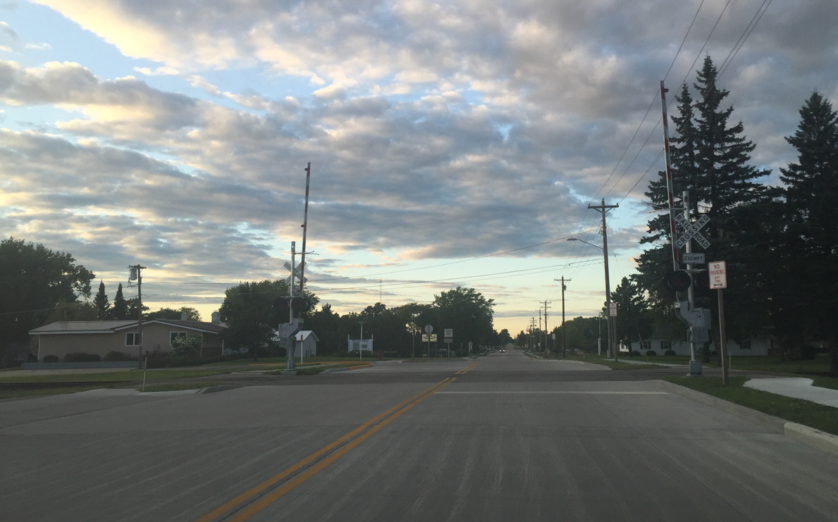
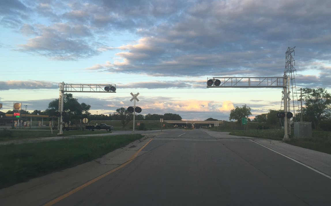
Exempt railroad crossing of the Escanaba and Lake Superior railroad spur into Oconto Falls.
08/05/16
Highland Drive intersection. Traffic bypassing Downtown Oconto Falls rejoins Wis 22 here.
08/05/16
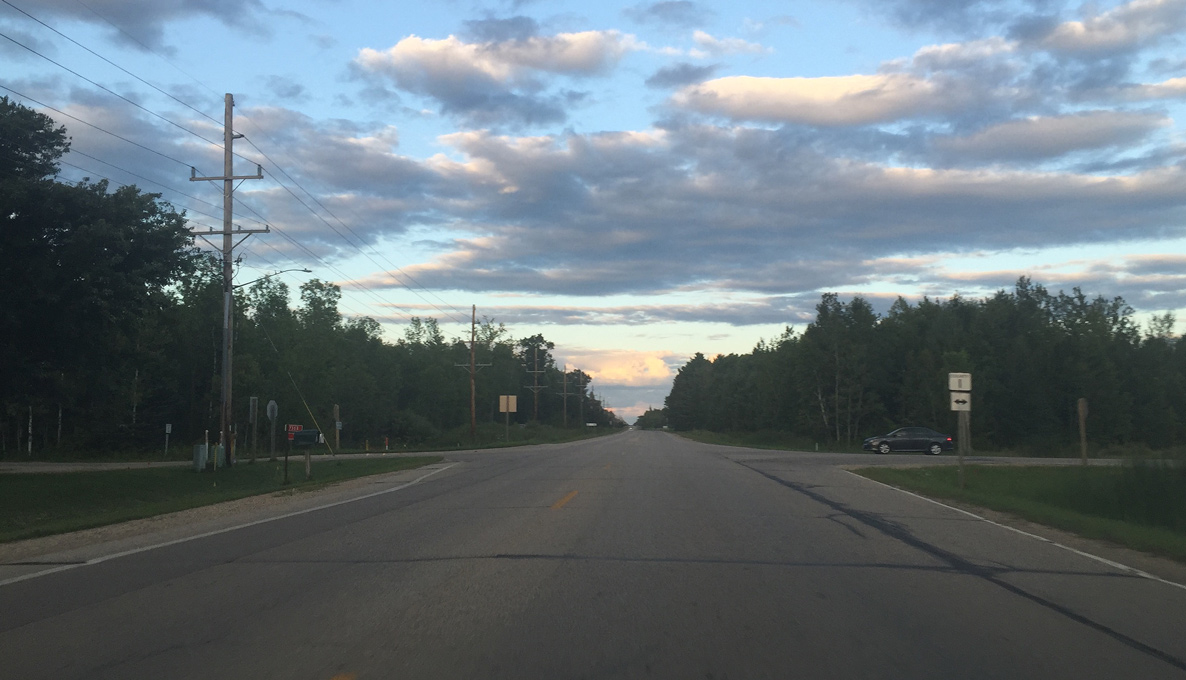
Leaving Oconto Falls, Wis 22 curves east from Chestnut Road and continues another 13 miles to Oconto. This assembly was replaced by 2018.
08/05/16
Wis 22 northbound next intersects County I. County I runs south and then east along the Oconto River to U.S. 141 at Stiles.
08/05/16
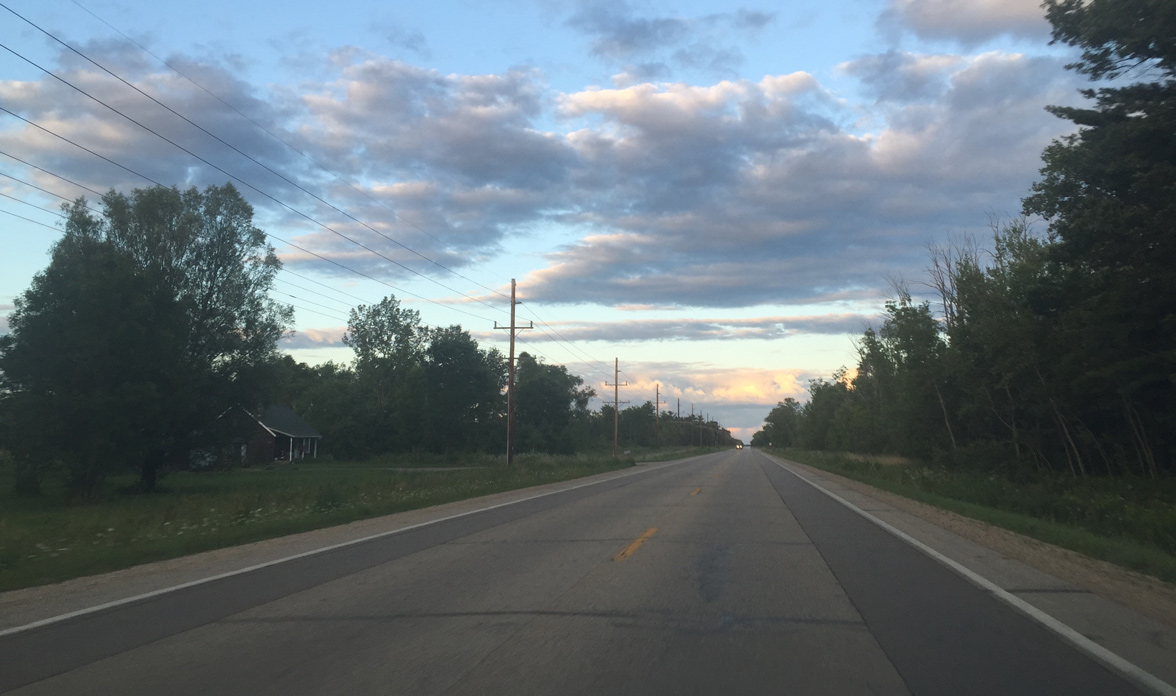
Advancing east from County I on Wis 22.
08/05/16
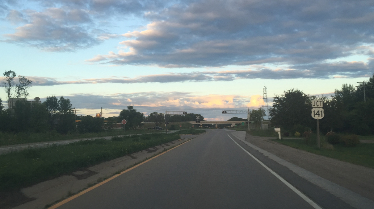
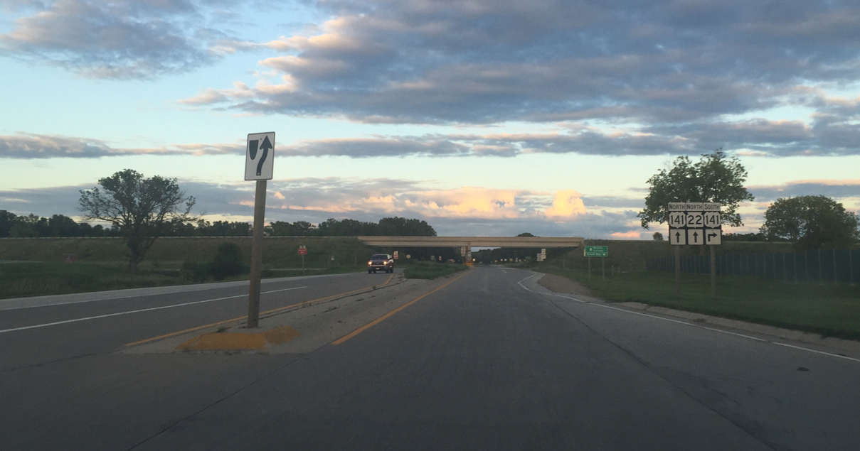
Approaching U.S. 141 in Stiles Junction
08/05/16
Escanaba and Lake Superior railroad crossing adjacent to Duame Road.
08/05/16
U.S. 141 was upgraded to an expressway between U.S. 41 and Wis 64 in the 2000s. The interchange with Wis 22 replaced a signalized intersection.
08/05/16
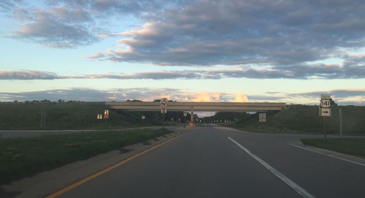
U.S. 141 travels south from Wis 22 to Stiles and Abrams, where it combines with U.S. 41 to Suamico and Howard.
08/05/16
North from Wis 22, U.S. 141 heads to Lena, Coleman and Pound.
08/05/16
Wis 22 becomes undivided beyond the diamond interchange with U.S. 141.
08/05/16

Oconto is 8 miles away
08/05/16
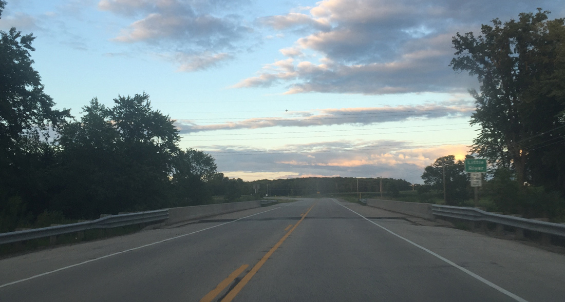
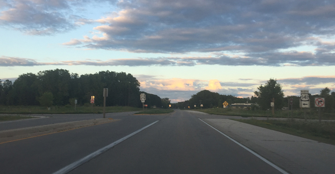
Wis 22 shifts northward through an S-curve across the Little River.
08/05/16
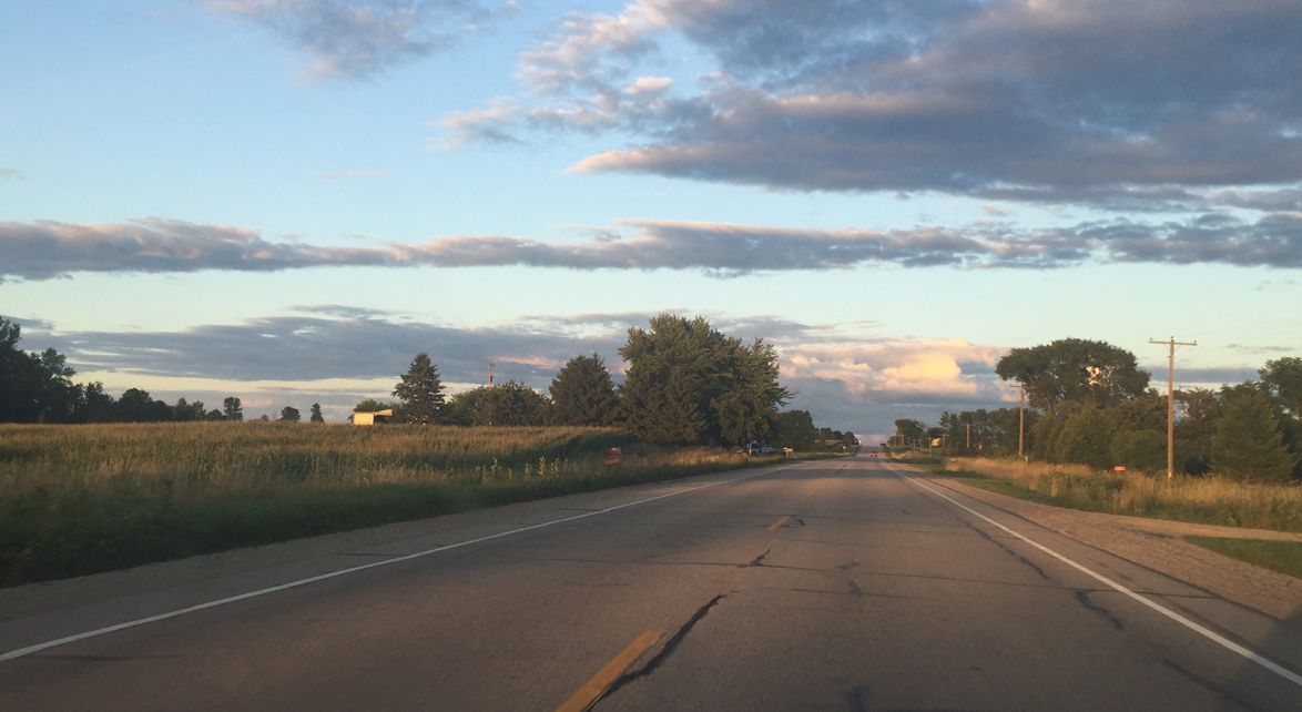
Crossing agricultural areas west of County J
08/05/16
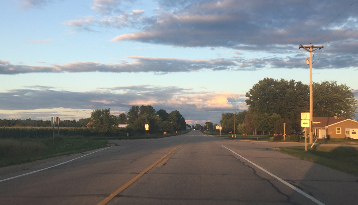
County J extends south through Little Suamico and Suamico where it ends at County M and EB at the Howard village line.
08/05/16
Final Wis 22 reassurance sign
08/05/16
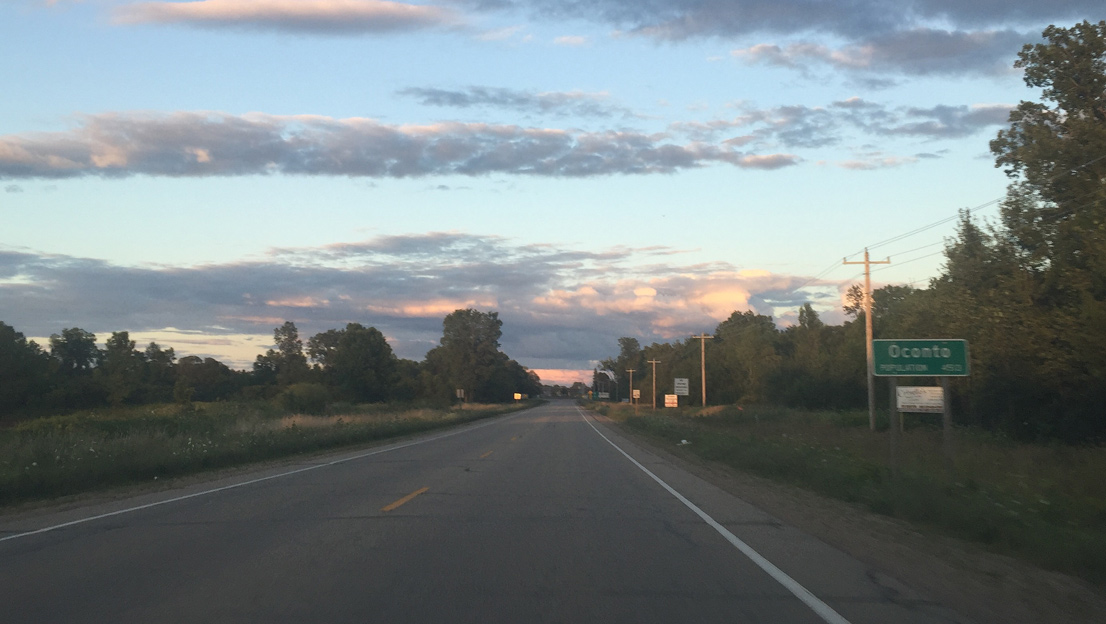
Entering the city of Oconto
08/05/16
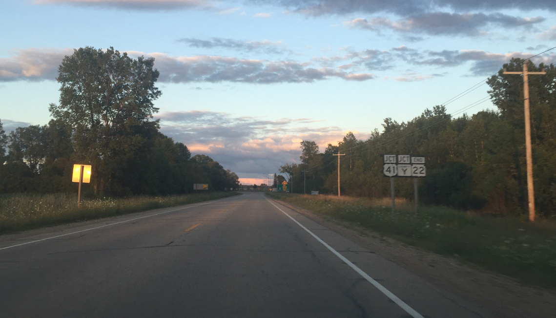
Approaching U.S. 41 and the end of Wis 22
08/05/16
Wis 22 was shortened by 0.6 mile when the U.S. 41 bypass opened in 2009.
08/05/16
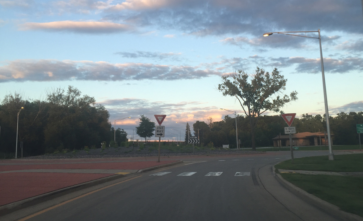
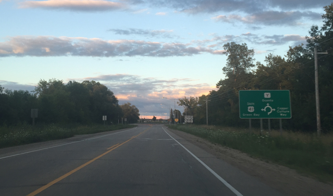
A roundabout connects Wis 22 (Charles Street) with the U.S. 41 south ramps and the entrance to Copper Culture State Park.
08/05/16
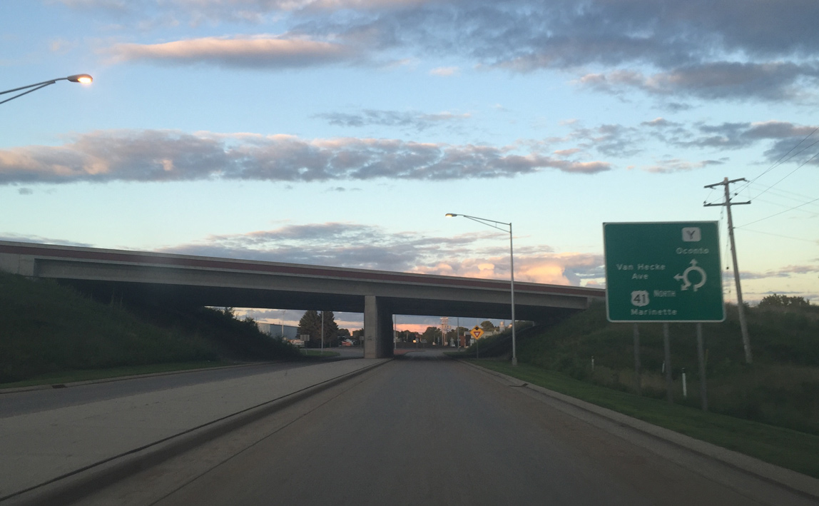
Wis 22 advances east below U.S. 41 to the roundabout with the U.S. 41 north ramps at Van Hecke Avenue.
08/05/16
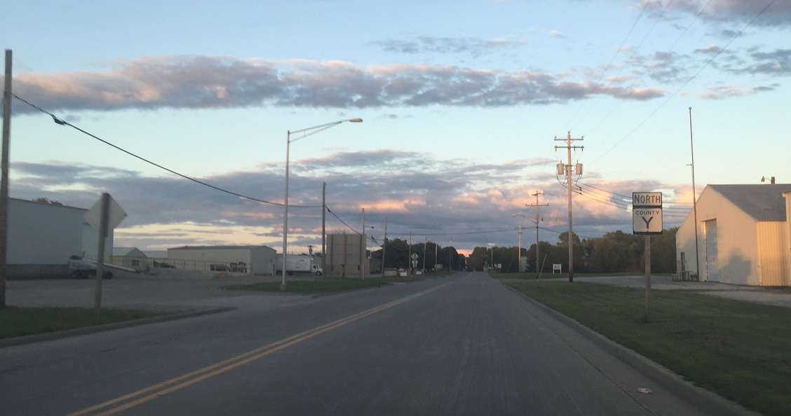
County Y replaced Wis 22 along Charles Street between U.S. 41 and U.S. 41 Business (Brazeau Avenue).
08/05/16
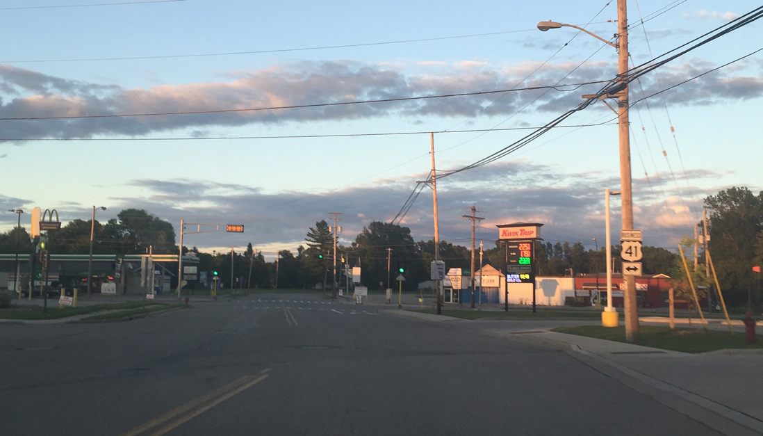
CTH Y shifts onto Main Street ahead of U.S. 41 Business (Brazeau Avenue). Oconto designated the route when the U.S. 41 bypass opened. Most business routes in Wisconsin are locally designated and maintained at the city or county level.
08/05/16
The signalized intersection at CTY Y (Main Street) and U.S. 41 Business is where Wis 22 ended prior to 2009. CTY Y extends east to Downtown and north along Green Bay toward Peshtigo.
08/05/16
Photo Credits:
- Peter Johnson: 08/05/16
Connect with:
Page Updated Wednesday October 30, 2019.