
State Trunk Highway 23 East - Sheboygan County

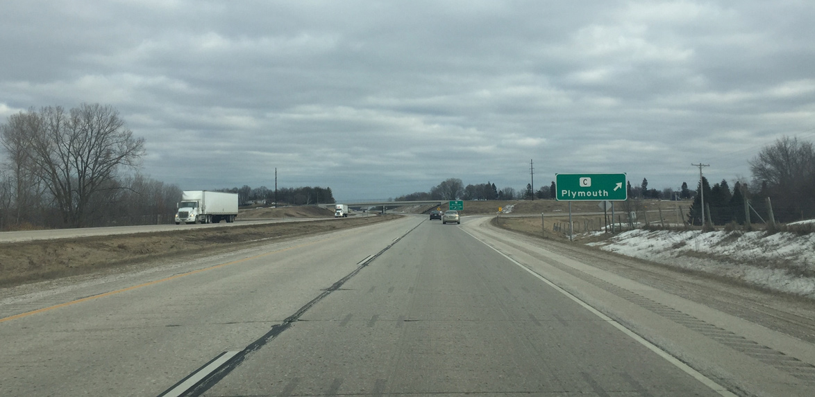
Wis 23 upgrades to a four lane expressway one mile west of Sheboygan County C and the outskirts of Plymouth.
02/26/16

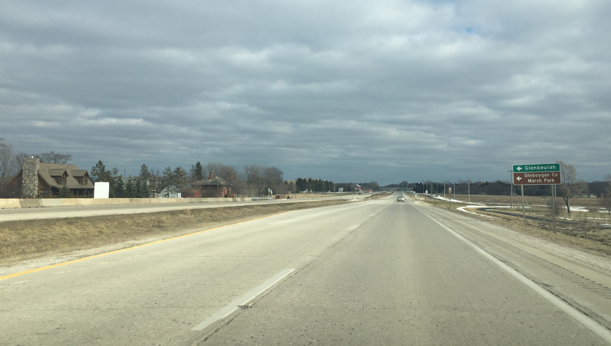
A folded diamond interchange joins Wis 23 with County C in one mile. CTH-C follows Western Avenue southeast to Downtown Plymouth.
02/26/16
Upcoming County P leads to the small village of Glenbeulah and the Sheboygan Marsh State Wildlife Area.
02/26/16
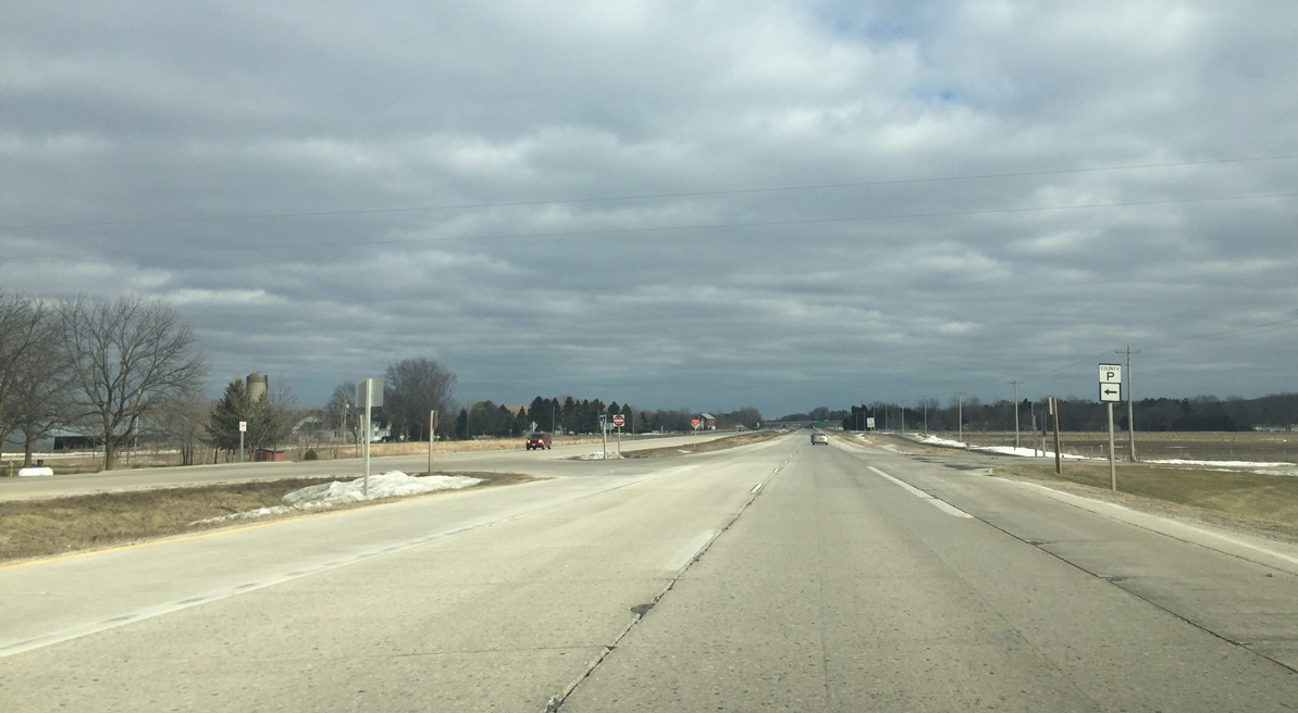
CTH-P travels 6.4 miles north to CTH-J to the west of Crystal and Elkhart Lakes.
02/26/16
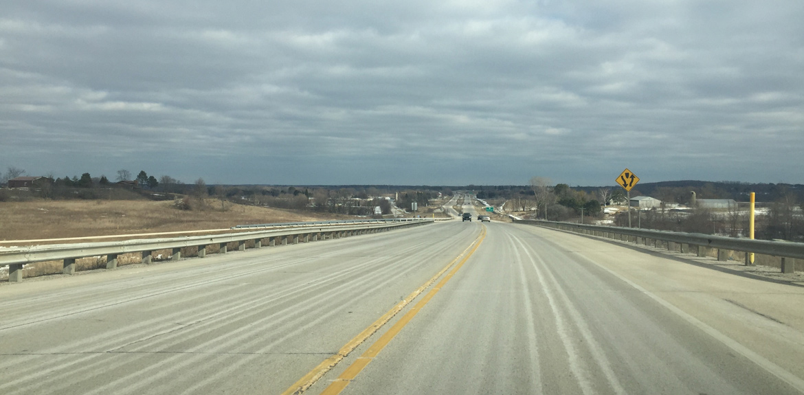
Eastbound Wis 23 at the off-ramp for County C. County C is the pre expressway alignment of Wis 23 and was a part of Business 23 until 2004 when it was decommissioned.
02/26/16
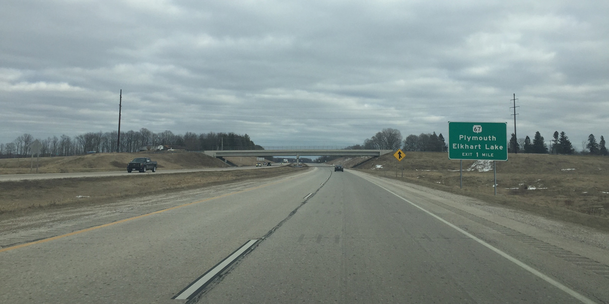
Wis 23 travels as a freeway east one mile to Wis 67. STH-67 constitutes a 160 mile route from the Illinois state line near Beloit to U.S. 151 in adjacent Manitowoc County.
02/26/16
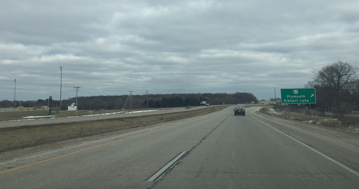
The Wis 67 interchange is a folded diamond. Traffic to Road America and the resorts in Elkhart Lake exit here for STH-67 north while STH-67 follows Milwaukee Street through Plymouth.
02/26/16
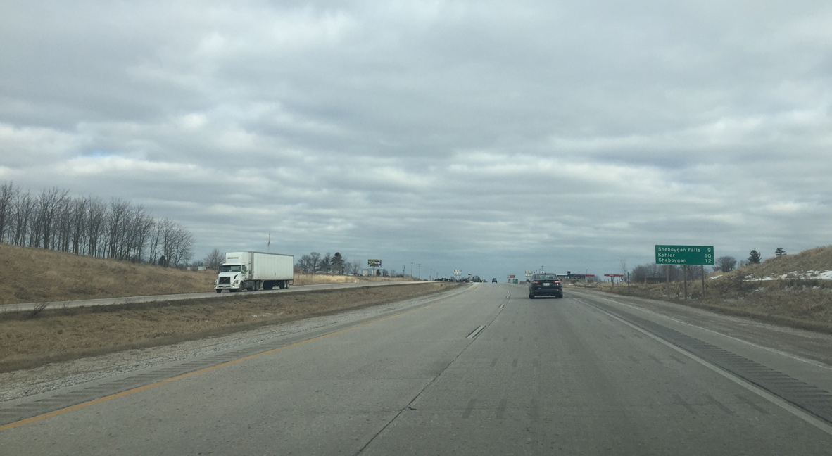
12 miles remain along STH-23 east to Sheboygan. Interchanges join the expressway with Sheboygan Falls and Kohler over the next ten miles.
02/26/16
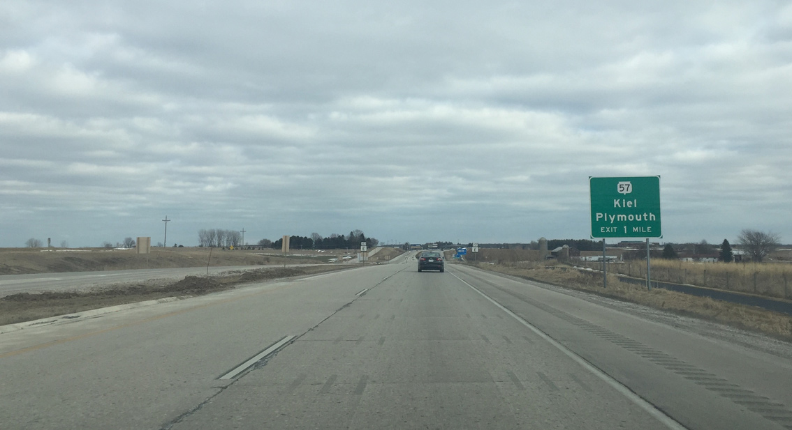
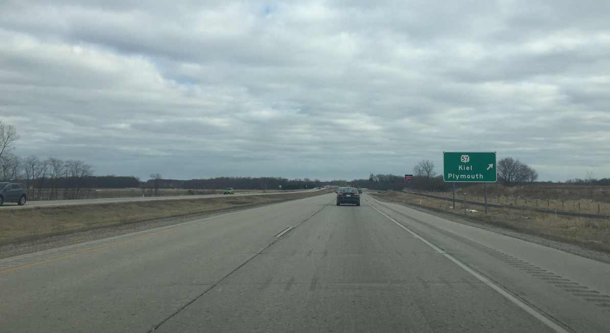
The one mile sign for the diamond interchange with Wis 57 precedes the intersection with CTH-E. Wis 57 skirts by the east side of Plymouth and is four lanes from Wis 23 south to I-43.
02/26/16
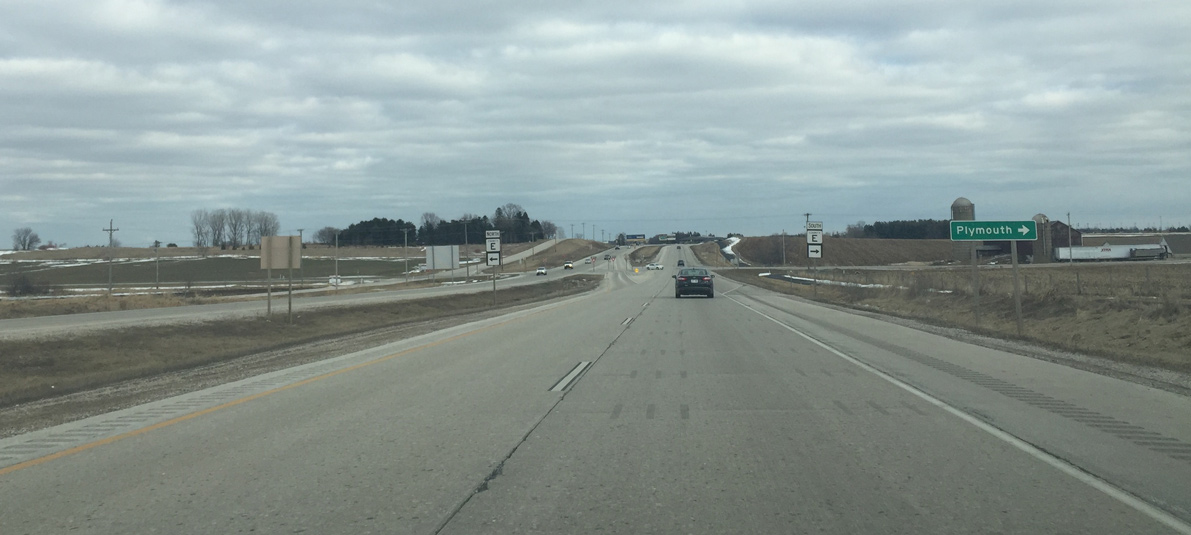
A J turn intersection connects Wis 23 with County E. County E (Highland Avenue) is another road that accesses Plymouth.
02/26/16
North of Wis 23, Wis 57 is mainly a two lane road on the 10 mile drive to the Manitowoc County line. The trunk highway expands north from there to four lanes on the approach to Kiel. Green Bay is 61 miles north from here.
02/26/16
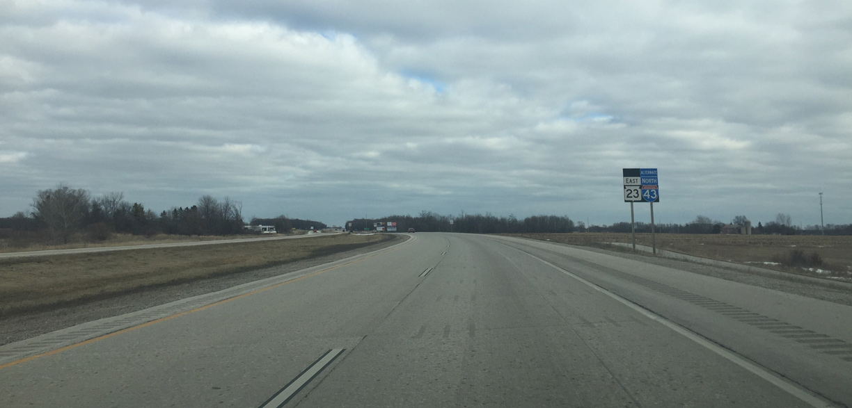
Alternate I-43 accompanies Wis 23 east from Wis 57 to Sheboygan. A 50 car pileup along Interstate 43 in 2002 prompted the creation of an alternate route for I-43.
02/26/16
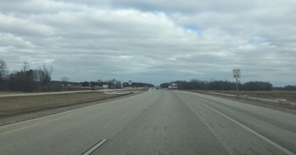
The speed limit increases to 65 MPH as intersections are further spaced out east of Plymouth.
02/26/16
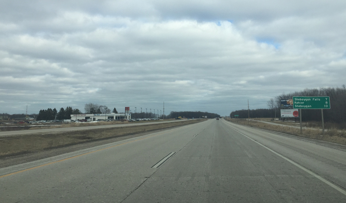
The communities of the Sheboygan metro area are within 10 miles of Wis 23 east at Willow Road.
02/26/16
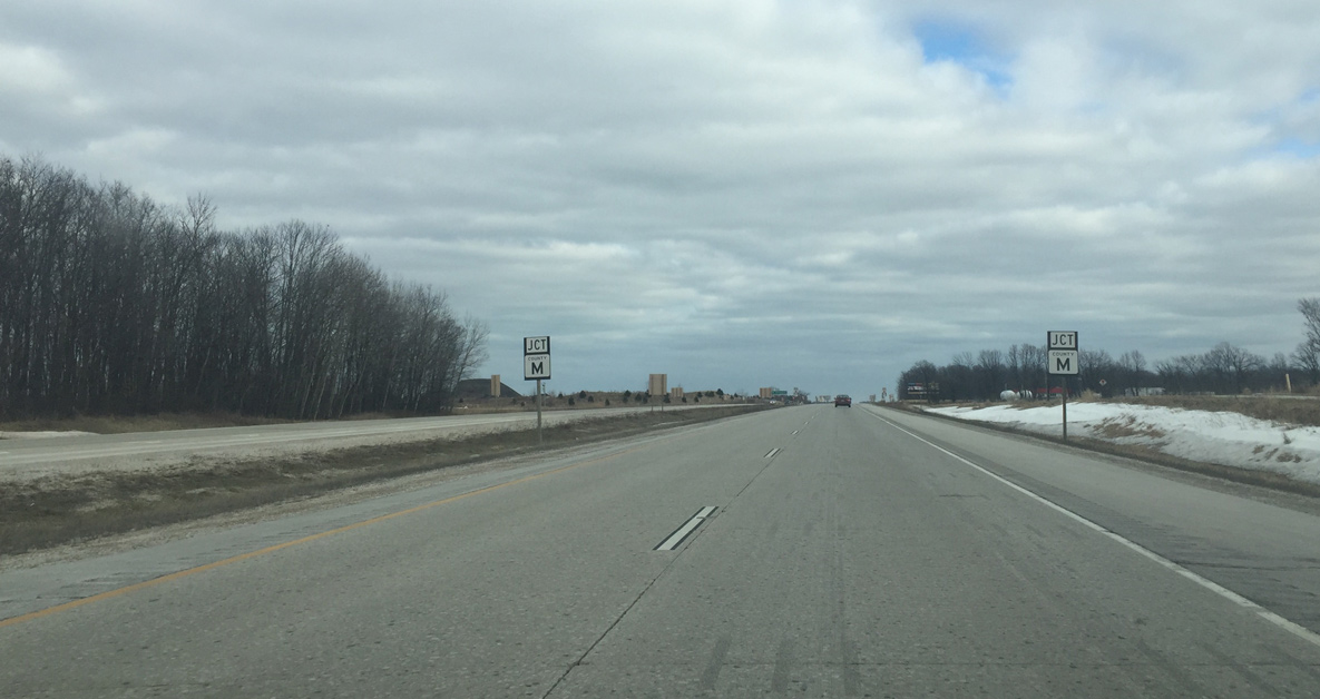
CTH-M, a 14.6 mile route north from STH-28 to Manitowoc County, intersects STH-23 next.
02/26/16

County M leads north to the unincorporated community of Johnsonville, where Johnsonville Brats and meat products are made.
02/26/16
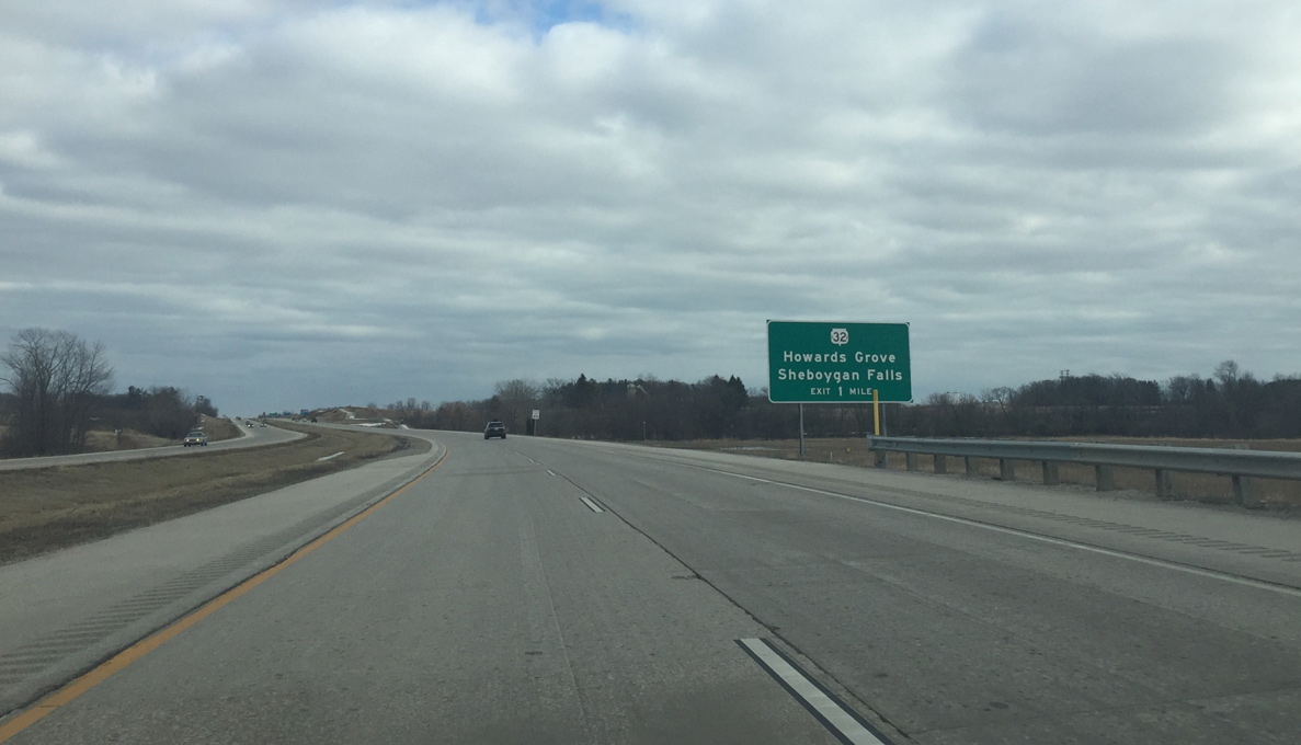
The STH-23 expressway shifts slightly south to cross the Sheboygan River on the one mile approach to STH-32. Wis 32 (Main Street) heads south into Downtown Sheboygan Falls and beyond there to Cedar Grove where it meets I-43.
02/26/16
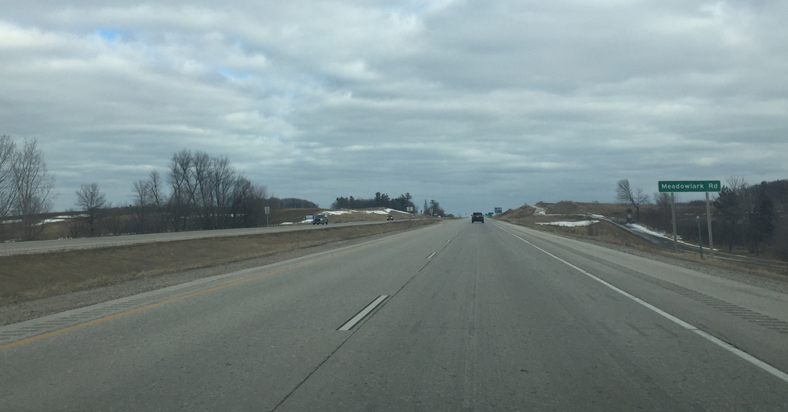
Meadowlark Road represents the last intersection along Wis 23 east before the trunk highway becomes a freeway.
02/26/16
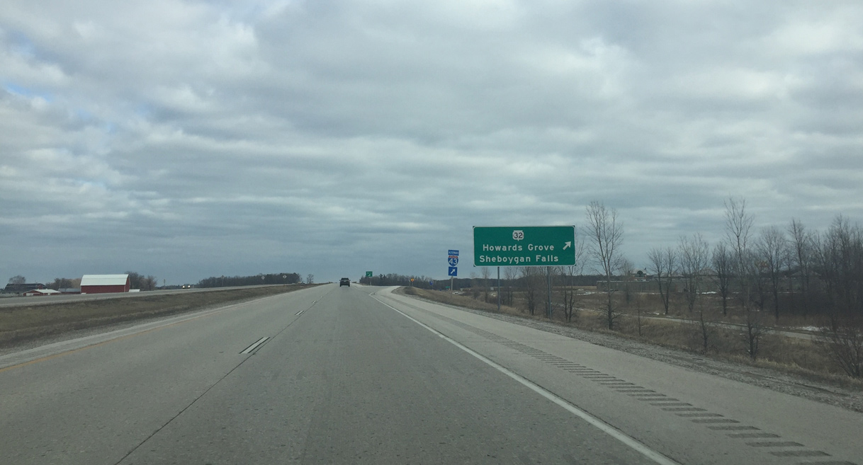
Eastbound Wis 23 at the diamond interchange with Wis 32 (Red Arrow Highway). Alternate I-43 traffic also exits here. North of Wis 23, Wis 32 travels five miles to Howards Grove, and 6.2 miles to the northwest turn at Wis 42. Wis 32 and Wis 42 swapped routes south and east of Howards Grove when Wis 32 was designated the 32nd Division Memorial Highway so it could traverse the entire state.
02/26/16
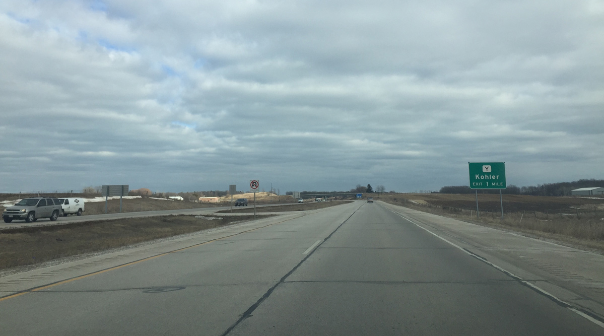
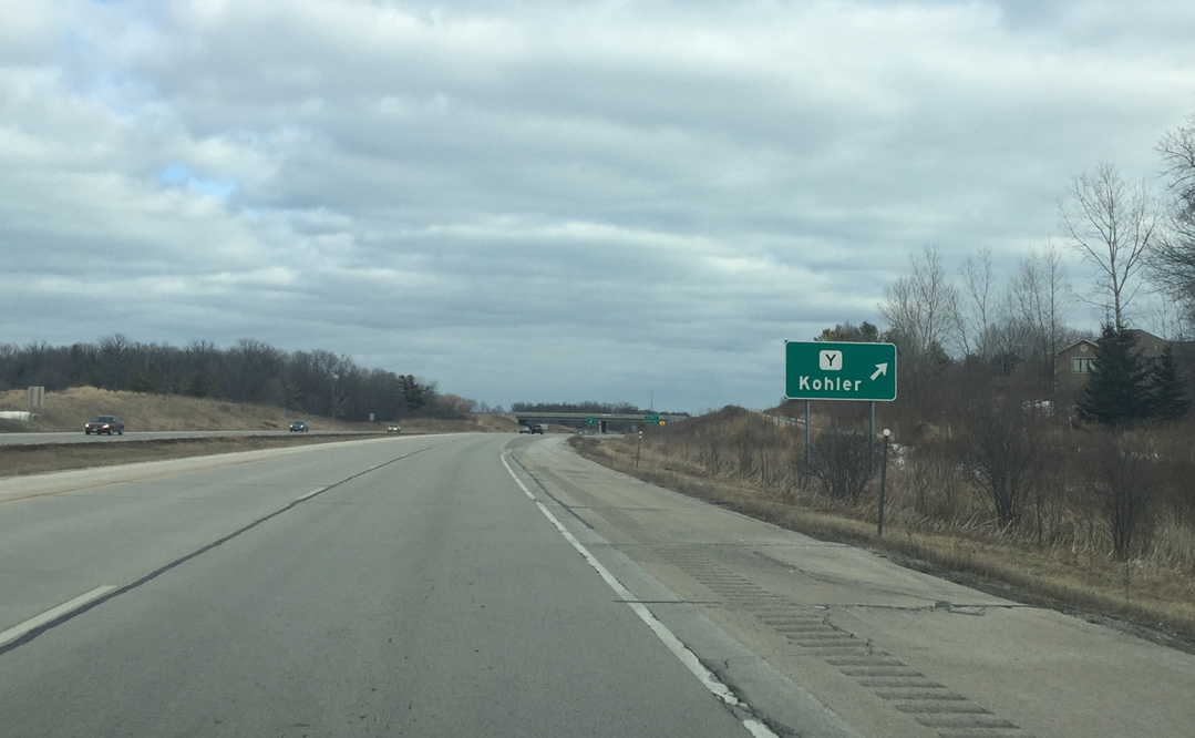
Leaving Sheboygan Falls, STH-23 approaches an interchange with CTH-Y. County Y serves the resorts of Kohler and the Kohler Company.
02/26/16
The ensuing interchange along Wis 23 beyond Kohler is with Interstate 43.
02/26/16
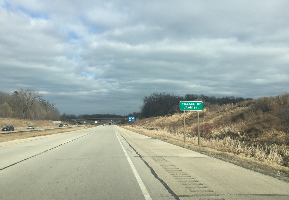
The Wis 23 freeway briefly enters the village of Kohler at County Y.
02/26/16
The eastbound ramps at Sheboygan County Y are standard diamond ramps while the westbound ramps are loop ramps. Highland Drive extends south from the freeway as an unnumbered route to the Kohler corporate campus.
02/26/16
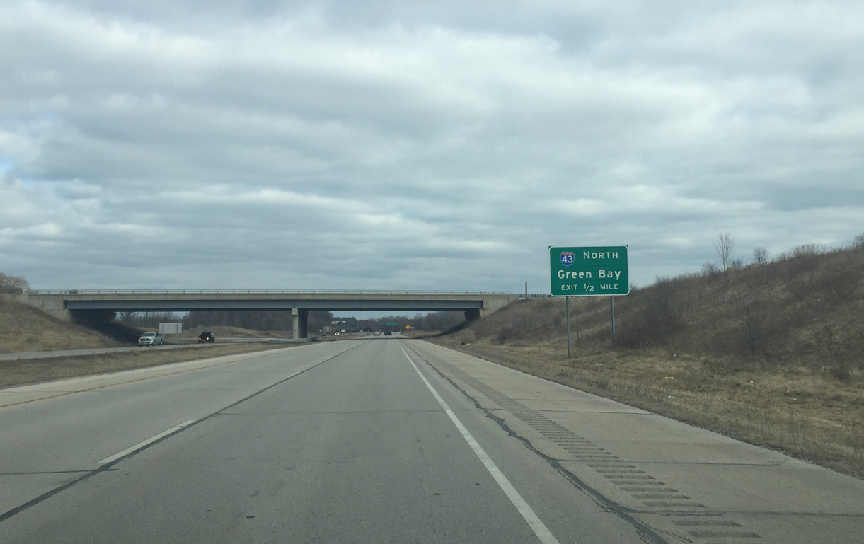
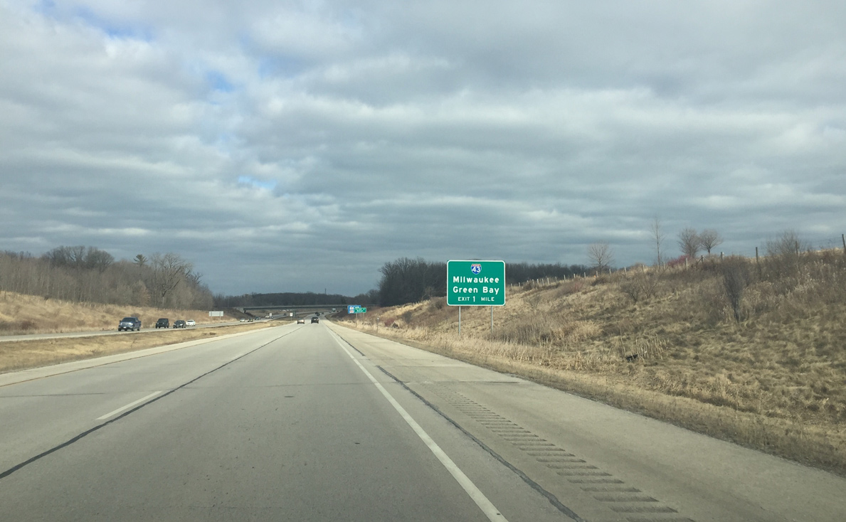
The I-43 north loop ramp to departs in one half mile. A cloverleaf interchange joins the two freeways.
02/26/16

Drivers taking Interstate 43 south from STH-23 reach Milwaukee in 54 miles. The intrastate freeway runs overall between Green Bay and Beloit.
02/26/16
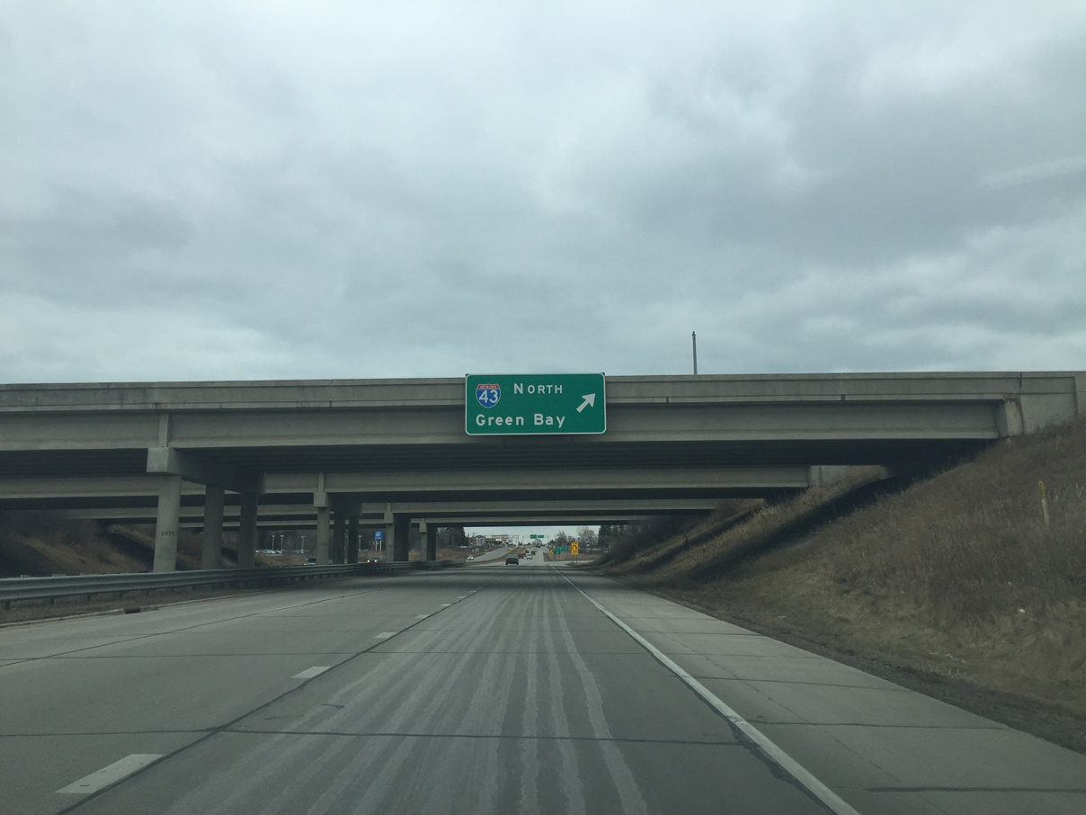
Wis 23 crosses under the four overpasses of Interstate 43, two of which carry c/d roadways, as northbound traffic exits for Manitowoc and Green Bay.
02/26/16
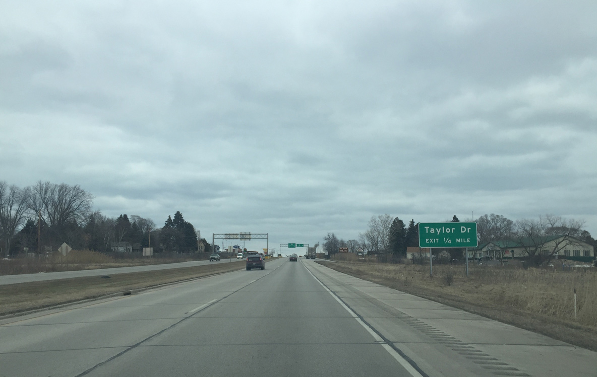
A diamond interchange follows in one quarter mile with Taylor Drive (CTH-TA south). Taylor Drive parallels I-43 and is an arterial for businesses near the interstate.
02/26/16
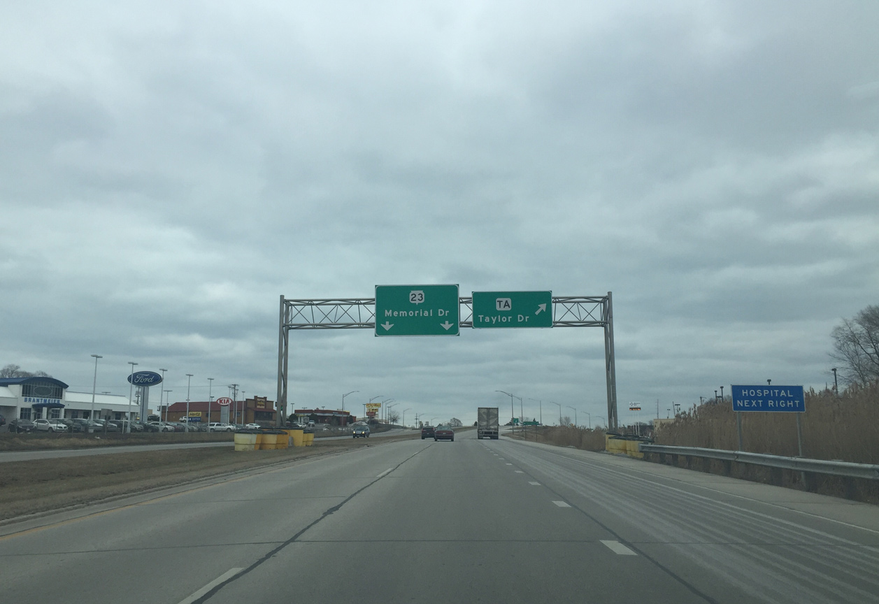
Sheboygan County TA lines Taylor Drive south three miles to Wis 28. Taylor Drive north serves NSHS St. Nicholas Hospital a short distance to the north.
02/26/16

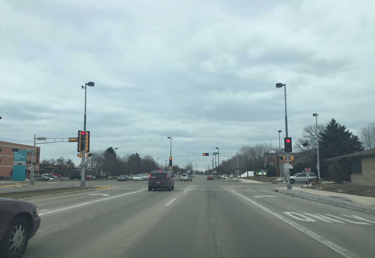
Formally within the city of Sheboygan, the Wis 23 freeway is about to end.
02/26/16

The speed limit reduces to 35 MPH and the shoulders disappear as Wis 23 becomes an urban parkway named Kohler Memorial Drive.
02/26/16
The freeway ends at 25th Street, which runs south to residential areas and north to several businesses.
02/26/16
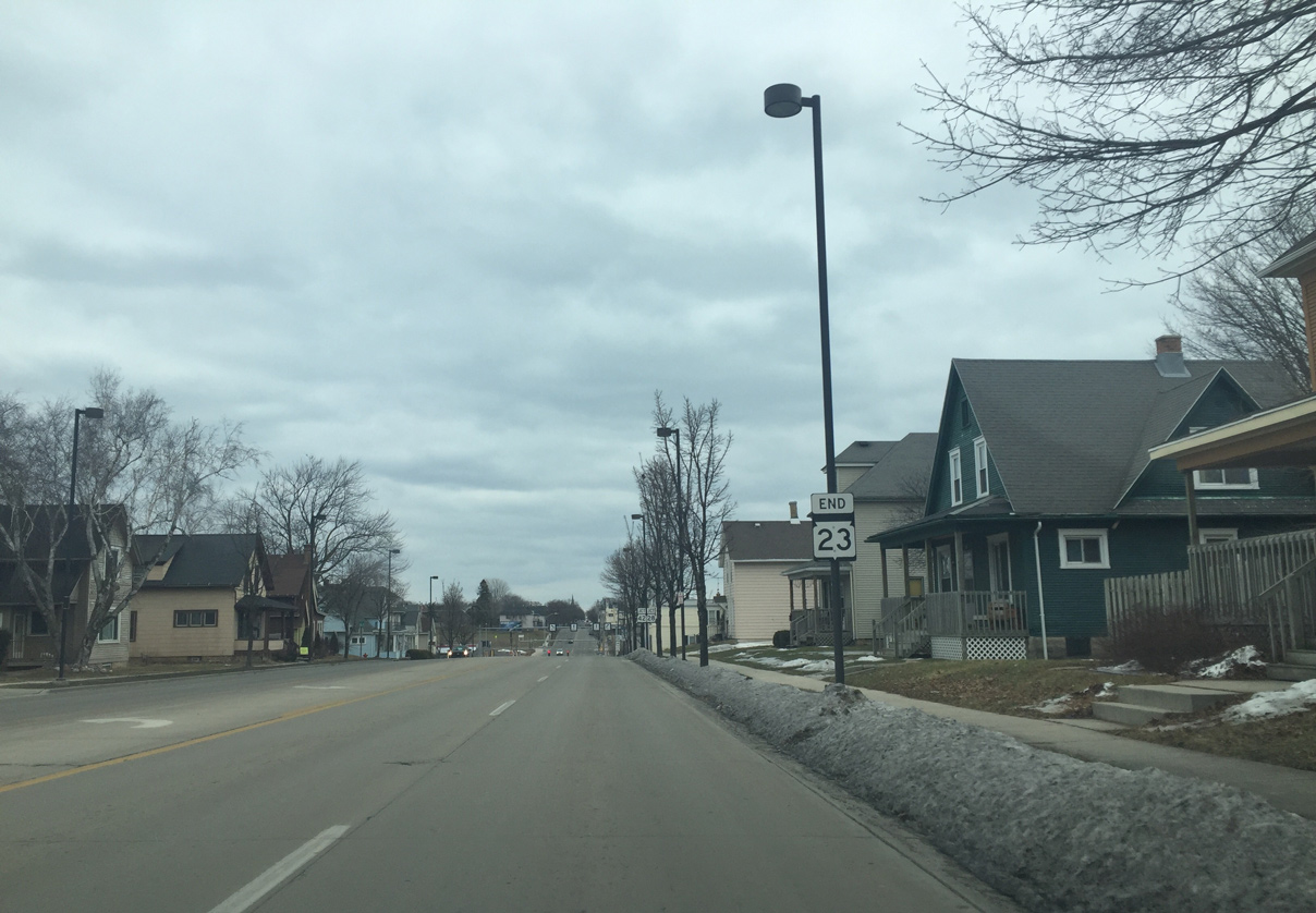
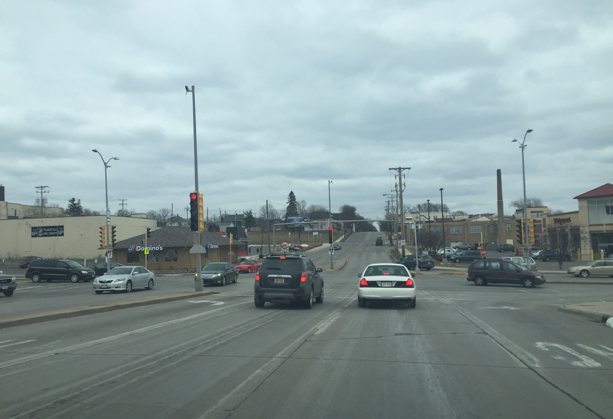
End Wis 23 sign posted ahead of the intersection with Wis 28/42 (N 14th Street).
02/26/16
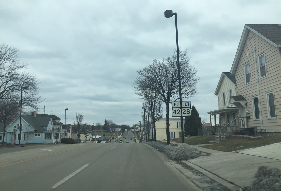
Erie Avenue leads Wis 23 east to 14th Street, where it ends along with Wis 28 east and 42 south. 14th Street is the historic alignment of U.S. 141, which was replaced by Interstate 43 and decommissioned south of Bellevue in 1981.
02/26/16

STH-28 begins a nearly 60 mile route west to Horicon from Erie Avenue. STH-42 runs nearly 138 miles from Sheboygan to the northern tip of the Door County Peninsula.
02/26/16
Erie Avenue continues toward Lake Michigan and Downtown Sheboygan beyond the end of Wis 23 at 14th Street.
02/26/16
Photo Credits:
- Peter Johnson: 02/26/16
Connect with:
Page Updated Thursday April 07, 2016.