
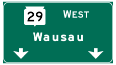
State Trunk Highway 29 West - Green Bay to Shawano

![STH-29 joins the freeway leading west from Interstate 41 [U.S. 41] from Shawano Avenue after the roundabout with Cardinal Drive. High speed ramps connect I-41 with STH-32 independent of Shawano Avenue otherwise.](../../wi/029/wi-029_wb_exit_255_01.jpg)
STH-29 joins the freeway leading west from Interstate 41 [U.S. 41] from Shawano Avenue after the roundabout with Cardinal Drive. High speed ramps connect I-41 with STH-32 independent of Shawano Avenue otherwise.
01/24/16
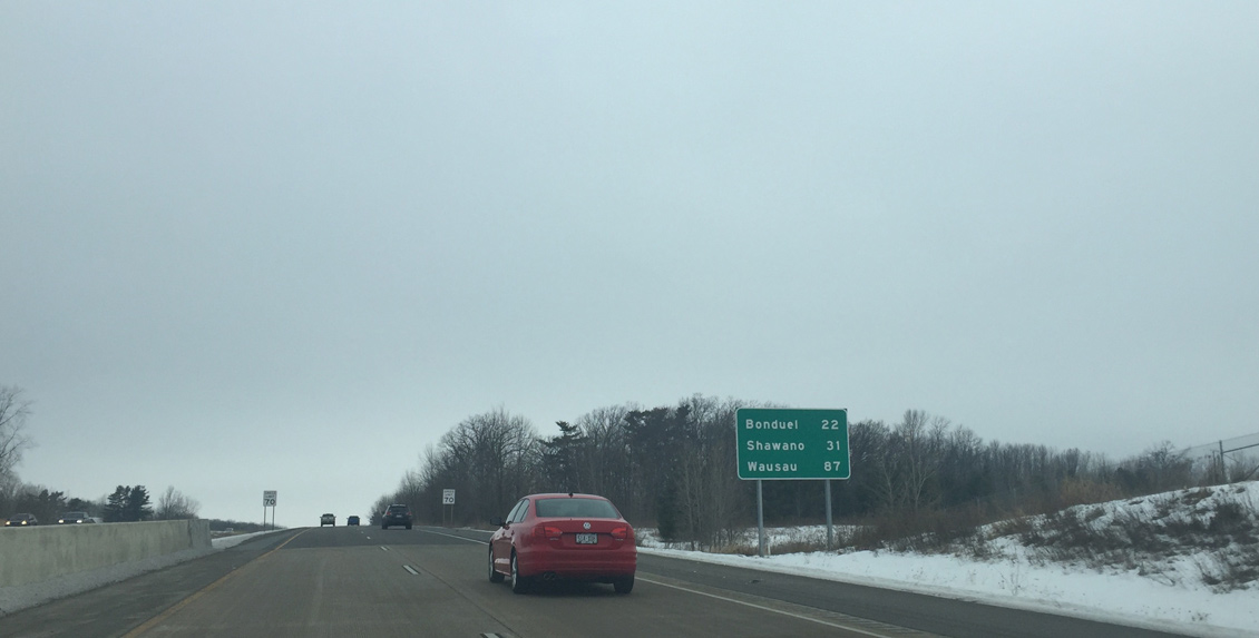
Leading away from Green Bay and Howard, the Wis 29 expressway travels 22 miles to the village of Bonduel and 31 miles to the Shawano County seat of Shawano.
01/24/16
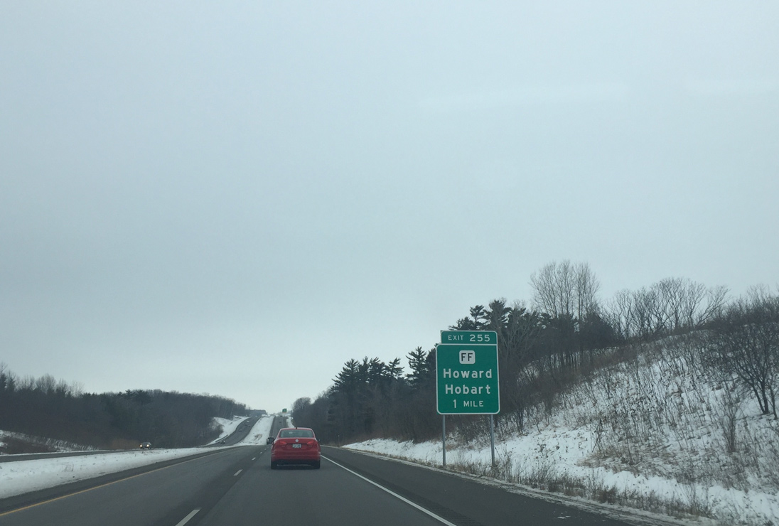
Wis 29/32 pass by Burdon Hill to next meet CTH-FF in one mile. Brown County FF (Sherwood Street north / Hillcrest Road south) comprises a two lane divided boulevard north to Shawano Avenue and south to nearby Centennial Centre Boulevard.
01/24/16
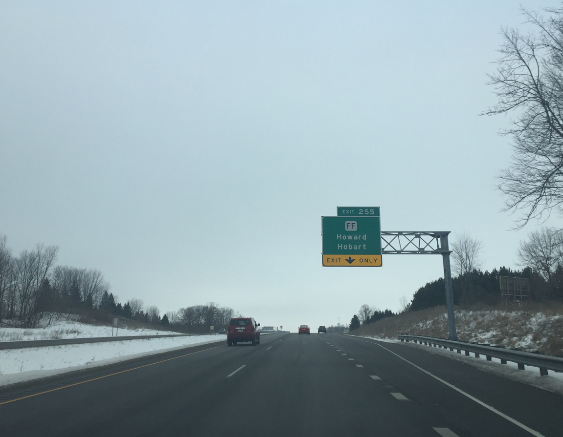
CTH-FF travels three miles overall from Wis 54 (Mason Street) in west Green Bay north through the village of Hobart to CTH-C (Shawano Avenue) in Howard.
01/24/16

The dumbbell interchange between STH-29 and CTH-FF was constructed between July 1, 2013 and July 31, 2014 at a cost of $17.1 million. Work included the expansion of Brown County FF south and north with roundabouts in place of intersections at Navajo Trail and Shawano Avenue (CTH-C).1
01/24/16
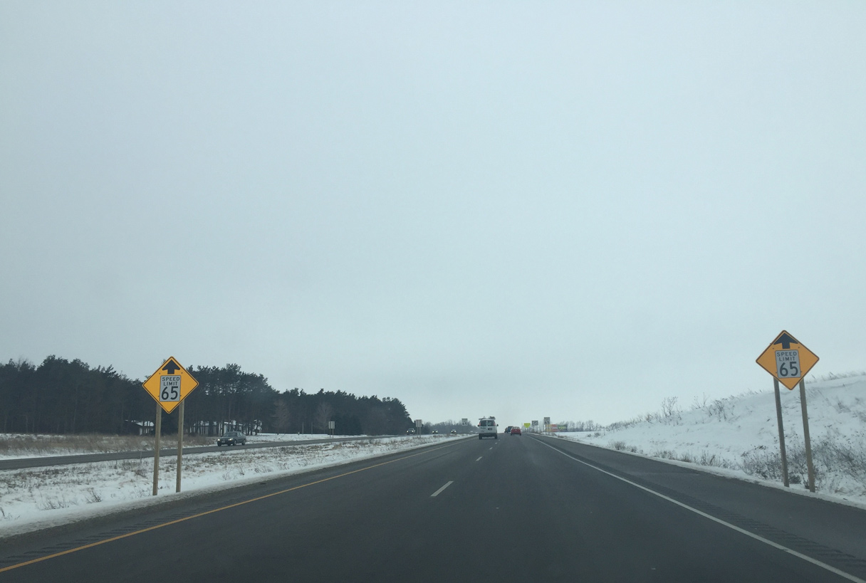
The speed limit reduces from 70 to 65 miles per hour as STH-29/32 transition into an at-grade expressway.
01/24/16
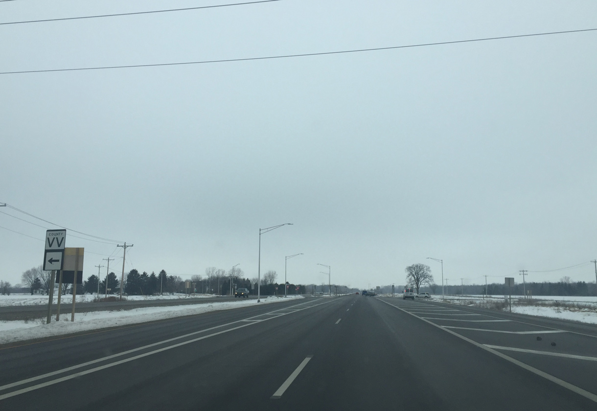
CTH-VV (Triangle Drive) runs west from Wis 29/32 to Isaar in adjacent Outagamie County.
01/24/16
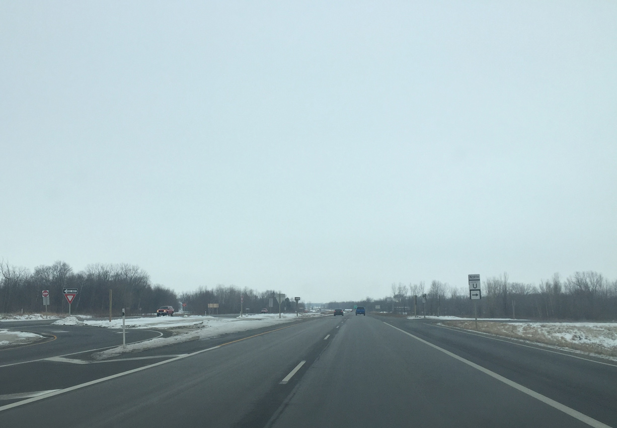
J-turns provide access to County Line Road south and CTH-U north from STH-29/32 at the northeastern corner of Outagamie County. CTH-U spurs north 2.1 miles from here to Kunesh in the town of Pittsfield.
01/24/16
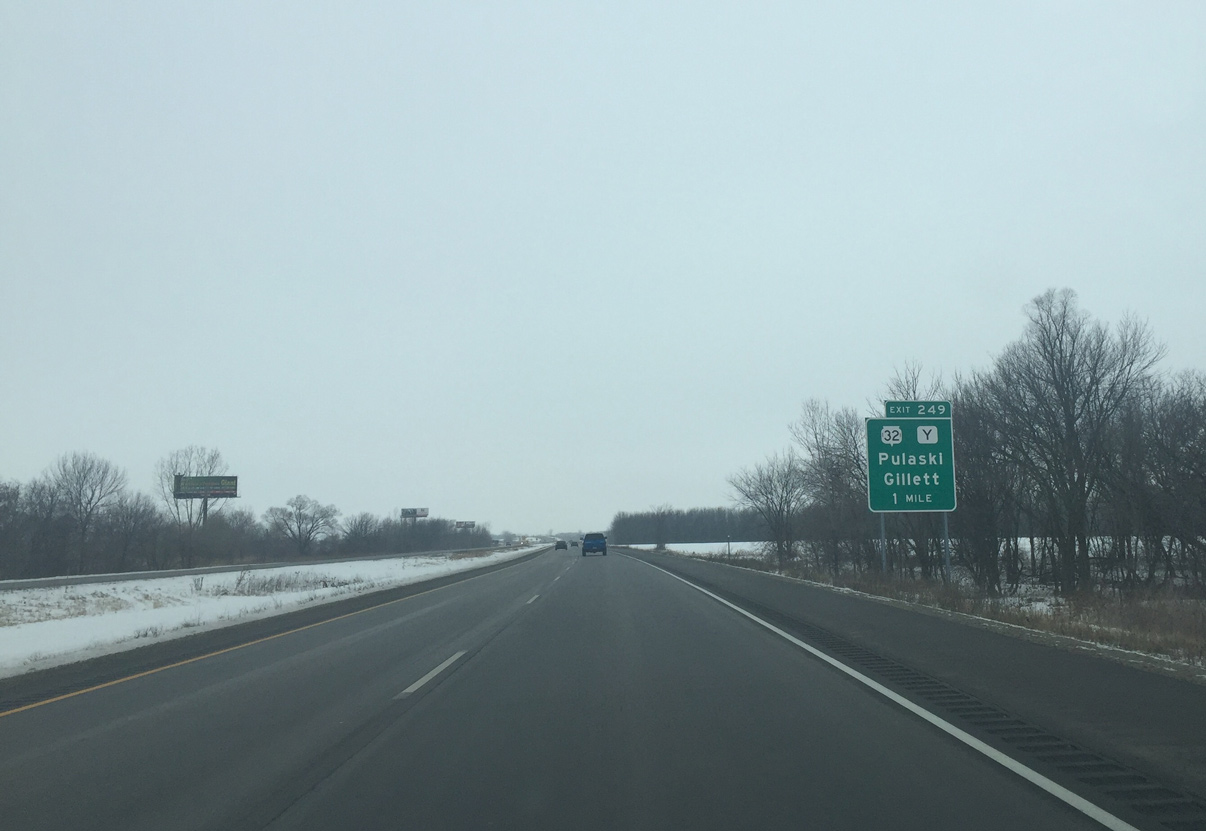
Wis 29/32 nip the northeast corner of Outagamie County ahead of their split at Exit 249 with CTH-Y south.
01/24/16
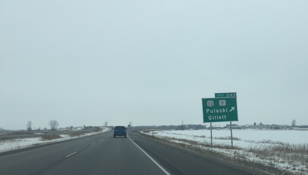
STH-32 (Red Arrow Highway) branches north from STH-32 six miles to the village of Pulaski and 25 miles to the city of Gillett in western Oconto County. The trunk highway extends north all the way to the Michigan state line at Land O' Lakes.
01/24/16
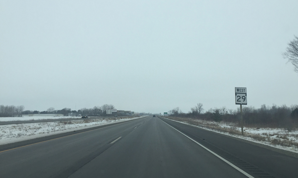
Wis 29 continues west from the diamond interchange (Exit 249) with Wis 32 north and CTH-V south toward the Shawano County line.
01/24/16
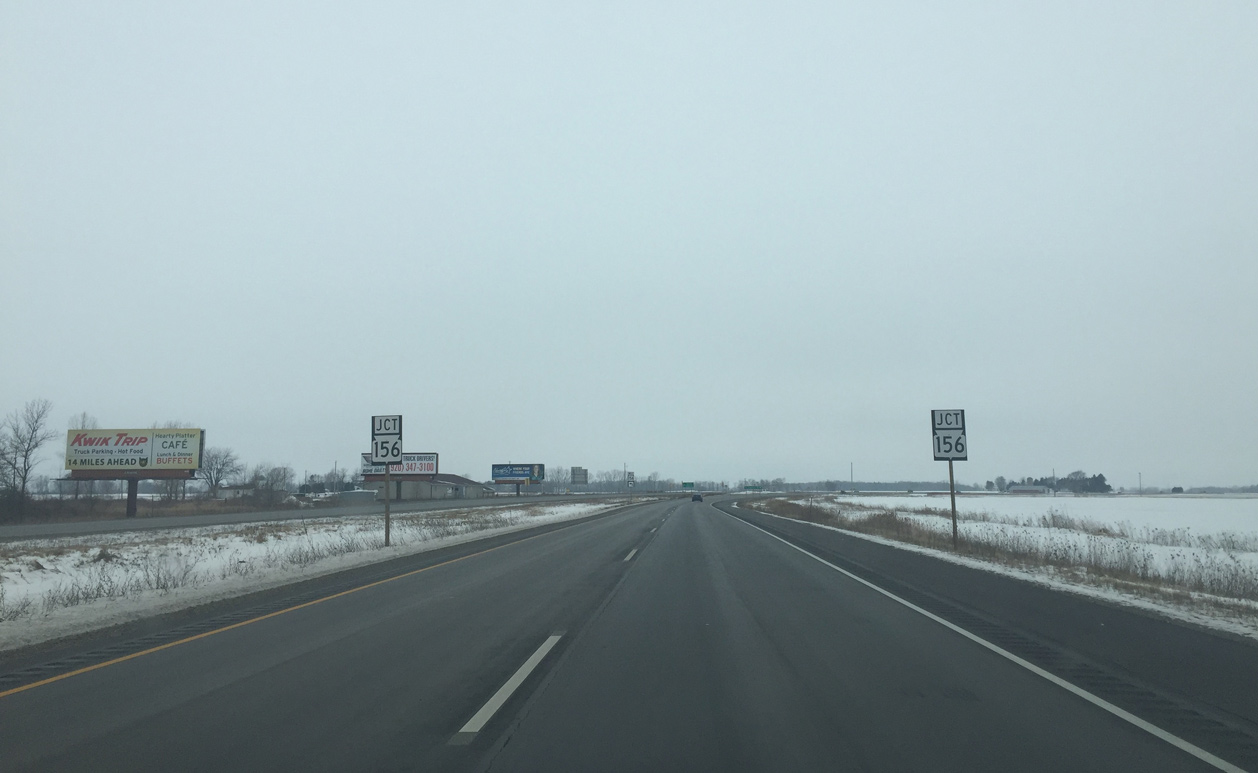
Approaching the intersection with the east end of STH-156 and St. Augustine Street north on STH-29 west.
01/24/16
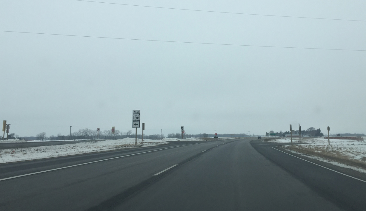
Wis 156 travels 26.7 miles west from Wis 29 to Briarton, Navarino and STH-22 at Clintonville.
01/24/16
The barn quilts in Shawano County give travelers something to see against the seemingly unending agricultural landscape.
01/24/16

Wis 29 turns northwest through the town of Maple Grove en route to a diamond interchange (Exit 242) with Wis 55 south and Wis 160 east at Angelica.
01/24/16

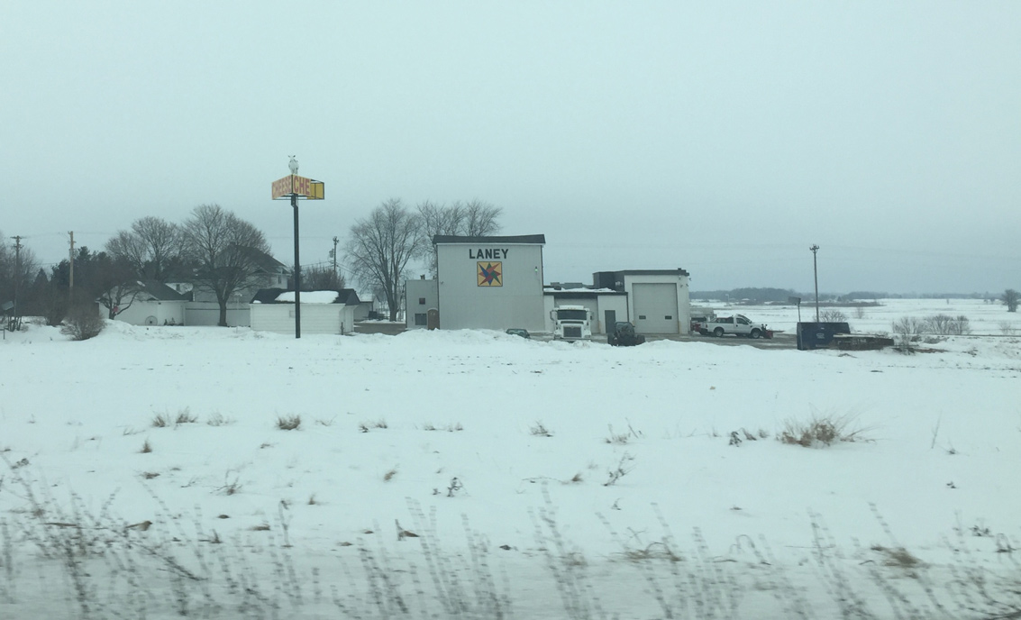
Another barn quilt appears along the pre-expressway alignment of STH-29 (Main Laney Drive) to the east. The four lane highway cut across the original alignment just south of Angelica. STH-55 was also rerouted north and east to meet STH-29.
01/24/16
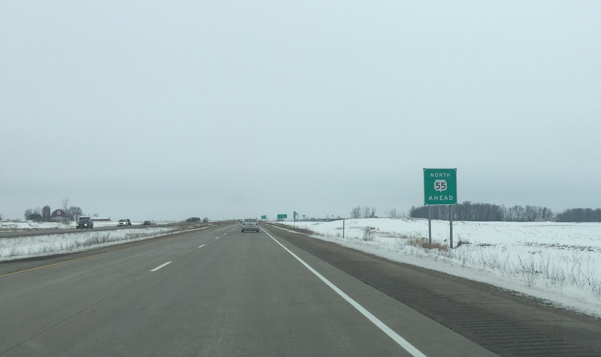
STH-55 north combines with STH-29 west for 17 miles to STH-22 outside Shawano.
01/24/16
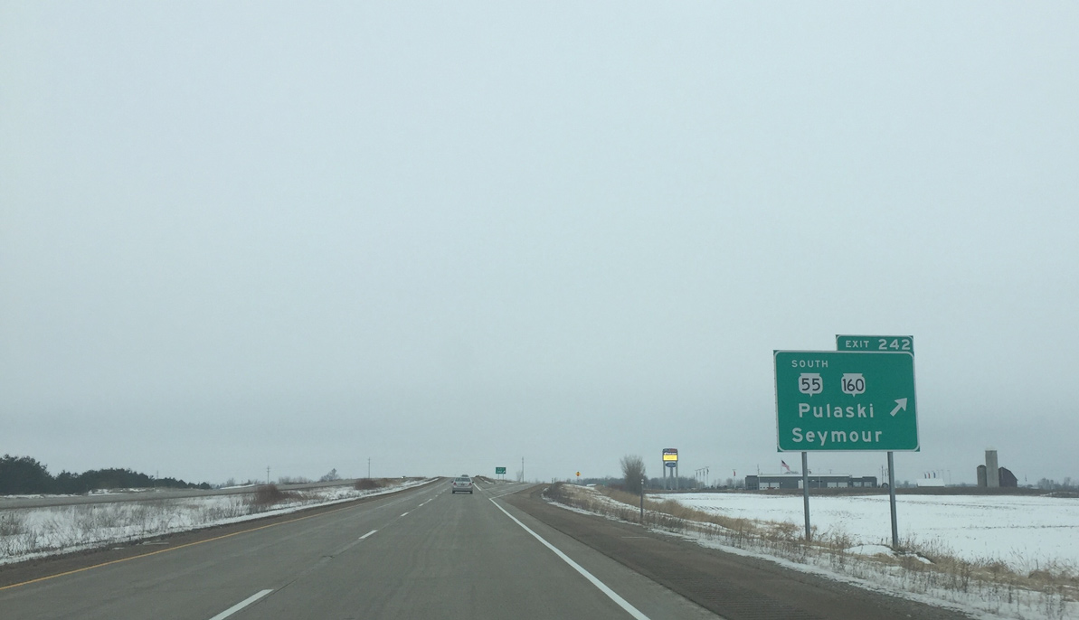
Exit 242 departs Wis 29 west for Wis 55 south to Seymour and Wis 160 east to Pulaski. Wis 160 totals just 3.4 miles between Angelica and Wis 32.
01/24/16
References:
- "Hwy. 29/FF interchange to open." Fox11 News, July 29, 2014.
Photo Credits:
- Peter Johnson: 01/24/16
Page Updated Friday February 05, 2016.