| California 111 north |
|
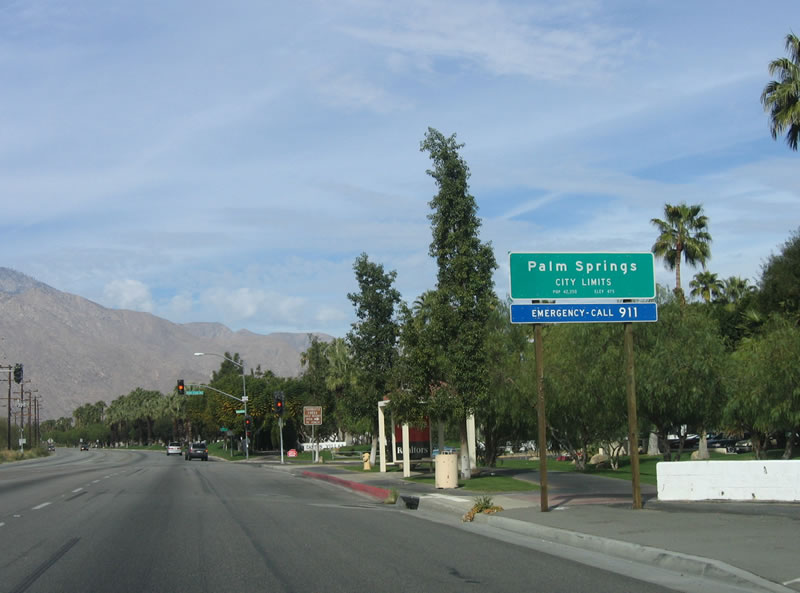
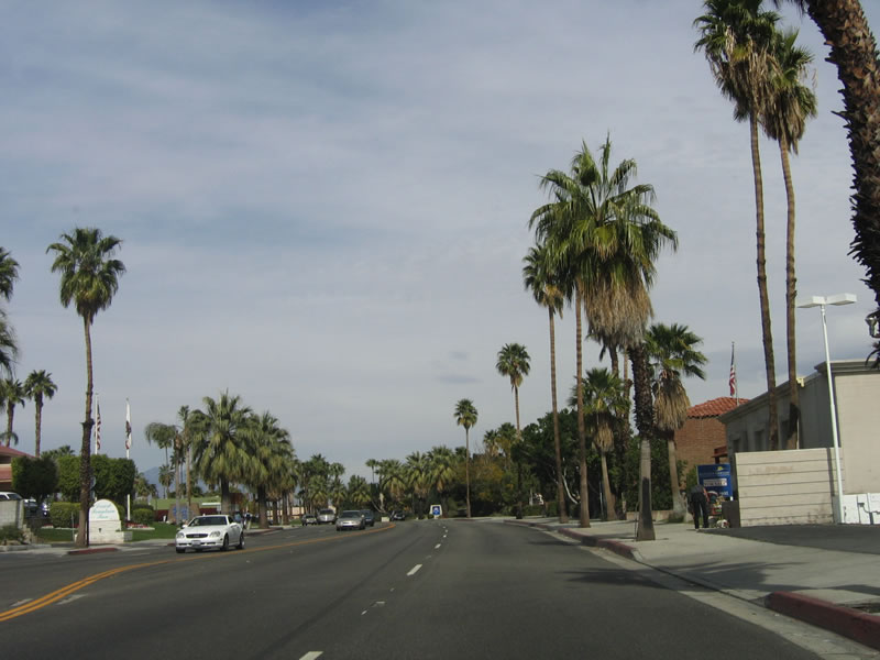
Northbound California 111 enters the city of Palm Springs. Settled by the first non-Indian in 1884 by Judge John Guthrie McCallum, Palm Springs grew gradually through the early part of the 20th Century, then grew rapidly prior to World War II, incorporating as a city in 1938. Unlike cities in the Imperial County along California 111, Palm Spring is 487 feet. However, the city is dwarfed by massive Mount San Jacinto (el. 10,831 feet), which is visible on northbound California 111 (Palm Canyon Drive) as the highway continues northwest toward downtown Palm Springs. The year-round population (according to a 2001 estimate) is 43,800 year-round, with an additional 30,000 visiting in the winter months. Photo taken 02/26/06. |
|
The first traffic signal encountered along northbound California 111 in Palm Springs is for Golf Club Drive, which travels north to Tahquitz Creek Palm Springs golf course. Golf Club Drive changes names to Crossley Road north of the golf course. Photo taken 02/26/06. |
|
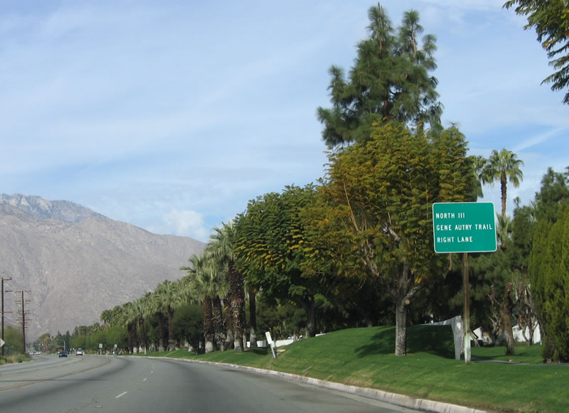
For through traffic on northbound California 111, prepare to turn right onto Gene Autry Trail. For those planning to visit downtown Palm Springs (recommended), follow California 111 Business northwest along Palm Canyon Drive. Photo taken 02/26/06. |
|
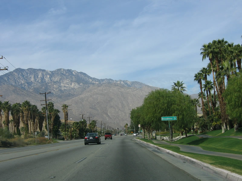
Prior to the California 111/California 111 Business split, Palm Canyon Road approaches Broadmoor Drive. Photo taken 02/26/06. |
|
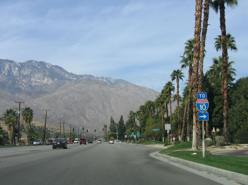
To Interstate 10, use Gene Autry Trail north all the way to Exit 123 at the north end of the city of Palm Springs. One can also follow California 111 northwest to Interstate 10, but that takes a bit longer. Photo taken 02/26/06. |
|
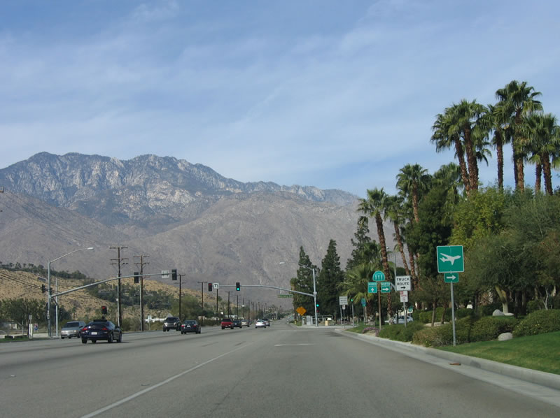
Palm Springs International Airport is located north of here, along California 111/Gene Autry Trail. Photo taken 02/26/06. |
|
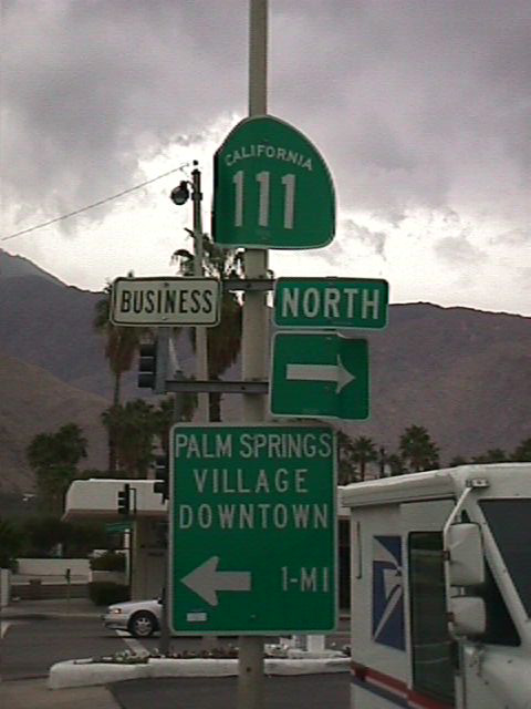
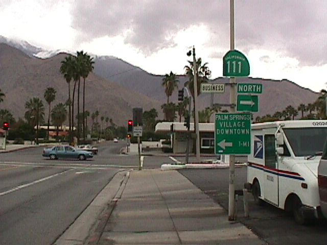
This is the only sign that indicates the business/regular California 111 split. California 111 is not really a bypass, since it has plenty of intersections and cross streets. It is definitely not a freeway route or even an expressway. Photo taken 02/26/06. |
|
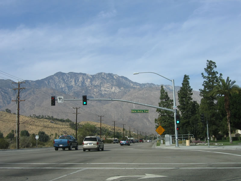
Mount San Jacinto dominates the view as northbound California 111 splits into a business route that continues straight ahead and the main route, which travels north on Gene Autry Trail, then turns west on Vista Chino. Photo taken 02/26/06. |
|
Now on Gene Autry Trail, California 111 narrows from four to two lanes. Photo taken 02/26/06. |
|
At this stop sign, the right lane becomes exit only to Eagle Way. The left lane carries California 111 over Tahquitz Creek and Palm Canyon Wash. Photo taken 02/26/06. |
|
Now on Vista Chino, California 111 approaches Palm Canyon Drive. Turn left to follow California 111 Business (Palm Canyon Drive) south to downtown Palm Springs; turn right to follow California 111 northwest to the Palm Springs Aerial Tramway. Photo taken 02/26/06. |
|
|
California 111 Business is defined as following Palm Canyon Drive through downtown Palm Springs, while California 111 travels around downtown on northbound Sunrise Way and westbound Vista Chino. These pictures were taken over five years before the picture shown in the previous photobox. The vantage point was from northbound California 111 (westbound Vista Chino) in Palm Springs. Photos taken 11/11/00.
|
|
Now back on Palm Canyon Drive, California 111 travels northwest toward the aerial tramway and Interstate 10 (Exit 112). Photo taken 02/26/06. |
|
The highway turns northwest as it passes by motels and related business. Photo taken 02/26/06. |
|
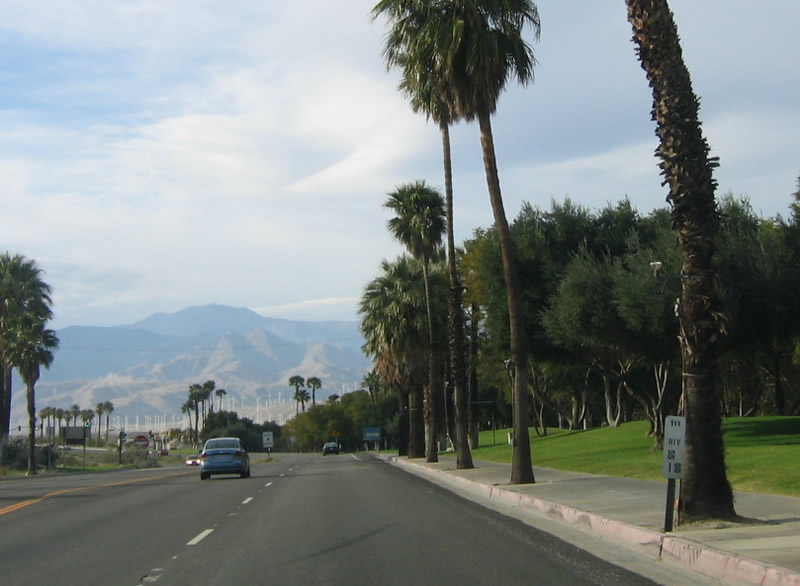
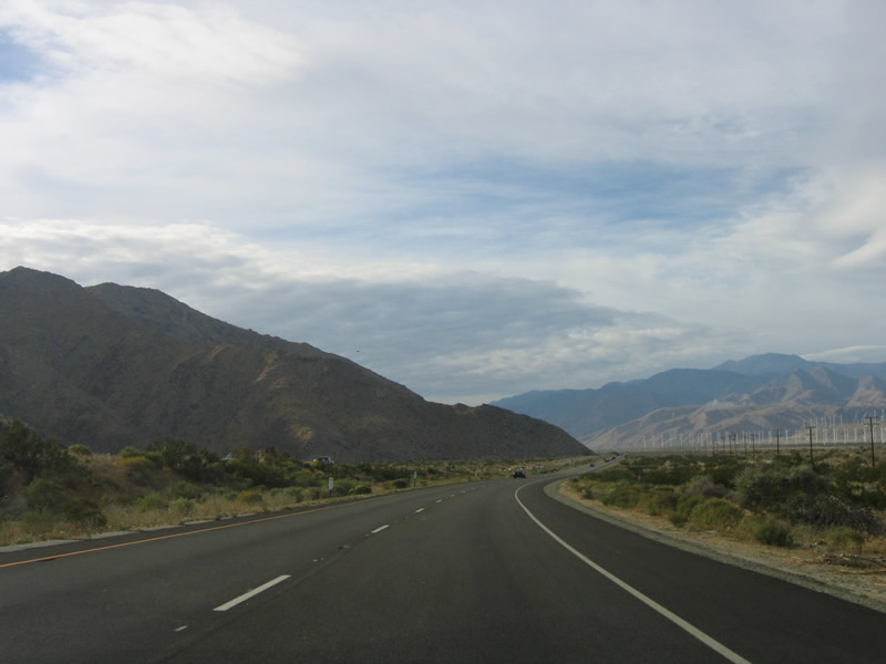
In the distance, Mount San Gorgonio comes into view, as well as the multitude of wind turbines that line the Interstate 10 corridor through San Gorgonio Pass. Photo taken 02/26/06. |
|
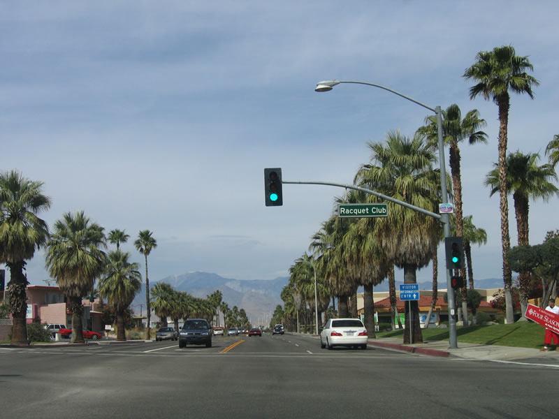
The third remaining traffic signal on northbound California 111 is at the Racquet Club Road intersection. This road travels east to Palm Springs Country Club. Photo taken 02/26/06. |
|
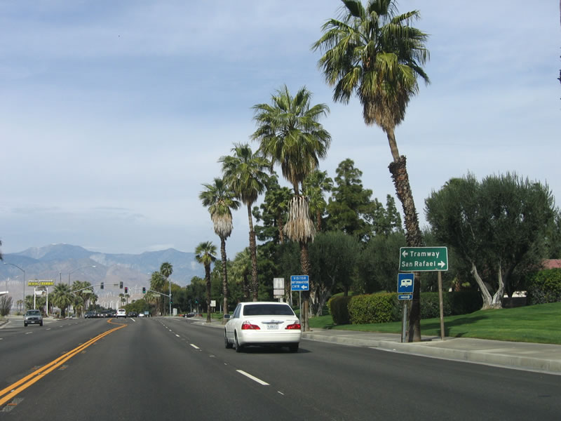
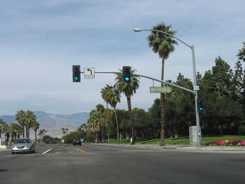
Continuing northwest, the next traffic signal is with Tramway Road southwest and San Rafael Road east. Tramway Road leads to the famous Palm Springs Aerial Tramway, which leads to the top of Mount San Jacinto and Mount San Jacinto State Park. Photo taken 02/26/06. |
|
Northbound California 111 connects with Tramway Road and San Rafael Road at this traffic signal. Photo taken 02/26/06. |
|
A postmile marker for California 111 is located after the Tramway Road intersection. Photo taken 02/26/06. |
|
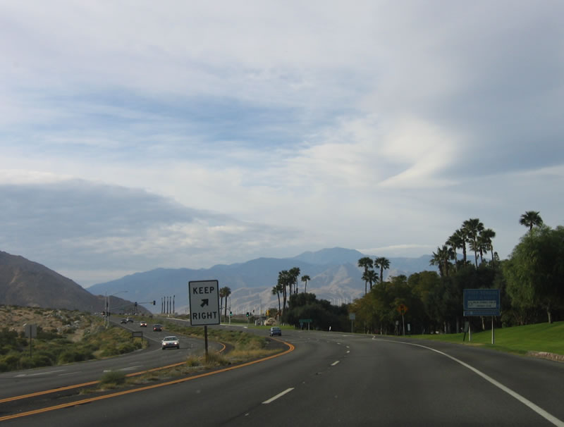
Leaving the residential and commercial sections of Palm Springs behind, California 111 widens into an expressway configuration for the remaining distance to Interstate 10. Photo taken 02/26/06. |
|
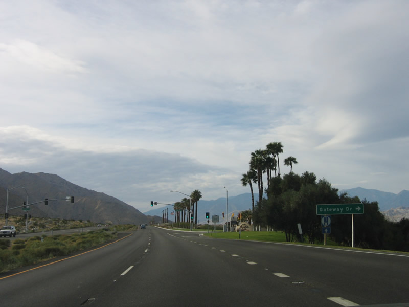
The final traffic signal along northbound California 111 is at the Gateway Drive intersection. Photo taken 02/26/06. |
|
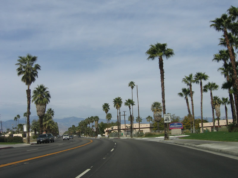
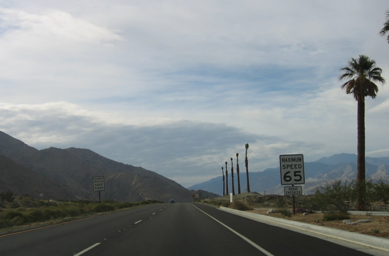
The speed limit along California 111 increases to 65 miles per hour. Photo taken 02/26/06. |
|
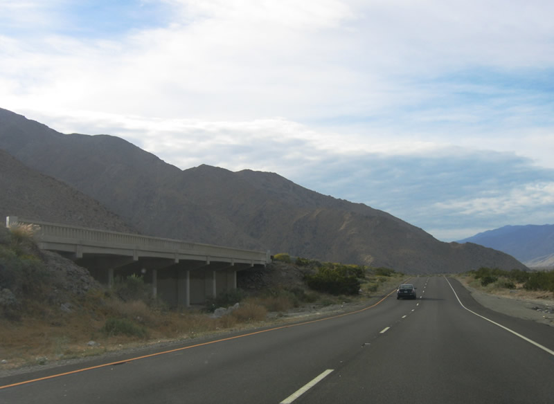
While the northbound lanes travel over the bottom of a wash, the southbound lanes traverse the same wash on a bridge. Photo taken 02/26/06. |
|
|
|
|
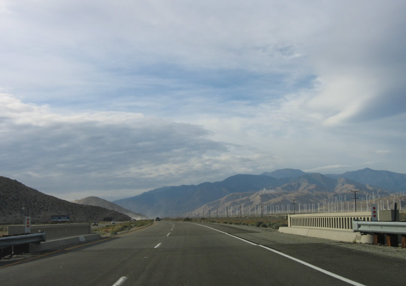
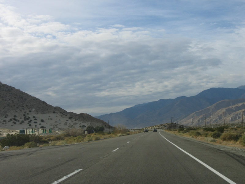
Wind turbines come into view as California 111 passes over several washes on its way toward Interstate 10 in northwestern Palm Springs. Photos taken 02/26/06. |
|
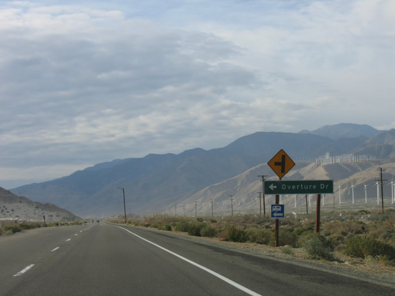
A newer development is located on the southwestern side of California 111, at the Overture Drive turnoff. Photo taken 02/26/06. |
|
|
A stiff wind was blowing through the area, causing sand to fly from a residential construction area across the highway. Small sand dunes helping exacerbate the situation by adding more dust to the blowing winds. Photos taken 02/26/06. |
|
|
A newer bridge with rails similar to those found in the Southeastern United States is located along northbound California 111 as the expressway crosses over washes associated with either the Whitewater River or the San Gorgonio River. Photos taken 02/26/06. |
|
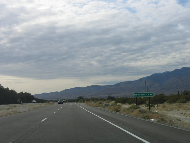
Turn north onto Tipton Road to cross the railroad tracks and connect to the small community of Whitewater near Exit 114 off Interstate 10. Photo taken 02/26/06. |
|
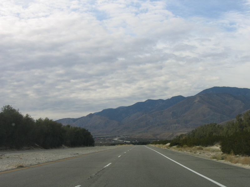
After the Tipton Road intersection, California 111 takes on an old-style expressway feel. Sections of this portion of California 111 remain unchanged from when the highway was constructed as an expressway. Photo taken 02/26/06. |
|
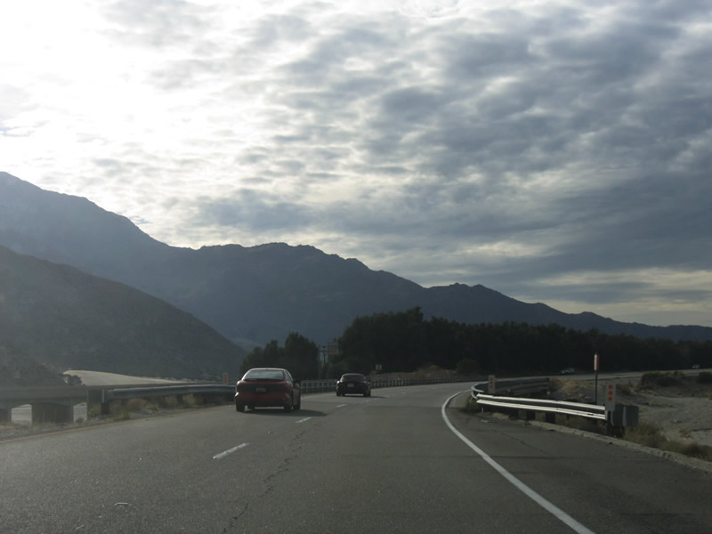
The foothills of Mount San Gorgonio come into view as California 111 sweeps westward toward its inevitable rendezvous with Interstate 10. Photo taken 02/26/06. |
|
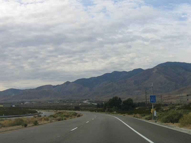
The final at-grade intersection along westbound California 111 is with Snow Creek Road. Photo taken 02/26/06. |
|
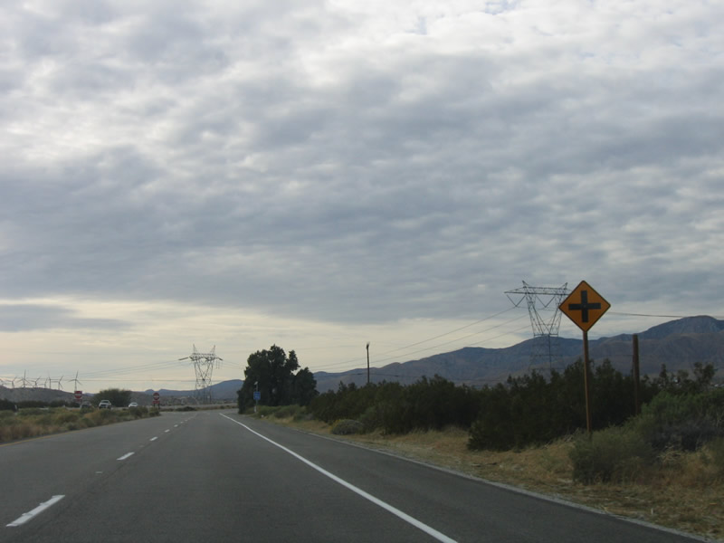
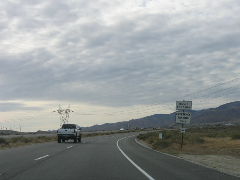
After Snow Creek Road, the California 111 freeway begins. A 500-kV power line, which carries electricity between Palo Verde Nuclear Power Plant in Arizona west to a large substation in Orange County near the convergence of California 91 and California 55, passes over California 111 here. Photo taken 02/26/06. |
|
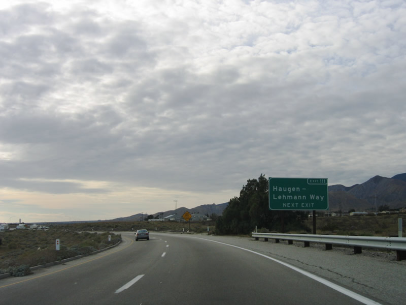
The next exit is actually an exit from Interstate 10: Exit 111, Haugen-Lehmann Way. Photo taken 02/26/06. |
|
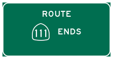
An end California 111 (well, "Highway 111") sign assembly (see next photobox) used to be present here, but it is gone now. California 111 crosses over Interstate 10 here, then prepares to merge directly onto the eight-lane freeway. Photo taken 02/26/06. |
|
California 111 and Interstate 10 converge at the northwestern city limits of Palm Springs. California 111 ends at the junction where the California 111 expressway merges with the Interstate 10 freeway. This non-standard sign, which was removed by February 2006, does not have a standard California 111 shield. Photo taken 11/11/00.
|
|
Haugen Lehman Way serves the community of San Gorgonio and connects to Cottonwood Road and Tamarack Road. The old alignment of U.S. 60-70-99 can also be reached at this exit; the frontage road on the south side of the freeway adjacent to the railroad is the historic route. Photo taken 02/26/06. |
|
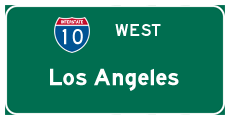
Traffic from California 111 merges onto westbound Interstate 10. Thus ends California 111, one of the great desert highways. Photo taken 02/26/06. |
Page Updated April 29, 2006.