Interstate 25 Northbound - Platte County
| I-25/U.S. 87 North | |
|---|---|
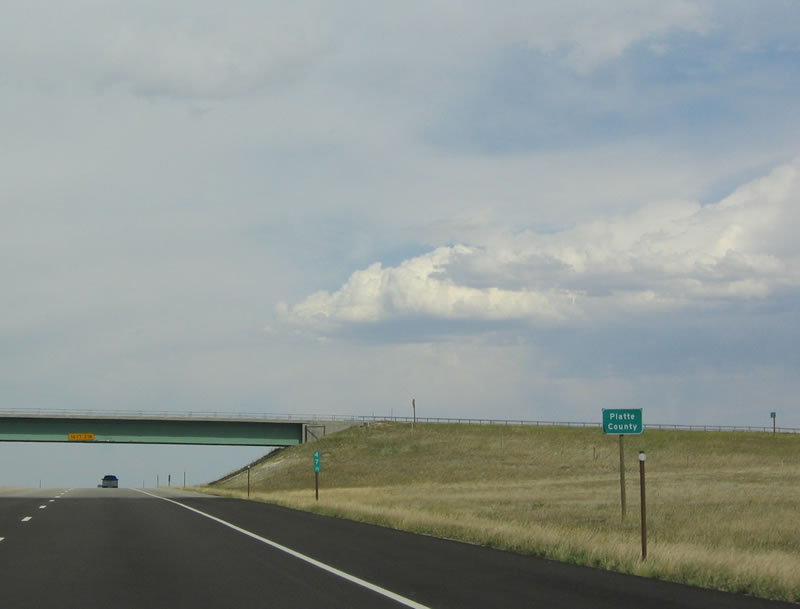 |
Interstate 25 and U.S. 87 leave Laramie County and enter Platte County upon reaching the overpass for Bear Creek Road. Photo taken 09/01/04. |
 |
A rest area is located north of the county line, at the Chugwater exit. Other services are also available at this exit (Exit 54, Junction Business Loop I-25/Wyoming 321). Photo taken 09/01/04. |
 |
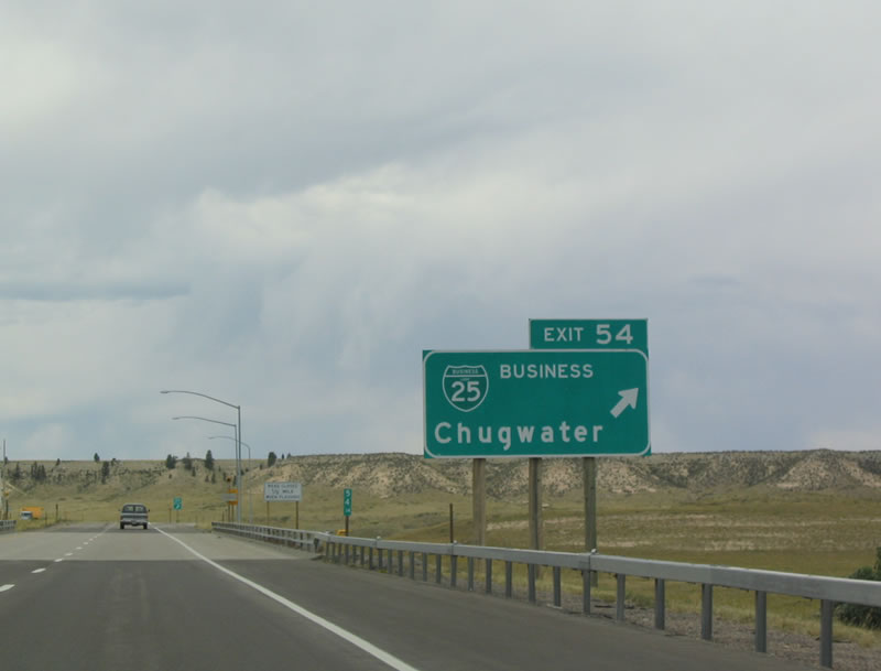
The next exit is Exit 54, Junction Business Loop I-25, which is shown on most maps as Wyoming 321. Either way, the business route follows the original route of U.S. 87 through the tiny Platte County community of Chugwater. Photo taken 09/01/04. |
 |
The town of Chugwater was first laid out in 1886 as a frontier ranching community. As of the 2000 Census, 244 people live in Chugwater, and approximately 235 live there as of 2004. Swan Land and Cattle Company was involved in the formative years of the town; an engineer from the company designed the town's layout. At 5,288 feet, Chugwater is just over a mile high in elevation. Photo taken 09/01/04. |
 |
Due to the distance between Chugwater and Wheatland, no motorist services (food, gas, motel) are available between Exit 54 and Exit 78, a distance of 25 miles. Use the business loop in Chugwater for these services. Chugwater's unique name is related to a story about an Indian who corralled buffalo to a cliff. As the buffalo stampeded, they fell over the cliff, landing in what is now known as Chugwater Creek. The sound the buffalo made as they landed was described as a "chug," hence the name Chugwater. Photo taken 09/01/04. |
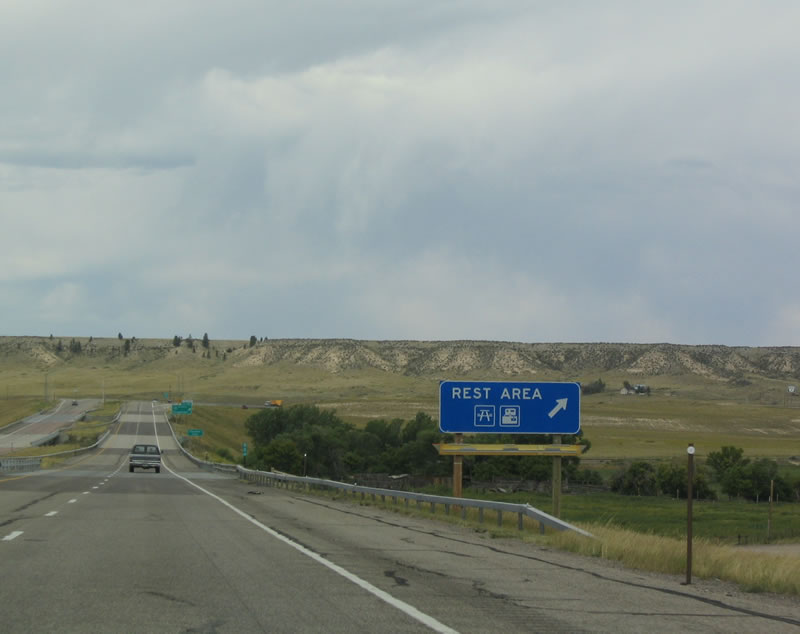 |
Use Exit 54 for a rest area with restrooms, parking, picnic tables, and septic dump for recreational vehicles. The rest area serves both directions of Interstate 25. Photo taken 09/01/04. |
 |
Northbound Interstate 25 and U.S. 87 reaches Exit 54, Junction Business Loop I-25/Wyoming 313, Iron Mountain Road. Follow Iron Mountain Road west to join southbound Wyoming 211 en route to Horse Creek. To the east, Iron Mountain Road connects directly onto Business Loop I-25, Business U.S. 87, and Wyoming 313 (To Wyoming 321) north to downtown Chugwater along the original alignment of U.S. 87 (Old U.S. 185) on First Street and TY Road. Photo taken 09/01/04. |
 |
This mileage sign provides the distance to Wheatland (23 miles) and Douglas (83 miles). Photo taken 09/01/04. |
 |
Northbound Interstate 25 and U.S. 87 reach Exit 57, Junction Business Loop I-25 and Wyoming 321, T Y Basin Road south to Chugwater and west to T Y Basin. Photo taken 09/01/04. |
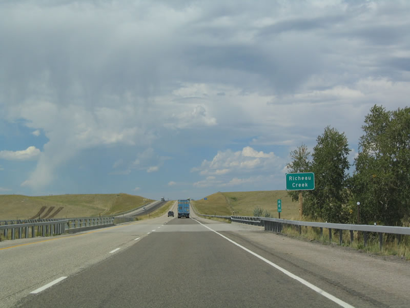 |
Nearing Exit 65, northbound Interstate 25 crosses Richeau Creek, which drains from the Laramie Mountains east to Chugwater Creek, which in turn flows north to the Laramie River. The Laramie River flows into the North Platte River, which crosses Nebraska en route to the Missouri River. Photo taken 09/01/04. |
 |
A parking area is located immediately after the Richeau Creek overcrossing. Photo taken 09/01/04. |
 |
The next exit along northbound Interstate 25 and U.S. 87 is Exit 65, Wyoming 314, Slater Road. Wyoming 314 travels east through Slater, crossing the Chugwater Creek before reaching the Slater Flats. The state highway ends prior to the Platte-Goshen County Line. Goshen County Route 124 connects Wyoming 314 to Wyoming 152 near Goodland in Goshen County. Photo taken 09/01/04. |
 |
Northbound Interstate 25 and U.S. 87 reach Exit 65, Wyoming 314, Slater Road. Follow Wyoming 314 east to Wyoming 315, which follows Pioneer Road for three miles north of Wyoming 314 and ends at Bordeaux Road (Platte County Route 232). Photo taken 09/01/04. |
 |
A parking area is located immediately after the Wyoming 314 interchange. Photo taken 09/01/04. |
 |
This parking area is relatively small when compared to other parking areas in the state. Photo taken 09/01/04. |
 |
The next exit along northbound Interstate 25/U.S. 87 is Junction Platte County Route 263, Hunton Road. Photo taken 09/01/04. |
 |
Northbound Interstate 25 and U.S. 87 reaches Exit 66, Junction Platte County Route 263, Hunton Road. Photo taken 09/01/04. |
 |
At the time this photo was taken, the mileage sign was being replaced with an identical mileage sign. Wheatland is 13 miles north of here, and Casper is 122 miles north of here. Photo taken 09/01/04. |
 |
The next exit along northbound Interstate 25 and U.S. 87 is Exit 68, Antelope Road. Photo taken 09/01/04. |
 |
Northbound Interstate 25 and U.S. 87 reaches Exit 68, Antelope Road. Photo taken 09/01/04. |
 |
Another set of reassurance shields is posted after the Antelope Road interchange. Photo taken 09/01/04. |
 |
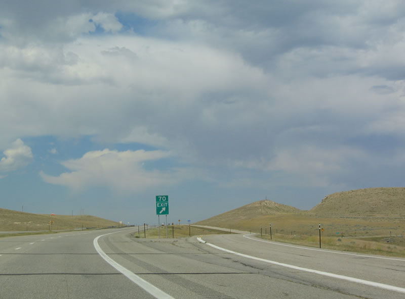
The next exit along northbound Interstate 25 and U.S. 87 is Exit 70, Junction Platte County Route 232, Bordeaux Road. Use Bordeaux Road east to Bordeaux, which sits along the Burlington Northern Santa Fe Railroad and Chugwater River. Photo taken 09/01/04. |
 |
A windsock is affixed to the top of the "Strong Wind Possible" caution sign, helping to provide motorists a sense of the extent of wind speed in the area. Photo taken 09/01/04. |
 |
Northbound Interstate 25 and U.S. 87 reaches Exit 70, Junction Platte County Route 232, Bordeaux Road. Photo taken 09/01/04. |
 |
The next exit along northbound Interstate 25 and U.S. 87 is Exit 73, Wyoming 34 west to Laramie. Wyoming 34 is an east-west highway that connects Interstate 25 with U.S. 30-287. The route generally follows Sybille Creek over the Laramie Mountains. Photo taken 09/01/04. |
 |
Northbound Interstate 25 and U.S. 87 reaches Exit 73, Wyoming 34 west to Laramie. Historically, Wyoming 34 first appeared as Wyoming 26 in the 1926 official Wyoming map, and it was an implied continuation of U.S. 26. At that time, U.S. 26 was a rather short route extending from Interstate 25 east to Ogallala, Nebraska. It was not until 1950 that Wyoming 26 was renumbered as Wyoming 34 to avoid confusion with U.S. 26. U.S. 26 was extended west via U.S. 20 through Casper en route to Grand Teton National Park. Photo taken 09/01/04. |
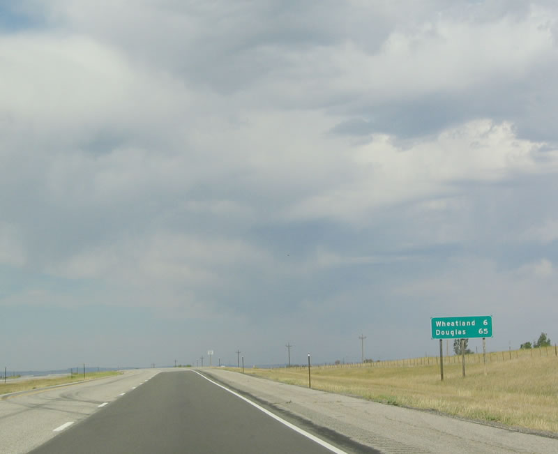 |
This mileage sign provides the distance to Wheatland (six miles) and Douglas (65 miles). Casper remains the control city. Photo taken 09/01/04. |
 |
The town of Wheatland is the seat of Platte County. Incorporated in 1905, Wheatland is home to 3,548 people as of the 2000 Census. The country's largest privately owned and operated irrigation system is located here, and it serves farms and ranches in the area surrounding Wheatland. Photo taken 09/01/04. |
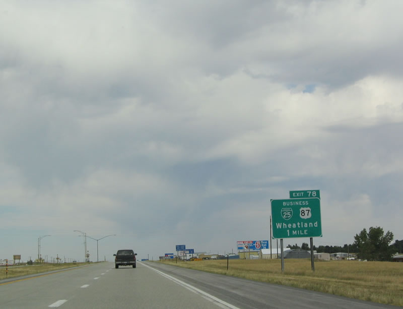 |
The freeway and business routes split at the next exit along northbound Interstate 25 and U.S. 87. At Exit 78, Business Loop I-25 and Business U.S. 87 depart the freeway via eastbound Mariposa Parkway, northbound South Wheatland Highway, eastbound South Street, northbound 9th Street, and northbound Swanson Road. Photo taken 09/01/04. |
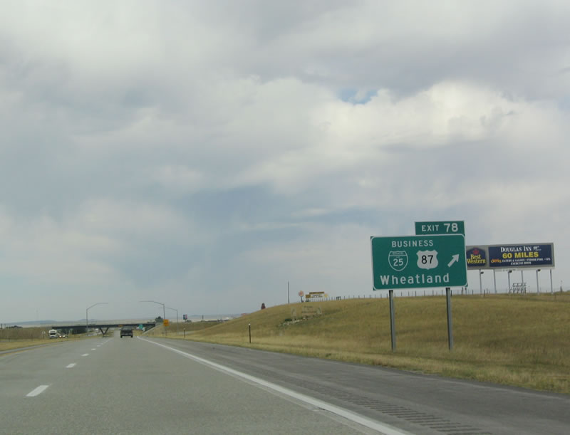 |
Northbound Interstate 25 and U.S. 87 reach Exit 78, Junction Business Loop I-25 and Business U.S. 87 (Mariposa Parkway). This is an older sign than the one depicted in the previous photobox; the Interstate shield is bigger in the newer sign, and the U.S. shield is less distorted (and therefore less distinctive) in the newer sign. Photo taken 09/01/04. |
 |
The Wheatland marginal has two overpass bridges that are relatively uncommon in Wyoming between Exits 78 and 80. Photo taken 09/01/04. |
 |
The next exit along northbound Interstate 25/U.S. 87 is Exit 80, Junction Business Loop I-25/Business U.S. 87/Swanson Road. Photo taken 09/01/04. |
 |
No services are available on Interstate 25 for another 17 miles after leaving Wheatland. Photo taken 09/01/04. |
 |
To reach the Laramie River Station power plant, follow Swanson Road (Business Loop I-25) east, Rompoon Road east, Wyoming 320 (Wheatland Highway) north, Fairview Road east, and Grayrocks Road east. The power plant is located near the Grayrocks Dam and Reservoir, which is located along the Laramie River. Photo taken 09/01/04. |
 |
Northbound Interstate 25/U.S. 87 reaches Exit 80, Junction Business Loop I-25/Business U.S. 87/Swanson Road south. To Old U.S. 87 (now Wyoming 320), follow the business route east to 9th Street. Photo taken 09/01/04. |
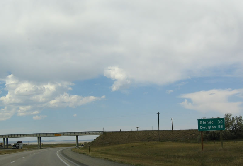 |
This mileage sign provides the distance to the community of Glendo. Photo taken 09/01/04. |
 |
Interstate 25 crosses the Laramie River, which cuts through the Laramie Mountains en route to its rendezvous with the North Platte River at Fort Laramie. Photo taken 09/01/04. |
 |
The next exit along northbound is Exit 84, Junction Platte County Route 47, Laramie River Road. Photo taken 09/01/04. |
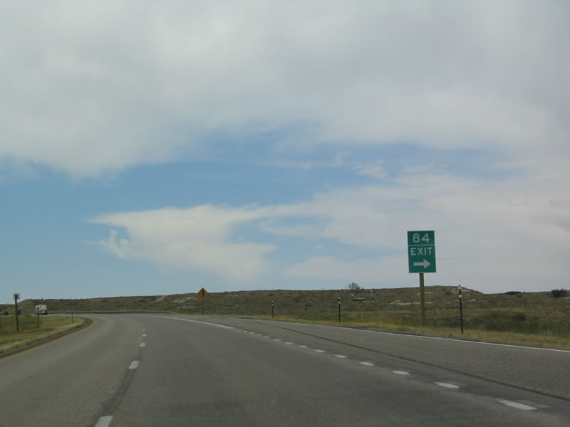 |
Northbound Interstate 25/U.S. 87 reaches Exit 84, Junction Platte County Route 47, Laramie River Road. Photo taken 09/01/04. |
 |
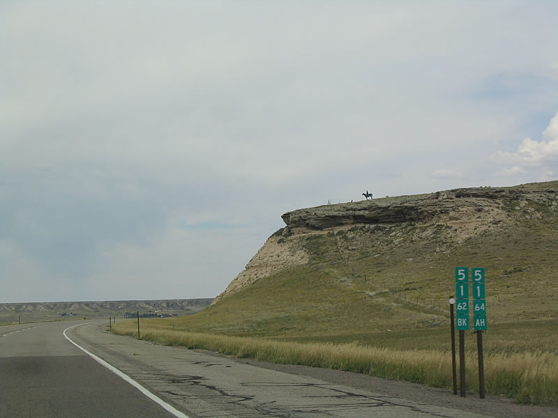
The vastness of the high altitude arid plains show the beauty and solitude of the sparsely populated areas. Photo taken 09/01/04. |
 |
The freeway next passes over the North Laramie River, which is also a tributary of the North Platte River. Photo taken 09/01/04. |
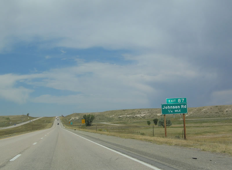 |
Continuing north, the next exit along northbound is Exit 87, Junction Platte County Route 192, Johnson Road. This road also serves ranch and farm access. Photo taken 09/01/04. |
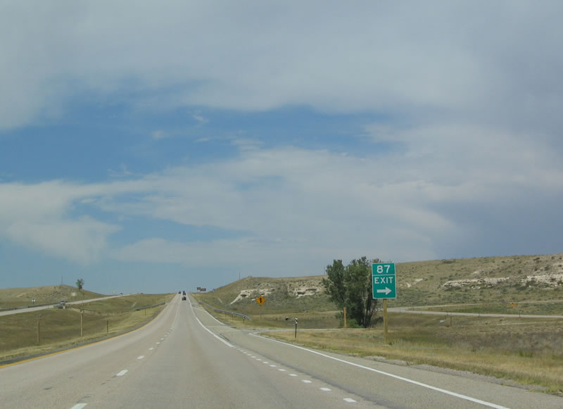 |
Northbound Interstate 25 and U.S. 87 reach Exit 87, Junction Platte River County Route 92, Johnson Road. Photo taken 09/01/04. |
 |
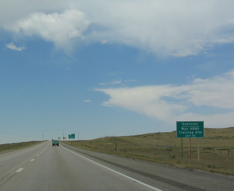
Exit 92 leads to Fort Laramie National Historic Site, which is a frontier-era military outpost. Photo taken 09/01/04. |
 |
U.S. 26 east to WYO 317 north connects I-25 with Guernsey State Park. Water recreation associated with Glendo Reservoir, as well as hiking and picnicking, are available at this site. Photo taken 09/01/04. |
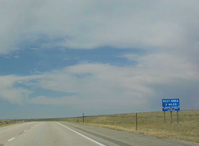 |
The next exit is Exit 91, Rest Area. A diamond interchange leads to a rest area, which is situated on the west side of the freeway. Photo taken 09/01/04. |
 |
Northbound Interstate 25 and U.S. 87 reach Exit 91, Rest Area. Restrooms, water, and phone are all available here. Photo taken 09/01/04. |
 |
The next interchange along northbound Interstate 25 is Exit 92, U.S. 26. This interchange is a high speed, tri-level stack interchange. U.S. 26 brings traffic onto Interstate 25 from Torrington, Lingle, and Scottsbluff. From here, U.S. 26 west joins Interstate 25 and U.S. 87 north. Photo taken 09/01/04. |
 |
Guernsey, a small town on the south end of Glendo Reservoir, is home to 1,147 people as of the 2000 Census. Photo taken 09/01/04. |
 |
Northbound Interstate 25 and U.S. 87 reach Exit 92, U.S. 26. Prior to 1950, the junction between U.S. 26 and U.S. 87 was the western terminus (now the intersection of U.S. 26 and Wyoming 320. With the extension of U.S. 26 west to the Oregon Coast, a portion overlaid the freeway all the way to Casper (Glenrock section notwithstanding). Photo taken 09/01/04. |
| I-25/U.S. 87 North U.S. 26 West | |
|---|---|
 |
When the gates are down and signs are illuminated, traffic must turn around here and return to Wheatland. Photo taken 09/01/04. |
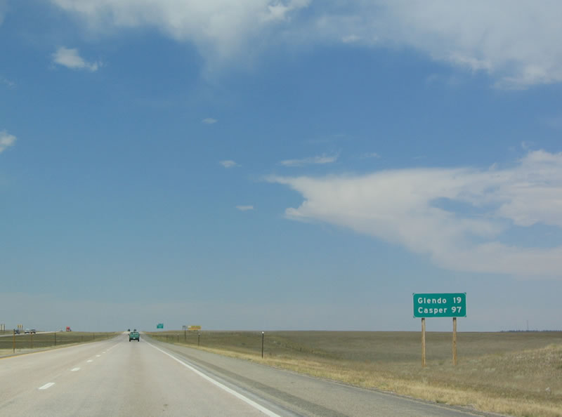 |
This sign provides the distance to Glendo (19 miles) and Casper (97 miles). Photo taken 09/01/04. |
 |
The next exit along northbound Interstate 25 is Exit 94, El Rancho Road. Historically, Old U.S. 87 and U.S. 185 followed Platte County Route 117/Pepper Road southeast. To the west, Platte County Route 114 follows Fish Creek Road east toward Albany Peak. Photo taken 09/01/04. |
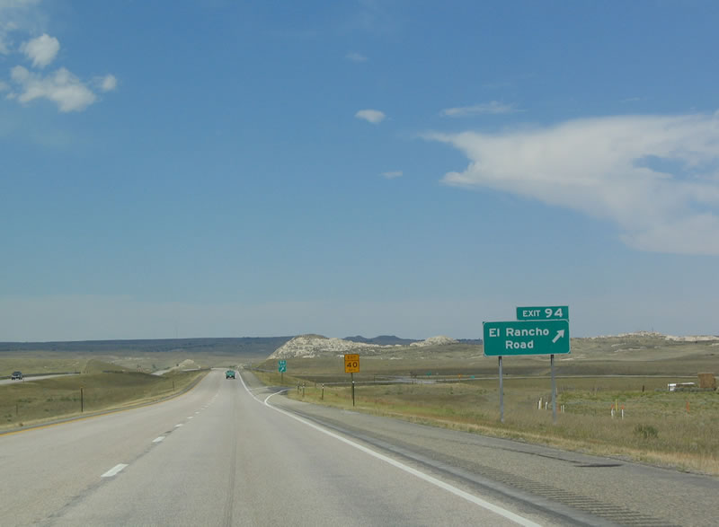 |
Northbound Interstate 25 and U.S. 26-87 reaches Exit 94, El Rancho Road. Photo taken 09/01/04. |
 |
This is a scenic view of some badlands near the freeway Exit 94. Photo taken 09/01/04. |
 |
Interstate 25 crosses over the Cottonwood Creek. Photo taken 09/01/04. |
 |
The next exit is Exit 100, Wyoming 319, Cassa Road. Photo taken 09/01/04. |
 |
Northbound Interstate 25 and U.S. 26-87 reaches Exit 100, Wyoming 319, Cassa Road. Wyoming 319 again follows the old alignment of U.S. 26-87-185 toward Glendo Reservoir. Photo taken 09/01/04. |
 |
The next exit along northbound is Exit 104, Middle Bear Road. Photo taken 09/01/04. |
 |
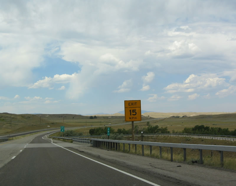
The offramp from northbound Interstate 25 and U.S. 26-87 is substandard, with limited deceleration lanes and a very sharp turn. Photo taken 09/01/04. |
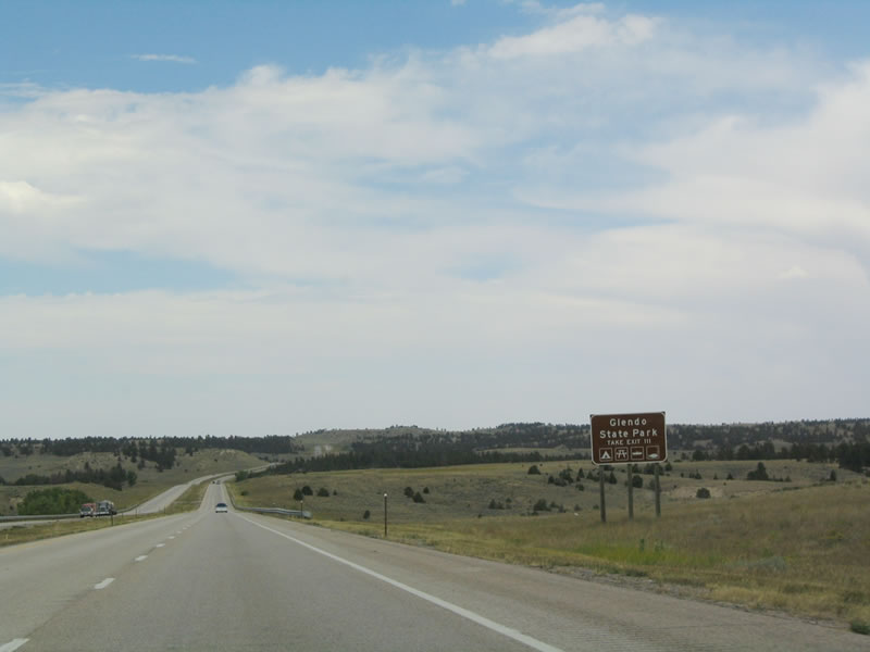 |
Use Exit 111 to the town of Glendo and to the Glendo Reservoir, and Glendo State Park. After Exit 111, the reservoir can be seen from the freeway. Photo taken 09/01/04. |
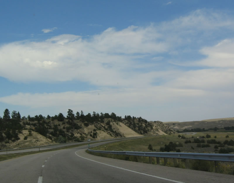 |
Scenic bluffs line Interstate 25 as the freeway approaches the Glendo area. Photo taken 09/01/04. |
 |
The next exit along northbound Interstate 25 and U.S. 26-87 is Exit 111, Glendo. Glendo is home to 229 people as of the 2000 Census. Photo taken 09/01/04. |
 |
The stand of trees to the east of the freeway is the town of Glendo. There are no additional services on northbound Interstate 25 for another 17 miles after Exit 111. Photo taken 09/01/04. |
 |
Northbound Interstate 25 and U.S. 26-87 reach Exit 111, Horseshoe Creek Road west and A Street east to Wyoming 319/Yellowstone Highway. Photo taken 09/01/04. |
 |
This is the gore point for the offramp to Exit 111. Photo taken 09/01/04. |
 |
A reassurance shield assembly is placed after the Glendo interchange. The next interchange is 15 miles north of here in Converse County. Photo taken 09/01/04. |
 |
Douglas, located in Converse County, is 26 miles northwest of here, while Casper is about 75 west of here. Interstate 25 north changes directions , as it is generally southeast-northwest between Glendo and Douglas and east-west between Douglas and Casper. Photo taken 09/01/04. |
 |
A huge cut in this mountain allowed for the freeway to continue straight ahead rather than go around the mountain. Photo taken 09/01/04. |
 |
The weather cleared up substantially as Interstate 25 and U.S. 26-87 pushed north of the weather disturbance. This view is afforded after the Glendo exit and prior to the Converse County line. Photo taken 09/01/04. |
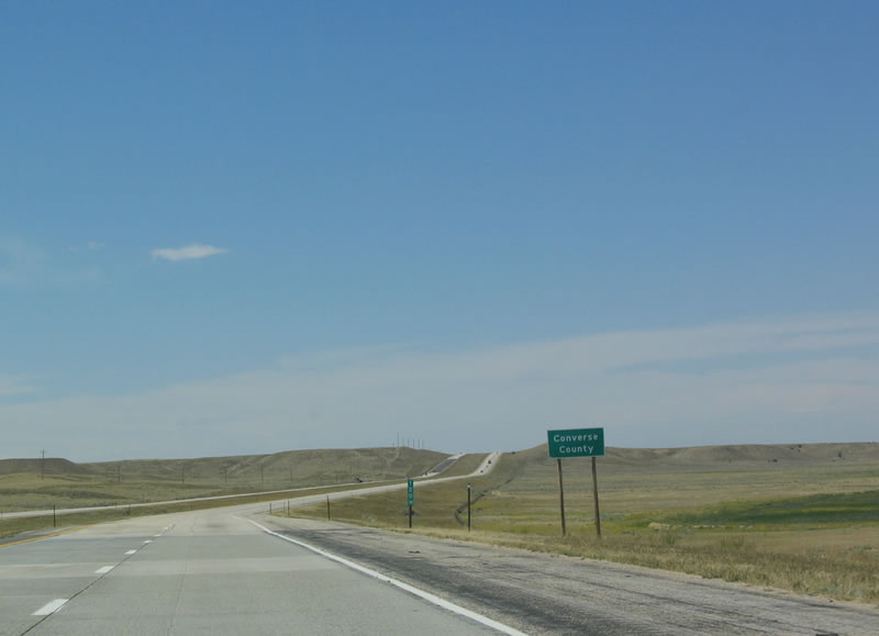 |
Northbound Interstate 25/U.S. 87 and westbound U.S. 26 depart from Platte County and enter Converse County. Photo taken 09/01/04. |
 |
 |
Page Updated October 26, 2005.
|
About Contact FAQ |
Spotlights Testimonials Interstate Guide |
Social Media:
 |
|
© 2000-23 AARoads.com | All Rights Reserved | Privacy Policy / Terms of Use
|
||