Monthly Archives: January 2016

Updates and Road News for the week of January 25

Well no big snowstorm this week, at least for the east coast. The western U.S. however is receiving a large storm system, with heavy rains and mountain snows. Rainy now across #SierraNevada passes but that'll change this evening as snow levels drop. Plan ahead! #cawx pic.twitter.com/x3omK3JV2t — NWS Sacramento (@NWSSacramento) January 29, 2016 Now on to the road news and updates for this week at AARoads. Today we completed adding [...]

By |2018-01-18T15:19:32-05:00January 29th, 2016|Arkansas, Interstate Highways, Kentucky, North Carolina, South Carolina, United States|Comments Off on Updates and Road News for the week of January 25

1946 Baltimore and 1956 Hawaii Maps

In addition to the recent 1942 Washington, D.C. map we acquired, we got our hands on some other goodies, including a city map of Baltimore, Maryland and a map of the Hawaiian Islands including a Honolulu street map. We'll touch on some of the highlights for the Baltimore map before moving onward to the Aloha state. The Baltimore city map is a Rand McNally base with a date code of [...]

By |2018-01-13T16:47:37-05:00January 26th, 2016|Hawaii, Highways, Maps, Maryland|Comments Off on 1946 Baltimore and 1956 Hawaii Maps

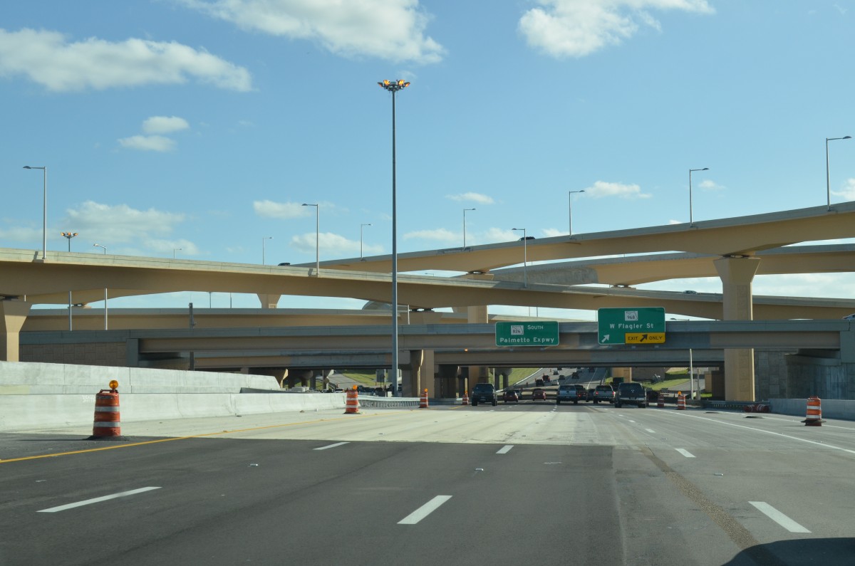
South Florida Road Updates – January 23

Spent a few hours driving around South Florida, revisiting a few areas previously covered to see construction progress on a number of projects. The main changes throughout Broward and the Miami area involve adding high occupancy toll (HO/T) lanes and the conversion of toll roads to All Electronic Tolling (AET). Coinciding with the toll projects are additions of flyovers at some exits and a complete overhaul at others. [...]

By |2018-01-18T15:19:32-05:00January 25th, 2016|Florida, Interstate Highways|1 Comment

Updates and Road News for the week of January 18

While a blizzard dumps one to two feet snow on the Mid-Atlantic and Northeast, here's a look at some of the updates at AARoads this week. Contributor Peter Johnson sent in some photos he took this week of Wisconsin 172, which we combined with some photos we took of the state trunk highway back in 2011 for a new guide. The short east-west route forms a freeway between I-41 and [...]

By |2018-01-18T15:19:47-05:00January 22nd, 2016|Georgia, Indiana, Interstate Highways, South Carolina, Wisconsin|Comments Off on Updates and Road News for the week of January 18

Washington, D.C. 1942 Map

We recently picked up a Washington, DC area map with a General Drafting base dated from 1942. This map may be the oldest we have of the capital city in our collection, and it definitely shows signs of aging having been torn into three separate sections. The fragile nature of the map made scanning it difficult, so we broke down the imagery into a few excepts. Let's take a further [...]

By |2018-01-18T15:19:48-05:00January 20th, 2016|D.C., Maps, U. S. Highways|1 Comment
Go to Top