
the fourth fifth day of our trip. The fourth day was spend snowed in in sunny East Anchorage, where 16 inches fell overnight. Remember that storm that we escaped in the mountains to get to Anchorage? Well, it found us. However, Anchorage has the best snowplow routine I’ve ever seen, and we could’ve gotten out of there by noon, had we not been zonked. We waited ’til about 6 the next morning. Good enough. We’re still ridiculously ahead of schedule, thanks to those brilliant 120mph speed limits.
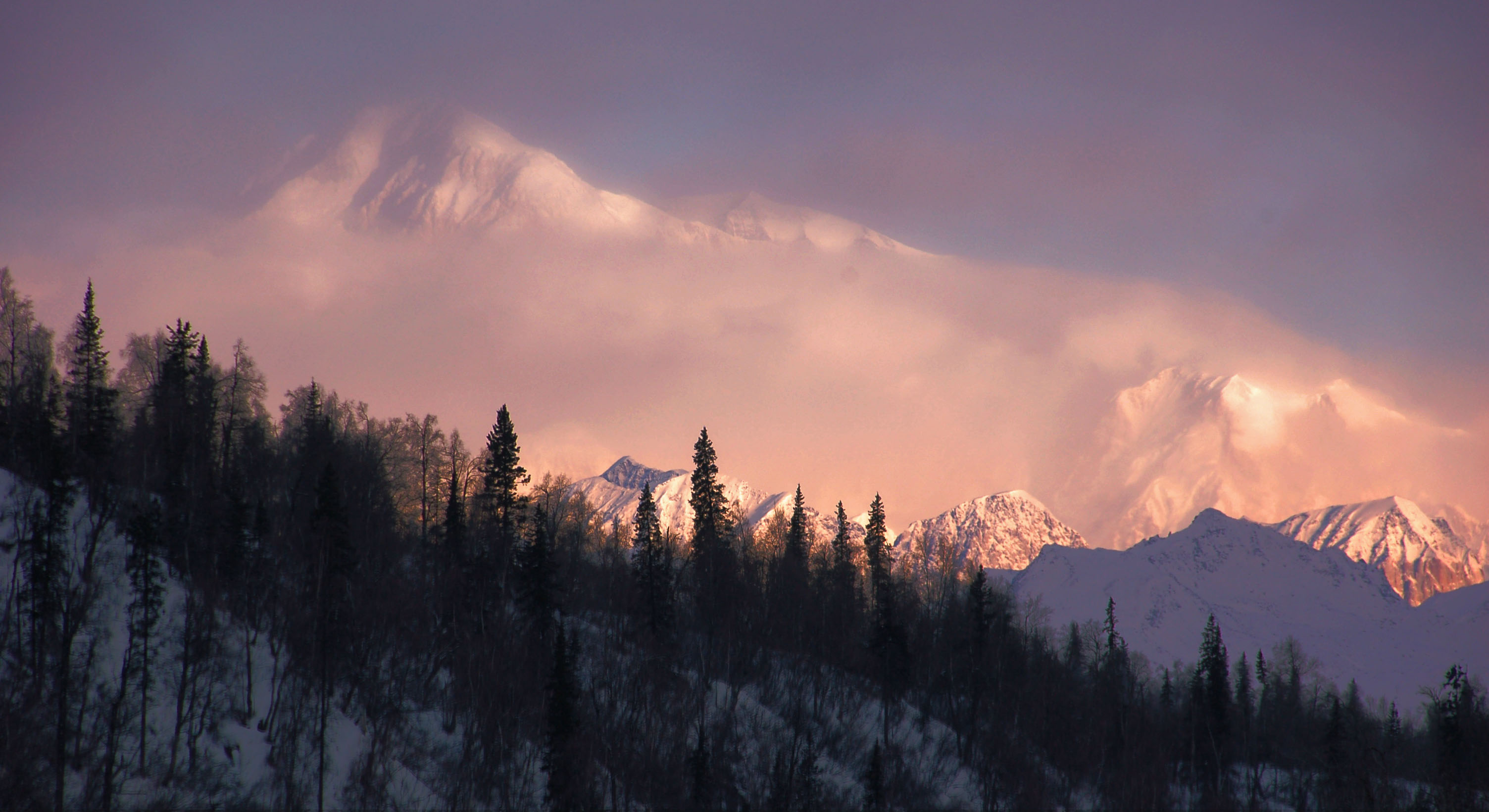
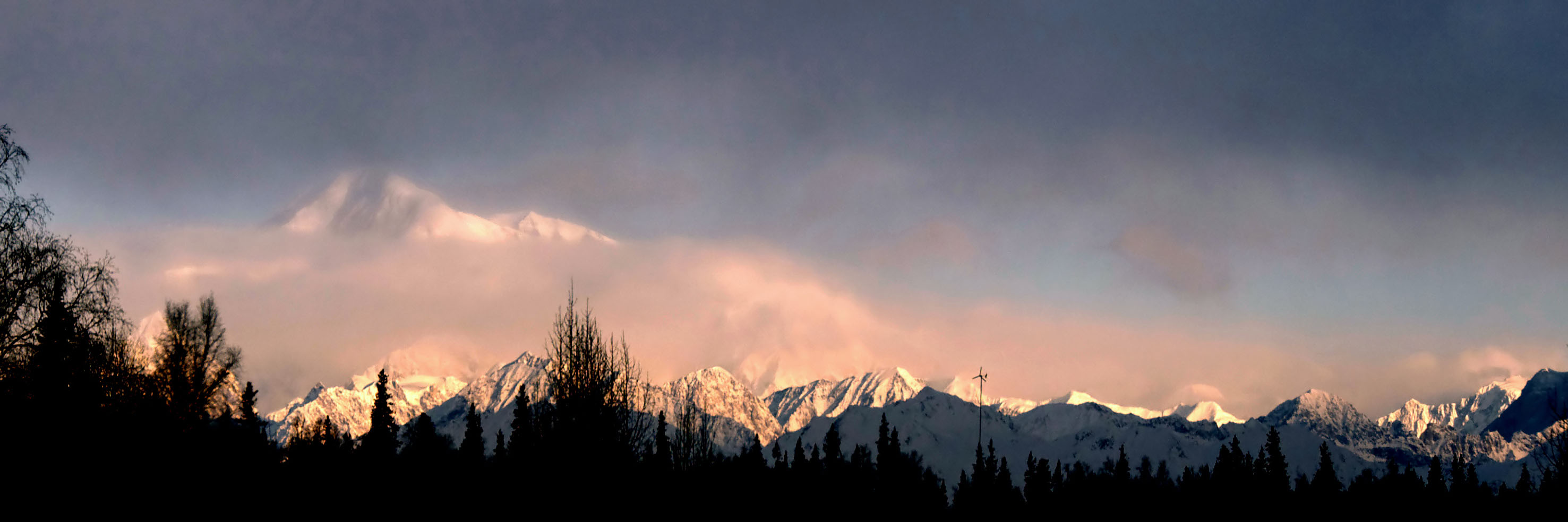
Mt. McKinley! This is an early morning shot, which is usually the best time to see the mountain, before a mid-level fog tends to vanish it. In fact, several minutes after this photo, the mountain was no longer visible. This is fairly late in the morning, but at this latitude, 8-12 hours of red twilight per day are common. In this photo, the mountain is about 80 miles away.
On the road to Fairbanks. Here is where our trip was the coldest – minus 6 degrees Fahrenheit.
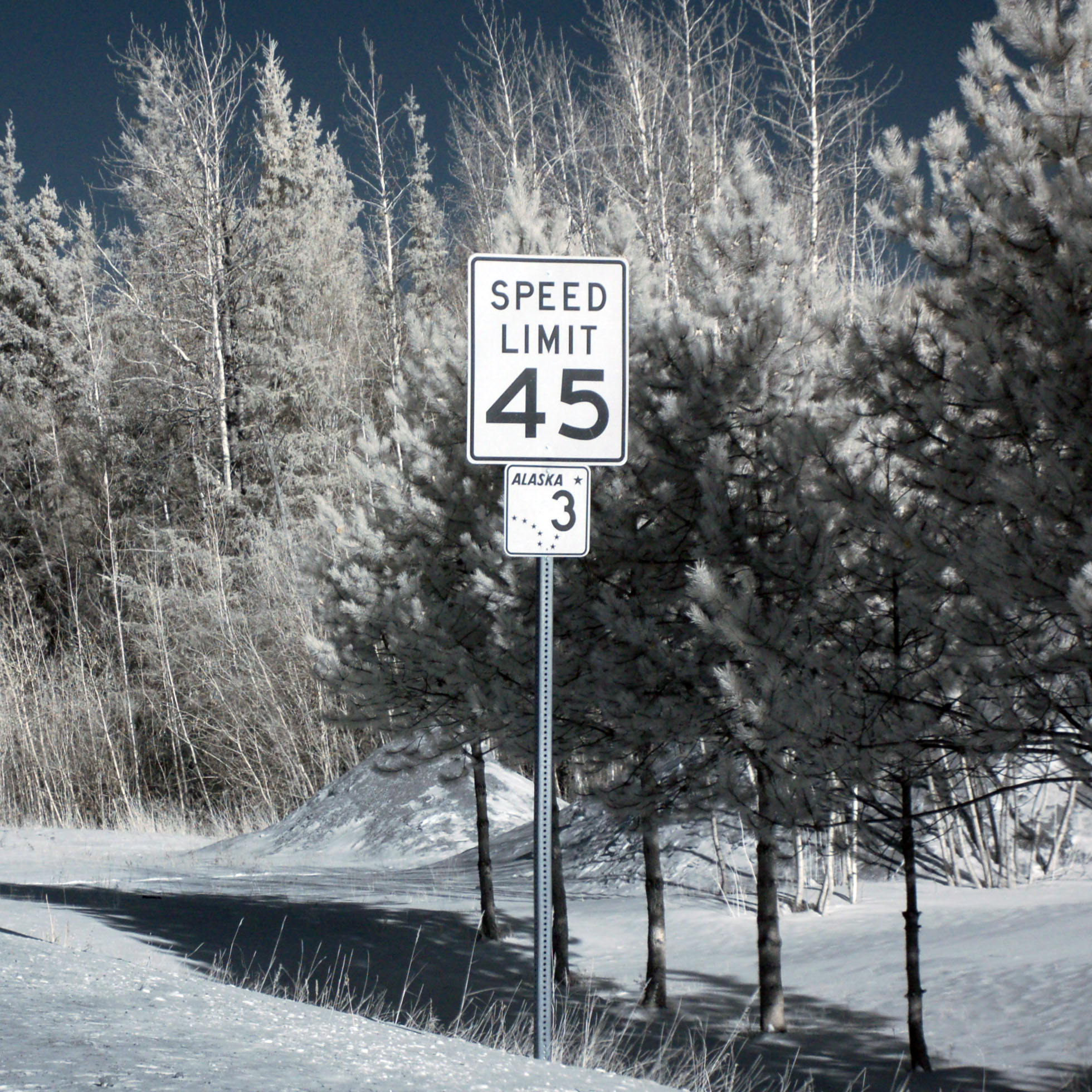
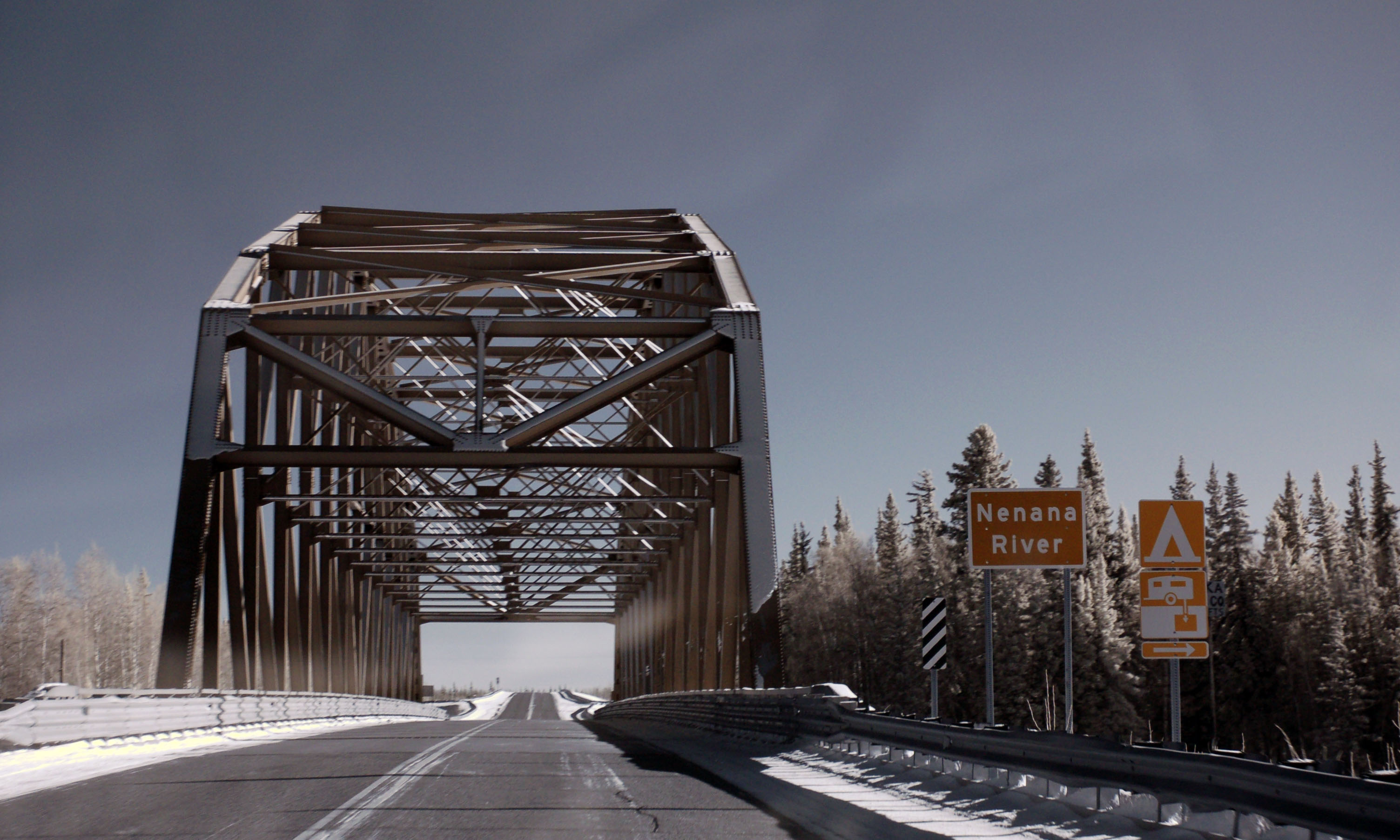
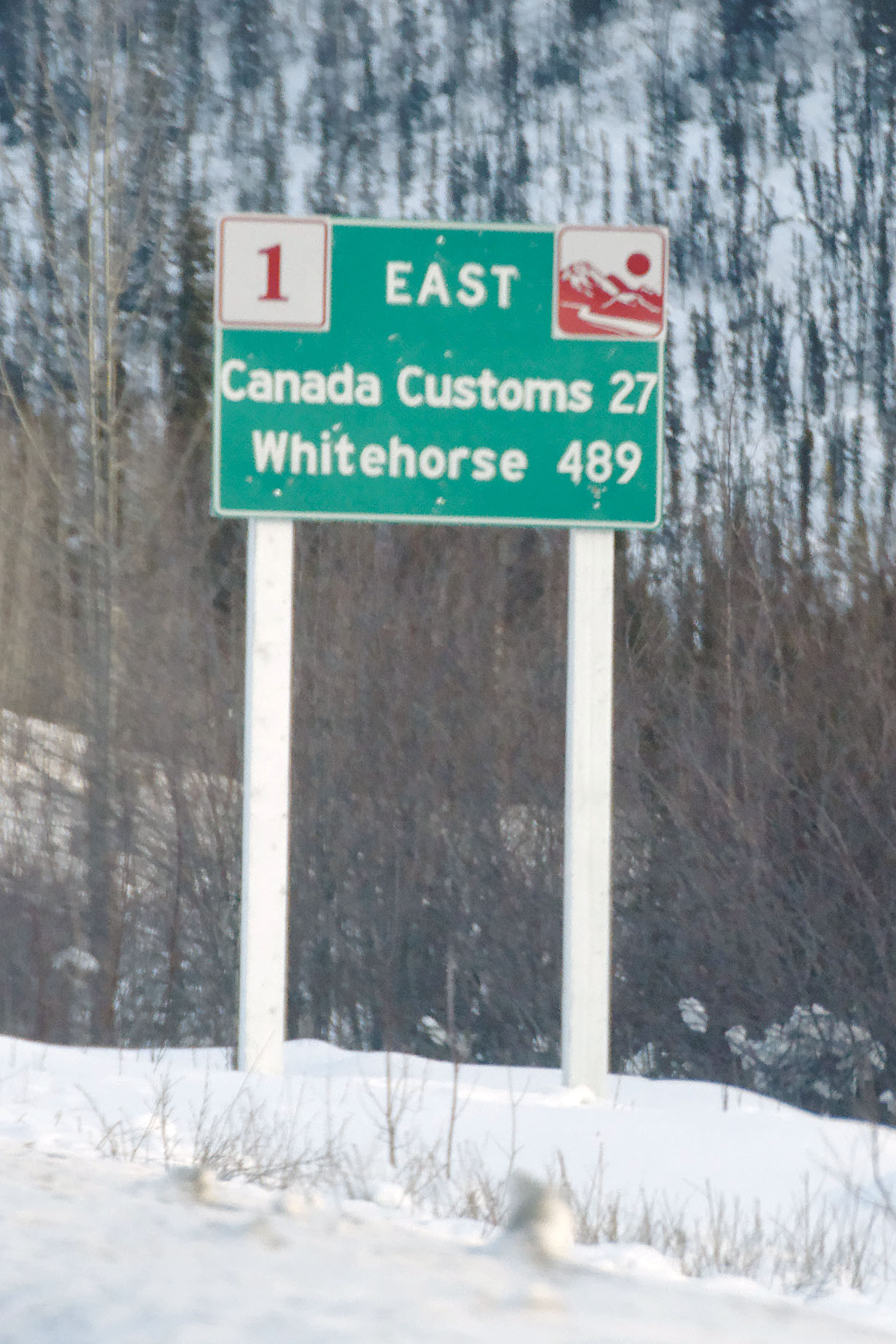
This 16″ state highway 3 marker with a 1962 date stamp survives. The bridge that this sign serves dates to 1968, so they must’ve moved the sign from somewhere in town to the bypass – and hung it on the first available pole.
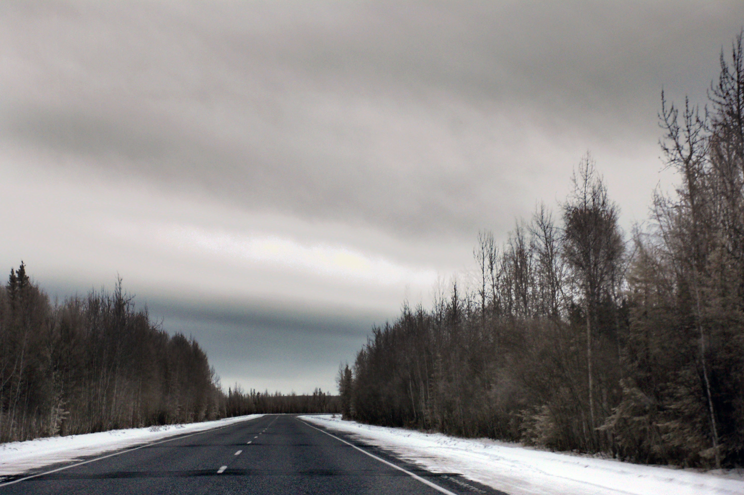
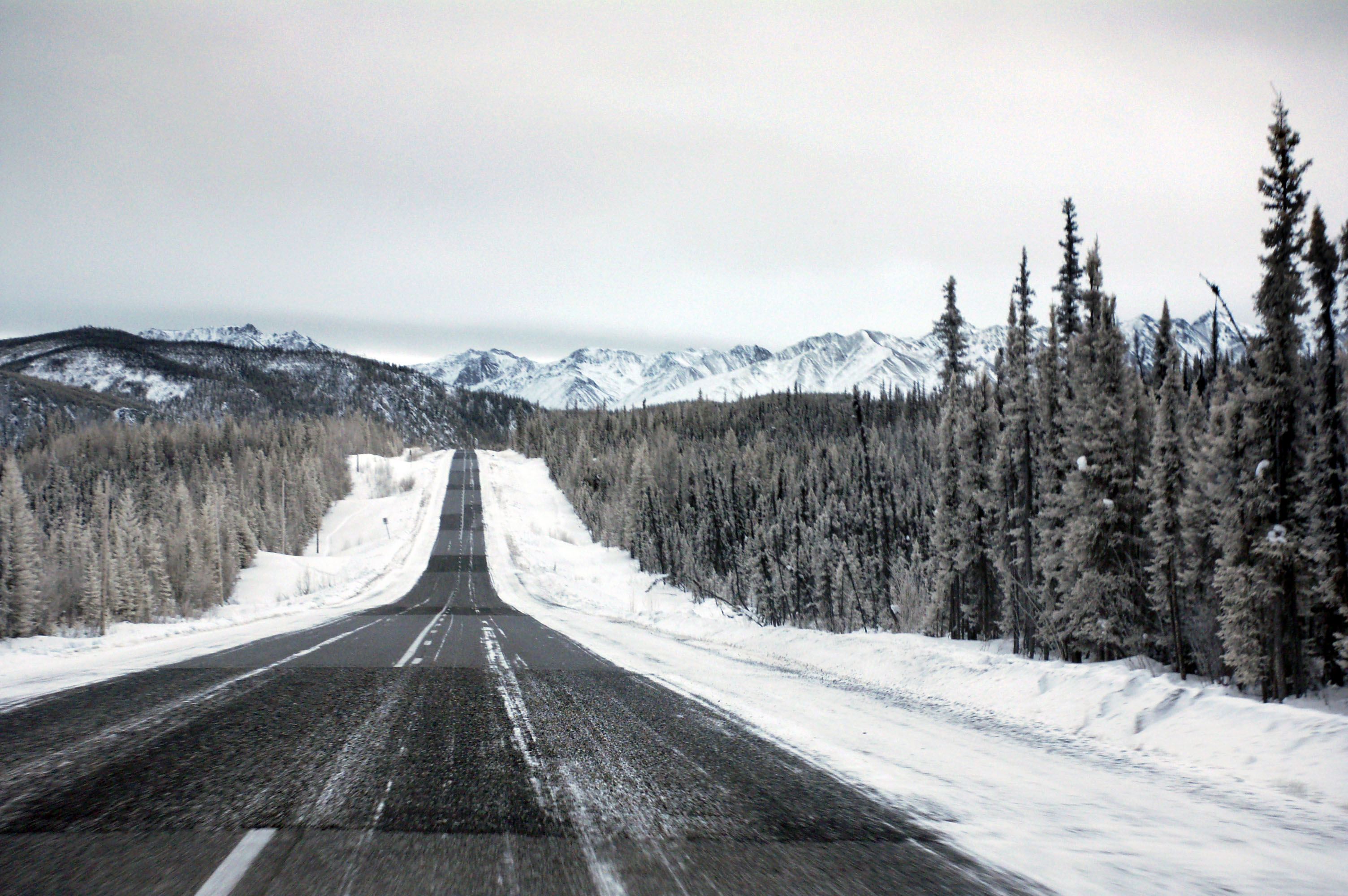
Completely whitewashed overcast from just outside Fairbanks, all the way to Tok Junction.
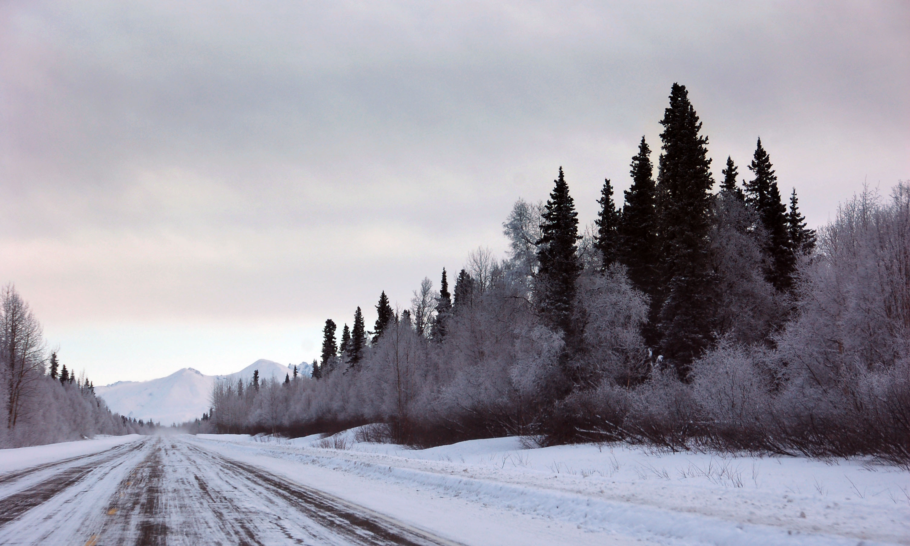
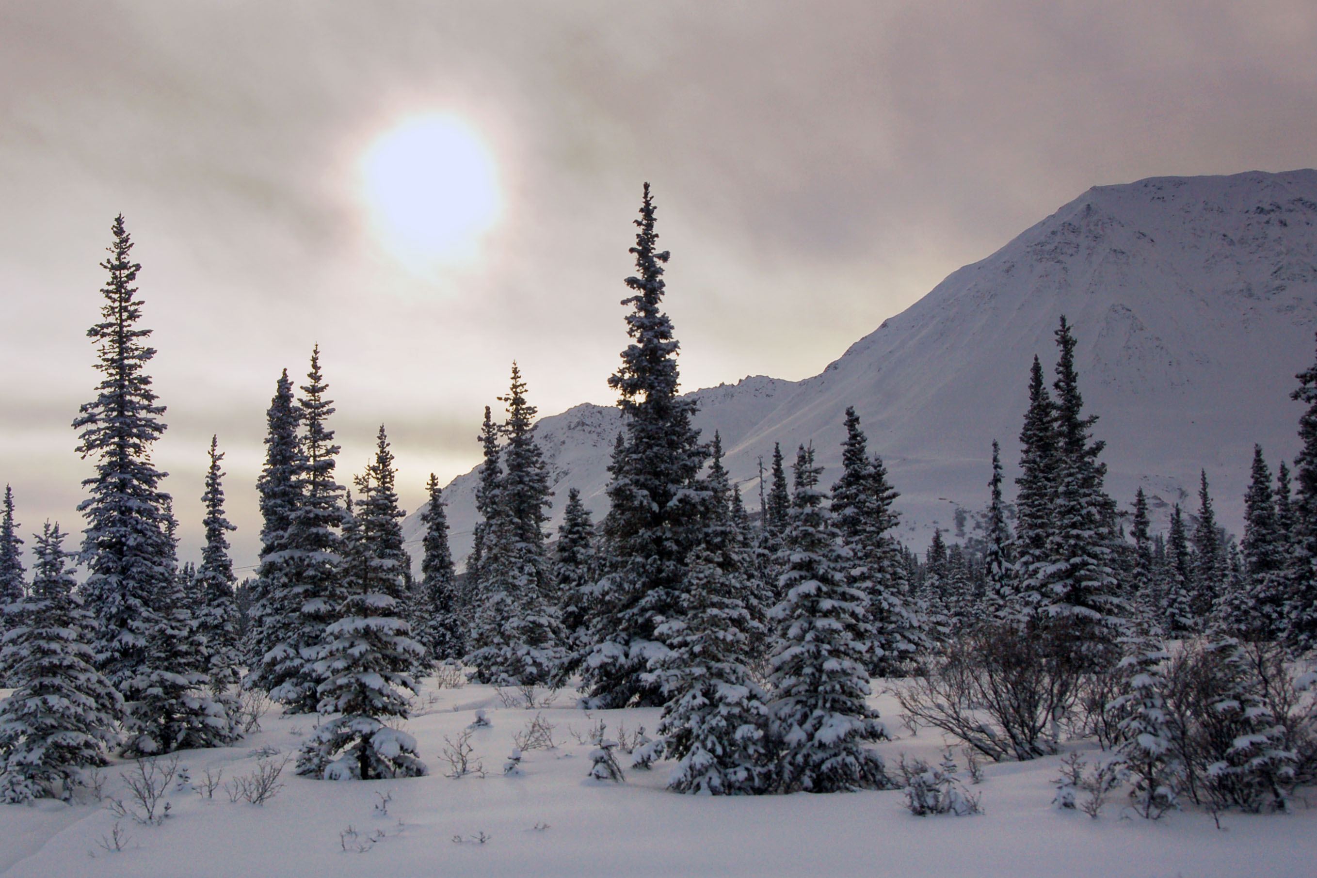
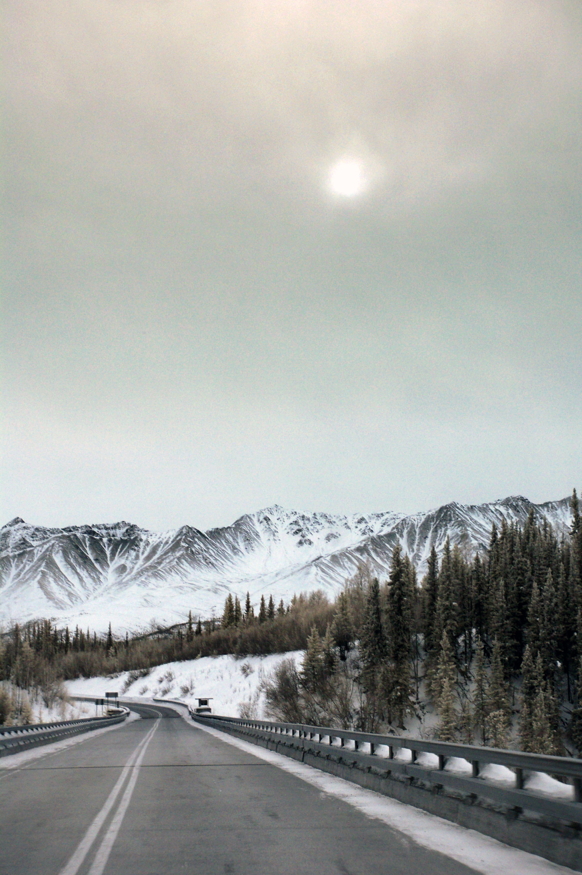
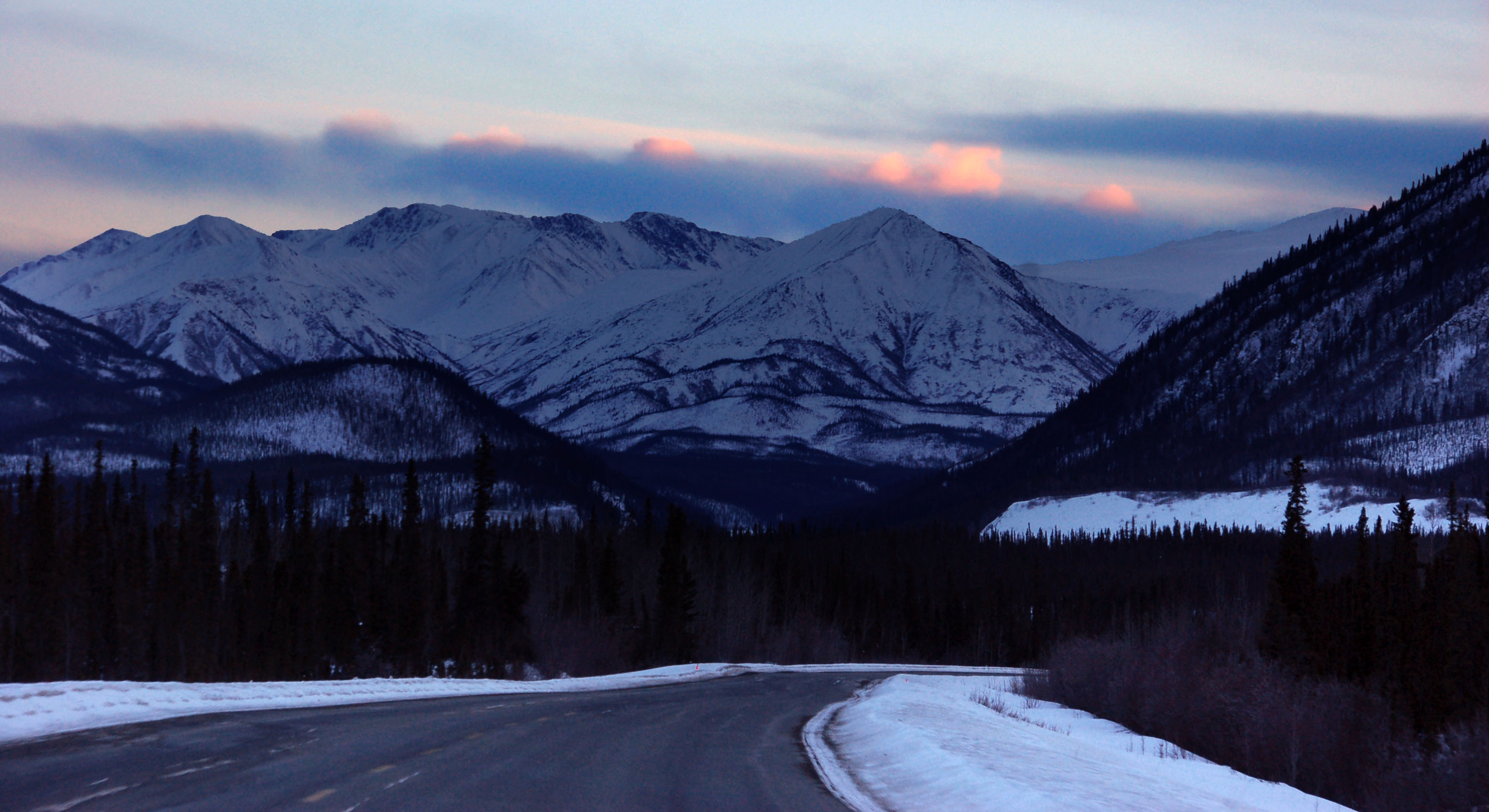
The time I was here in 2007, these mountains were in direct sunset light. I tried to get a photo from the exact same spot, but I just couldn’t remember where it was. Close enough!
Yukon after sunset.
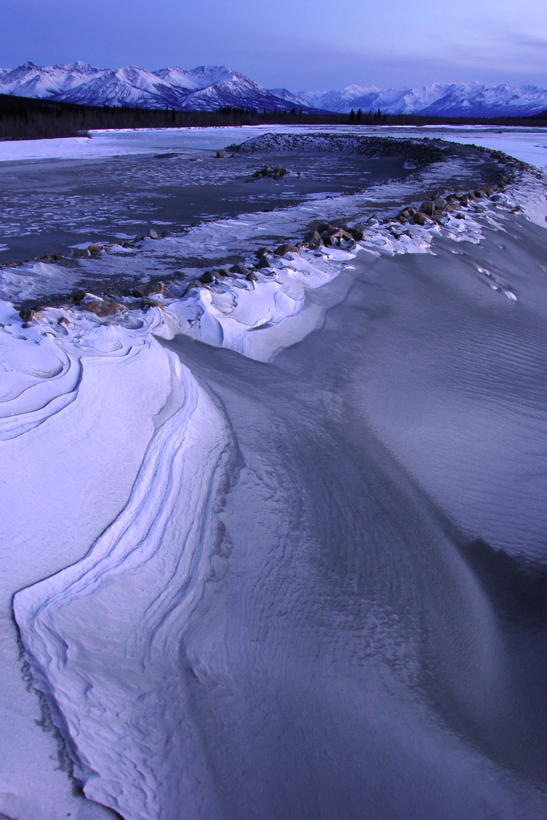
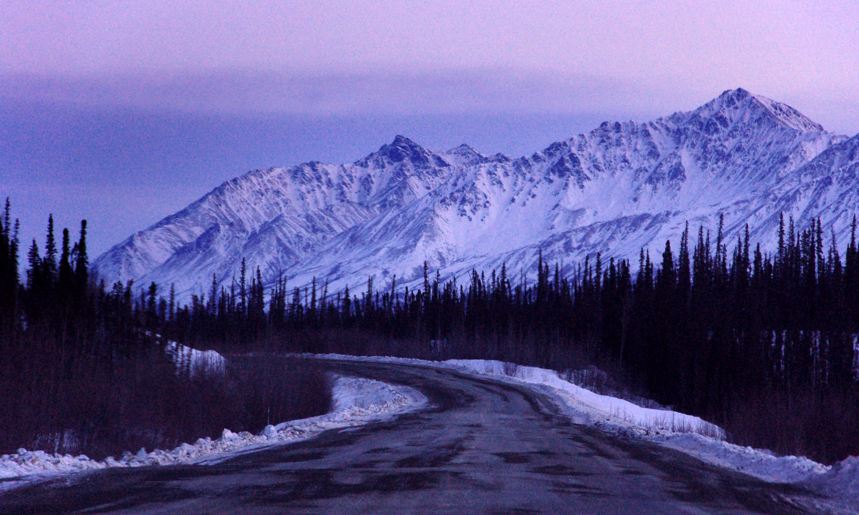
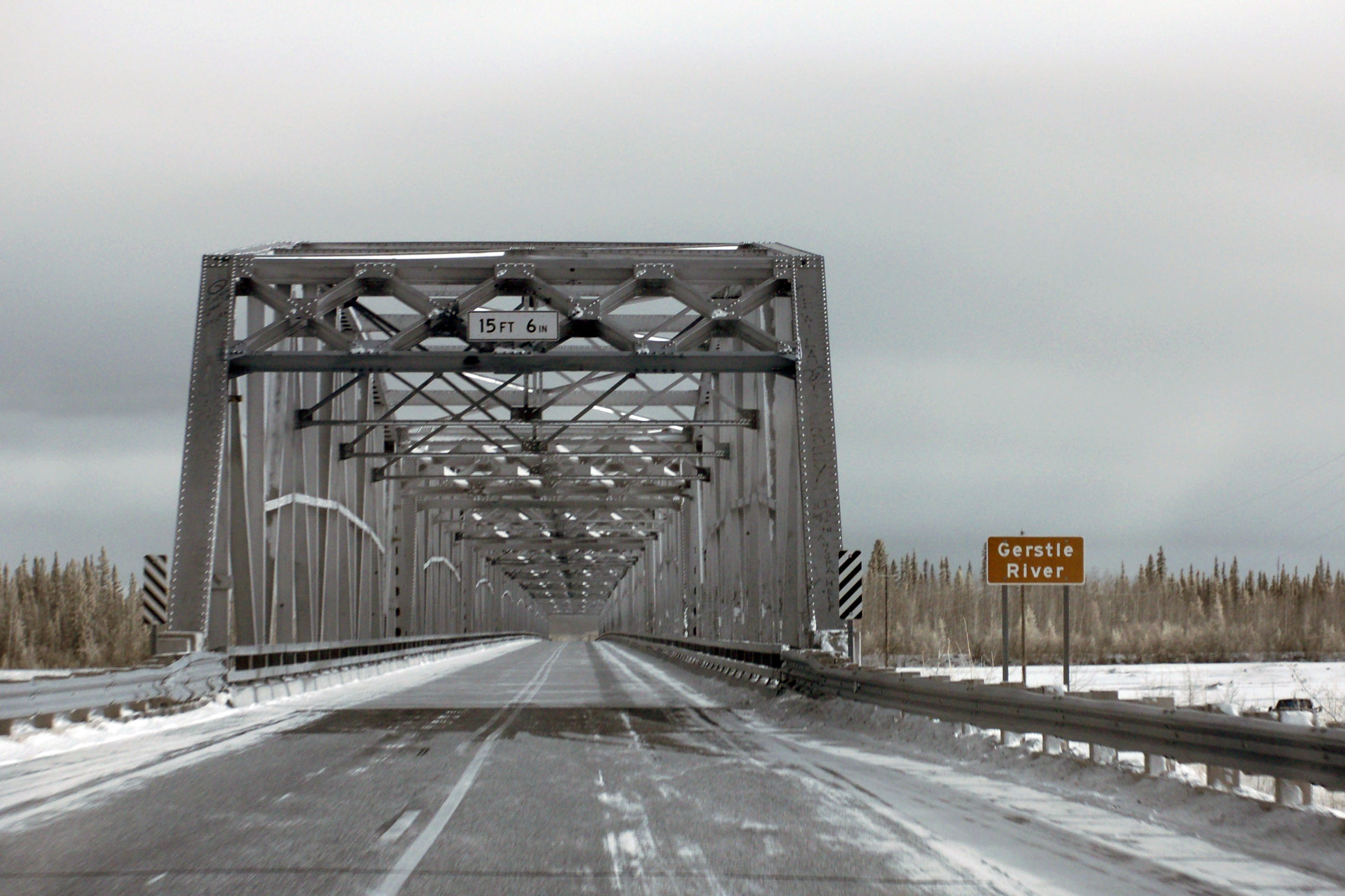
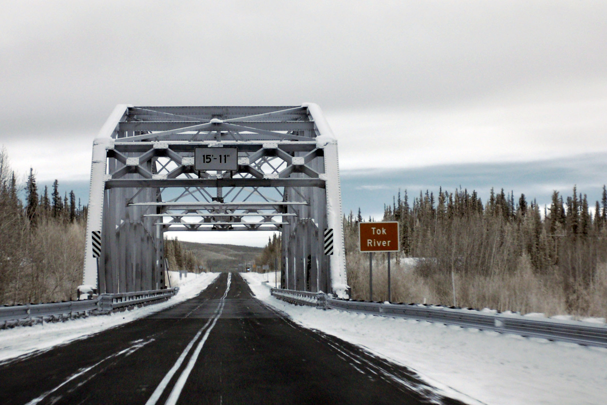
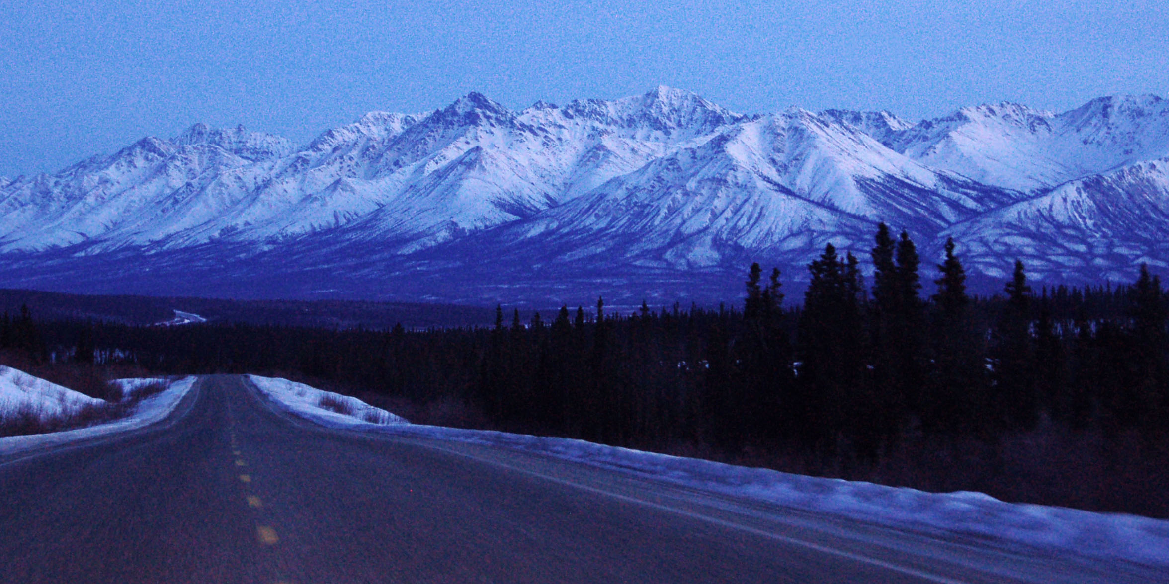
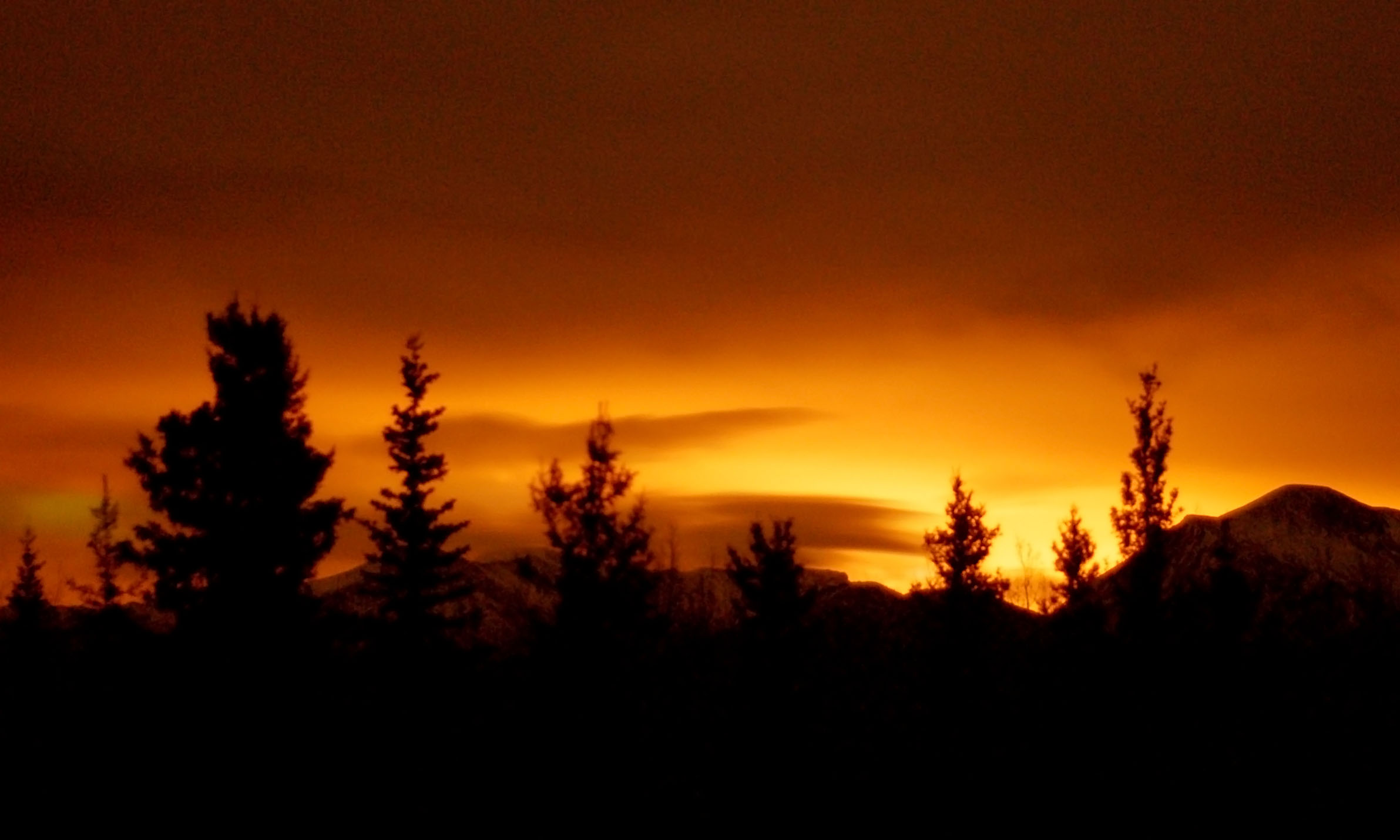
Almost at the end of dusk, we stopped at a bridge over a frozen river.
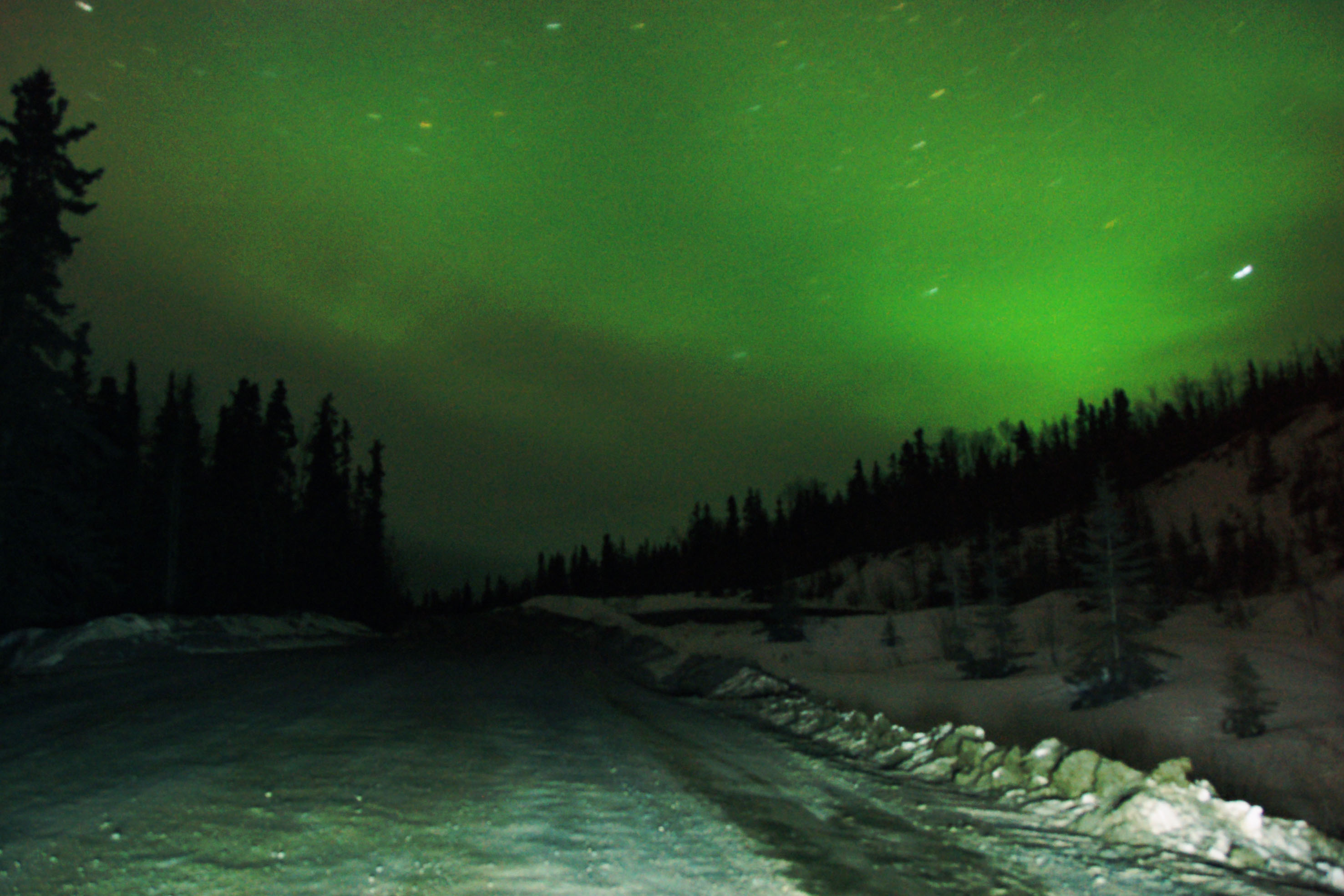
Northern lights! This is about a three-minute exposure, because the lights were quite faint. The road in the foreground is the access road to a garbage dump somewhere to the east of Whitehorse. Note the reflection of the northern lights turning the snow green.
Steadily accumulating miles on the rental car…
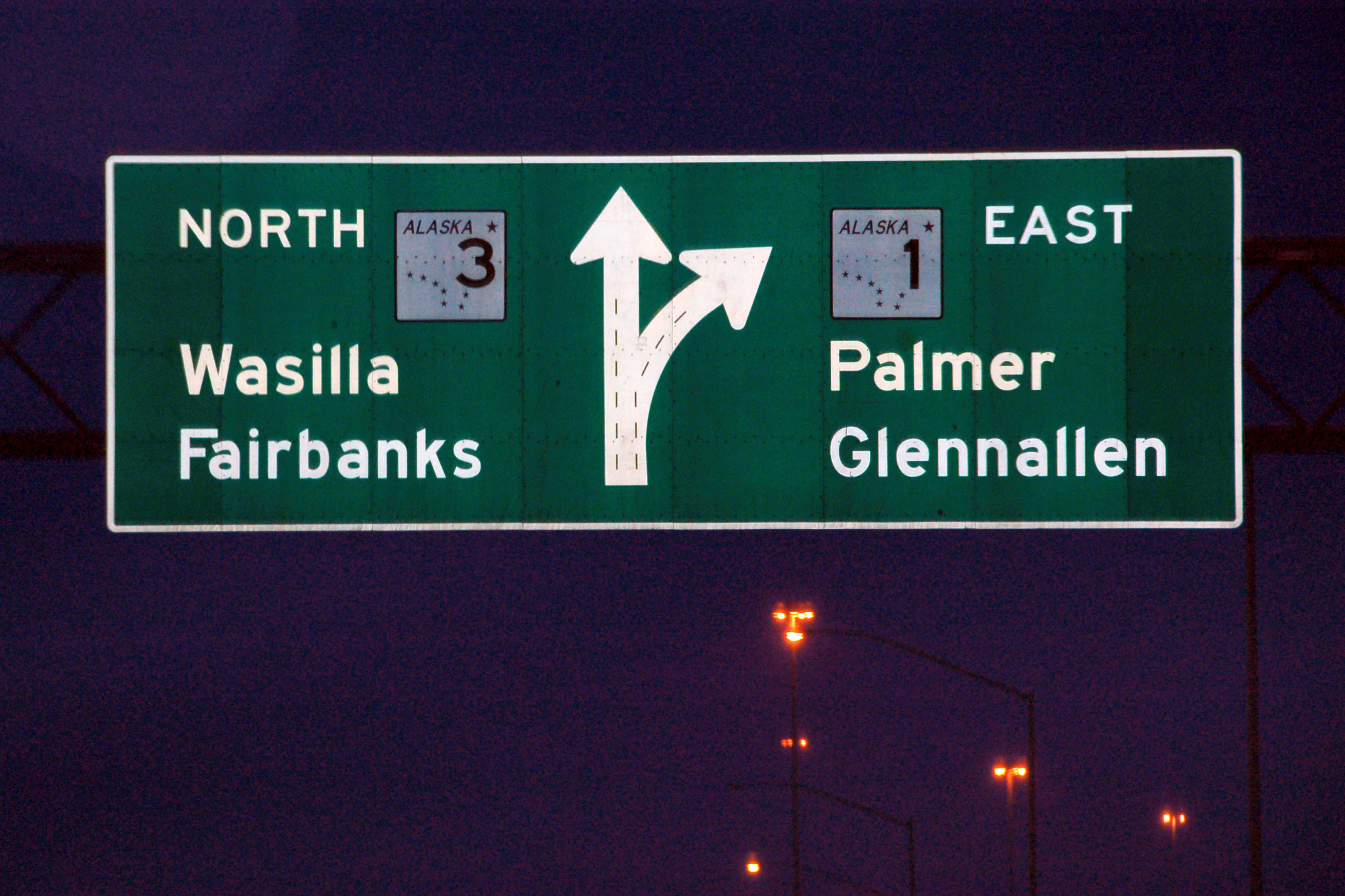
Here’s where we joined highway 3 when we headed into Anchorage – now we leave north on it to head to Fairbanks. Interestingly, there is an “END 1″/”BEGIN 3” shield gantry at this junction. Neither of us got a picture of it, and it is splendidly wrong, as 1 is the signed route that starts way down at Homer, and continues towards Glennallen. Even “begin 3” is potentially incorrect – its mileage starts in downtown Anchorage, but it is unsigned until this 1/3 split.

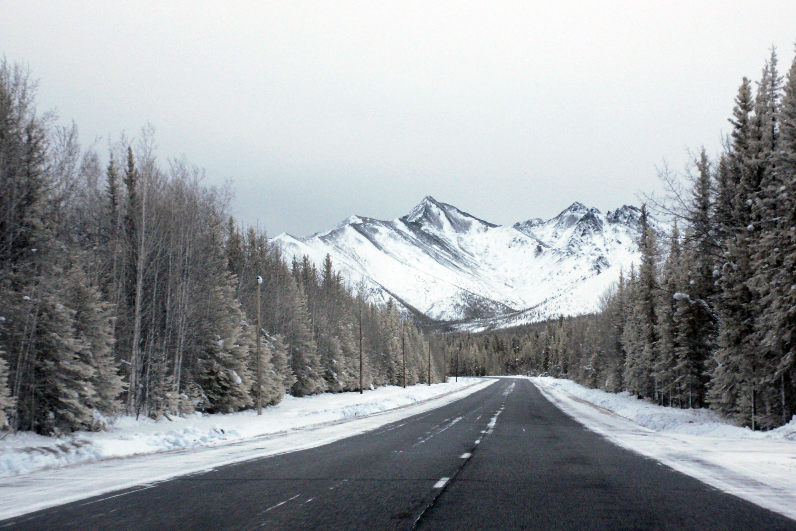
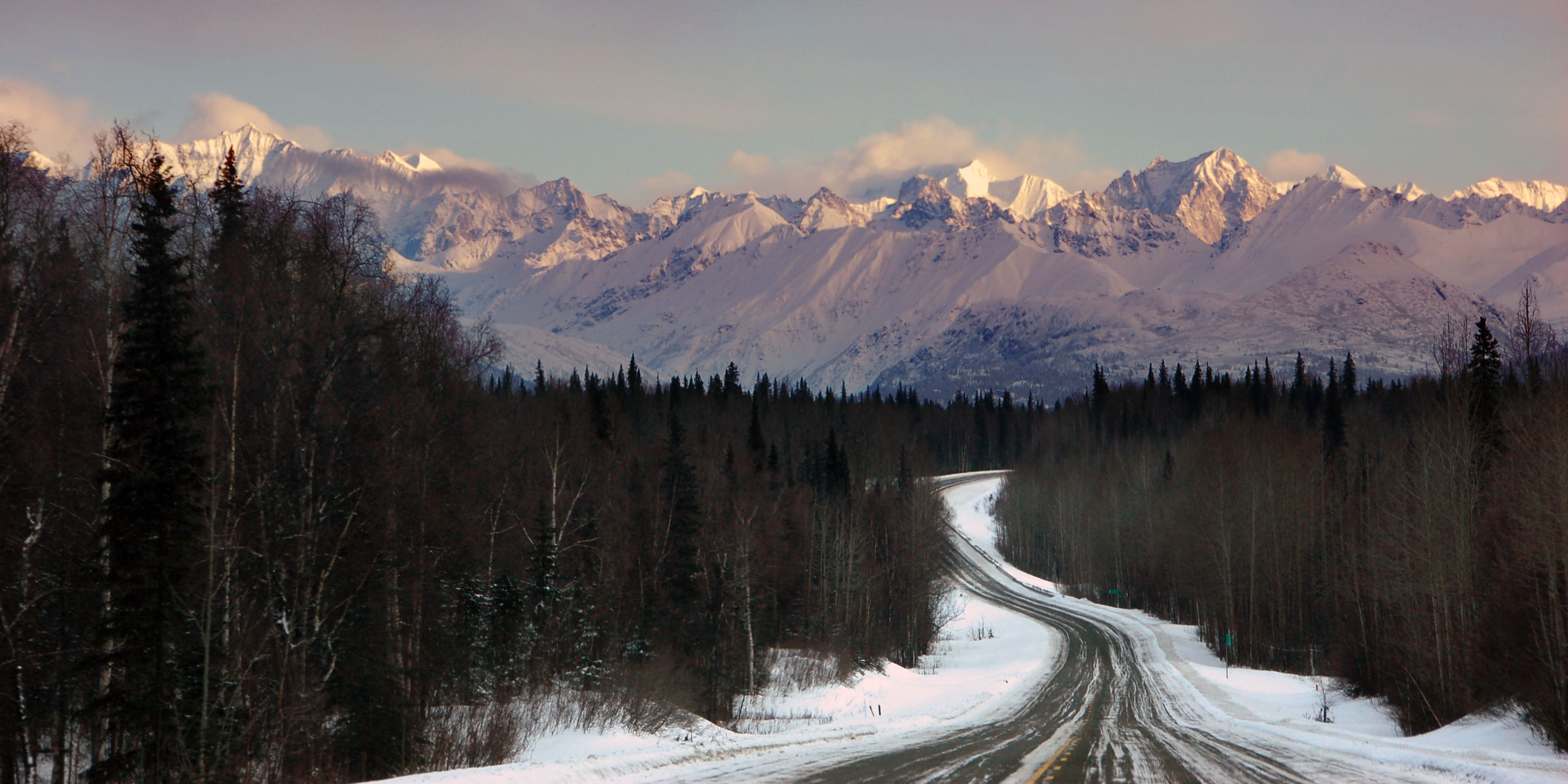
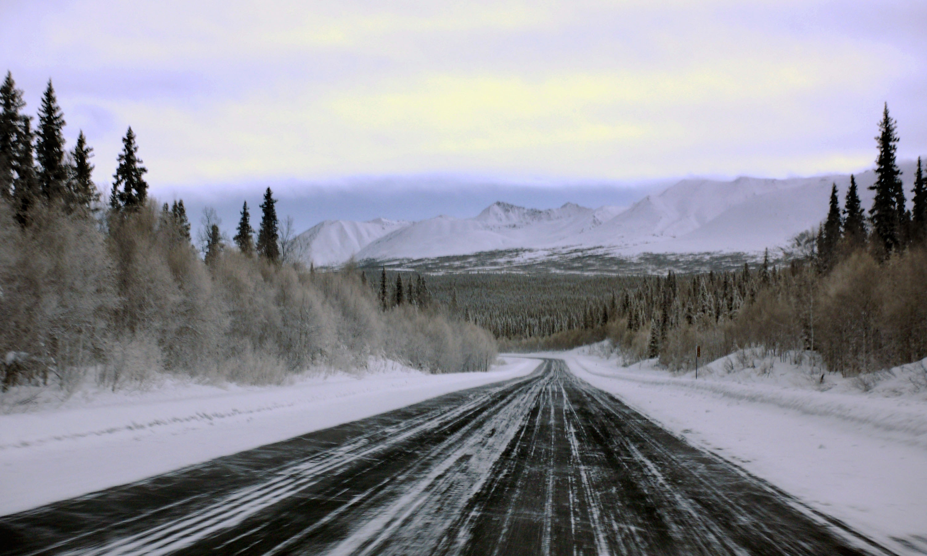
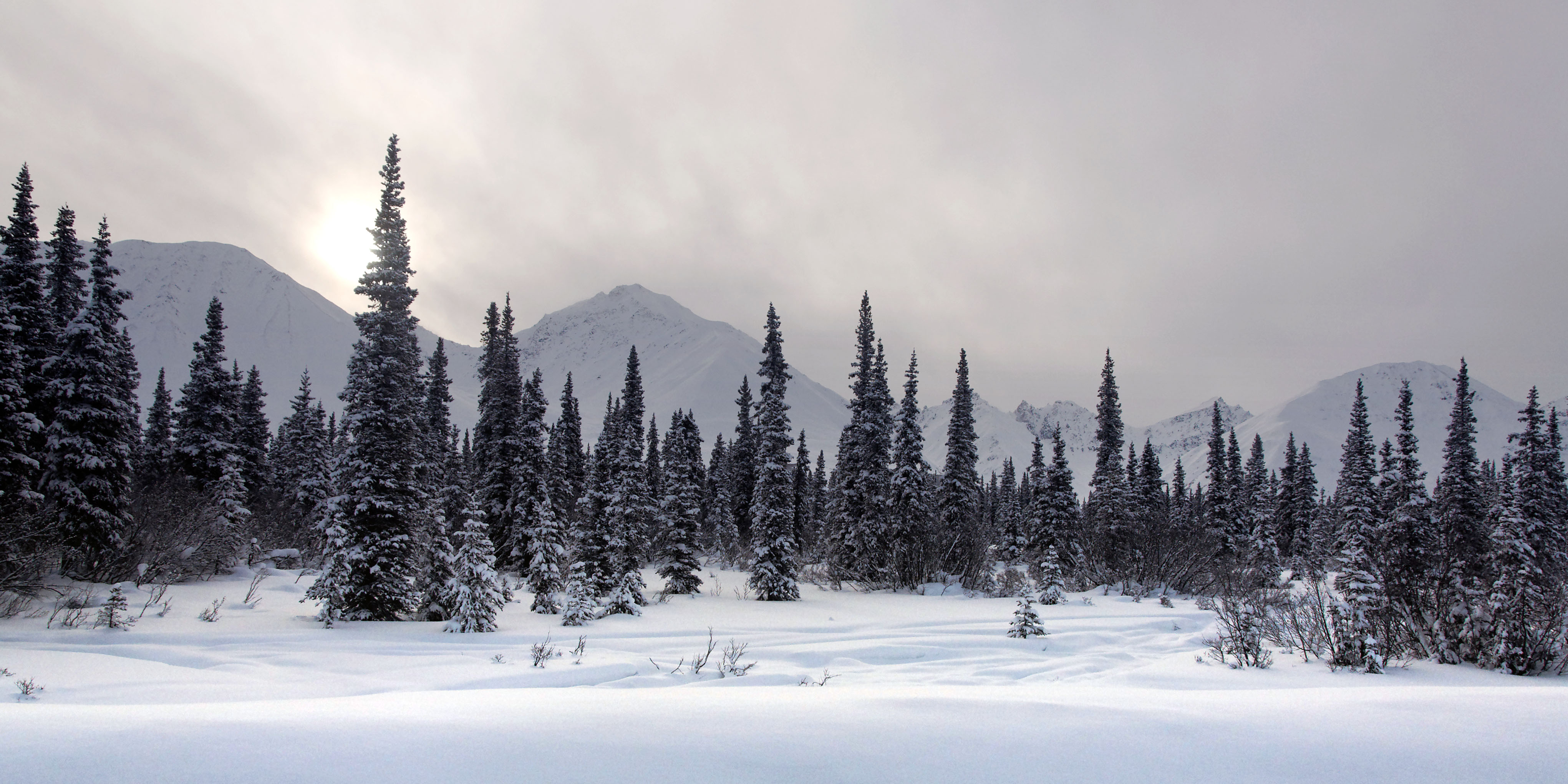
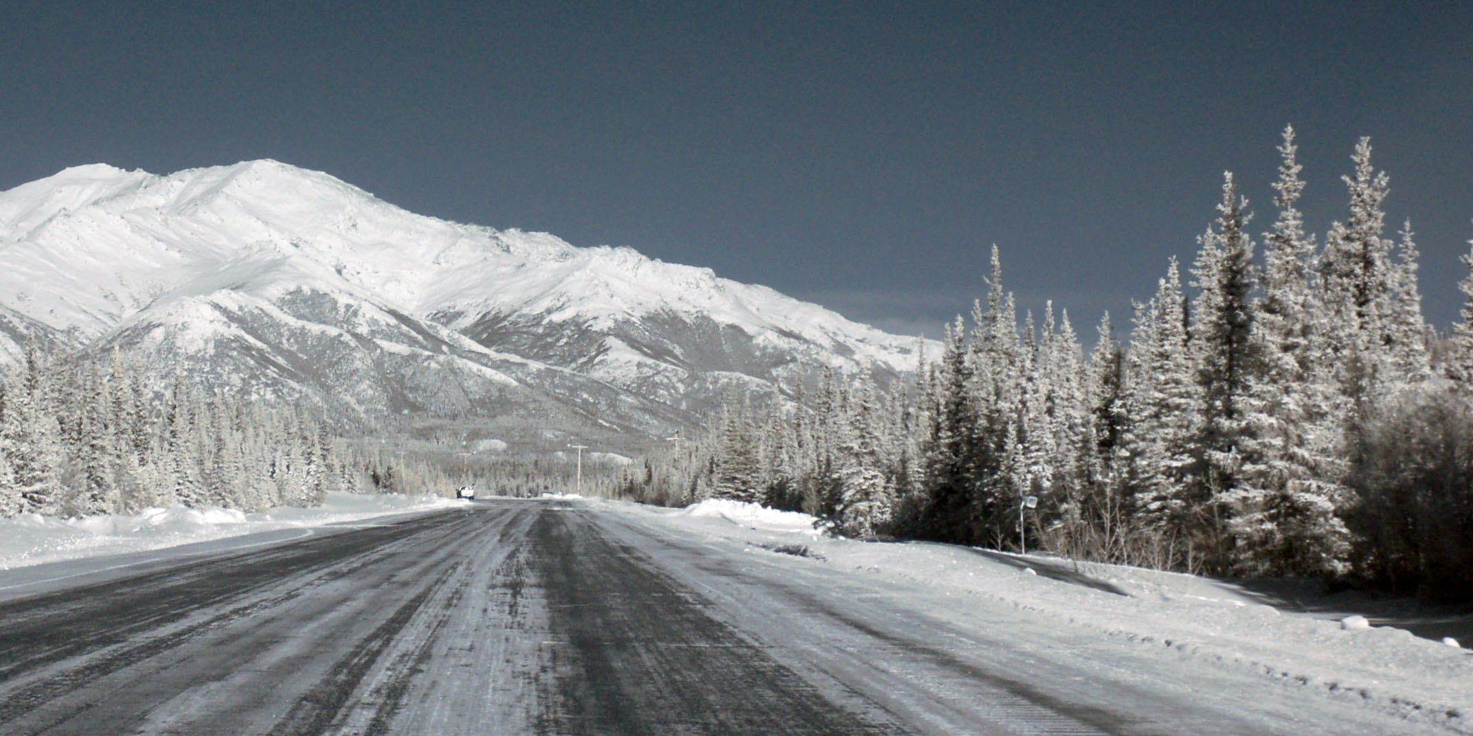
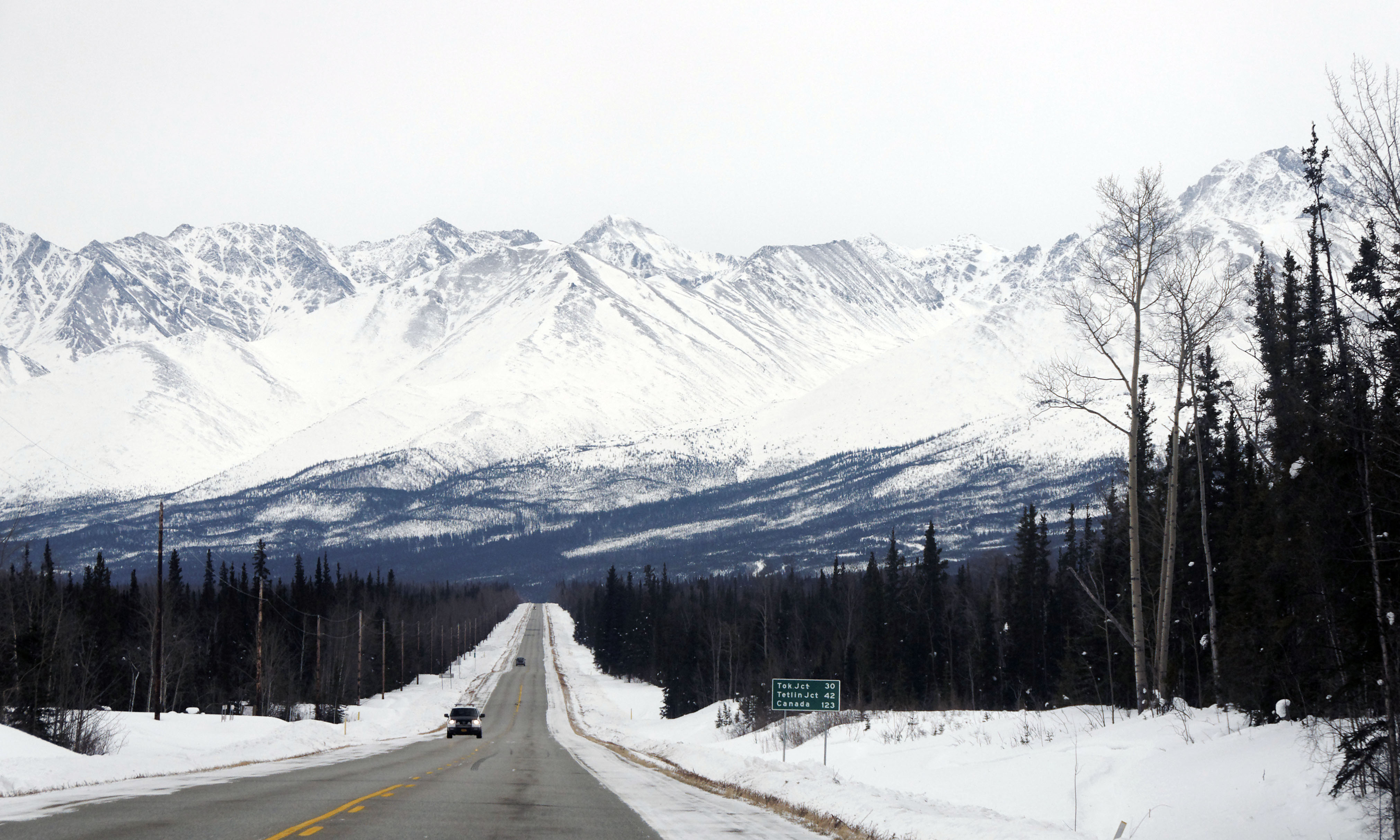
Heading towards Mt. McKinley. Those mountains you see are only about 12000 feet high.
Dan’s Mt. McKinley shot is somewhat more panoramic than mine.
Heading north past McKinley. Actually, it’s almost due west of us here, but cannot be seen because of the clouds.
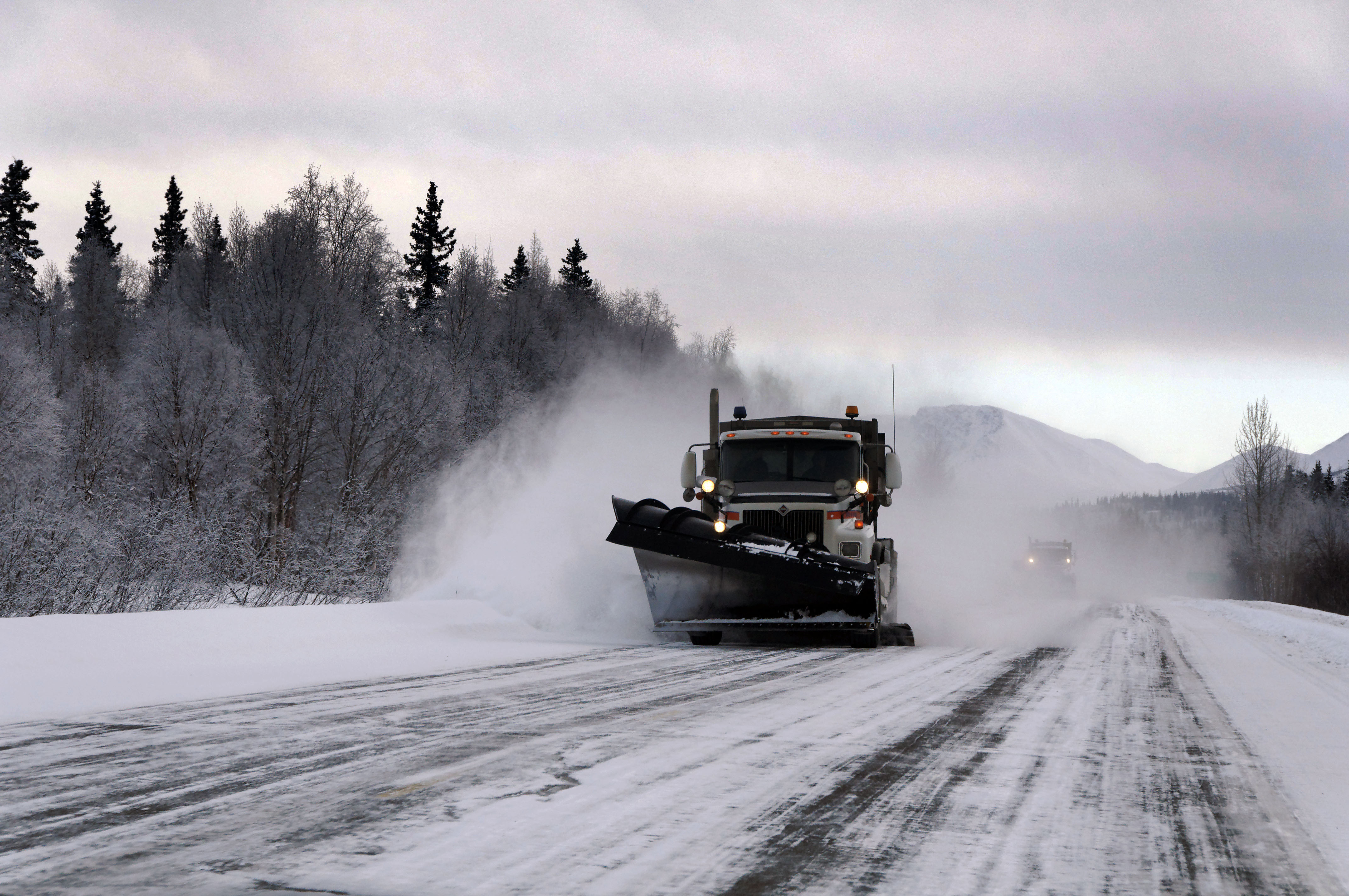
Snowplows rule. [Dan photo.]
An infrared photo – with some blown-out yellow skies.
This isn’t an infrared photo – it’s just overcast and snowy.
This one is infrared – we just happen to be breaking through the clouds.
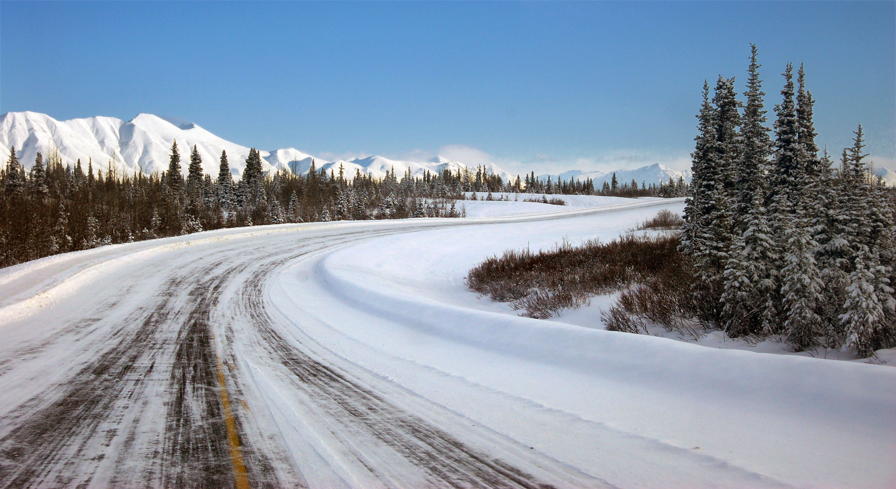
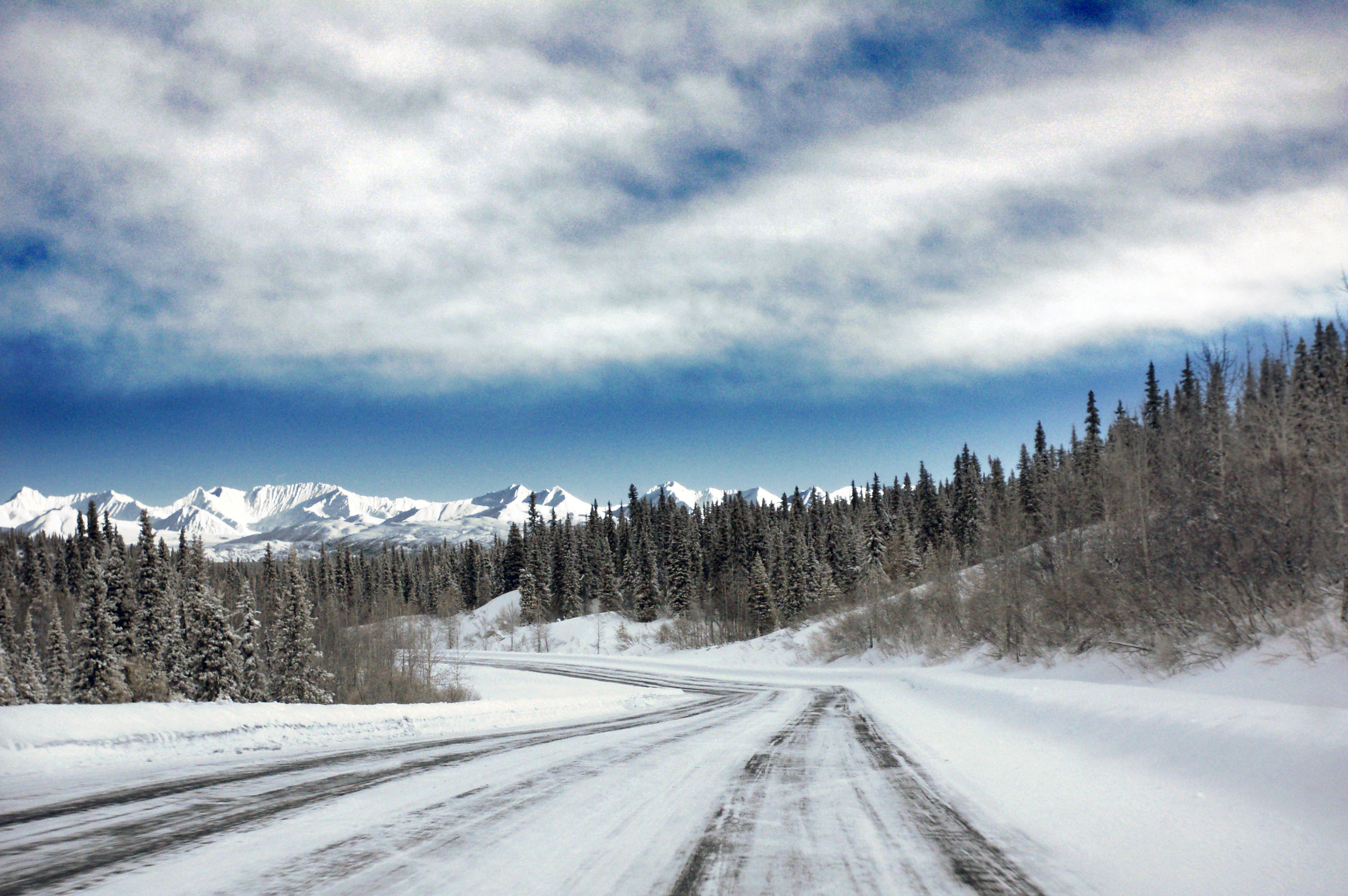
Blue skies and plowed roads. Excellent.
Uh oh, more clouds. Dan took this one out the side window while I was doing about 85.
This is what happens when I try the same thing. Also, I inadvertently punch Dan in the face, sticking the camera that way while attempting to keep us on the road.
The rivers run with … what now? [Dan photo.]
The road to the mountain – and also to the Richardson Highway in the other direction. [Dan photo.]
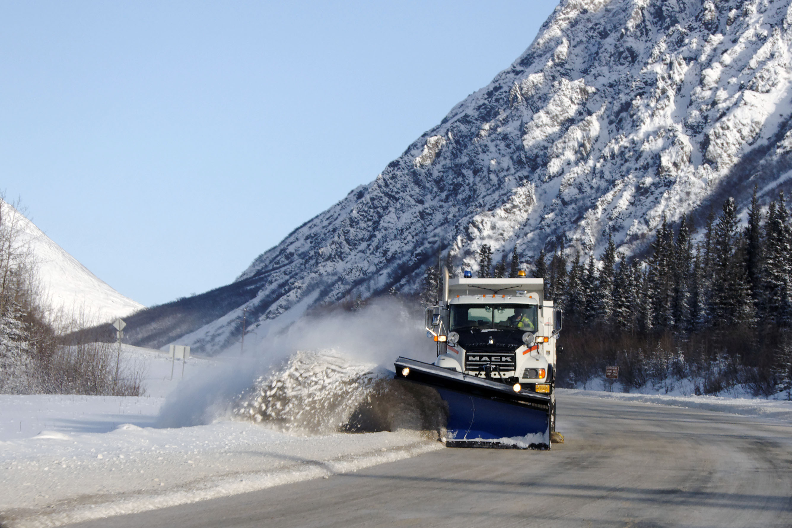
Dan continues his thorough documentation of snowplows, and other snowplow-like creatures, of the great frozen north.
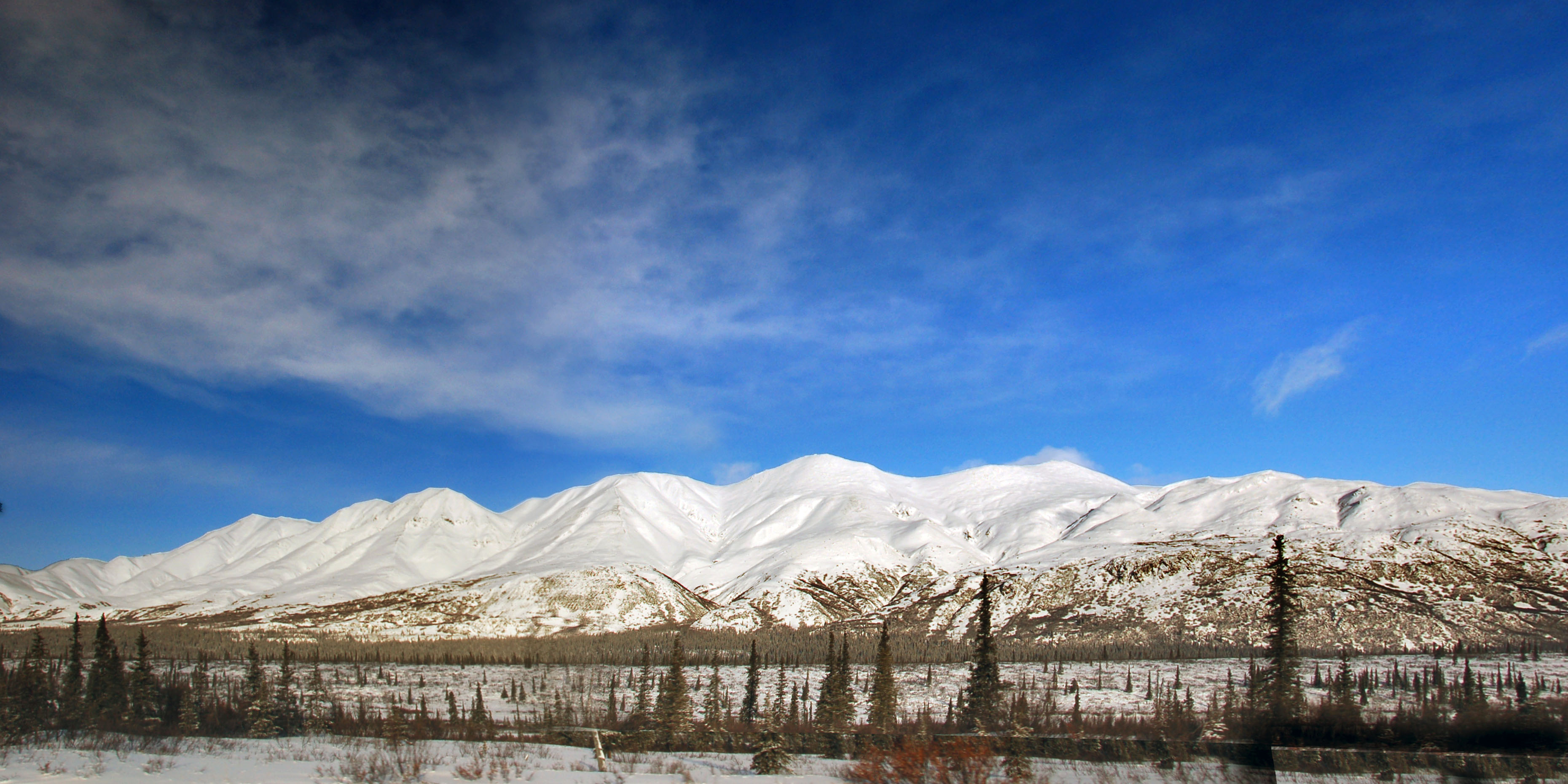
Blue skies, and converging trees.

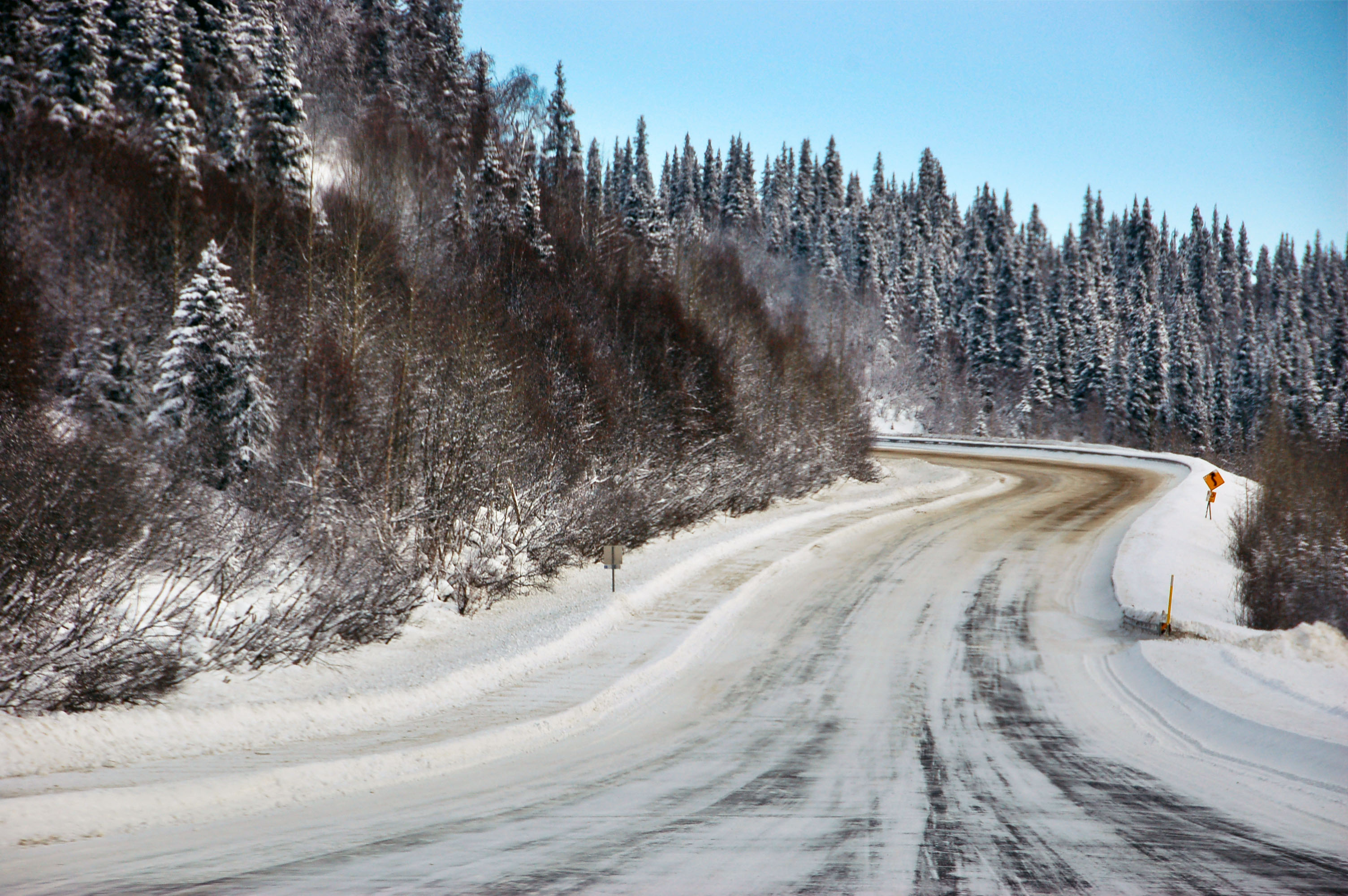
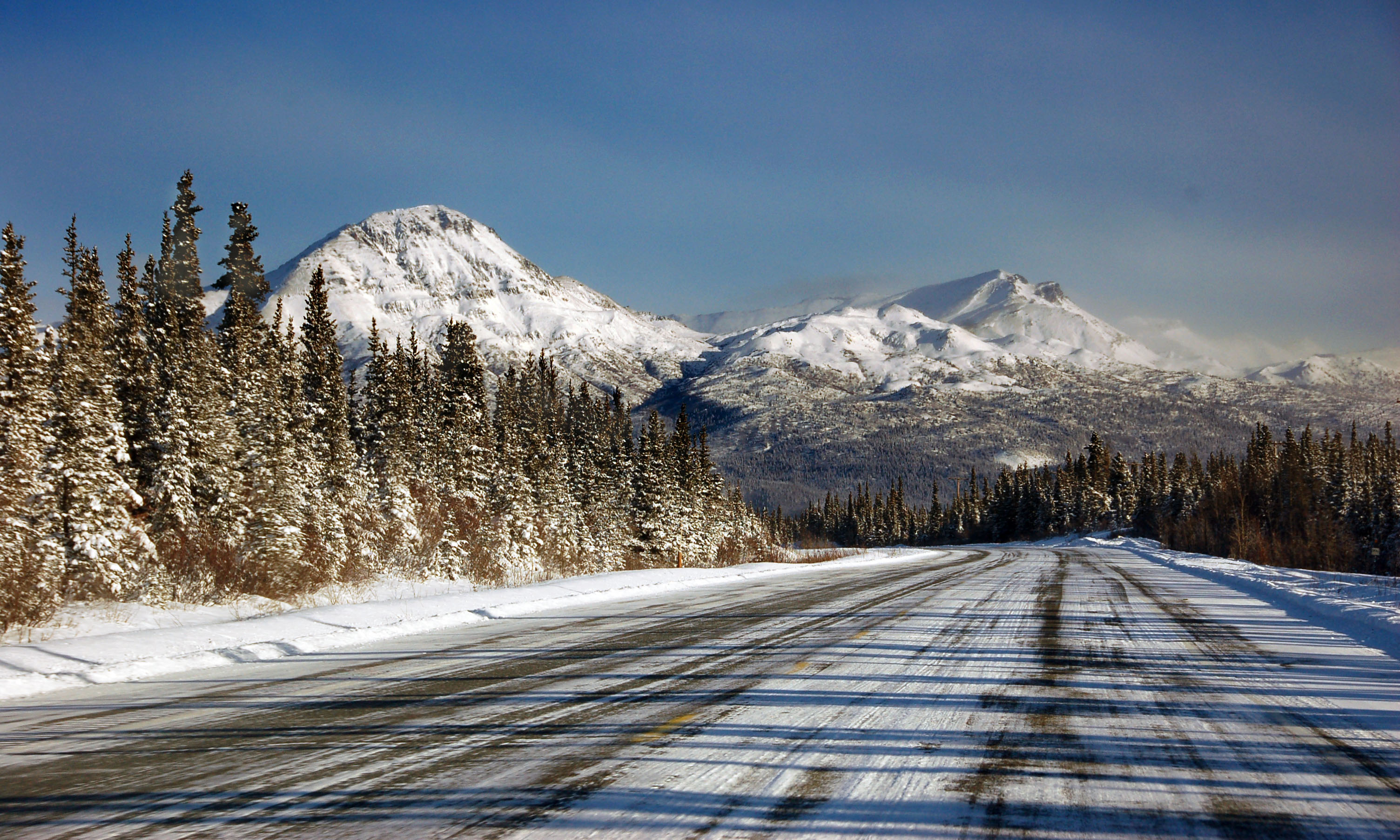
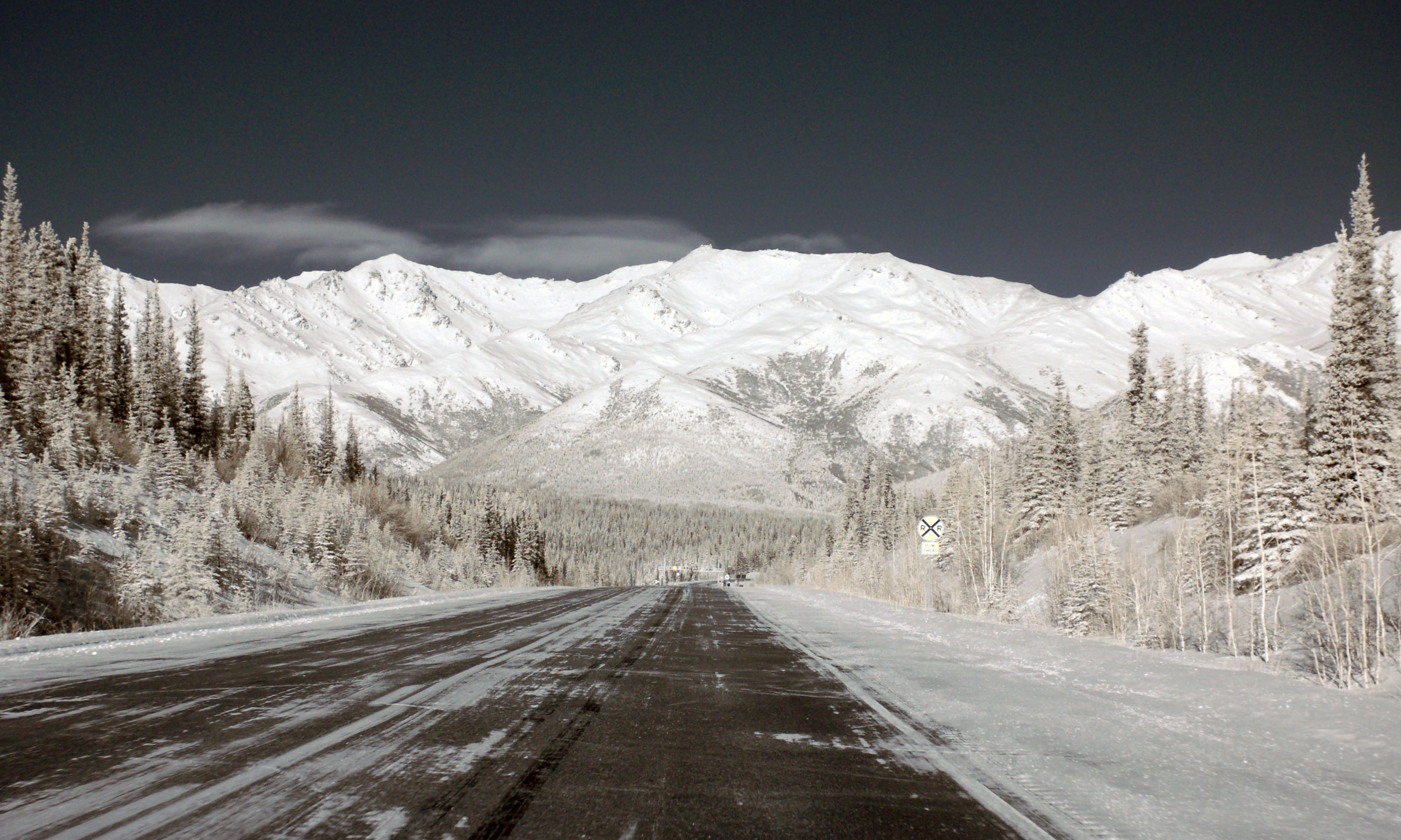
Steady progress towards Fairbanks.
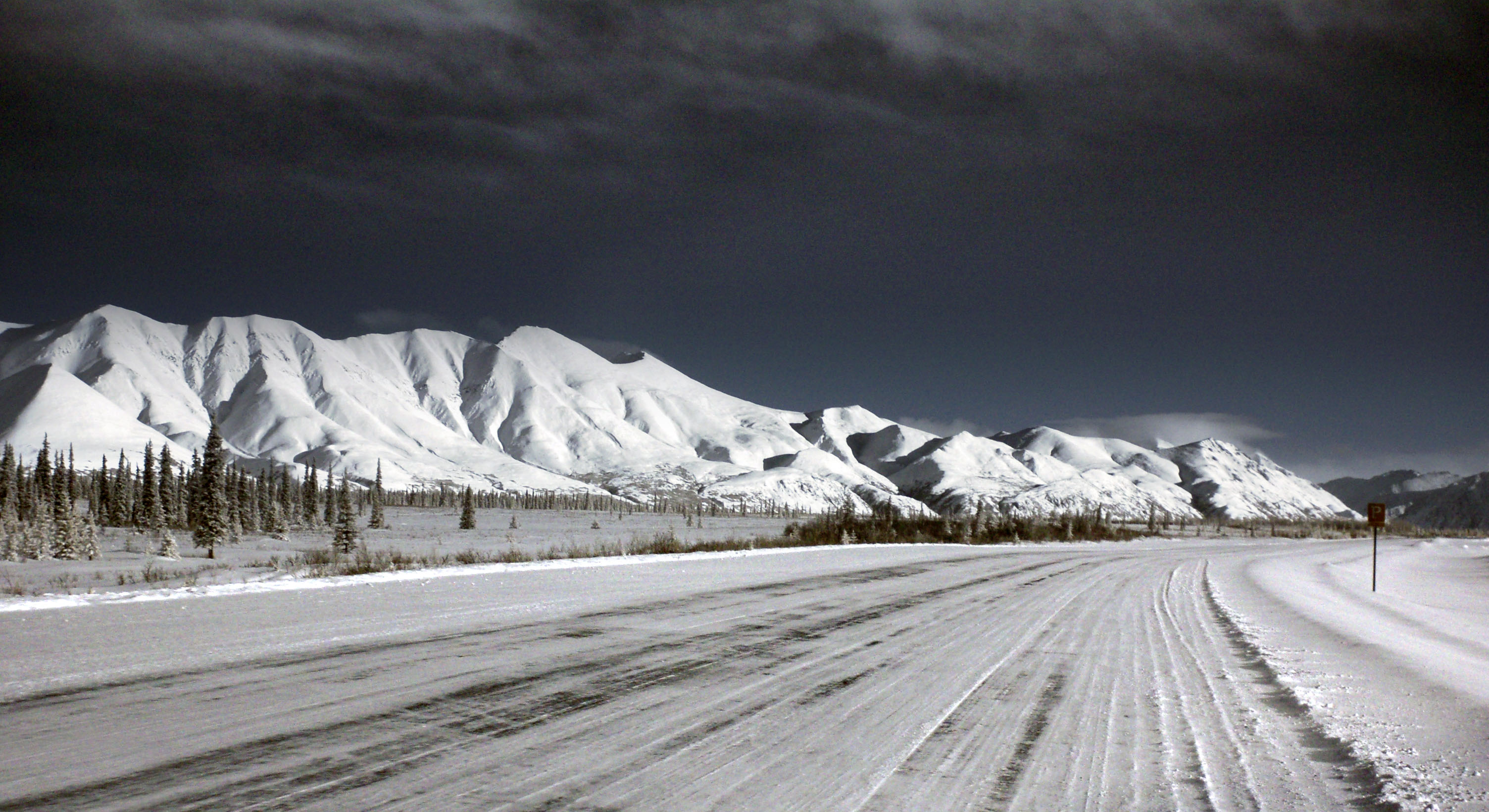
About 100 miles to go.
Dan tries his hand at infrared, to excellent results.
More infrared from Dan.
Gotta love how the railroad sign came out almost correctly yellow.
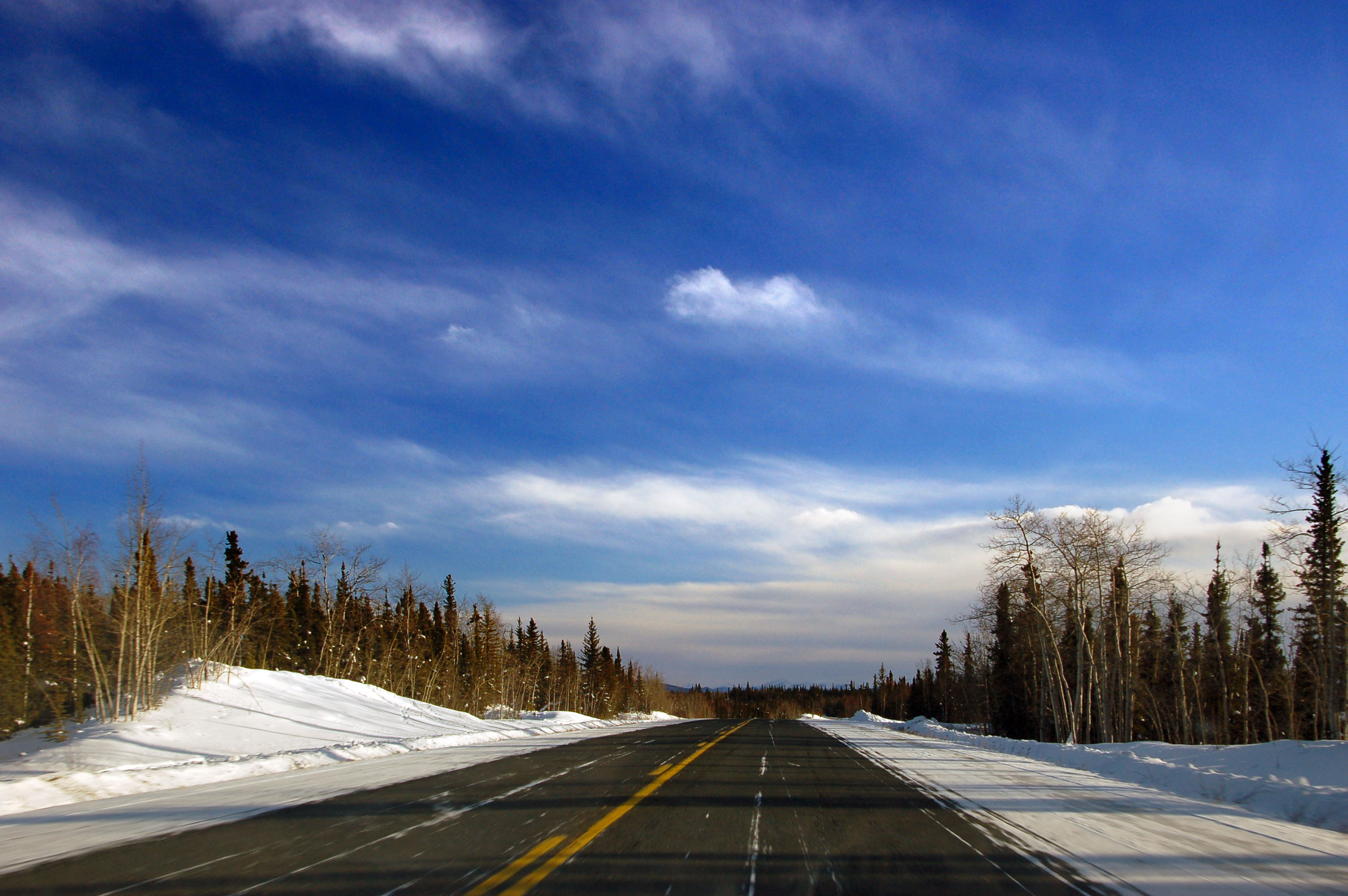
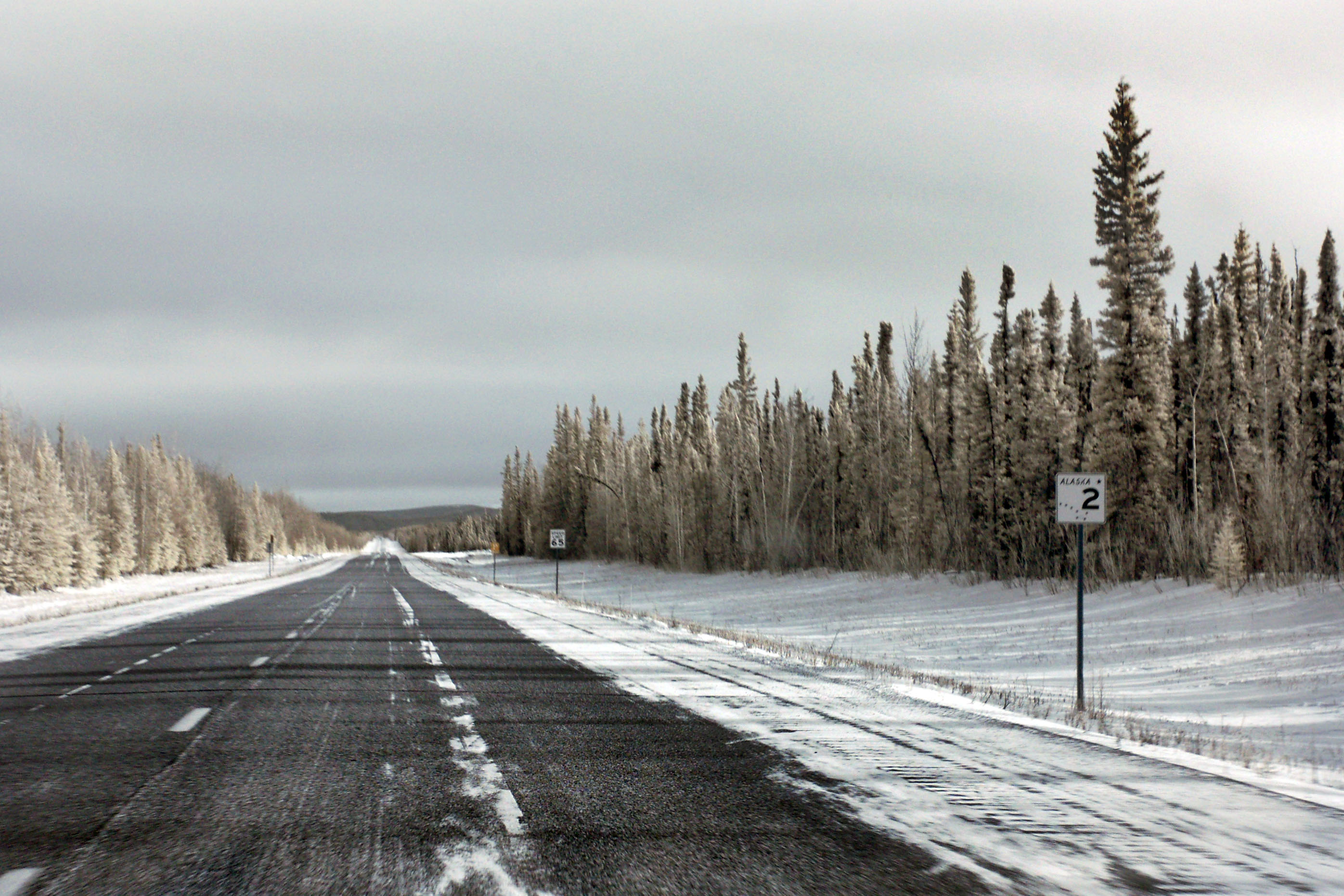
Blue skies and high clouds here – but Fairbanks is going to be overcast.
Shiny bridge is shiny.
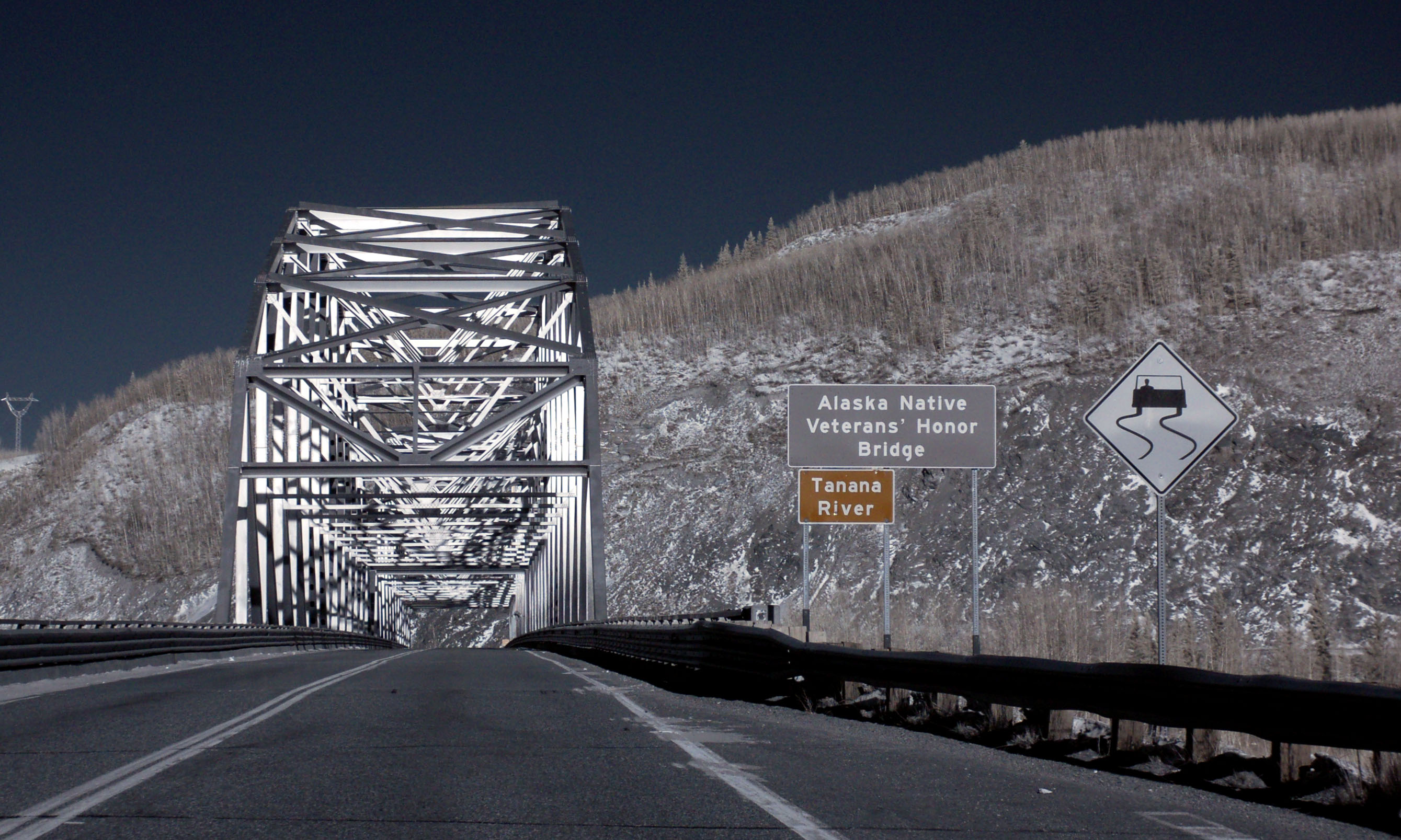
Next shiny bridge is … even shinier.
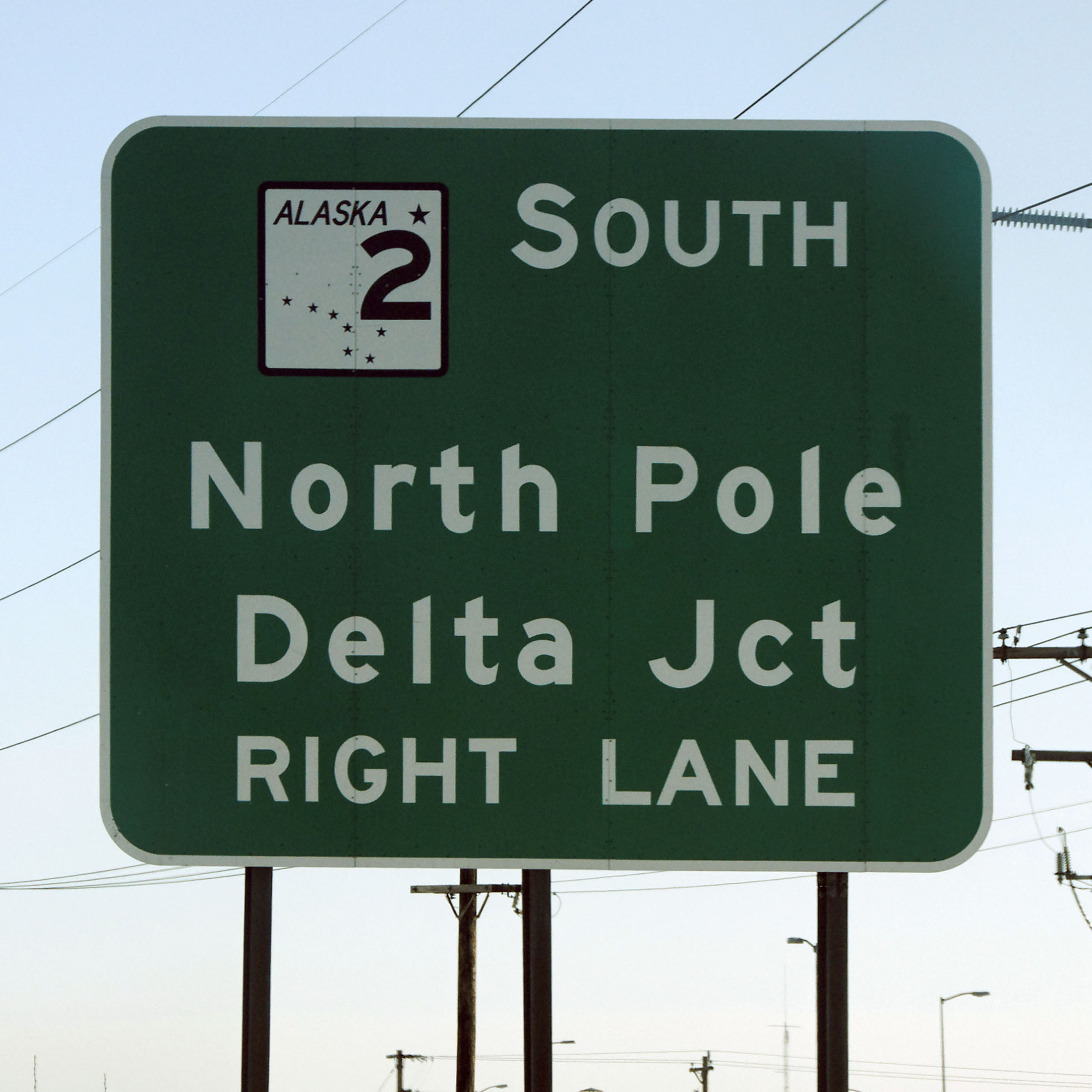
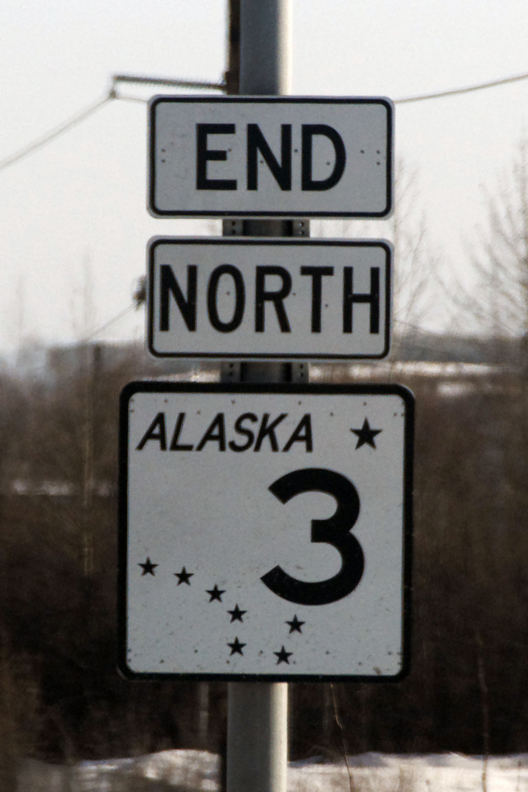
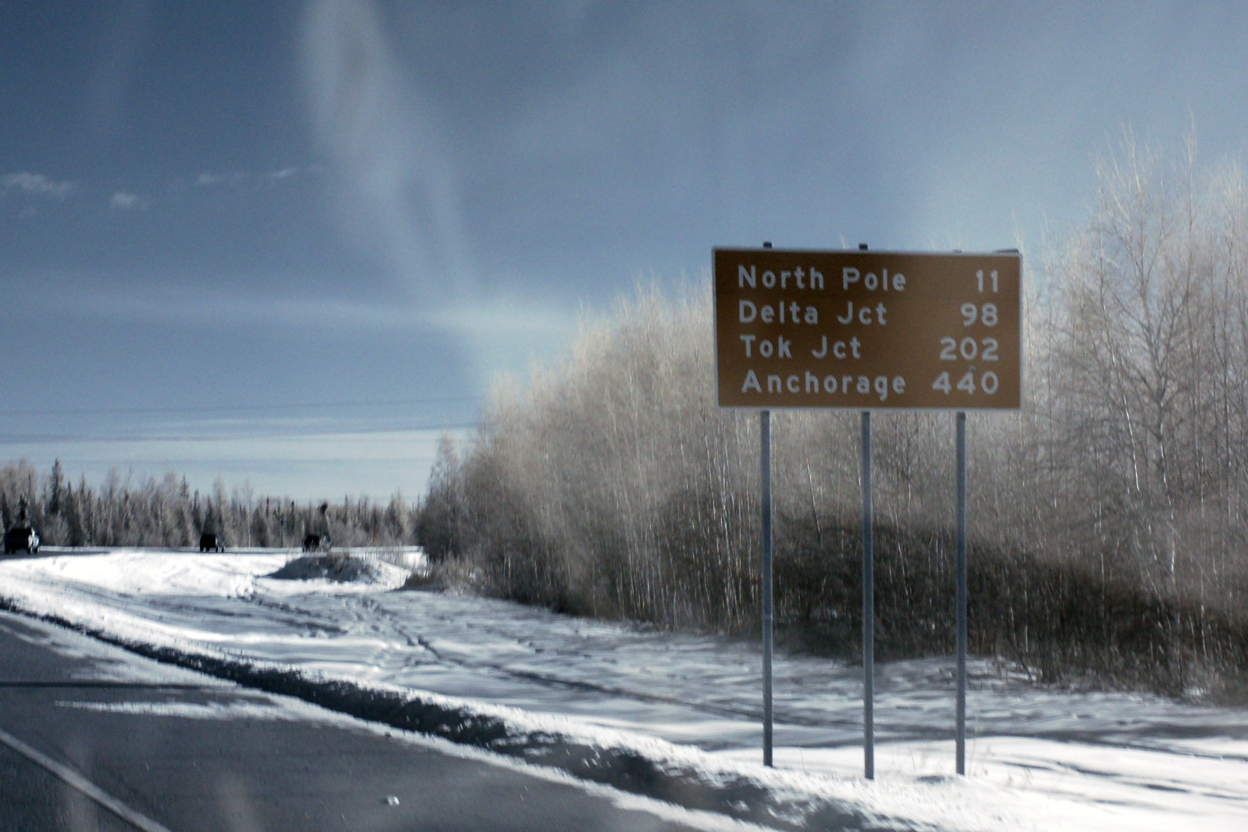
And we’ve reached Fairbanks, where highway 3 ends at highway 2. We turn east (south, as the case may be) on 2 to get to Delta Junction, and restart the Alaska Highway there. [Dan photo.]
End of the line. [Dan photo.]
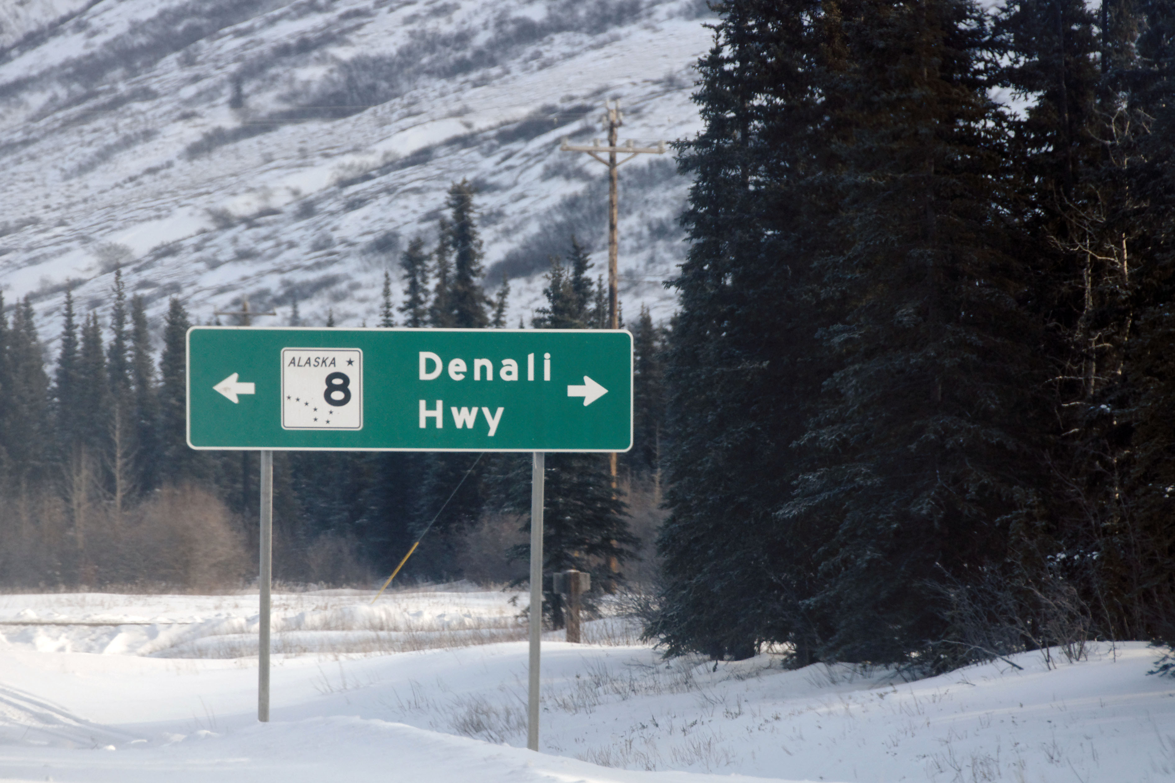
Down the Richardson Highway to … Anchorage? Indeed, before highway 3 was built as a straight shot between Anchorage and Fairbanks, the way to go was out to Glennallen on highway 1, north to Delta Junction on highway 4, and then northwest on highway 2. It’s about 100 miles longer. Always good to have a set of alternates, in case one is closed for a snow event.
Overcast all the way as we head out of Fairbanks.
Shiny bridge is less shiny in the absence of direct rays.
This is what things look like in visible light. [Dan photo.]
This shield isn’t quite as old as its northbound counterpart.
Somewhere fairly close to mile number 1337.
Yep, it’s possible to shoot directly into the sun under these conditions.
Past Tok now, and it is clearing up in the distance.
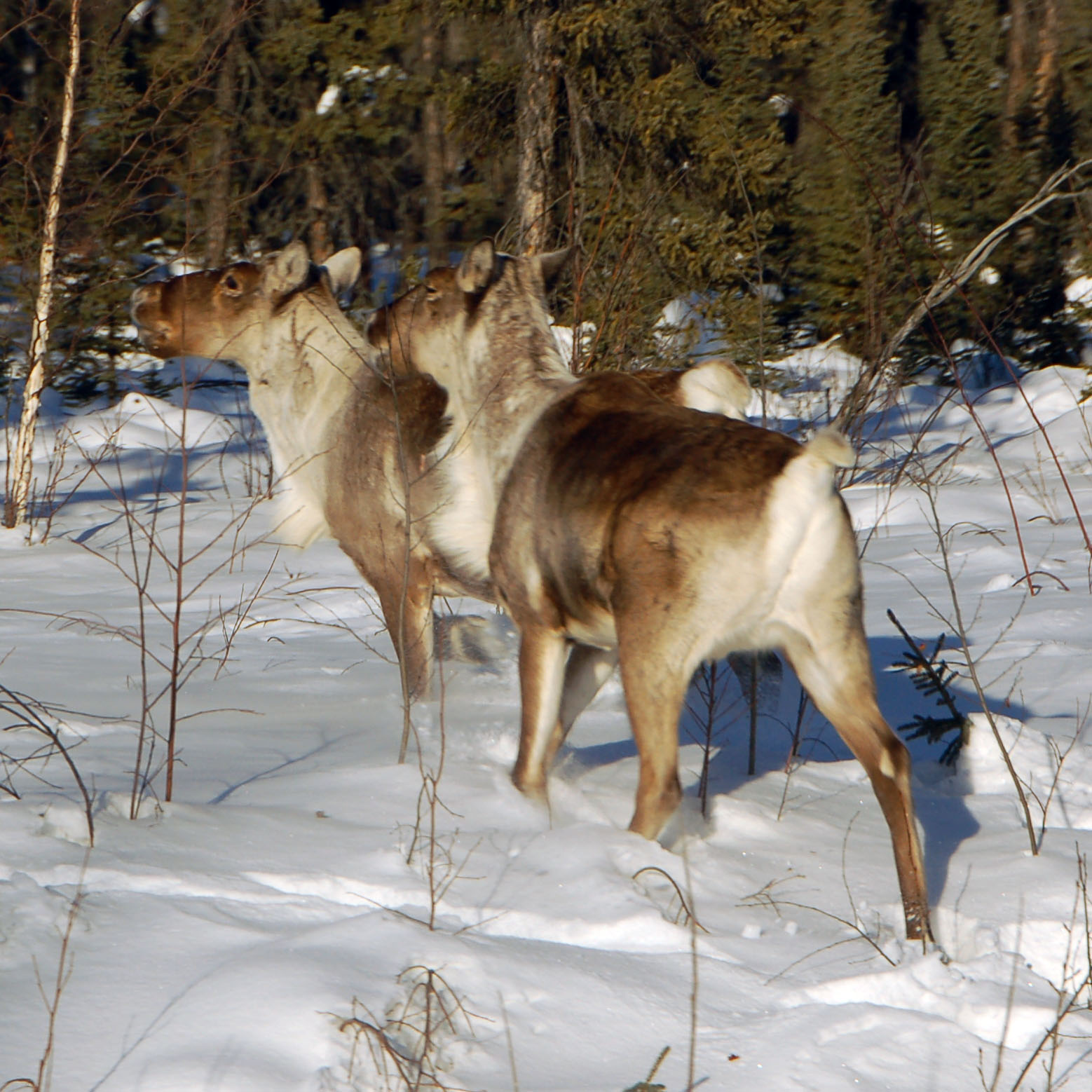
Are caribou transparent in infrared? The world will never know.
And we’re back in Canada. The US customs house to the west is immediately at the boundary, but the Canadian one is 20 miles inland. They gave us an average level of hassle, wondering why anyone would want to come out here “in the middle of winter”. We’re not the sharpest bulbs in the galaxy, all right? And besides, it’s early spring.
I think one of their questions was “given that you have told me that you have no contraband, if I were to search your car, would I find any surprises?” “Why no, ma’am, of course not.”
She searched the car anyway. Probably for the best, since Dan had about $500 in a small envelope that was attempting to hide itself under a car seat in a place that only the border patrol would look.
No drugs. Such a shame.
A splash of red, well after the mountains are all dark.
Pink skies, even further past the border.
The last of sunset.
Getting honestly dark now – somehow, still able to make sharp exposures. Gotta love having a VR lens!
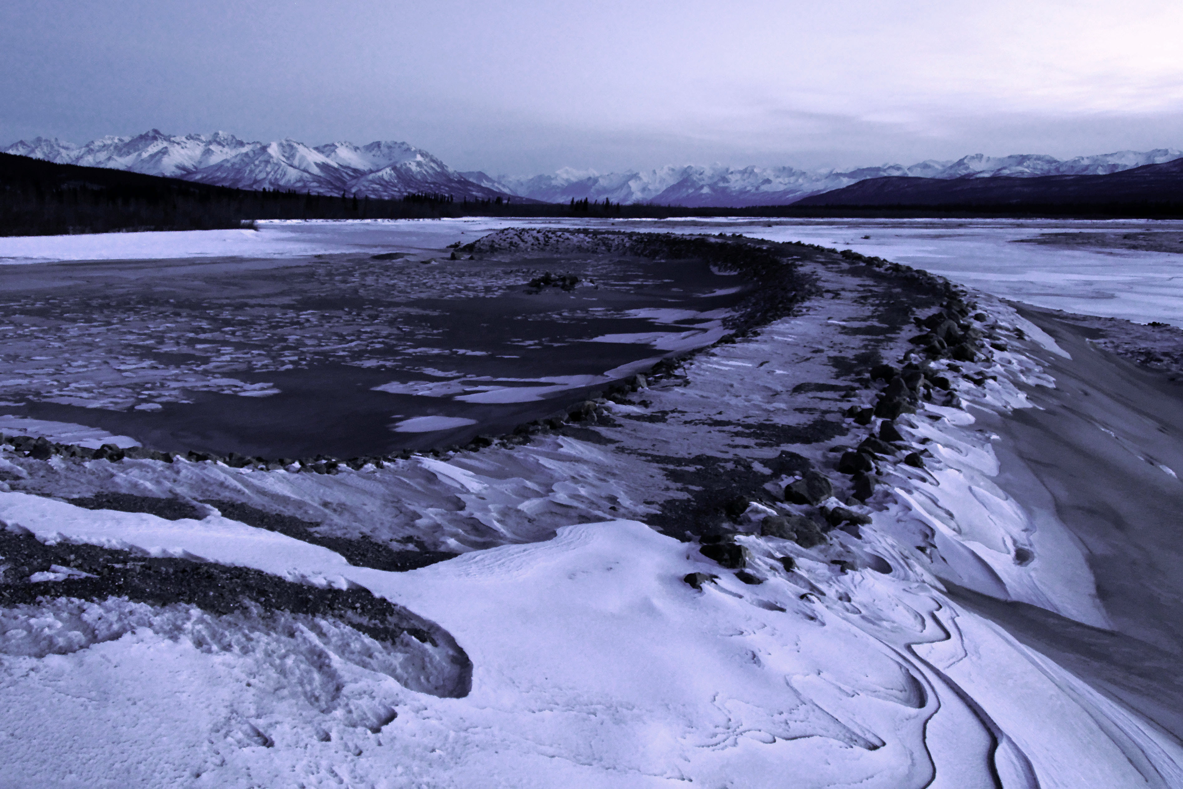
Dan takes one from the bridge as well.
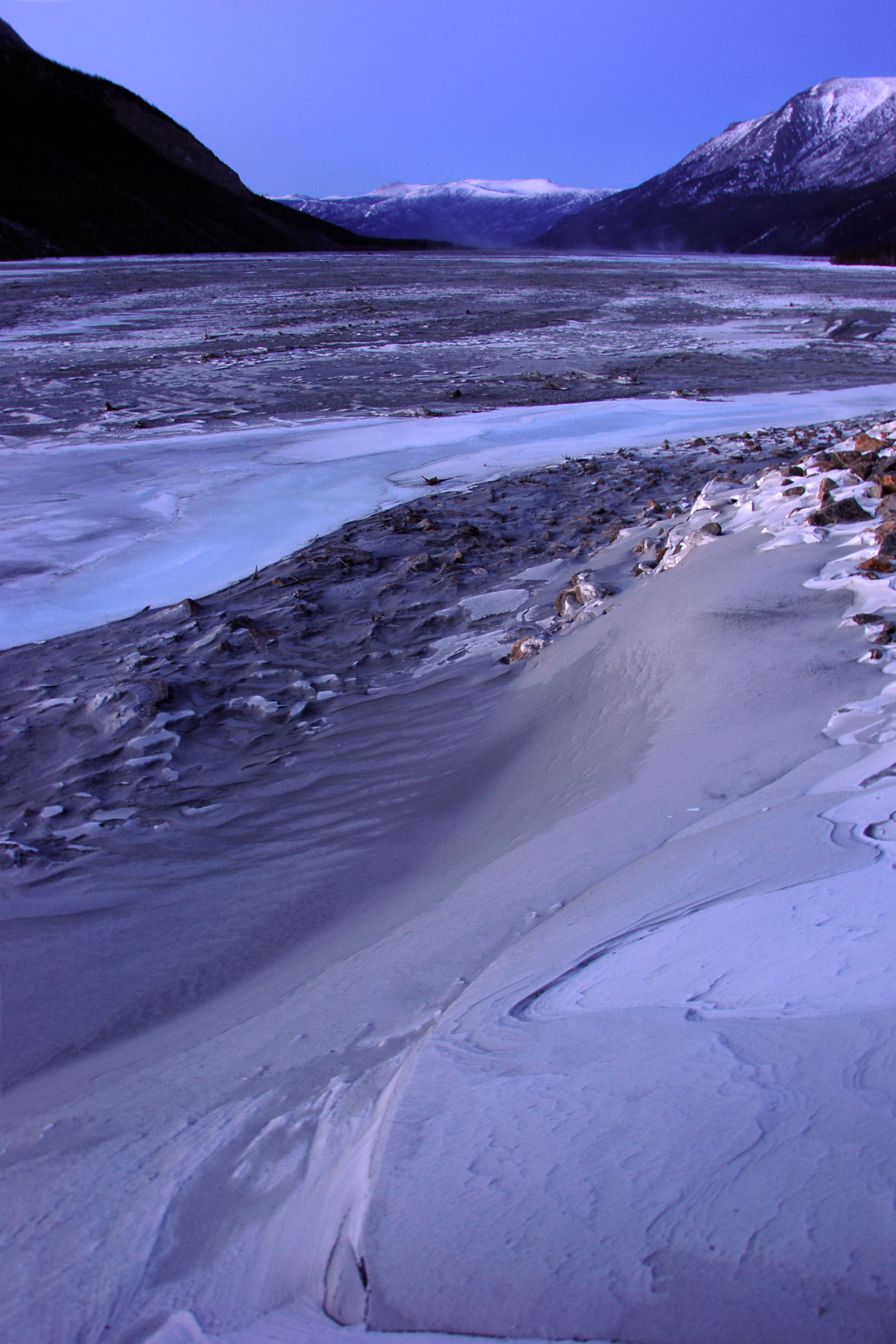
This is looking north, off the other side of the bridge.
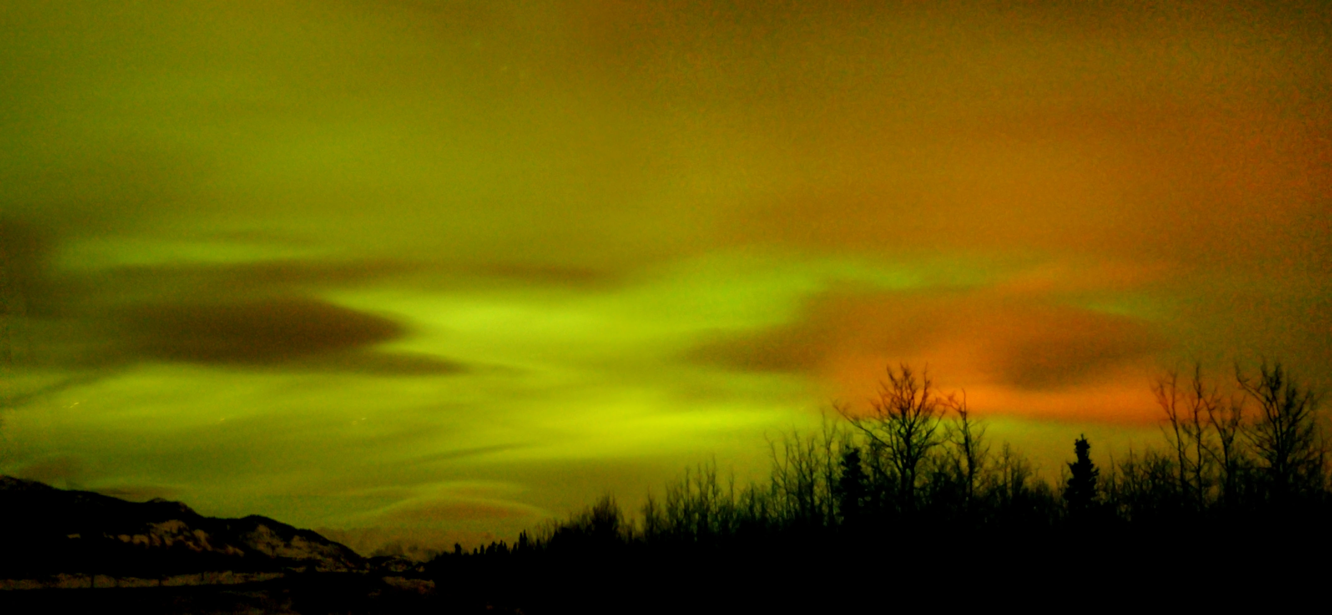
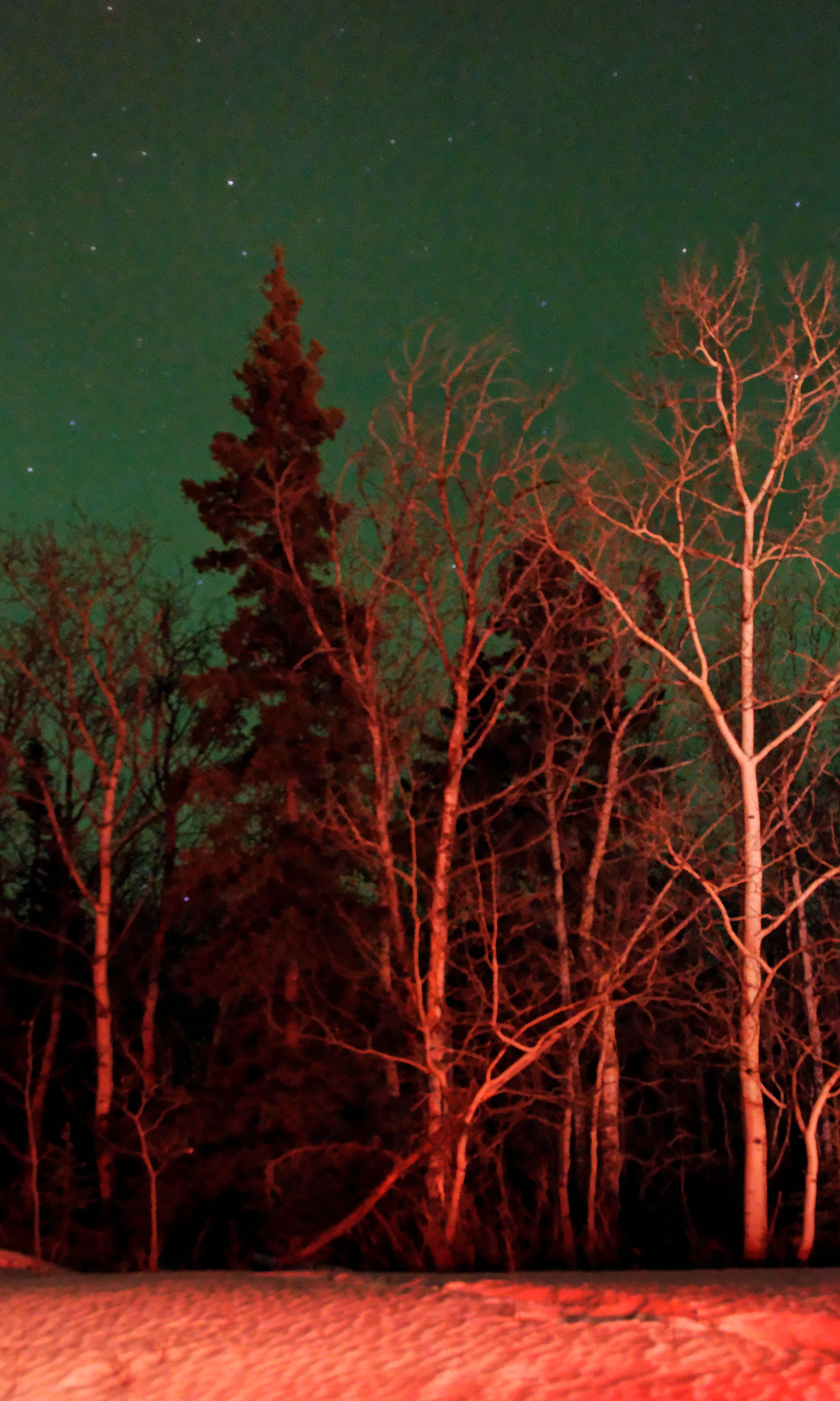
The most unusual northern lights photo I’ve ever taken. Partly cloudy skies. The green is the aurora, and the red is the reflection of Whitehorse’s municipal lighting.
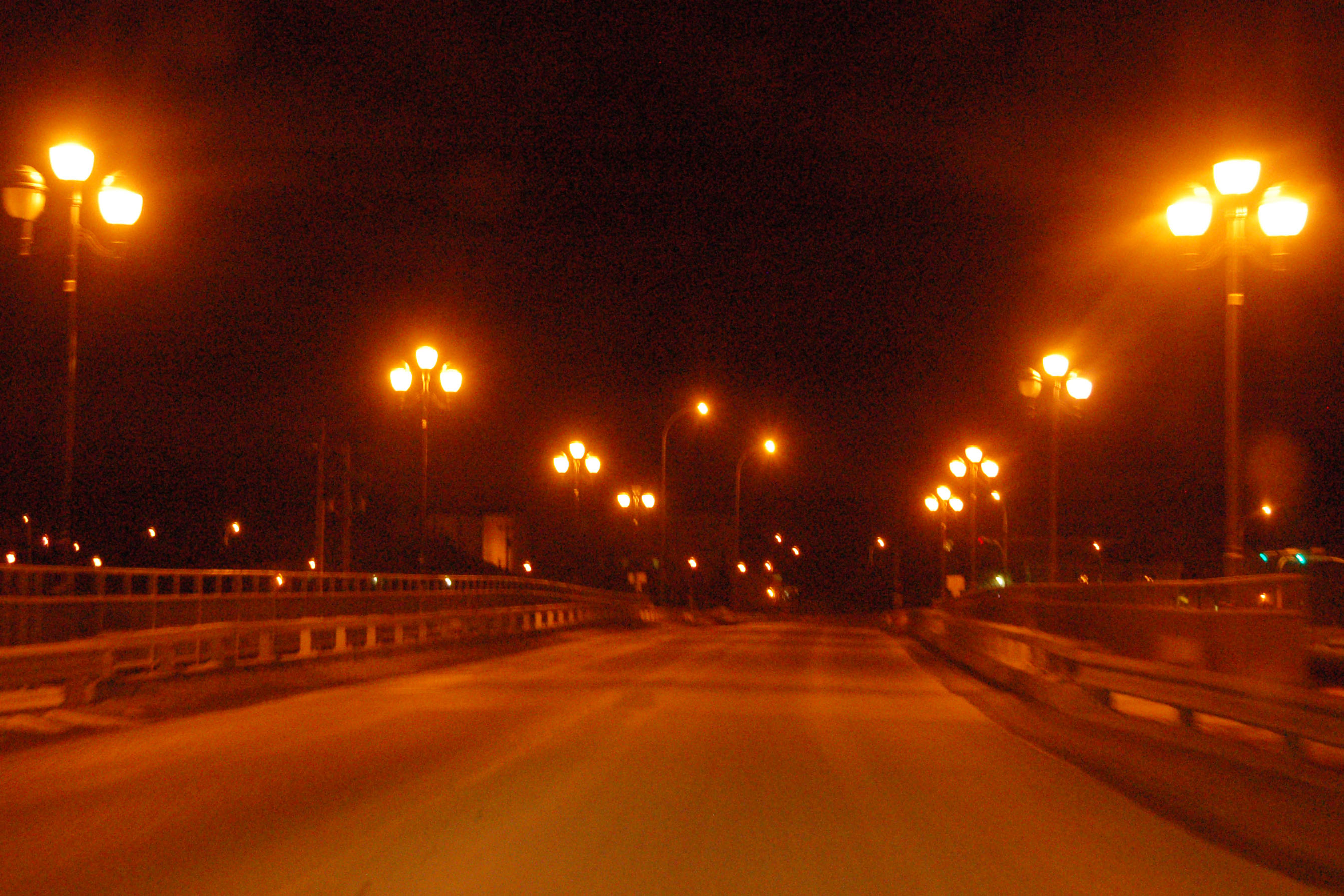
Lights of Whitehorse. If you look really carefully at the left edge, you can see a bit of the northern lights through the clouds.
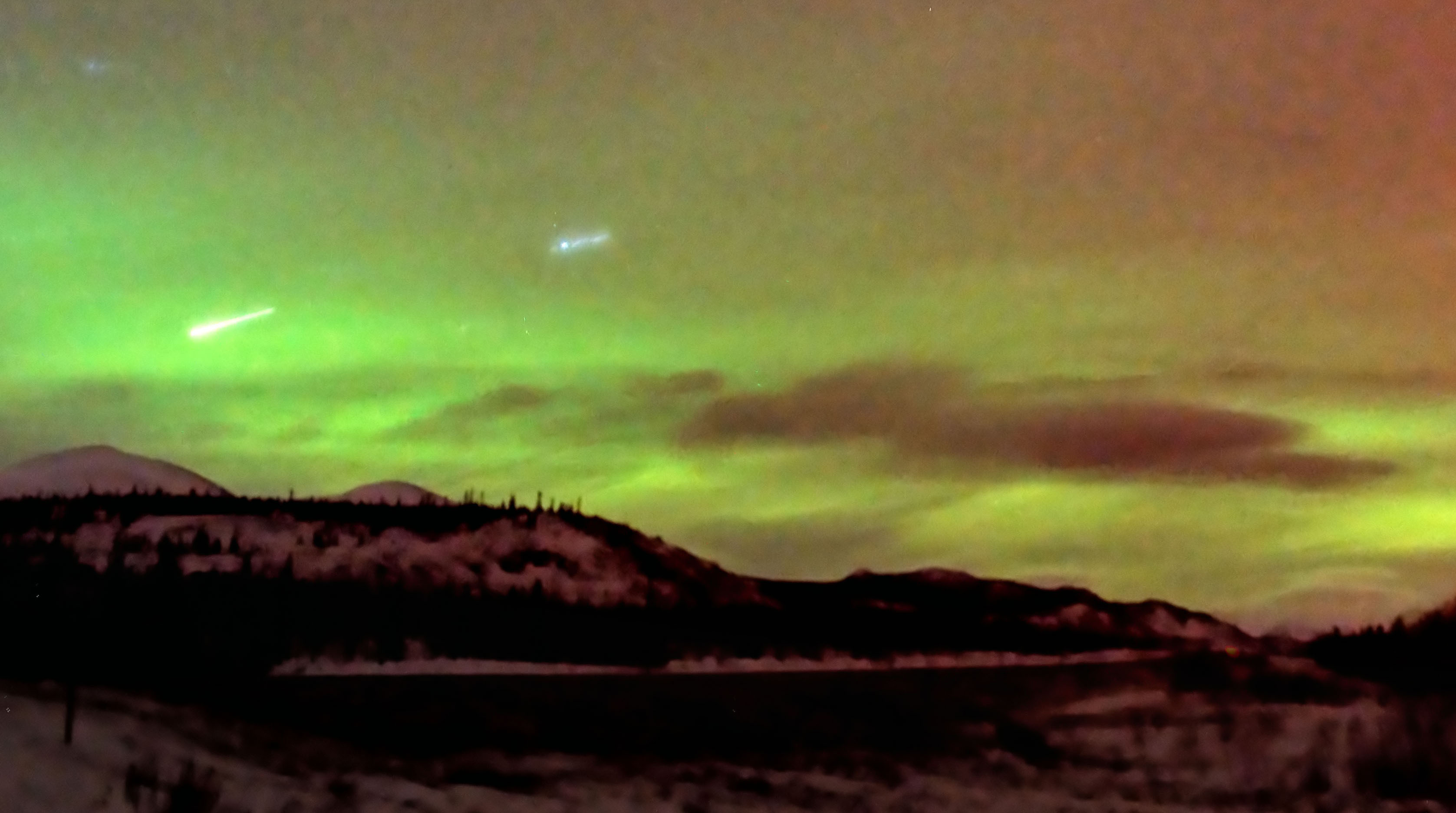
A six-minute exposure of the northern lights. Note meteor at left. [Dan freezing his hindquarters off.]
One of only four bridges across the 2100-mile Yukon River. There is one on the Klondike Highway, one on the Alaska Highway, one on the Dalton Highway … and then this one that connects the two halves of Whitehorse together.
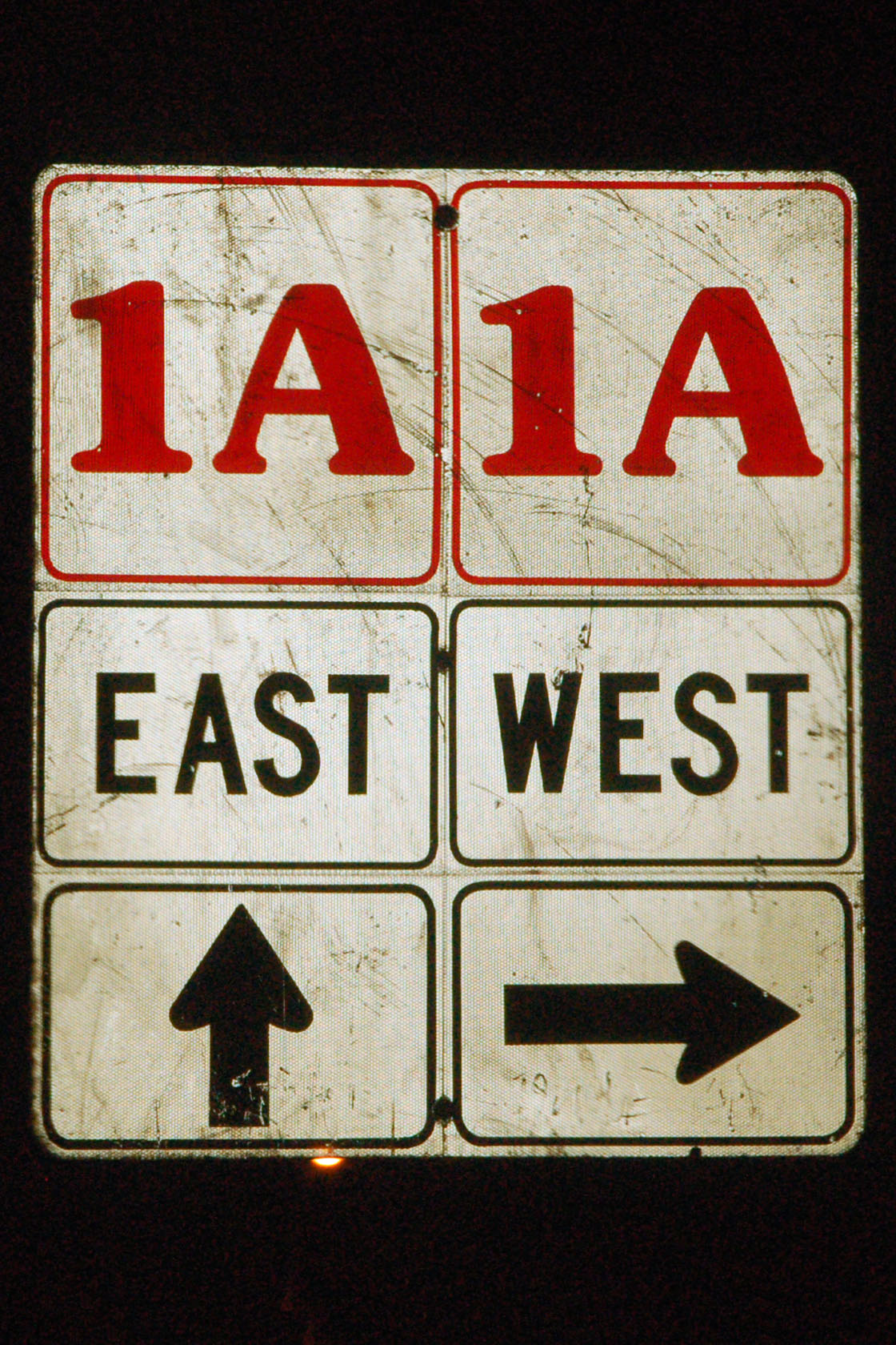
Here in downtown Whitehorse is about the only place that Yukon uses stand-alone directional shields. 1A is the old downtown alignment of the Alaska Highway, as opposed to the route that bypasses the town.
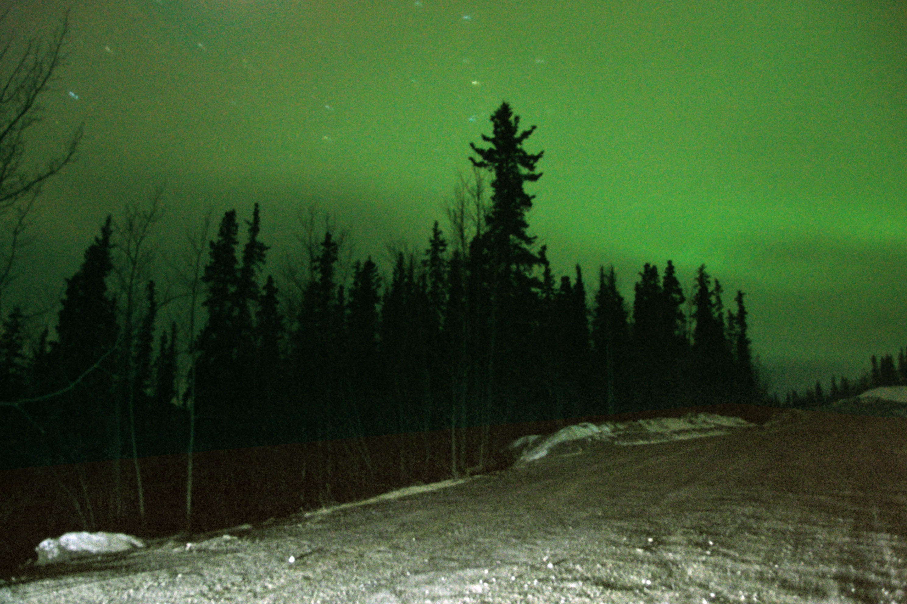
Garbage access road, everybody!
Dan takes one final picture as I turn the car on, and the brake lights illuminate the trees.
And that’s day 5. Next up, day 6 – where we return to Watson Lake, then head down the Cassiar Highway (37) to the Yellowhead Highway (16) and run into the storm that nailed us in Anchorage.


These are some of the best shots yet along this trip. I am totally digging all the steel truss bridges along this road. It all makes me want to make the trip myself one day.
go for it! :)
I’ve never driven to Alaska in the winter! I don’t think I would be that brave. But I would love to see the Northern Lights.
Loved your pictures! Lynnb
Labor Day weekend is a good time to see the northern lights – that is one of two annual peaks for solar activity (due to the Earth’s position in orbit around the sun) and the weather is quite reasonable in Alaska then.