
Brent drove from Chicago west to QC and met up for a joint trip southeast to Champaign. A quick cold front blew through the morning of, washing out most of the ride west.
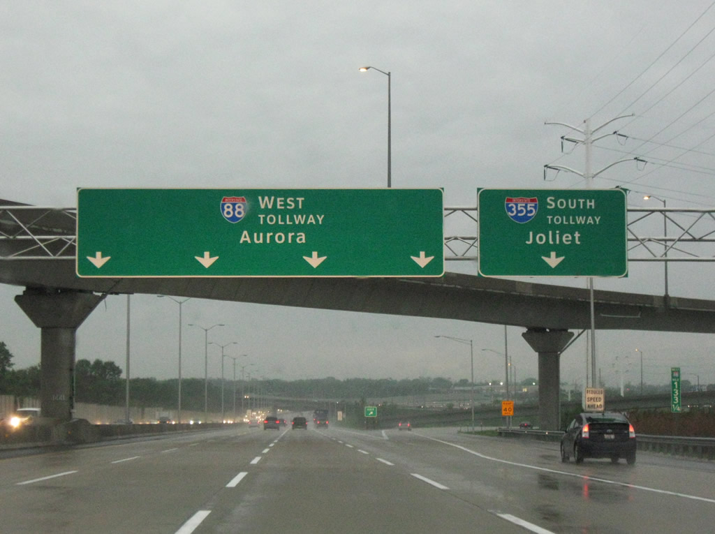
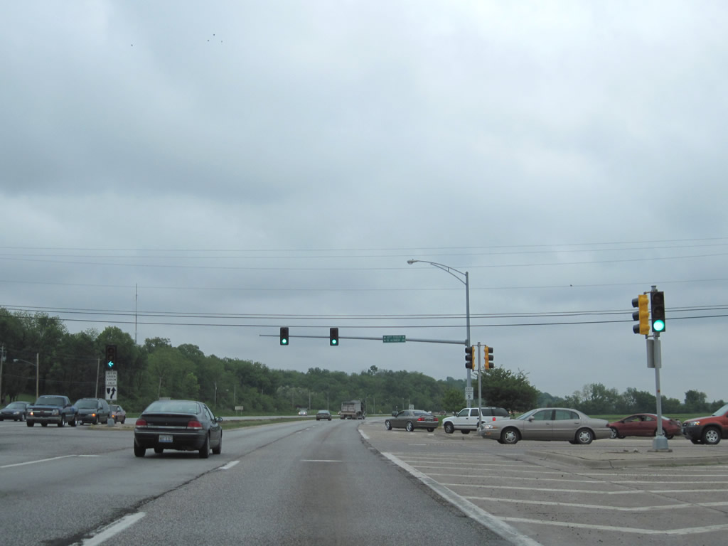
This view shows that construction along Interstate 88 (East-West Tollway) is finally complete!
If you drove through in 2008, you noted jersey barriers everywhere and your eyes bled orange.
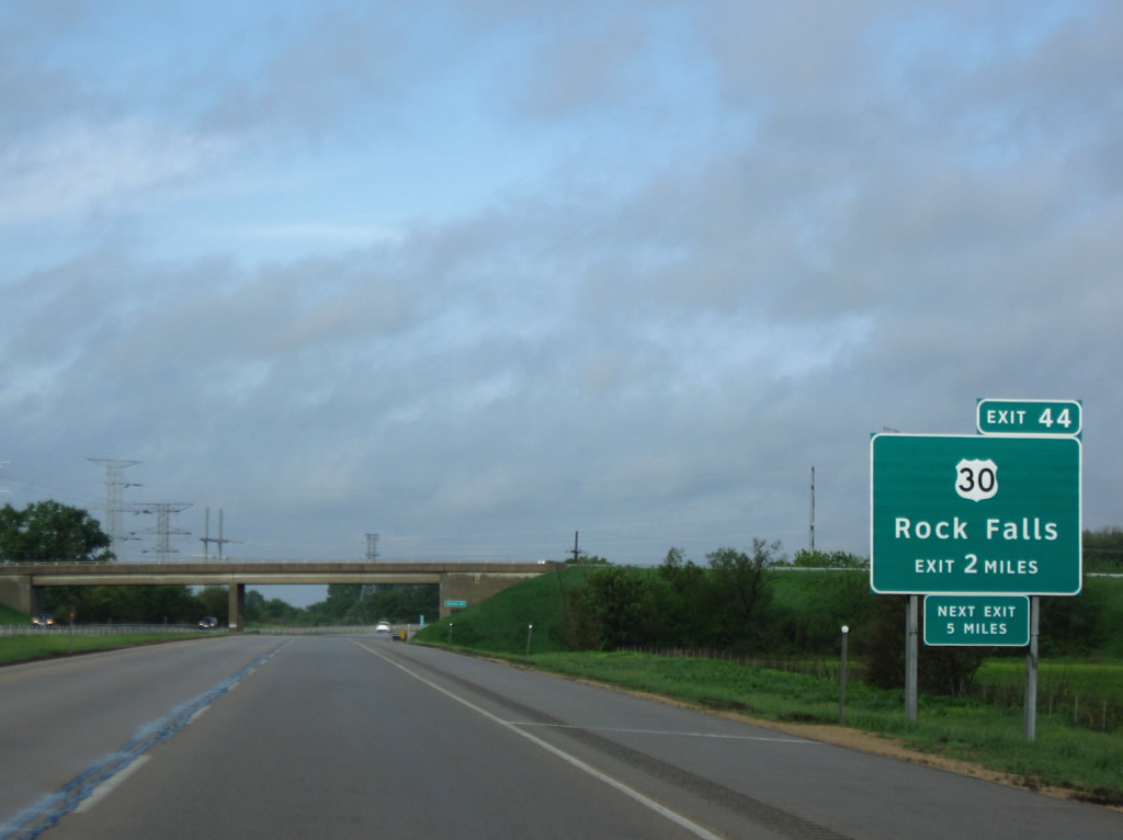
The Illinois Tollway is slowly implementing exit numbering along their system. Previously, all exits were unnumbered, and the milepost system adhered to Tollway mileage in lieu of overall Interstate mileage.
Some of the new signage including exit numbers are found along Interstate 88 toward Dixon. This particular sign replaced a button copy sign pictured here.
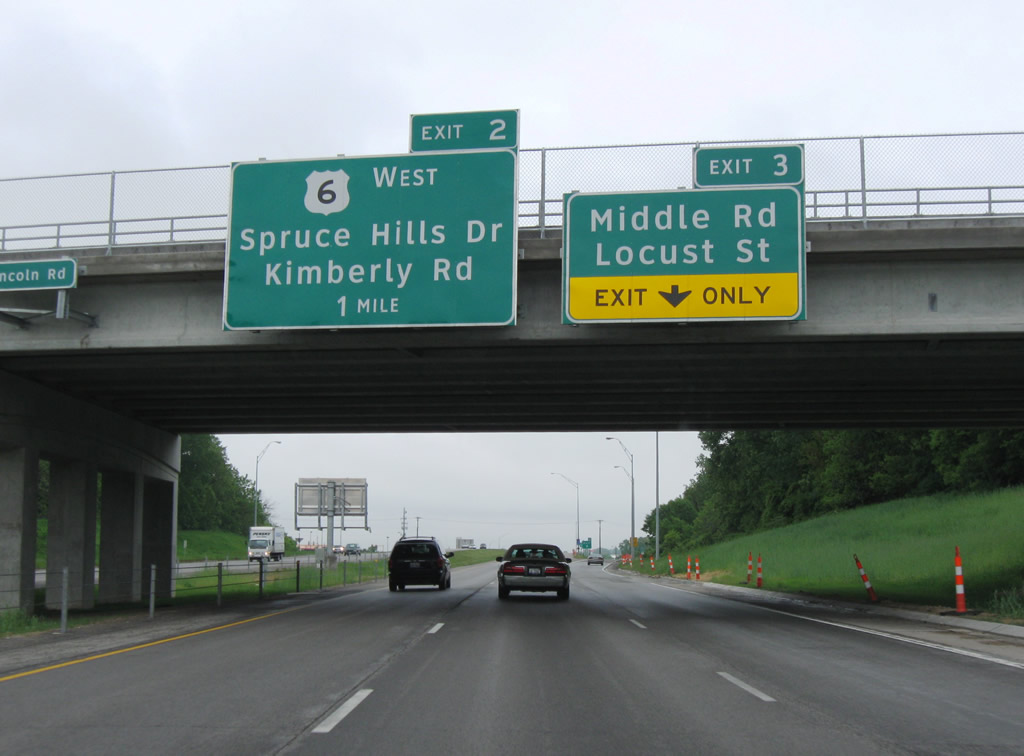
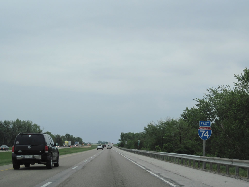
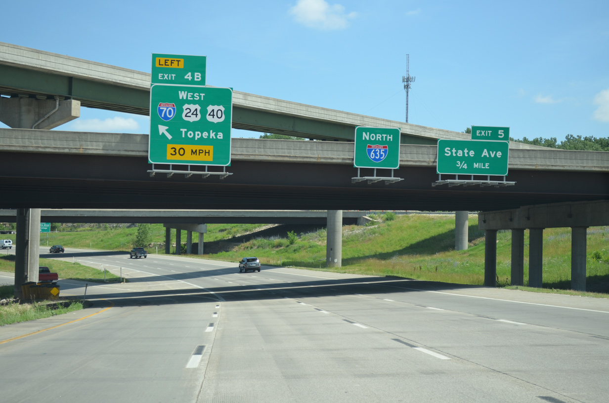
These Clearview signs for Interstate 74 west Exits 3 and 2 were installed literally the night before.
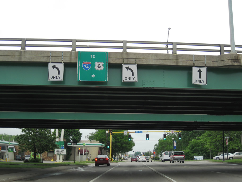
An outline shield for U.S. 6 remains in place on the I-74 Bridge over U.S. 67 northbound outside downtown Bettendorf.
Some maps show Illinois 5 as the John Deere Expressway, while others show it as John Deere Road. Signs indicate it as John Deere Road, and the four-lane divided highway is not really an expressway, but access is controlled in that no private driveways or shopping center entrances are found along the state route leading east from Interstate 74 & U.S. 6.
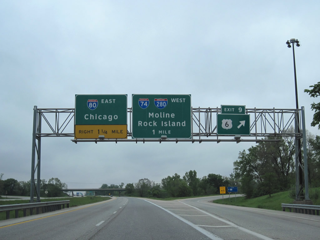
Clearview appears more and more along the Illinois Interstate system. This set of signs are located along Interstate 80 east at Exit 9.
The Maxwell Connector is a short expressway joining Interstate 474 (Exit 3A) with Peoria County R46 to Illinois 116 (Plank Road). A half-built cloverleaf interchange with ramp stubs are found at the east end of the four-lane road. The connector was touted as a possible east end of the proposed Illinois 336 corridor between Macomb and Peoria.
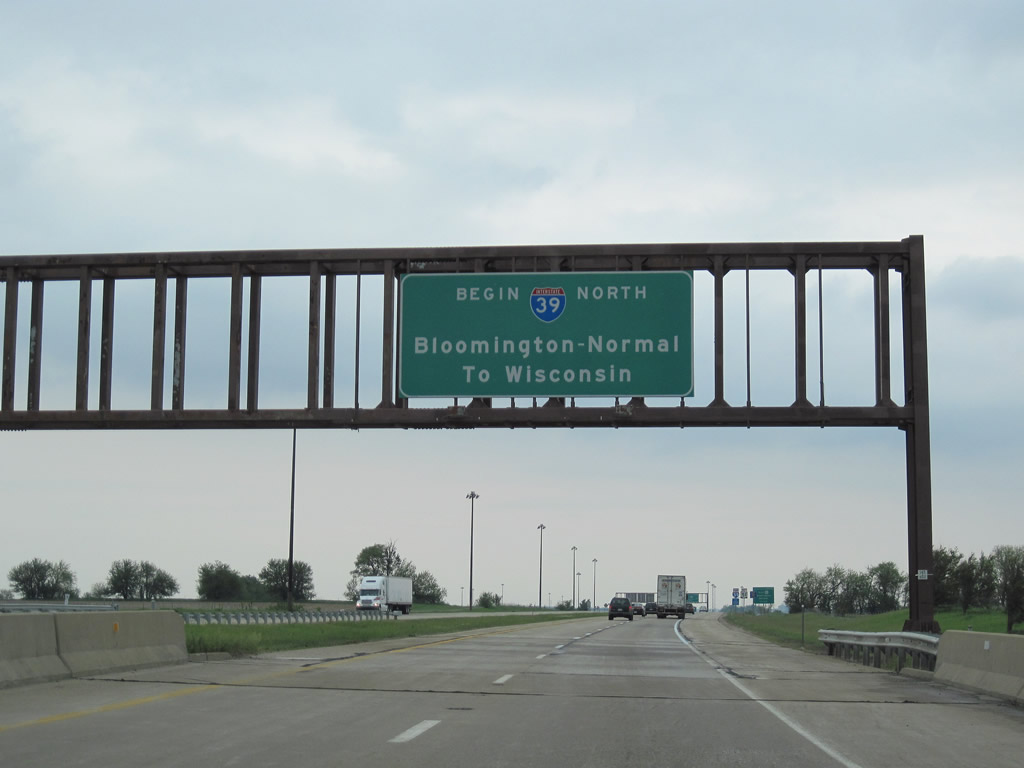
Northbound Interstate 39 begins its 123.42-mile through the state of Illinois.
Cram in those numbers! This shield for Interstate 74 resides along eastbound on the rural stretch between Exit 142 and 149.
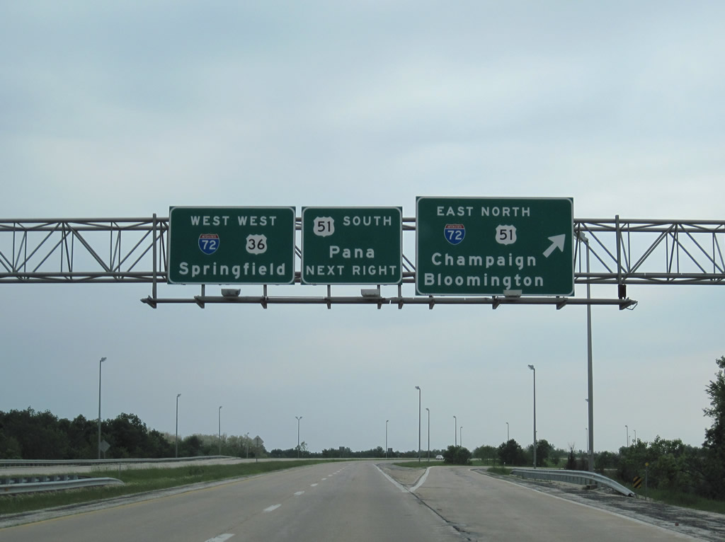
All signs for Interstate 72 were replaced with Clearview-based signage from Champaign westward to White Heath (Exit 169).
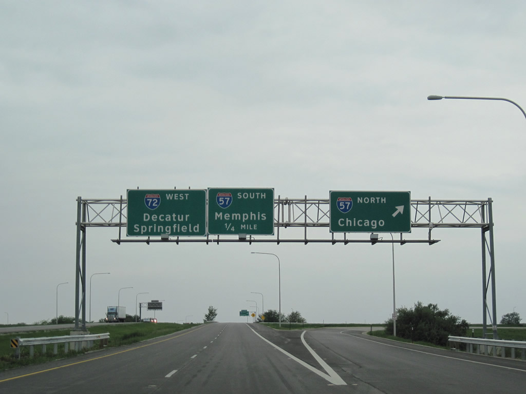
Interstate 72 and U.S. 51 bypass the city of Decatur together and expand between Exits 141 and 138 to accommodate a planned directional interchange. Ramp stubs are present for on and off-ramps in both directions for what was to be a southern extension of Interstate 39 south from Bloomington-Normal.
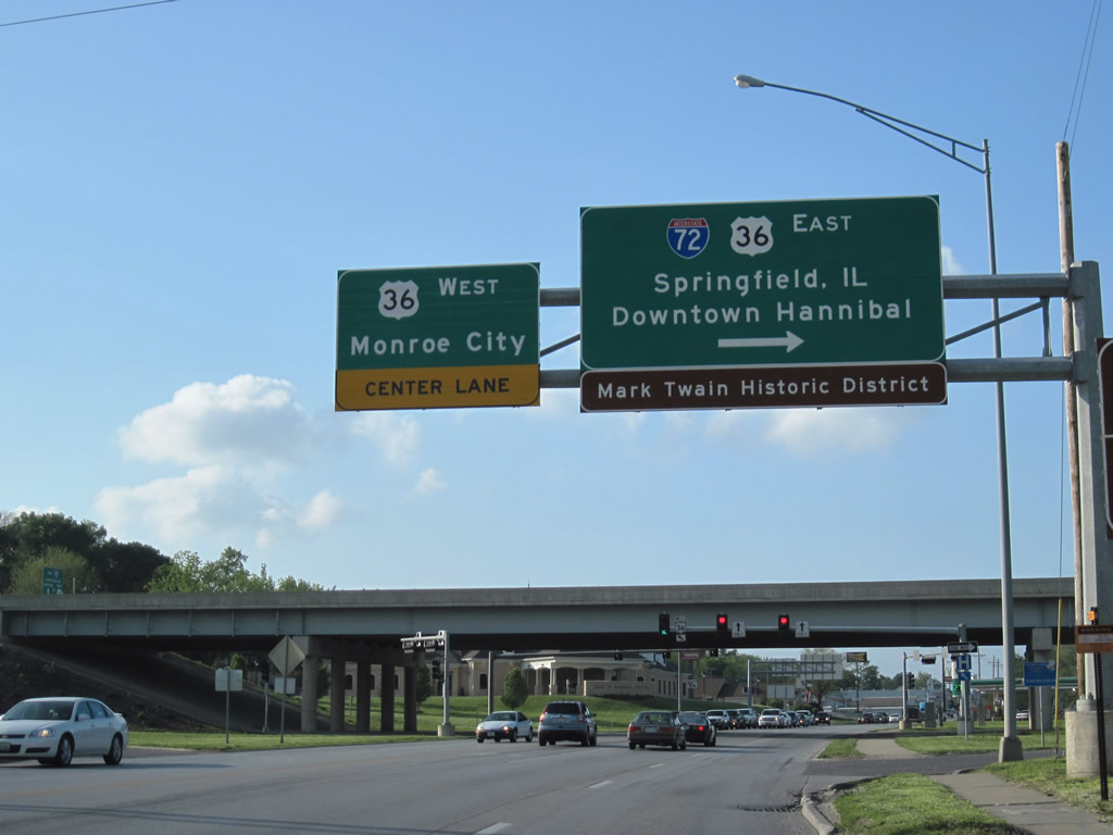
U.S. 36 exits Decatur and merges directly with Interstate 72 at its split with U.S. 51.
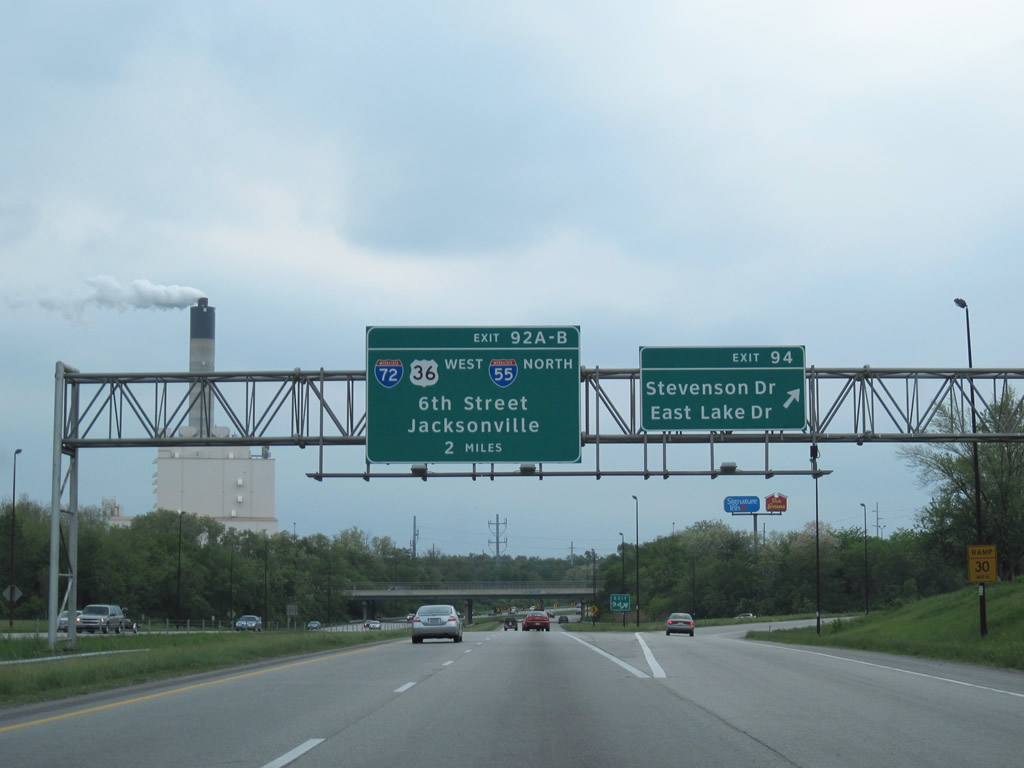
Whoah error! Travelers along Interstate 55 south & 72 west see signage for Interstate 55 north on the first Exit 92 overhead, where they split. The shield properly displays Business Loop I-55 shields on following panels.
This is not as uncommon of an error as one might expect, as sign replacements along Interstate 95 south at its vastly unsigned Business Loop for Darien, GA incorrectly display a tri-color Interstate shield in lieu of a green business loop shield.
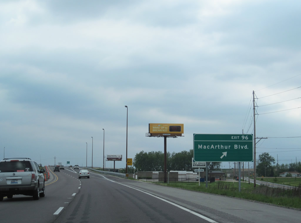
Exit 96 for MacArthur Boulevard is so new that it does not show up on many current maps. MacArthur Boulevard was extended south from Illinois 54 to Interstate 72 and Recreation Drive (eastbound side frontage road).
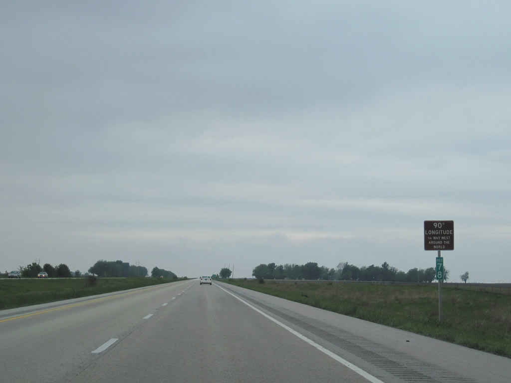
Interstate 72 & U.S. 36 cross the 90 degree meridian at milepost 78.
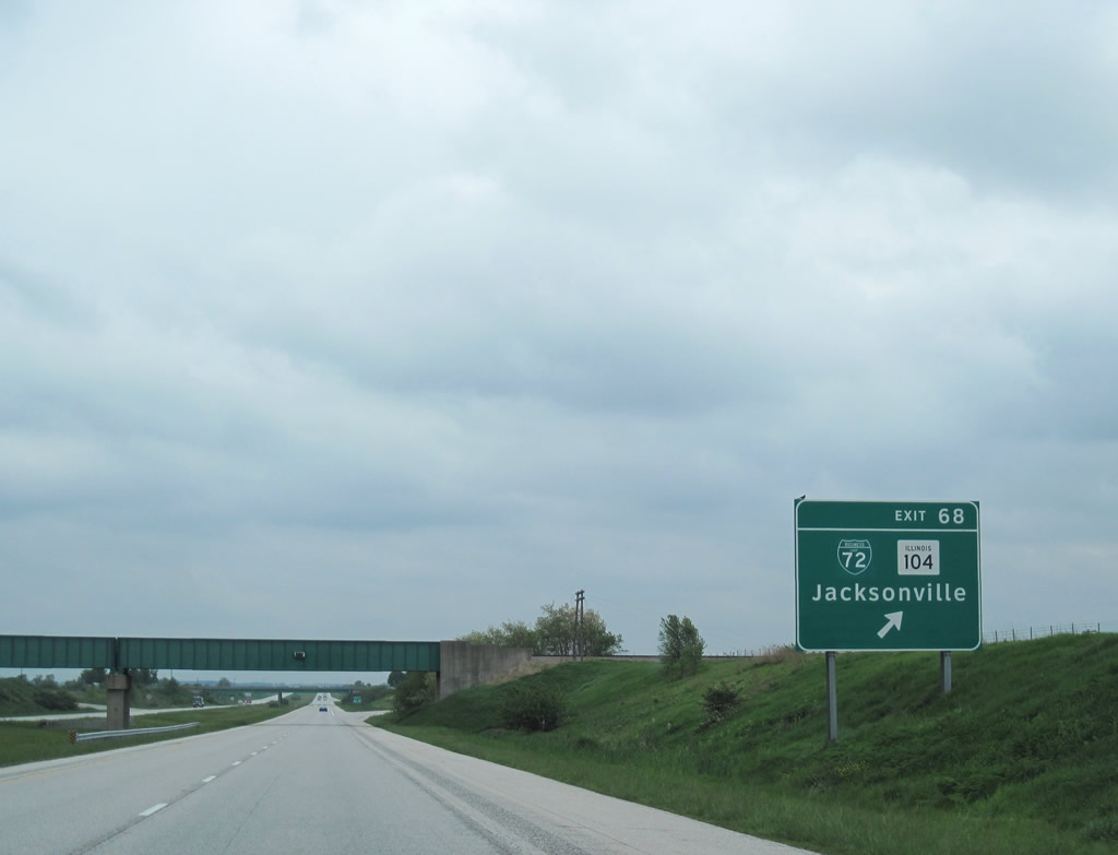
Business Loop Interstate 72 was designated by 2001 along old U.S. 36 through the city of Jacksonville. The loop follows Morton Avenue west to a merge with the U.S. 67 bypass west of town.
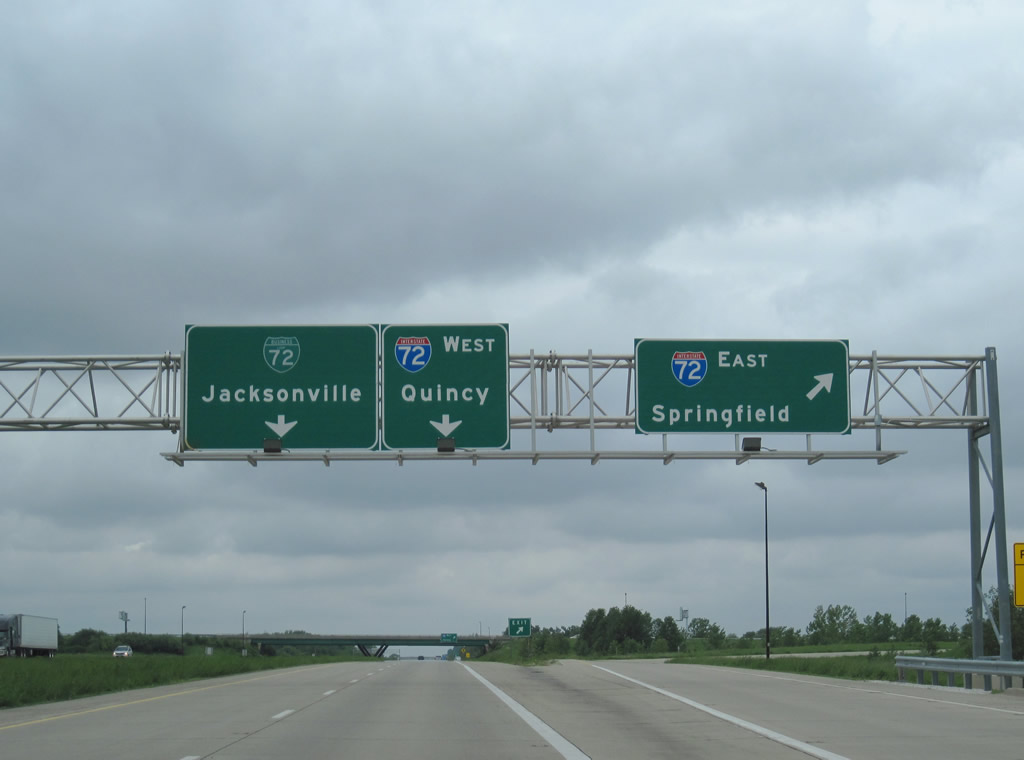
U.S. 67 meets Interstate 72 and Business Loop I-72 east at a full-cloverleaf interchange southwest of Jacksonville. The US route is ignored on the pull-through panel in favor of the business loop on northbound.
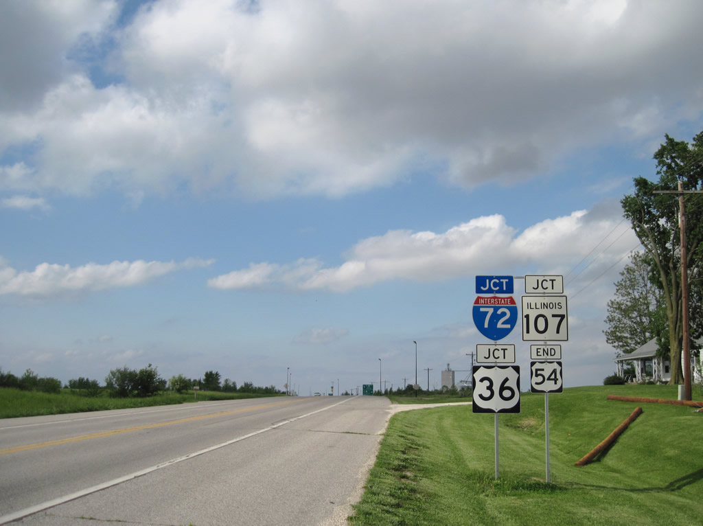
U.S. 54 originally traveled east to Chicago, but was truncated in 1972 to Pittsfield and junction U.S. 36. When U.S. 36 shifted to its freeway, U.S. 54 was extended northeast to end at what is now Exit 35 of Interstate 72.
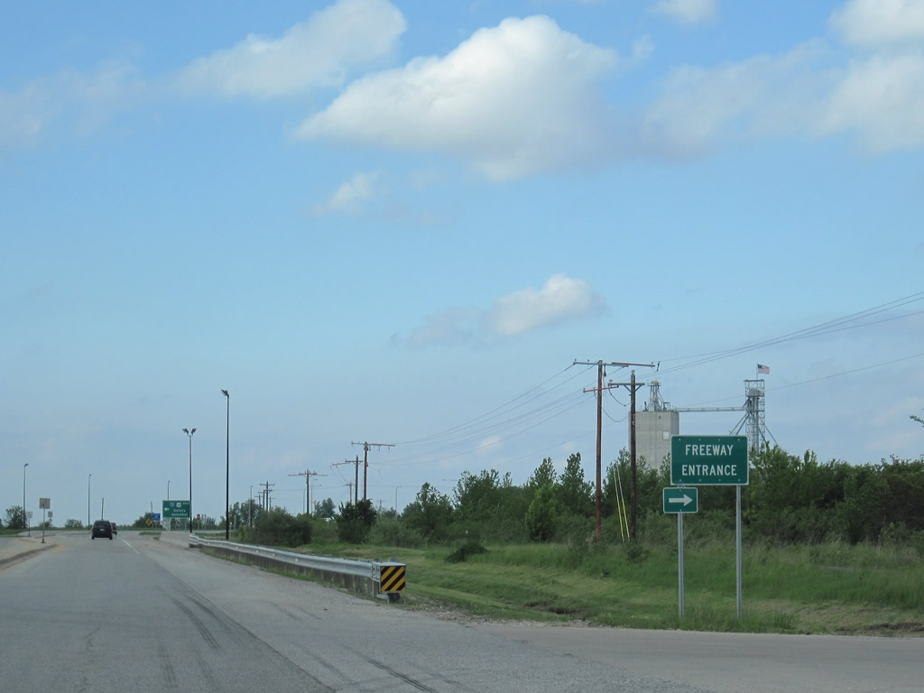
Probably the furthest east use of a “Freeway Entrance” sign in the U.S. This assembly lies at the U.S. 54 eastbound on-ramp to Interstate 72 & U.S. 36.
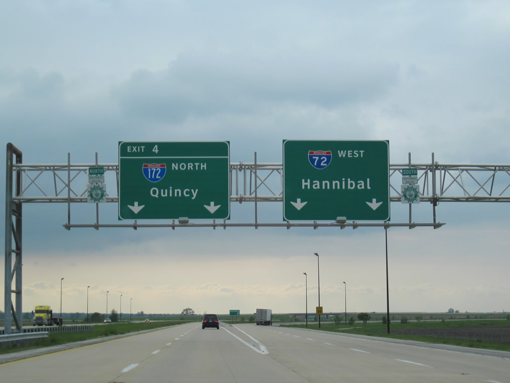
Interstate 72 westbound at the split with Interstate 172 north. All signs at this junction now feature Clearview font.
Originally AASHTO touted the entire Interstate 72 corridor west from Springfield as Interstate 172. FHWA officials preferred to designate the east-west freeway as an extended Interstate 72, which led to designating the north-south leg as Interstate 172. This was approved on April 22, 1995.
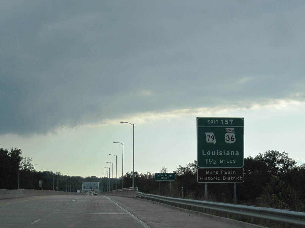
Heading toward the Mark Twain Memorial Bridge across the Mississippi River, Interstate 72 & U.S. 36 see the first sign for the only Missouri exit of the Interstate highway. U.S. 36 Business begins at the diamond interchange (Exit 157) and loops south through Hannibal.
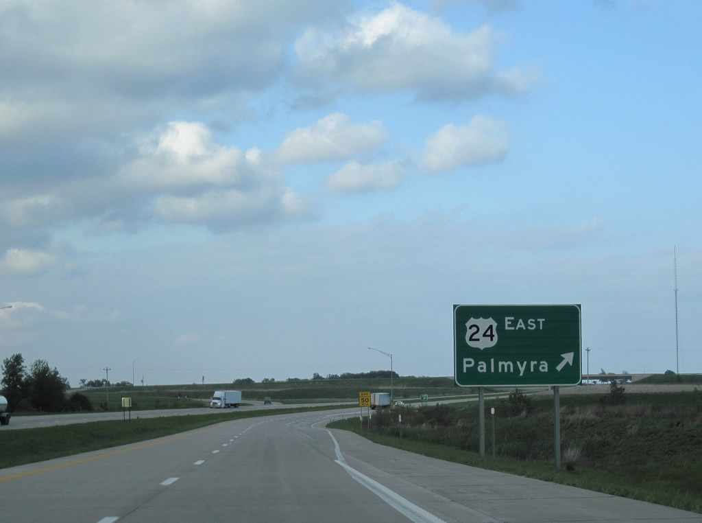
The U.S. 36 freeway continues west from Interstate 72’s end at U.S. 61 to the merge with U.S. 24 at a diamond interchange. This freeway appears to be up to modern standards, yet Interstate 72 remains with just 2.04 miles in the Show Me State.
U.S. 36 Business joins U.S. 61 north along McMasters Avenue from James Road to a SPUI with Interstate 72 east and the U.S. 36 freeway.
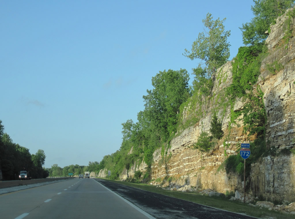
Ascending from the farm field plain east of the Mississippi River along Interstate 172 north near Fall Creek.
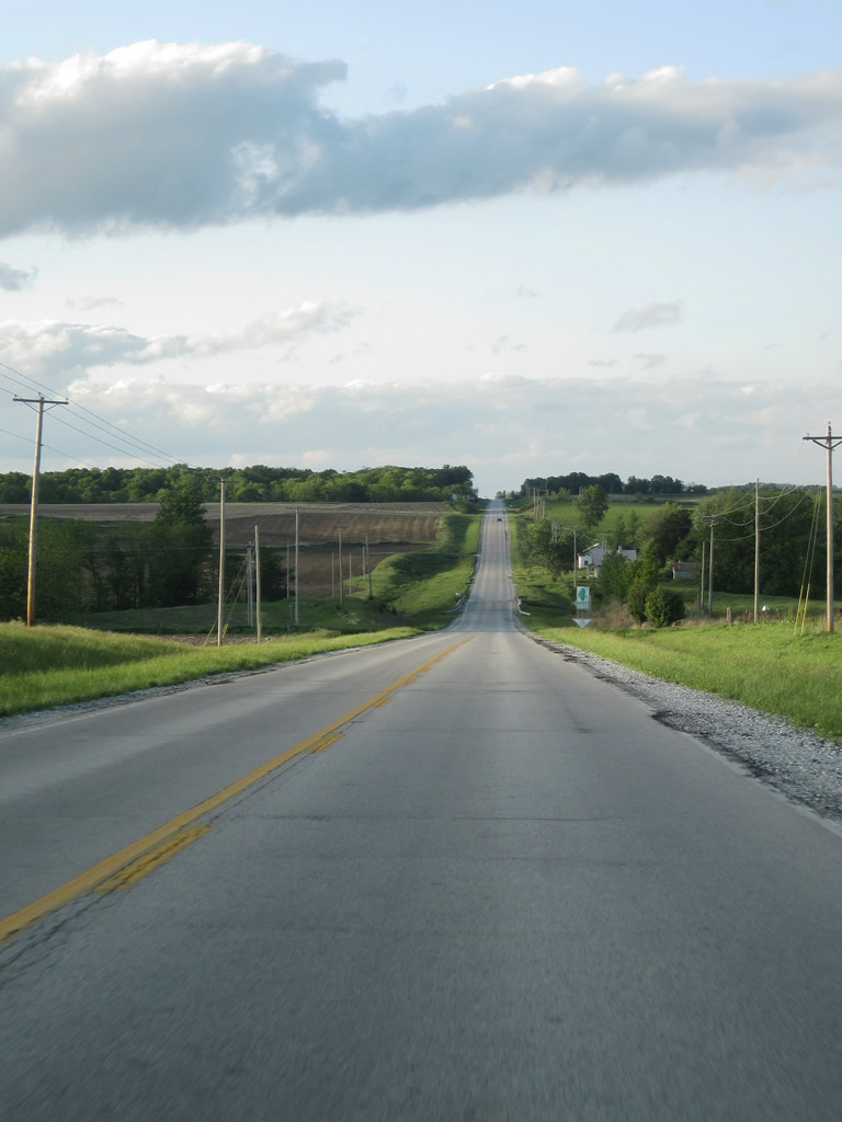
Rural scenery along Illinois 96 north near the crossing of Rocky Run west of Sutter.
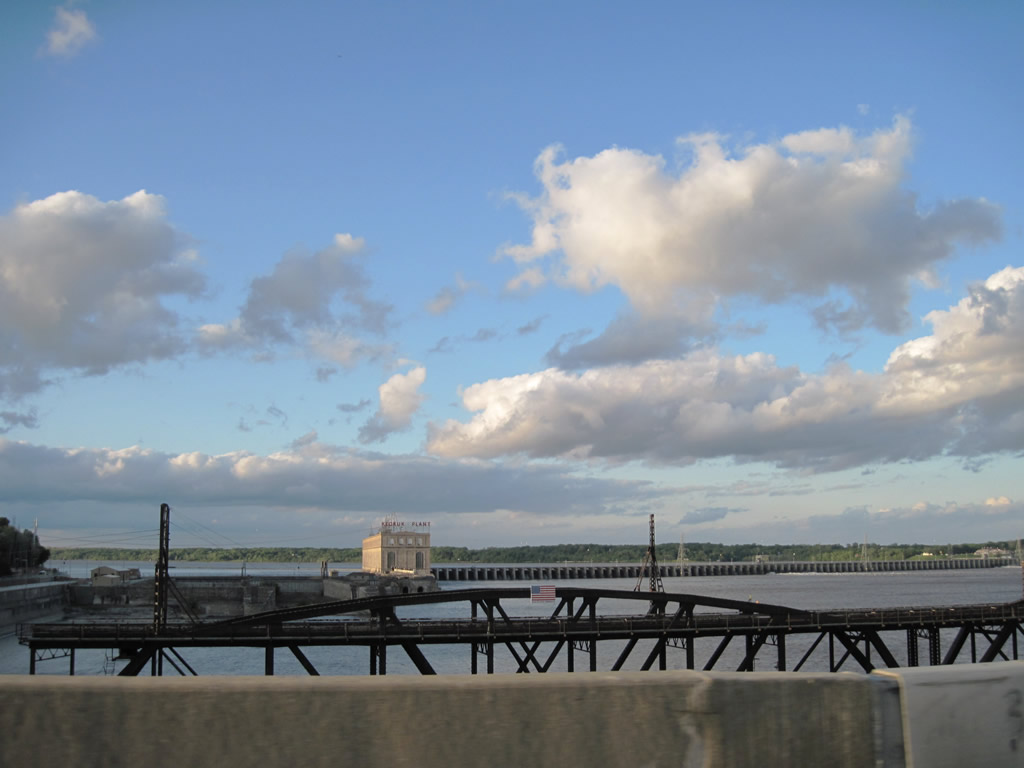
Crossing the Mississippi River along U.S. 136 between Hamilton, Illinois and Keokuk, Iowa. Keokuk Dam lies to the north of the span.
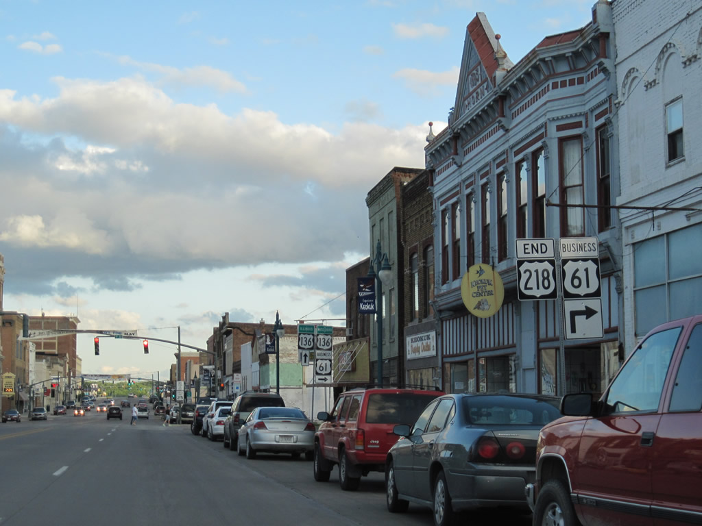
U.S. 218 concludes at the junction with U.S. 136 (Main and 7th Streets) in downtown Keokuk. The three-state route travels 319 miles, but originally was twice as long, ending at Morehead, Minnesota instead of Owatonna.

A BNSF engine travels south across a truss bridge parallel to U.S. 61 & 136 over the Des Moines River between Iowa and Missouri.
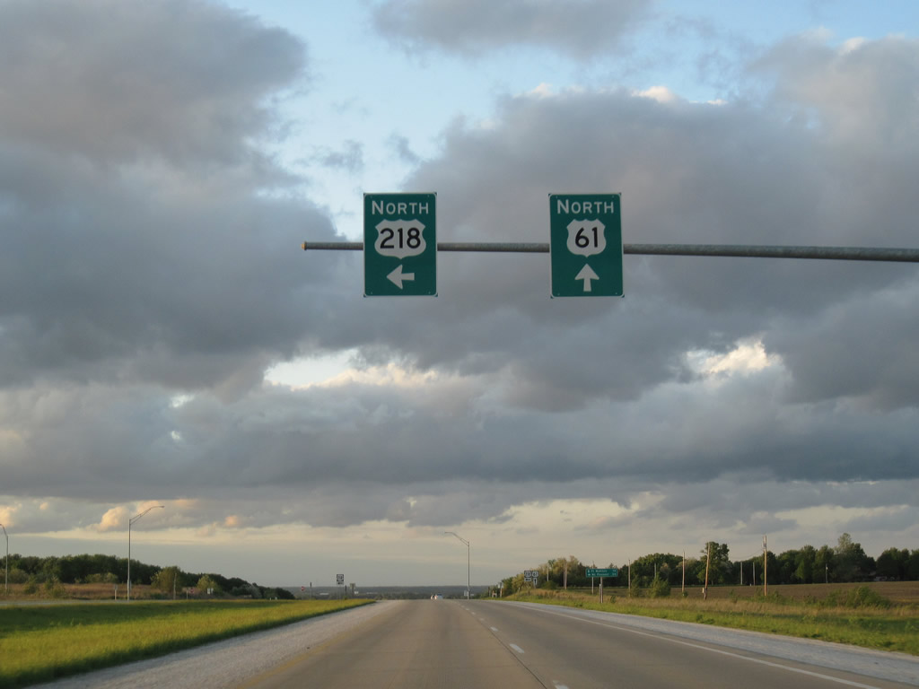
U.S. 218 angles northwest from U.S. 61 outside Montrose to join the Avenue of the Saints Corridor (Iowa 27) south of Donnellson.
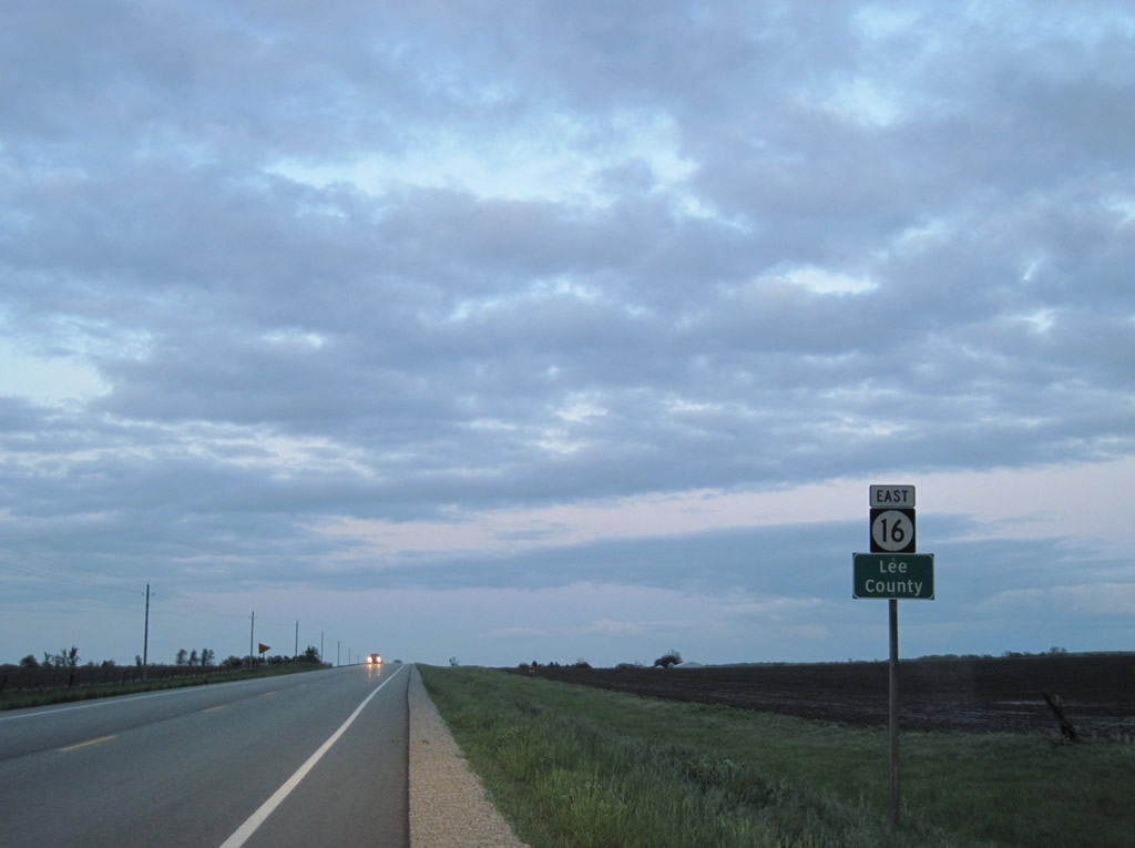
As the sun set, we embarked on some county collecting. Our last photo shows Iowa 16 east leaving Van Buren County at the tripoint between itself, Henry County, Lee County.


