
Photos from late August of this year, when Daniel Brim and I drove from California to New Mexico … in a moving van. Always fun doing three-point turns on narrow old alignments. We stopped at Antelope Canyon along the way – and this set will not include any pictures from there, as it ends just as we get there. The next batch will be the canyon itself.
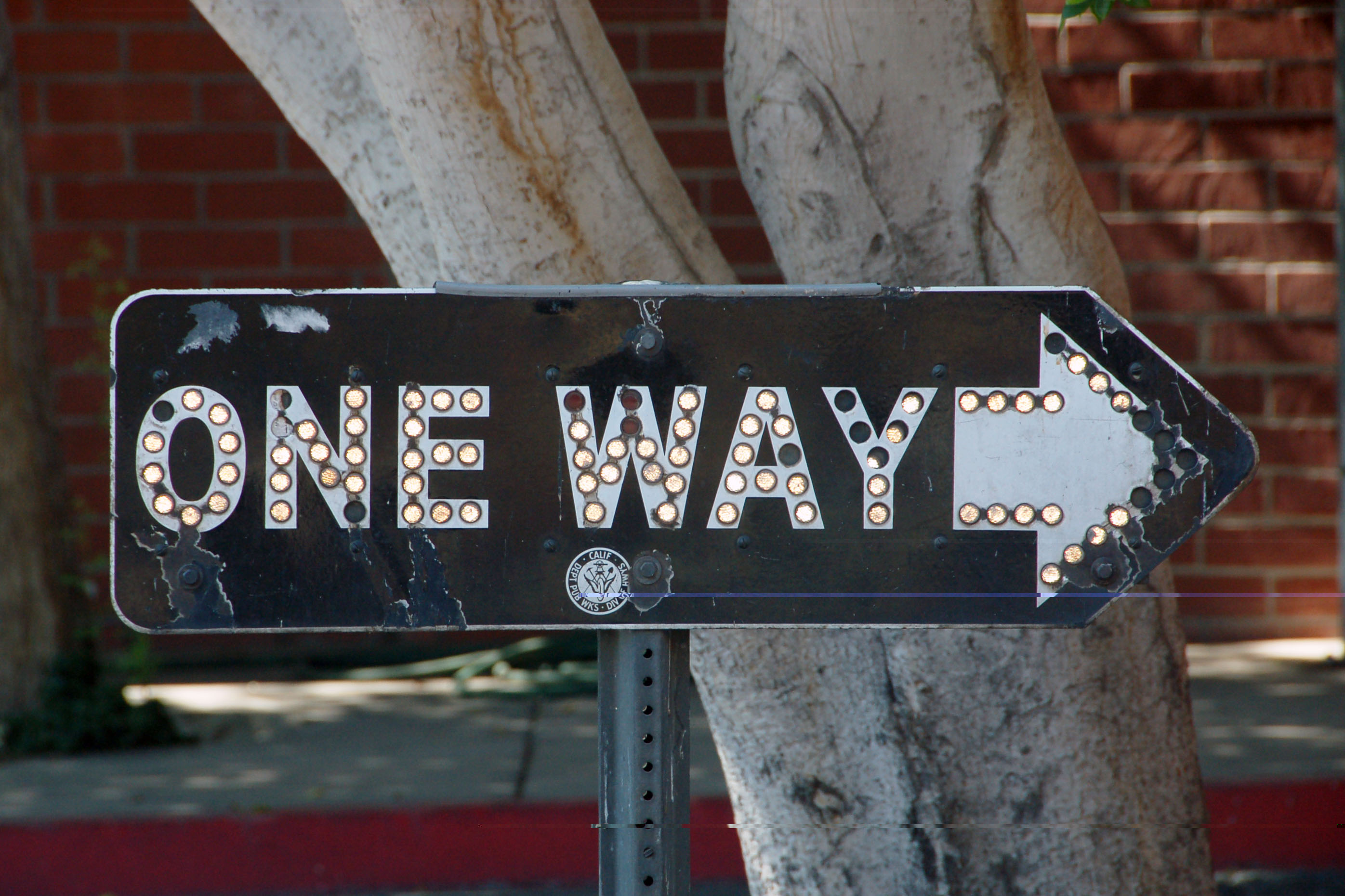
Part of the collection of someone who wishes to remain anonymous. Well, the signs are visible to anyone from the public right-of-way, so you can go find them if you want! This style of directional sign, complete with glass reflectors, was used on high speed thoroughfares from 1933 to the early 50s.
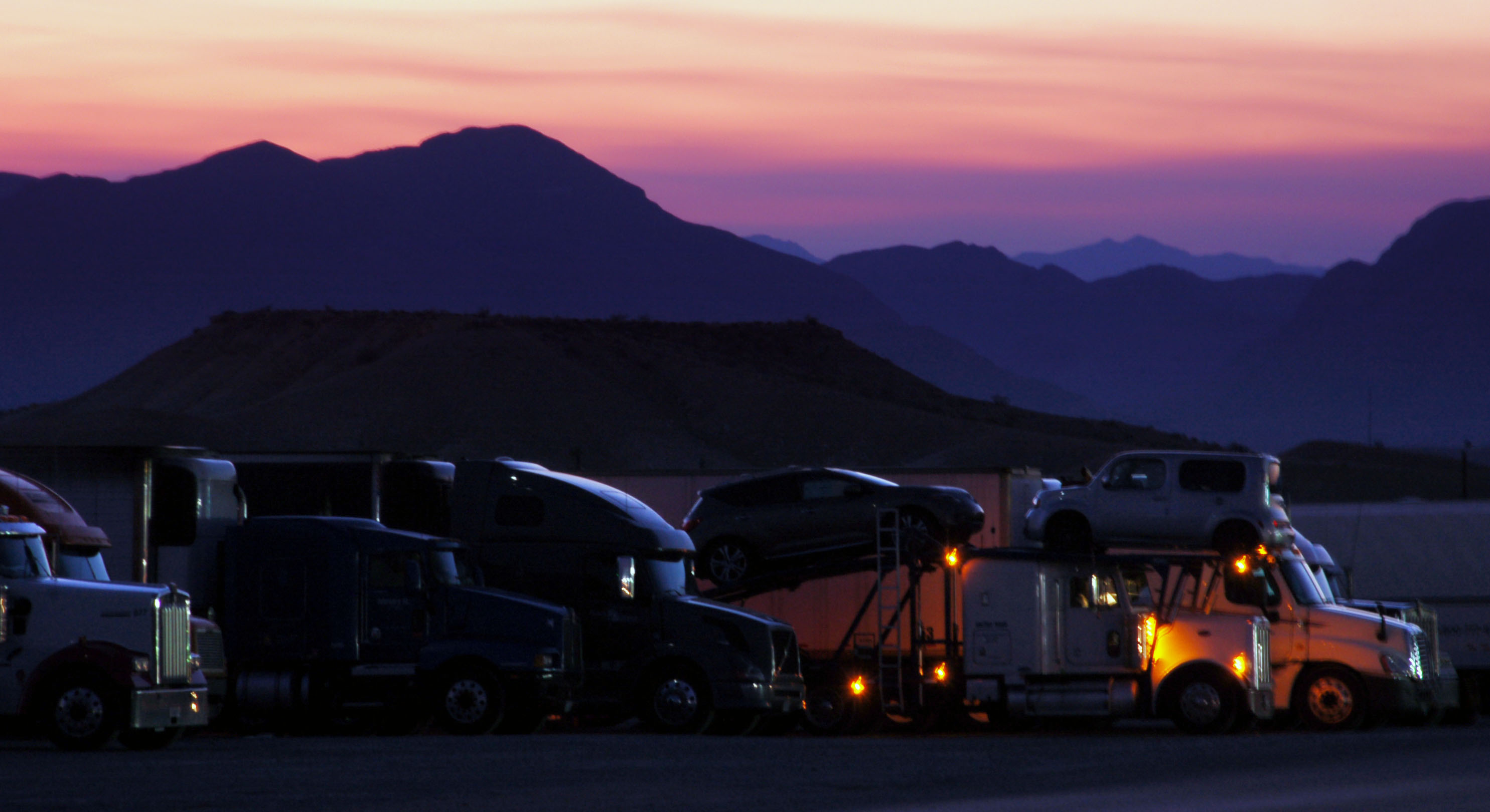
Nevada state route 167 branches off of old US-91. The road is lit from the side by a truck stop immediately behind us, that serves Interstate 15.
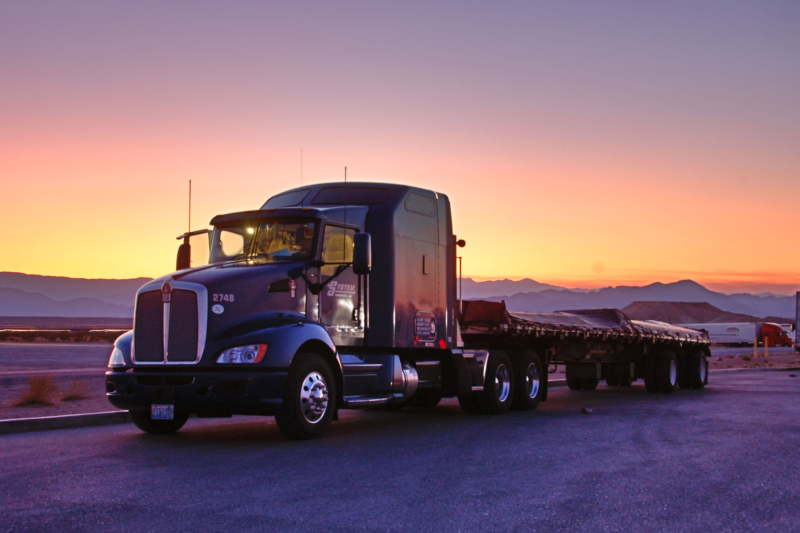
The truck stop, now with actual truck.
The Virgin River Gorge – Arizona interstate route 15. Whereas old US-91 went around it, I-15 was blasted straight through, saving about 30 miles.
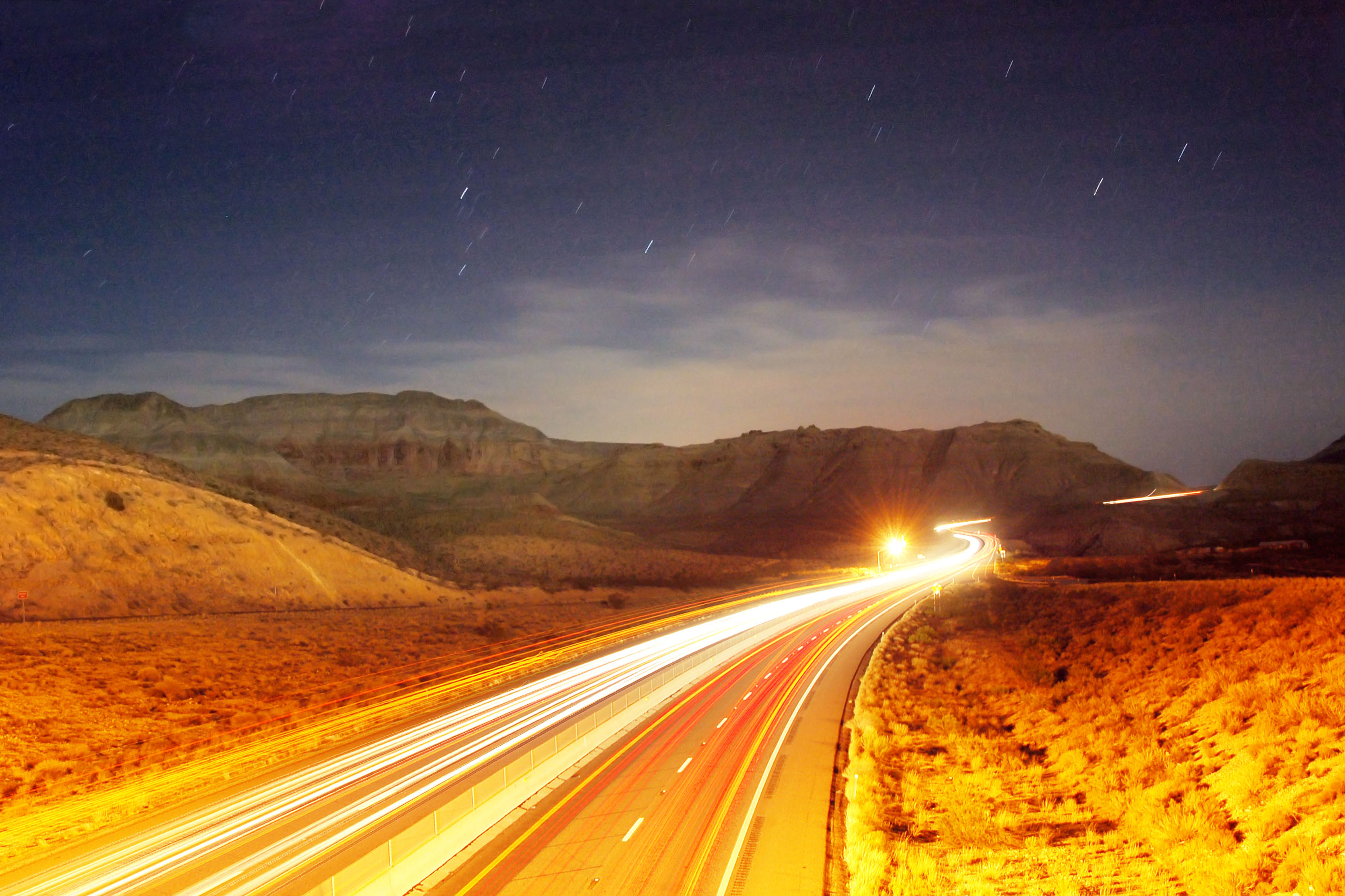
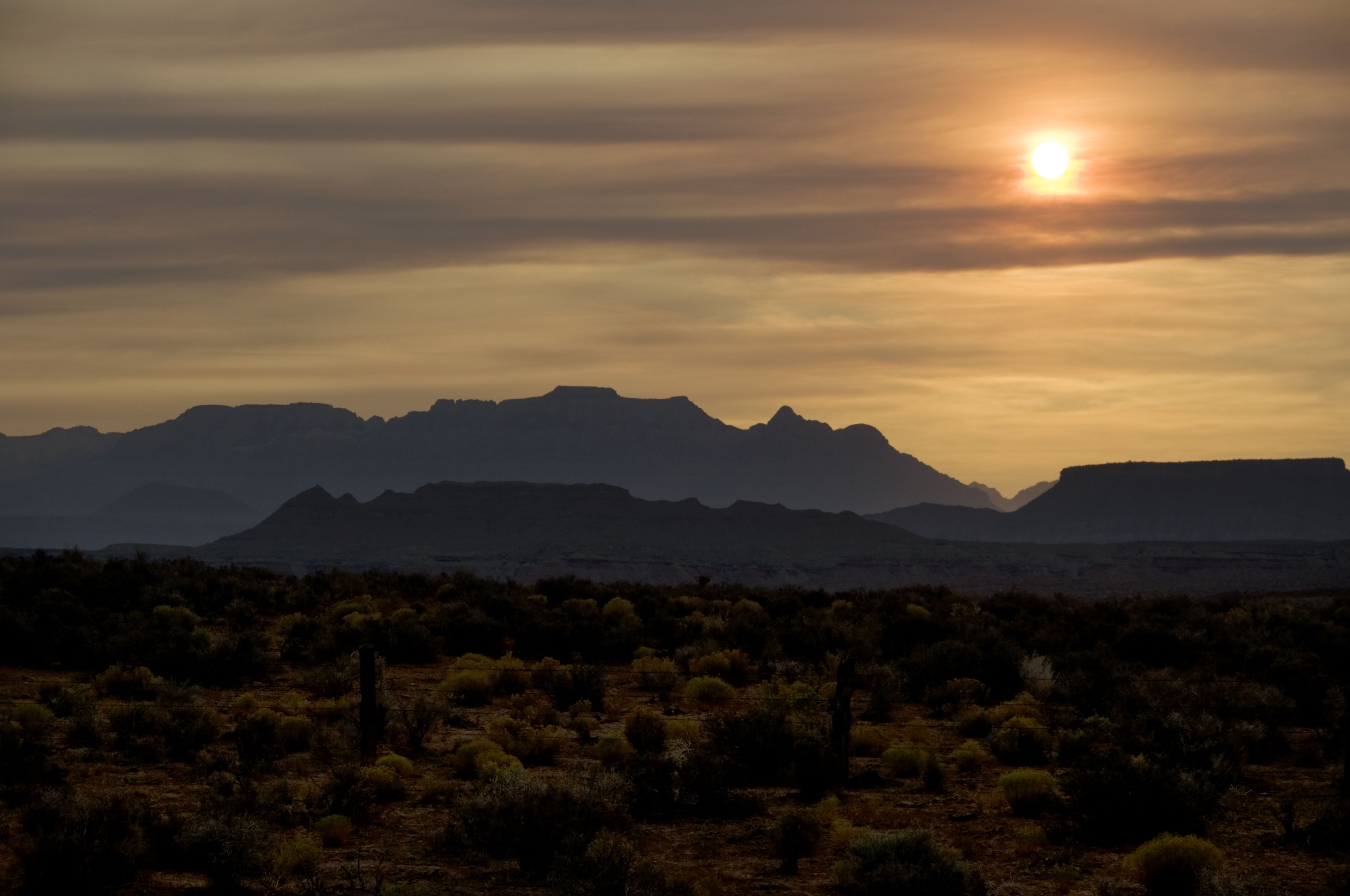
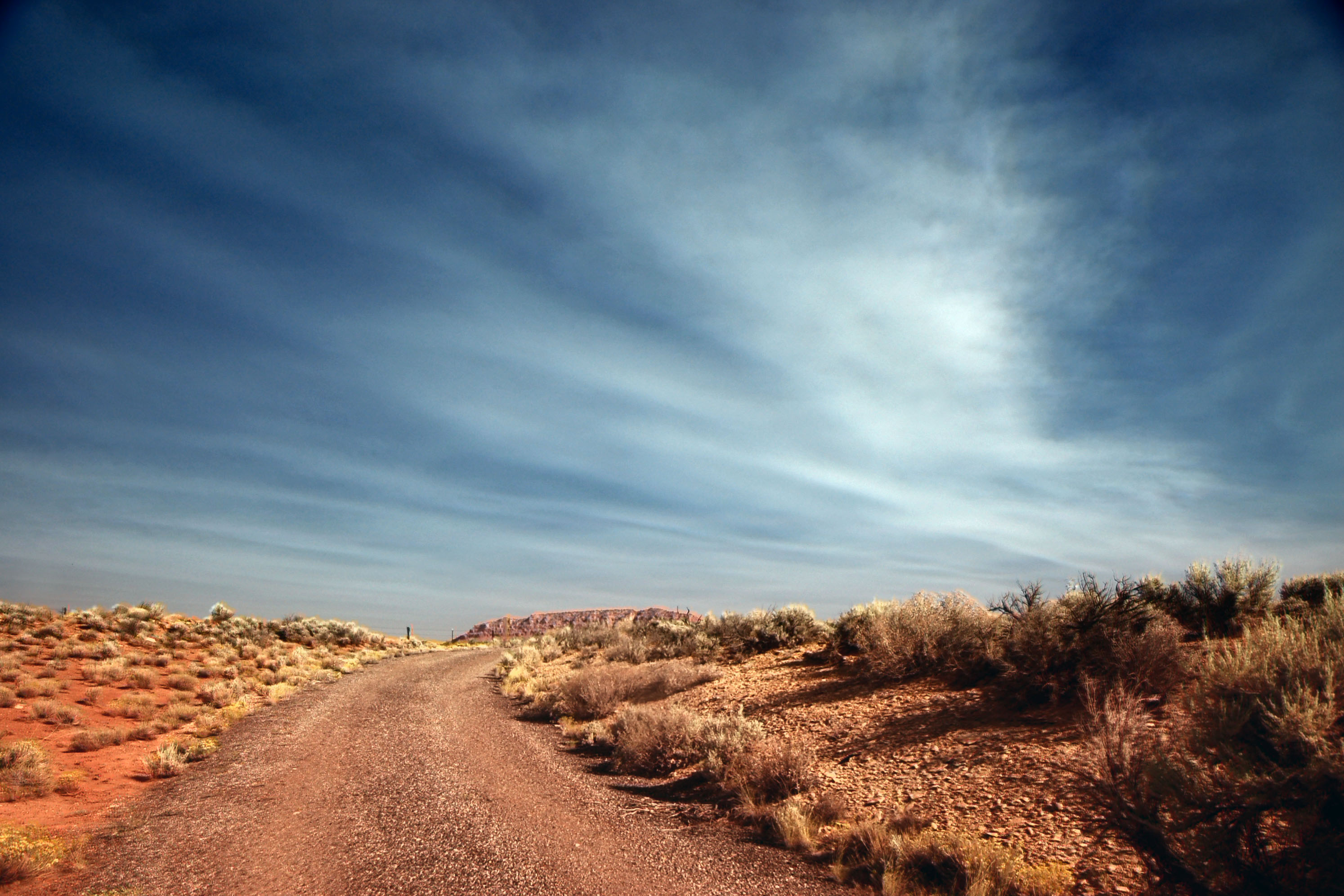
Fires in Los Angeles result in skies like this in Utah.
One from Dan, from the same general vicinity. His pictures can be found here. Go look, as his are generally like mine, except more awesome.
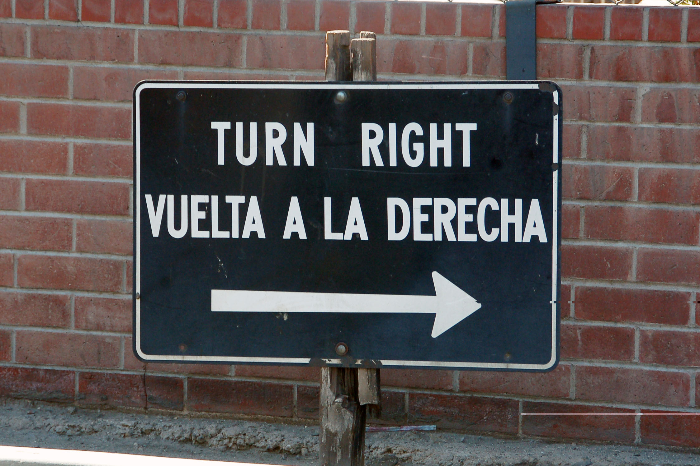
Plenty of old auto club signs in Calexico, where the Greyhound bus makes its first stop. Why a Greyhound bus? Because Yuma, AZ is the cheapest place to pick up a rental van.
Behind this 1960 porcelain sign is the Mexico border fence.
This sign dates back to the early 1950s and features the California Division of Highways logo.
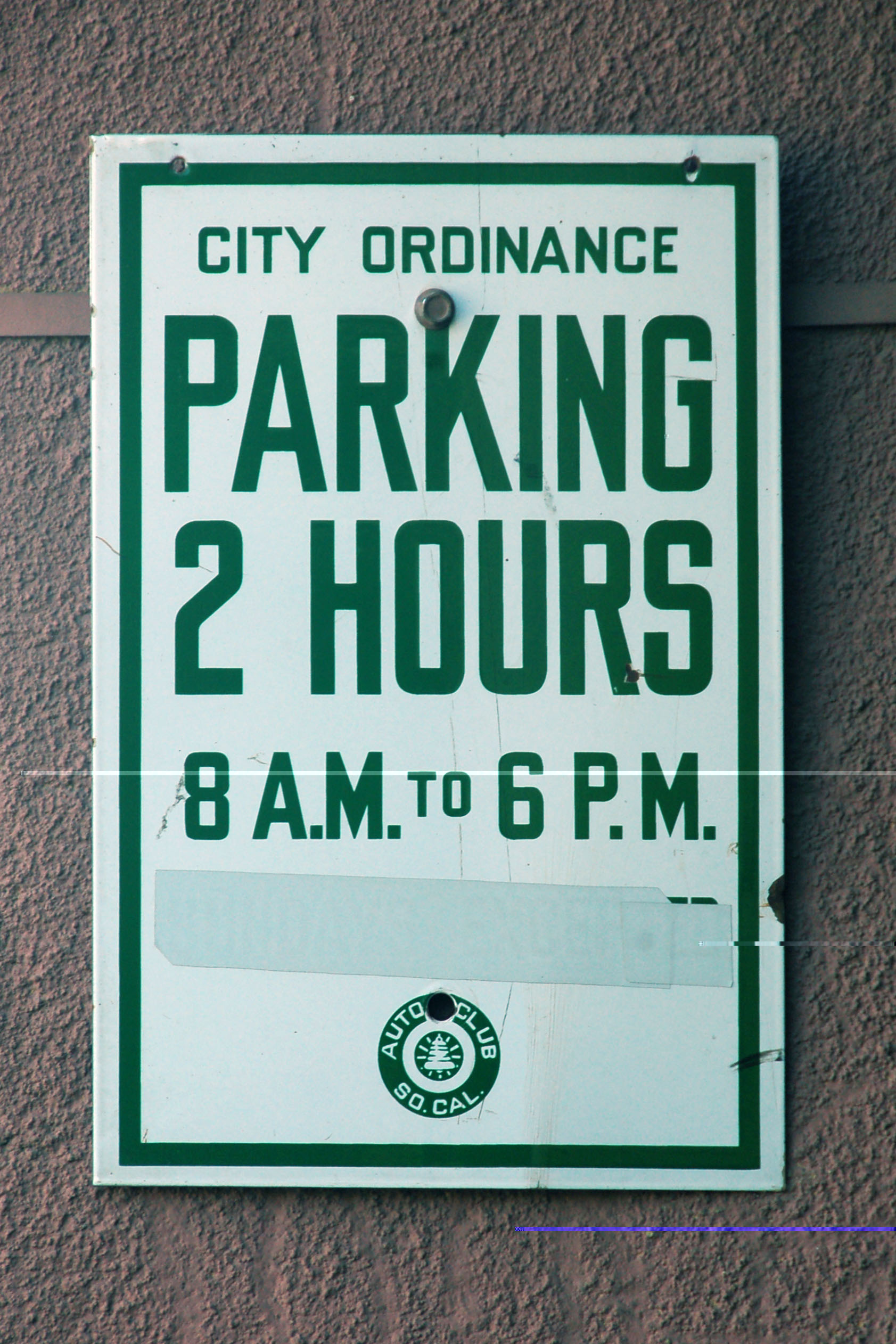
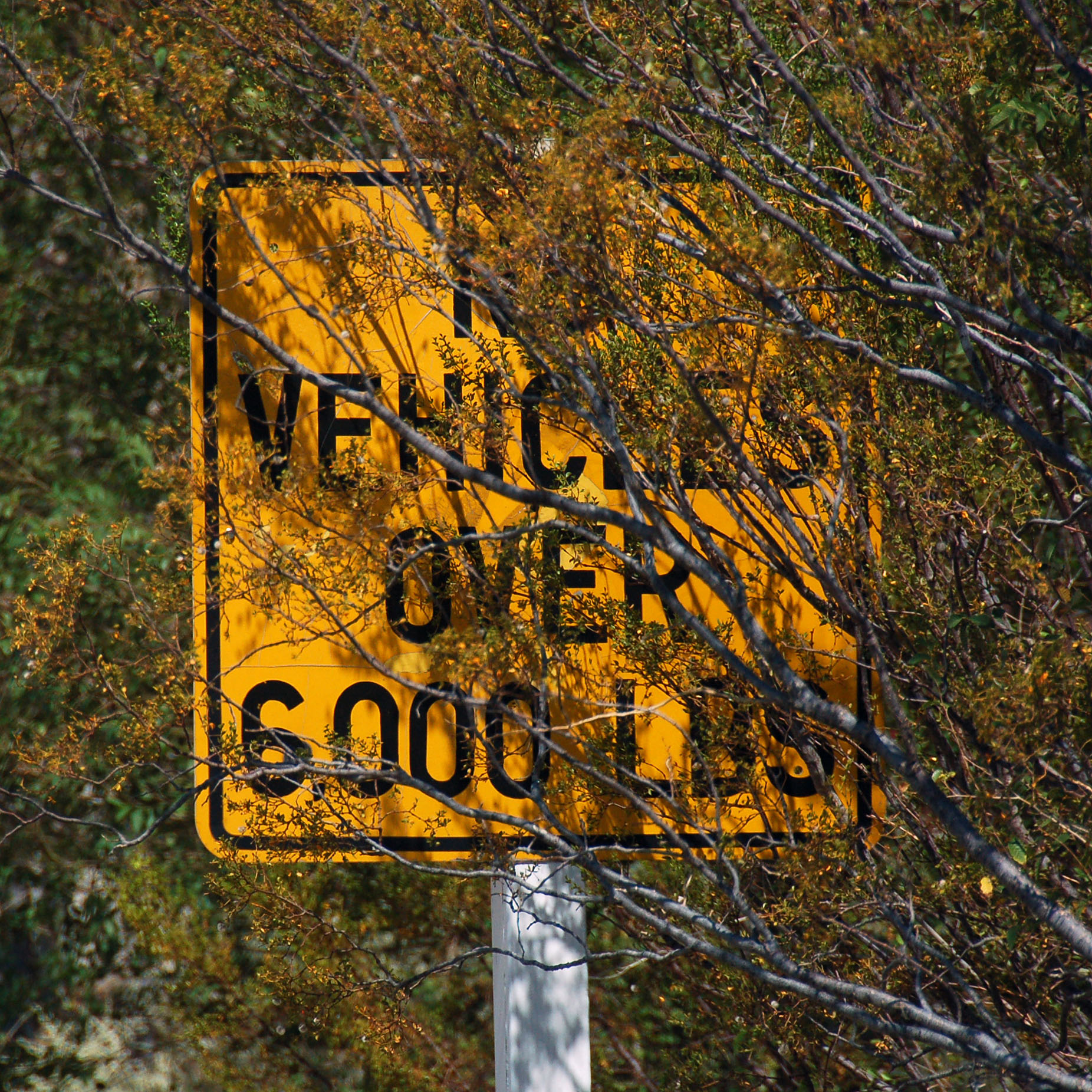
And now we’re in Yuma. Button copy is getting pretty hard to find in Arizona, especially the kind with the non-reflective background.
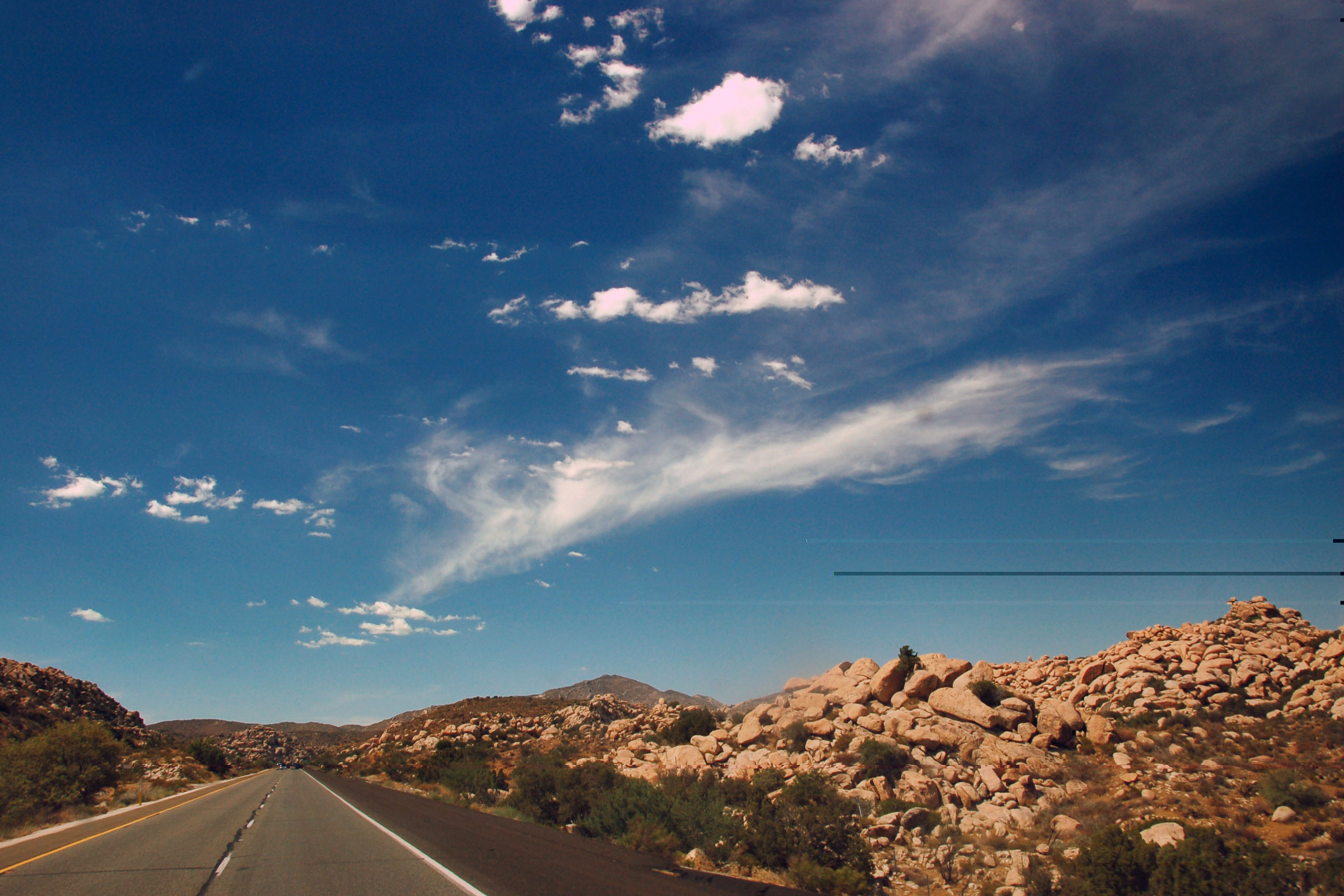
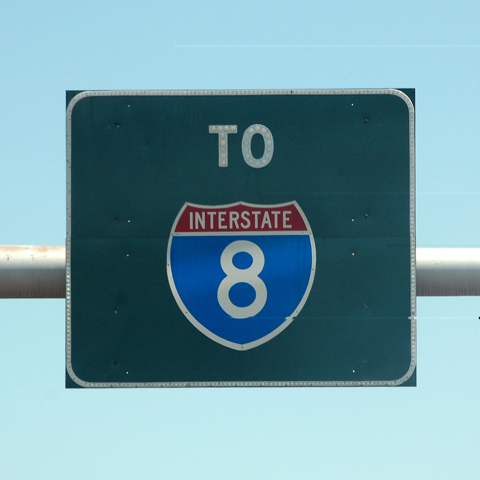
Heading westbound on I-8 in California, through the mountains that separate San Diego and Imperial counties.
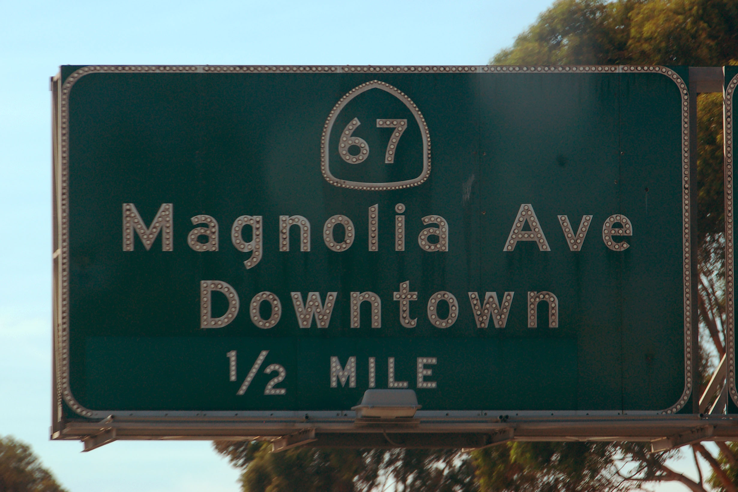
Classic porcelain signage in San Diego. This sign dates to 1968.
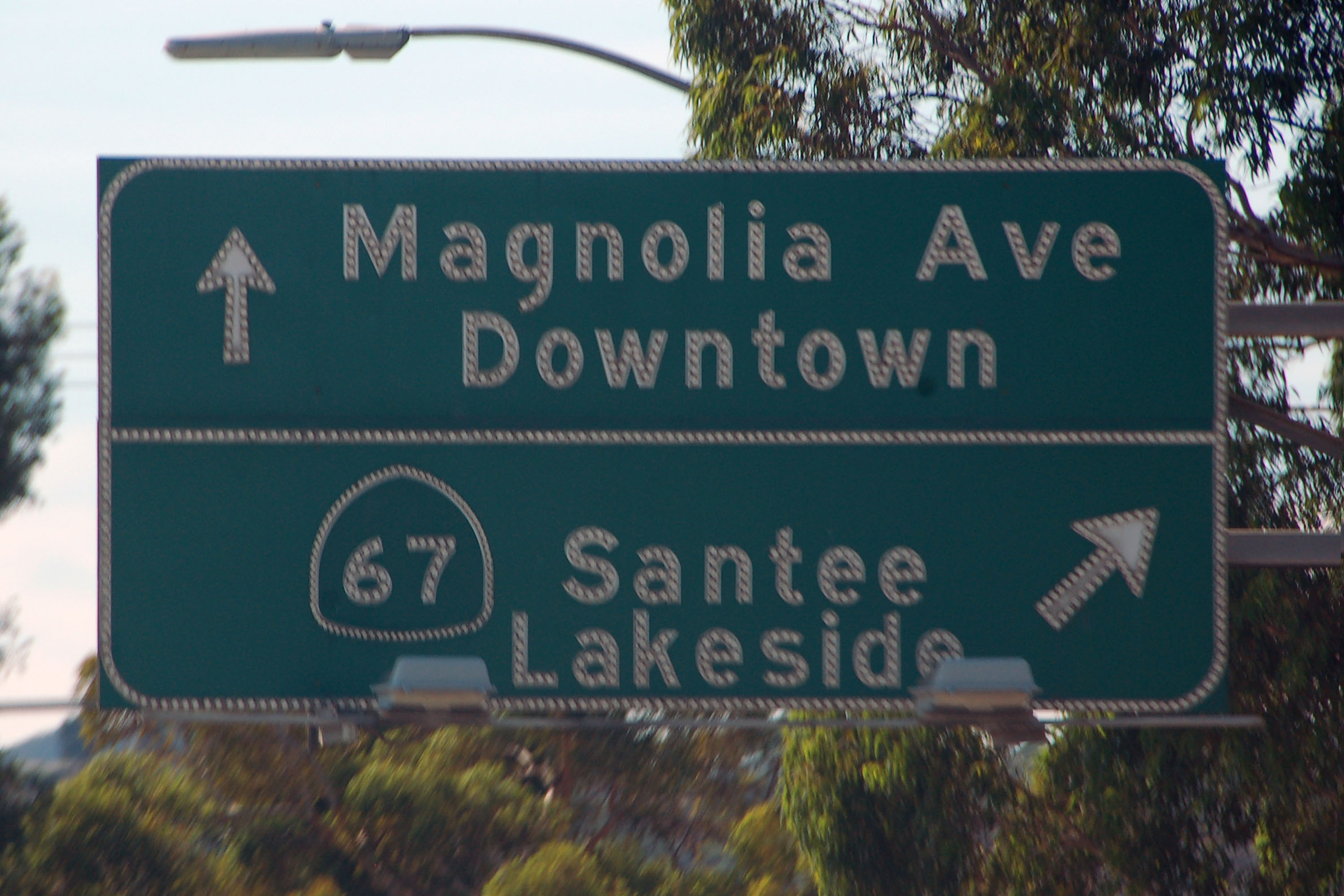
Odd transitional sign at the same intersection – this one is from 1973, when they stopped using porcelain, but had not started using pre-made button copy letters. Here, the buttons are glued onto white non-reflective letters on a green background. Shortly thereafter, they decided having the letters pre-made with reflectors was far more economical.
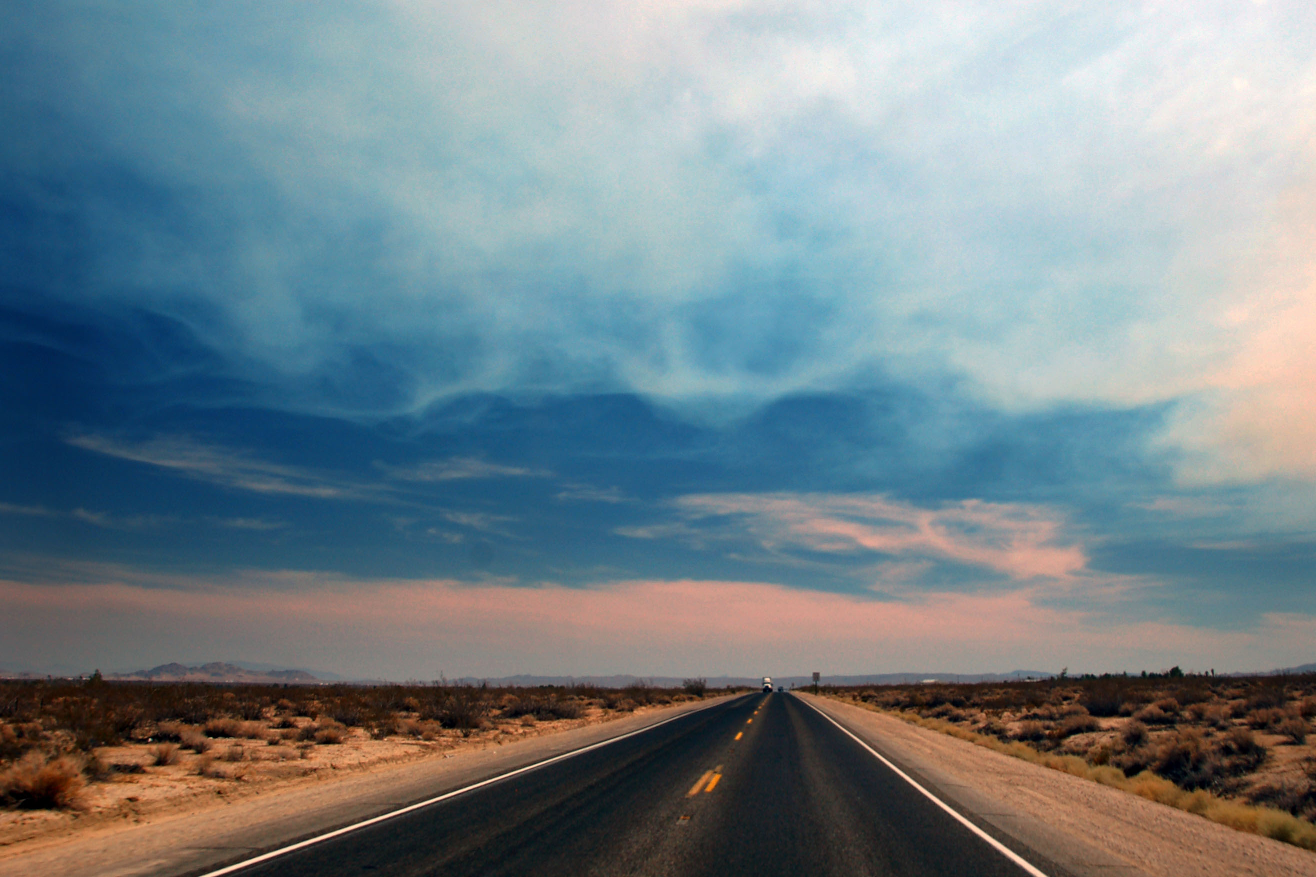
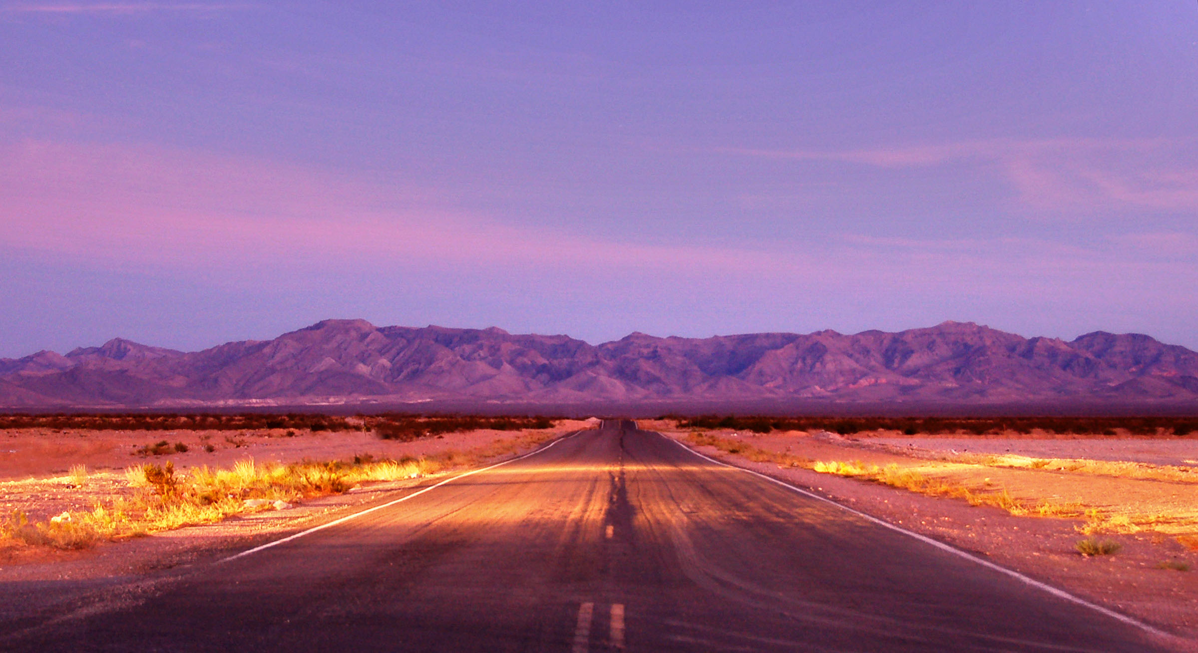
Ominous skies over US-395.
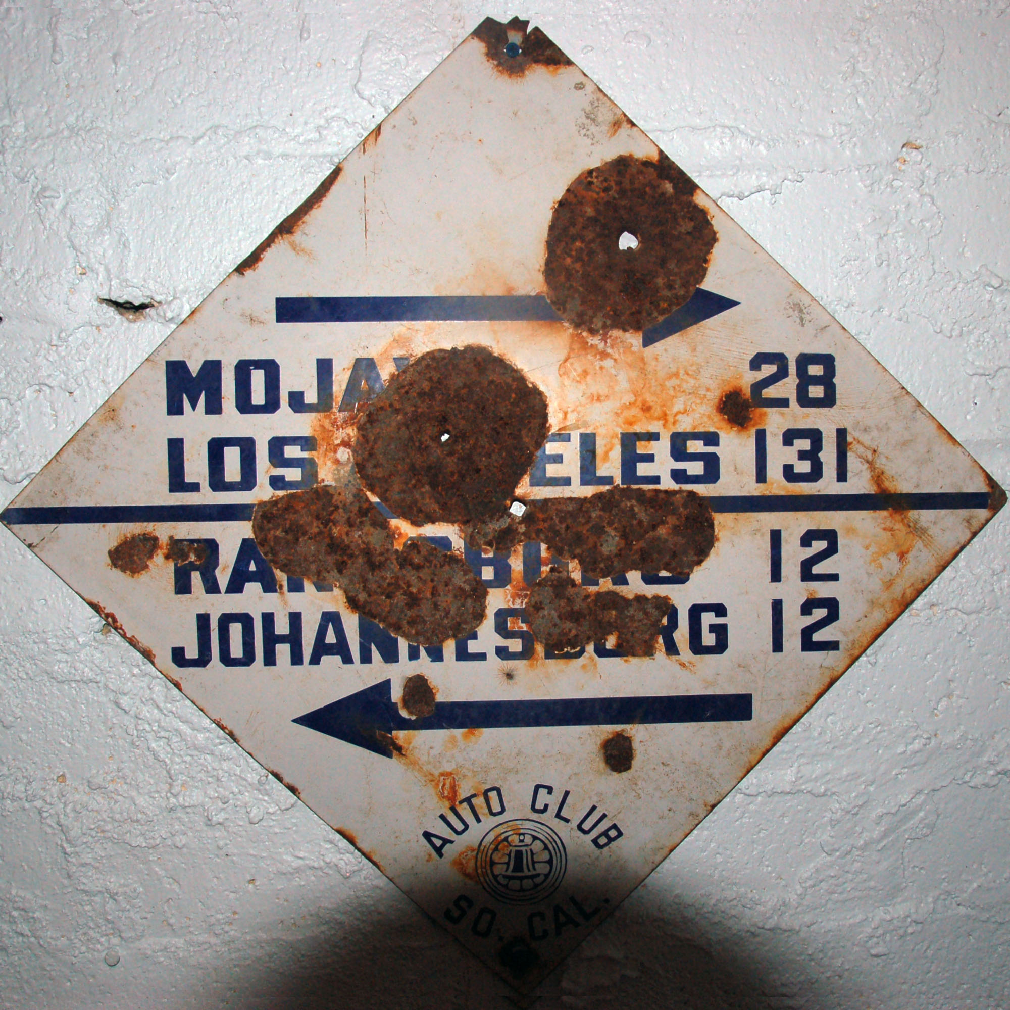
This sign is in a museum in Randsburg. It points down the US-6/395 multiplex, with Los Angeles being accessed by US-6. US-6 was truncated in 1964, so now the stretch of road is only US-395. Don’t mind the black spot at the bottom – the sign is hanging in a closet, and I stood about eight inches away and used the flash.
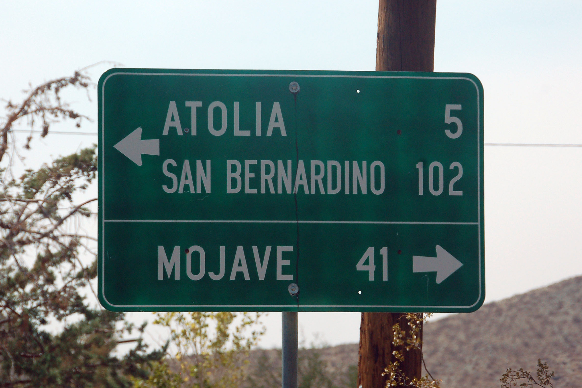
A near-exact copy of an old white auto club guide sign. The logo is missing, of course, and the sign is green reflective, and not white porcelain, and the original did not have a crossbar… but that font is classic 1938!
Another one – the colors are modern but the font is original. Someone must’ve gone through this area in the last few years and done an exact replacement, just as the contract stated.
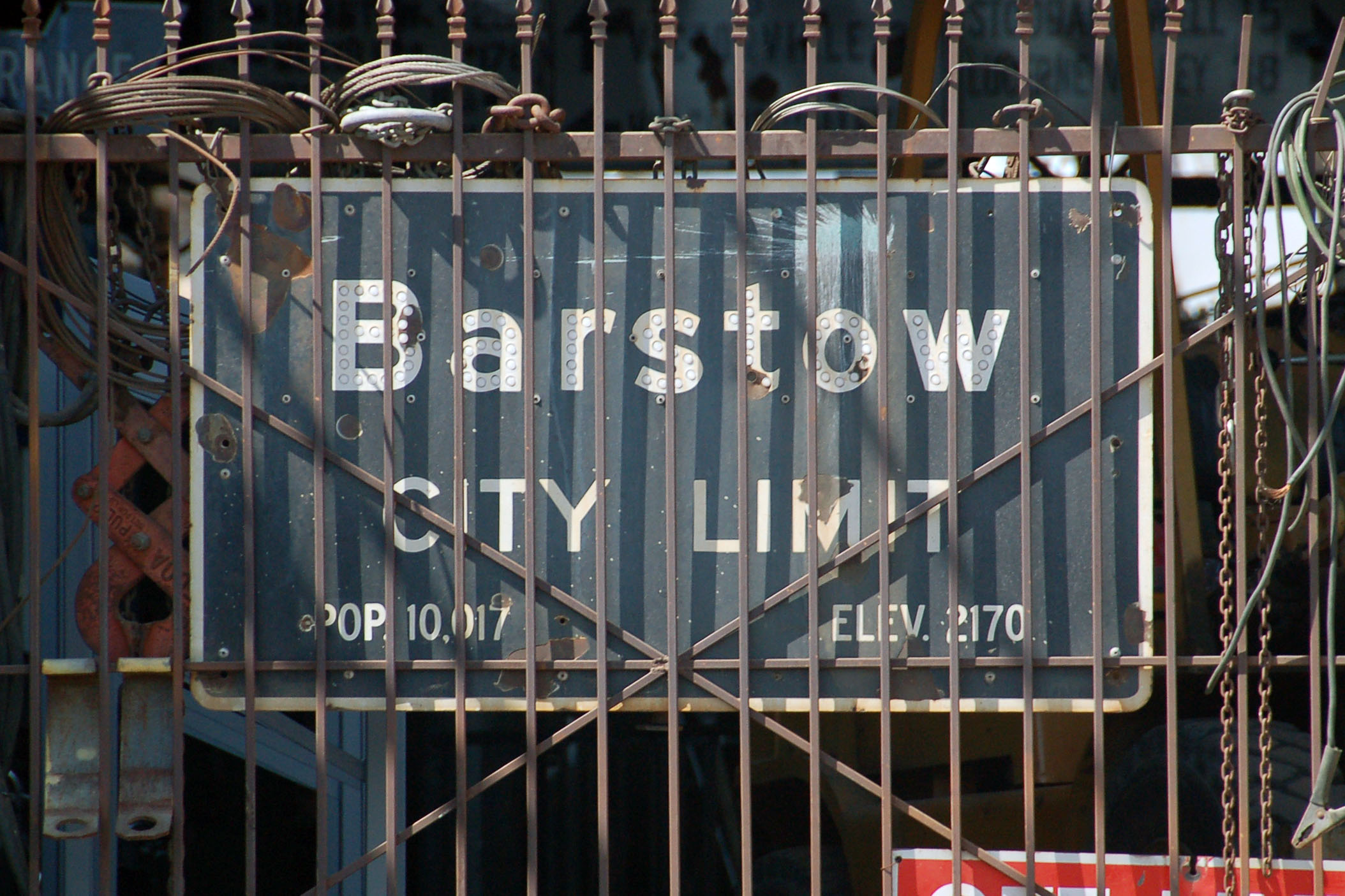
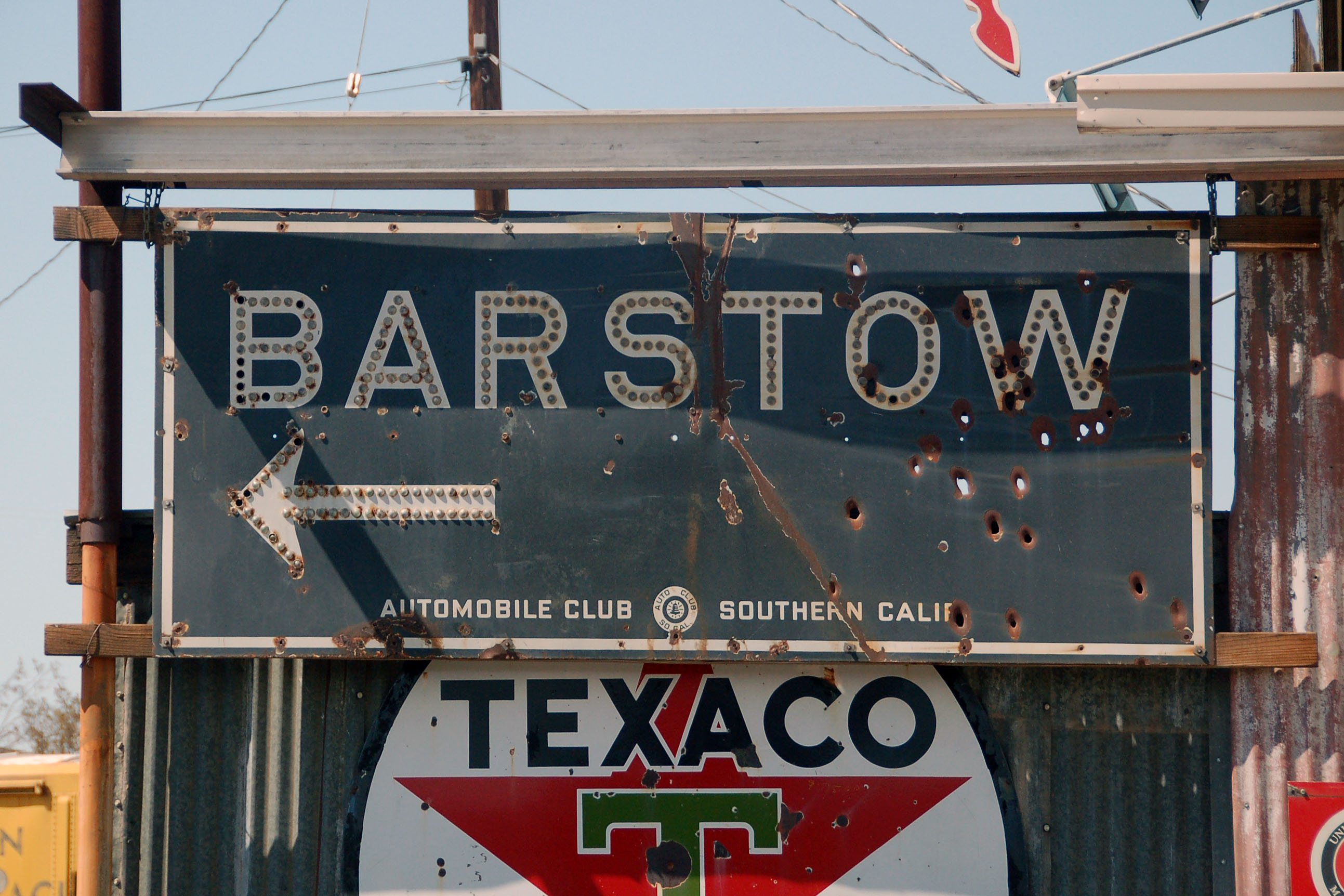
This is the style that succeeded the first Barstow picture: starting in 1948, with the plastic reflectors. This one does not have the Division of Highways logo, but is black, dating it 1957-59.
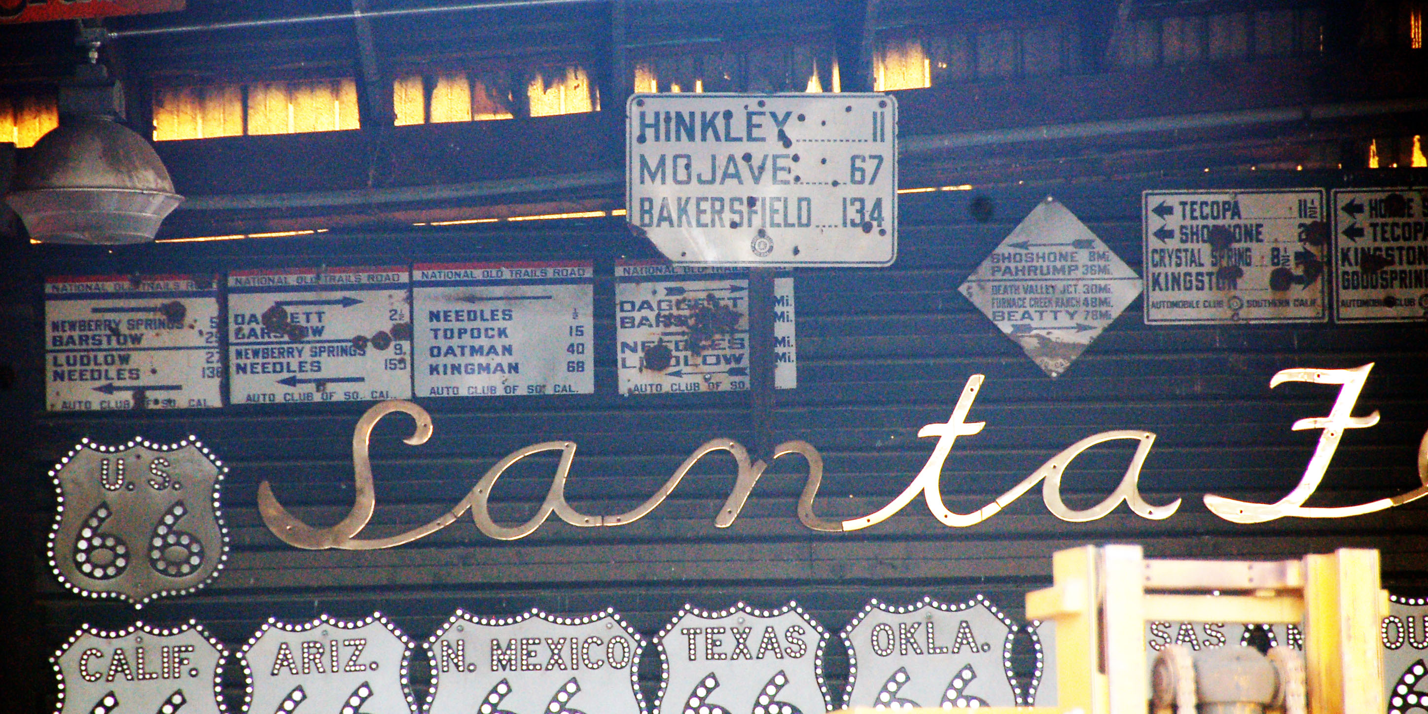
More of the same collection. The 66 shields are replicas, but the guide signs in the back – red, white, and blue; blue diamond; and white rectangle, are all original. Be sure to click for the high-resolution version. The owner was, alas, not home, so I could not get any closer photos.
One more from the same truck stop.
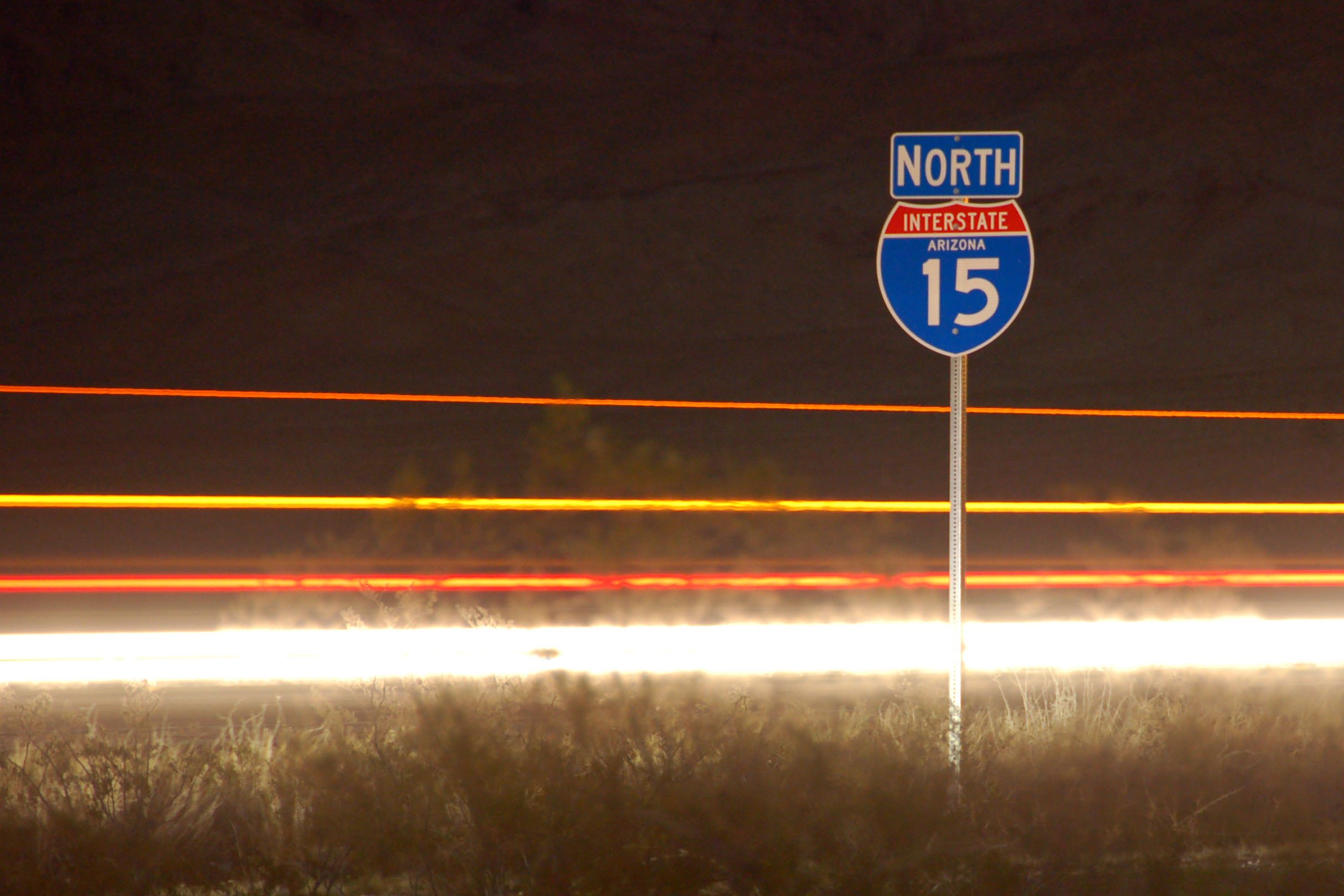
Interstate 15 barely cuts into Arizona between Las Vegas and St. George, Utah.
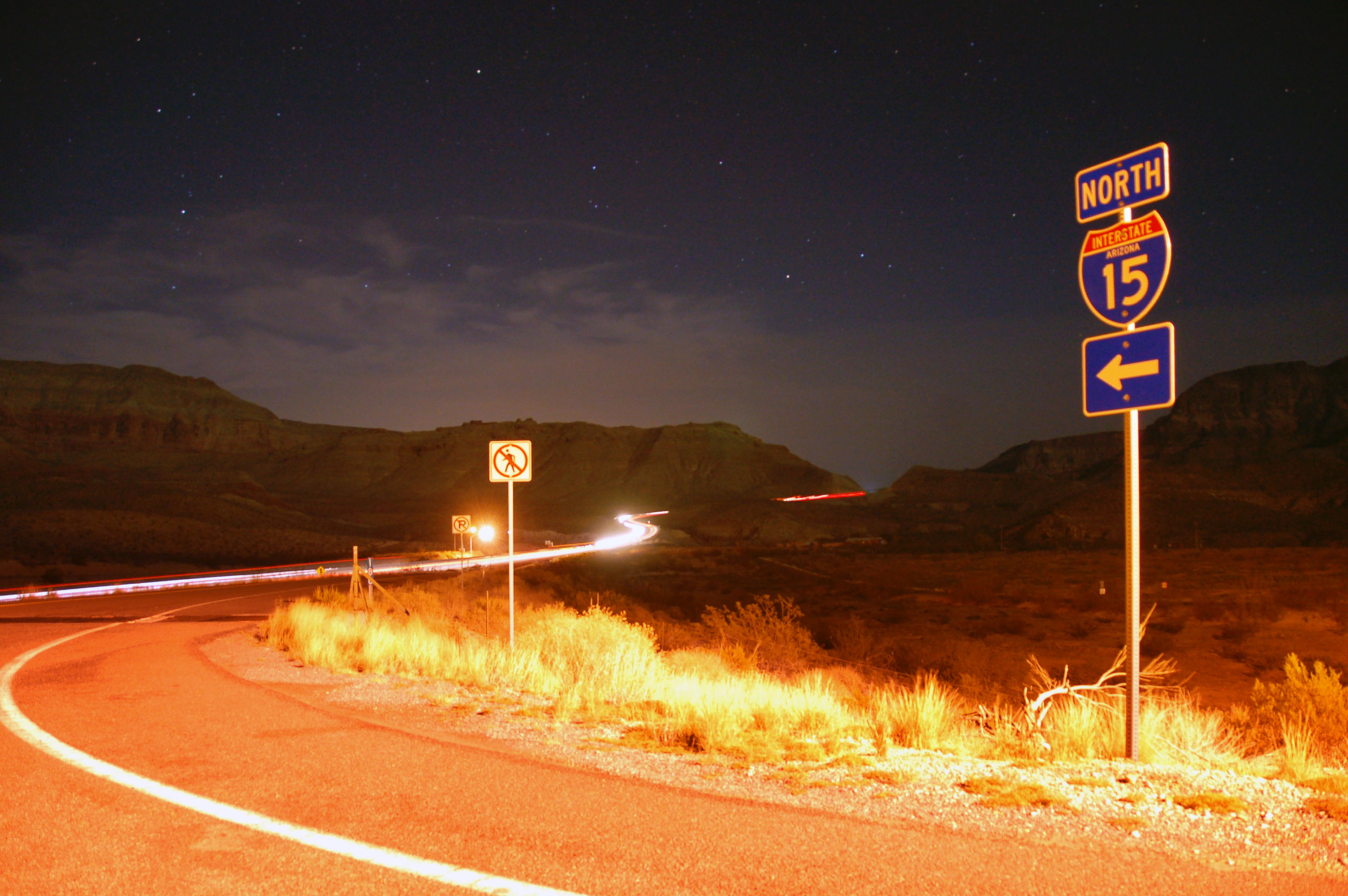
Approaching the Virgin River Gorge.
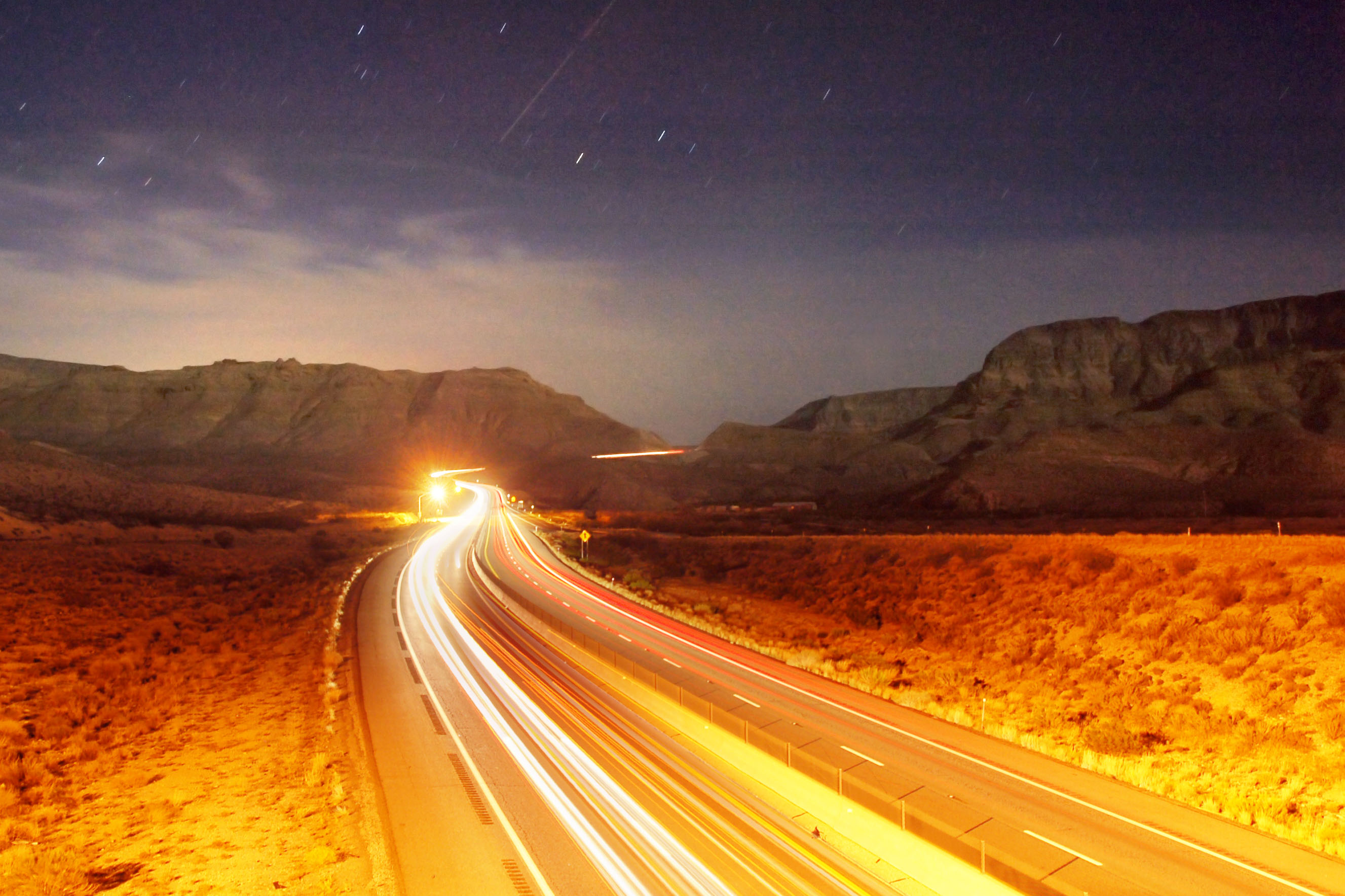
The view north through the gorge.
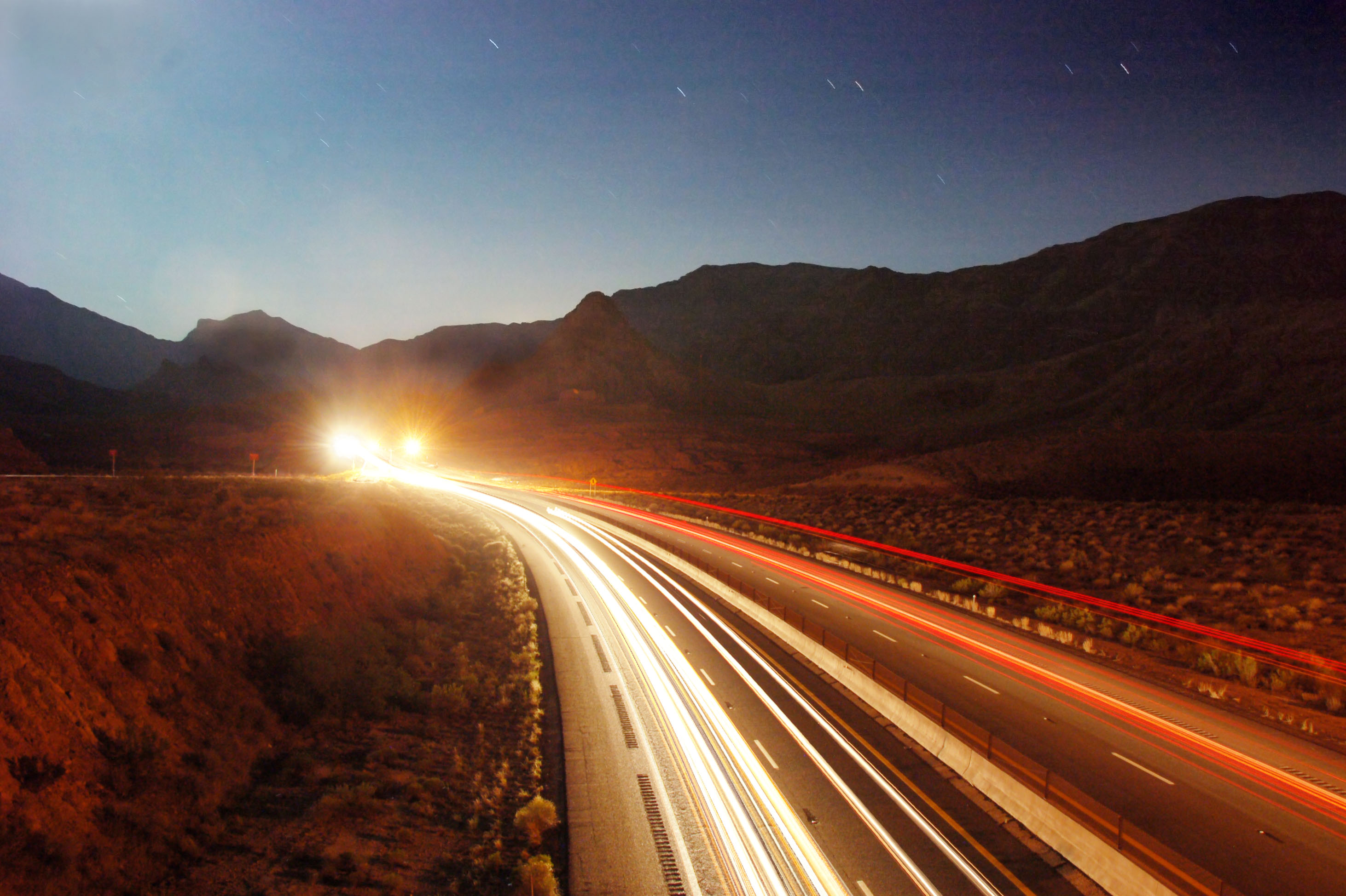
And the view south, from the same overpass.
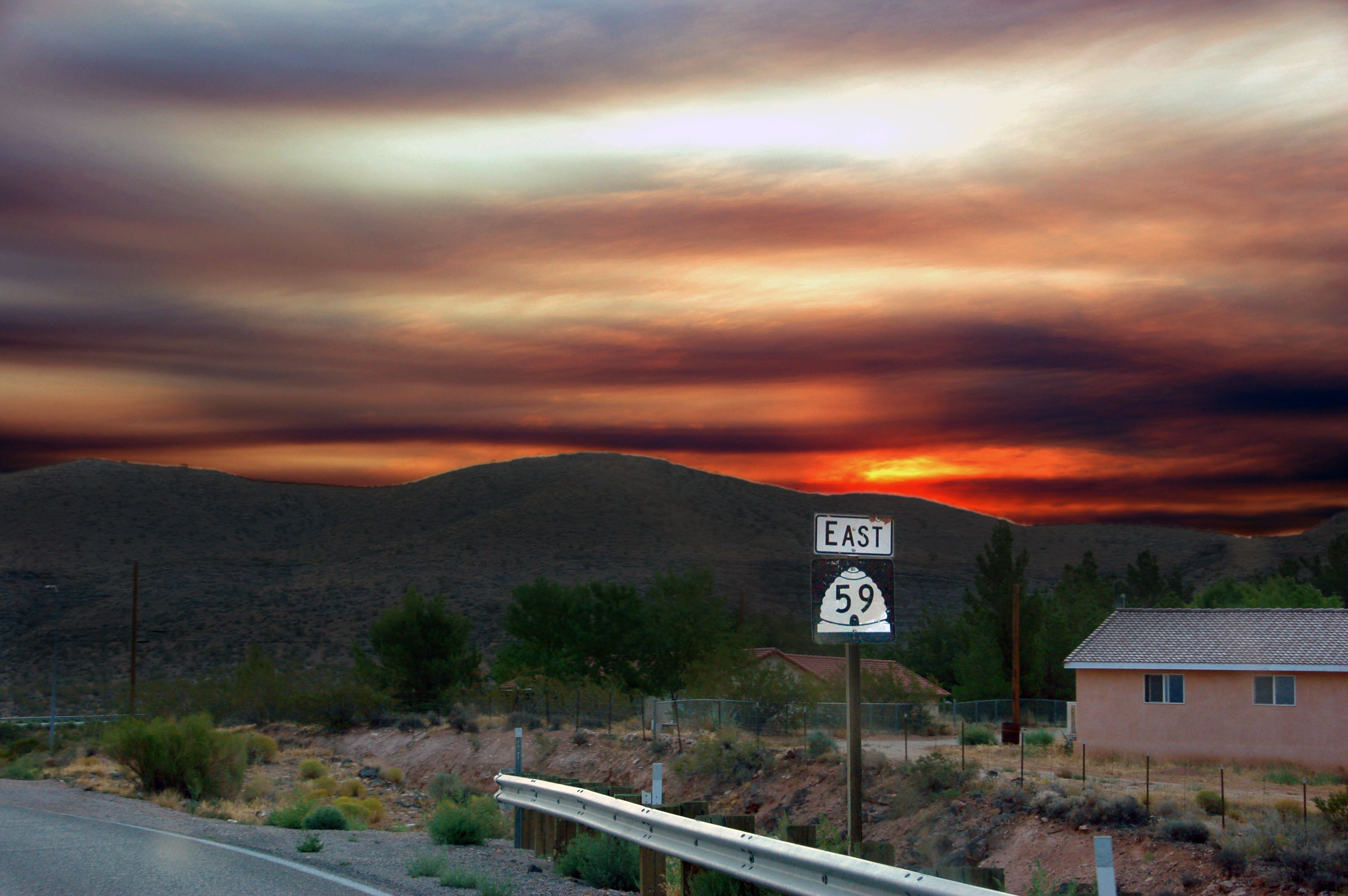
Highway 59 leads south into Arizona.
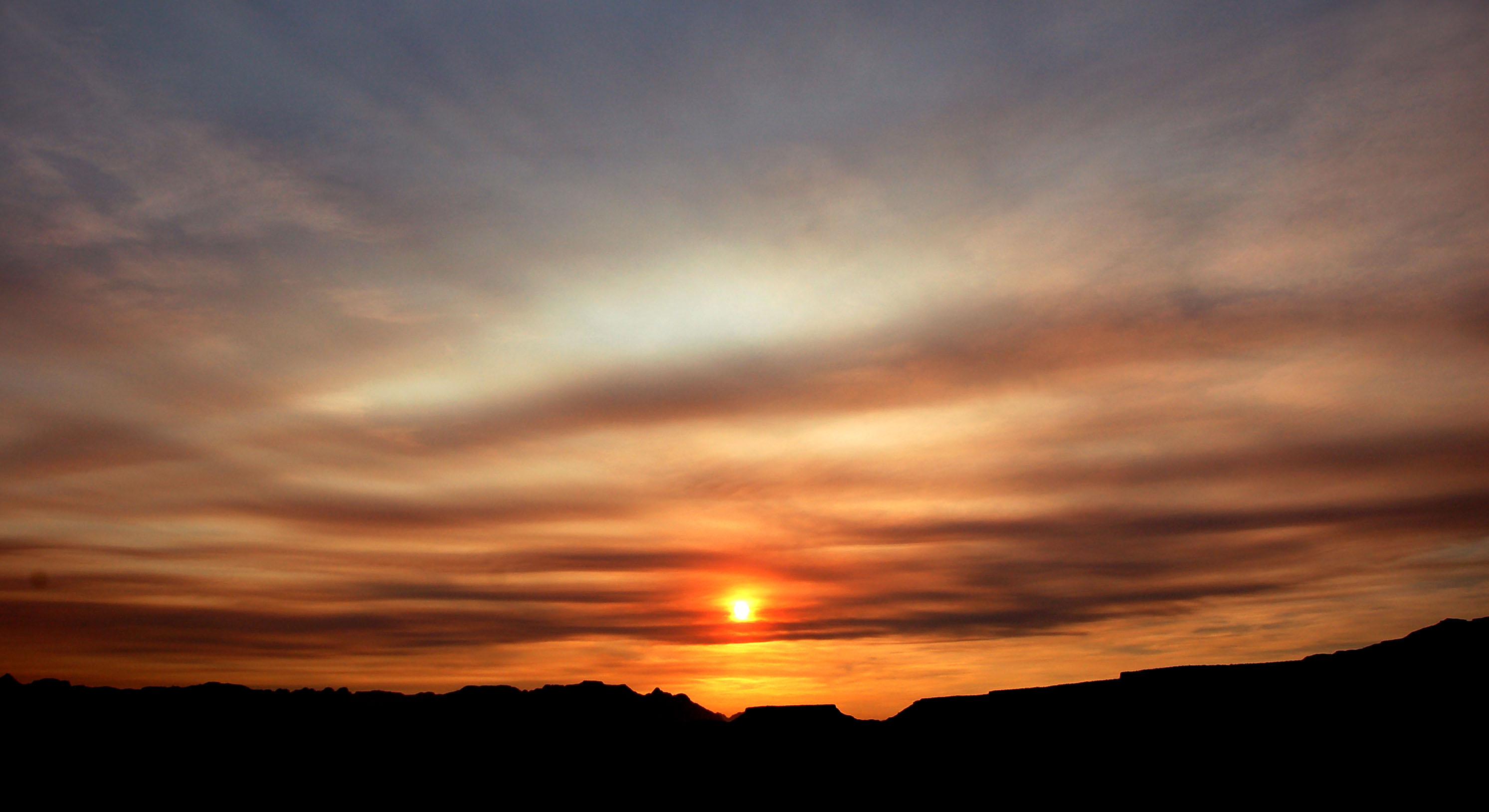
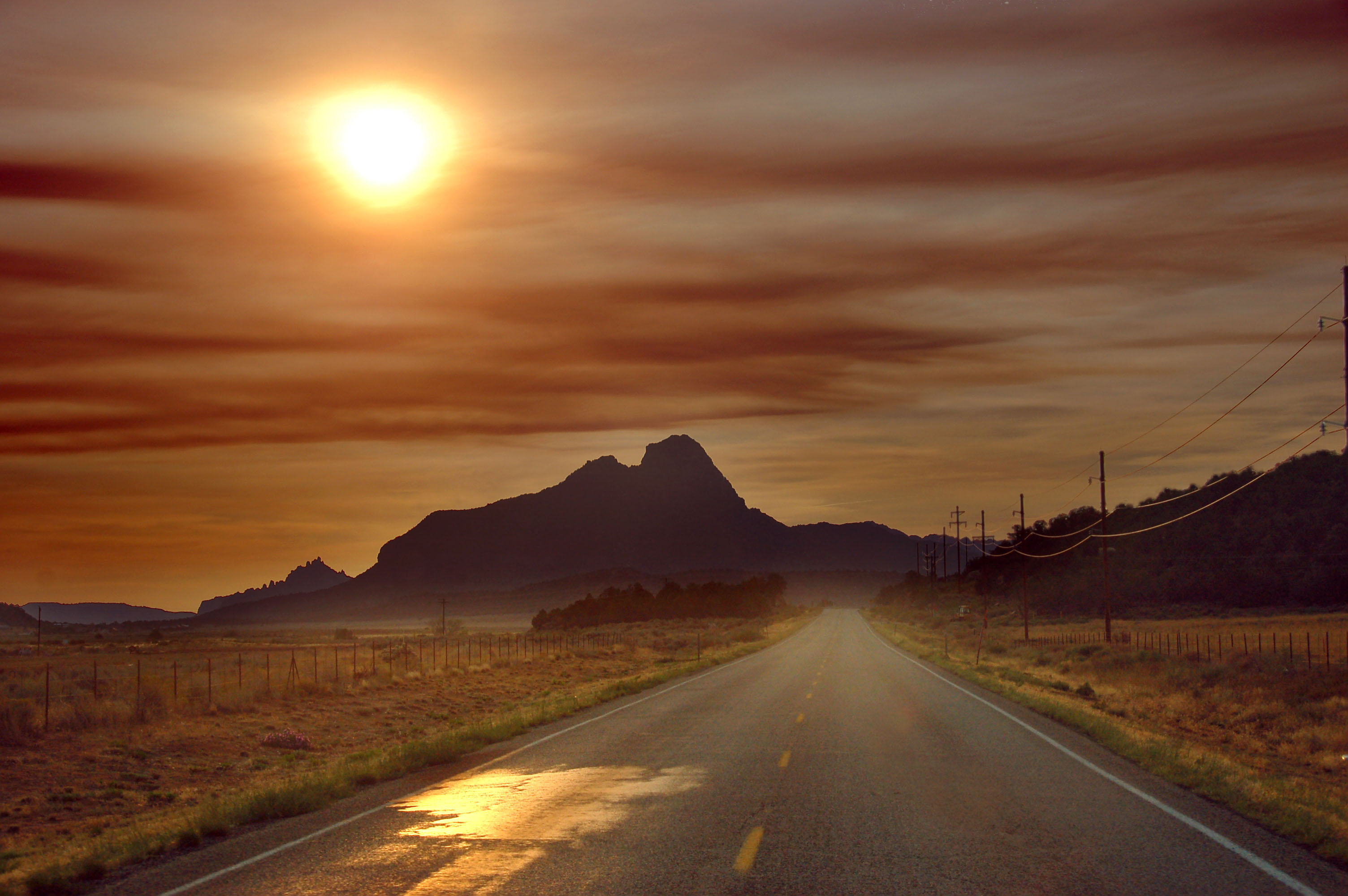
Sunrise with lots of smoke.
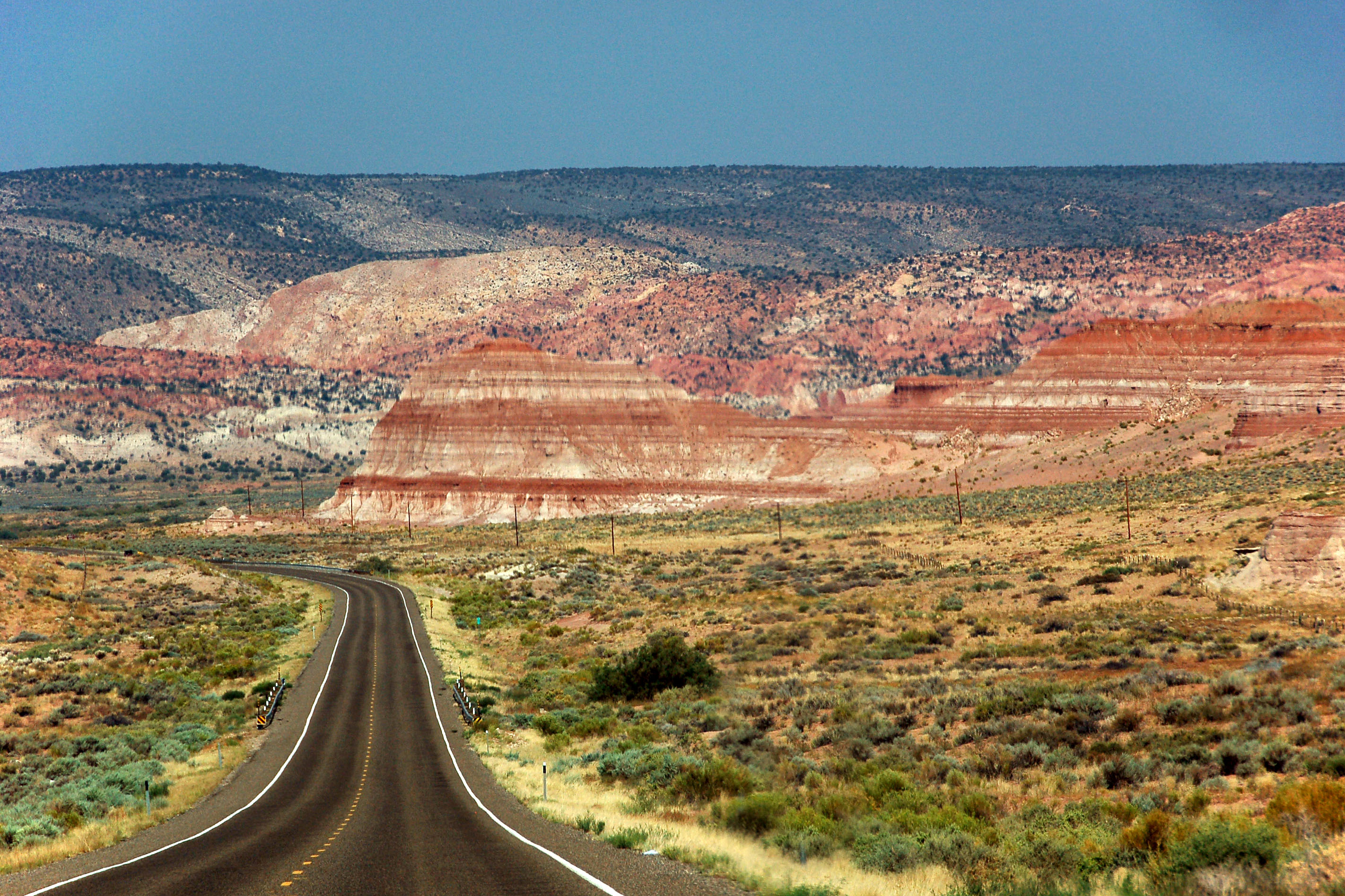
And now we’re in Arizona, looking back north into Utah.
Heading south (east, really) on US-89A and leaving the smoke behind.
Looking back west on 89A.
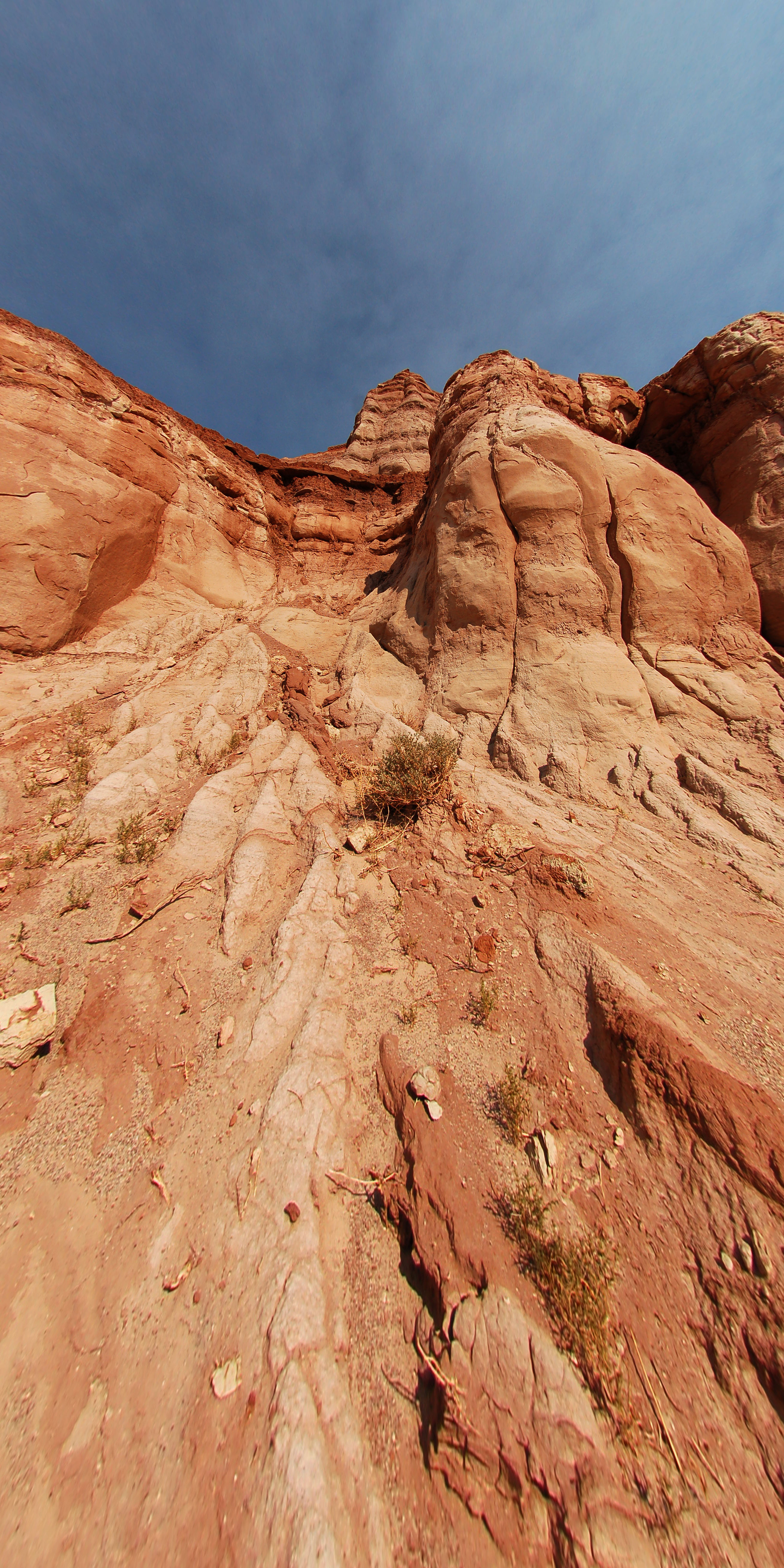
Stopping for a bit to get up close and personal with the red rocks. I took this photo with the fisheye and converted it back to rectilinear.
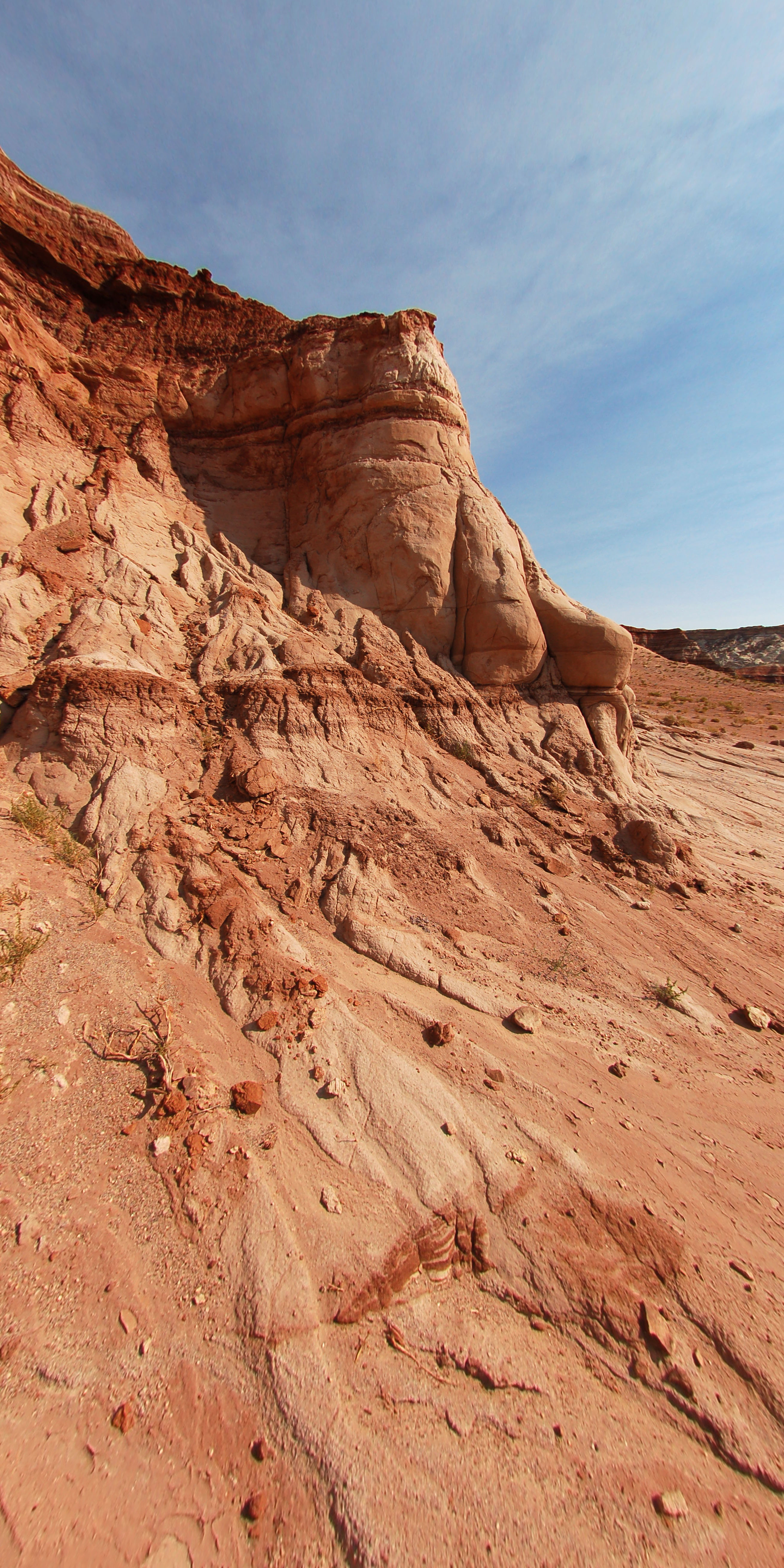
Another one; slightly different direction.
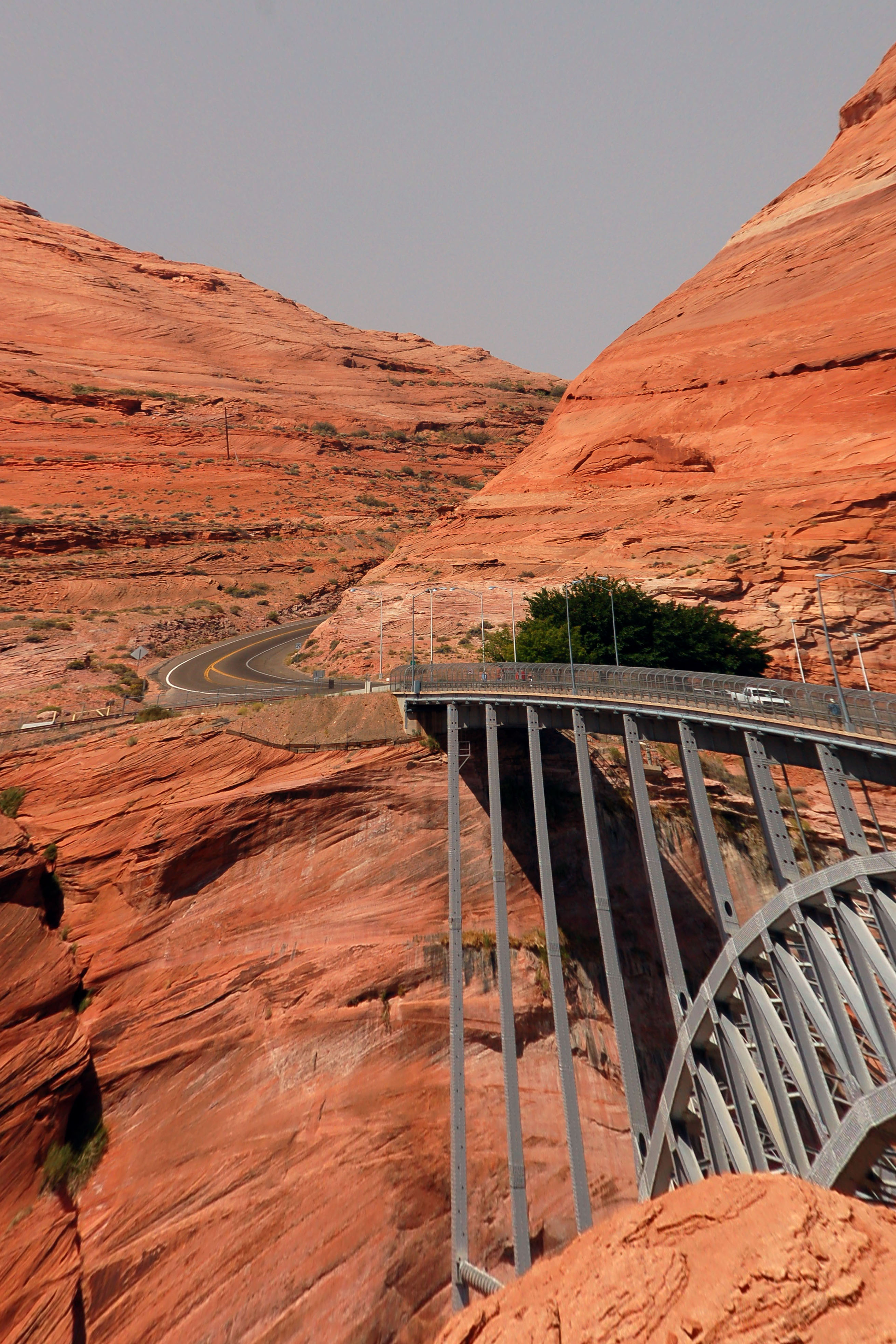
Crossing the Colorado River at Glen Canyon Dam, near Page. Somewhat disconcerting roller-coaster look achieved by running the de-fisheye converter on an image that was rectilinear to begin with.
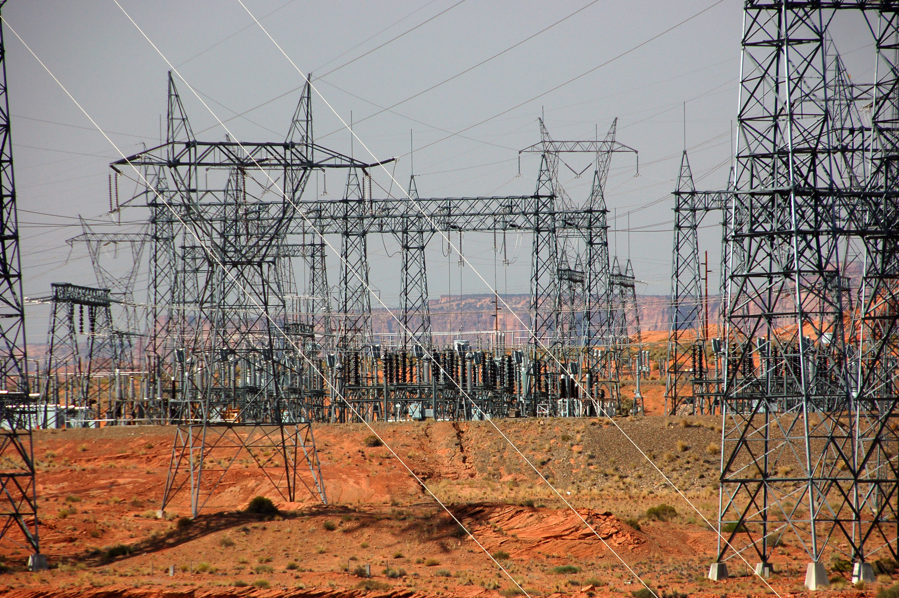
There’s a hydroelectric plant somewhere around here.
next up, actual Antelope Canyon


I always mean to tell you: You take such great pictures!
They make awesome desktops!
Although the 11th picture down had some weird lines on the full size…
You, sir, are one heck of a photographer.
I enjoyed the trip with you.
Great pictures- encore!
Greetings from Finland
You take awesome pics! Could I please use one of your road pics as a backdrop for my LinkedIn profile page?
With best wishes,
Jussi Mozo