
Peoria includes two Interstates, the main route through the city, I-74, and the bypass route, I-474. Lets take a look at the two and more…
Interstate 74 cuts a swath through the downtown area, meandering along a curved path from junction Interstate 474 & Illinois 6 northwest of the city to a brief depressed section of freeway near the central business district. A high-level cantilever bridge carries the freeway across the Illinois River into East Peoria. Once across, the road bisects hills on a southeastern trajectory to Interstate 474, Interstate 155, and Morton.

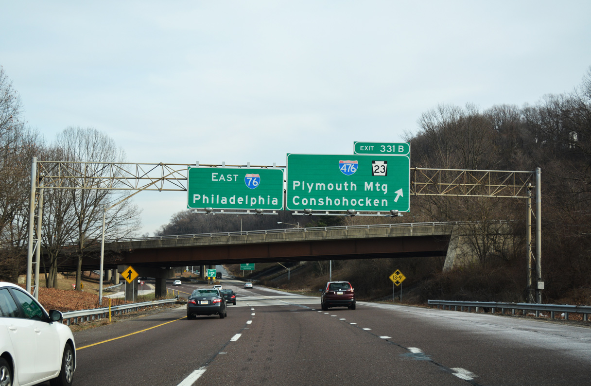
Interstate 74 descends toward the Perry Avenue under crossing through the eastern outskirts of downtown Peoria. U.S. 24 & Illinois 29 meet the freeway ahead.
Road work recently saw completion on a multi-year project to upgrade Interstate 74 through the Peoria metro area. Begun in 2002 with reconstruction of the North Street and Forrest Hill Bridges, work continued through Fall 2007.

Every bridge over Interstate 74 was reconstructed or replaced and now features ornamental columns. Pictured here is the Forest City Avenue overpass at the Gale Avenue (Exit 90) off-ramp of I-74 east.
Highlights of the near $500 million work included the construction of new ramps at Sterling Avenue, the raising of the Adams Street bridge over Interstate 74, rebuilding of both freeway carriageways, landscaping, and other improvements. Work affected 11 miles of roads, 32 bridges were either removed or replaced, 8 bridges were widened or reconstructed, and two tunnel ramp tunnels were built. Additionally the interchange with the Industrial Spur was reconstructed from a trumpet into a directional interchange near the east end of the Murray Baker Bridge.

Entering the directional interchange (Exit 94) with the Industrial Spur, a short freeway connector joining Interstate 74 with Washington Street (Illinois 40), Camp Street, and the Riverside Drive industrial area adjacent to the Murray Baker Bridge.

The Murray Baker Bridge carries Interstate 74 over the Illinois River, an important waterway linking the Mississippi River basin with Lake Michigan via a system of canals.
The bridge was repainted warm gray as part of the I-74 upgrade project in 2004 from its 1984 orange. Spanning the river at a distance of 3,247 feet, the bridge is 61 feet wide and 80 feet tall.
Interstate 474, the Ring Road, represents a 14.88-mile bypass of Peoria to the south and west of the city. Touted as the through route around Peoria, the freeway carries four overall lanes and crosses the Illinois River along a cantilever span. Illinois 6 spurs north from the Interstate 474 west end at Interstate 74 to Illinois 29 at Mossville and represents the northwest quadrant of the planned full Ring Road.

The Shade Lohmann Bridge carries Interstate 474 over the Illinois River between Bartonville and Creve Coeur.
Colored blue, the Shade Lohmann Bridge was built between 1973 and 1975 at a length of 3,421 and 3,425 feet per span. Each span is 39 feet in width, traveling a height of 65 feet above the river below. The bridges were rehabilitated in 2002 and are named after J. Normal Shade, Pekin mayor between 1942 and 1945, and Martin B. Lohmann, a former state congressman between 1923 and 1953.

A half-used trumpet interchange joins the premature end of Illinois 6 with adjacent Illinois 29 and Peoria County R59 to the east. A pair of signs reside beyond the barrier displaying “Dead End” and “Road Ends 500 Feet”.

Empty sign brackets hang above the unopened northbound on-ramp to Illinois 6. A northbound ramp may ultimately join Illinois 6 with an upgraded Illinois 29.
A 2005 plan that is receiving new interest from the Pekin Area Chamber of Commerce would extend Illinois 6 east and south to Interstate 474, thus completing the Ring Road. The cost estimate is $800 million and a corridor study underway may be completed by winter 2009.
Another touted plan is the Peoria to Chicago freeway concept that would extend Illinois 6 north to Interstate 180 to provide an alternate of Interstate 74 east to Interstate 55 at Bloomington. One plan involves the widening of Illinois 29 to expressway standards with a 65 mph design speed in conjunction with bypasses of Chillicothe and Henry. Approval of that plan is anticipated sometime in 2008. A second proposal involves the building of a diagonal Interstate connection along an unknown corridor steming northeast from the planned northeast quadrant of the Ring Road.
A third road project in development is the extension of Illinois 336 northeast from the Quincy area to Peoria with expressway standards. The connection in conjunction with Illinois 6 and the Illinois 29 upgrade project is expected to enhance Peoria’s position with the market between Canada and Mexico. Extension of Illinois 336 northward is estimated to cost $700 million. An alternatives map can be viewed here http://www.dot.il.gov/desenv/il336impact/x02_02.pdf; a map of the overall corridor between Interstate 172 and Peoria is found here http://www.dot.il.gov/desenv/il336impact/x01_02.pdf.
Illinois has the third most Interstate miles behind Texas and California and the third most number of Interstates behind New York and California.
Sources:
- Upgrade 74: Upgrade 74 – Illinois Department of Transportation.
http://www.upgrade74.com/ - Shade-Lohmann Bridge, Creve Coeur, IL, John A Weeks III.
- SAFETEA LU legislation from 2005 (bill number HR 3) for the $2.4 million for land acquisition and study
http://www.bts.gov/laws_and_regulations/docs/safetealu/safetealu_bill.html - Regional Chamber Transportation Issues,
http://www.pekin.net/Transportation.htmPekin Area Chamber of Commerce.


I-74 looks very good in the downtown area. The upgrades make the interstate look modern, and puts in a “higher class” over many interstates that have not been reconstructed.