
We pick up in Colorado, December 2007 – where a snowstorm has just subsided, and we thus prepare to cross the Rockies, crossing our fingers hoping that it does not pick up again and render unto us blinding whiteout conditions.
Of course, it does.
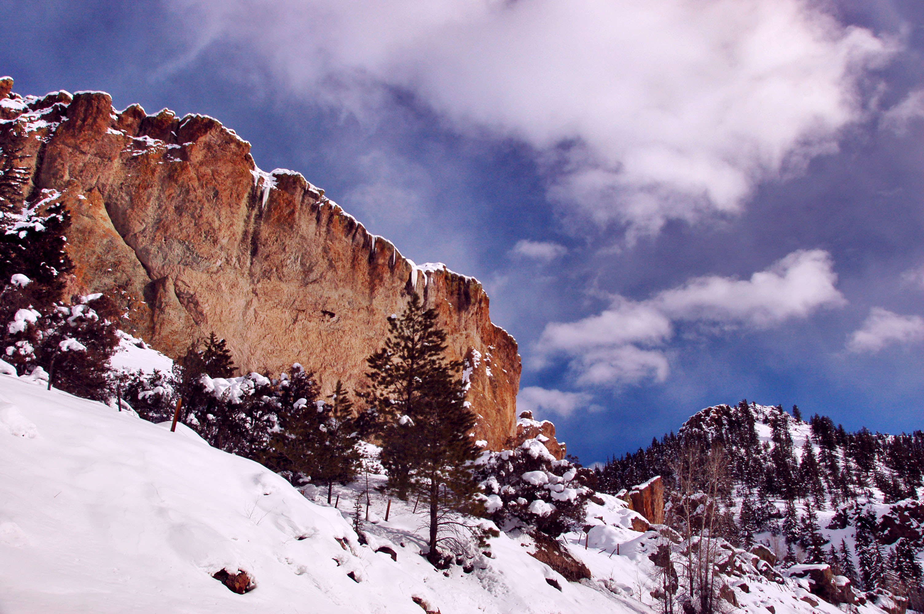
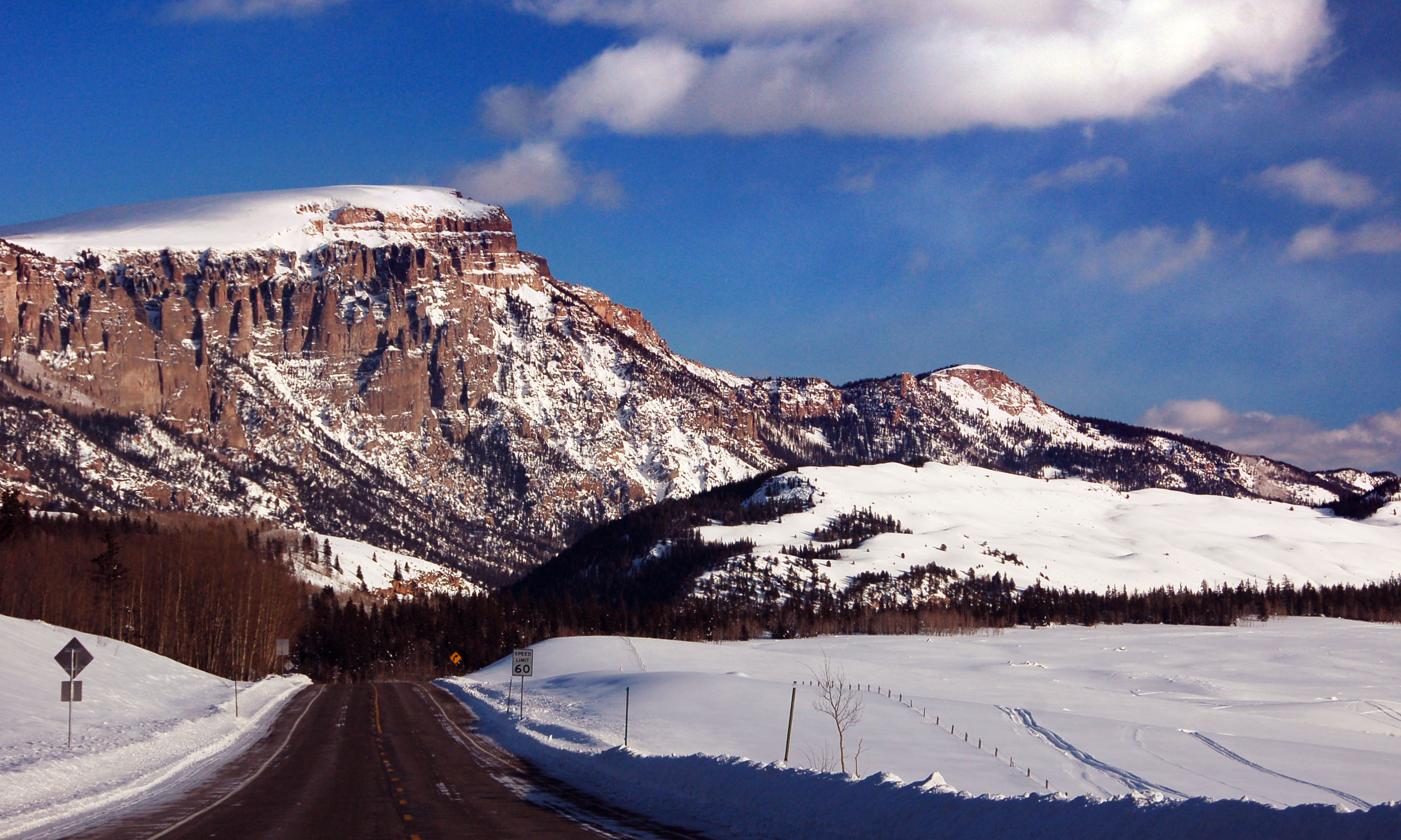
Red rocks in winter. Colorado state highway 149 – just barely on the western side of the Rockies, after we cross on US-50 across Monarch Pass.

This deer is about to eat me, I am sure.
Ouray, Colorado. Looking back (south) at Red Mountain Pass that we have just crossed, on US-550 coming from Silverton. The Million Dollar Highway was built in 1913, and scarcely improved since then. Yes, there is still a sheer wall to one side, and a sheer drop to the other.
After a successful crossing – 3mph down the hill through a whiteout blizzard – I set up my tripod in the middle of the road, and while I was taking a 90 second exposure, a deer walked about two feet behind me!

Odd little white guide sign referencing Colorado state route 43, and US-285. Well, not all that odd if you consider Colorado’s sign design practices of the 1950s… but this is clearly a replacement. The original sign was about twice this big, and had shields.

Old embossed Park County route 22 shield. The round fonts and the embossing date this one back to the 1940s.

Lenticular cloud over the mountains.
Mountains. And snowbanks.
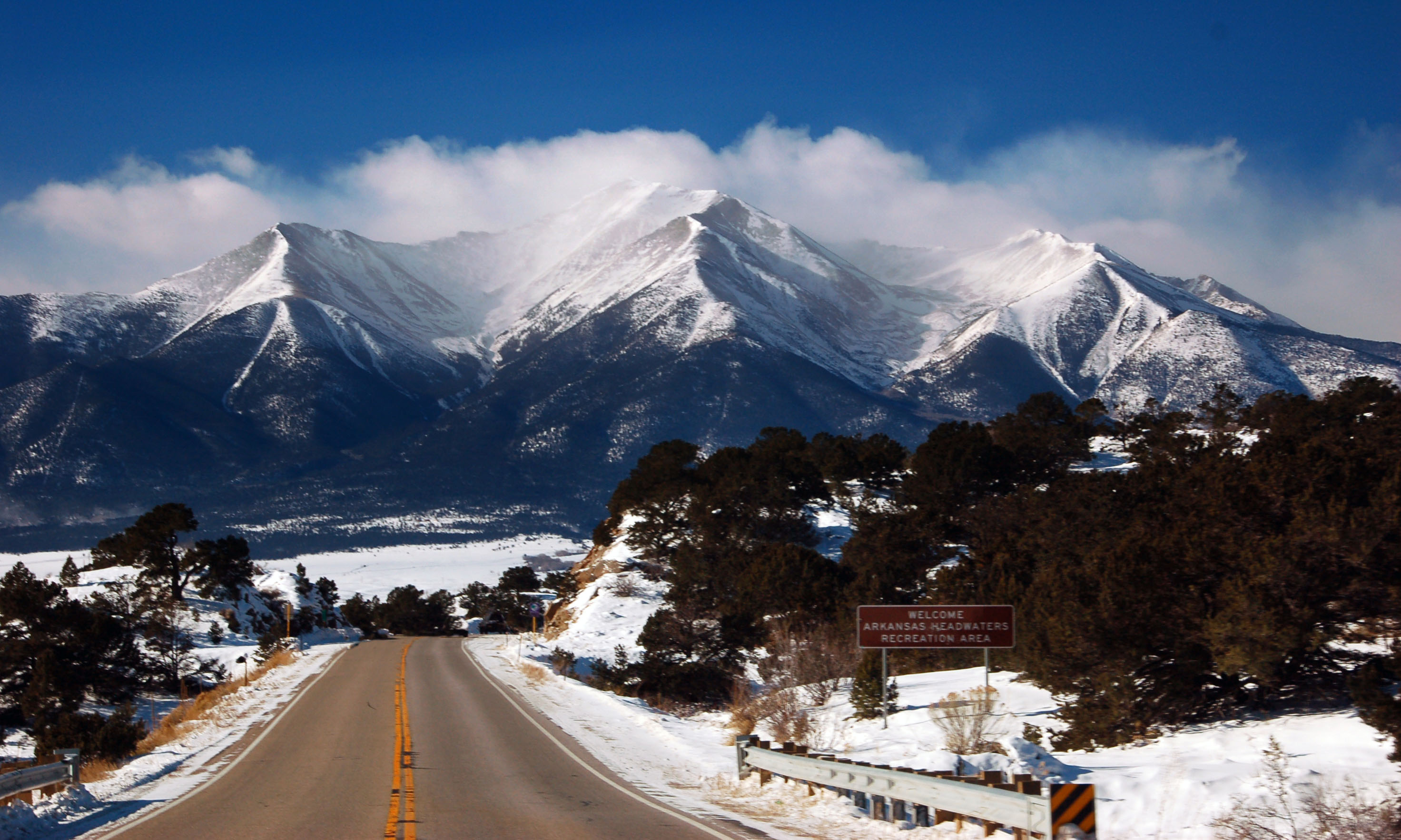
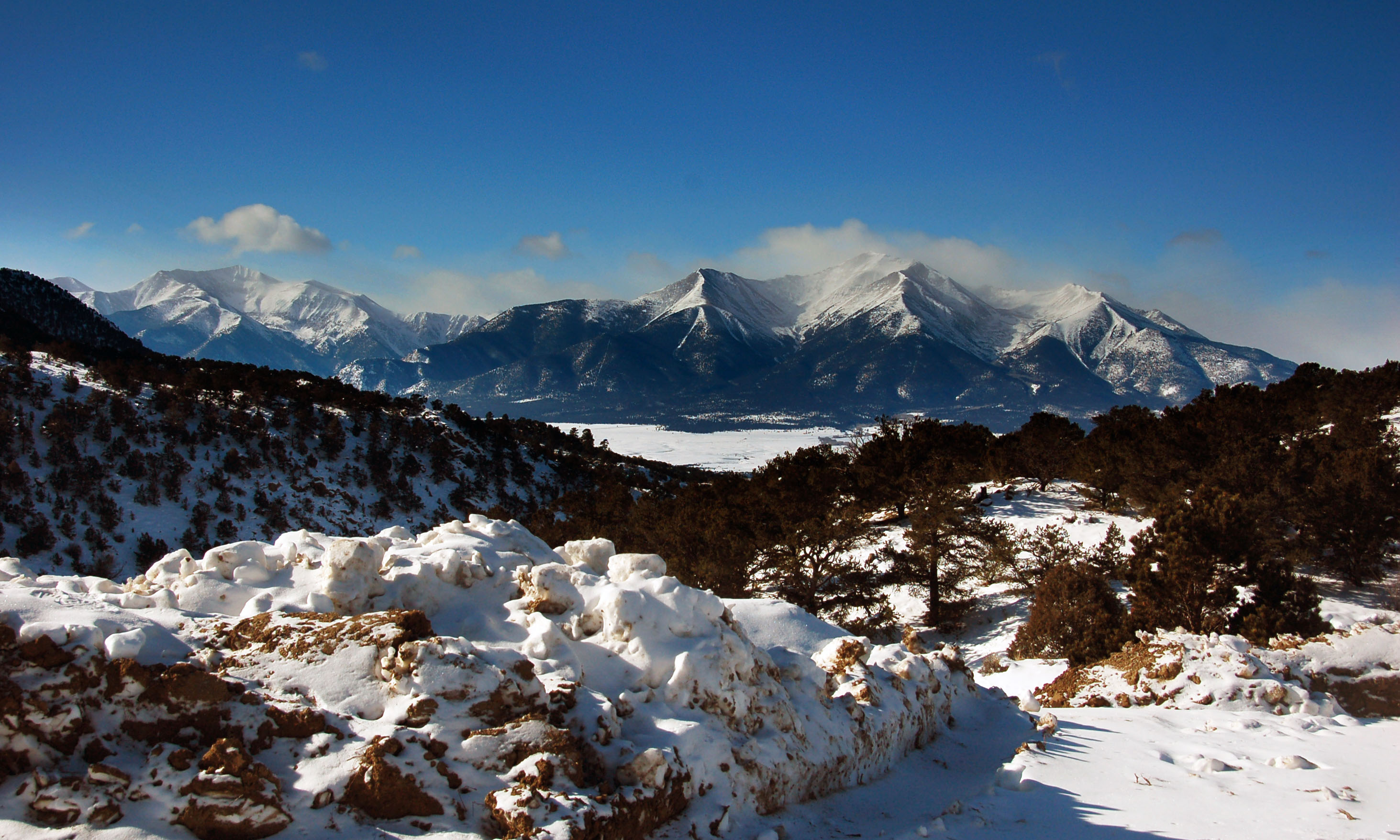
Headwaters of the Arkansas River – three peaks in a line visible as we head south on US-285.

US 50 across Monarch Pass. 11300 feet, in the dead of winter.

Just past Monarch Pass in Colorado. Still at about 10500 feet or so elevation.

More US-50.

I know you’re in there!
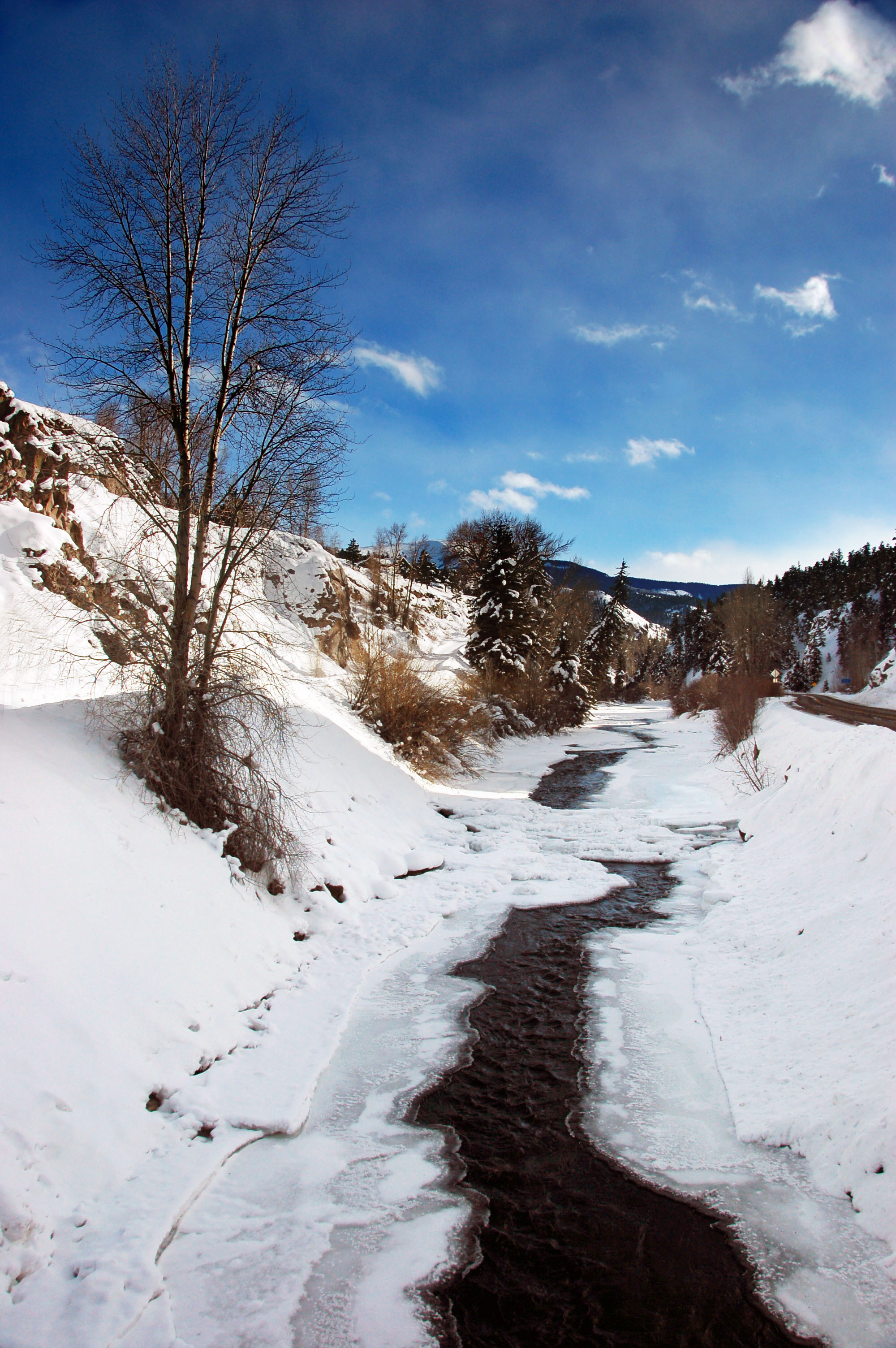
More of state highway 149. Well, okay, this isn’t quite it – this is the river that runs alongside of it: the Rio Grande.

Deer with Hitler moustaches.

Looking back across the Rockies.
And crossing the Rockies again. Yep, we just went across the Continental Divide on state highway 149. We’ll have to cross again on US-160.

Giant Phalli of the Rockies.

A tunnel – we’ve hit US-160.

Getting to dusk now on US-160.

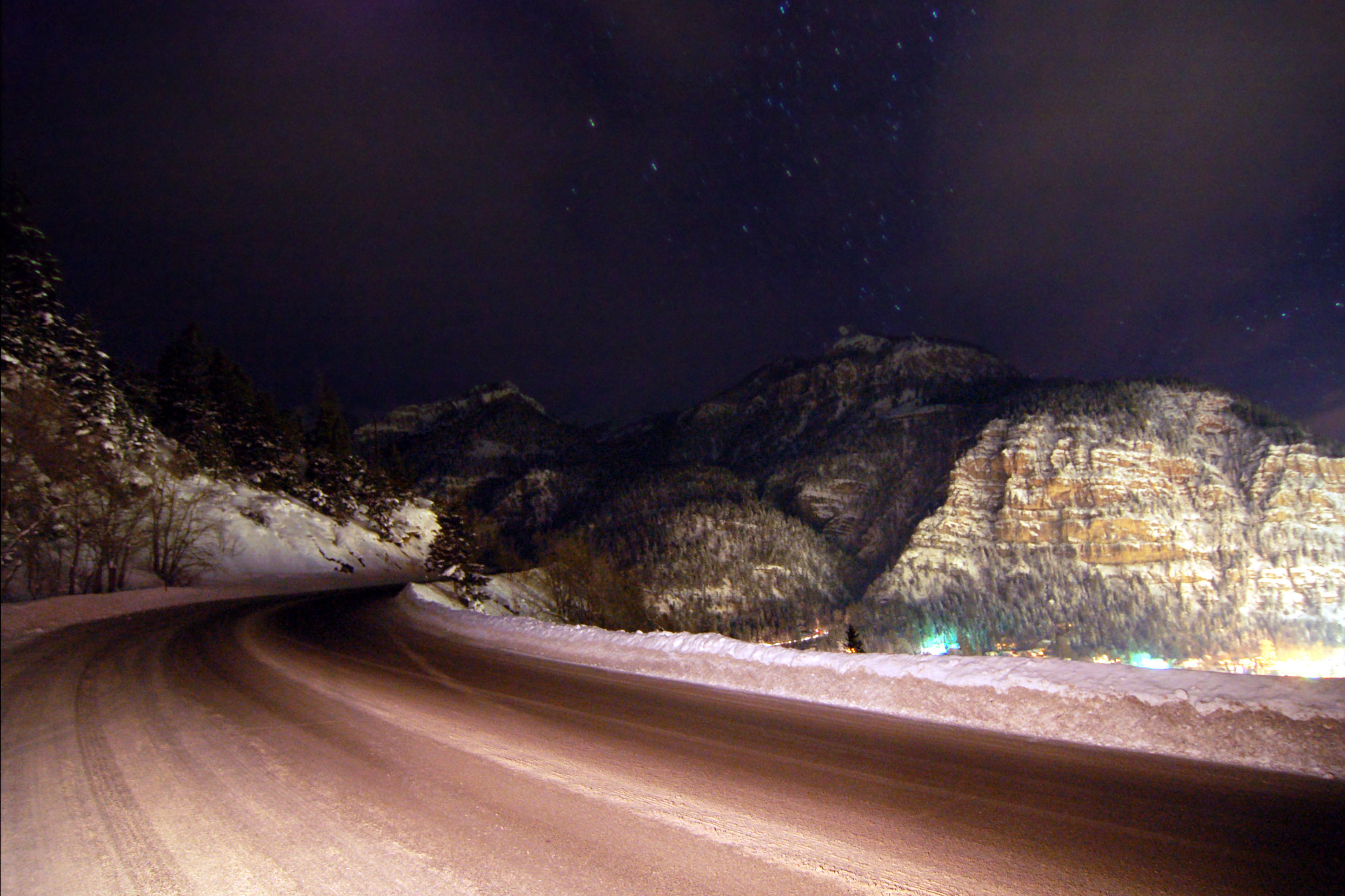
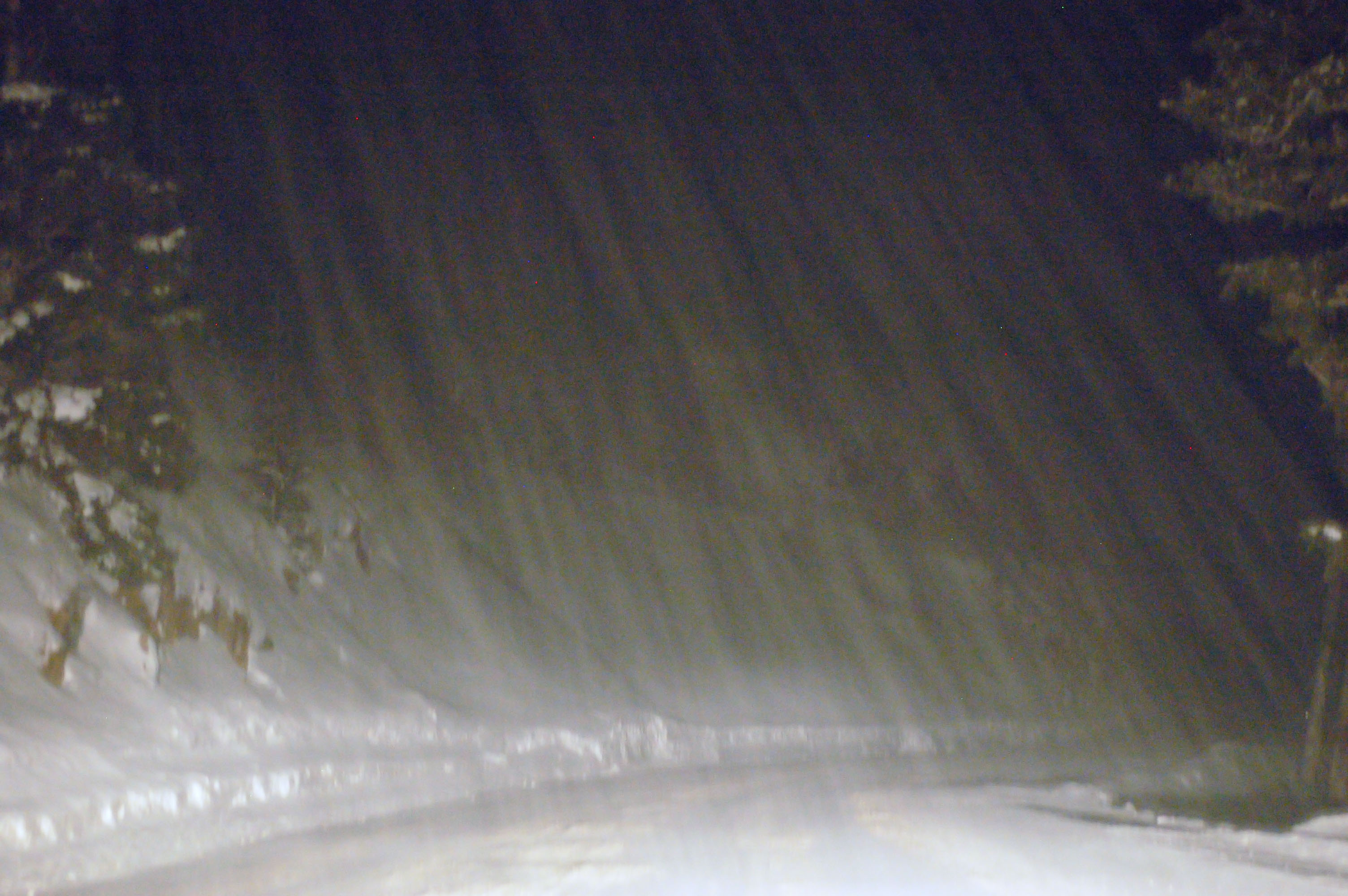
US-550 going up the hill… in the dead of night.
Past Silverton. 9600 feet. Snow is coming down.
Full speed ahead (again, 3 mph) into the teeth of the snowstorm. Here is where we reach the summit and must begin our treacherous descent – down an ice-covered road, in a shitty rental car that was born without a concept of such interesting weather in its mind.
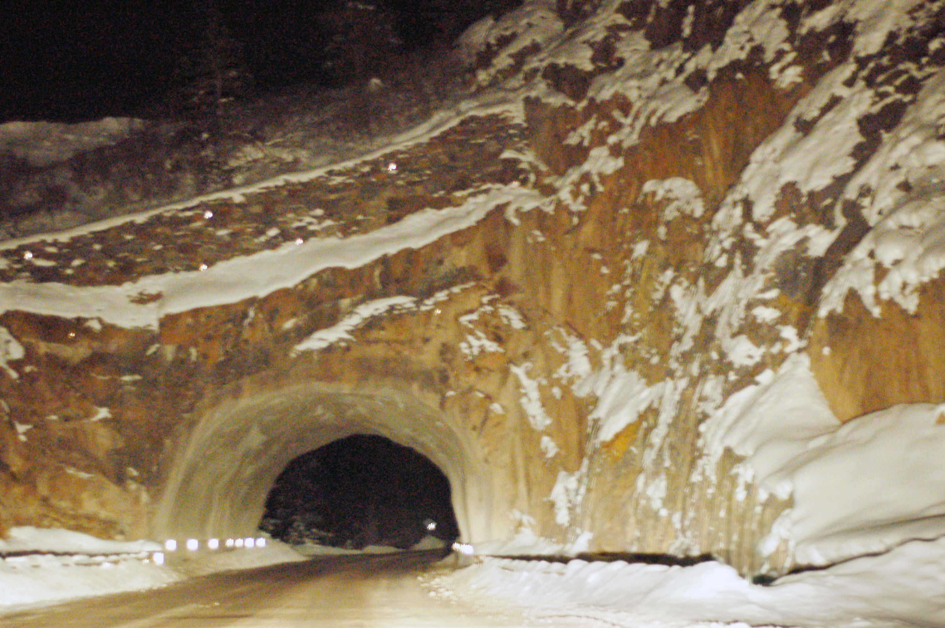
An original 1913 tunnel. We’re past Red Mountain Pass now, but we still are at over 10000 feet in the air… and it is still dark and snowing.

And we’ve reached Ouray – the other side of Red Mountain Pass, and while we are still at 7800 feet, we have made it across the worst of it. Yep, it is nearly two in the morning now.

Neon advisory sign that dates back to the 1950s. Yep, that is the mountain pass we just crossed – with no such luxuries as snow tires or chains.

I have no idea what this is a picture of … but it came out cool.
So this was all in the state of Colorado. Next up – a trip across Utah on US-50, I-15, and I-80… exploring Salt Lake City, looking for old signs of course.


I am enthralled that you went to Salt Lake. I can’t wait for the pictures.
I don’t think I found much of interest, but I did get some great photos from I-70 between Grand Junction, Colorado and I-15!