
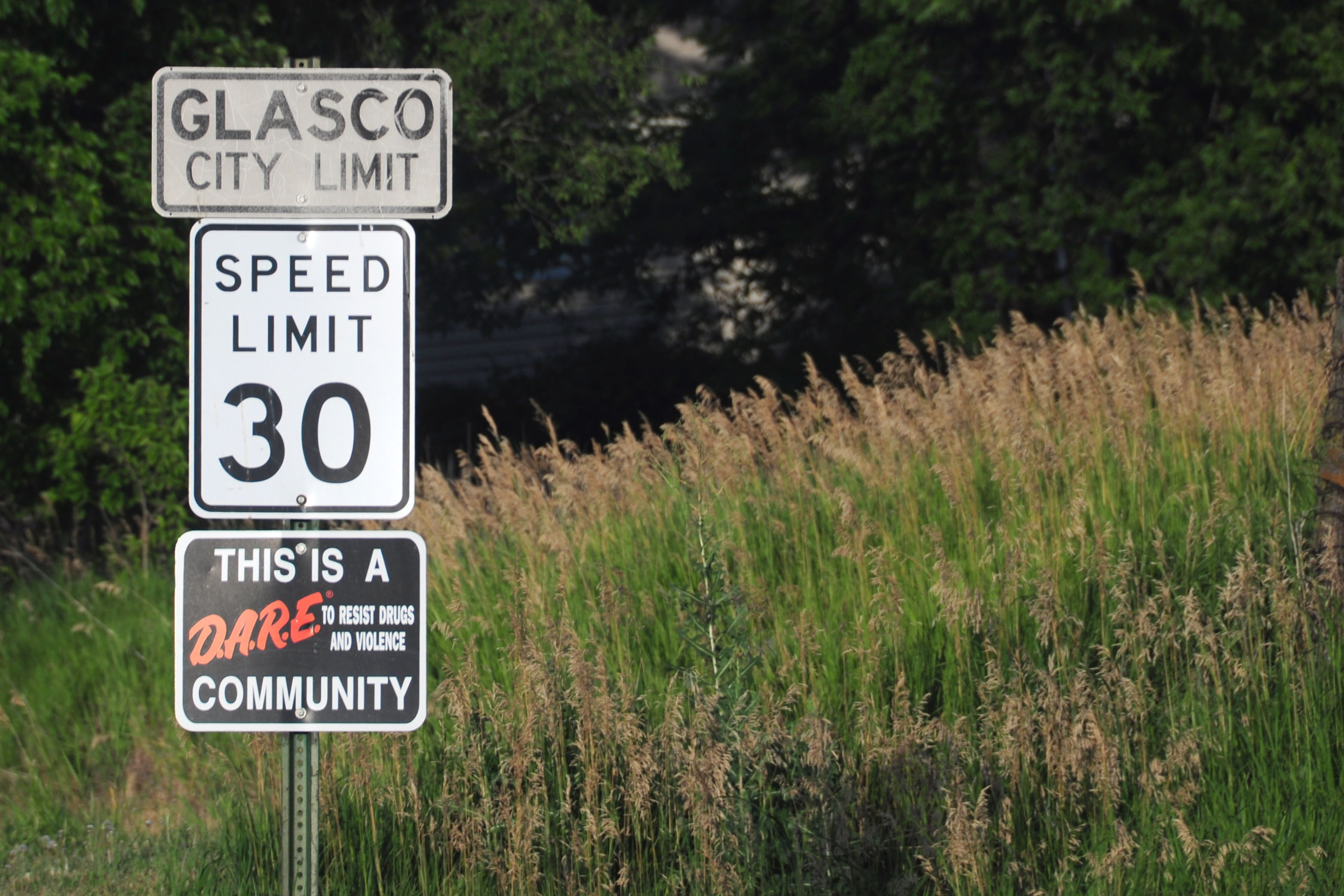
We pick up in Iowa, where we decide to stop heading east in order to get to New Mexico. We see flooding along the Missouri River, and catch a thunderstorm in Kansas.
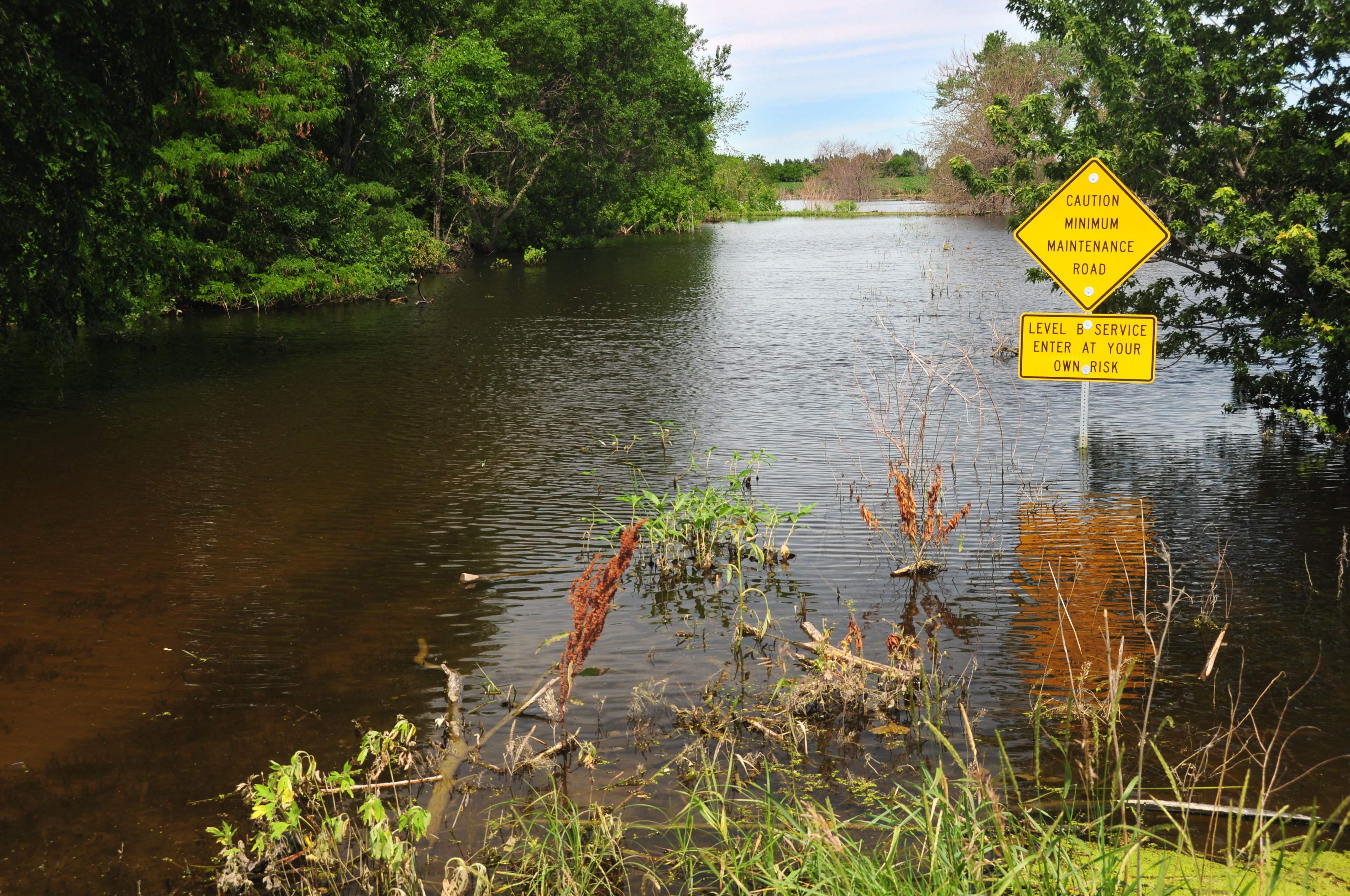
Minimum maintenance road.
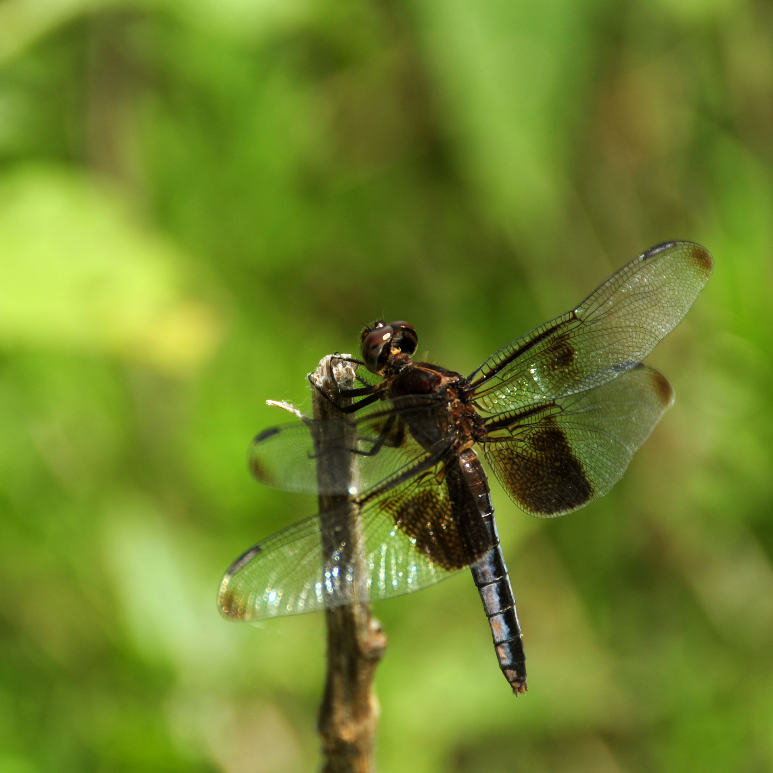
Flooding causes standing water. Standing water causes mosquitoes and other insects. A fresh source of food means the dragonflies grow fat and happy. This one was about three inches long, with a five inch wingspan.
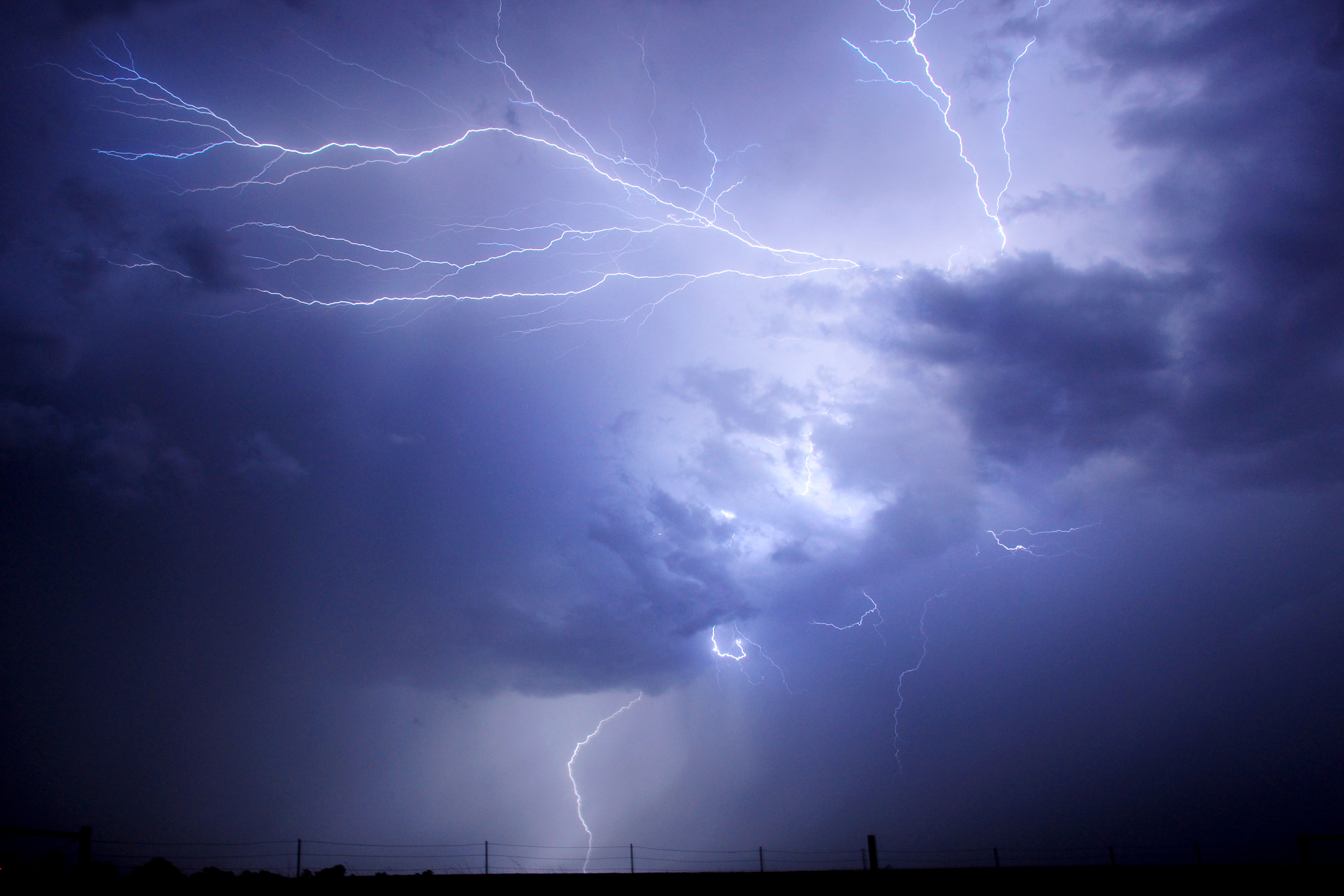
We’ve got ourselves a good old fashioned lightning storm. Western Kansas.
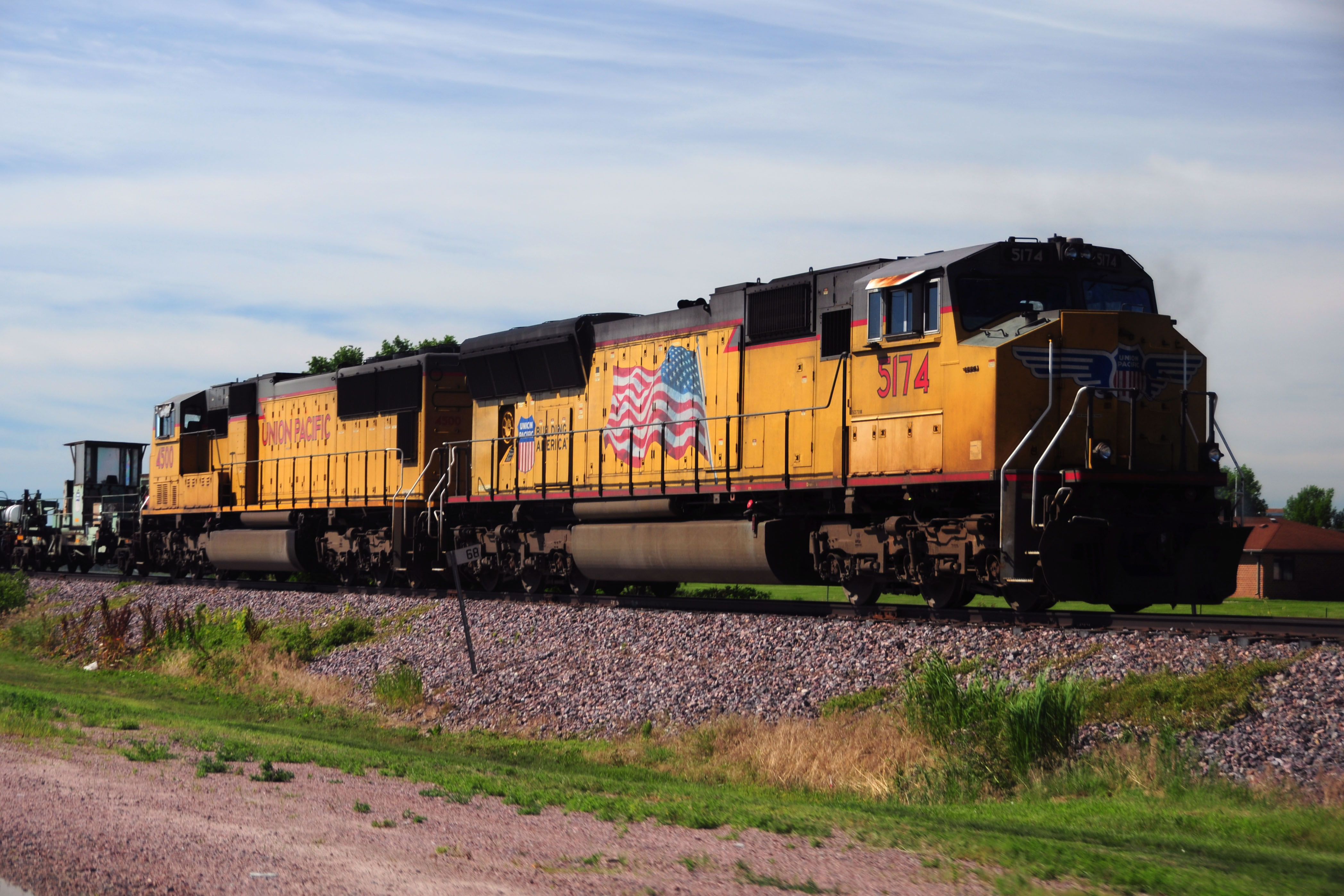
We start with another train – no airplane fuselages this time, though.
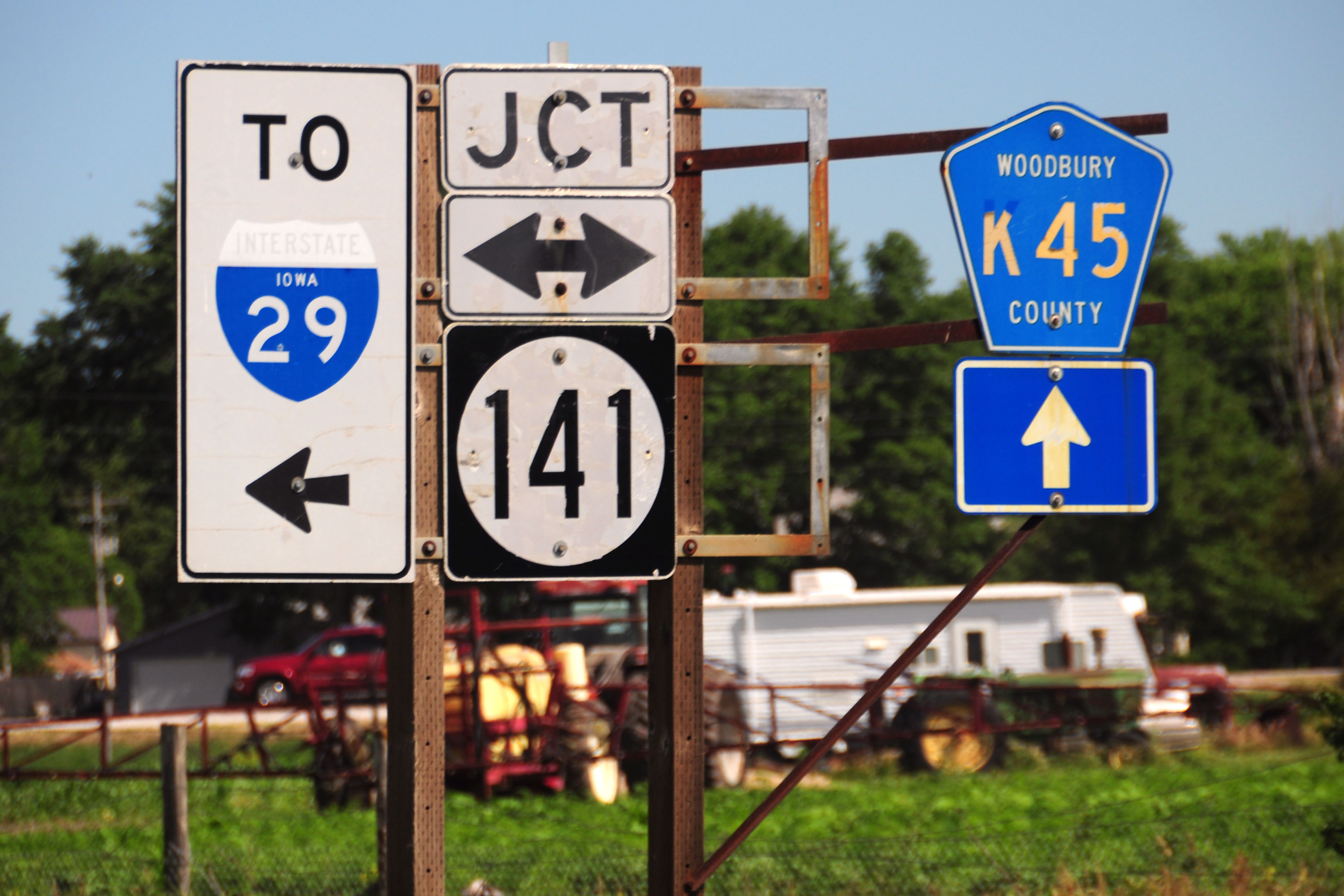
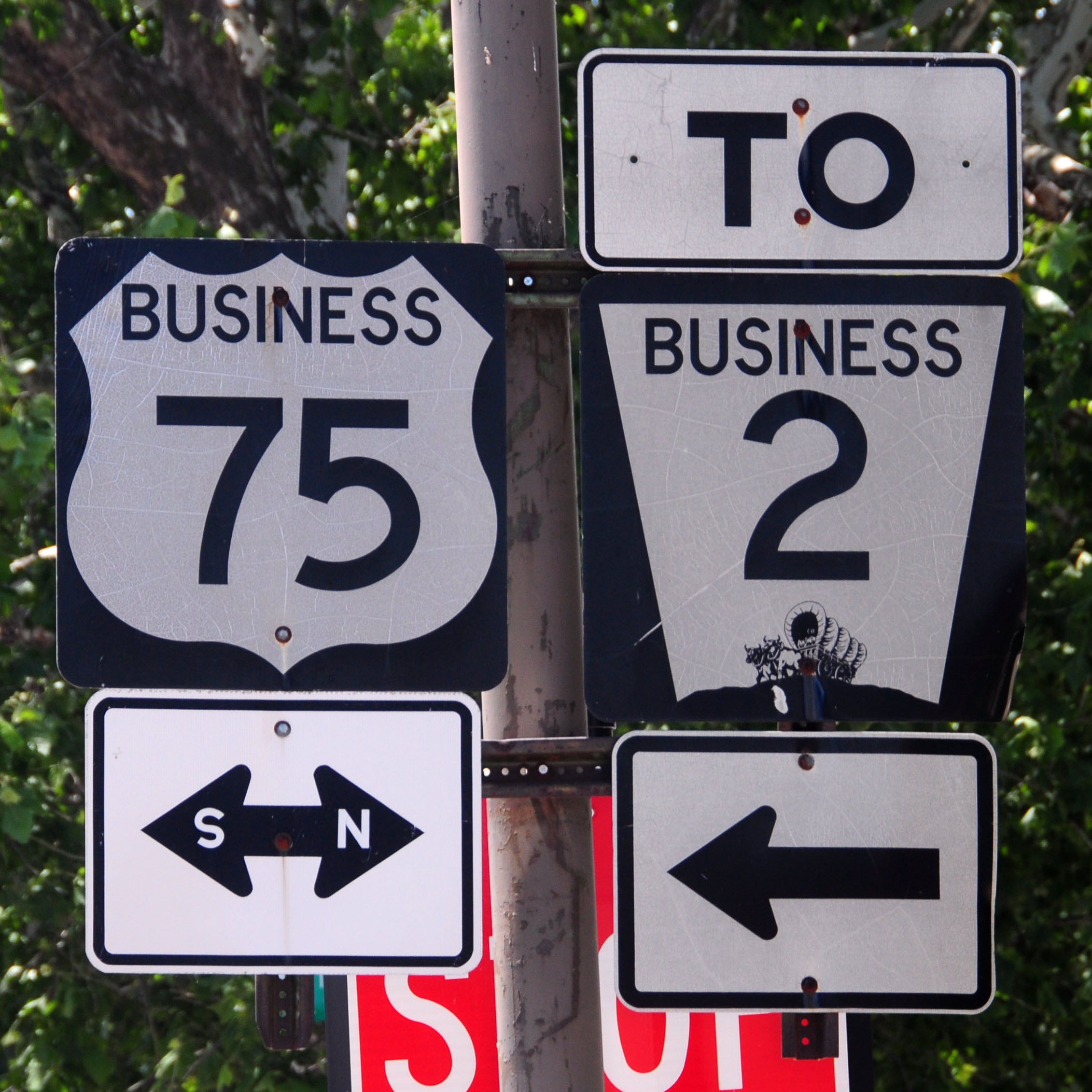
The gantry tells the tale. At one point, this road was US-75, and the rightmost (missing) set of signs indicated that. Then, US-75 was moved onto the I-29 freeway, so they changed the gantry to indicate that – and added the new county route designation.
when they moved US-75 well into Nebraska, they took off the trailblazer, but oddly did not move the county signs to the main gantry. too much effort, apparently.

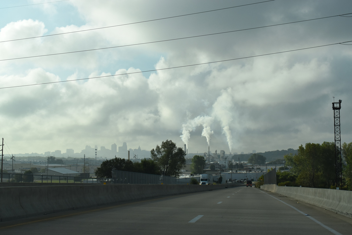
Green grass and high tides.
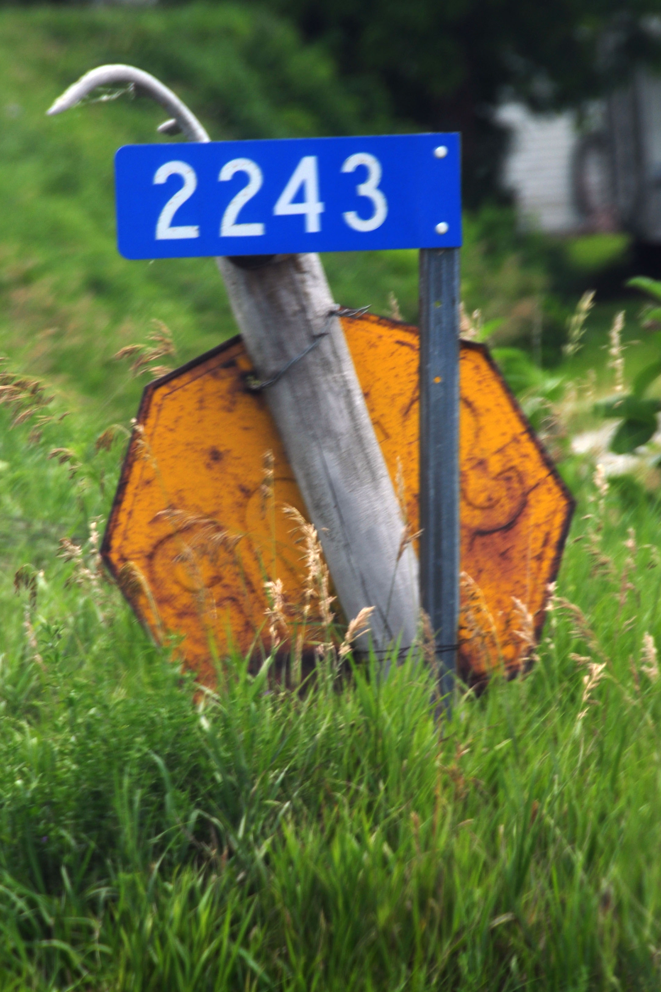
This old yellow stop sign might actually still be in service… it all depends on whether the dirt path it serves is a public road, or just someone’s driveway.
Old 75 intersects current 30. The sign dates to 1994, as evidenced by the sticker on the back, which implies that 75 was moved across the river after that time.
Iowa is the only state I know which uses outline shields for interstates so regularly.
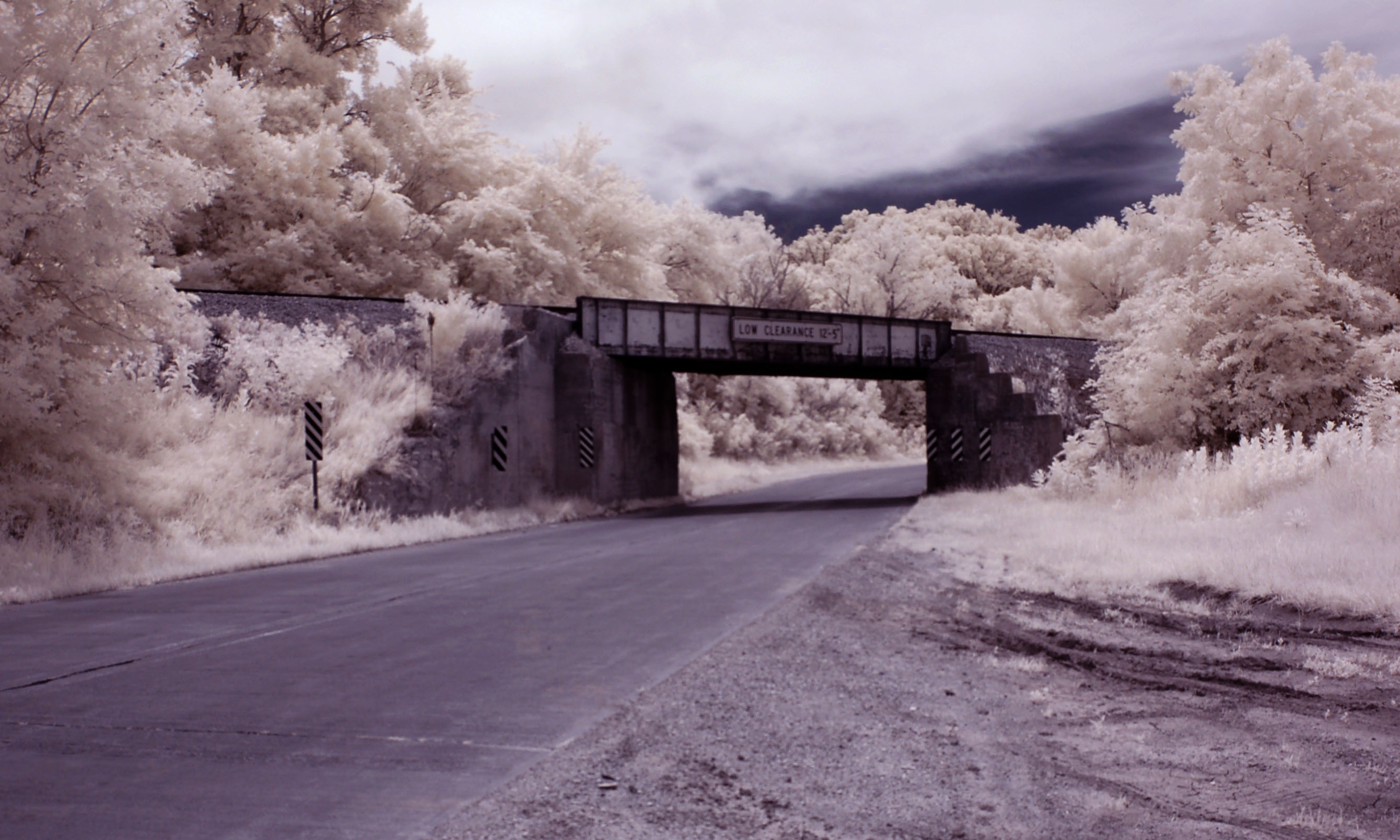
One in infrared, for variety’s sake. Old US-30/75; the Lincoln Highway approaching Omaha.
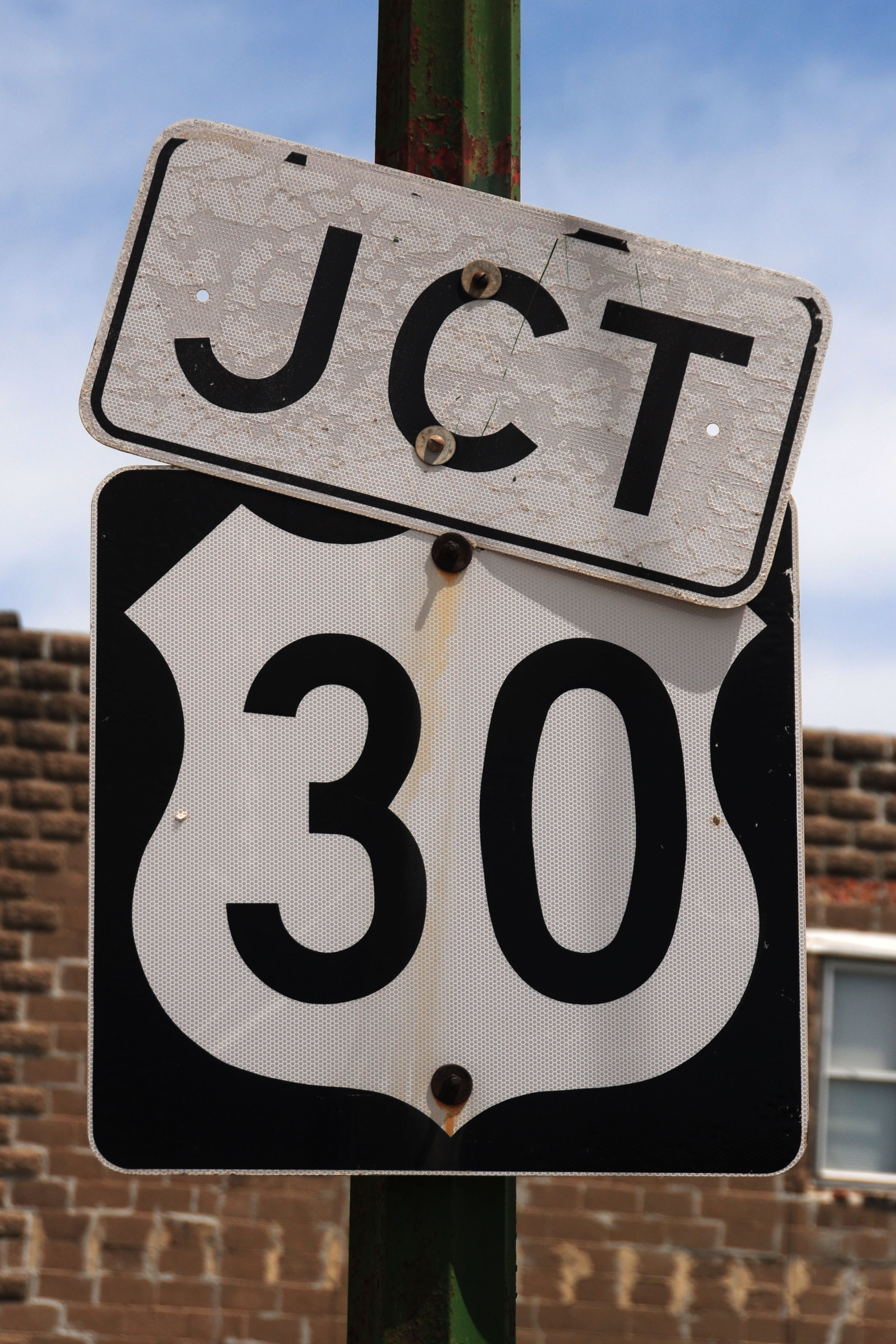
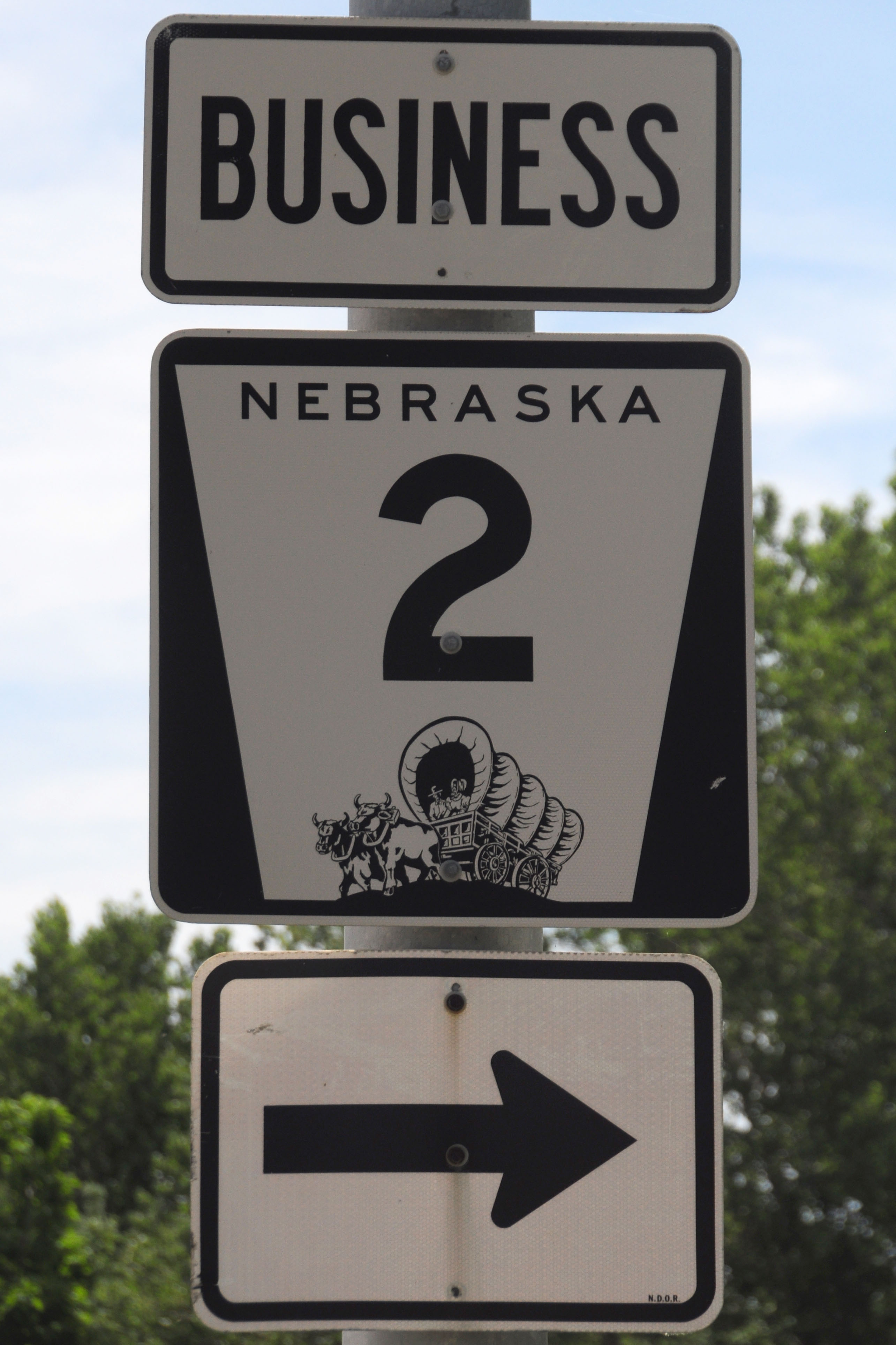
Nebraska City is about the last place in the state where you will find these “BUSINESS”-tagged state route shields. The US routes are in a lot of places. The earliest ones date back to 1984, when the bypass was built.
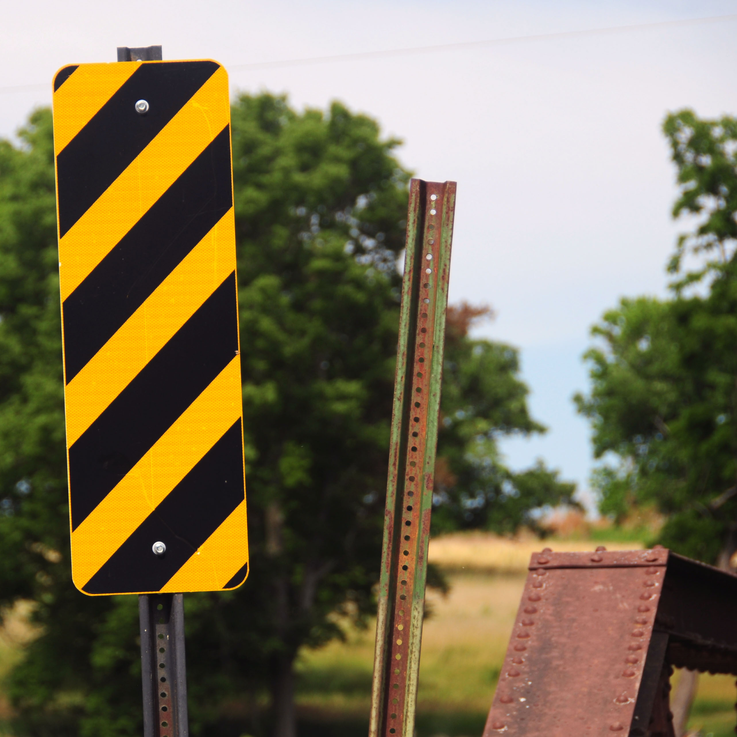
The newer sign assemblies are divided into multiple pieces, like this one.
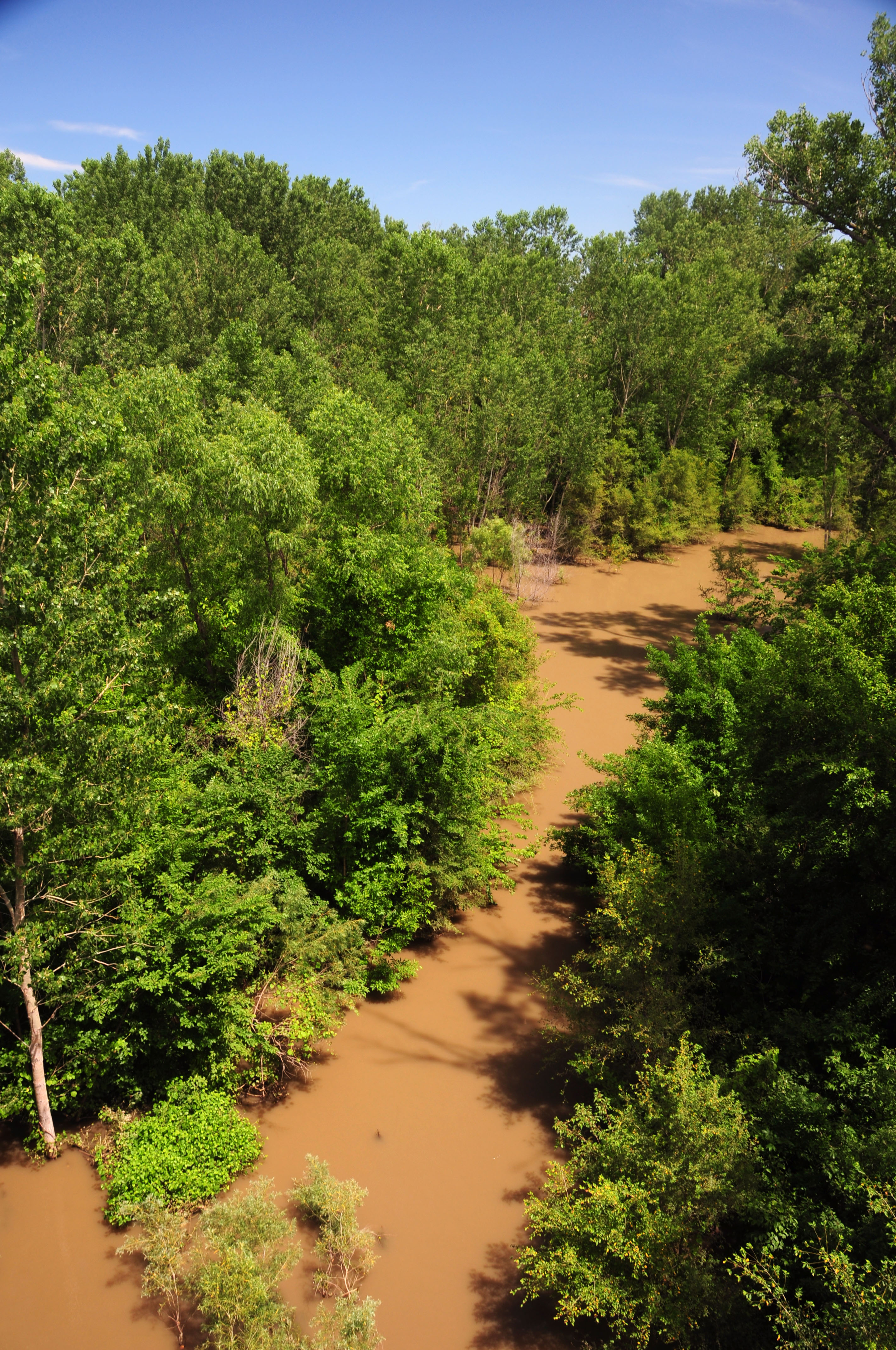
The view from the highway 2 bridge across the Missouri river between Iowa and Nebraska. Why is the water brown? A sewage treatment plant upstream was flooded. Ick.
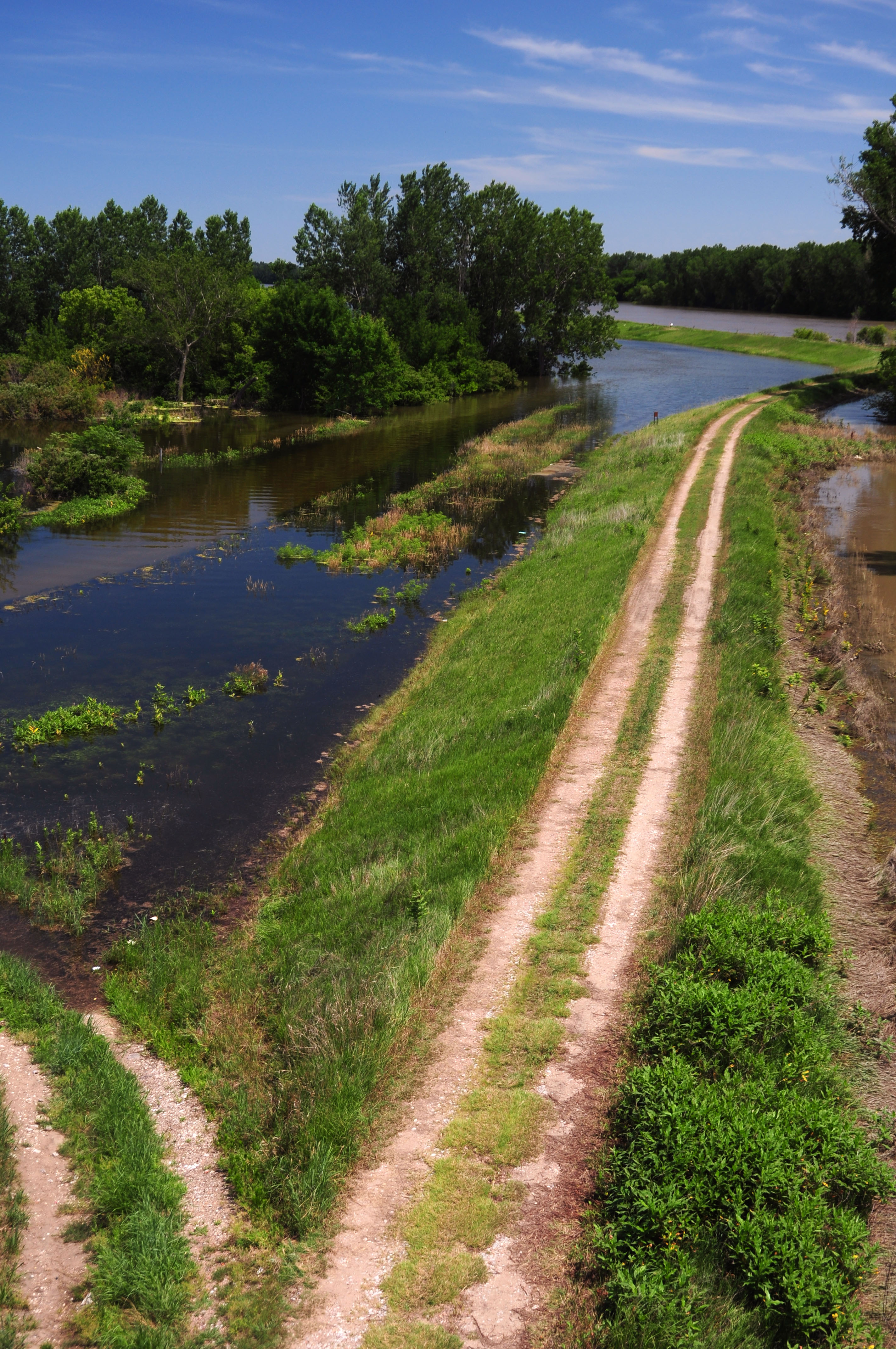
The levee is holding … for now.
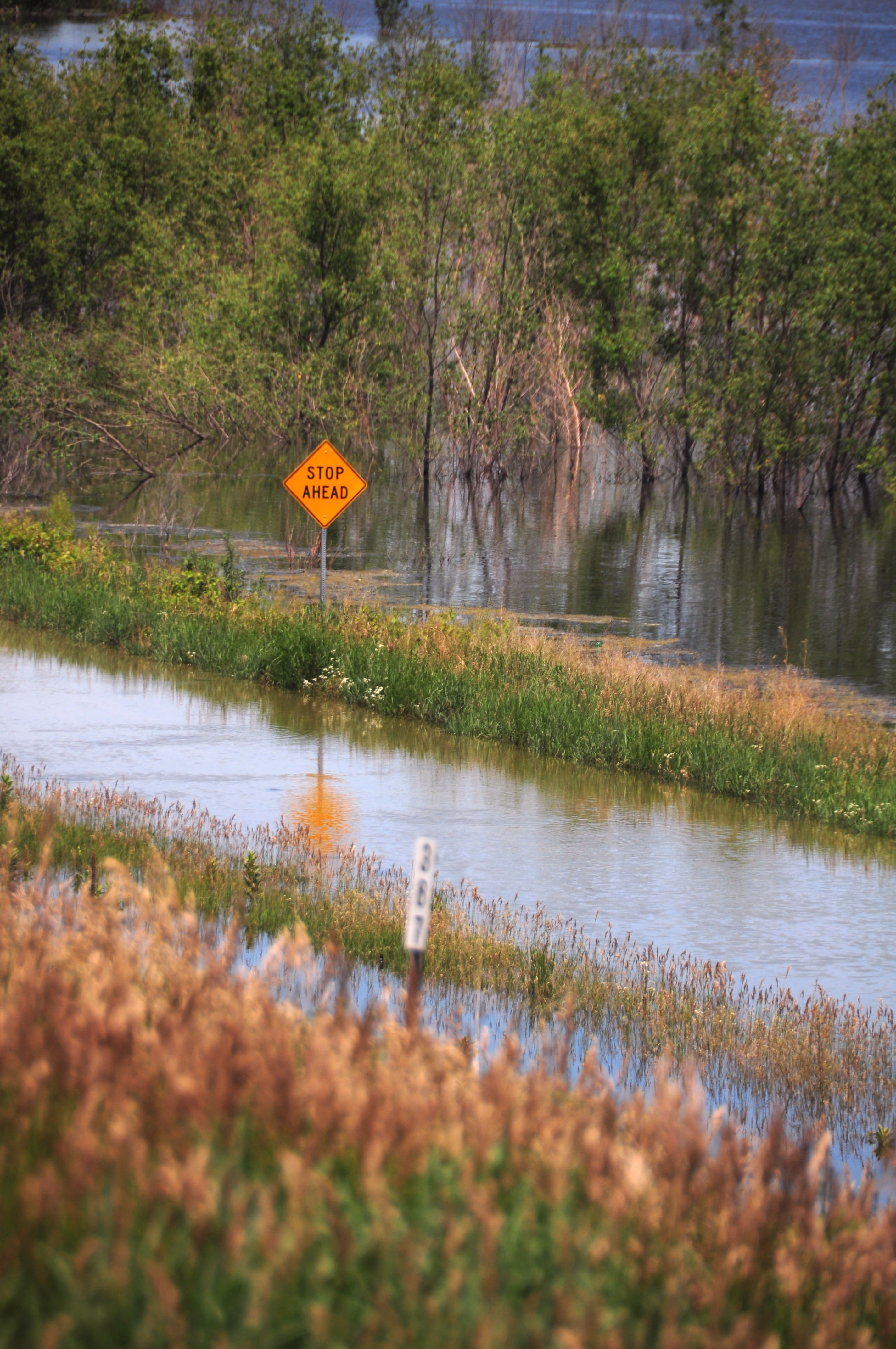
There’s an on-ramp in here somewhere.
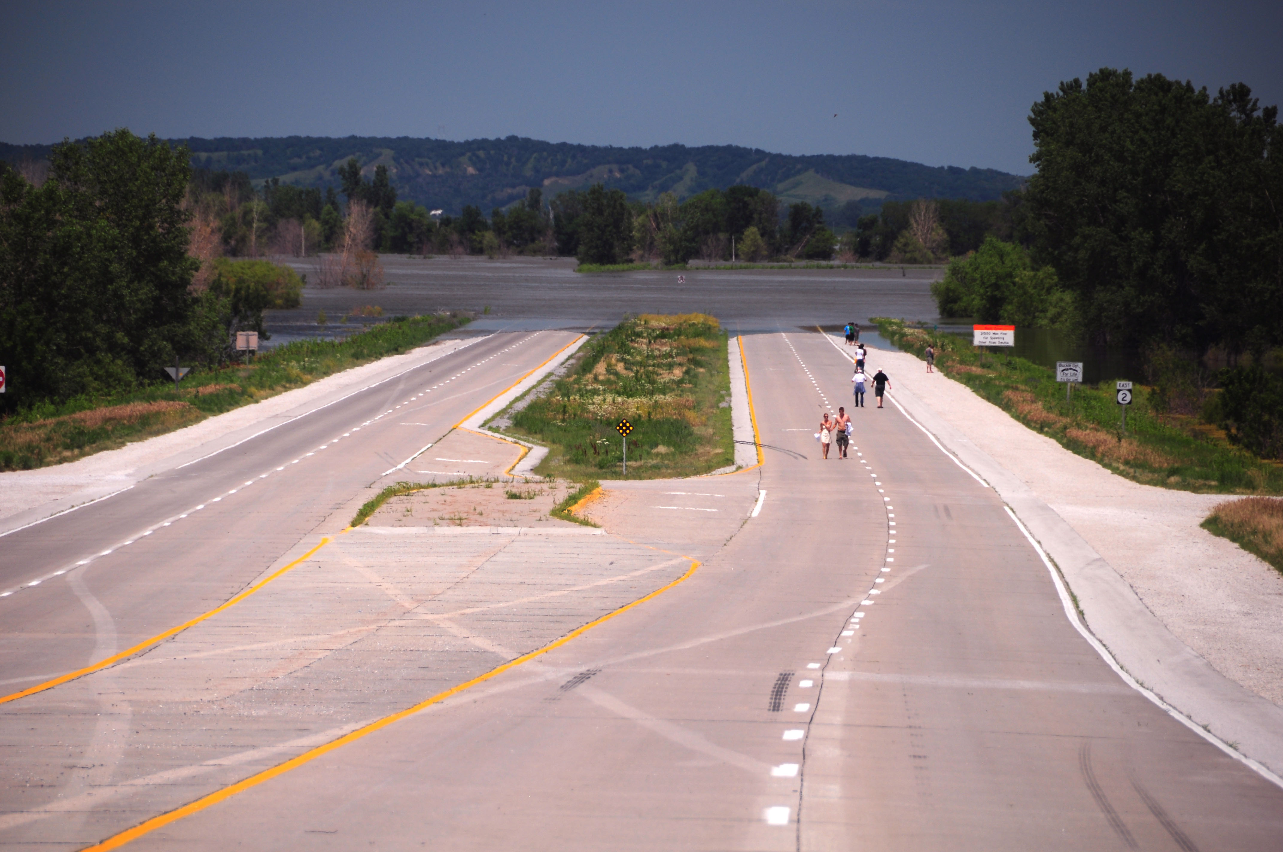
You can see the first Iowa state highway 2 marker in the distance … not long before the road sinks.
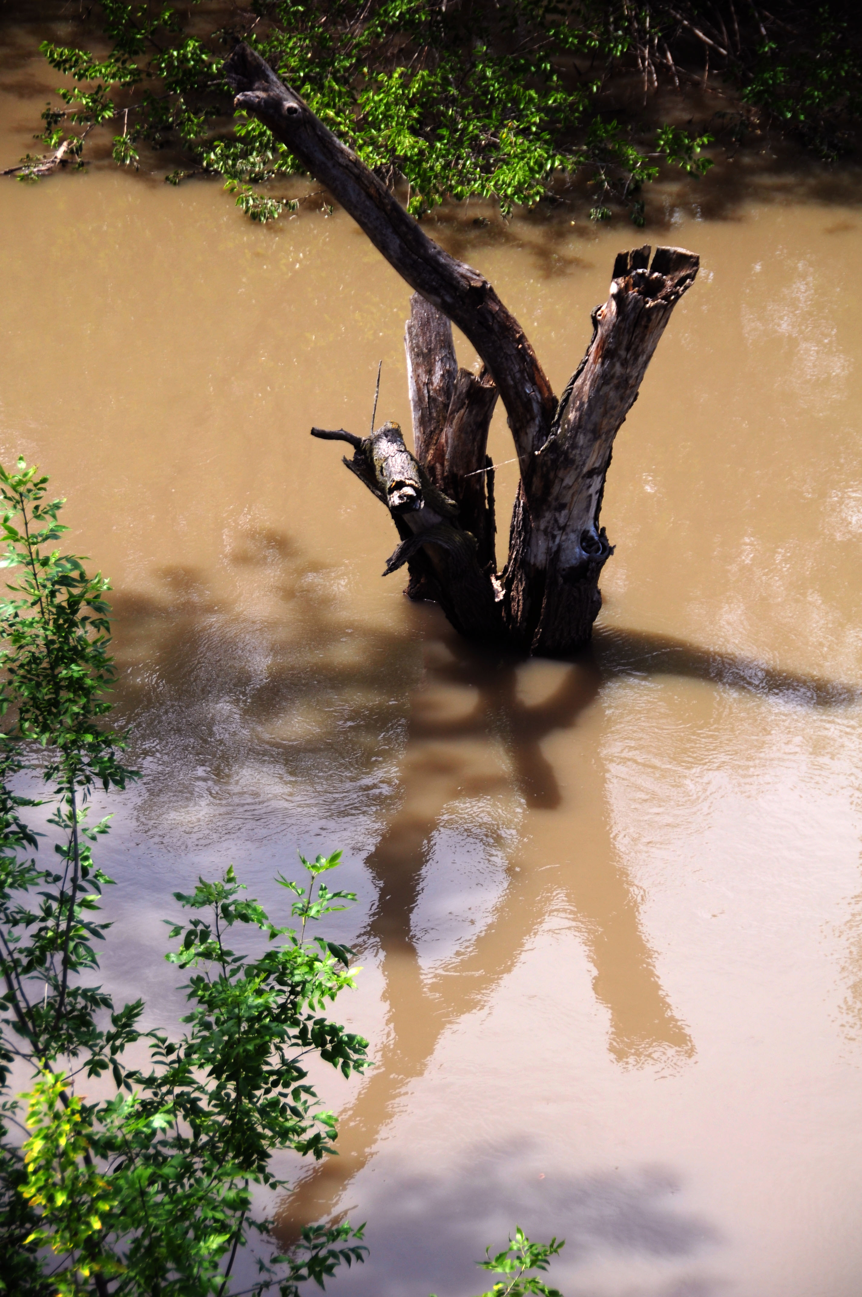
The water isn’t usually this high. Or, this brown.
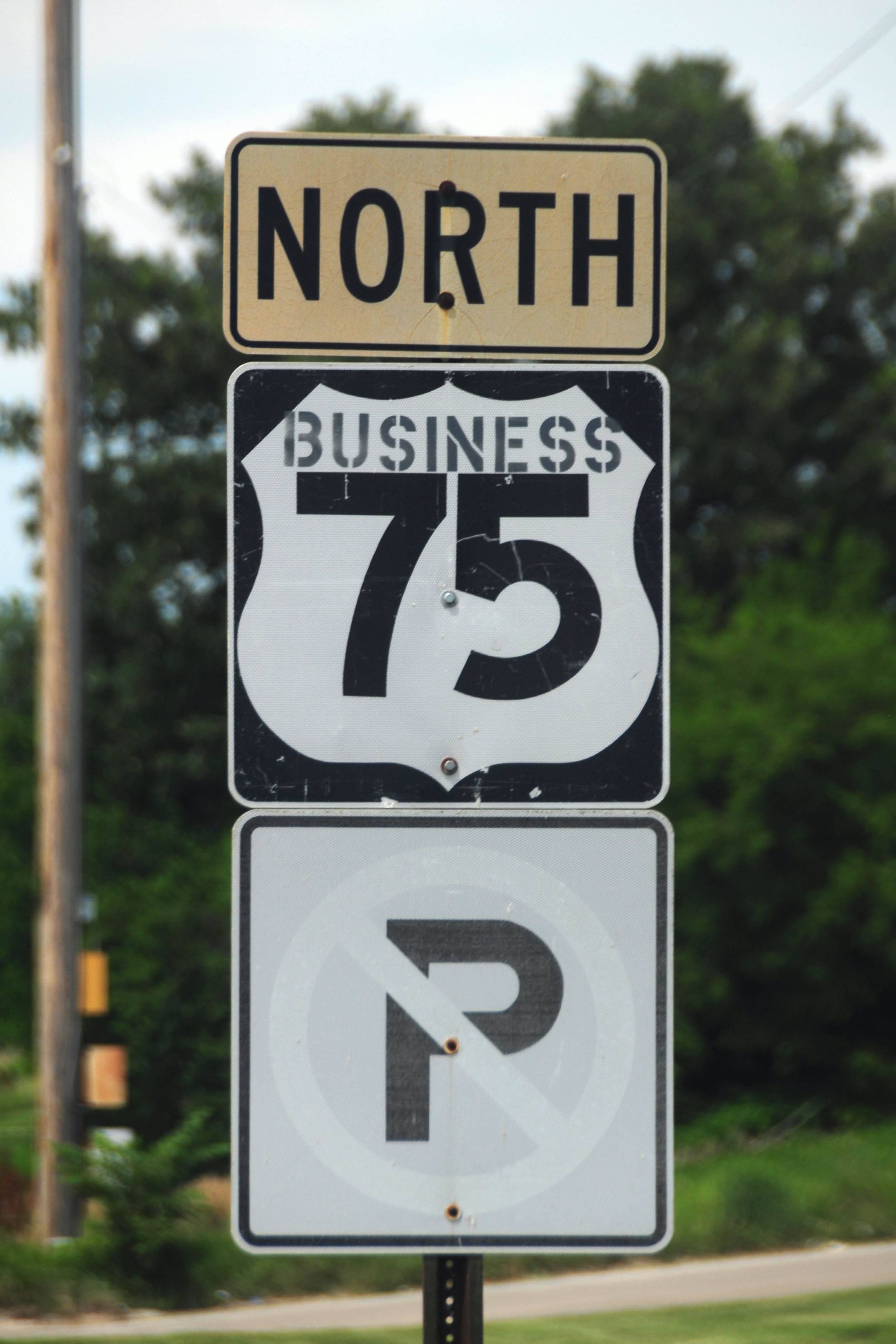
Instant business route marker… just add stencil.

Somewhere in Nebraska, this flower blooms.
We’re not just looking for pretty flowers. We are driving this road because it is an old alignment of Nebraska state highway 4. It got renumbered to US-136 sometime in 1951. The green post may very well have once held a NE-4 shield.
This might be the oldest sign we see in Nebraska. The black going all the way to the outside border, the yellow faded to white – this identifies the sign as mid-1950s. It’s on the same old alignment of NE-4/US-136.
Indeed, this sign was once yellow.
We are now in Kansas, where we find this white guide sign on an old US-24 alignment.
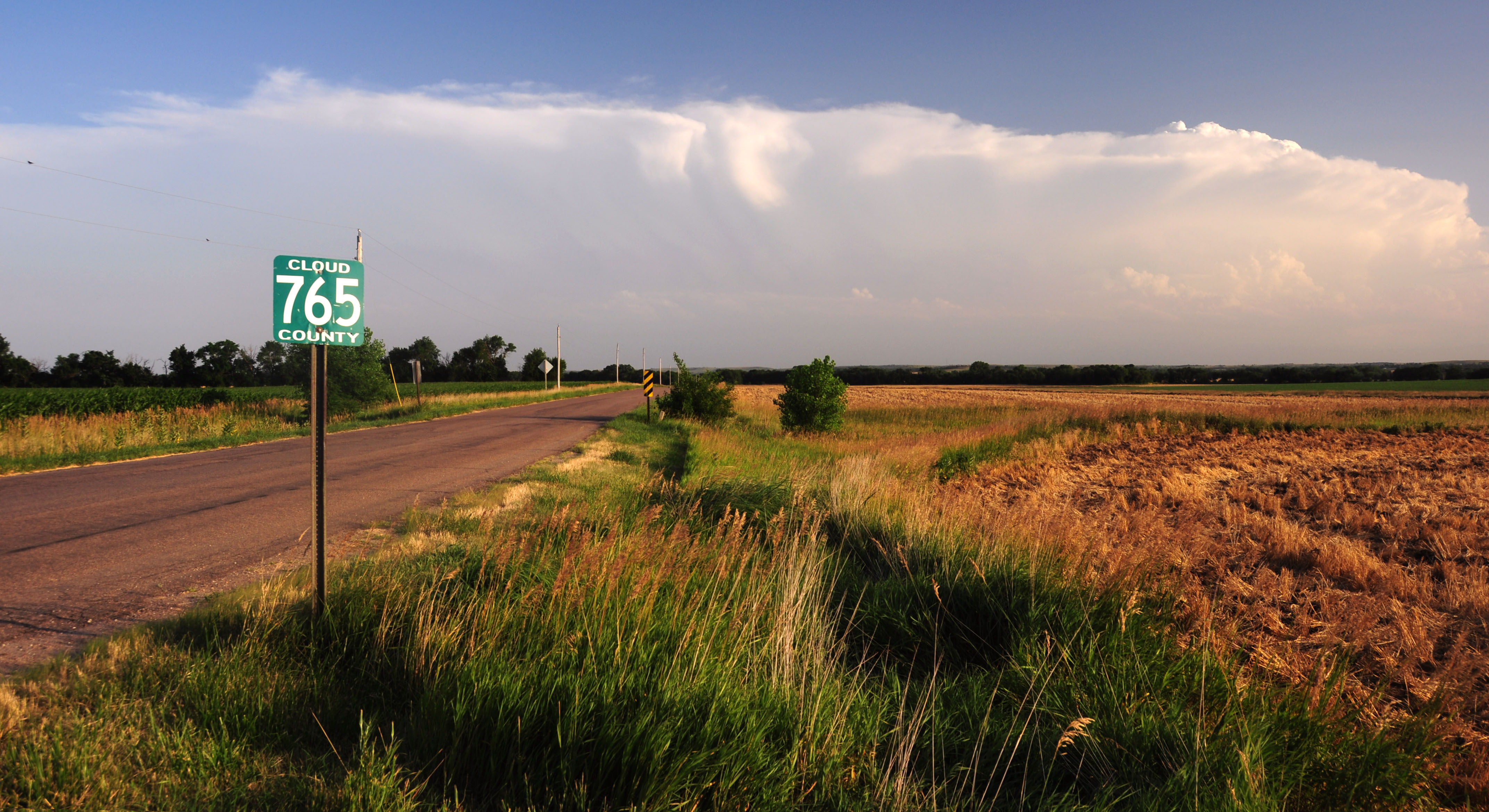
Cloud County indeed.
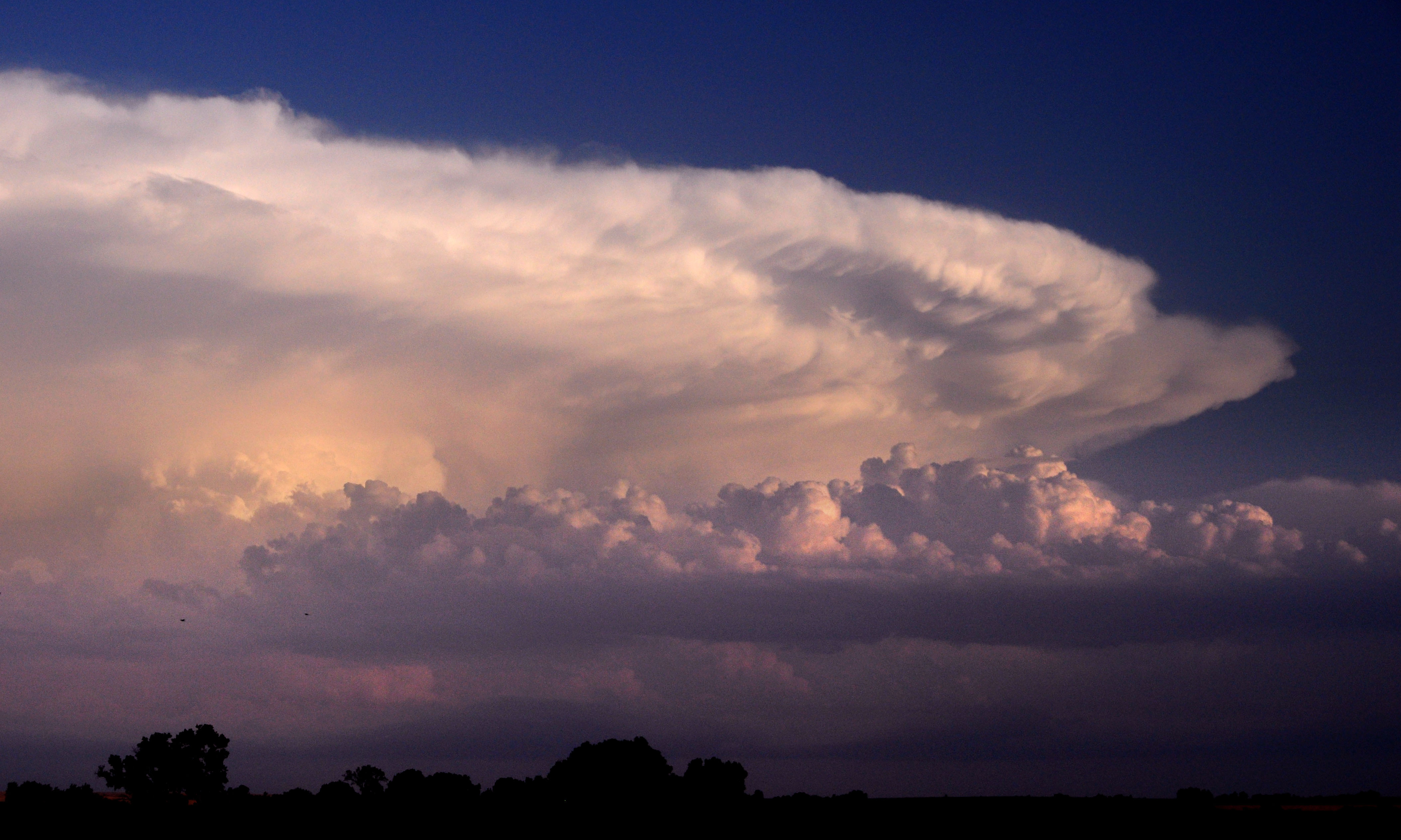
This storm cloud is centered over Salina, Kansas, over 75 miles away.
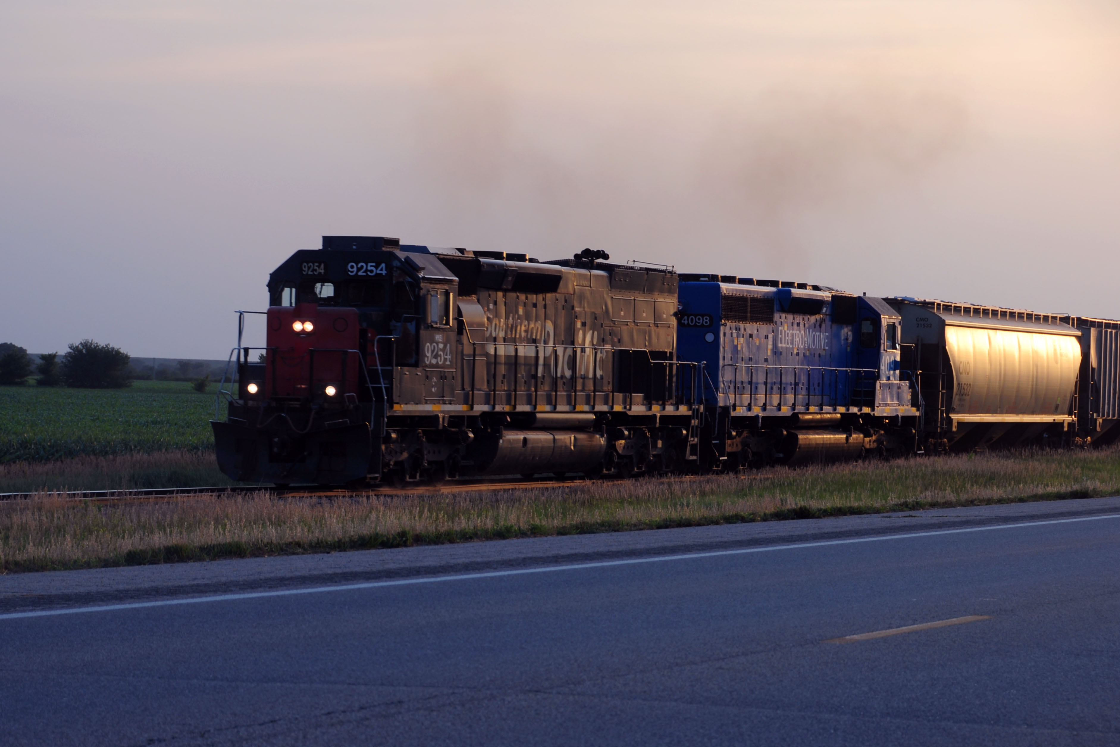
A railroad runs parallel to US-24. We catch this train just around sunset.

Blue skies and storm clouds.
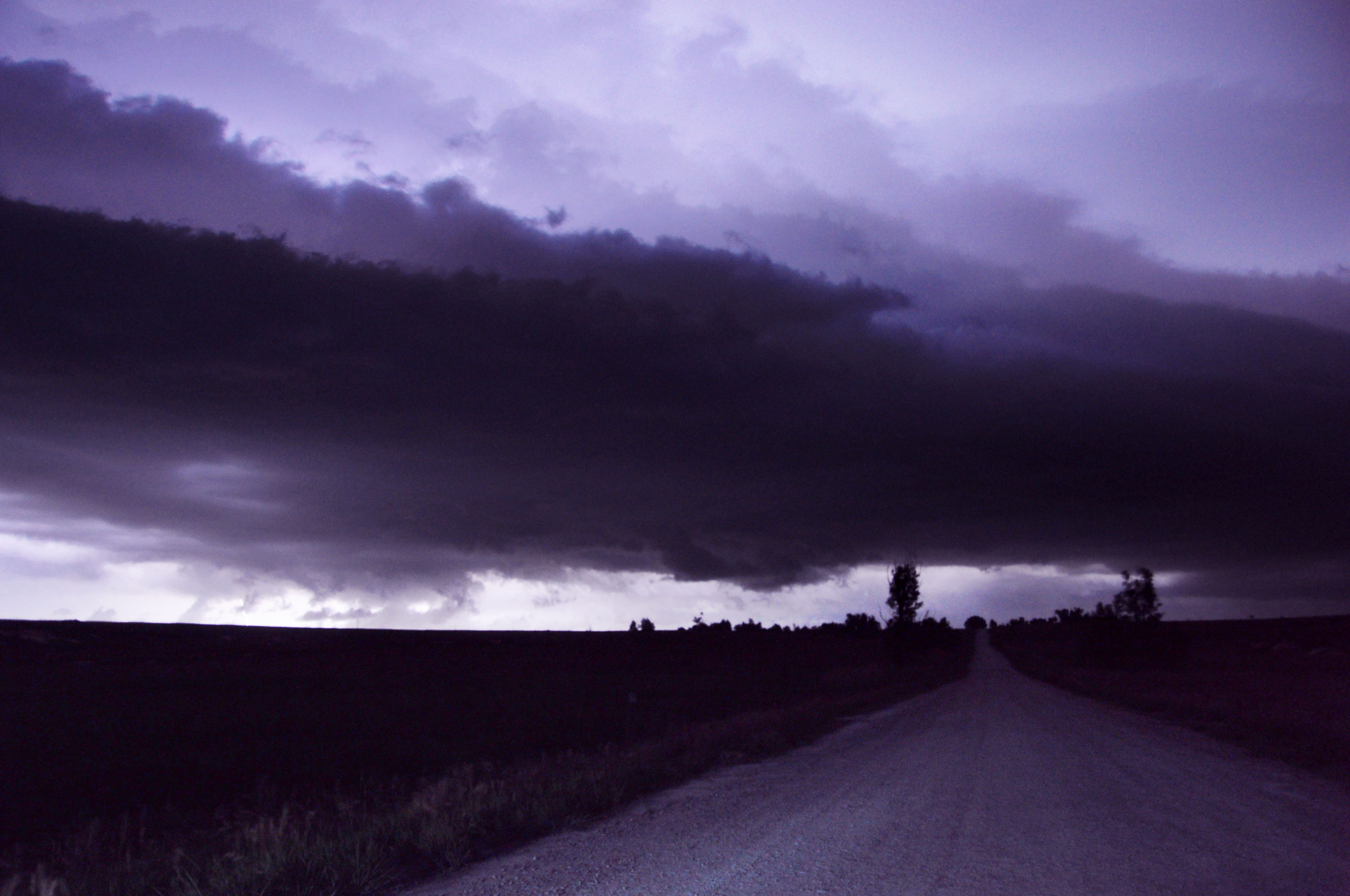
The storm approaches. This is about a one-minute exposure, with the clouds being illuminated by successive lightning strikes.
We interrupt this meteorological quest to bring you a picture of an old brown 16″ county route marker. They’re getting quite hard to find in Kansas.

It’s electric.
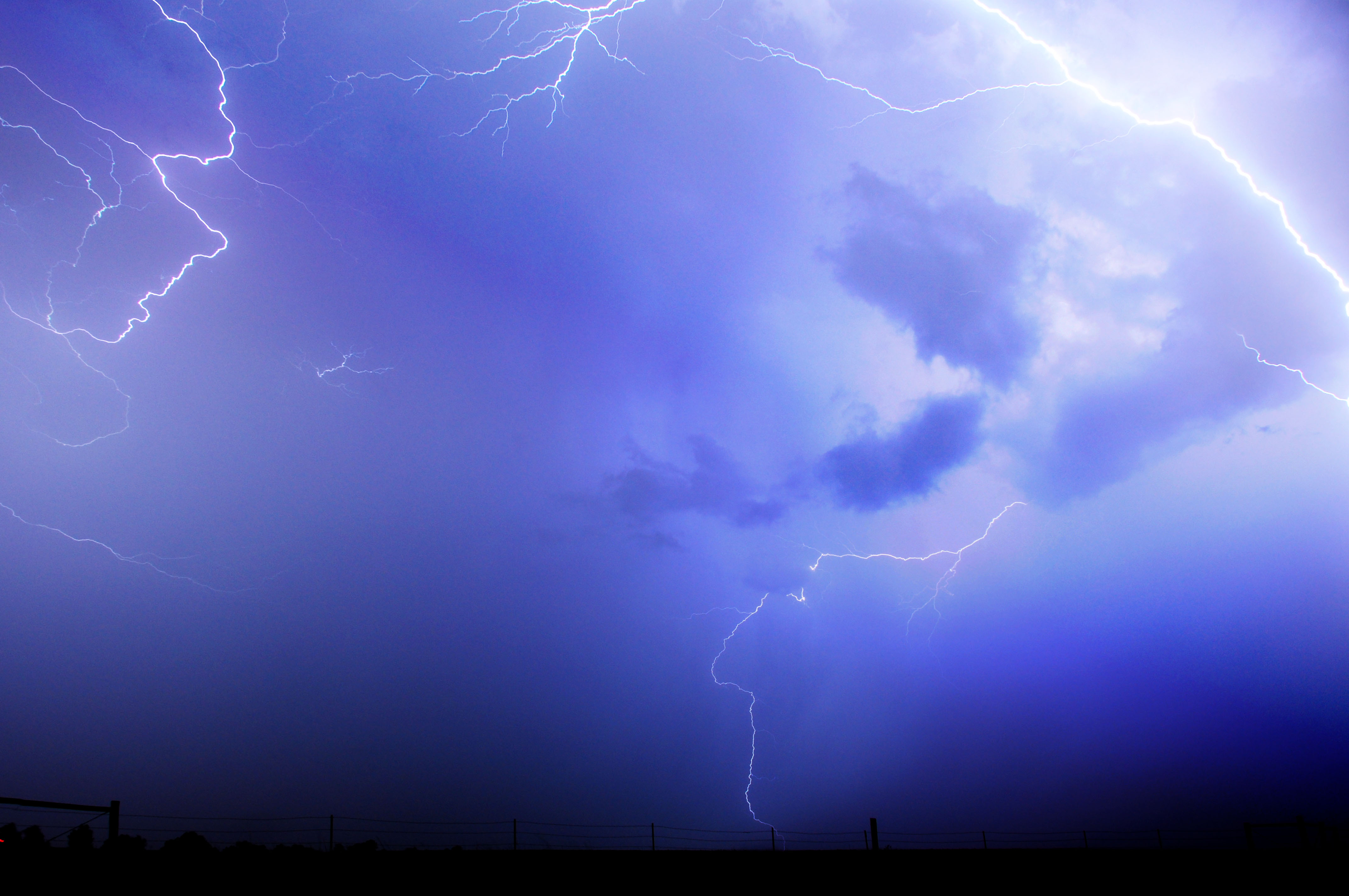
Strike after strike after strike. I combined about seven consecutive exposures here.
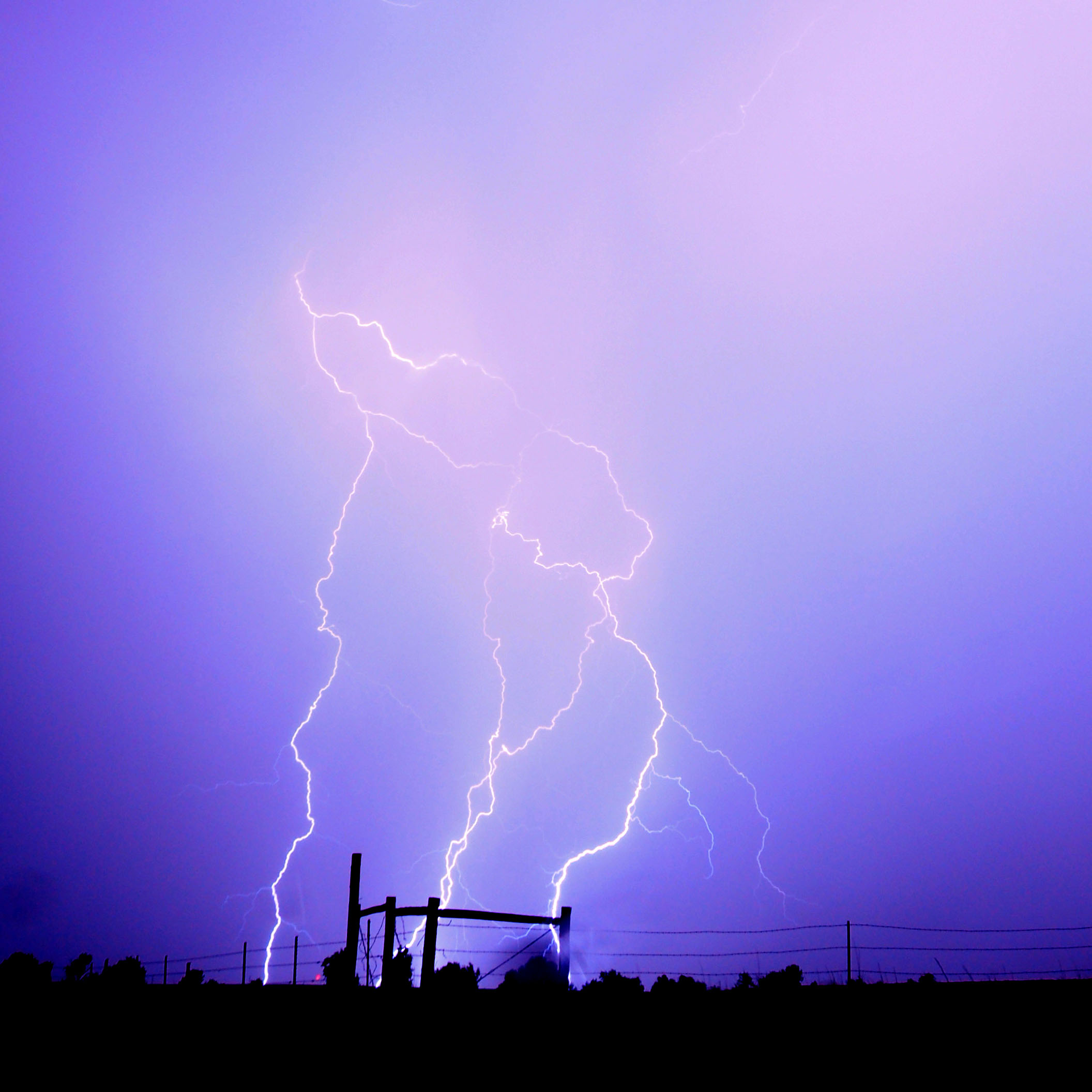
The ranch fence gets one in the teeth.

One last lightning strike.
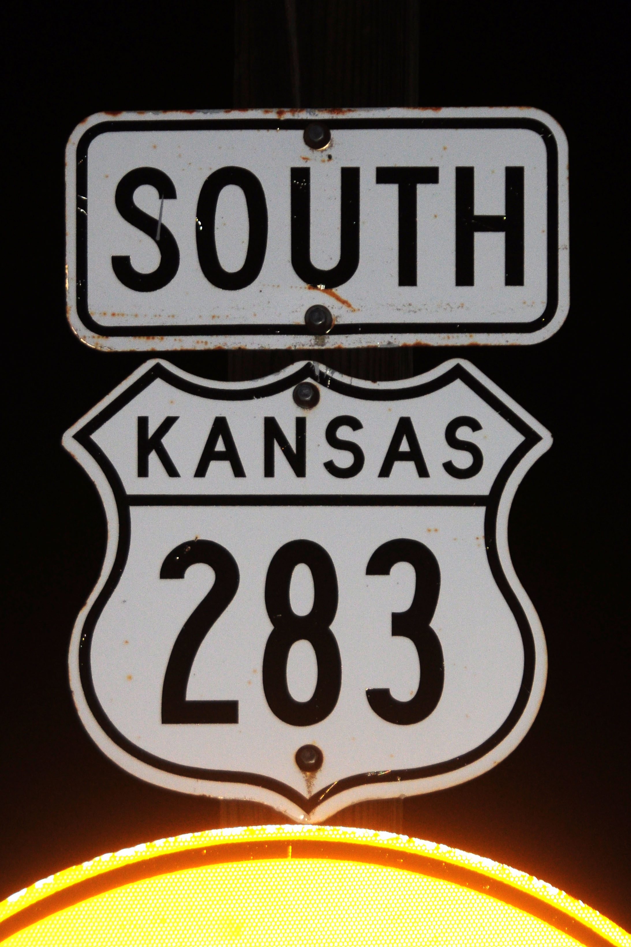
And now for something completely different. This might be the last cutout US route marker in Kansas. Apparently, the US-36 shields in St. Francis are gone, so this is it.
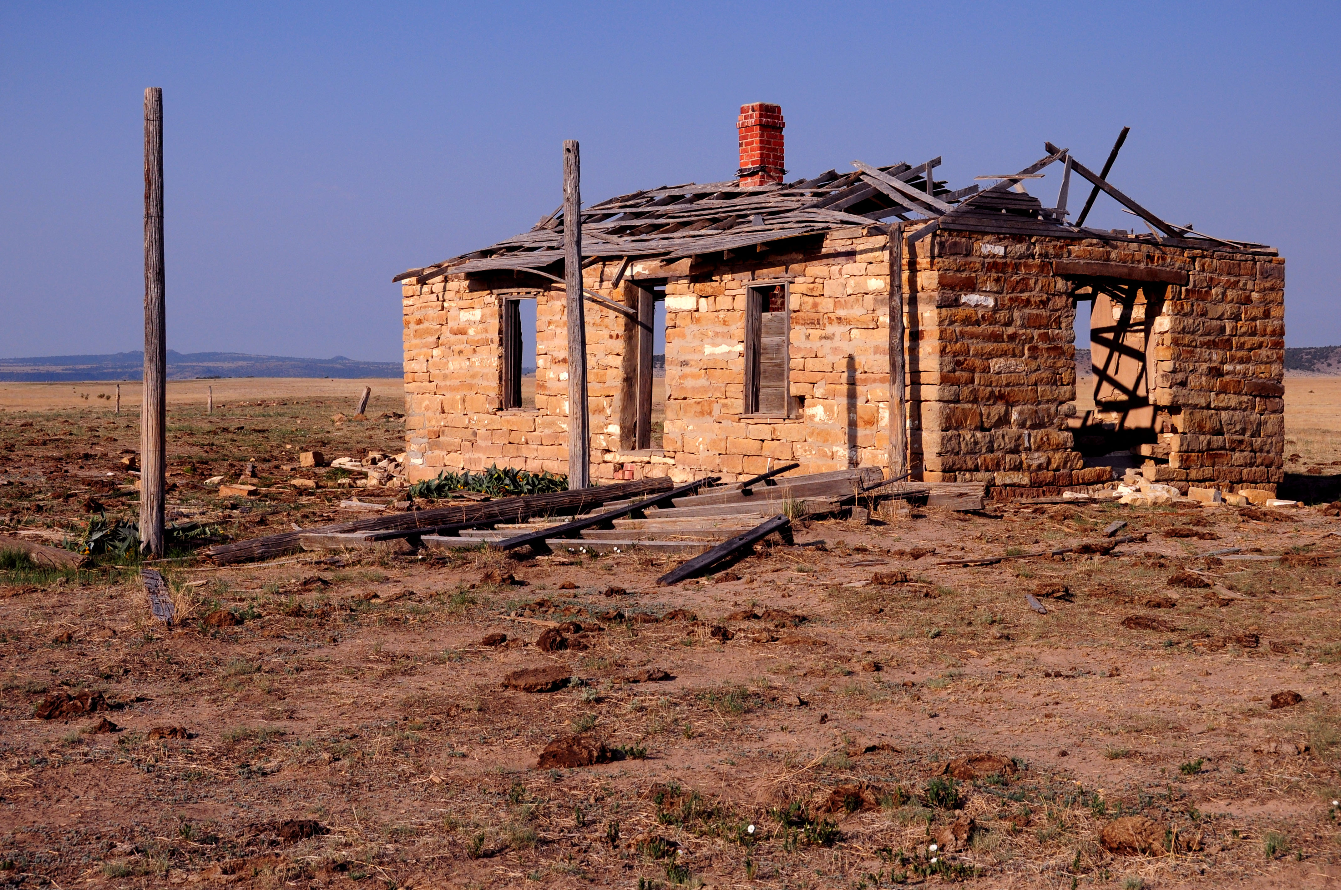
Next morning. As dawn breaks, we are in Colorado. Along the side of US-160 is this abandoned house.
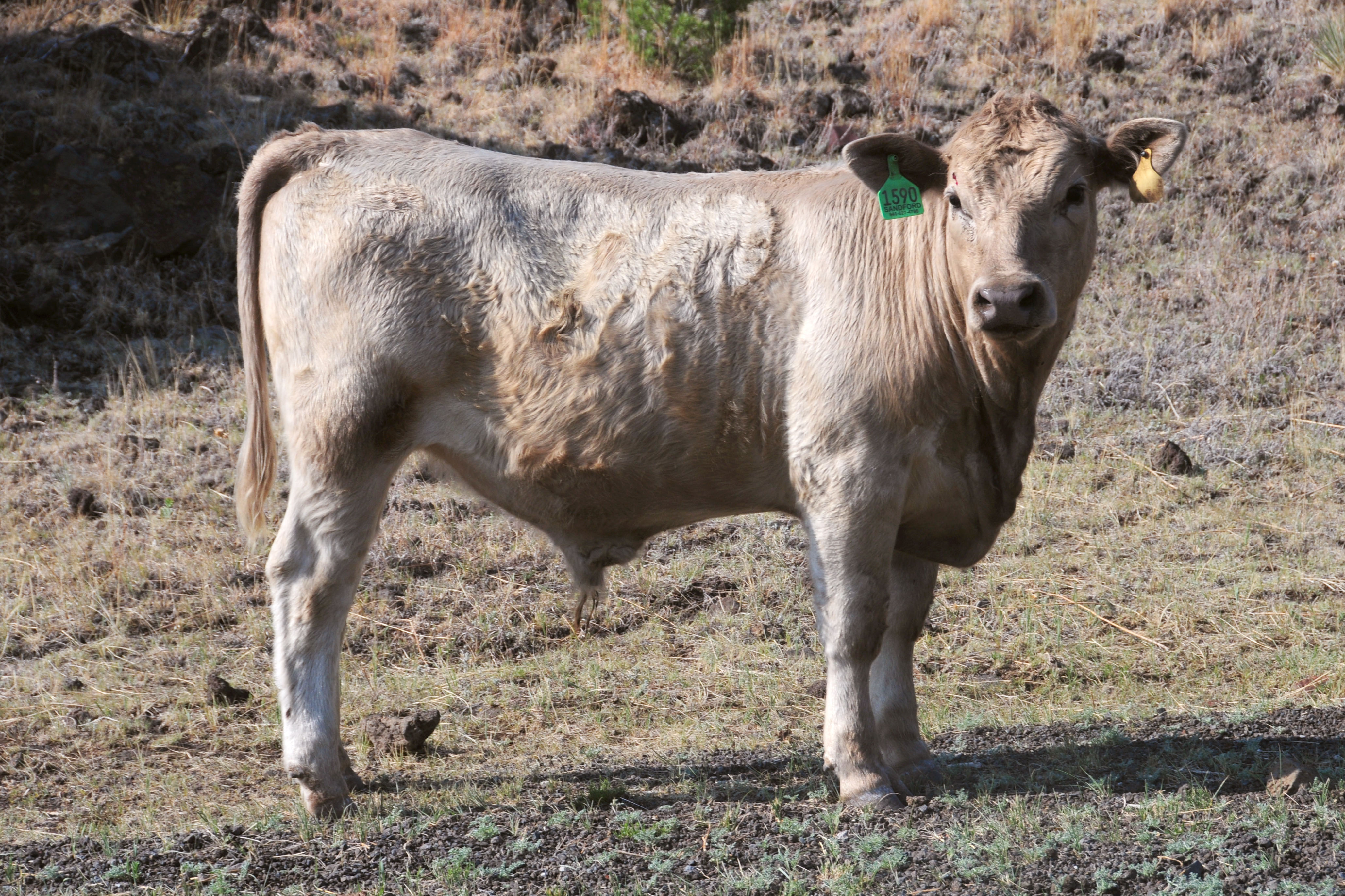
Our first photo from New Mexico. It appears to be a large beast of some kind, possibly carnivorous.
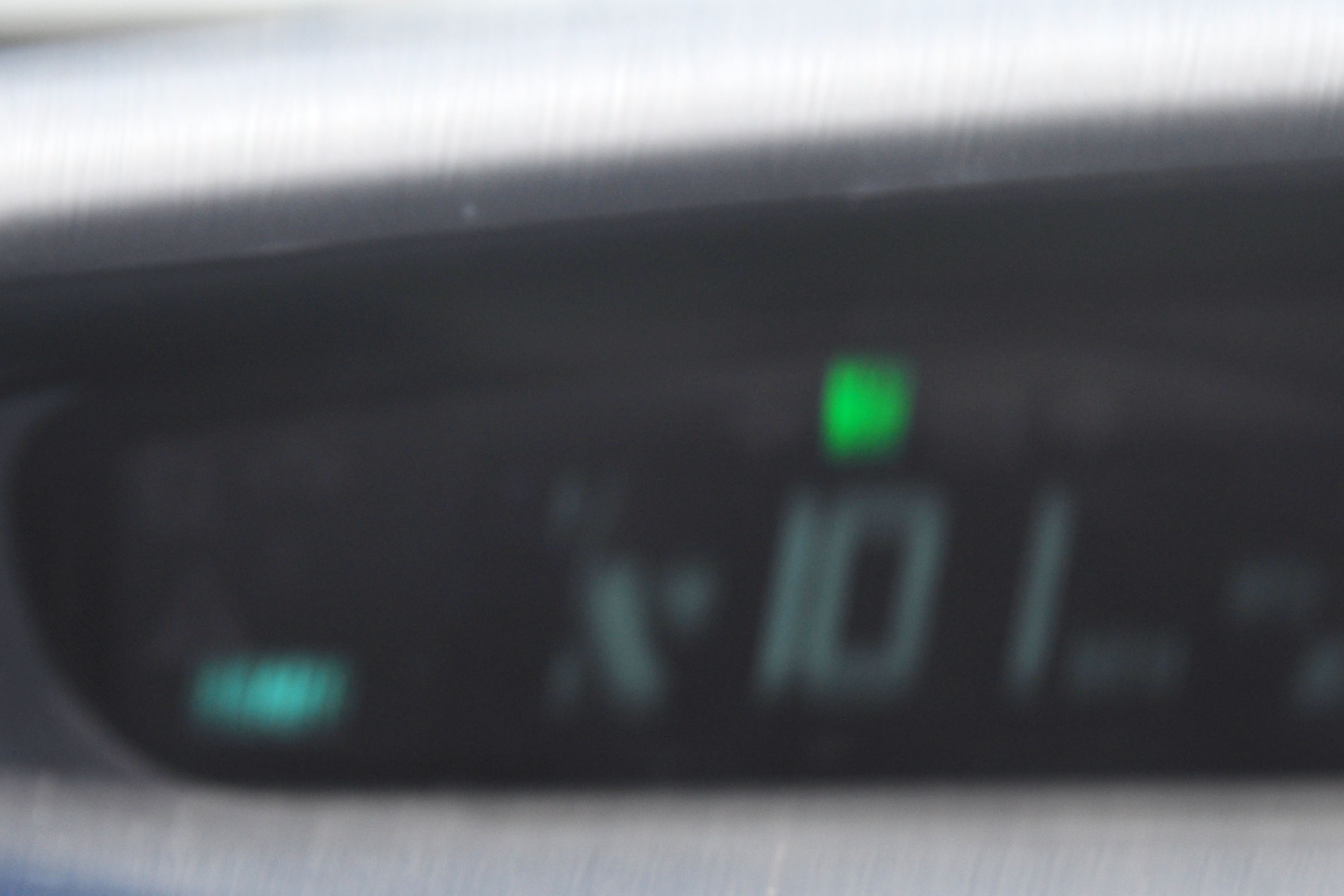
Can a Prius go 100mph? Well, down a road I’ve driven far too many times… yes!
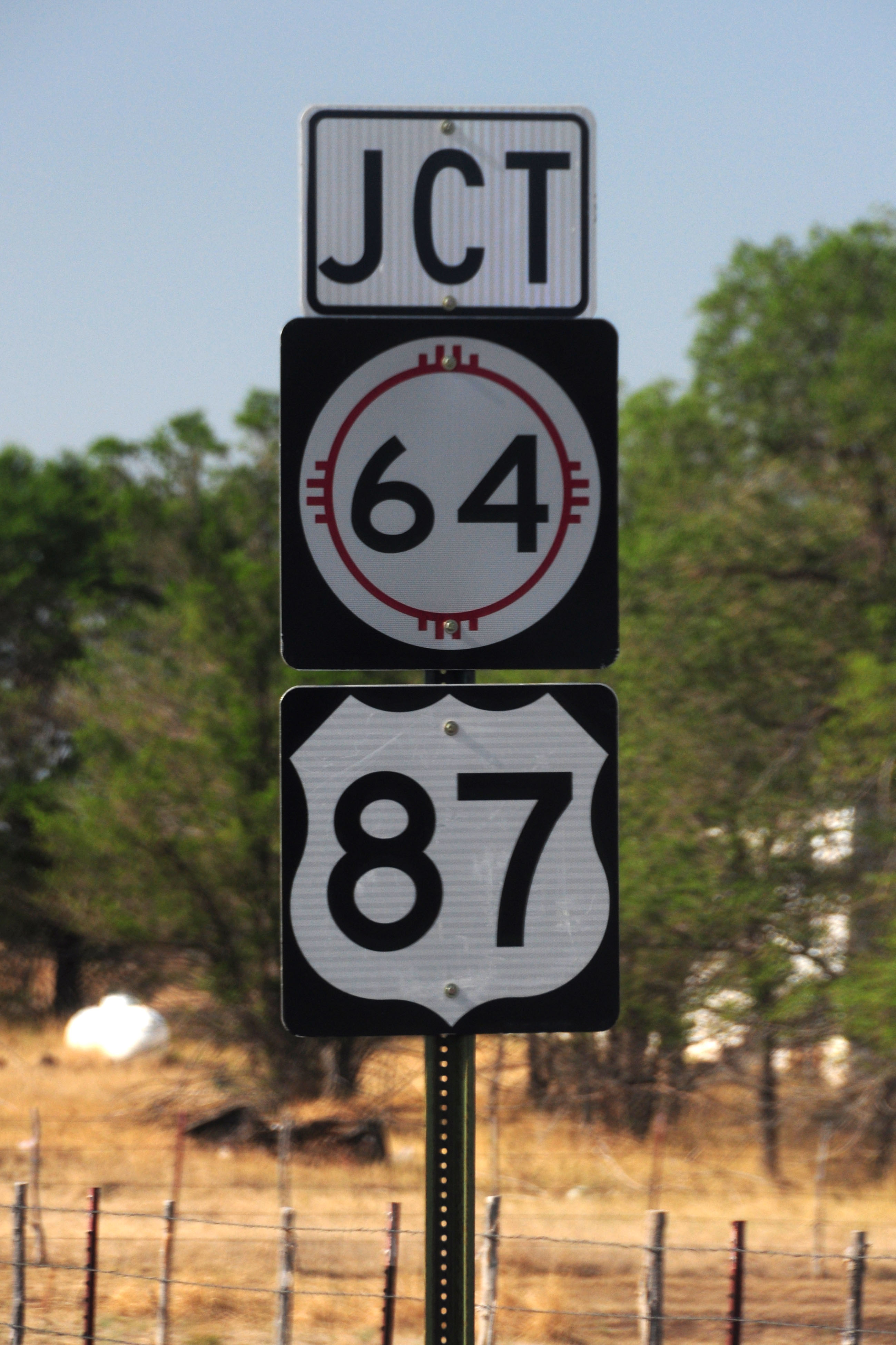
Oh dear, US-64 got demoted.
and that’s where we leave off for now!


About picture #7: It could be both a “public” road and someones driveway. Here in Ohio many rural farm driveways are maintained by the Township. Some even have Township route markers. In Guernsey County, Ohio, in particular, nearly every Township maintained driveway is signed with road name or route number. The route number signs are becoming rare, though, they were last erected in the ’70’s.
In picture #20, why didn’t you give us a full view of the old riveted pony truss bridge?
re: picture #7 – thanks for the info! the driveway didn’t see much maintenance, though – it was a two-track path.
re: picture #20 – I just couldn’t get the angles and lighting lined up for a particularly photogenic shot.